Mount Chief Pascall
Date: March 8, 2026
Distance: 11km
Elevation gain: 935m
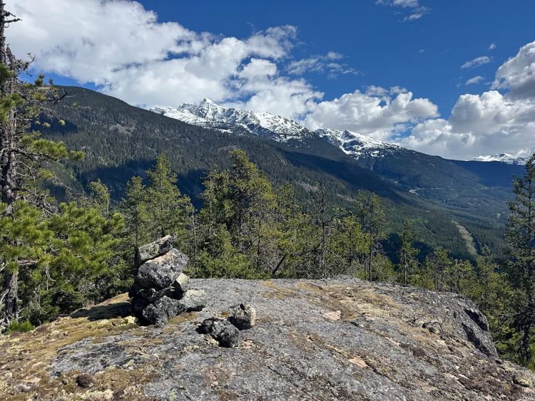
Mount Chief Pascall is a smaller peak to the north of the Joffre Group, offering excellent views of the mighty peaks in that group. There is no trail, but if you're comfortable with backcountry navigation, it’s a great intermediate-level snowshoeing or skiing trip, offering good views over a shorter distance than most mountains in the area.
I snowshoed to the summit in February 2025 after a botched attempt of the North Joffre Creek Horseshoe Traverse, but never got around to writing a trip report. I went back in March 2026 with a VOC trip.
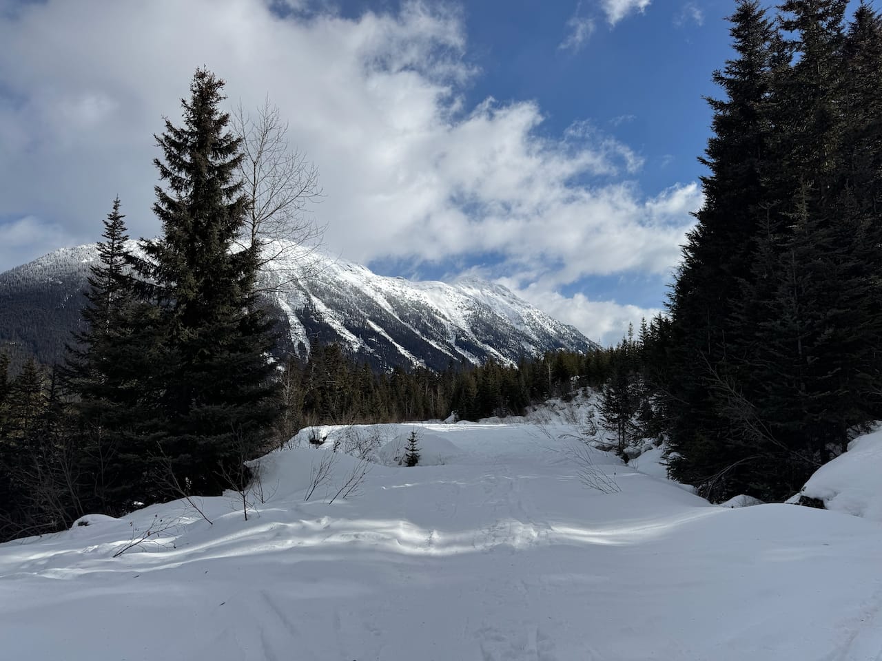
The route starts on the Duffey Lake Road, at the same parking lot as the Cayoosh winter trail. From the parking lot, pass a weather station and head south, crossing Cayoosh Creek. Hopefully there will be tracks to follow.
On the other side, we crossed a FSR at 1290 metres then headed uphill at a fork onto another overgrown road, which zigzags uphill. At 1400 metres we left the road.
If you're lucky, there will be tracks leading in the correct direction. On my first trip, we were not so lucky: we were led on a wild goose chase through the valley to the west of the peak before making our own tracks. The second time went much better. You want to head southeast, passing below some micro terrain, then zigzag southwest to gain the ridge.

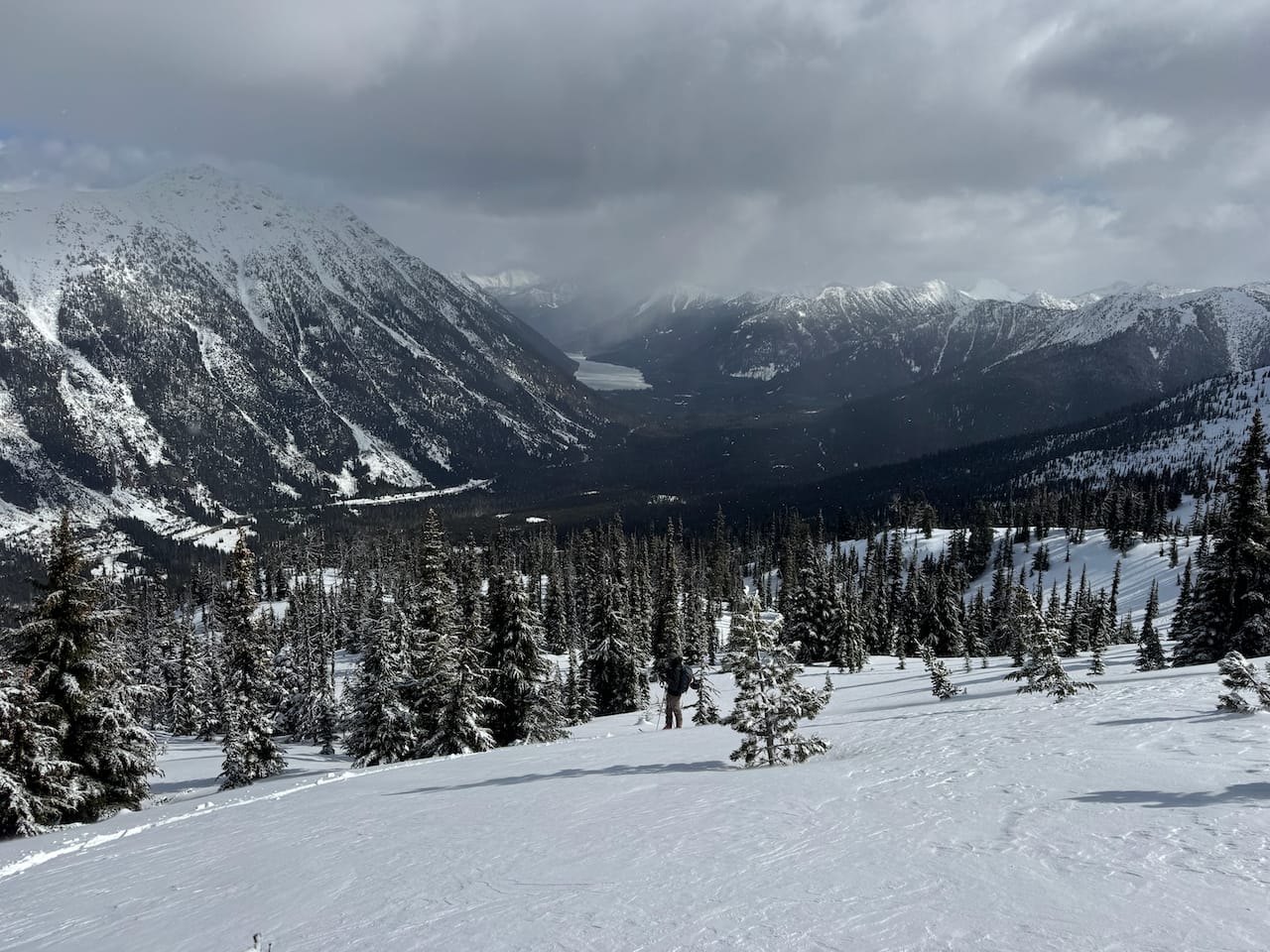
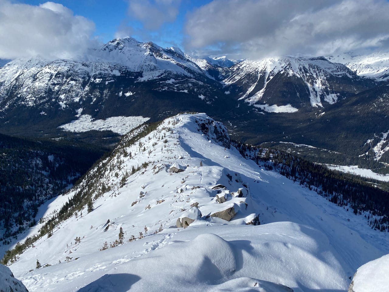
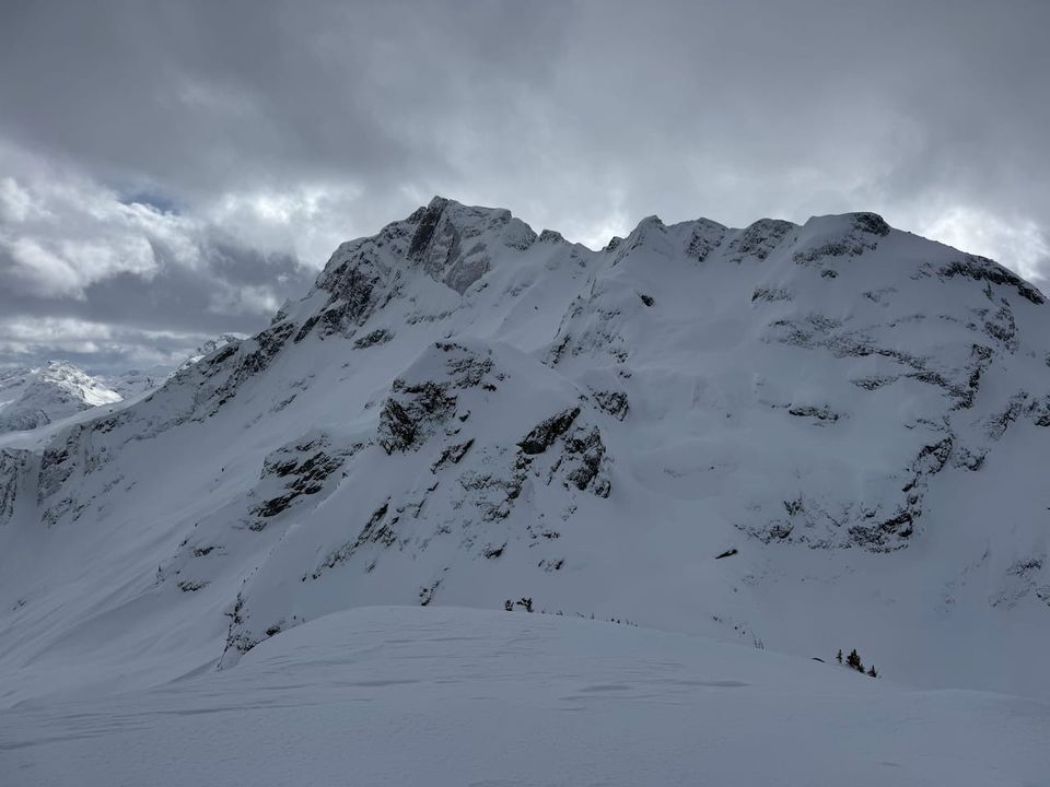
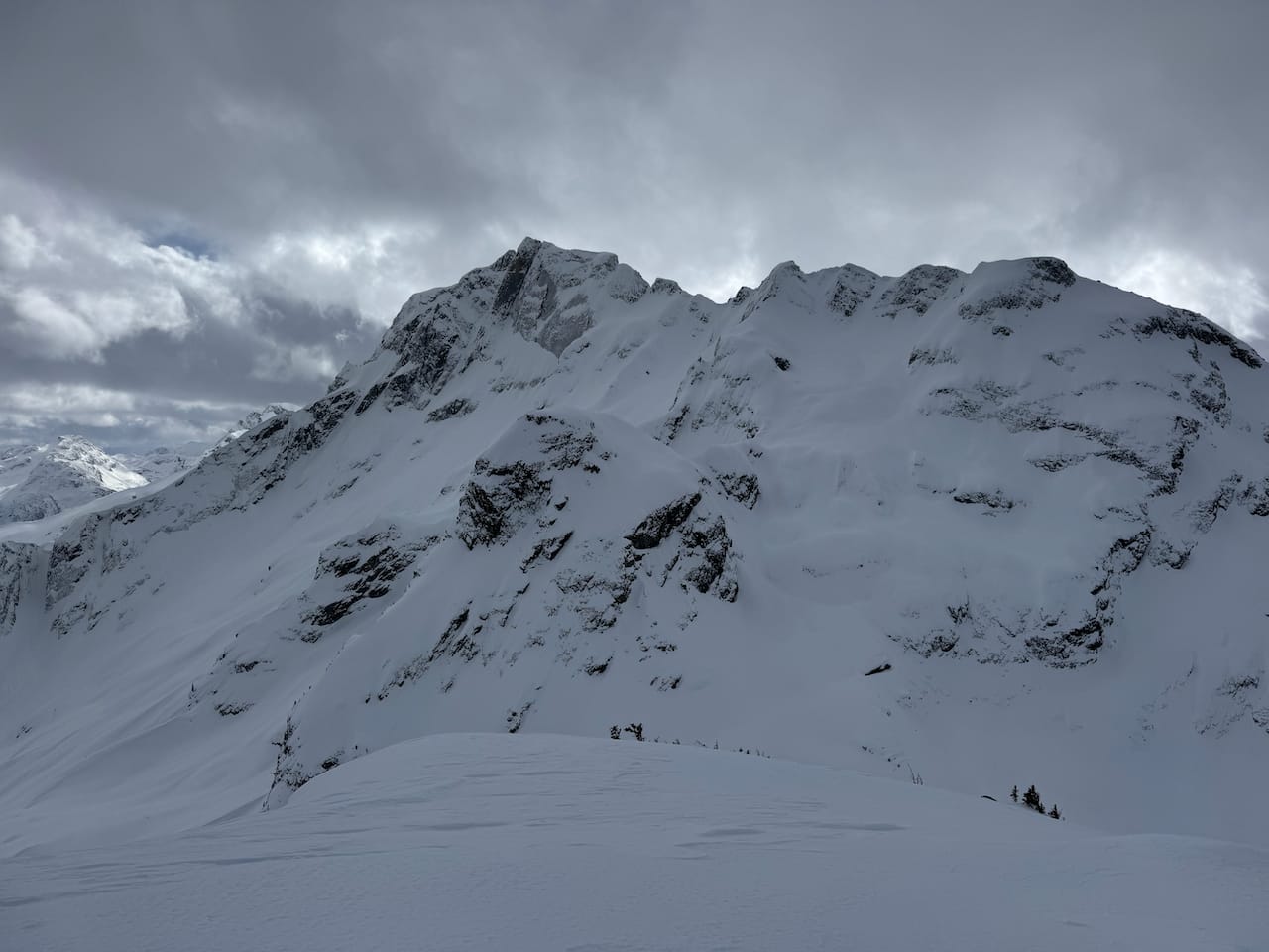
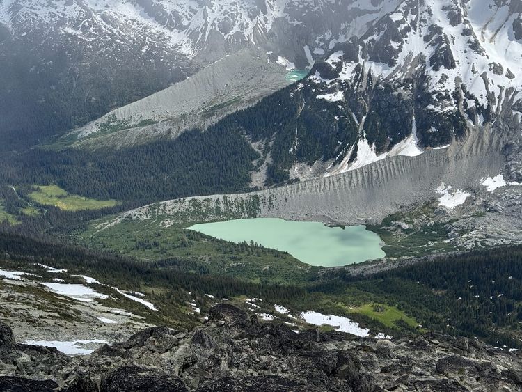
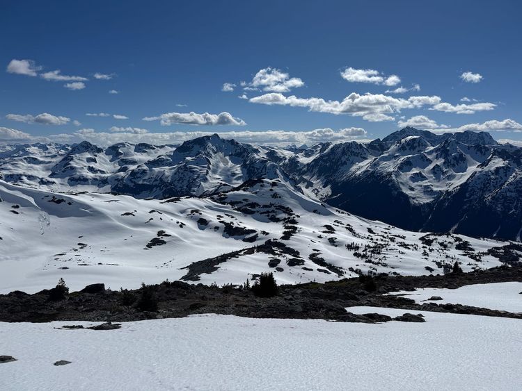
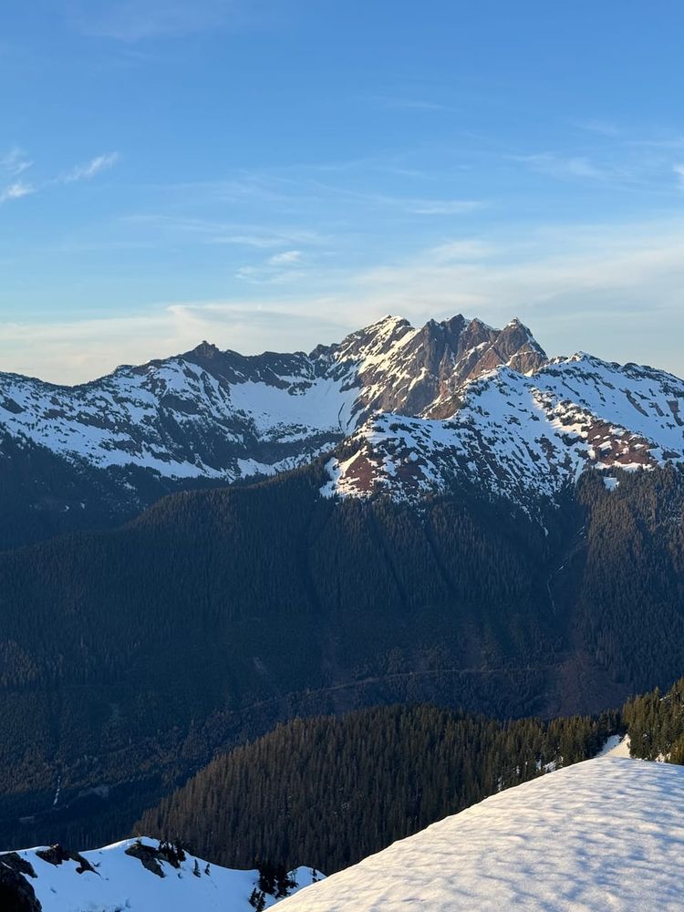
Once on the ridge, the views were excellent, especially of Joffre Peak across the valley. The wind was quite fierce so we put some layers on.
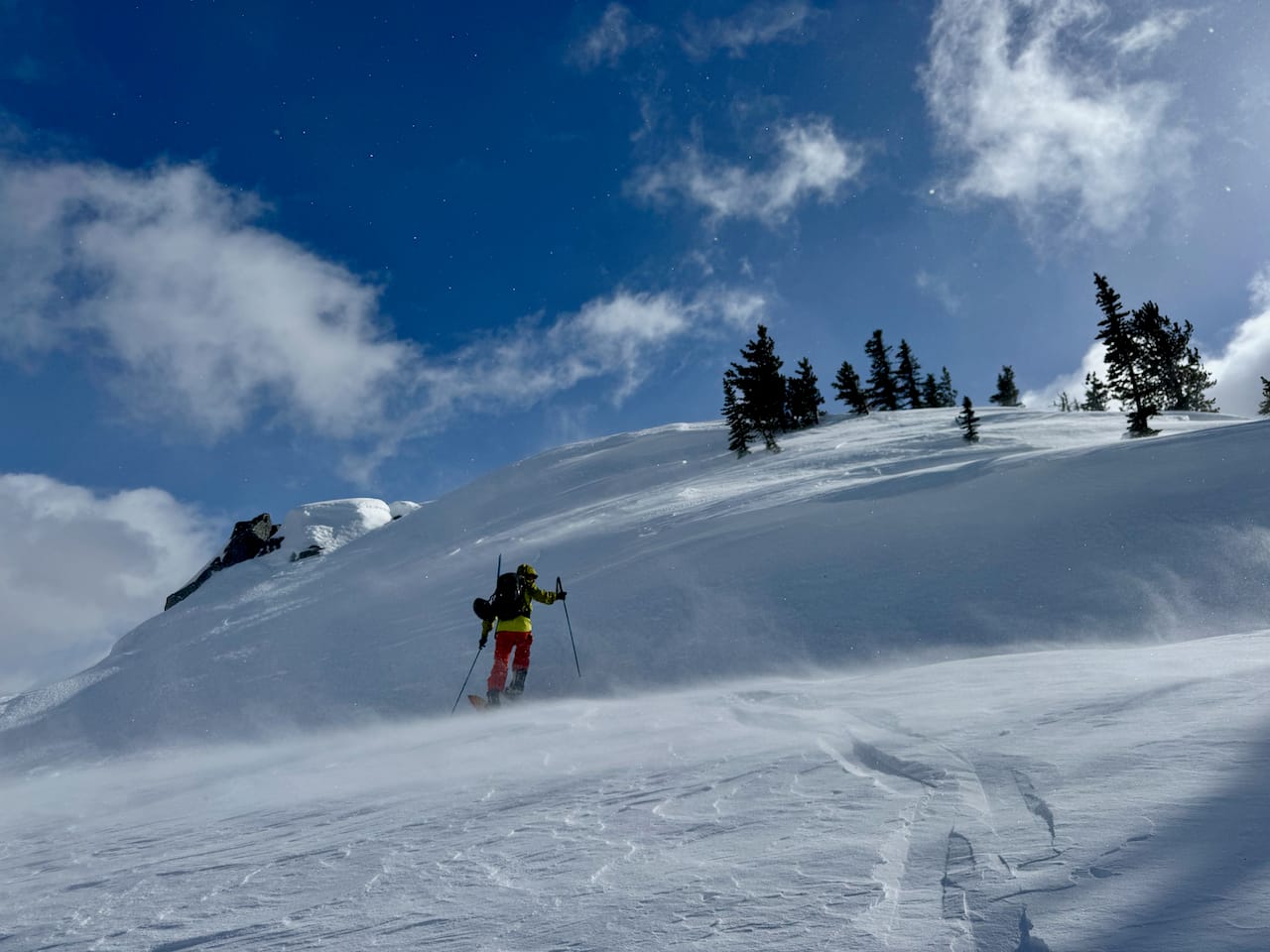
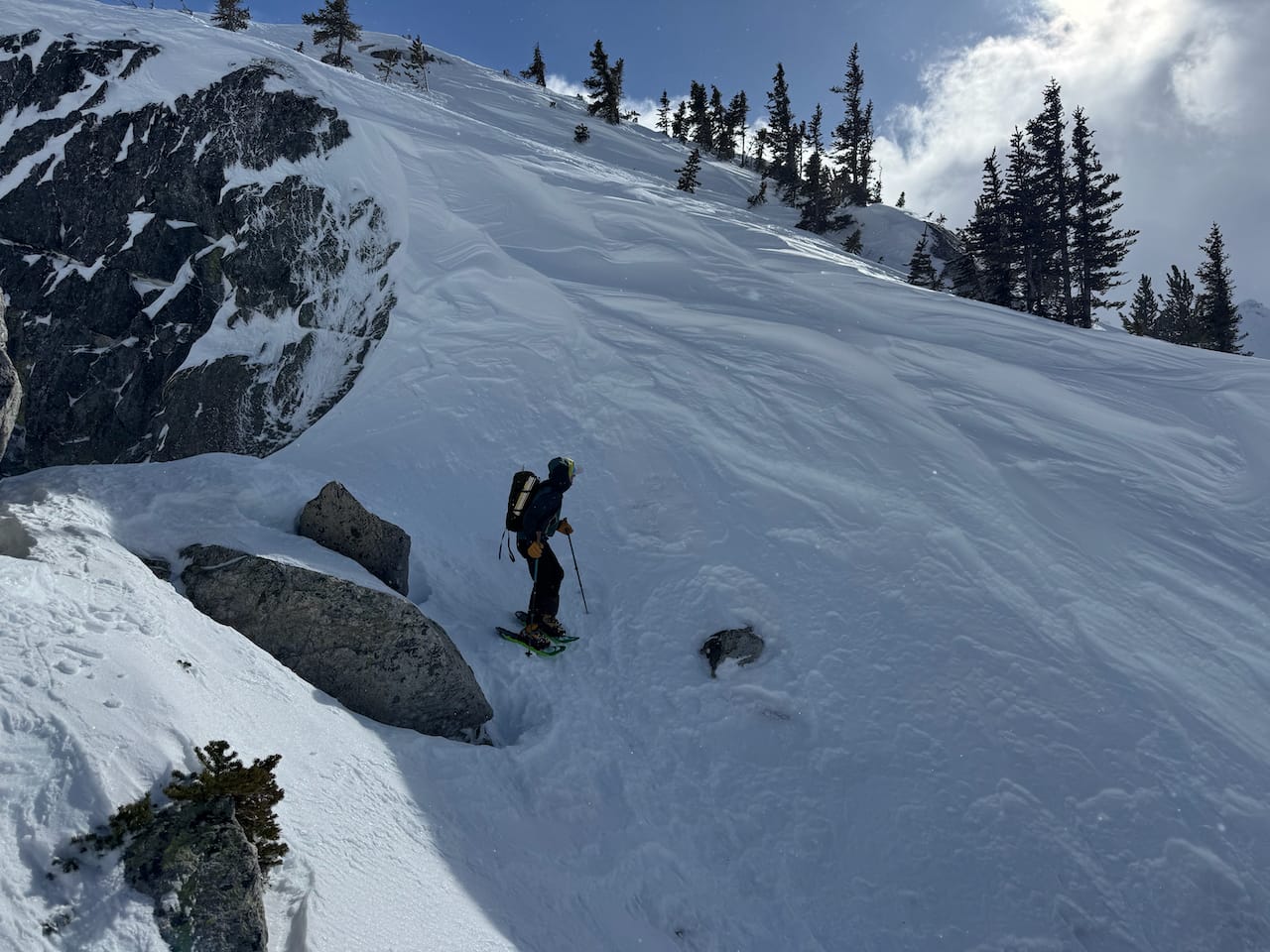
The ridge was mostly a straightforward walk, interrupted by steeper sections where an ice axe was necessary and crampons would have helped. Snowshoes were not the ideal footwear.
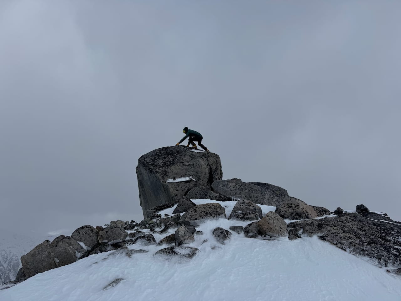
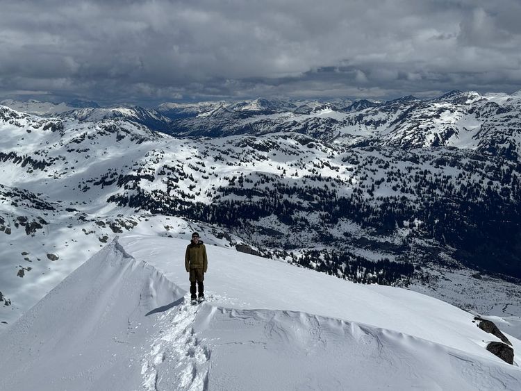
The summit is a long ridge with 3 boulders that could be the highest point. Most seem to agree that the first (furthest northwest) is the highest, but it's hard to tell from looking at it. The boulder was straightforward to climb but a fall to the north would send you off a cliff. Most will be satisfied to get to the ridge below the boulder.
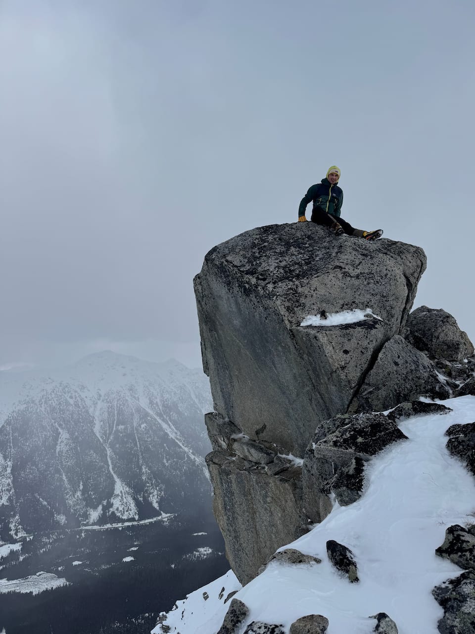
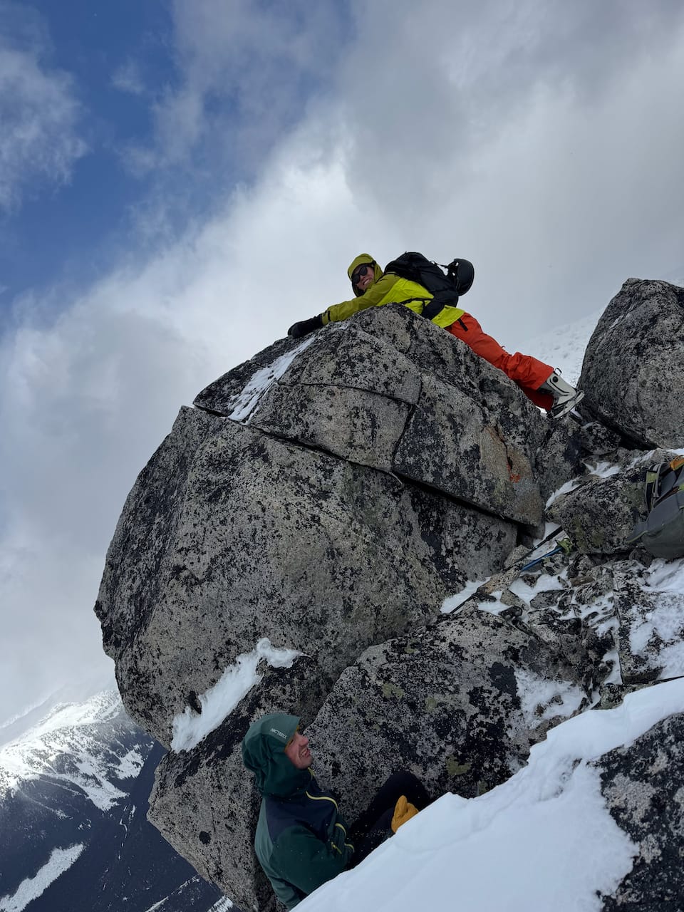
With the wind being what it was, we didn't stay long.
Once past the steepest sections, we split into two groups to tackle the descent. The snowshoers, including myself, returned the way we came, while the skiers descended the route described in the Baldwin guide.
On snowshoes, Paul and I quickly reached the car. We waited for a while but there was no sign of the skiers. Eventually things were sorted out and we returned to the parking lot to begin the long drive home.
Member discussion