Aunt Peak/Sisqa S3
Date: May 17, 2026
Distance: 12.88km
Elevation gain: 1027m
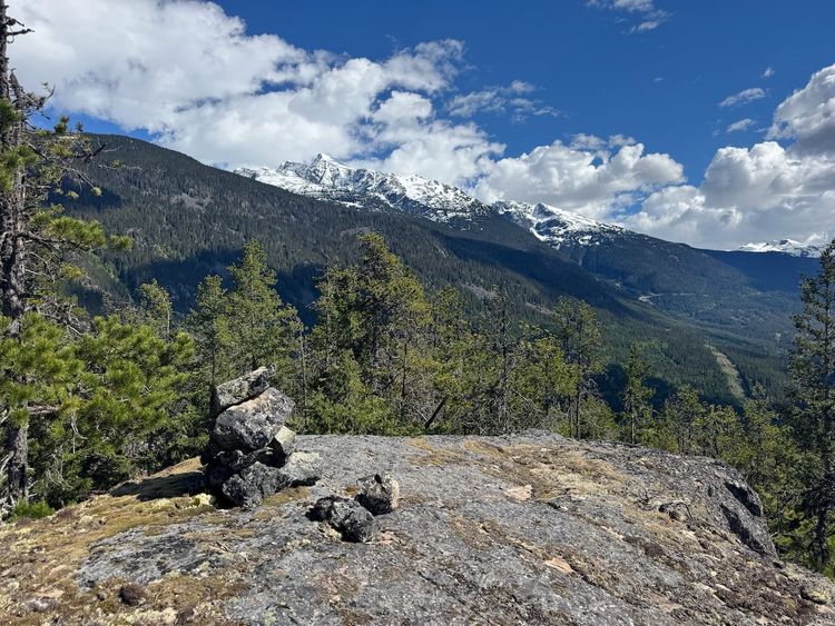
This is an obscure peak guarding the eastern corner of the Pemberton Icefield. If you own a 4runner or a similar vehicle that can navigate washouts, and you time it right (mid-May, to ensure the road is melted out but snow still covers the bushes), it offers excellent views in a relatively short distance. The name “Aunt Peak” was assigned by bivouac.com following the theme of family members’ names in the Lil’wat language (Sisqa Peak, nearby, translates to “uncle”).
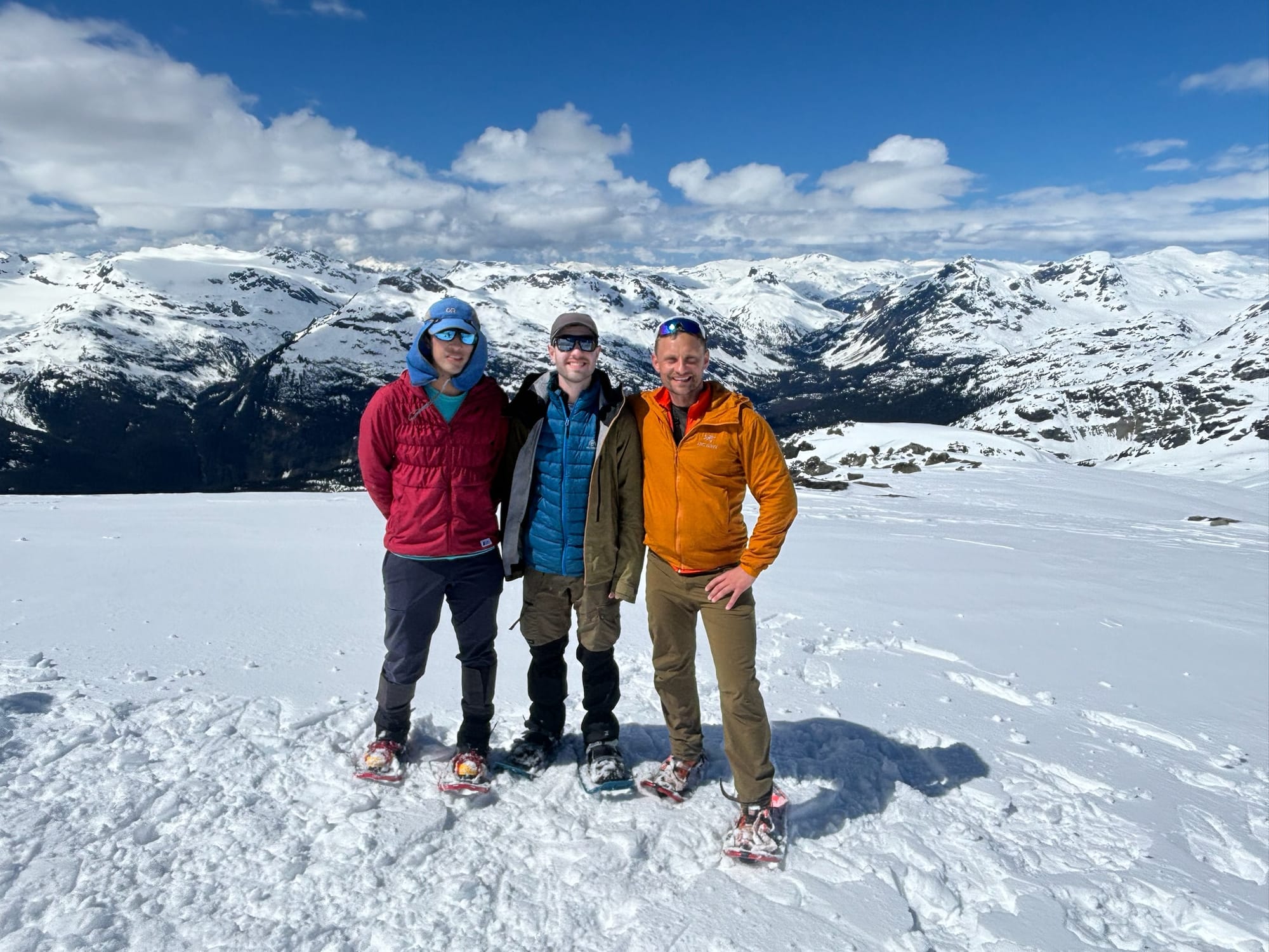
I did this peak with a large group including Steven Song, Rob D. from Melvin Peak, Tanja, Elise, and Francois. We left North Vancouver around 4:30am and headed north. Sunrise on the Sea-to-Sky was beautiful but I forgot to take photos.
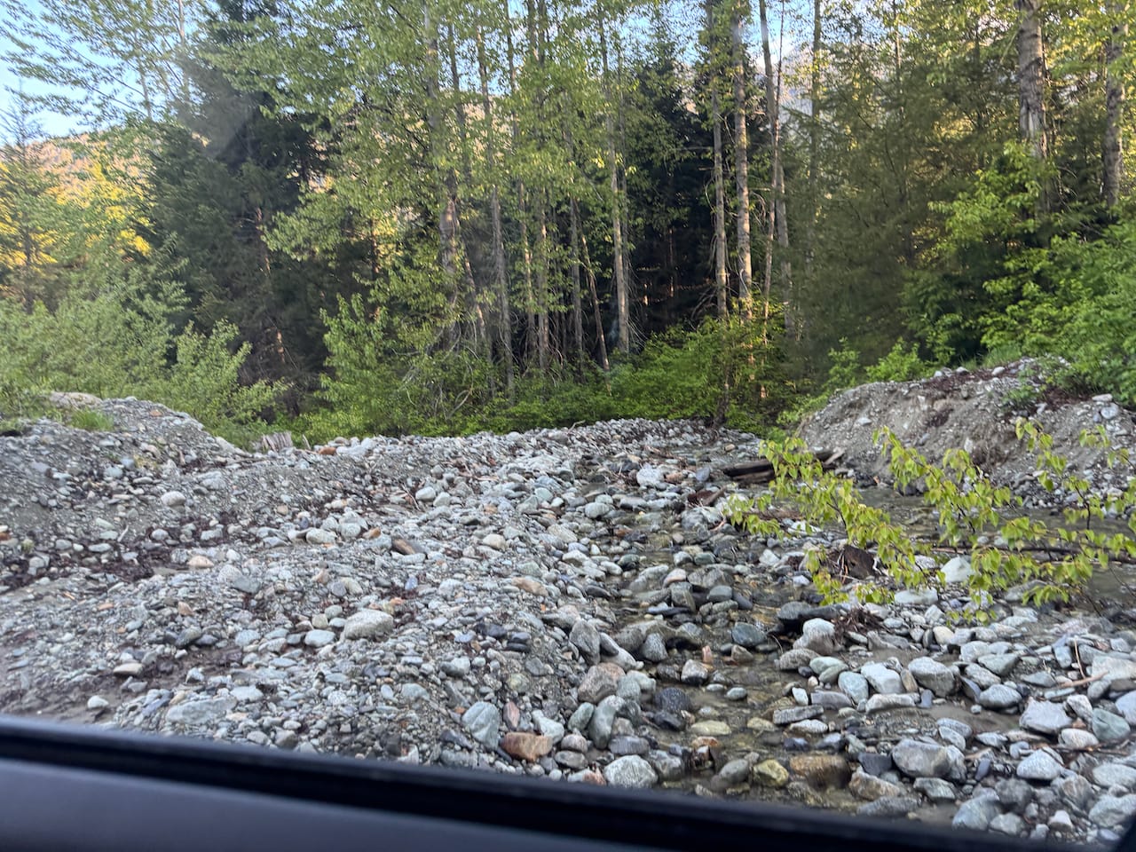
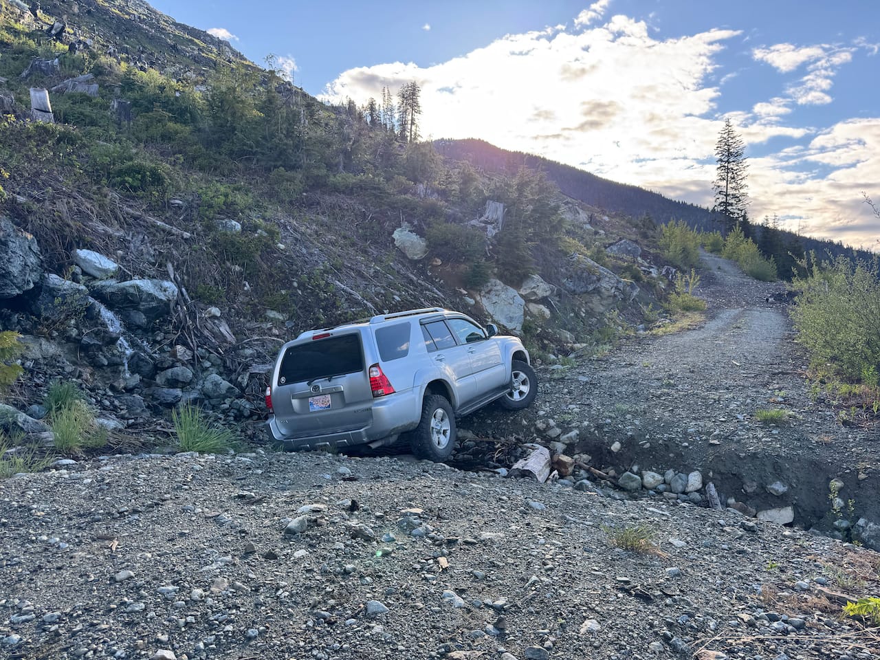
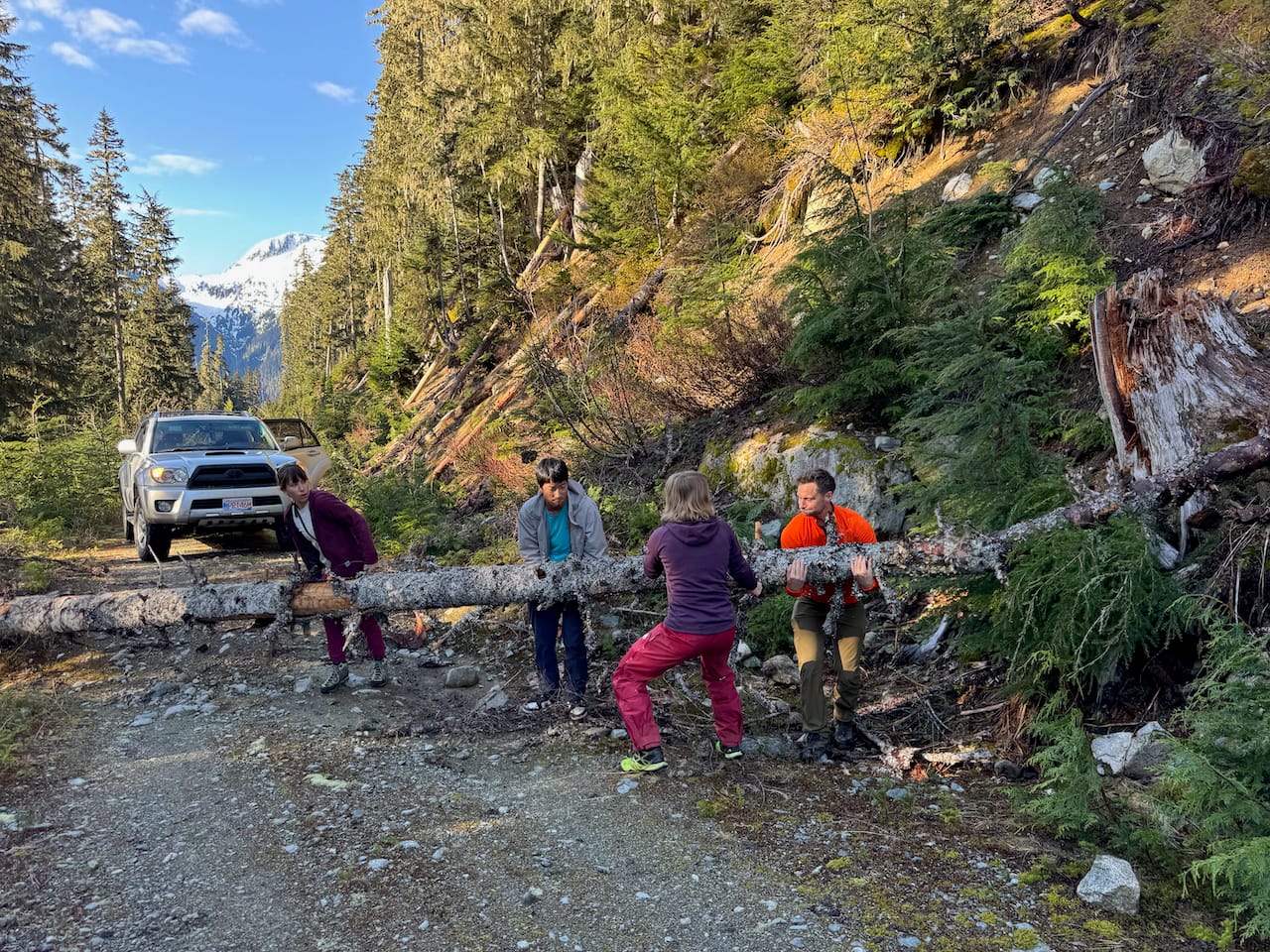
This peak could be accessed from the Soo River FSR or the Rutherford FSR, both northwest of Whistler, but the first approach makes more sense. We met the rest of our group at the turnoff to the Soo River FSR. Steven's Subaru made short work of the drive at first, navigating a washout before Soo Falls that would stop many cars. Past the bridge over Torrent Creek, the road is in rougher shape with deeper cross ditches. Steven stopped at a washout at 1050m and we all climbed into Tanja’s 4runner which took us a few more kilometres, with a few breaks to clear fallen logs and rocks. One log required all 6 of us to move!
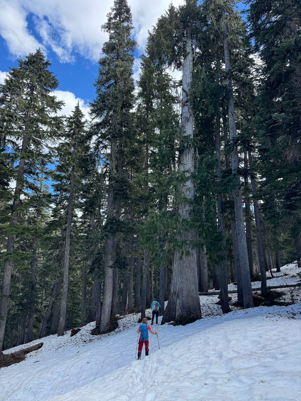
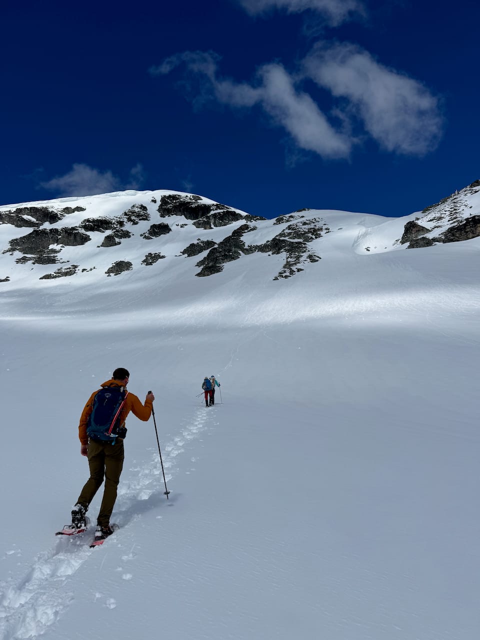
We made it much further than expected, hitting snow around 1050m and hiking from there. It was going to be a short day. The road soon ended and we walked through the forest. There were some unexpectedly large trees.
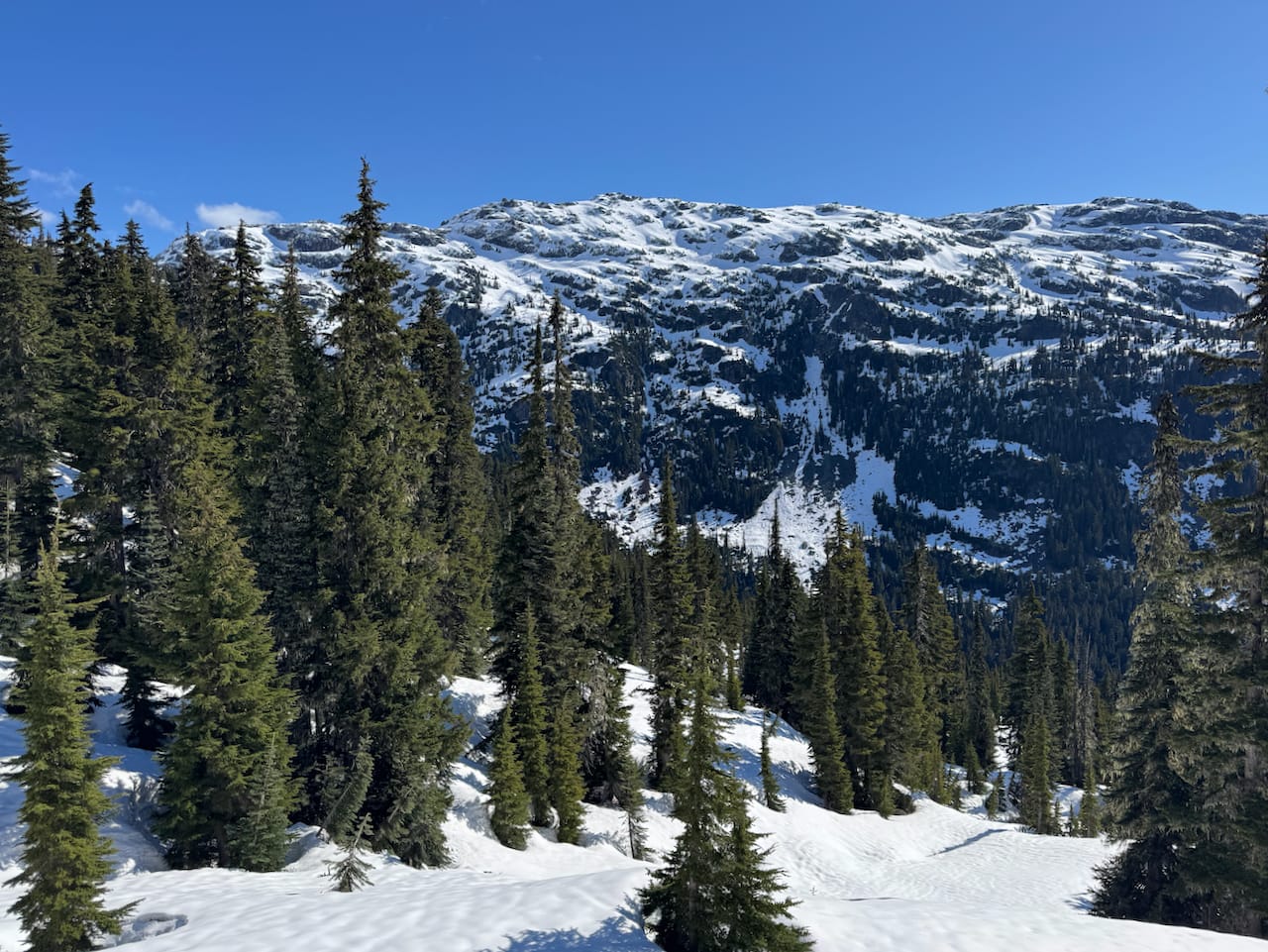
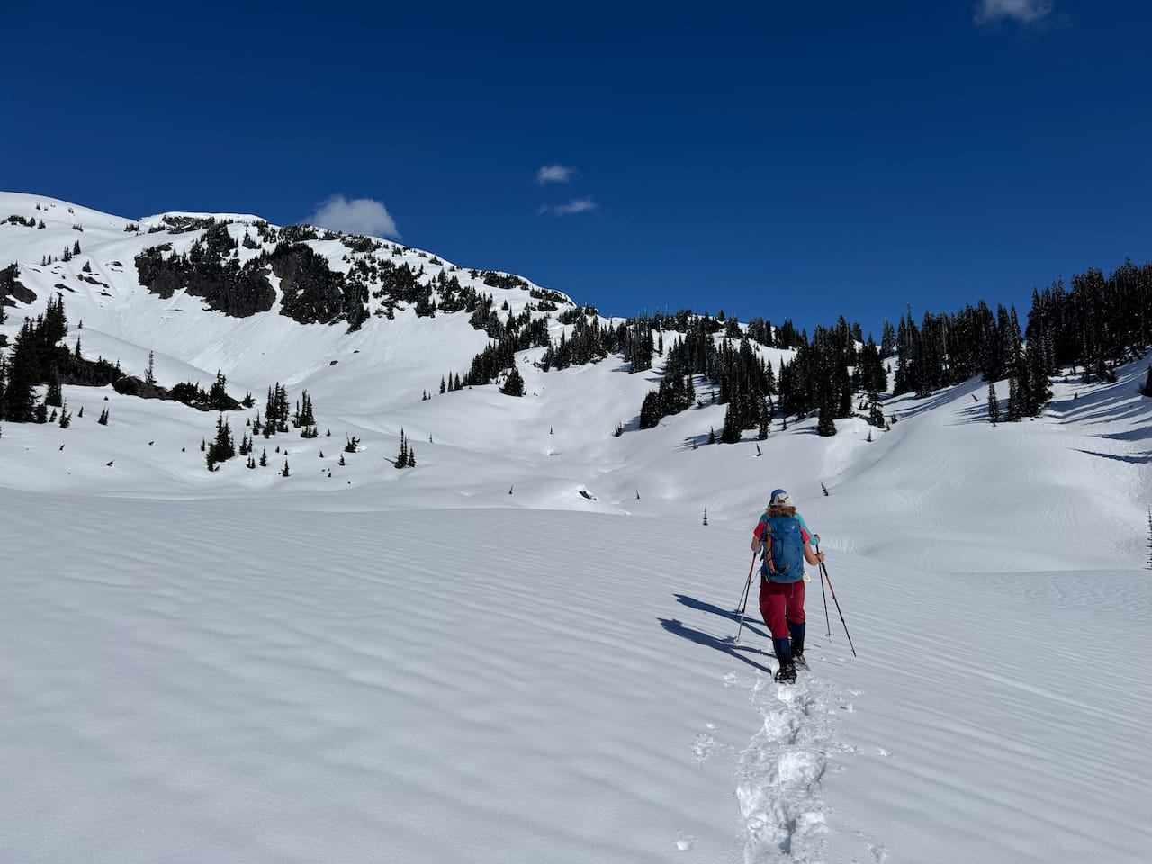
After a couple kilometres of sidehilling, we headed uphill, aiming towards a spur to the east of the peak. From there we took the path of least resistance up a series of slopes. The snow had softened and walking was slippery in places. We heard a few whumpfing sounds.
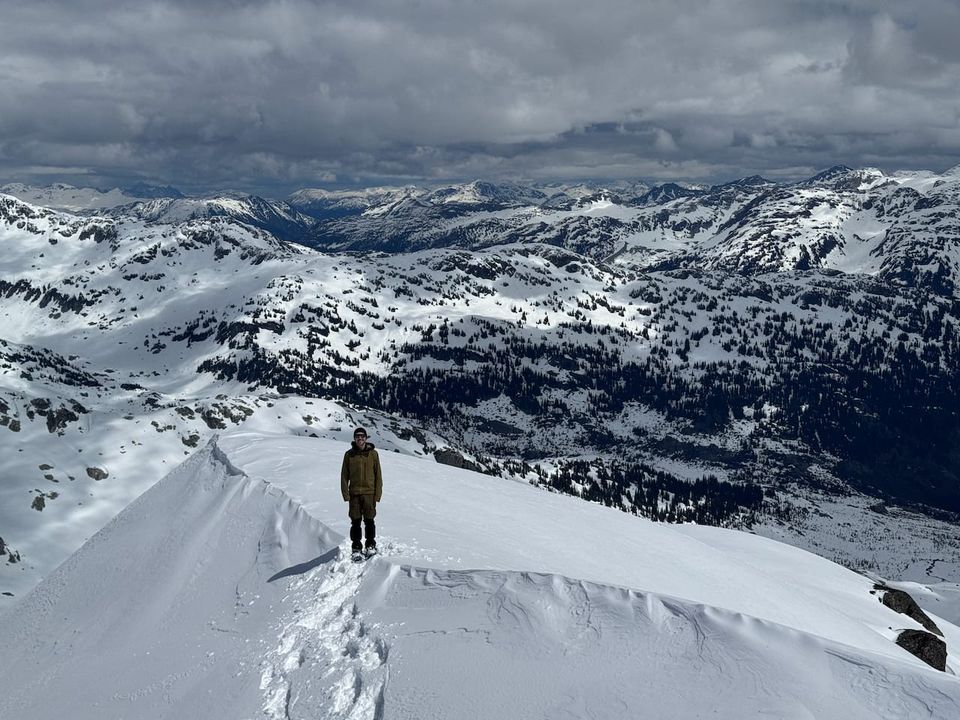
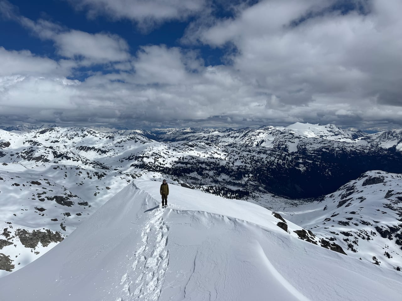
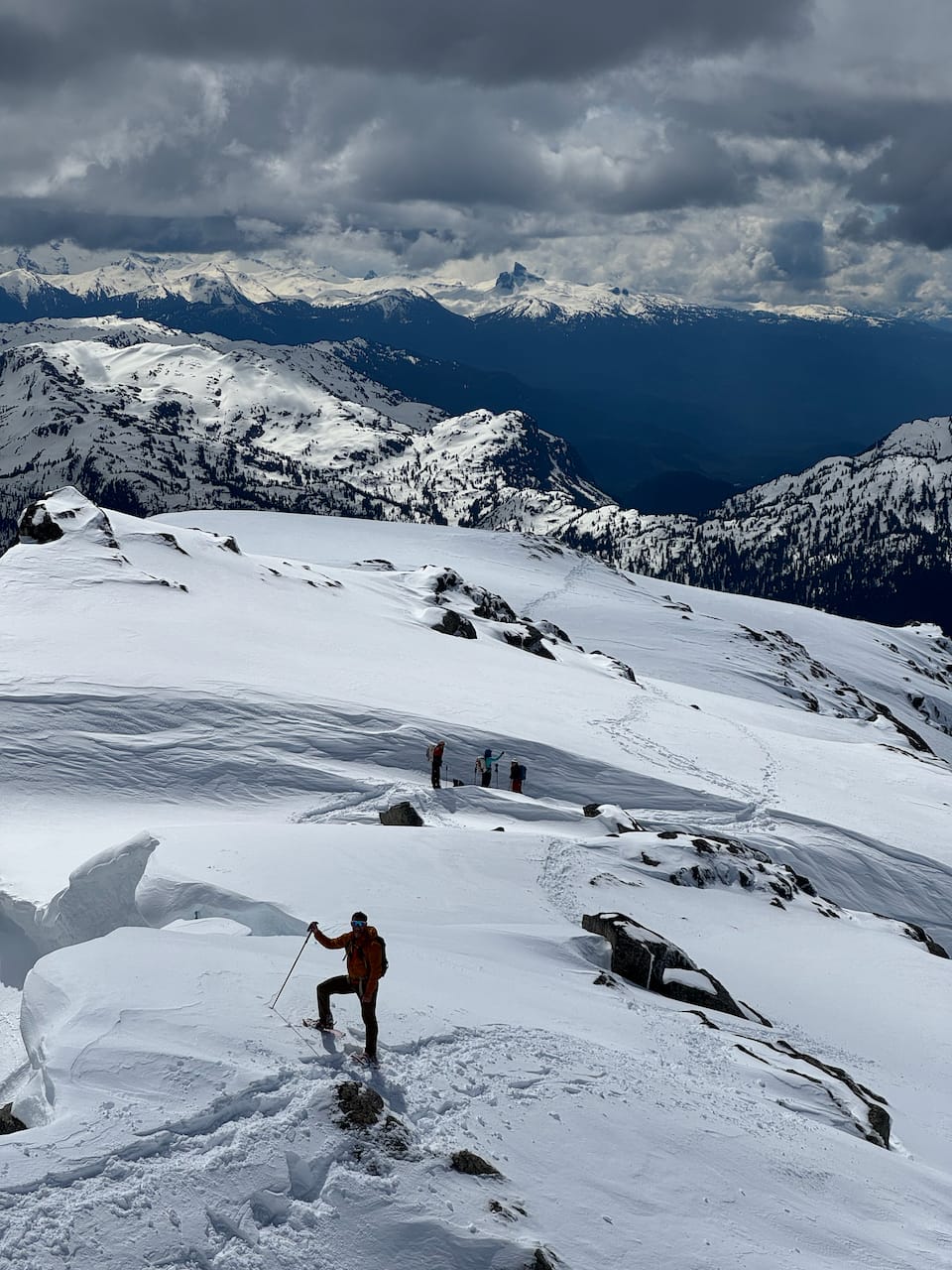
Eventually we reached the ridge. A short walk from there led to the summit, although there was a cornice along the way that had to be avoided.
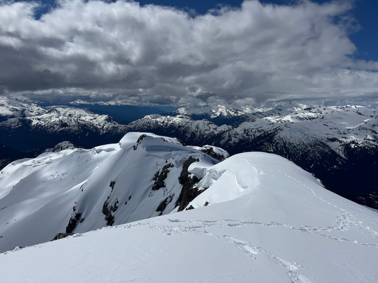
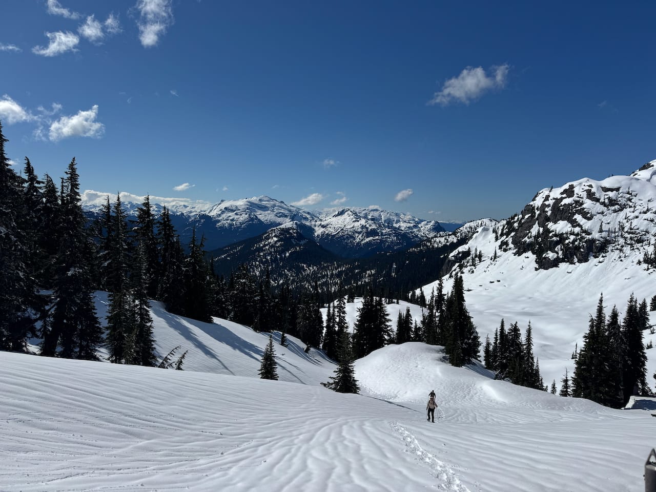
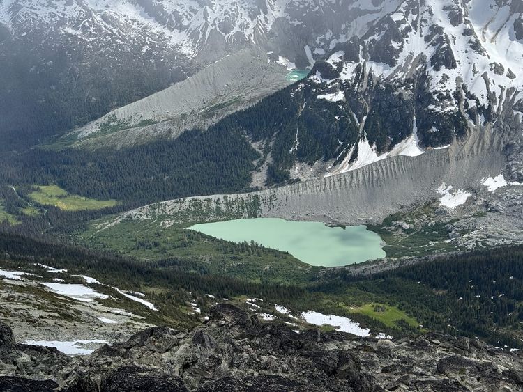
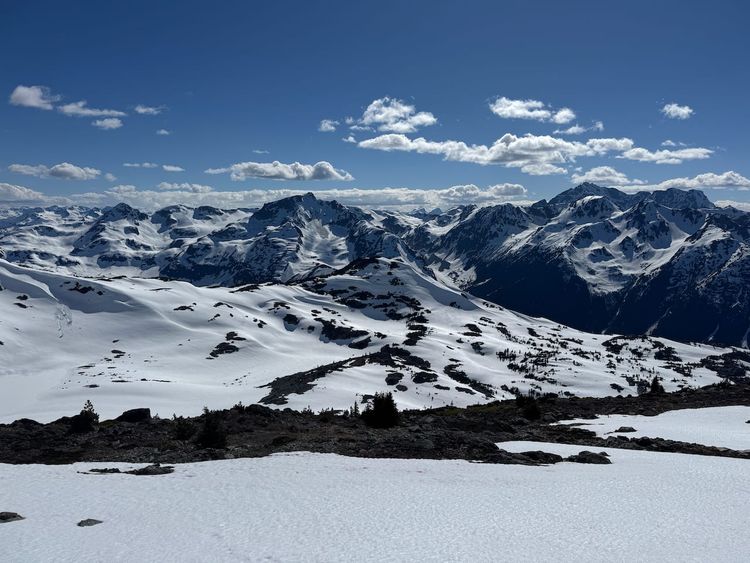
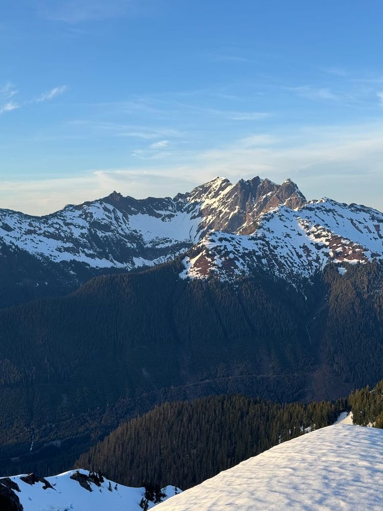
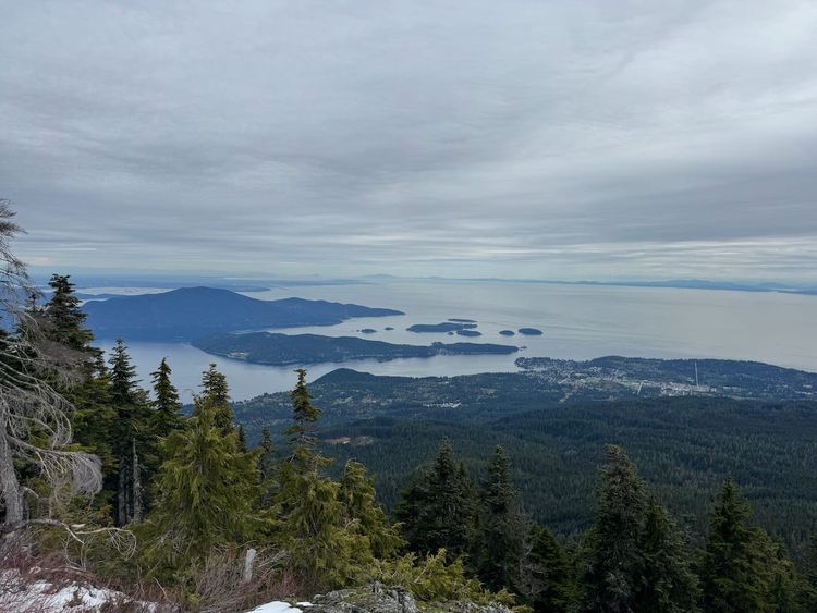
The summit had good views of the icefield and the giants of Rainbow Mountain, Rhododendron, and Ipsoot. It was my first time in the Pemberton Icefield area and it was interesting to see the rarely seen peaks to the west.
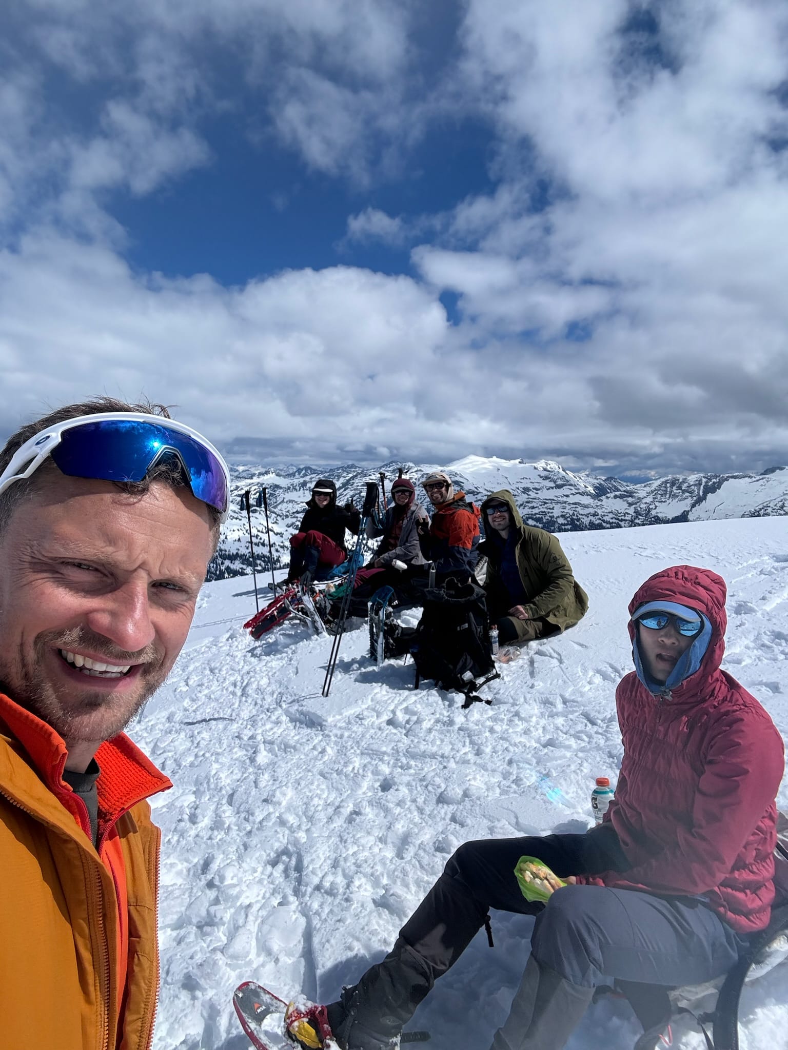
After a long break on the summit, we started heading down, taking lots of photos along the way. Some glissading took place down the steeper slopes.
Eventually we made it to the forest, where we realized one group member lost his ice axe.
We returned to the car, piled into the 4runner once again, then drove back down the road to the Subaru. I had a very relaxing nap on the drive down. The day had been much shorter than expected, so at the highway, we decided to try another peak.
Member discussion