Mount McNair
Date: April 30, 2026
Distance: 8.9km
Elevation gain: 1070m
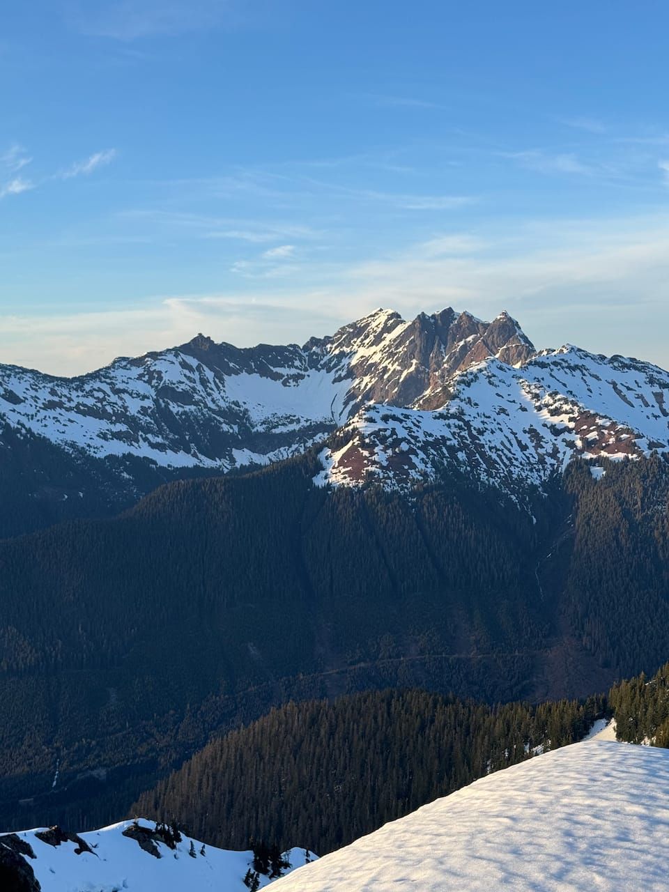
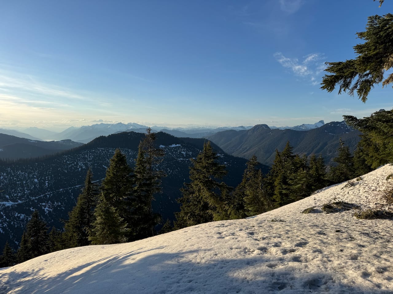
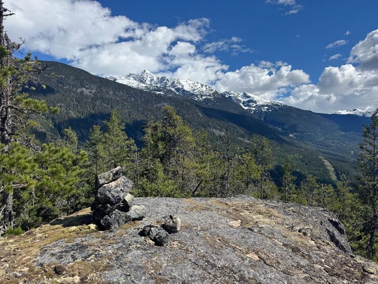
Mount McNair is a mostly-forested summit located on the eastern side of Harrison Lake. At the last second, the trees clear, revealing stunning views from the summit, especially towards the towering giants of the Old Settler, Cheam range, and Chehalis area. There is no trail, and it’s next to the much more accessible Slollicum Peak, so McNair hasn’t seen many ascents.
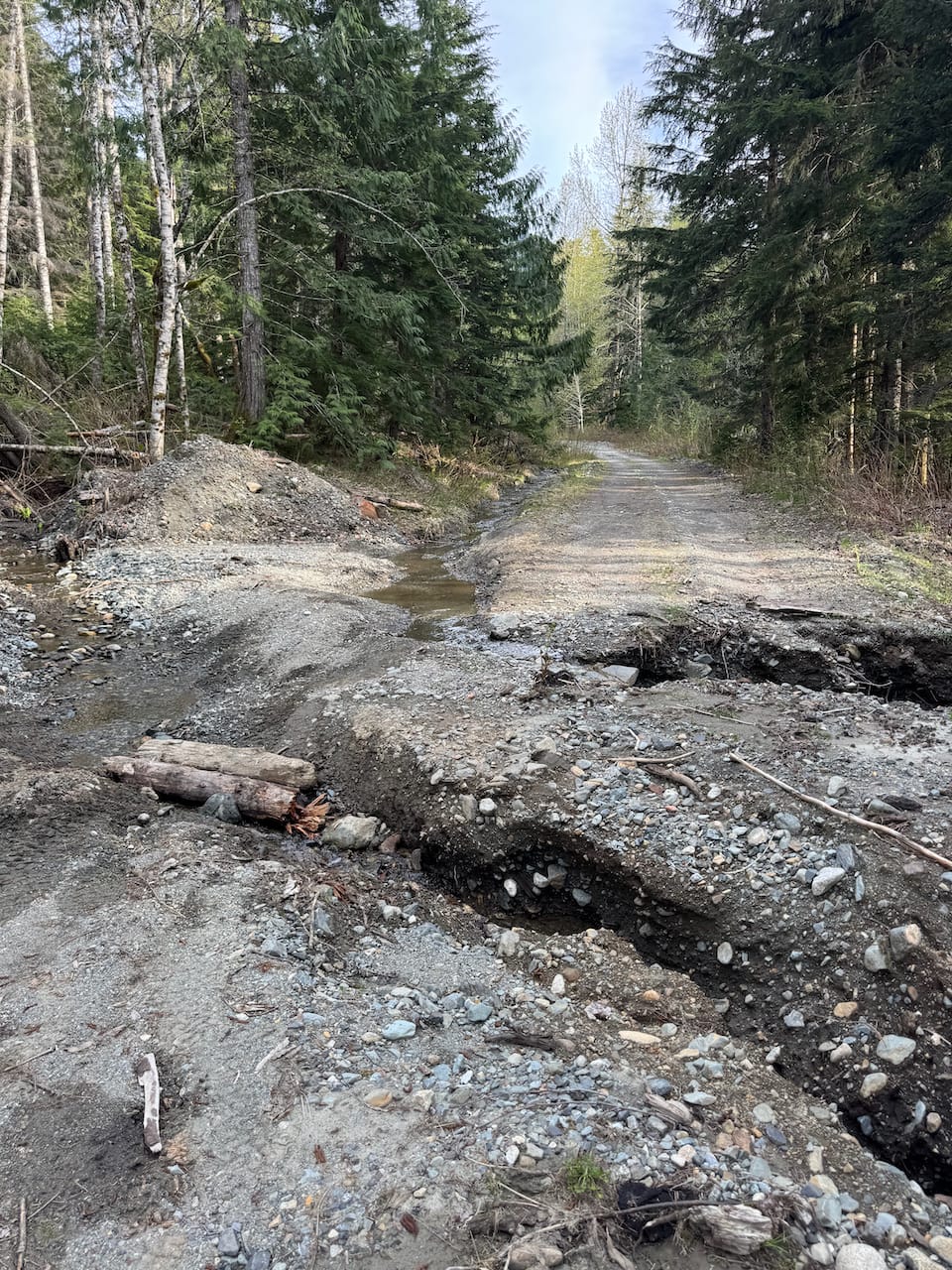
The area was logged a couple years ago; one trip report from 2024 mentioned a scary encounter with a half-naked logger. The logging is now done, leaving a road on which most medium or high clearance vehicles could get to 650m elevation. There is a gate, which would add 3km each way, but as of April 2026 the gate was open. This is realistically the easiest access that this mountain will see for a while, so get it while you can.
I had two half-days available. The plan was to drive to Harrison Lake to take advantage of a weather window there, climb Mount McNair, then camp.
The Harrison East FSR was in good shape. After 15.5km I headed east on the Bear Creek FSR which was also in surprisingly good shape. Along the way I passed a campsite. The road is washed out about 50 metres from the trailhead so I just parked there.
While I was getting ready, one of the campers from further down the road drove past me and asked if “there was an emergency or something”. He said he’d been camping there for years and had never seen anyone on this road before. Then he left. I’d planned to camp at the trailhead and climb the peak the next day, but I didn't want to spend the night on the same road as his campsite, so I decided to quickly ascend the peak before dark and camp somewhere else.
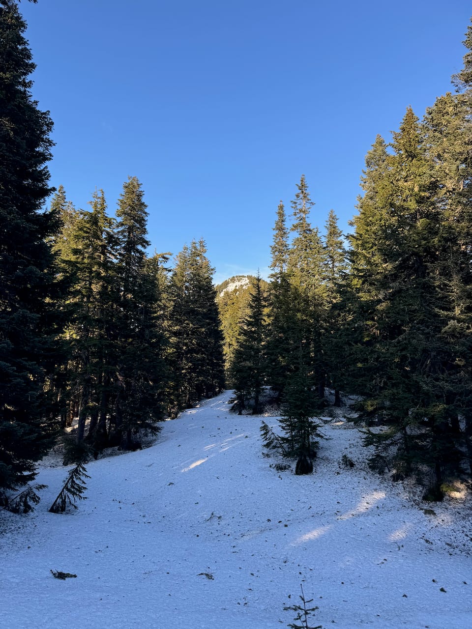
The first eight hundred metres are along an abandoned FSR with enough alder to be annoying. I was really regretting not bringing clippers. At 820m I left the road and walked uphill through a cut block. Past the cut block was some second growth forest with intermittent flagging, which led me to another long-abandoned road.
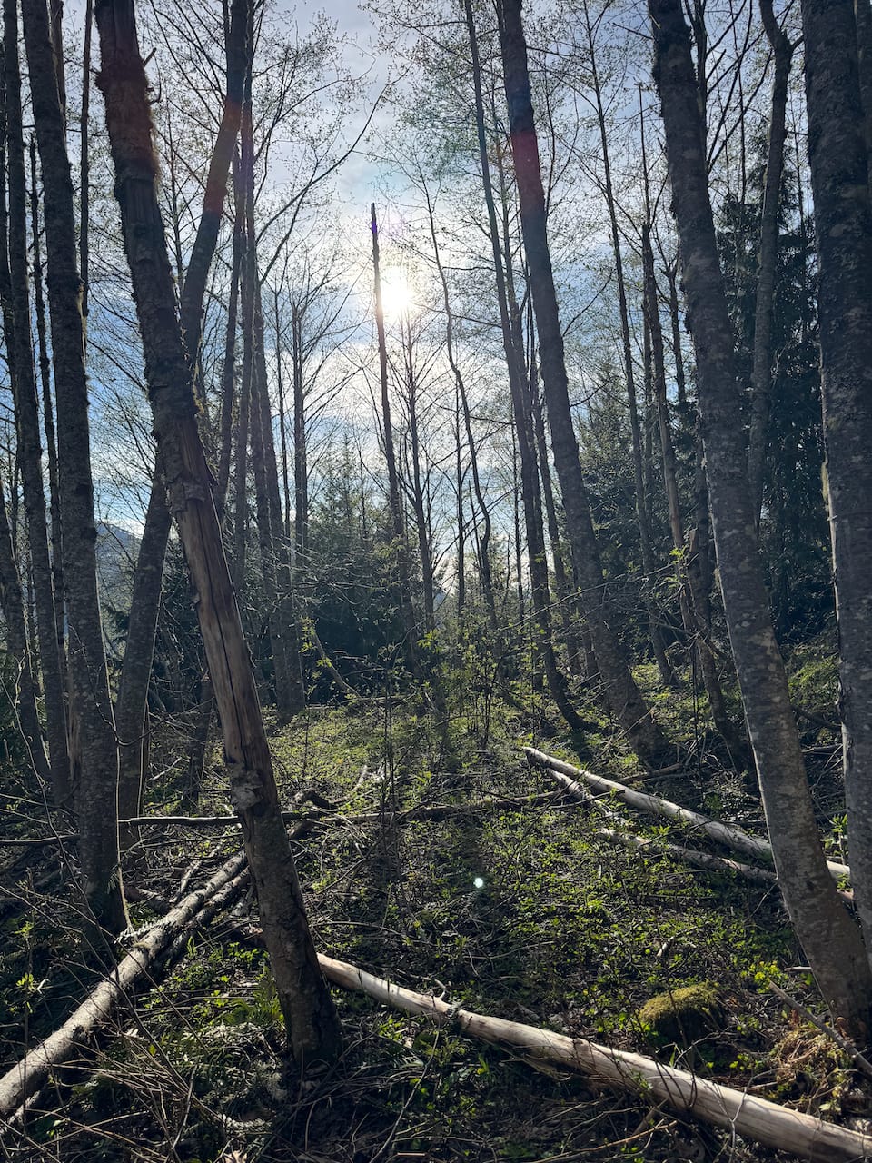
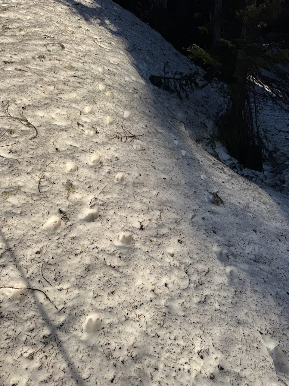
I headed east for a few hundred metres, then went back uphill. If the road isn't flagged you've gone too far. Some more forest was followed by another cutblock, followed by a flat area where the snow began. This would probably be a marsh in the summer. The sun had melted the snow and I postholed a few times.
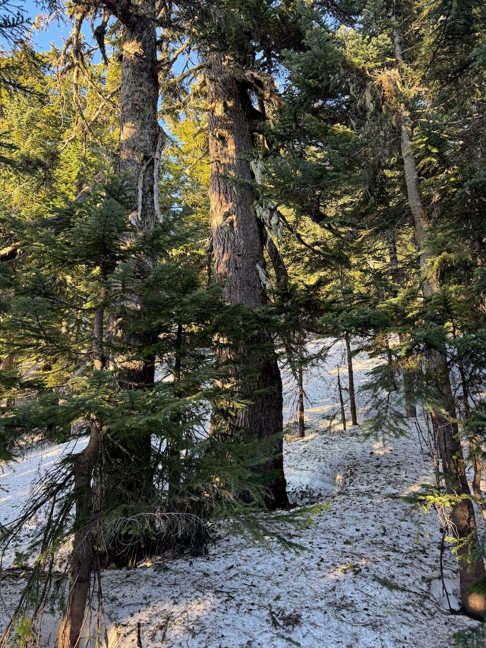
From there I followed the ridge to the summit. In the forest, the snow was solid and travel was quick. As promised, the ridge was forested until the very end.
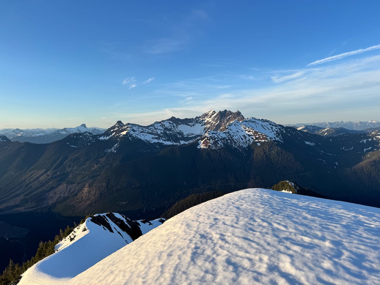
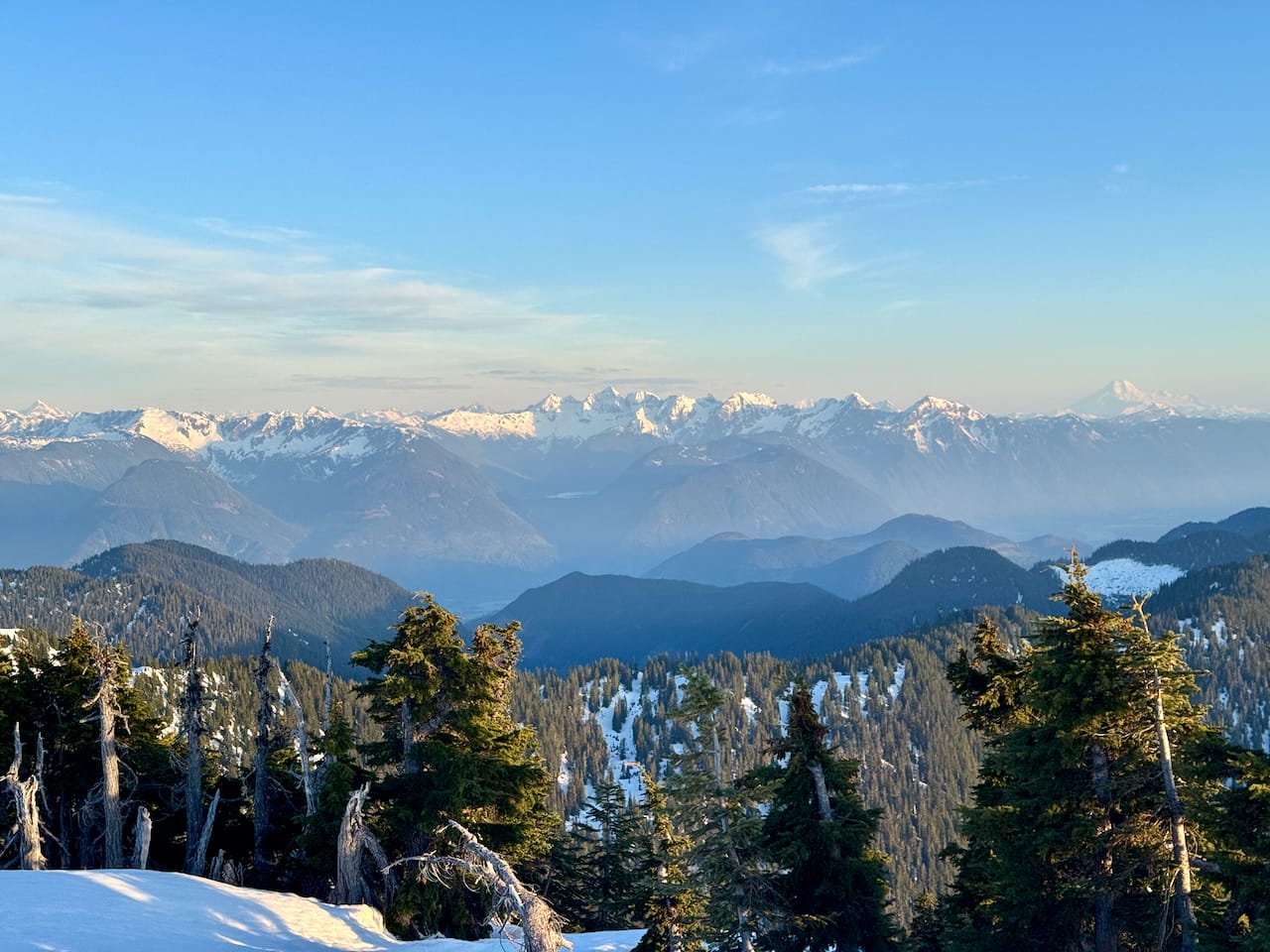
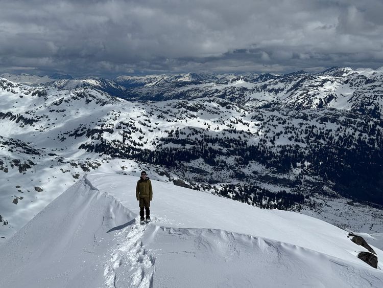
The rest of the hike hadn't really indicated how nice the views would be from the peak. The massive wall of the Old Settler was directly across the valley from me. The Cheam Range and obscure Chehalis peaks were also highlights. I could see as far as Wedge Mountain which I’d done a few weeks earlier.
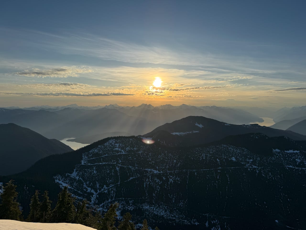
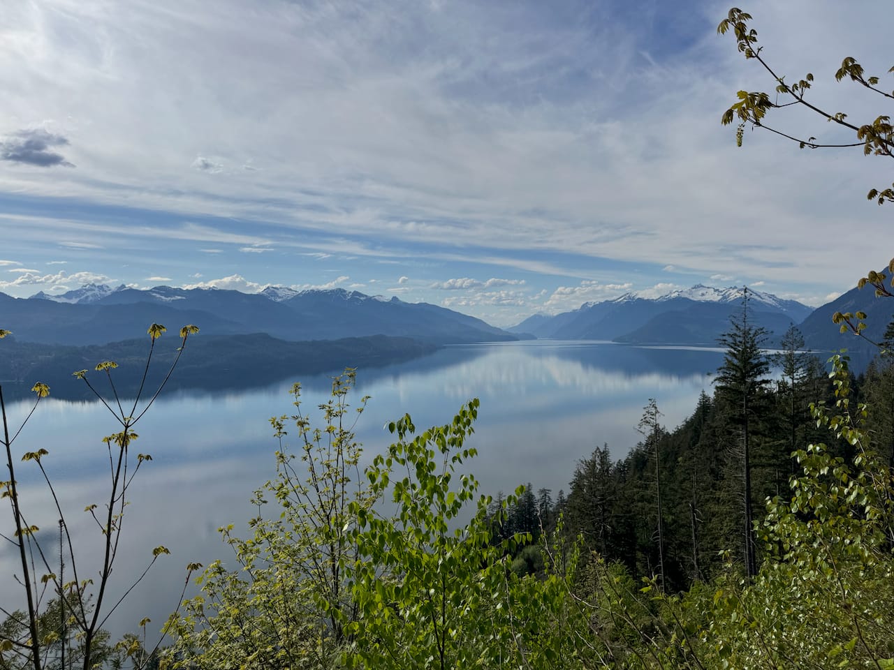
Sunset was in less than an hour so I couldn't stay long. I jogged down the way I came, reaching the first cut block just past sunset. I returned to the car, found an epic campsite overlooking the lake, then returned early the next day.
Member discussion