Spipiyus Peak/Caren Peak
Date: March 29, 2026
Distance: 5km from my starting point; much further if you park elsewhere on the FSR
Elevation gain: 306m or much more
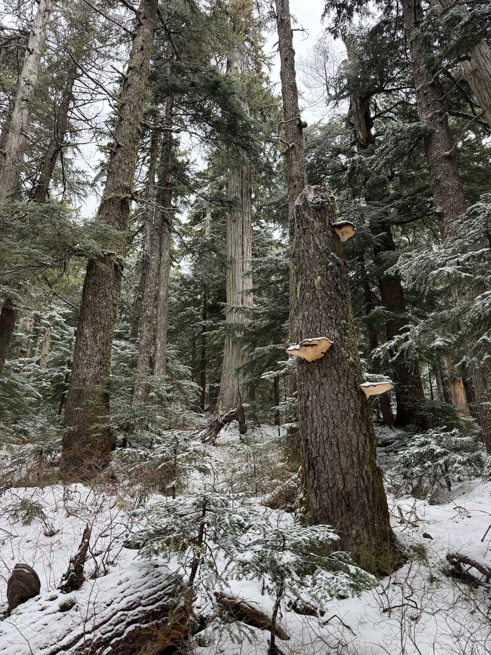
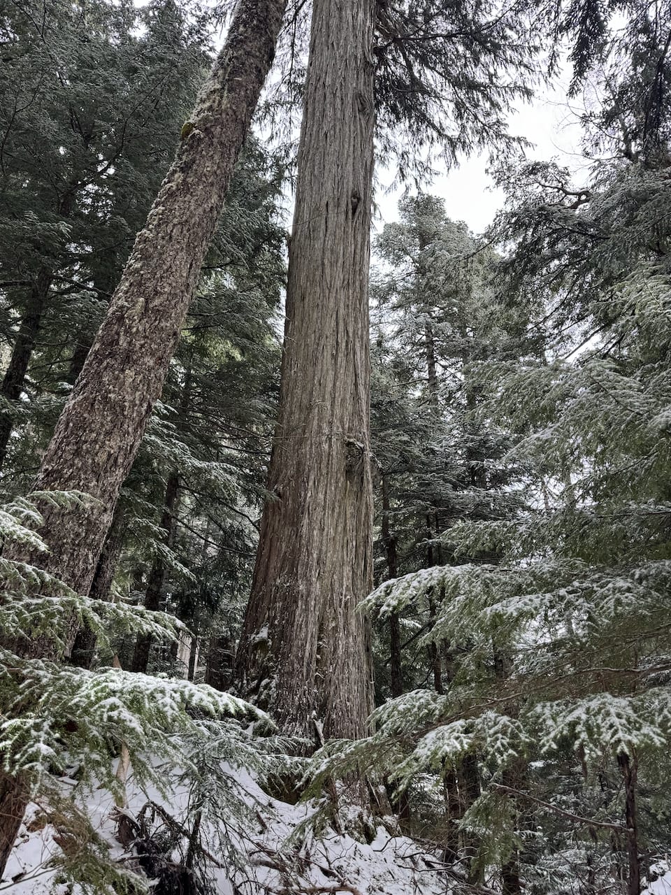
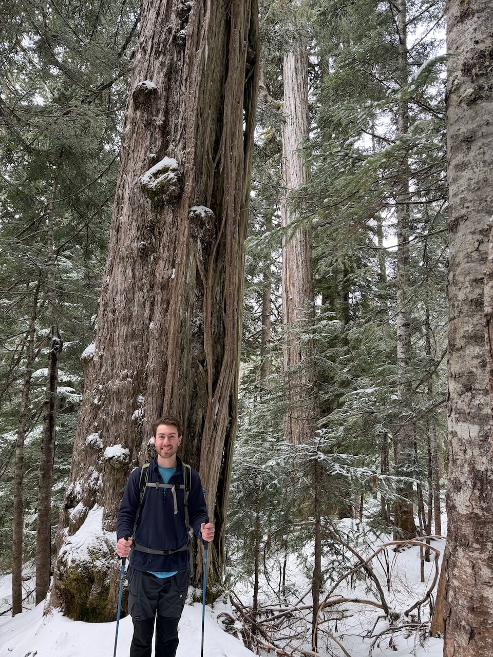
Spipiyus Peak (also called “Caren Peak”) is the highest point on the Sunshine Coast’s Caren Range. This range is home to some truly ancient forests, possibly among the oldest in the world. They are shaped by a microclimate where fog and rain are relentless and wildfires have never taken hold, creating a haven for biodiversity. A 1993 study found a 1250-year-old hemlock log and a 1824-year-old yellow cedar stump, both of which set age records (Source). More information can be found on the BC Tree Hunter’s blog.
Most of this forest was logged; only ten percent of it remains, protected as Spipiyus Provincial Park after a 1998 campaign. In the Shíshálh (Sechelt) laguage, “Spipiyus” is the name for the marbled murrelet, an endangered seabird dependent on old-growth forest for habitat. The Caren Range is one of their last strongholds.
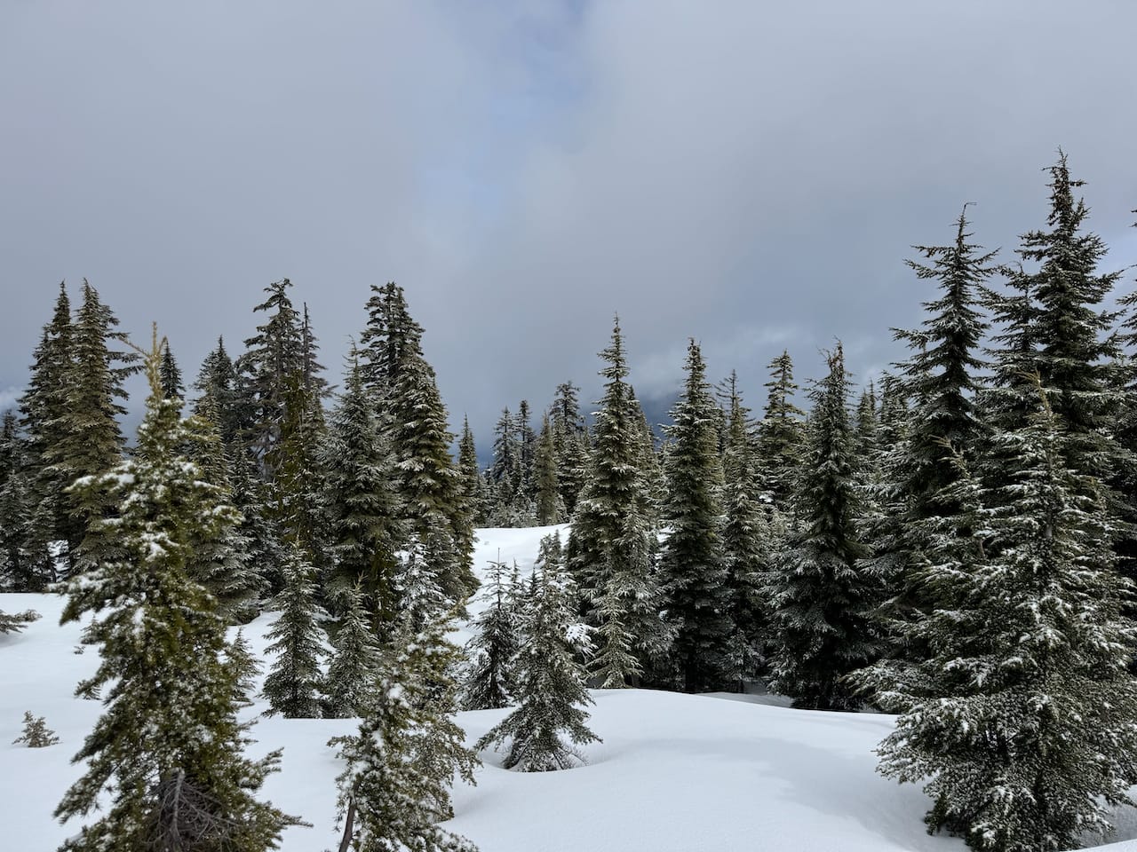
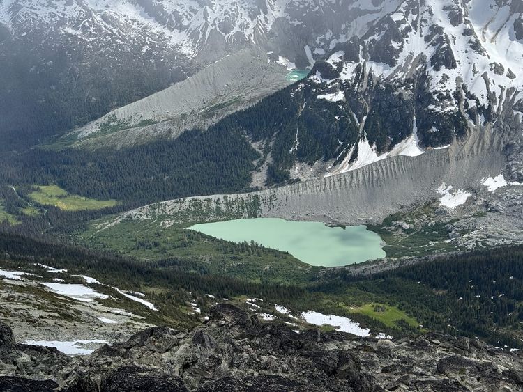
The surrounding ecology is much more interesting than Spipiyus Peak itself, which is a small hill covered in logging roads and second-growth forest, offering limited views.
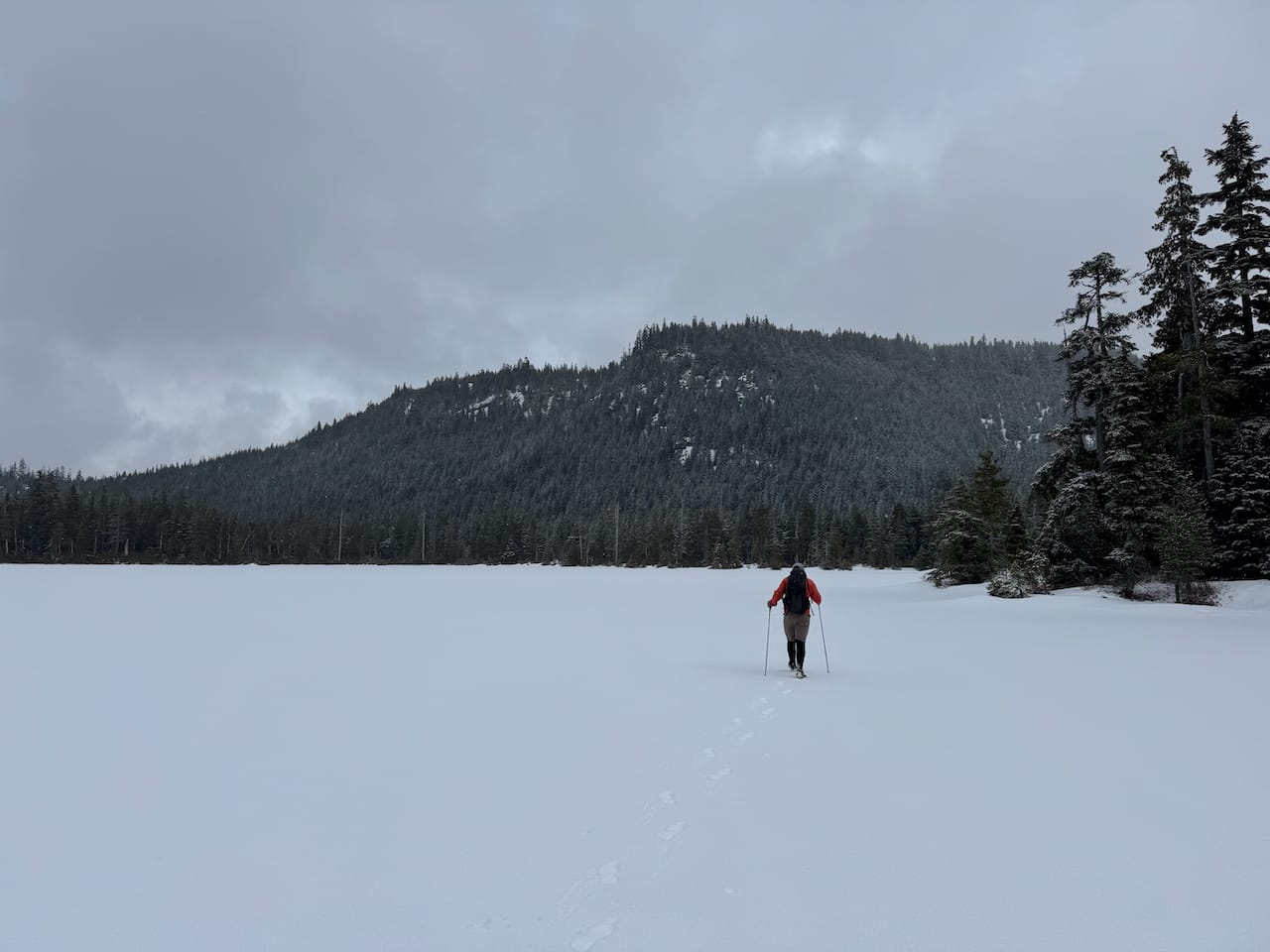
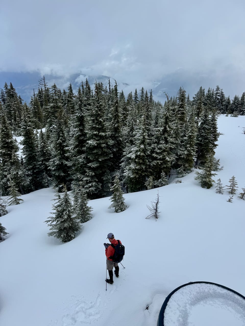
I did a day trip to Spipiyus Peak and the Caren Range with my dad to take advantage of a brief weather window. All the ads on the ferry were for places on Vancouver Island, so we were concerned at first, but the boat was indeed going to the Sunshine Coast. As we left the boat it started raining, and the rain soon became snow. We almost bailed but decided to continue.
Spipiyus Peak is accessed from the Halfmoon-Carlson FSR. From the highway, there are two entrances; we took the Trout Lake Road. The Halfmoon-Carlson FSR was in good shape at first, then deteriorated as we went on, with lots of water bars. Still, a high clearance or maybe medium clearance vehicle could make it most of the way. With this year’s abnormally low snowpack, it took us a while to hit snow, and even then there wasn't too much of it. The last kilometre before the park boundary was especially rough, so we parked about half a kilometre short of it.
We took a detour to investigate one of the most ancient remnants of the old-growth forest. This was a highlight of the day and very much worth the trip. To protect the forests and preserve a sense of adventure, I won’t say exactly where it is…
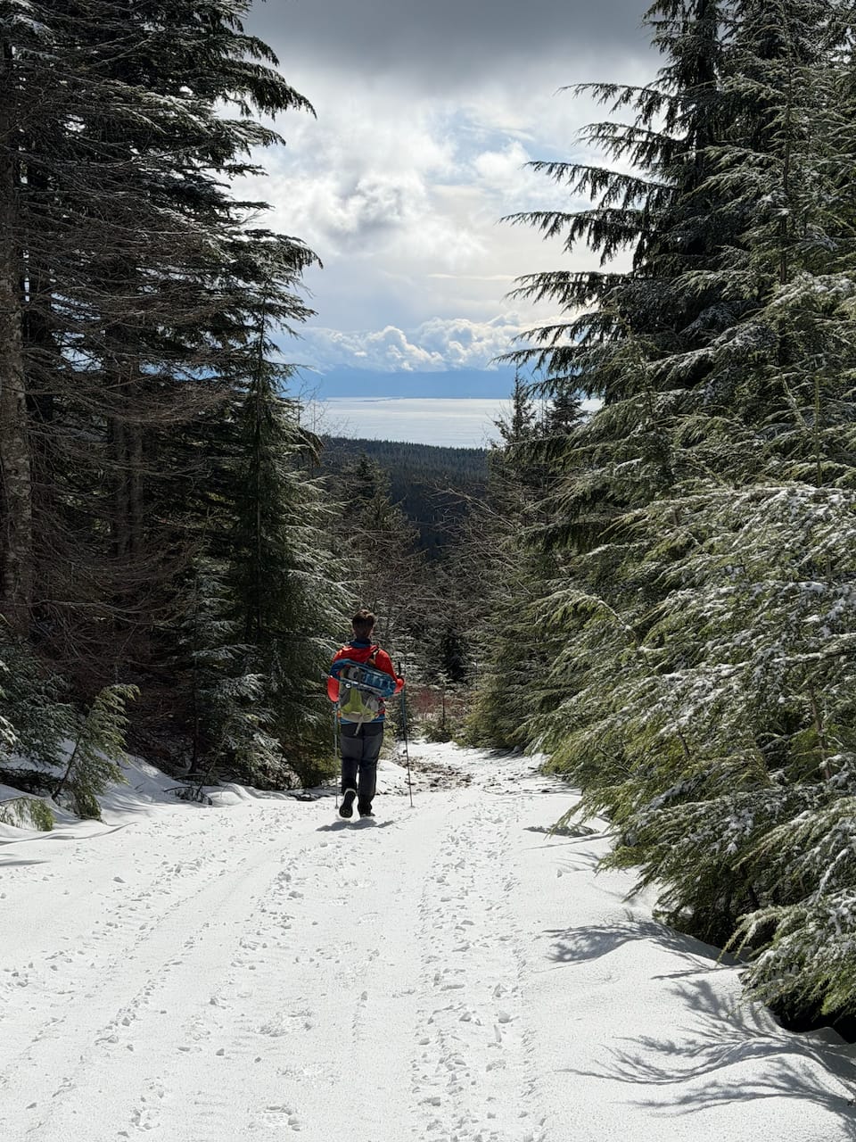
We made our way back to the Halfmoon-Carlson FSR. At 1100m a spur road branches off to the east. We followed this road and made our way up the ridge of Spipiyus Peak. Most of this was on an old FSR but the last couple hundred metres involved bushwhacking. There is a false summit. The true summit is marked with a tower.
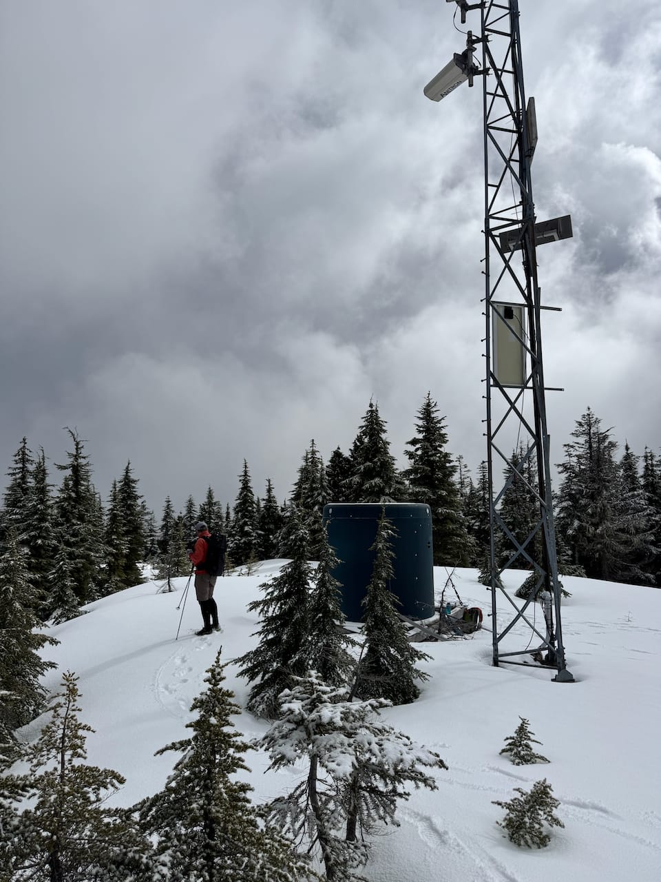
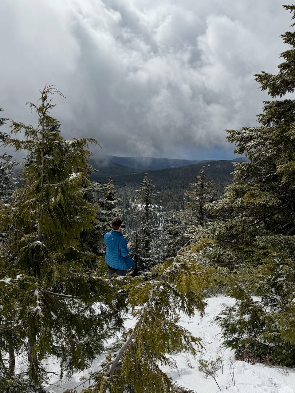
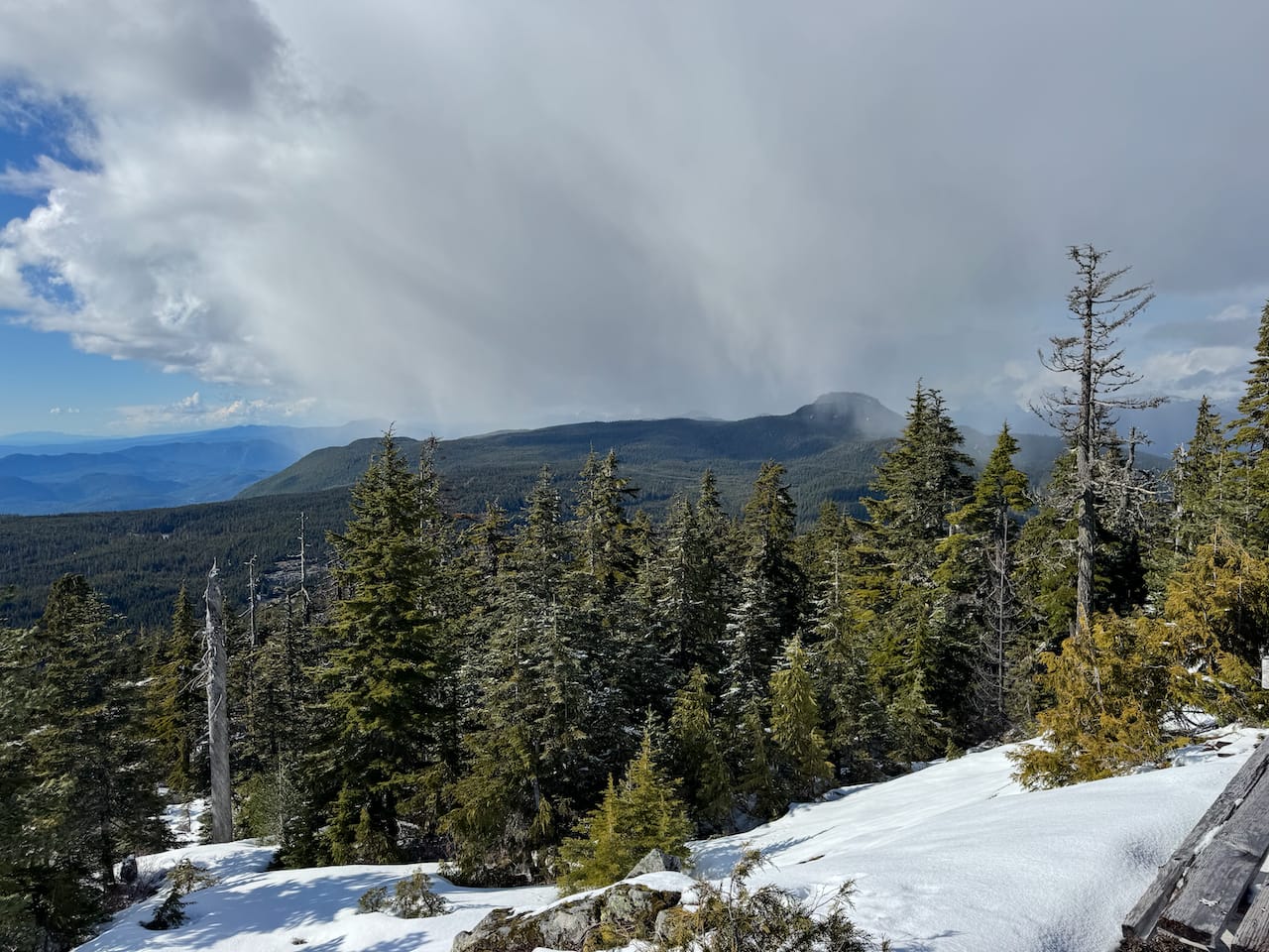
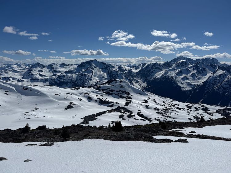
It was snowing quite heavily when we reached the peak, but things quickly cleared up. There were limited views to the west and east. Allegedly, the tower can be climbed to get some more views above the trees.
We returned to the car and headed to our next destination, Buck Mountain.
Member discussion