Mount Elphinstone

Date: April 18, 2026
Distance: 20km (from Langdale ferry terminal); 12.5km (from Sprockids Bike Park)
Elevation gain: 1283m (from Langdale ferry terminal); 1055m (from Sprockids Bike Park)
Mt. Elphinstone rises above Gibsons and the Langdale ferry terminal. It's a pleasant hike with good, although partly tree-covered, views from the summit. The trail is only about 4km from the Langdale ferry terminal, so you don't need to take a car on the ferry, making this the most accessible (and cheapest) Sunshine Coast hike and a great introduction to the coast. The trail is accessible year-round, although snowshoes are needed in winter, and there is one steep section near the end that might give trouble in icy conditions.
I tried to hike Elphinstone in December 2023, but I had evening plans on the other side of the ferry (rookie mistake) and ran out of time. I returned in April 2026.
The trailhead is the Sprockids bike park, accessed from Highway 101. From the ferry, you could walk along the road for 3km, but a network of trails provides a nicer and safer journey. From the ferry terminal, I walked to the end of Wharf Road, then headed west on a well-defined trail. There is a private property sign. According to a local I met, both sides of the trail are off limits but the trail itself is publicly accessible. Use at your own risk.
The trail heads west, south, then west across Langdale Creek. After a while it is marked with pink blazes. A climb up the west side of the Langdale Creek valley leads to the main Elphinstone trail, marked with yellow blazes.
There is a maze of bike trails here but the yellow blazes reliably led the way.
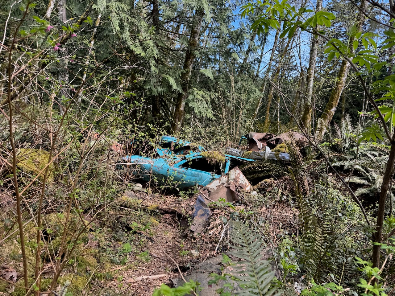
At one point the trail passes two old abandoned cars.
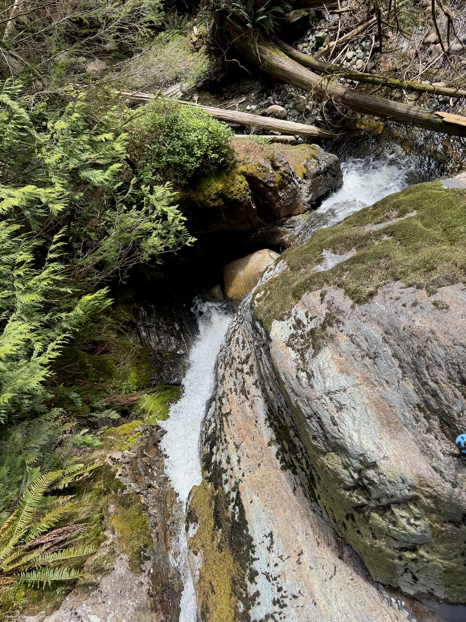
You could take a detour to Langdale Falls and rejoin the main trail later. I had lunch there and it was worth the short detour.
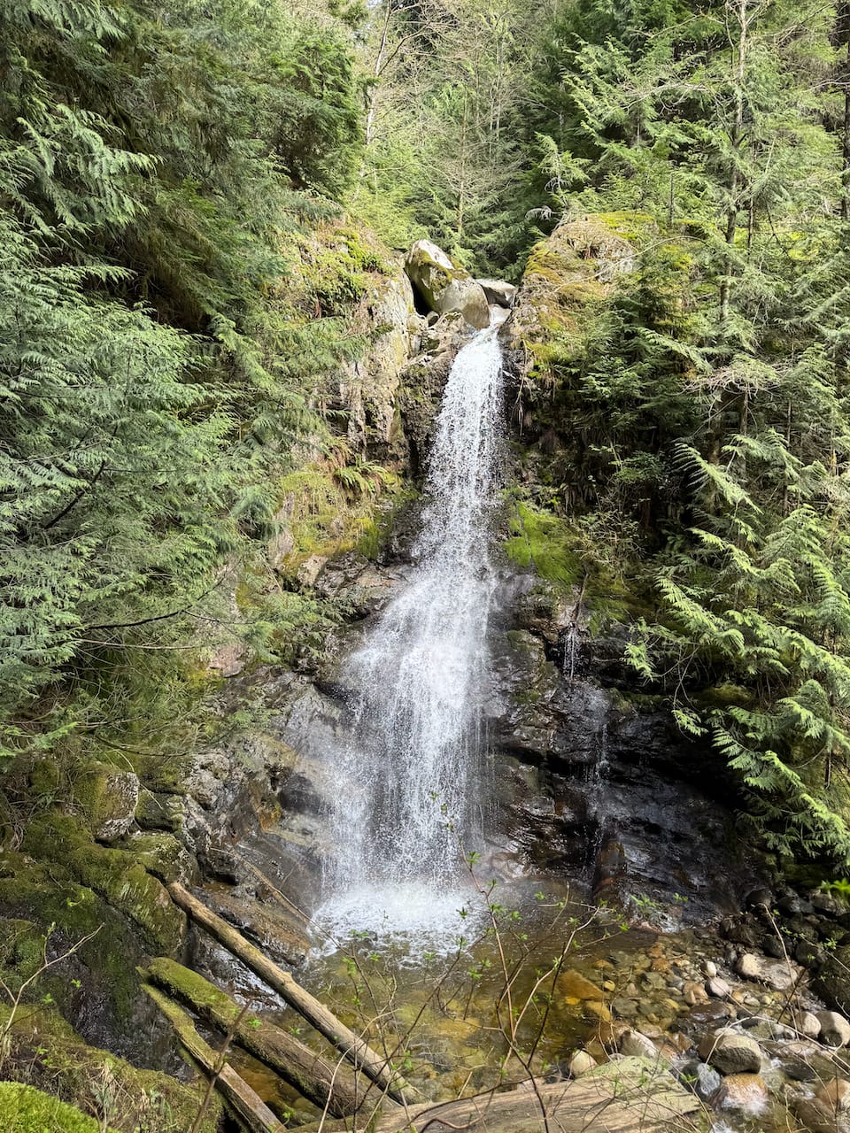
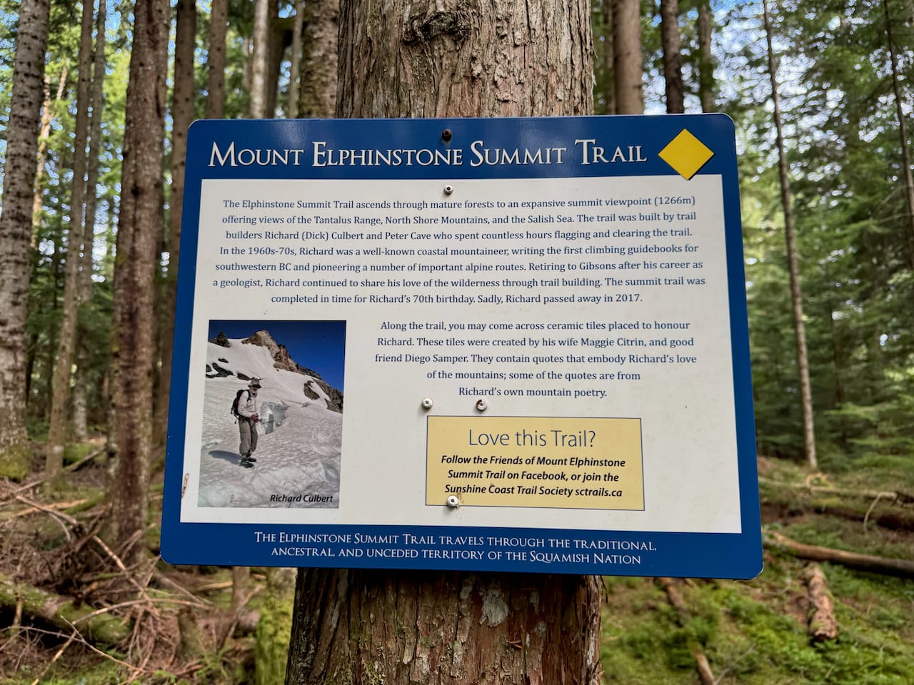
Soon after Langdale Falls, there is a memorial plaque honouring legendary mountaineer Dick Culbert, who built this trail.
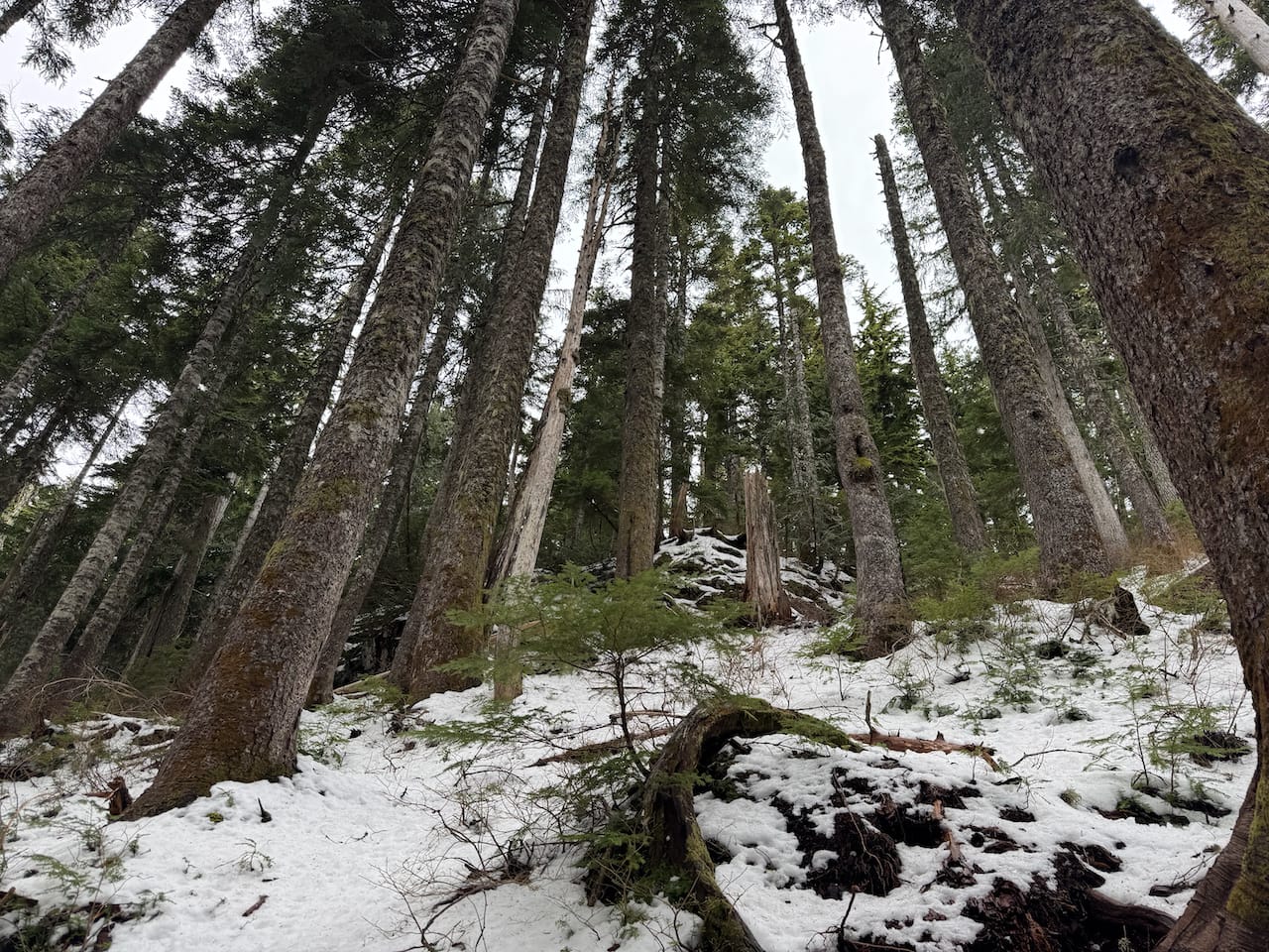
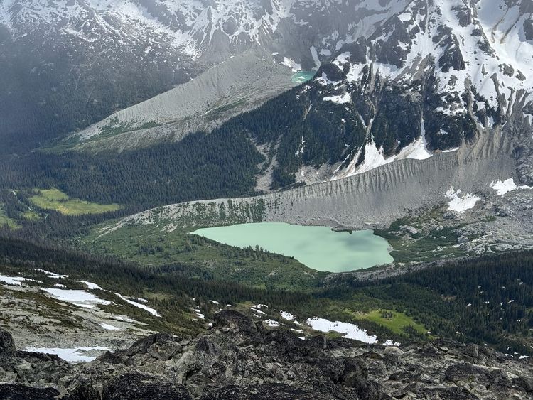
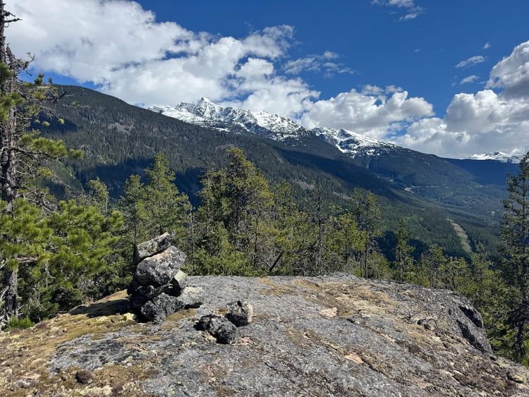
The trail gains most of its elevation past here as it follows Langdale Creek. At first, you’re in second-growth forest criss-crossed by old FSRs and marked by the massive stumps of logged old-growth trees. The last 2km or so are through pleasant subalpine old-growth forest. Snow started around 1000m and the trail was quite slippery. At times there were views through the trees.
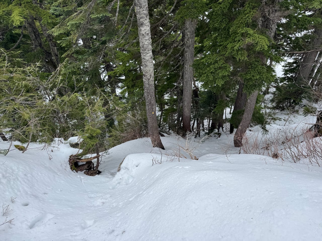
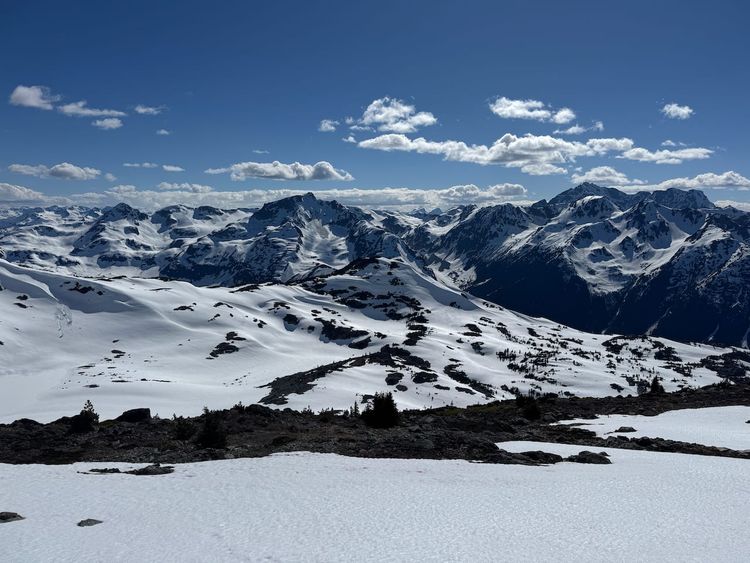
The last kilometre meanders along a subalpine plateau, with one steep section with a fixed rope of uncertain quality.
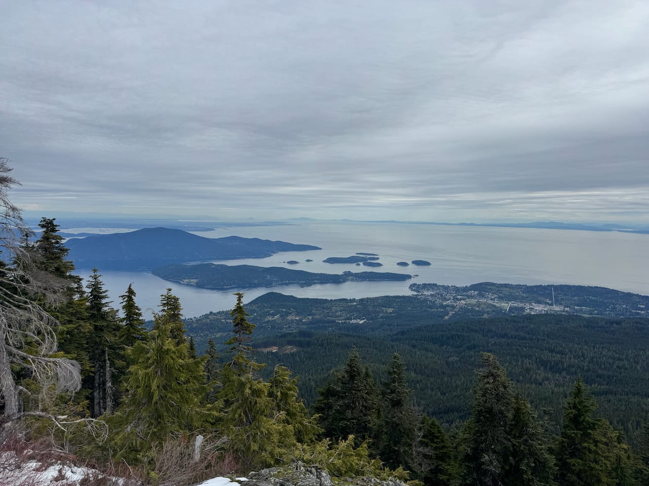
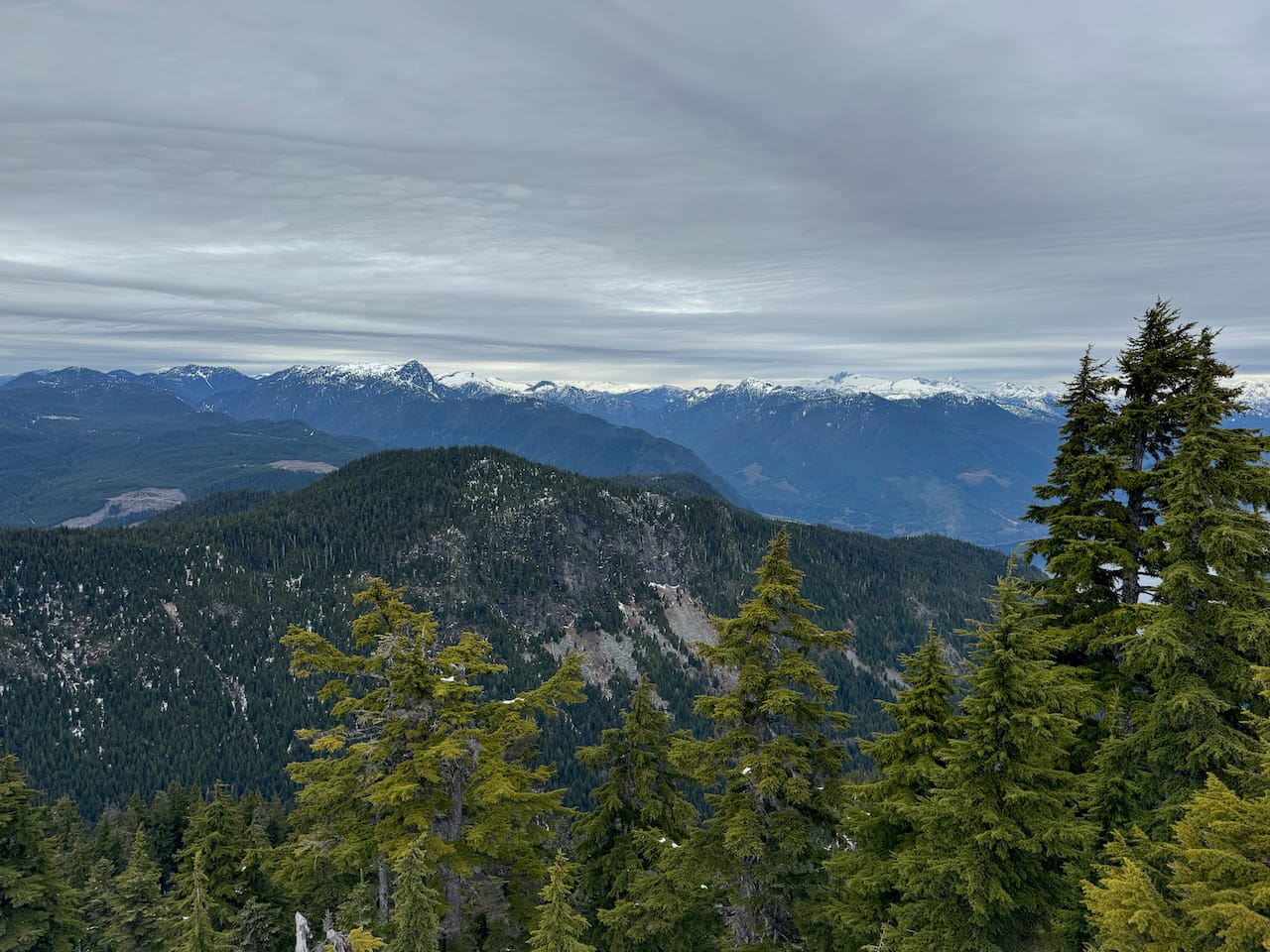
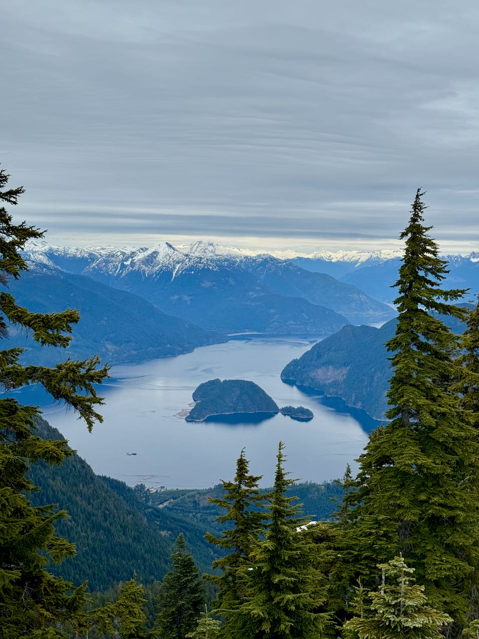
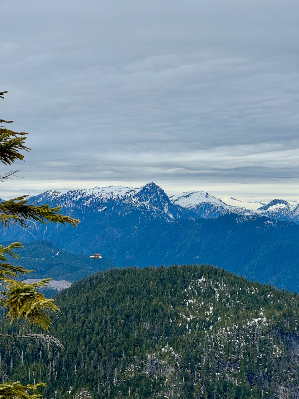
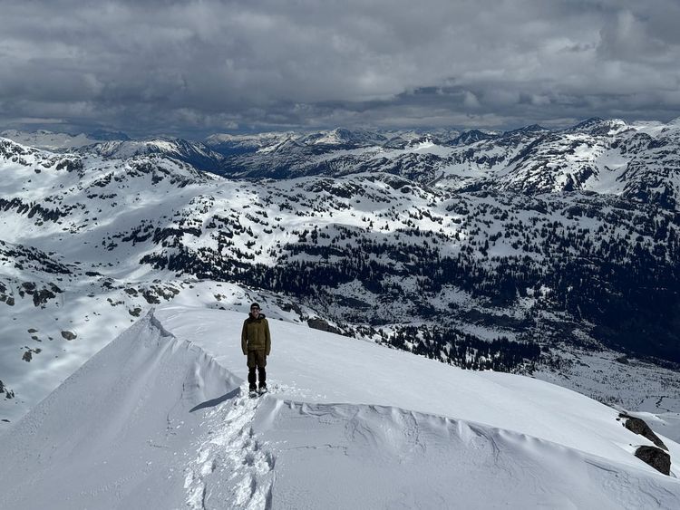
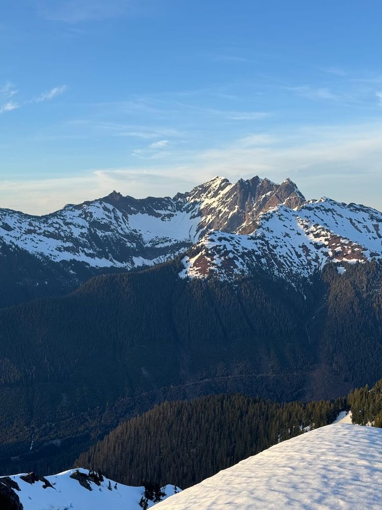
There is one viewpoint just before the summit, offering good views of Gibsons and Vancouver Island.
The summit has a radio tower and more views to the north. An eagle was circling around the summit.
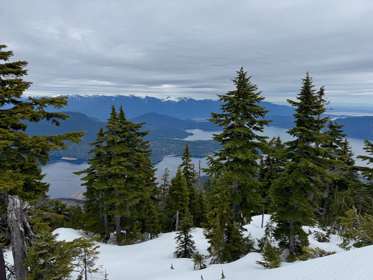
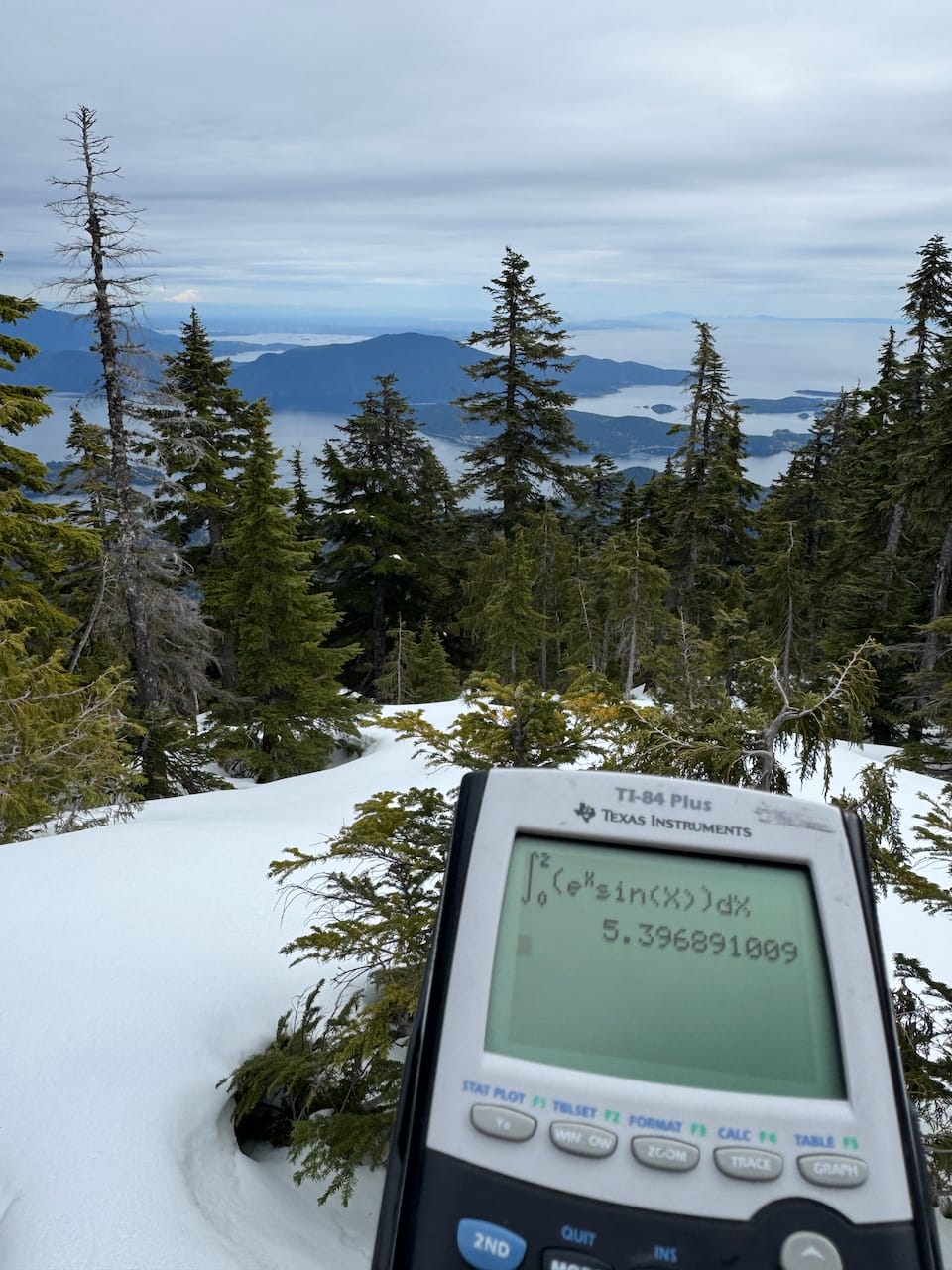
I walked around the summit plateau, catching more views, then retraced my steps. I realized I’d make an earlier ferry if I hustled so most of the descent was a jog. I caught the earlier ferry on time and headed home.
This hike was a nice break from finals, with peaceful forests and a good reward at the summit. I would recommend it.
Member discussion