Ts̓ekwts̓úkw

Date: May 17, 2026
Distance: 3.3km
Elevation gain: 246m
Ts̓ekwts̓úkw (meaning “rough” in the language of the Lil’wat people [Source]) is a small hill beside the Sea-to-Sky Highway north of Whistler. It’s crisscrossed by many bike trails including the Sea to Sky trail. There are a few viewpoints at the summit with nice views towards the Wedge group and Mt. Currie, although the highway offers equally nice views. This summit is only really of interest to peakbaggers, but there are worse places to stretch your legs.
Steven, Rob, and I hiked here after an ascent of Sisqa S3 took much faster than expected. Most trip reports start from the northern access point but we took the southern access point, at a slightly sketchy parking lot with an abandoned trailer.
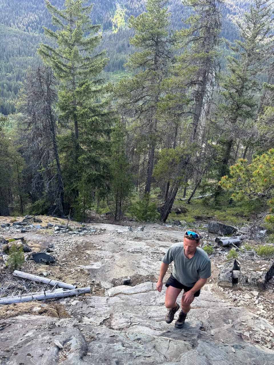
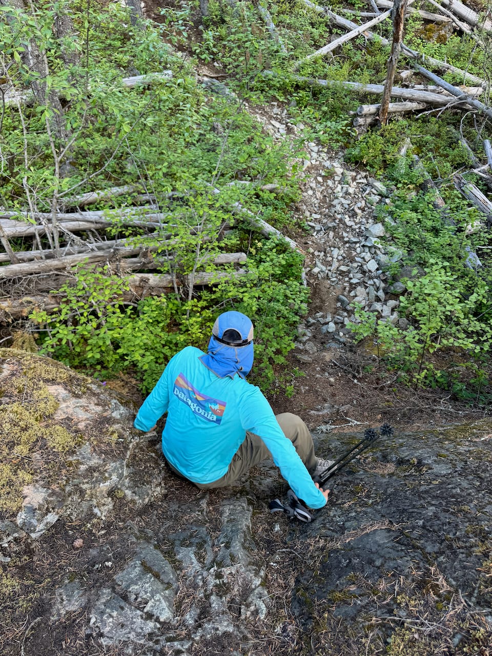
We followed a gravel road to connect with the Sea-to-Sky Trail, followed that for a while, then took a series of bike trails to the summit. To our surprise, there were a few sections of scrambling on slabs, all of which could be avoided by going off trail.
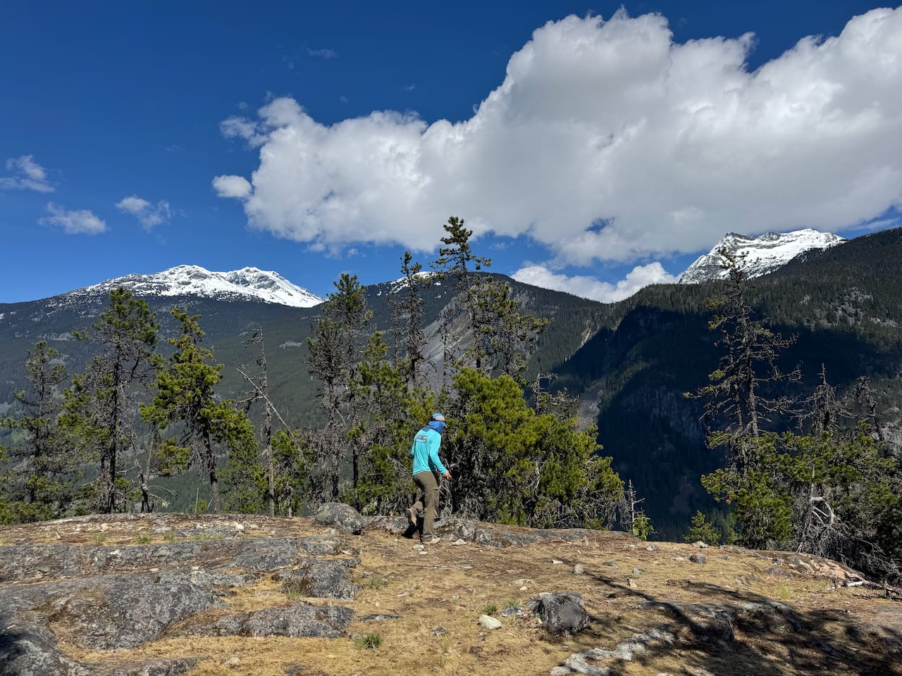
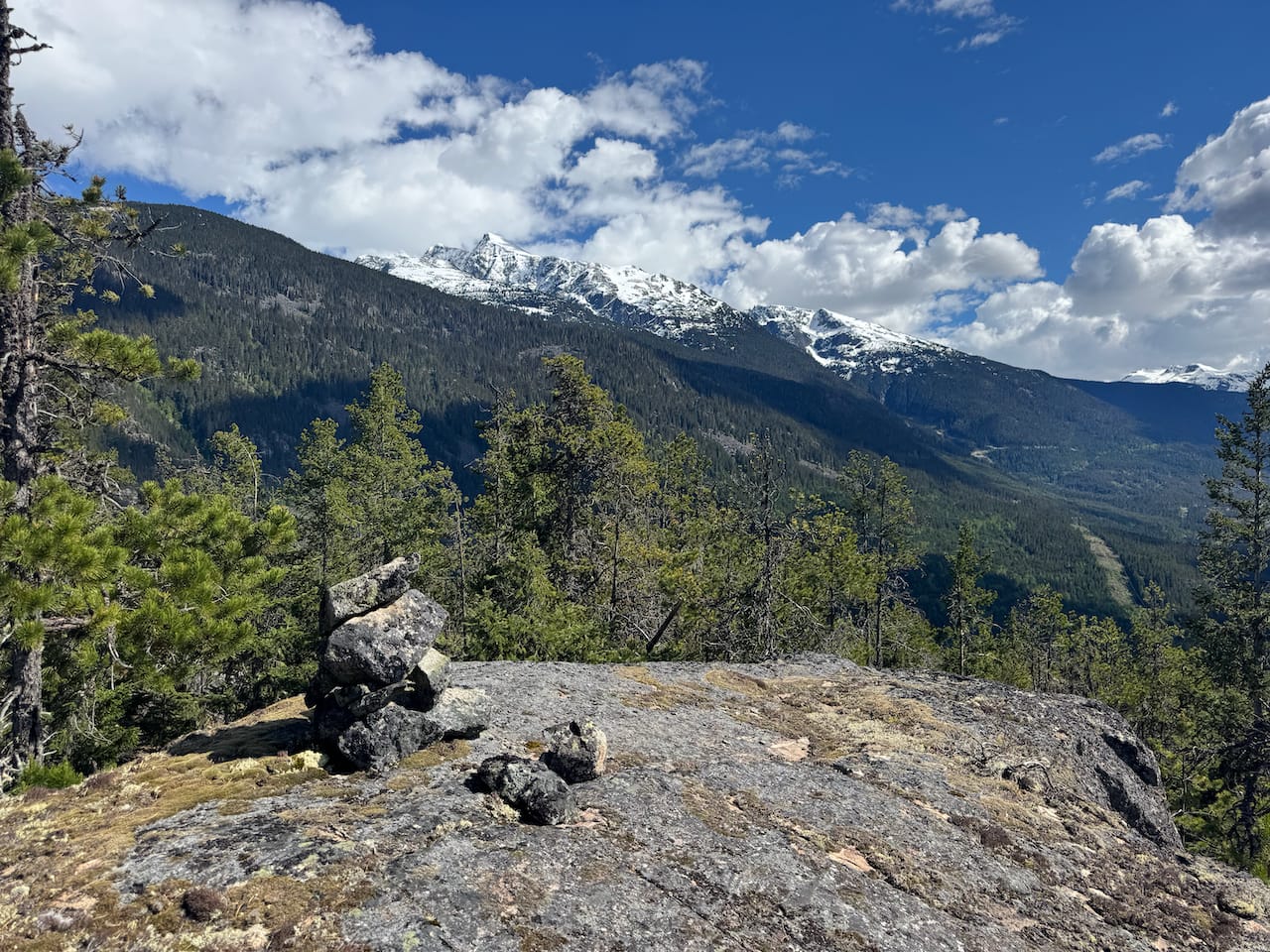
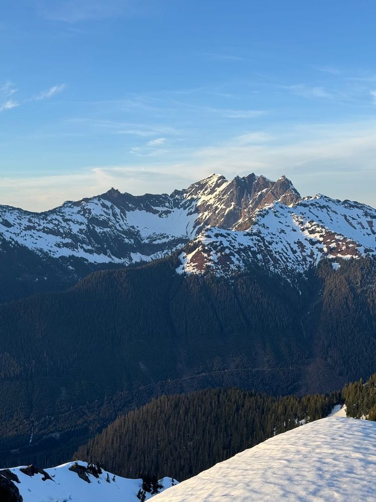
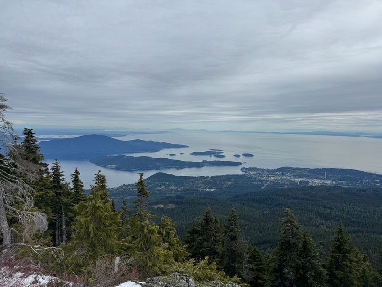
The summit is a wide plateau with many viewpoints at its edges. There's a cairn but it's nowhere near the highest point. The best views were on the eastern side of the plateau, facing between Weart and Currie.
There wasn’t too much to do up there so we returned the way we came.
Member discussion