Sugarloaf Mountain
Date: July 1-2, 2026
Distance: 16km
Elevation gain: 1200m
Sugarloaf Mountain is a rounded mountain on the south side of the Pemberton valley. It can be seen from the town of Pemberton. A well-maintained trail leads to the alpine, and the summit is a straightforward class 2 scramble. Drivers with a high-clearance 4wd vehicle can reach 1500m on a logging road, making this peak relatively accessible.
Justin and I hiked to Sugarloaf Mountain on Canada Day. The original plan was to set up a base camp on the ridge and explore Sugarloaf and nearby peaks, namely Yaycelem and Mt. Ross, but the weather didn't allow for the side quests.
We drove to Pemberton, headed northwest through Pemberton Meadows, and began the long drive up Miller Bench FSR. There were several steep sections, a few rocky sections, and steep drops beside the road, but Justin’s Outback made short work of the drive. I was happy not to be driving my car, though.
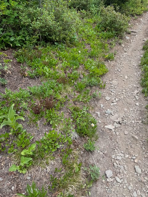
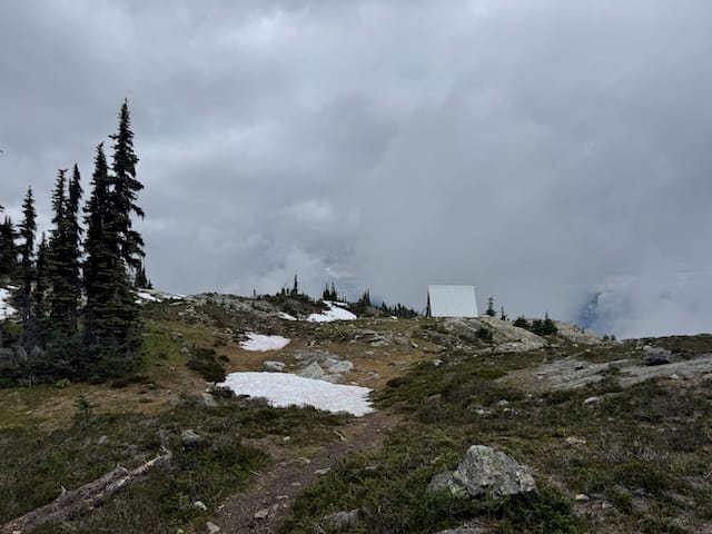
At the trailhead, the mosquitoes were annoying, so we left quickly. The trail was much better than I expected and in no time we were walking through beautiful subalpine meadows.
There are two cabins, both of which are run down and not especially appealing. The second cabin is next to a bench with dramatic views into the Pemberton valley. This would be a good area to camp in.
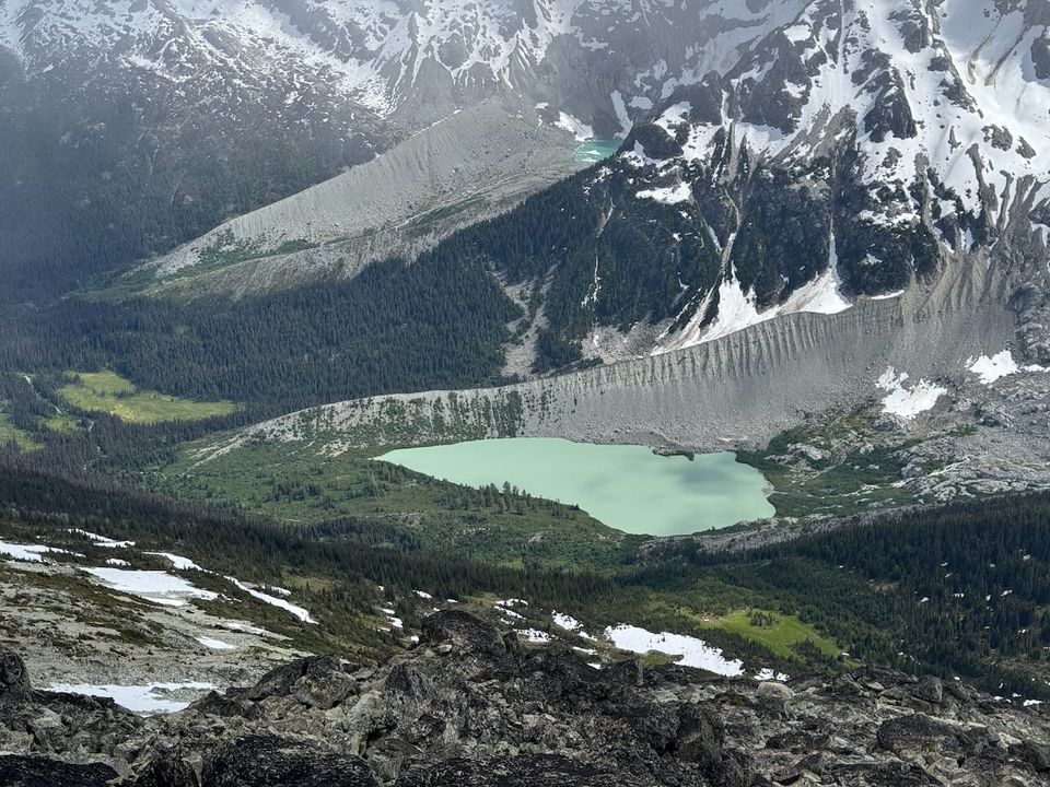
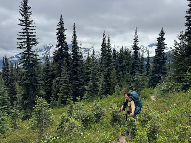
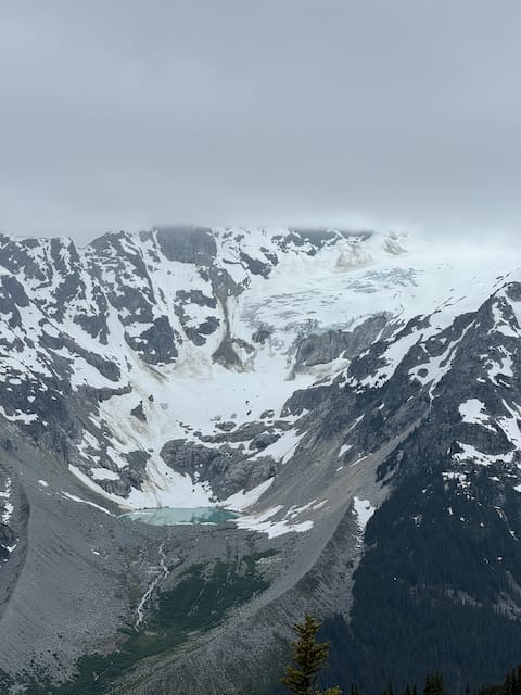
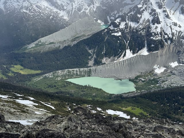
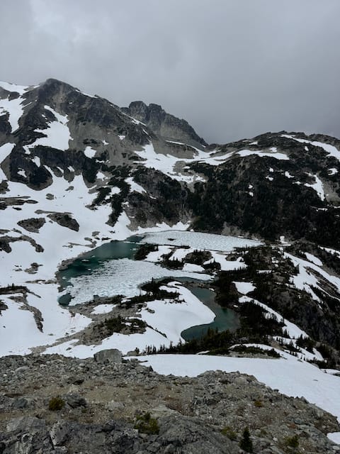
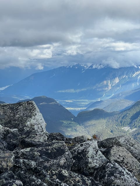
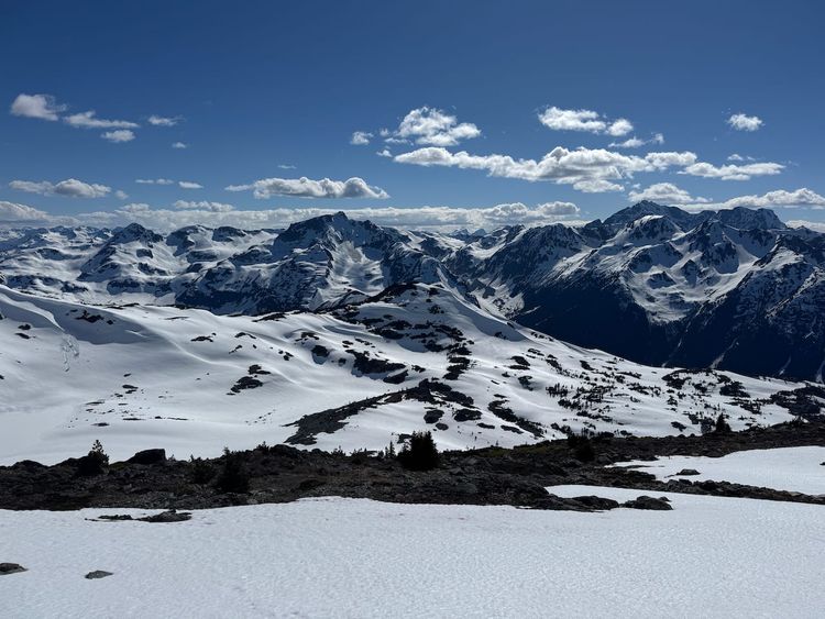
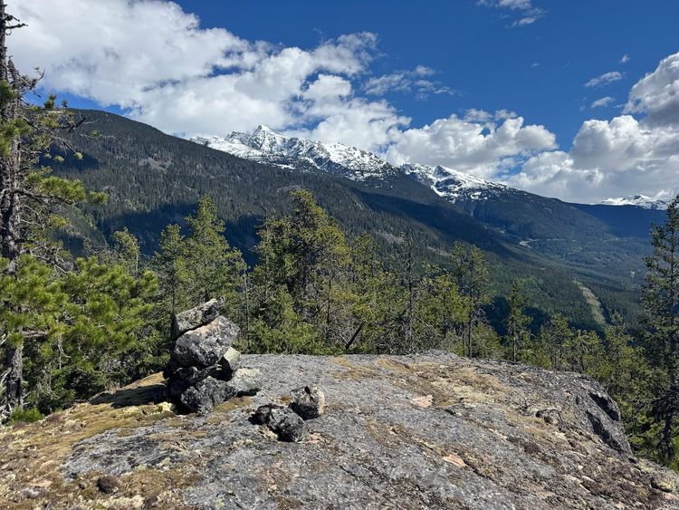
Above the second cabin, the trees thin out, revealing epic views of Ipsoot and Rhododendron Mountains across the valley. The trail became much less distinct from here, but it was still easy enough to follow as it continued along the crest of the ridge. As we continued along the ridge, the views improved, revealing a pair of teal-coloured glacial lakes below fading glaciers and massive walls. It reminded me of the country of Georgia.
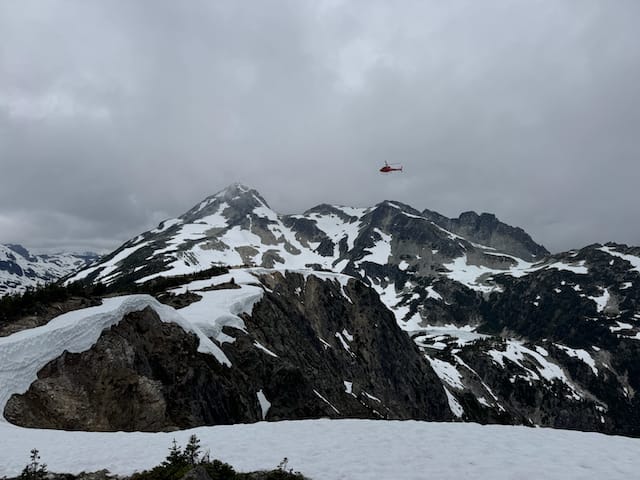
After a while, the peaks of Yaycelem (right) and Sugarloaf Mountain (left) could be seen. A helicopter flew over the ridge at one point, heading directly towards Ipsoot. I hope everyone was all right…
There is a pretty lake in a bowl at 1850m, just over 150m below the ridge. We’d considered camping here but decided it wasn’t worth the descent. An ice axe would be needed to get there at this time of year, and the lake was mostly frozen anyway.
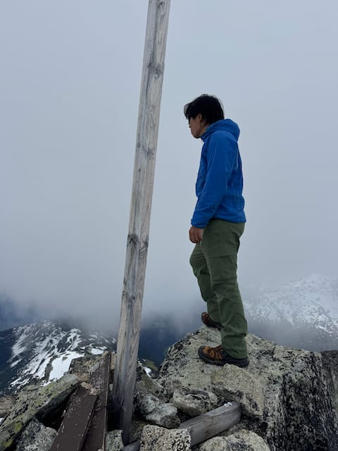
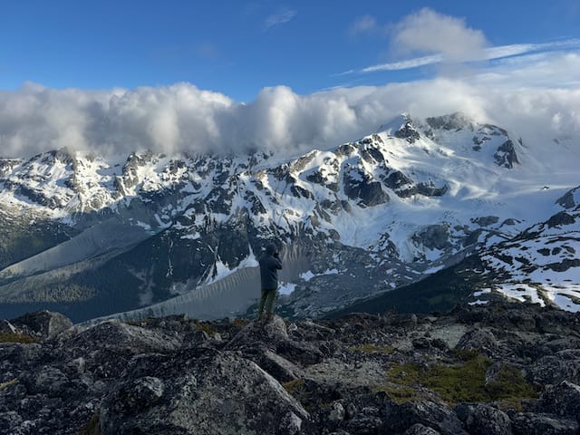
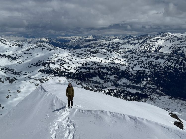
The ridge got steeper as we reached the base of a boulder field. From here on, you can essentially choose your own route to the summit. The boulder field offers class 2 scrambling, or you could stay closer to the ridge for some class 3 lines. Eventually the ridge flattened out and we were on the summit, marked with a boulder and wooden pole.
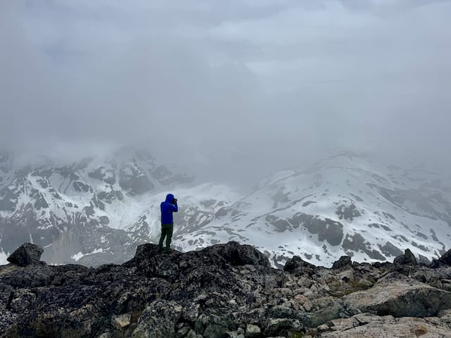
It was still quite cloudy, so we decided to wait around to see if things cleared. Instead, it started snowing, so we abandoned our plan of continuing to Mt. Ross. We rested on the summit for a few hours, then made our way down the ridge.
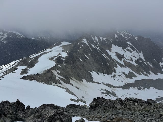
We’d also considered climbing Yaycelem, a sub-peak to the east, but this required a traverse along a steep snow slope. It started snowing heavily again so we didn't do that.
We instead made our way down to a flat, sheltered spot below the boulder field to make dinner and watch the sunset, taking lots of photos with Justin’s camera.
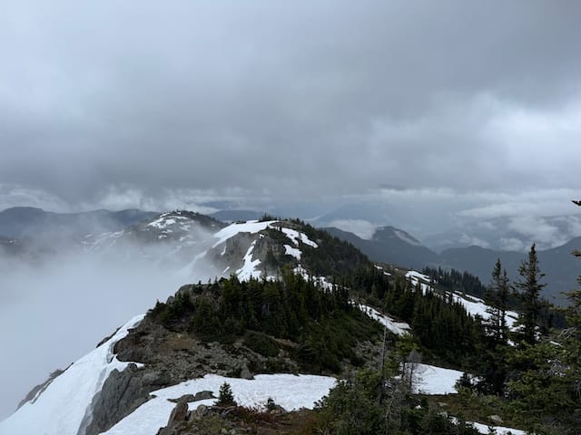
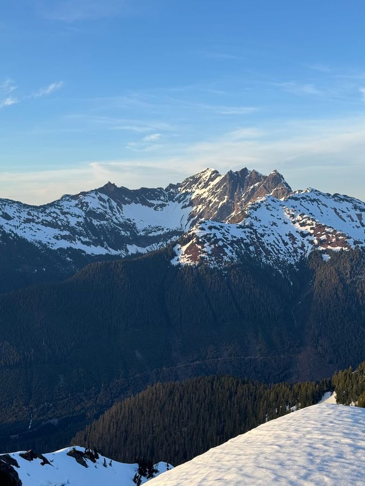
The clouds got a bit clearer but never fully cleared. Interestingly, the area around Sugarloaf was much sunnier than everywhere else nearby. I wonder if the higher peaks of Ipsoot and Rhododendron create a rain-shadow effect that blocks clouds and precipitation from reaching Sugarloaf.
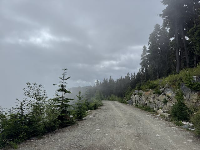
We started heading back to find a campsite. We camped on the ridge and hiked out the next day through increasing rain.
This was a very Canadian way to spend Canada Day!
Member discussion