Varley Traverse
Date: August 3-5, 2026
Distance: 41.2 km
Elevation gain: 3000 m
Mount Varley is a remote peak north of Port Mellon on the Sunshine Coast. From Varley, a ridge leads north further into the backcountry. The ridge contains the “McNab Lions”, similar to the original Lions but slightly smaller, and the extremely obscure “Alacia Peak”.
I had previously summited Mt. Varley and the West McNab Lion as part of a traverse from Squamish to Port Mellon in 2024, but the weather was poor and that whole section was done in a whiteout. I wanted to return, see what the view actually looks like, and hopefully explore further.
Some faffing took place and I caught a later ferry than anticipated. I found myself at Port Mellon just after noon. There were no issues at the checkpoint and I was allowed through. I drove a few kilometres up the Rainy River FSR and parked just before the start of a branch road, which was too steep for my car.
I walked up this road for a few kilometres, then took an overgrown but still very passable road towards Mt. Varley.
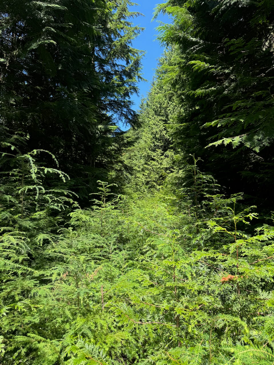
The standard route to Varley is an annoying slog through a very dense cutblock on Varley’s south face, so I wanted to take another route. I left the FSR at 750m and took the path of least resistance to Varley’s southwestern ridge.
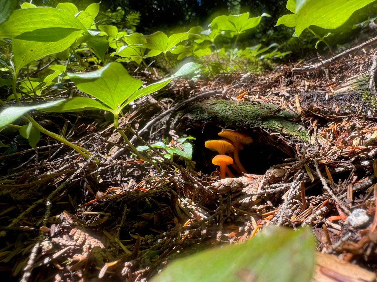
Once on the ridge, it was mostly easy going, with a few detours around cliffs. I’m surprised that this isn't the standard route. After a long time I made it to the summit. It turns out that this mountain has excellent views.
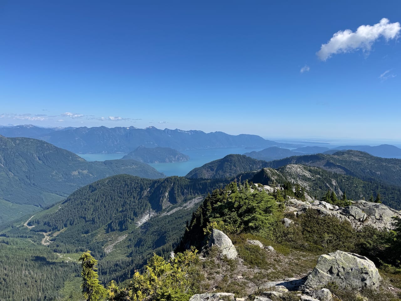
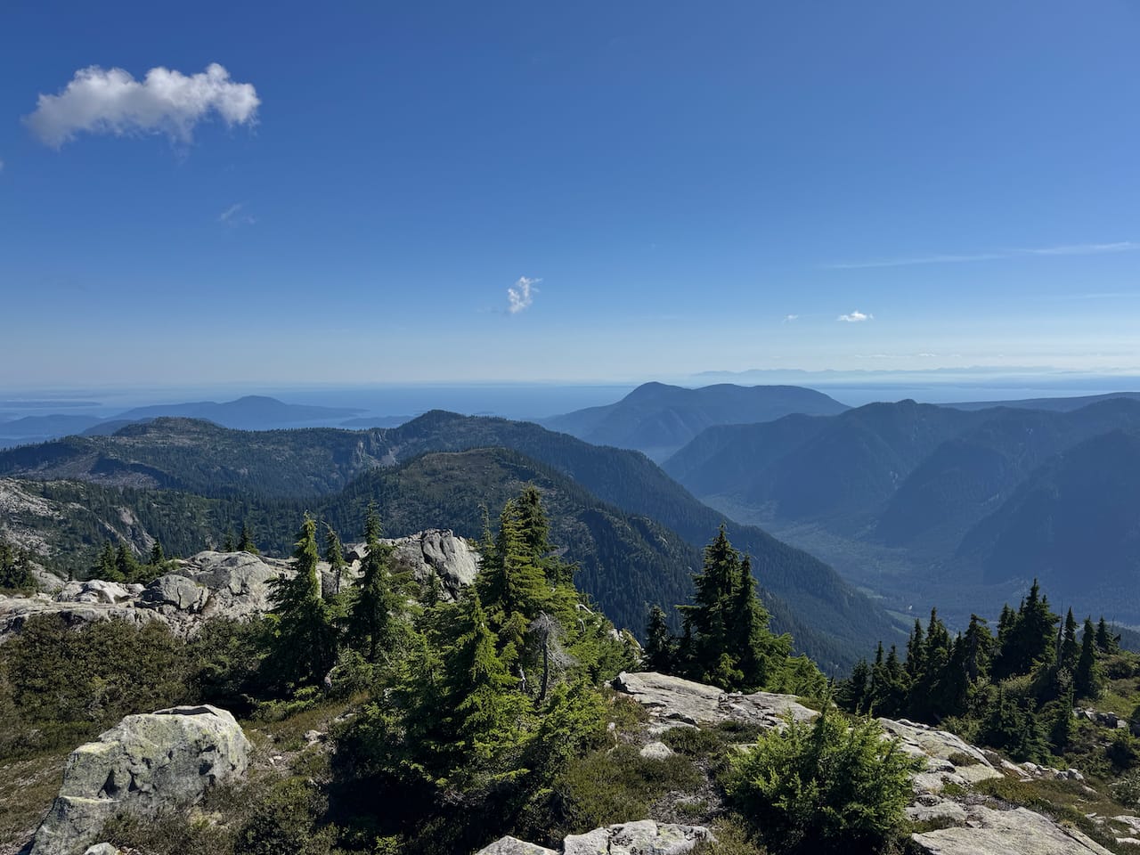
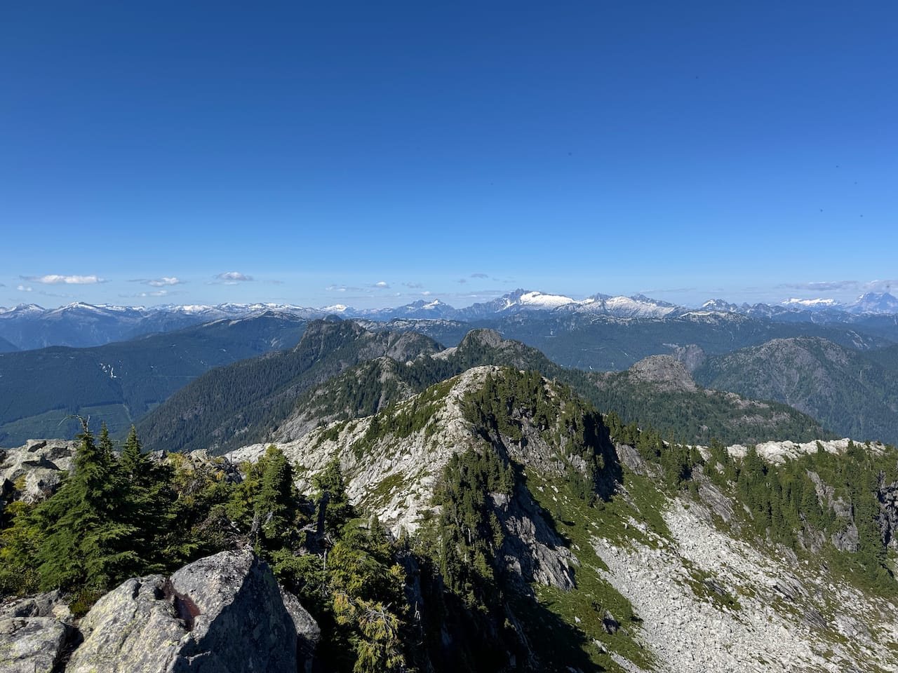
Time was marching on and I had to continue. I traversed from the true summit to Varley’s false summit. This time, I could see how exposed some sections were…
I'd forgotten how annoying this route was. It’s about 25% easy walking on beautiful granite slabs and 75% steep scrambling through blueberry bushes with plenty of veggie belaying and dense krummholtz trees slowing my progress. There was a beautiful lake between Varley and the next bump but it was too far below the ridge for a detour.
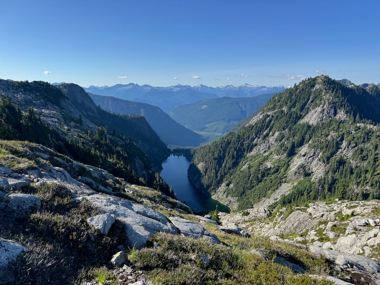
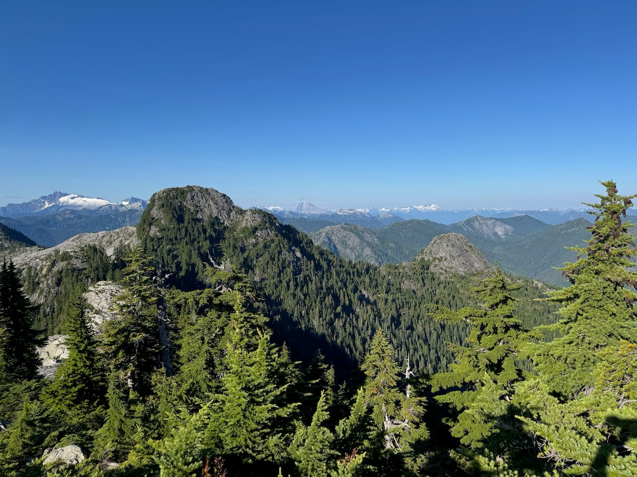
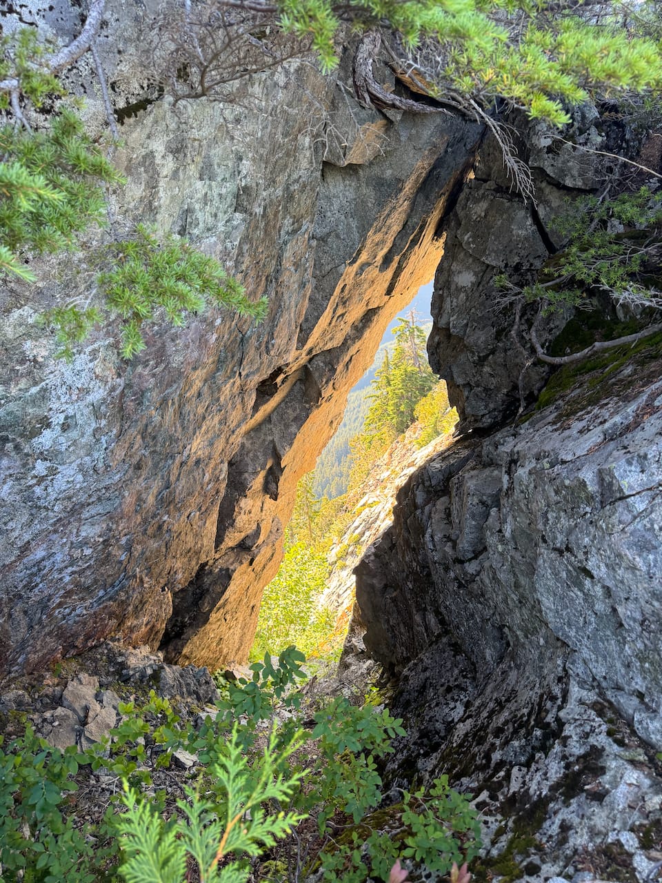
Some time later, I found myself at the base of the West McNab Lion, staring down the ridge at the massive wall that is the north face of the East Lion. I’d hoped to climb the East McNab Lion, so I traversed below the West Lion’s southern face. Unfortunately I reached a cliff, couldn't continue, and had to backtrack due to time constraints.
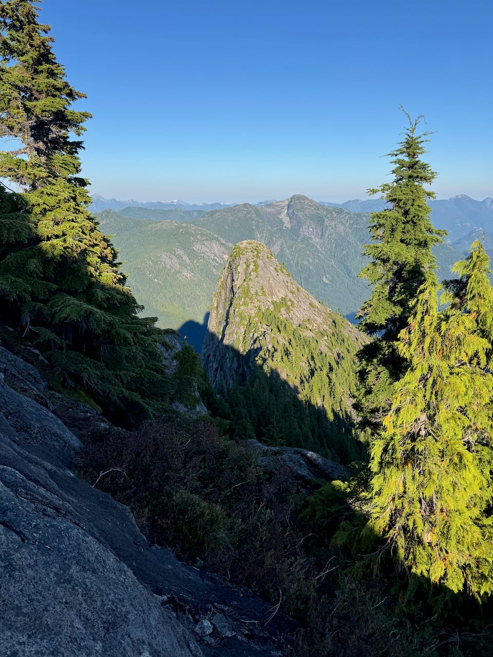
As a consolation prize I tagged the West Lion again. Class 3, NTD. The broken radio tower? is still there.
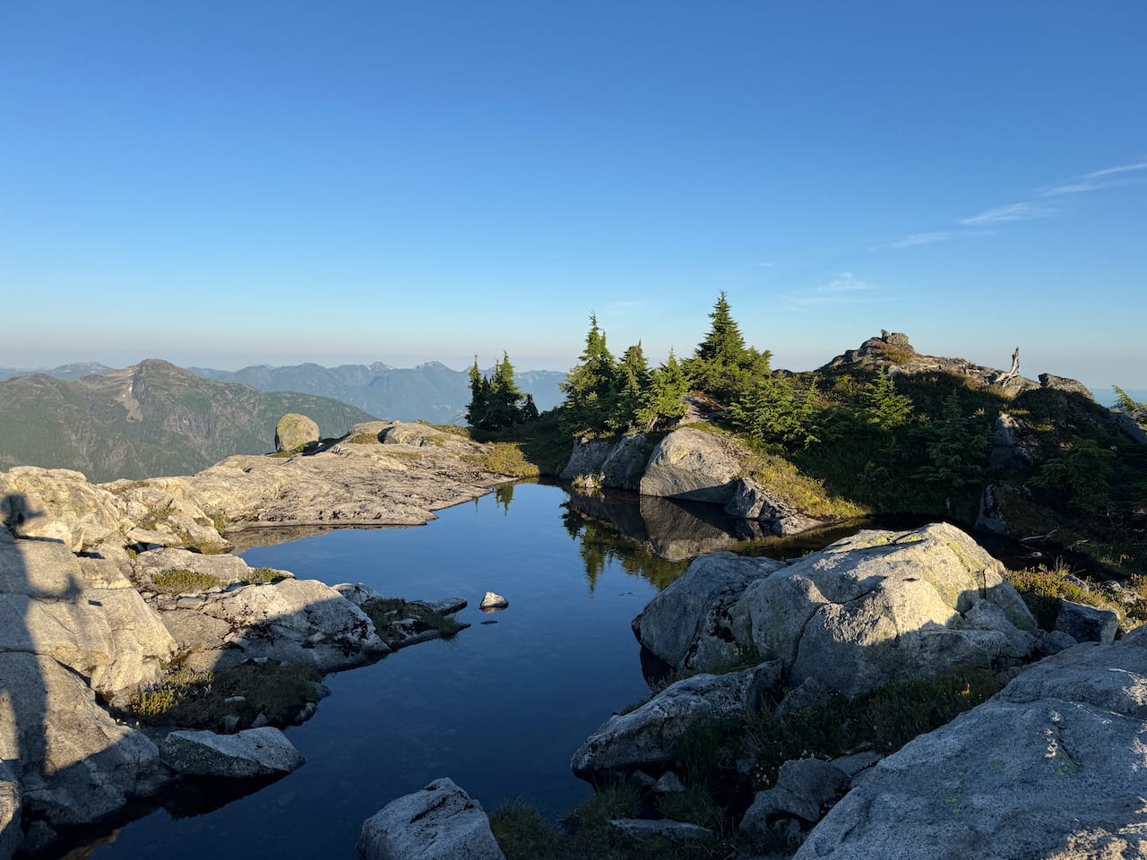
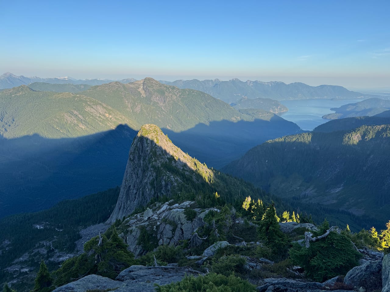
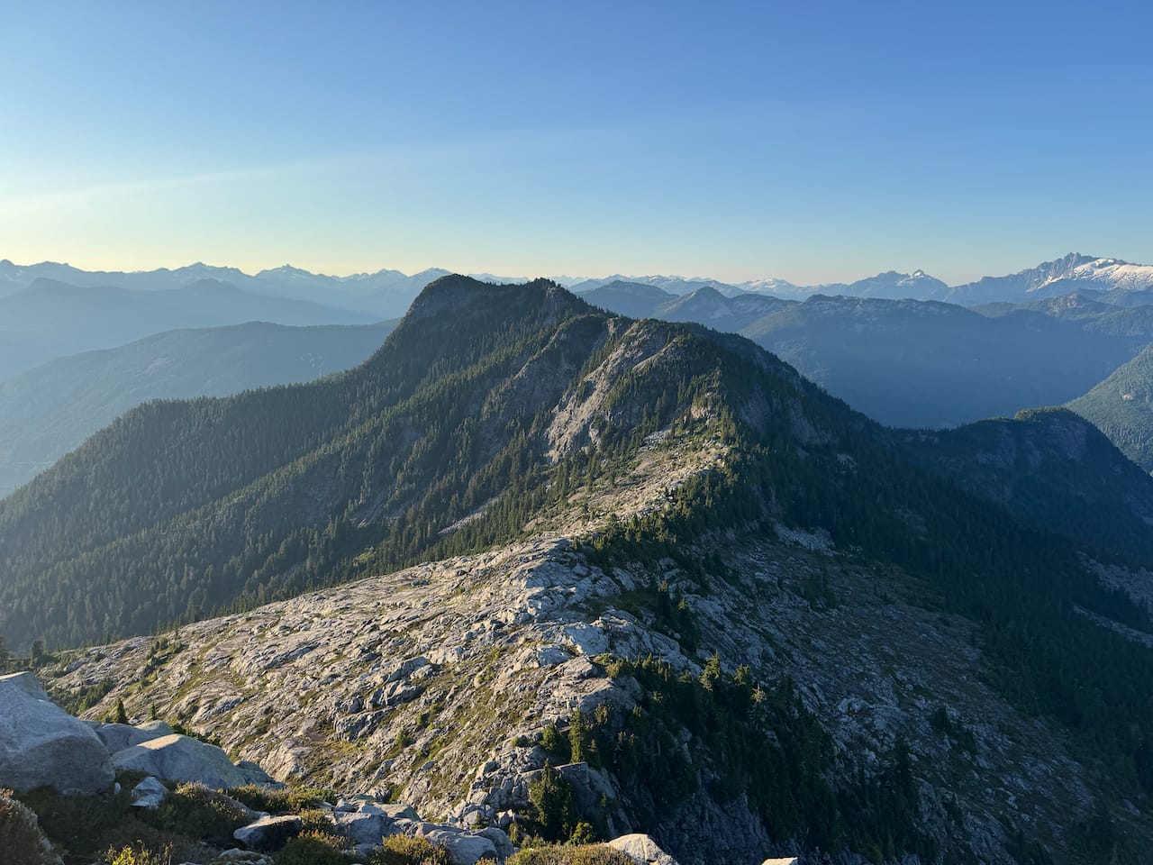
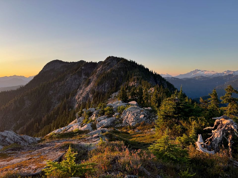
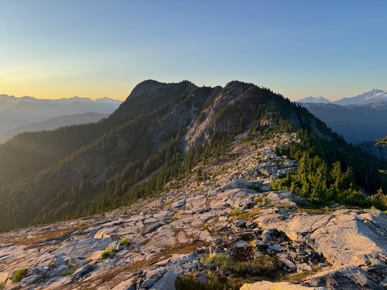
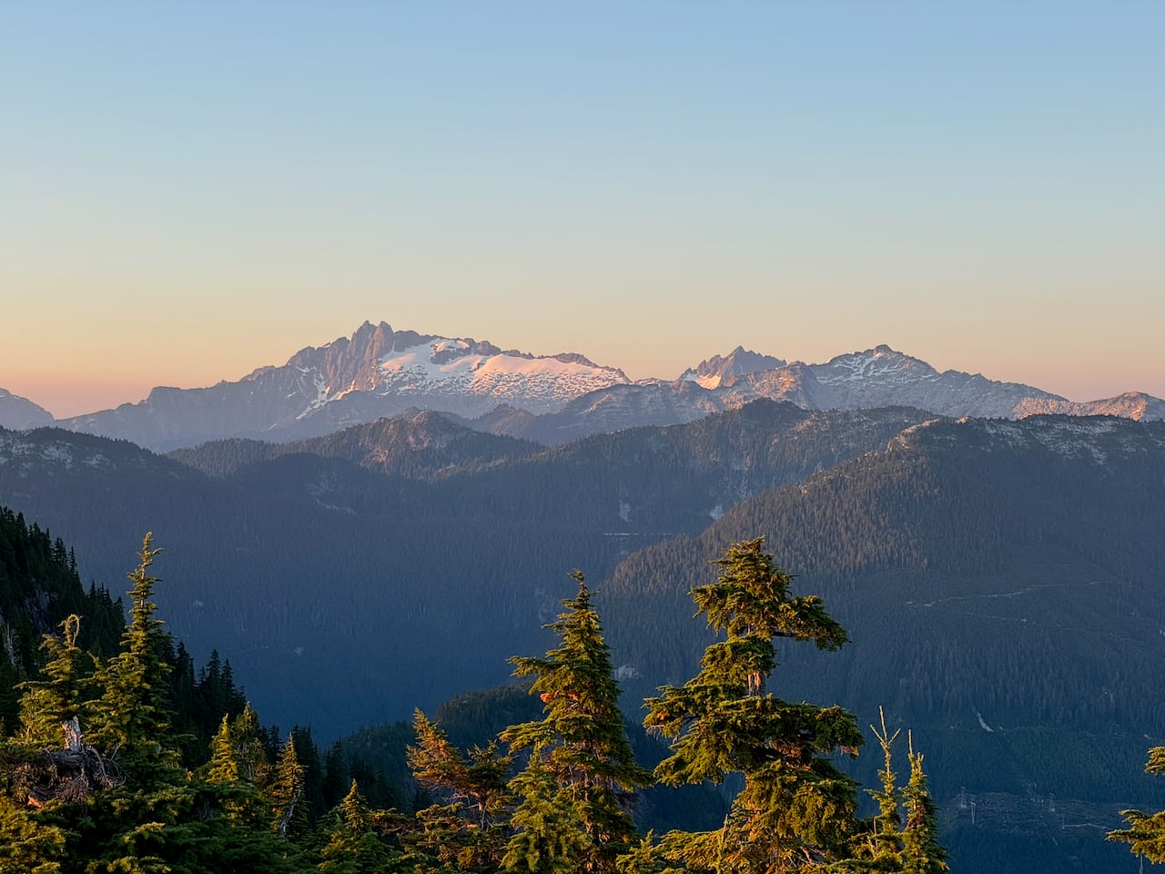
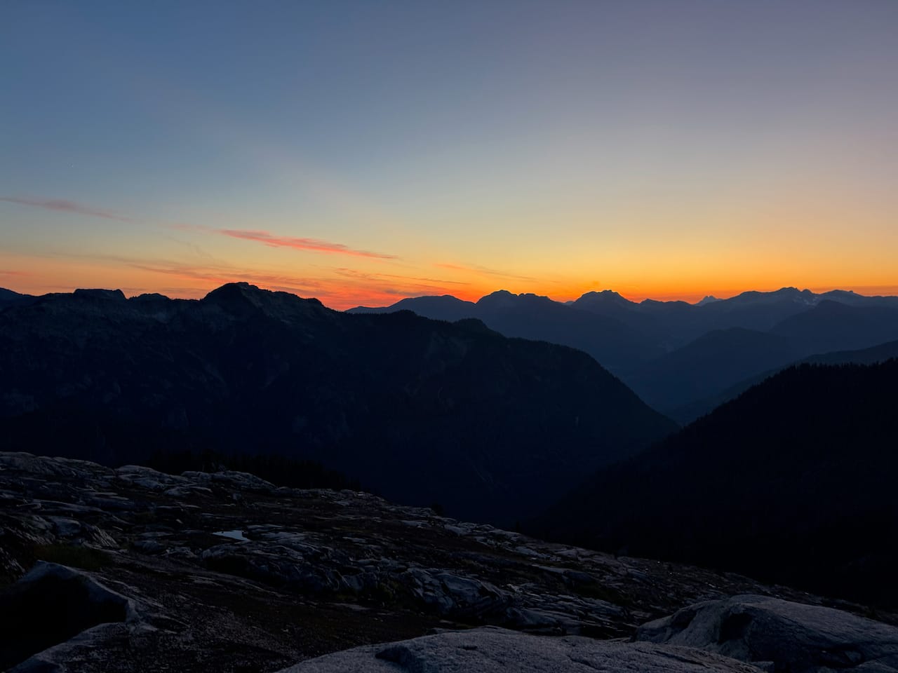
I camped on the ridge about a kilometre north of the Lions, enjoying the beautiful sunset views from my island in the sky. The Tetrahedron peaks across the valley and the Tantalus Range were highlights.

I woke up with a nasty cough. I opened the door of my tent to see absolutely nothing. The smoke had arrived. A hummingbird flew around me as I packed up.
The most direct route to Alacia Peak would be along a very narrow ridge with steep cliffs on either side. I wasn't sure if the last push to the peak would go, and without a rope there wouldn't be many bailout options. I descended the eastern ridge of the bump to the north of the McNab Lions, then climbed down a gulley to reach the bench on the east side of Alacia Peak.
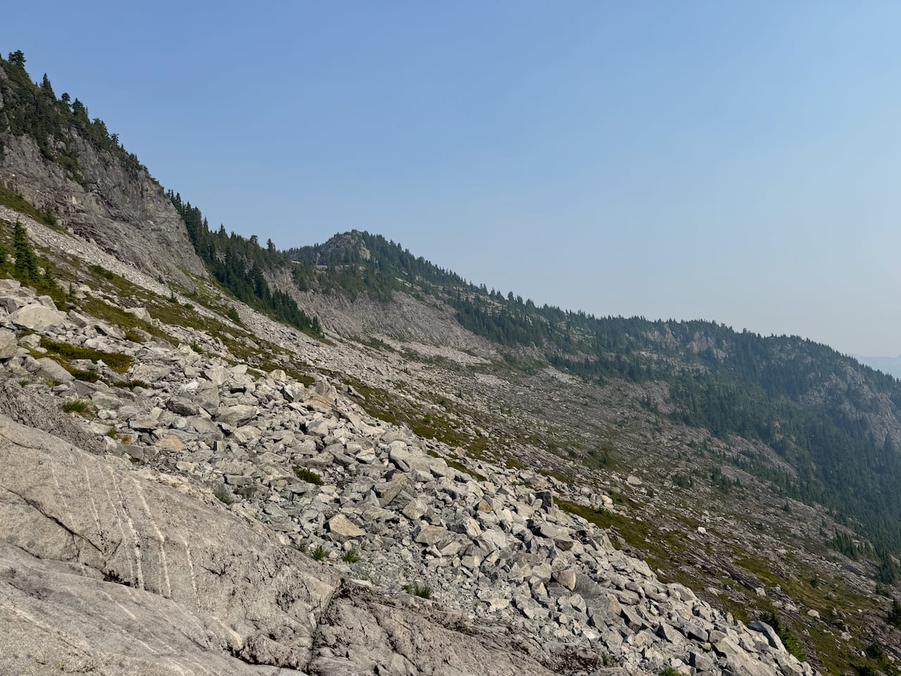
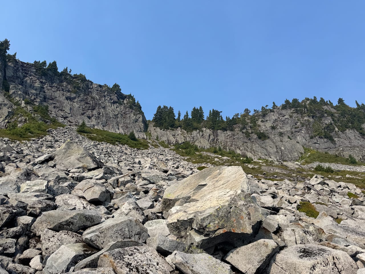
I continued north there, then bushwhacked to reach Alacia’s south face. Another steep gully took me to the false summit. From there the true summit was easily reached.
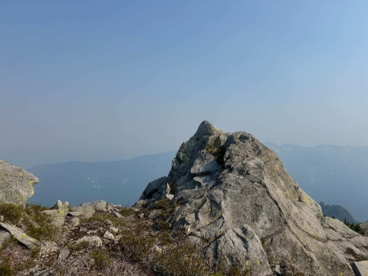
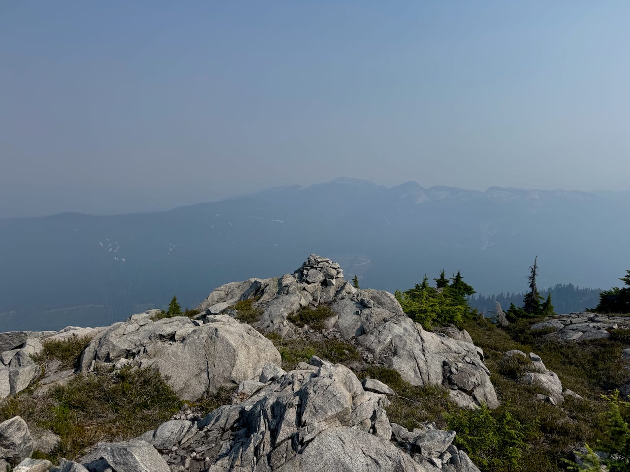
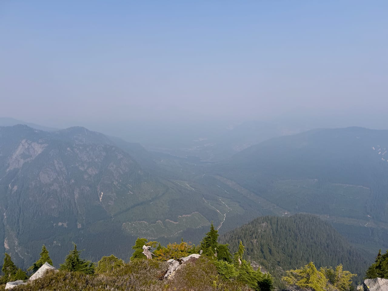
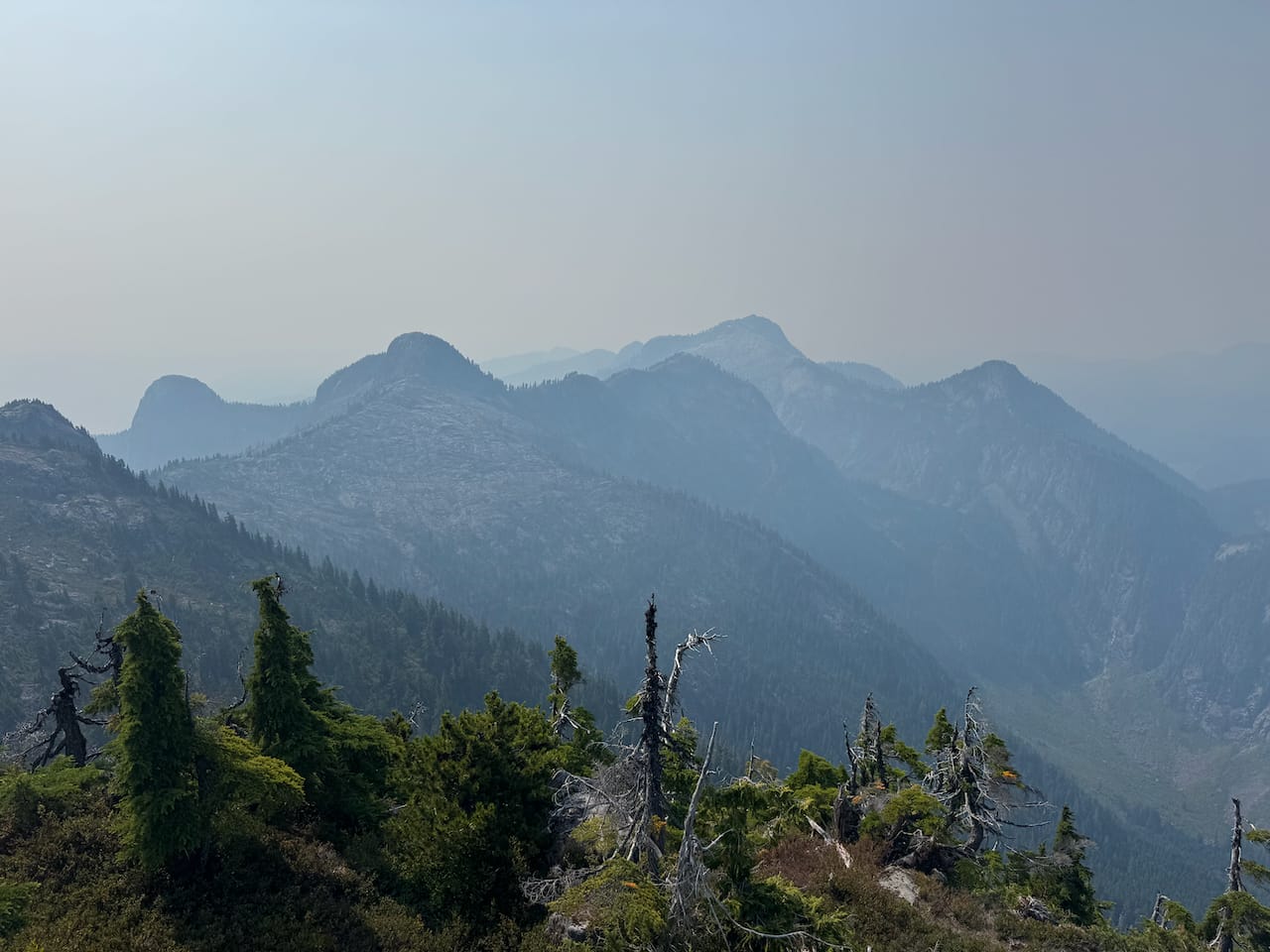
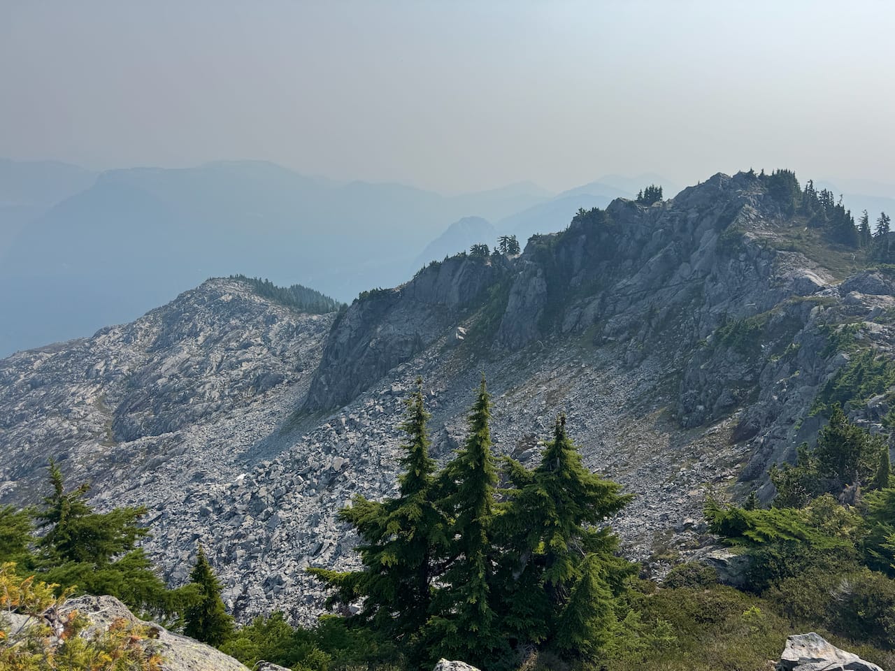
It was the first online ascent of this obscure peak, but of course not the first ascent. There was a large beehive-shaped cairn on the peak. It was covering a smaller cairn of spray-painted rocks, which hid a piece of rebar covered in flagging tape, probably some sort of survey marker.
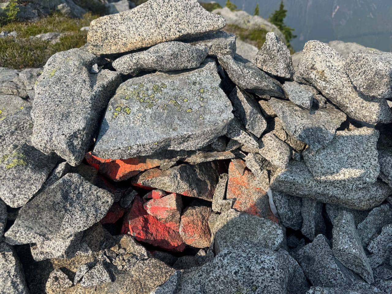
The smoke was just getting worse. I’d planned to continue further into the backcountry, but there was no point. This added some flexibility to my schedule so I enjoyed an extended lunch break on the peak. Then I made my way to Alacia’s northeastern ridge and dropped down the eastern face towards McNab Creek.
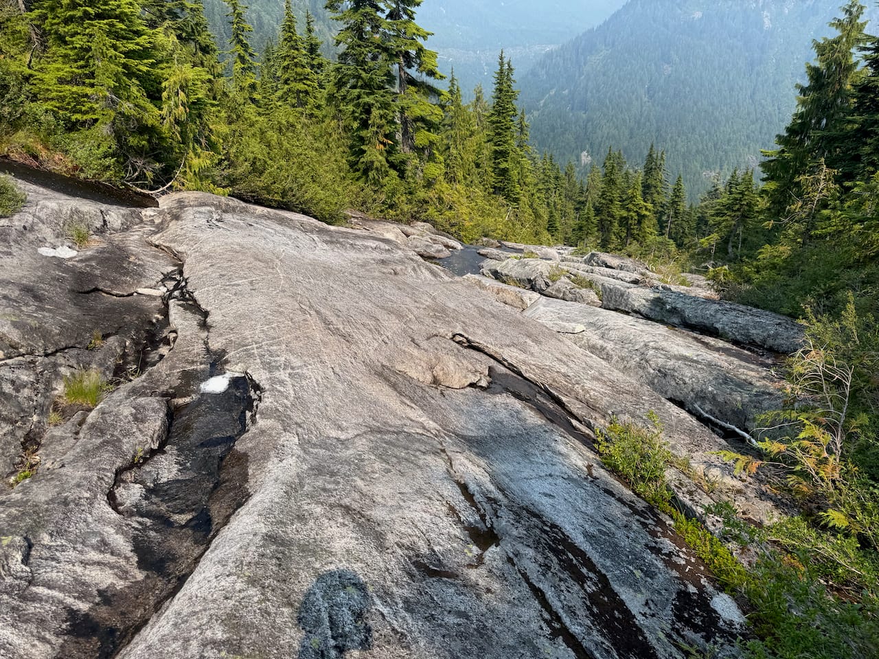
Almost 1 vertical kilometre of bushwhacking later, I reached the McNab FSR at the base of the valley. I walked down this FSR, then up the road to Box Canyon Pass.
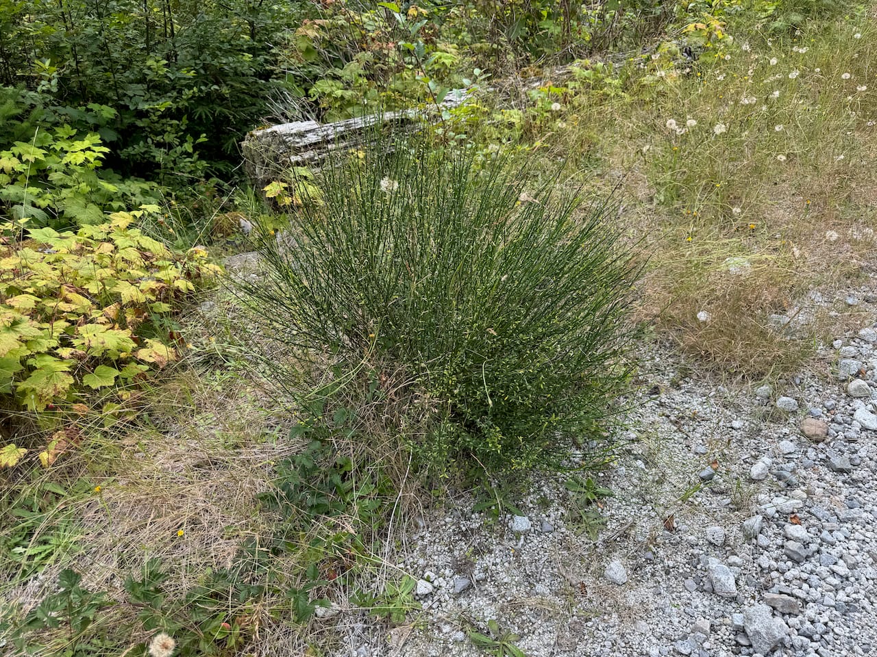
The afternoon light through the smoky air gave the road an eerie atmosphere. For some reason, there were slugs every few metres.
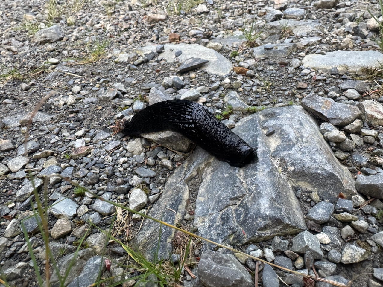
Some side quests took place.
I set up camp halfway to Box Canyon Pass then continued the next day. I had a date planned in Gibsons at lunchtime which gave me excellent motivation to move quickly.
The road was in good condition, but once it ended, almost 300m of steep terrain covered in dense alders stood between me and the pass. I found an elk trail which made things slightly easier. Thankfully the Port Mellon side of the pass was much easier, with almost no bushwhacking needed. I soon reached a FSR and jogged down the road.
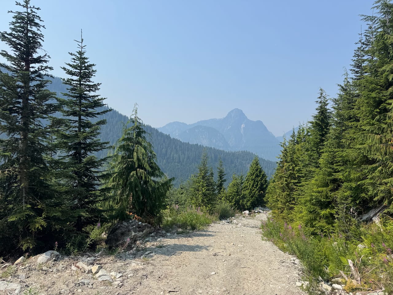
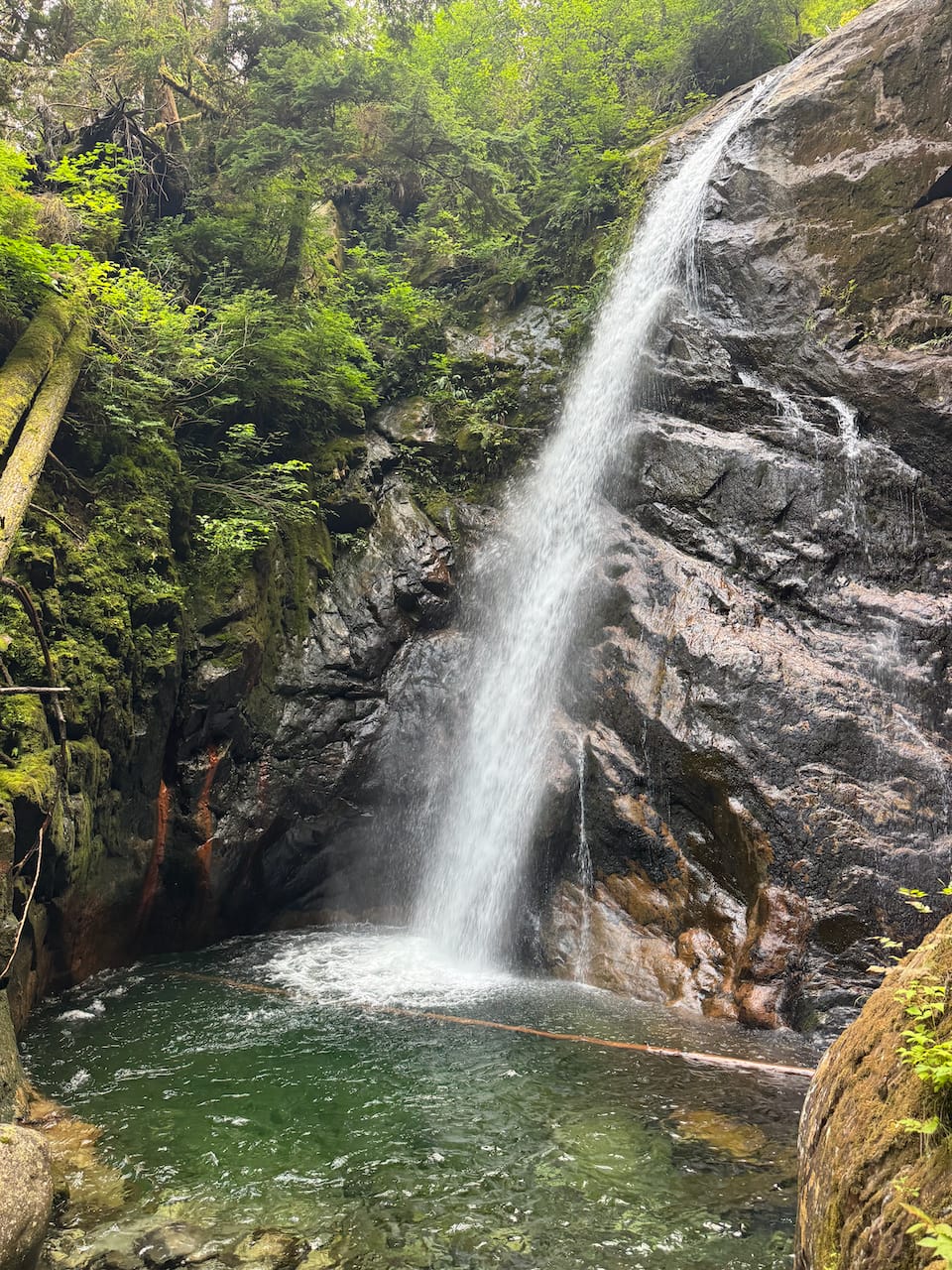
I took a break at a creek crossing with a very inviting pool, where I washed off three days of sweat, dirt, and pine needles.
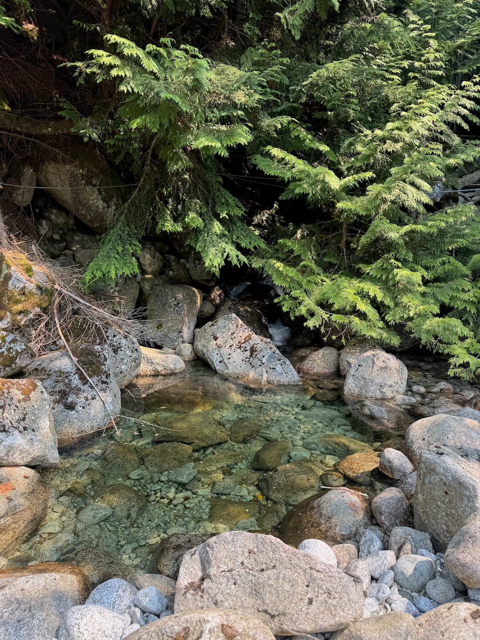
I passed the Port Mellon checkpoint without incident and made it to Gibsons on time.
Member discussion