Midian Peak
Date: September 12, 2026
Distance: 11.74 km
Elevation gain: 868 m
Midian Peak is an obscure peak south of the Duffey Lake Road. I reached the summit on a trip organized by Charles from the VOC.
The group met up in North Van and we drove north. It was nice not to drive for the nearly 4 hour journey. The main Van Horlick FSR was in surprisingly good condition. After about 9km we took a side branch which had a few deep water bars. Eventually we reached a log that had been cut wide enough to allow access for ATVs but not cars, so we parked and camped.
As I was drifting off, I heard some chirping noises that we initially assumed were birds. After the trip we realized it was probably a cougar...
The night was quite cold and we woke up to frost on the leaves. It also turned out that a critter had tried to get into the car overnight. Thankfully it still started. We had a cold breakfast in the car then began the adventure.
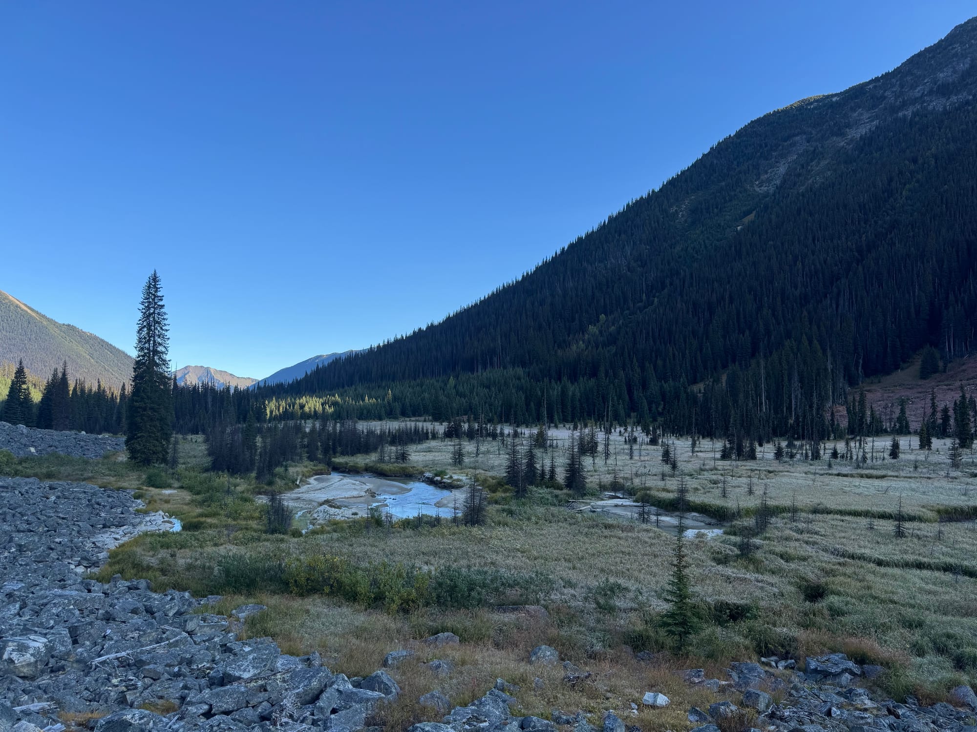
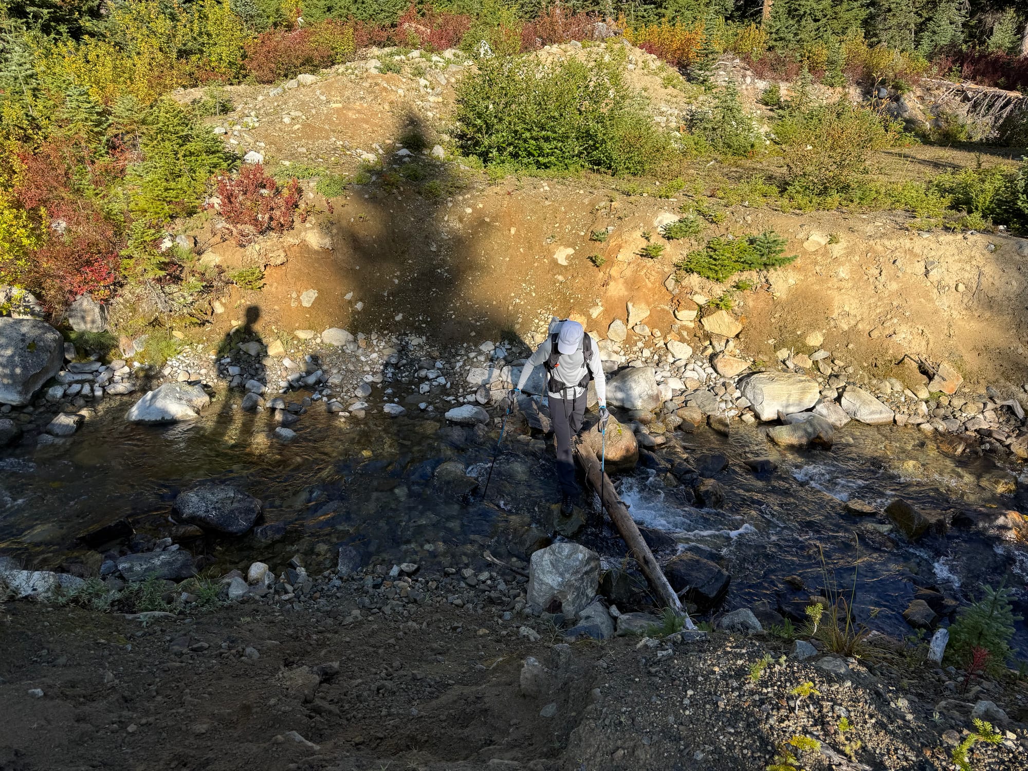
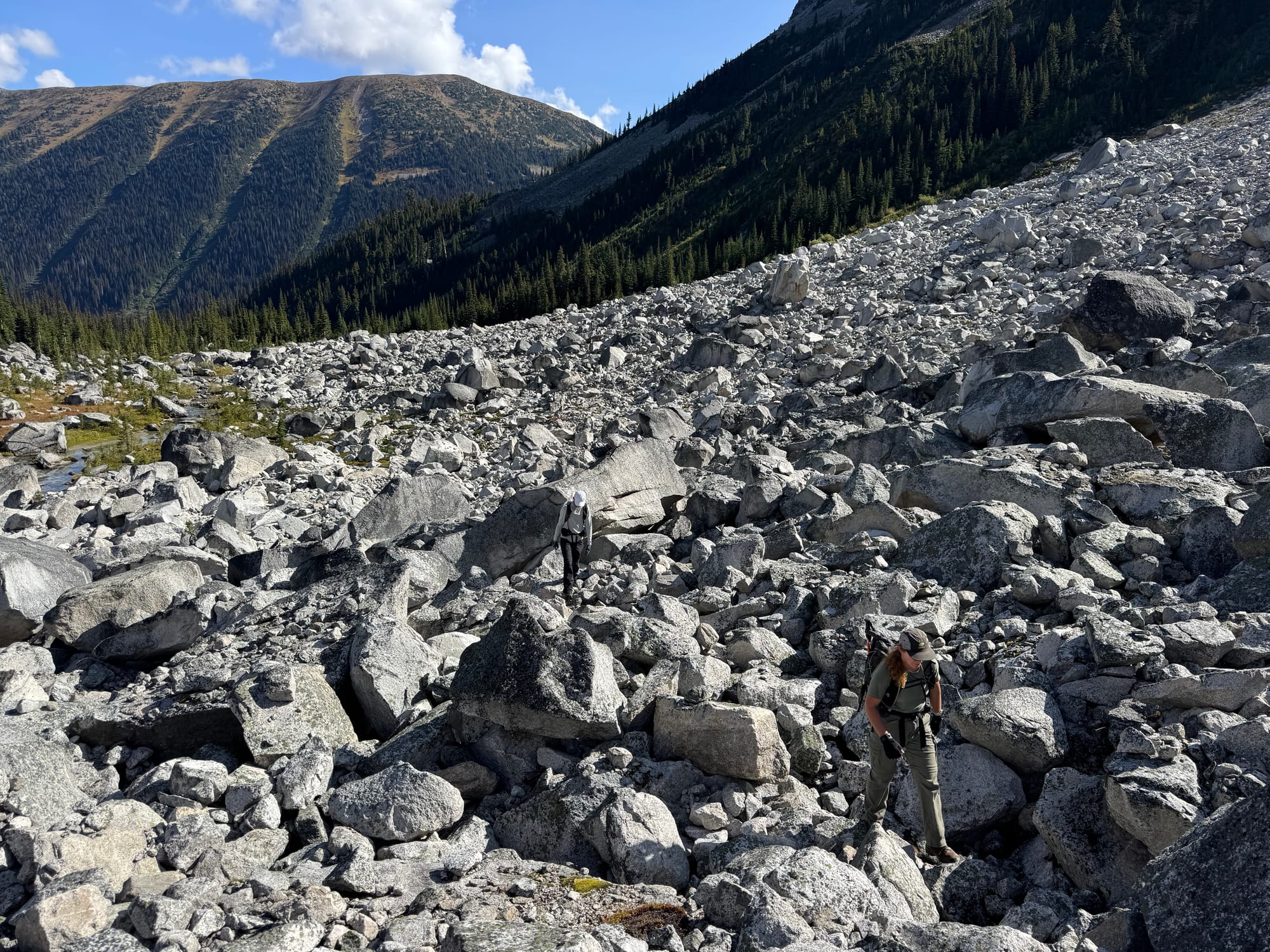
We walked a couple kilometres to the end of the road, crossing a large creek on the way. We left the road a bit too late and ended up in a cutblock, forcing us to lose some elevation to get into the correct valley. We found a boulder field and it was smooth sailing from there.
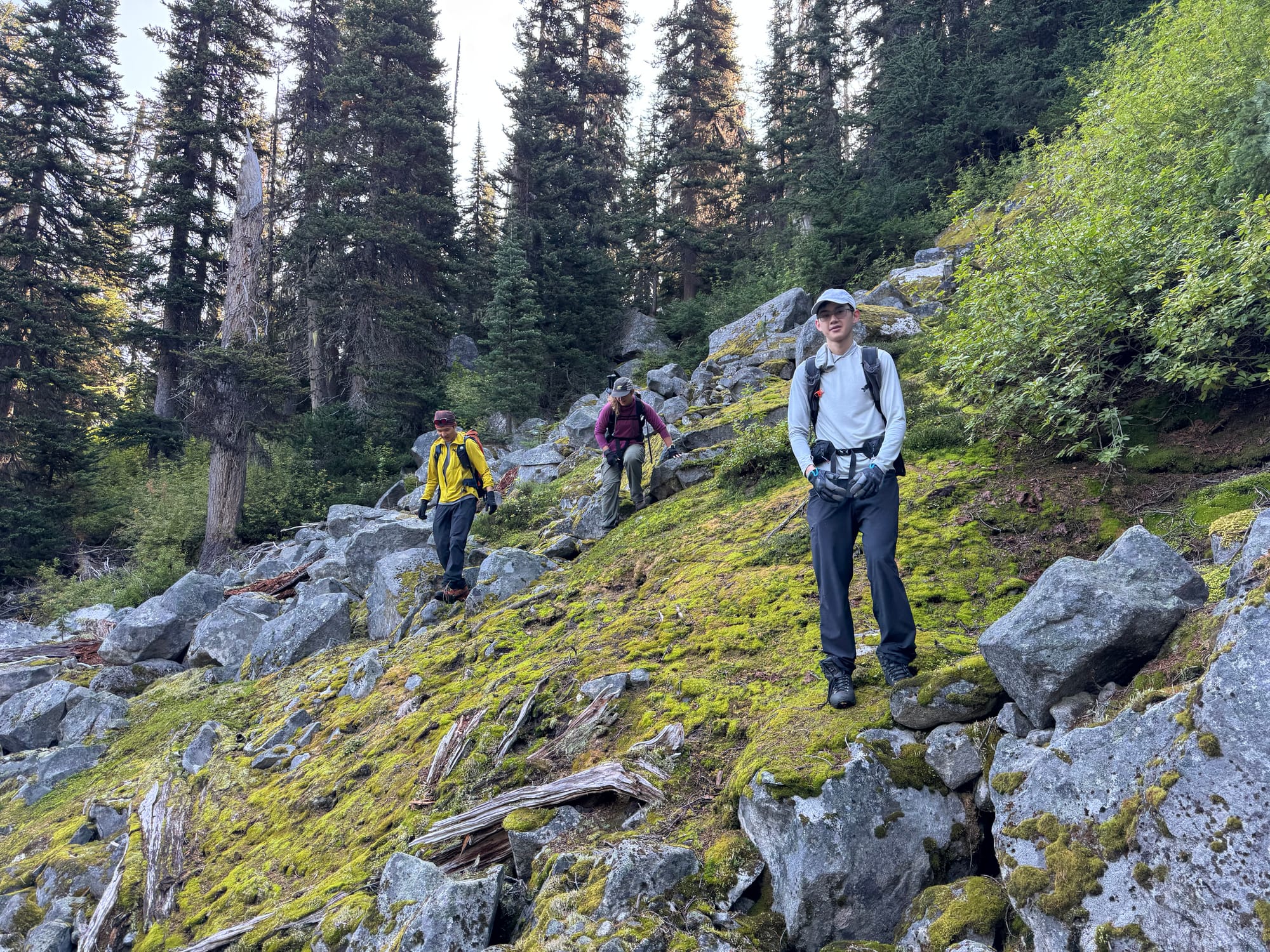
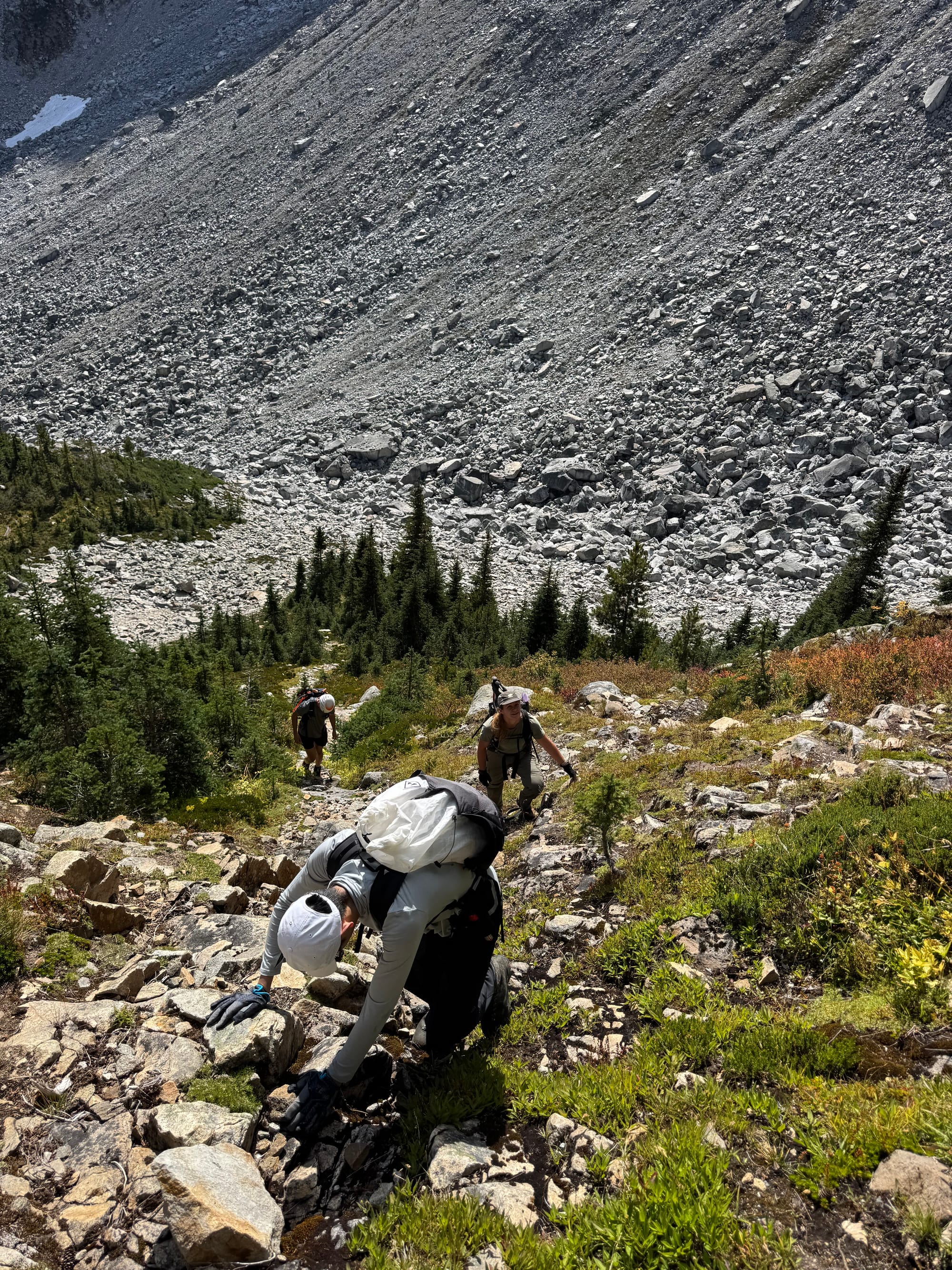
Once we were further up the valley, we had to climb up some steep slopes to reach the bowl below the peaks. We went up a dry drainage to the northwest. This involved some fun class 3 moves.
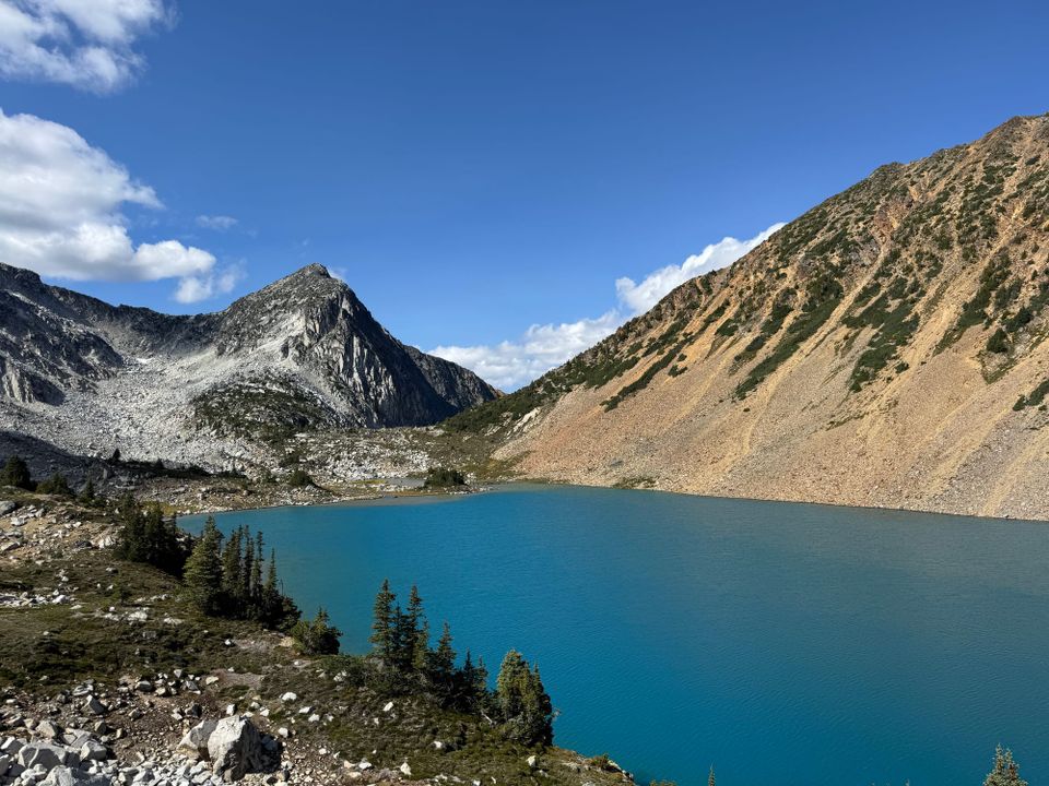
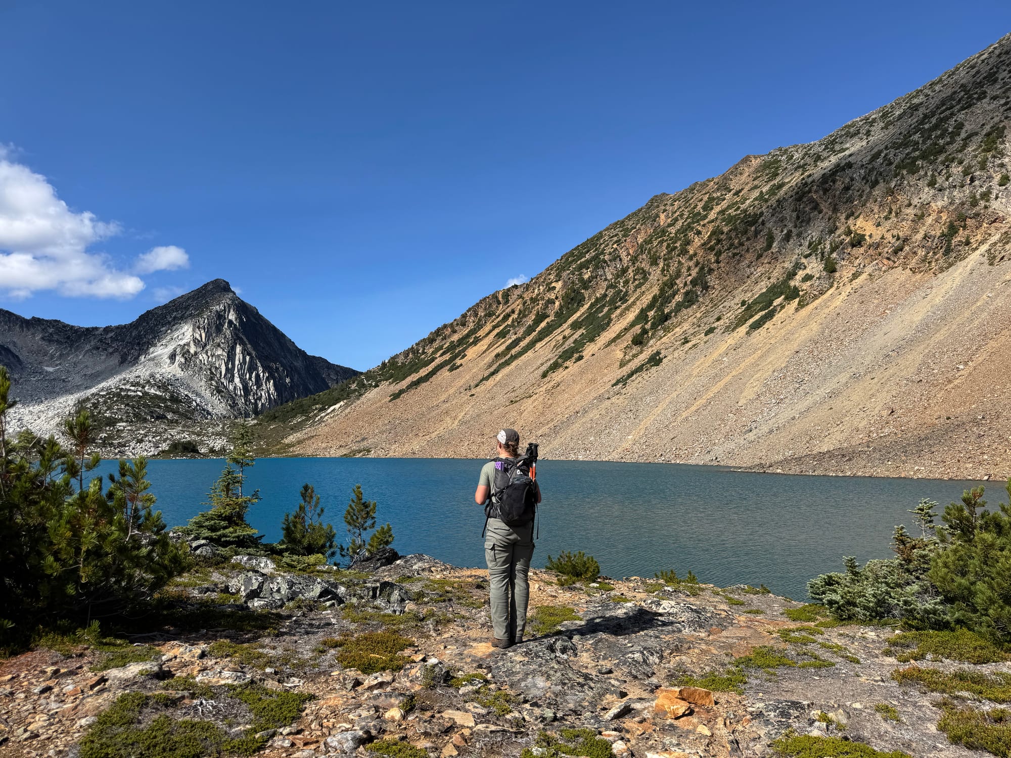
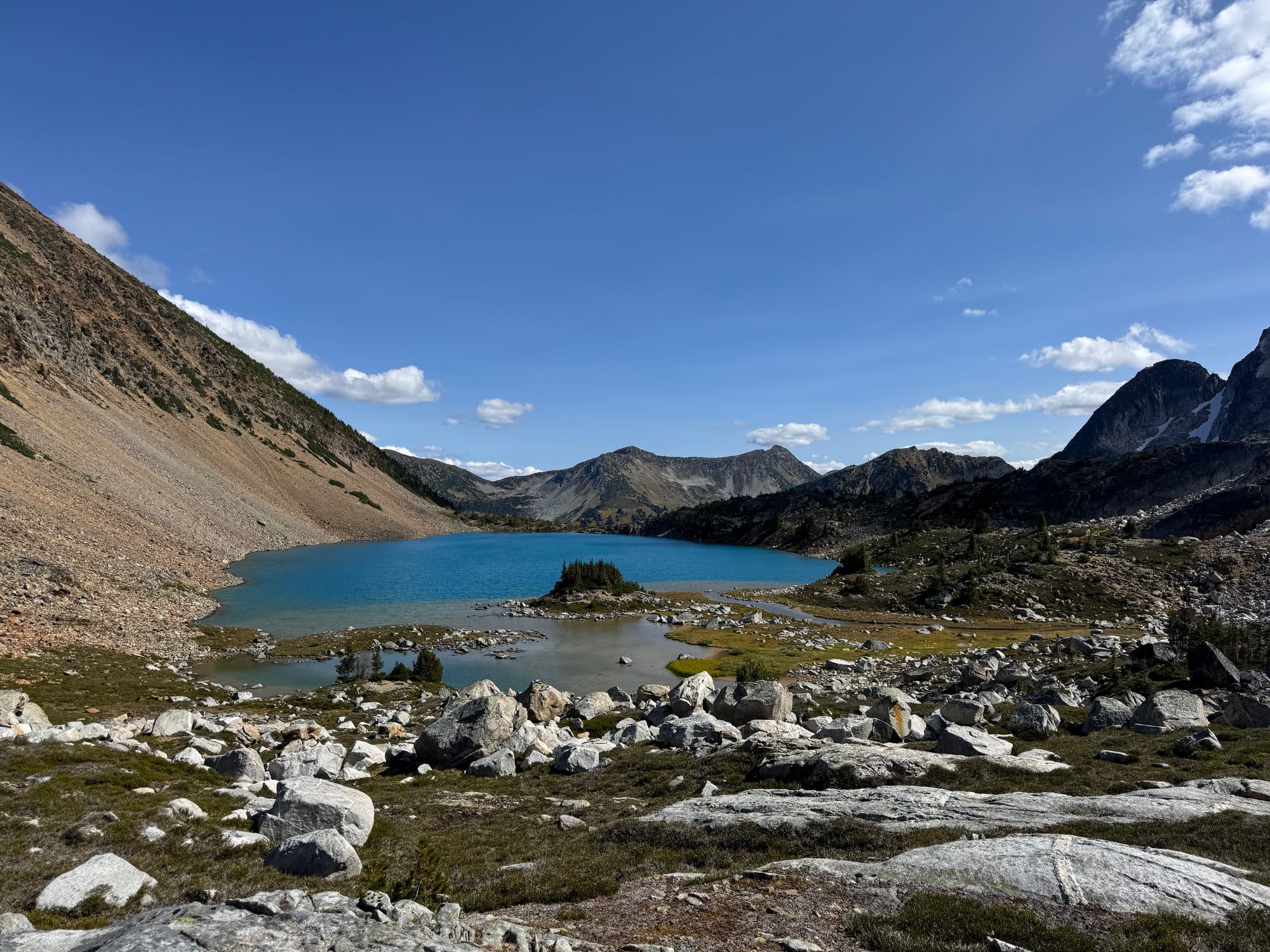
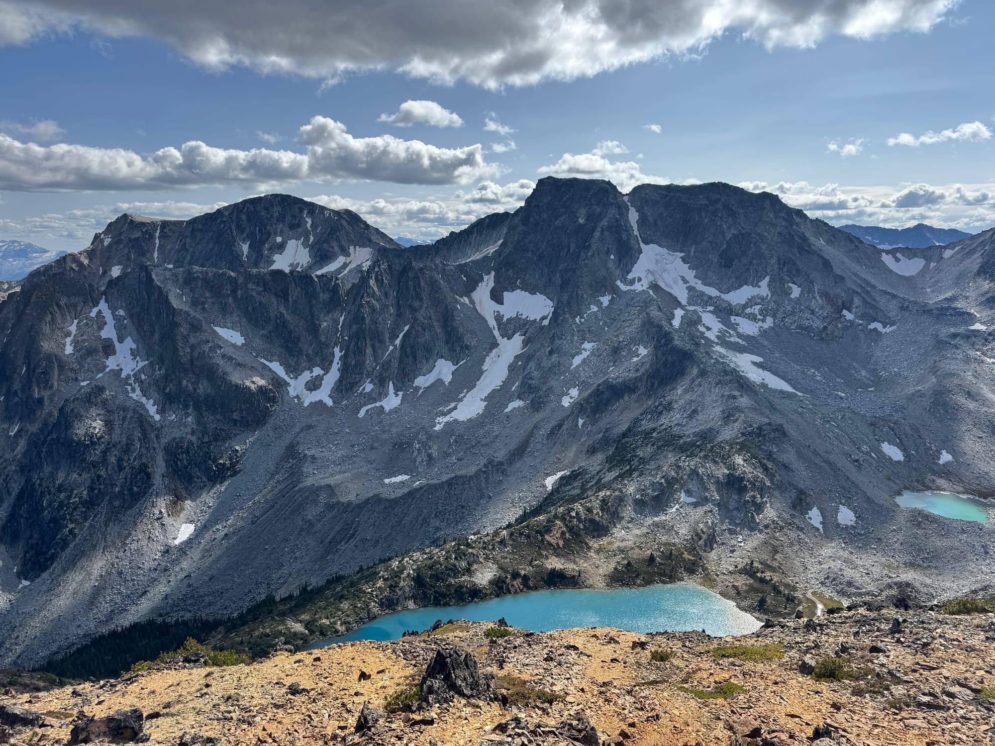
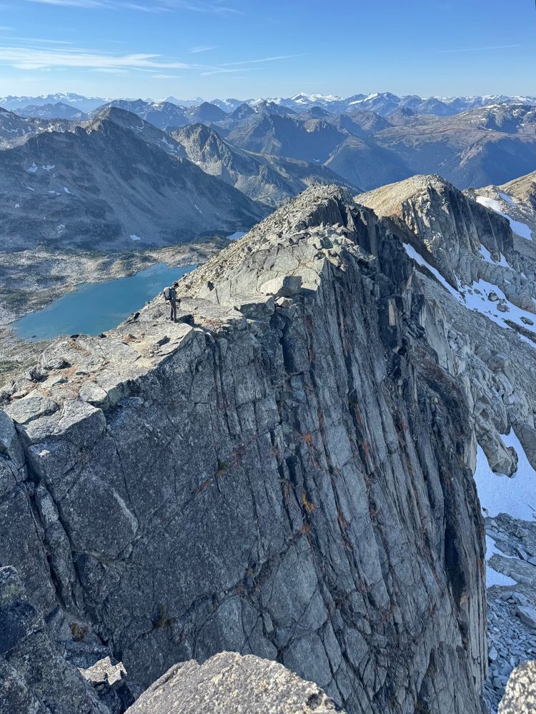
Soon we were at the strikingly blue unnamed lake below Midian Peak. It was quite cold and windy but Leo took a swim anyway.
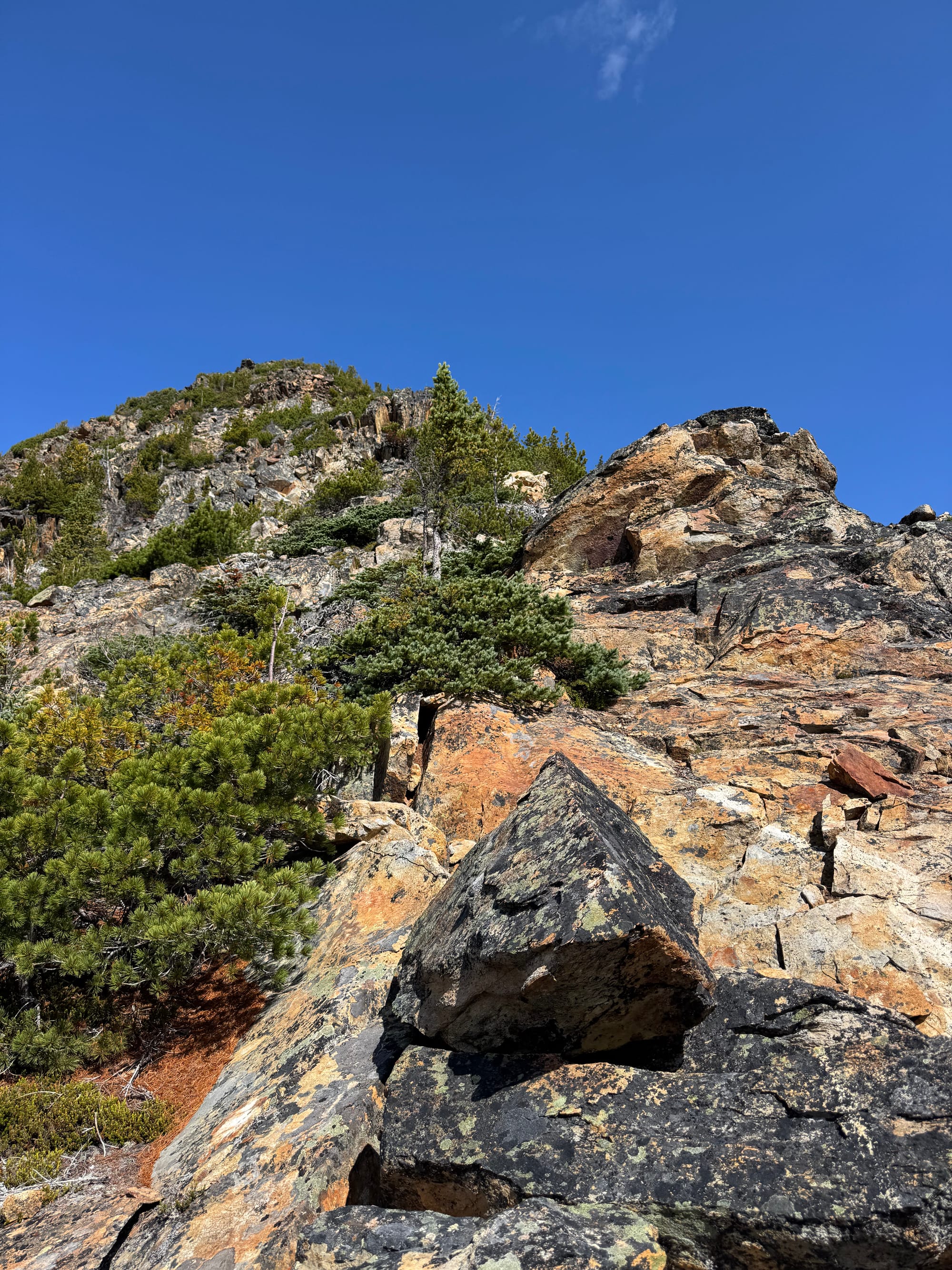
After a long break we continued towards the southwest ridge of Midian Peak. This was another fun climb with some scrambly moves, but the rock was quite loose.
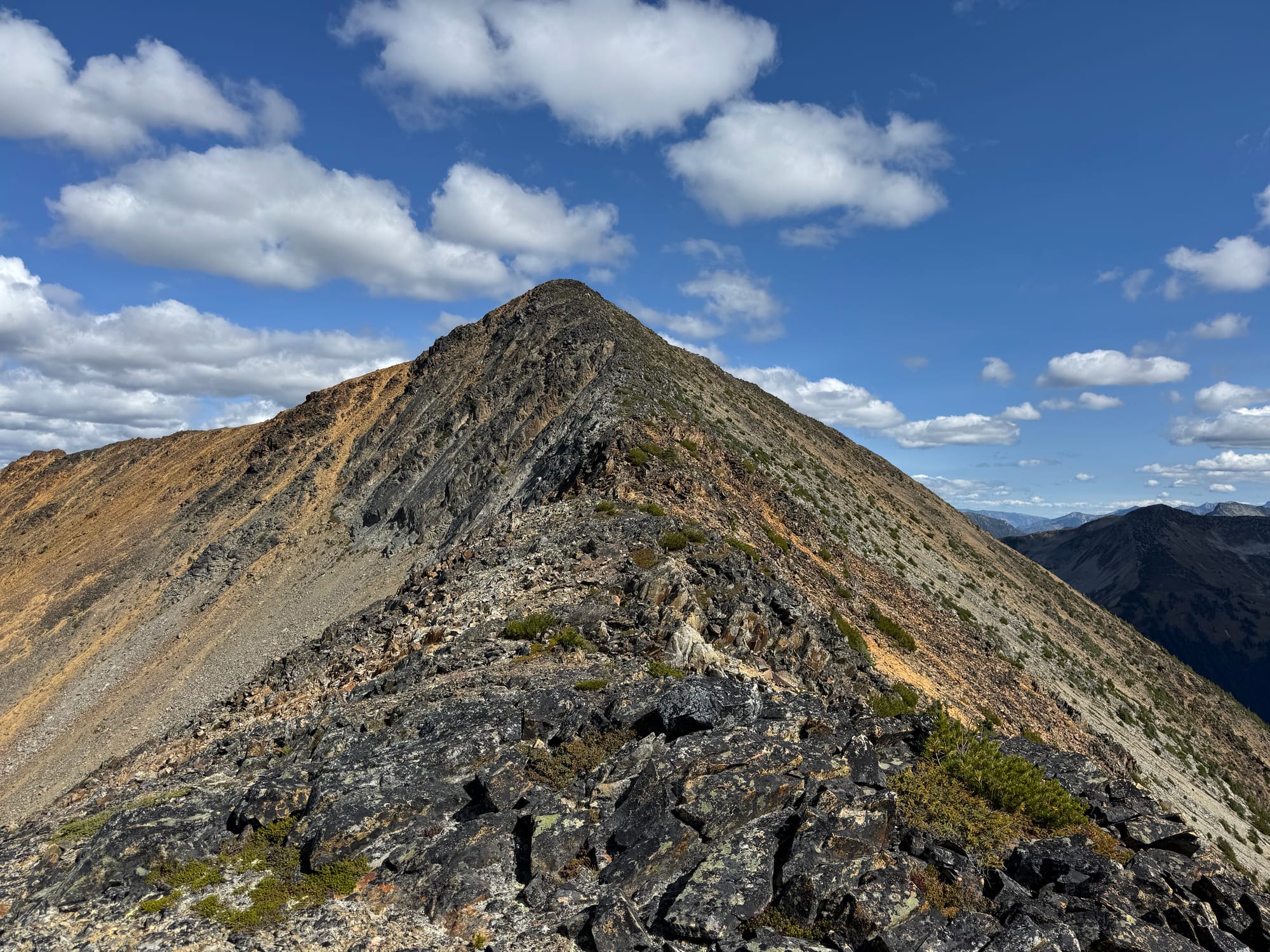
The summit was soon attained, and we enjoyed the unfamiliar perspectives on familiar peaks such as Joffre, Matier, Wedge, etc.
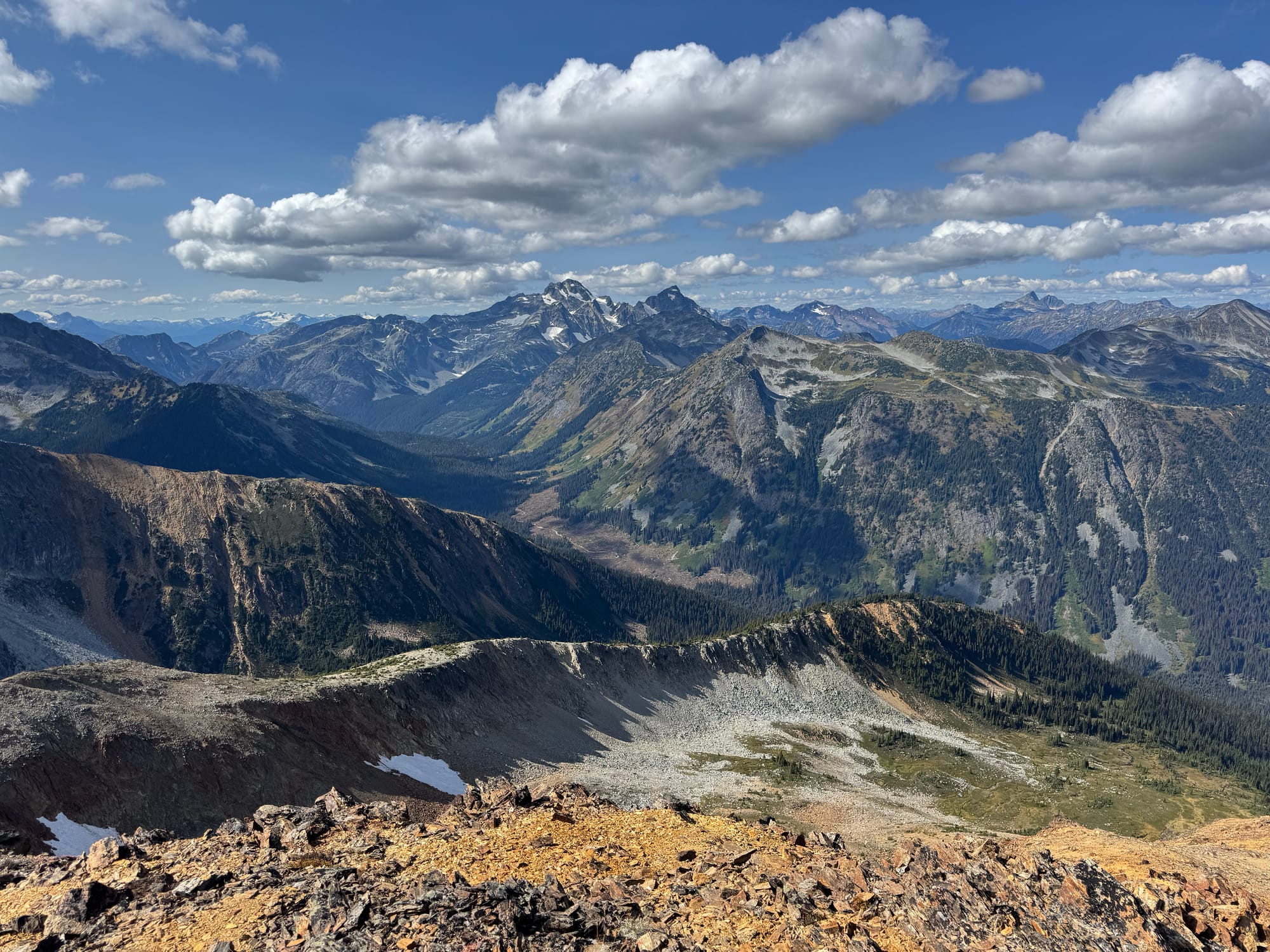
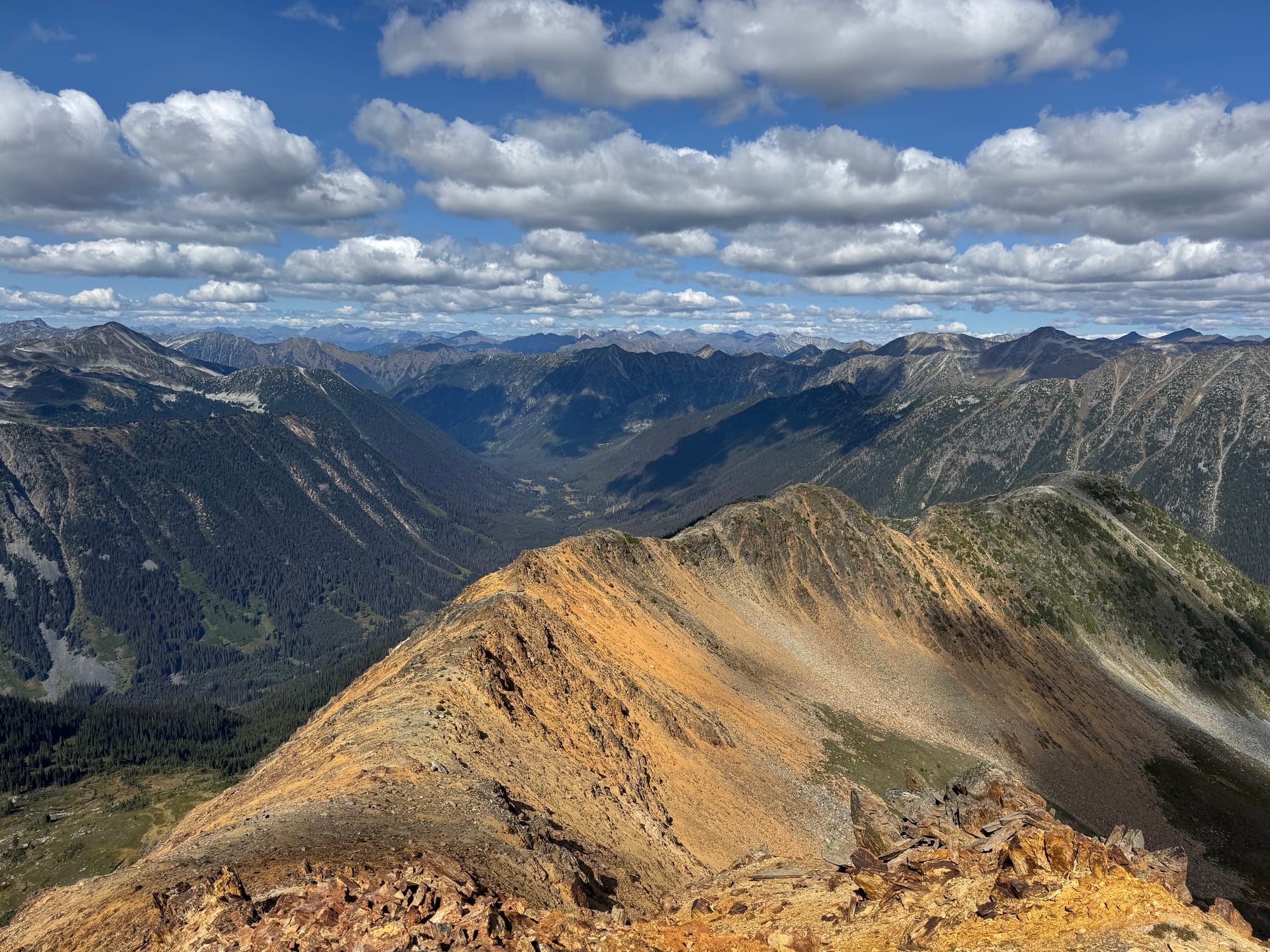
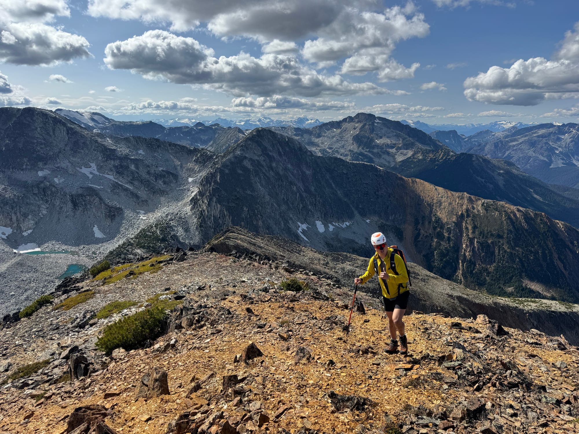
We decided to make a loop by descending the peak’s eastern ridge. This worked well at first, but then the ridge got steeper and looser so we decided to leave it.
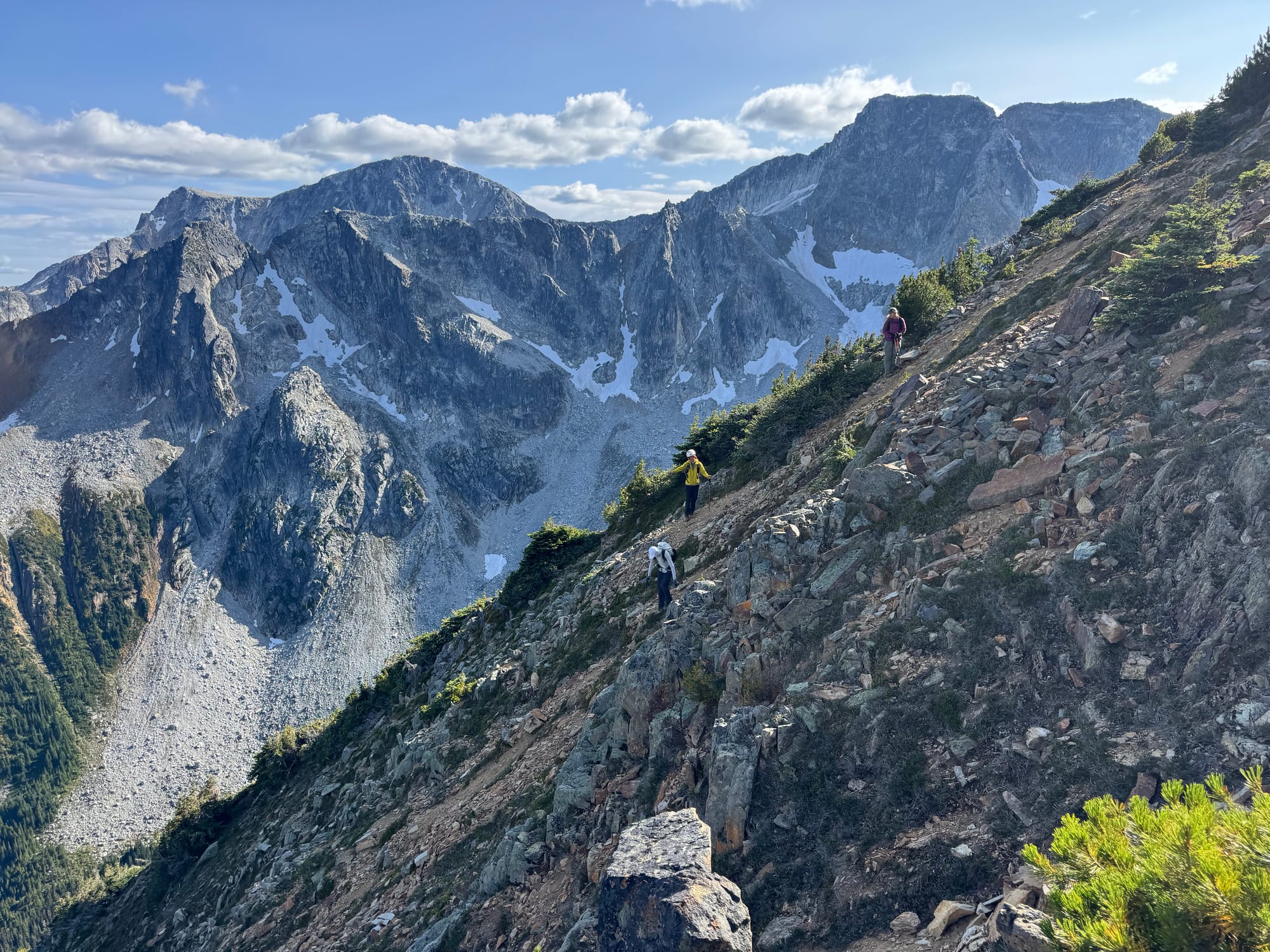
A gully led to the valley to the north of the peak. We decided to descend the gully, but it had the loosest rock we’d seen on this trip, so we had to be very careful. We went down one at a time, each of us dislodging many basketball-sized rocks on our way. At the base of the gulley we traversed another boulder field to stay well out of the next person’s line of fire.

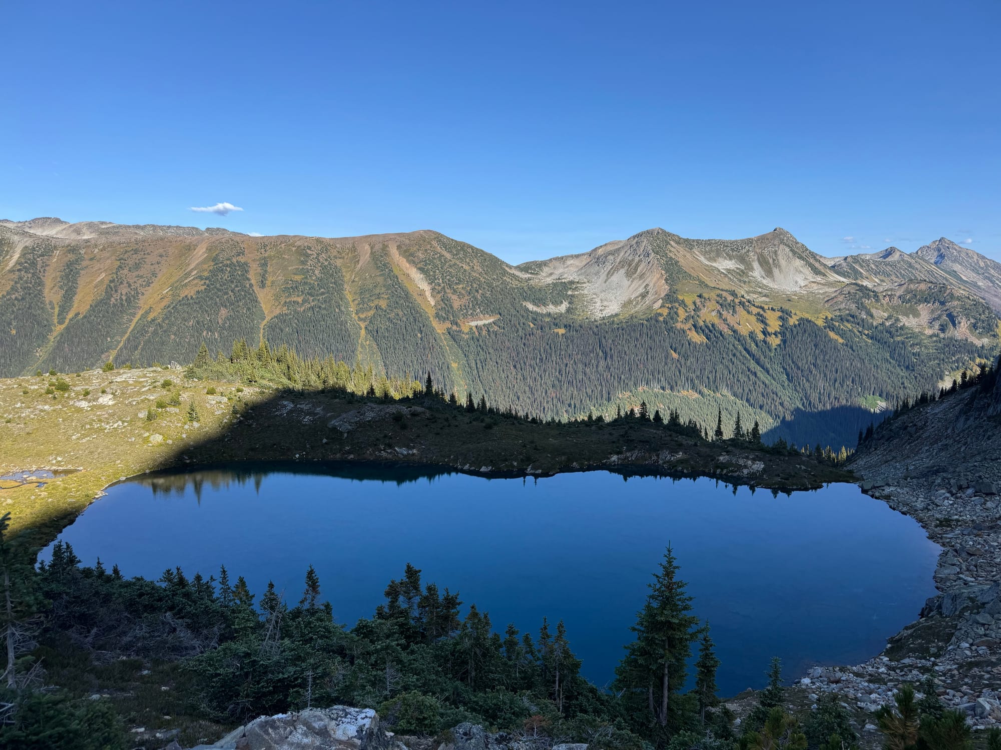
Eventually we all made it to the valley, and took a break at the beautiful lake below the ridge. I’m sure this lake sees few visitors…
We were a few hundred metres above the road. The route down was open at first, but quickly led through some annoying deadfall and then a slightly overgrown cutblock.
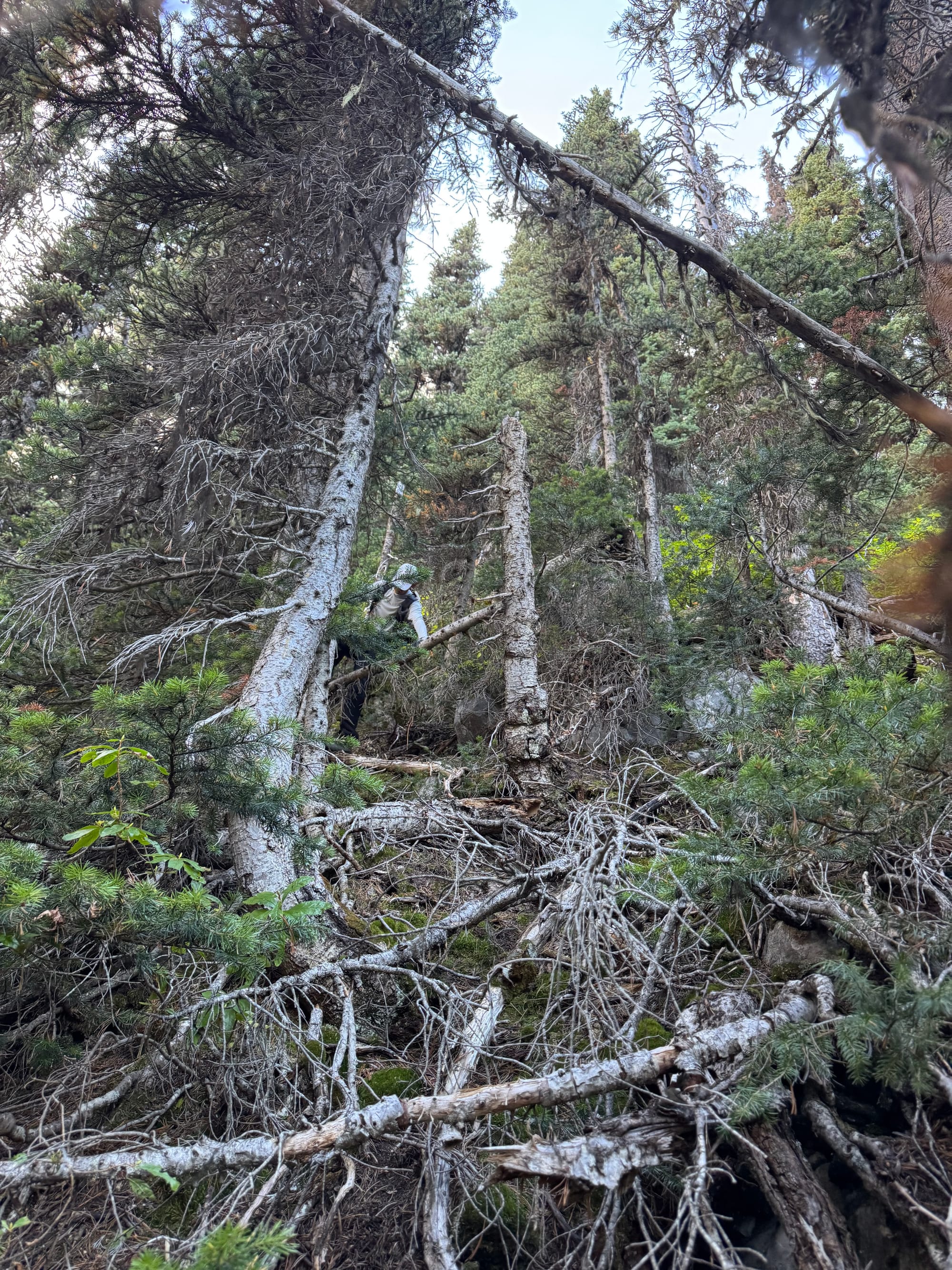
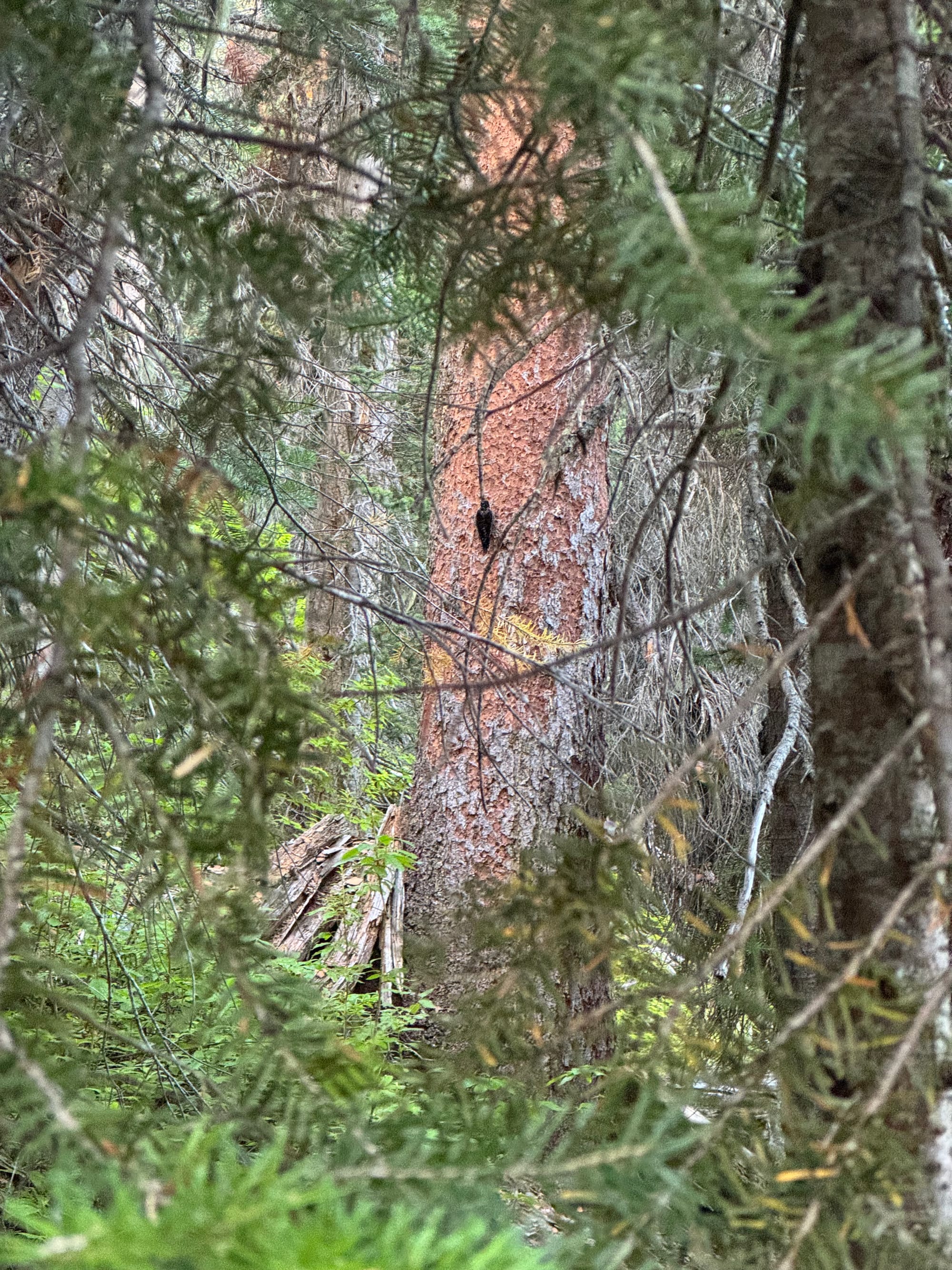
It took a while but we eventually reached the road. It was smooth sailing from there.
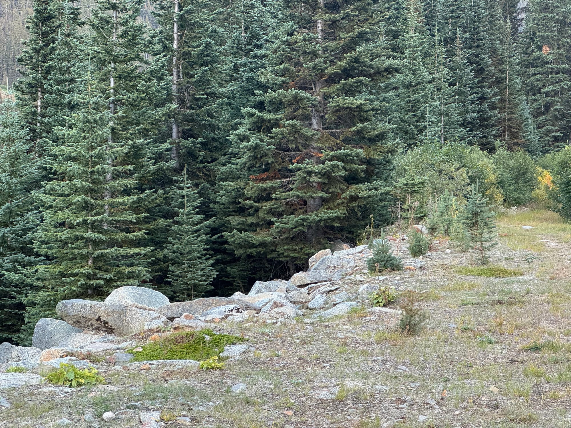
We were delayed on the way back due to a sudden attack of food poisoning, but eventually we made it back to Vancouver.
Member discussion