Sky Pilot Mountain
Date: Oct 18, 2026
Round-trip distance: 18.60km (from highest accessible point on Shannon Basin FSR)
Elevation gain: 1270m
Sky Pilot Mountain is a Southwest BC classic. It rises over 2,000 metres above the town of Squamish, dominating the view from almost every nearby peak. The standard route is a scramble with two difficult sections and significant exposure. It’s been on my bucket list for a long time, and in October 2026 I finally got around to climbing it. It lived up to the hype and it’s easily one of my favourite mountains.
I should note that this is a mountaineering objective, not a hike. Anyone considering this peak should bring a helmet and familiarize themselves with glacier travel (there is a glacier crossing, although the glacier is fading very fast and most parties don’t rope up.) For most of the summer, there is a steep snow climb involved, and conditions usually require an ice axe and spikes or crampons. This route starts from the top of the Sea-to-Sky Gondola, which saves several kilometres and over eight hundred metres of elevation gain. As a result, it sees many visitors, some of whom are unprepared. At the same time, most people with a decent amount of climbing or scrambling experience wouldn’t find it too challenging.
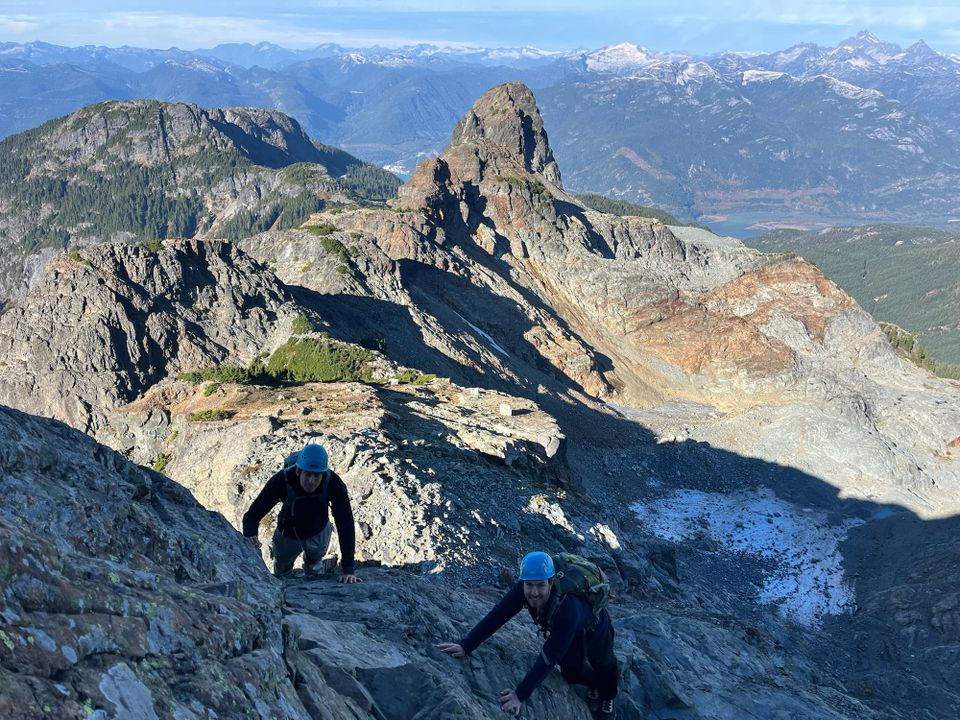
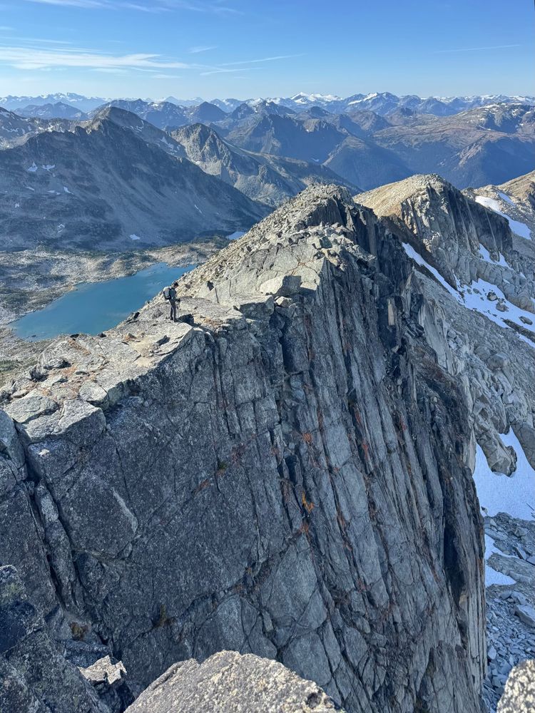
The first crux is the infamous Pink Slab, a class 4 scramble with significant exposure. Most photos online are taken from below the pink slab, which makes it seem more vertical than it really is, although some photos make it look less steep than it actually is. The second crux is a chimney near the true summit, which I found to be more technically difficult but much less exposed than the pink slab. If you want a better sense of the scramble, I recommend watching some of the many Youtube videos depicting the climb, such as this one (pink slab is at 4:45).
There was some surprisingly nice weather followed by what was supposed to be a snowy day in the mountains, so I decided to do one more scramble before the season ended. It was a last minute weekday trip but I managed to get a good group together. We woke up early on Friday and met up in West Vancouver. There were some debacles involving last-minute bailing, engine trouble, and an unexpected parking time limit at Park Royal, but soon Eden, Erik, and I were on our way north.
Most people will access Sky Pilot from the top of the Sea-to-Sky Gondola, but this limits you to the gondola’s operating hours (opens at 9am) and we were feeling cheap, so we took the alternate access via the Shannon Creek FSR, which added a couple extra kilometres each way. (It’s also possible to hike up the Sea to Summit trail from the base of the gondola, which significantly increases the stats). Construction is taking place on the Indian River FSR, which leads to the Shannon Creek FSR, and an attendant is posted at the turnoff. On weekdays, expect to wait a while if trucks are heading down the road. The attendant was friendly and he waved us through. I don’t think he was expecting to see anyone this early! Note that you are not allowed to drive on the Indian River FSR past the Shannon Creek FSR. There would be “hella drama" if we did that.
After a couple kilometres, we reached the turnoff, where another attendant sent us up the correct road. It was very steep but otherwise in good condition. We parked at the gate at 800m and began the hike.
We soon reached the top of the gondola, then headed southeast along an old road. After a few kilometres the road faded out. We crossed a few creeks while following the obvious trail uphill.
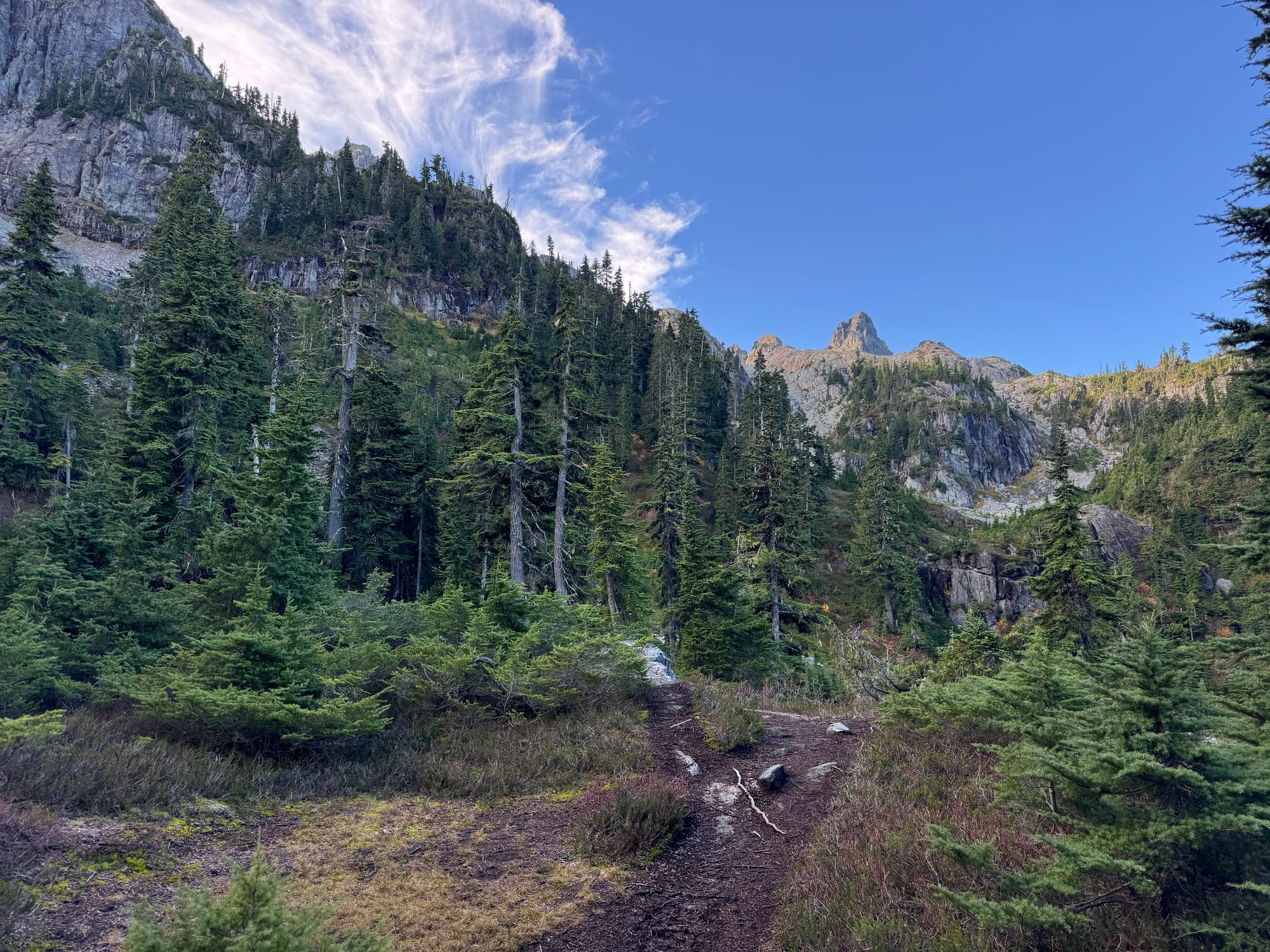
We hiked through a meadow, then up a valley towards the Stadium Glacier. Behind us, the views of Mt. Habrich got better and better.
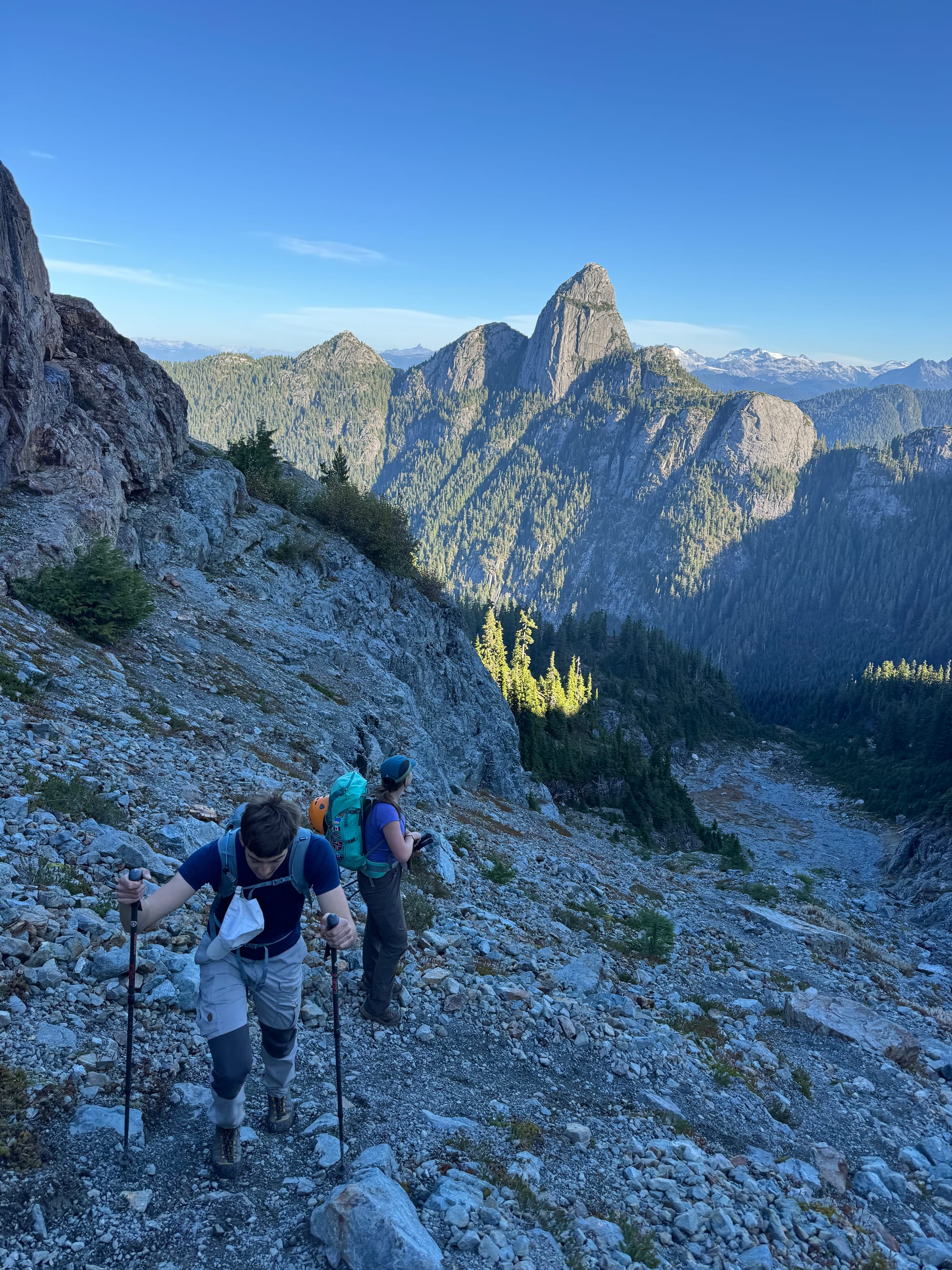
Soon we were at the base of the glacier. I was using the Scrambles guide and Steven Song’s 2018 trip report as reference and it was shocking to see how much the glacier had receded since then. It will be gone in the next few years.
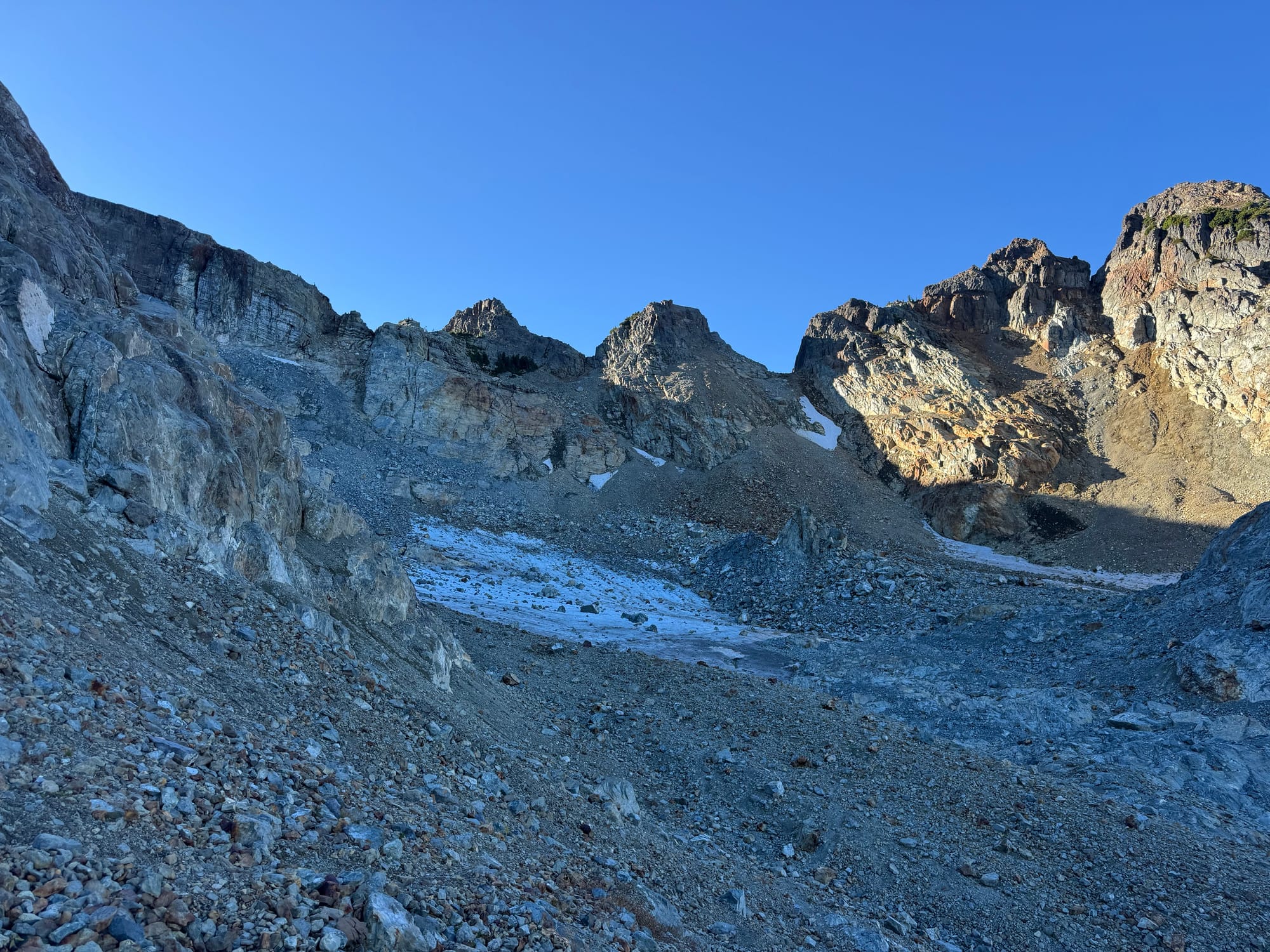
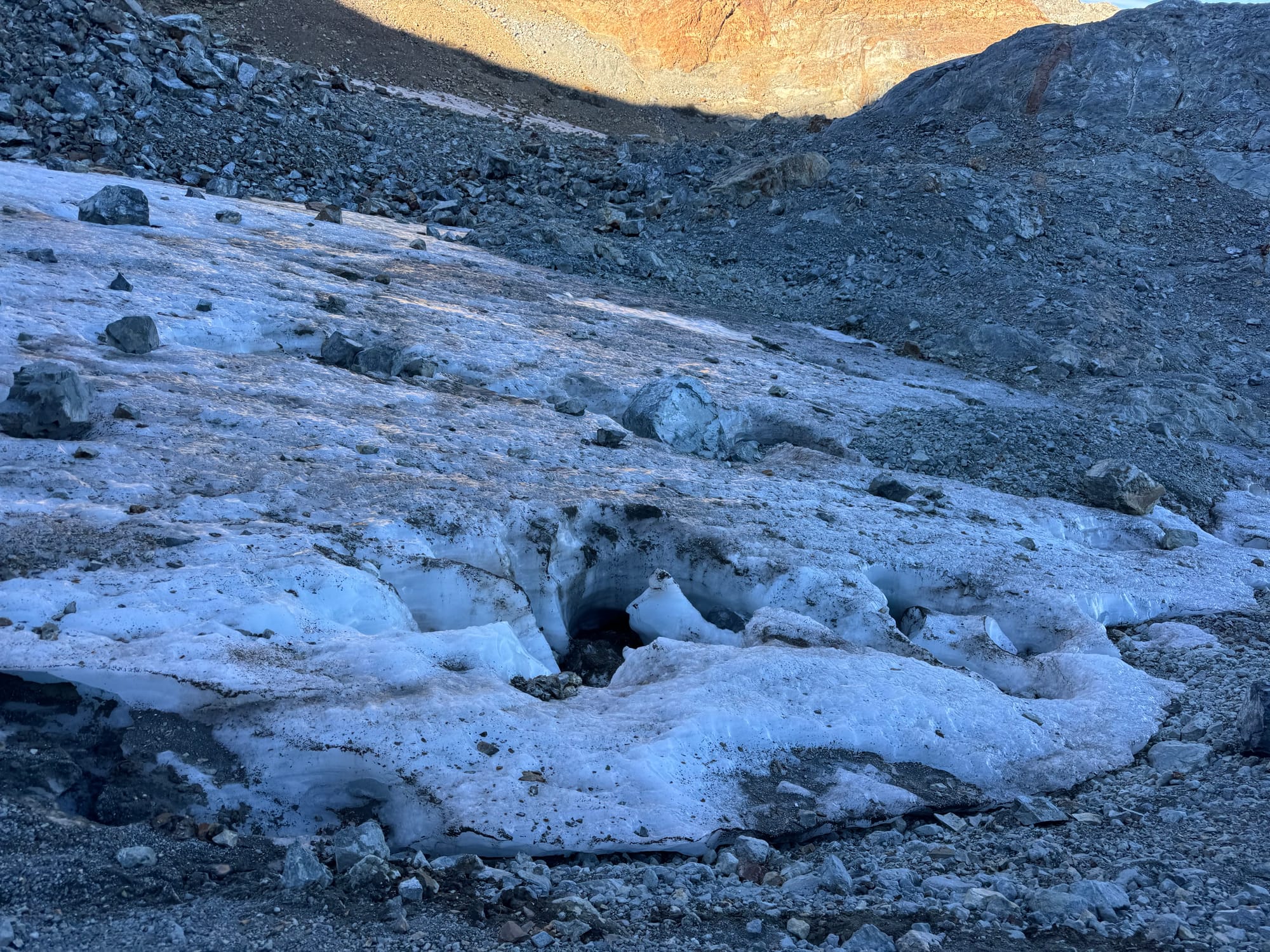
We put our helmets on and ventured towards a large horn separating two halves of the glacier. A decently sized chunk of rock fell off the horn as we approached it. We were all on guard for falling rocks after that.
Much of this section is a rock glacier, where landslides have buried the ice in rock debris. Streams flowed under our feet as the ice melted away.
The path to the ridge is a well-defined snow climb in the summer, but in October it was a steep scree slope with lots of loose rocks. We gave each other plenty of space as we ascended. If I came back here I’d go in late June or July.
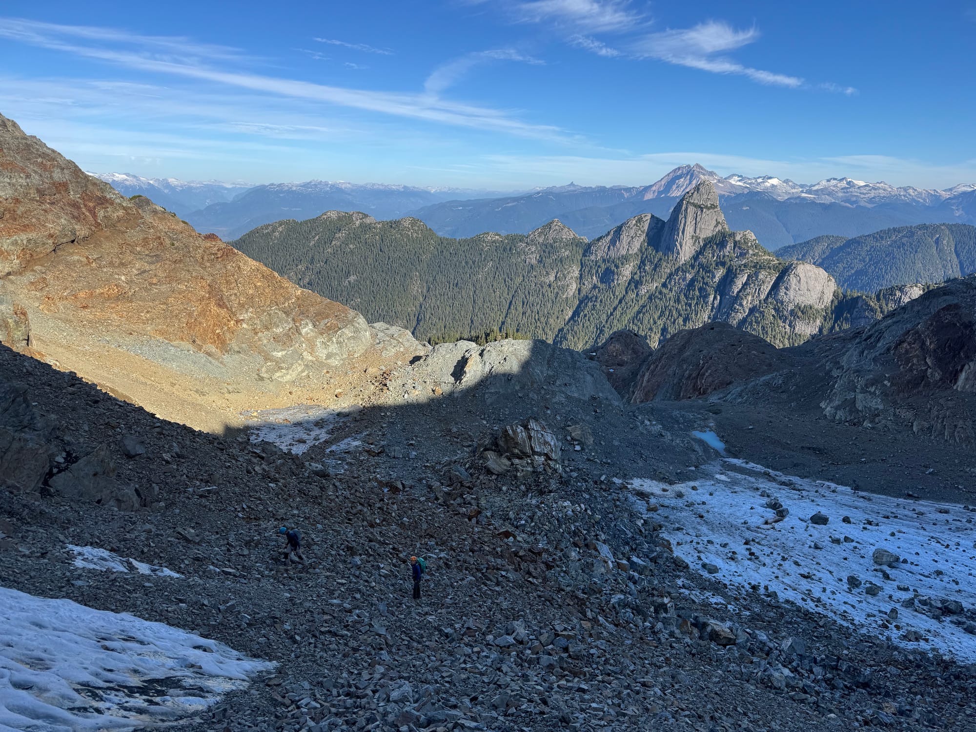
Soon we were on the ridge, which made the sketchy climb worth it. We were already quite high and we could see the Mountain Lake area and much of the North Shore below us.
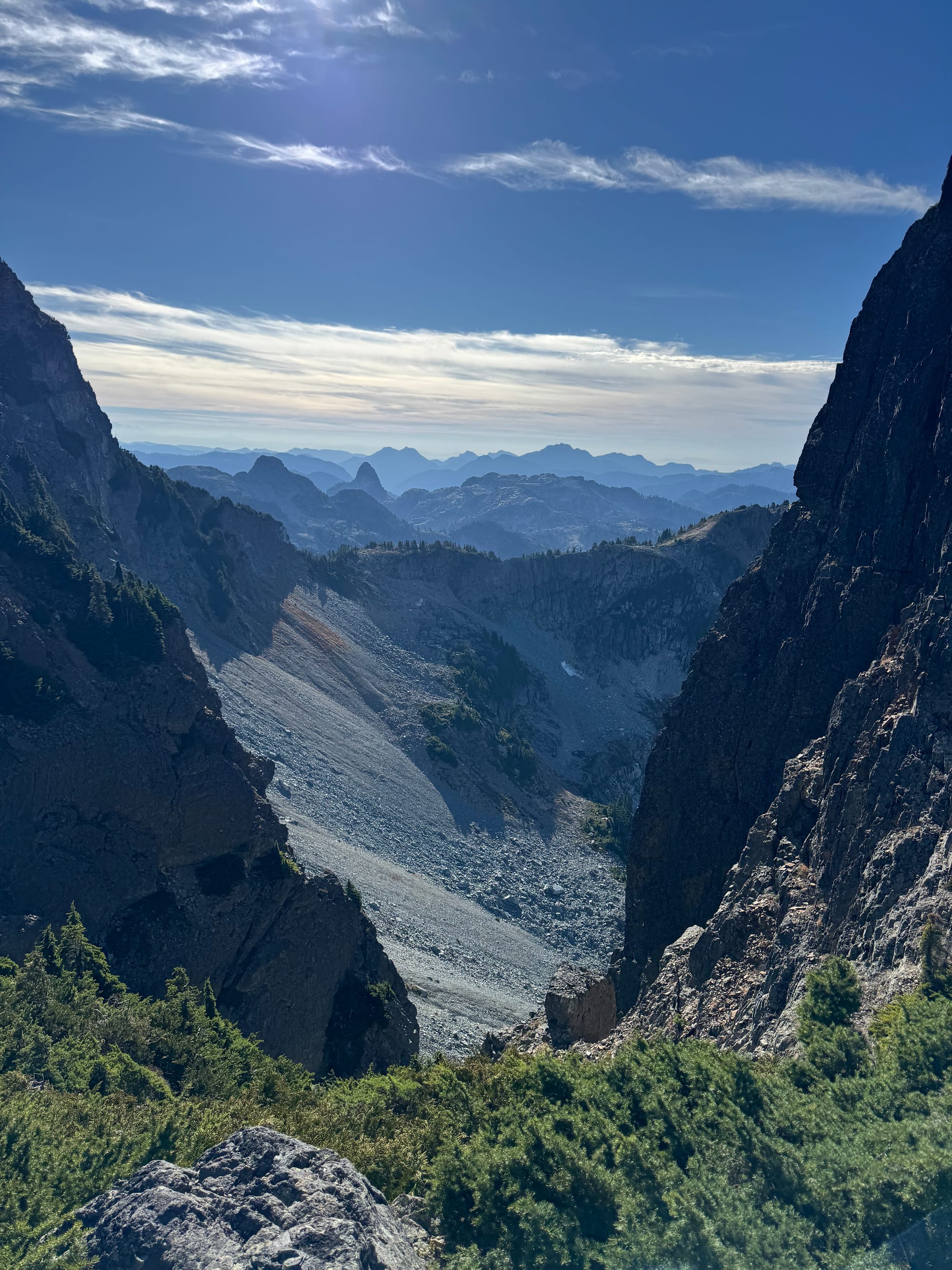
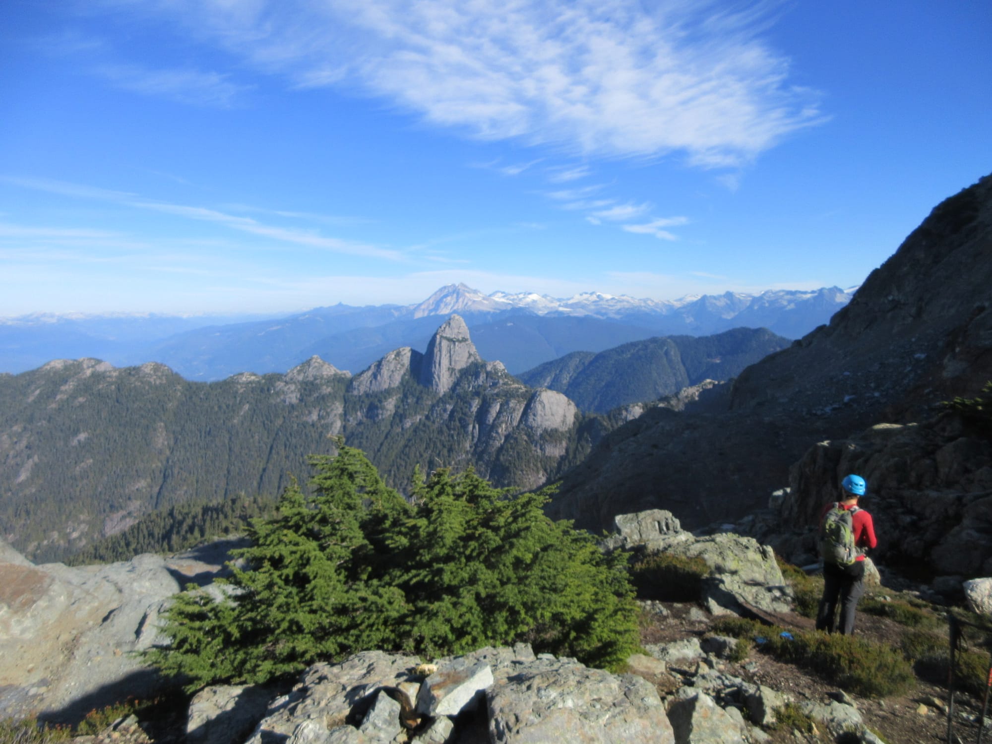
We continued east along the ridge. In no time we were at the base of the pink slab.
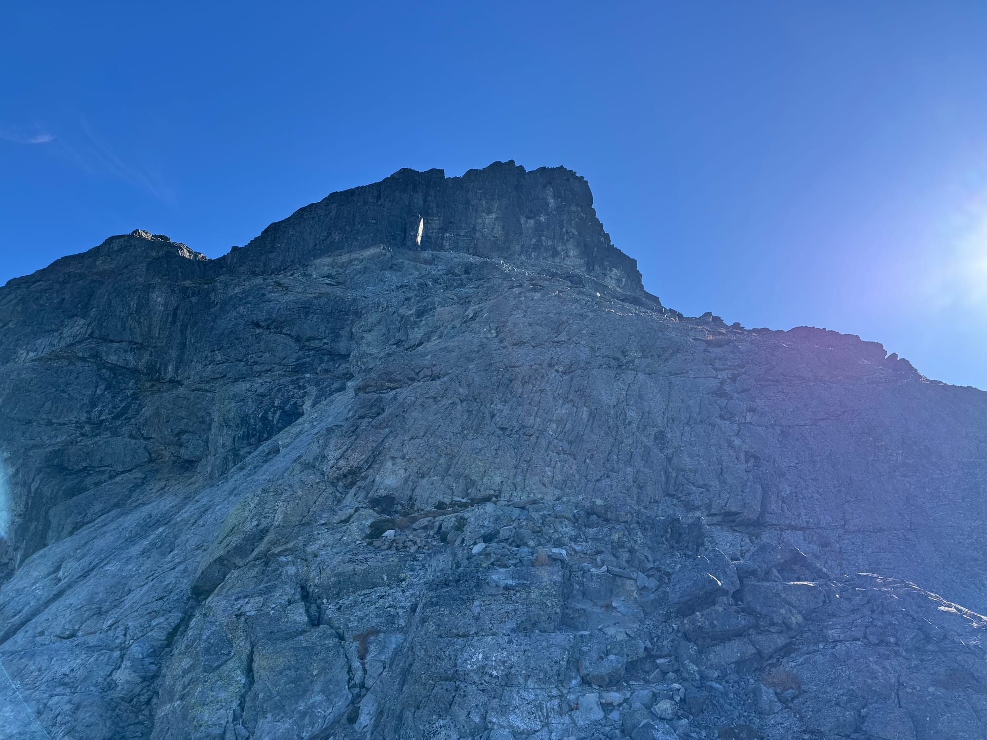
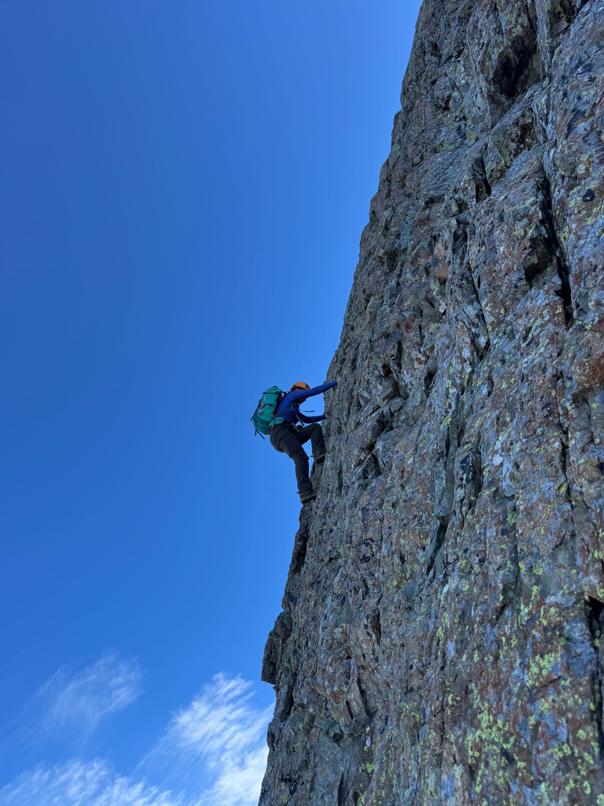
There are several possible routes here; the left side is less exposed but apparently more difficult, while the right side is apparently easier but is definitely a no-fall zone. We stayed to climber’s left, taking trick shots along the way, and soon reached the top.
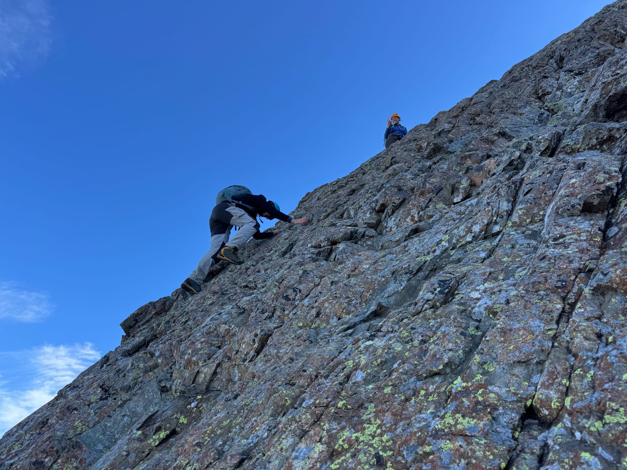
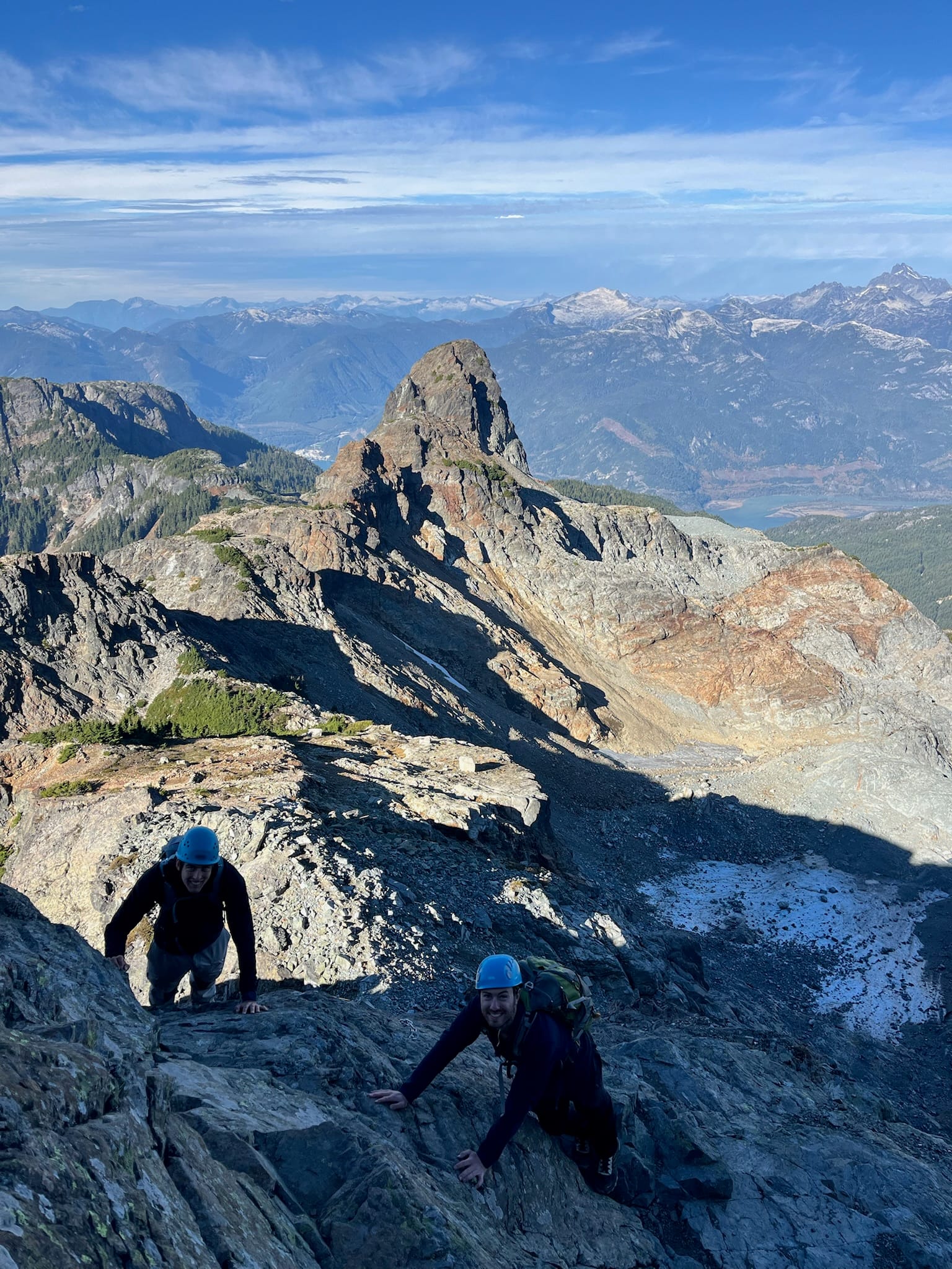
Past the slab we followed some cairns along the ridge, below some cliffs, then scrambled to the top of the ridge. The most well-traveled route was the best route, except where it wasn’t…
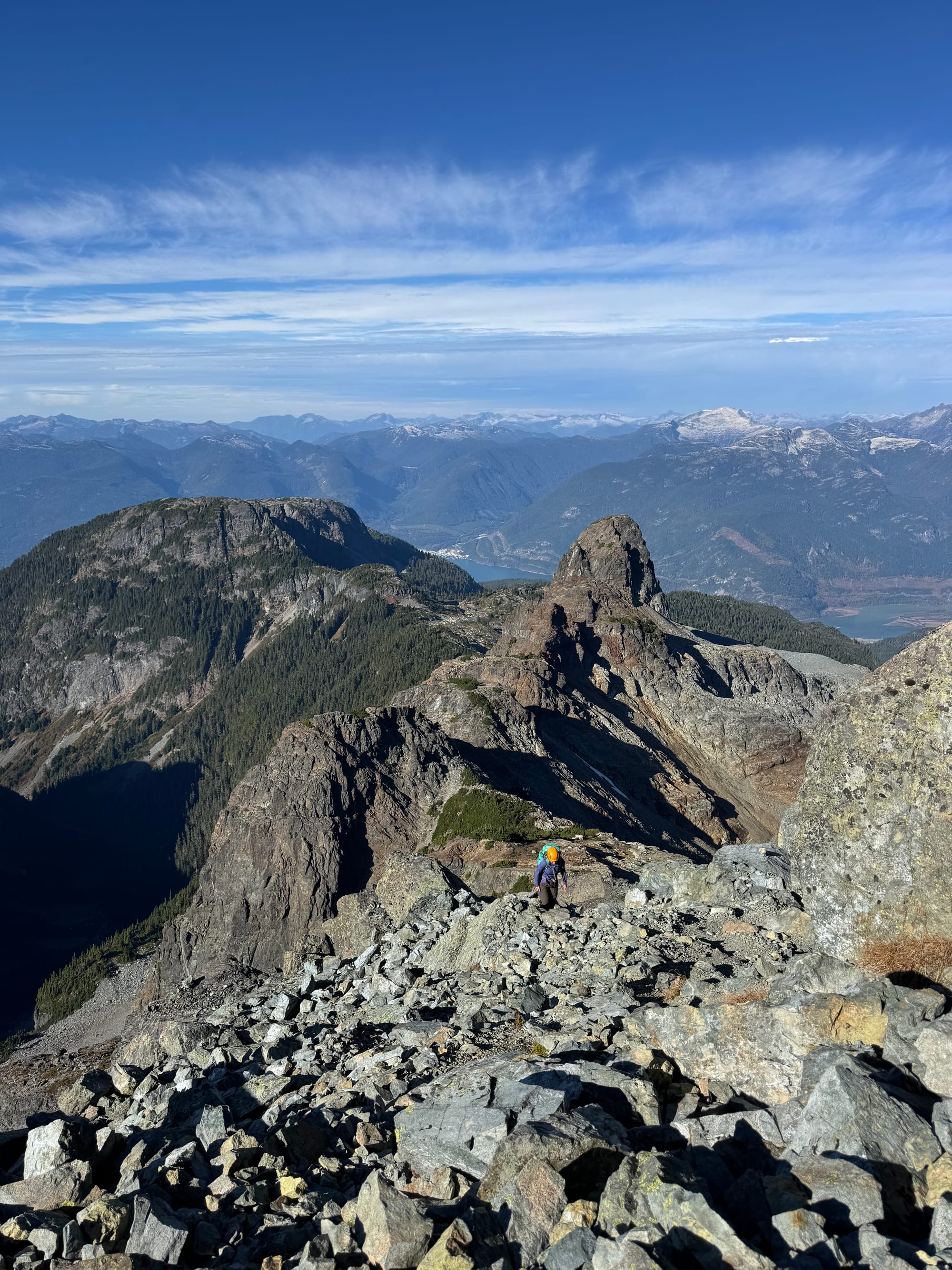
Soon we reached the base of the very imposing false summit.
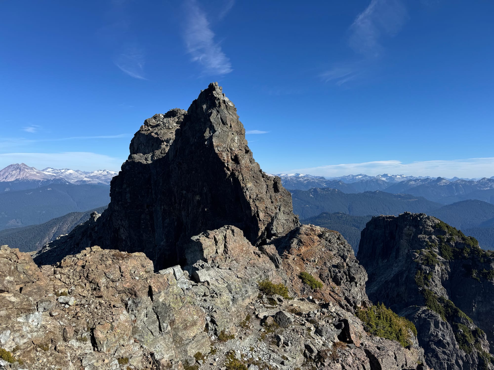
We traversed to climber’s right of the false summit, down a tree-filled gully, then reached a ledge.
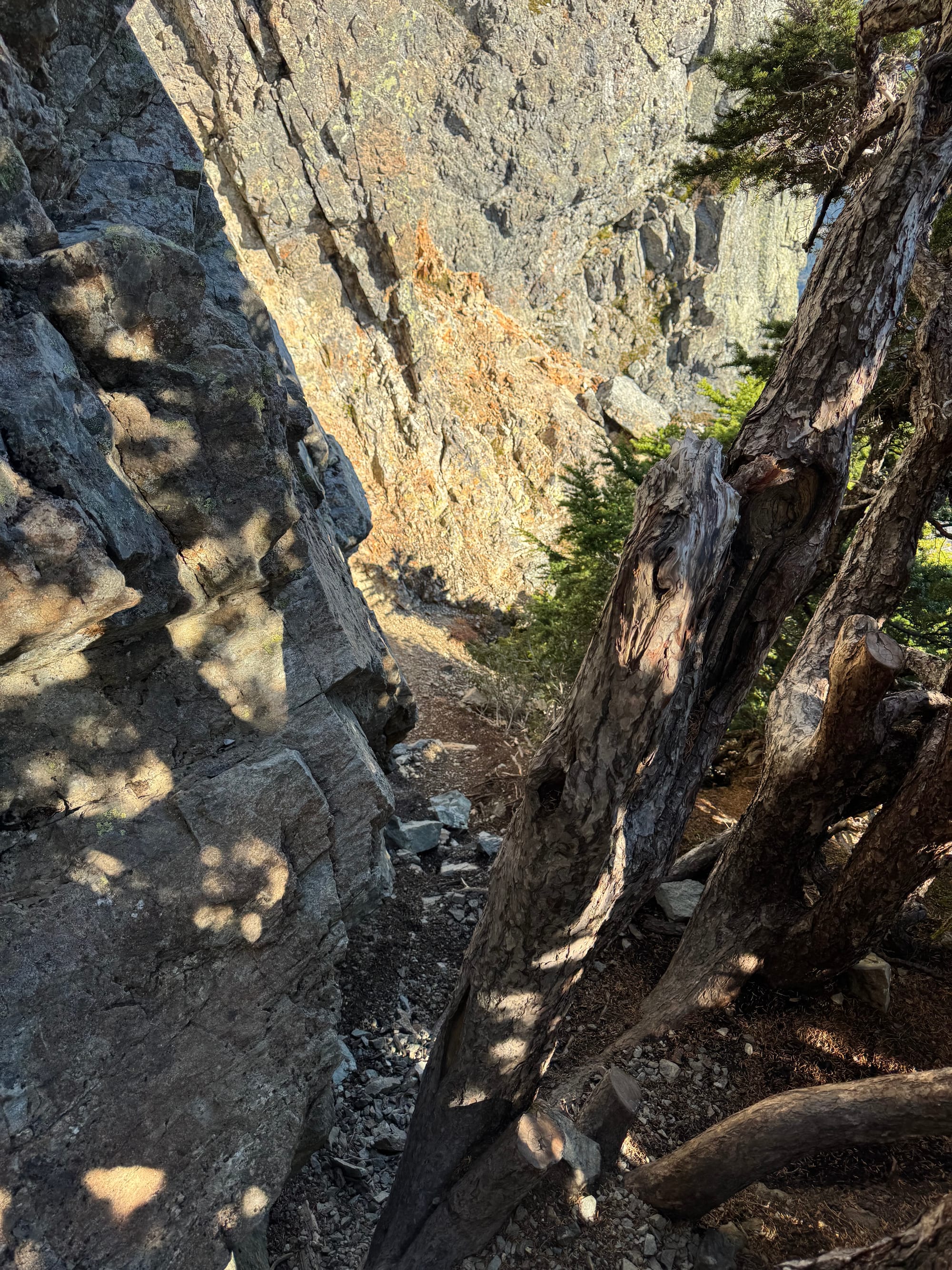
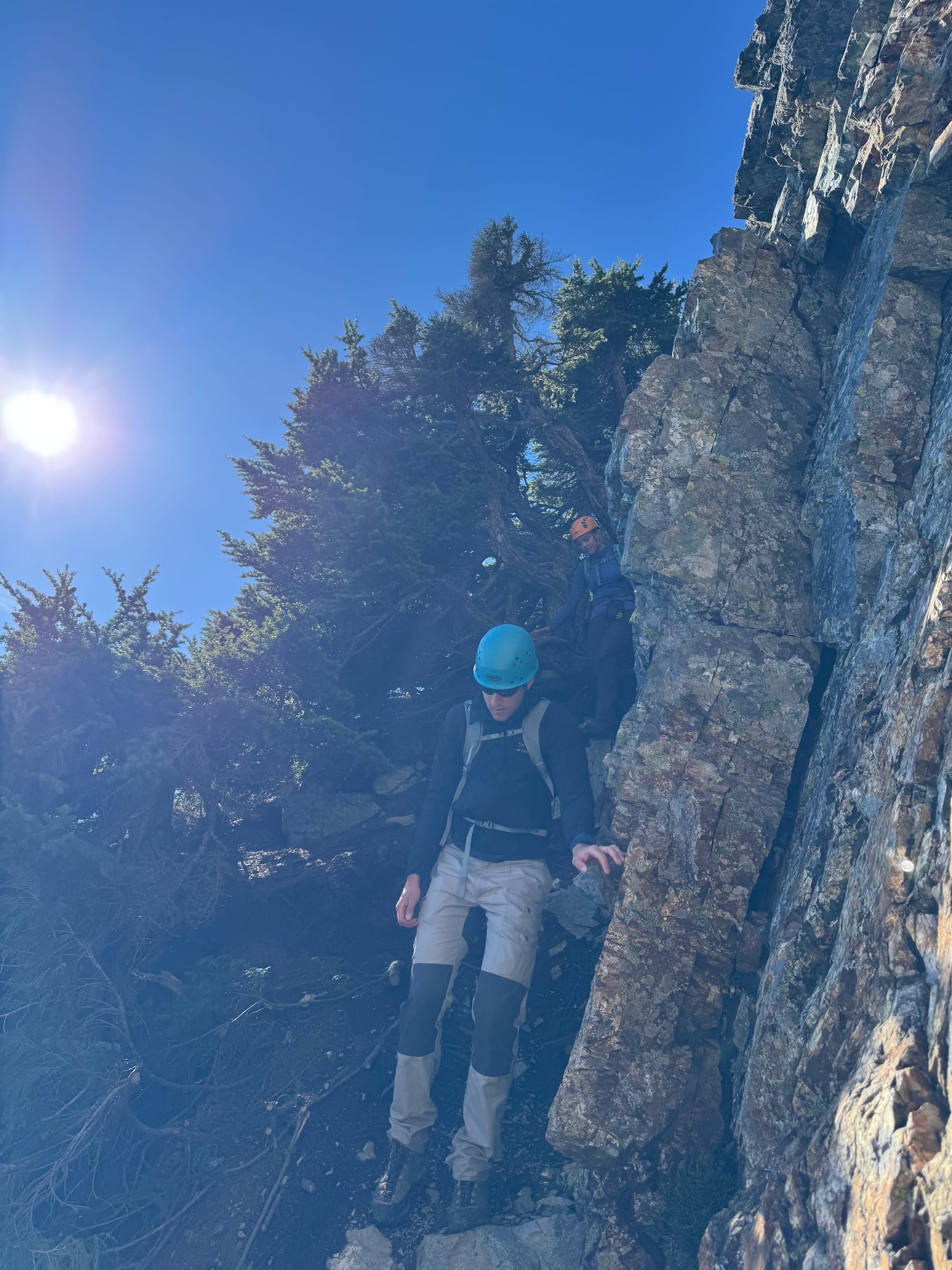
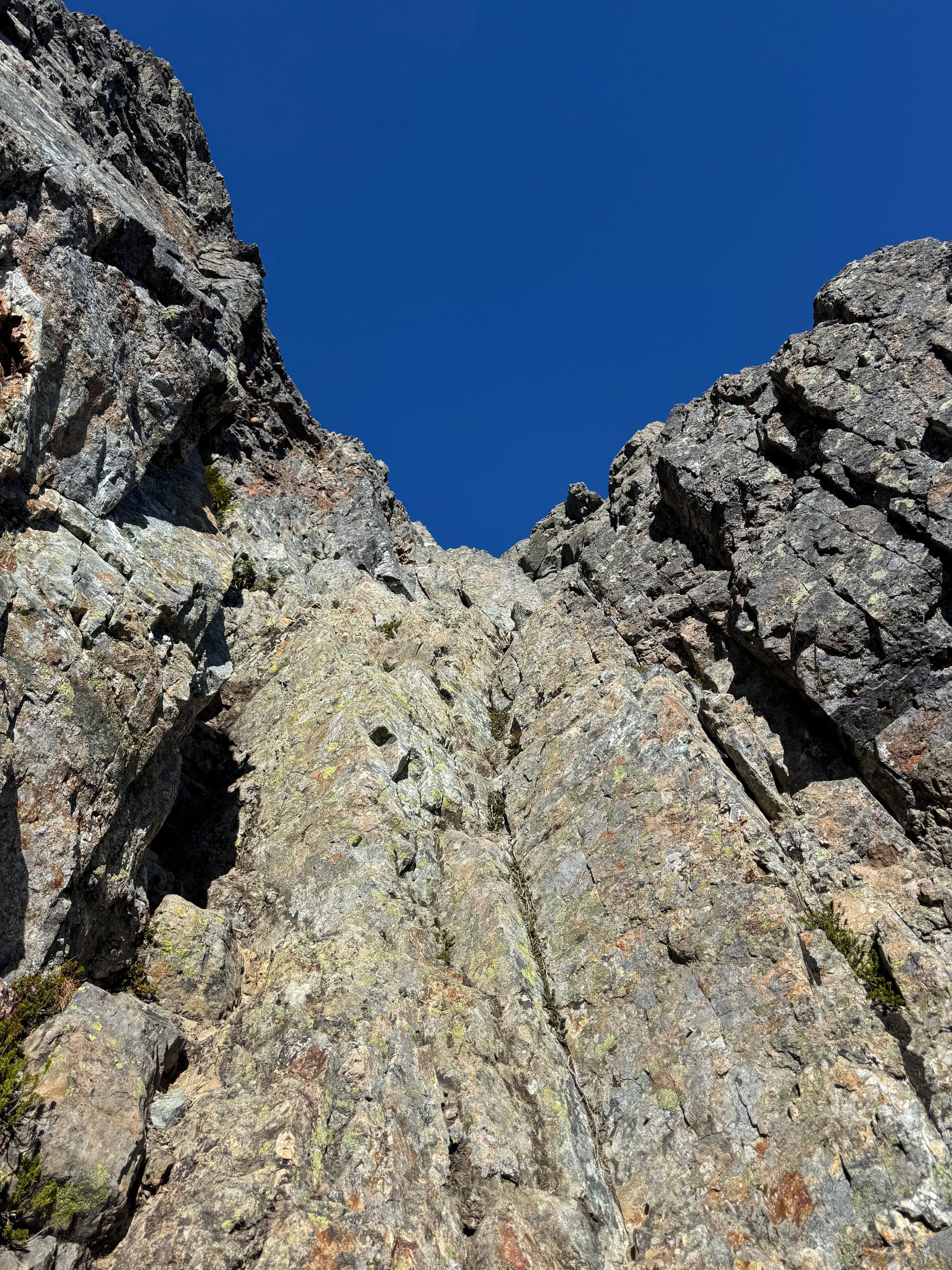
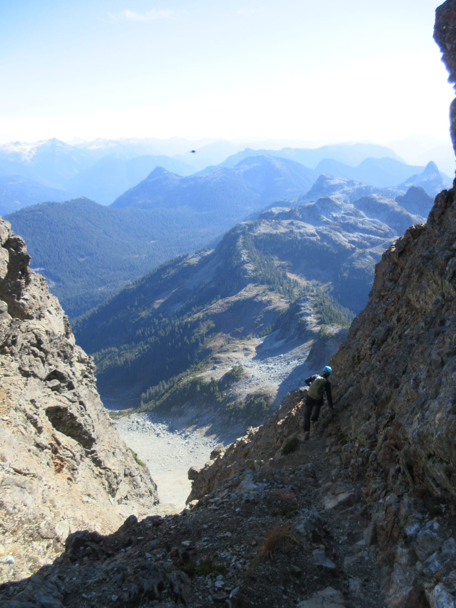
One more gully was the last obstacle before the true summit. It’s often described as harder than the Pink Slab, and it might have some more difficult moves depending on your route, but it’s less exposed and feels less sketchy. We made things easier by staying on the wall to climber’s left instead of dropping into the actual gully.
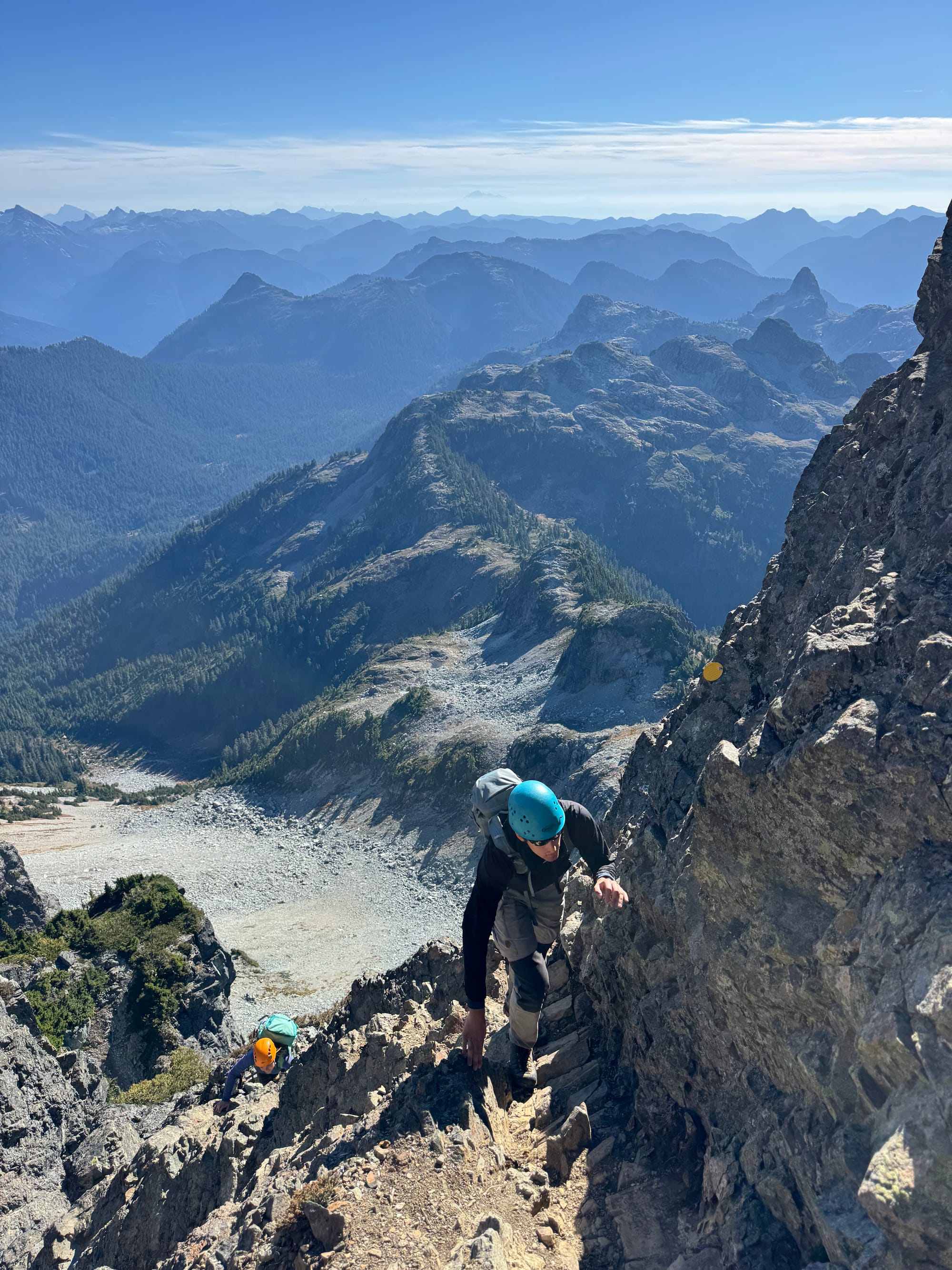
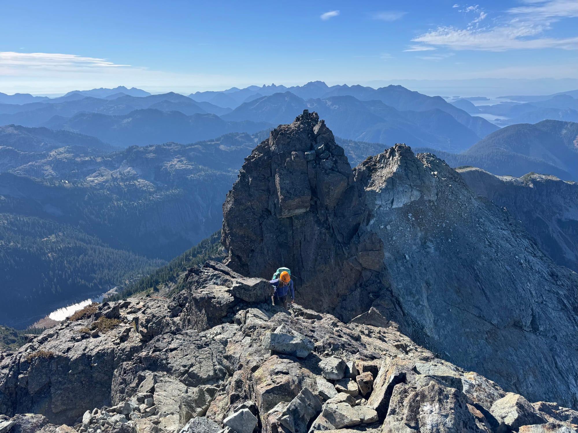
Once on the summit, the views were incredible, with the entire North Shore, Howe Sound, and most of the Lower Sunshine Coast laid out below us, Tantalus and Garibaldi on the horizon, and a bird’s eye view of Habrich. We took a long lunch break here.
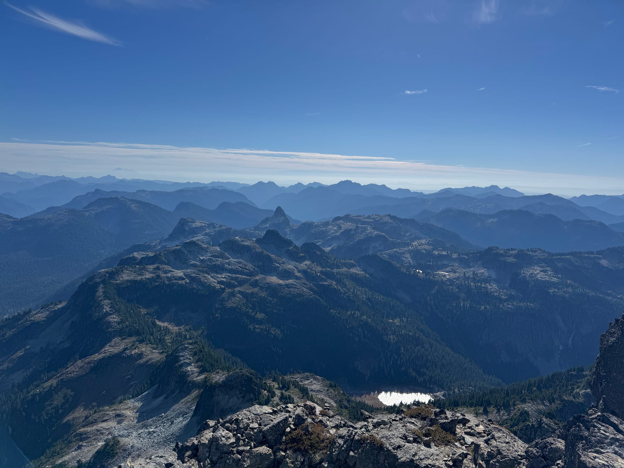
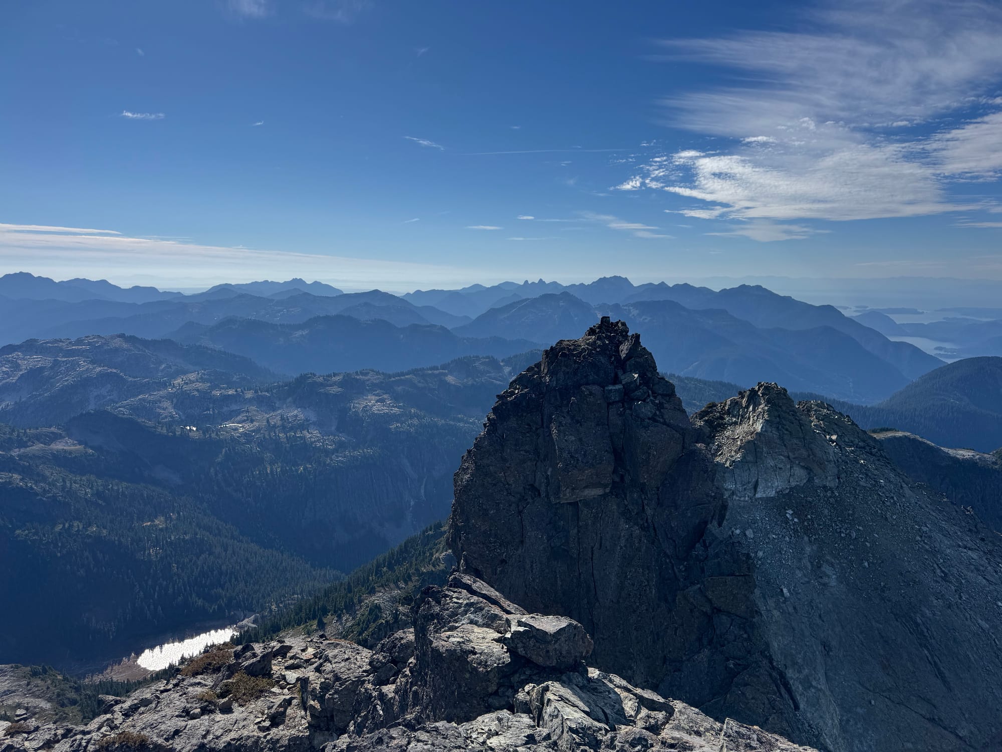
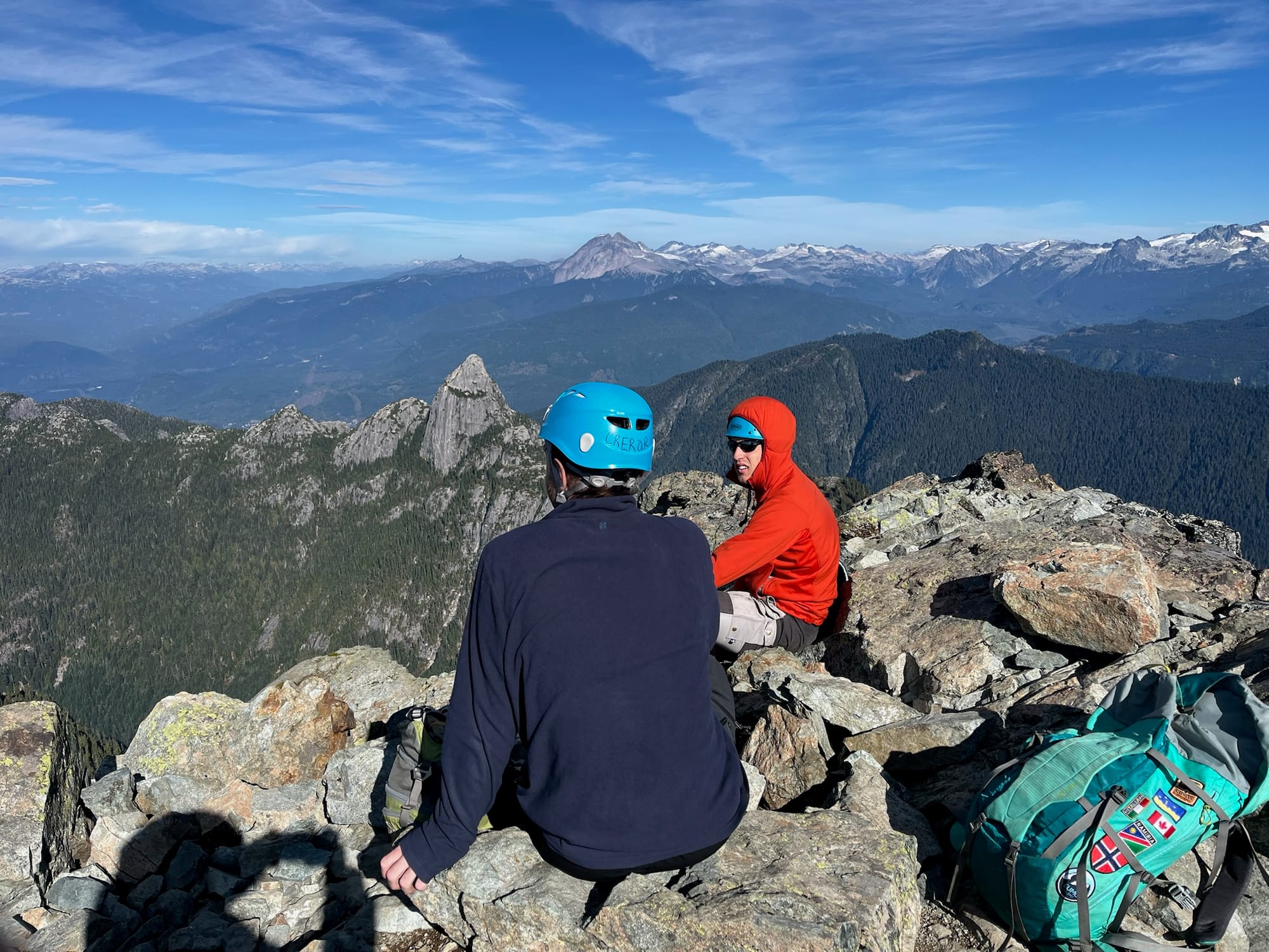
Eventually it was time to retrace our steps. The gully and ridge went without incident.
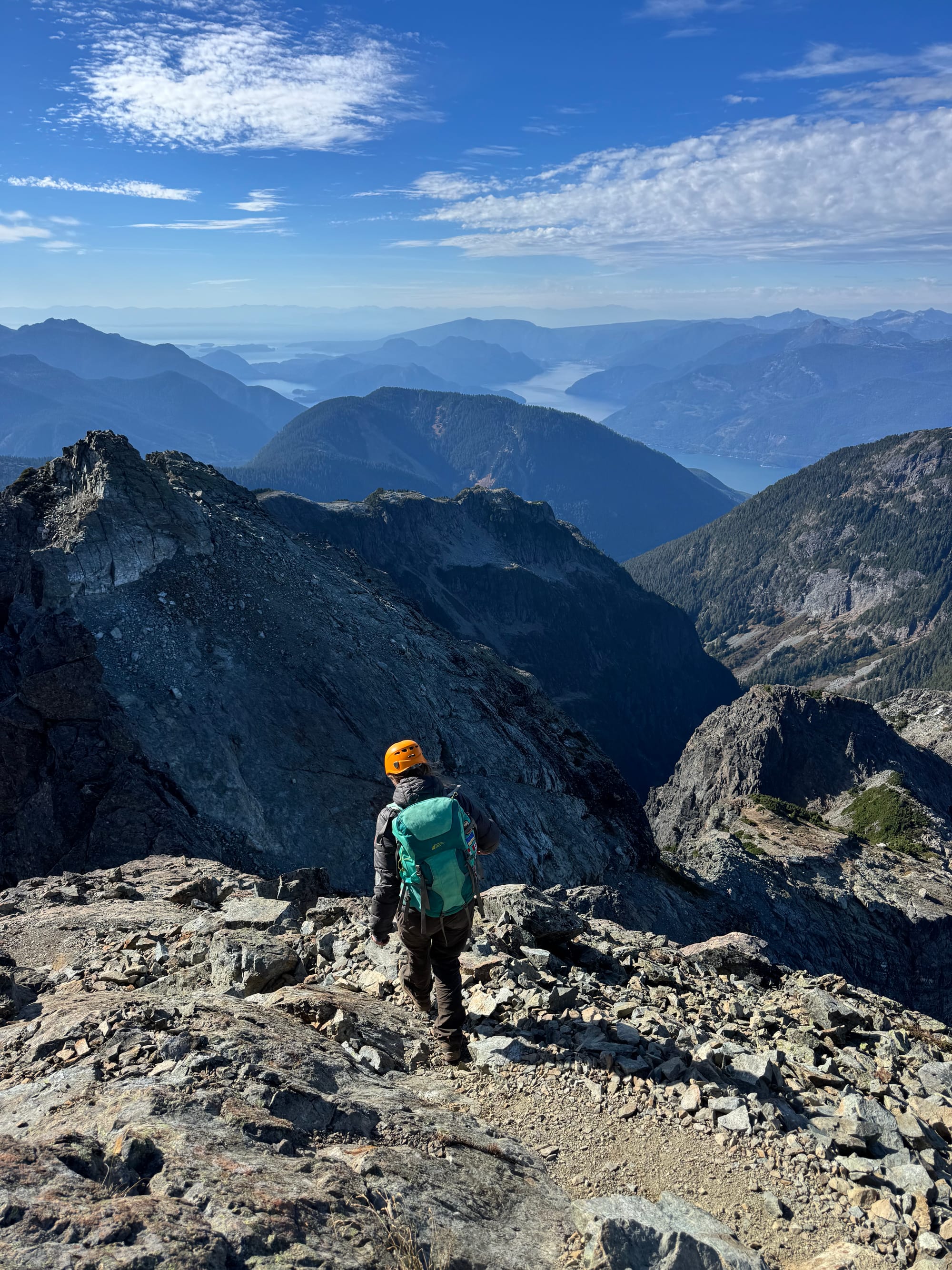
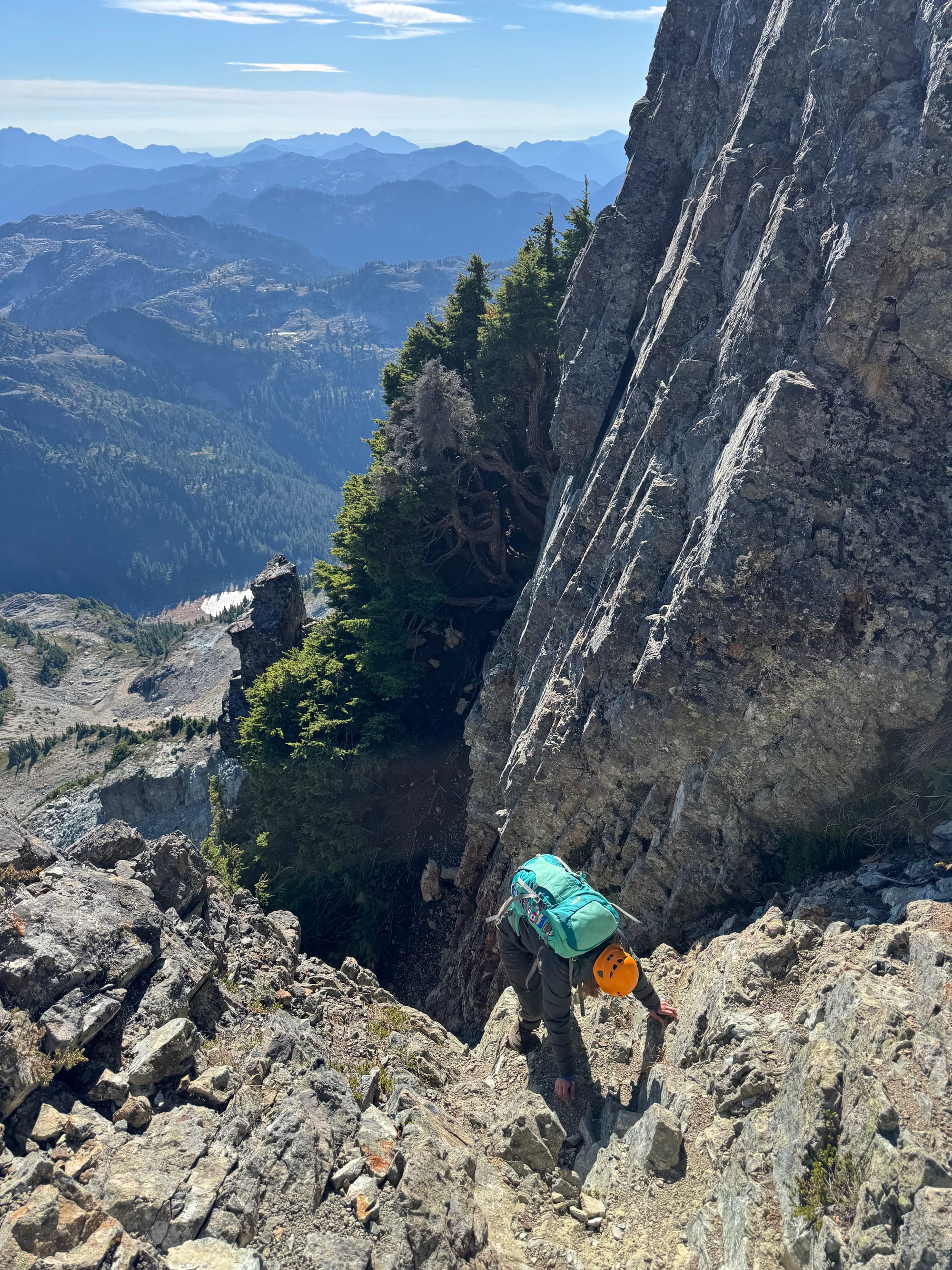
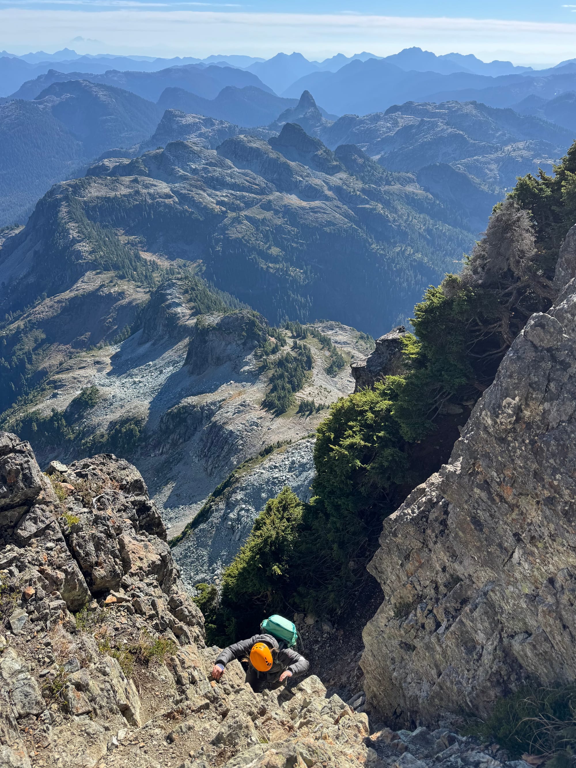
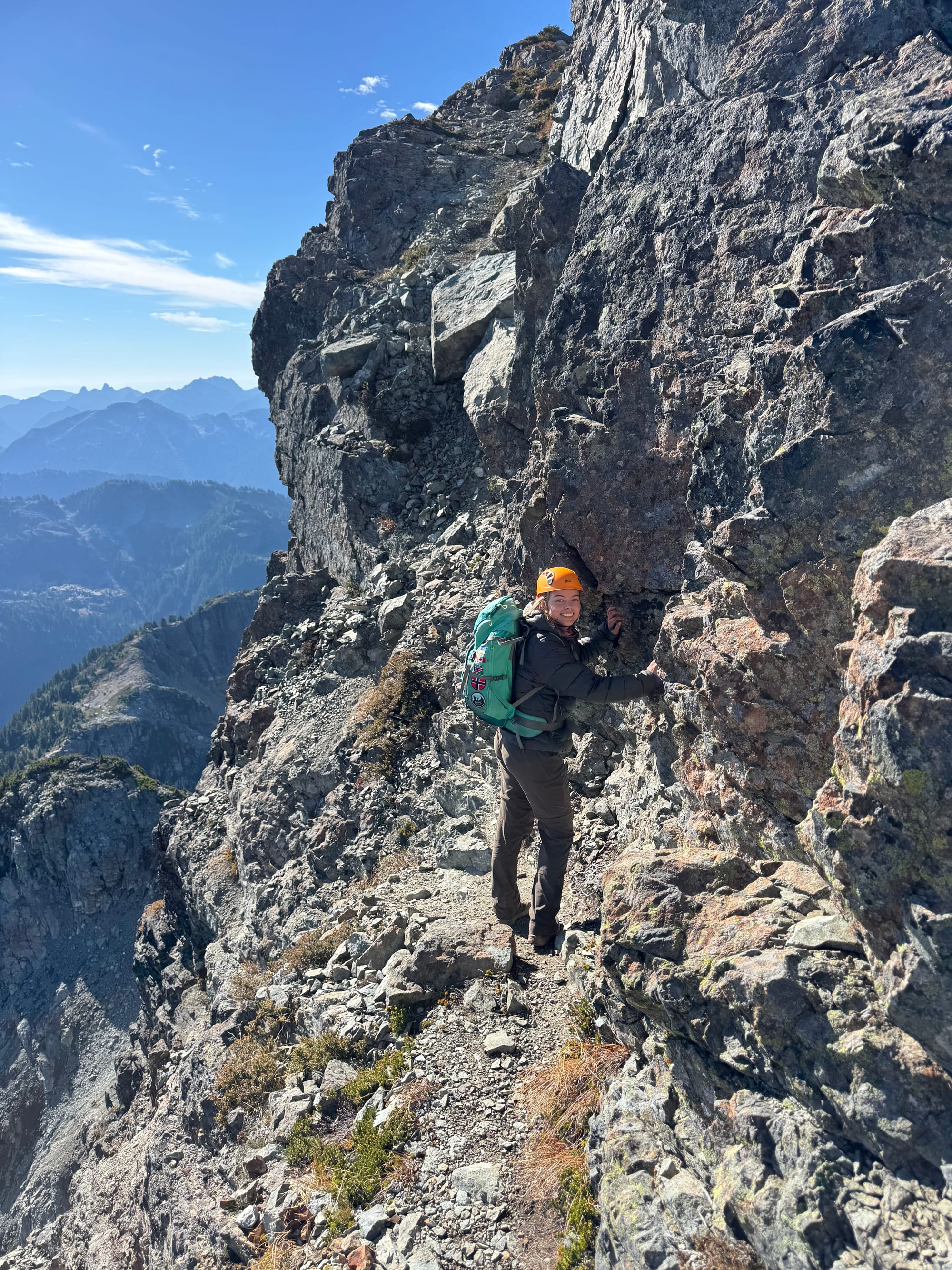
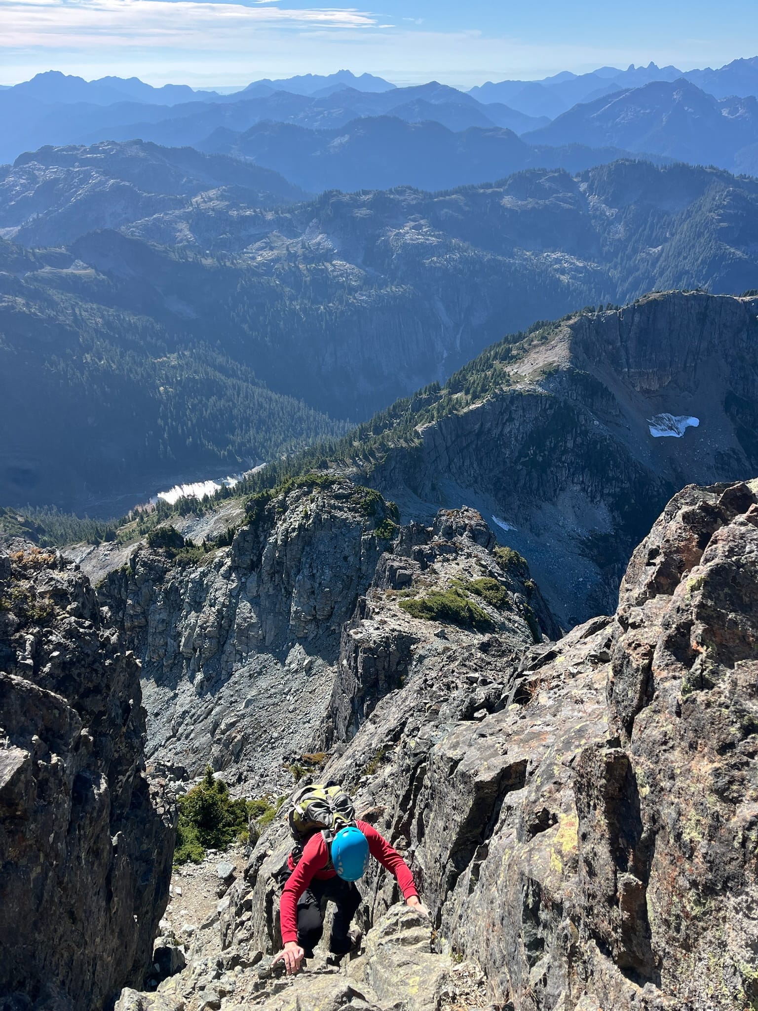
We donned climbing shoes to descend the Pink Slab, mostly to justify bringing them.
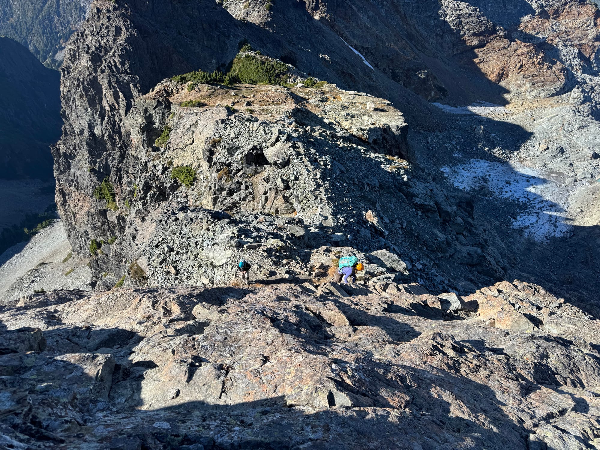
The loose rocks as we came down from the ridge were the scariest part of the descent.
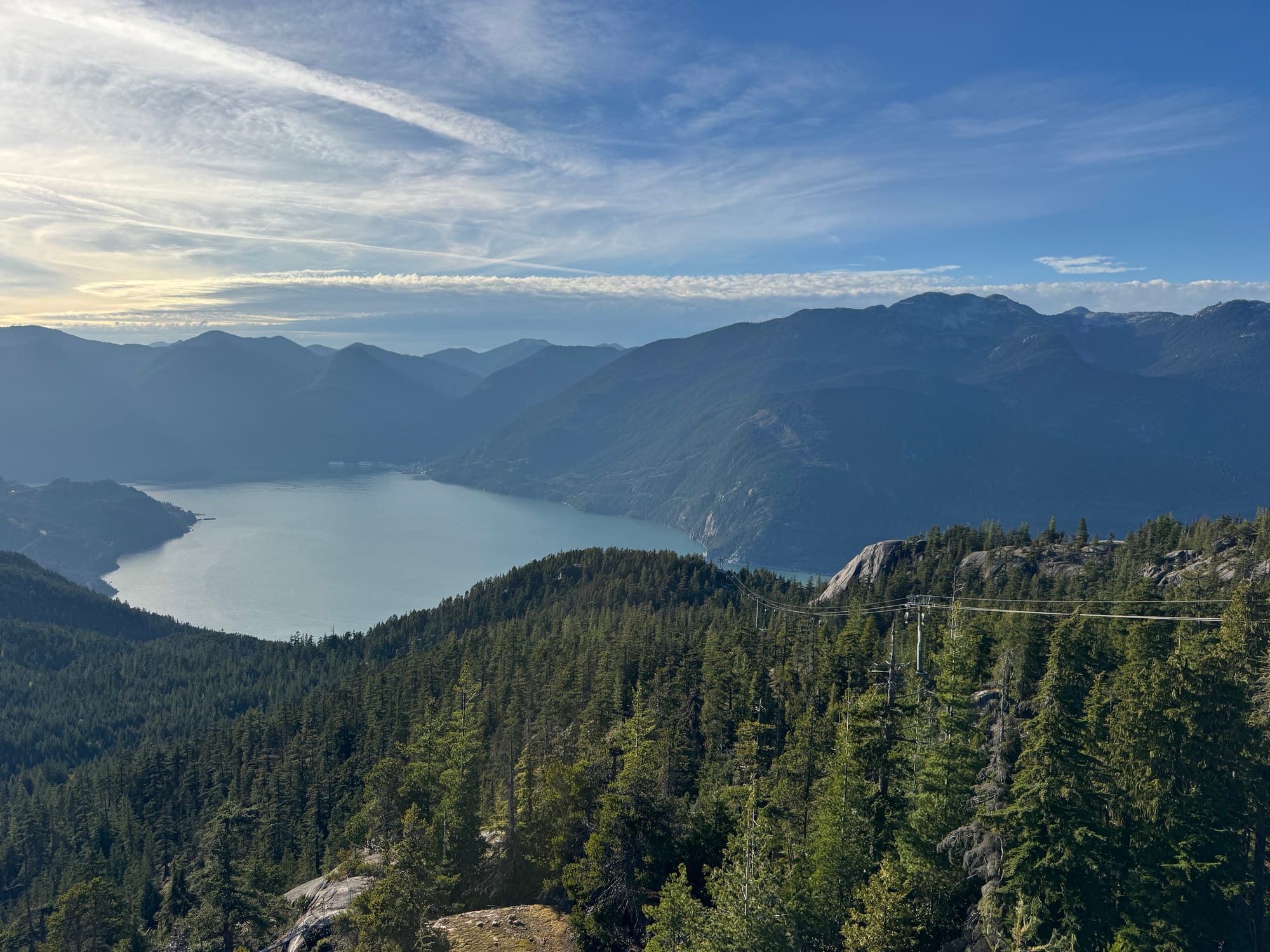
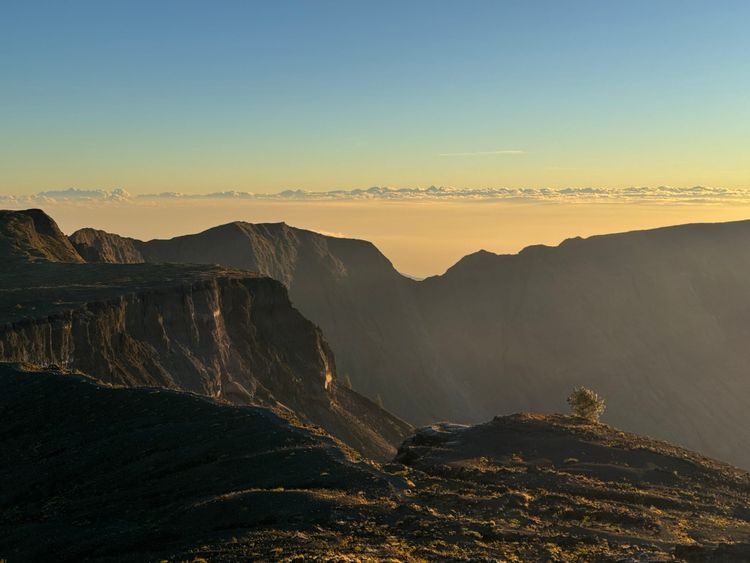
Past that it was a straightforward, although long, walk out. The mountains were beautiful in the late October sunlight. We took a break at the gondola before heading back along the road.
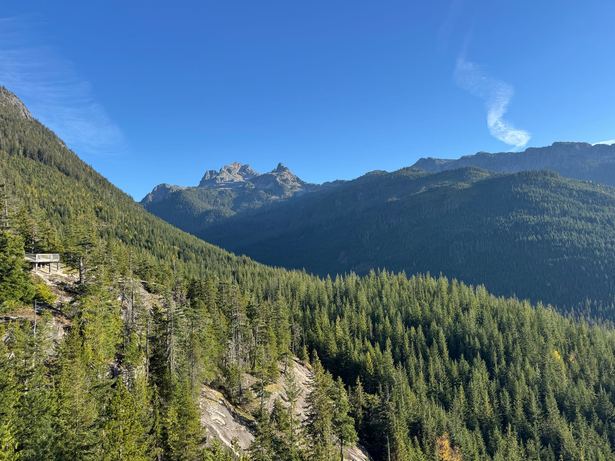
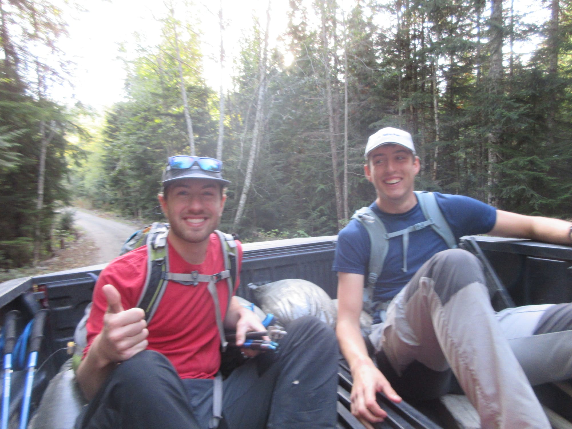
A pickup truck passed us. We jokingly stuck our thumbs out but they actually offered us a ride! This let us skip the last kilometre or so of walking. In no time we were at the parking lot.
Sunset was very early but we’d somehow finished well before dark. The evening light on the Sea-to-Sky was as beautiful as ever.
I thought this would be the last alpine scramble of the year, but this fall’s unusual super-El-Niño weather allowed for some more trips…
Member discussion