Sockeye Horn/Mystery Peak and Beaujolais Peak
Date: September 18-20, 2026
Distance: 30km (with Brown Molar detour)
Elevation gain: 2000 m (with Brown Molar detour)
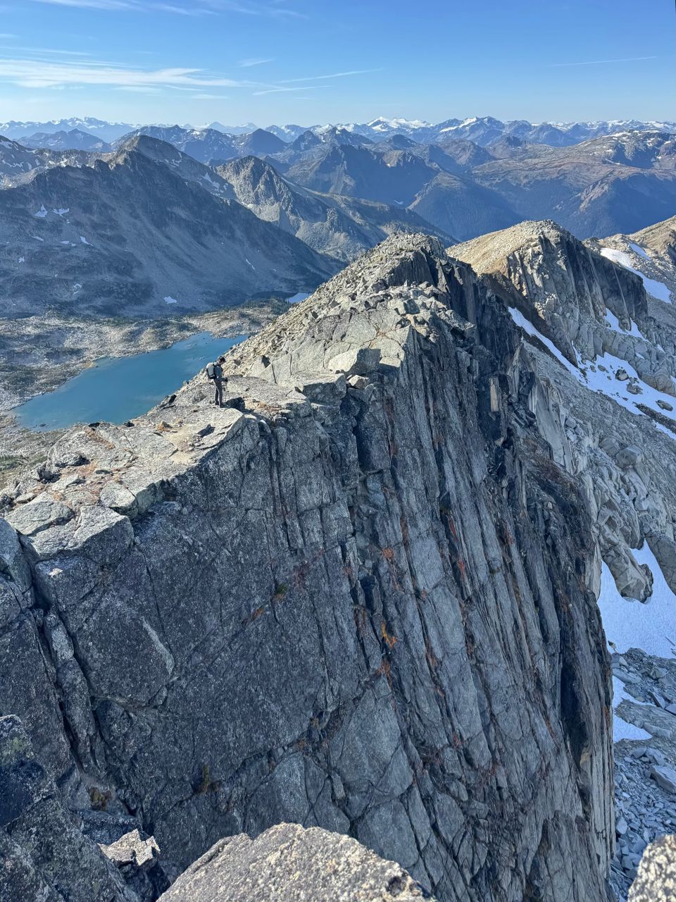
These are two peaks in a rarely visited area almost 2 hours north of Pemberton. Sockeye Horn is a class 3 scramble, while Beaujolais is class 3 from its most popular route, but we took a much less technical class 2 route instead. Both peaks were surrounded by pleasant alpine meadows. Sockeye Horn seems to be a Bivouac.com name: it’s called “Mystery Peak” in the Scrambles guide.
Access is from the Hope Creek FSR off the Hurley FSR. In 2026, rumours circulated online that the Hope Creek FSR was going to be deactivated, so visiting this area became a priority, but as of September 2026 it’s still open. I organized a VOC trip to climb Sockeye Horn and Beaujolais in a weekend. I’d tried twice before, but both times the weather forced us to change plans. This time, the stars finally aligned and we had perfect weather all weekend.
I picked people up from UBC after class, drove to North Vancouver where we rearranged the car groups, then headed north. We met the other car group at dinner in Squamish. As usual, we felt we were almost there when we reached Pemberton, but there was still almost two hours to go. The Hurley was bumpy as usual, then we headed southeast on the Hope Creek FSR which was somehow better than the main road. We then went about 2km up a spur road before the alders closed in and a cross-ditch forced the minivan to stop. We set up camp at a hairpin turn with a sufficiently large flat area for several tents. Counting the dinner stop and car faff, it took us over 6 hours to get from UBC to the campsite.
The next morning, we woke up at sunrise and started hiking along the road. A 4x4 driver with a high tolerance for pinstriping could make it a couple kilometres further.
We soon reached the actual trailhead, marked with flagging. The trail was in much better shape than I’d expected. There were two creek crossings within the first kilometre, but at this time of year the creeks were low and we stayed dry.
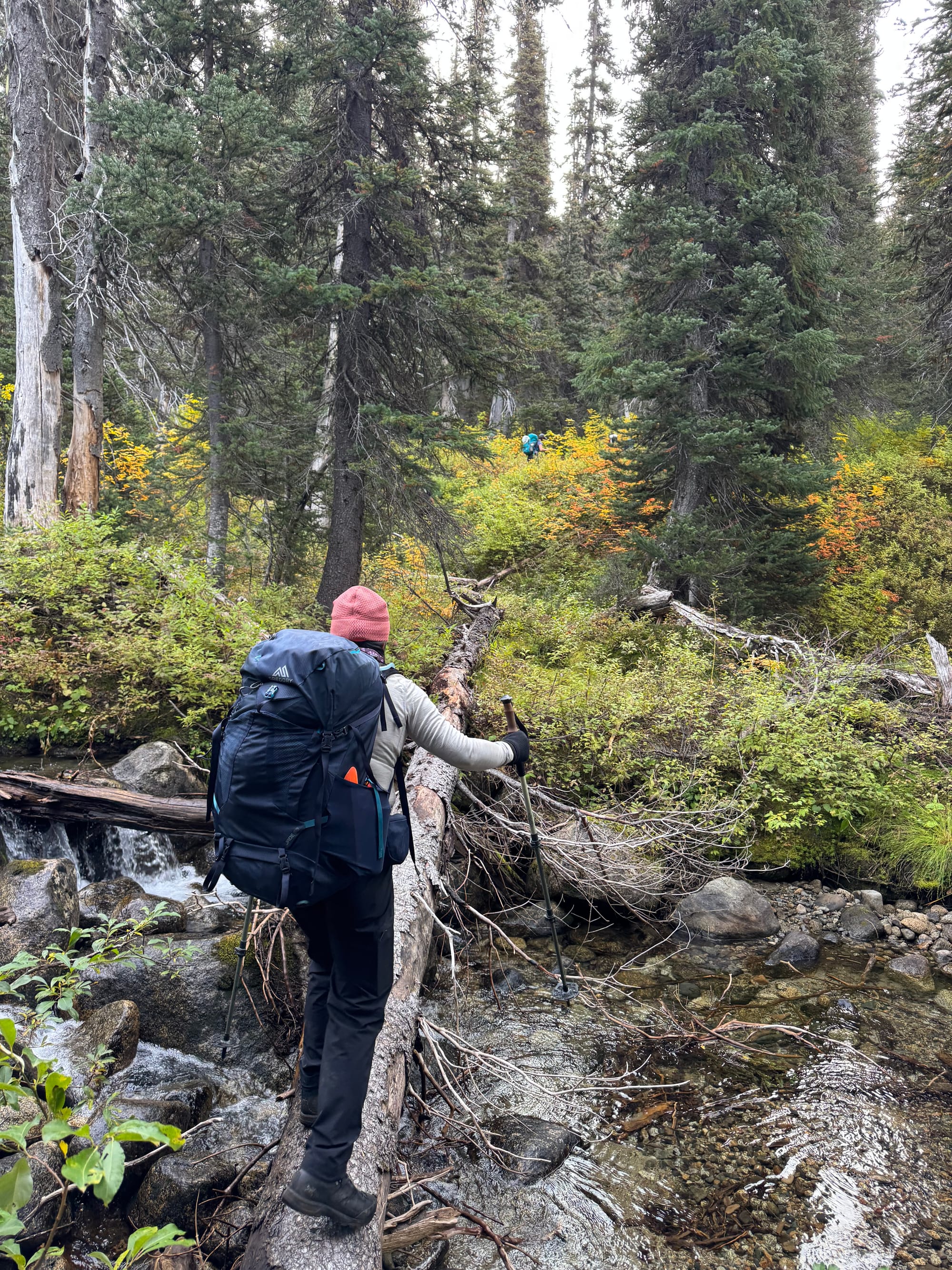
We started climbing up the slope, admiring the fall colours and glimpses of mountains through the trees.
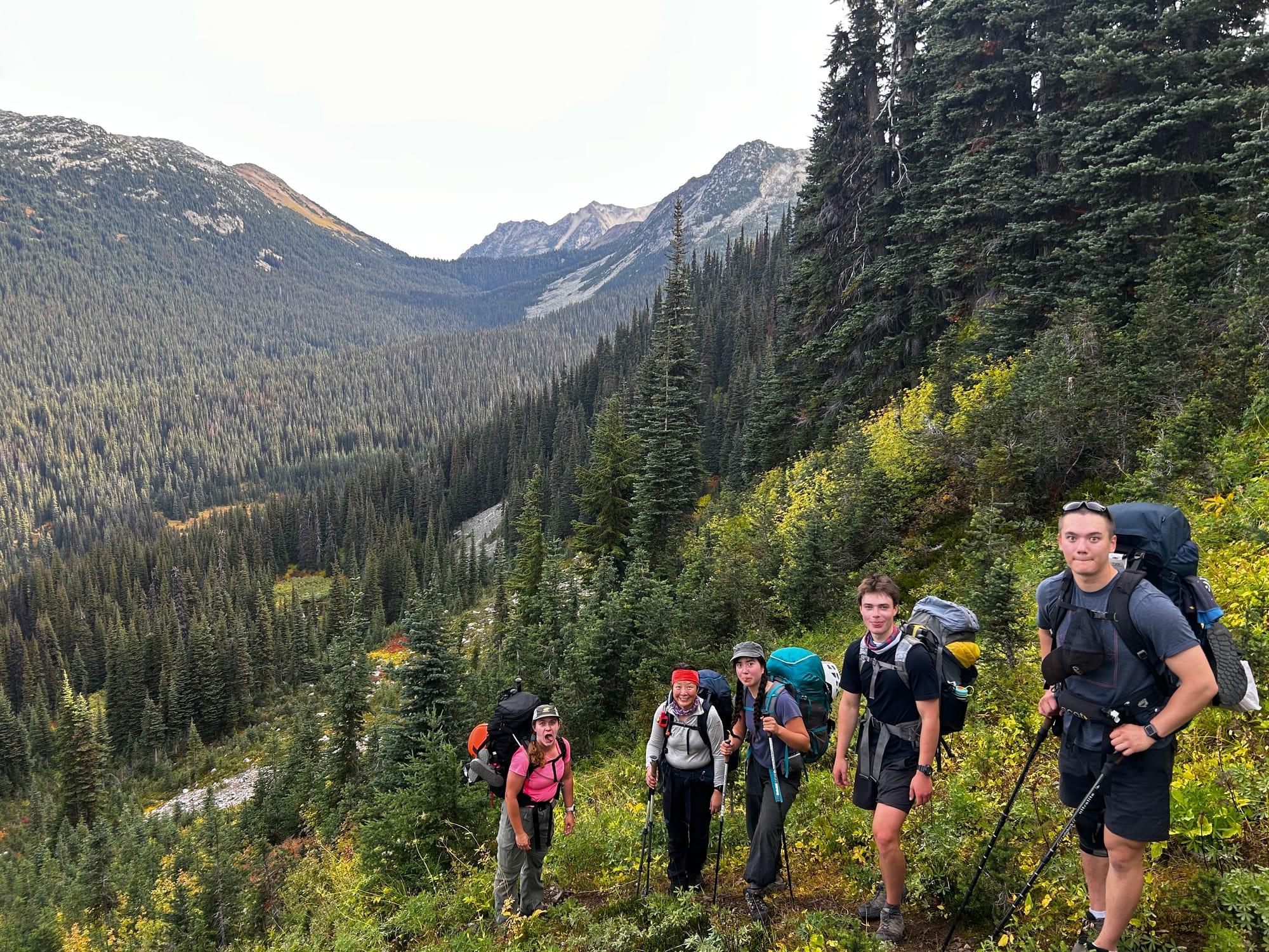
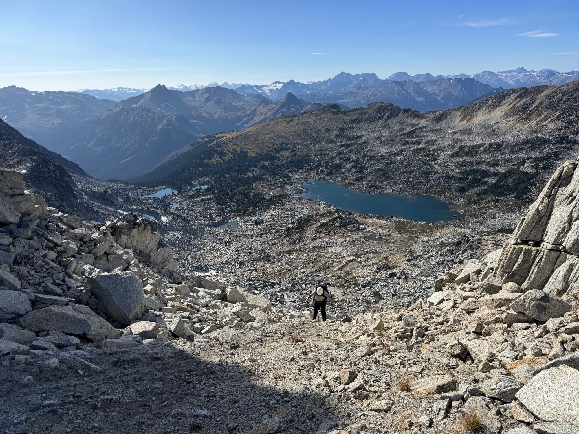
Soon we reached the Brown Molar-Merlot col, where the trail forks. We headed east along a wide cleared trail, then uphill along the southwest ridge of Merlot. The trail faded out, so we traversed around the valley through some beautiful alpine meadows. The red and yellow leaves were stunning.
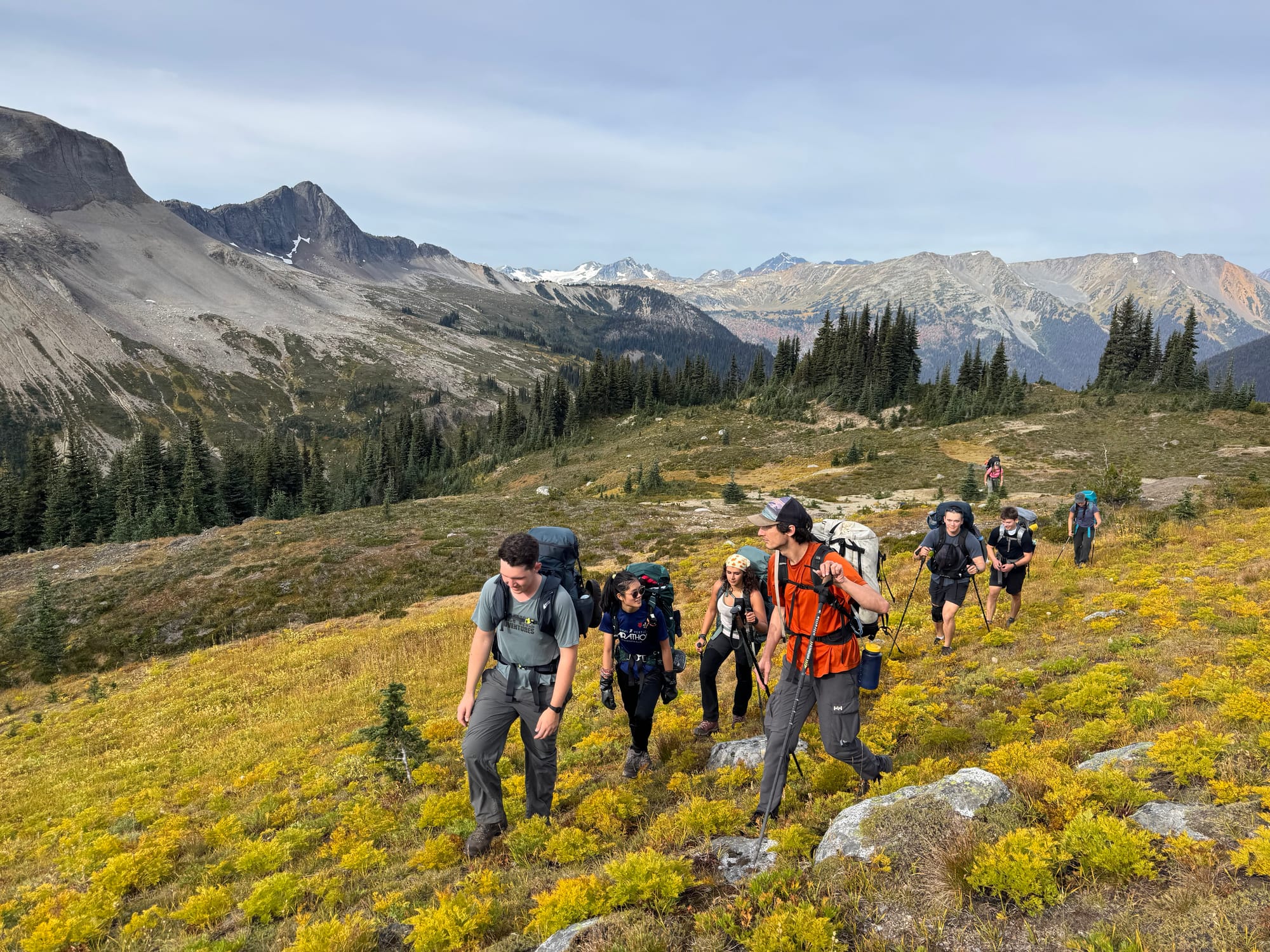
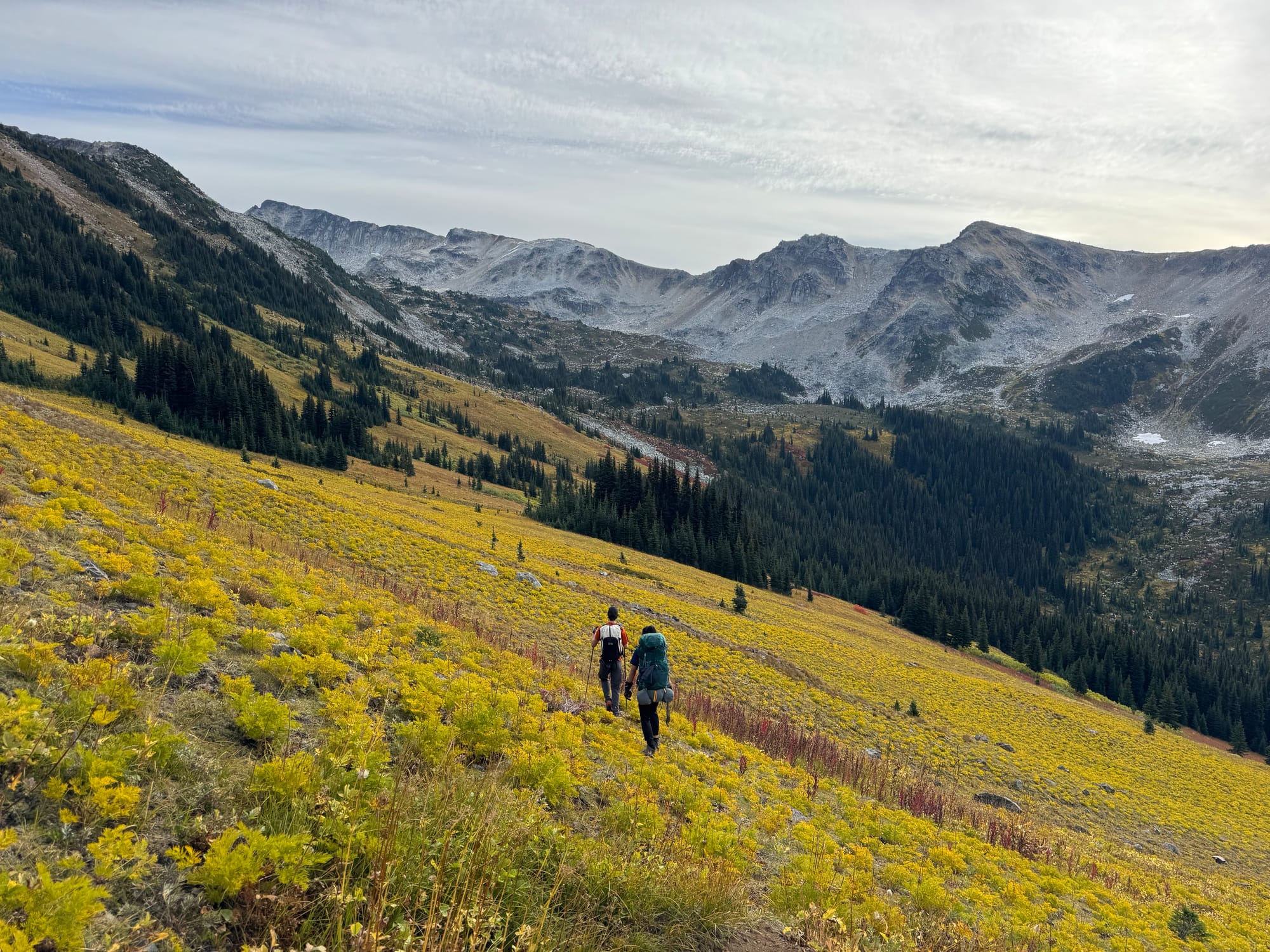
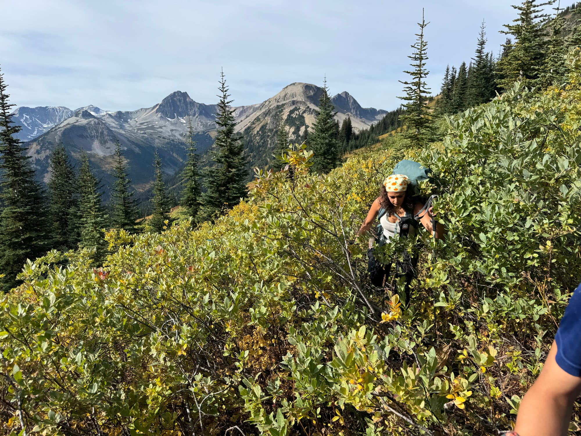

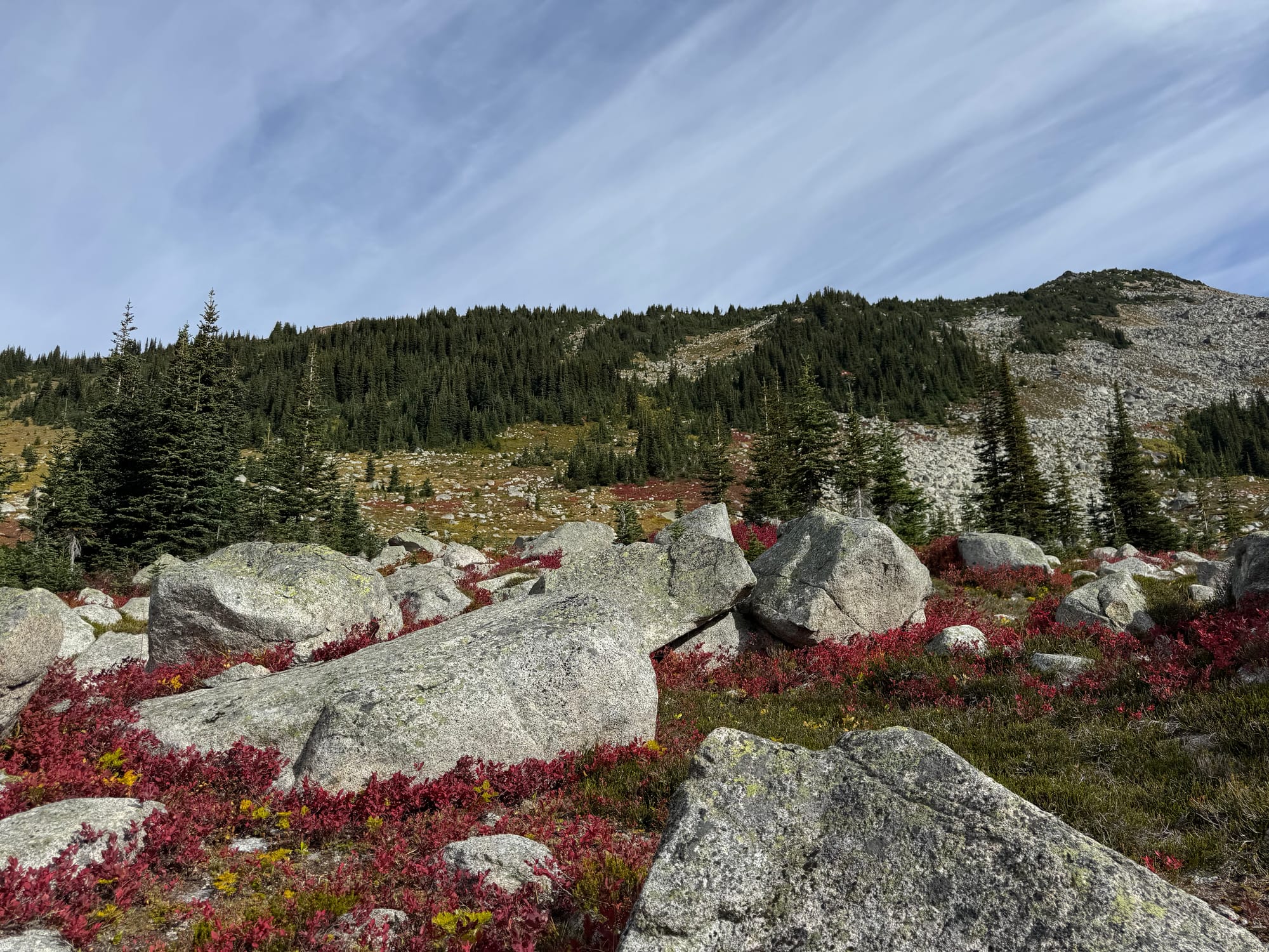
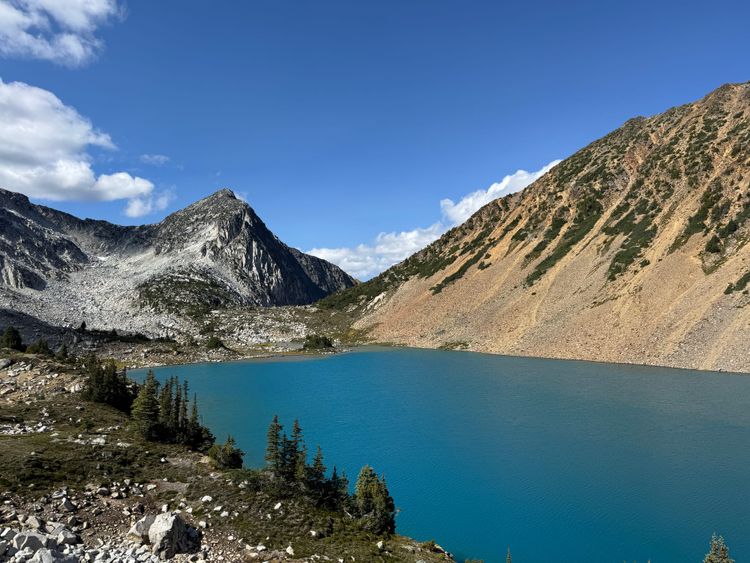
We took the path of least resistance around the southwest ridge of Beaujolais, then headed northeast into the valley between Beaujolais and Mystery. Soon we reached the lake at the head of that valley. We looked around for a campsite and found a reasonably flat area on the hillside. (We later found a flat area at the north end of the lake which would have been a much better campsite. Oh well.) Lunch was eaten here and we set up camp.
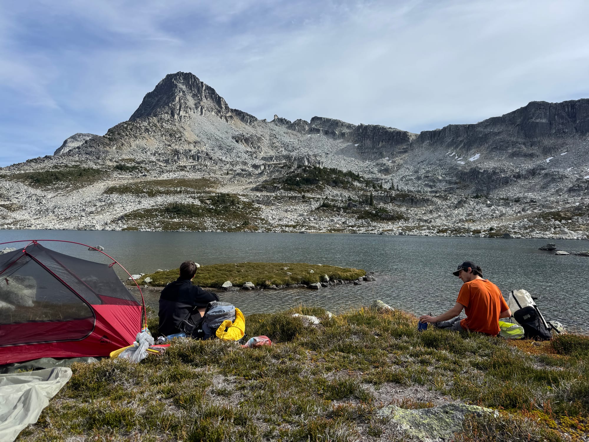
After lunch we headed east to climb Mystery Peak. We stashed our food in a grove of trees a hundred metres away. We went around the next corner to realize that someone's tent was right next to our food stash! We quickly moved it much further away.
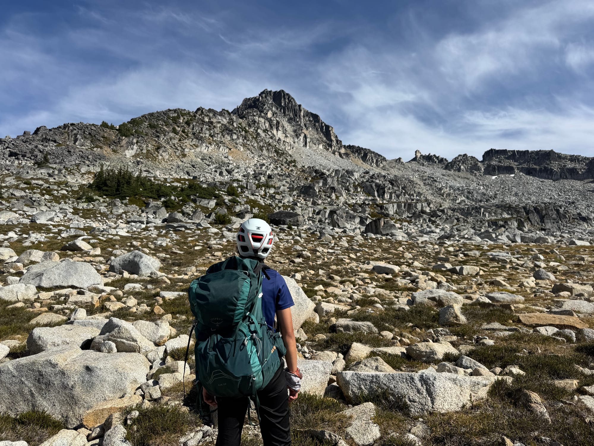
Our group donned helmets and started climbing the boulder field, which split into several smaller boulder fields.
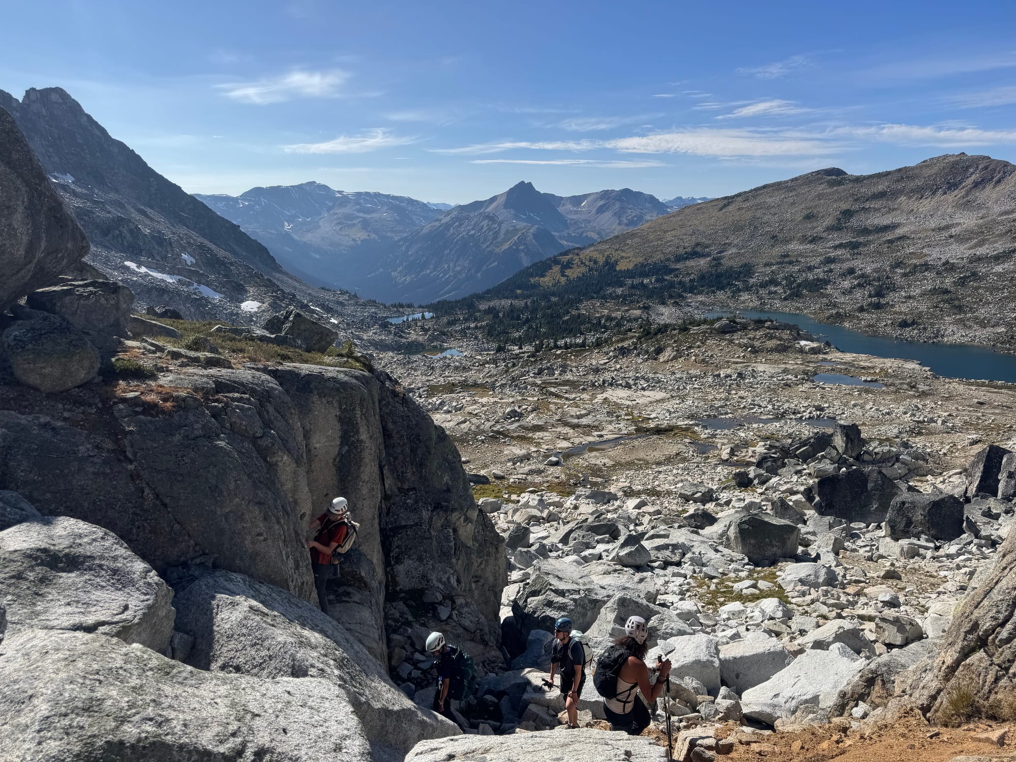
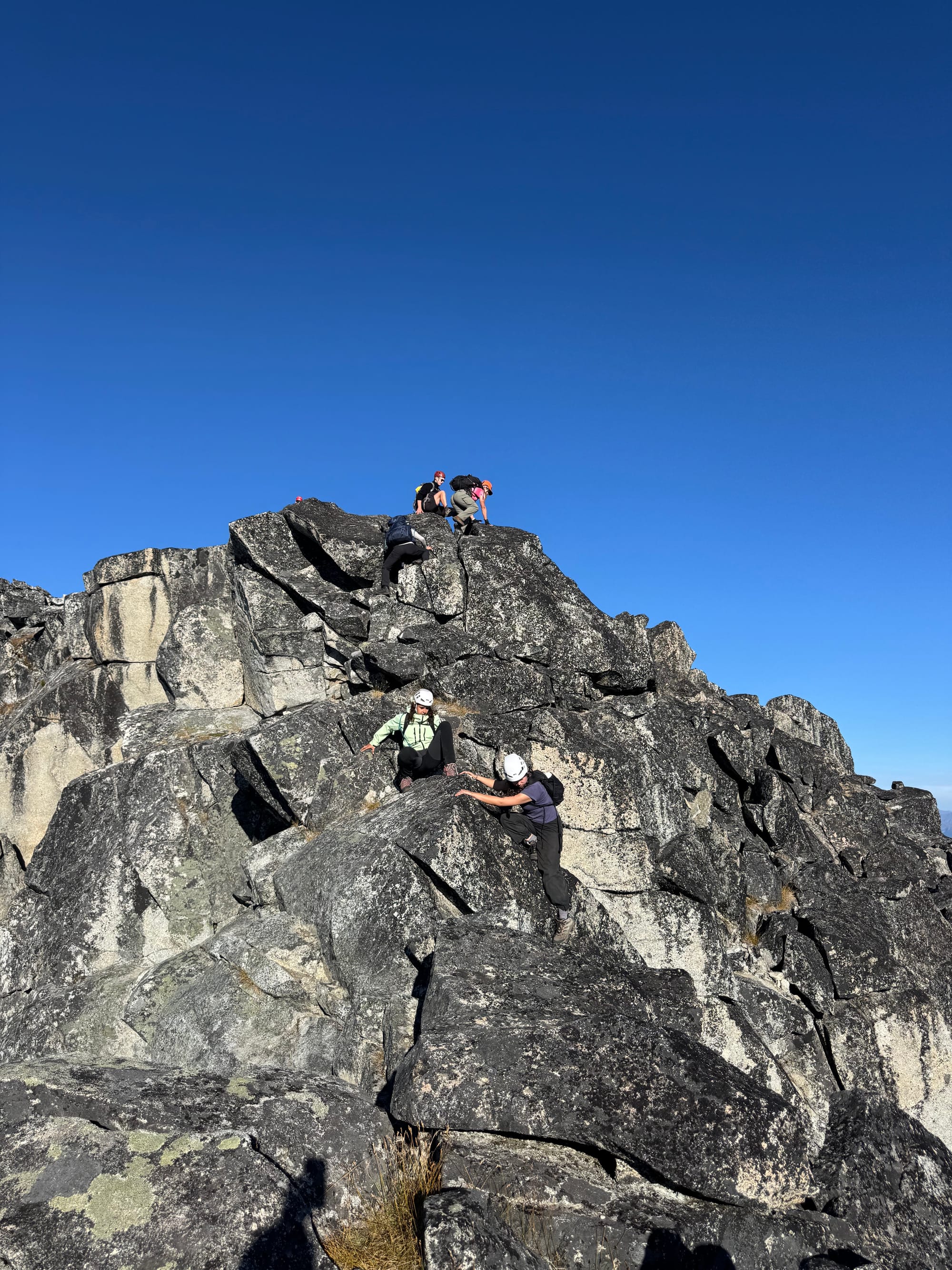
Most of us went up the gulley mentioned in the Scrambles book, which was much wider and less steep than it appeared from the lake. There were many opportunities for extracurricular class 3 scrambling beside the gully, so some of us took more challenging routes. To avoid rockfall, we spaced out and avoided traveling above anyone else.
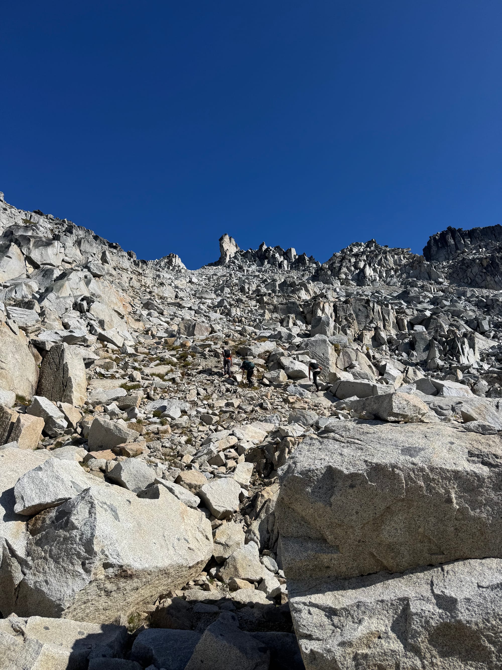
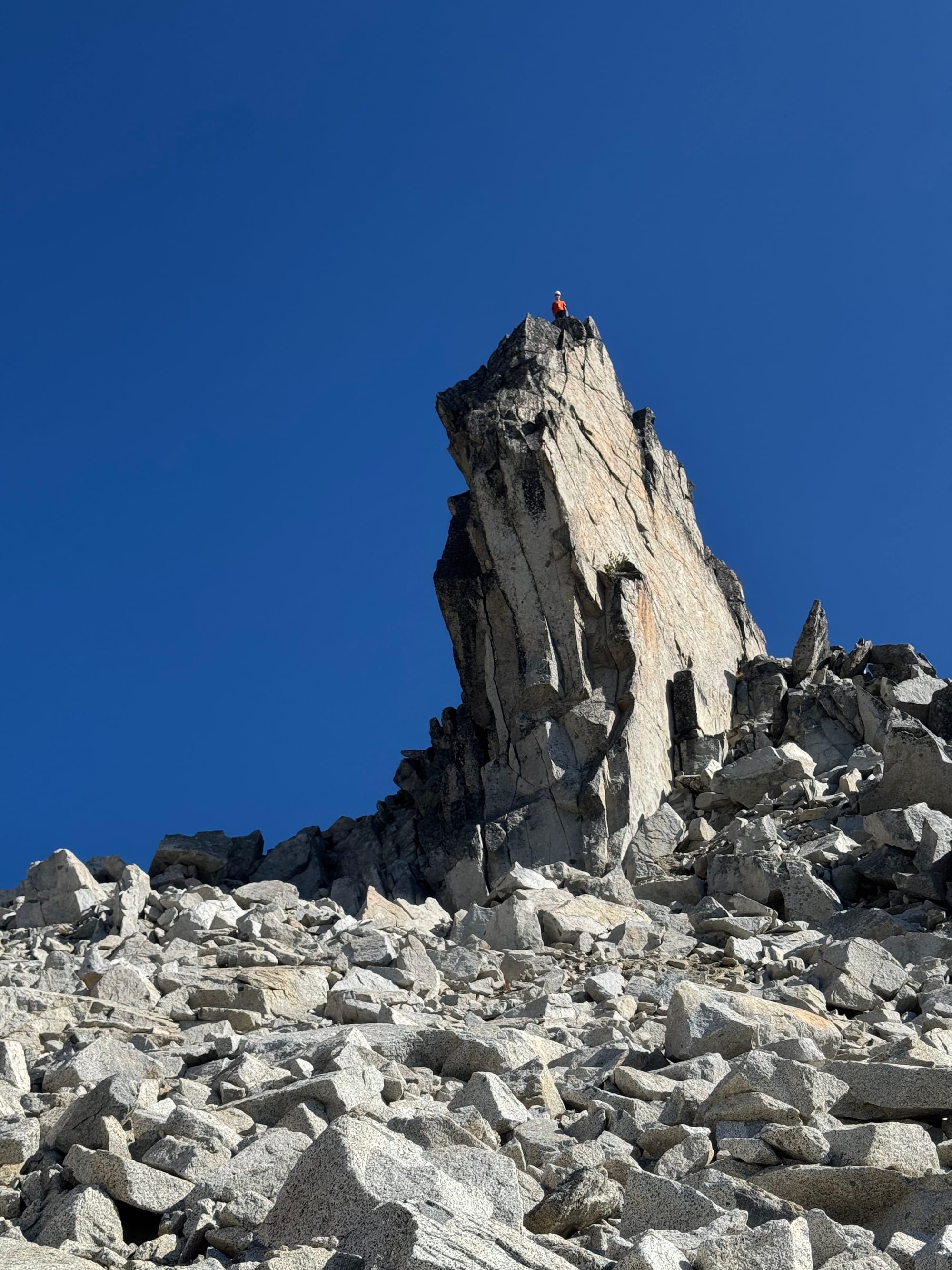
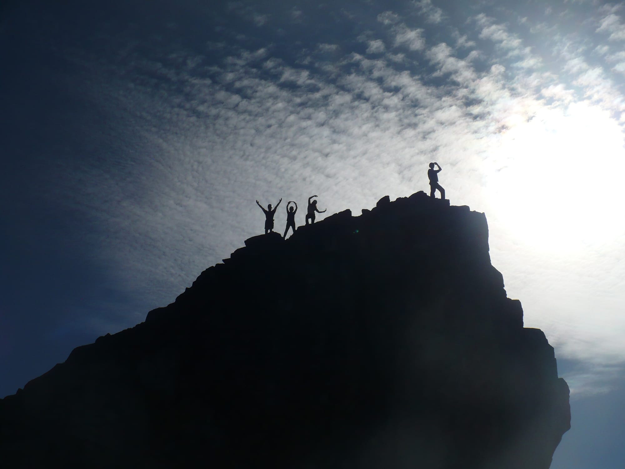
We made our way to an impressive pinnacle on the ridge, which we named “Sockeye Horn 2”.
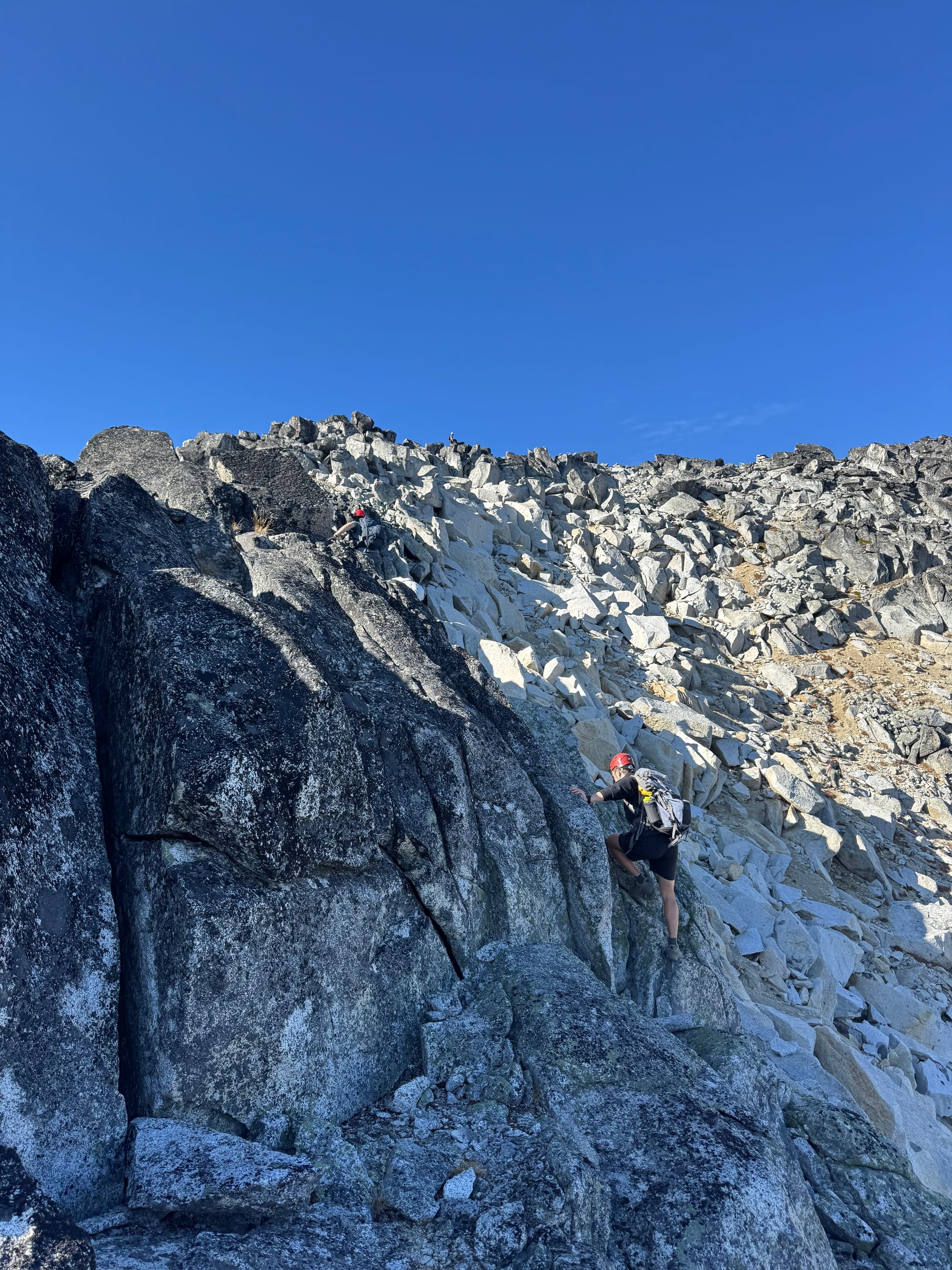
It was time for the final push to the summit. This was easier than I expected, with almost all the class 3 scrambling being avoidable. I would call most of it class 2. Some of us went up a ramp to climber’s right of the ridge which was less exposed. There's one unavoidable class 3 step just below the summit where a fall would send you a long way down.
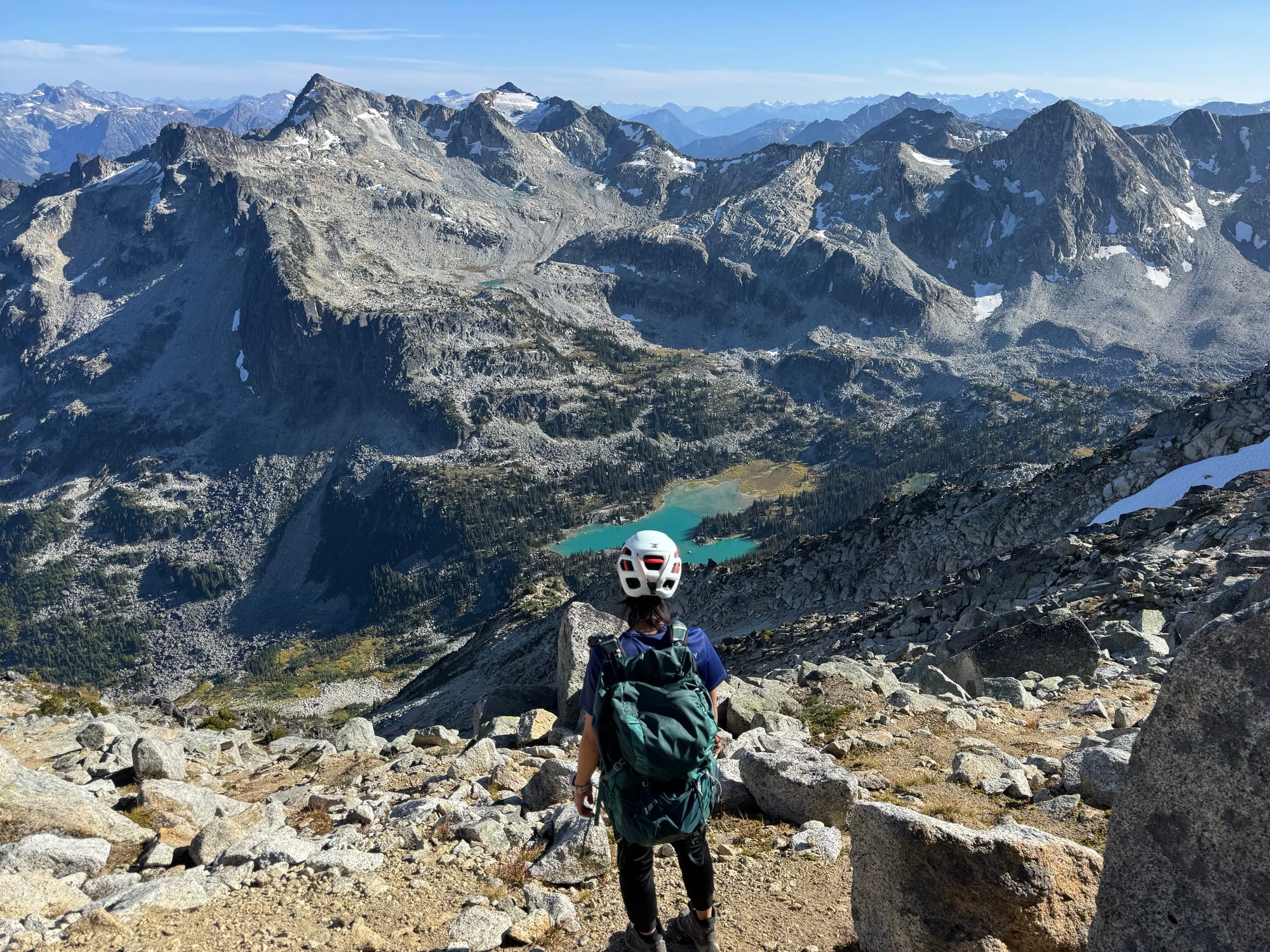
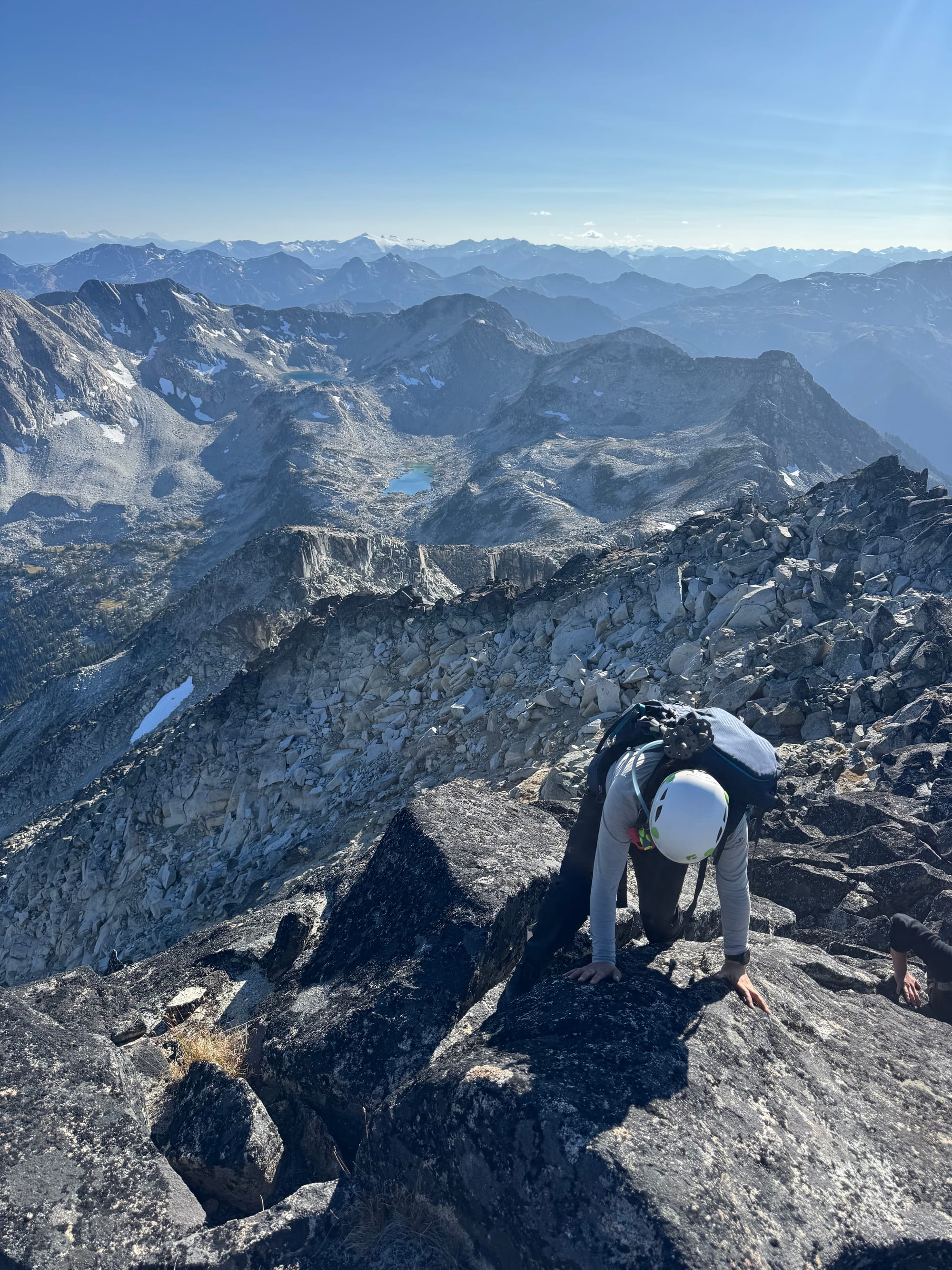
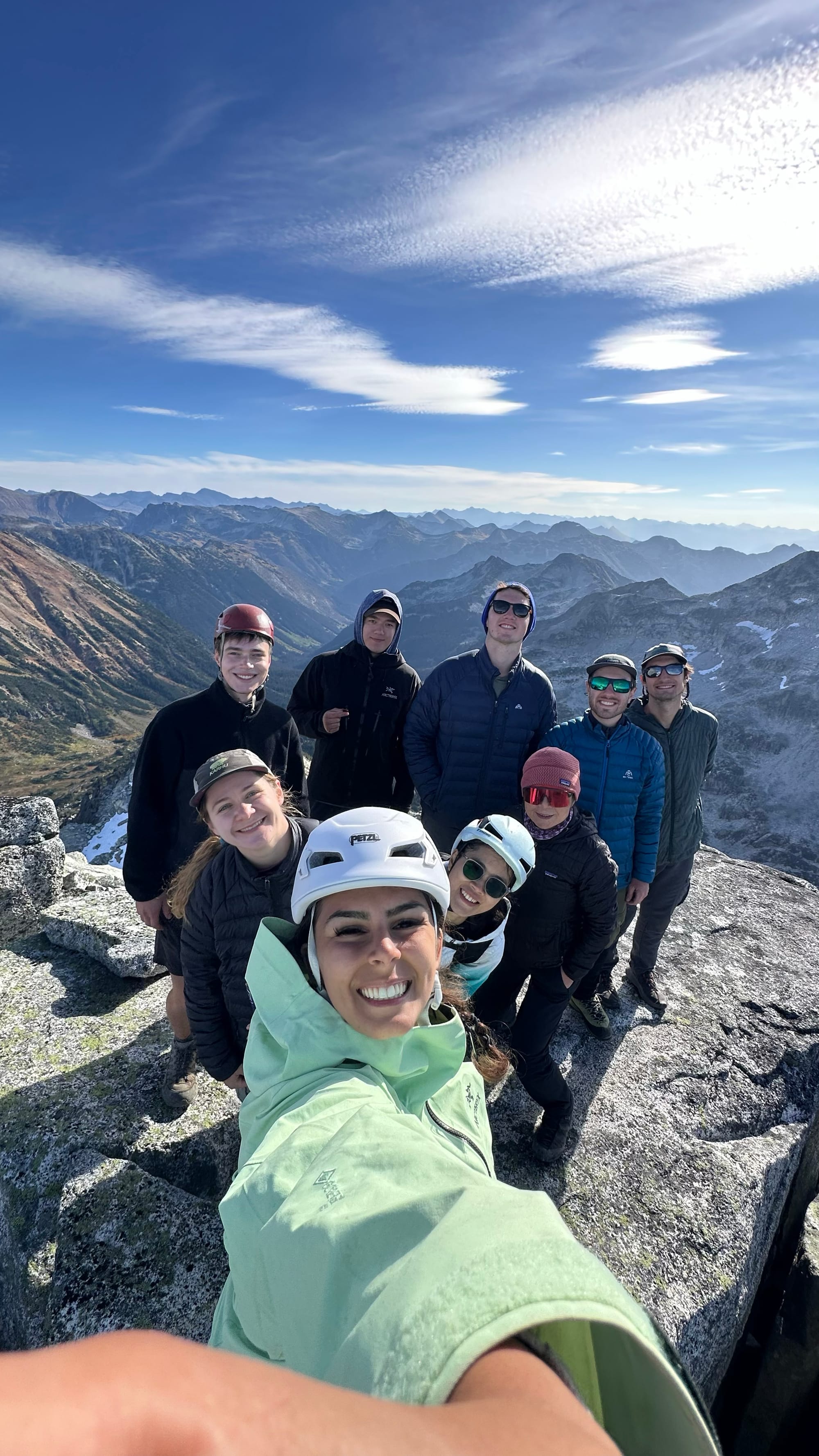
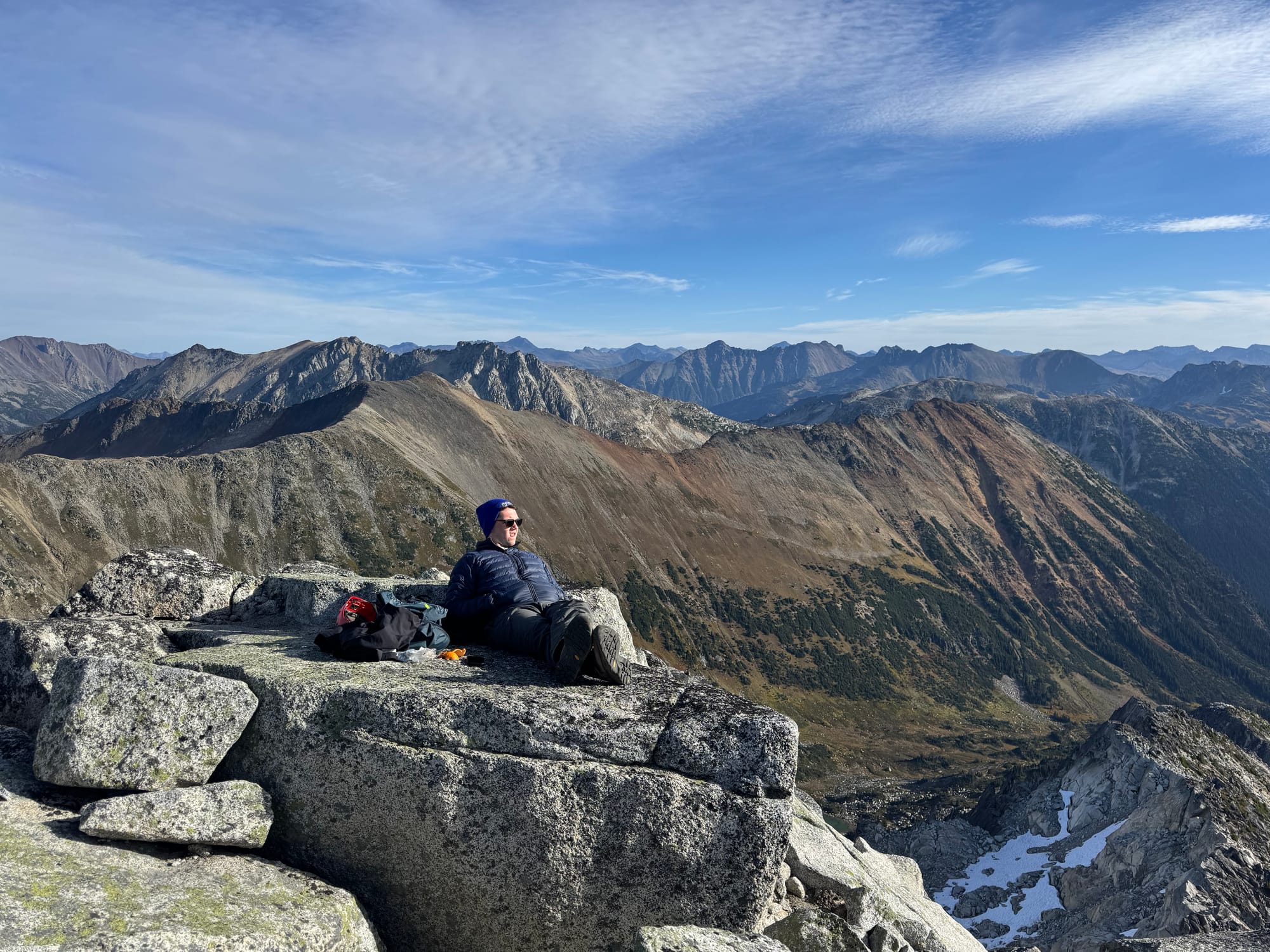
The summit had incredible panoramic views.
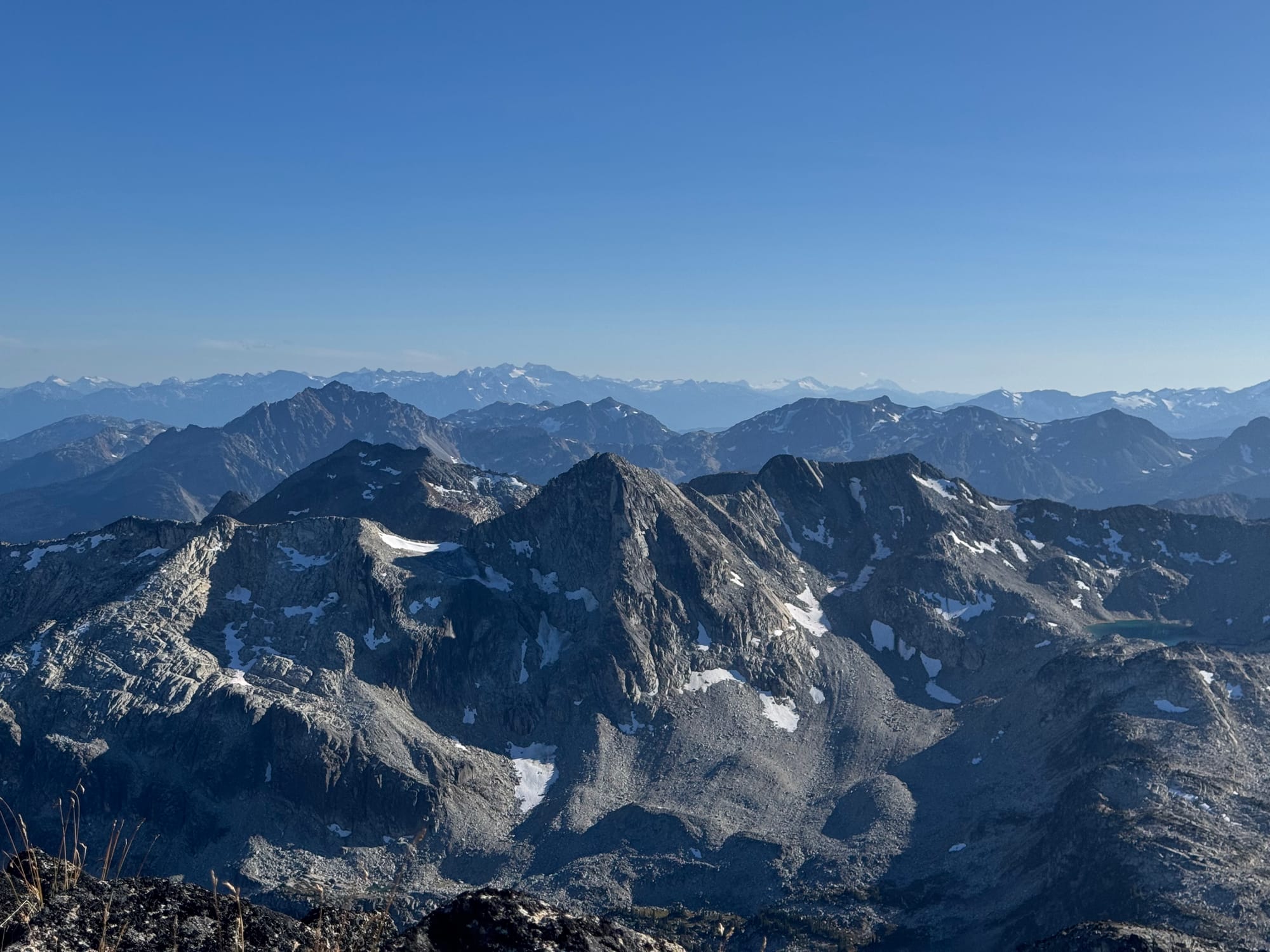
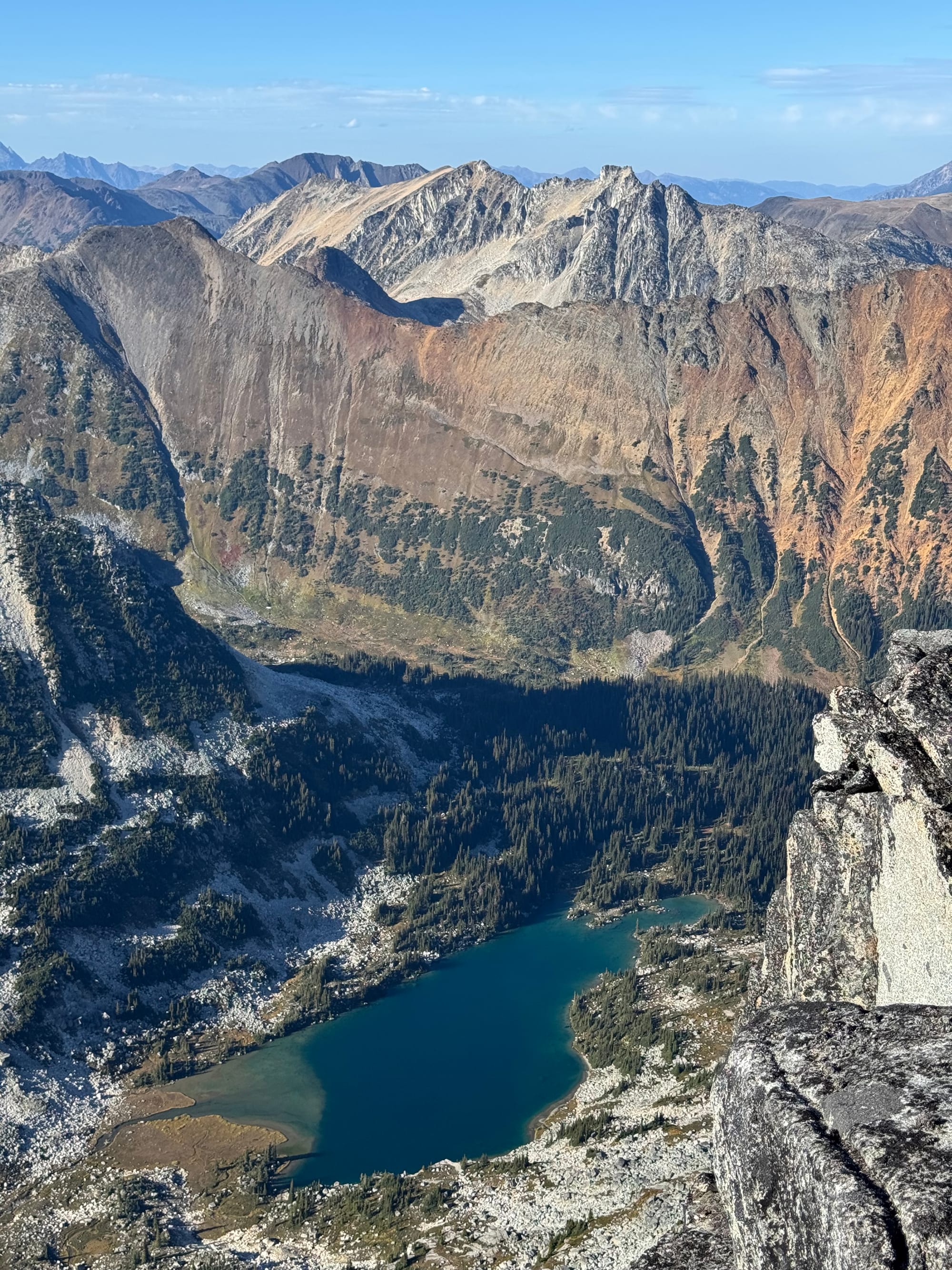
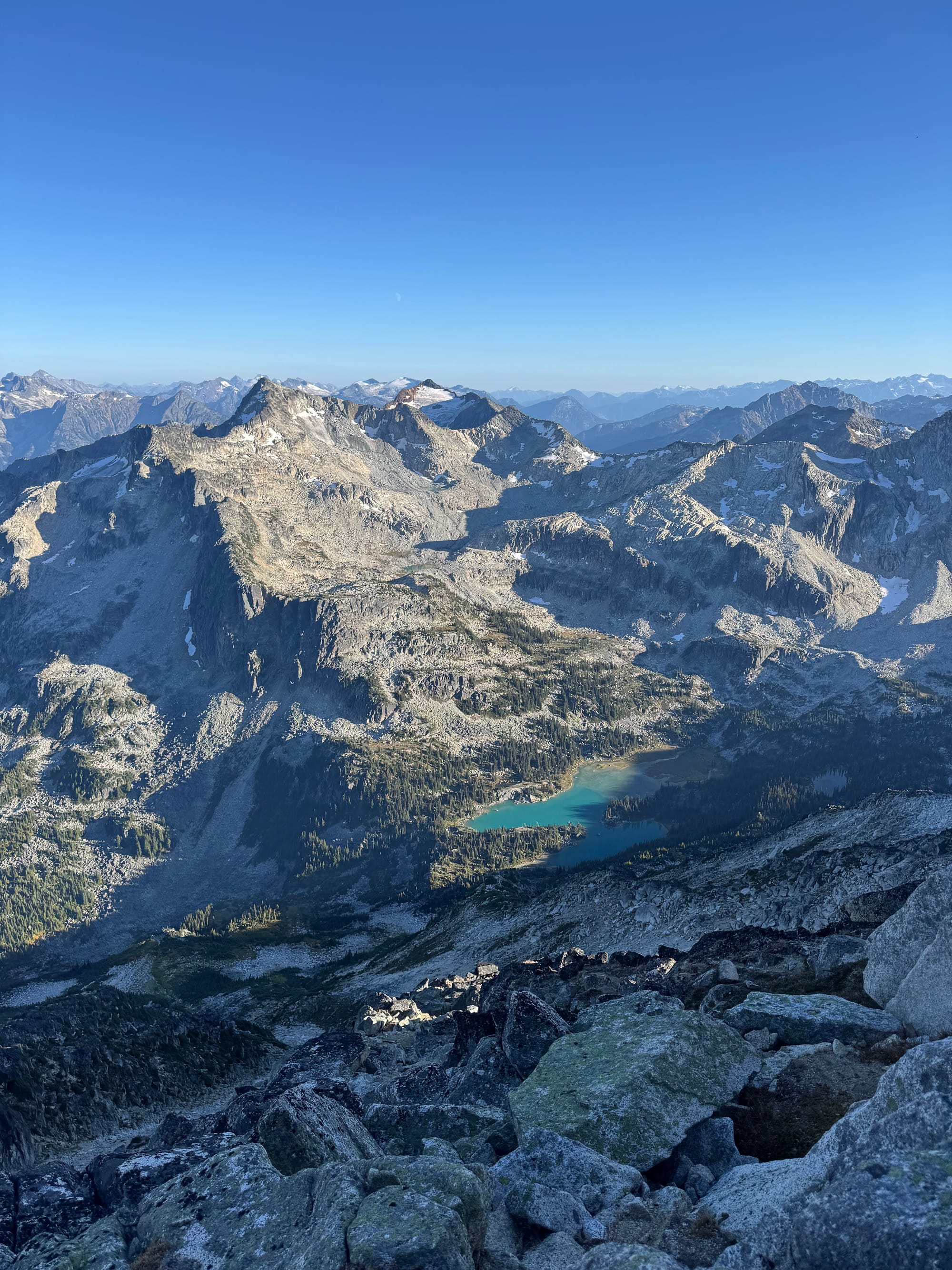
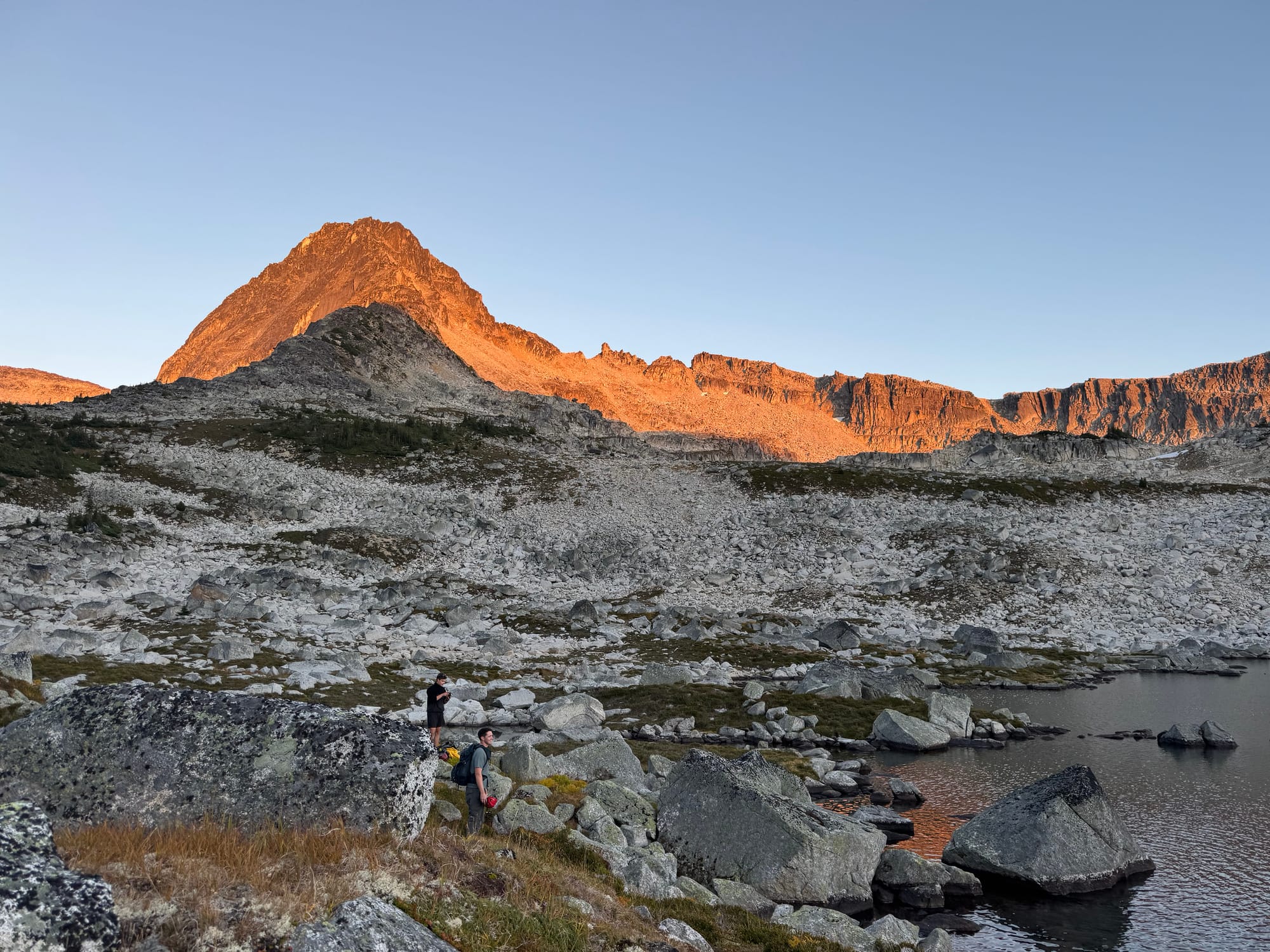
After a well-deserved break, we made our way back to the lake. The sunset was beautiful.
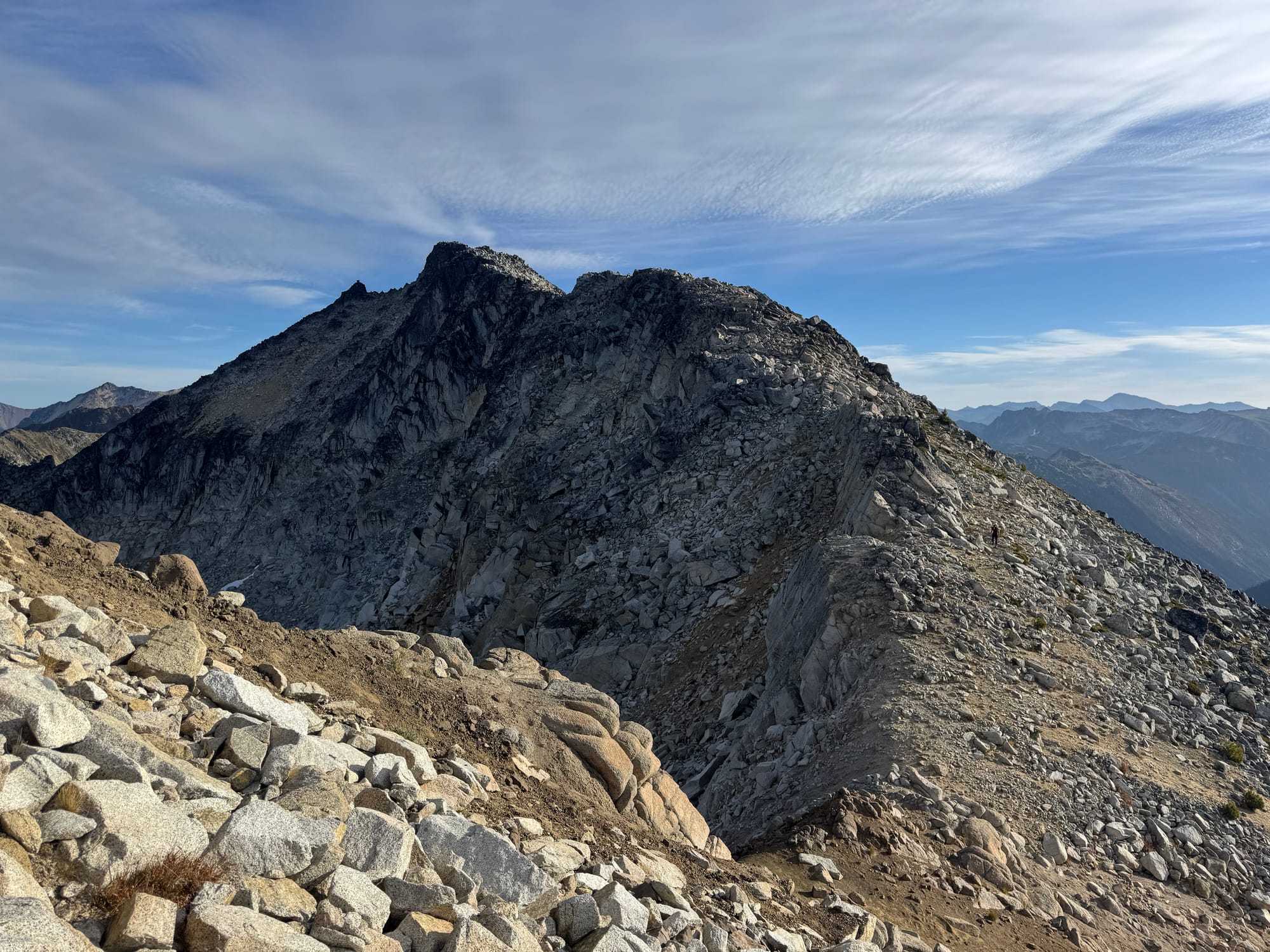
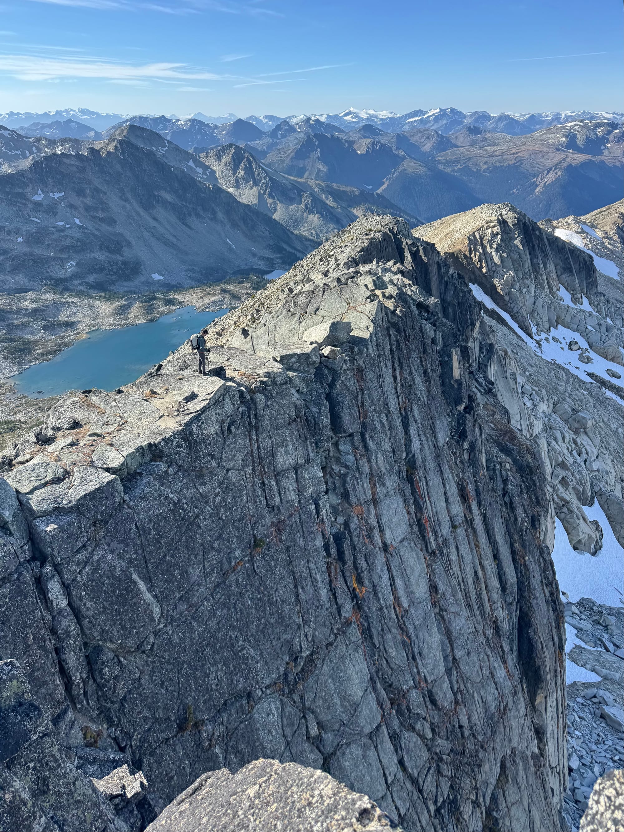
The next day, we set out to tag Beaujolais Peak. We ascended to a saddle just above our camp, then headed east along the wide ridge. This was maybe class 2 at most.
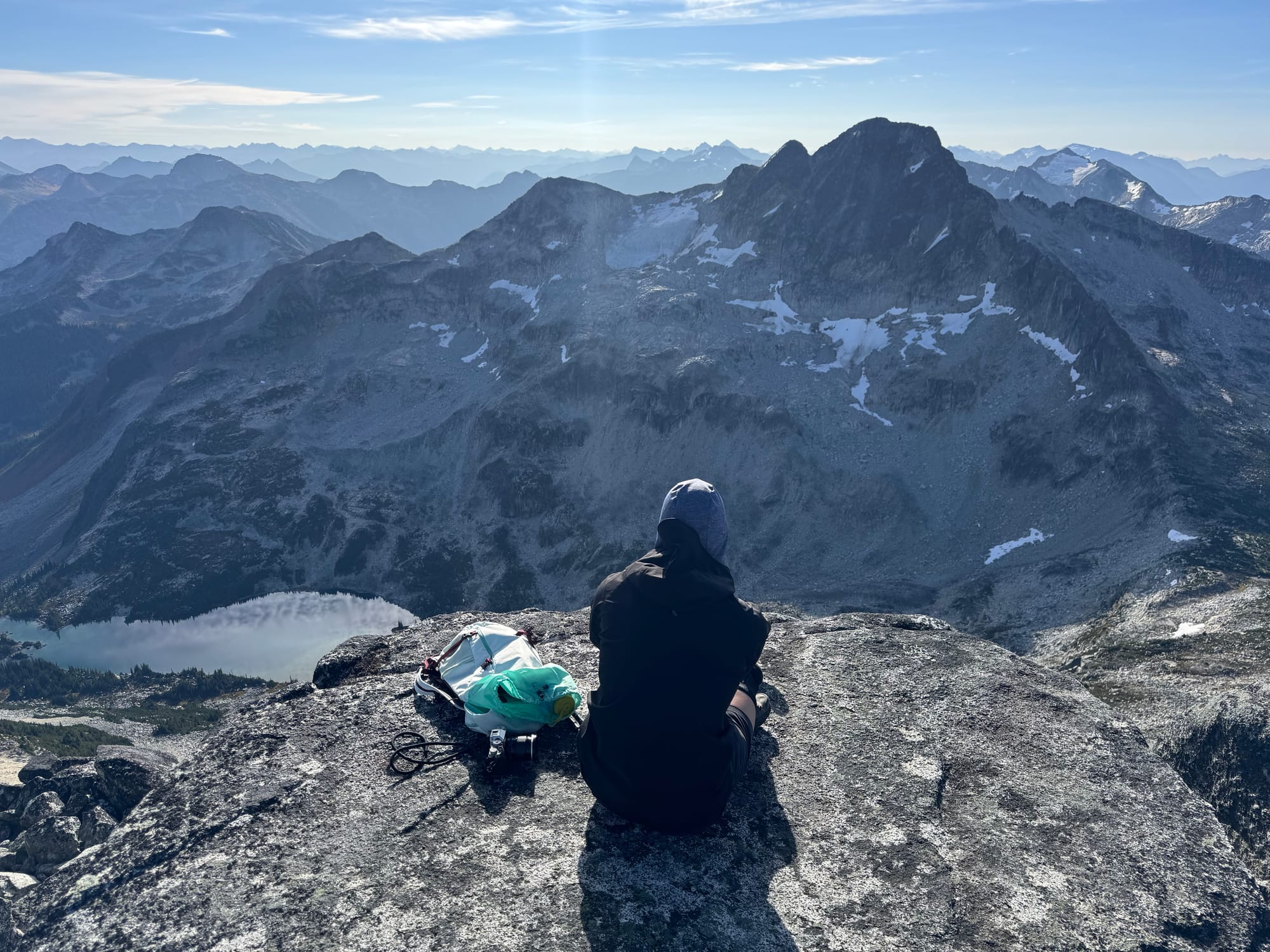
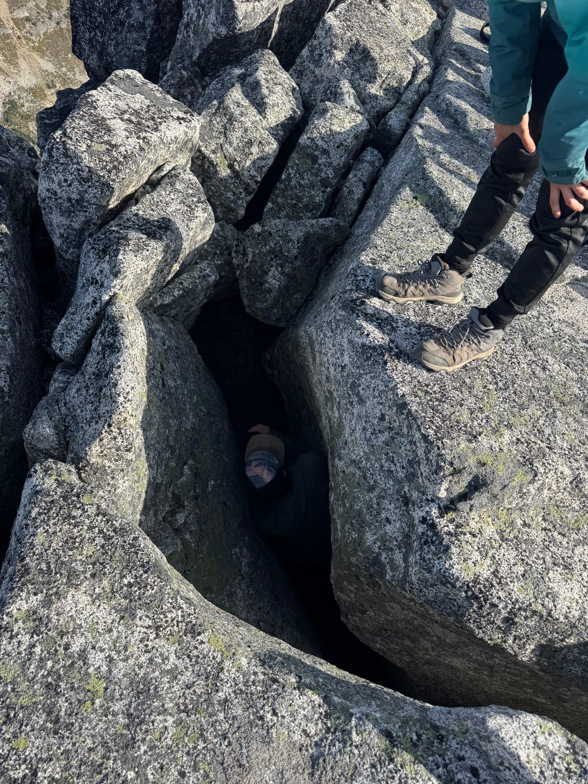
The summit was a large block with some interesting rock cracks that provided caving opportunities. You could actually camp up here, as long as you don't roll over in your sleep... As with Sockeye the views were spectacular.
I was really regretting not bringing Beaujolais wine, with charcuterie, cheese, etc. This whole area would be a good place for a food and drink-themed trip
We returned along the ridge, following it up and over a small bump then rejoining yesterday’s route.
At this point we split up into two groups, with one group taking a side quest to climb Brown Molar and the other group doing a more leisurely return. Brown Molar was easily gained, and soon after we made our way back to the car.
A few minutes of driving later, we caught up to the minivan. We all met up one more time for Korean fried chicken in Whistler, a great end to a perfect adventure.

Member discussion