Gunung Tambora
Date: September 1-2, 2026
Distance: 30.31km
Elevation gain: 1800 m
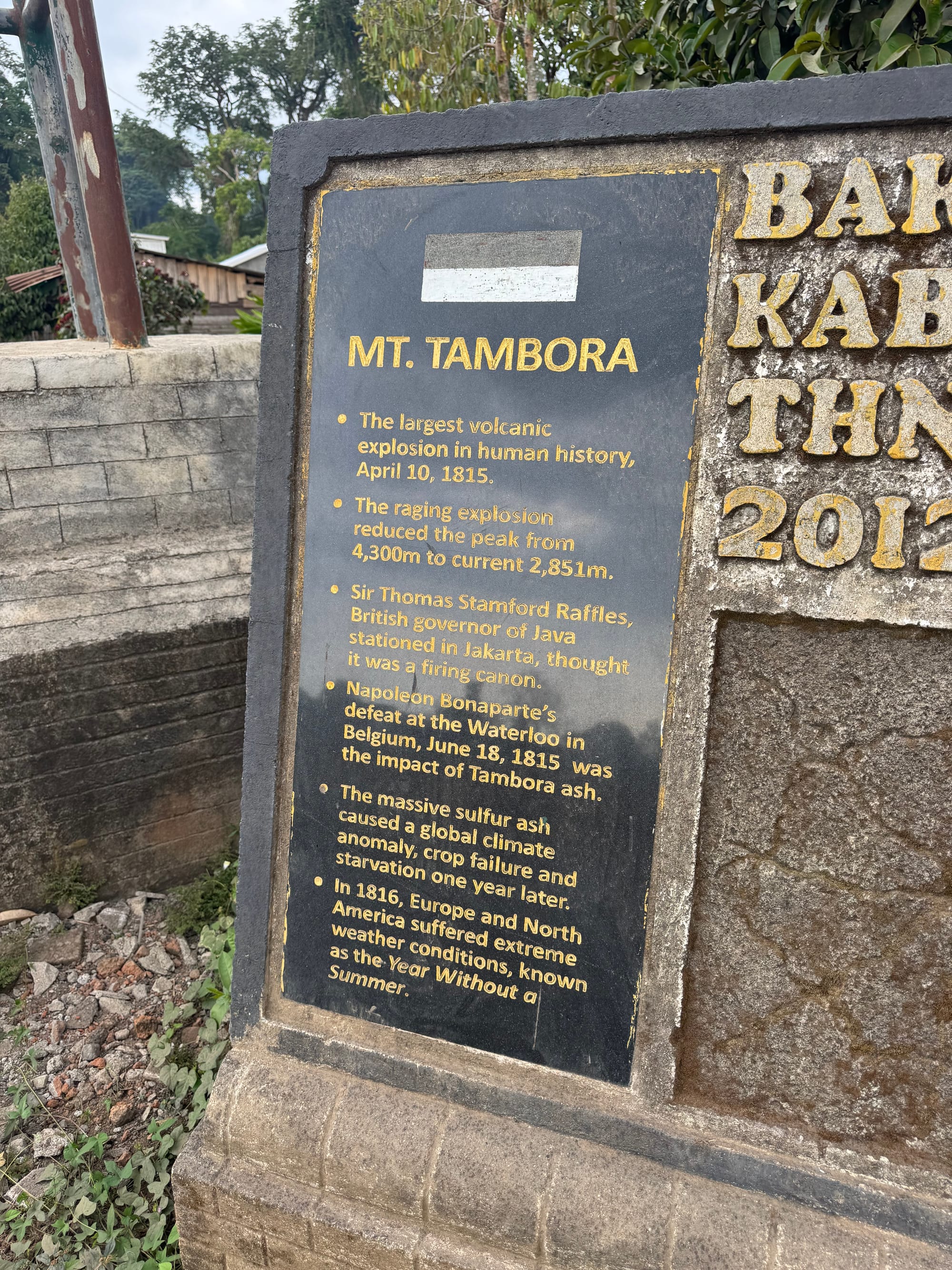
Mount Tambora’s eruption in 1815 was the largest in recorded history. The mountain launched billions of tonnes into the atmosphere, and explosions were heard over three thousand kilometres away. The disaster had many impacts on world history. The Tambora culture at the base of the mountain was annihilated. Farther afield, the atmospheric disturbance caused catastrophic weather and crop failures worldwide, leading to famines and unrest in Europe and Asia and widespread emigration to North America. 1816 is often called the year without a summer.
In an example of the butterfly effect, crop failures in Scotland caused by Tambora might have prompted my 4th great grandparents to move to Nova Scotia in 1817.
Before 1815, Tambora was over 4300 metres high, making it one of the tallest mountains in Indonesia. The mountain is now over fifteen hundred metres shorter, and the eruption left a massive caldera, over seven kilometres wide and almost one mile deep.
I wanted to climb a remote Indonesian mountain and Tambora was an ideal destination. It was well worth the trip and ended up being my favourite Indonesian hike. The mountain is located on the remote island of Sumbawa, to the east of Lombok and Bali. As described on gunungbagging.com, there are two routes to the summit, and another route to the crater rim. I chose the route from the village of Pancasila, which had the most online beta. Previous trip reports mentioned unreliable guides, but I reached out to Petter Bjorstad, who’d climbed Tambora the previous year, and got contact info for a reliable guide and driver. This was almost a solo trip but luckily Shaojie joined at the last minute.
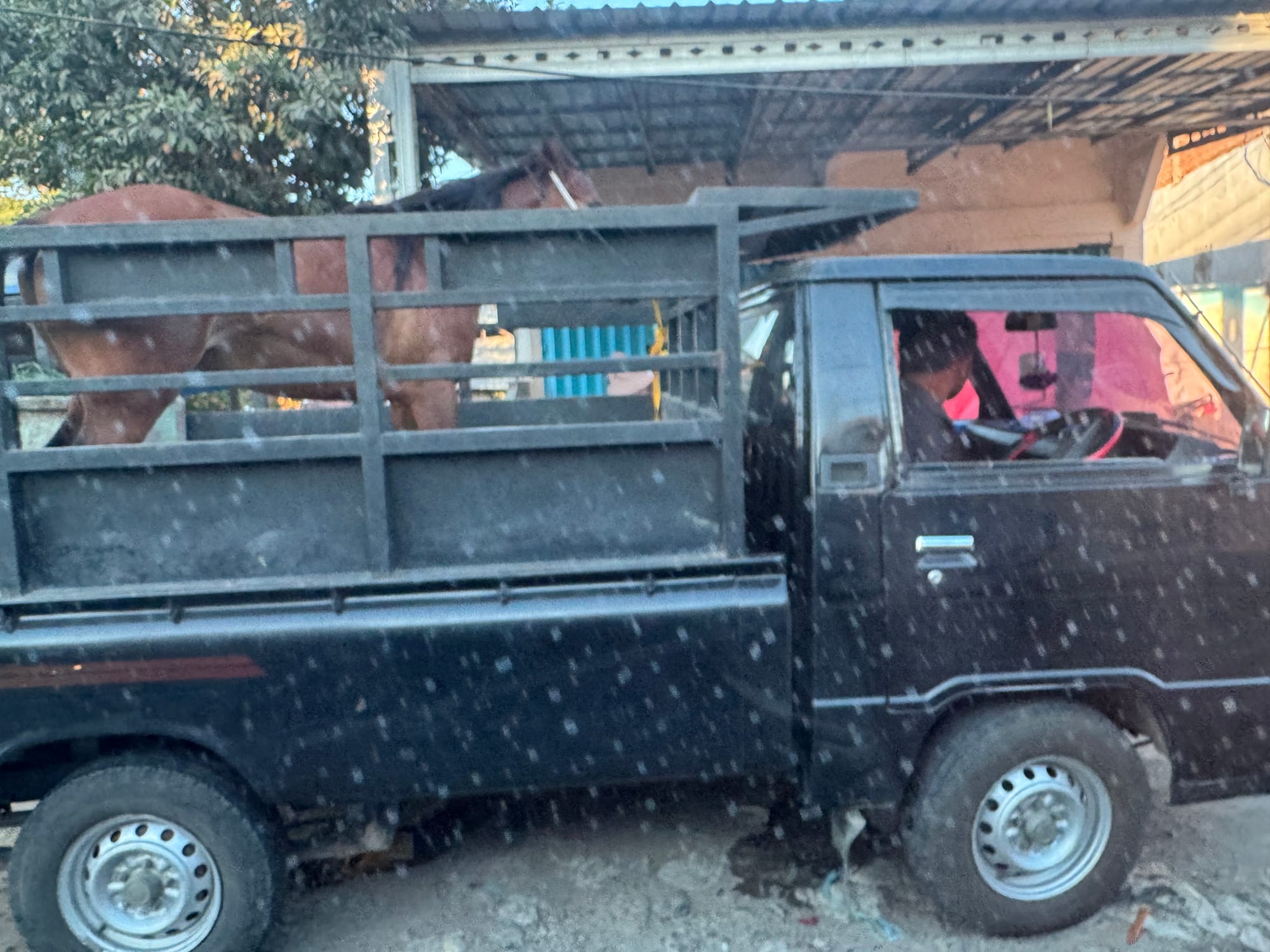
I flew from Bali to Bima, the nearest town to Tambora, and met Shaojie at the airport. We had hired Man (Whatsapp: +62 821-4757-8648) to drive us to Pancasila, about 4 to 5 hours away. My flight was delayed for a few hours so most of the drive took place in the dark.
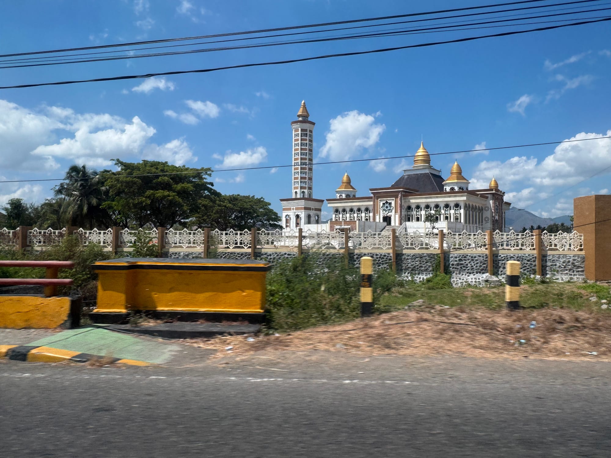
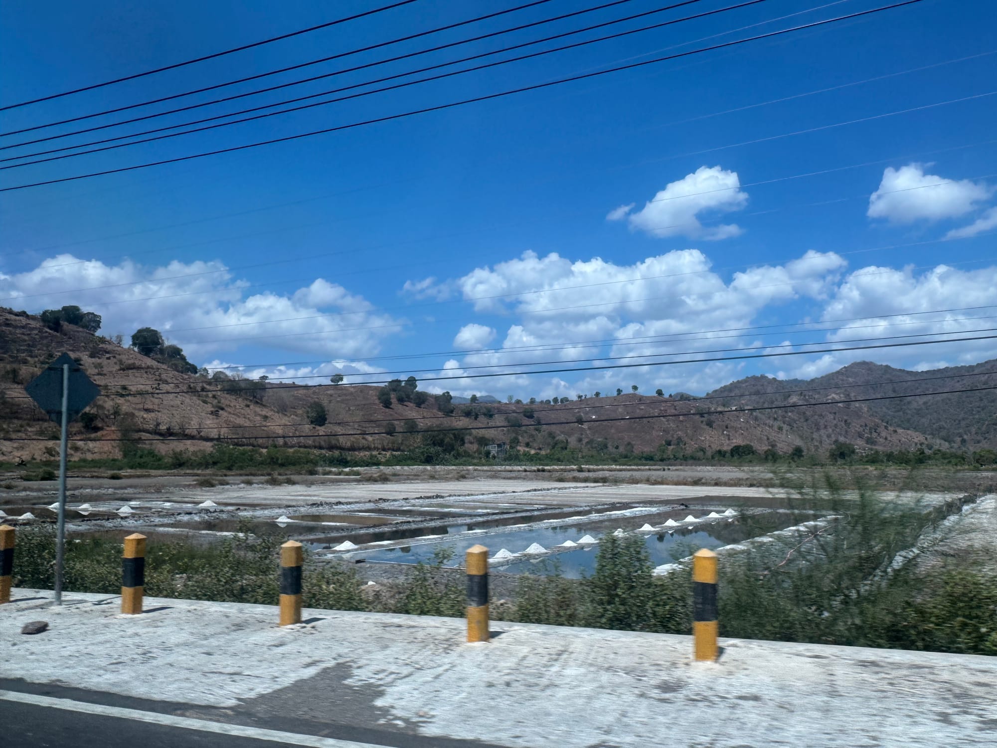
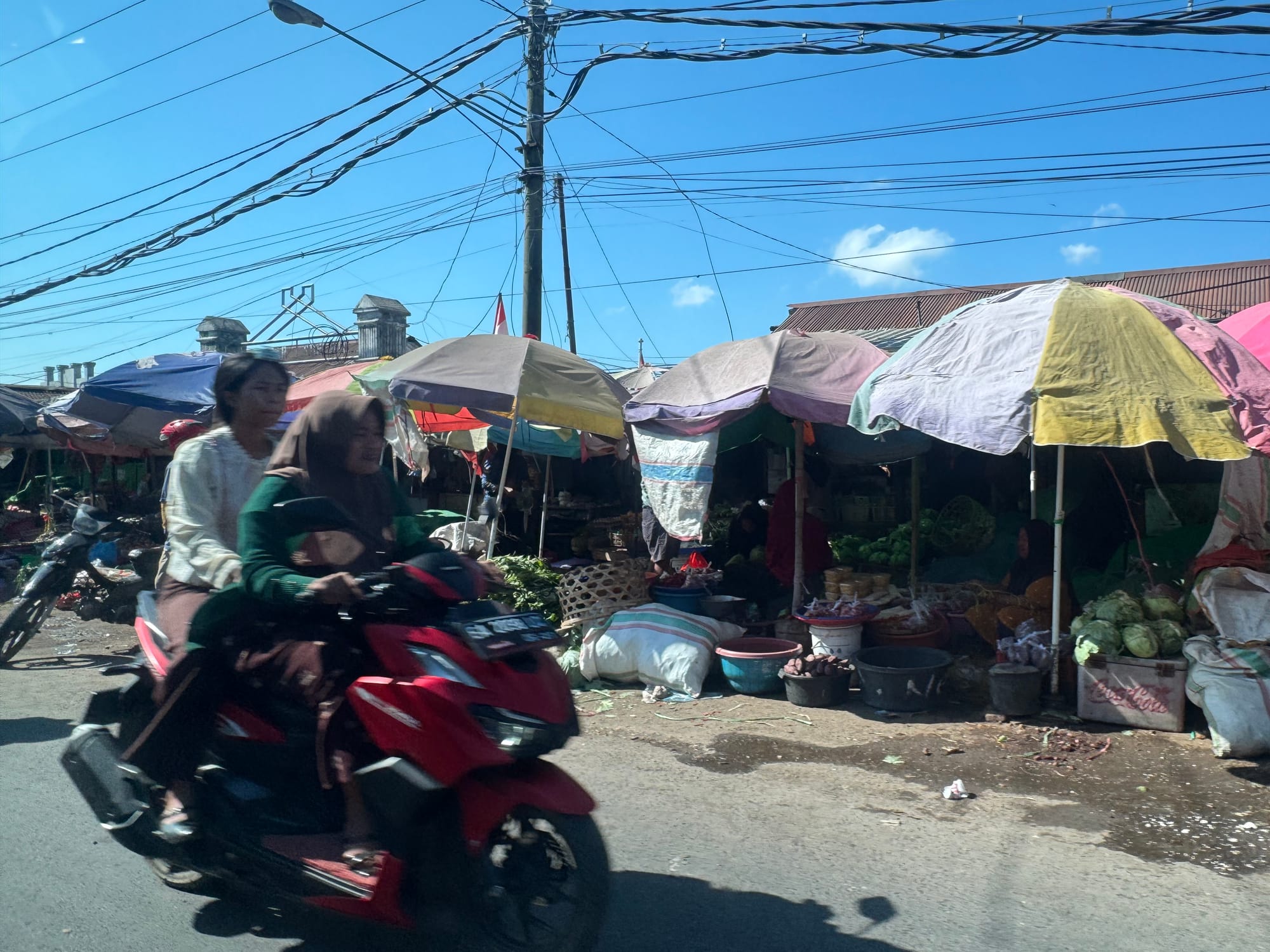
Sumbawa is very different from Bali and Lombok. There was only one other tourist in the airport, and driving around Bima it was clear that this island sees few visitors. The landscape is also very different, with sparse savanna-like forest instead of the dense jungles of Bali. It was much more religious than Java and Bali. Every few minutes, we’d pass a small town, and prayers from its mosque would fill the darkness.
Around 11pm we made it to the Adventurer’s Homestead at Pancasila, where we met Ipul (Whatsapp: +62 821-4591-1742), who organized the guided trip.
The next morning, we had a surprisingly good breakfast, then met our guides, Jibril and Saba.
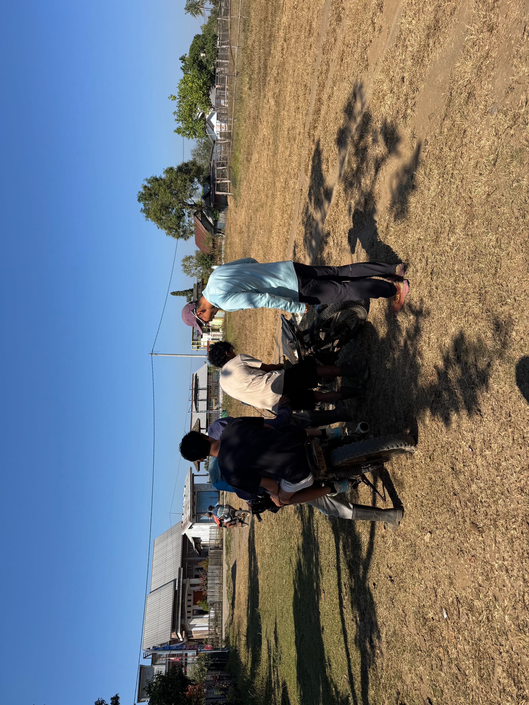
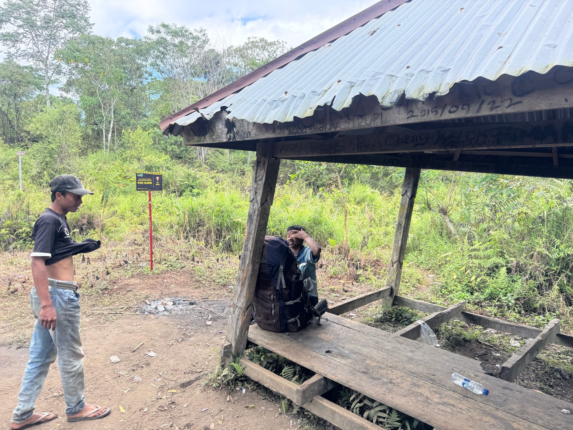
Some paperwork was sorted out and we rode motorcycles to the trailhead. The ride was about 40 minutes and took us through the village, then past farmland with cats and chickens walking around, then into the woods. We reached Pos Ojek at 830 metres, a bit further than some other trip reports have reported. Shaojie’s motorcycle broke down so another bike had to be brought from the village. We waited at Pos Ojek, watching a monkey in the trees.
Jibril looked a little young - I would have guessed 16 or 17 - so I asked him how old he was. “Eleven”, he replied. Thankfully he was joking and he was actually 17. This would be his second year guiding and fourth climb of the mountain.
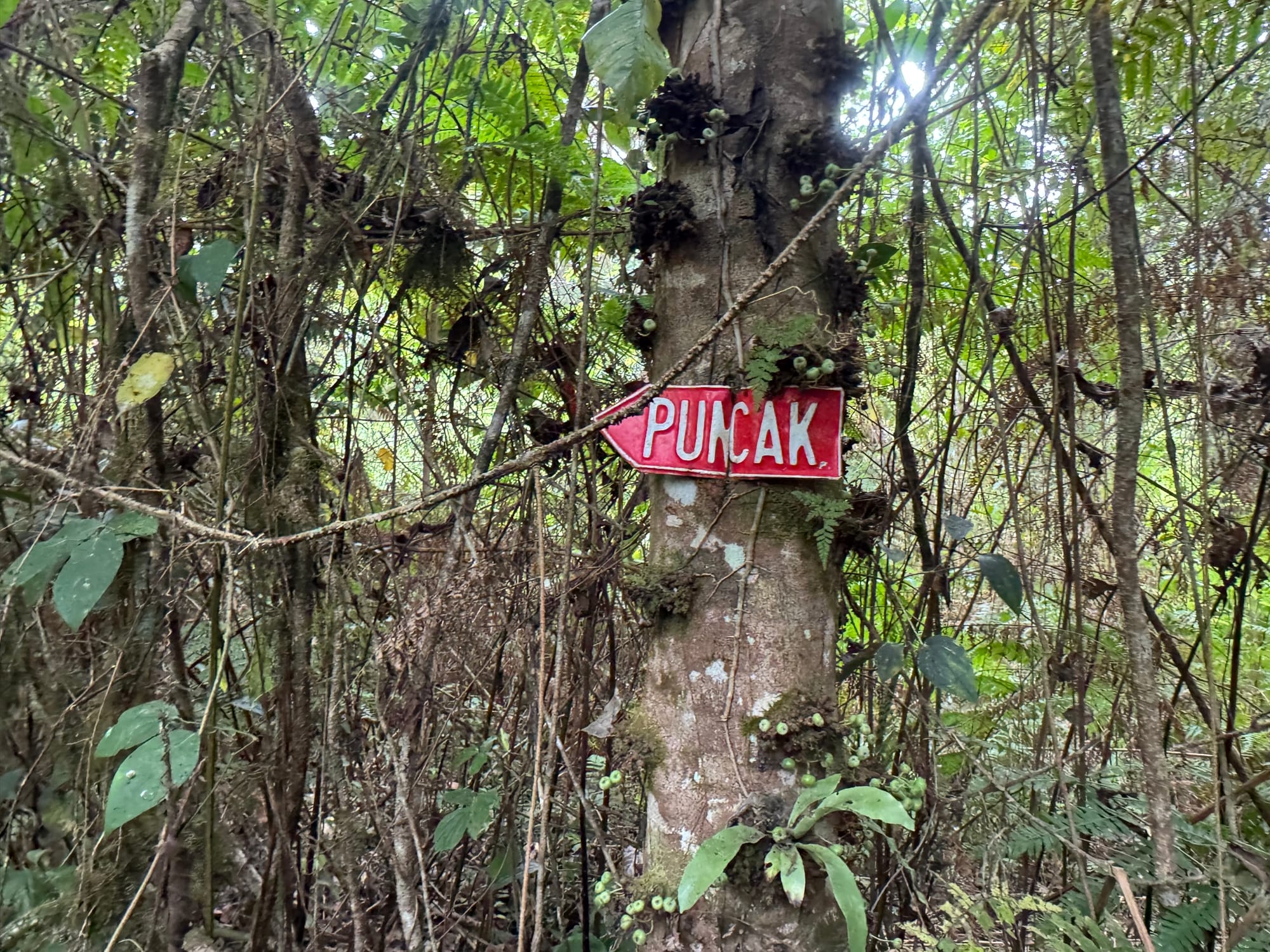
Eventually the other bike arrived and we started hiking. The start of the trail was surprisingly well-developed, with paved sections, water pipes, and railings. I guess this is the village’s water supply.
We passed a few shelters (Pos) before having a delicious lunch at Pos 2. The jungle here was more pristine than on other islands, although there was more litter than I expected.
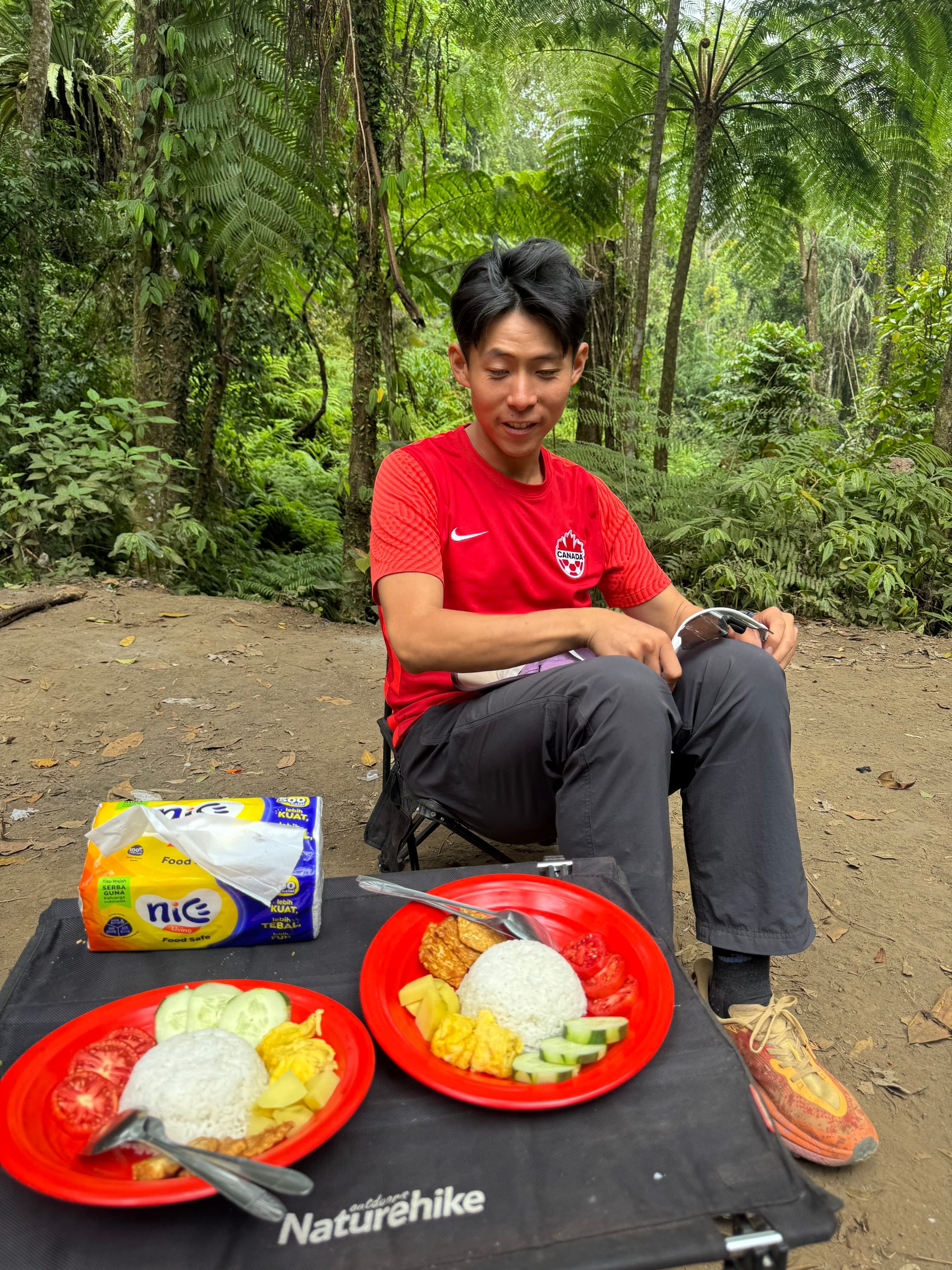
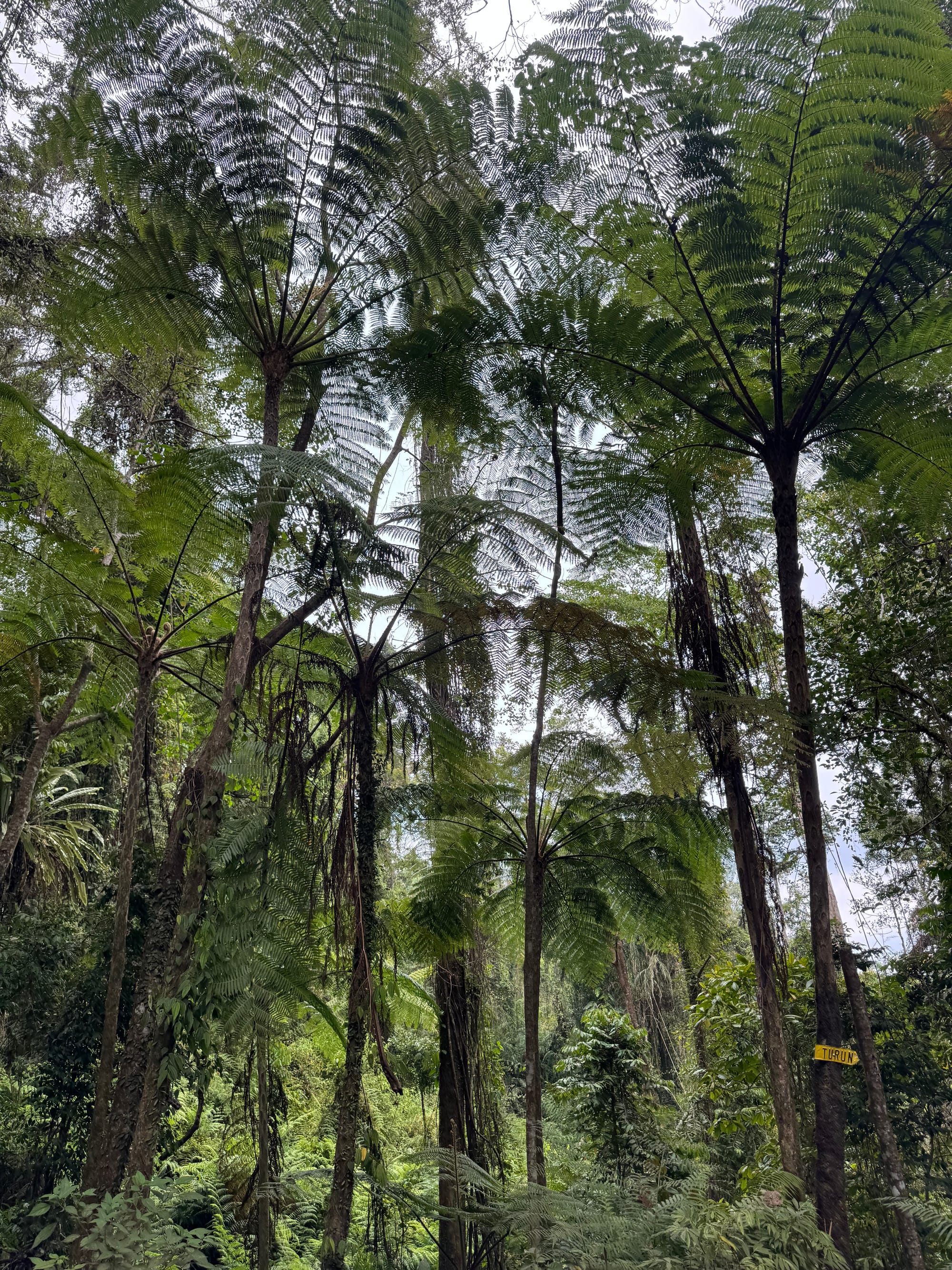
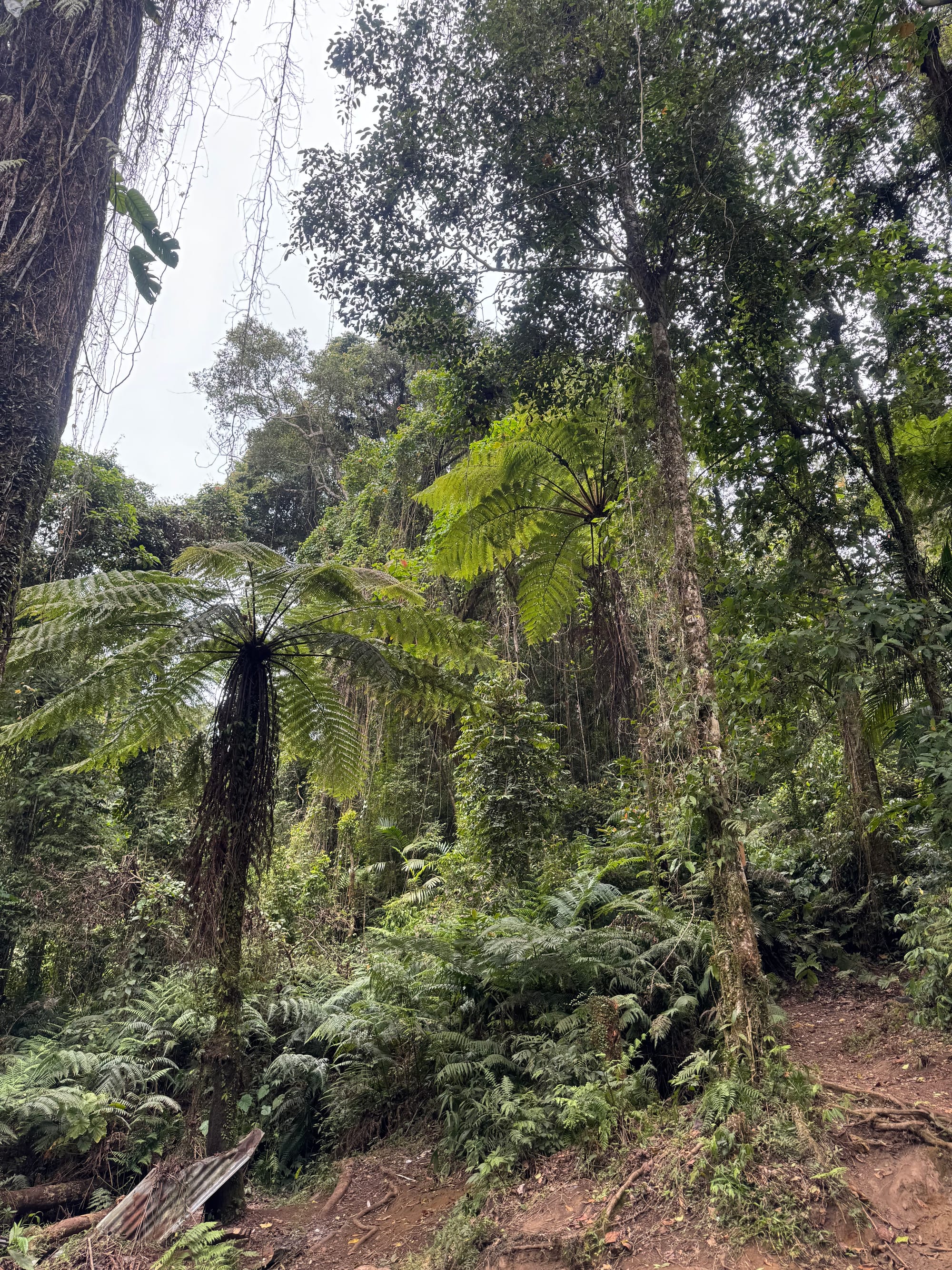
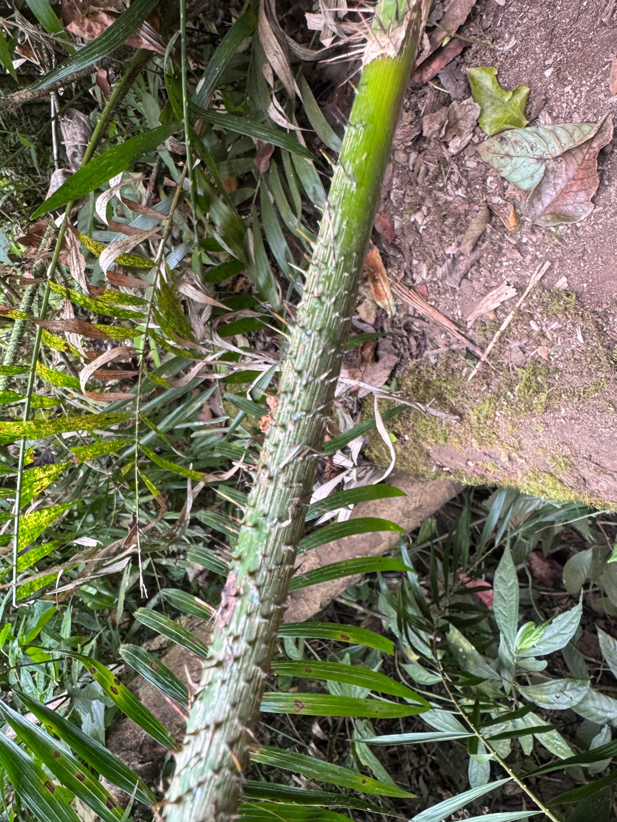
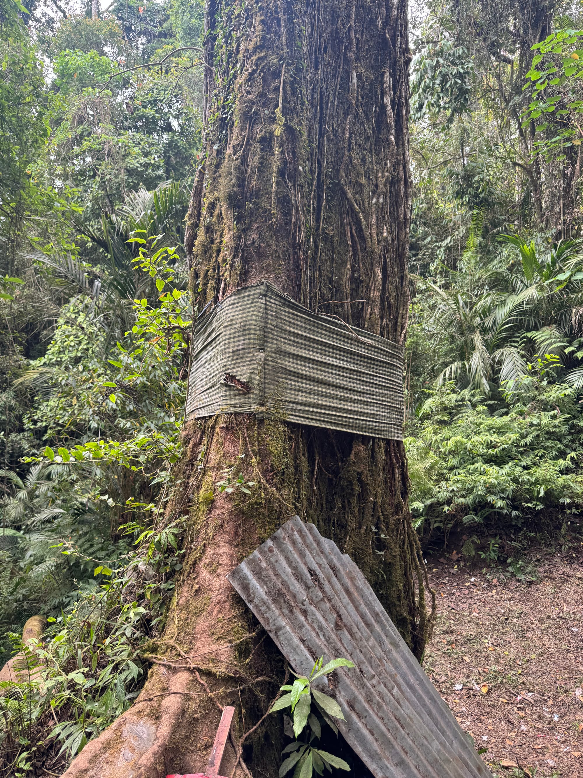
This is easily the most biodiverse trek I’ve done in Indonesia so far.
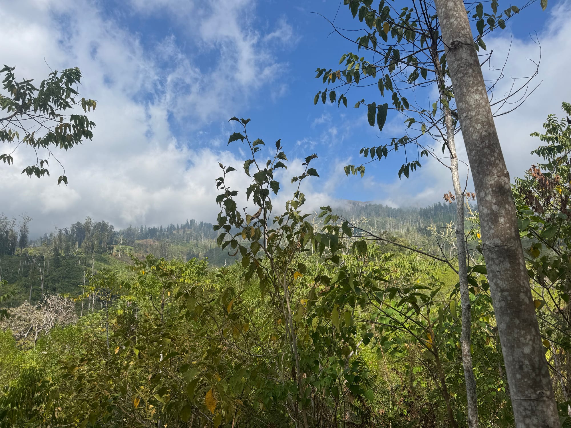
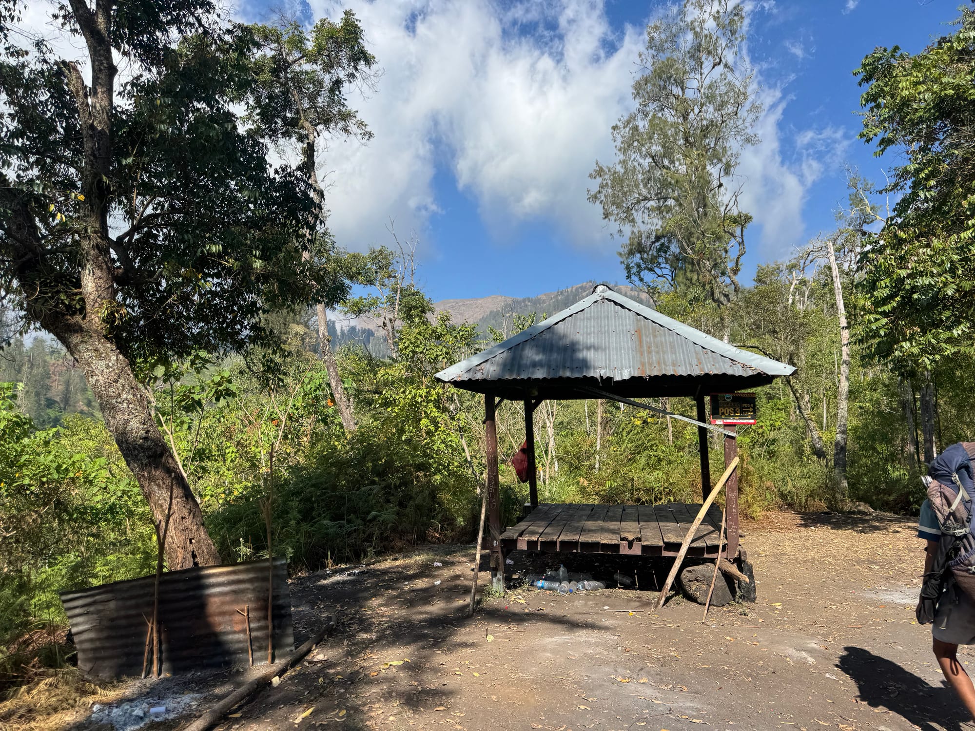
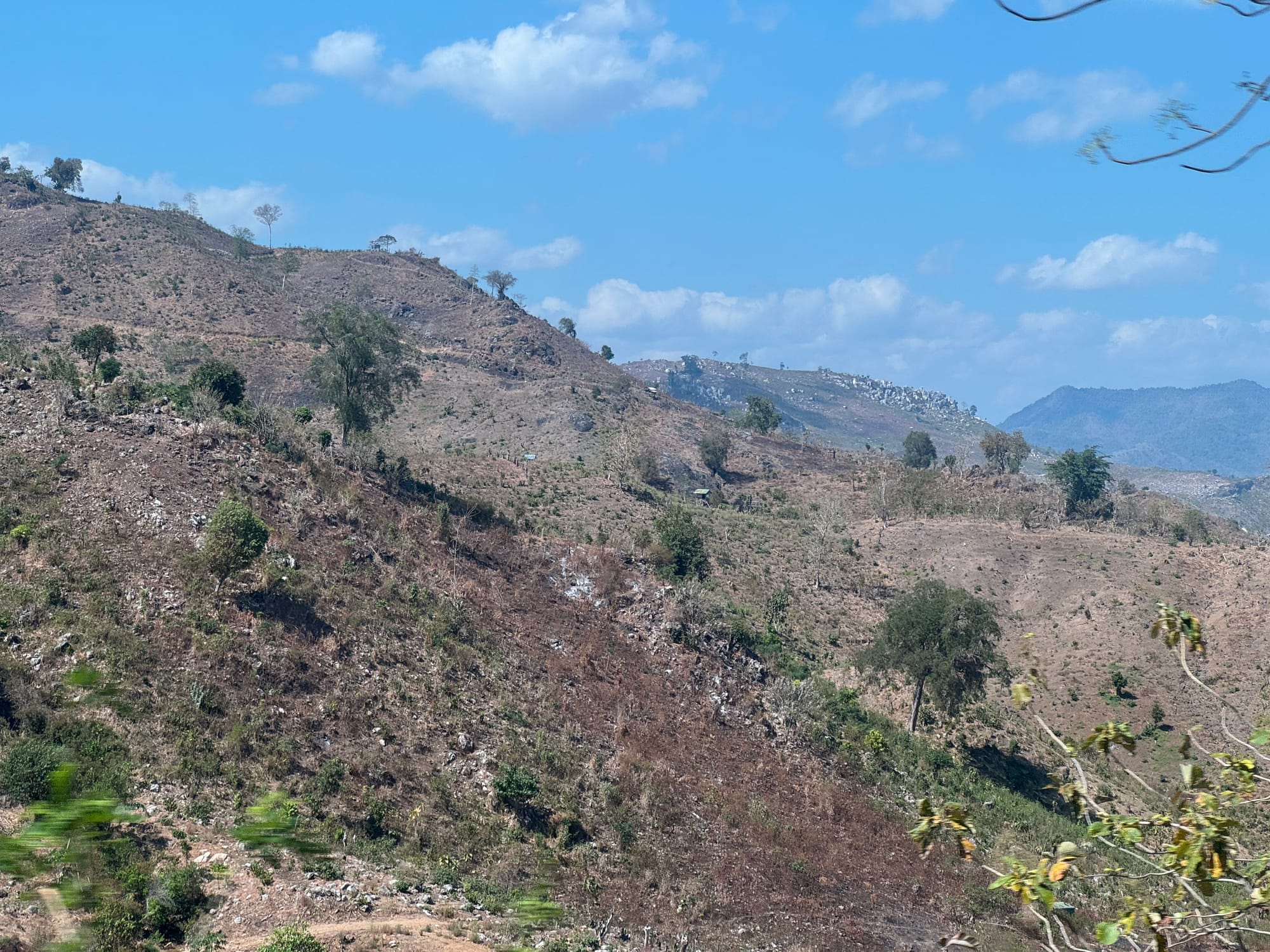
We continued along the trail for another couple kilometres. The forest thinned out and we got some views towards the summit. We could also see the aftermath of a forest fire. We arrived at pos 3 and set up camp.
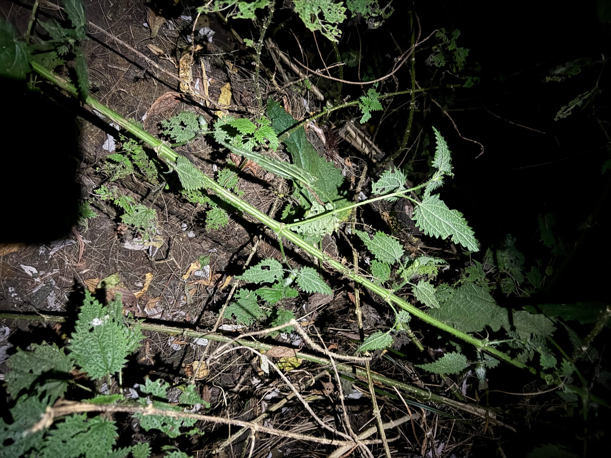
An early night was followed by a very early morning. Shaojie, Saba and I continued along the trail in the dark, taking frequent breaks.
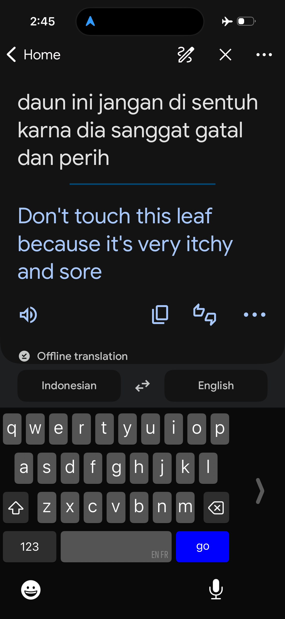
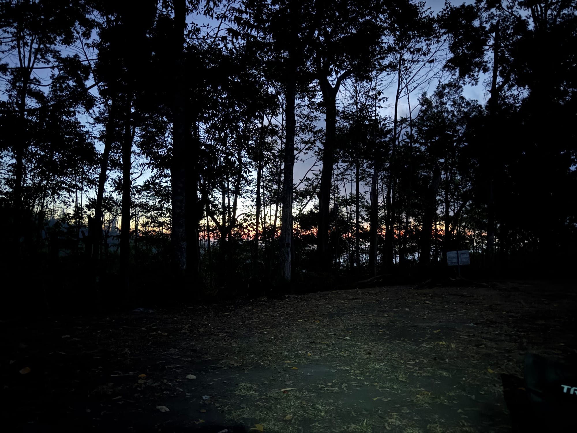
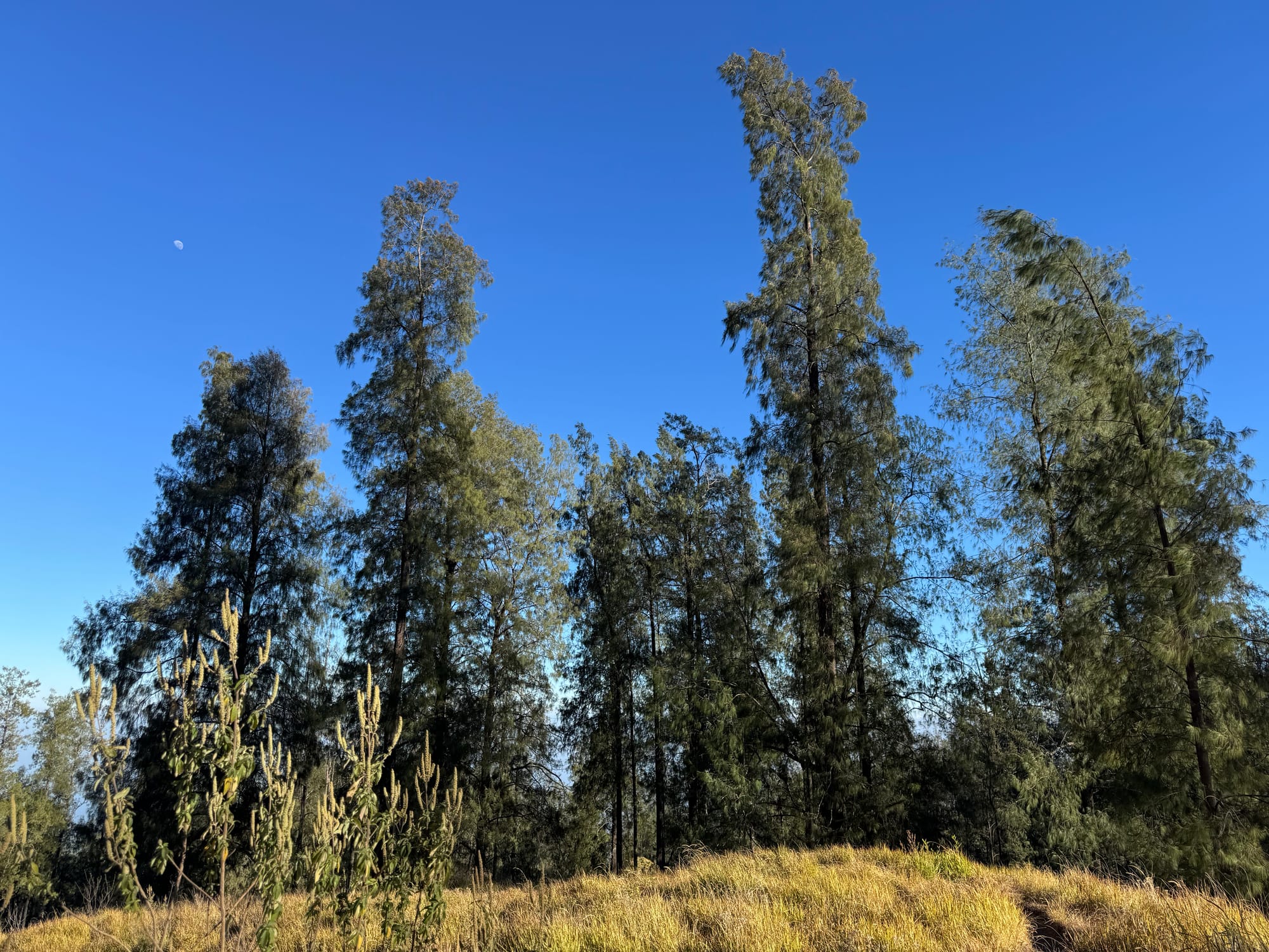
We left the jungle and walked through some more open, savanna-like forest, with large but sparse trees and some glorious stars overhead.
At one point Saba started playing Lana Del Rey’s greatest hits on his phone. Not what I expected to hear at 3am on a remote Indonesian volcano. It was quite surreal.
The trail became steeper and the group slowed down. Saba’s leg was quite sore so we offered to go to the summit by ourselves and meet him at the camp. With that settled, Shaojie and I continued towards the peak at a fast pace.
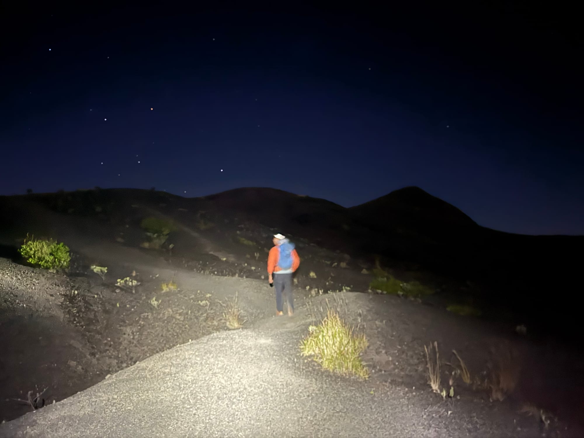
We arrived at the crater rim just past 5am. We were conscious of the massive distance across the crater, and the steep drop to our left, but the darkness hid most of the vastness. It was incredibly windy so we hid behind a rock and waited for a few minutes. When things got lighter, we made the short climb to the summit.
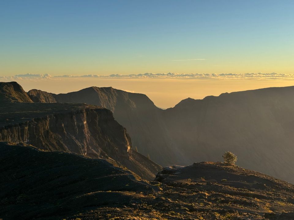
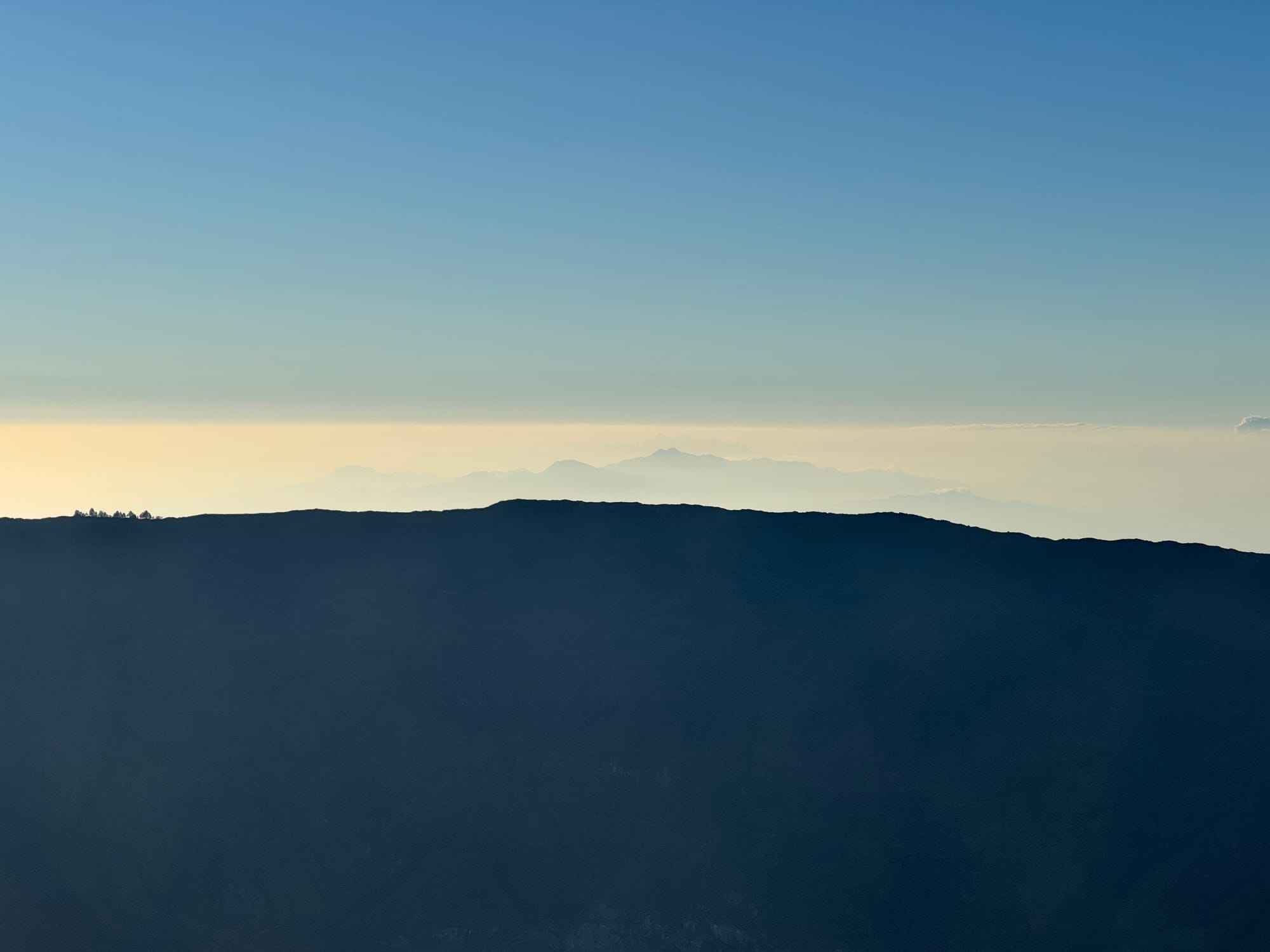
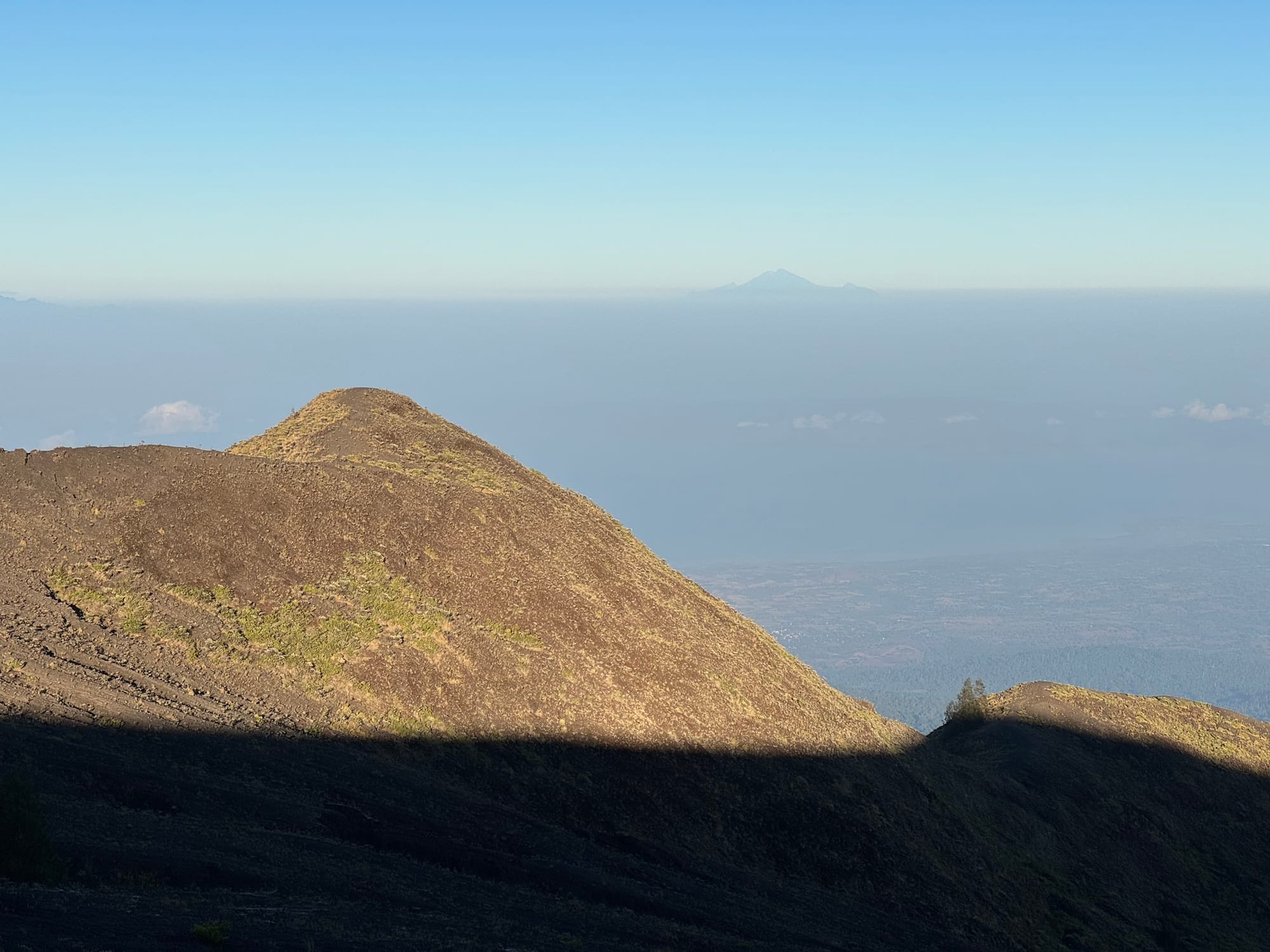
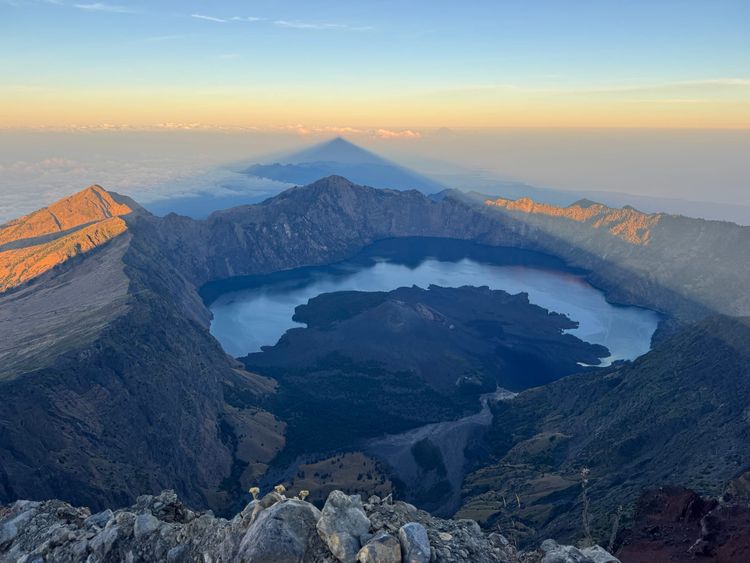
The view from here was surreal. The crater was over seven kilometres across and almost a mile deep. Beyond it we could see mountains elsewhere on Sumbawa and all the way to Flores island. To the west the massive Mt. Rinjani on Lombok could be seen.
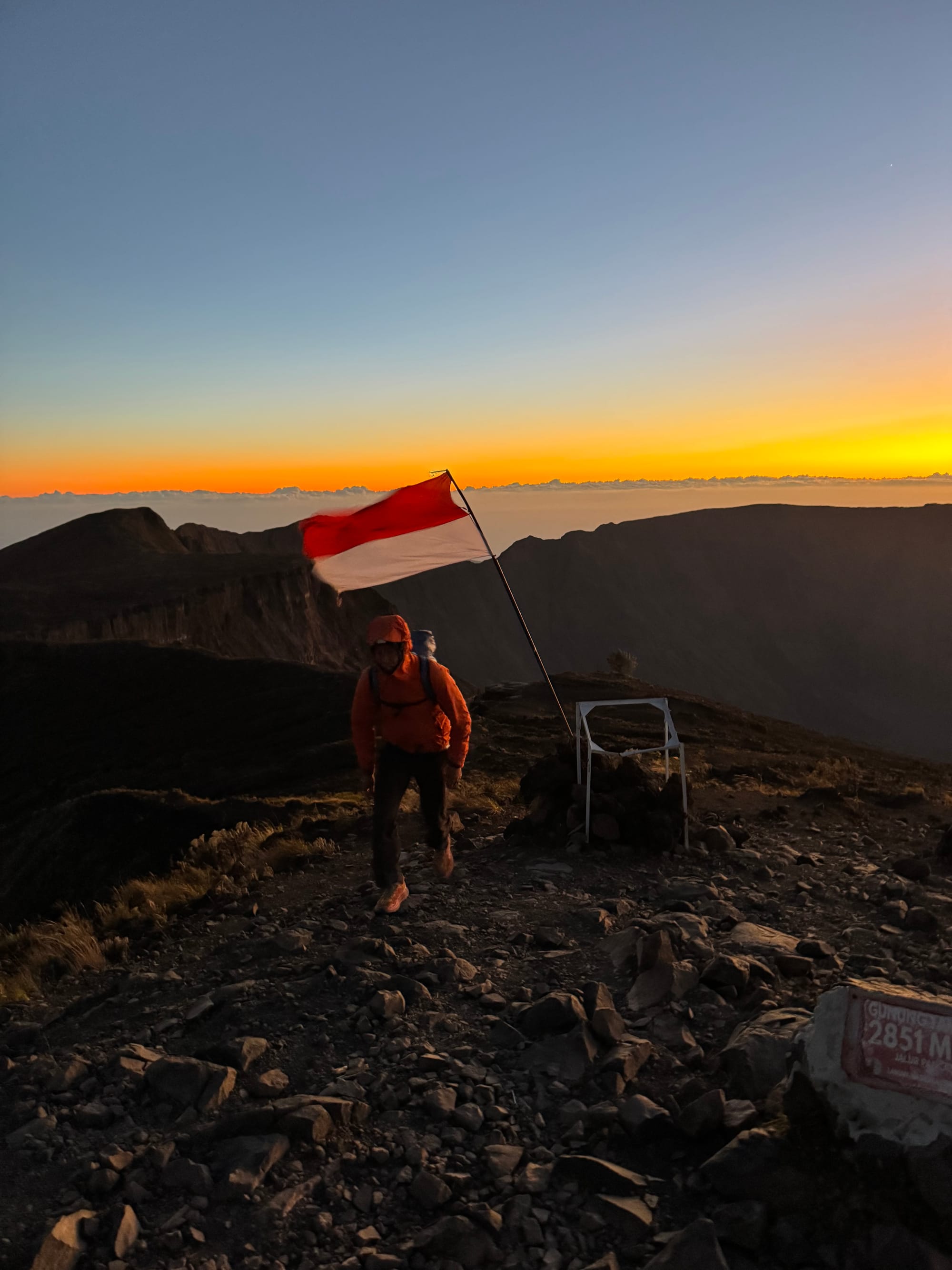
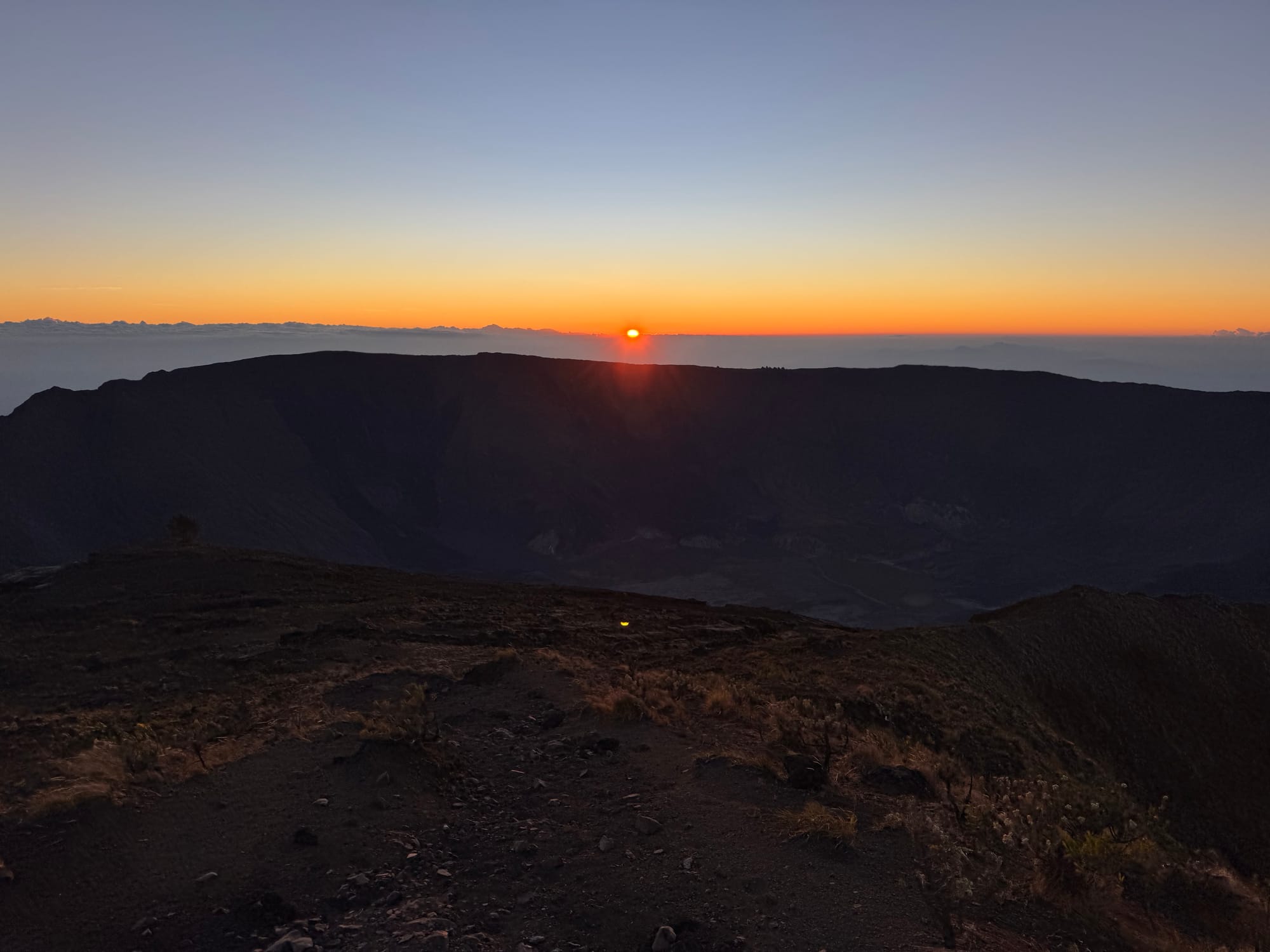
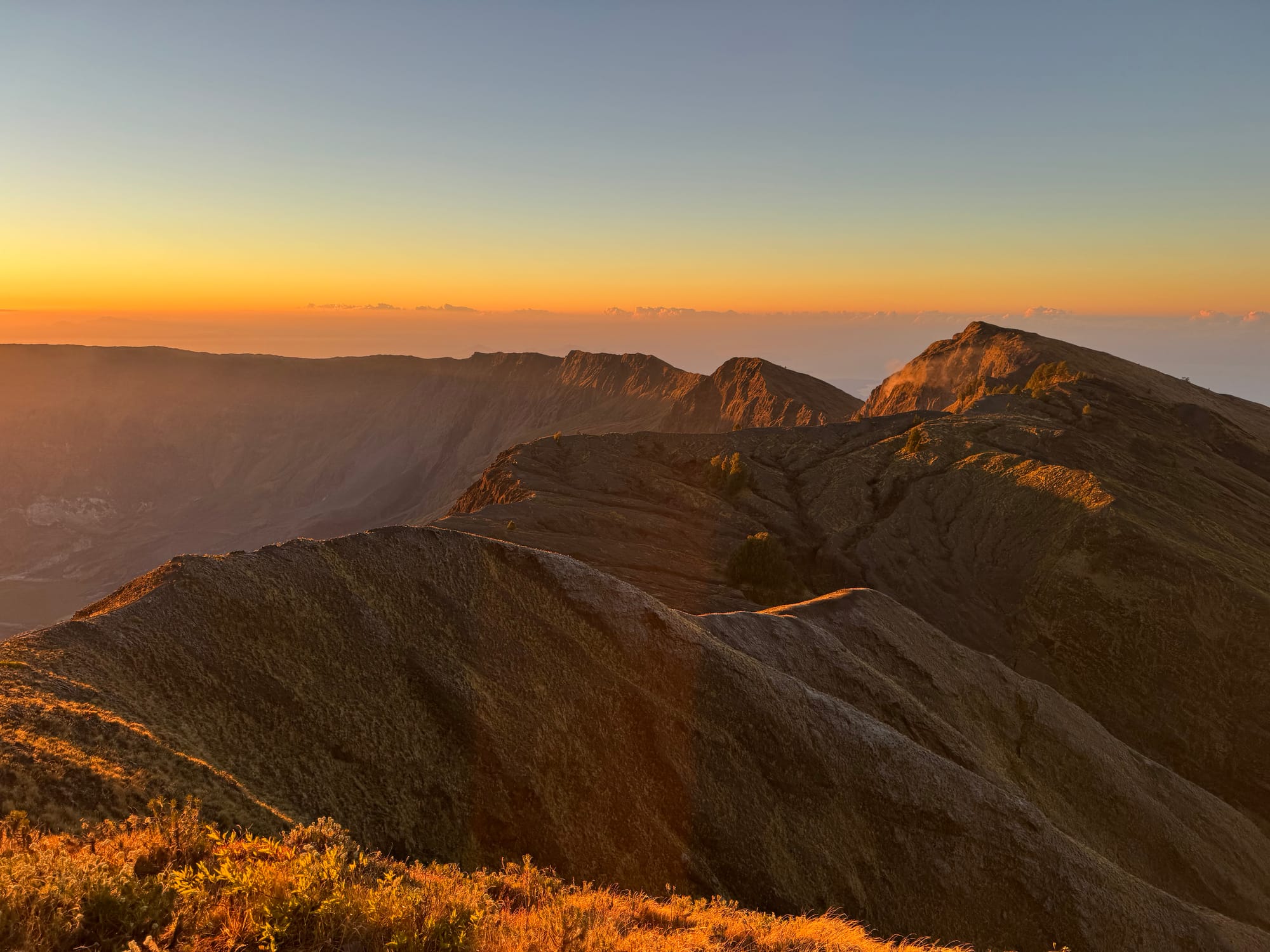
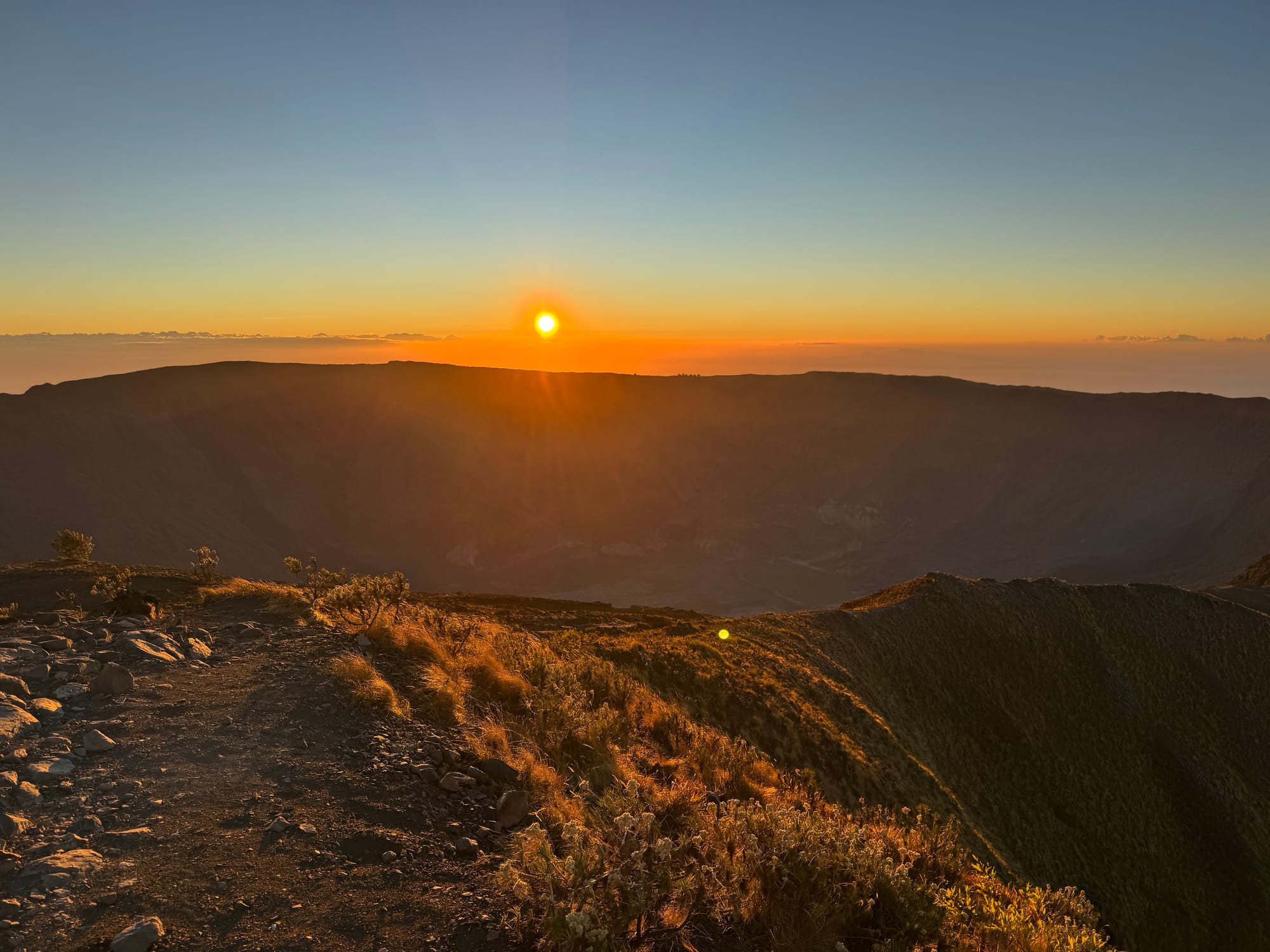
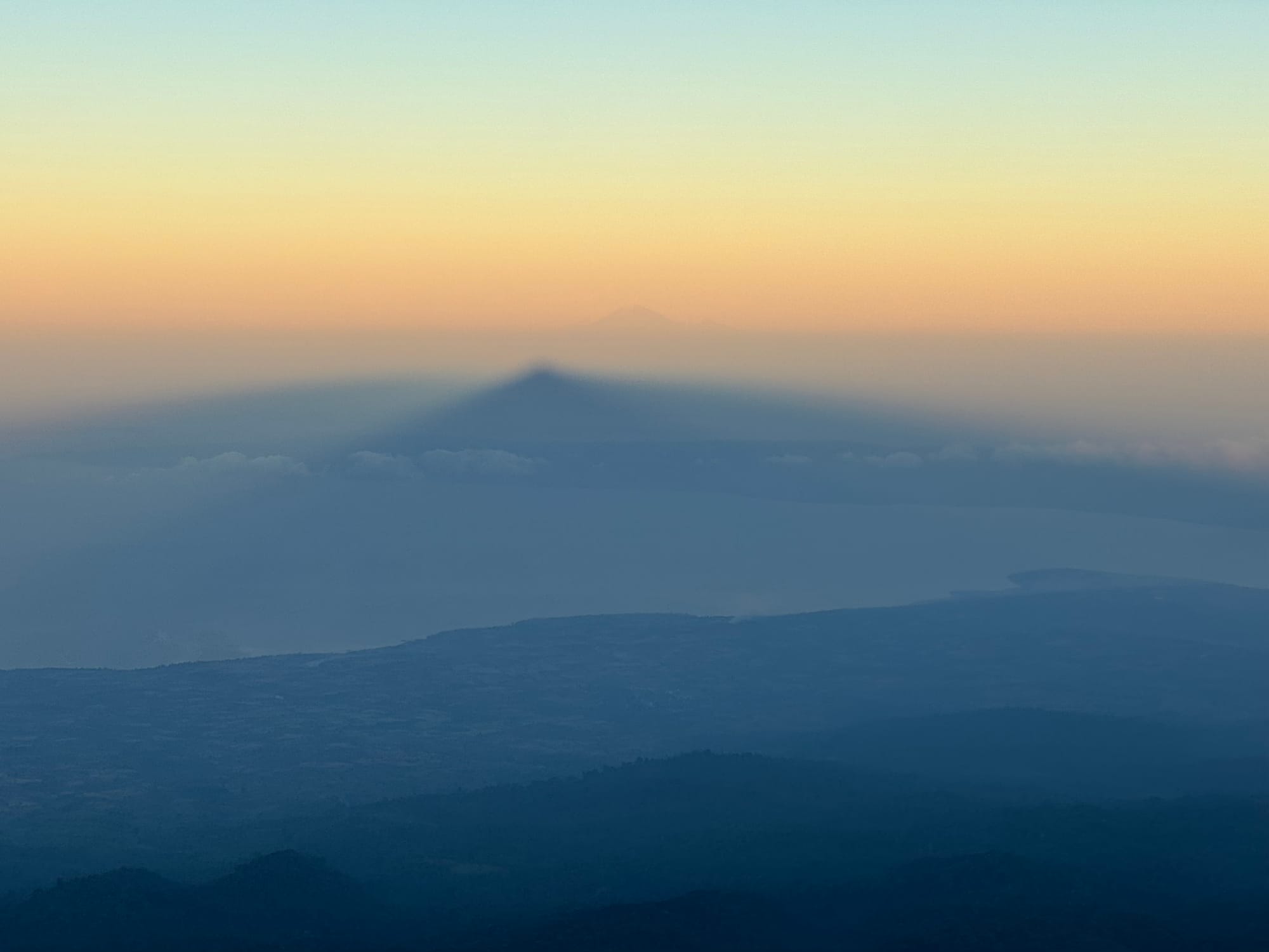
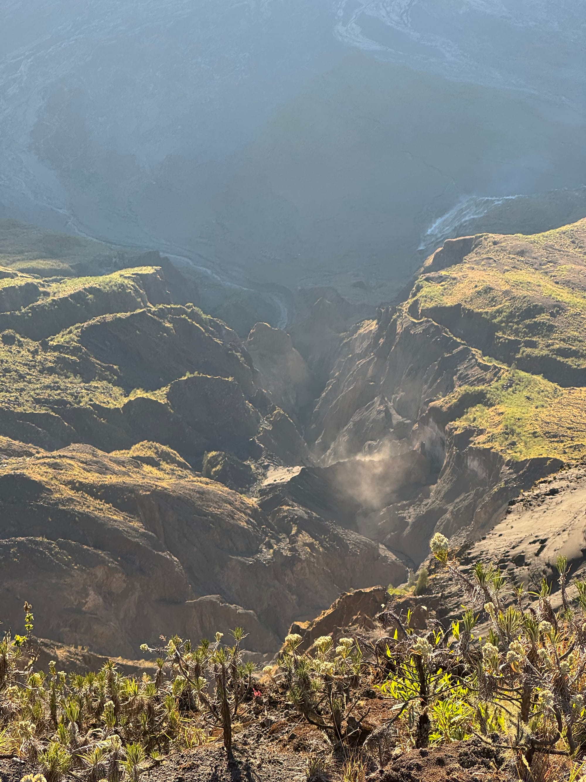
After a few minutes on the summit we returned to the crater rim. I watched sunlight reveal the cliffs and the crater floor far below me. Two hundred years of erosion had already carved deep canyons leading to a crater lake. Smoke erupted from several vents.
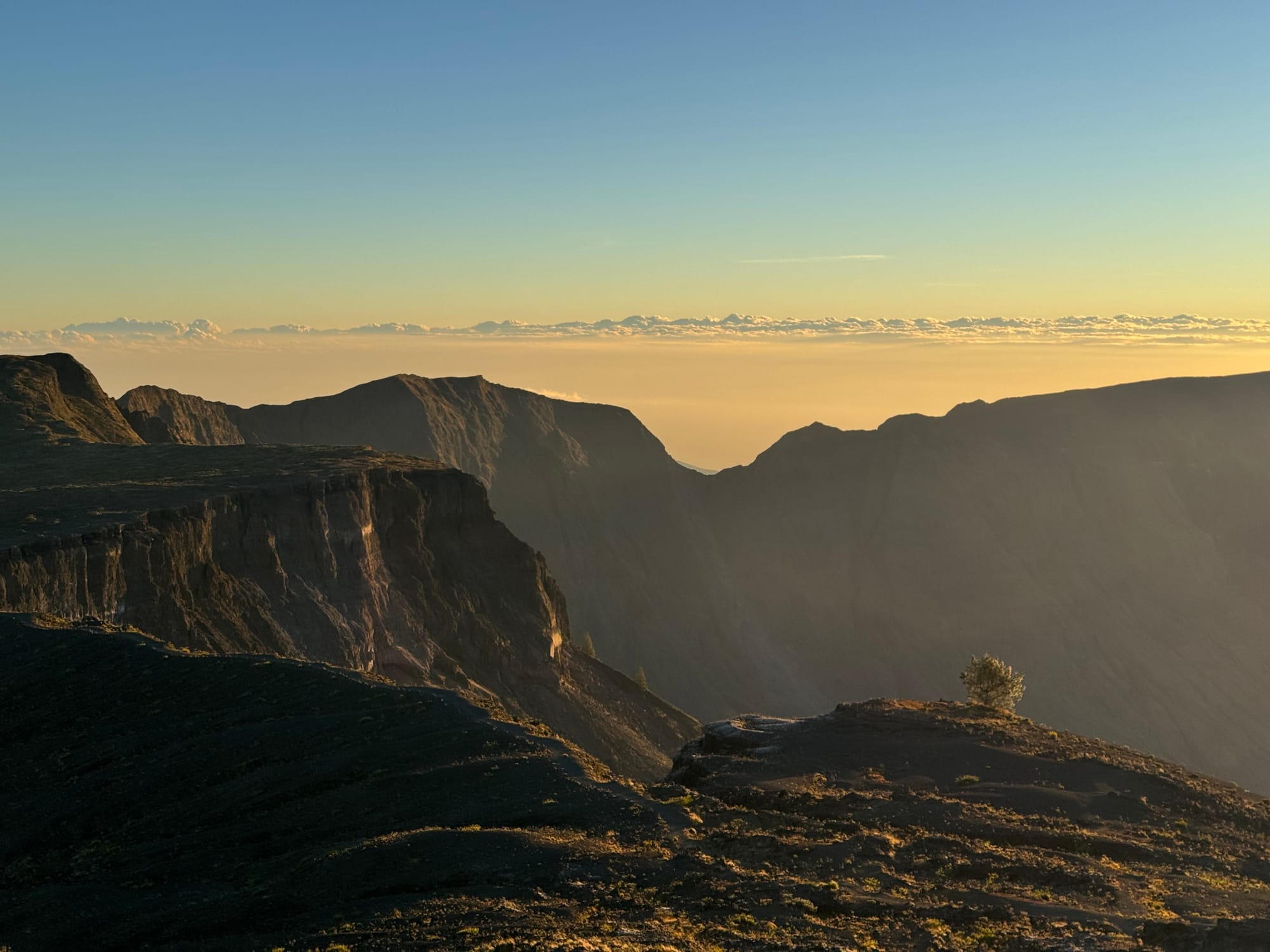
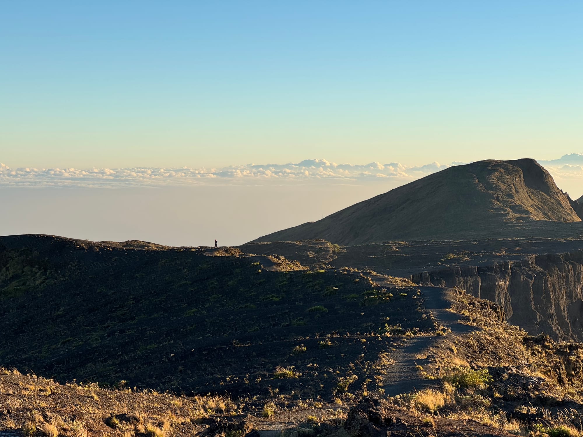
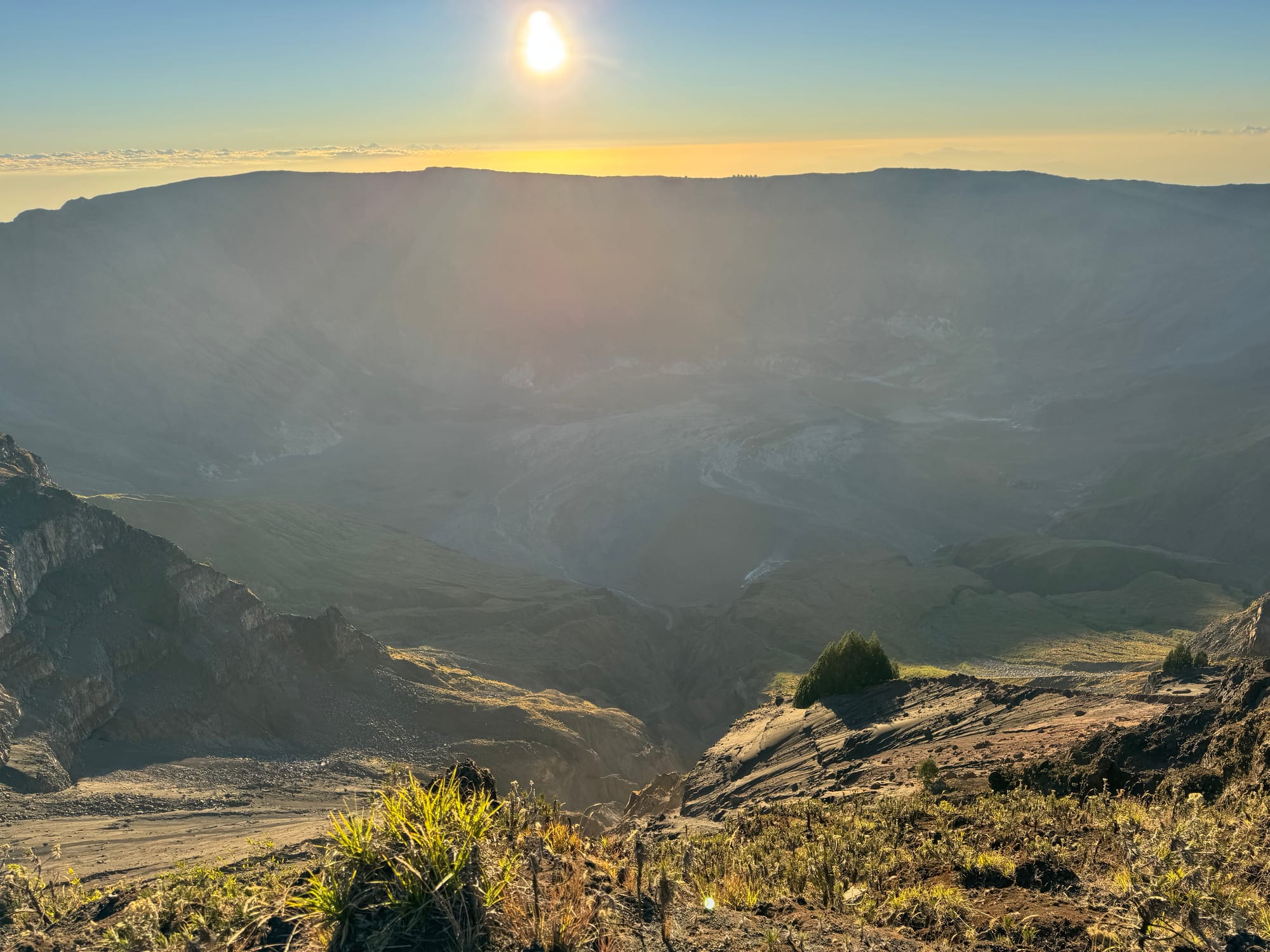
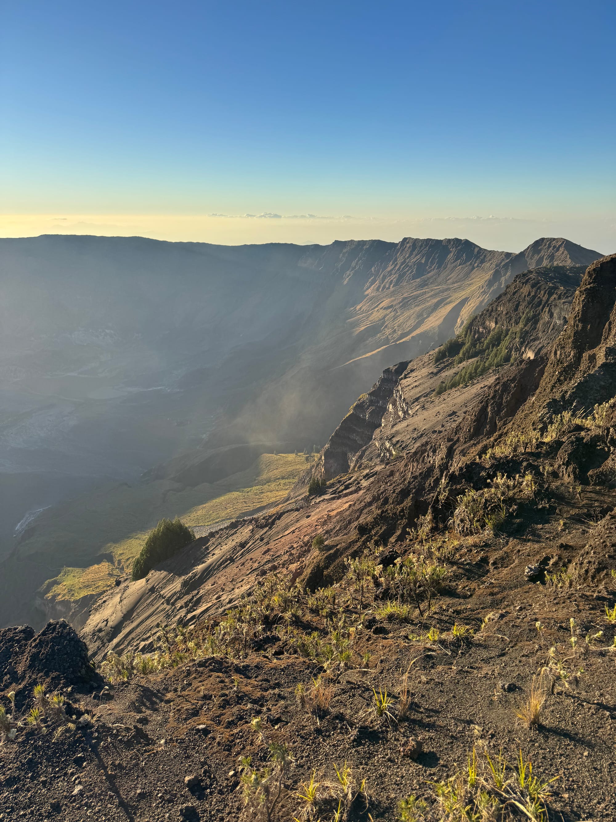
I returned to the camp, we had lunch, then we continued down.
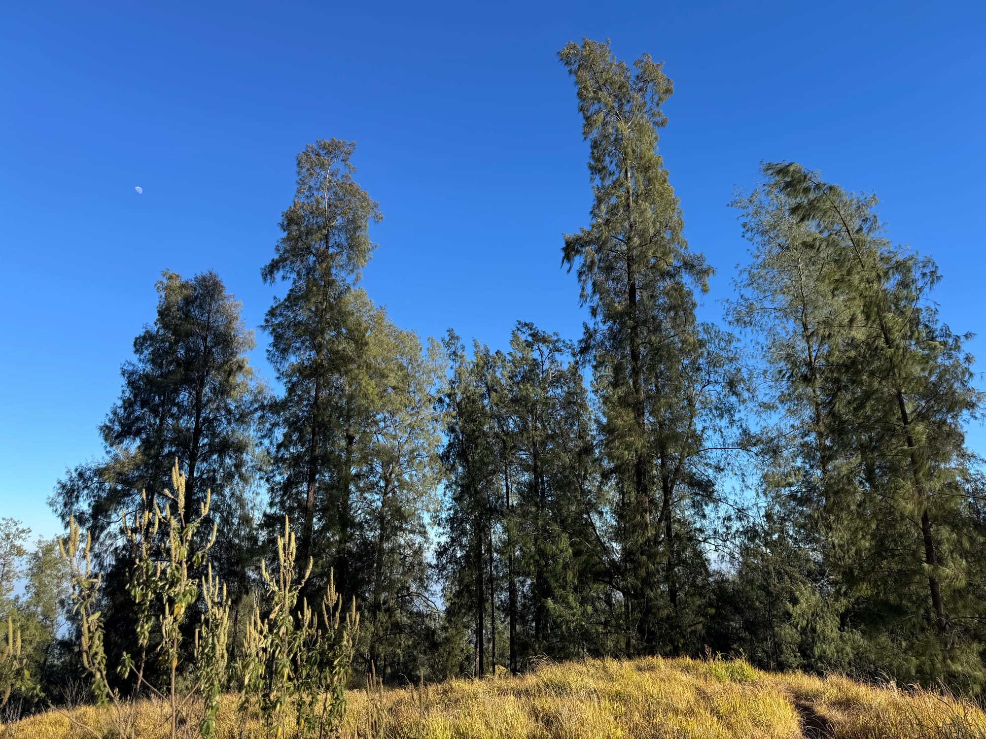
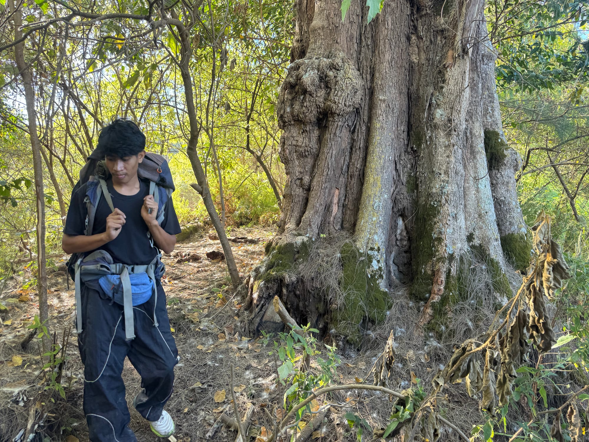
We reached Pos Ojek in the early afternoon, went back to town, and relaxed.
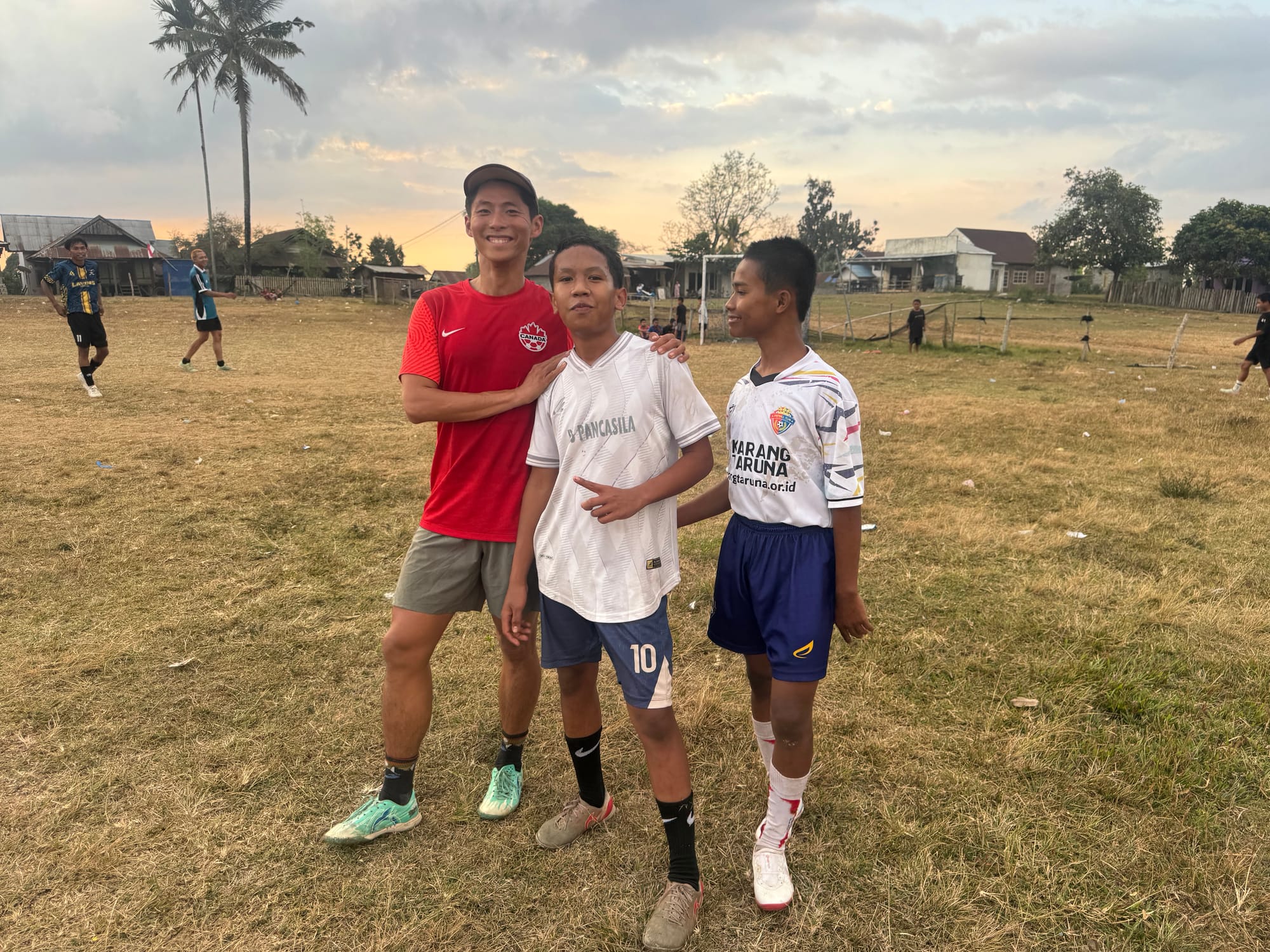
We spent the afternoon wandering around Pancasila.
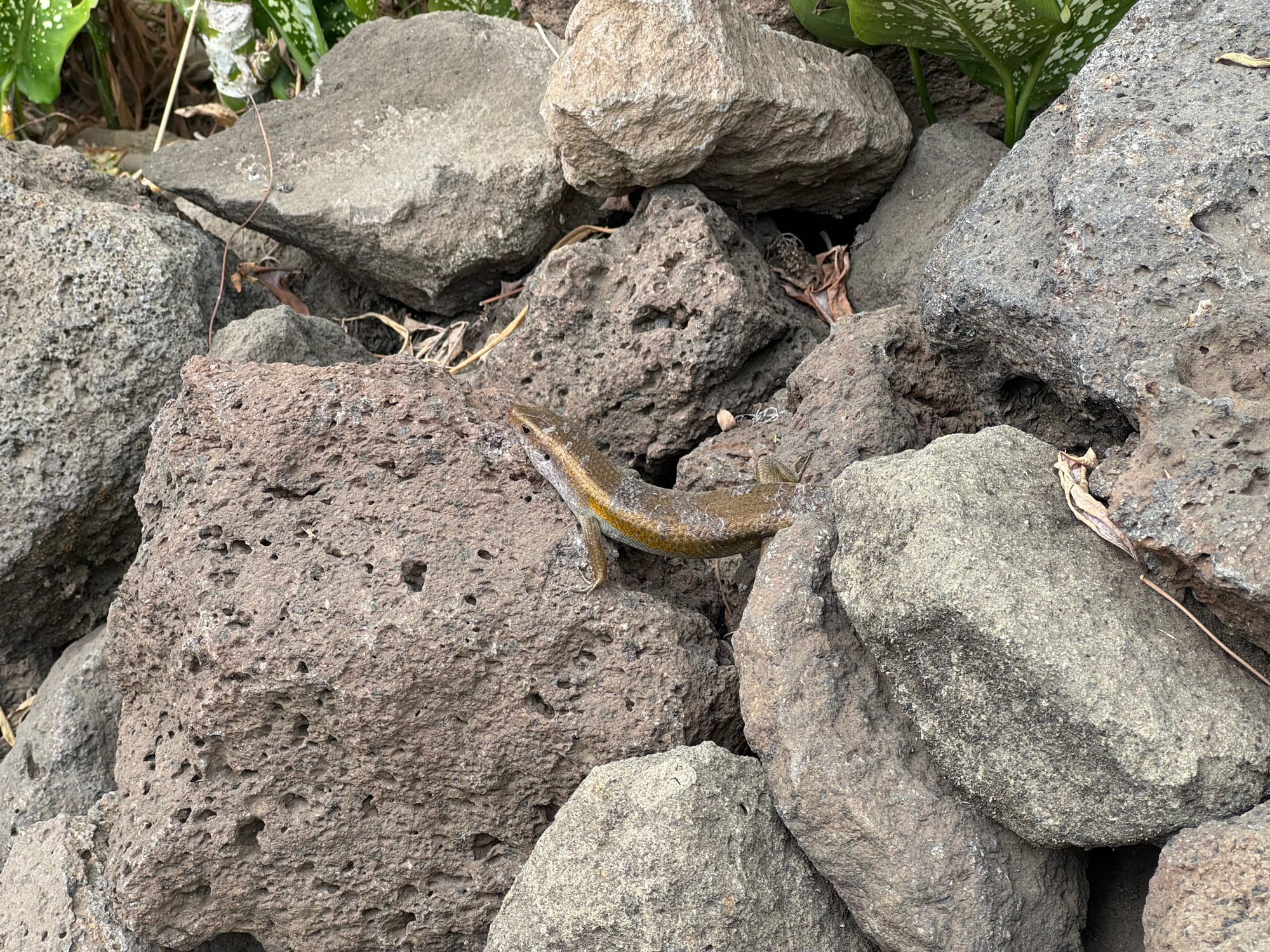
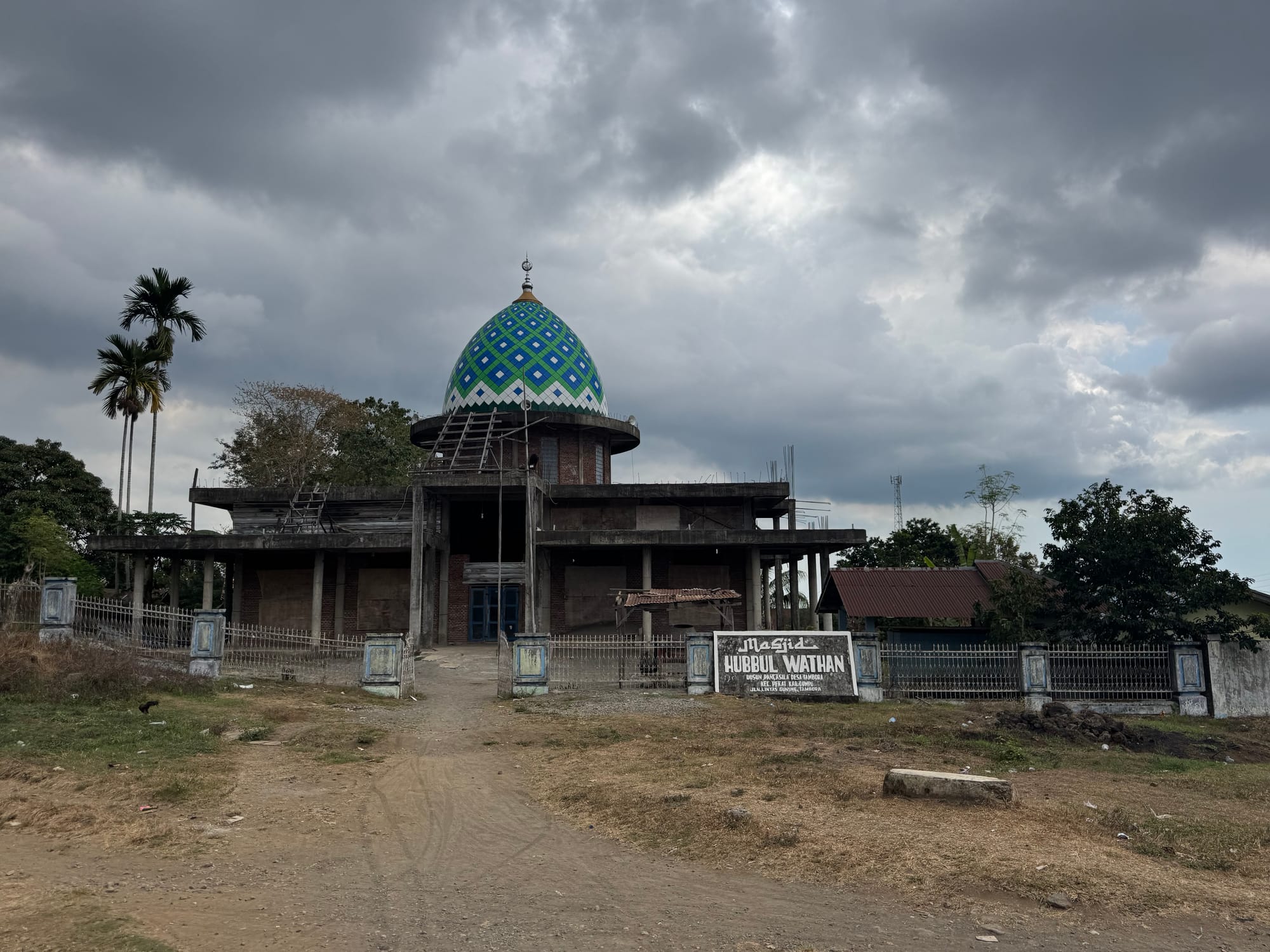
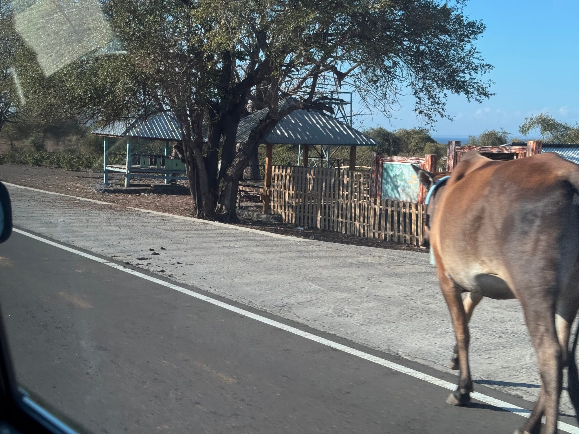
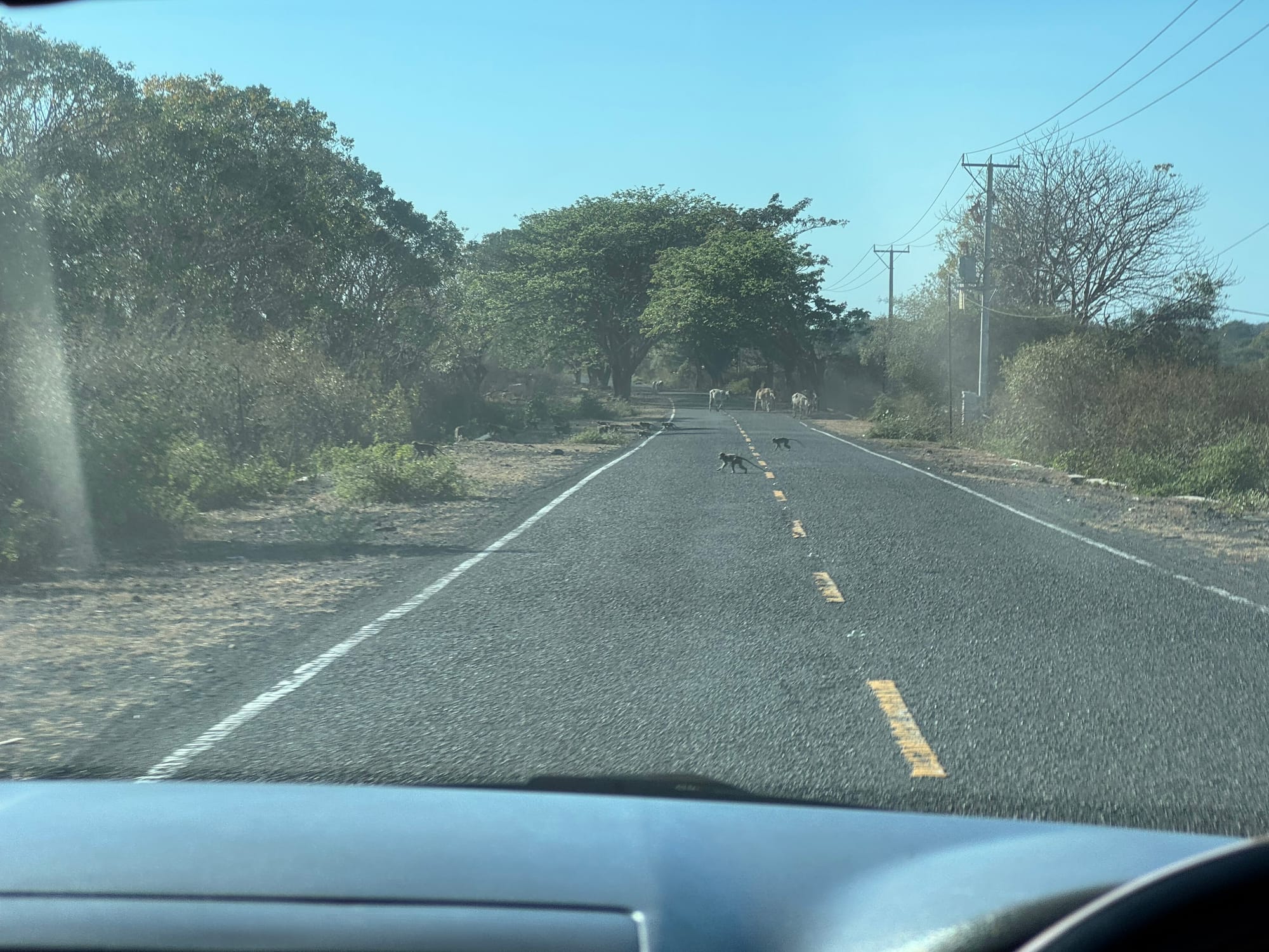
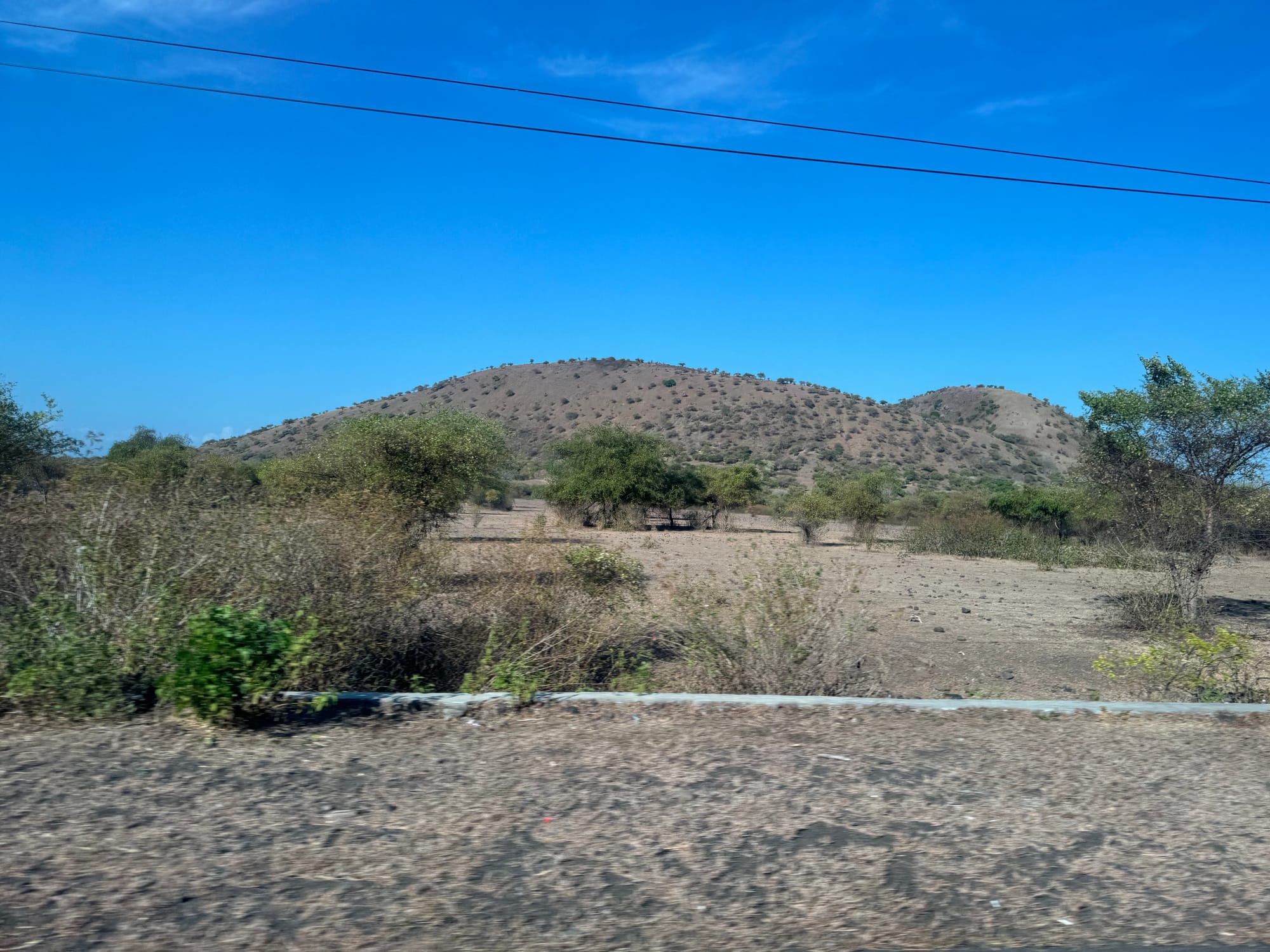
The next morning, we drove back to Bima, admiring the coastal scenery we’d missed on the drive in. Small volcanic cones from the Tambora massif rose above cane fields and pastures, with the ocean to our right and Moyo Island and other small islands on the horizon. Every few minutes, horses, cows, or monkeys would block the road and Man would honk the horn to shoo them away. Eventually we reached Bima and flew to Lombok. The small plane was mostly occupied by mothers and babies. In less than an hour we landed in Lombok, beginning the next adventure.
Member discussion