Gunung Agung via Pura Pasar Agung
Date: August 30, 2026
Distance: 8.26 km
Elevation gain: 1426 m
Gunung Agung is the highest peak on the island of Bali, reaching over three kilometres tall. It occupies an important place in the island’s culture, being considered a holy mountain, and the most sacred temple on the island (Pura Besakih) is located on its slopes. Its last major eruption in 1963 was one of the largest in Indonesian history. More recently, it erupted in 2017-19 and was closed for a couple years, but it has reopened.
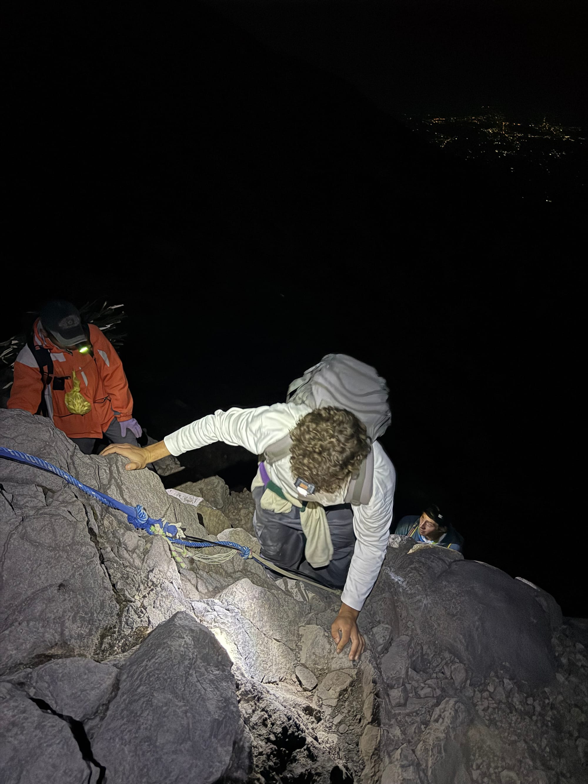
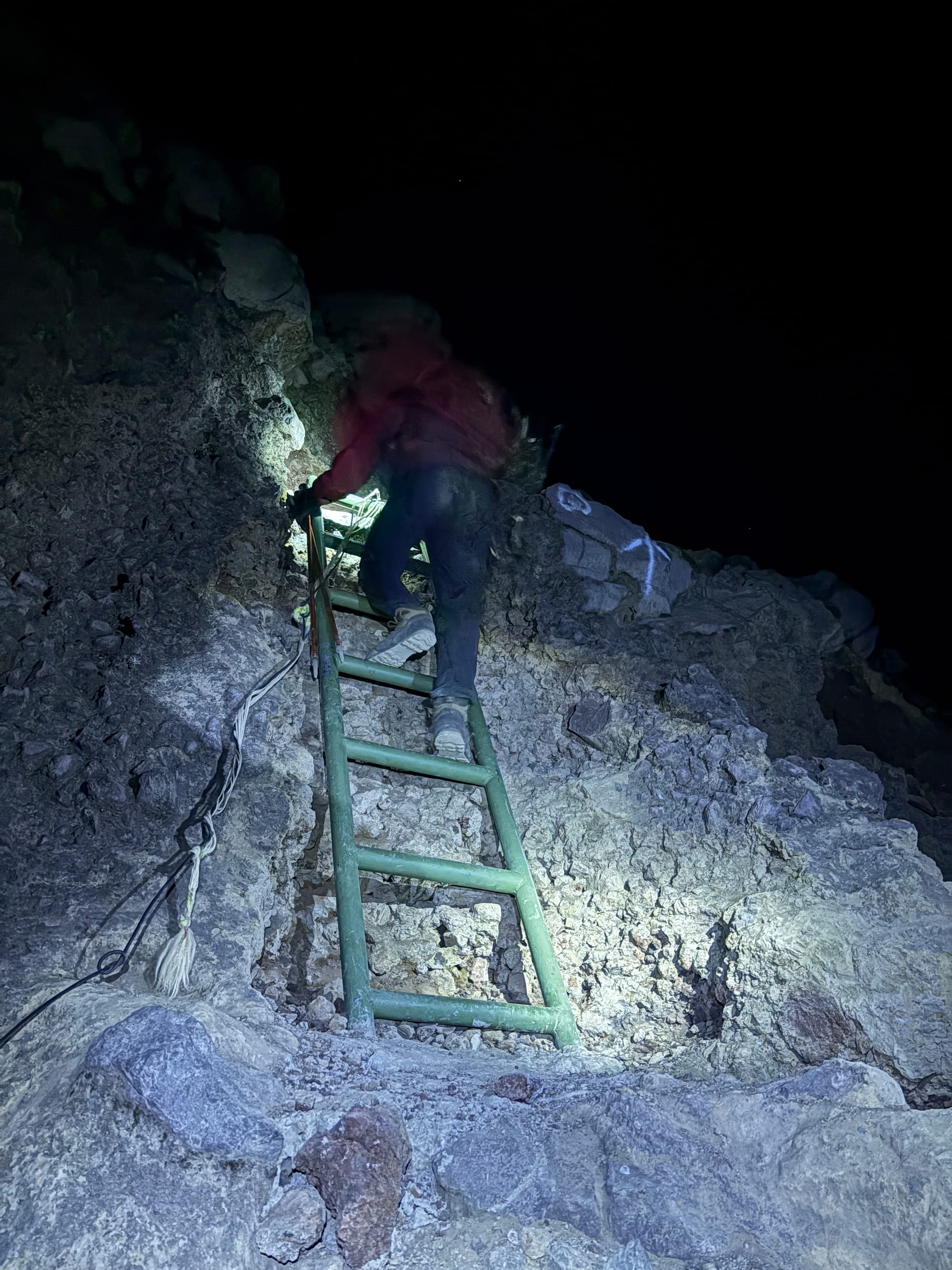
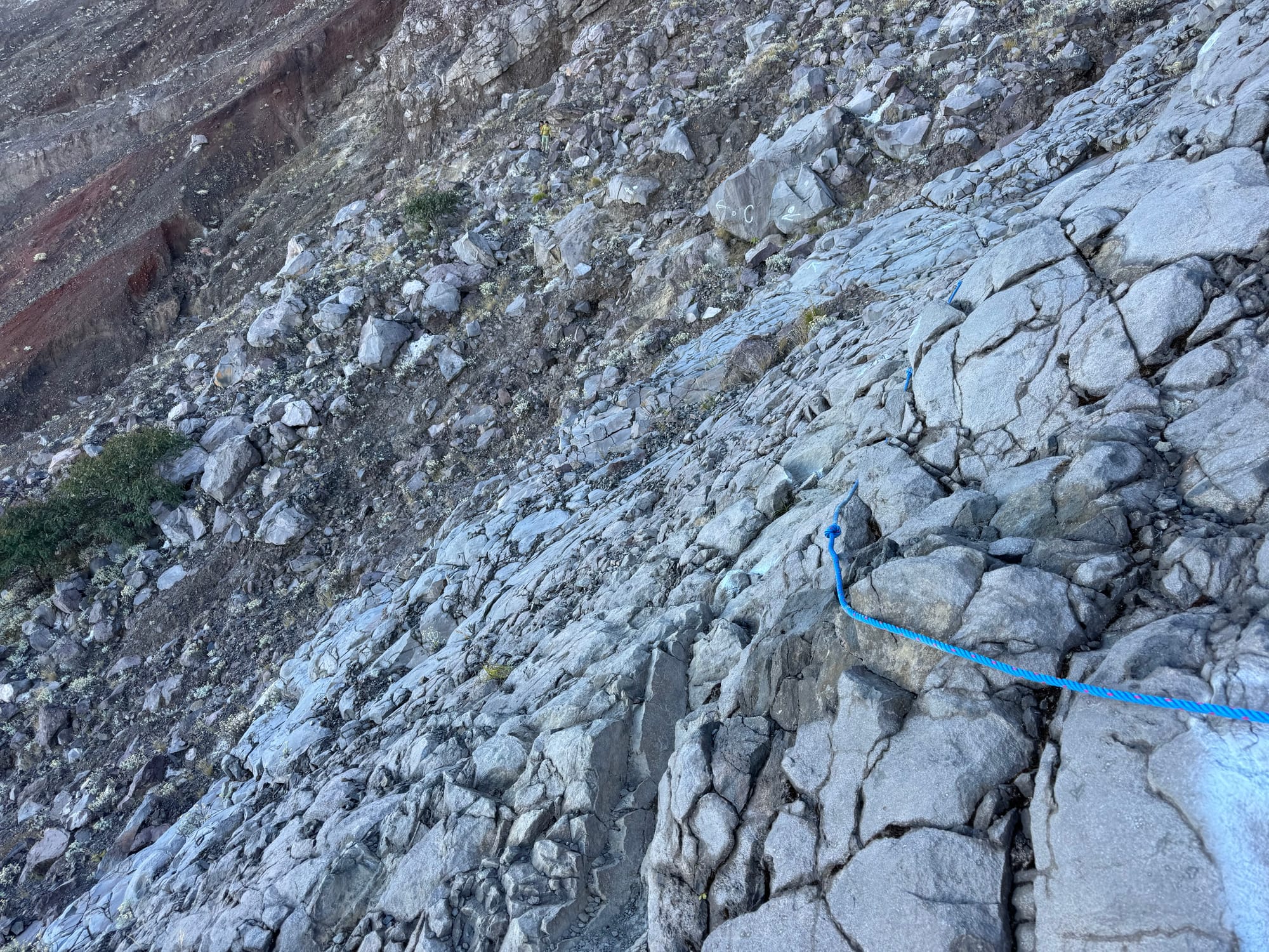
There are two routes to the summit. The most popular route leaves from the southwest at Besakih, leading to the true summit with no scrambling needed. There is another route that leaves from the south at Pura Pasar Agung. The main trail is non-technical and reaches the crater rim. A lot of websites will say that the true summit is inaccessible from Pura Pasar Agung, or that it requires difficult scrambling. However, there is a side trail that reaches the true summit. This route had some scrambly parts, but there are fixed ropes everywhere, ladders have been placed on the most technical areas, and the route is marked with spray paint. I'd call it a class 2 scramble by BC (Canada) standards.
I’d made plans to climb Agung with a group, but the plans fell through at the last minute, leaving me scrambling to find a guide. Immediately after climbing Mt. Batukaru, I got service and reached out to Dika (Whatsapp: +62 821-9030-2736), who had been mentioned in some Alltrails reports, and he found a guide who was available. I was also joined by Marcel from Germany who was doing an internship in Bali and wanted to climb Agung. We had to take the Pura Pasar Agung route, though, since all guides at Besakih were fully booked.
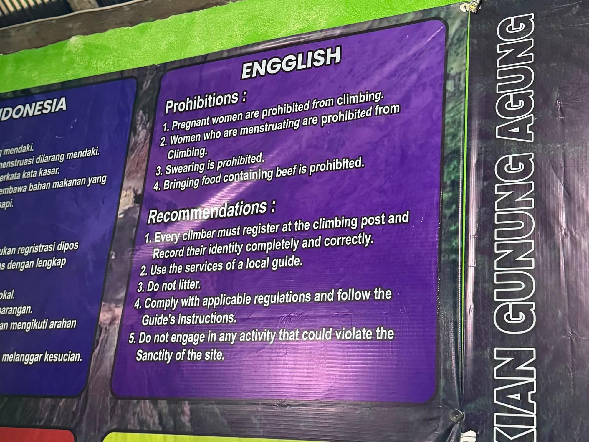
I was picked up from Ubud at 10pm and the driver dropped us at the checkpoint just under two hours later. Here we filled out a form.
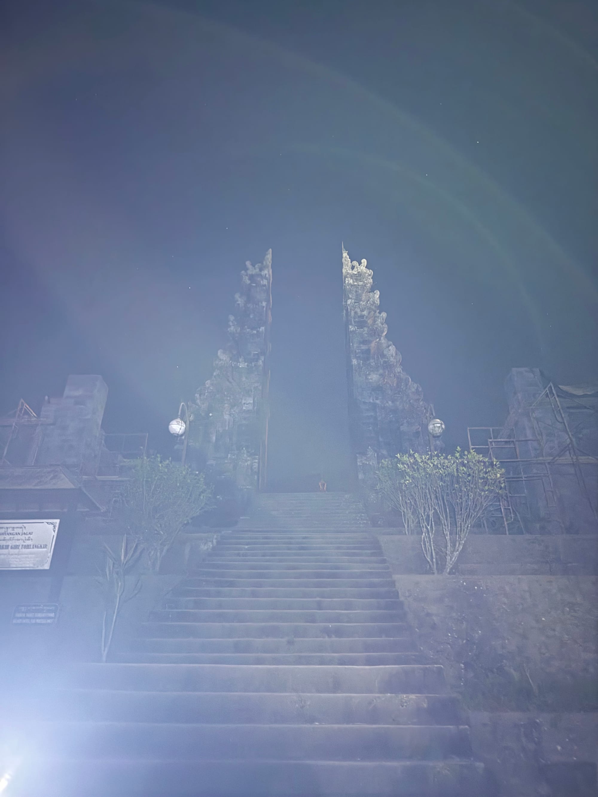
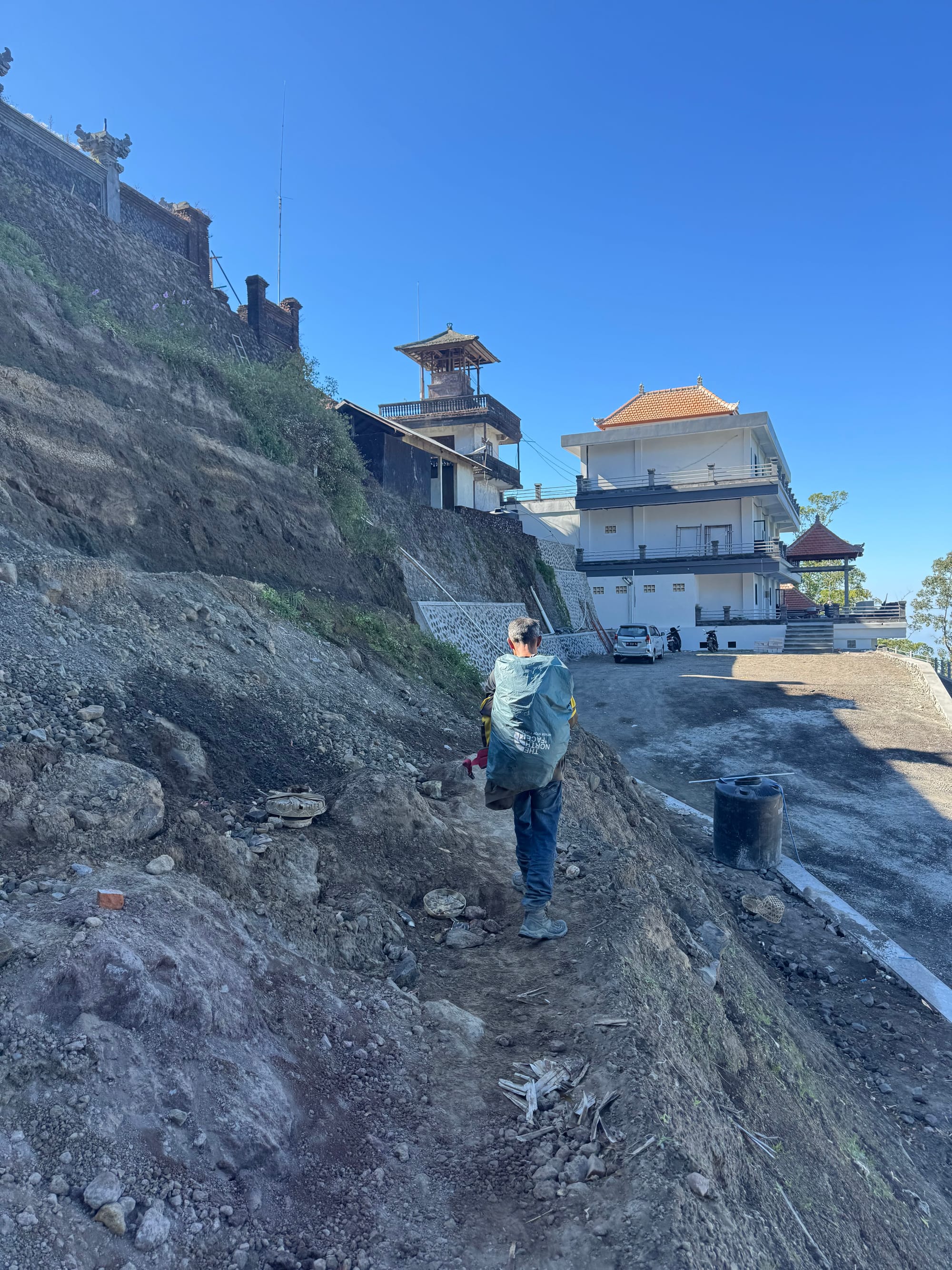
We then drove up the road to the temple parking lot, where we met our guide, Ketut. We walked up some newly constructed steps to the temple and Ketut said a prayer.
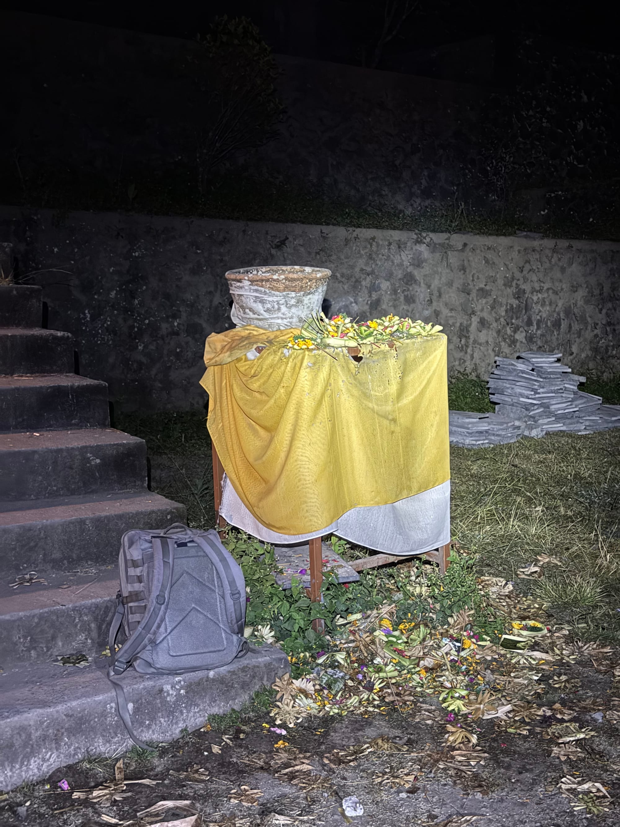
Some navigation through a construction site took us to the trail. Ketut was coughing often but set a good pace. We passed Pos 1 (a campsite) before reaching Pos 2, where we had coffee and bread for breakfast.
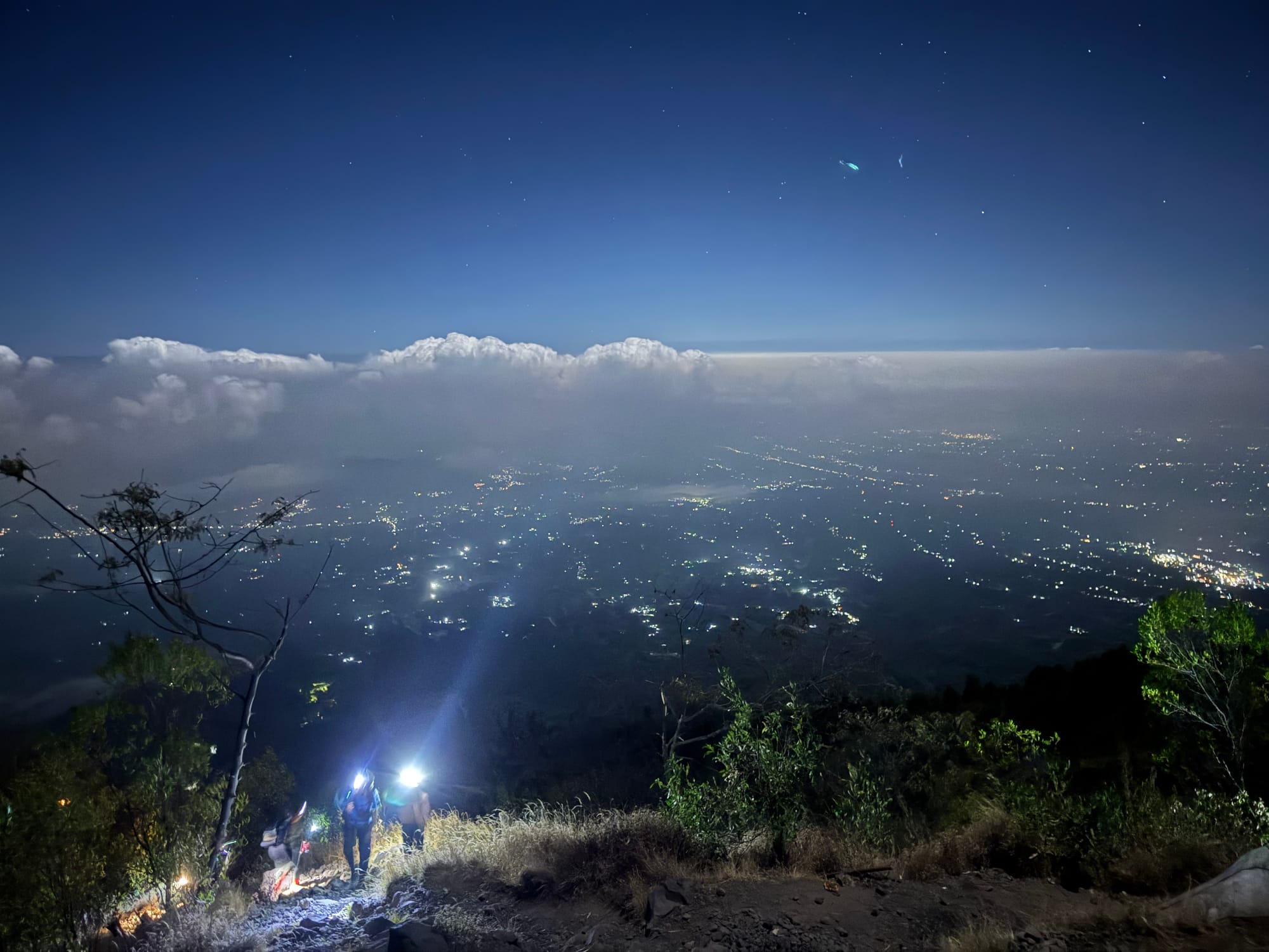
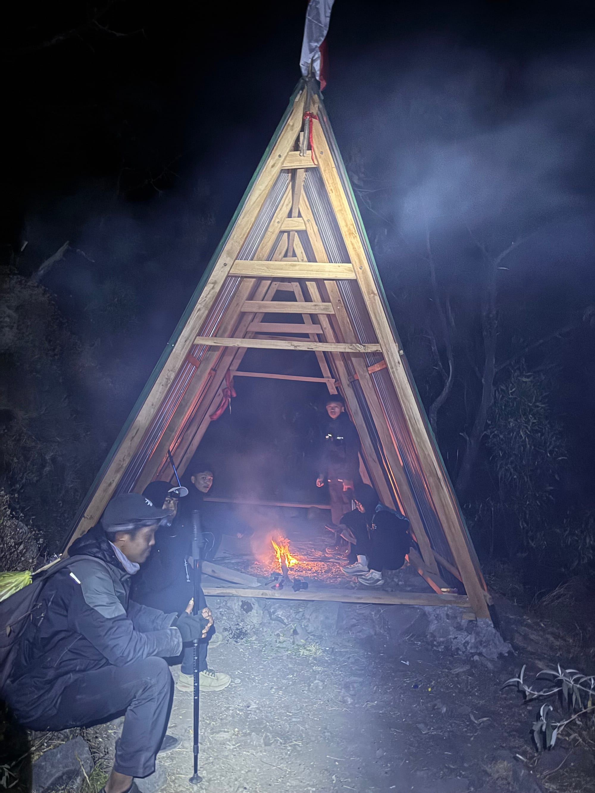
Soon after pos 2, the trail splits, so we took the more adventurous route towards the crater rim. There were many small ups and downs into and along ravines but fixed ropes and ladders were present for almost all the steep sections. For a challenge I scrambled up some of the walls, bypassing a couple ladders.
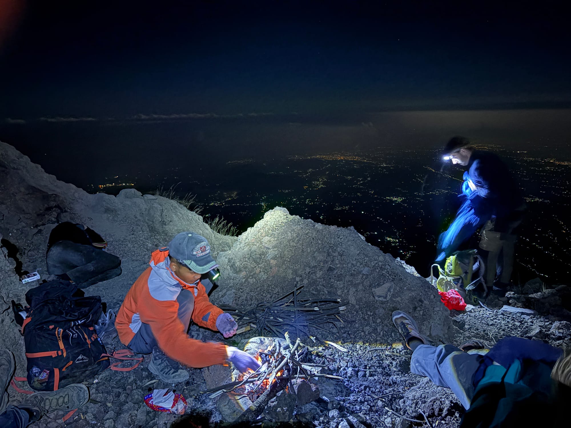
We reached a flat area about 100m below the summit at 4am, two hours before sunrise, so a longer break was taken here. It was quite cold and windy (maybe 5-10 degrees with windchill) but I put all my layers on and had a nice nap.
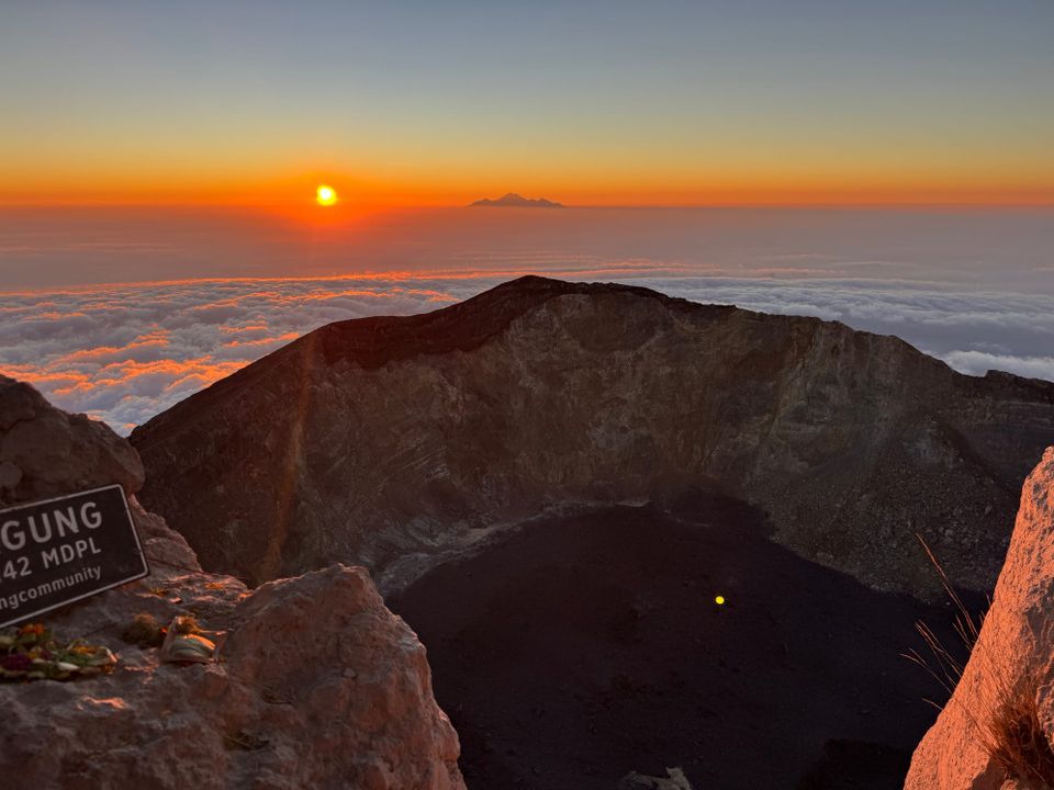
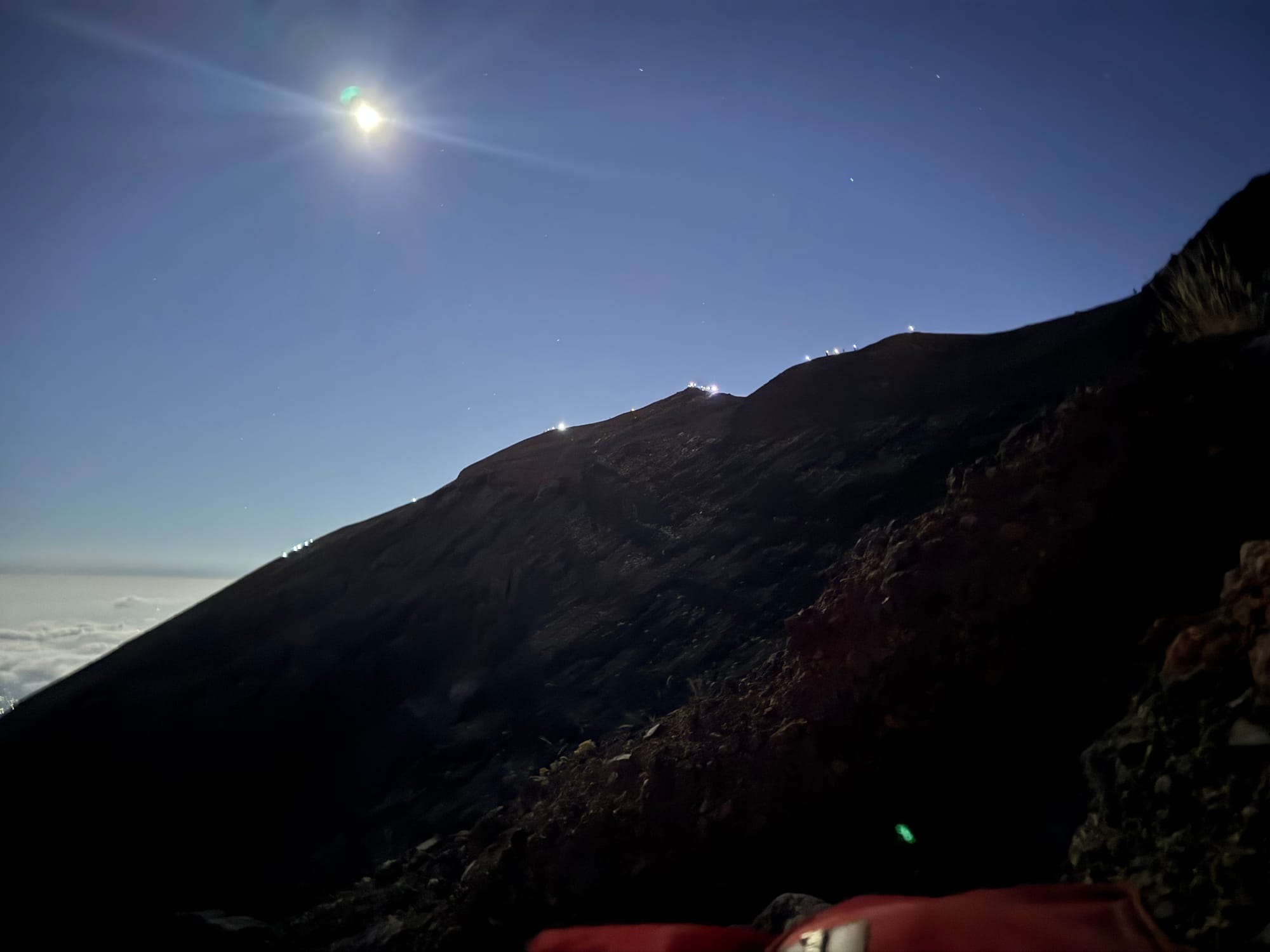
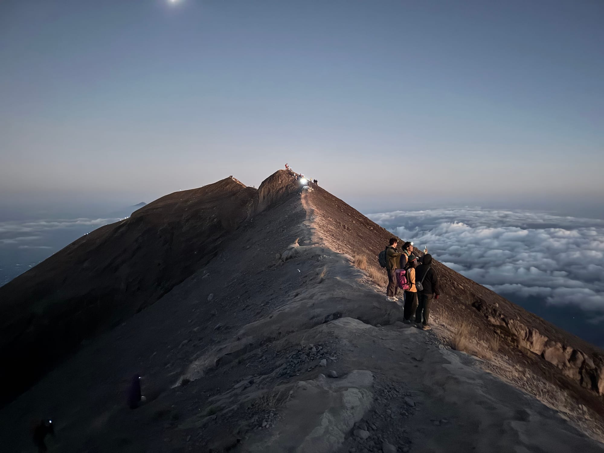
Around 5:30 it was time to keep going. The last push was a bit loose but eventually we made it to the ridge. On the other side, an ocean of clouds lay below us.
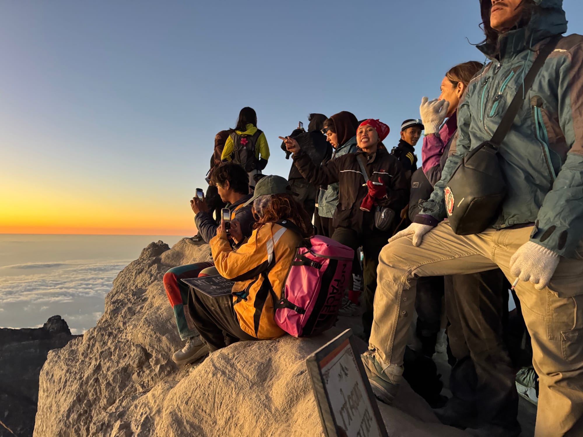
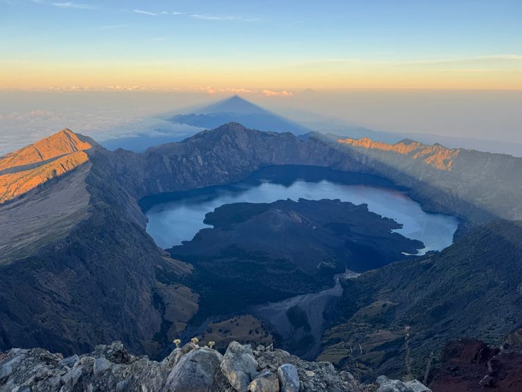
From there it was a short walk to the summit. The crater was quite spectacular. It was quite crowded, as expected, but the views made up for it.
In the distance we could see Mt. Rinjani on Lombok, seven hundred metres taller.
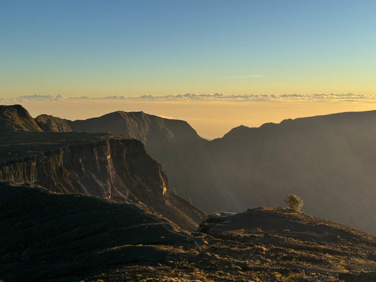
The south of the island was mostly cloud-free.
As expected, sunrise was beautiful.
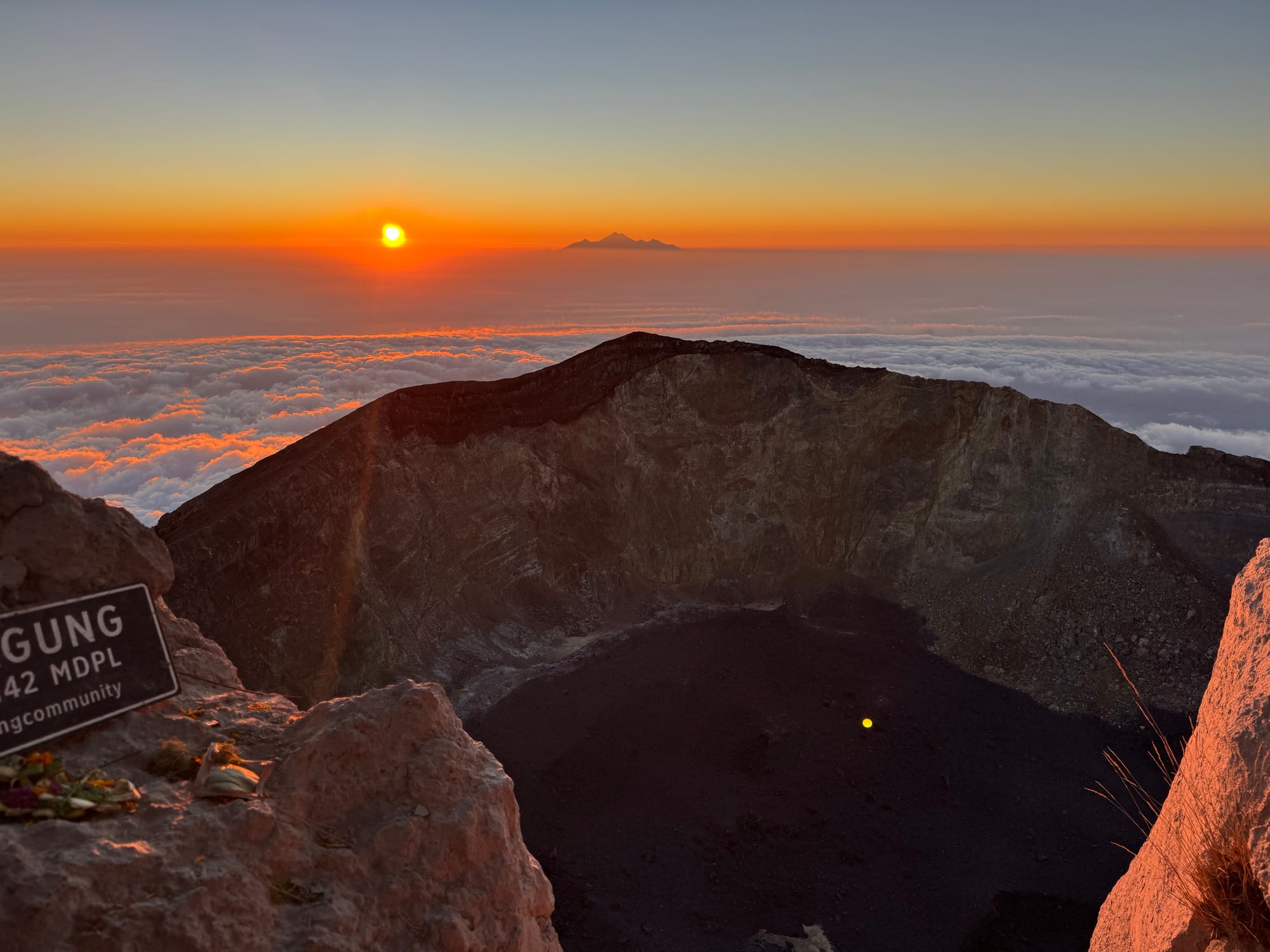
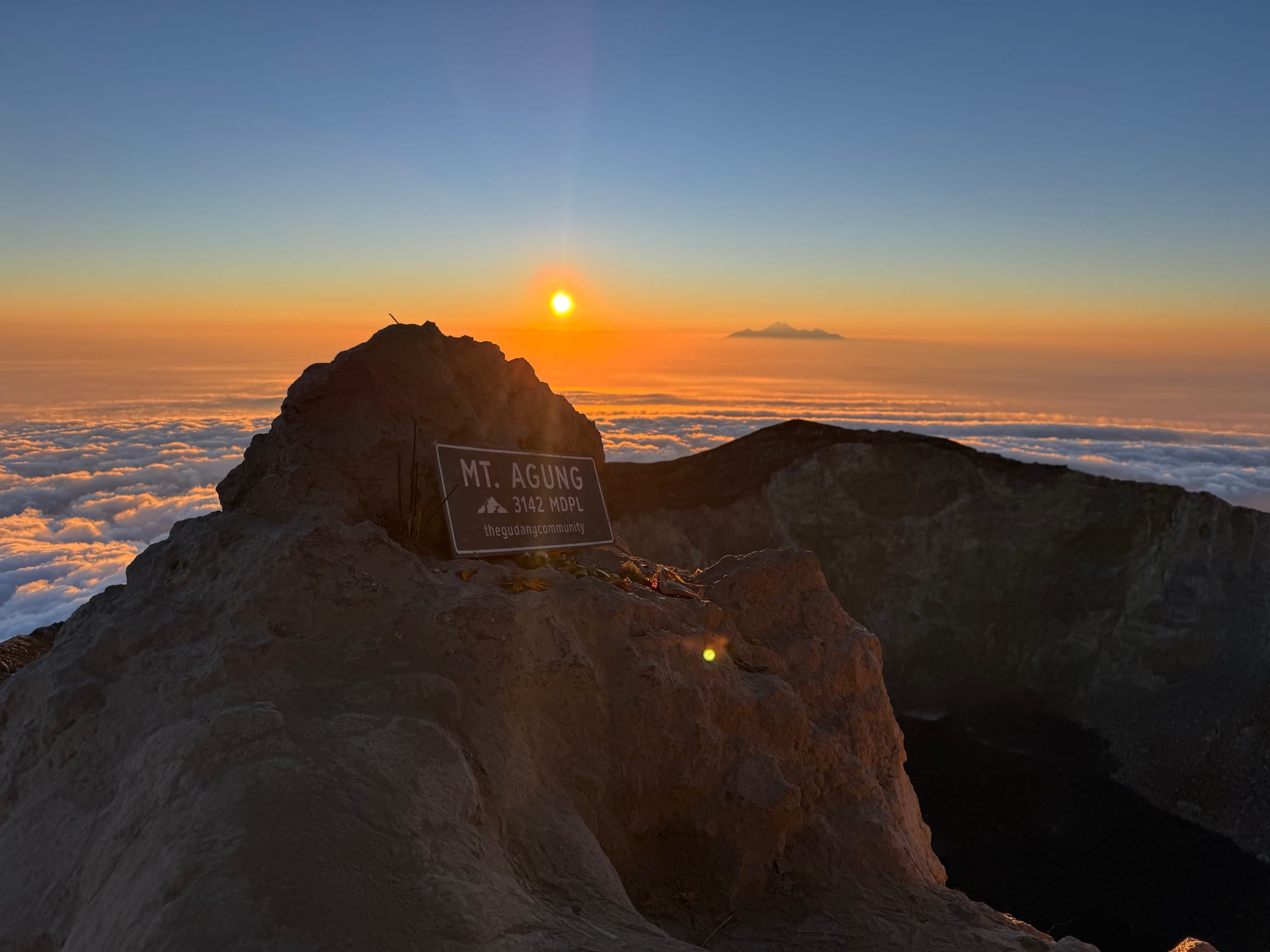
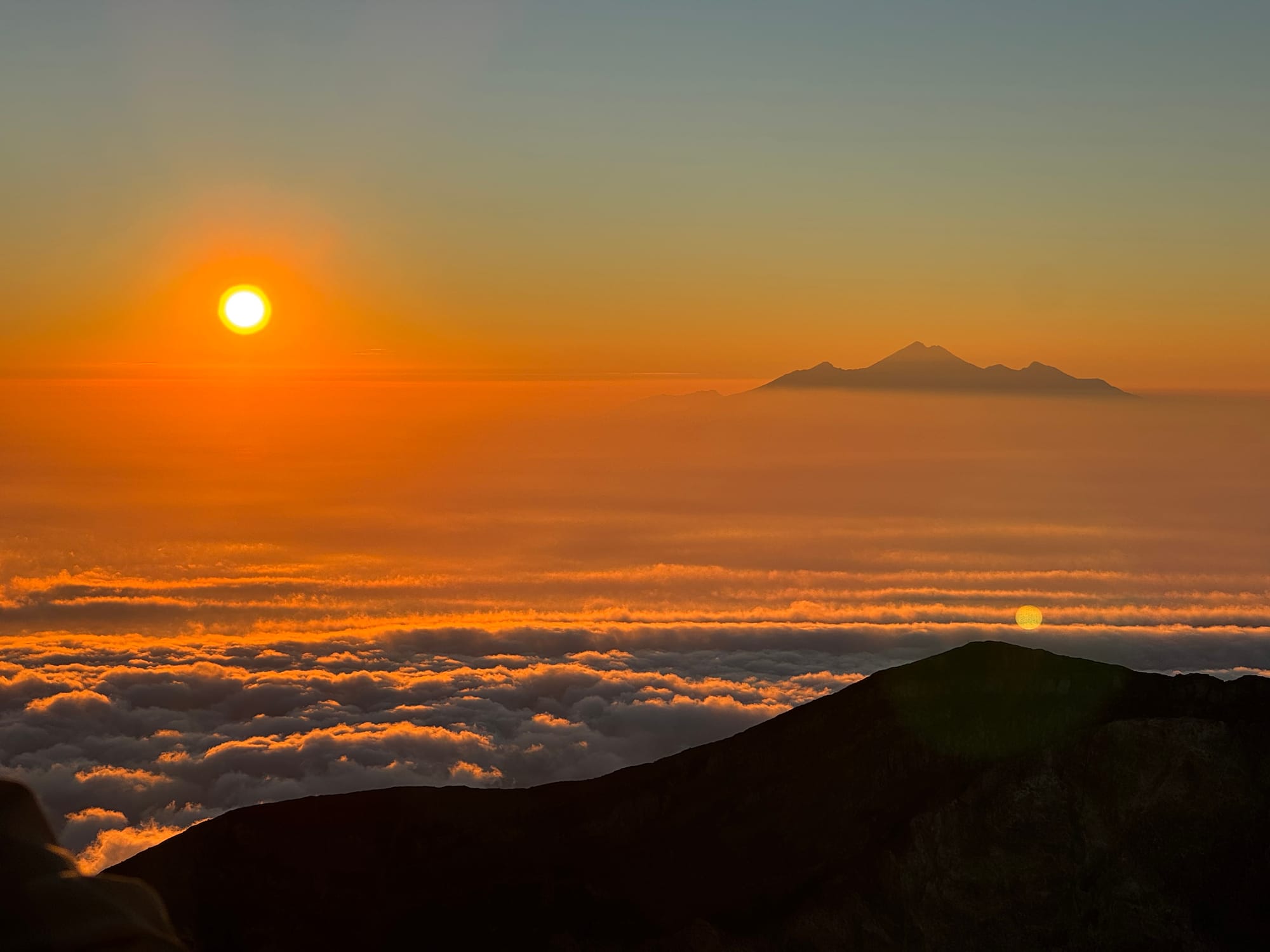
Once the sunrise had concluded, we started heading down. We were one of the faster groups so it was decided that we would go first and avoid the traffic jam. This worked well and the rest of the descent went quickly.
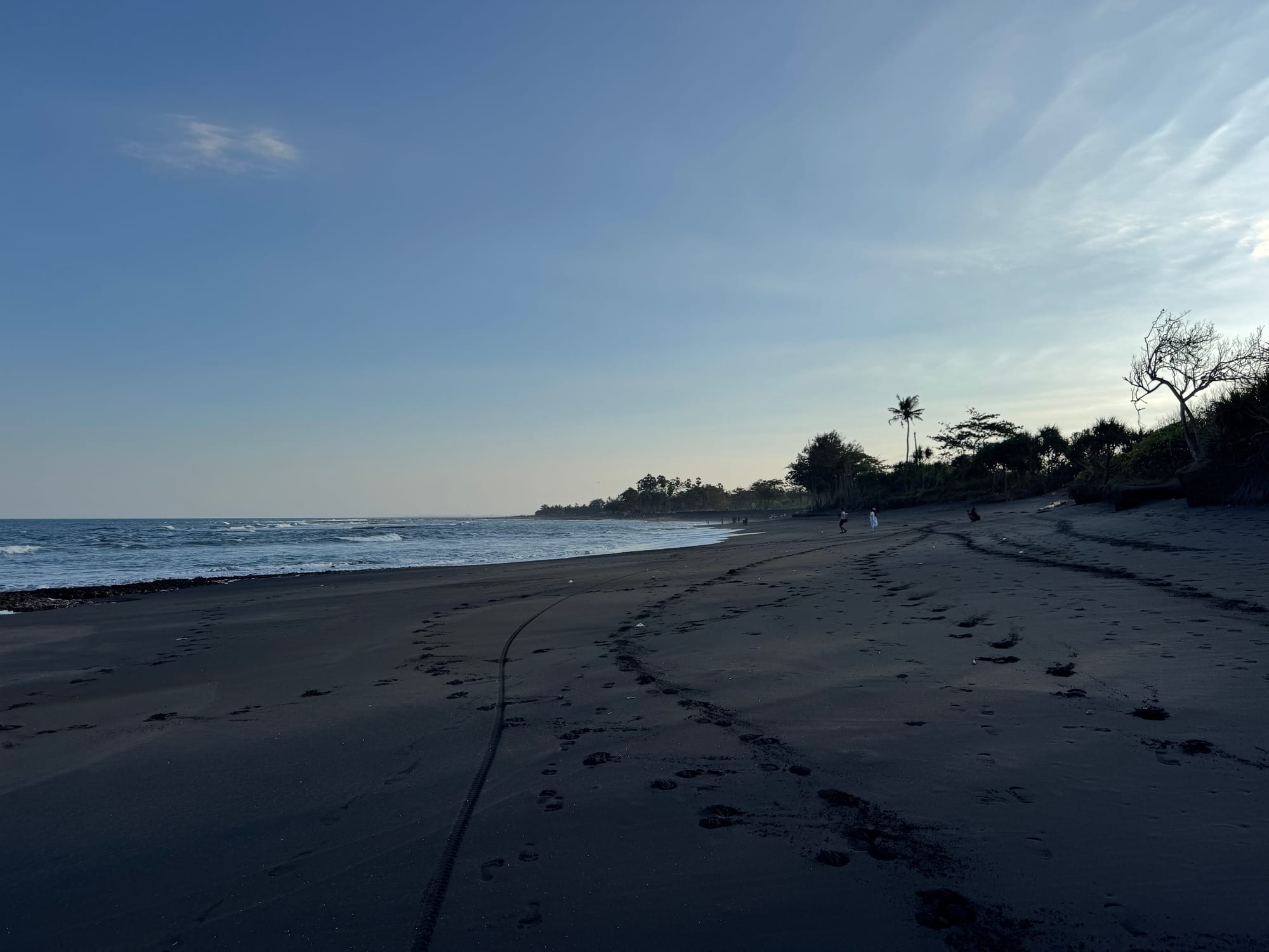
We reached the trailhead just past 9am and made it to Ubud just before lunchtime. I cleaned up, ran some errands, had lunch, then spent the rest of the afternoon on the nearest beach. A great end to my last full day in Bali.
Member discussion