Grouty Peak
Date: May 30, 2026
Distance: 15km
Elevation gain: 930m
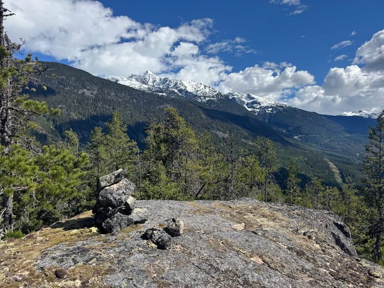
Grouty Peak is located beside the Hurley River FSR, across from the much more popular Semaphore Lakes. It offers a ridge with great views of the surrounding peaks. I think Semaphore Lakes and Locomotive Mountain are more worthwhile, but Grouty is still a great trip, and it gets far fewer visitors than Semaphore.
The hike starts with a steep grind up slopes that reach 30-35 degrees at times. If there is snow on the ground, you will want an ice axe and crampons for this section. The rest of the hike is a ridge walk. The ridge walk is not technical, although there are options to do some class 3 scrambling if you want to, and it somehow made it into the Gunn scrambles book.
The stats above go all the way to Grouty Peak, but many will stop at “Mortar Peak”, which is closer to the trailhead and offers equally good views. Grouty is 1.5km away from Mortar. Note that some maps will switch the names of Grouty and Mortar Peaks.
I hiked to Grouty Peak in May 2026. I’m also including an earlier GPS track from an attempt in October 2025 which followed the trail more closely.
The hike starts on the Hurley River FSR, about one kilometre past the Semaphore trailhead. The road is only open in the summer, usually from June to October. With this year’s abnormally warm conditions, it opened in mid-May.
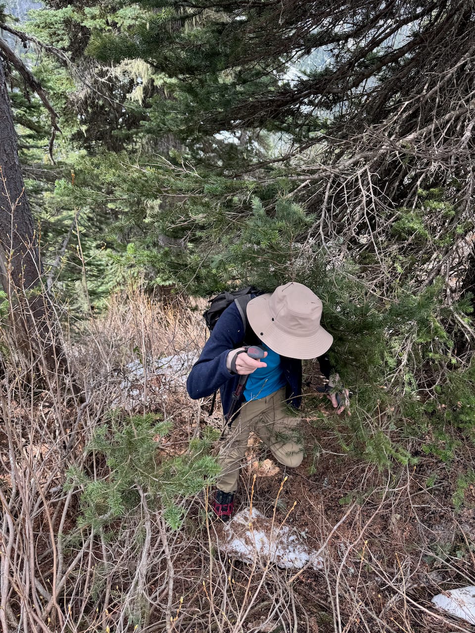
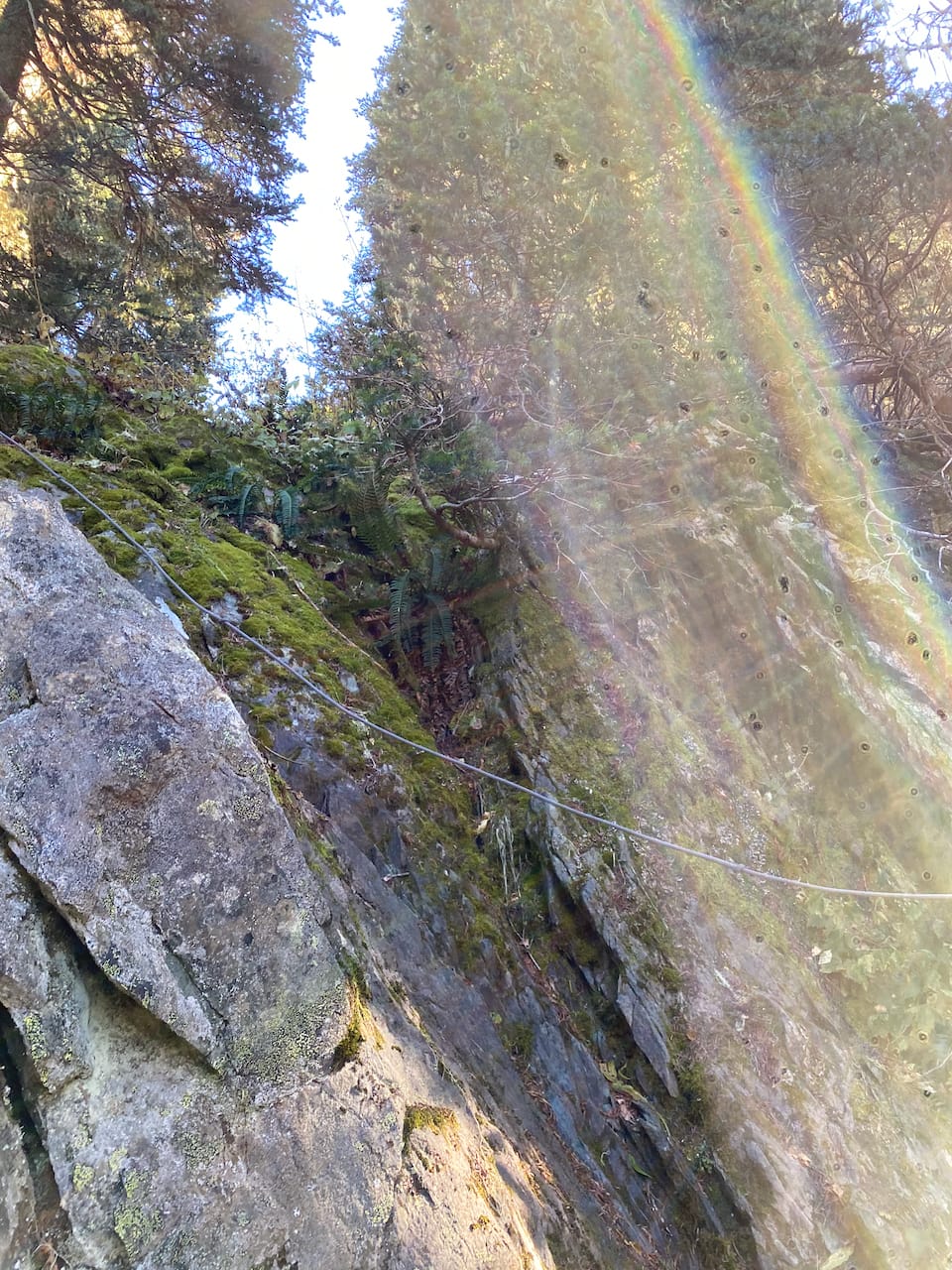
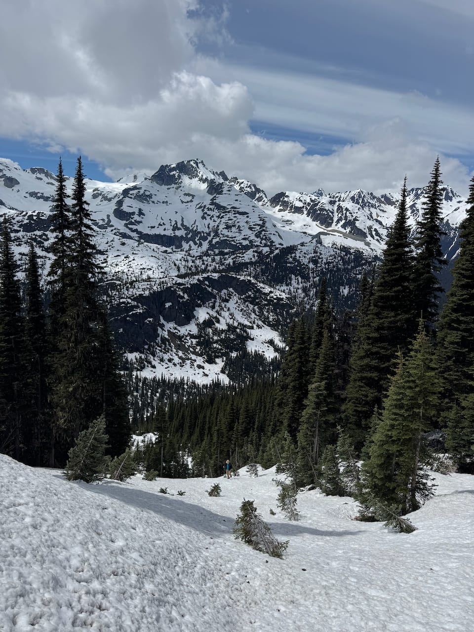
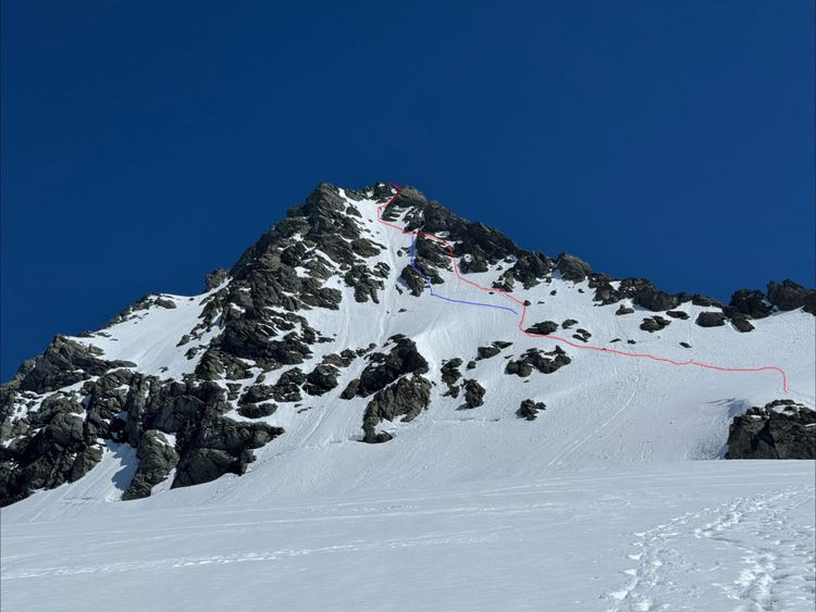
There is a trail to the ridge, marked with flagging and orange spray paint. However, if there is snow on the ground - as there was on our trip - it will be difficult to follow. Isidor and I just made our own way up the slope, roughly following the trail. There were a few steep sections where we had to use alders for support. The actual trail has a fixed rope for this cliff band, but as usual, its age is unclear and it should not be relied on.
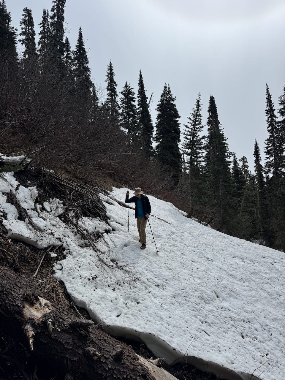
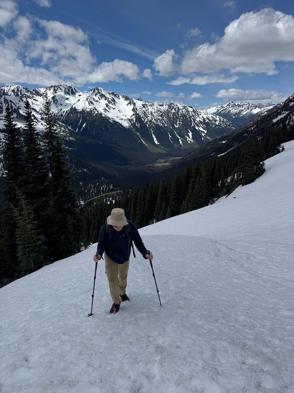
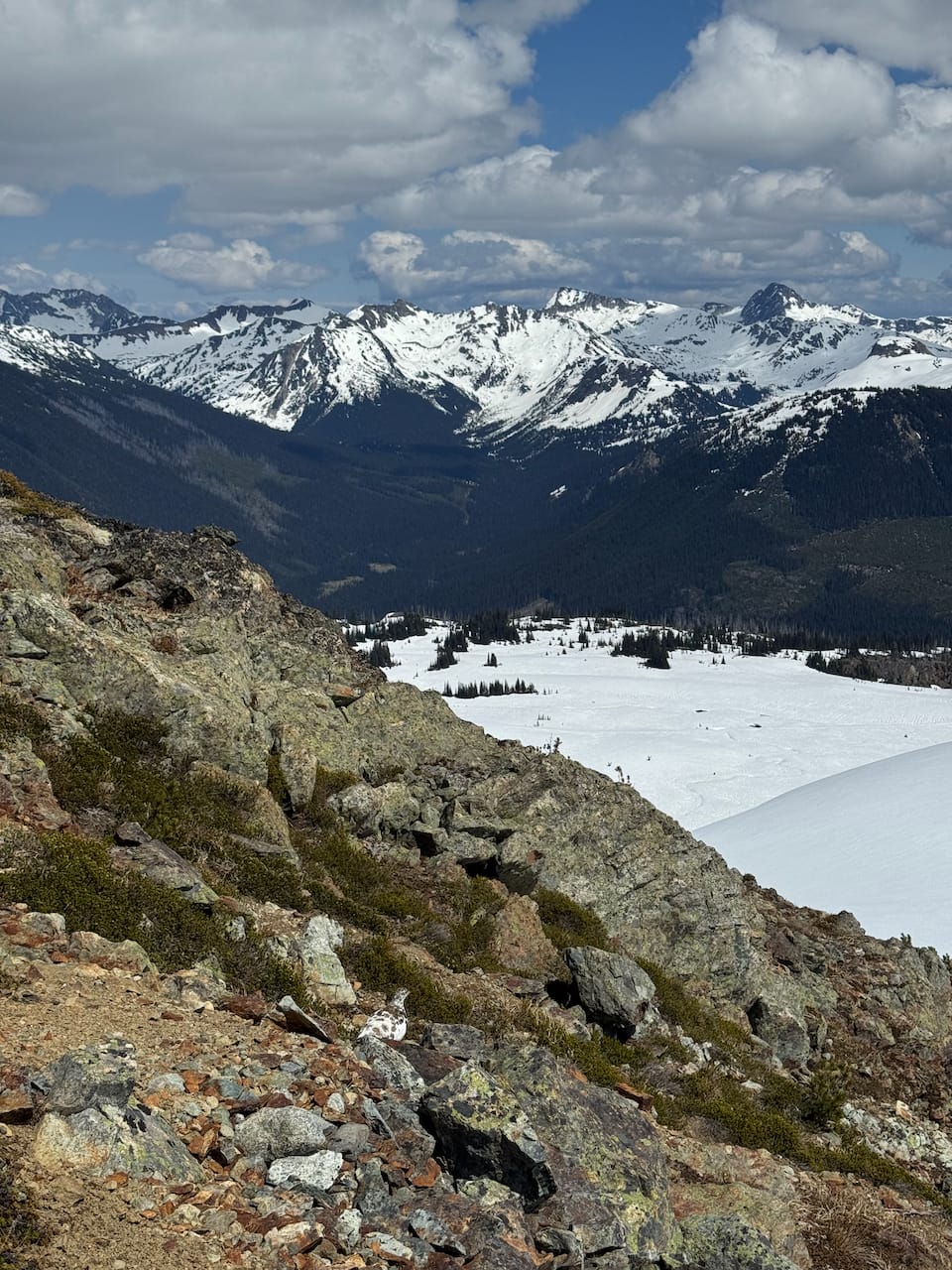
Closer to the ridge, the trees thin out, creating long open stretches up to 30-35 degrees. It was late enough in the day that we could kick steps into the snow, but I was still wishing I had an ice axe. In the summer when the snow has melted out, expect a steep climb with some spots where you’re using plants for support.
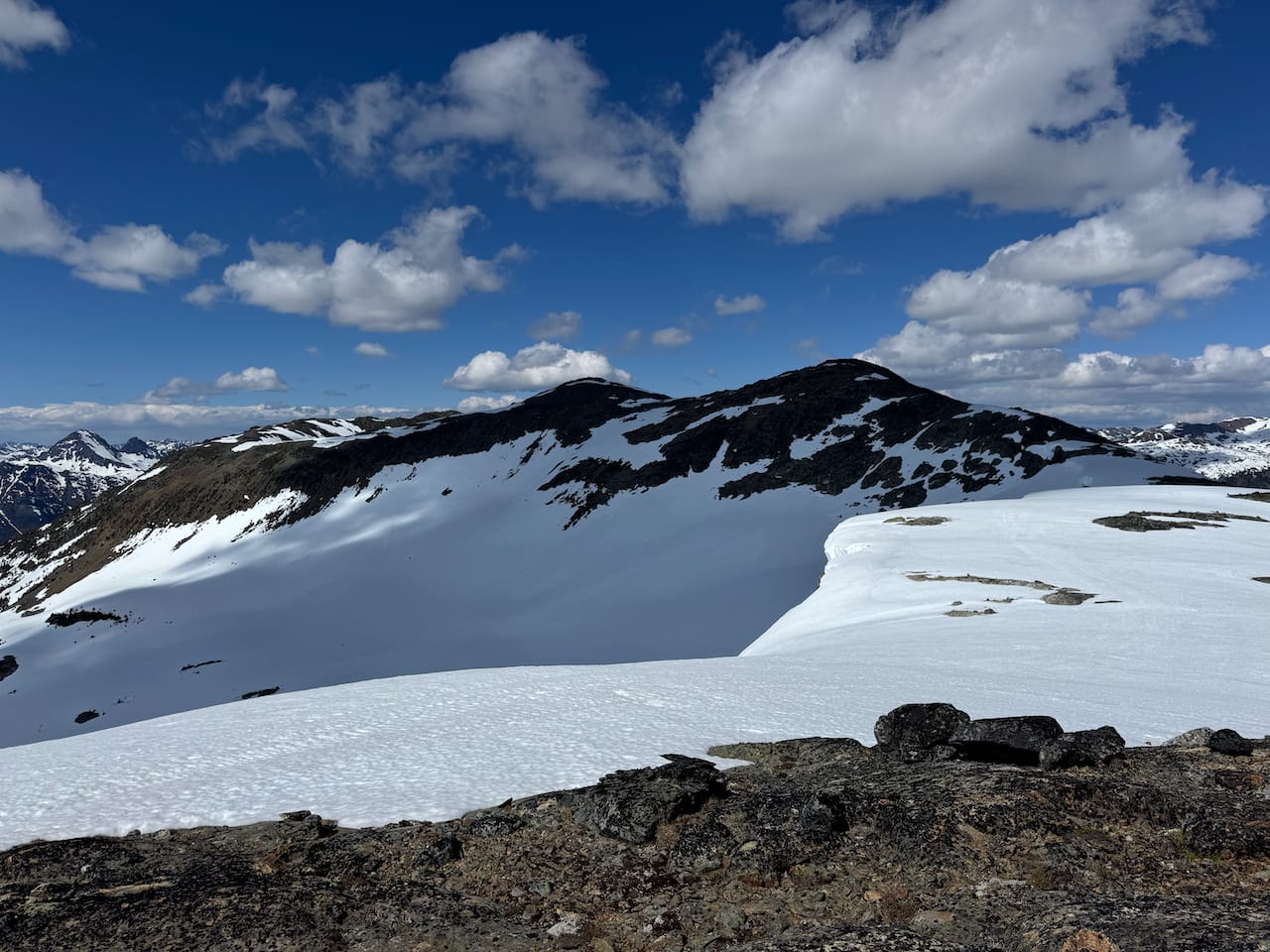
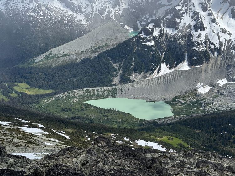
We reached the ridge, then hiked up a natural ramp to bypass the first bump. This led us to a frozen lake, which we just walked across. We then hiked up a snow slope to regain the ridge.
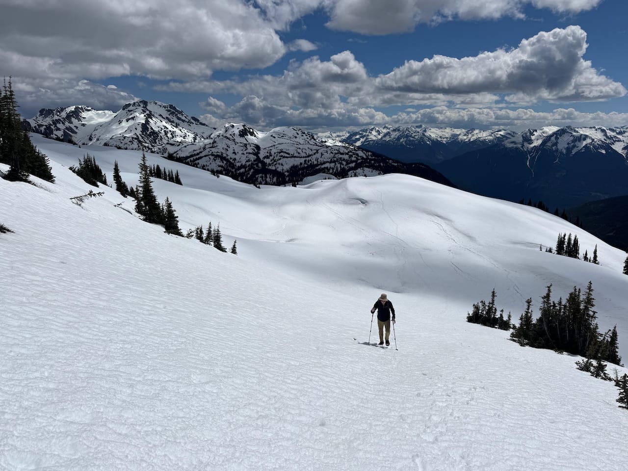
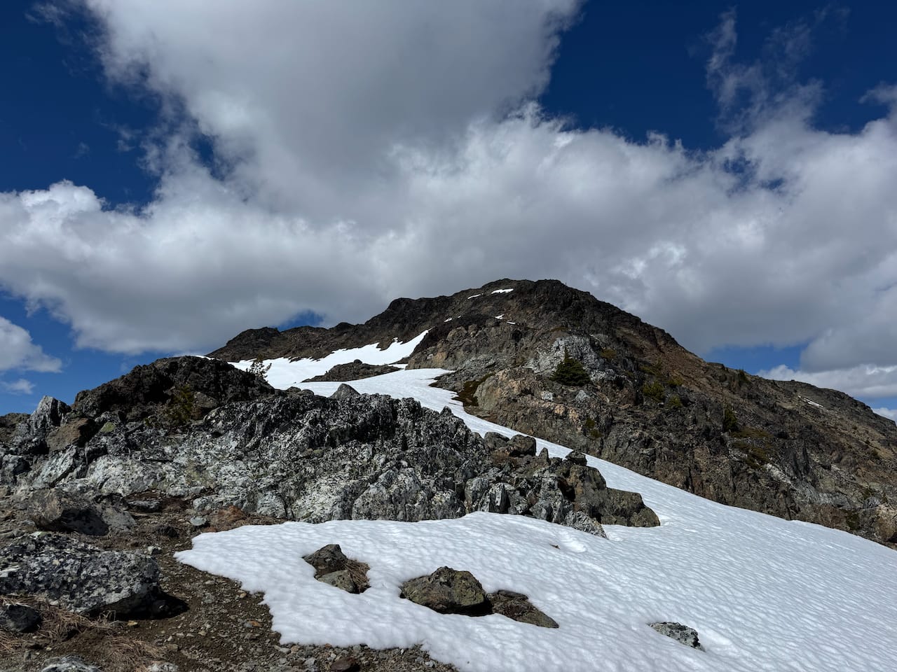
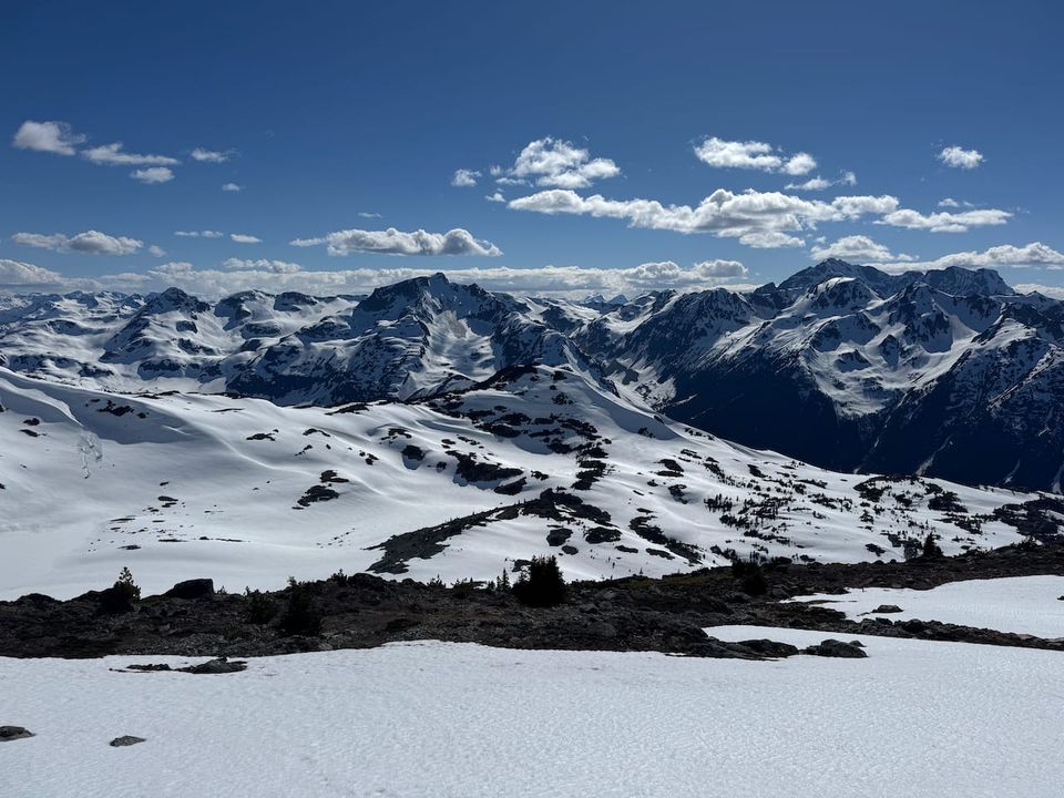
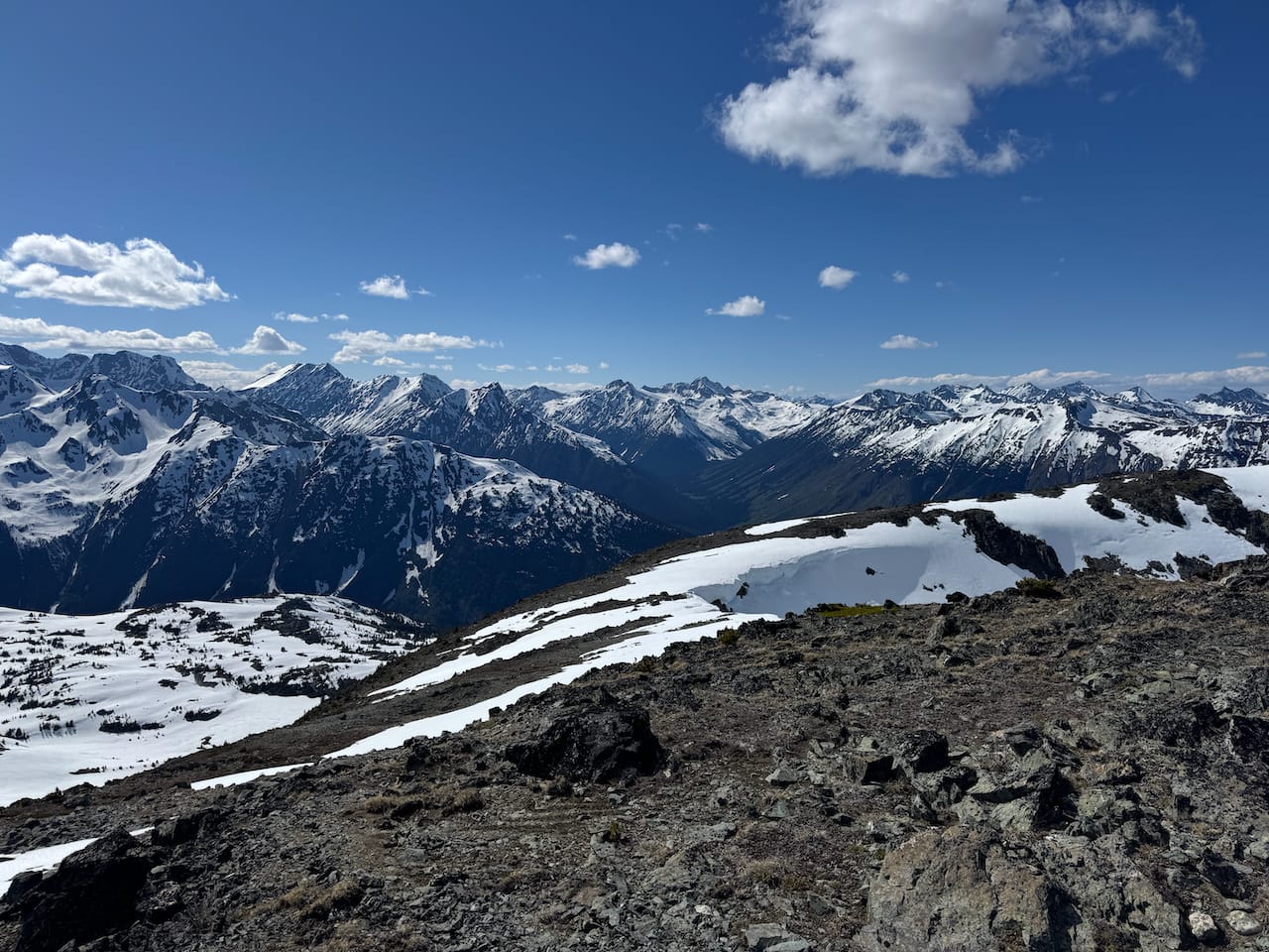
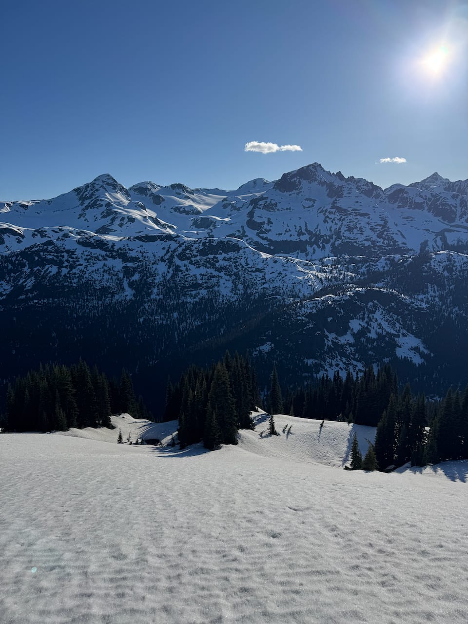
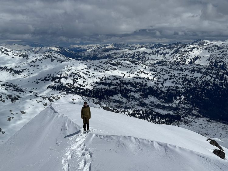
From here, another couple hundred vertical metres of hiking led us to “Boone’s Peak”, with panoramic views. I took a few detours along the way to do some scrambling. The summit of “Boone’s Peak” is bolted for some reason, even though the nearest cliff is a long way away.
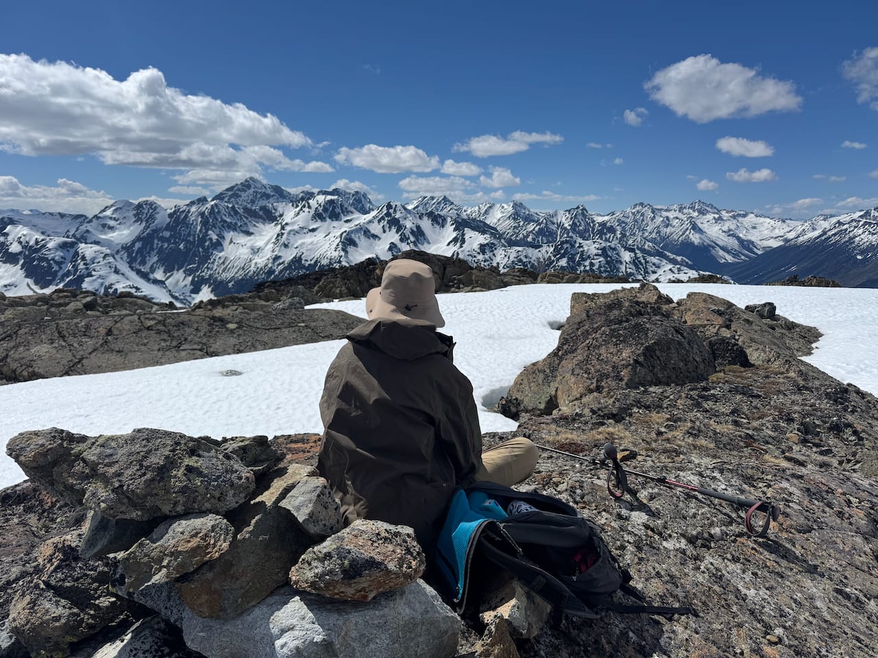
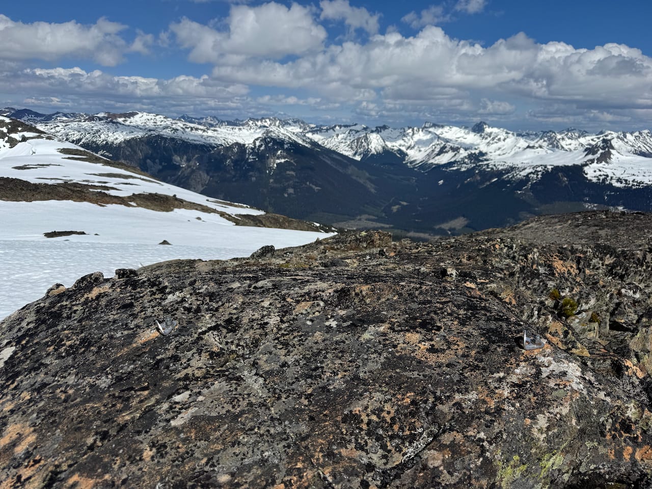
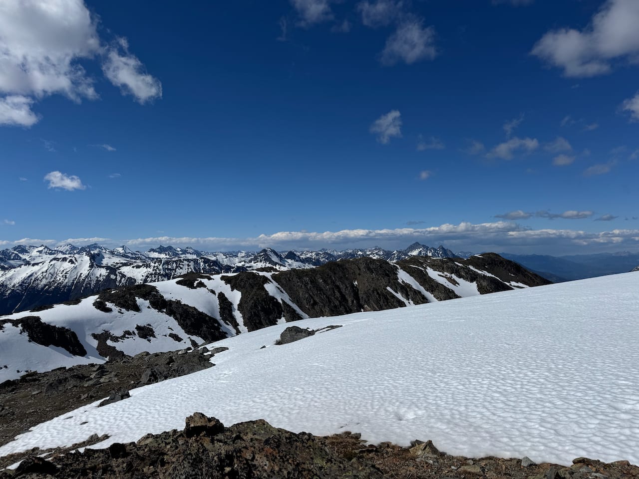
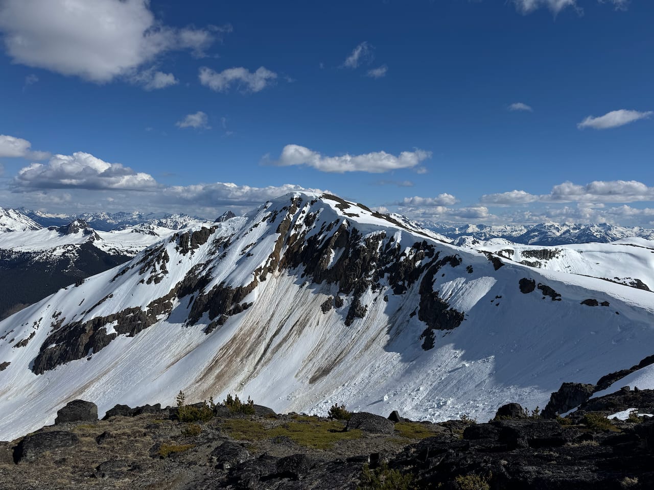
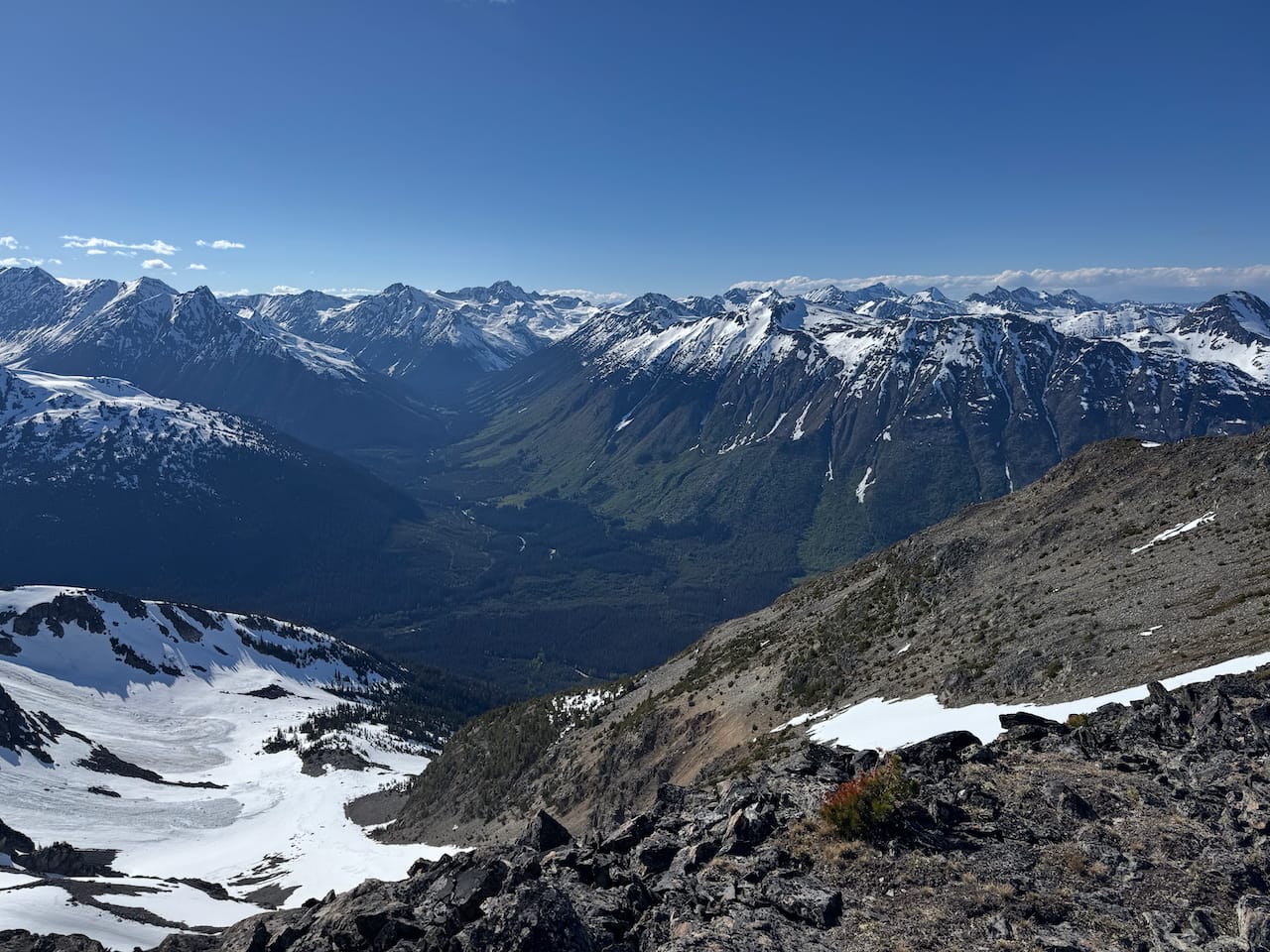
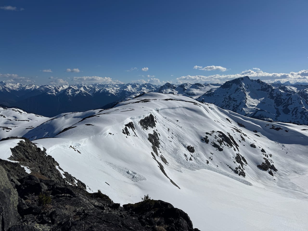
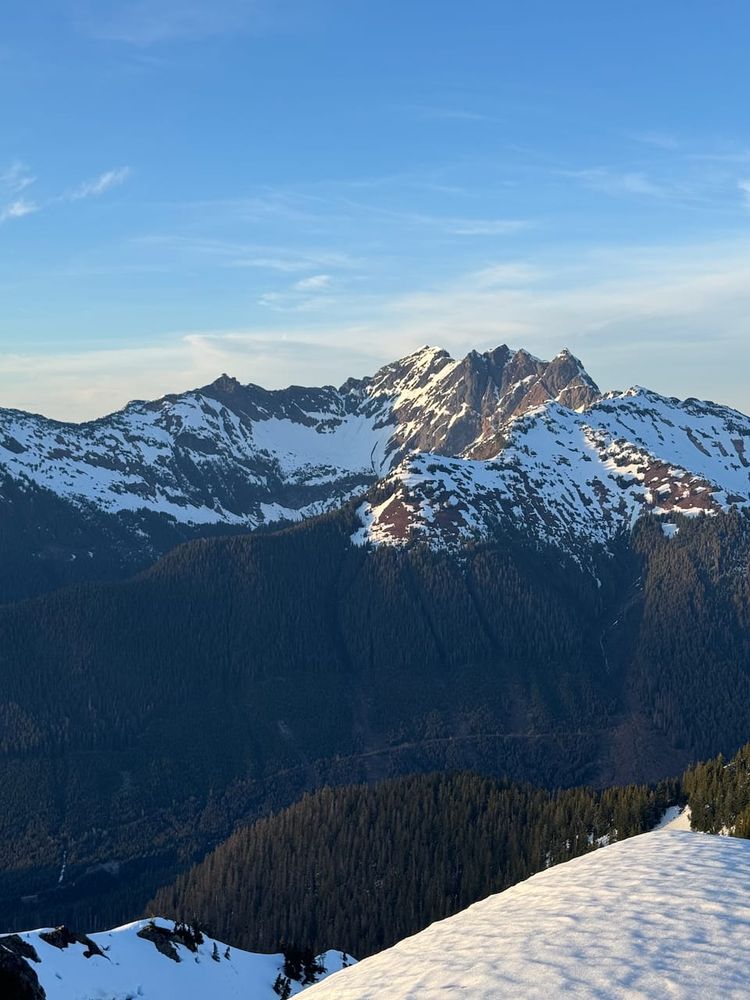
We continued onward along the increasingly wide ridge to Mortar Peak, admiring the views of the Train Glacier group and the mountains along Tenquille Lake. There was a cornice to the west that had to be avoided.
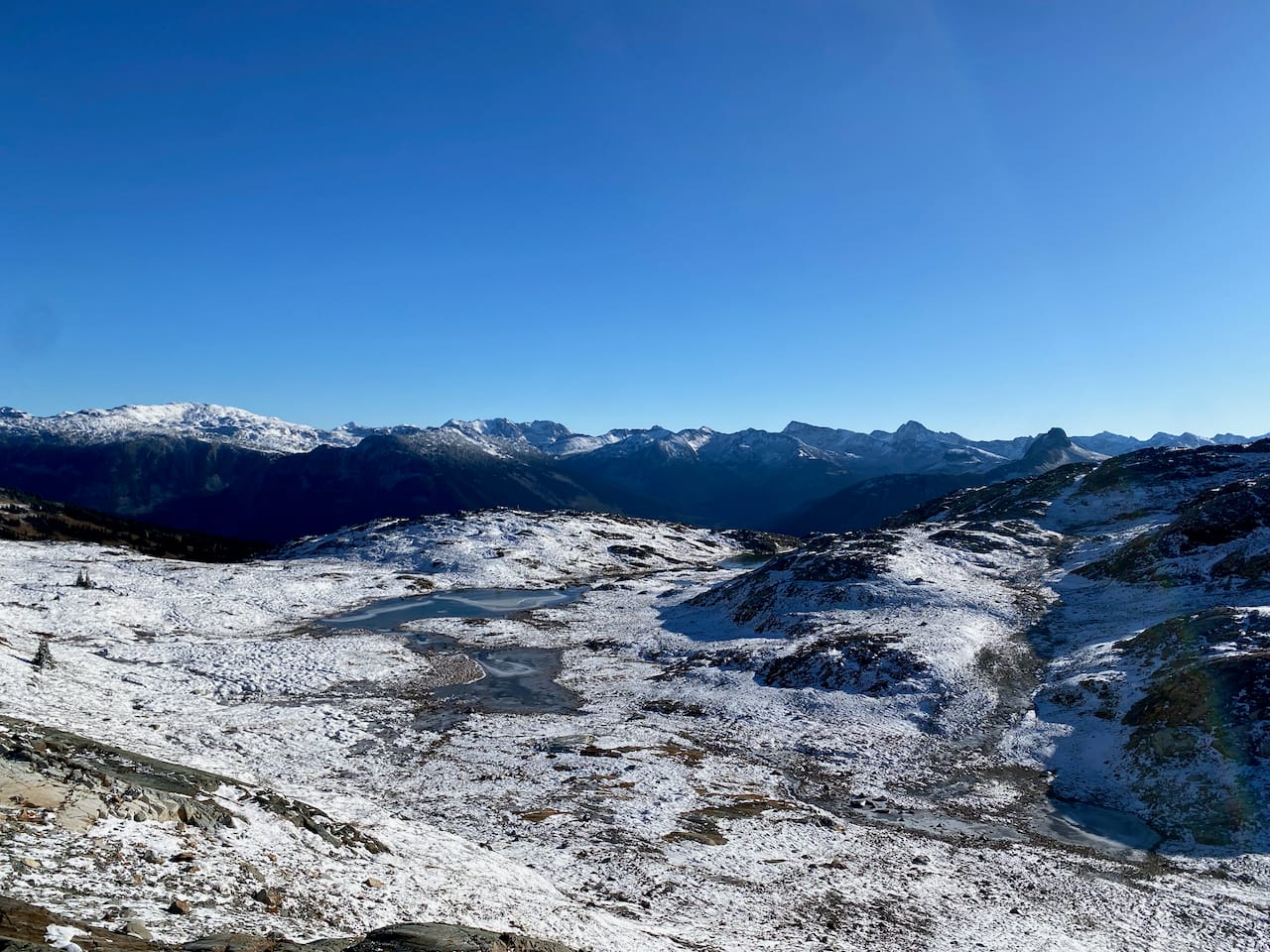
Mortar Peak was quite scenic.
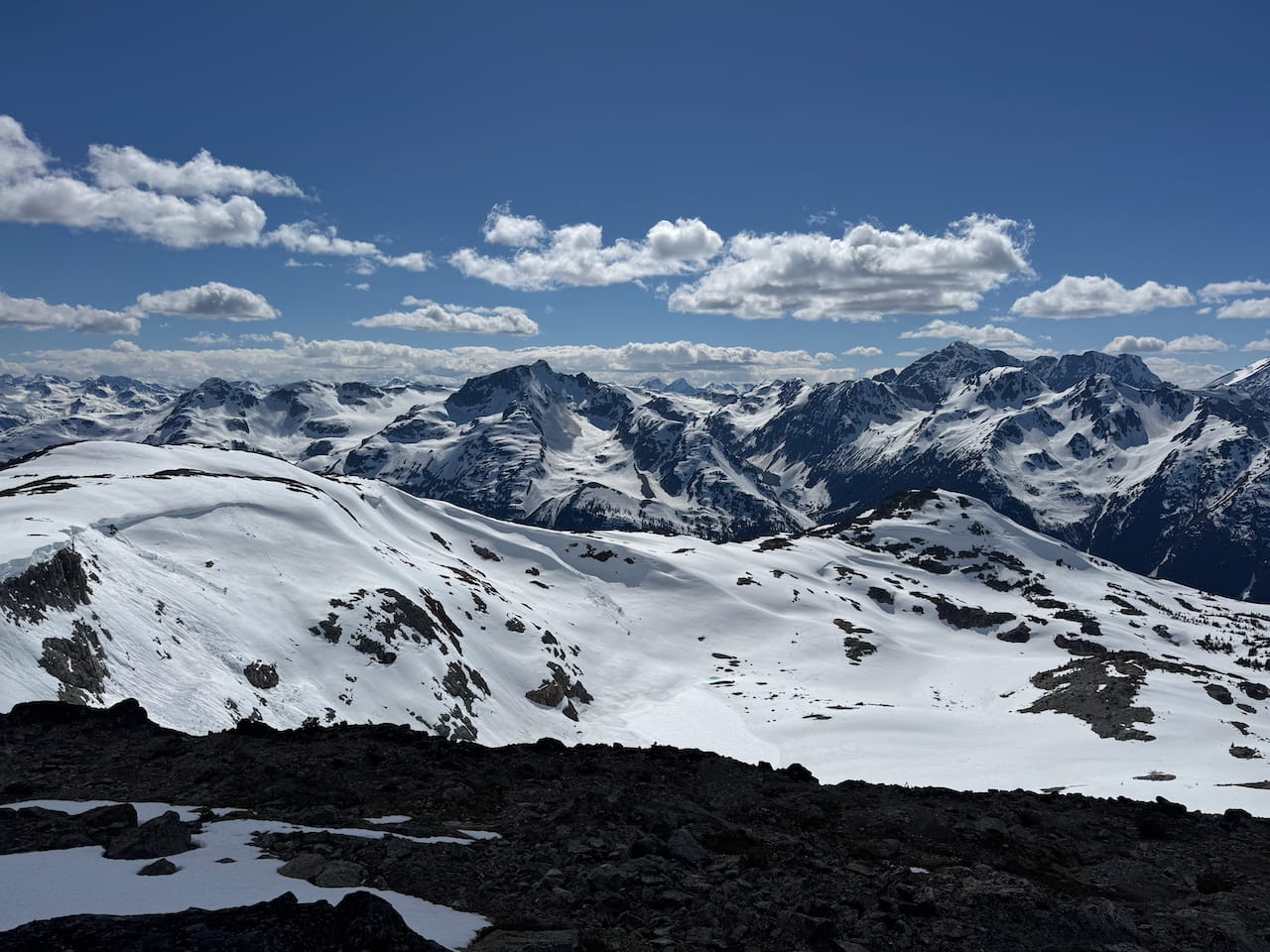
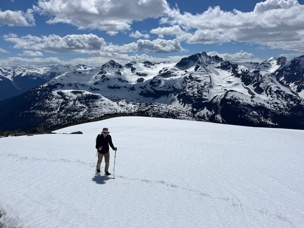
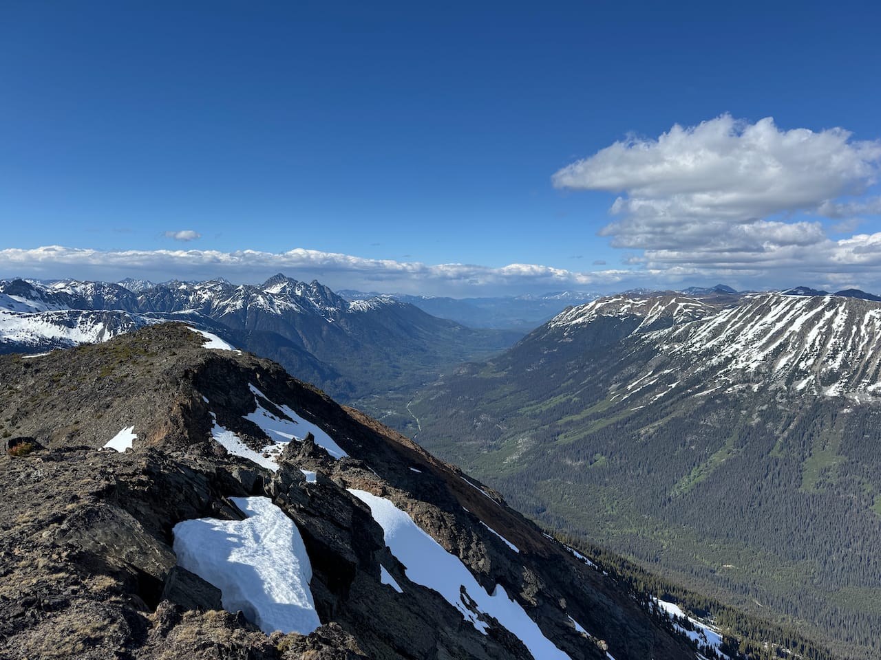
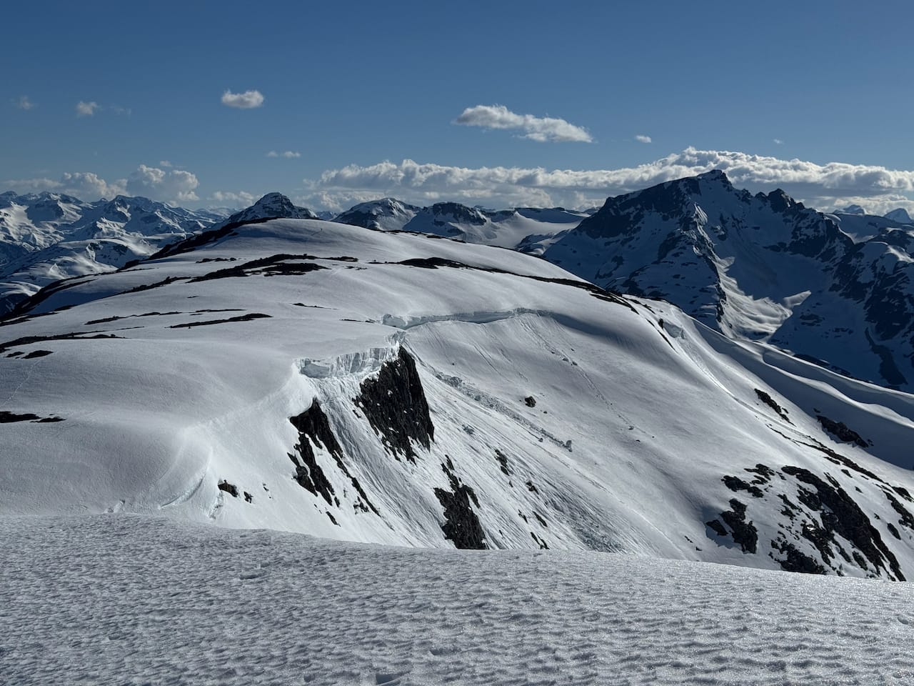
Isidor was happy to turn around here, but I wanted to tag the highest point. I continued another 1.5km along the ridge, walking through snow patches that presented little difficulty. There were good views of the cliff on the north face of Mortar Peak. The summit had slightly better views up the valley towards Gold Bridge but otherwise offered a pretty similar panorama to Mortar Peak.
I returned the way I came, traversing the summit of Mortar Peak, and eventually caught up to Isidor near the lake.
The descent was going to be interesting. The gully we’d climbed up was quite steep, so we chose a different route that followed the trail more closely. This was also steep, although less so, so we switchbacked down the slope until we reached the treeline. From there, enough of the trail had melted out that we could follow it.
We reached the car and began the long drive south. In Pemberton Meadows, we saw a young grizzly frolicking beside the road!
Member discussion