Baegundae Peak
Date: August 13, 2026
Distance: 8.9 km (from Bukhansan Ui metro station)
Elevation gain: 748 m
Baegundae Peak is the highest mountain in the vicinity of Seoul, South Korea. It is located in Bukhansan National Park, the most-visited national park in the world. The Bukhansan massif has three peaks: Baegundae, Insubong, and Mangnyeongdae. Only Baegundae, the tallest, is accessible to hikers. The other two are steep granite formations which are quite scenic.
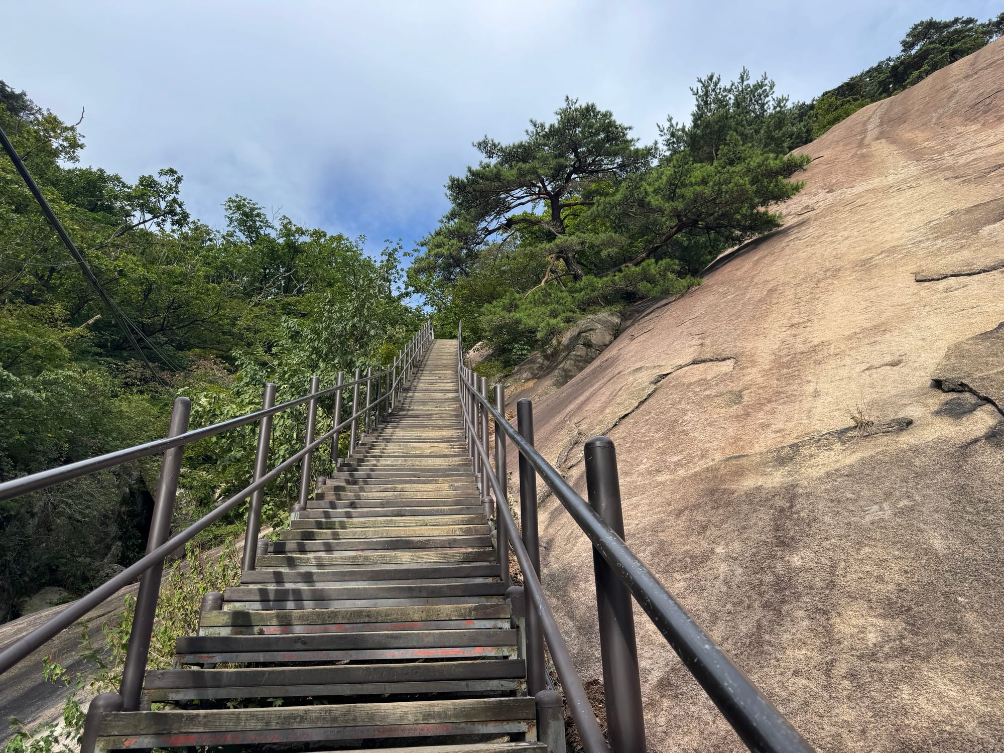
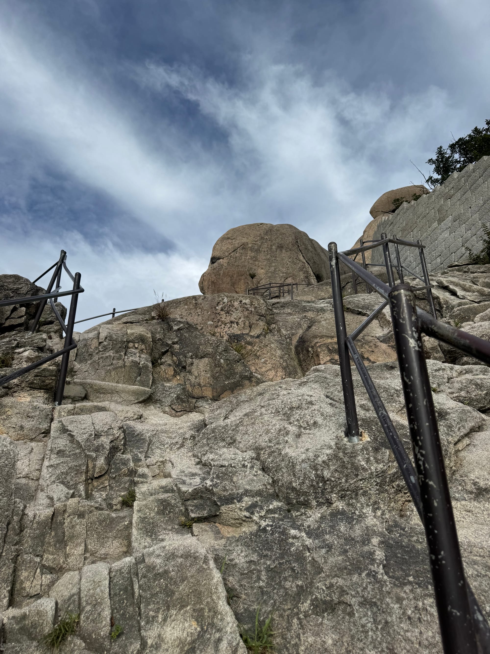
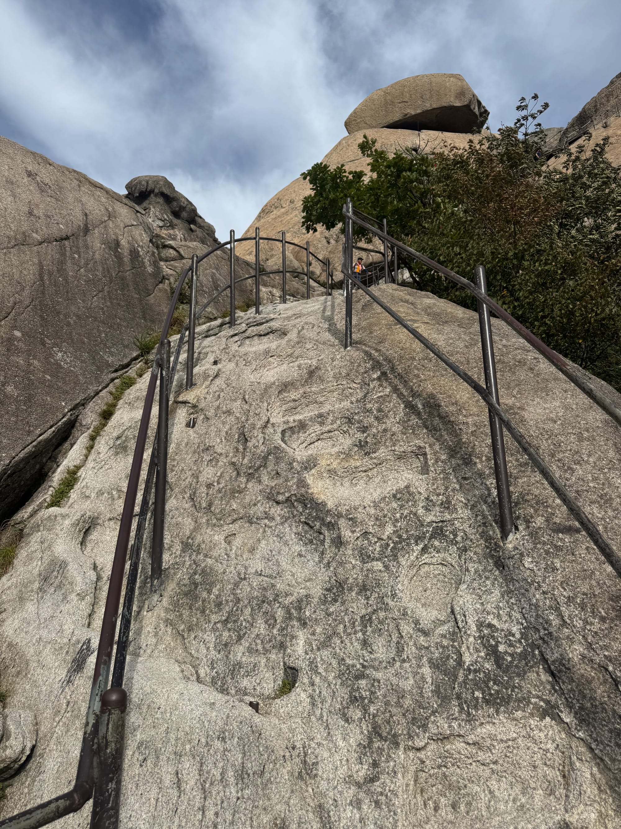
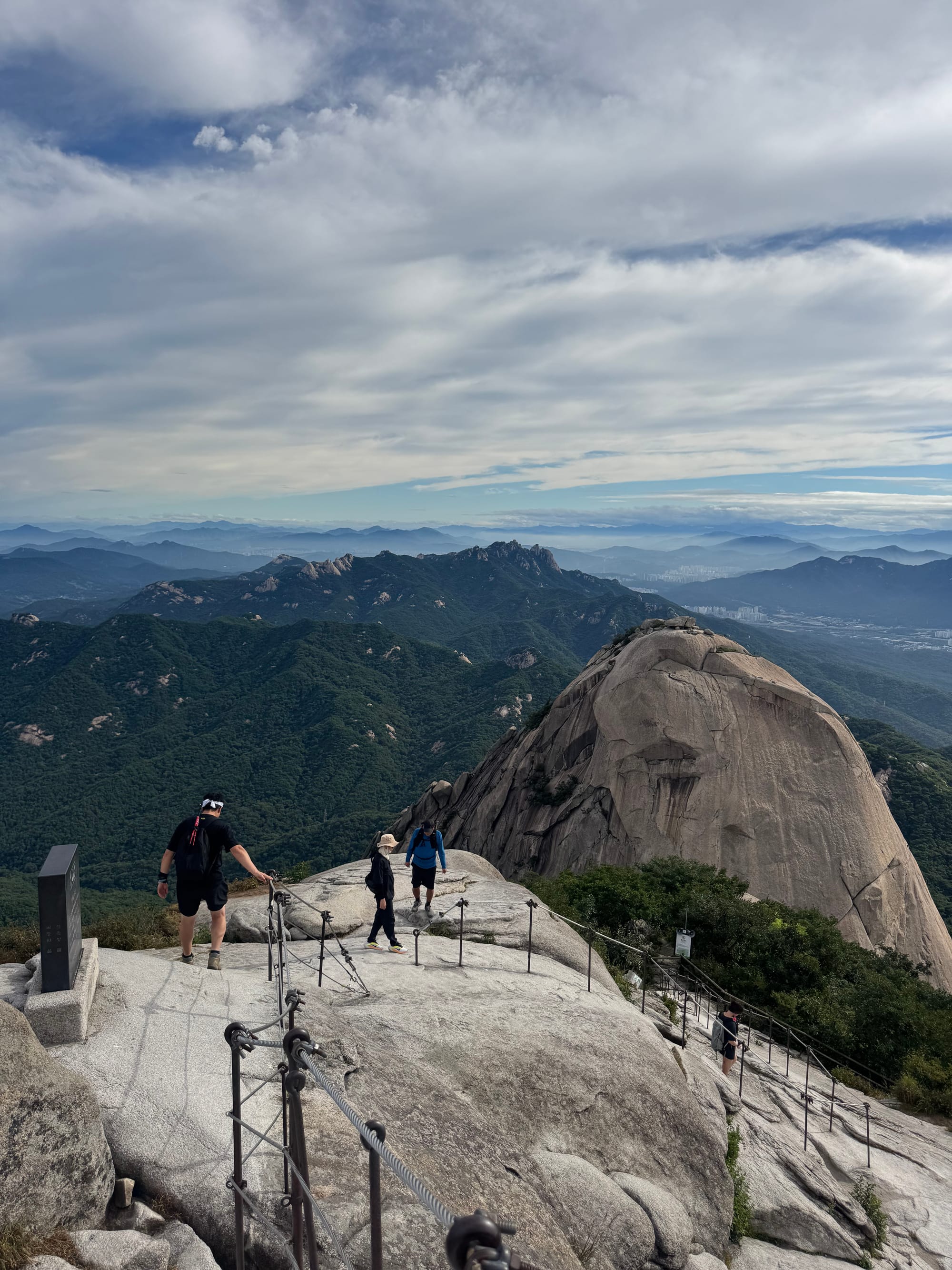
The last 200 metres to the summit are quite steep and involve what would be classified as class 3 scrambling in Canada, although there are metal posts and cables to assist you. Still, it would be genuinely sketchy in wet conditions.
There are several routes up this mountain. I took the most common one, from the east. This route starts at the Baegundae visitor centre; from there it’s a 2.3km hike to the summit. The closest metro station is Bukhansan Ui which adds an extra 2km each way for an 8km round trip. There were lots of taxis along the road between Bukhansan Ui and the visitor centre, and you could probably easily get a ride.
I had a 15-hour layover in Seoul and I wanted to make the most of it. The plan was to climb Baegundae Peak in the morning, then meet a Korean friend in the afternoon. I landed at Incheon a bit earlier than expected, had breakfast at Starbucks (this felt kind of wrong, but it was the only restaurant open this early), then took the airport express to town. Bukhansan Ui was just under two hours from the airport.
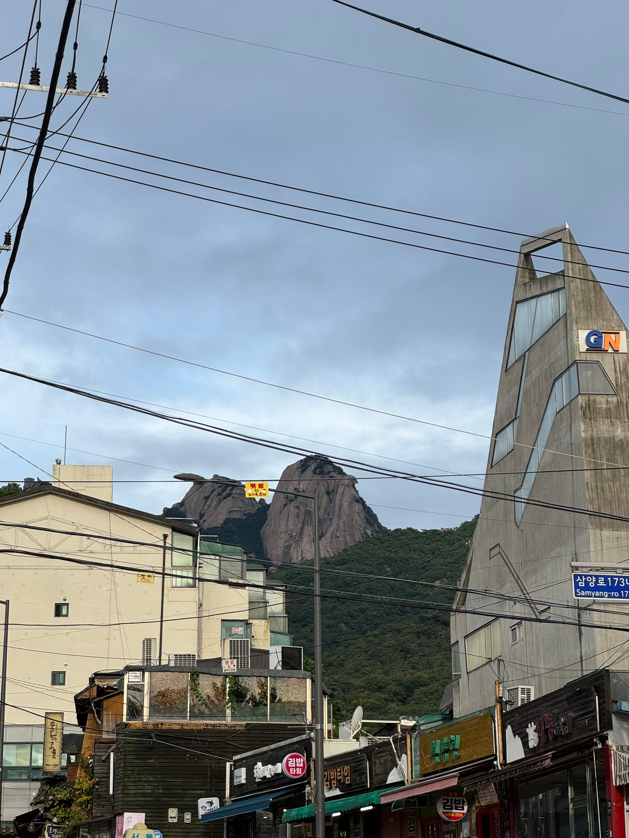
From the station, I walked along the road for 2 kilometres, a great way to keep the jet lag at bay. The mountain towered over the neighbourhood. Once you leave the urban area, a wide path parallels the road. It was incredibly hot and humid, and the cicadas were buzzing. There was plenty of signage in Korean and English.
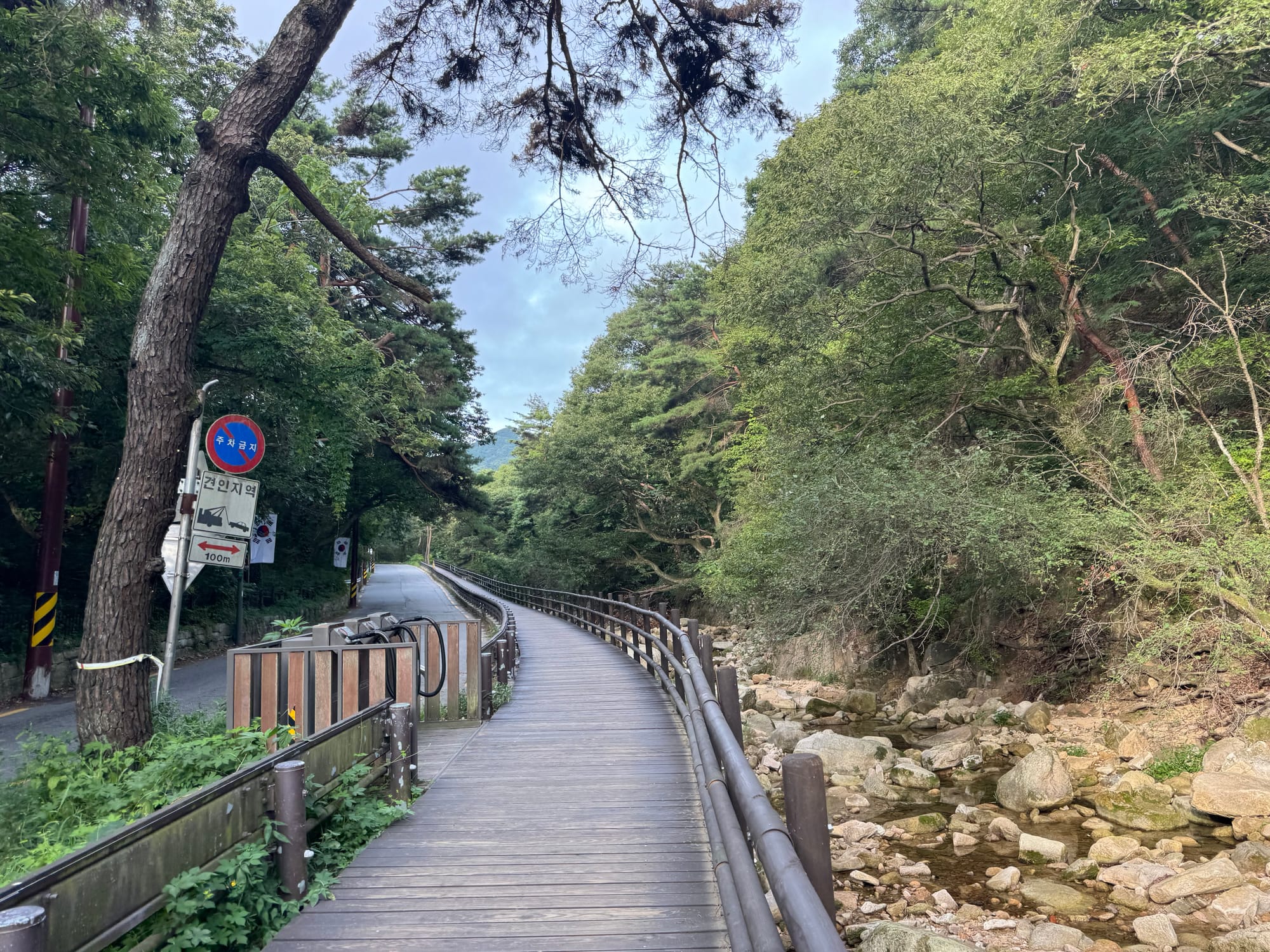
At 130m the path splits in two, with one branch following the road and one branch going along a ridge. They’re the same distance and reconnect just past the visitor centre. I took the ridge route for variety.
Past the visitor centre, the trail was a wide, eroded path with granite steps. The early hour and humidity kept most of the crowds away, but the trail was still quite busy. Most of the local hikers were dressed for an expedition, with brand new gear, hiking boots, gaiters, portable fans, etc and I felt a bit underdressed with my day pack and old trail runners.
The trail steadily climbs towards the summit, getting steeper and steeper.
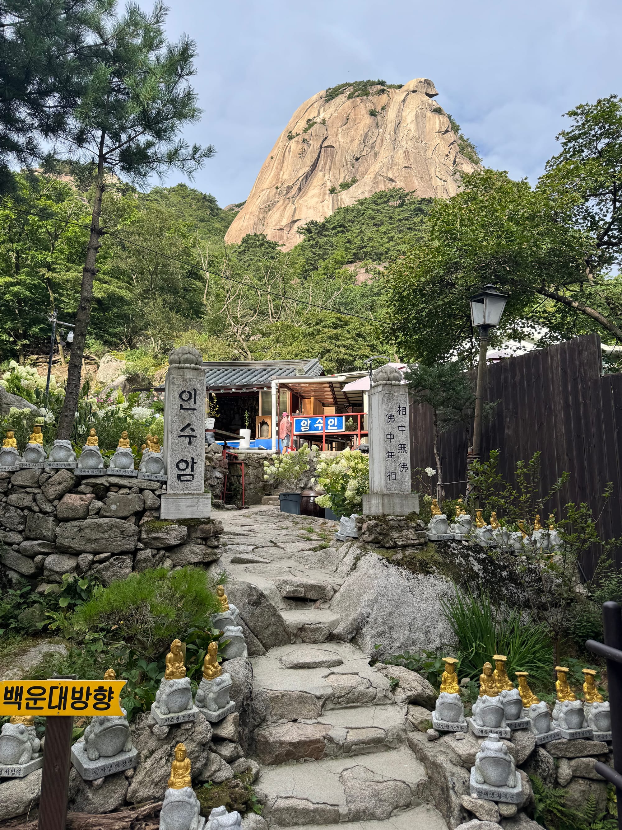
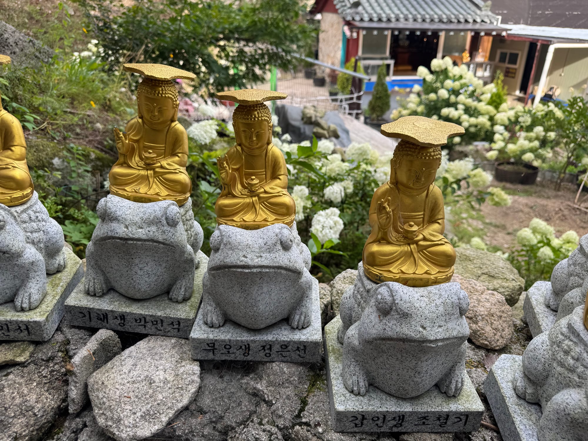
Just below the summit, I passed a stone wall, constructed in 1711 as part of a fortress built into the mountain itself.
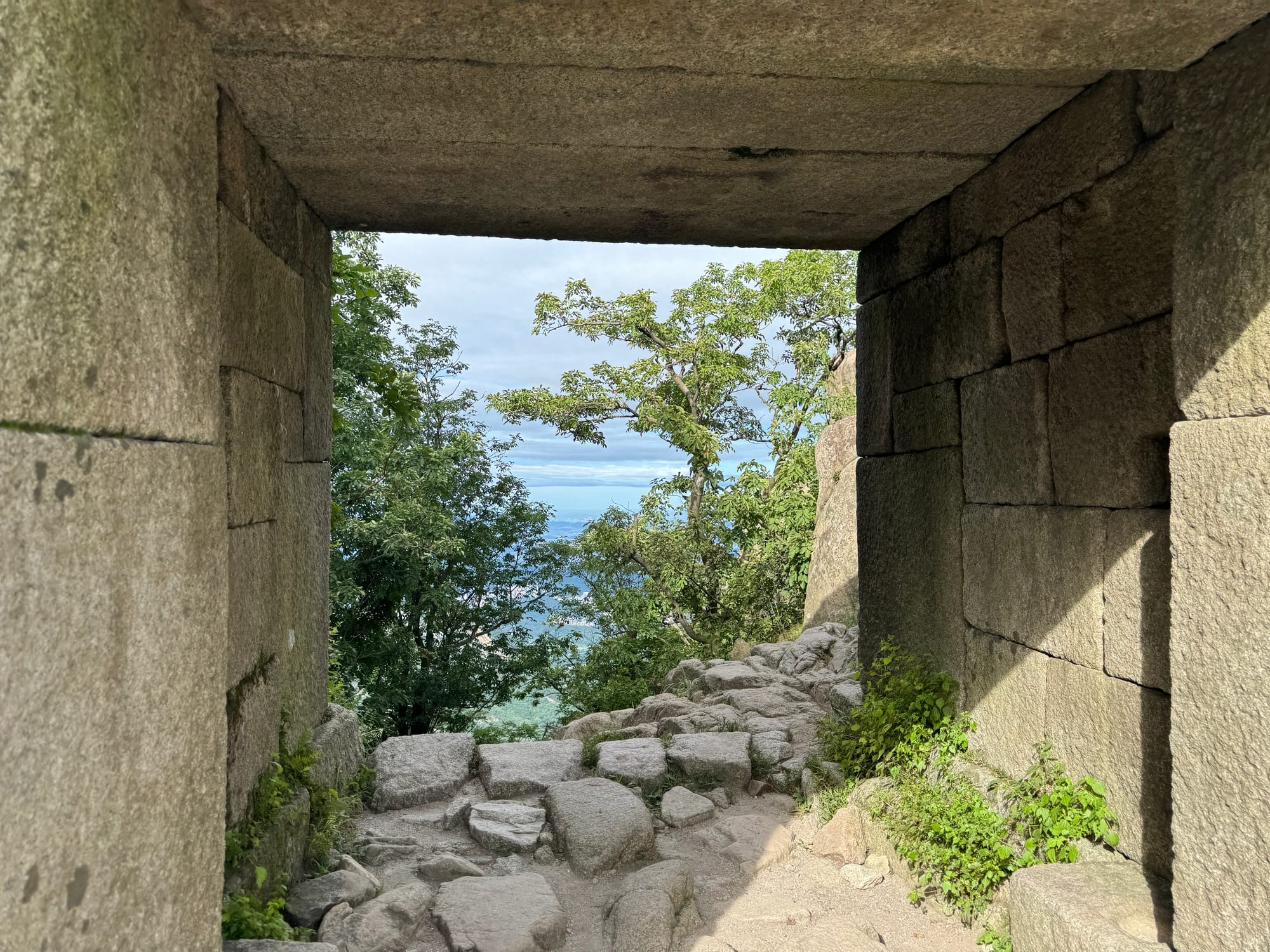
The last 200 metres were a steep scramble on bare granite, but the chains and posts made things much more manageable.
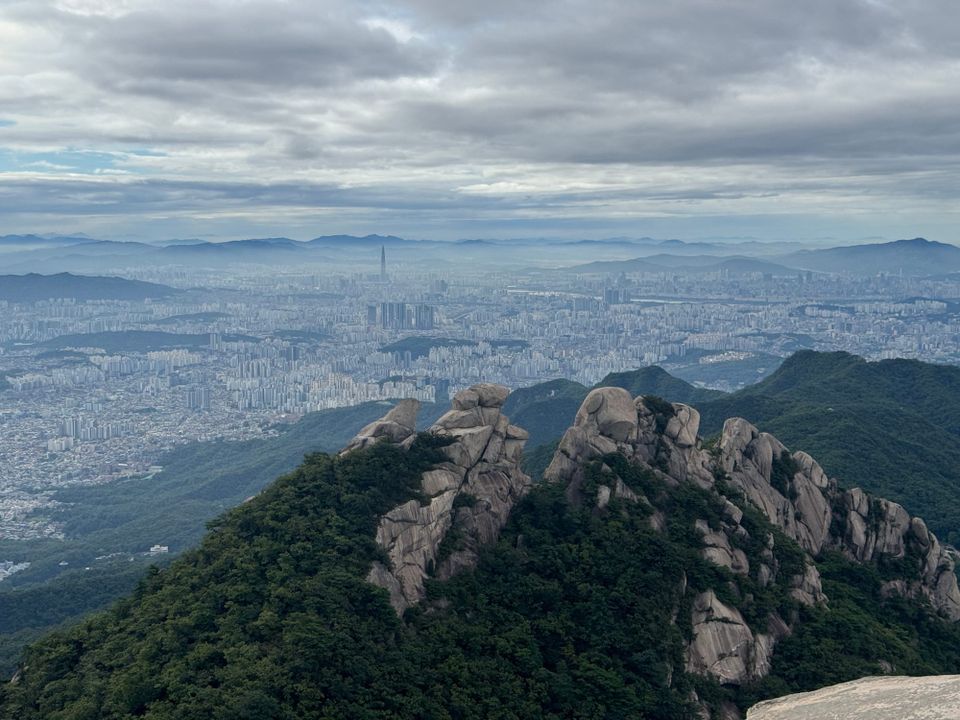
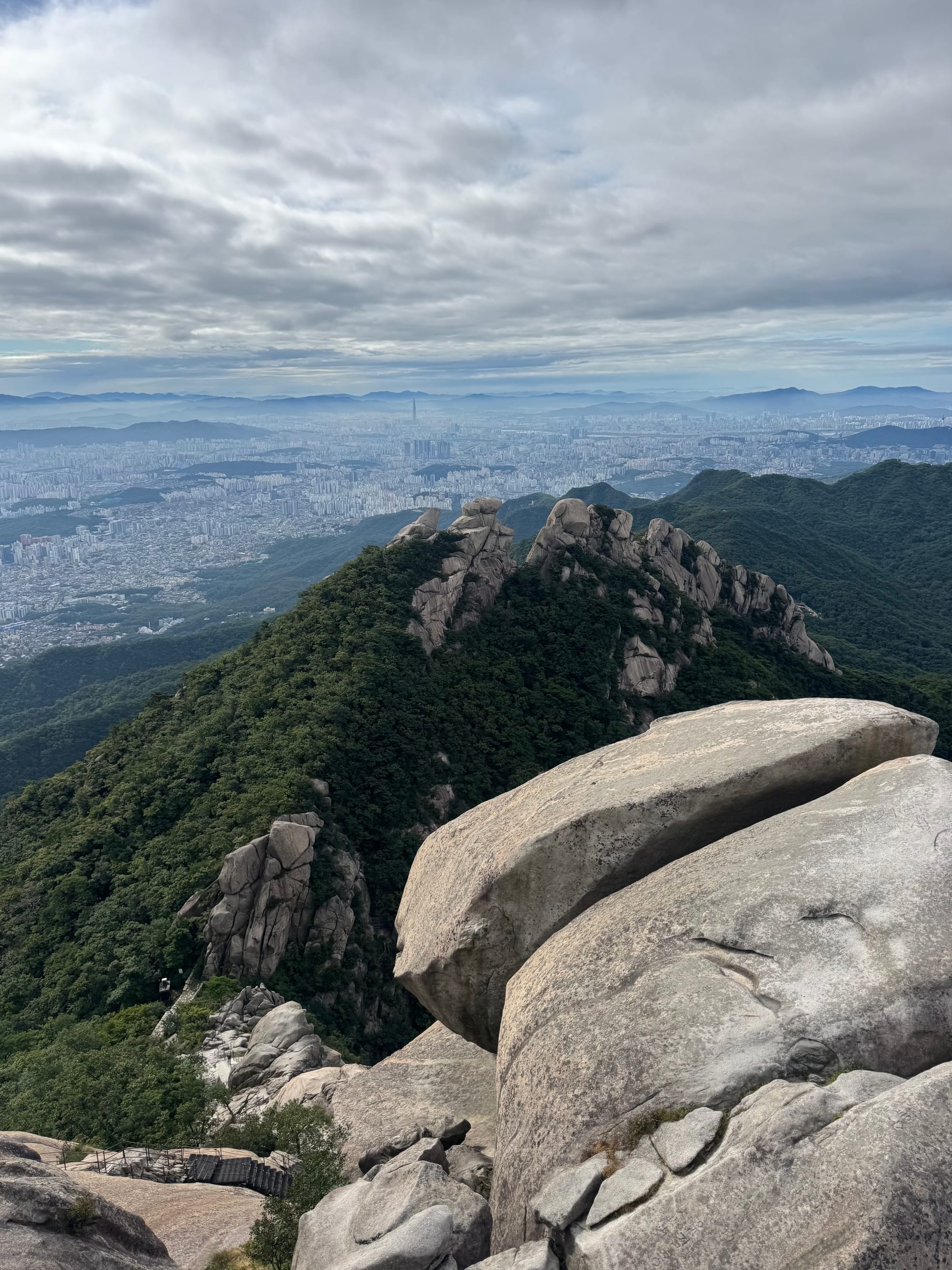
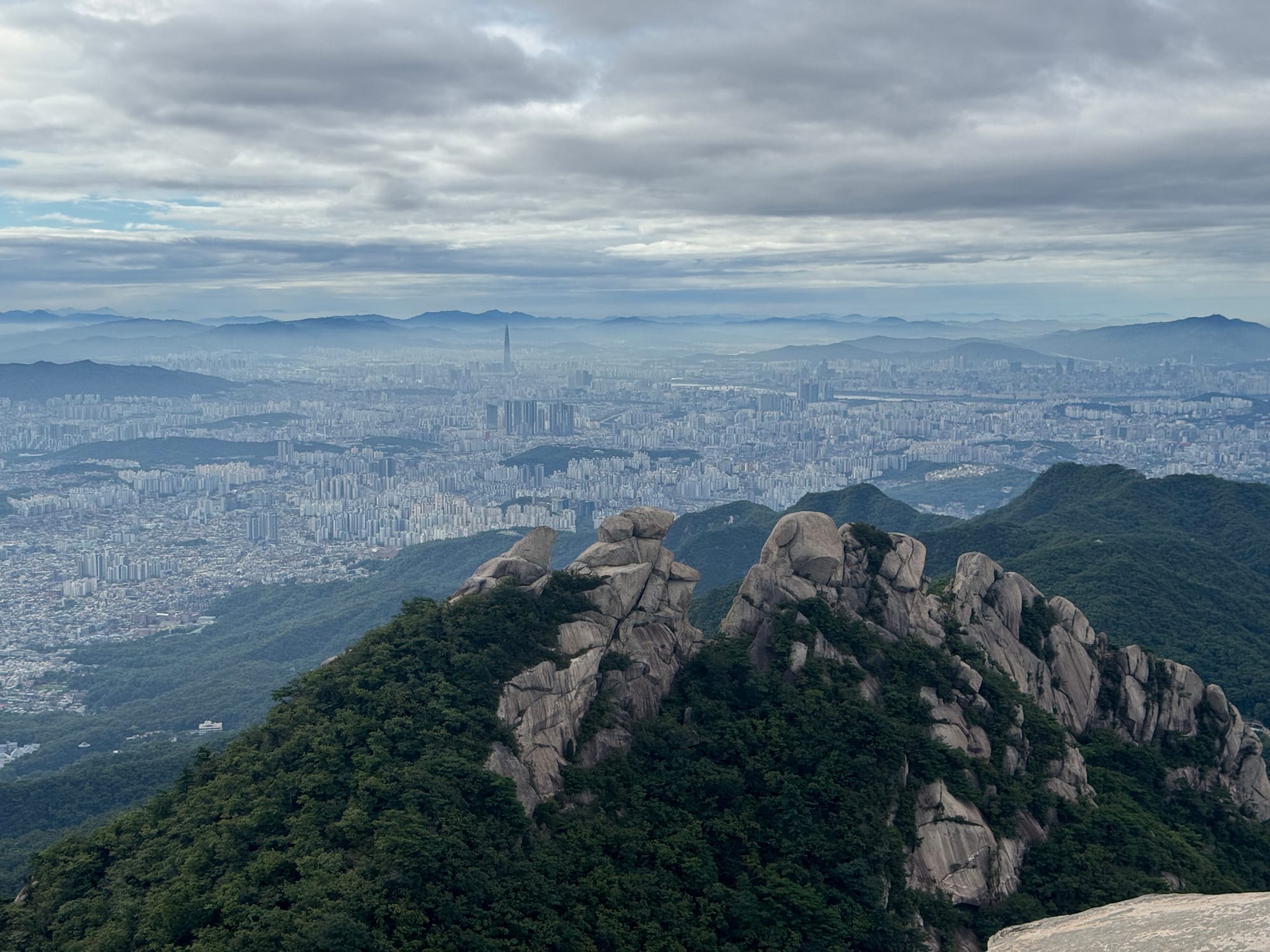
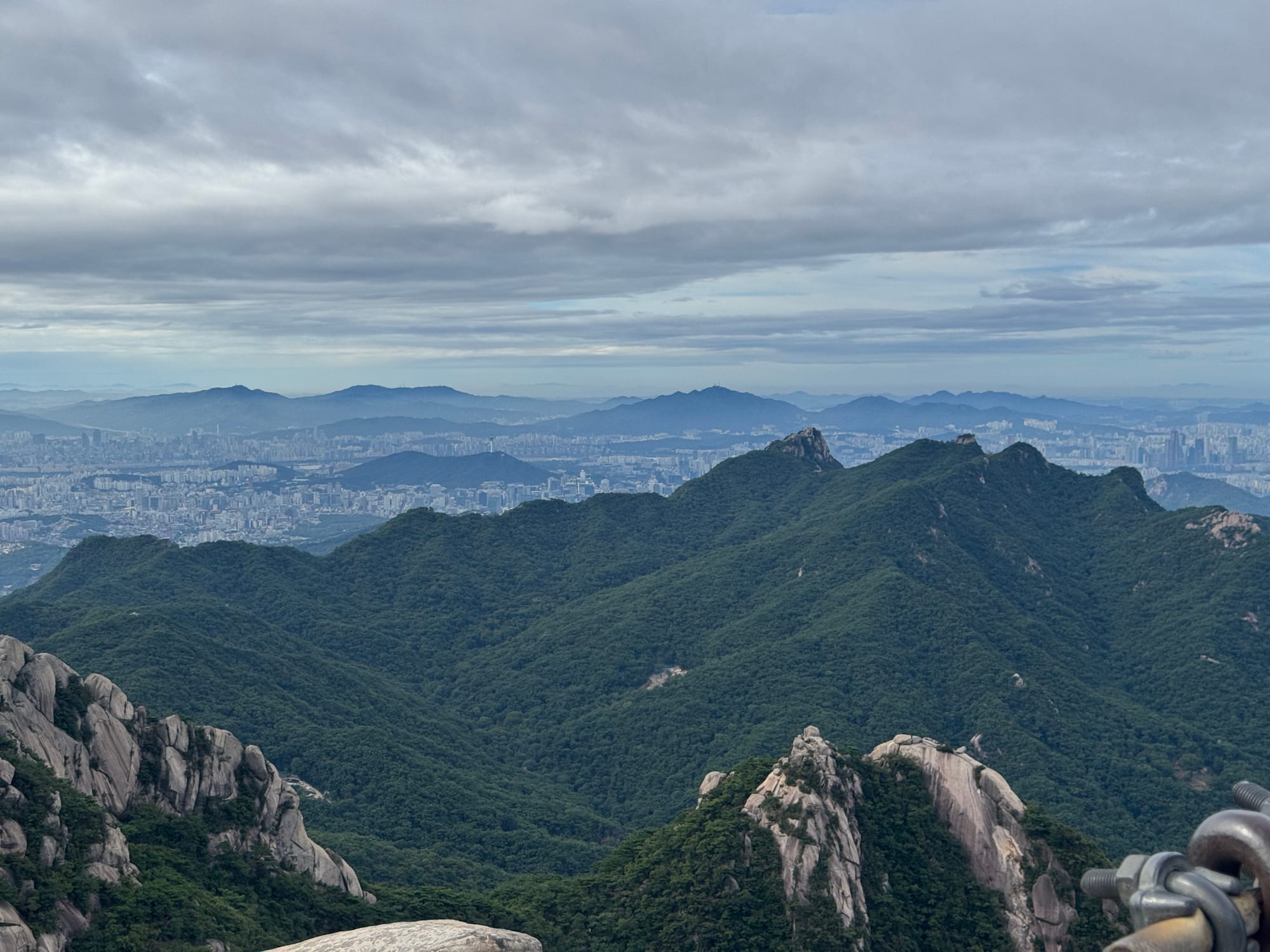
From the summit, I admired the superb views of Seoul, dodging the crowds and selfie sticks. I met a local hiker who had climbed this mountain 160 times! He pointed out several sights on the Seoul skyline.
I quickly made my way down and spent the afternoon doing more typical tourist activities.
This hike was a great introduction to Seoul and it successfully warded off the jet lag. Would recommend.
Member discussion