Gunung Slamet
Date: August 17, 2026
Round-trip distance: 9km
Elevation gain: 1475m
Gunung Slamet is a massive volcano in Central Java, Indonesia. At 3,432 metres, it is the second highest mountain on the island of Java, after Mount Semeru. It last erupted in 2014. This was the first mountain that I climbed on my Indonesian hiking trip.
Most foreign trip reports mentioned a guide named Alfian (Alfie) who runs the Flying Camp in Bambanggan village, so Shaojie and I reached out to him and a plan was quickly arranged. Most foreign hikers need an expensive permit, but Alfie has a deal to avoid this, so he can charge visitors the same price as locals. Alfie was very helpful and knowledgeable about this mountain and hiking/traveling in Indonesia in general, and I would highly recommend him.
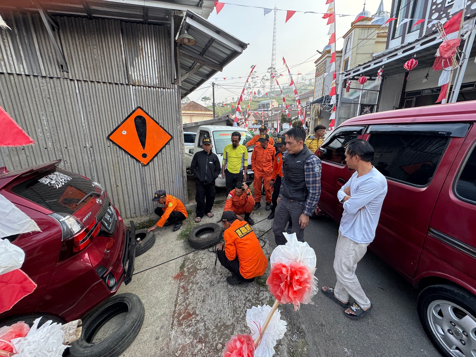
Shaojie and I met a driver at the Purwokerto train station, had lunch, then drove 2 hours to Bambanggan to find the local SAR team and a crowd of villagers gathered around the Flying Camp. It turned out that a client had parked in front of the Flying Camp without authorization, blocking another client’s car, and left to climb the mountain. The car had to be moved to let the other car go back to Yogyakarta. The SAR team was setting up a pulley system with a climbing rope.
With a few hours to kill, we wandered around town. The village sees a lot of tourists from Indonesia but very few foreigners: apparently only 1 in 200 visitors are foreign. The local kids would call out “hello” and “bules” (white person) when they saw me.
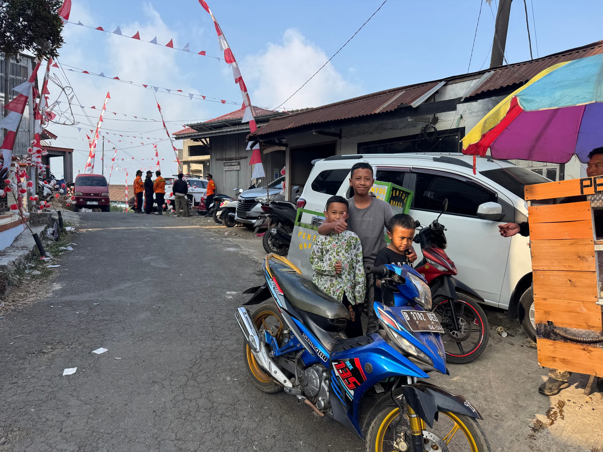
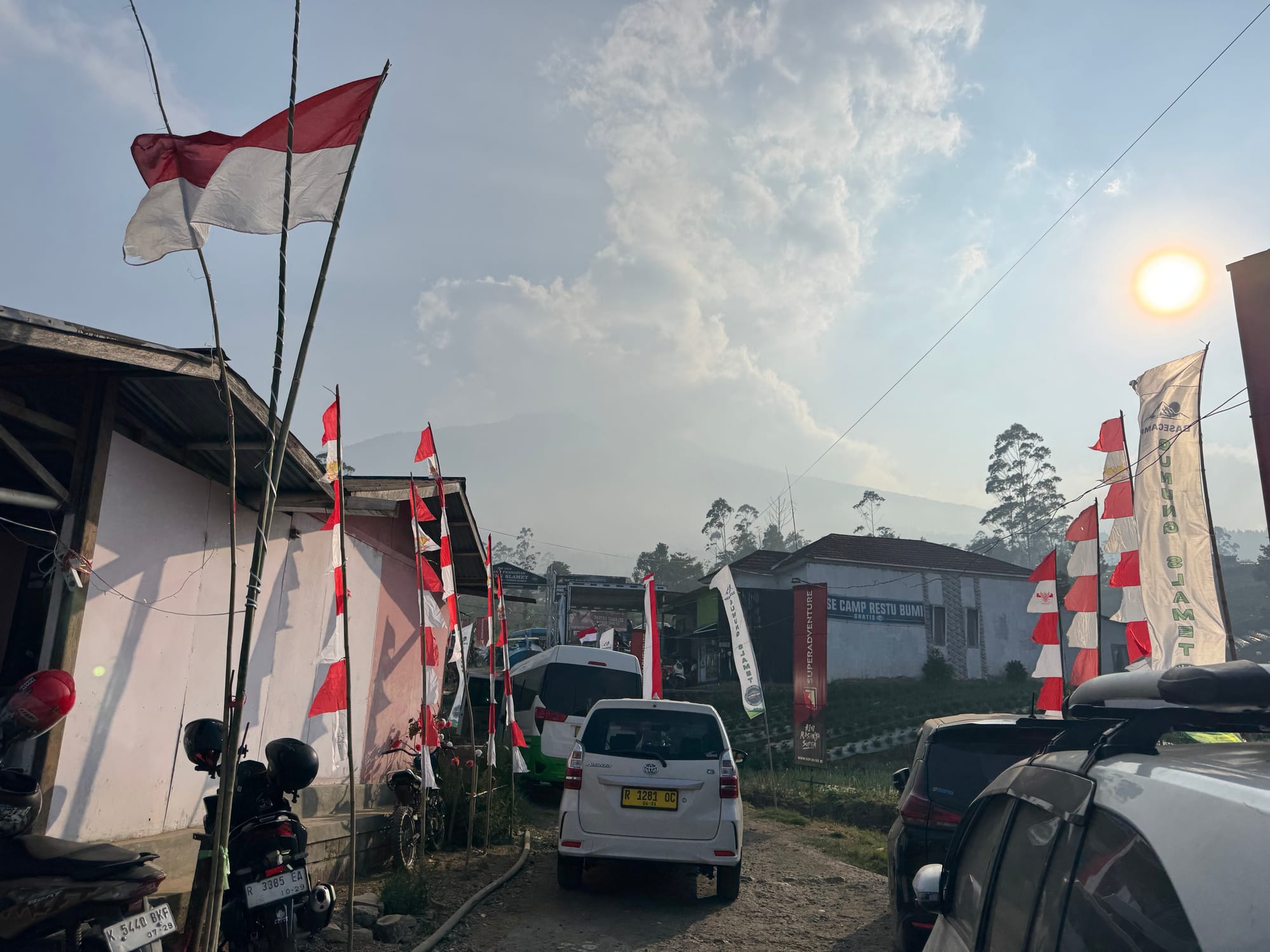
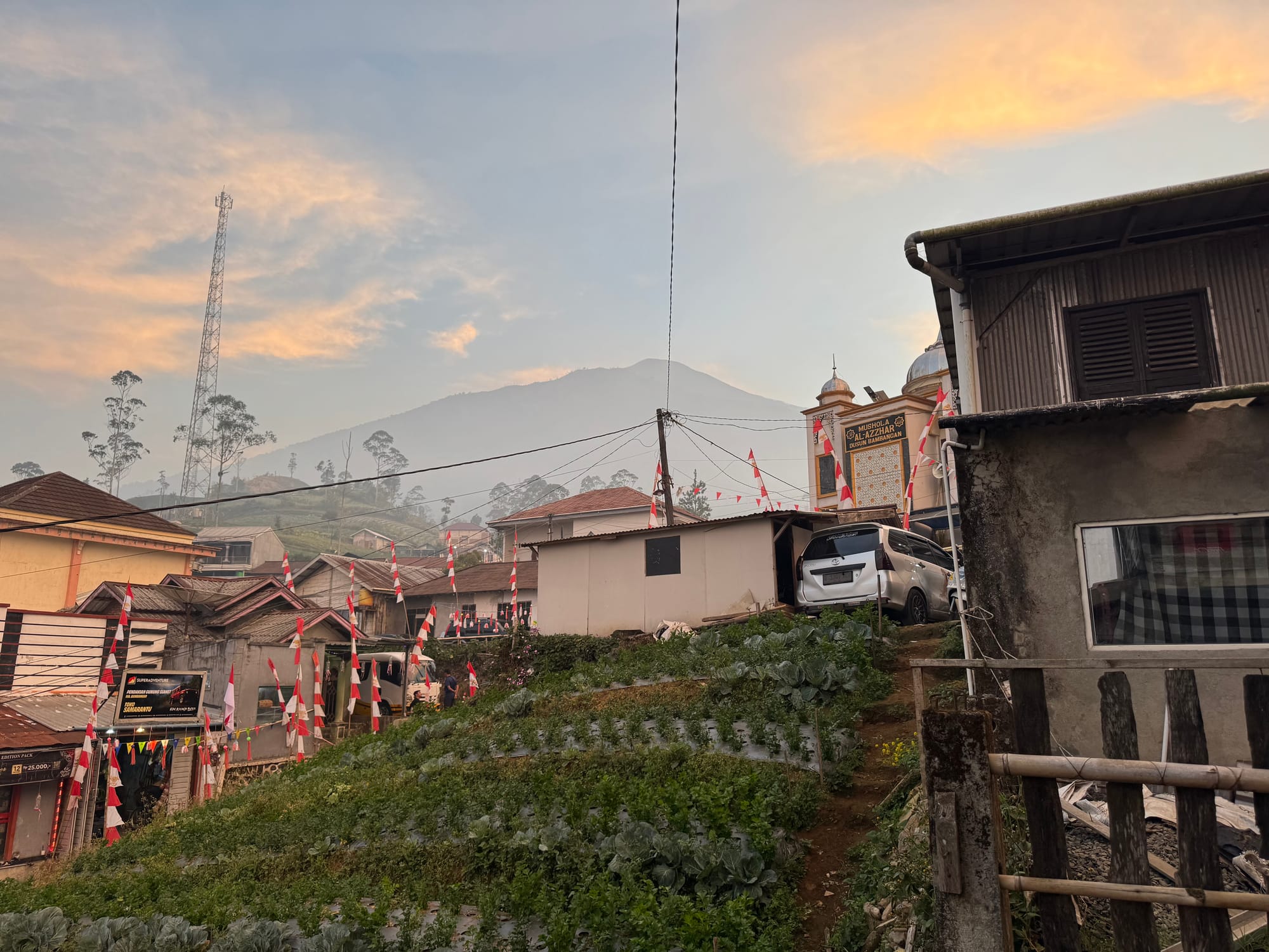
At the Flying Camp, we made plans for the hike. Tomorrow would be Indonesia’s Independence Day and Alfie estimated that over a thousand people would be on the summit for the occasion. It was going to be an interesting climb… I guess this is to be expected from the most populated island in the world. Java has almost half as many people as the United States on an island smaller than Great Britain. It's amazing that there is any wilderness at all.
We had dinner at one of the local warungs (shops) then returned to the homestay. The local mosques (two of them) were broadcasting the evening call to prayer. This went on for over two hours. Once it ended, we passed out, still jet-lagged and feeling the lack of sleep from Jakarta.
The next day started early with a 4am wake up. As expected the prayers began on the loudspeaker at 4:30. After a quick breakfast we took an ojek (motorcycle) ride to the trailhead at Pos. 1. This was my first time riding a motorcycle and it was a bit scary driving over the rough, rutted roads. At one point I almost fell off and had to stop the ojek. I waited in the dark for half an hour while Alfie went back to pick up Shaojie.
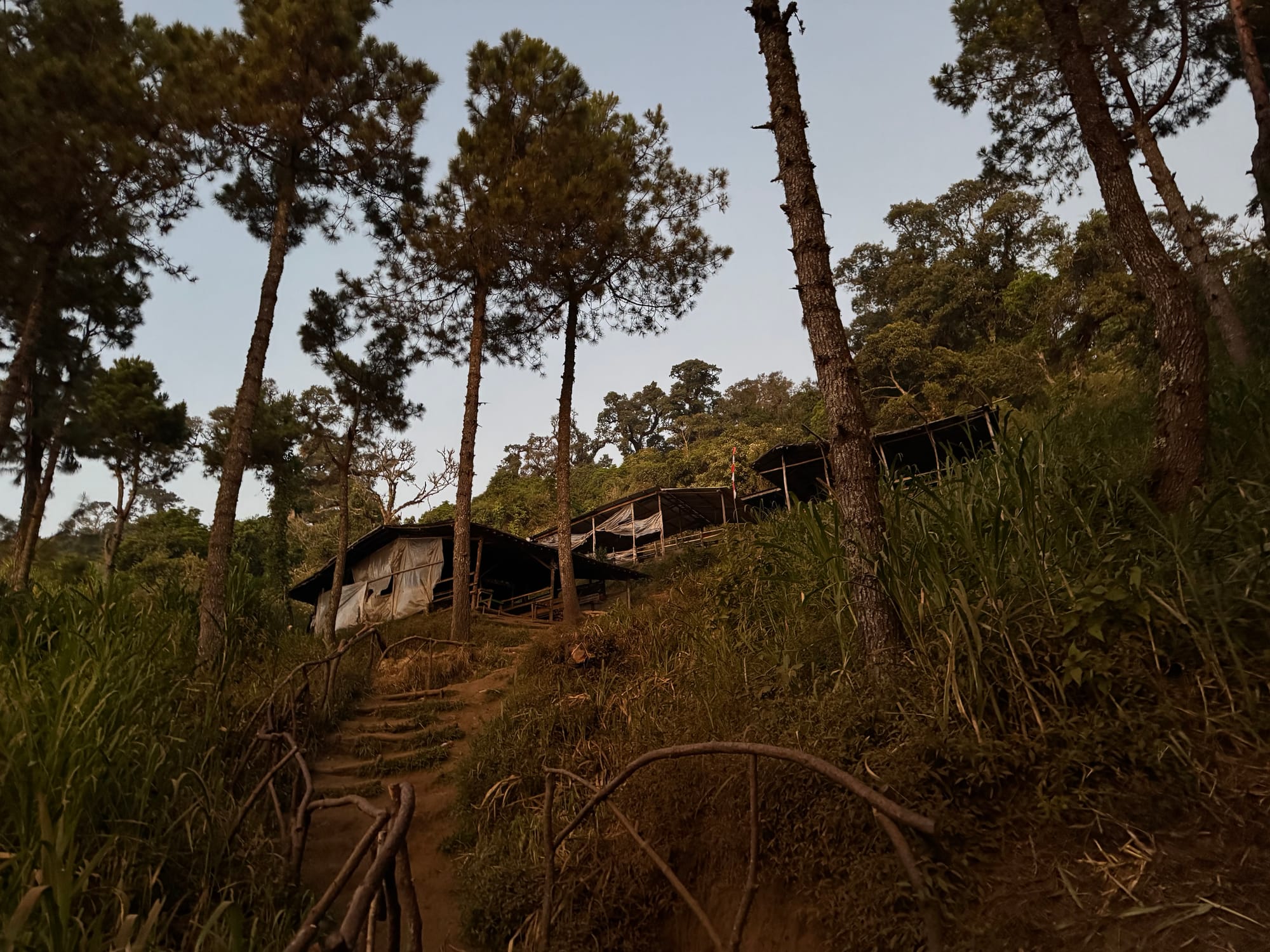
Eventually we started walking through the forest. There were some monkeys in the trees but I couldn't get a photo.
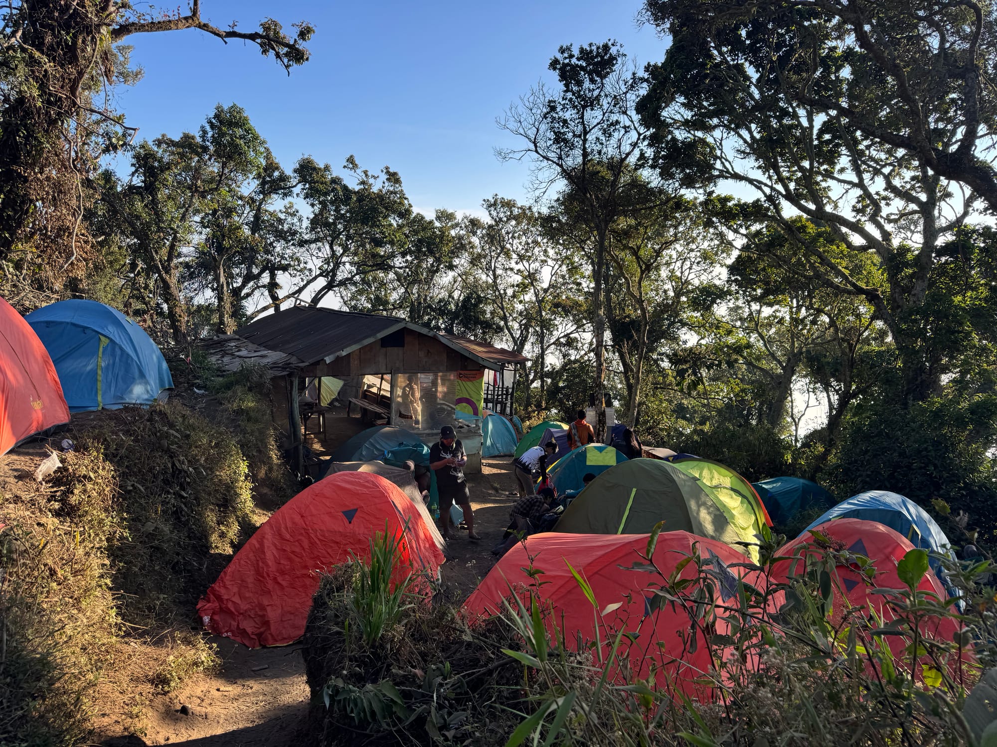
We soon reached Pos 2, the first of many campsites. It had a shack selling food and water, surrounded by many, many tents. From here onward the trail was quite busy. Apparently hiking has skyrocketed in popularity in Indonesia after a movie was released a decade ago. As a result, mountains like Slamet see many visitors, most of whom aren't especially experienced. Because of this, guides are now mandatory.
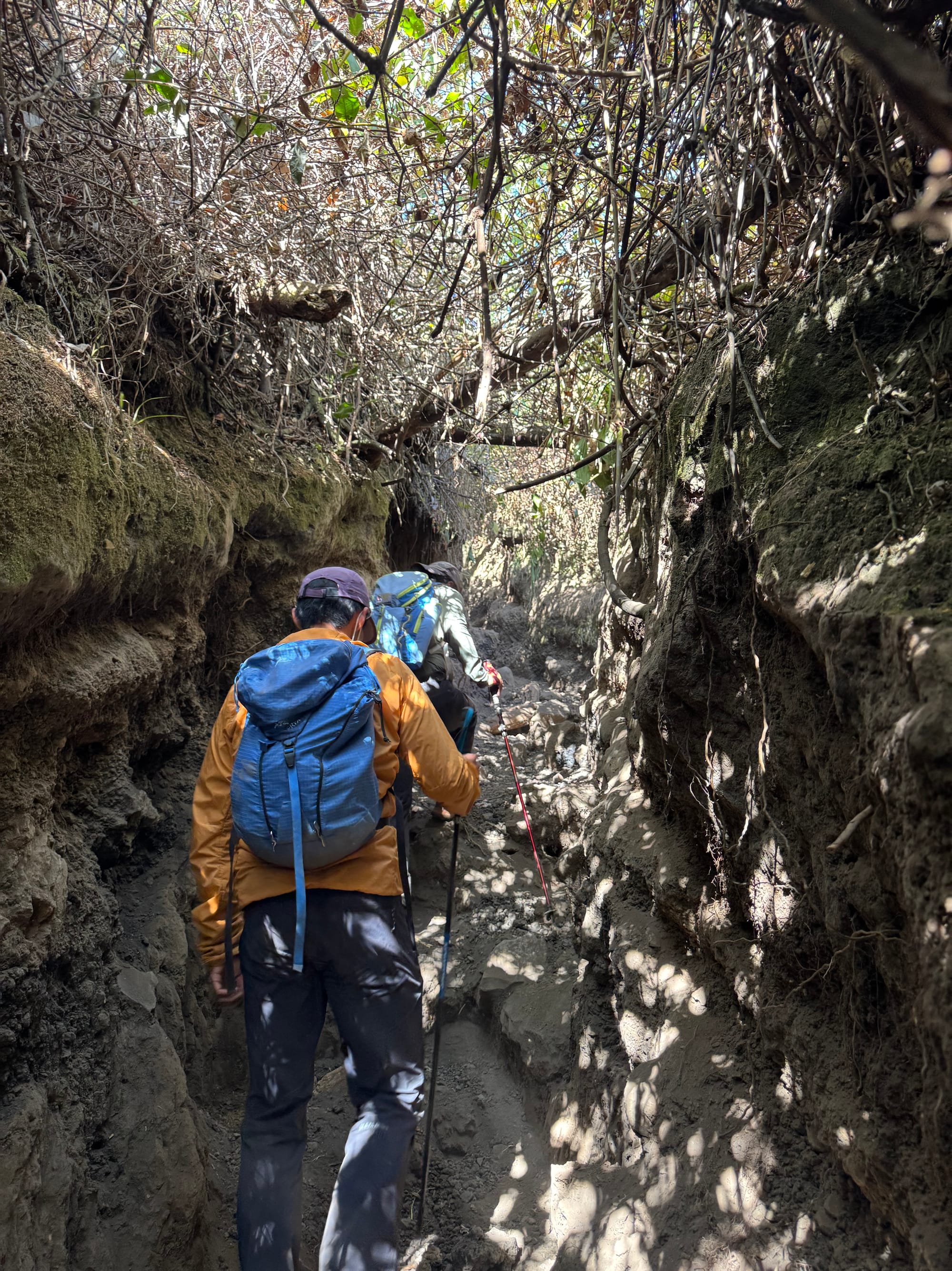
The trail past here had several narrow sections where hikers have eroded a canyon out of the dirt. This was alright on the way up but caused a few traffic jams on the way down…
At one of the campsites we met another foreigner, Chris. It turned out that he was also from BC and we knew a lot of the same people. Small world! We talked about mountaineering for a while: this must be the first time that the extremely obscure Mount Van der Est was mentioned on this mountain. He was on an epic peakbagging adventure and gave us some advice for Merbabu and Lawu.
We kept walking steadily through the forest. It hadn't rained for a while and the trail was quite dusty. Face masks helped a lot here.
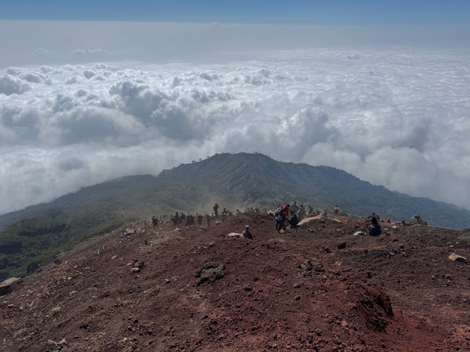
At 3150 metres (Pos 9) we left the forest. The rest of the climb was along a steep slope with loose rocks and literally hundreds of people above us. Alfie said these were some of the worst conditions he’d seen on this mountain. We moved very carefully, avoiding the crowds and taking care not to dislodge any rocks, until we reached the ridge which led to the obvious true summit. I’d rented poles at the last minute and this proved to be a very good decision.
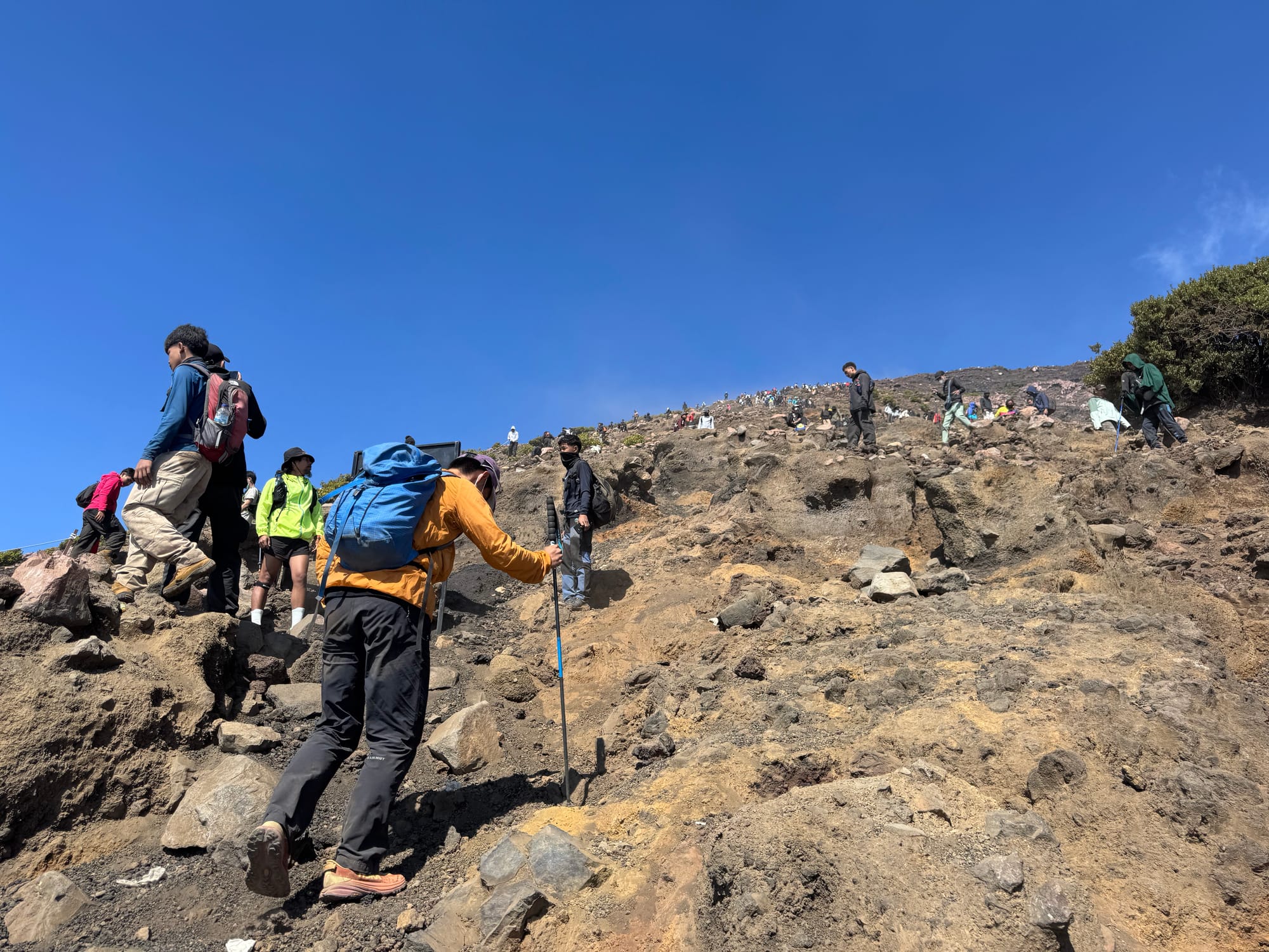
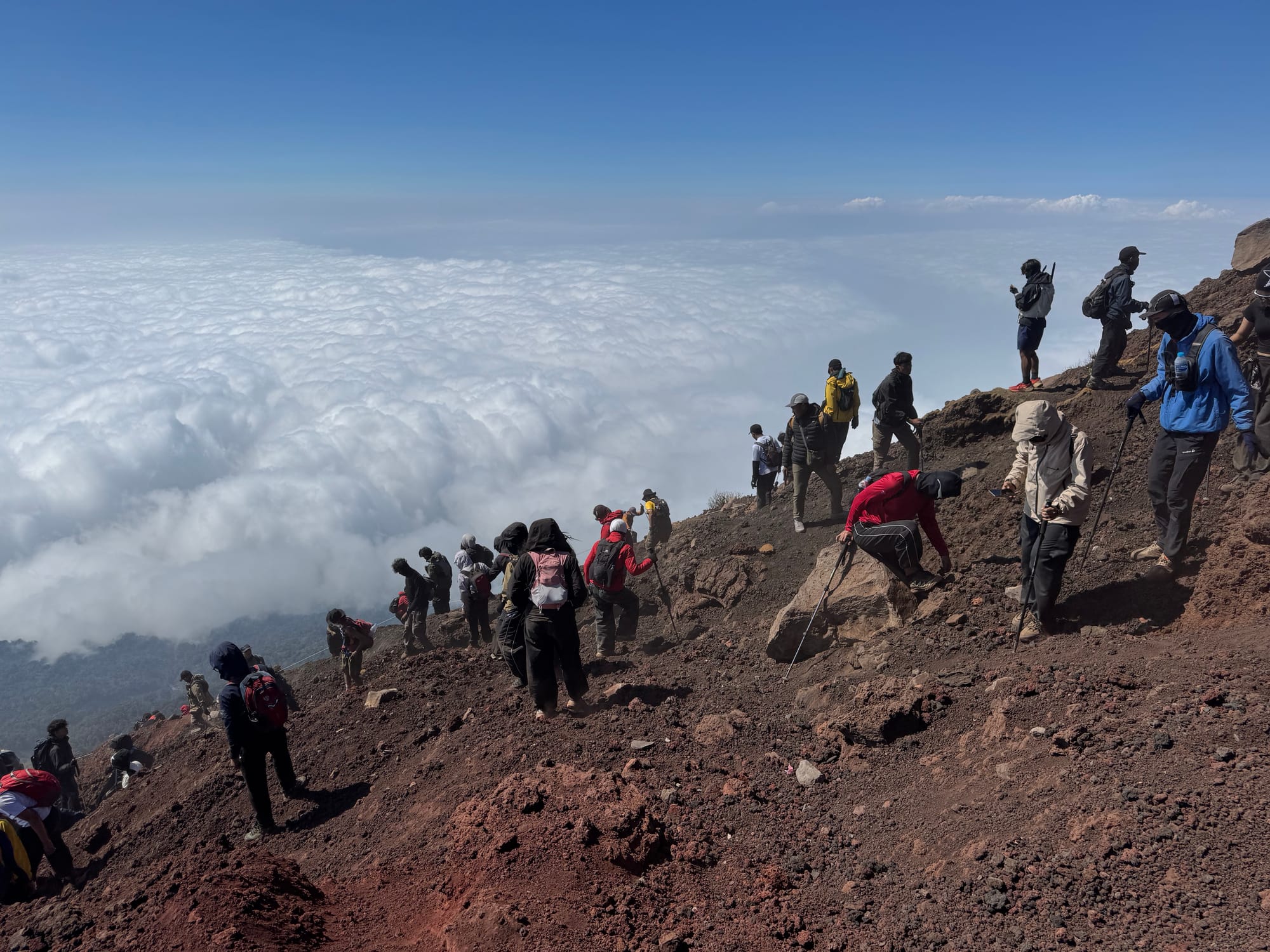
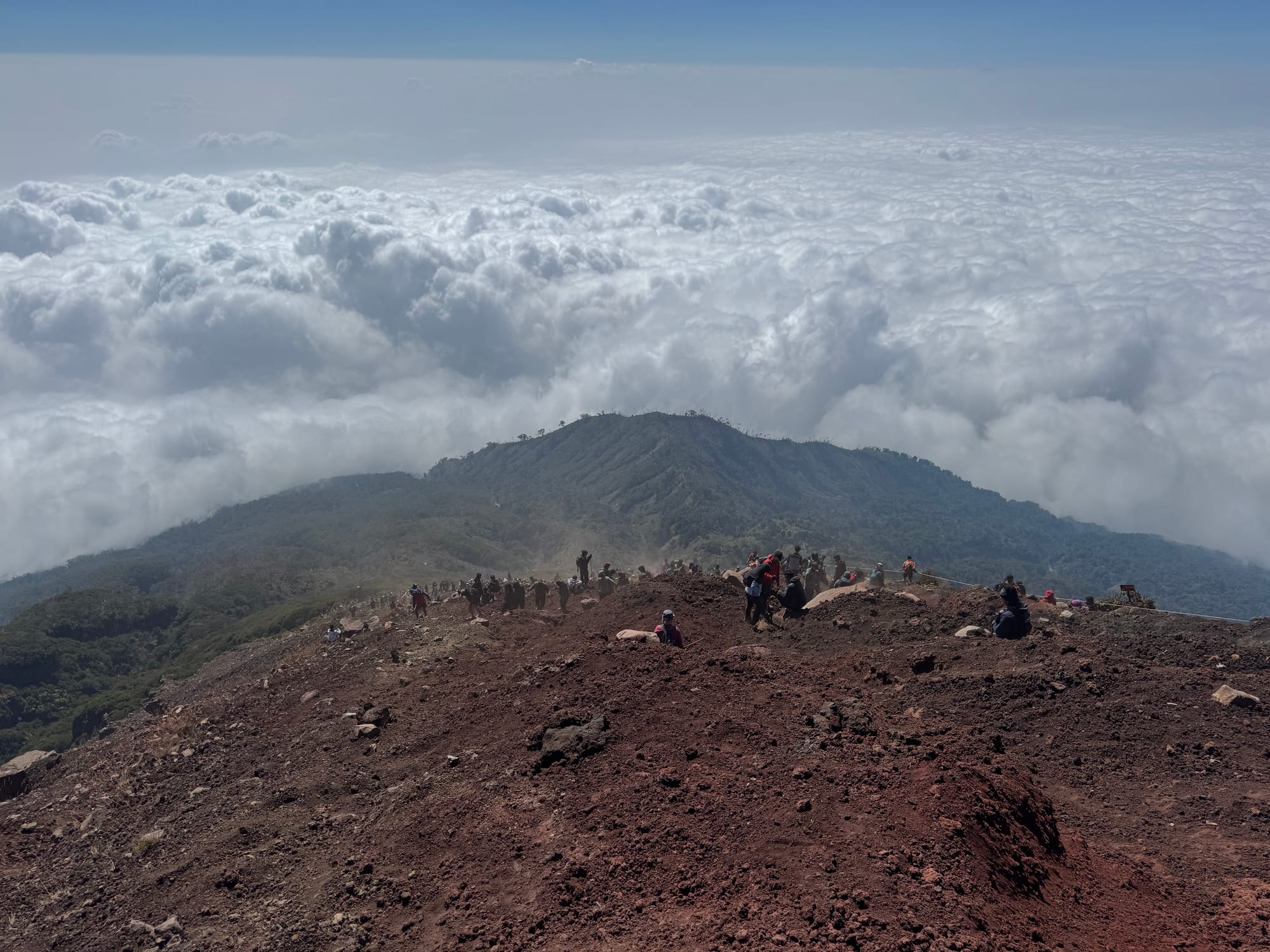
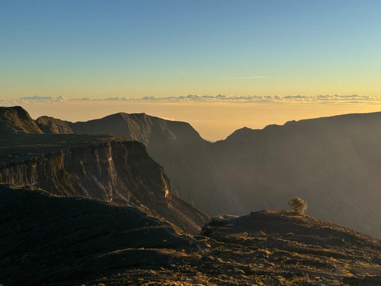
The summit had good views but a layer of smoke covered everything outside the mountain.
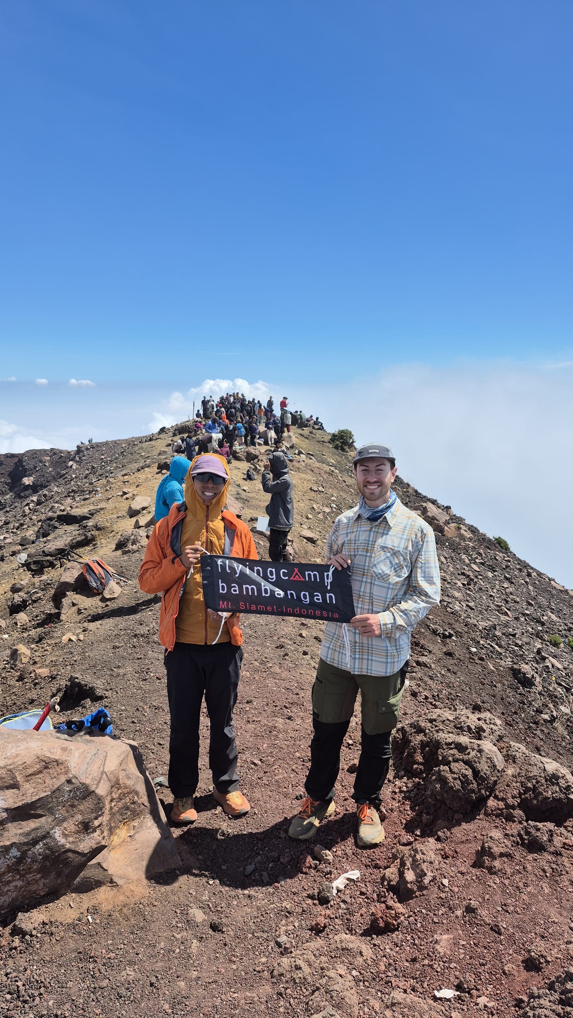
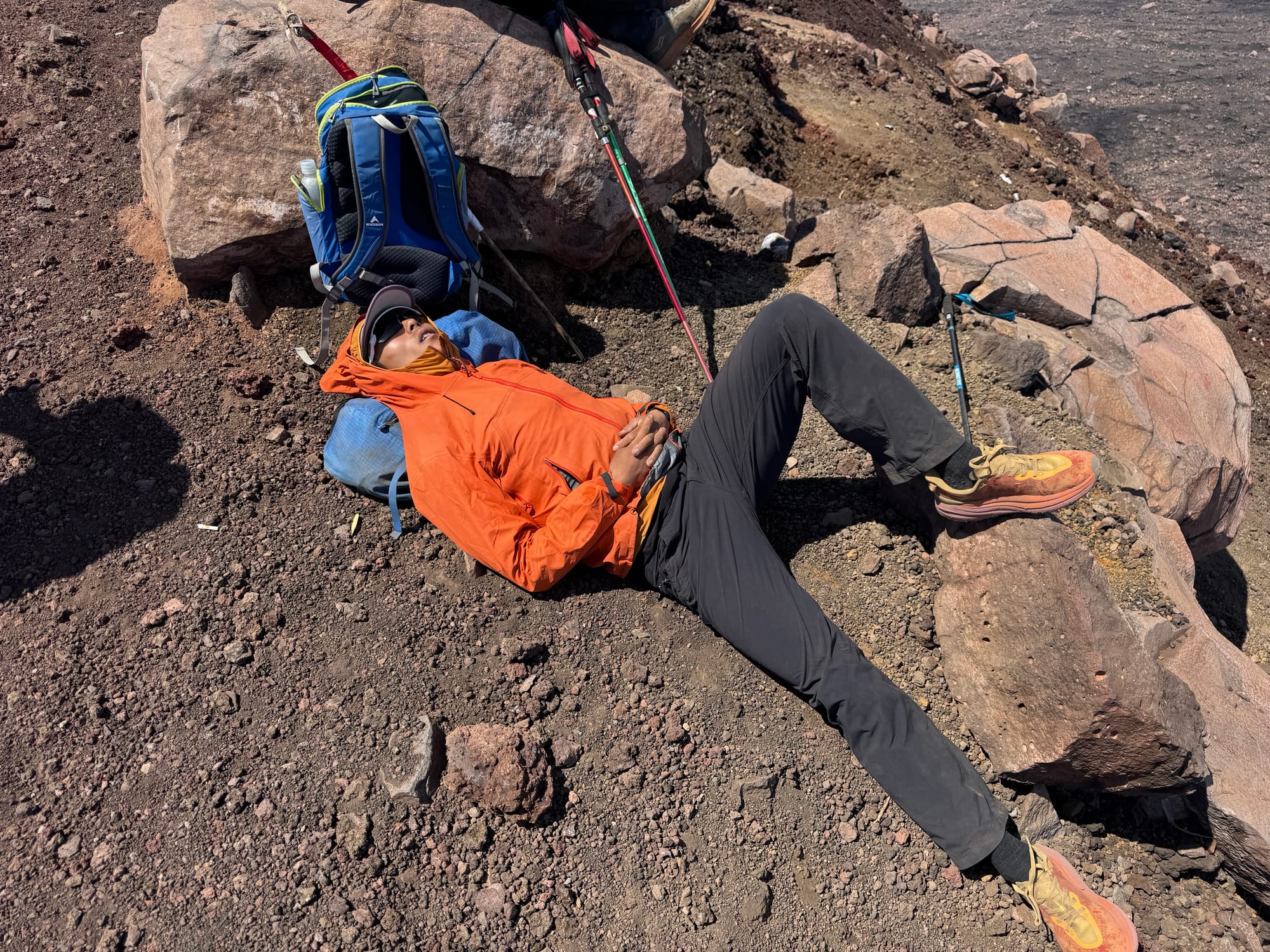
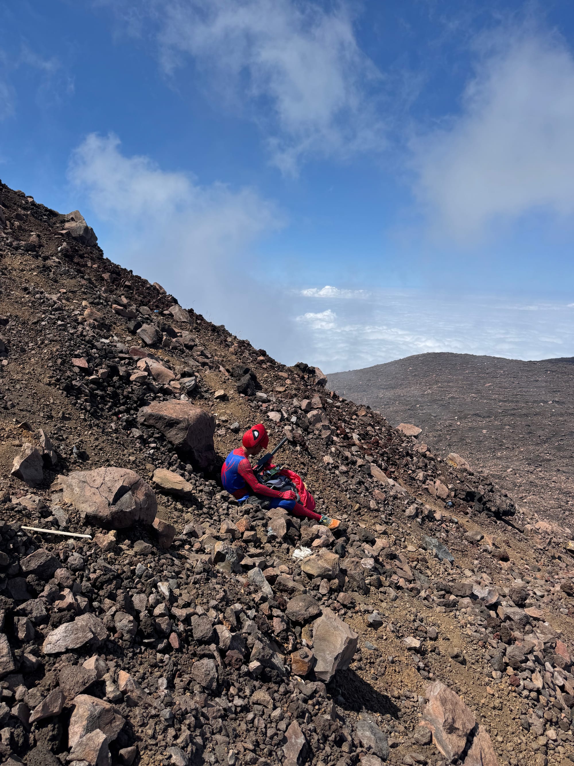
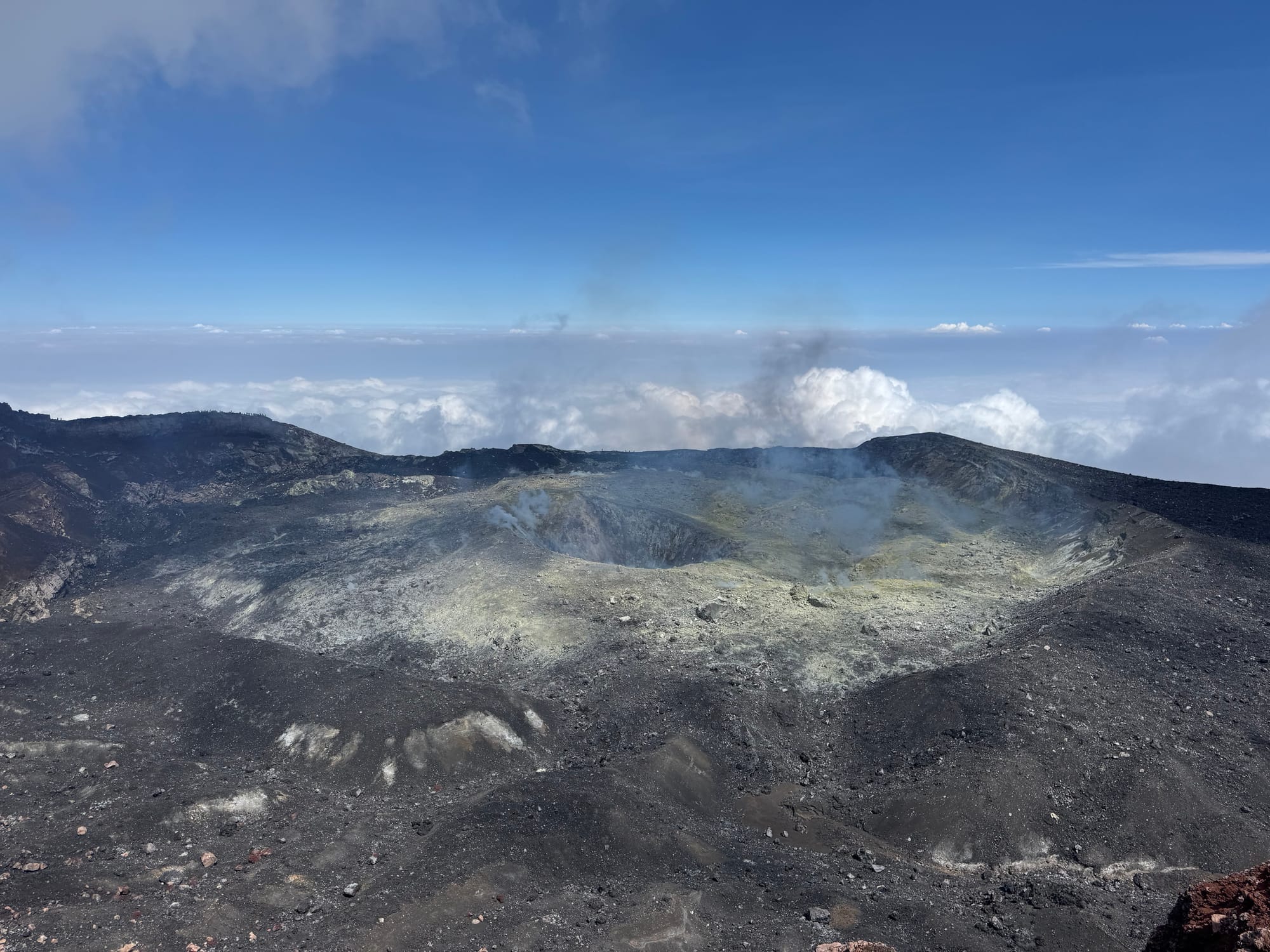
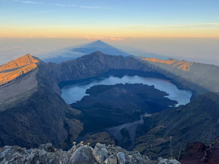
I walked a couple hundred metres to the west to see the crater rim, which offered better views than the true summit and was worth the trip.
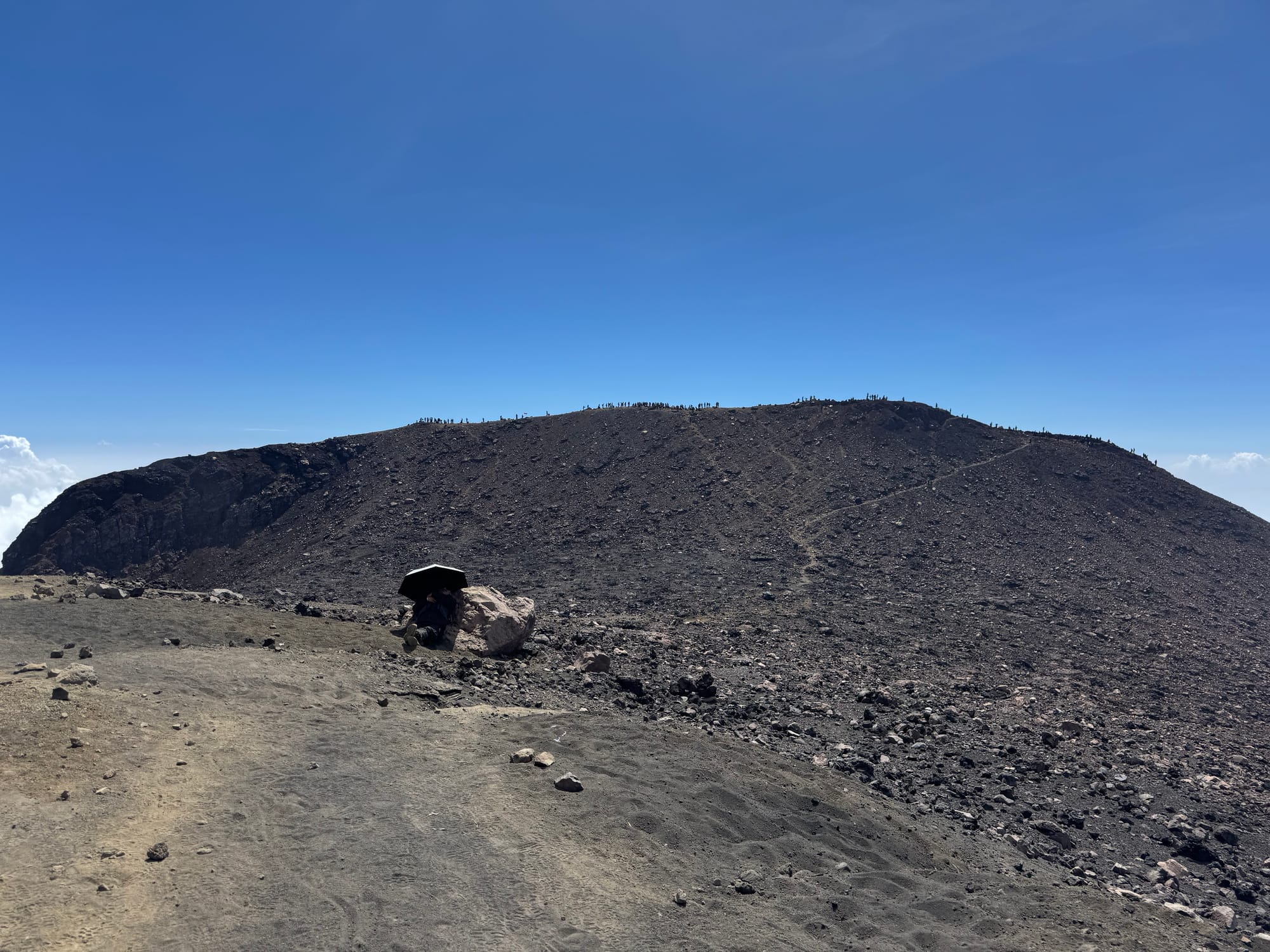
After a long break on the summit it was time to head down. We quickly returned to the treeline and headed down the trail. The canyons were mostly too narrow to pass, so we were stuck behind long queues for most of the descent. When the trail opened up we would pass people, being careful to stay out of the way. The slippery trail surface made this challenging.
Once we were below the clouds, the smog was quite thick and visibility dropped, giving the trail a spooky atmosphere.
We ended up reaching the trailhead in the early afternoon, 7 hours and 17 minutes from when we started, although we could’ve gone much faster without the traffic jam. Some SAR members talked to Alfian and were surprised that we’d made it up so quickly.
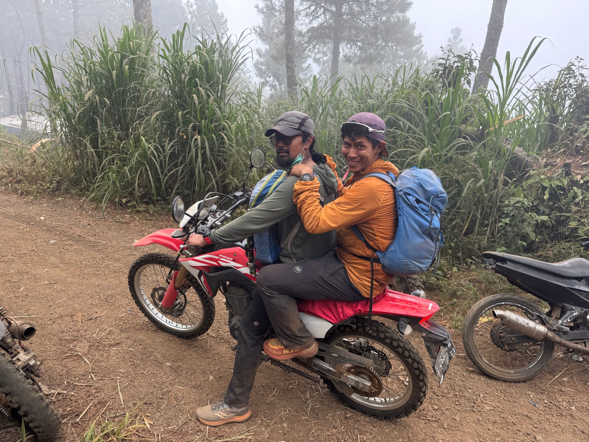
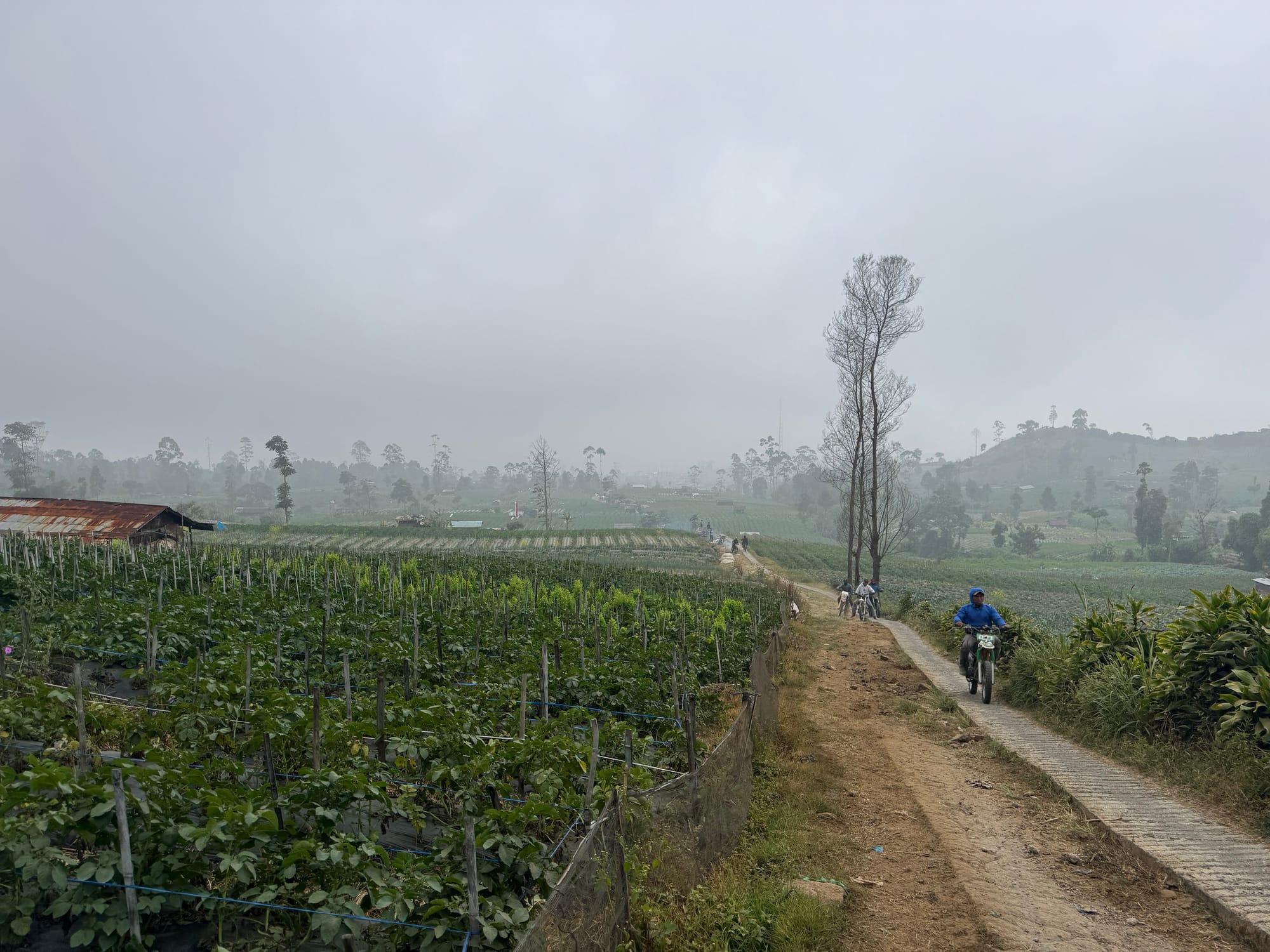
Shaojie and Alfian left on the motorbike. There were many other ojek drivers selling a ride, but I preferred to walk the 2km back to town. There is a path that mostly parallels the ojek track. It was a pleasant walk through forest then farmer’s fields. Then Alfian drove us back to Purwokerto for the next adventure.
Member discussion