Gunung Merbabu
Date: August 20, 2026
Distance: 11.41 km
Elevation gain: 1281 m
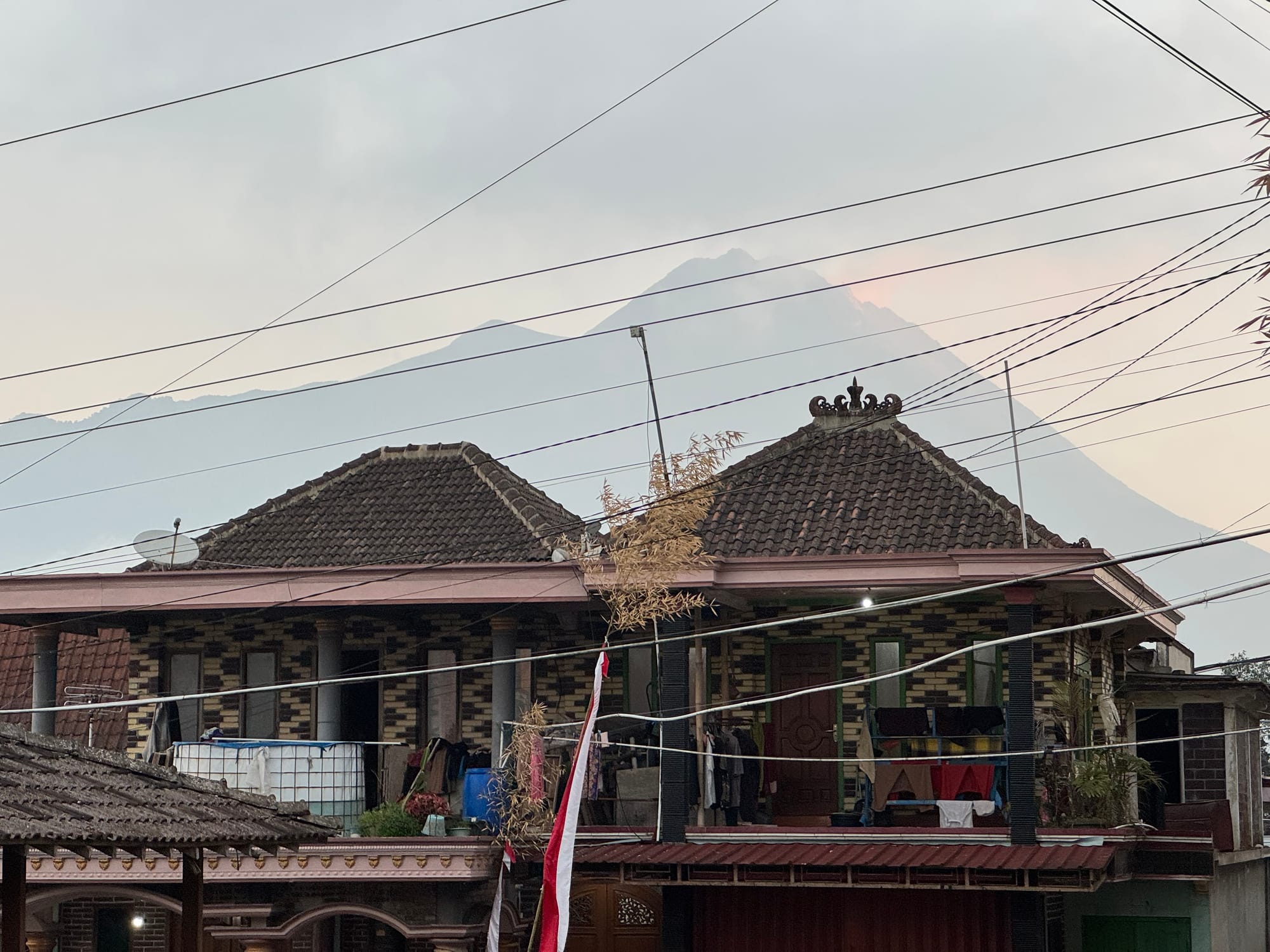
Gunung Merbabu is a dormant volcano to the north of Yogyakarta, Indonesia. It’s directly across from the more famous Mount Merapi, Indonesia’s most active volcano, which can be seen from several viewpoints on Merbabu. It's a 2 hour taxi ride from Yogyakarta, making it relatively accessible to tourists. Like many Indonesian volcanoes, it's mostly done as an overnight trip, but experienced hikers could do it as a day trip.
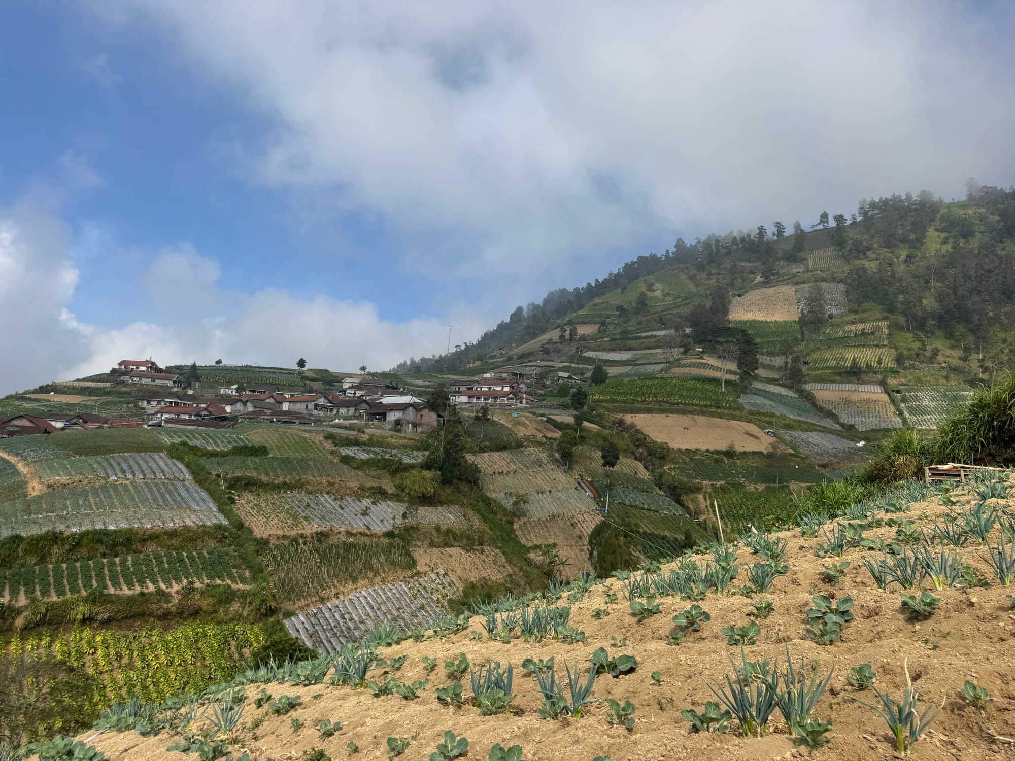
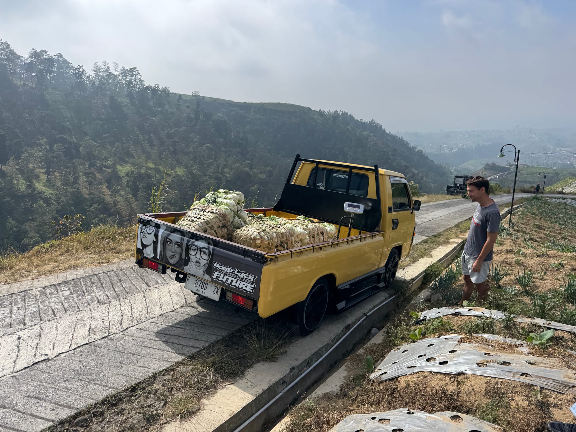
Shaojie and I organized a group to hike to Mt. Merbabu from the Genting route to the south, the most popular route. We were joined by Hugo and Henri from France and Germany. We caught a taxi around 6:30am (earlier would have been better) and headed north. As we got closer to the mountain, the roads became steeper. The last couple hundred metres involved a steep climb with a cliff to one side, and the road was barely wide enough for the car. In hindsight it would’ve been better to take the taxi to Selo Tengah village and hire motorbikes or walk from there.
The trailhead is guarded by a ranger station. You’re meant to register online in advance, but the website wasn’t working on any of our phones. With some Google Translate, we managed to complete registration on the ranger’s phone. The fee was Rp.232,000 ($18 CAD) per day for one hiker. If camping you’ll need to pay an additional 200,000 and a small camping fee, which they tried to charge us at first, but we explained we weren't camping. We were also charged a separate Rp5000 entrance fee when driving to the base camp. Guides are not required but you could probably find one at the ranger station.
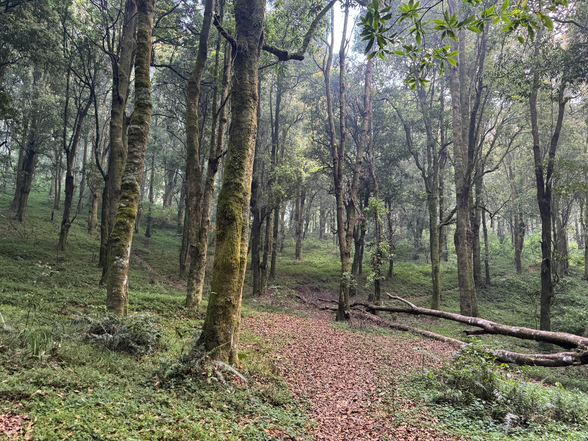
The red tape took about an hour to sort out but eventually we were on our way. The trail was much cleaner than Gunung Slamet, with almost no litter. An eagle flew overhead. There were a few junctions in the trail so the GPS track was useful.
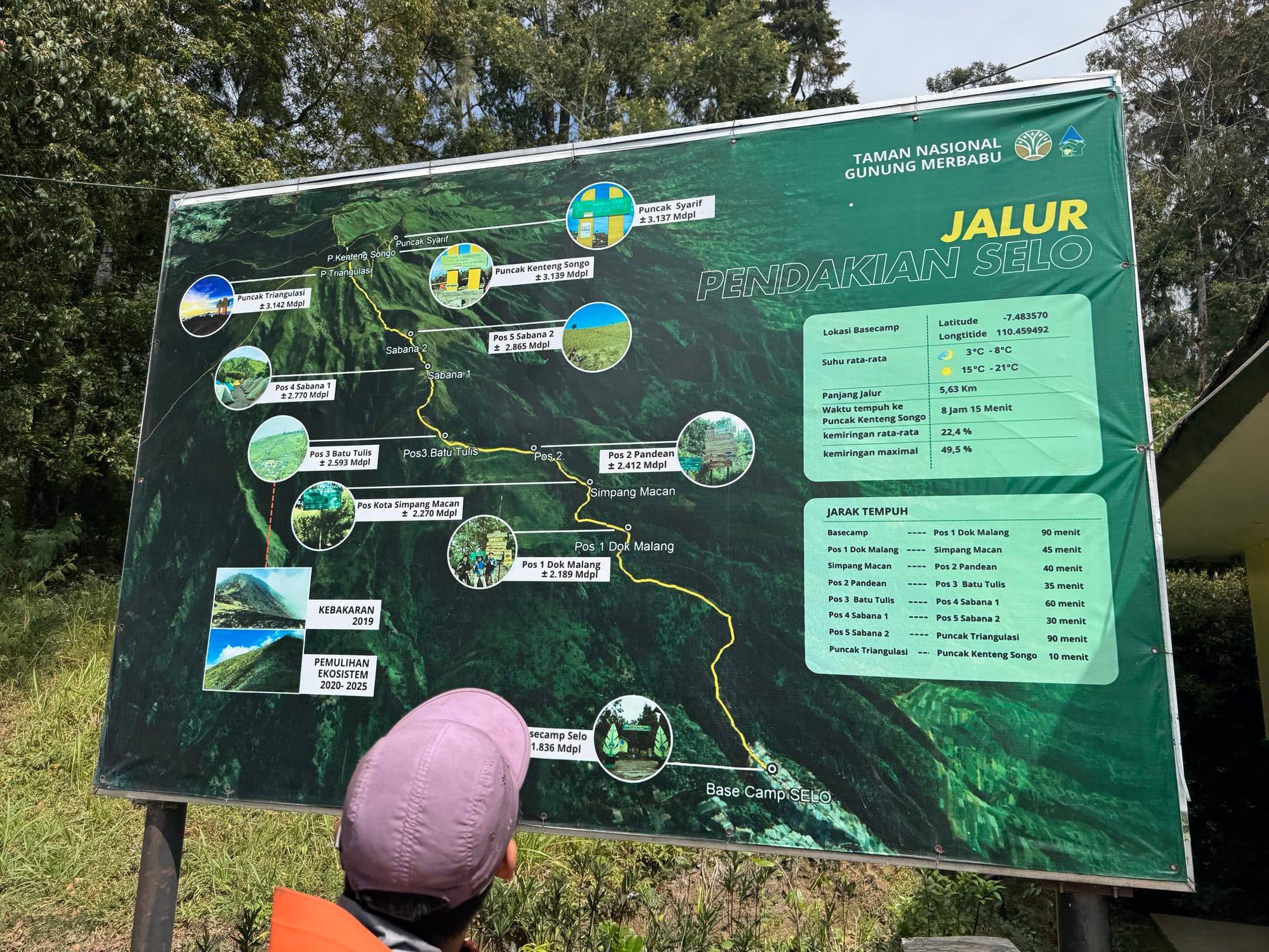
We passed Pos (campsite) 1 and Pos 2 before reaching a turnoff to a viewpoint of Merapi at 2550m. Unfortunately the clouds were starting to roll in and not much could be seen.
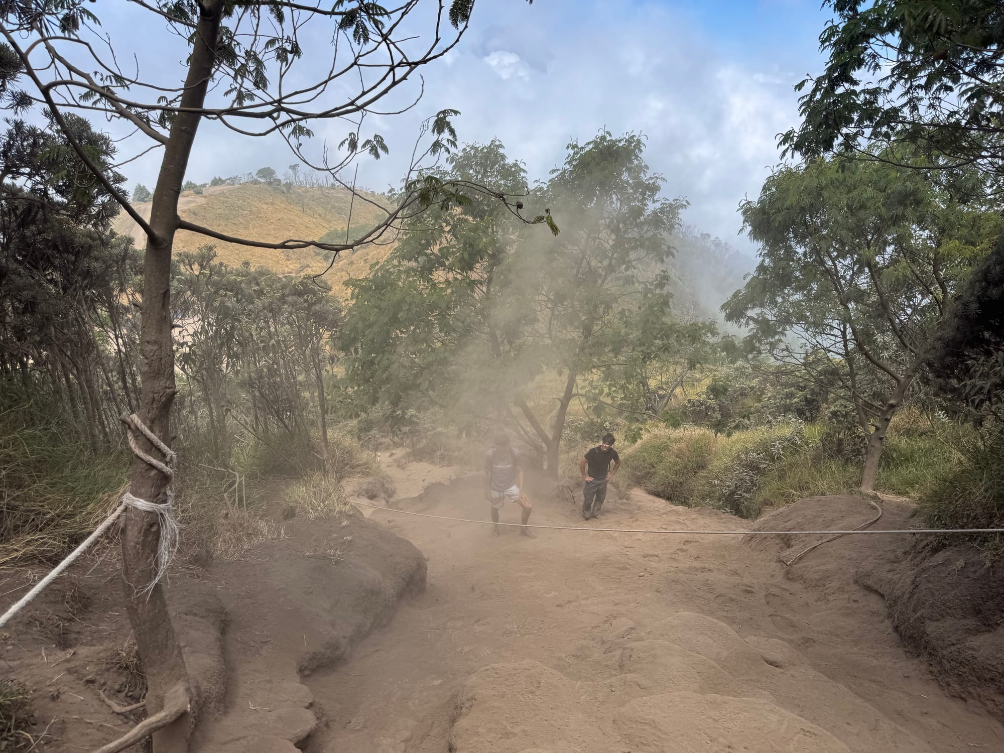
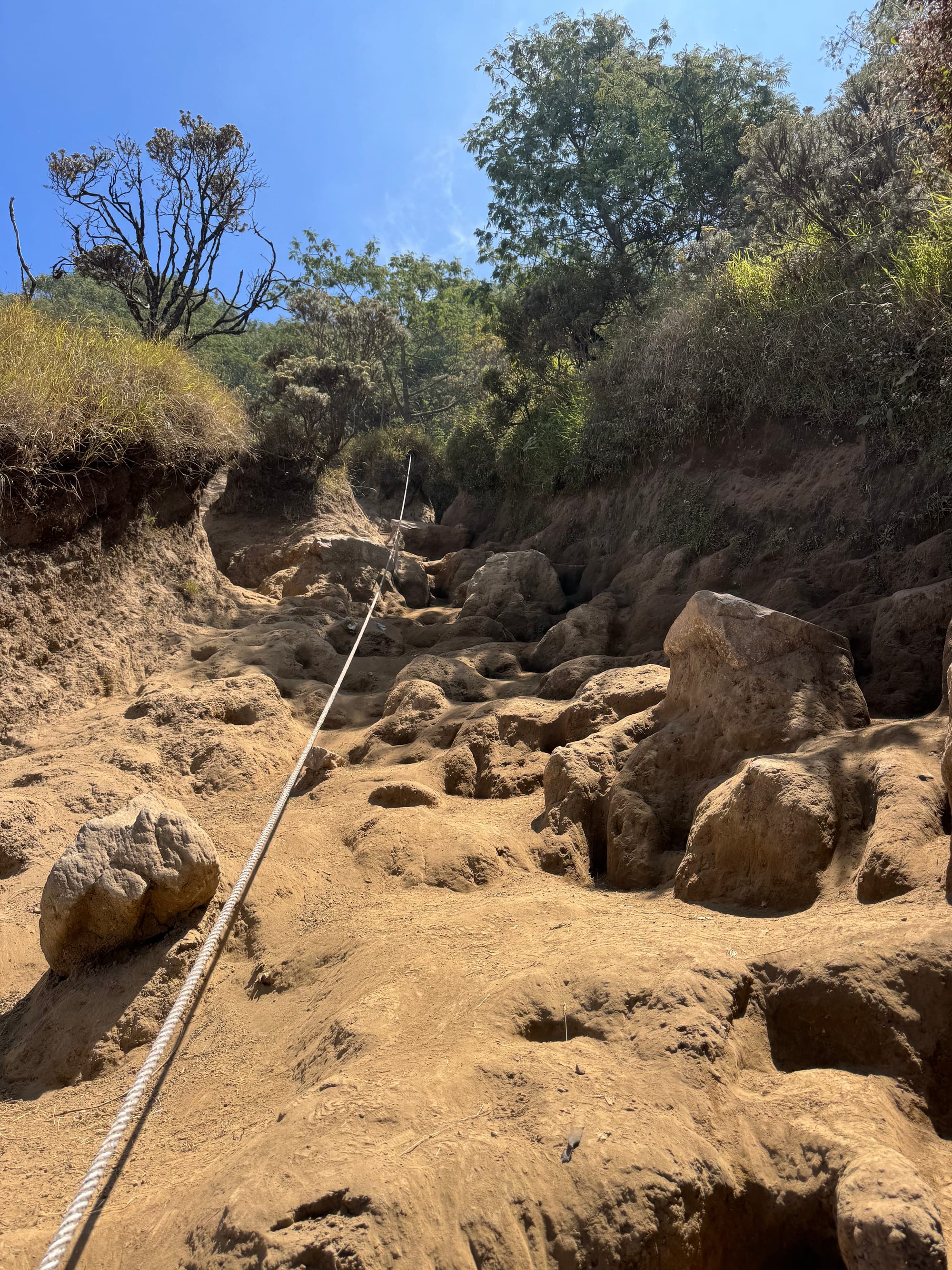
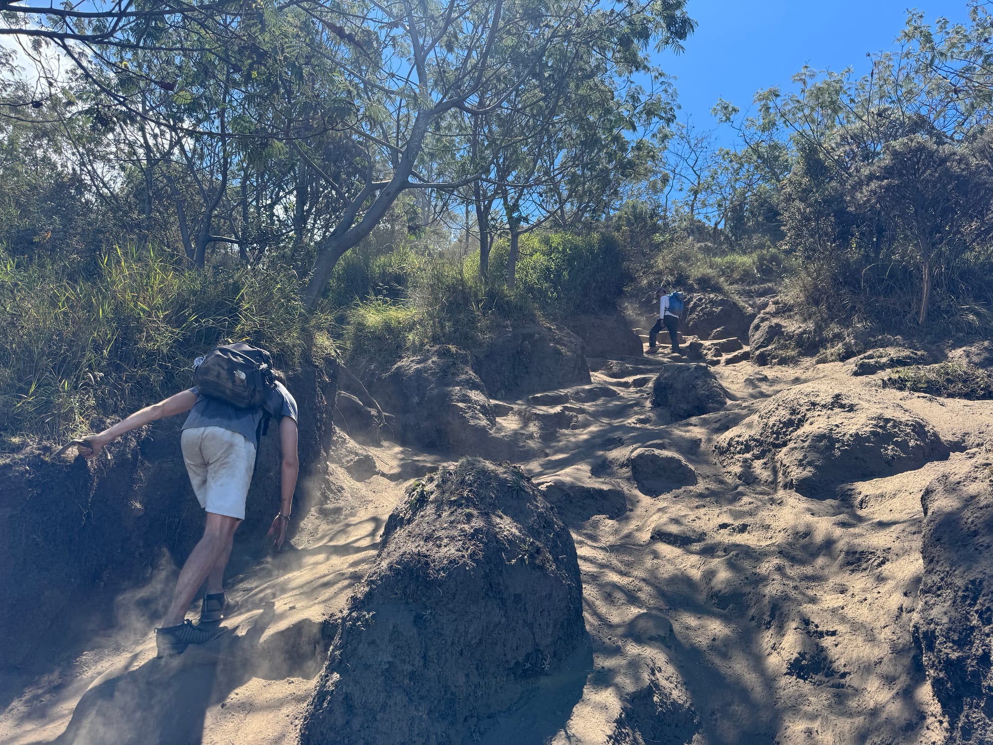
Past here the trail got much steeper and dustier. After my experience on Slamet I’d brought a face mask and it was very helpful. We kicked dust up with every step. Also, the dust on the rocks made things very slippery and some of us fell a few times.
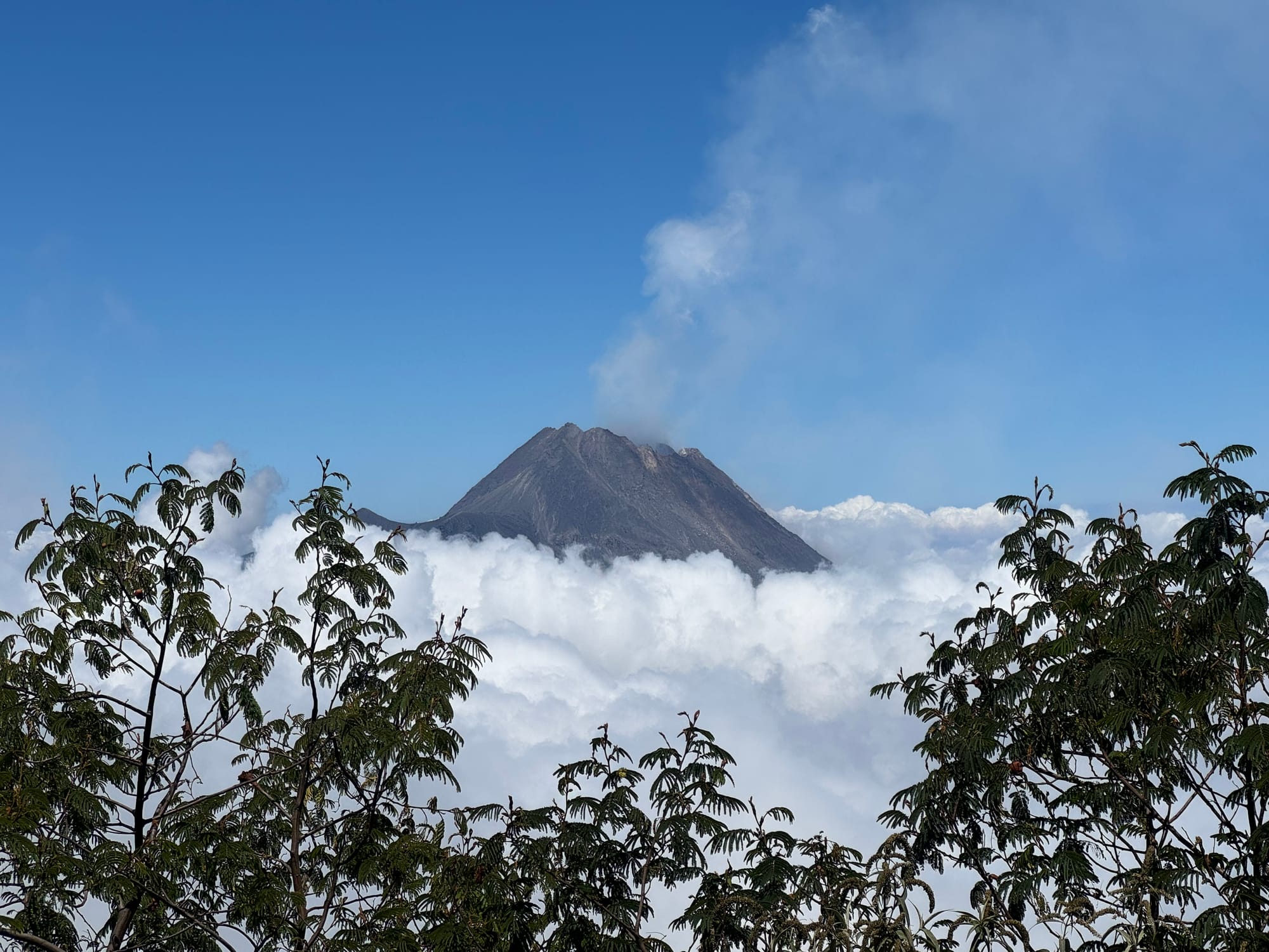
Clearings in the trees gave us good views of Merapi above the clouds.
At two points - pos 4 and pos 5 - the trail flattened out, then the climb began again.
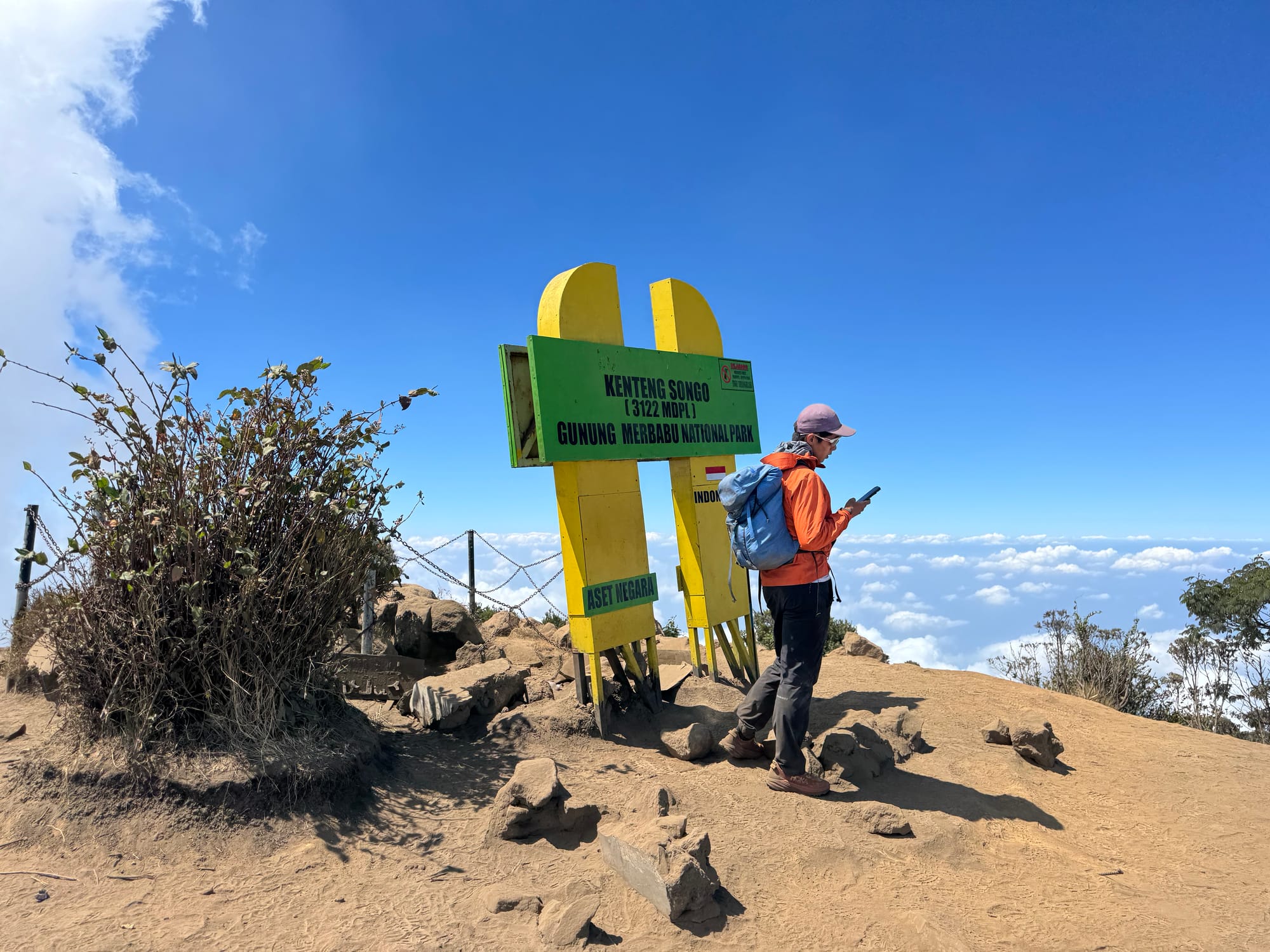
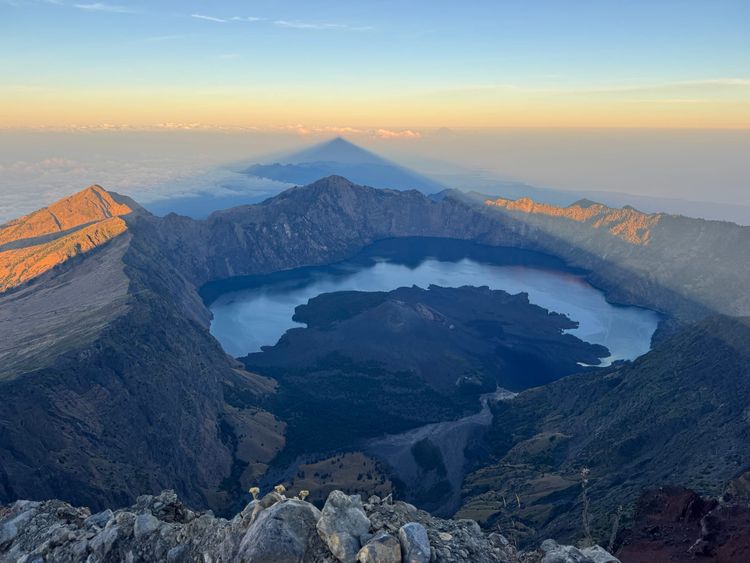
Eventually we were above the trees. A layer of clouds covered the island, but the larger volcanoes - Lawu, Sumbing, and of course Merapi - rose above the clouds.
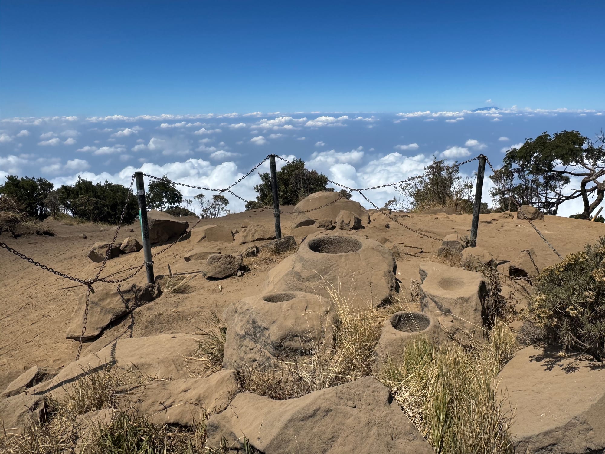
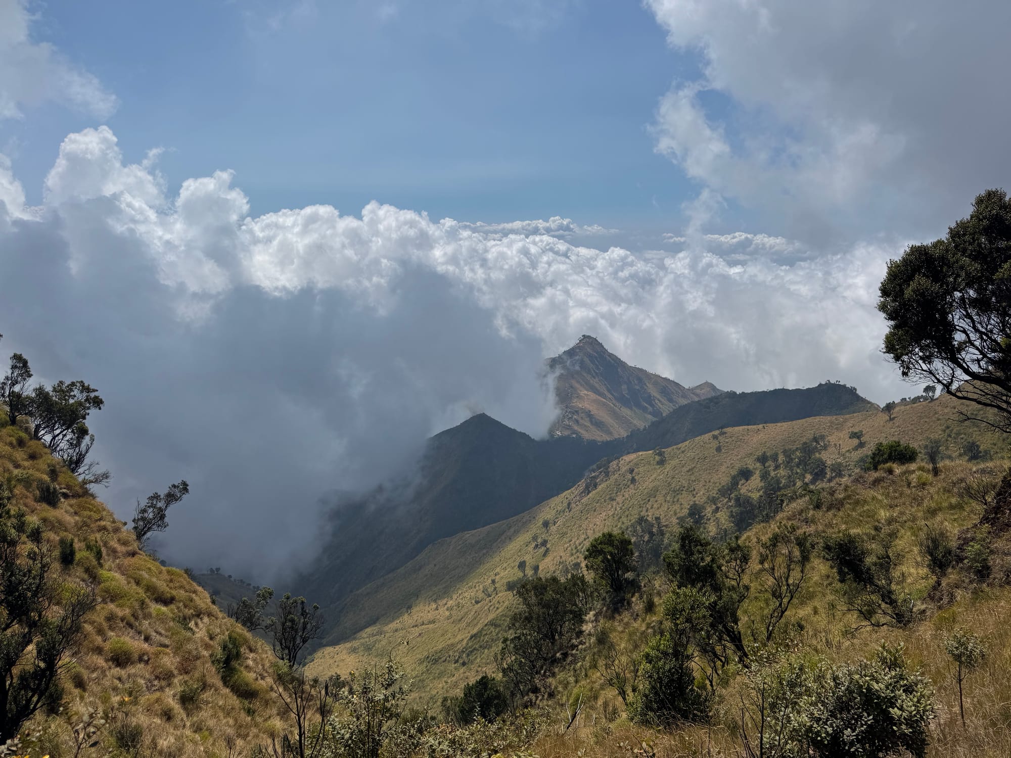
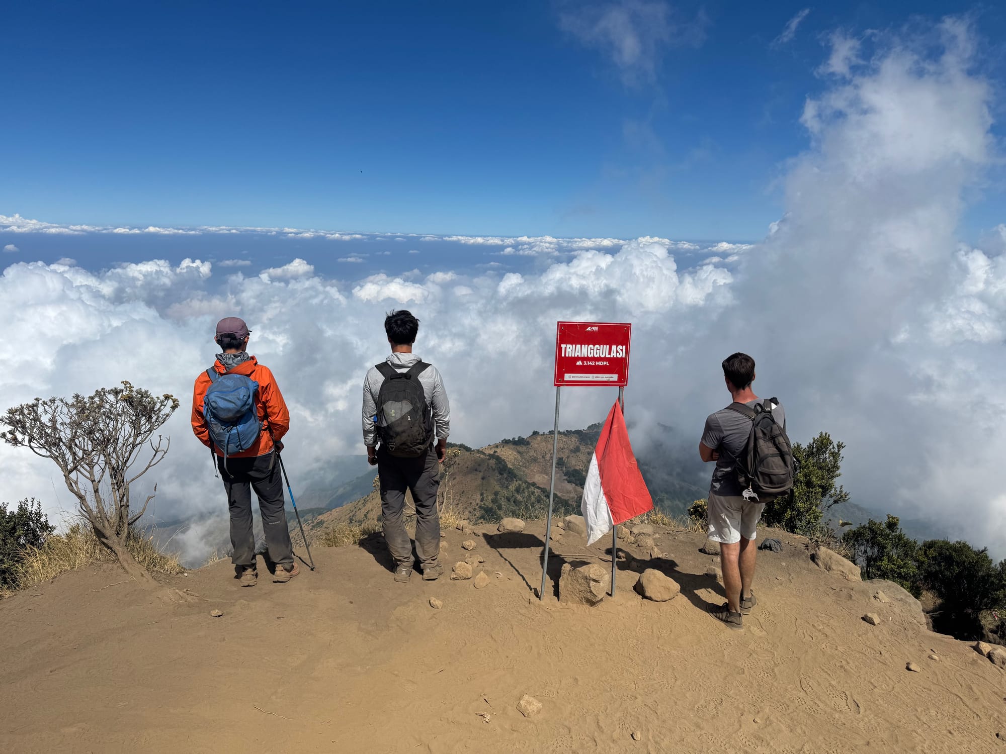
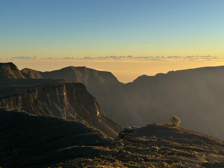
There are two summits, Triangulasi and Songo. Triangulasi is slightly higher. Songo has some interesting cup-marked rocks on the peak. Both of them had great views of the ridges on the north side of the mountain. We went to Songo first, had a long lunch break, then tagged Triangulasi on the way out.
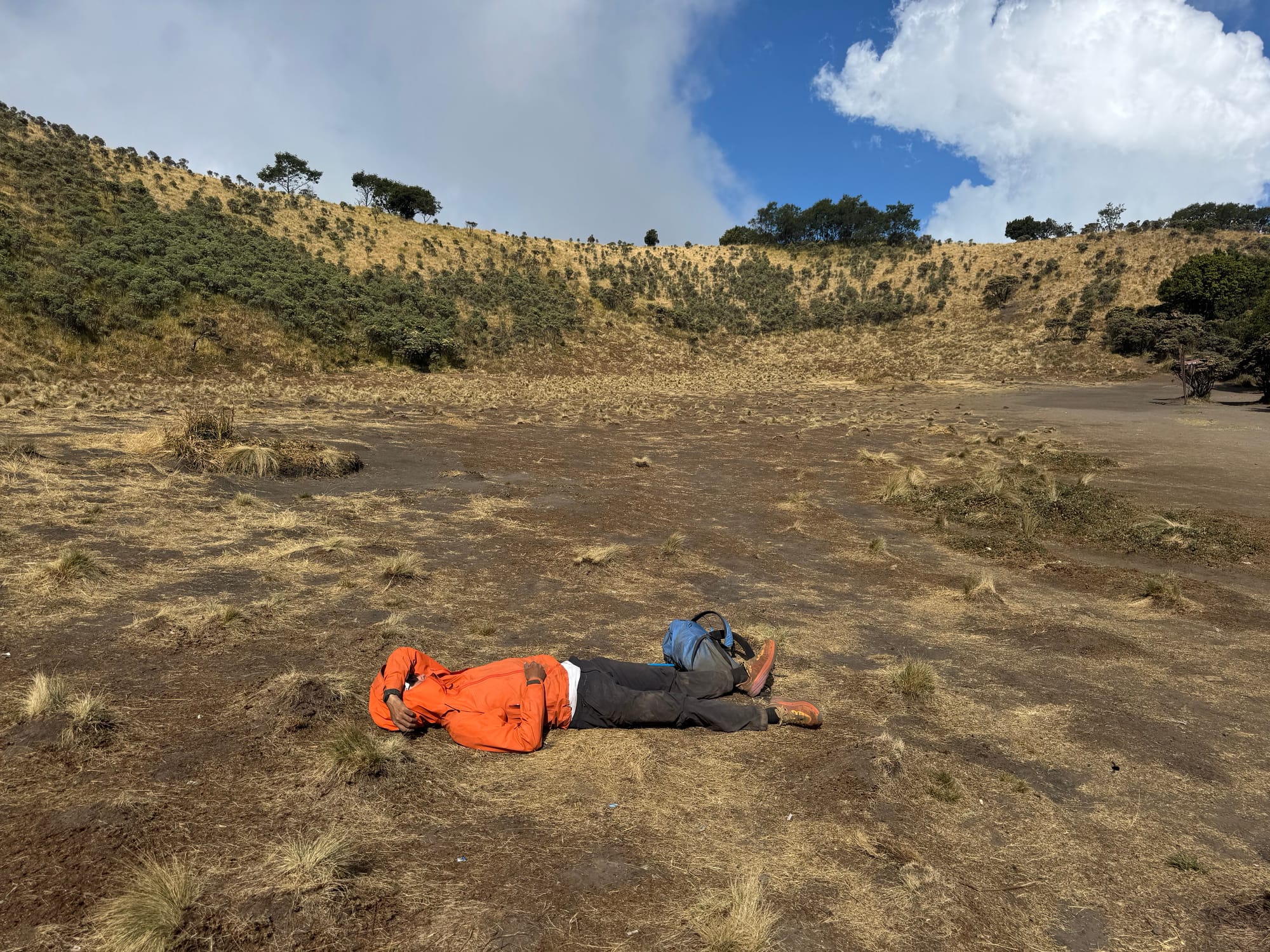
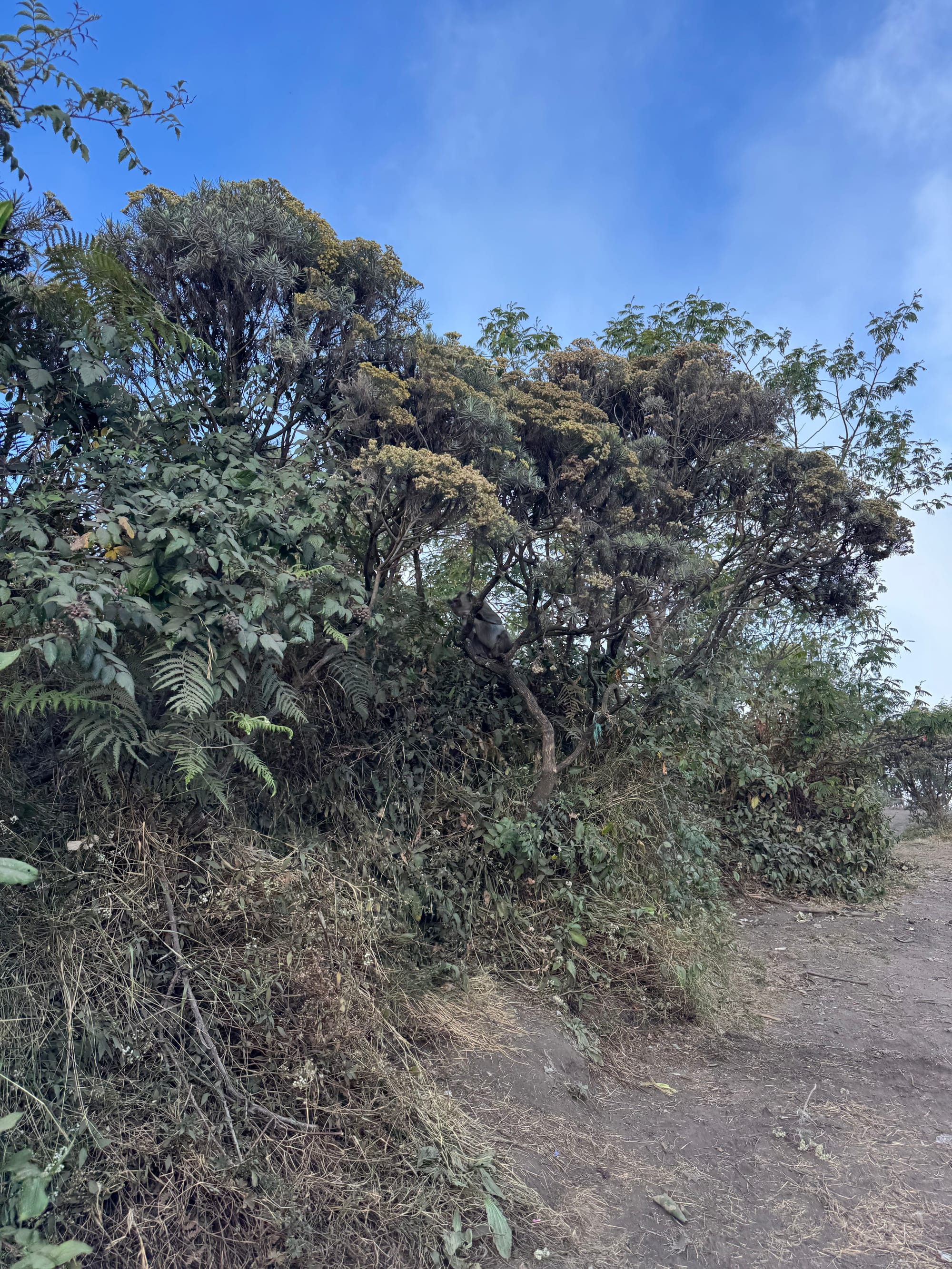
We had a long break at pos 5 which turned into a nap. There was a monkey in the trees watching us.

On the way down we saw some more monkeys at pos 4.
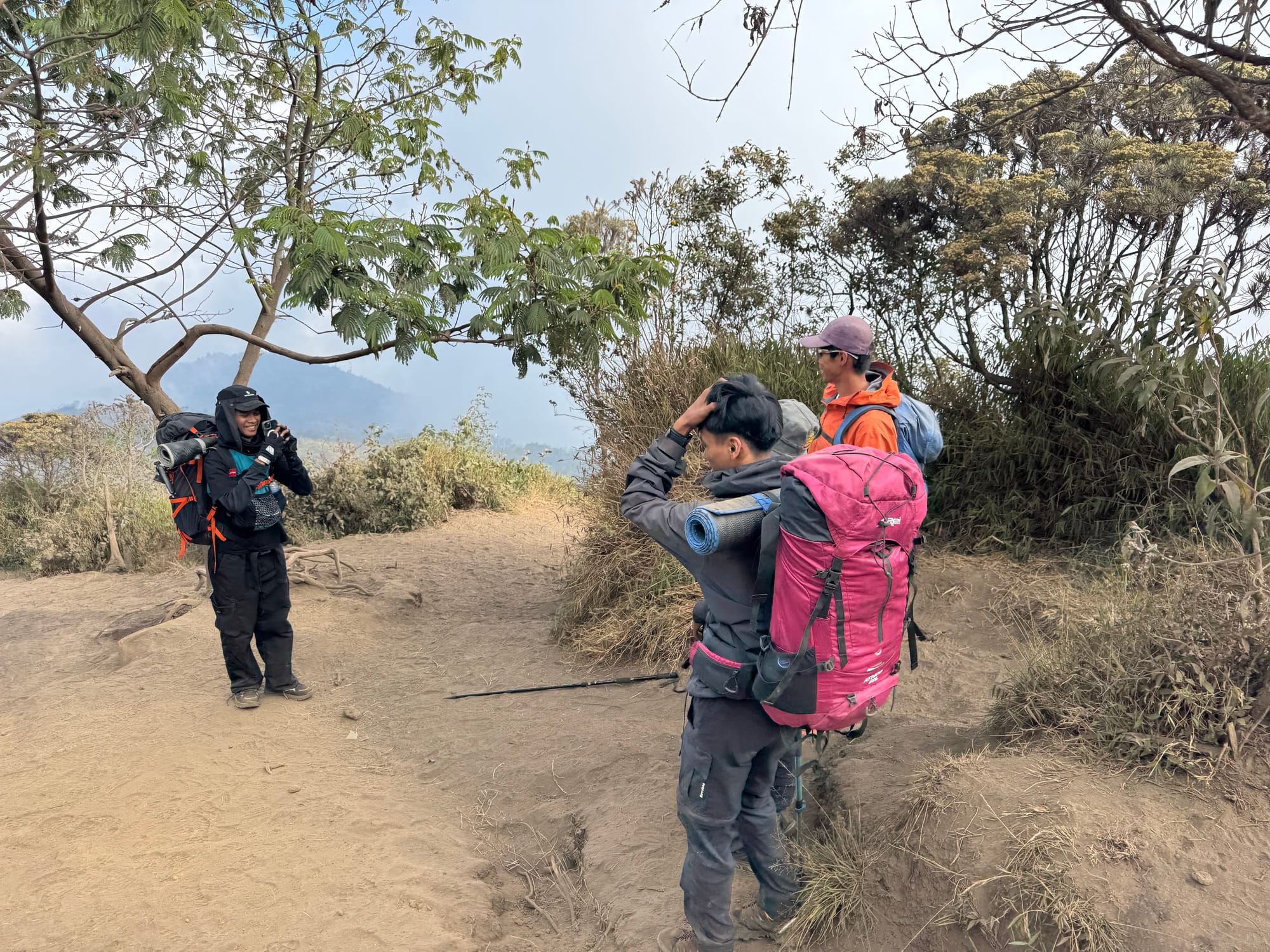
The descent back to the ranger station was mostly uneventful. At one point some local hikers asked to take a photo with me and Shaojie, not the first time this has happened on this trip…
We arrived at the ranger station half an hour or so before sunset.
To my surprise, there was a Grab taxi available, so we booked it, walking down the steepest part of the road so the taxi wouldn’t have to drive there.
It was a long drive back to Yogyakarta. At one point, our taxi was hit by another car, but no one was hurt and the drivers sorted things out. We eventually made it back to the hotel.
Member discussion