Gunung Penanggungan
Date: August 22, 2026
Distance: 8.8 km if starting at Jolotundo and ending in Tamiajeng
Elevation gain: 1153 m
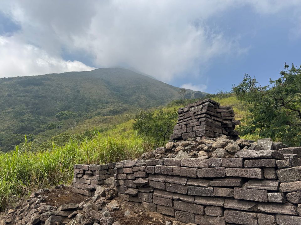
Gunung Penanggungan is a smaller volcano north of the massive Arjuno-Welirang massif, near Surabaya and Malang in East Java. Many Hindu temples, dating back to the 10th century AD, can be found on its western slopes. One Dutch survey in the 1930s counted over eighty temples (Gunung Bagging). The mountain is a straightforward ascent, but it rewards exploration.
There are several trails to the peak. I started from Jolotundo on the west side, took a circuitous route to the summit, then descended the trail to Tamiajeng on the mountain’s south side. The southern trail is the most direct and busiest but doesn't pass any temples.
I took a taxi from Malang to Jolotundo, which took just under two hours. The Jolotundo trailhead starts just before the Candi Jolotundo temple. Registration was easy and inexpensive (Rp 20,000) and soon I was on my way. There are a number of side trails to farmer’s fields so the rangers gave me a map.
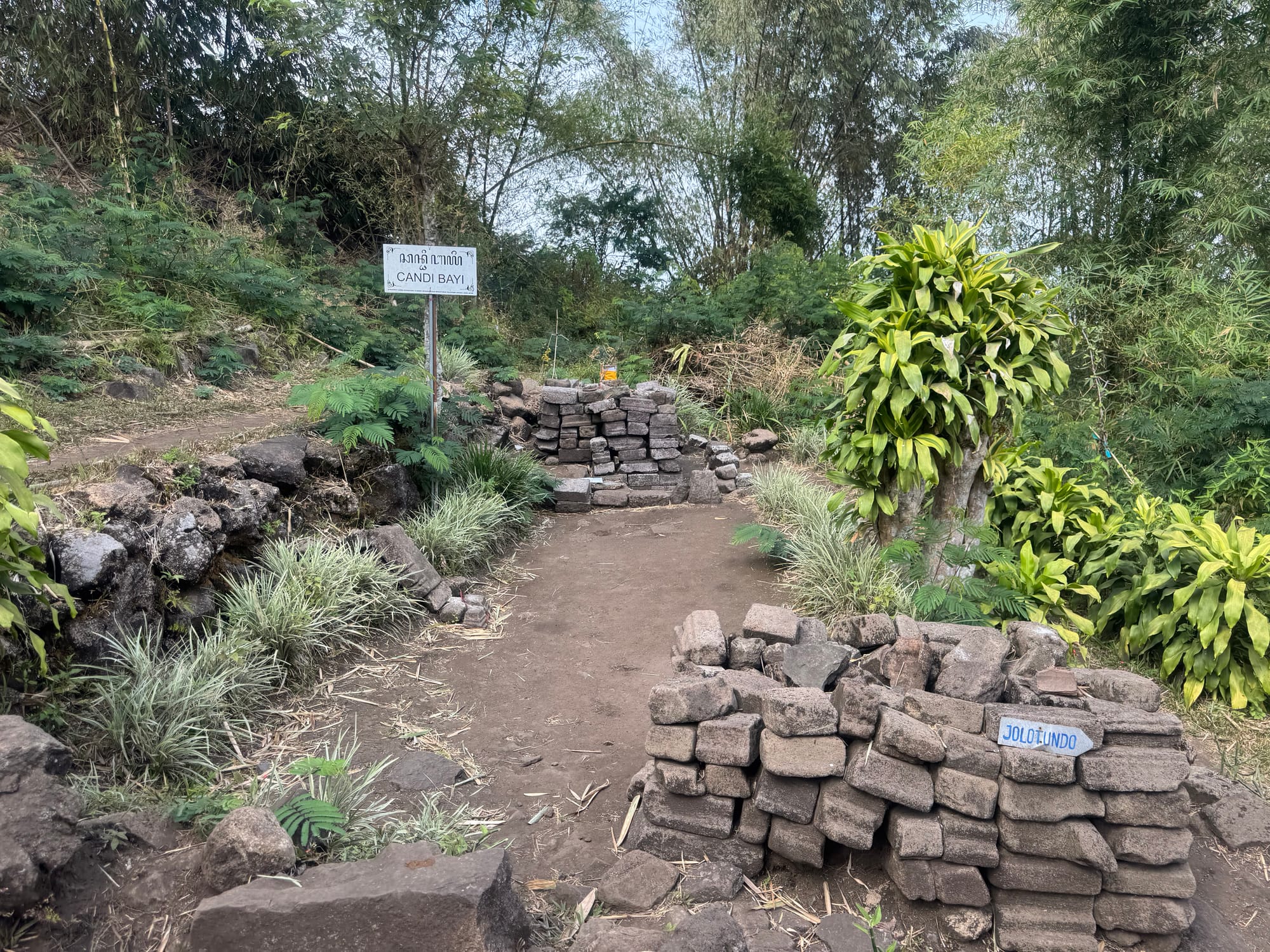
At 950m I came to Candi Bayi, the first of many temples. More followed.
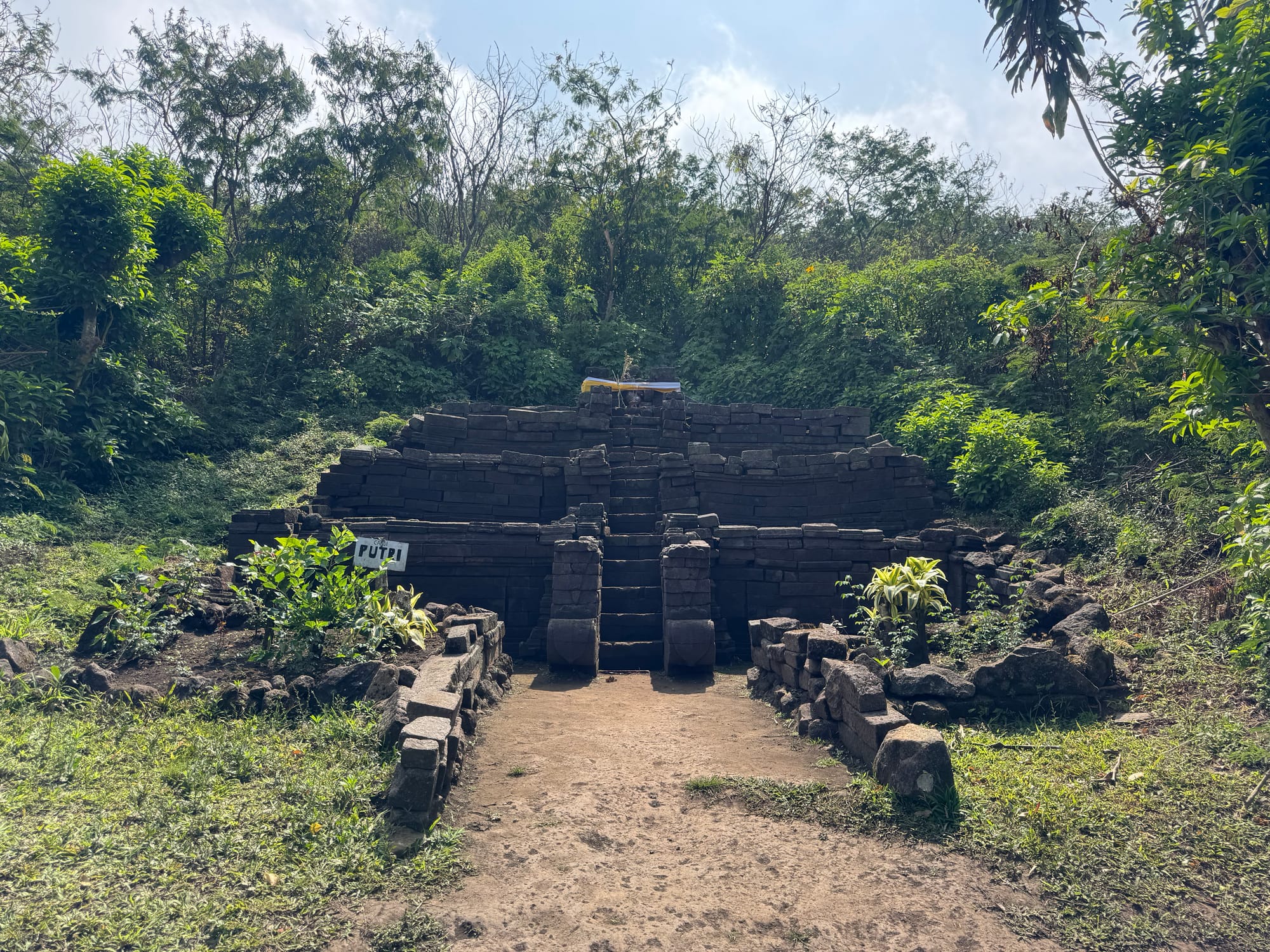
There is a side trail to Gunung Bekel, a sub peak with some more temples and good views of the main summit. This was worth the detour.
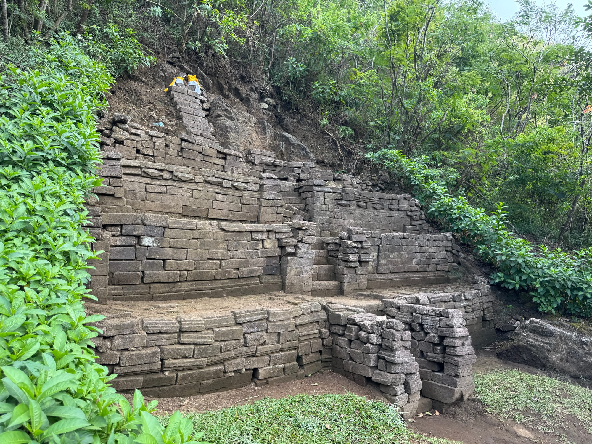
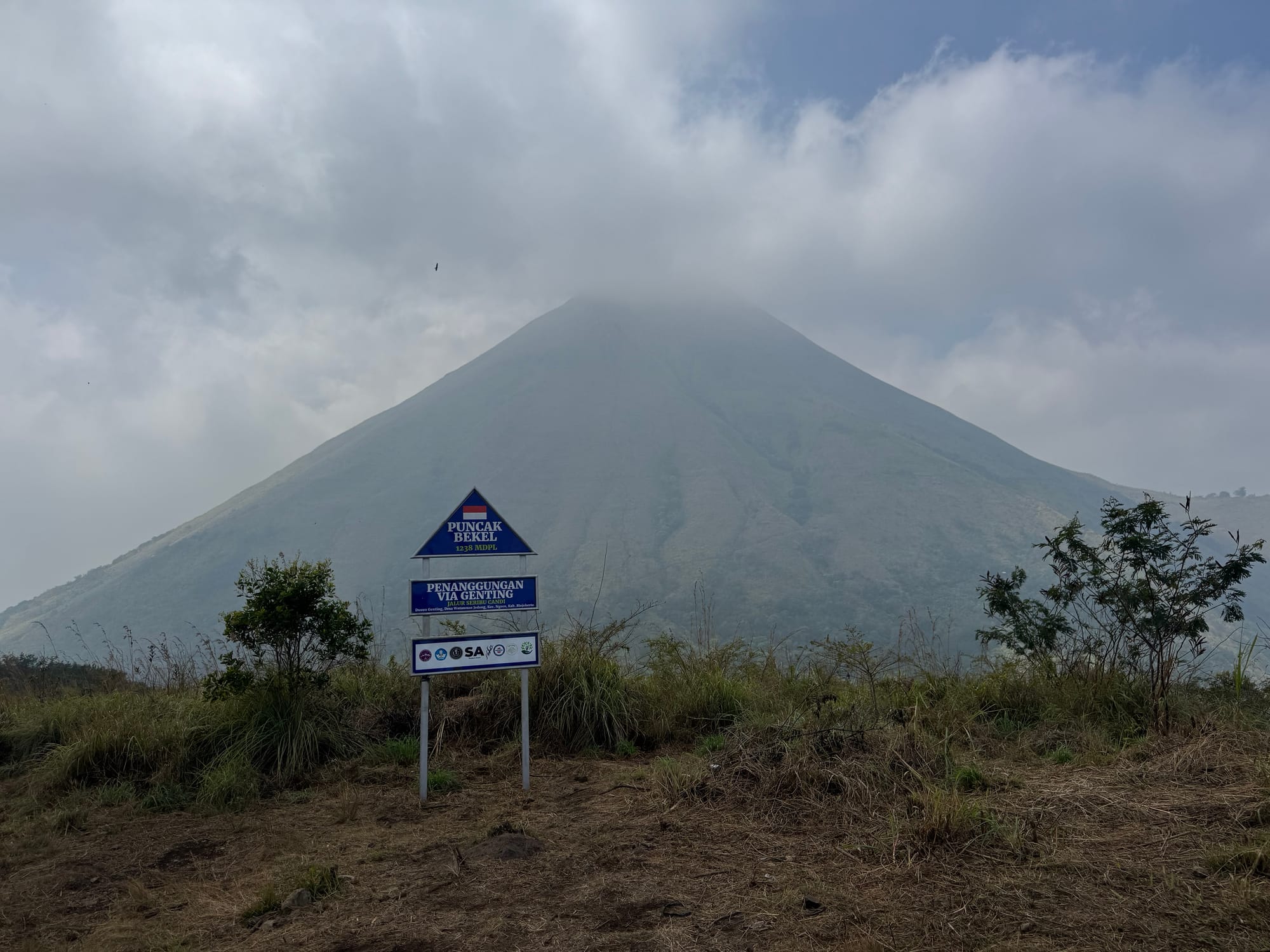
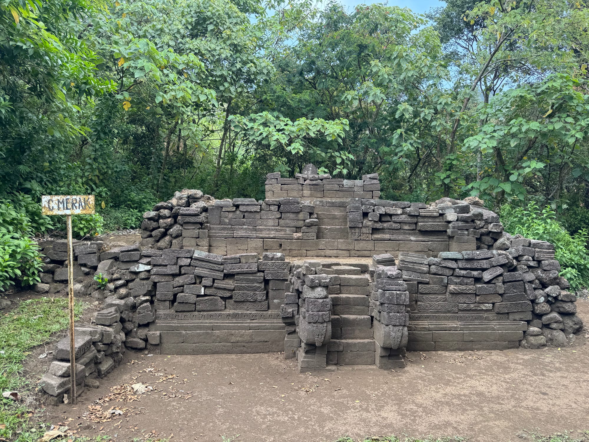
I took another detour down the northern route towards the Genting trailhead. The temples here were my favourite parts of this hike: some were hidden in the forest and others had views of the volcano behind them. I took a long break at Candi Merak and read my book. I turned around at 900m and returned to the main trail.
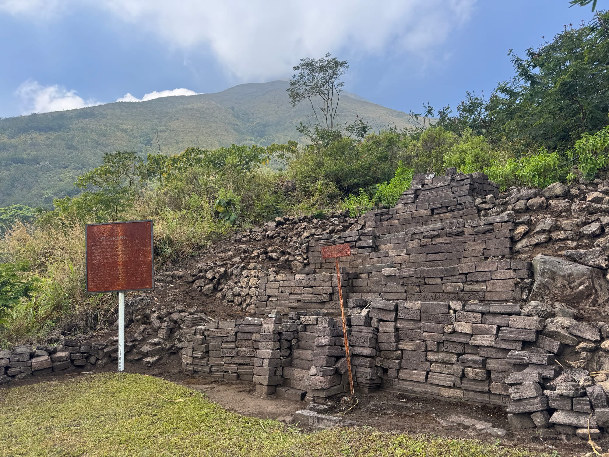
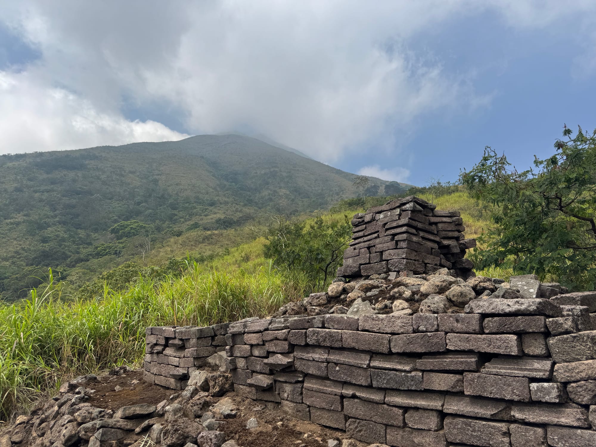
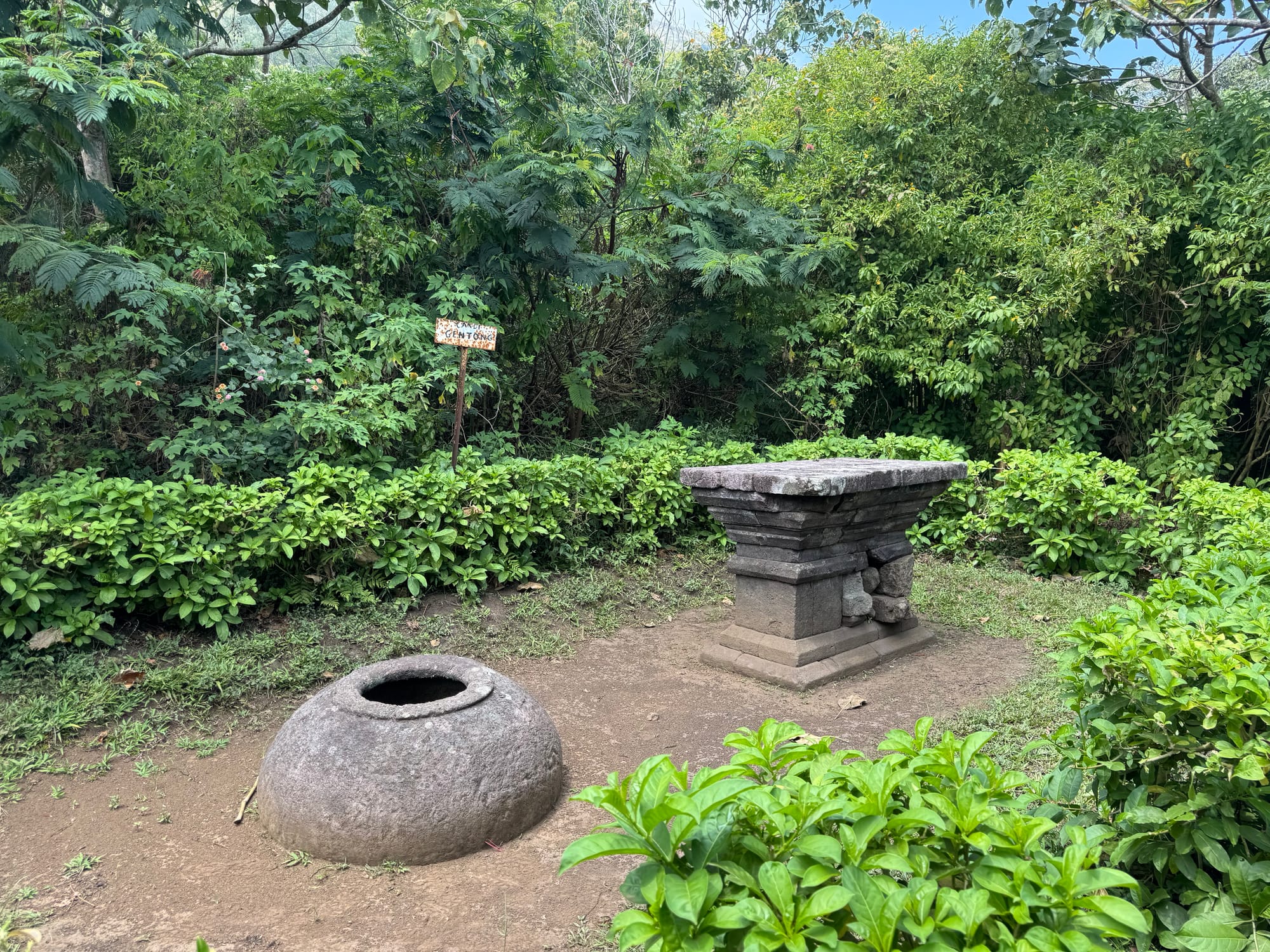
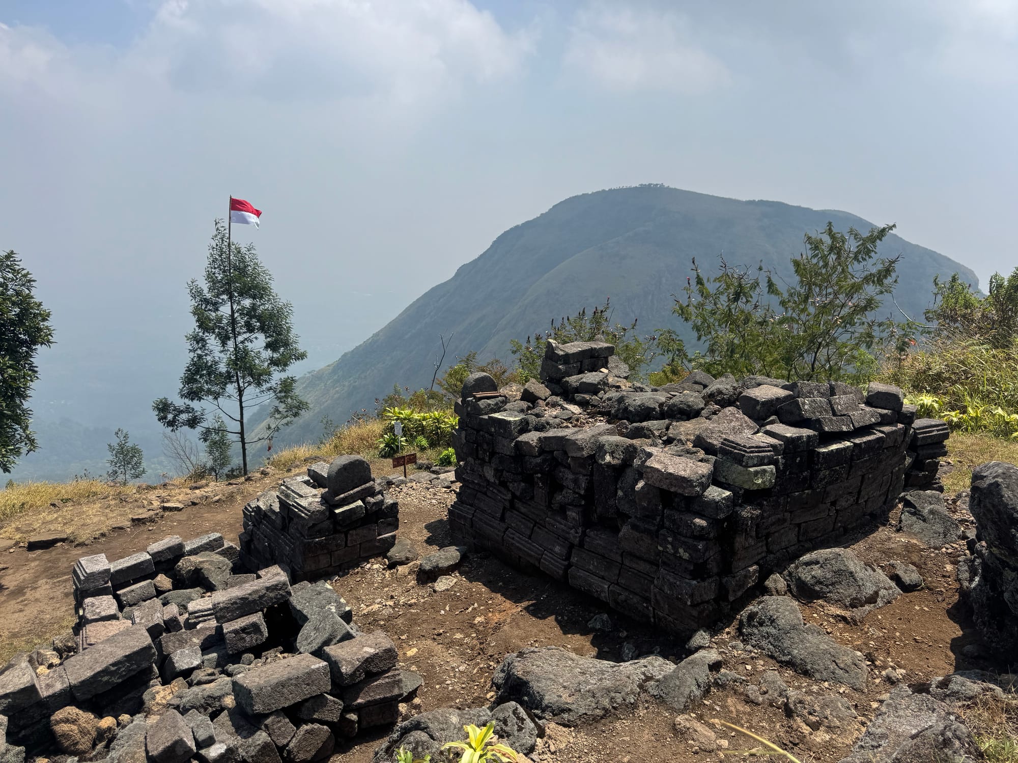
There are several marked routes to the top from the Penanggungan - Bekel col. I was worried that the main route might be dusty, so I took an alternate route to the south. This route was dusty in spots and had some sections that could be considered class 2 scrambling. There were even more temples here!
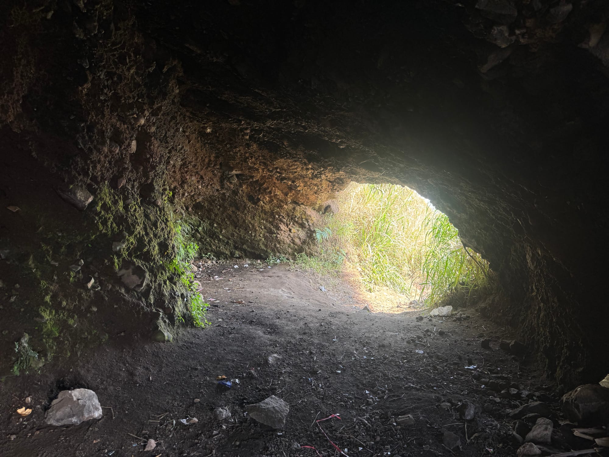
There was also a cave.
The upper part of this mountain is completely bare, offering views across the valley to Arjuno-Welirang. I thought Arjuno was erupting but then I realized it was just the wildfire that closed the park.
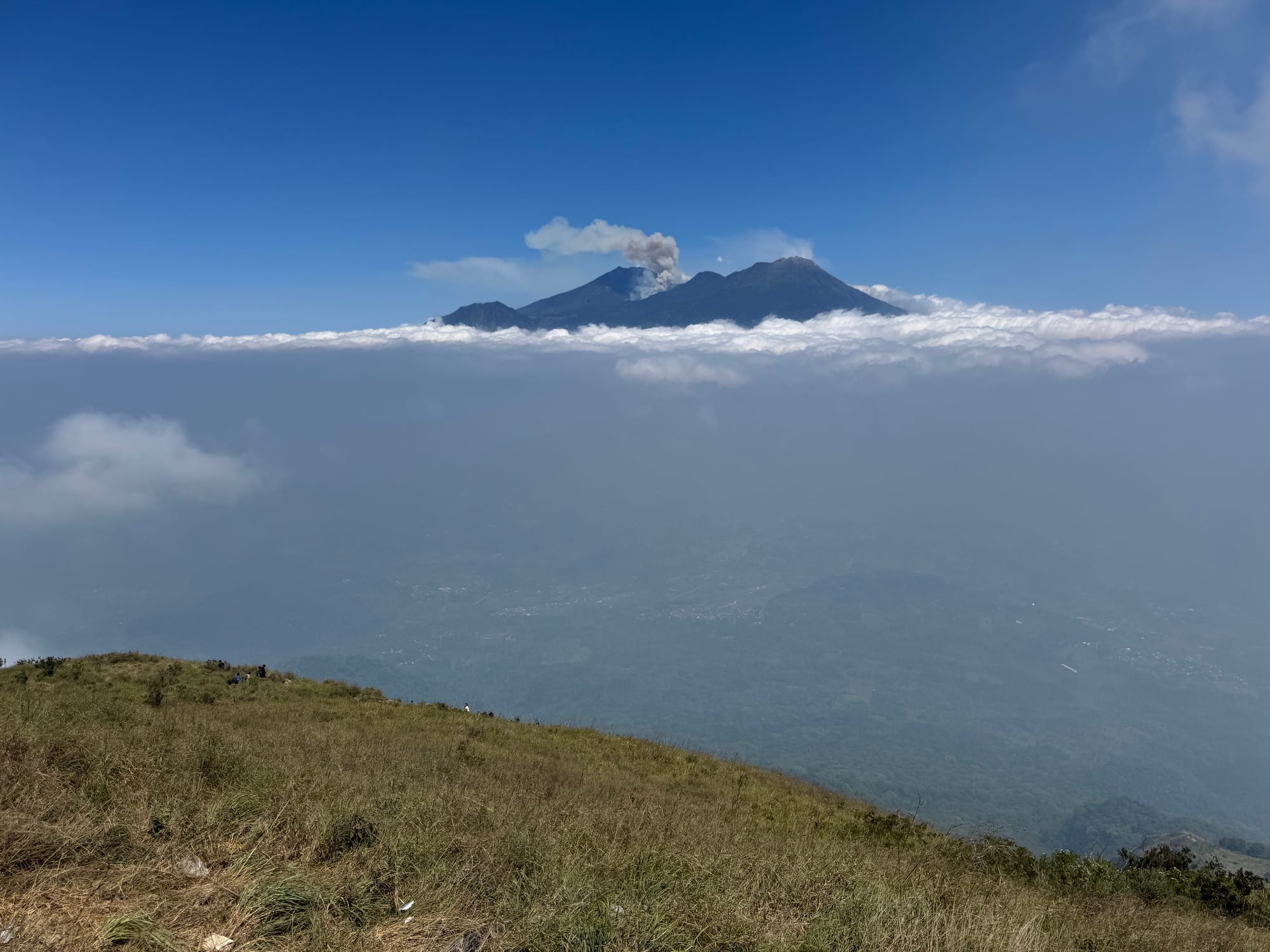
There were lots of people on the summit but it's a big place and I found somewhere quieter to admire the views. In addition to Arjuno-Welirang, I could see Bromo and Semeru (the highest mountain in Java) to the east, and several other peaks.
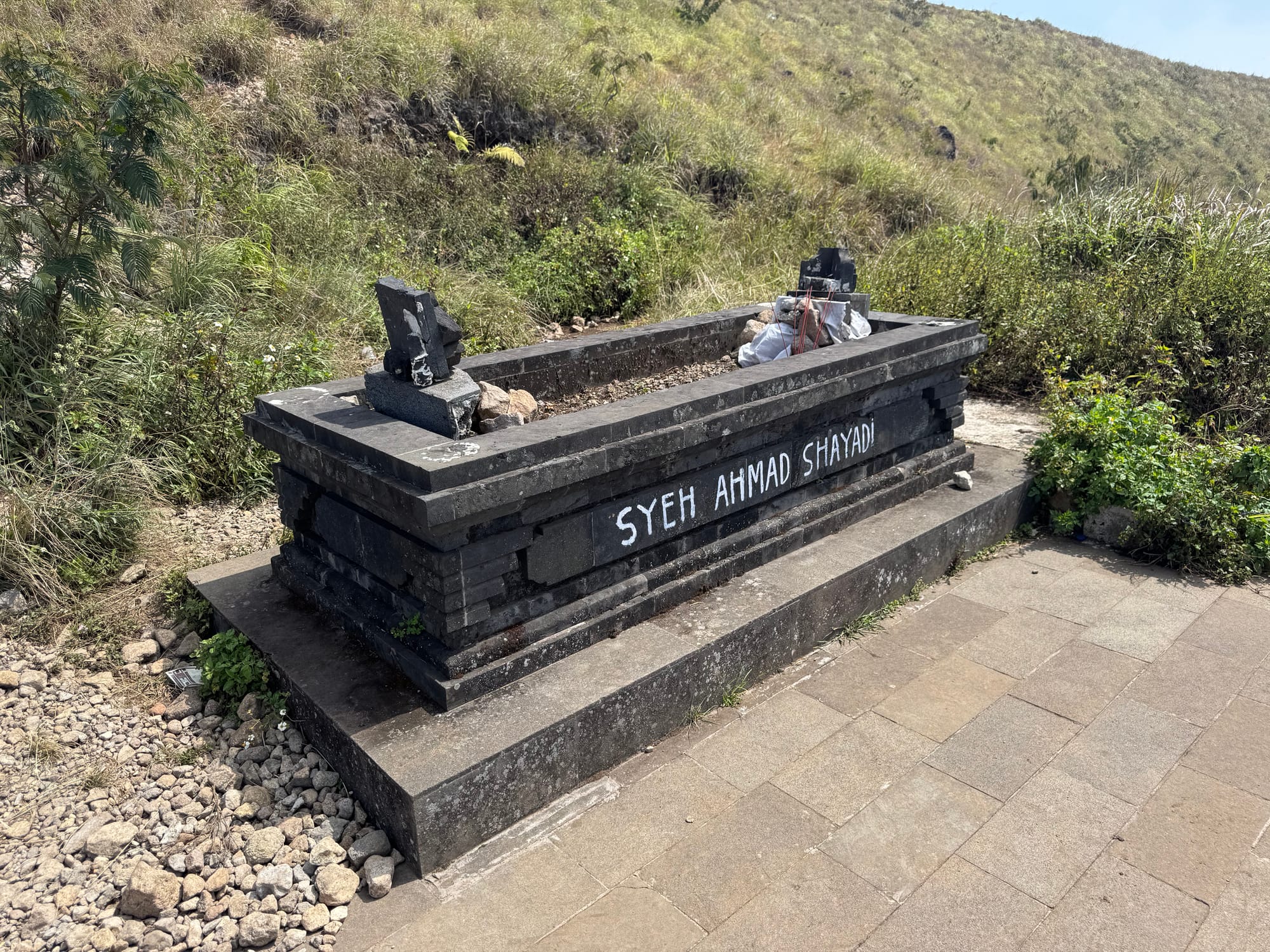
I took a lap around what's left of the crater. There is a tomb halfway down from the summit.
I went down the most direct route to Tamiajeng. As expected, the upper part of it was quite dusty and slippery, similar to Merbabu. Once below the trees it got much better. There were way more people on this route. Past Pos. 2 the route followed farm roads with motorcycles zipping by. At one point I accidentally took a wrong turn, but the road still took me to the village, emerging near the village cemetery. I caught a taxi from there and went back to Malang for the next adventure.
Member discussion