Zoa Peak
Date: December 8, 2024
Distance: 9.58km
Elevation gain: 693m
GPS
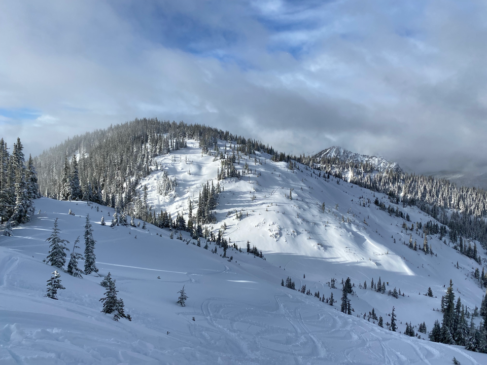
Zoa Peak is a mountain in the Coquihalla Summit area. It’s a popular ski touring destination, offering relatively low-angle slopes on the ascent and some good runs in the north-facing bowl between the true (west) and false (east) summits. It’s also a snowshoeing objective, although snowshoers from Vancouver can find better views closer to the city.
Like most of the peaks in the area, Zoa Peak was named after an obscure hoofed mammal by P. Kubik in 1976. A zoa is "a female progeny of a cattle bull and a nak (a female Yak)" (BC Geographical Names)
This adventure was an introductory backcountry skiing trip organized by Aino from the Varsity Outdoor Club (VOC). There were about 15 people. After a few delays, we all made it to the parking lot at the Falls Lake exit off the Coquihalla Highway.
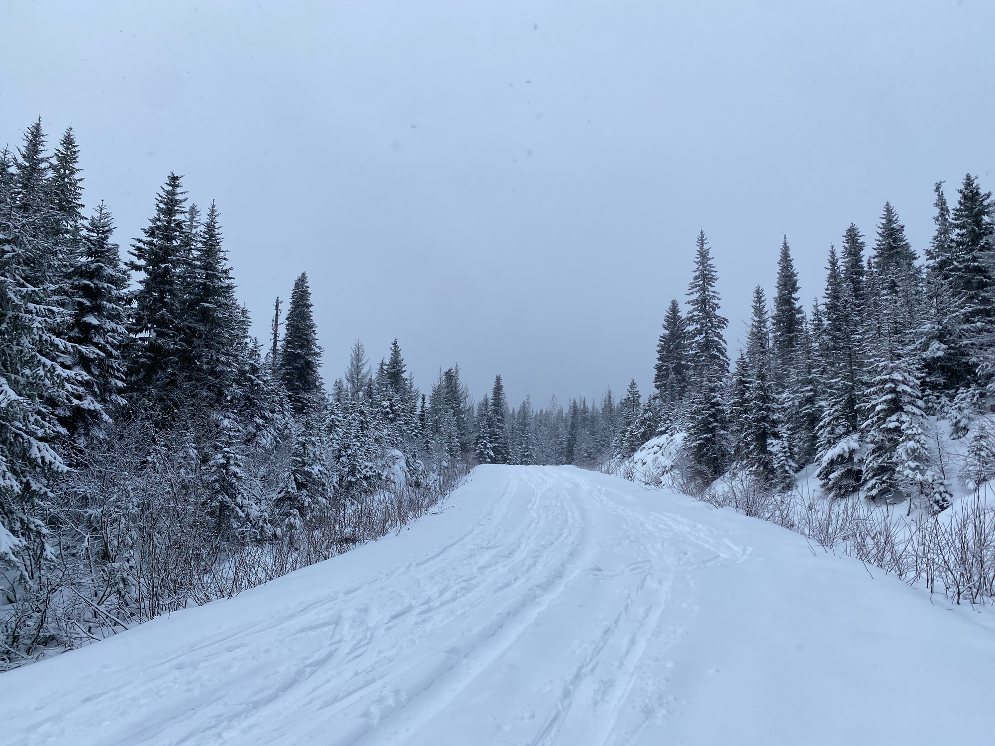
The first couple kilometres are along an unplowed logging road gently ascending uphill. Some intrepid cars were parked about 200 metres up the road, but most people will want to park where Falls Lake Road leaves the highway on-ramp.
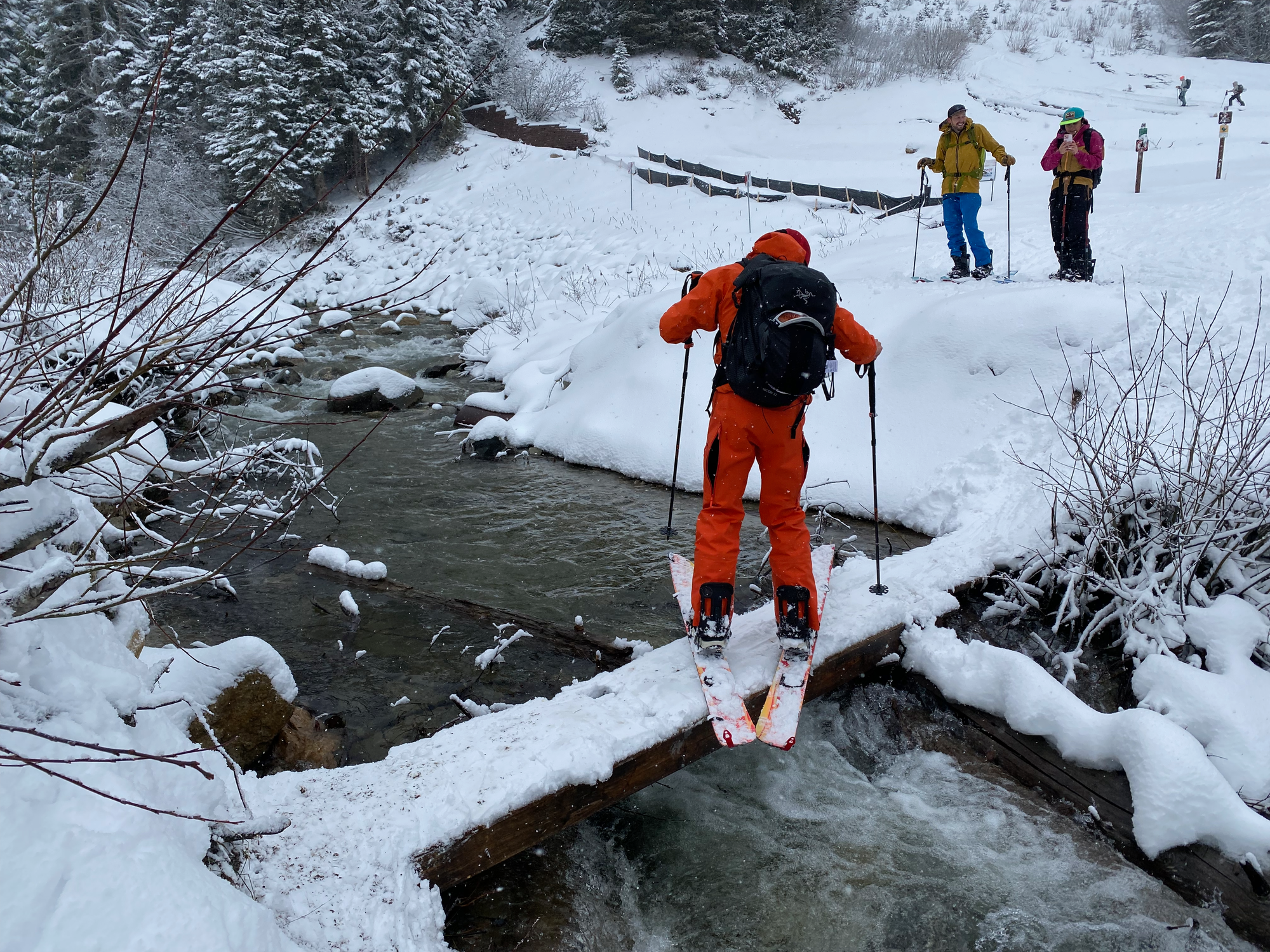
The route crossed a creek. This involved walking along a very narrow and precarious plank placed over the water, which we nicknamed the “Bridge of Doom”. Some people made it across in skis but most had to bootpack.
Across the bridge, the route followed a clearcut marking the route of a pipeline. This was one of the steeper parts of the journey, and switchbacking was needed in places. On a clear day, this section has views of the volcanic Coquihalla Mountain to the south.
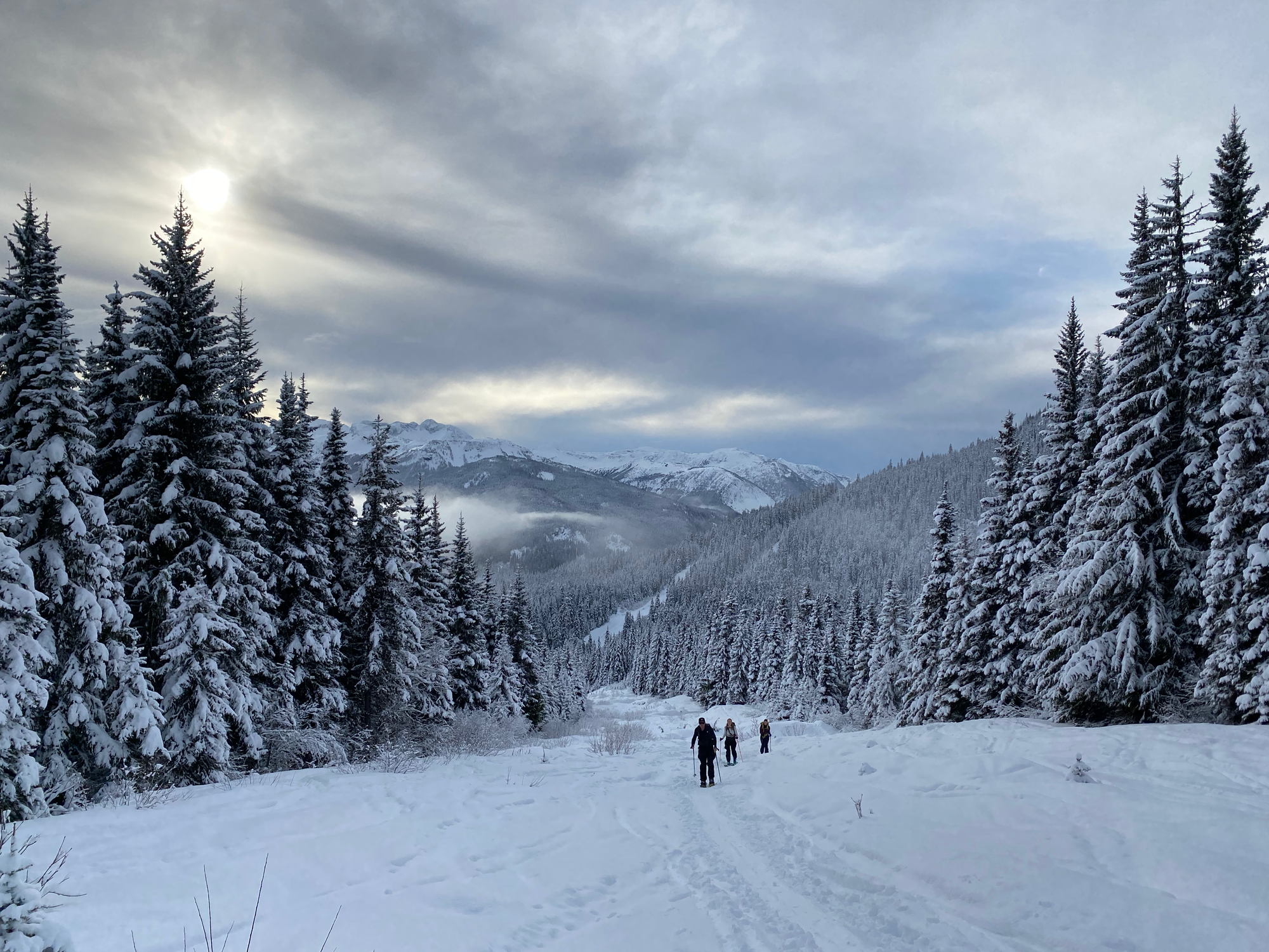
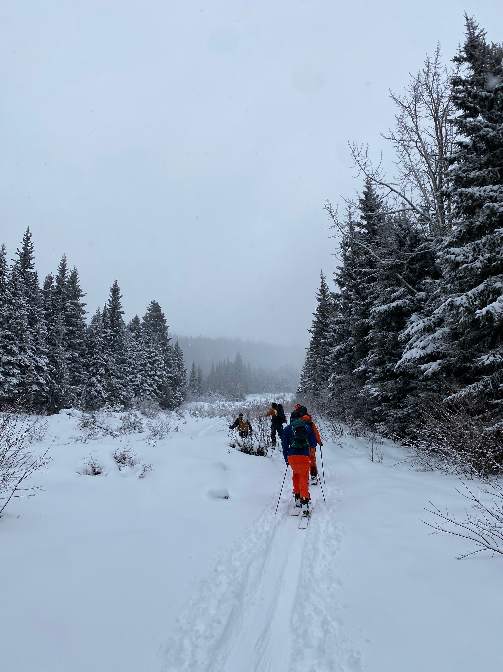
The pipeline passes a turnoff to the summer route, marked with a standard BC Parks signpost. This route is too steep for skinning on skis, so an alternative winter route leaves the pipeline about 300 metres further north, ascending through the forest.
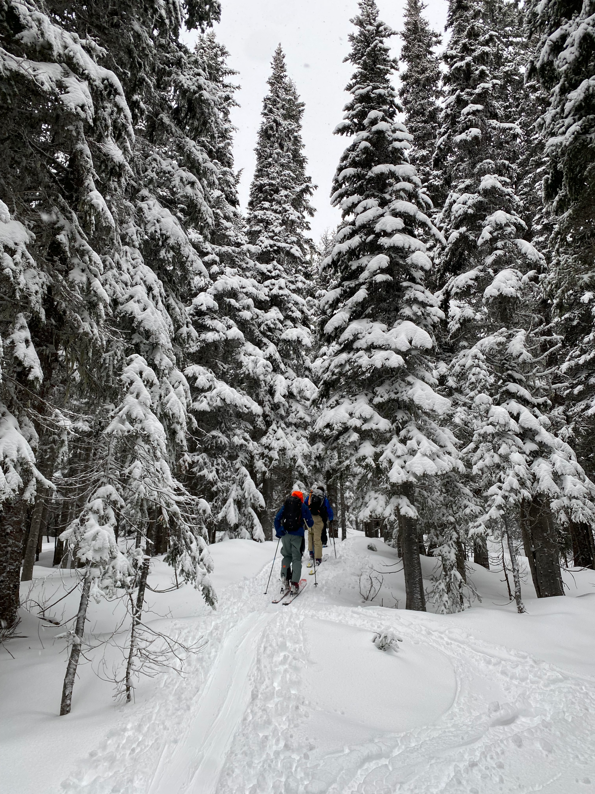
Eventually we reached the ridge and the trees began to thin out. Some views could be seen to the north, east, and south at various times. We regrouped here to have a lunch break. One group brought an entire rotisserie chicken, leading to some comedic moments!
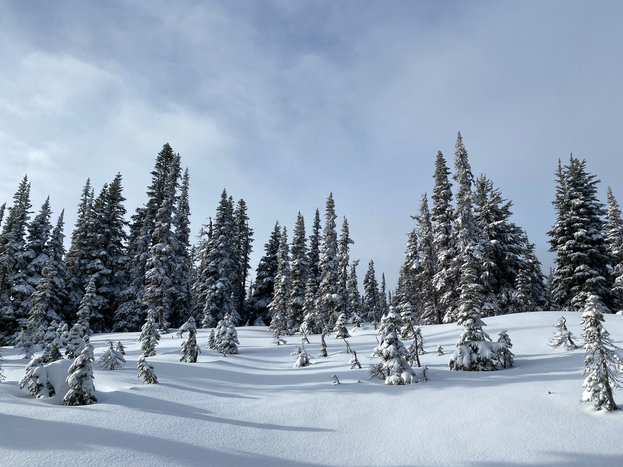
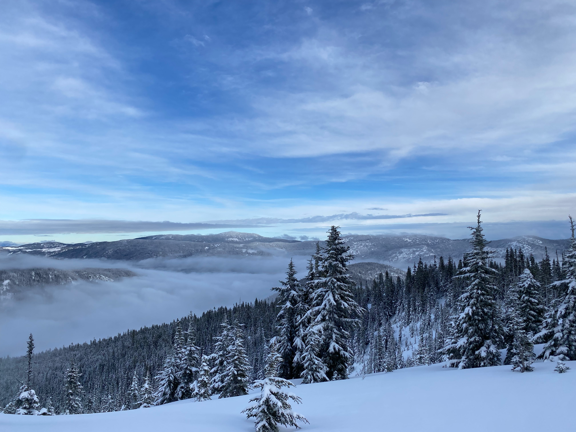
In a few minutes we were on top of the east summit. The main skiing area on this mountain is the bowl between the east and the west summits. The west summit is the highpoint. Most of us decided to go there first, so we skied to the col between the two summits, which offered a good vantage point of the sheer north side of Yak and Nak peaks.
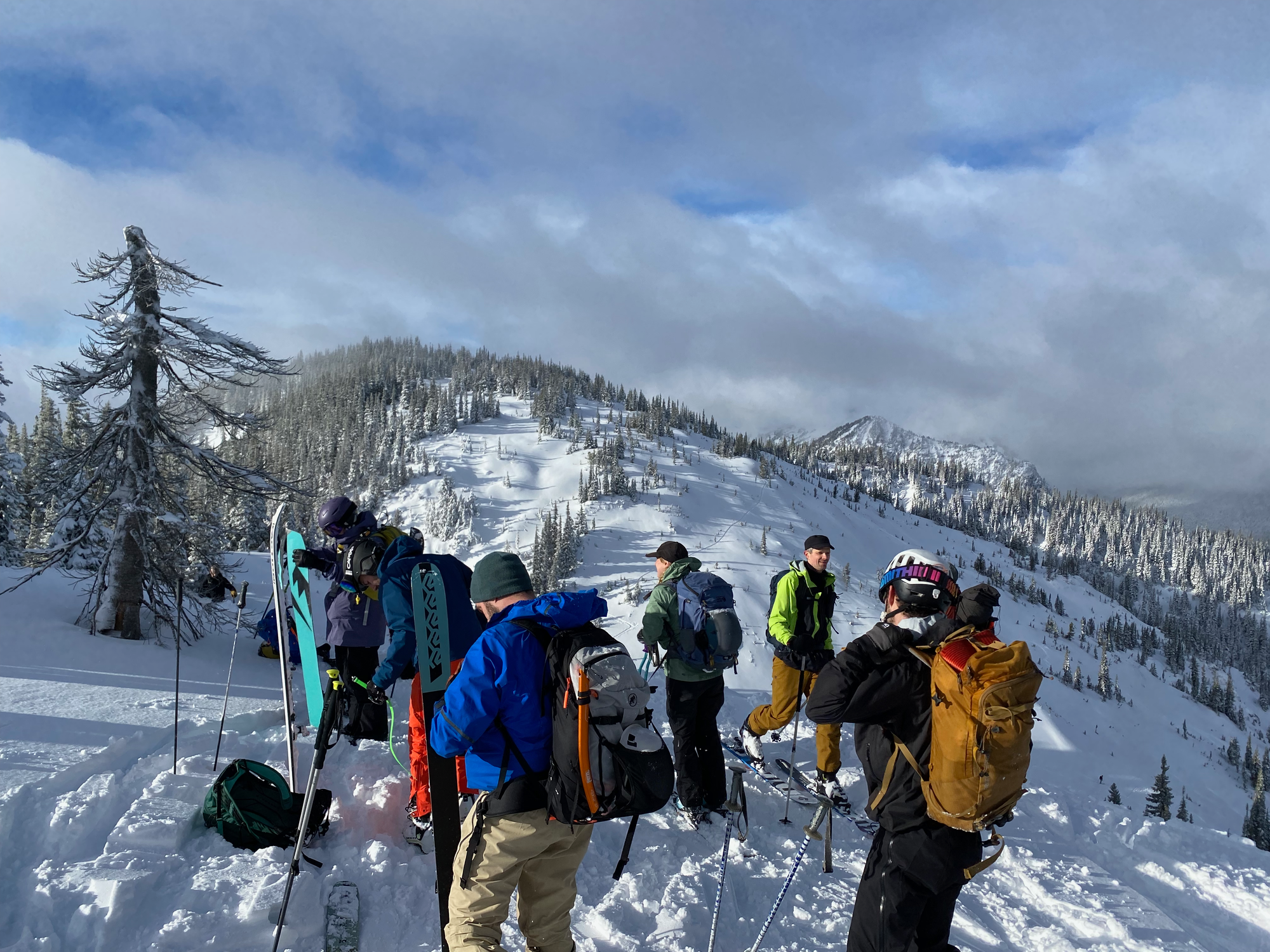
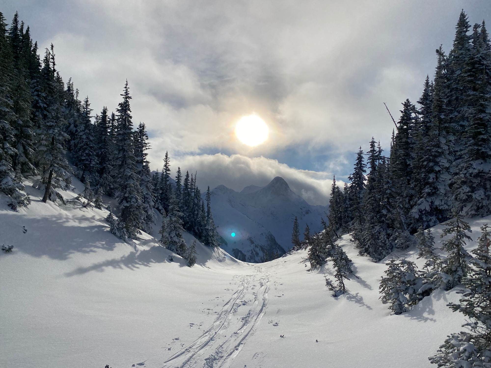
Someone had set a steep skin track to the west summit, so we struggled along. The highest point is located in a grove of trees in the middle of a relatively flat area. it offers no views and only a few of us went there. After visiting the high point, we dropped into the bowl, skiing it to its end, where the valley becomes a steep gully.
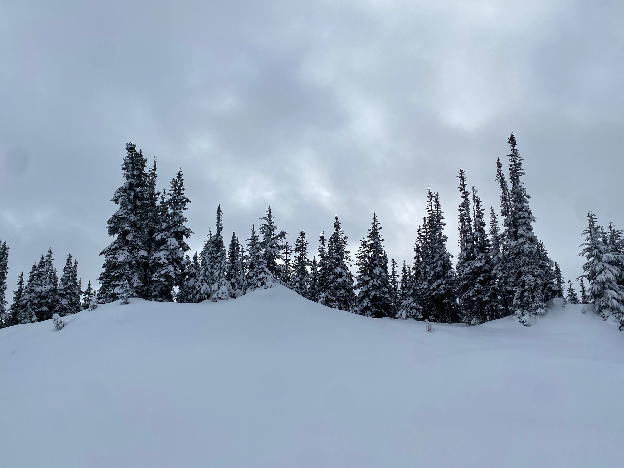
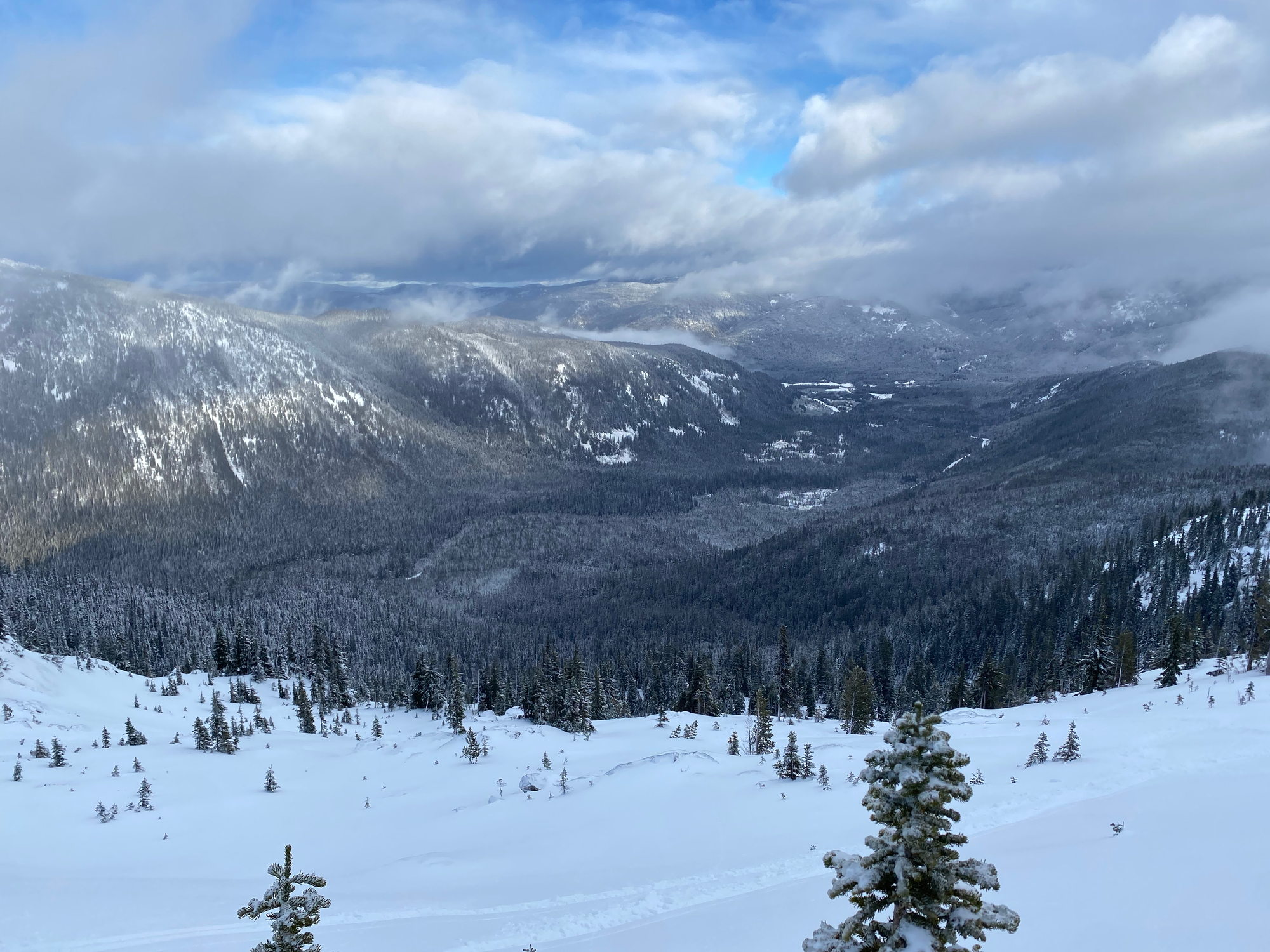
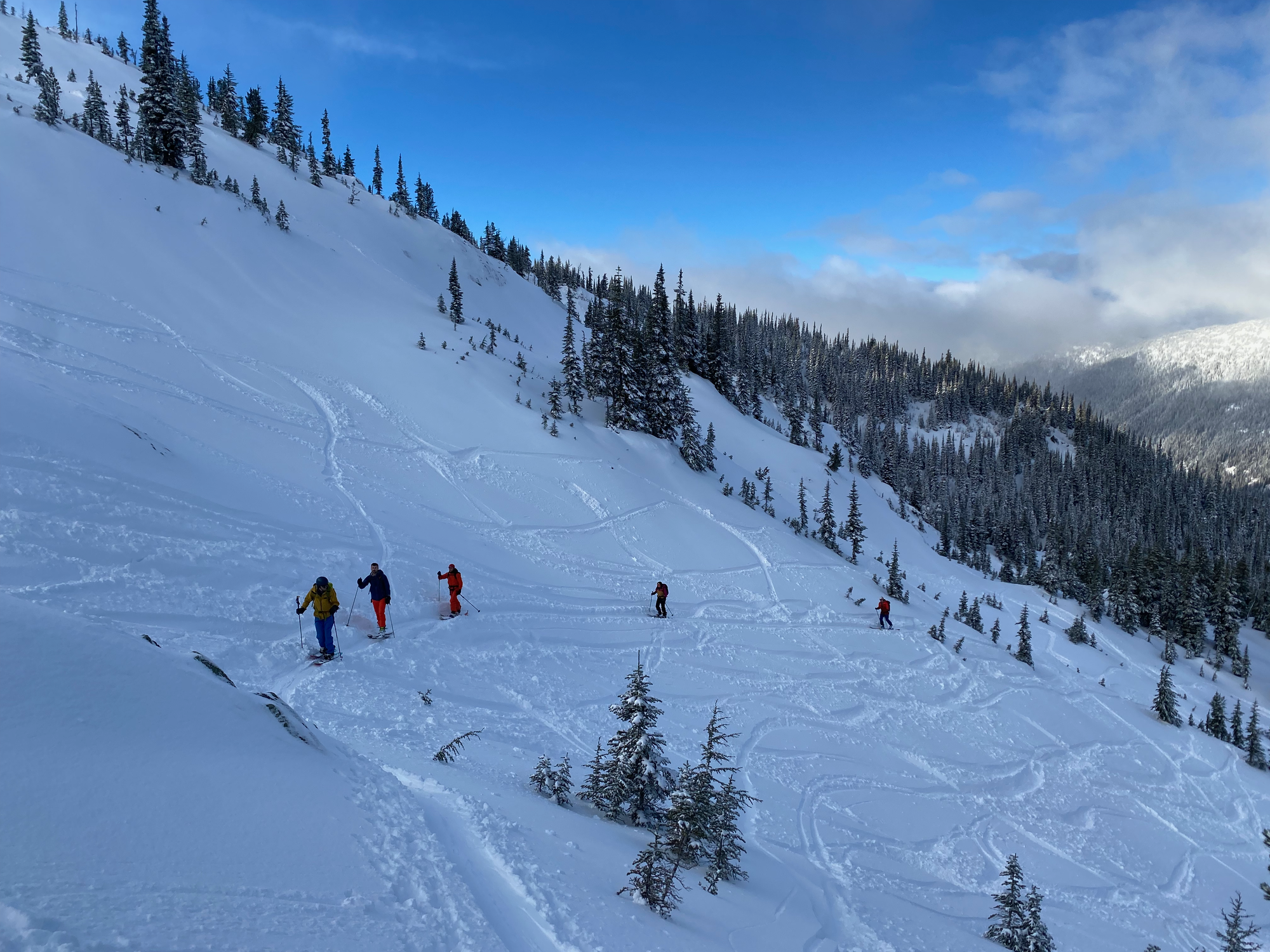
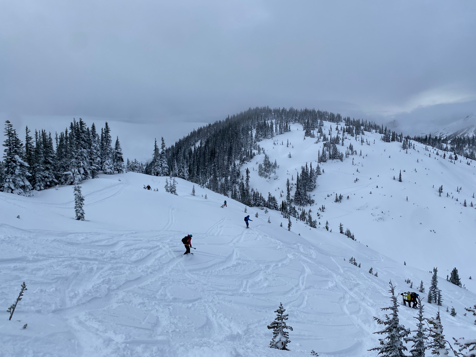
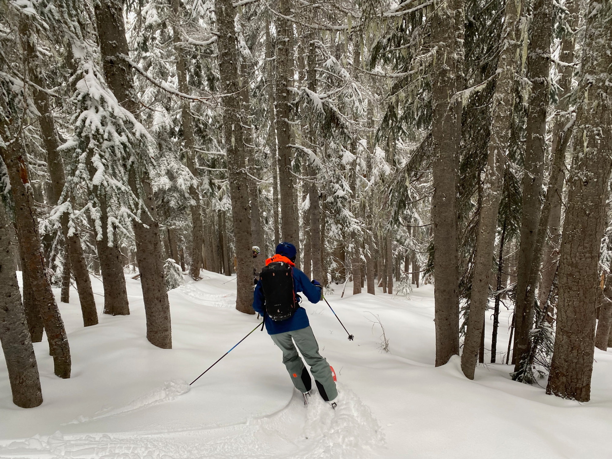
After a couple more laps of the bowl, it was time to return to the car. The ridge had lots of fun lines and the powder was deep enough in the forest to be enjoyable. Snow coverage was a bit patchier on the pipeline area, but it was still fun with lots of jumps. Disappointingly, no one jumped across the creek, instead opting to walk across the bridge of doom again. After an annoying flat section, we made it to the cars.
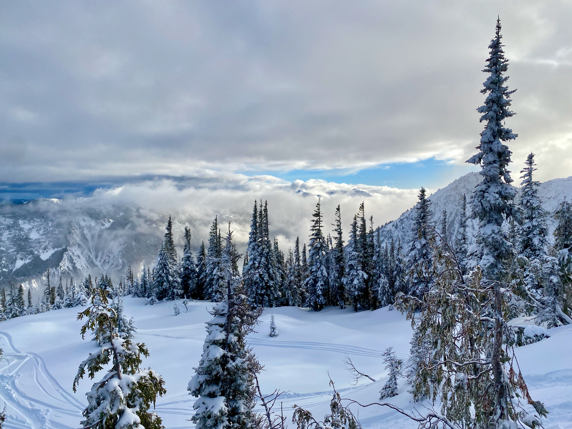
This was a great way to start my first ski touring season, especially so early in the winter, and I’d highly recommend it as an introduction to ski touring!


Member discussion