Vantage Peak
Date: January 6, 2025
Distance: 16.60km
Elevation gain: 964m
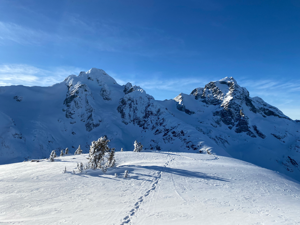
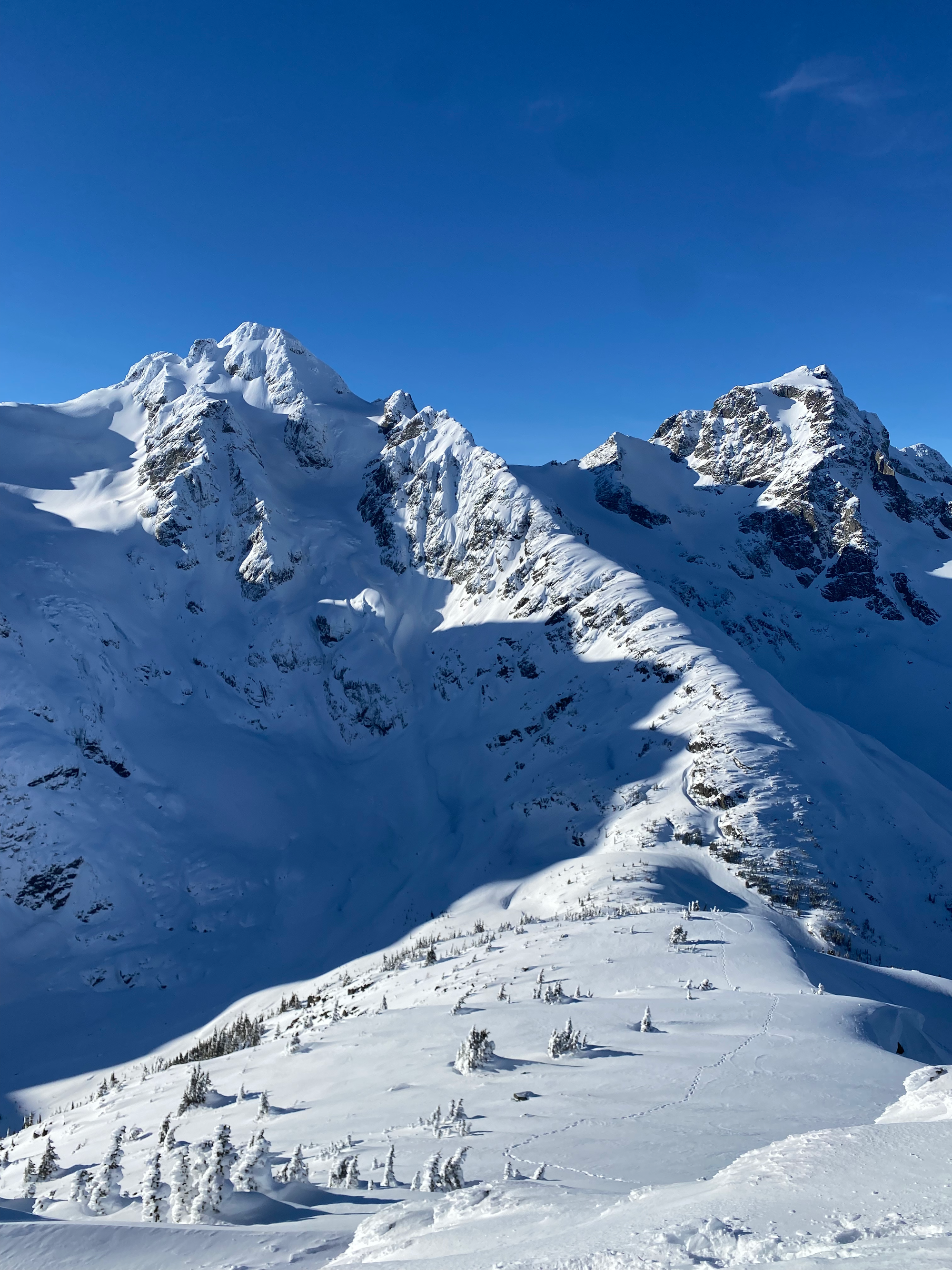
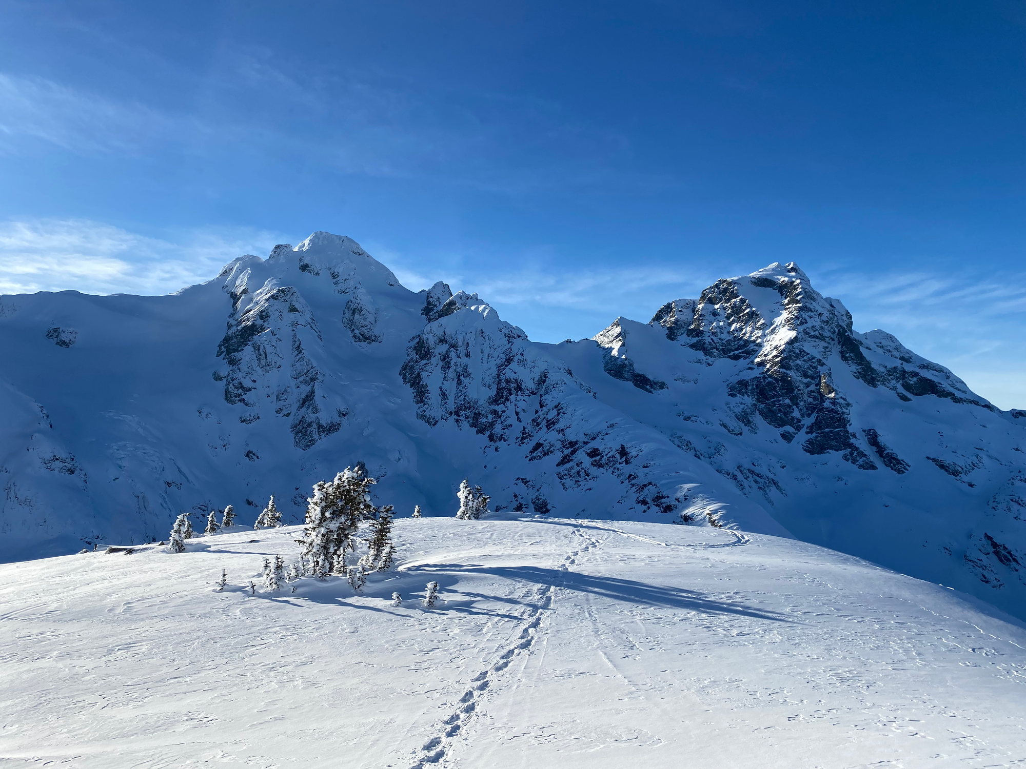
This peak lies in the shadow of the Joffre Group, offering stupendous views across the valley to the looming giants of Joffre Peak, Mount Matier, and Mount Howard. It’s often done as a two-day skiing, snowshoeing, or hiking trip combined with a visit to the nearby Keith’s Hut, but I did it as a day trip on snowshoes. It’s in the Scrambles book, but it’s non-technical except for the last vertical 100m, when the topography and difficulty significantly ramp up; an ice axe and crampons will be needed in most conditions, although I managed without crampons, and there is a cornice that must be avoided. I would recommend watching this drone footage from the SWBC Peakbaggers Facebook group if you are planning to go all the way to the peak. Even if you don’t make it all the way to the top, the views from the ridge are still worth the trip.
The trail starts from the Cerise Creek pullout off the Duffey Lake Road, 7.5km east of the Joffre Lakes parking lot. This fills up quickly on sunny winter weekends, but there were still a few spots when I arrived. It was a cold day, and when leaving the car, I was reminded that -10 in BC feels much colder than -10 out east!
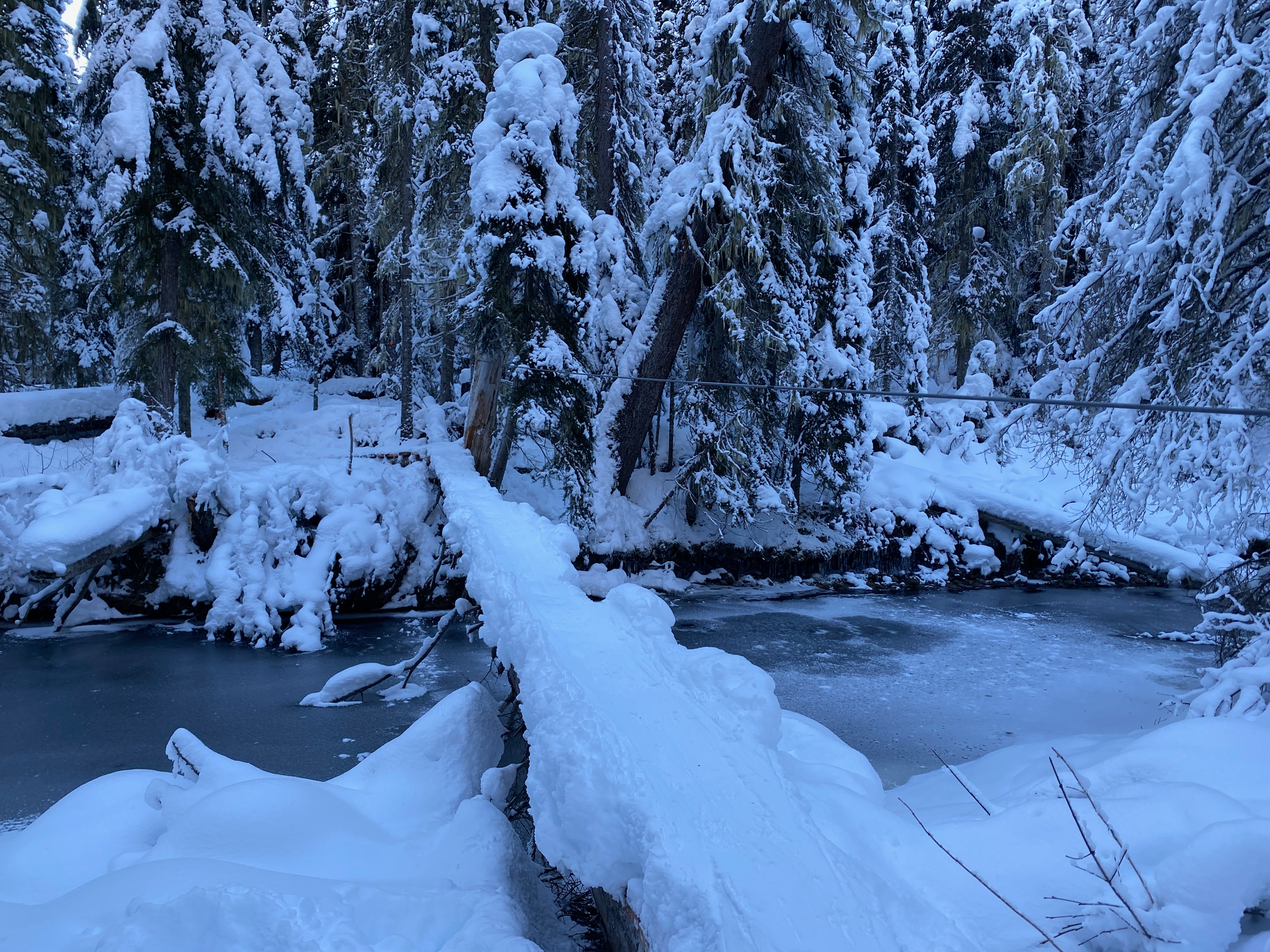
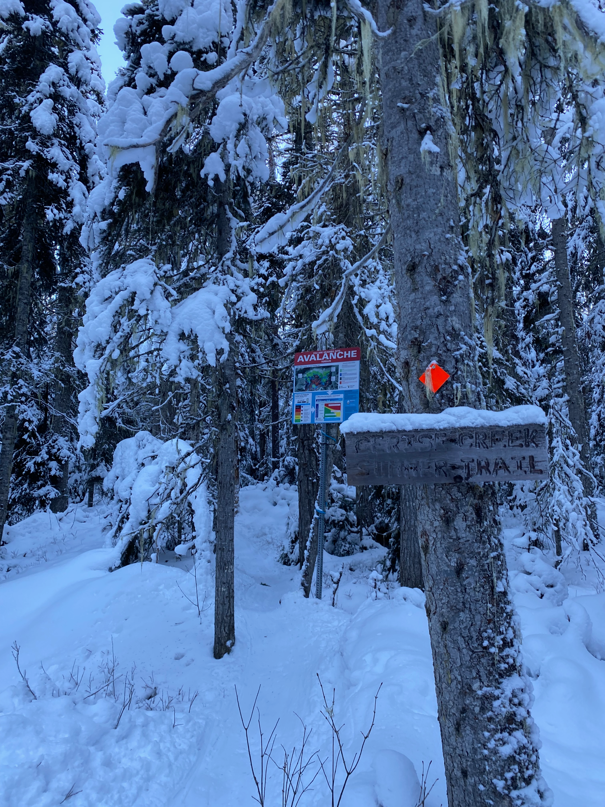
I followed ski and snowshoe tracks down to Cayoosh Creek, and crossed it on a narrow log bridge. From here, the trail used to split into separate summer and winter routes, but two 2019 landslides on Joffre Peak completely reshaped the area, burying Cerise Creek and the winter route. Evidence of this landslide is very visible for the entire hike, showing the power of the geologic forces acting on this landscape. For now, everyone follows the signs for the summer trail, which is marked with orange blazes.
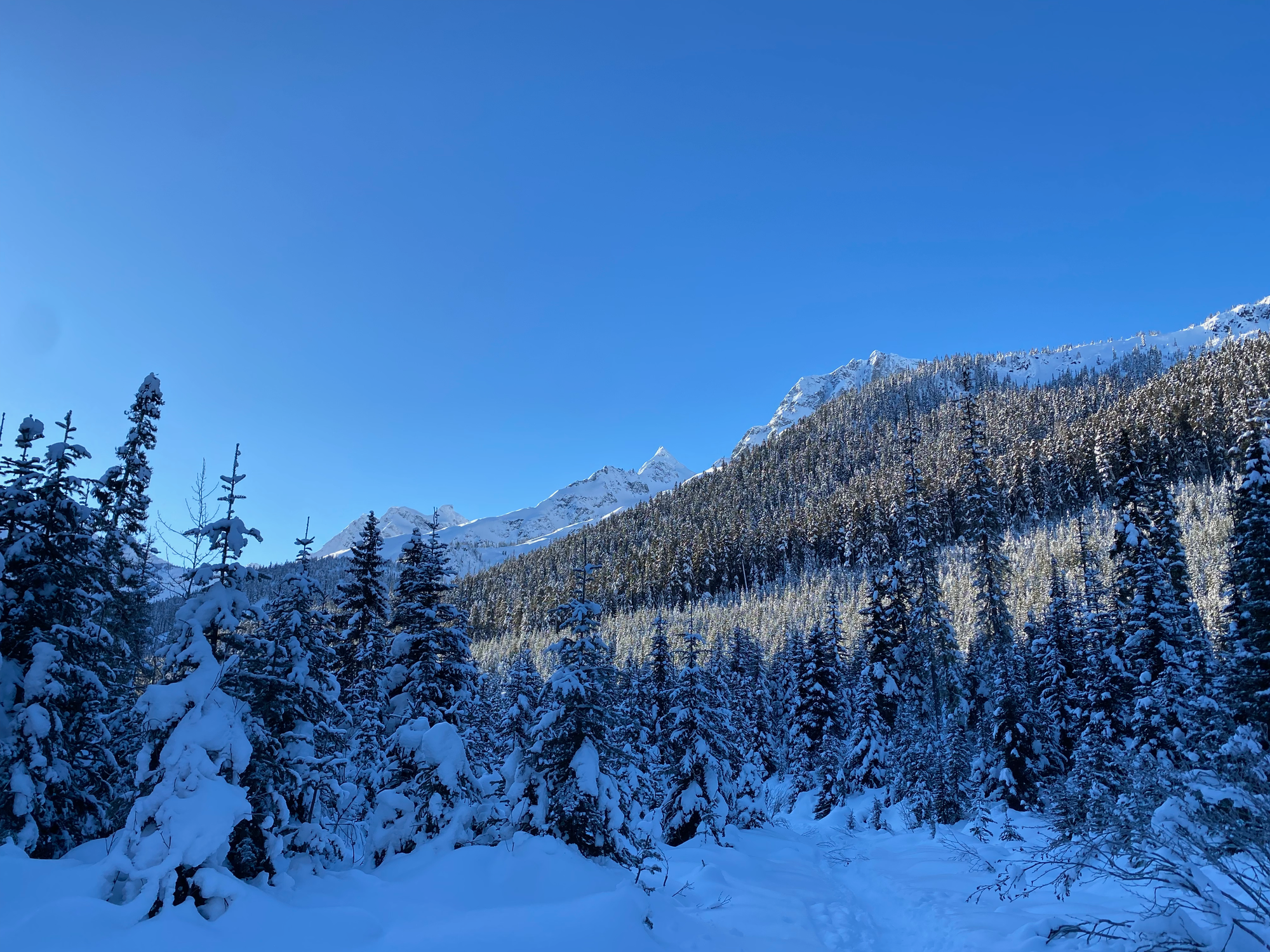
The route heads south along the western side of the creek, weaving between the forest and the landslide debris field. I had lots of ski tracks to follow, and there are some coloured poles in areas, but navigation might be difficult in the open areas after snowfall. Right off the bat, the open spaces have excellent views of Mount Joffre and other peaks. Some tracks led uphill to Keith’s Hut and a camping spot known as “Motel 66”, but I saved elevation by not going there. I followed the creek southwest and south, slowly ascending.
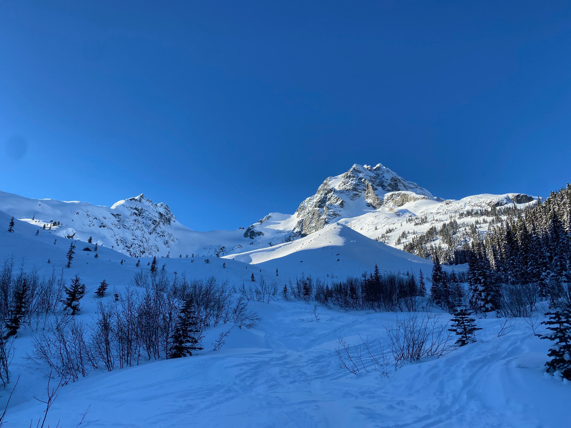
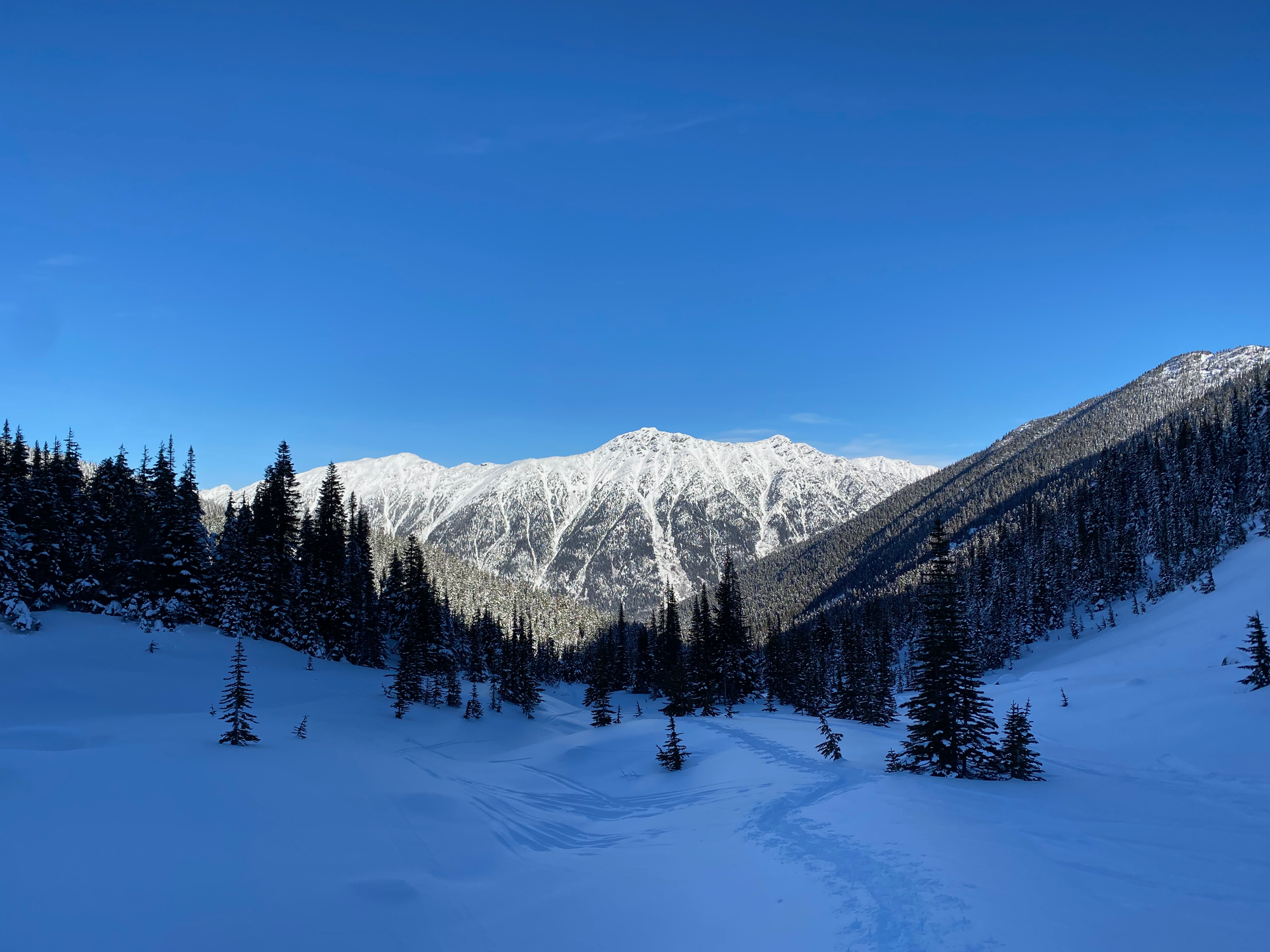
I eventually reached a bowl formed by the western ridge of Vantage Peak. This is a great skiing destination and I regretted not bringing my skis. Instead I switchbacked up an existing ski track on my snowshoes. Eventually I reached the ridge, taking a break to admire the superb views.
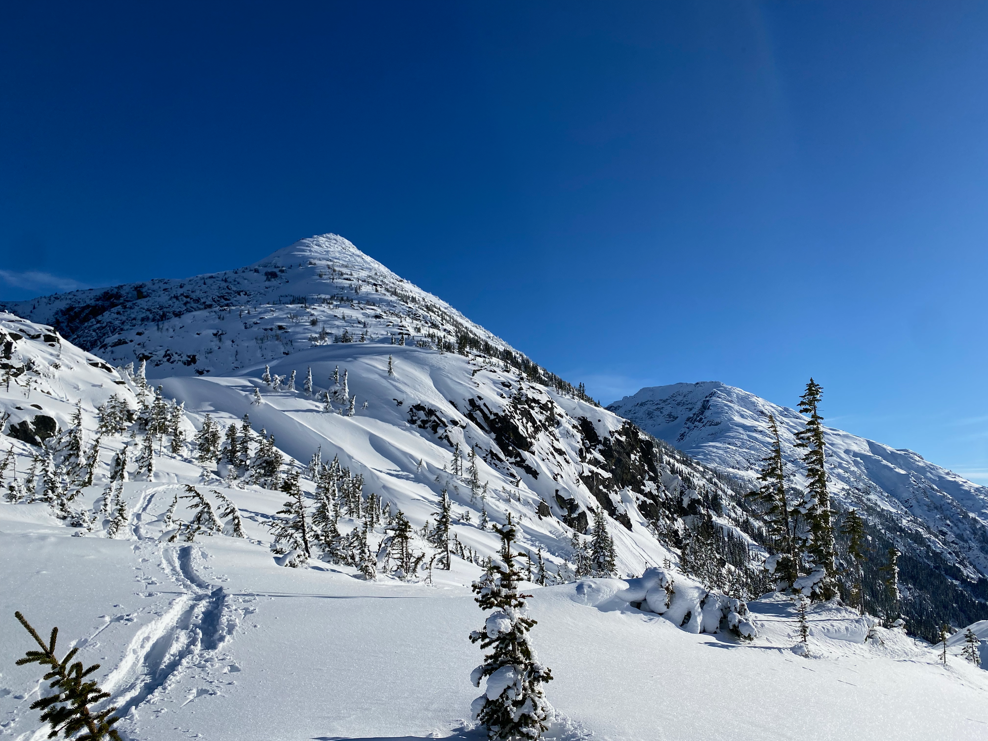
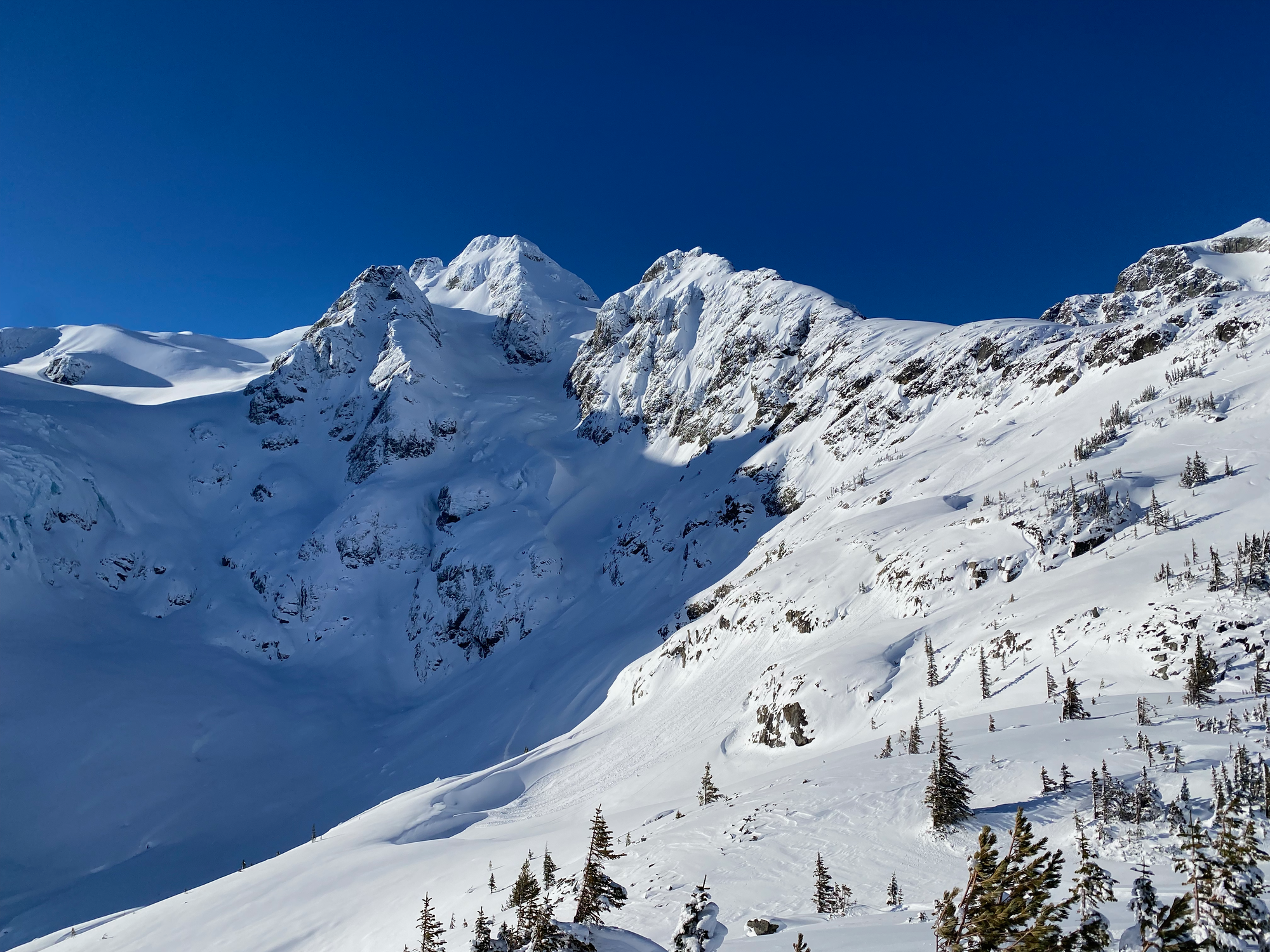
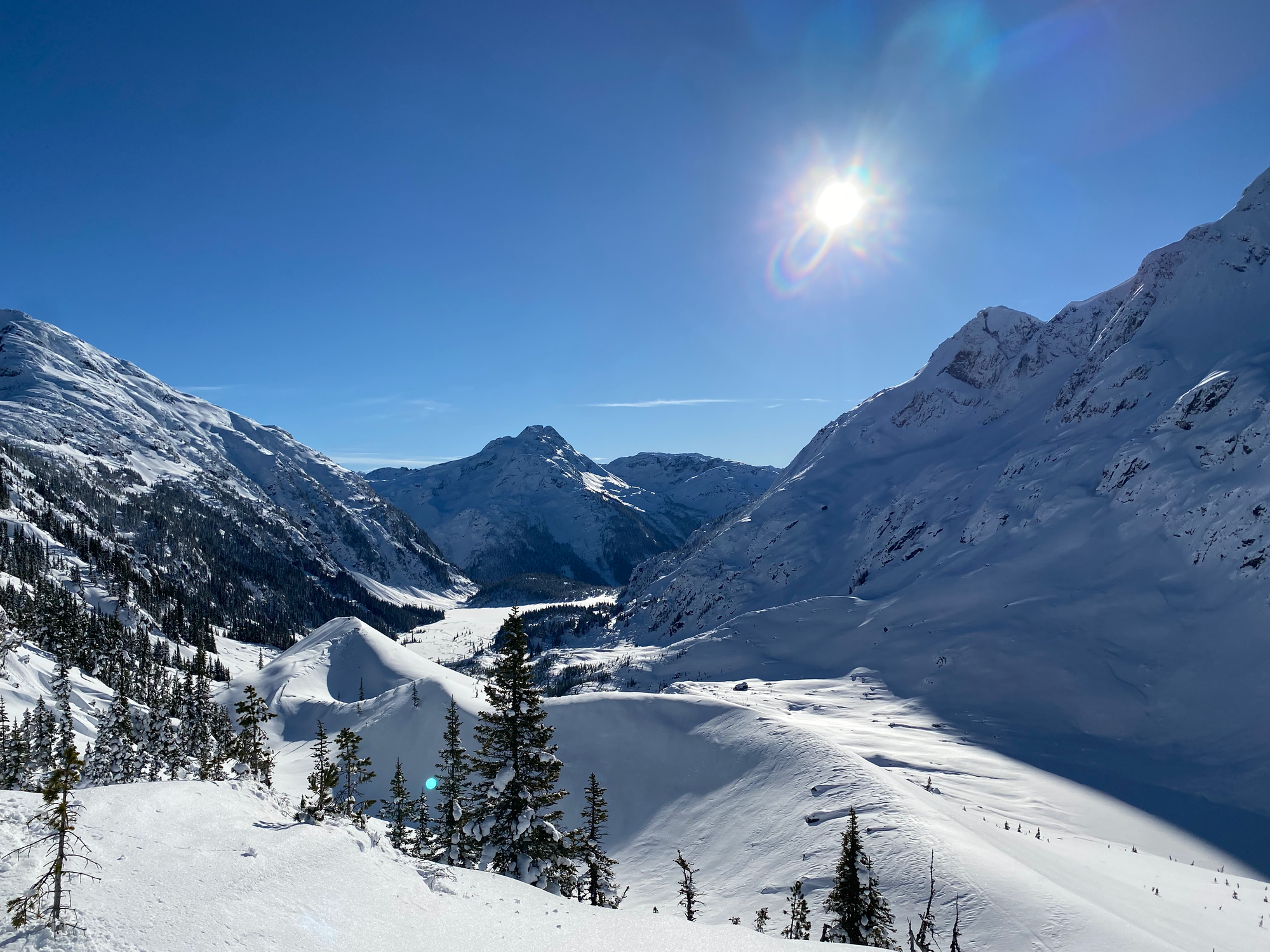
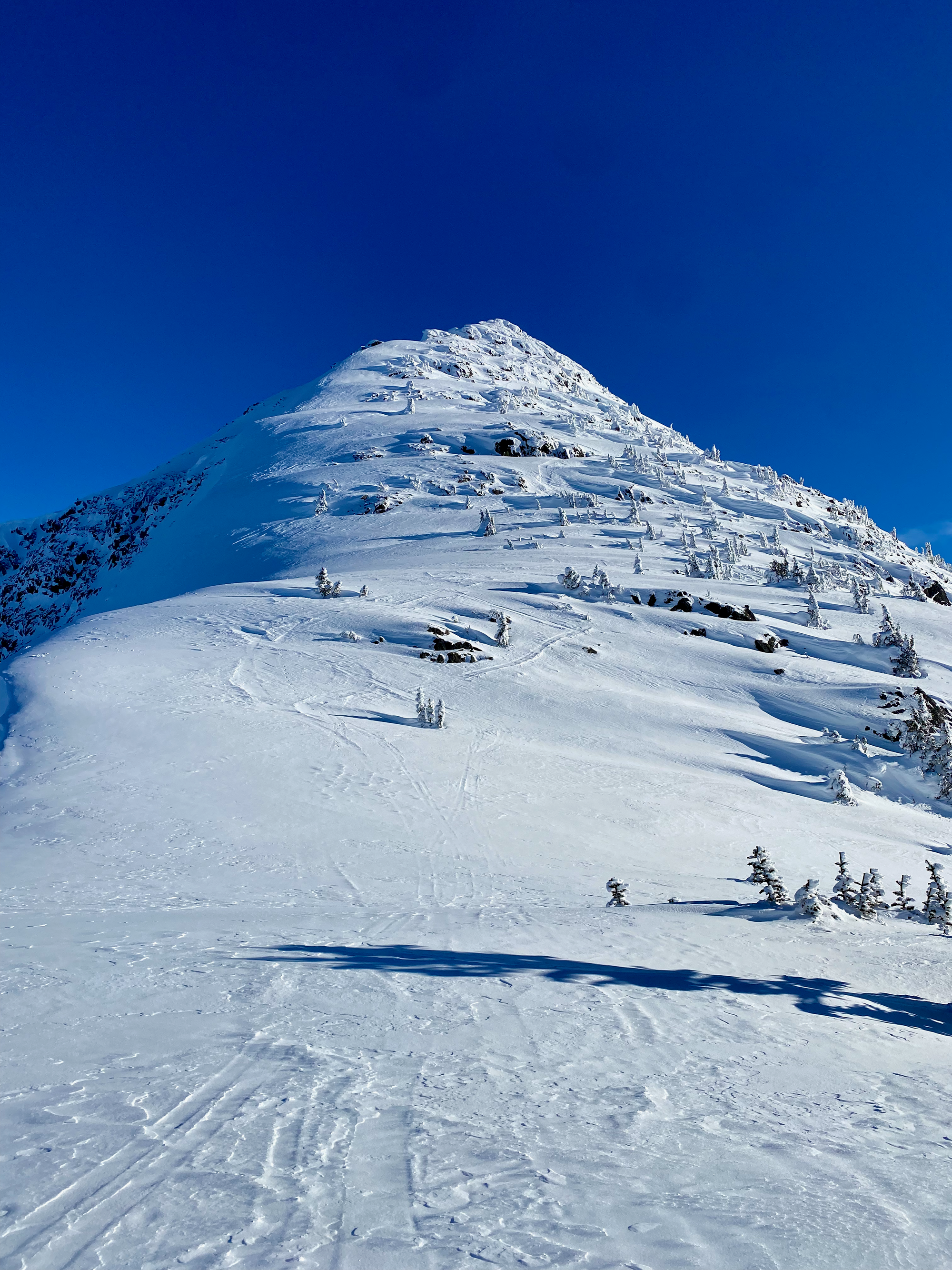
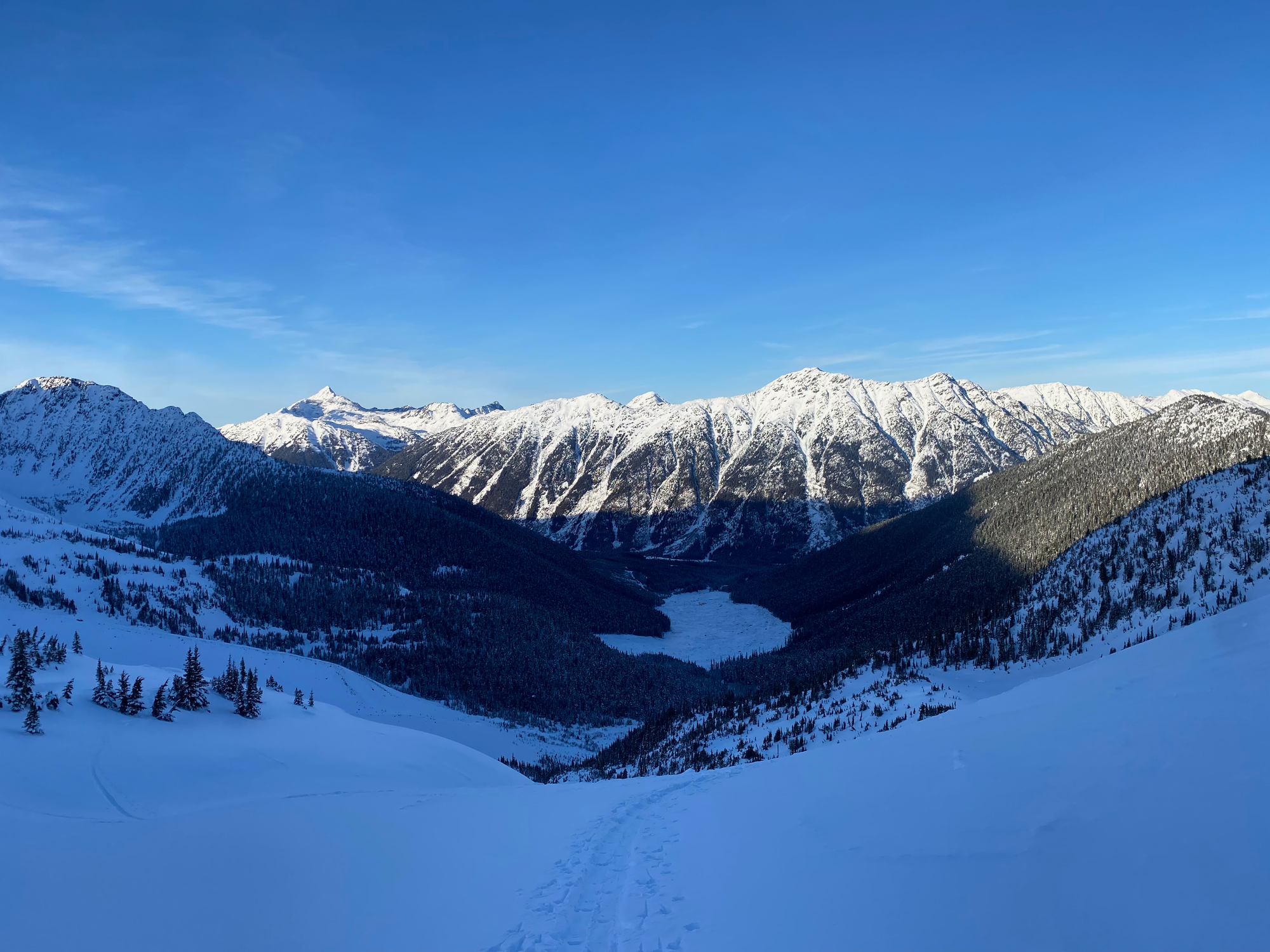
From there, I continued eastward up the ridge. Joffre, Matier, and Howard loomed across the valley and I could see some more remote peaks and lakes to the south and southwest. Most of the ridge involved switchbacking up slopes up to 30 degrees and higher along previously established skin tracks, avoiding a cornice which forms on the north side of the ridge. The views kept getting better and better as I ascended.
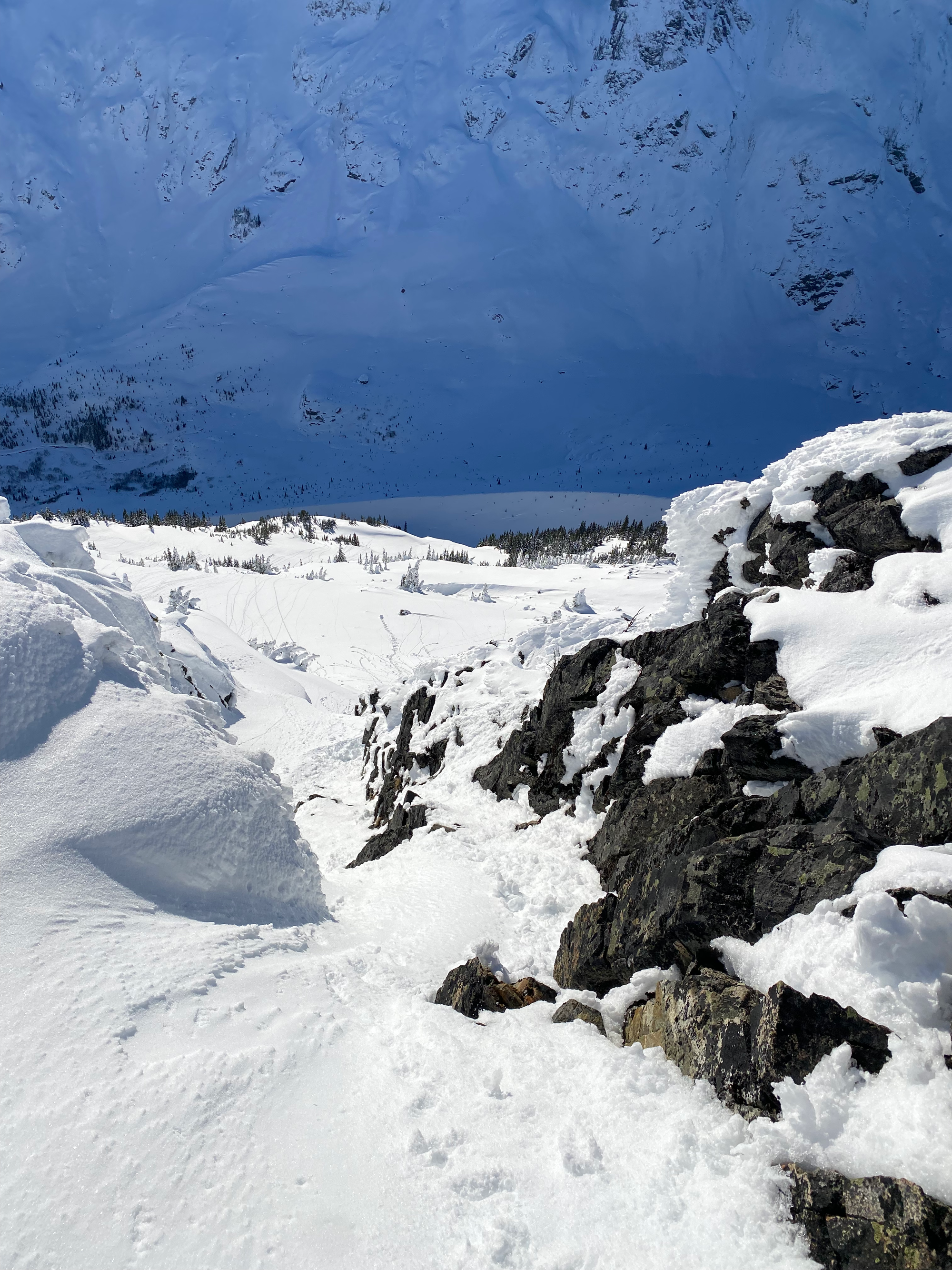
The ski tracks ended at a flat area around 2100m. Most skiers and non-peakbaggers stop here; the final push is a more technical class 2 scramble. Usually, it is icy in winter, and parties use an ice axe and crampons. I arrived early in a relatively dry season: there was a deep layer of powder on top of bare rock. This required a change of tactics.
I was following Steven Song’s GPS, but it seemed to go closer to the cornice than I was comfortable with, so I found a route a couple metres to the south. The powder was not supportive, but I could brush it away to reveal a perfectly fine Class 2-3 rock scramble beneath. After this step, the last few metres to the true summit were more gentle. As expected, the summit had mind-blowing views of the Joffre Group, although the views from the flat area are quite similar, and the cornice blocked some of the peaks across the Duffey Lake Road.
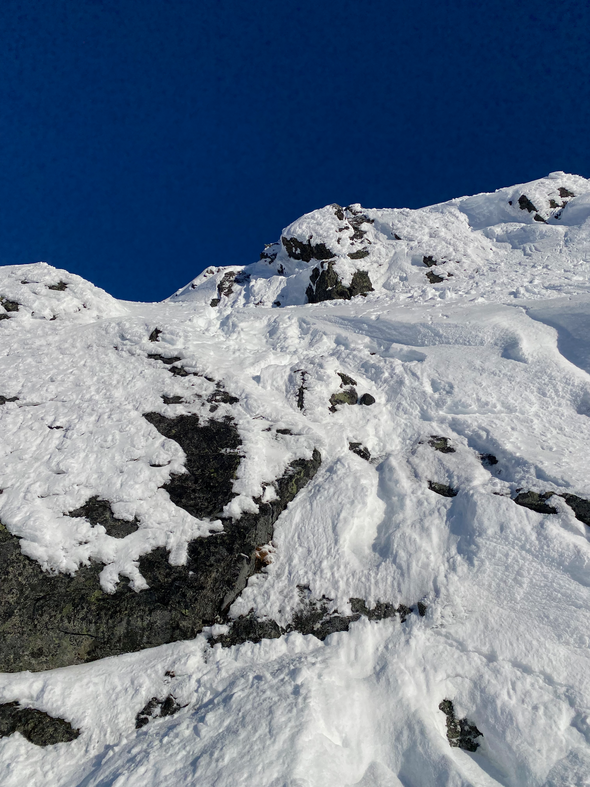
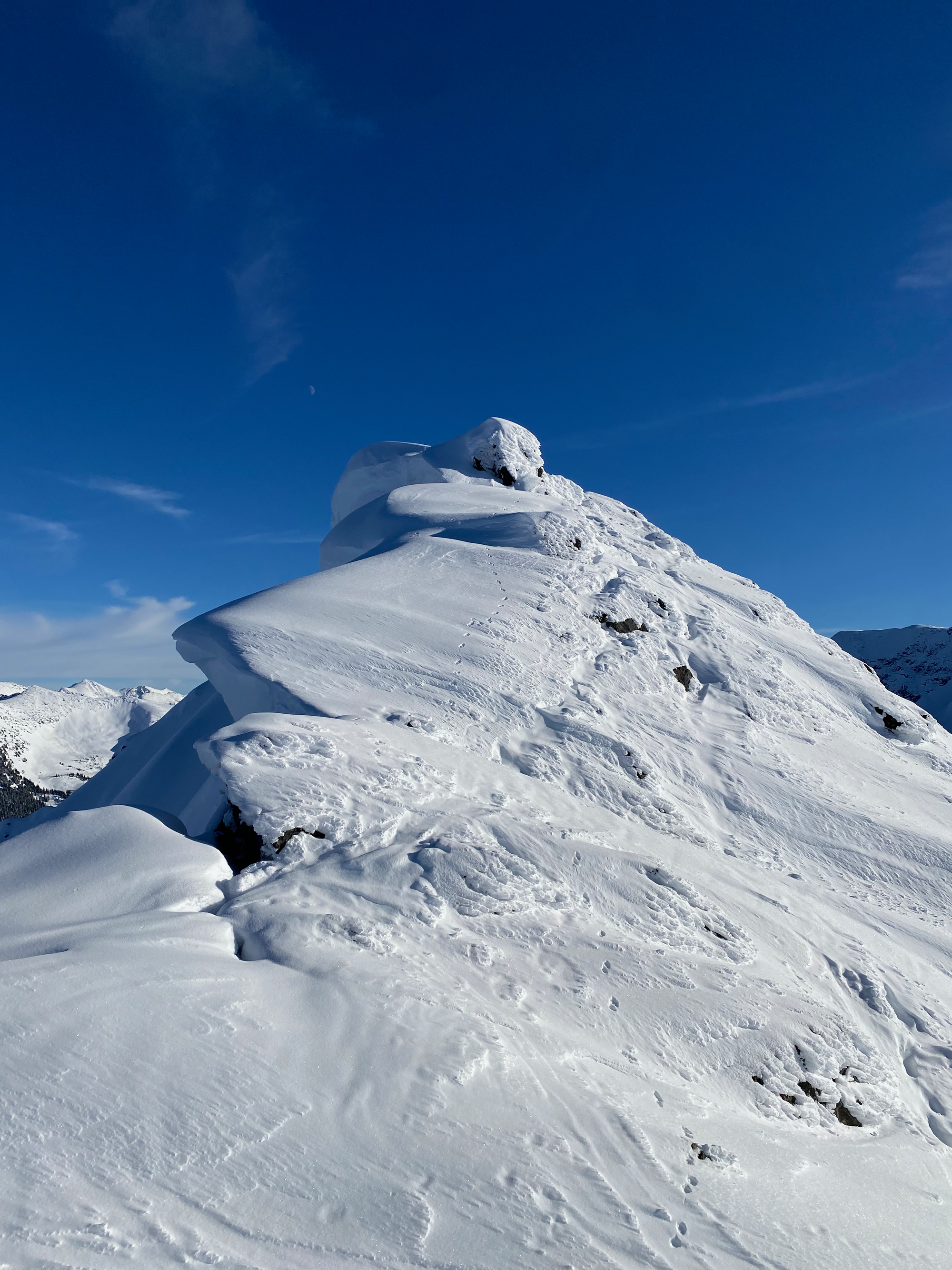
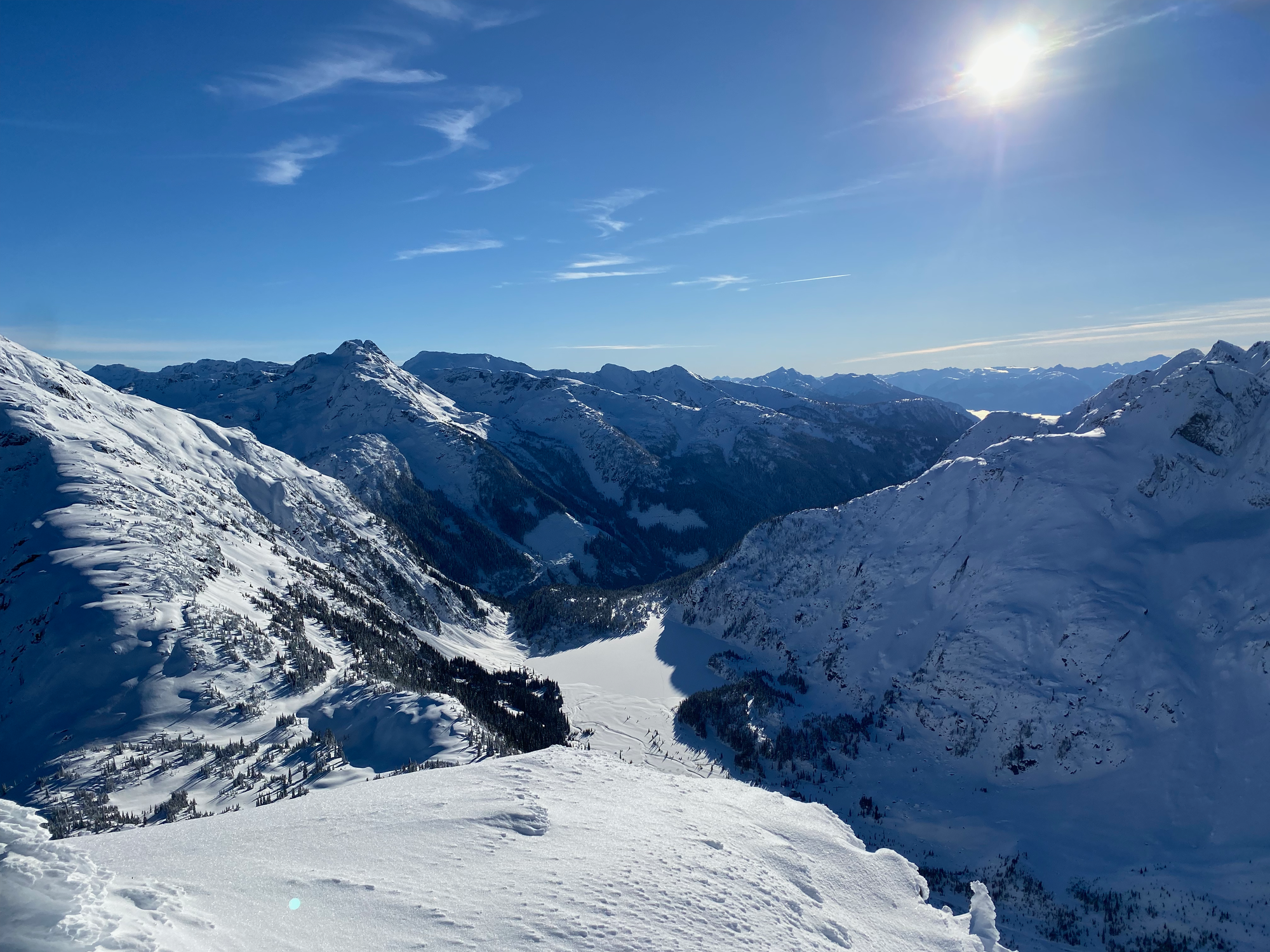
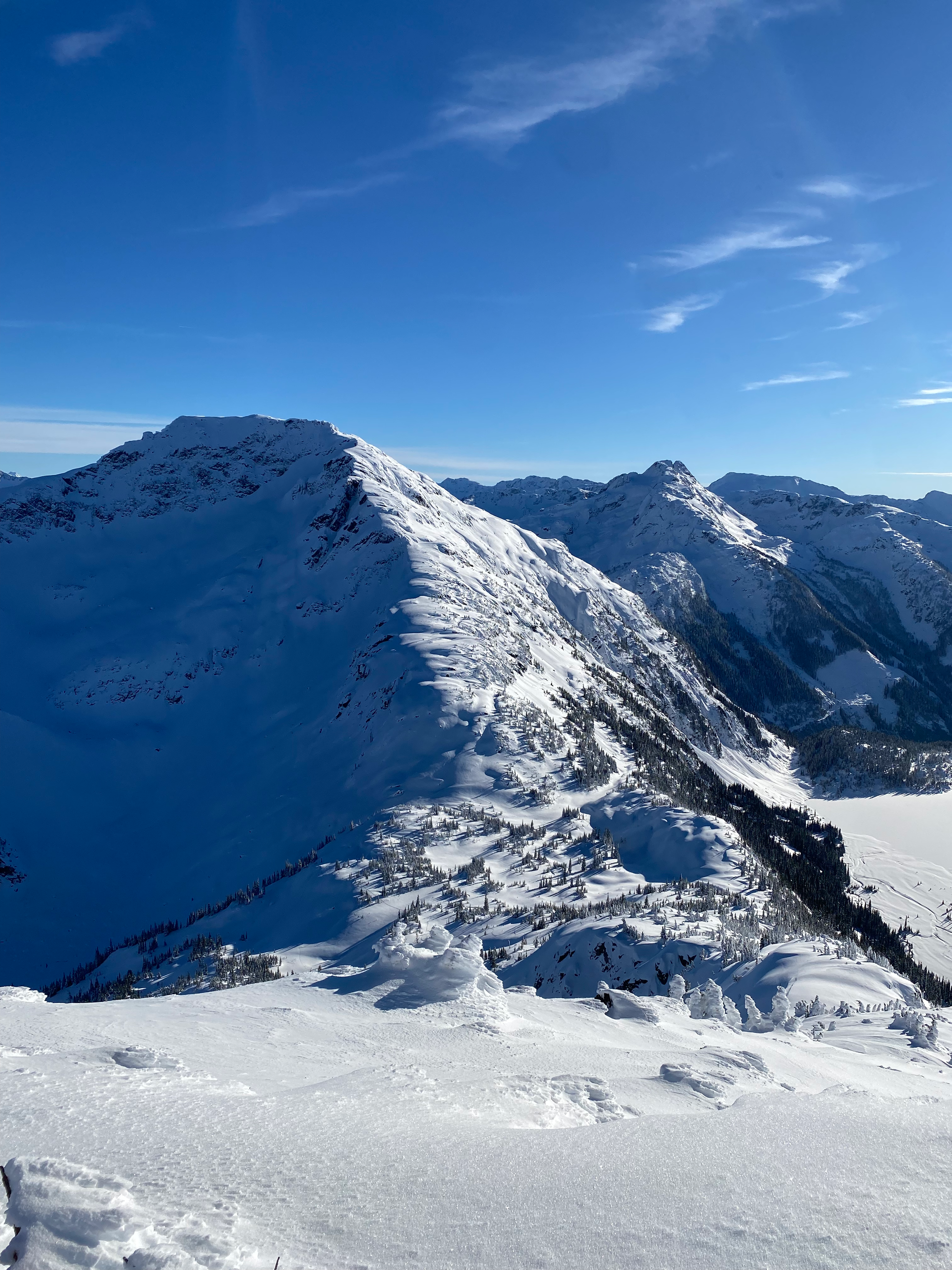
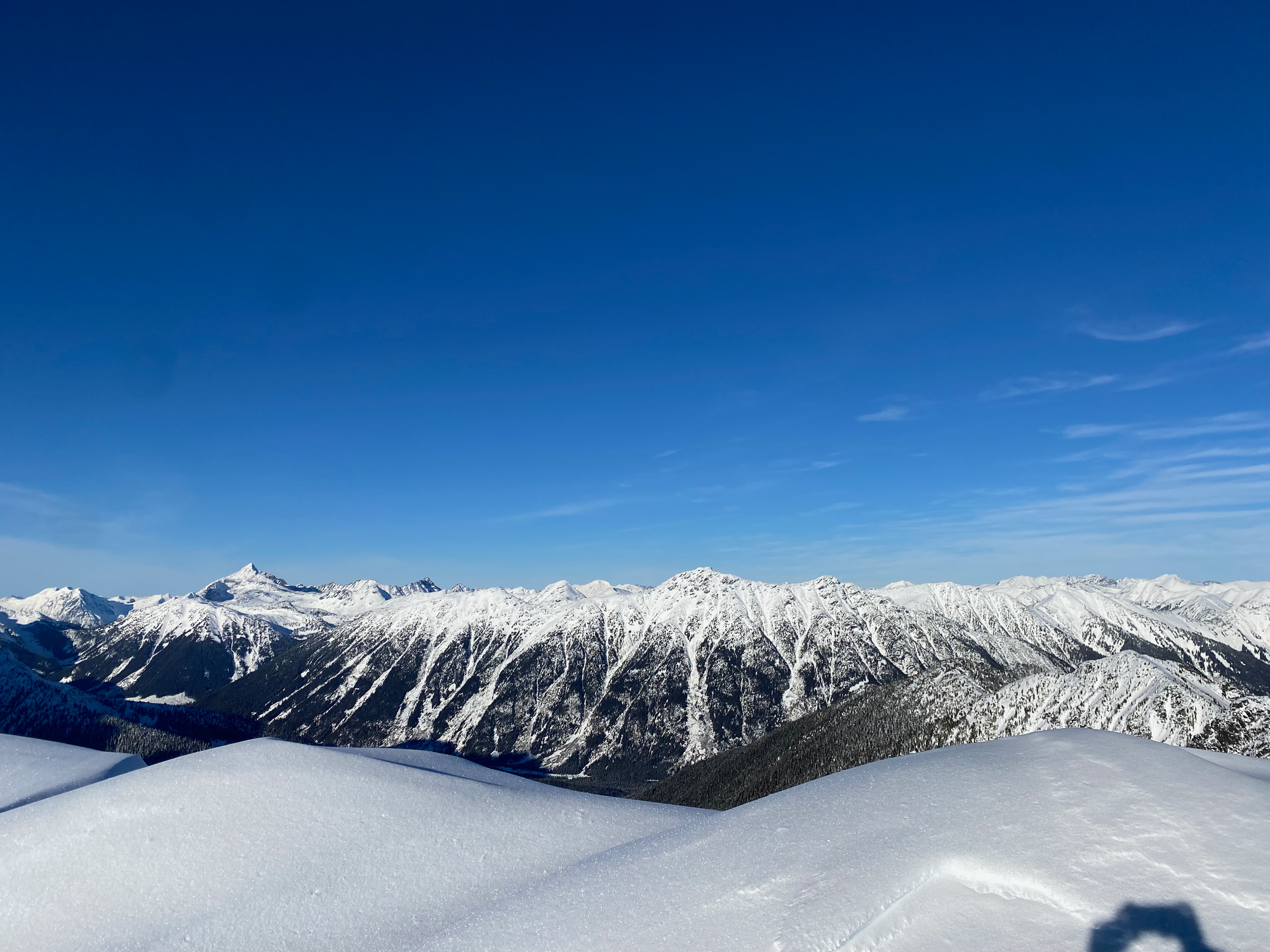
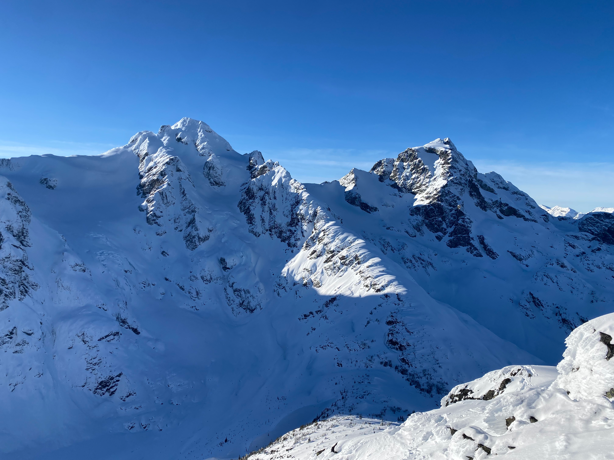
I spent a few minutes on the peak admiring the scenery, but the arctic outflow wind was strong and I eventually had to leave. I tried a few routes off the peak, such as a chimney heading south before the steep part, but none of these routes seemed like an improvement over my original ascent route, so I just went back the way I came. I walked down the ridge and into the bowl, seriously regretting not bringing skis, then made it back to the car around sunset.
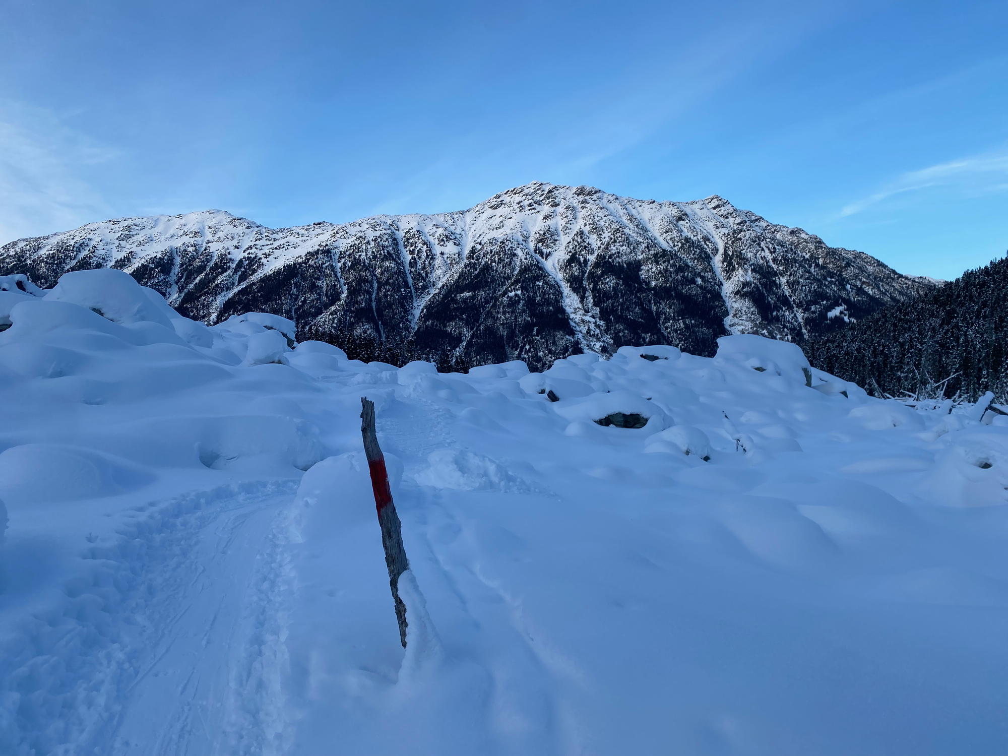
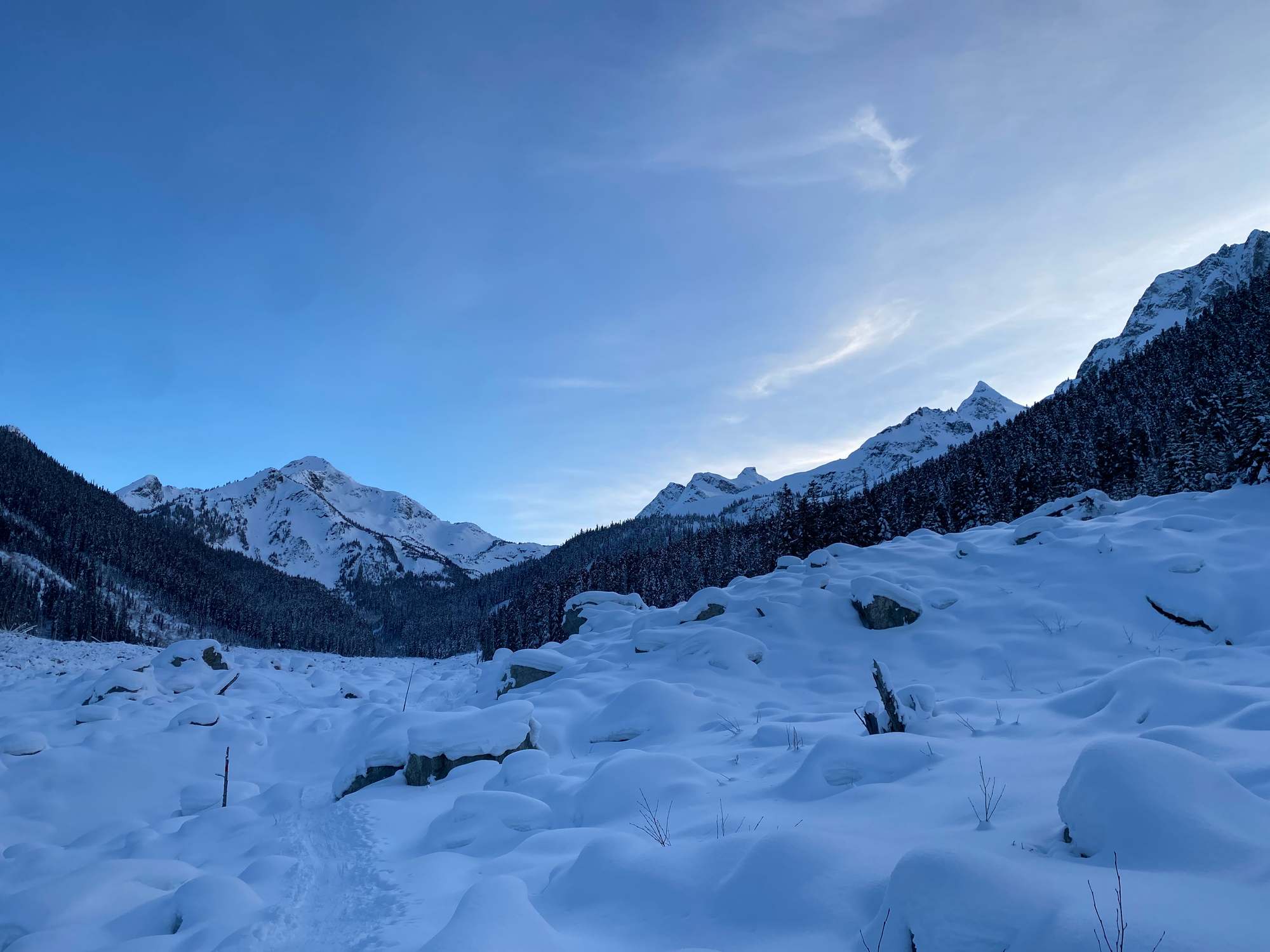
This was one of the nicest views I’d seen in a while for a decent but not crazy amount of effort. Would recommend.


Member discussion