Thompson Peak
Date: January 24, 2025
Distance: 18.91km
Elevation gain: 1331m
Thompson Peak is a prominent peak east of Chilliwack Lake which offers panoramic views. Because of its distance from the highway, Thompson Peak is one of the most accessible Vancouver-area peaks from which no houses or paved roads can be seen, adding to the feeling of isolation. The standard route involves driving down the east side of Chilliwack Lake, following the Paleface Creek FSR east for a couple kilometres, then hiking east on a deactivated FSR. This road is nice for the first couple kilometres but quickly becomes an alder sufferfest; it would be a good destination for chainsaw-based trail maintenance. Once past the FSR, a long ridge walk leads to the peak.
When I visited the peak, I followed a slightly different route that parallels the FSR through the forest, avoiding almost all of the worst bushwhacking and shortening the trip by about a kilometre. This route involves a section of sidehilling on steep slopes but was far nicer than the painful alder thrash that would have otherwise happened.
I attempted Thompson Peak a couple weeks previously, but the alders slowed me down and I had to turn around due to lack of time. On the way back I noticed a snowshoe track to the north, and took it on the return journey. There was a Chilliwack SAR truck parked near the trailhead…
I made another attempt with David S. a couple weeks later. The Chilliwack Lake FSR had many potholes, but most were avoidable. About 7.5km from the campground, we turned left (east) on the Paleface Creek FSR. This one had many water bars that were manageable in my Subaru Forester but would stop anything with lower clearance. There was a little bit of snow, but it was still drivable. I parked at about 2.5km from the turnoff, where the road forks.
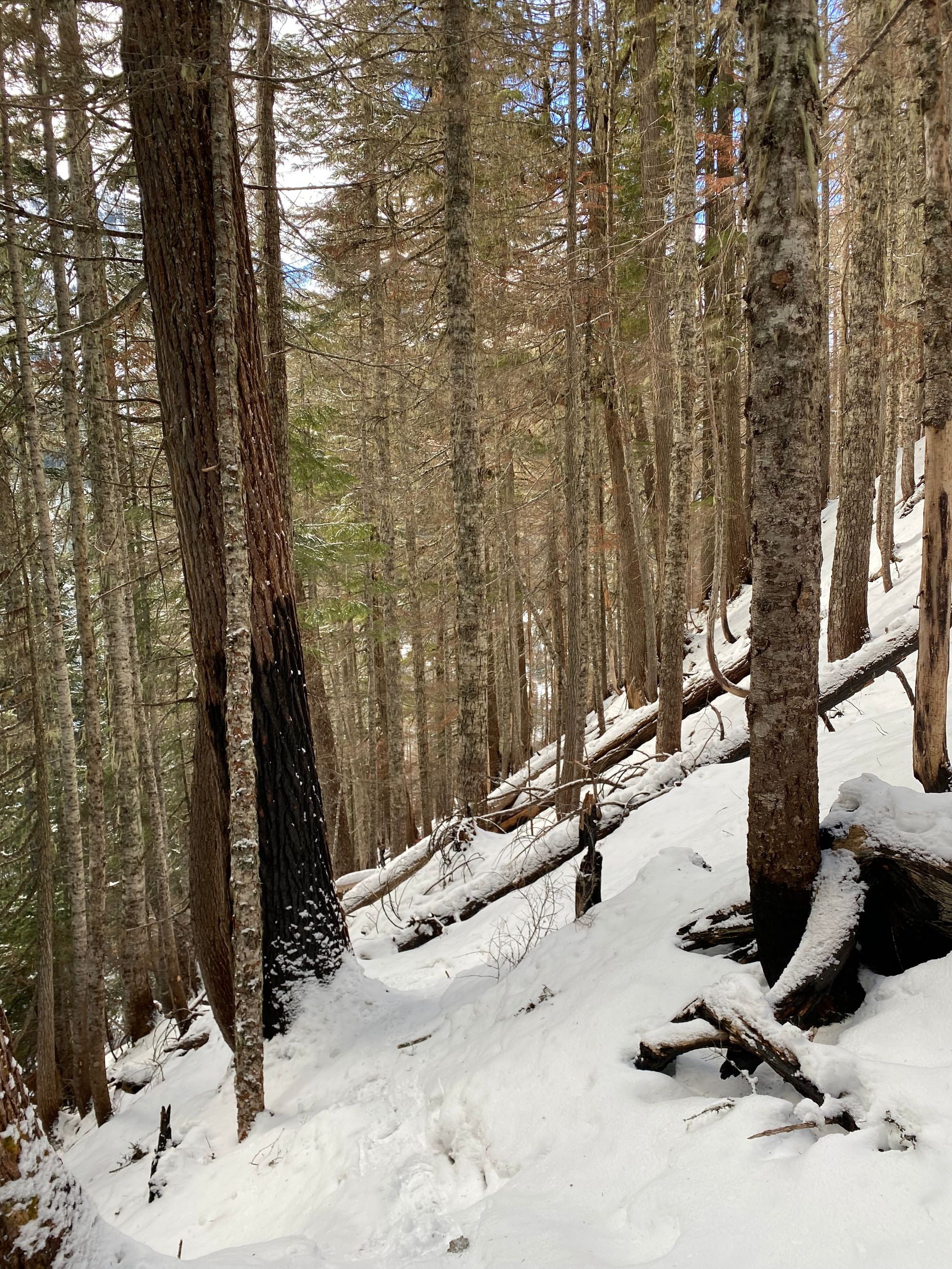
The trail starts on the right fork (south), where several large ditches would stop all vehicles. The road was clear for about two or three kilometres, with one bridge crossing and one creek crossing that involved rock-hopping on icy rocks. Soon, the trail maintenance abruptly stopped and the slog began. There was enough snow to slow us down but not enough to bury the alders. After about 100 metres, we bailed into the forest to the north, awkwardly crossing a ditch over a snow bridge that looked solid but was actually covering several alders. We soon encountered a very faint snowshoe track and followed that through the forest. For the most part, the bushwhacking was pretty mild, although there were a few short creek crossings and a couple sections of deadfall that had to be managed.
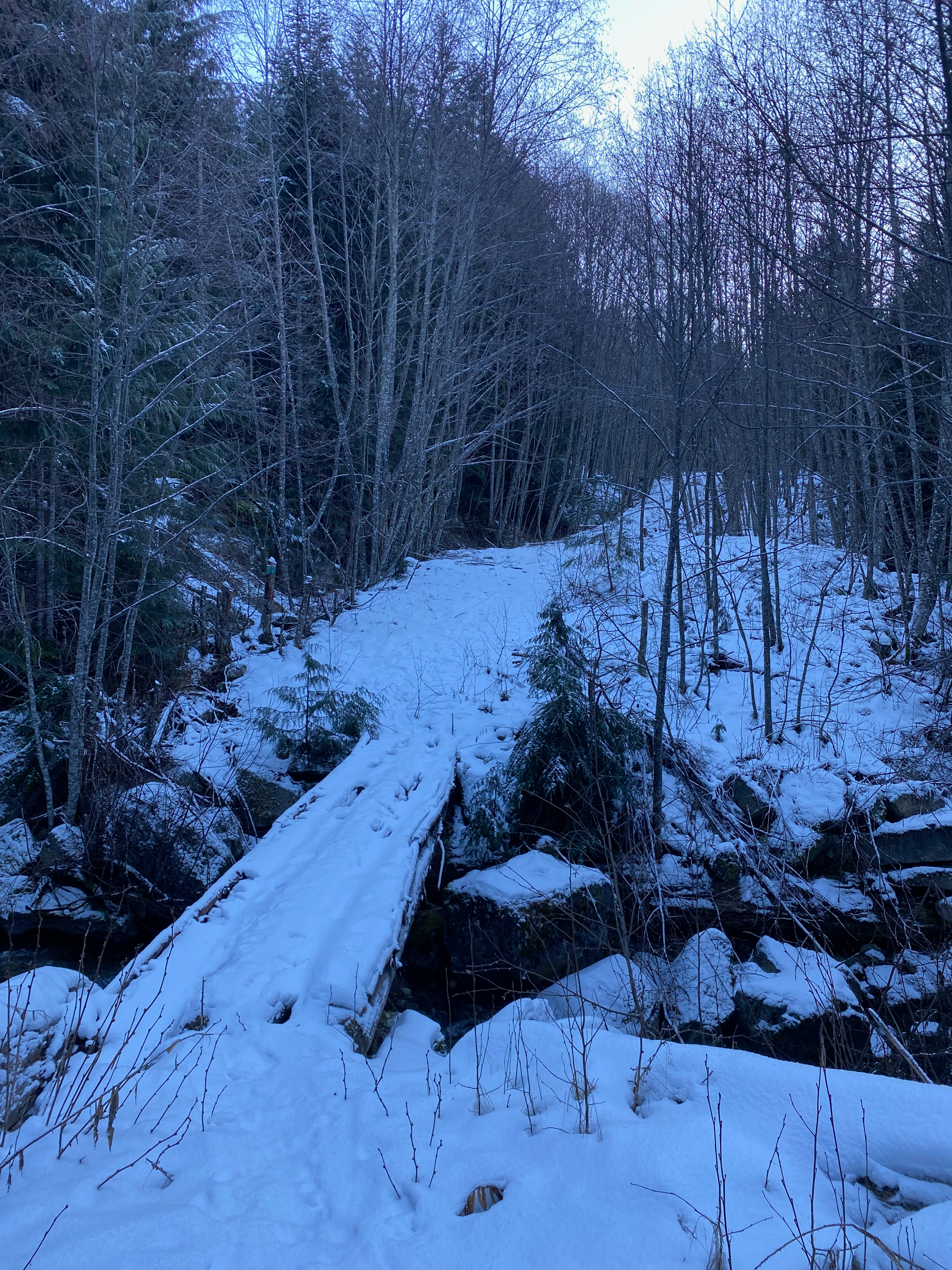
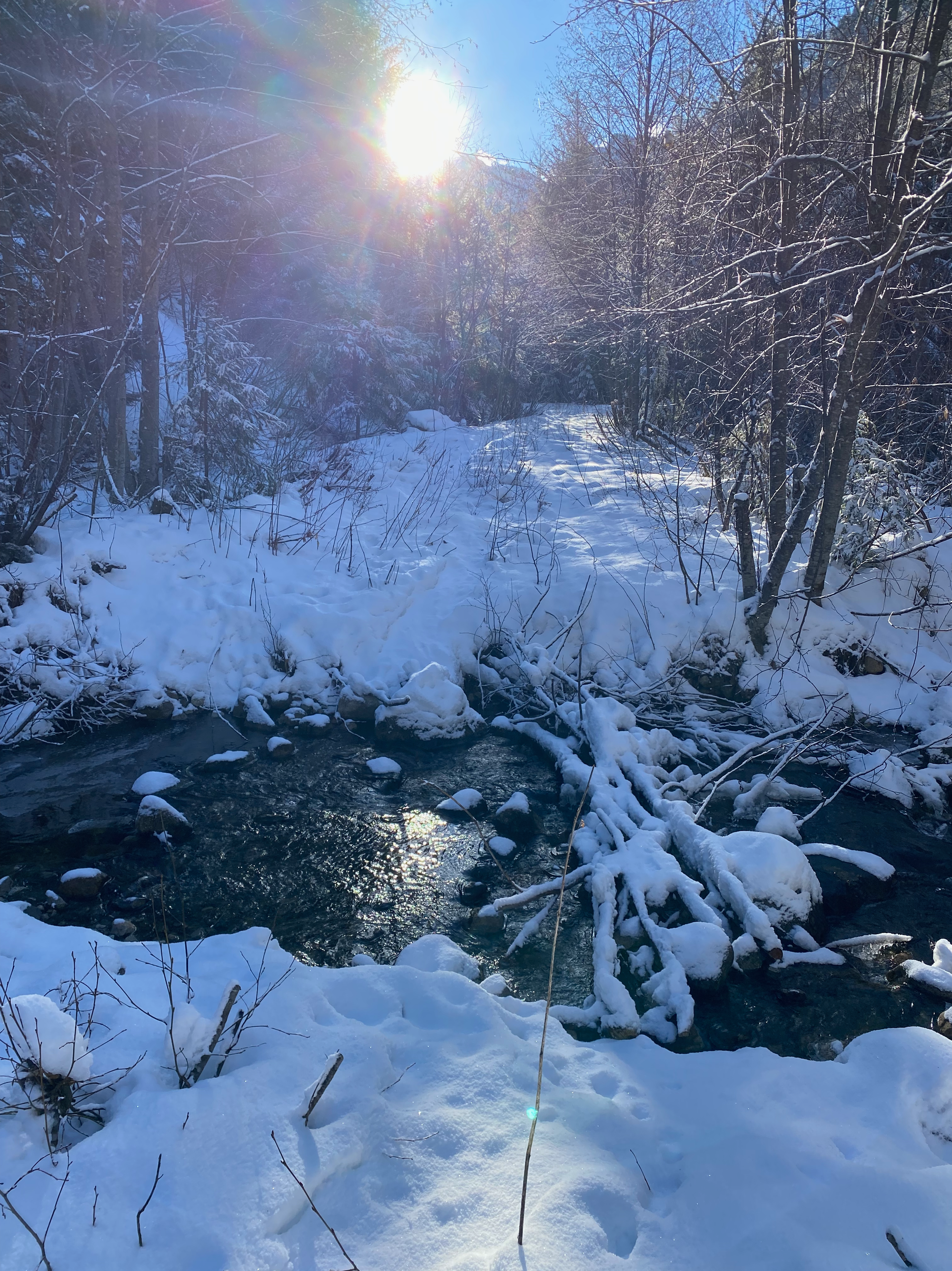
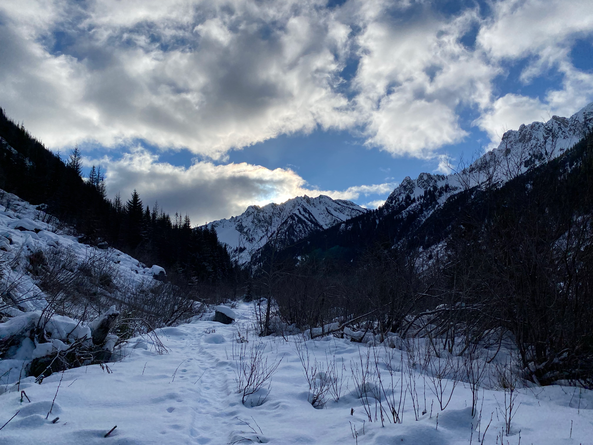
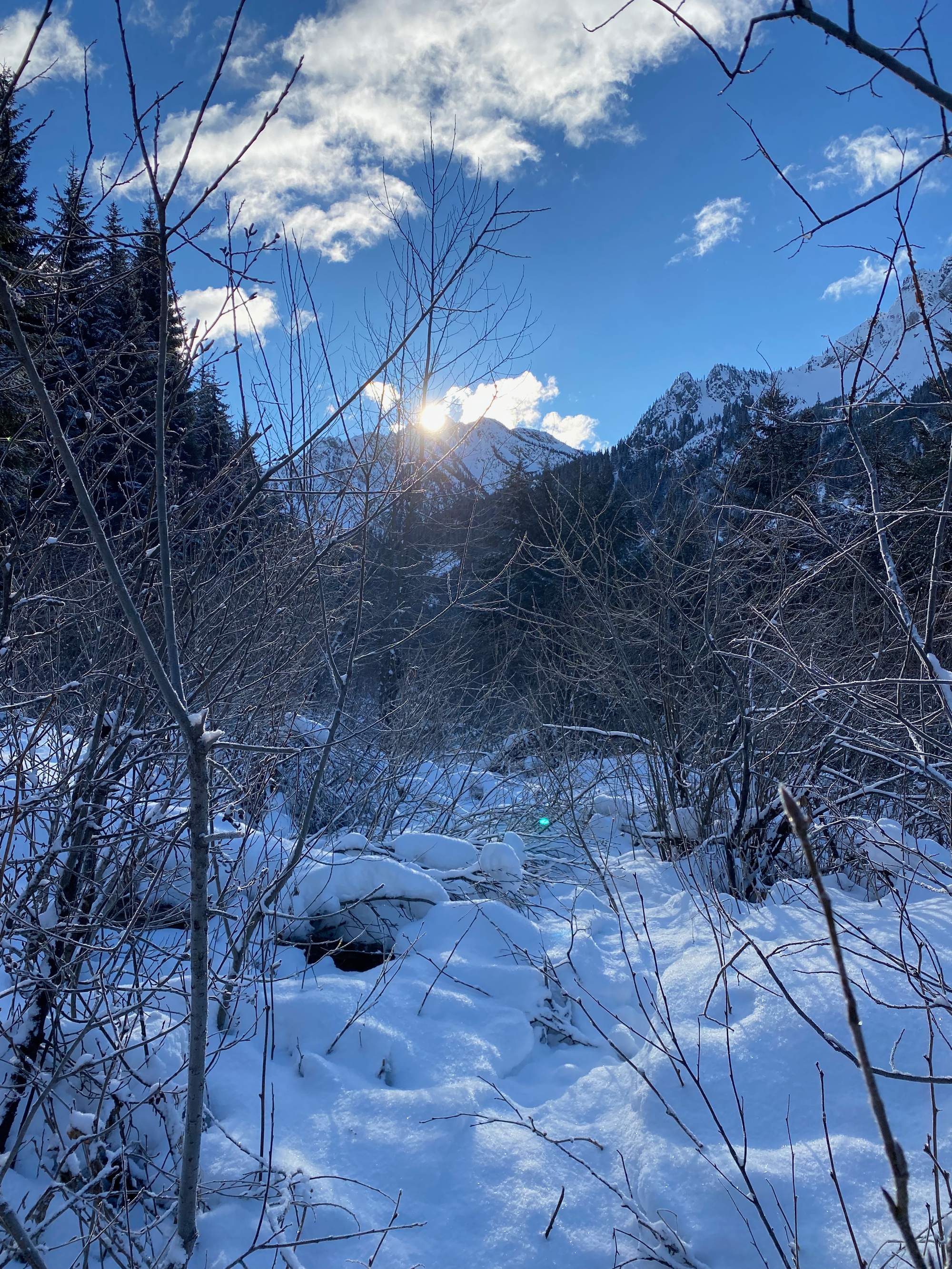
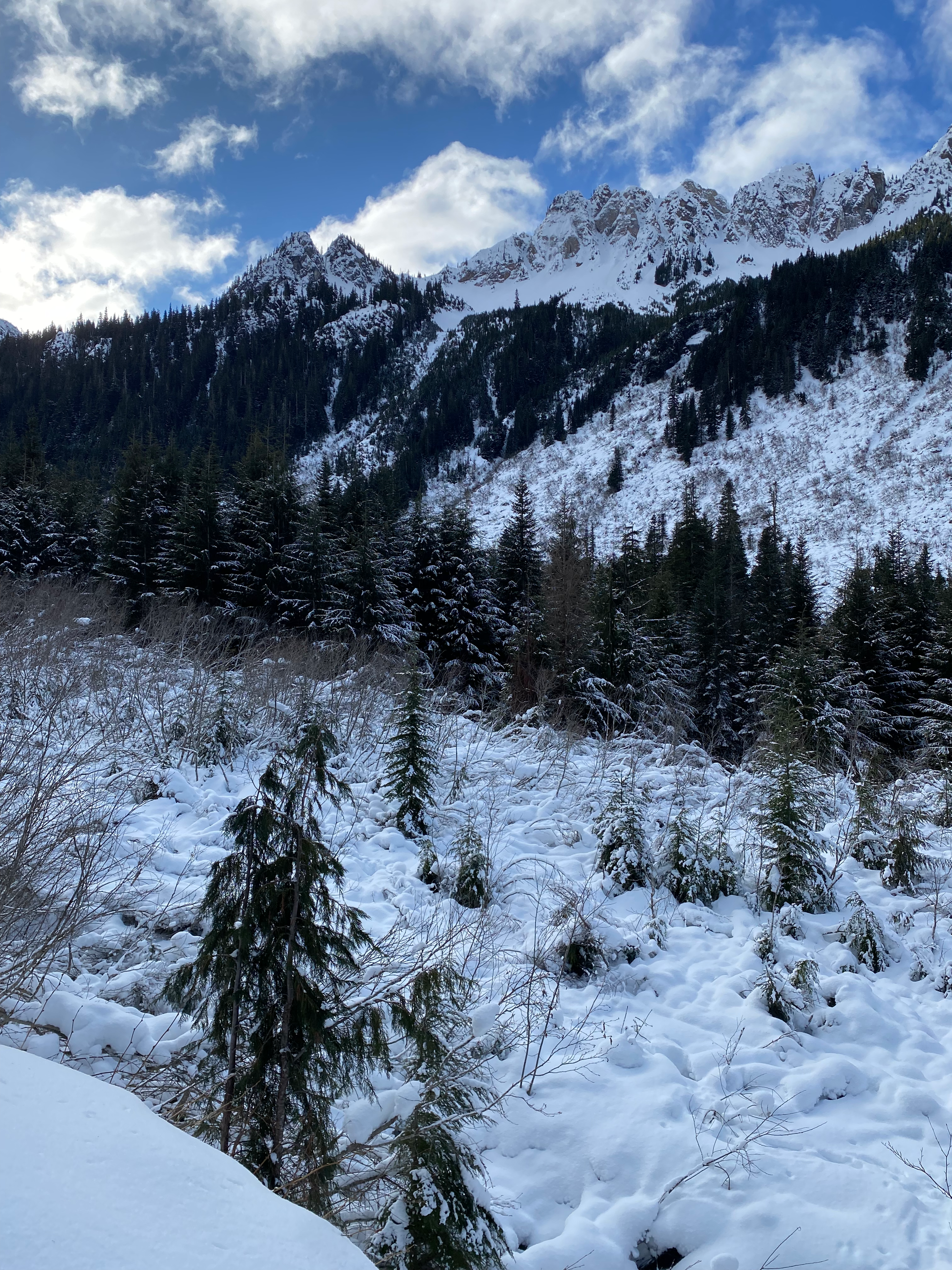
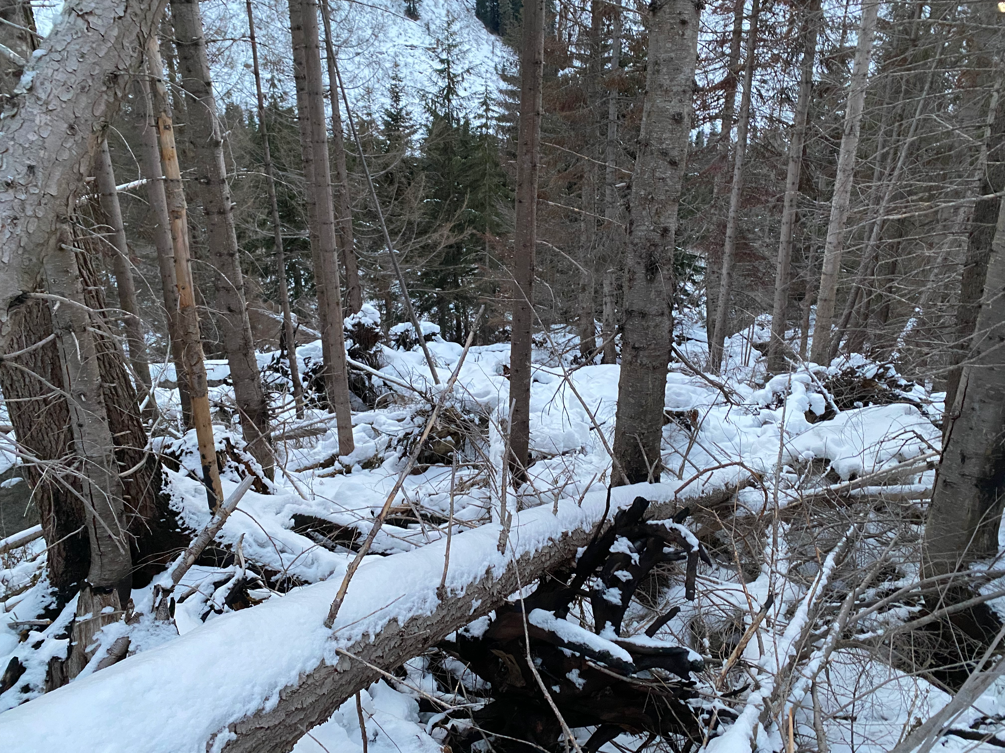
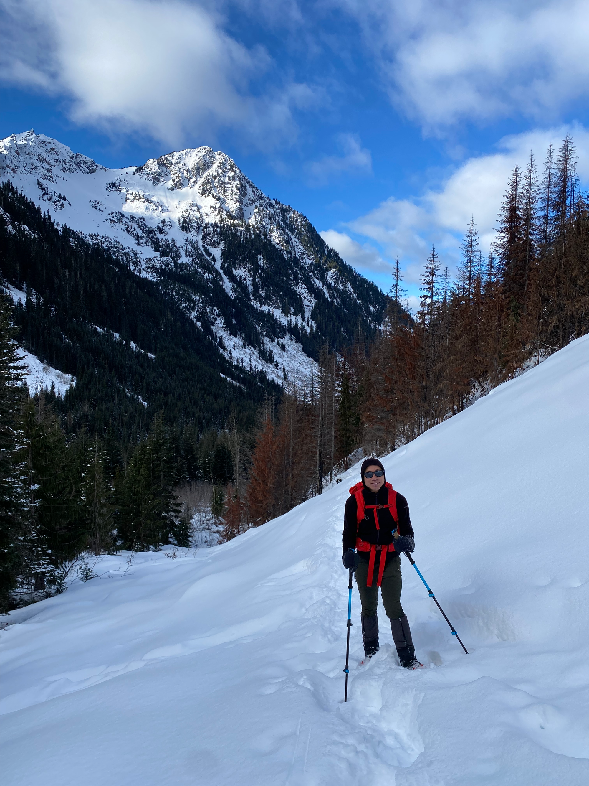
At about 1300m we cut a large switchback, following tracks which took us along the northern side of a creek valley. This area was recently burned in a wildfire. Travel was mostly fast, although a lot of the smaller trees were damaged by the wildfire and broke easily. You definitely want a solid snowpack for this route to avoid sliding into the creek. There was one exciting section where we had to climb over a fallen log. (The standard route keeps following the FSR to the south - this might be better when snow fully covers the alders).
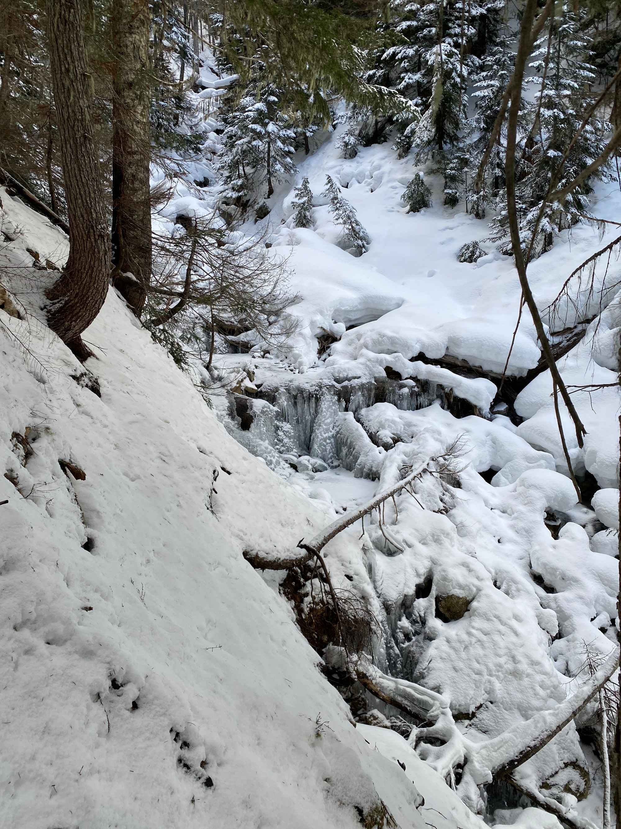
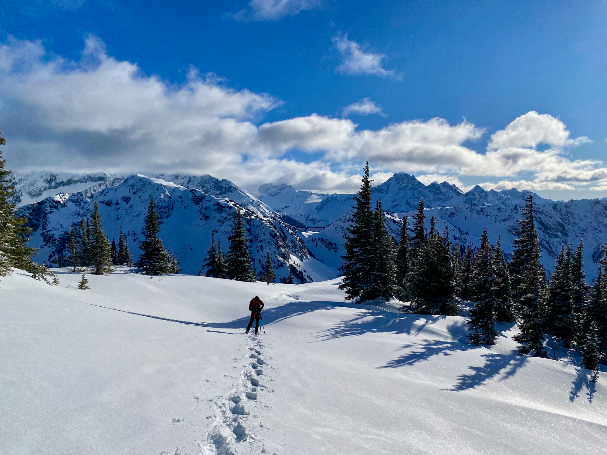
Eventually we found ourselves in a wider valley, which we followed northward. After another short ascent, we were in a bowl below Thompson’s ridge. Another ascent took us to the ridge itself, where we had lunch.
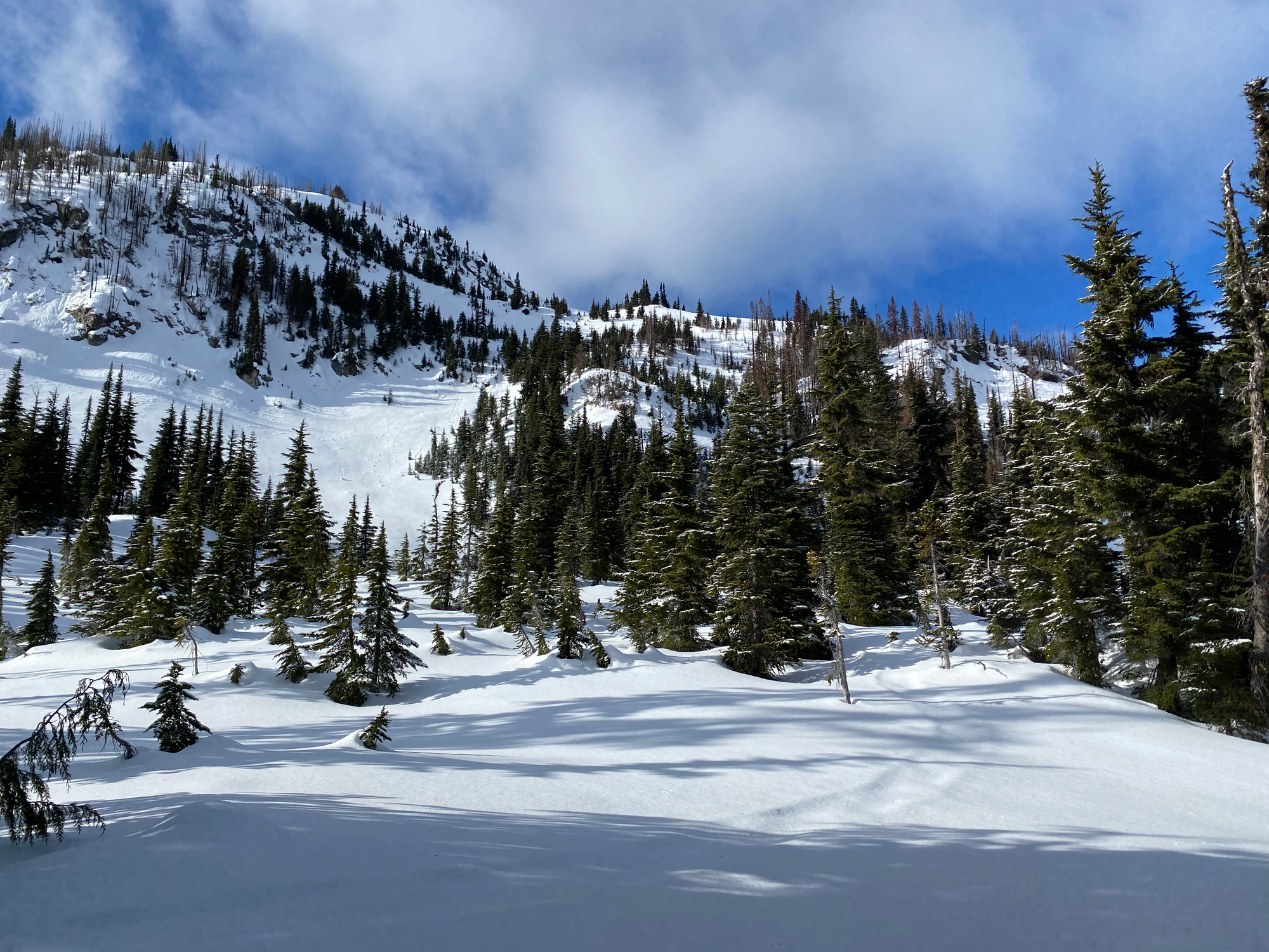
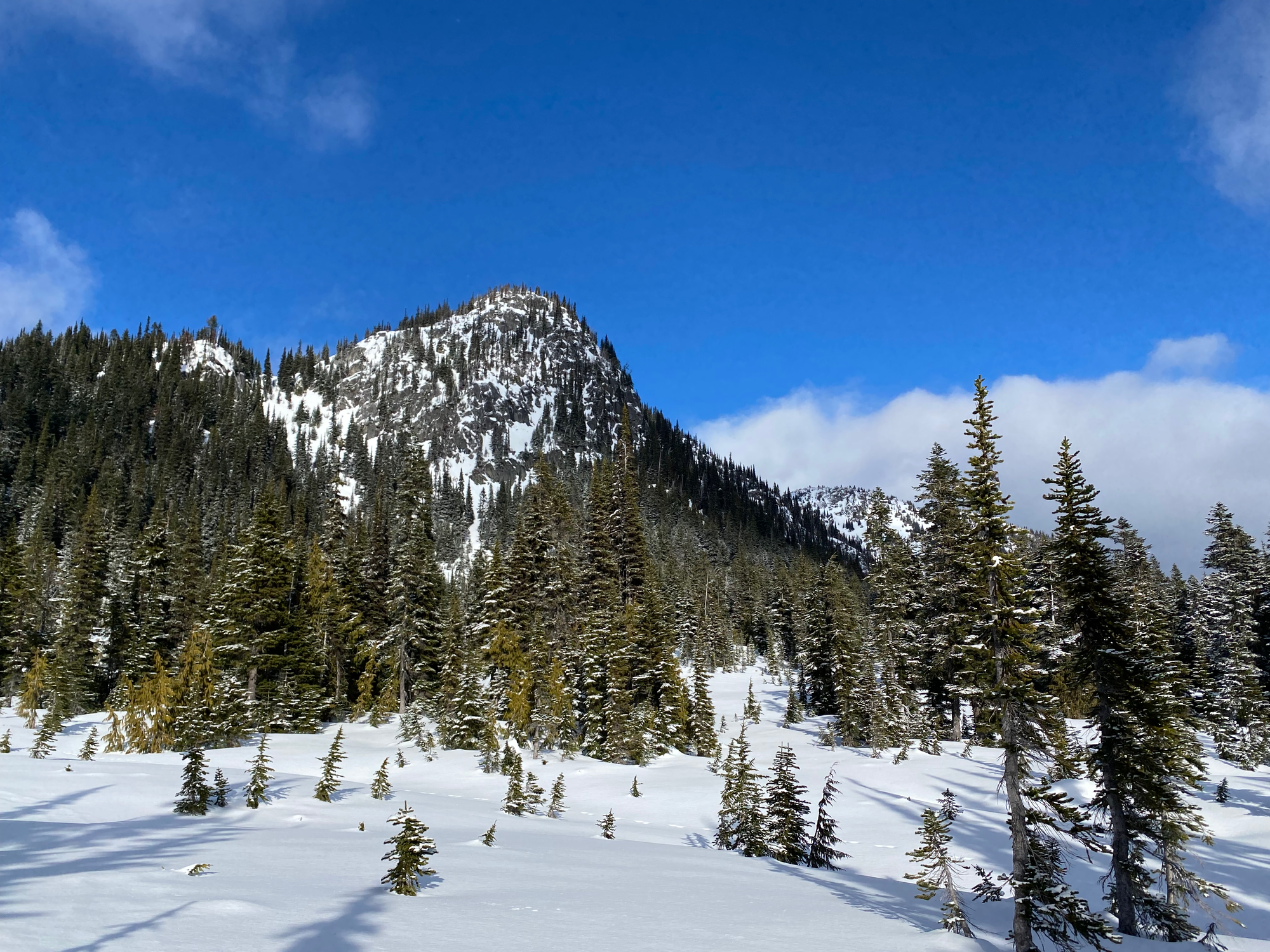
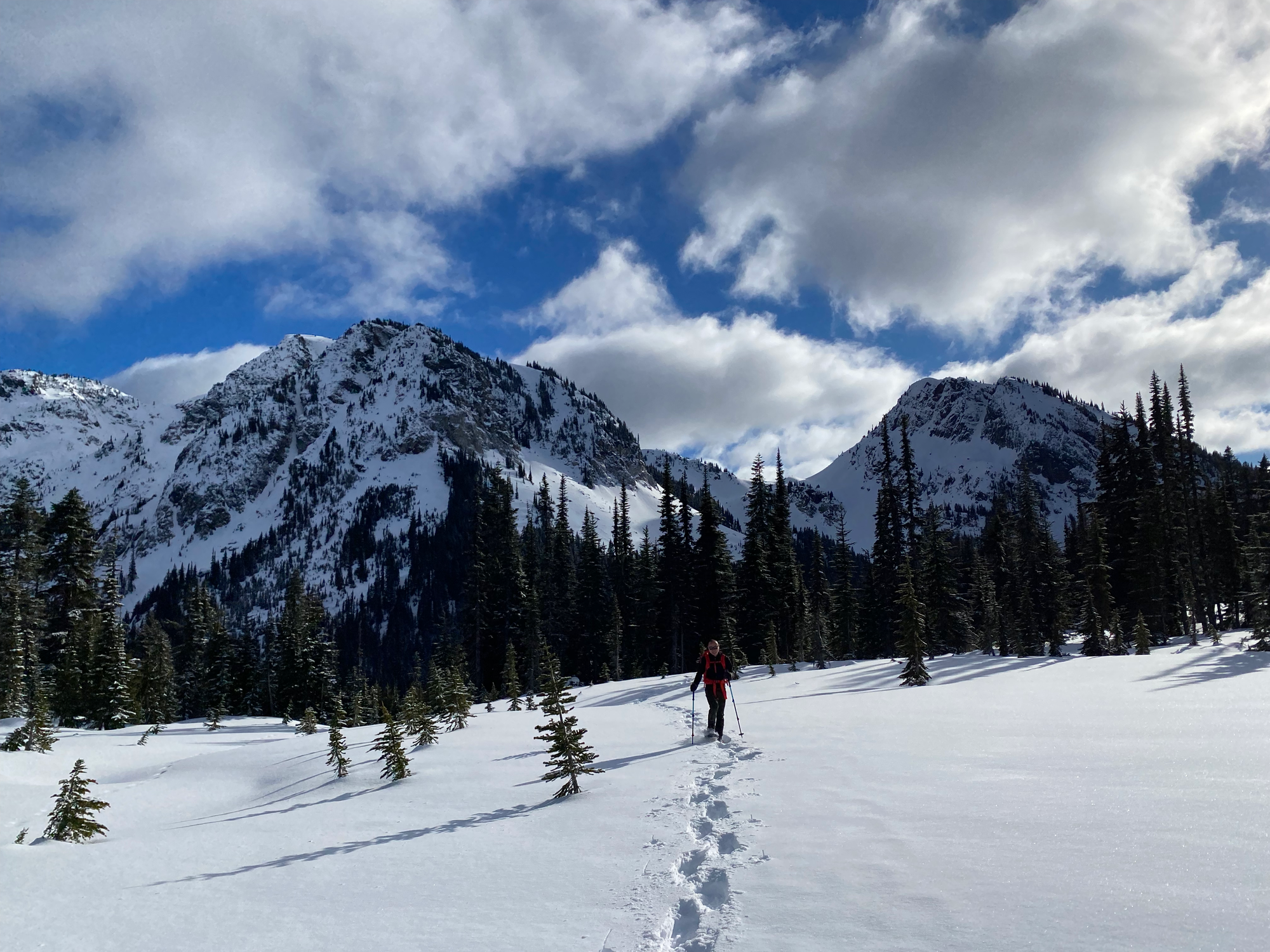
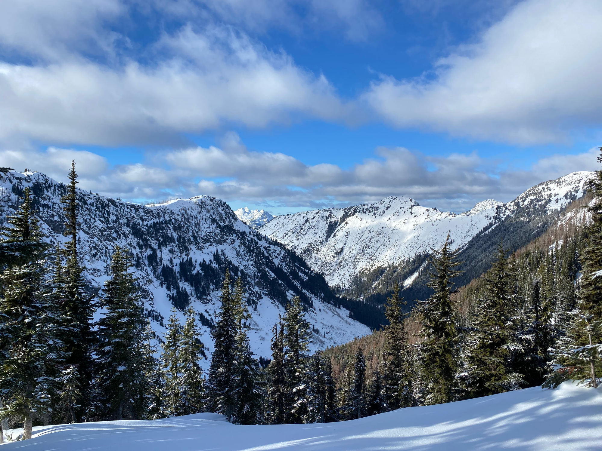
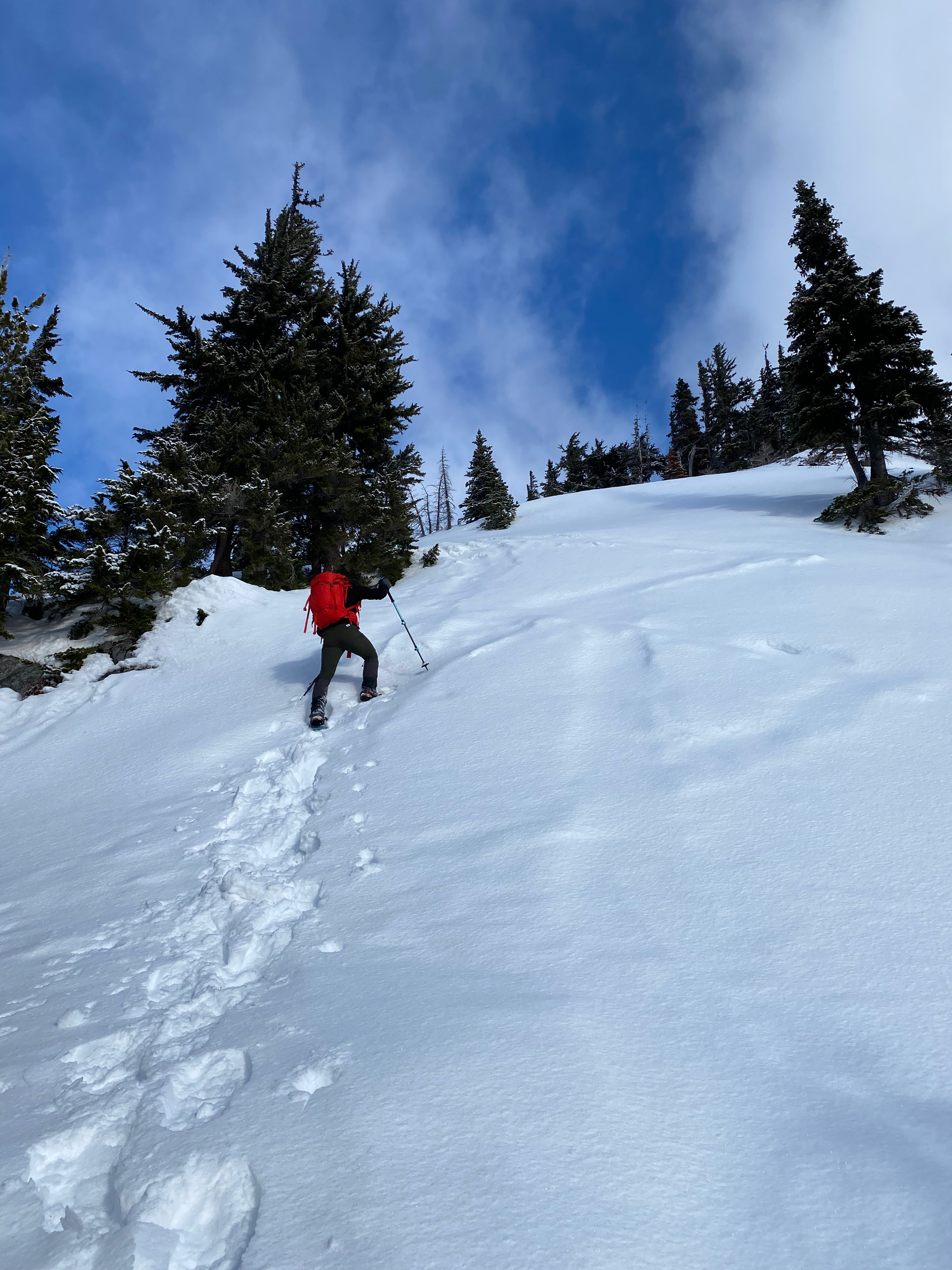
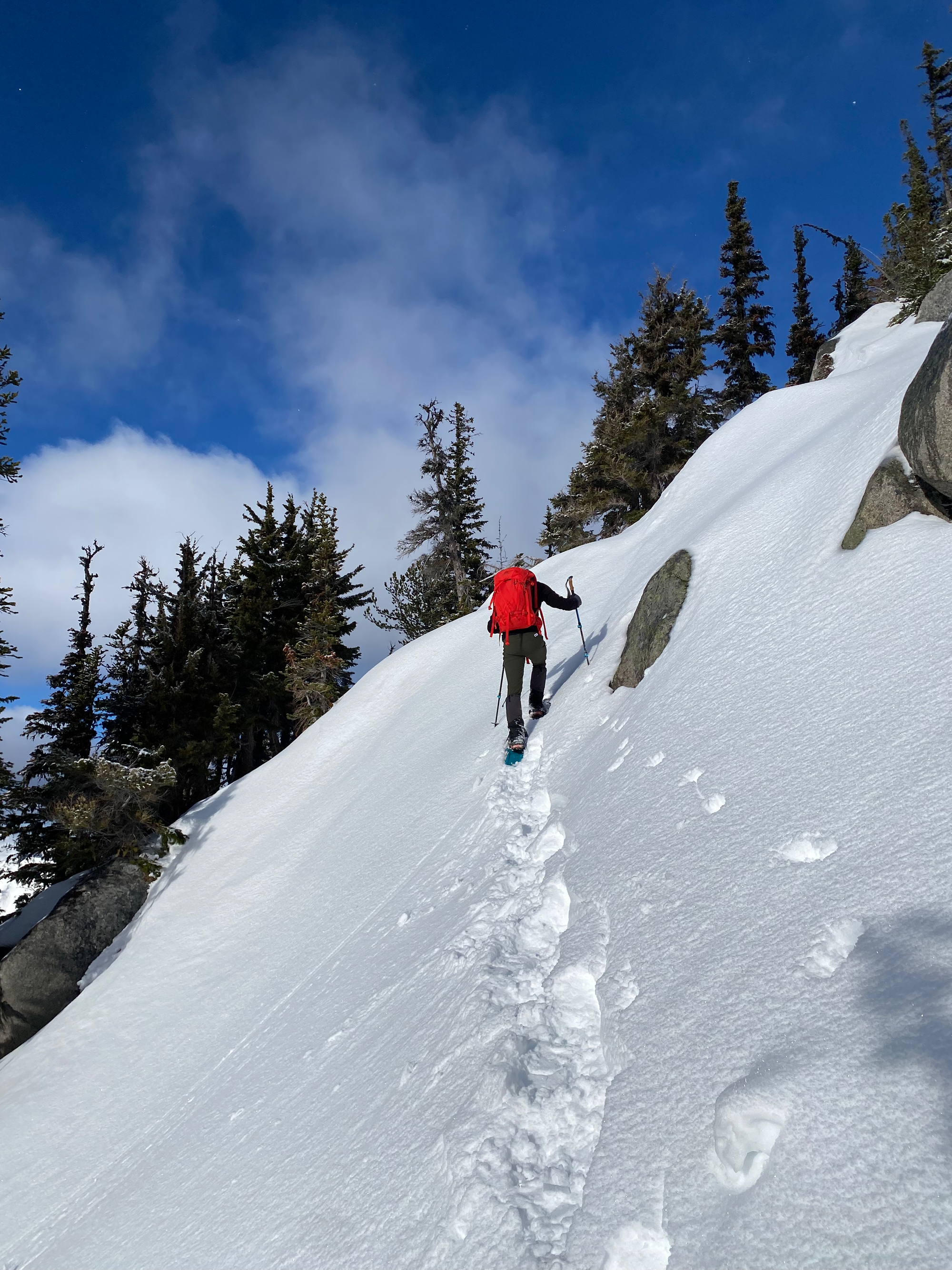
From there, it was a long plod up the ridge to the peak. This was mostly straightforward except for two steep non-exposed sections where we had to cut steps. We took the path of least resistance and didn’t need to bushwhack. There are a couple false summits and we didn’t see the actual peak until the very last second.
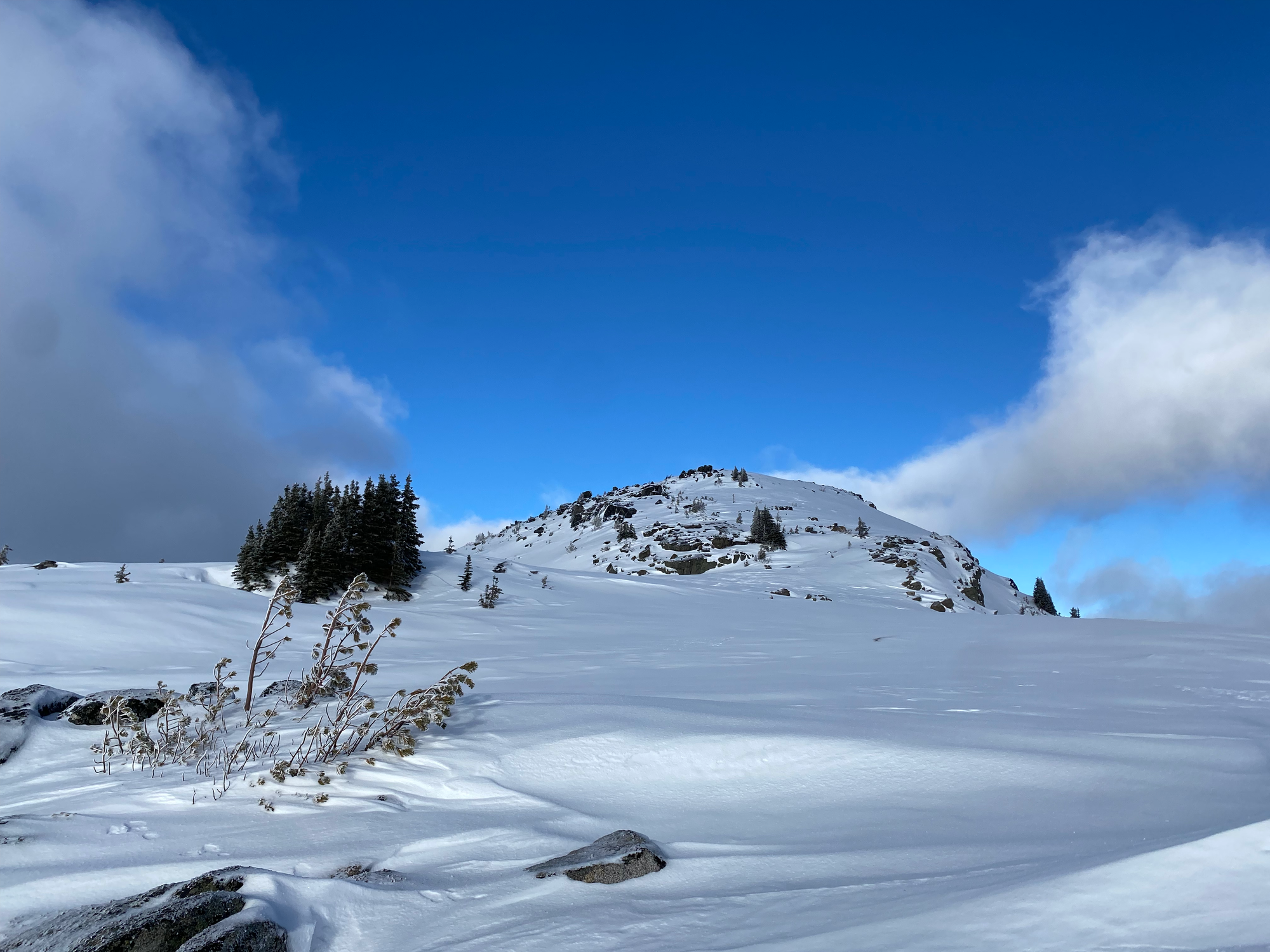
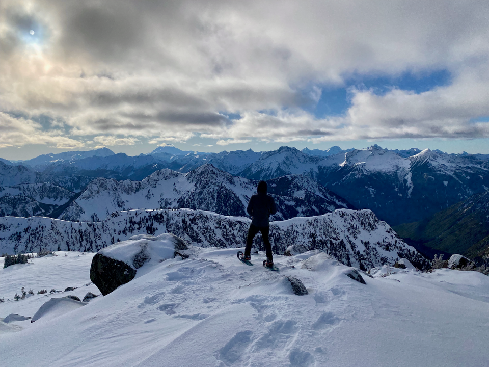
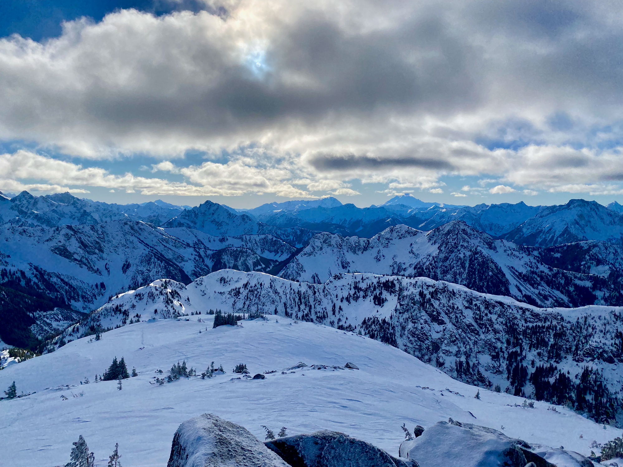
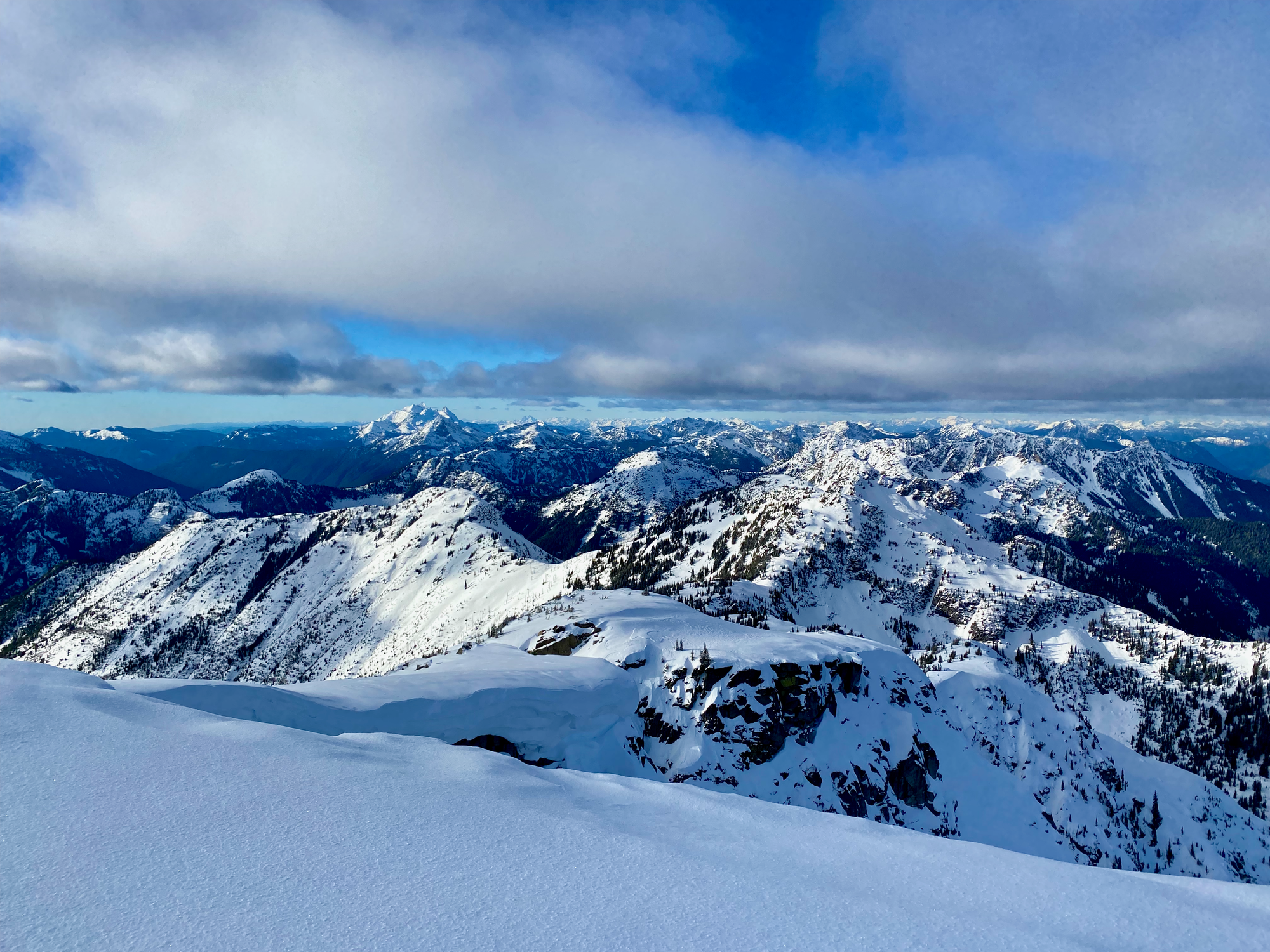
Once on the peak, the views were incredible, with Baker and several very remote North Cascades peaks to the south and the Cheam Range and Silvertip area to the north. The peak felt very remote and isolated, with no sign of any road or any views of the route we’d ascended. It was warmer than forecasted and we stayed on the peak for a while.
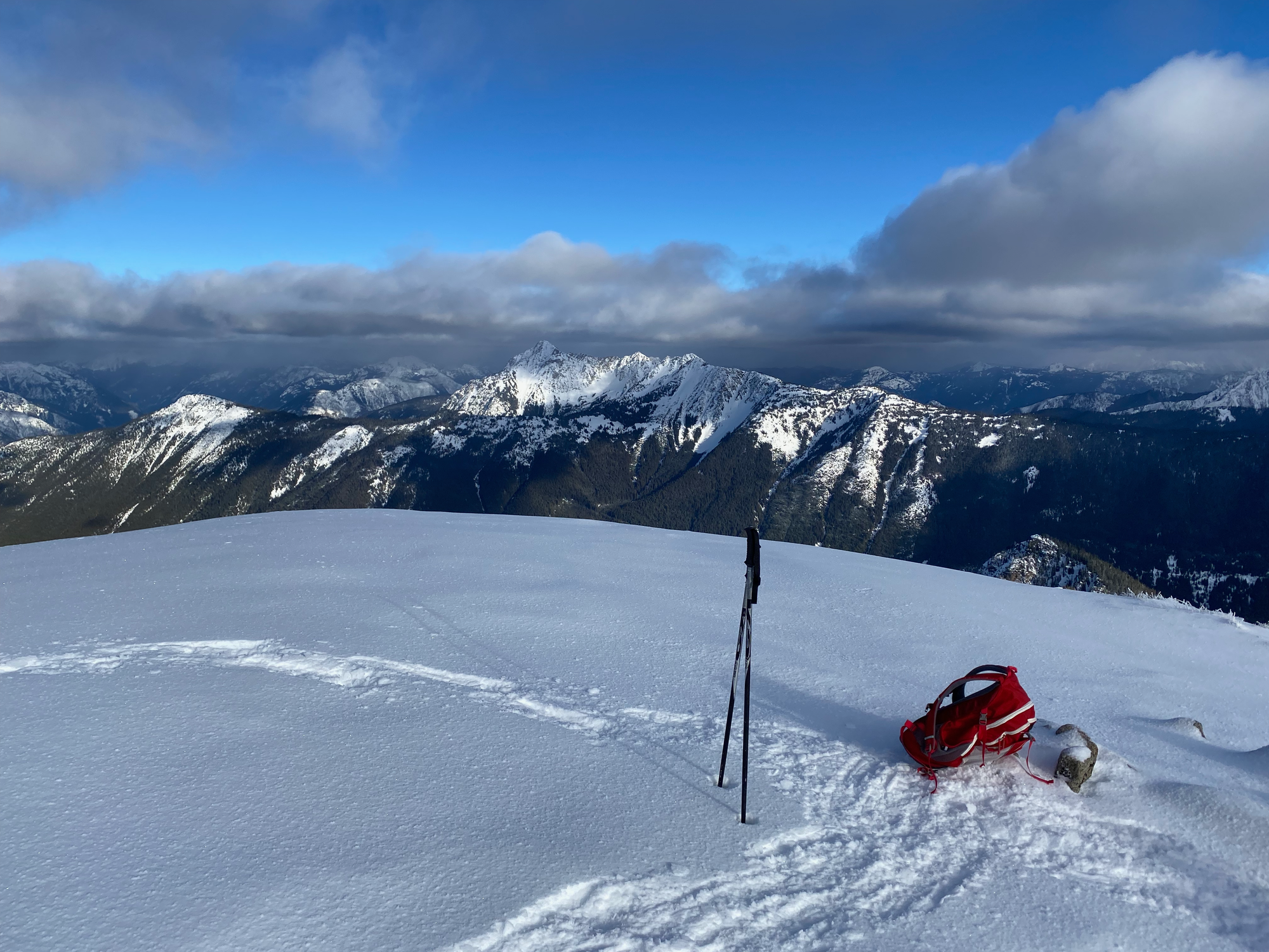

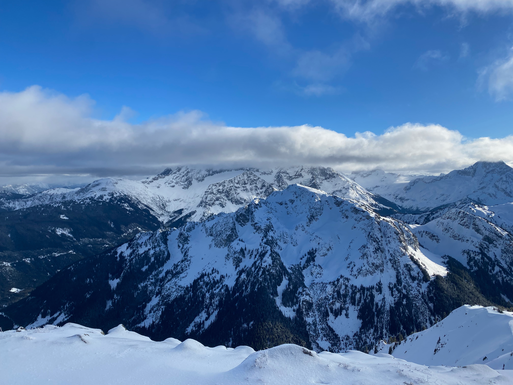
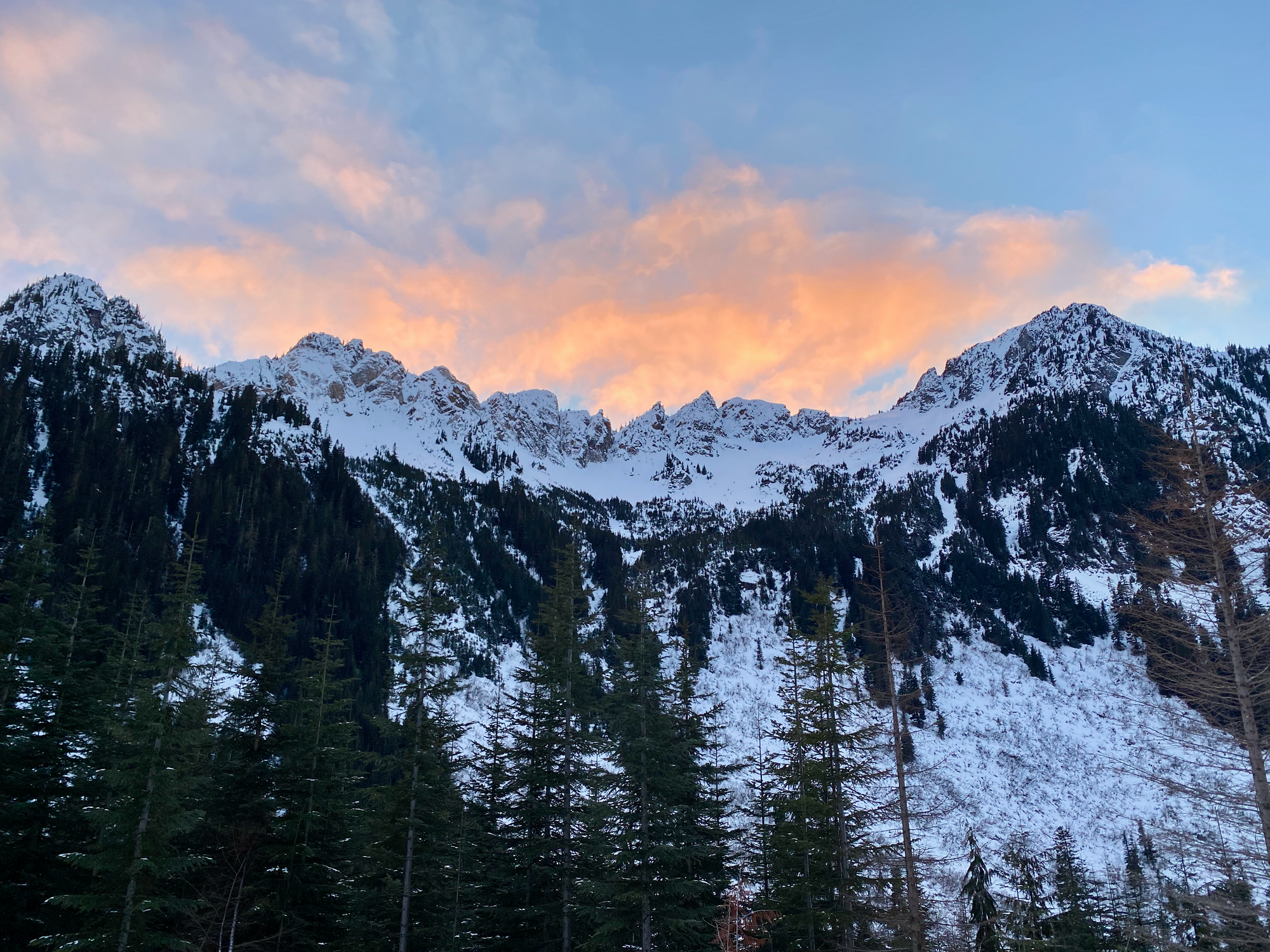
Eventually we headed back the way we came, reaching the FSR around sunset and the car after dark.


Member discussion