Santanoni Range
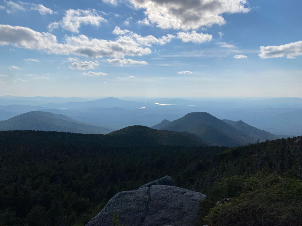
Date: August 27, 2024
Distance: 25.23km
Elevation gain: 1247m
The isolated Santanoni Range, nestled in the southwestern corner of the High Peaks area, contains three high peaks: Santanoni (a Mohawk version of "St. Anthony"), Panther, and Couchsachraga. I hiked all three as a counterclockwise loop on my extended Montreal layover. Finn wasn’t available and my email to the McGill Outdoors Club mailing list got caught in the spam filter, so this was going to be a solo hike.
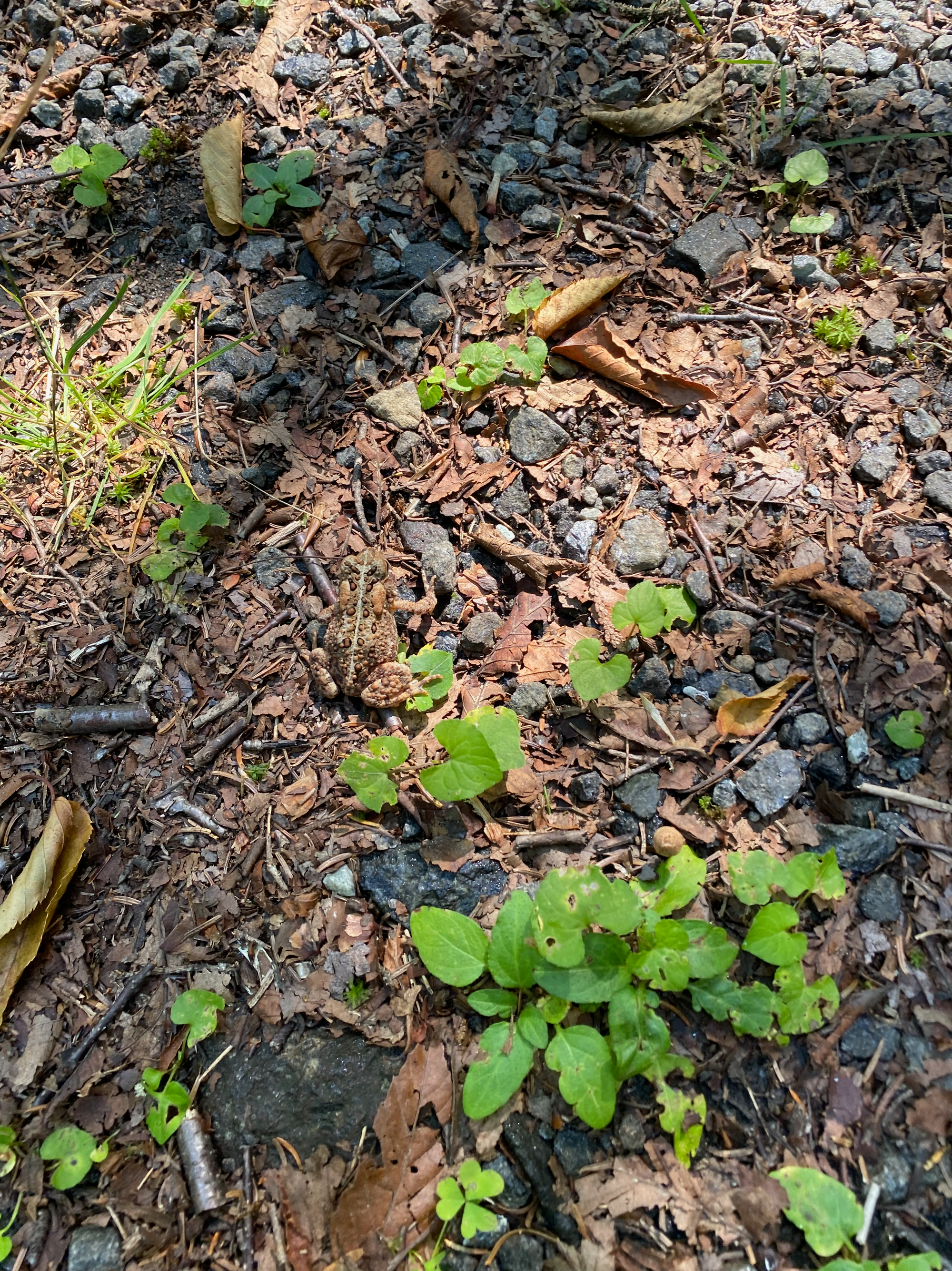
The drive from Montreal took 3 hours, instead of the usual 2, as I had to drive south and west around the high peaks. I parked at the trailhead, located along a gravel road near Newcomb, and headed west. The first few kilometres are along a logging road which is gated and closed to cars. A bike would be helpful here, although there were many sections with loose rocks. There were lots of frogs hopping along the road.
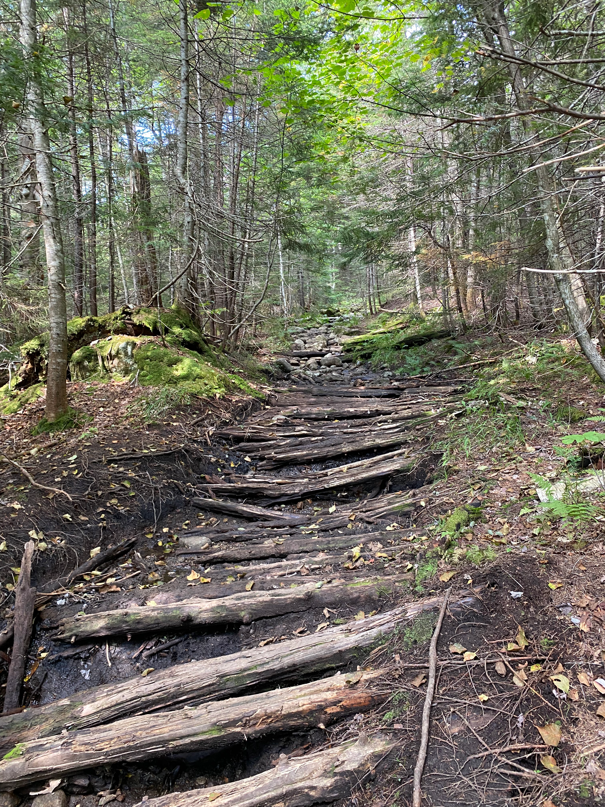
After a few kilometres I turned north on the Bradley Pond trail. This section had many remnants of an old corduroy logging road.
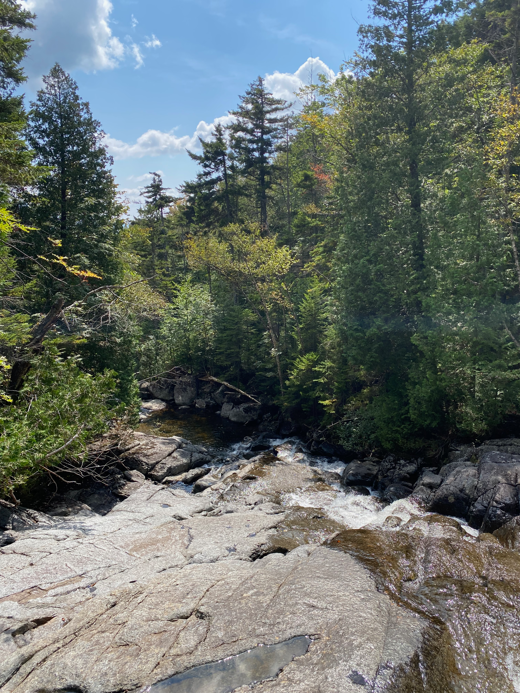
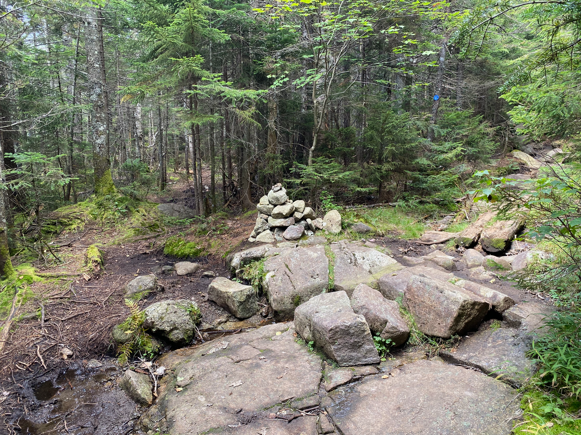
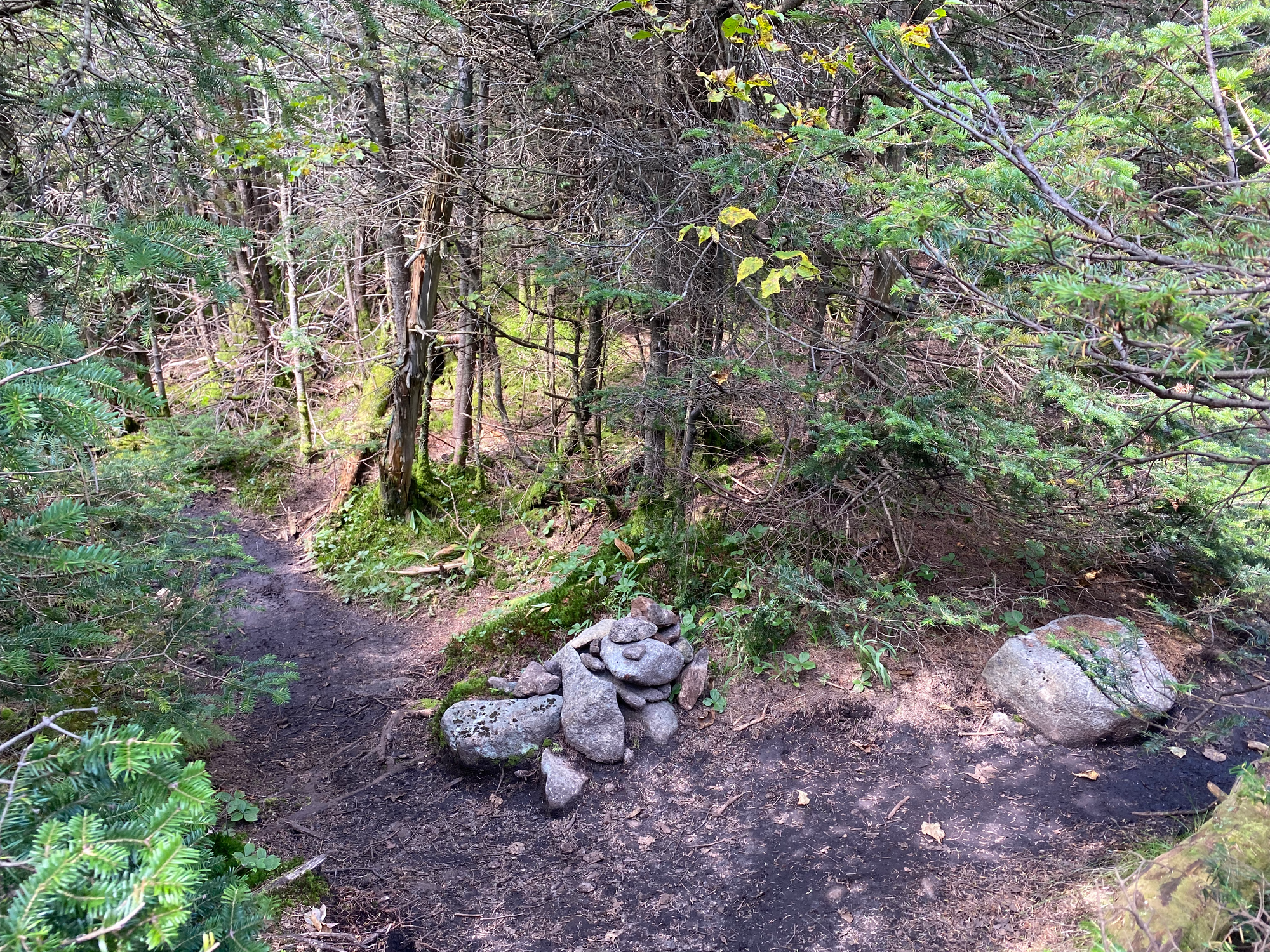
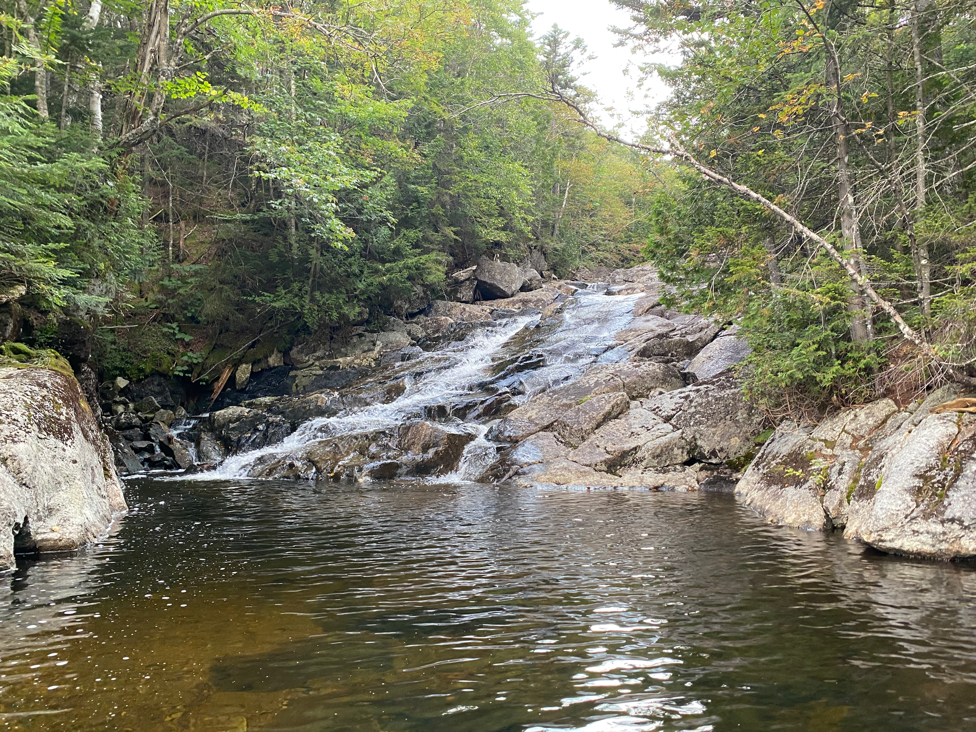
The trail followed the creek for a while before reaching a junction marked with a cairn. I took the trail to the left, the Santanoni Express, which leads to Santanoni Peak. This trail is an unmaintained herd path, but since trails erode so quickly here and the High Peaks herd paths see a lot of use, there honestly isn’t much difference between the herd paths and official trails.
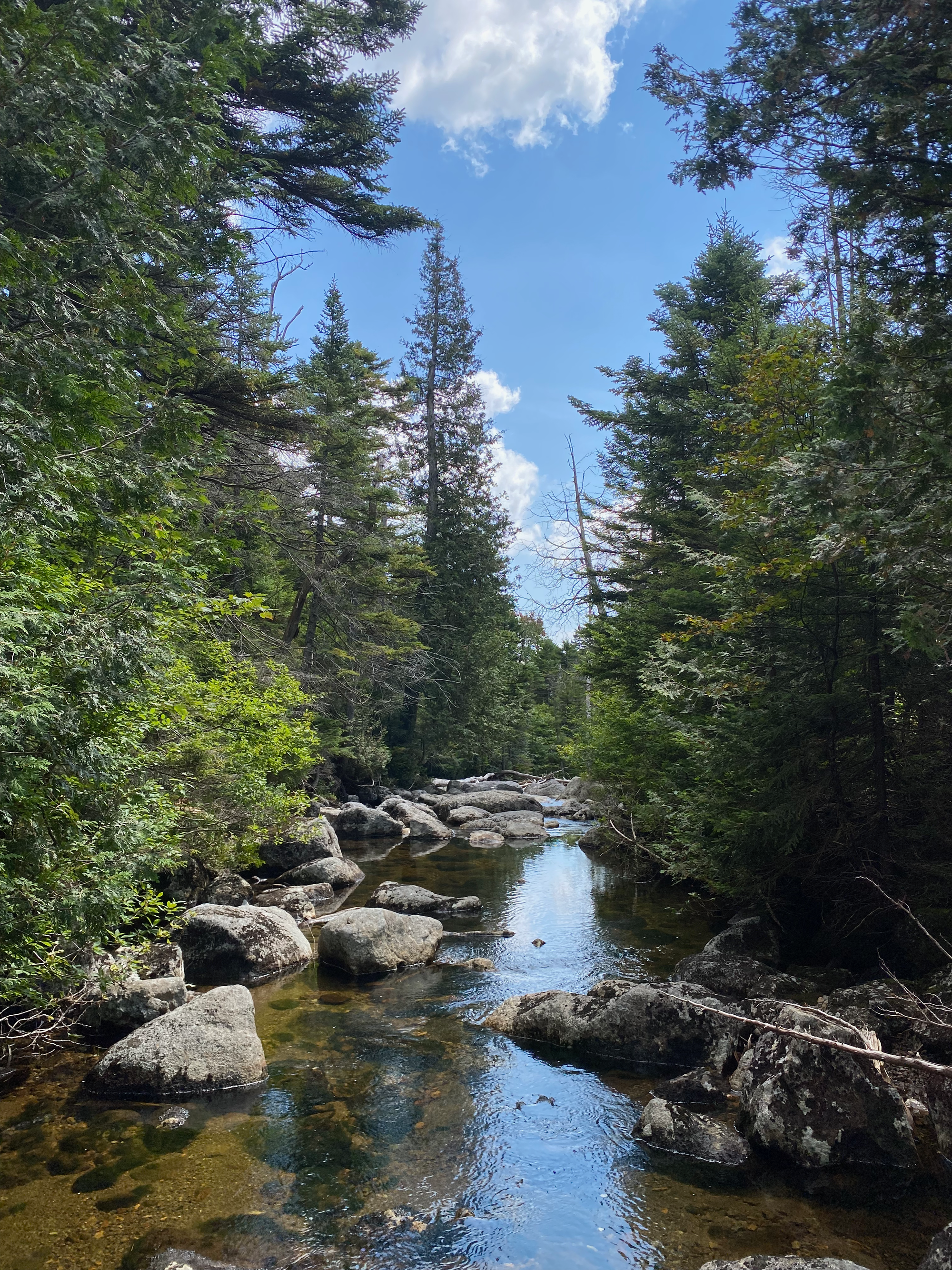
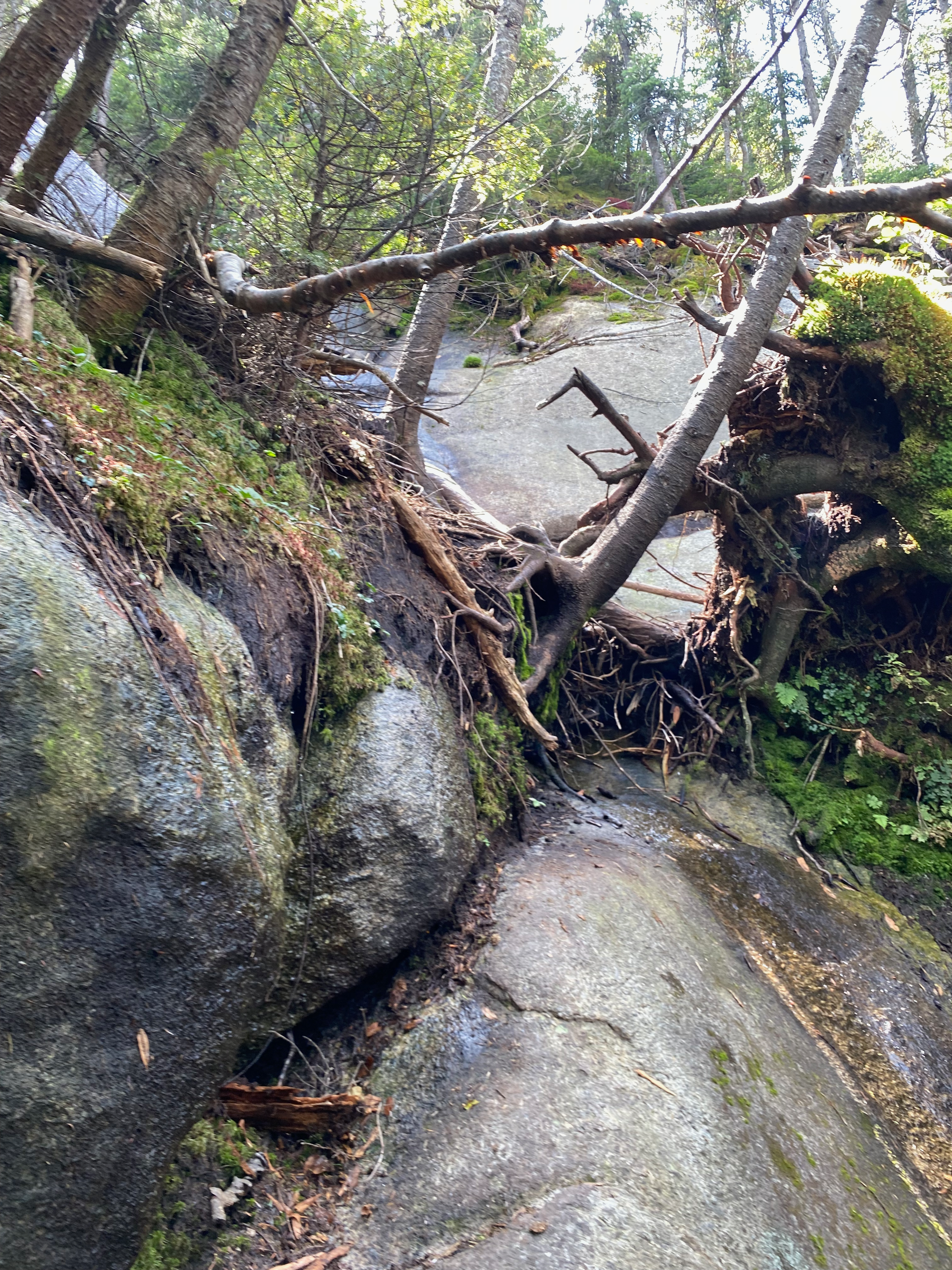
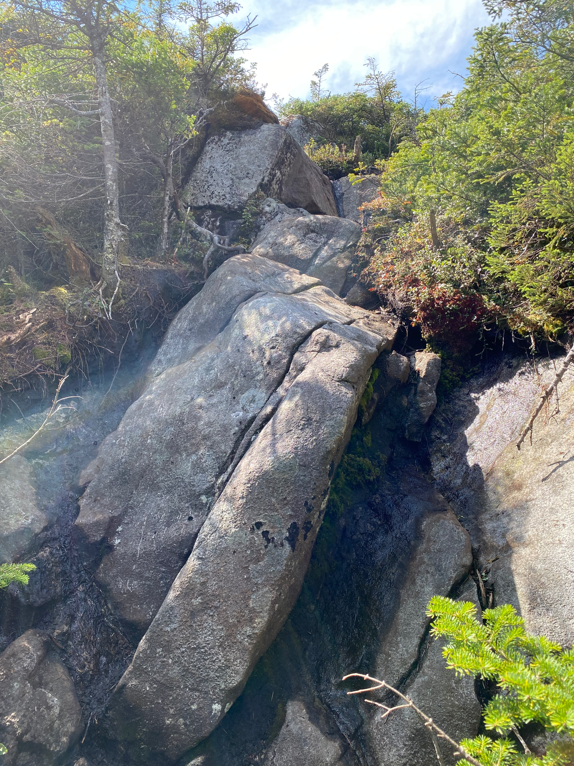
The ascent was a continuous grind along a creek, then a ridge, with some bare rock sections. The actual summit of Santanoni was treed but some nice views could be found immediately to the north.
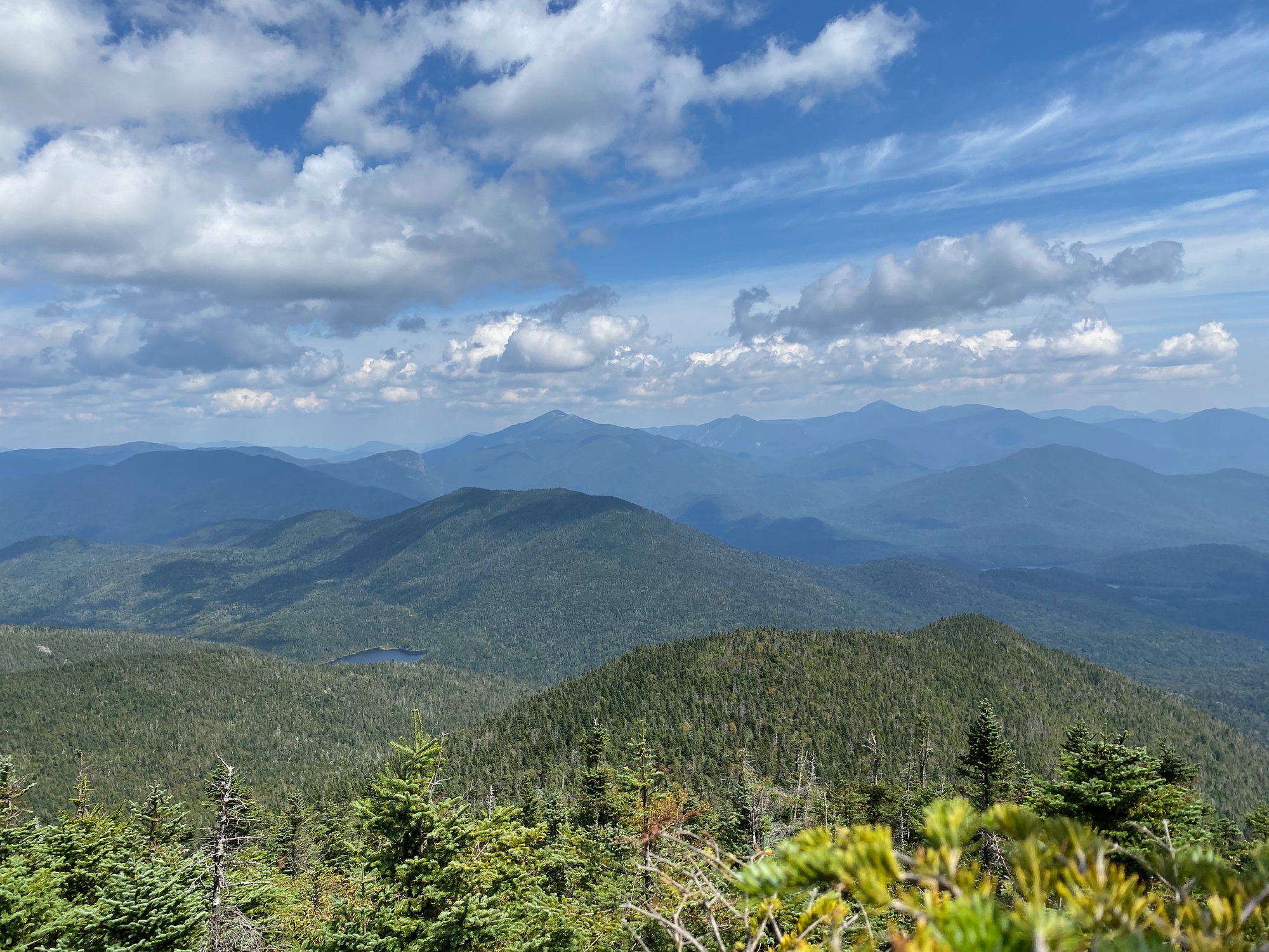

After a long lunch break I headed north to reach an area known as Times Square, where trails to Panther, Santanoni, and Couchsachraga intersect.
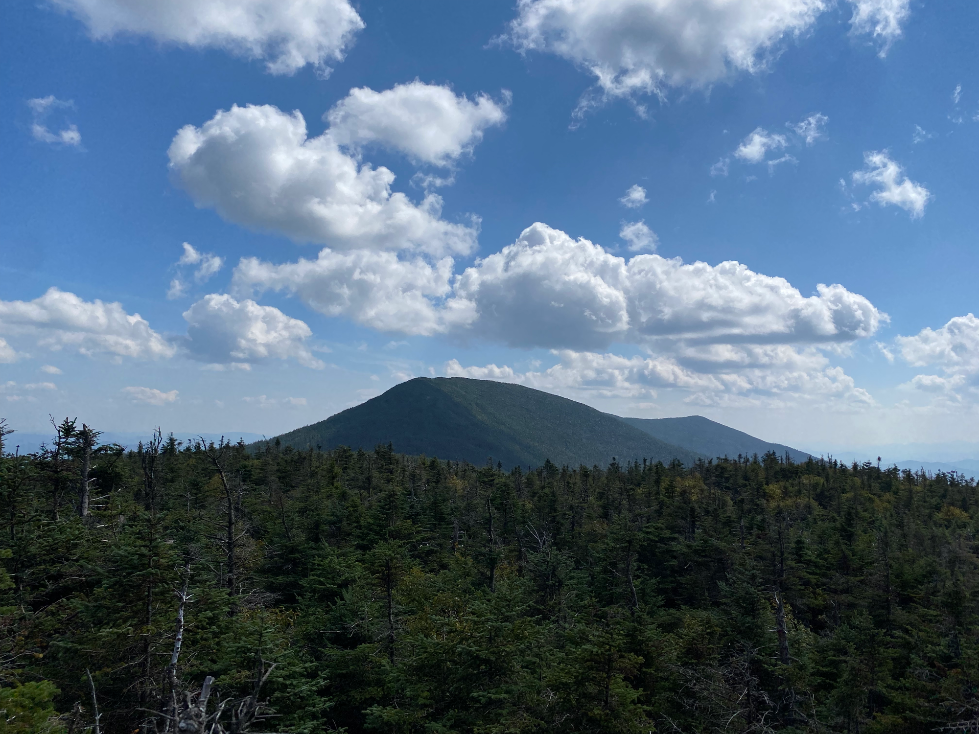
Next up: Couchsachraga Peak. This peak is too short to “officially” qualify as a High Peak (it’s only 3805 ft/1160 m) and is only on the list thanks to a surveying error. The path there started with a long, long descent from Times Square. At every step I was thinking about the returning ascent.
Despite being on a ridge, the Panther-Couchsachraga col contains a large bog. I hopped over logs and stayed dry on the way in, but on the return trip, I misjudged a log and sank up to my knees.
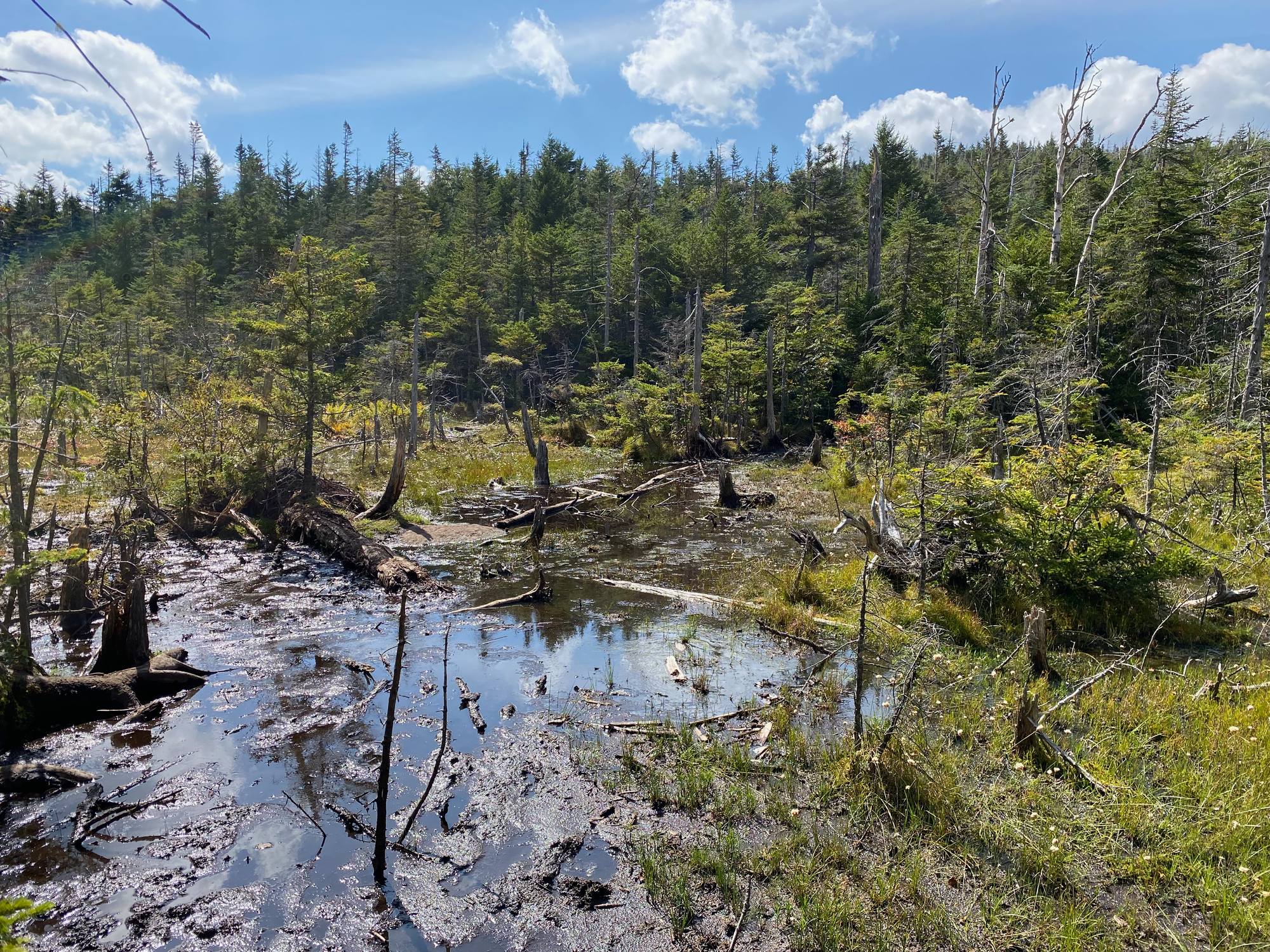
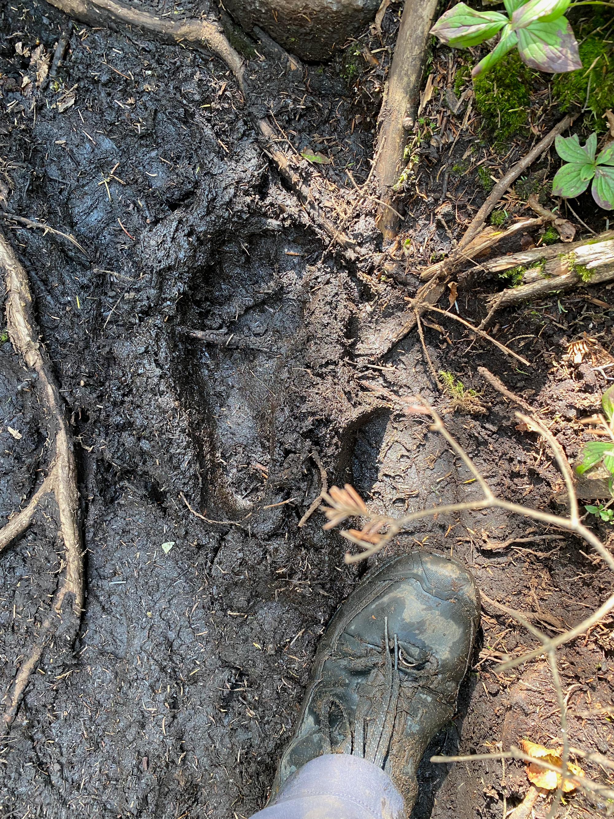
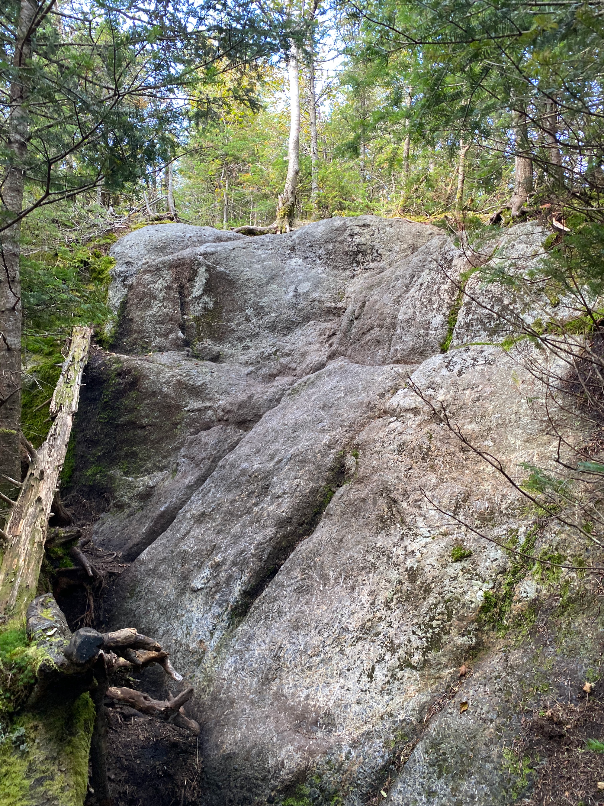
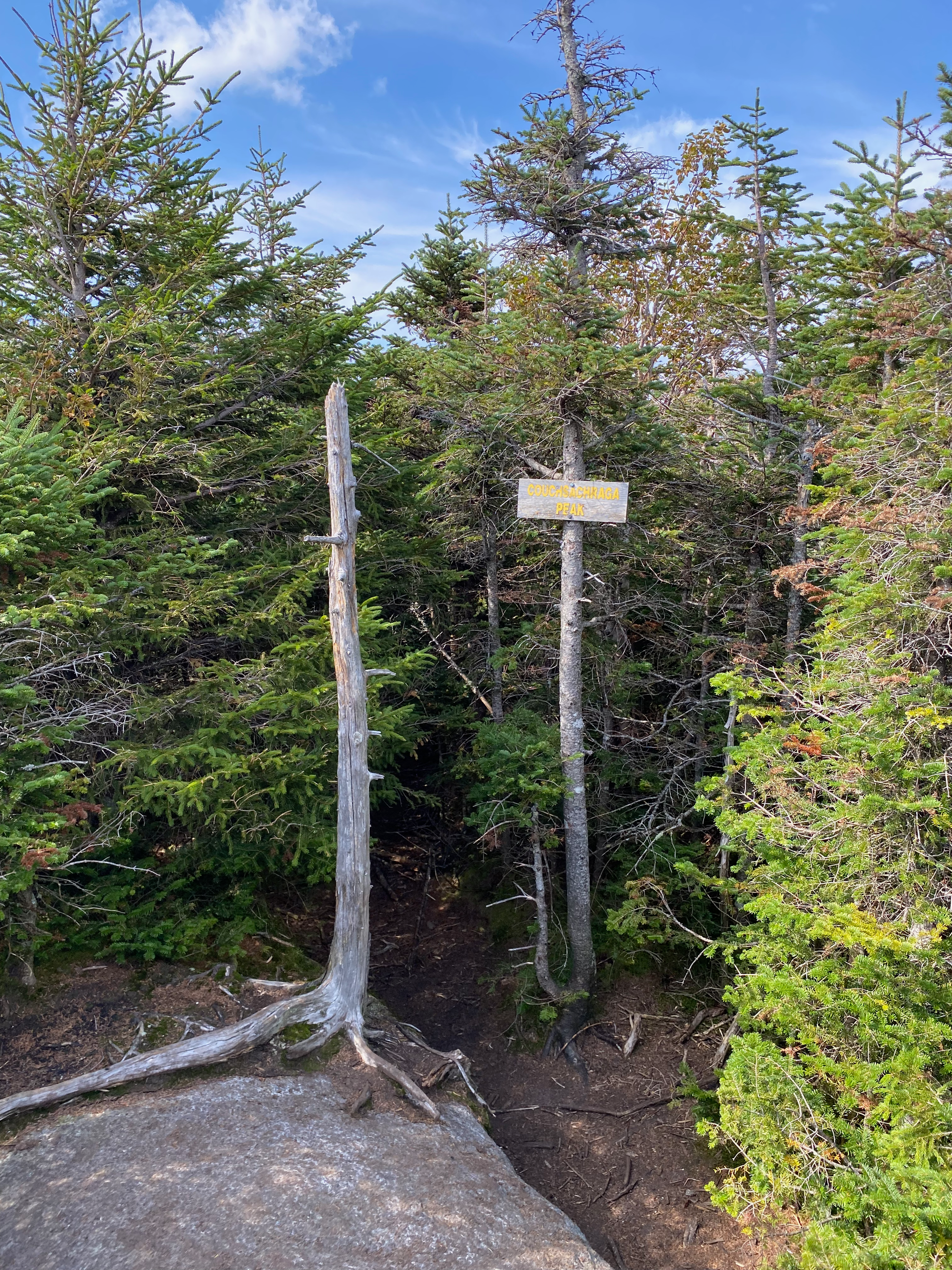
Of course the actual summit of Couchsachraga is forested with no views whatsoever. I have to say that this was the least rewarding High Peak I’ve ever done.
On the way back I saw some sort of weasel on the trail, which quickly ran away when it heard me.
Once at Times Square, I went north to “Herald Square”, the junction to Panther Peak and the Panther Brook herd path. Panther was a quick ascent from there. Panther Peak had the best views of the day, with a 180 degree panorama to the west and south immediately before the summit.
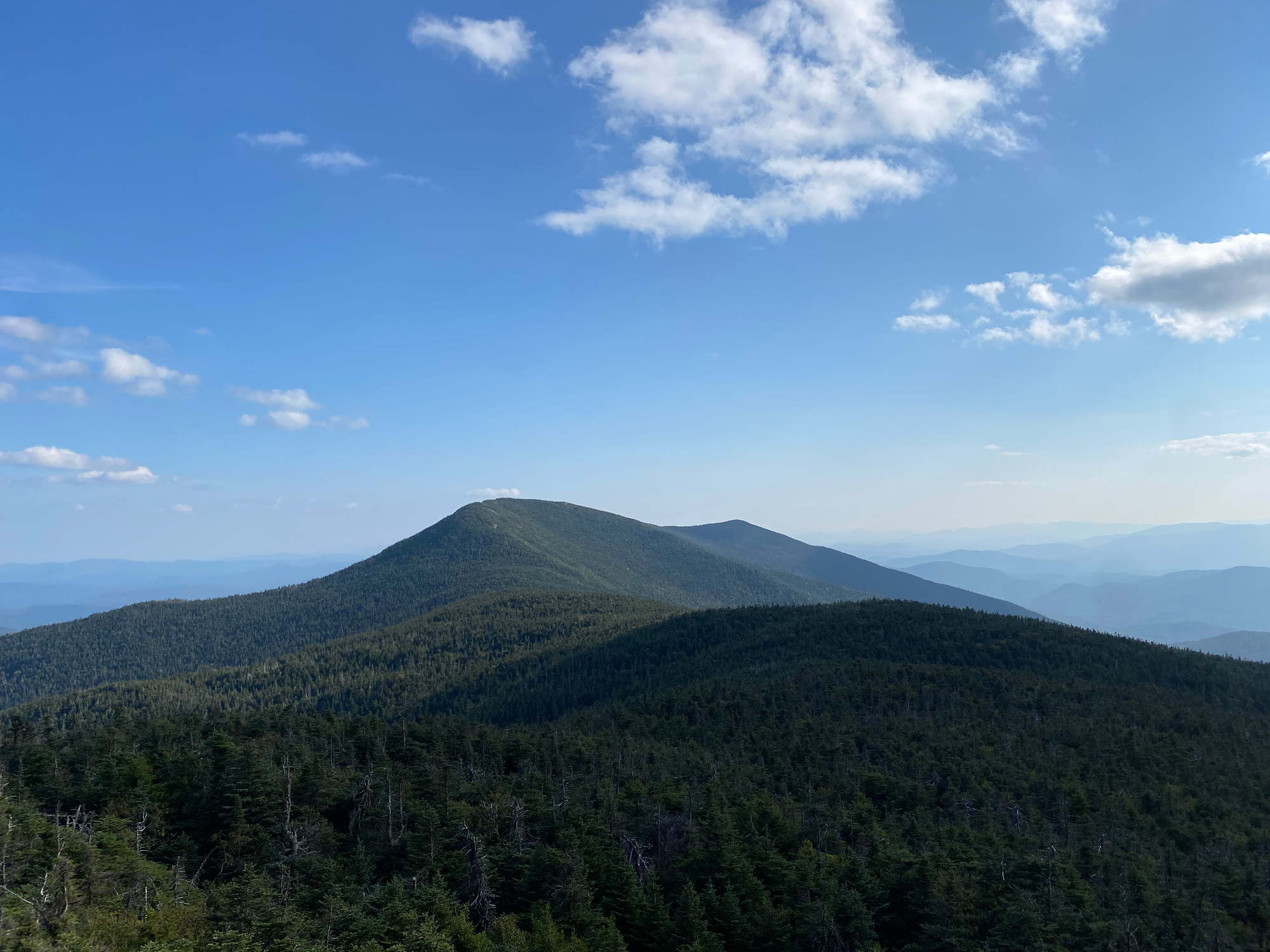
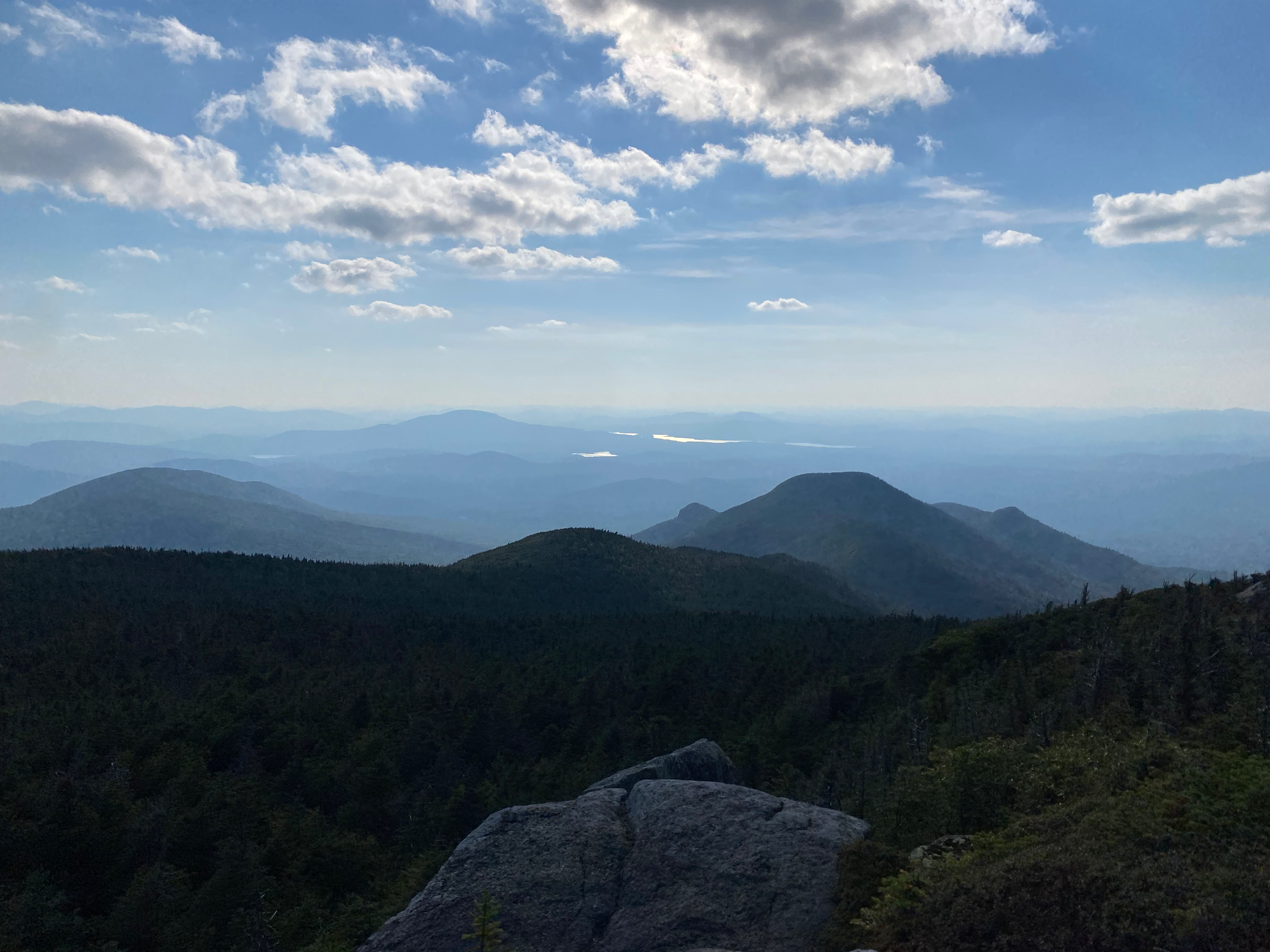
I returned to Herald Square and went down the Panther Brook herd path to rejoin the main trail. This was your typical Adirondack herd path with lots of rocky sections. At one point it made a detour around Bradley Pond, resulting in an unexpected uphill stretch. Eventually I made it back to the Bradley Pond trail and jogged back to the car, arriving just before sunset.
As I drove back to Montreal, I saw flashes of light in the distance. As I approached the south shore, the thunderstorm reached me. Thus began the scariest drive I’ve ever done in Montreal, and that’s saying something! Lightning struck all around my car, torrential rain poured down, and the lines on the road became invisible. As I drove across the bridge the storm passed. I quickly returned the Communauto and made my way to my friend’s house, arriving around midnight (sorry!)


Member discussion