Mt. Crickmer
December 17, 2023
Distance: 18.94 km (About 10km biking, 9km hiking)
Elevation gain: 1449 m
A great shoulder season adventure!
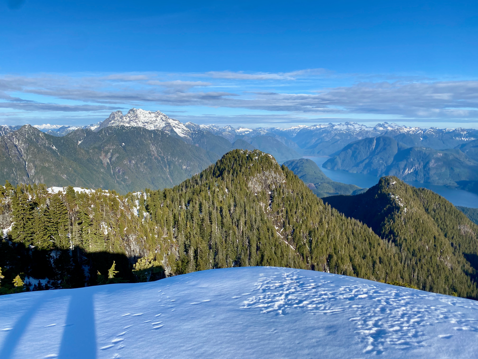
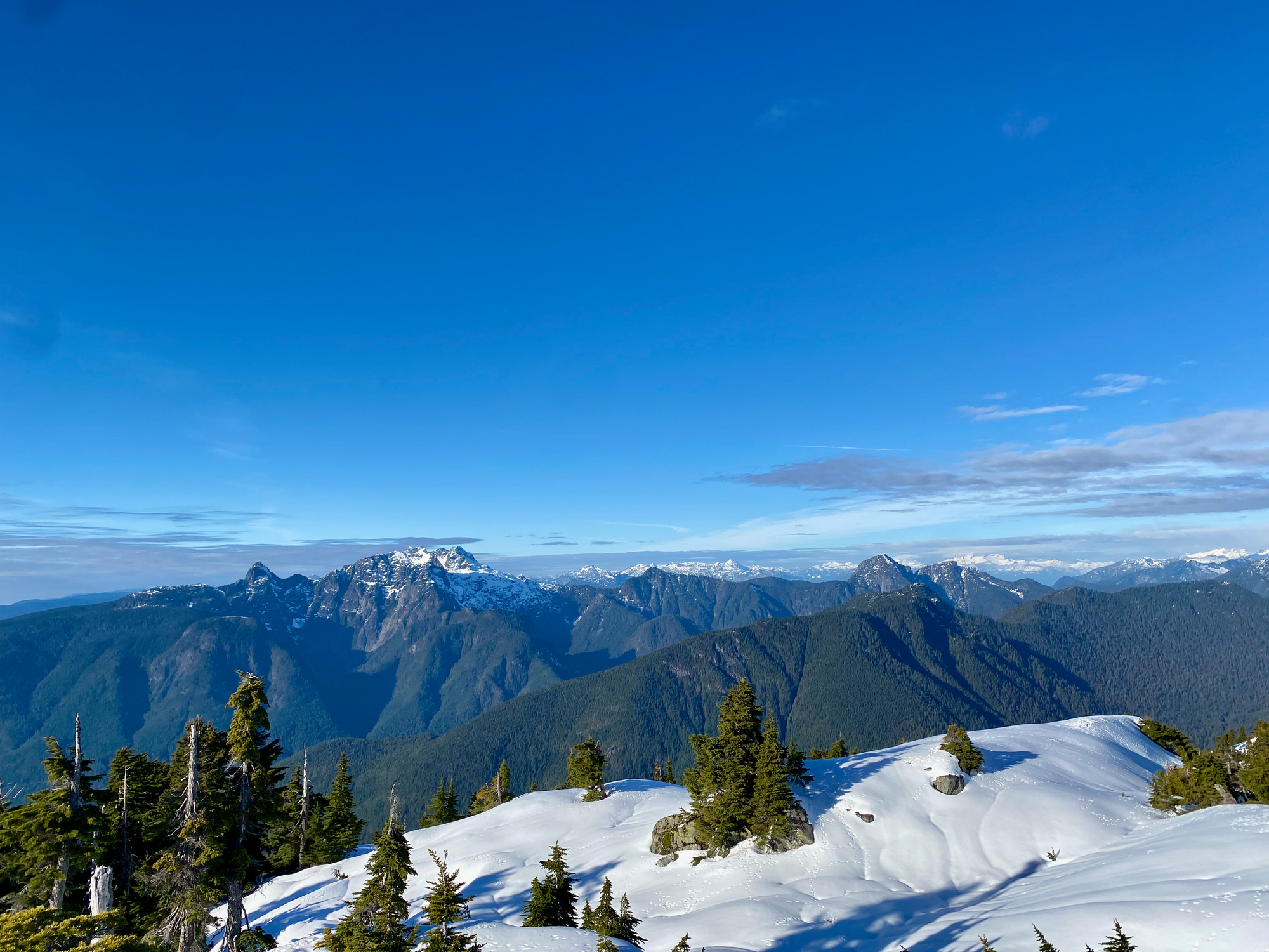
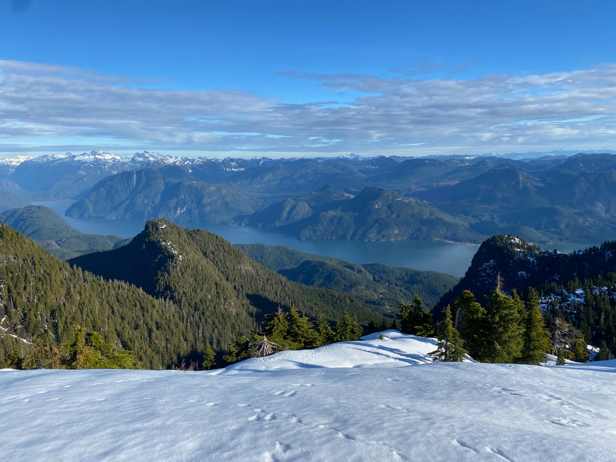
Mt. Crickmer is the highest peak between Alouette Lake and Stave Lake, offering 360 degree views of Stave Lake, Robie Reid, Golden Ears, and more.
The trail is accessed by the Florence Lake FSR, which starts at the Stave Falls generating station. The approach was interrupted by a film crew filming a car commercial on the road. We drove around this obstacle and made it to the trailhead, a gated logging road at 49.282356, -122.361803.
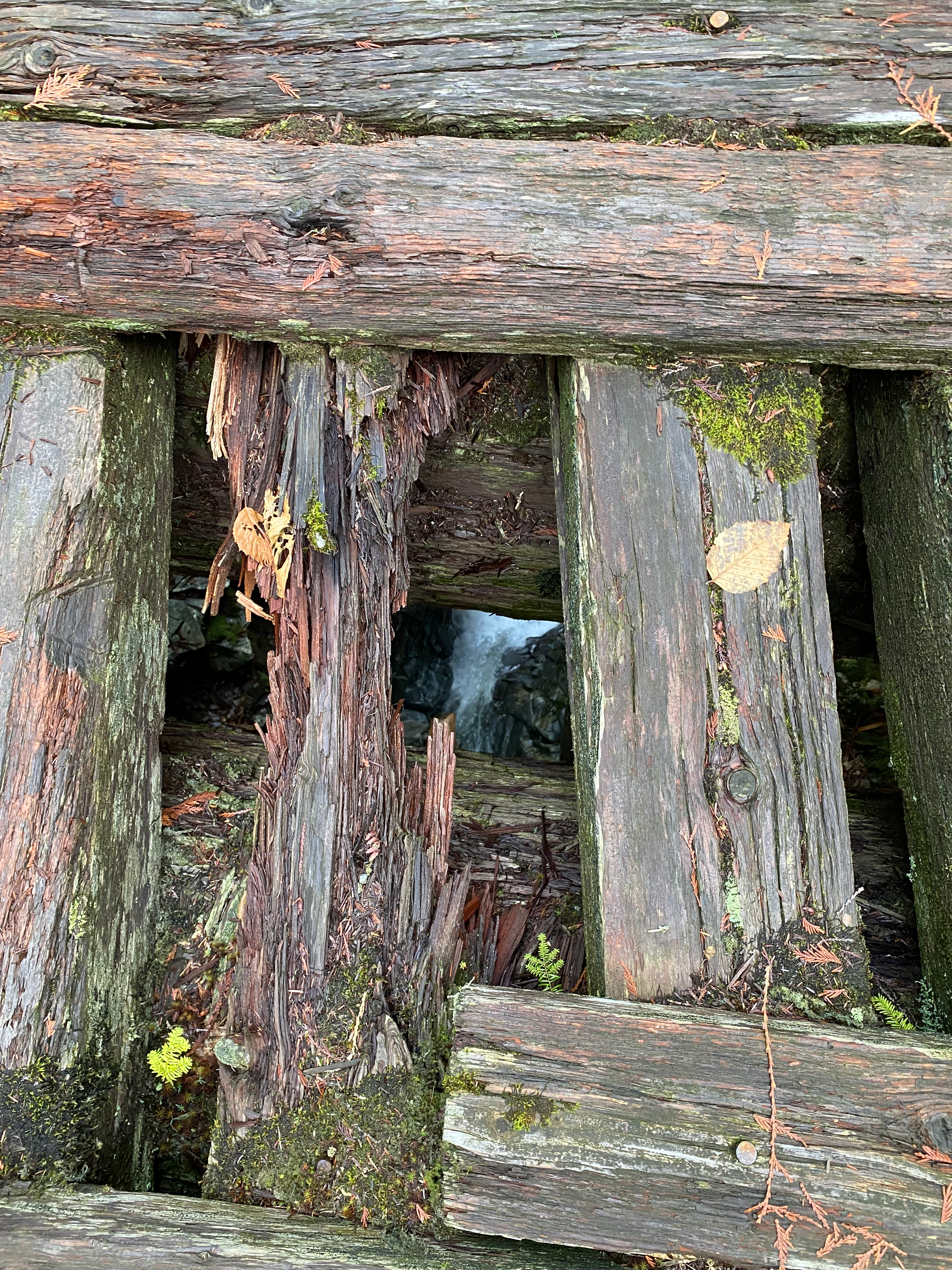
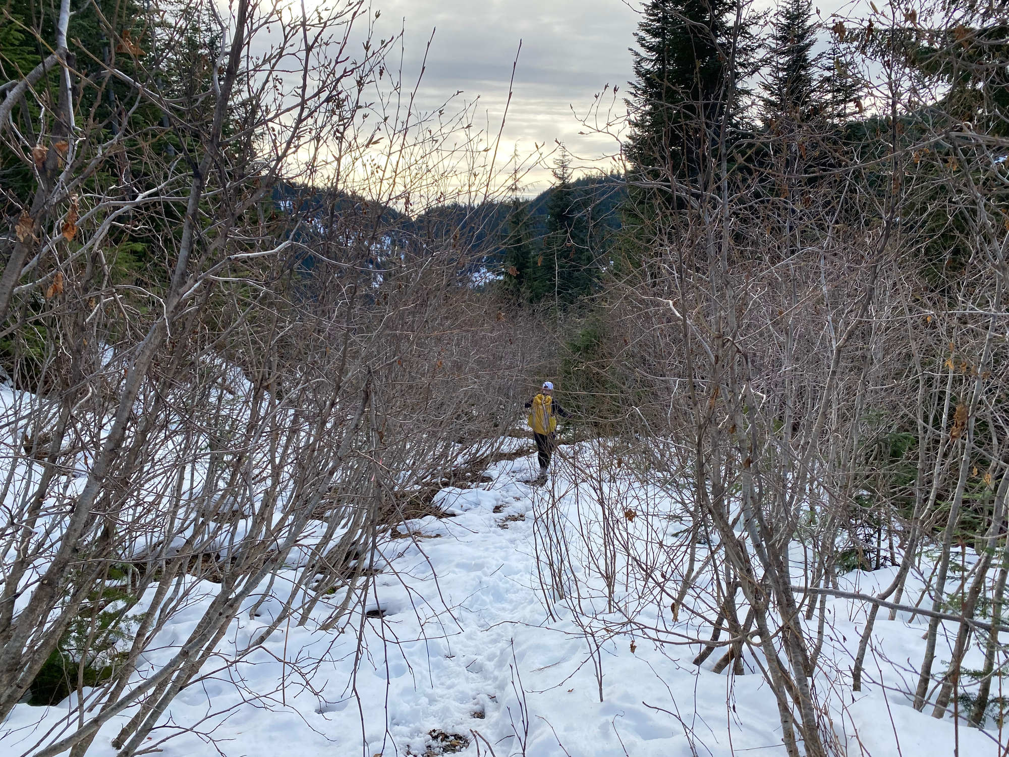
We pushed bikes 5km up the logging road (K100) then walked along an overgrown FSR with lots of mild alder bushwhacking. After about 5km the trail follows a much more overgrown logging road, with several washouts and bypass trails. We crossed a sketchy bridge over Kearsley Creek.
The road continues to ascend for another kilometre or so before reaching the first of about 10 creek crossings, which were especially annoying with the snowbanks.
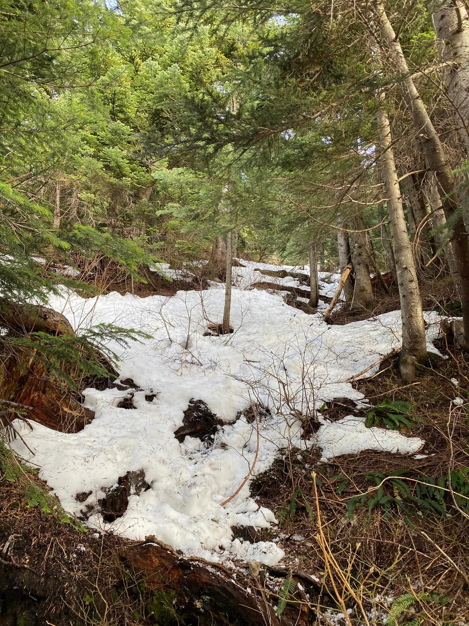
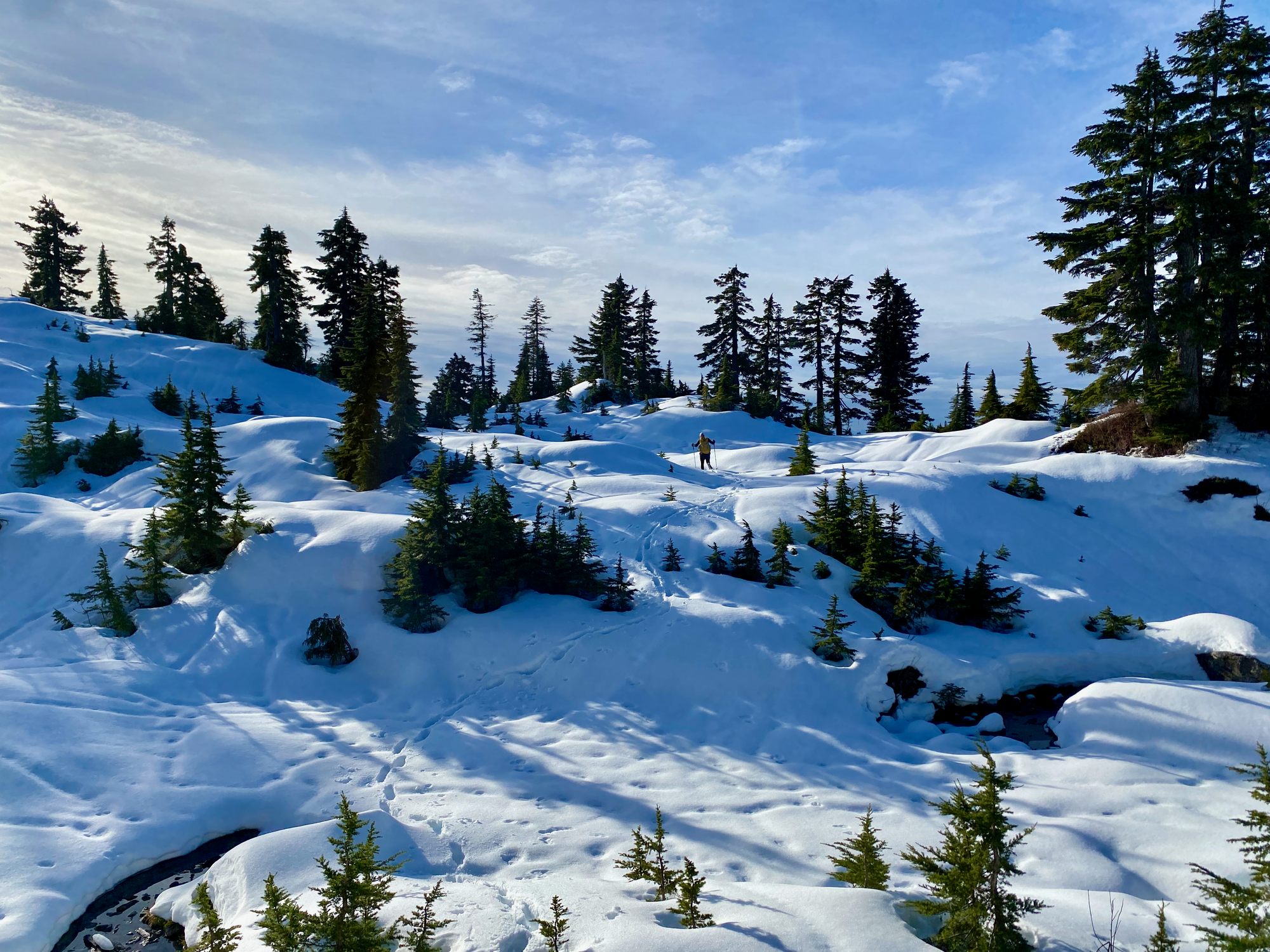
The road switchbacks around the 1040 metre level. Just past the switchback, the trail leaves the road and starts to steeply ascend the ridge. The snow was quite deep in places, which was annoying, but the trail is very well-flagged.
Eventually the trail leveled out before the final push to the summit, again steep but well-marked.
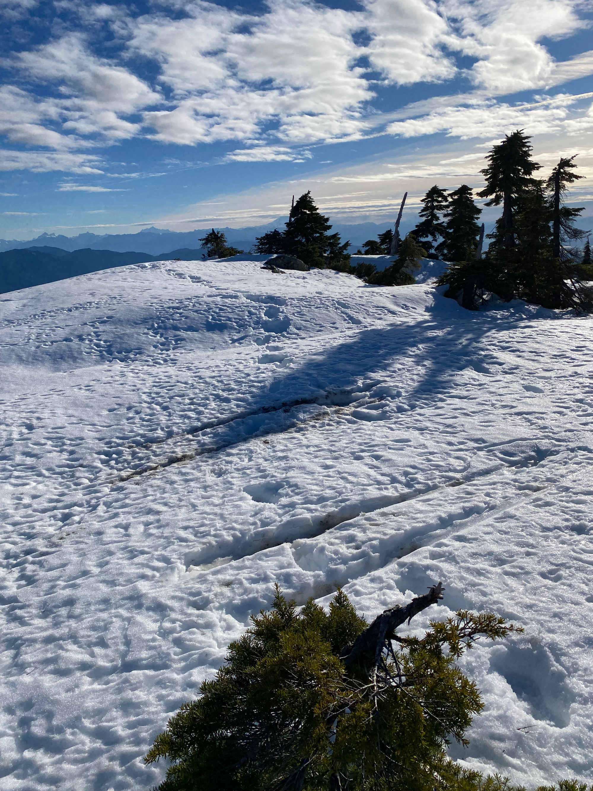
The summit barely pokes out above treeline and we were treated to excellent views at the last second.


Member discussion