Mount Van der Est
Date: January 19, 2025
Distance: 25km
Elevation gain: 1870m
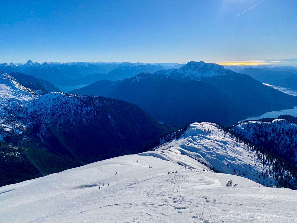
Mount Van der Est is an obscure peak in the Coast Ranges. It is located between Knight and Bute Inlets, 60 km north of Campbell River. Mount Waddington and other extremely remote coastal range peaks can be seen from its summit.
On Saturday morning, Steven Song messaged me out of the blue, inviting me to join a trip following a route done by his friend Matt a week earlier. We would leave Vancouver that afternoon and drive to Elk Bay, north of Campbell River. After an early wake-up on Sunday, we’d take a boat to a logging dock. From there, we would ascend logging roads, then bushwhack a series of bluffs and benches on Van der Est’s southeastern ridge, following the ridge above treeline to the summit. We would return to Vancouver Island around sunset on Sunday and get home that night. All in all, I would leave home, bag the peak, and return home in under 30 hours. An arctic outflow was in the forecast, offering a sunny and cloudless day with frigid temperatures and high winds.
For various reasons, I wanted to get out of town and spend a long time in nature, and this would do nicely. It would be a good way to discover a remote and extremely scenic area I hadn’t visited before, especially since the price would be reasonable. It would also be nice to climb a peak with such an experienced group of mountaineers. By 6:30pm I was on the ferry heading to Nanaimo with Steven and Kostya. We drove 2.5 hours north to Elk Bay, arriving around 11:30pm. The last few kilometres were along a FSR that is 2wd accessible but has some potholes. The boat launch was surprisingly difficult to find in the dark; it turned out to be located at a turn-off slightly to the west of the turnoff to the camping area. The gravel road just runs into the ocean. We found a campsite in the camping area, driving past a surprisingly large amount of cars for the middle of nowhere in mid-January, and set up camp.
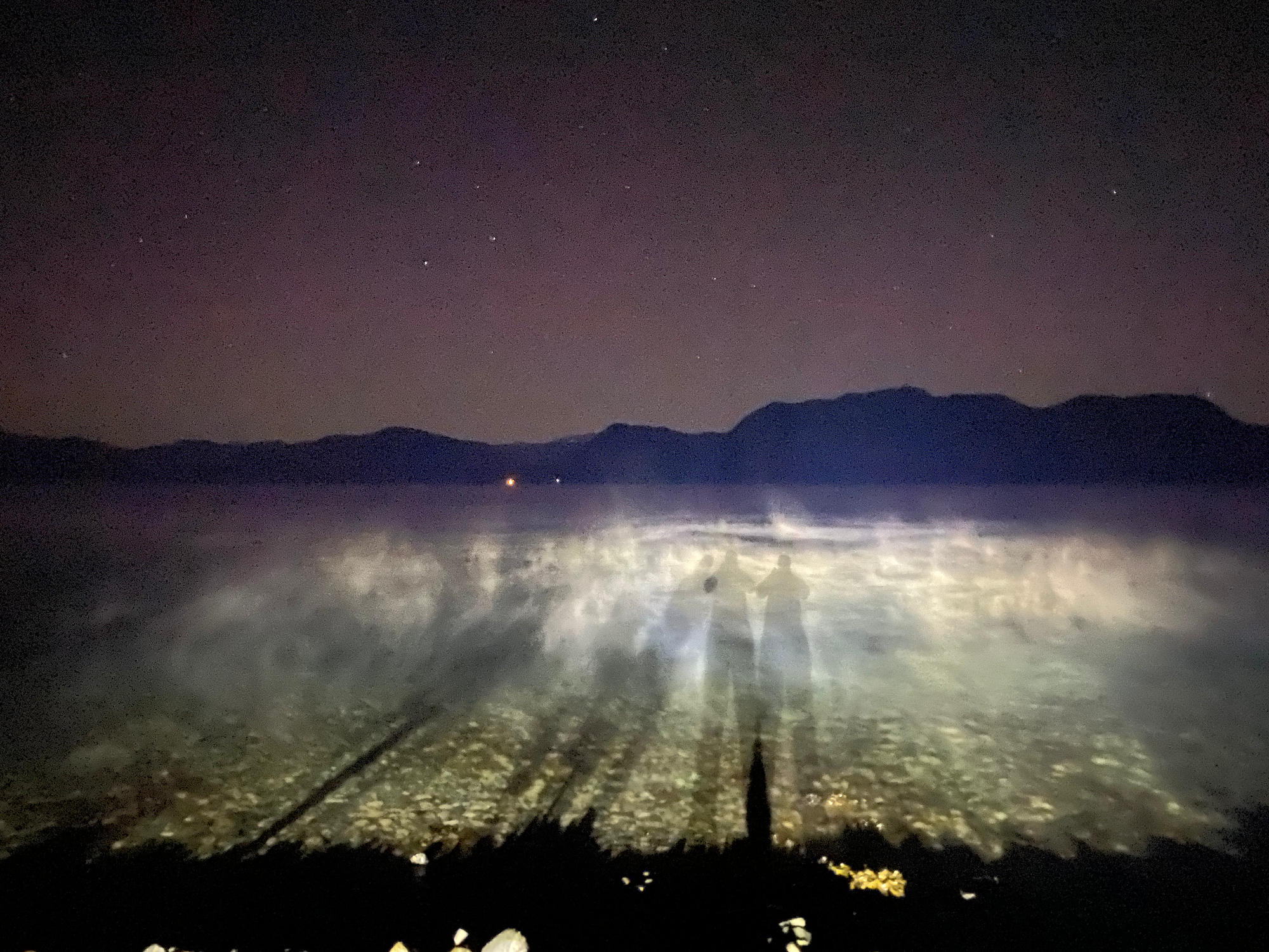
Three hours later our alarms went off. Pickup was at the bright and early time of 4am. I drank several caffeinated beverages and met Alex and Trevor, the rest of our group. The boat arrived around 4:15, and we scrambled over ice-covered rocks to board. The trip took an hour and led us past mountains looming in the dark. The boat was operated by Peter Dick (@ssfunship on Facebook and Instagram) who owns a lodge on Sonora Island.
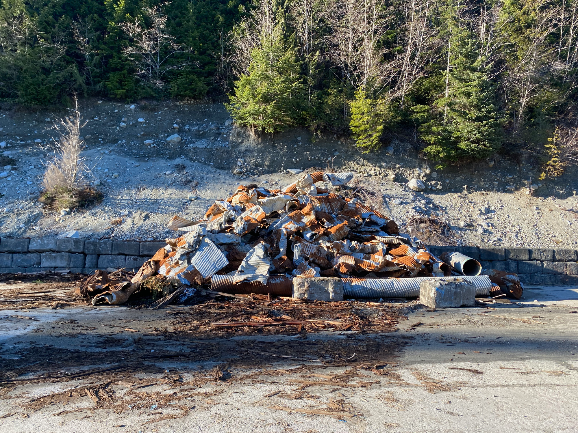
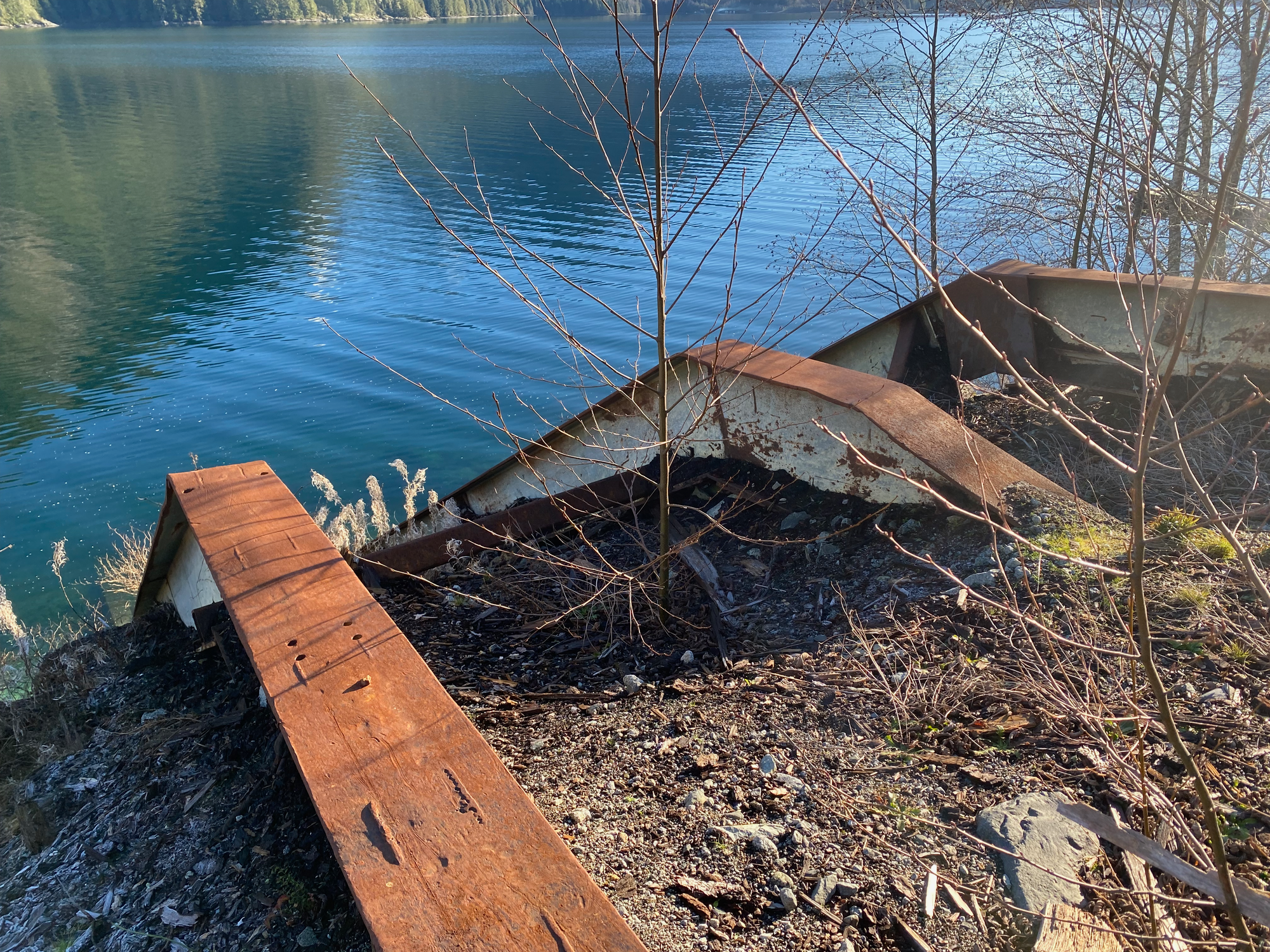
We arrived at an abandoned logging dock at the end of Frederick Arm, below the mountain. The next 6 kilometres were spent along a maze of deactivated forest service roads. Annoyingly, they would be in perfect driving or biking condition, except for large dirt walls every few metres. Every culvert has been removed and dumped in a pile at the landing. The resulting dirt walls were frozen solid on our ascent but much looser on the way down. A bike would still save some time here, but you’d have to huck it over all these ridges.
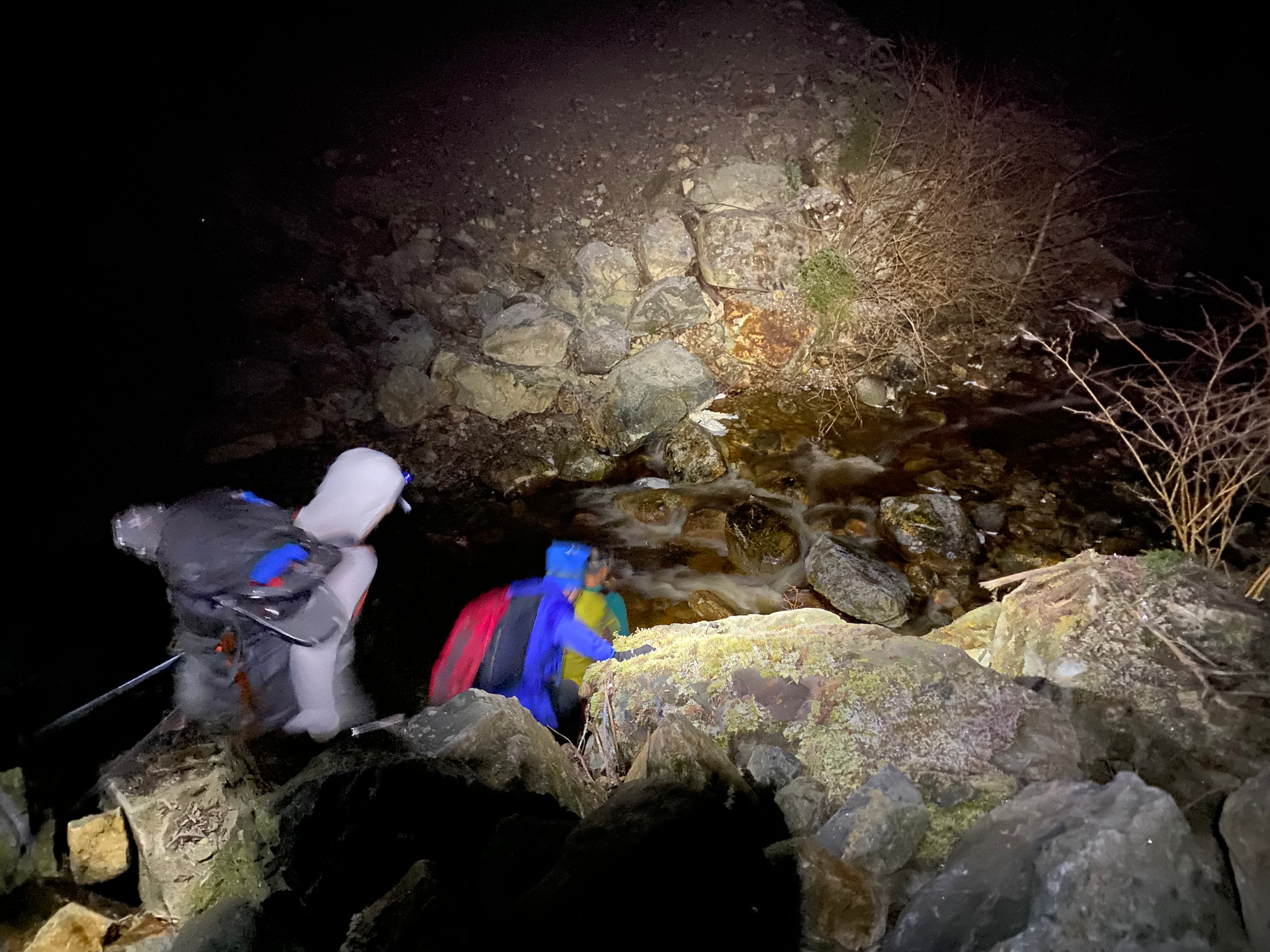
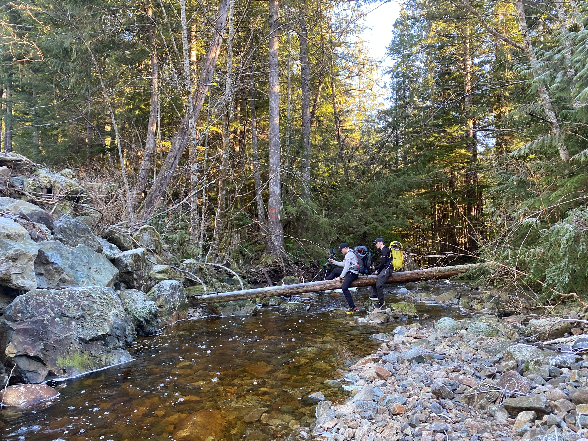
There were several creek crossings along the way. The largest creek was the first one, about one or two kilometres from the landing. We all scrambled over incredibly slippery icy rocks to make it across.
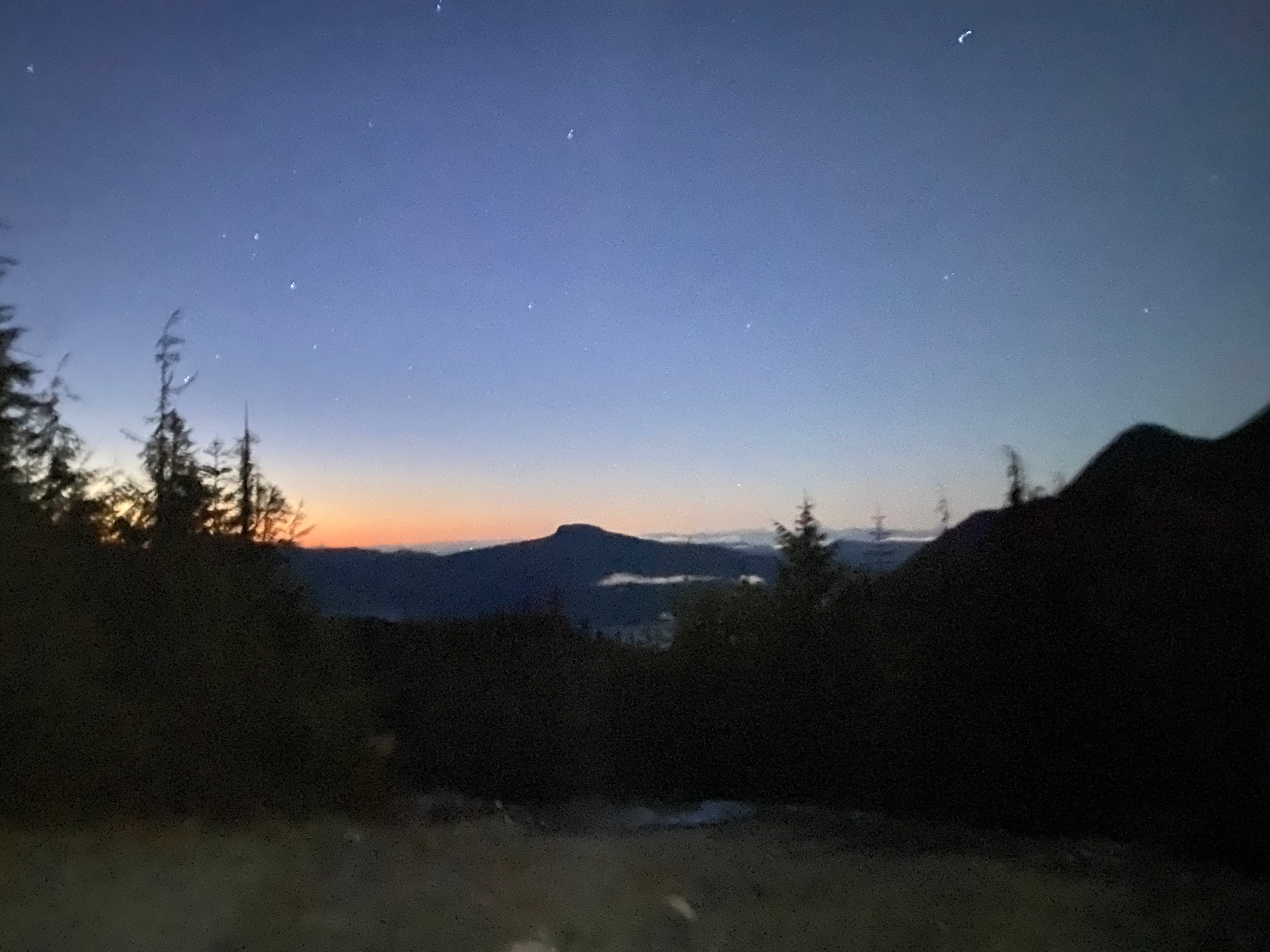
At about 700m we left Matt’s route to avoid something he described as “the swamp”. We took the left branch at a fork in the road, which had some small alders but not enough to impact our travel. As we rounded the corner, we caught our first view of our destination in the dim light.
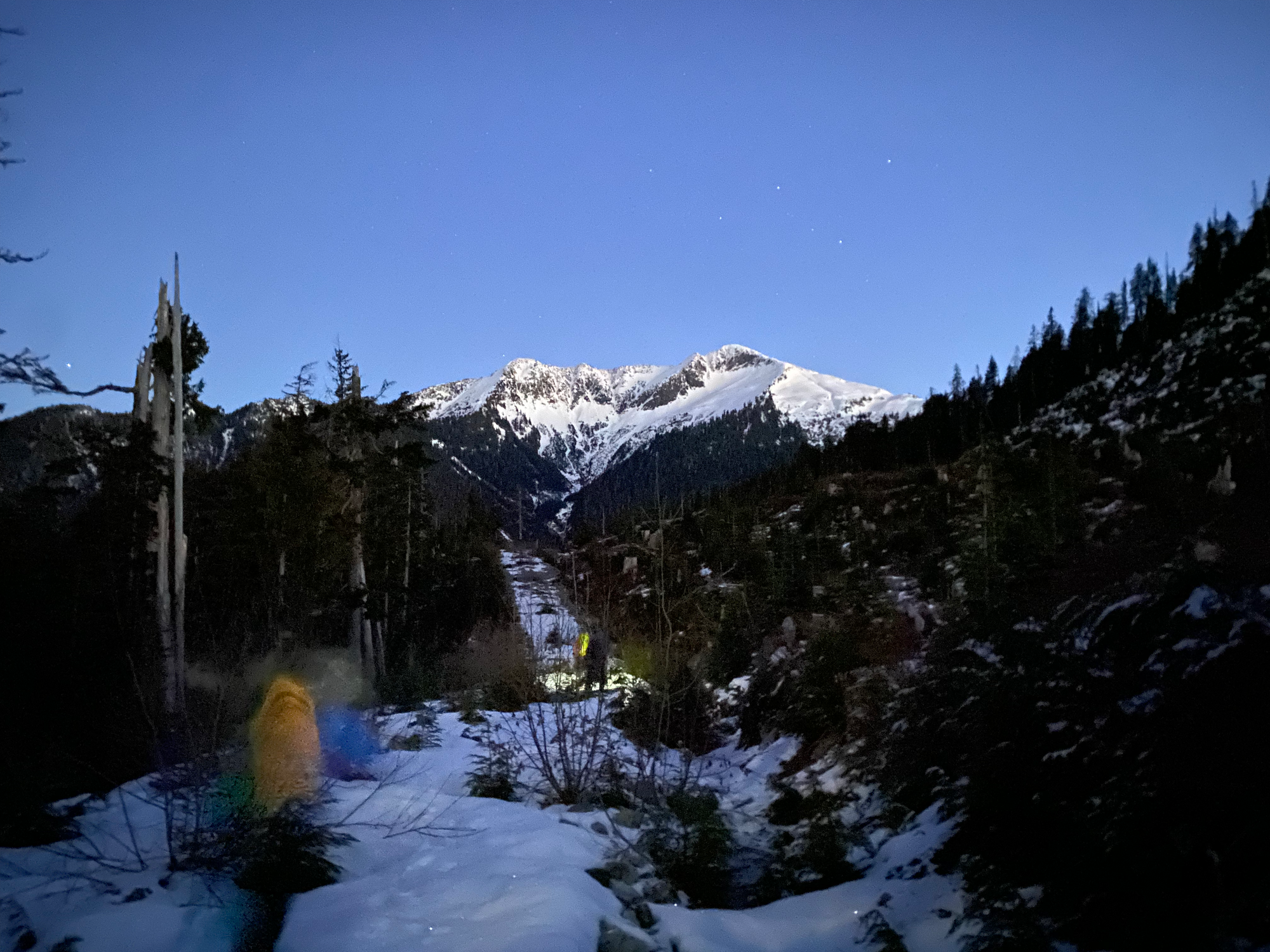
This branch faded out, and we climbed up the side of a hill through a cut block. There wasn't quite enough snow to cover the cut block and some postholing happened.
Once above the cut block, we continued through a flat swampy area of ancient forest. There were several small ponds, some of which were frozen over. At one point someone’s foot fell through the ice. The sun rose; through the trees, the distant peaks of northern Vancouver Island were bathed in an orange glow.
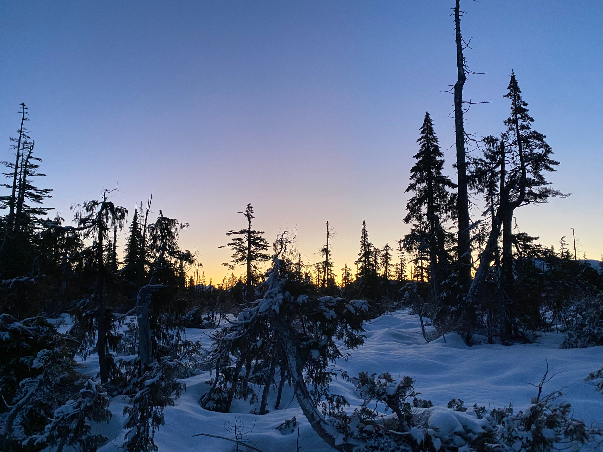
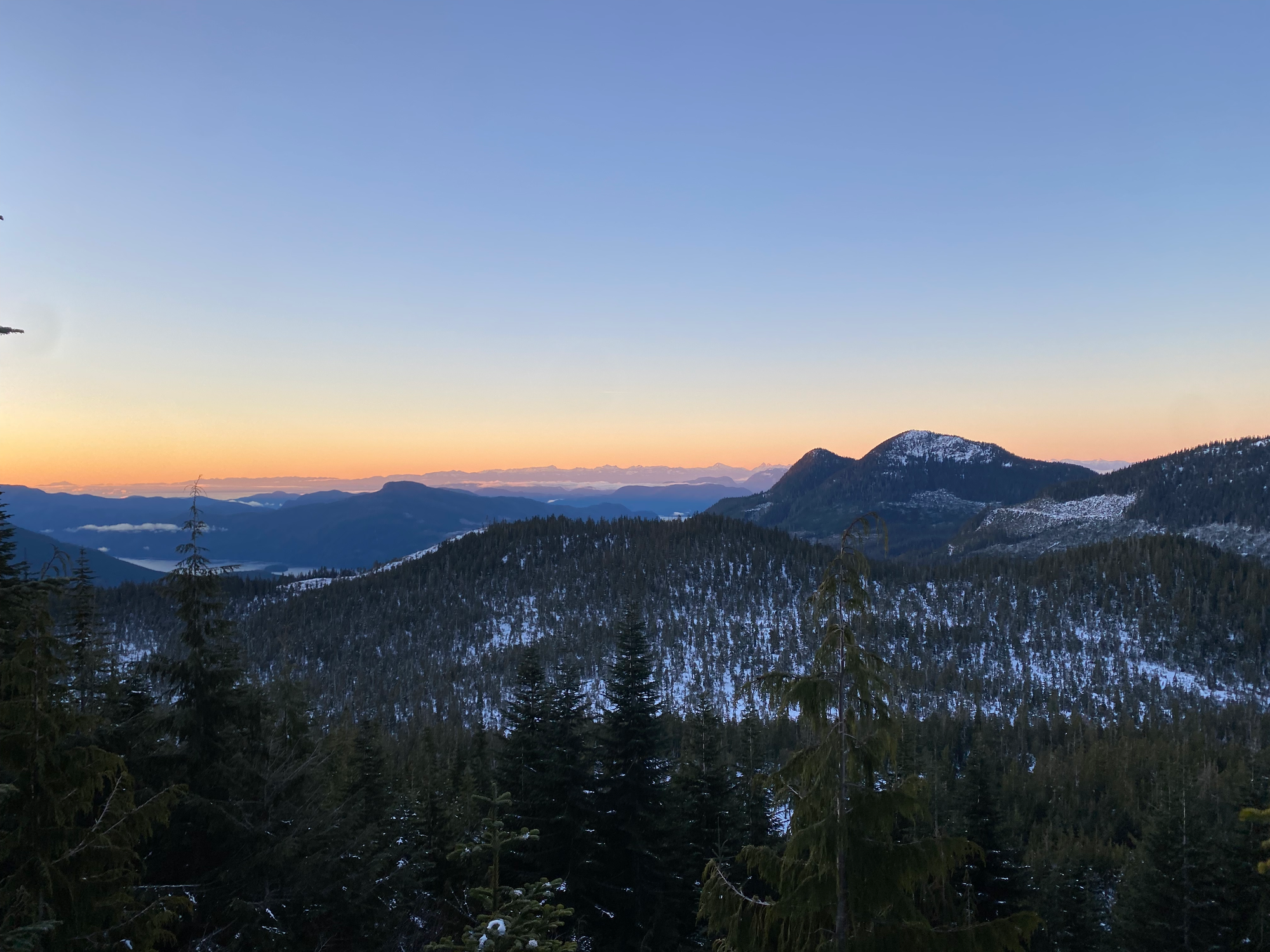
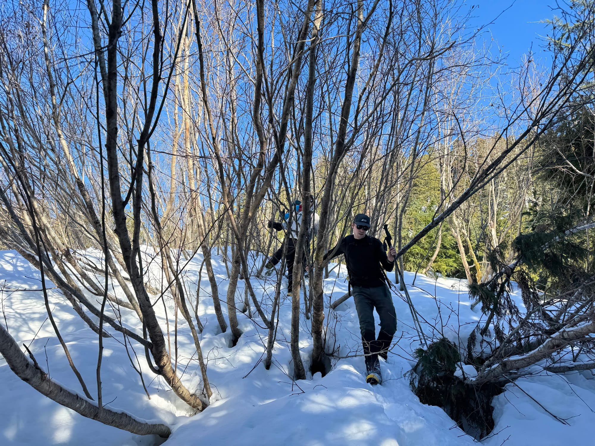
This was followed by a steep climb with one short scrambly section, which led to the tip of the SE Ridge. We left our ice axes and crampons here due to the solid snow quality, but they would be needed in icier conditions.
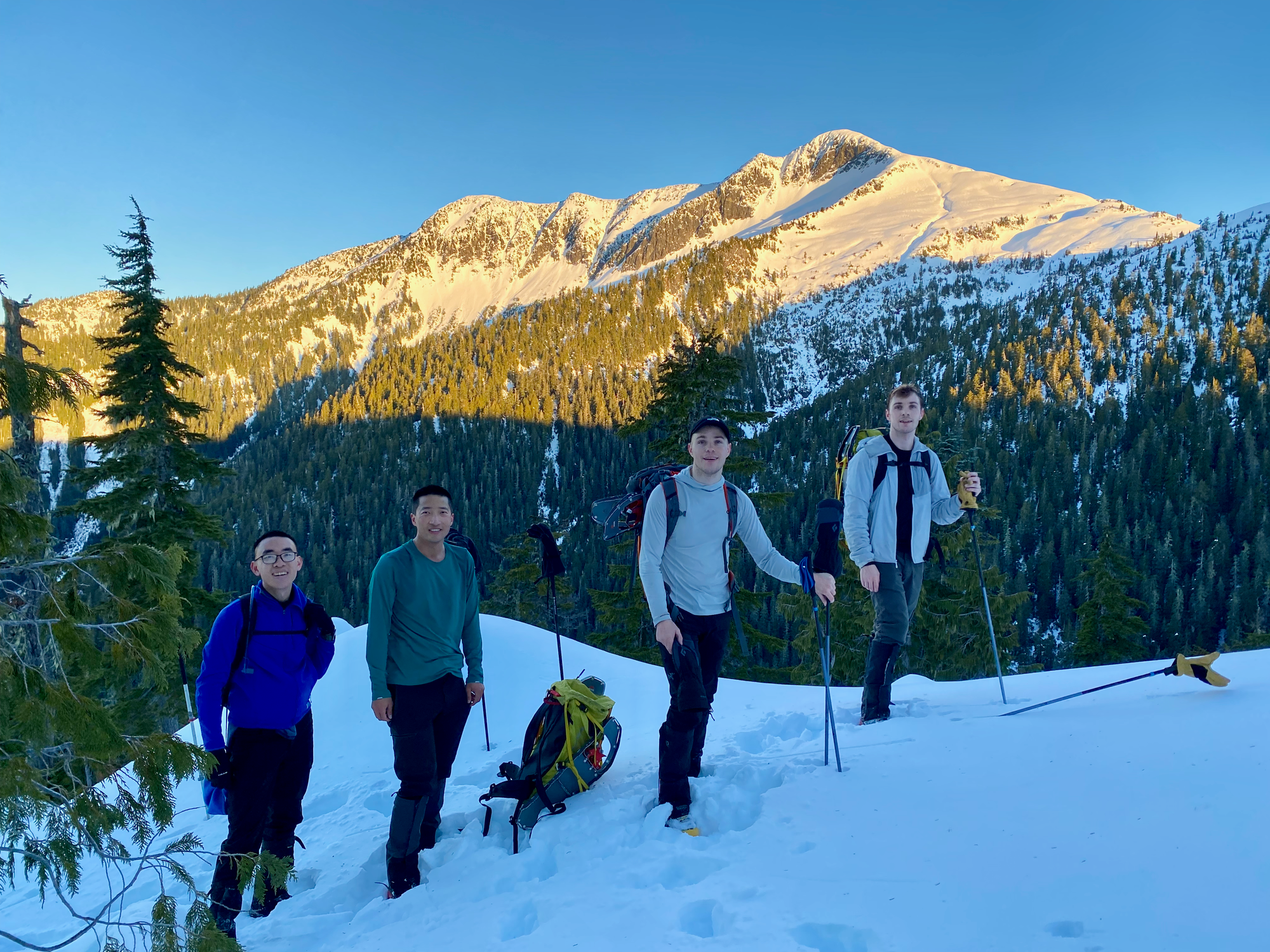
We traversed the side of the ridge and eventually came across Matt’s tracks, still discernable a week later. One more steep push followed, and we were above the tree line. The summit was still a few hundred metres above us and looked very far.
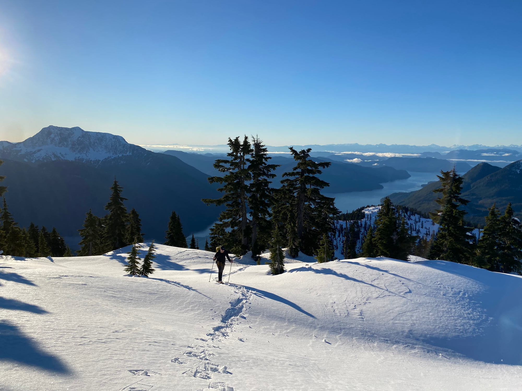
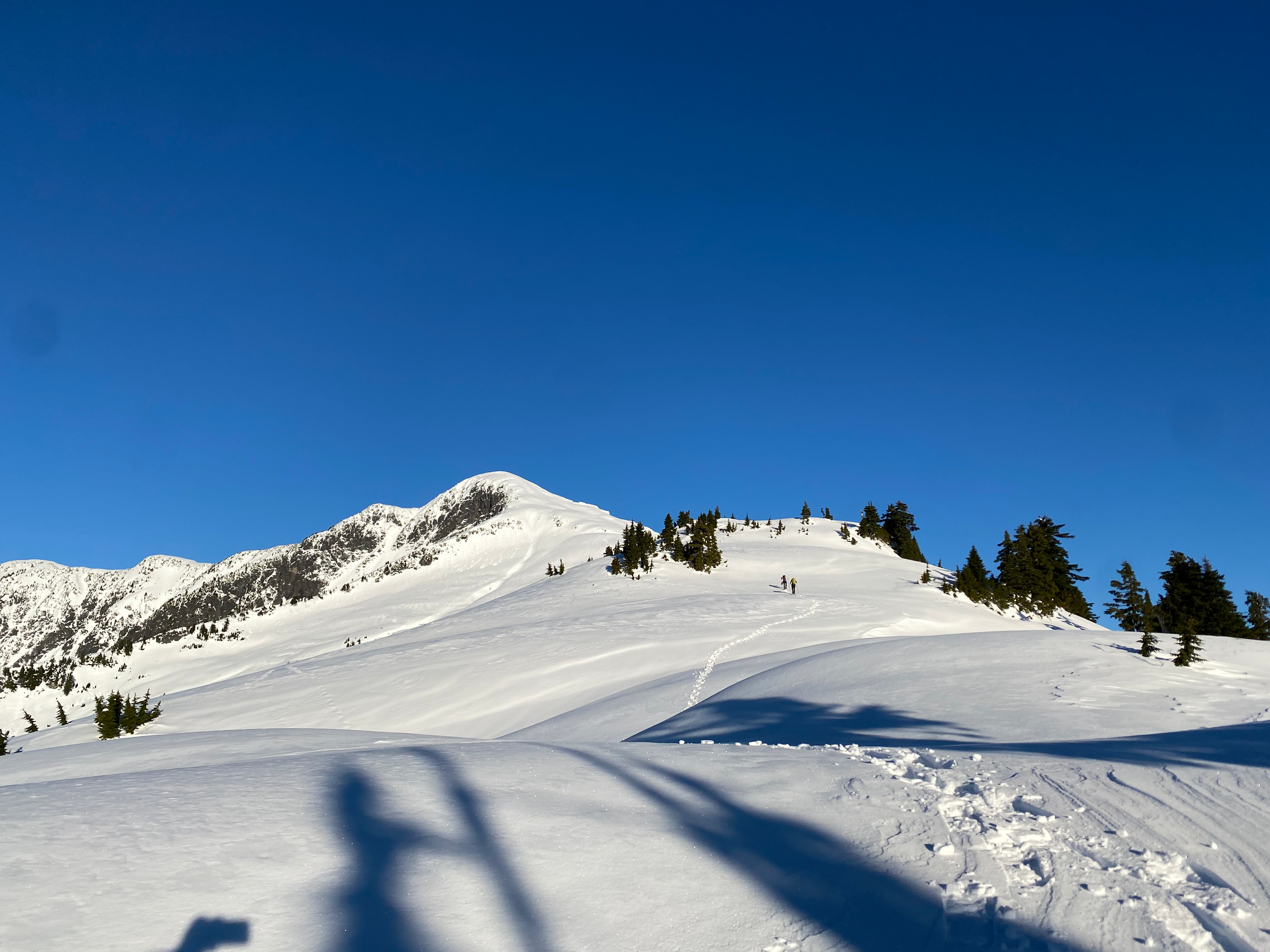
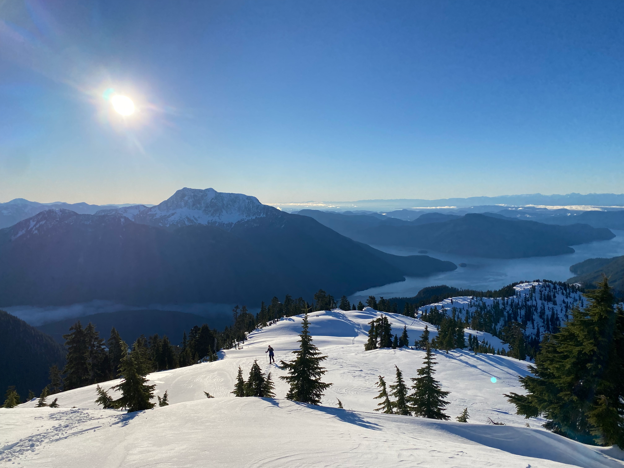
From here we went towards the peak along the ridge. We ascended, traversed, and descended a few small bluffs, but the overall route was obvious. The snow quality was perfect, able to support our weight without being icy.
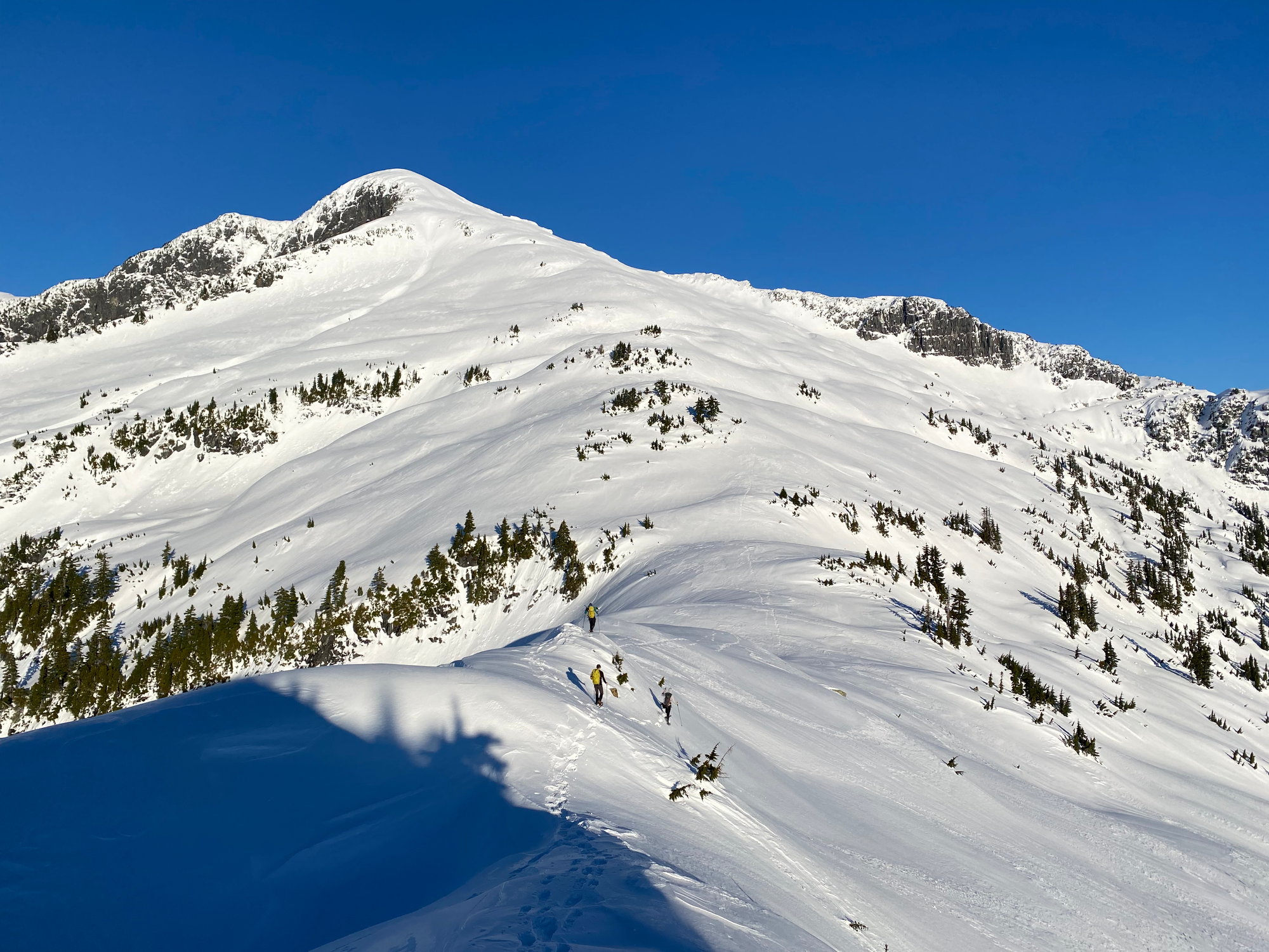
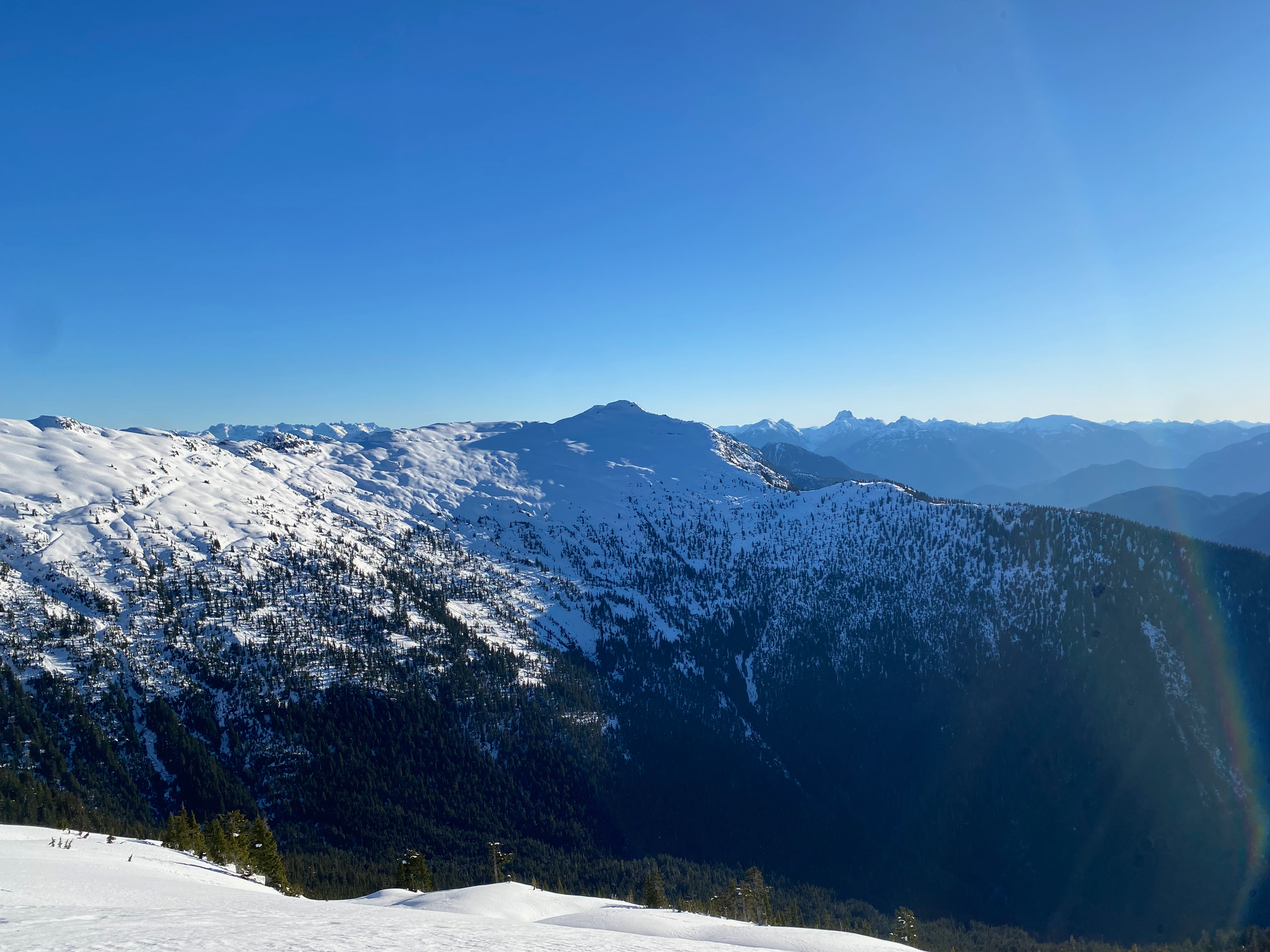
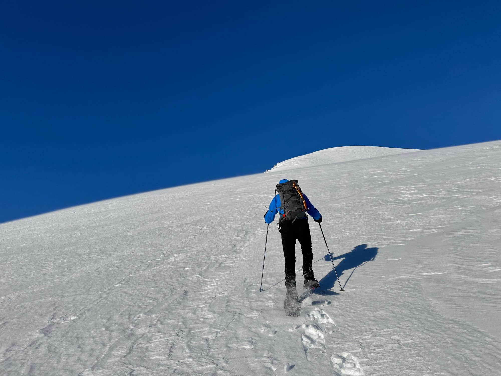
By this point, the lack of sleep last night was catching up to me. I was slightly dizzy and felt like I was at altitude. The arctic outflow winds were in full force and it took effort to stay balanced. Behind me were stunning views over the Inside Passage.
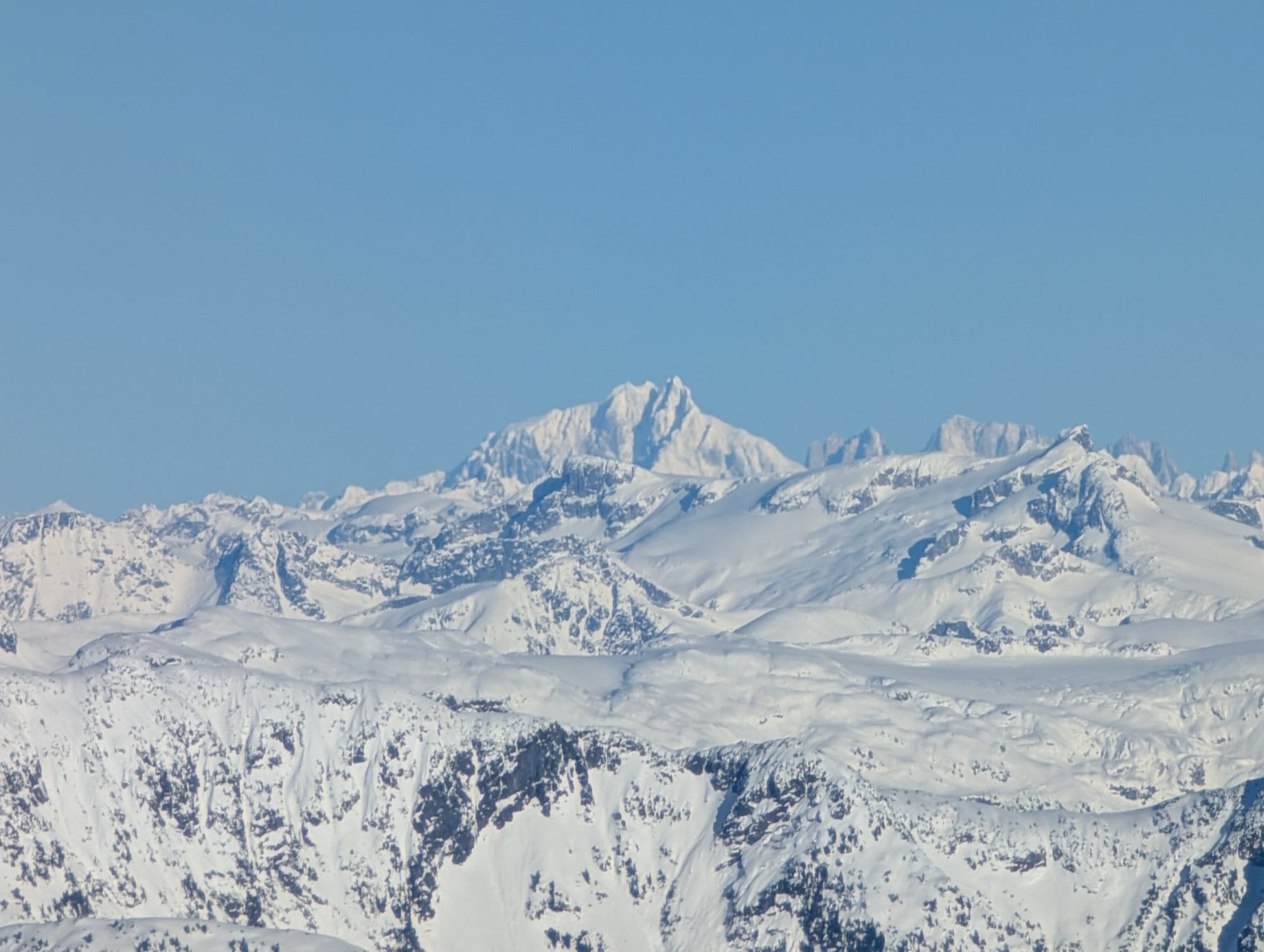
Eventually there was no more snow to ascend. I arrived at the summit and admired the incredible panorama around me. To the north were many, many extremely remote Coast Range Mountains, including Waddington. The jagged peaks of northern Vancouver Island, like Victoria and the Golden Hinde, loomed above a maze of islands and channels. Estero Peak dominated the view to the east. None of the off-island peaks were recognizable. We had brought ourselves to a truly remote place.
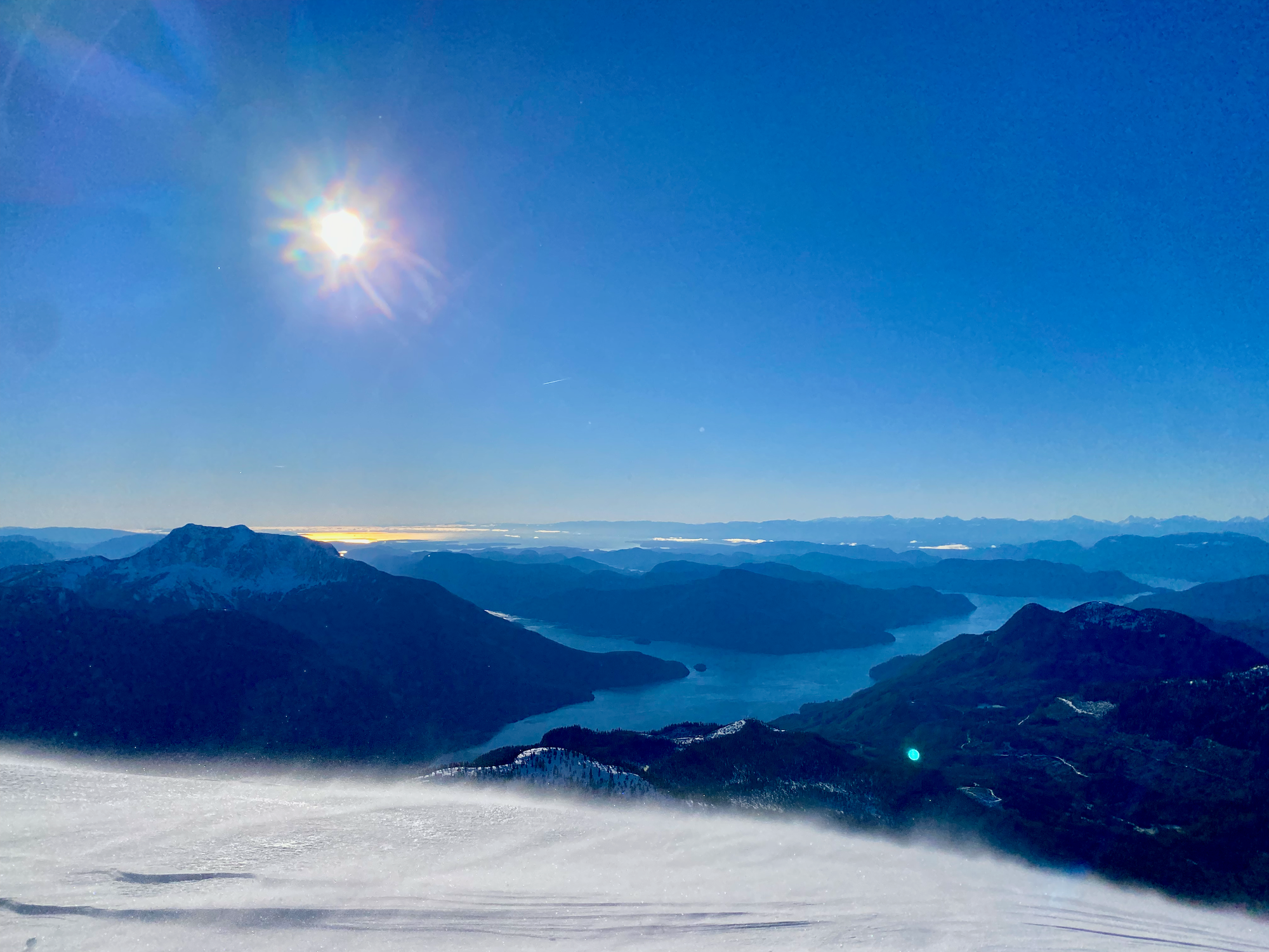
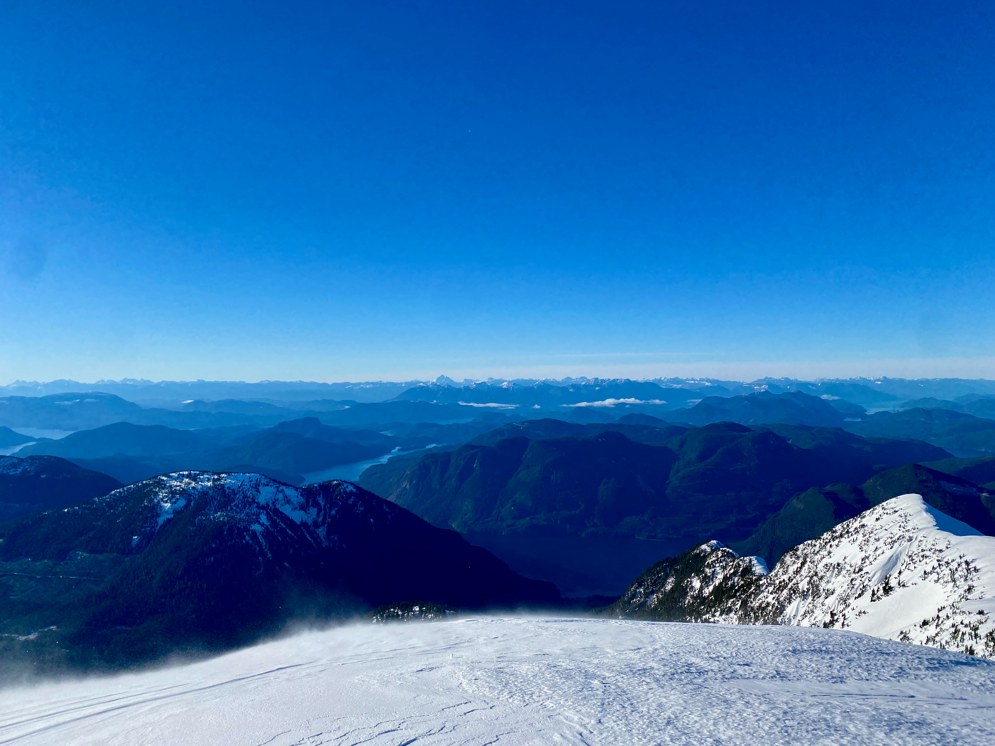
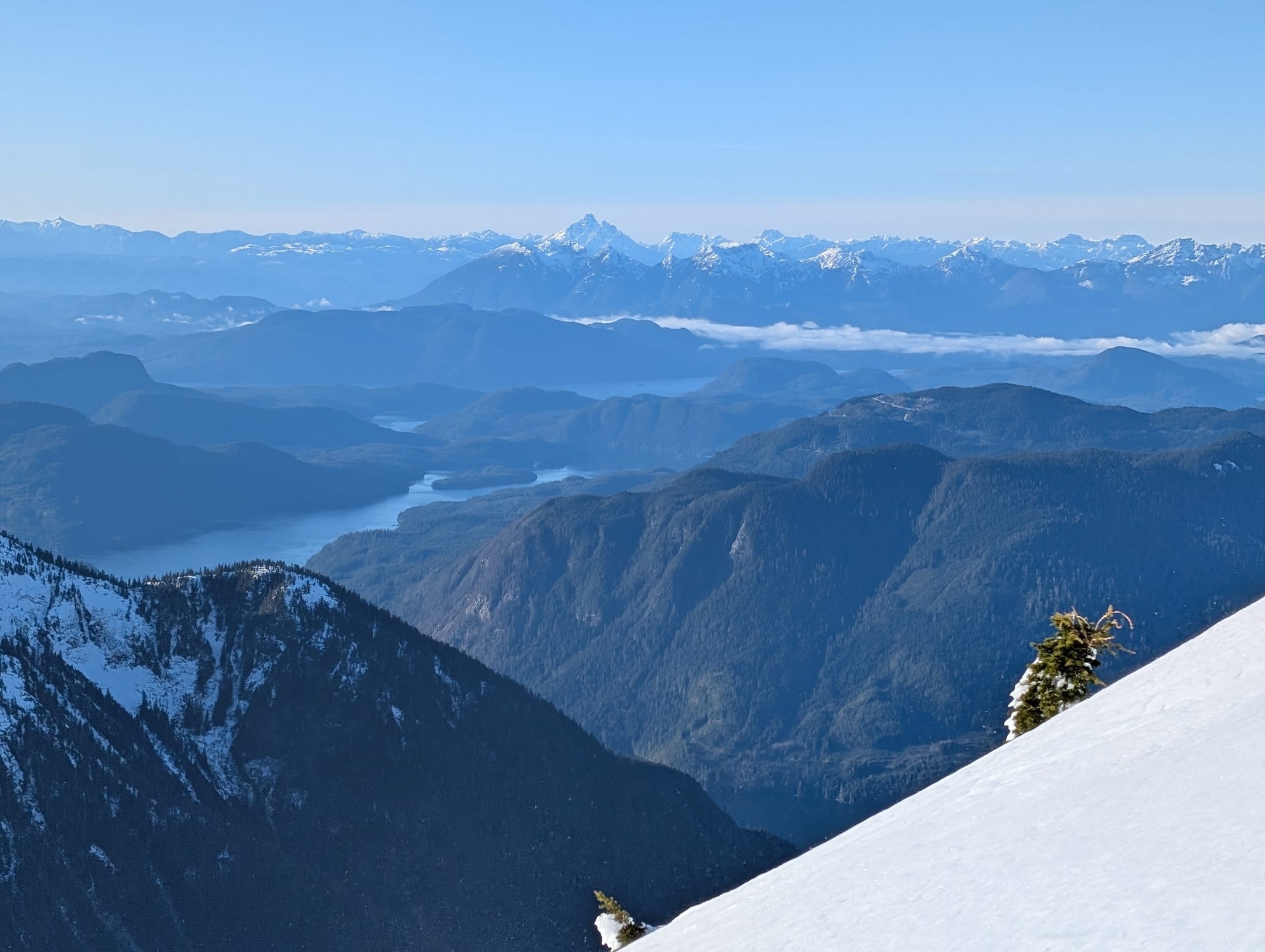
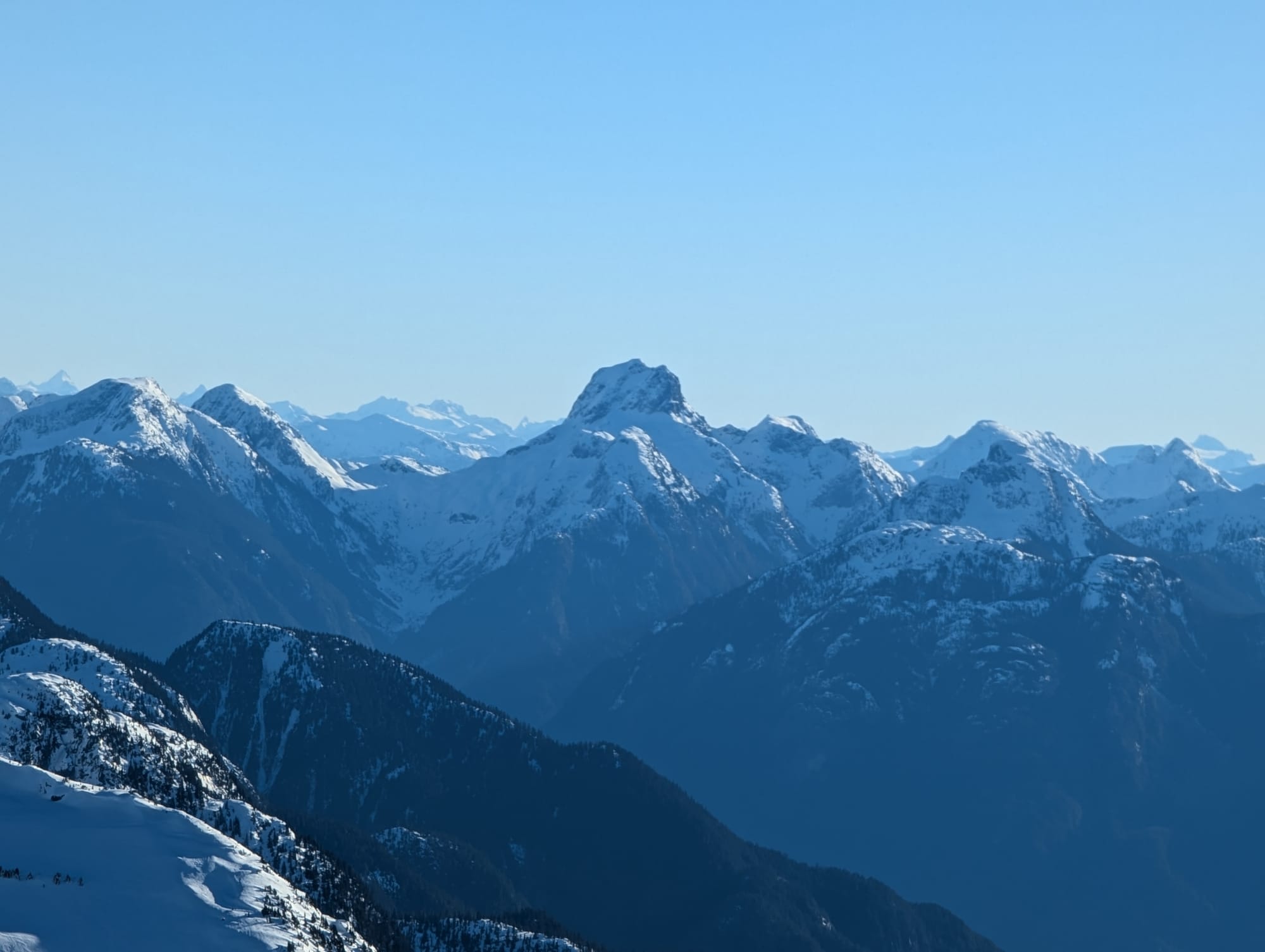
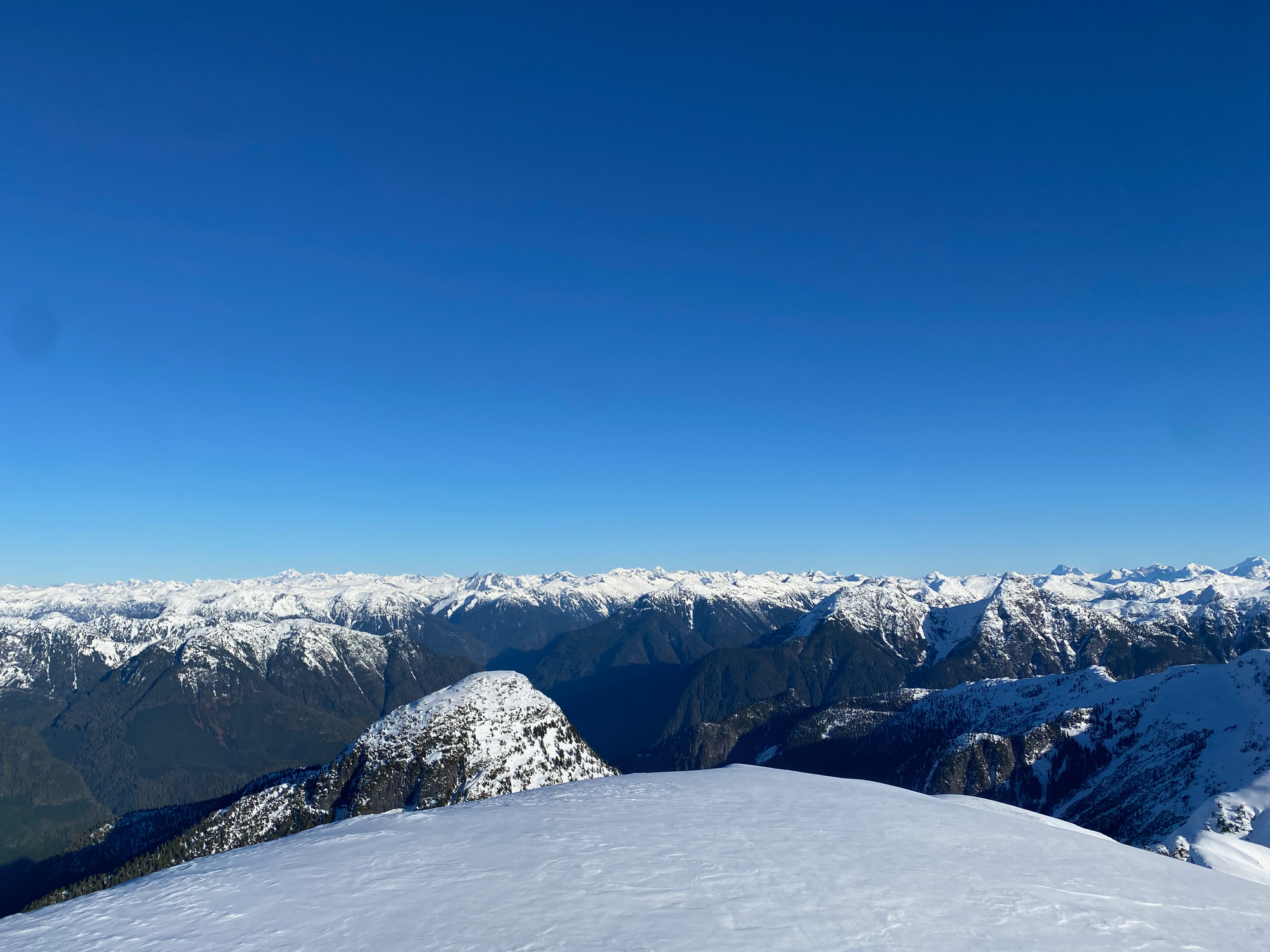
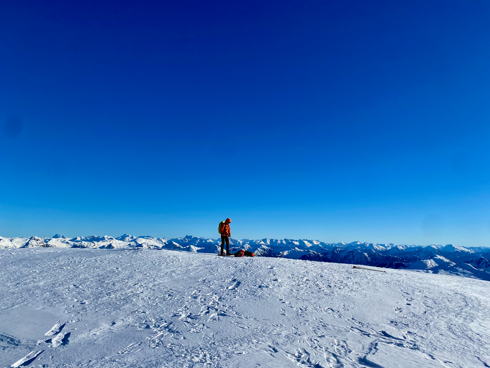
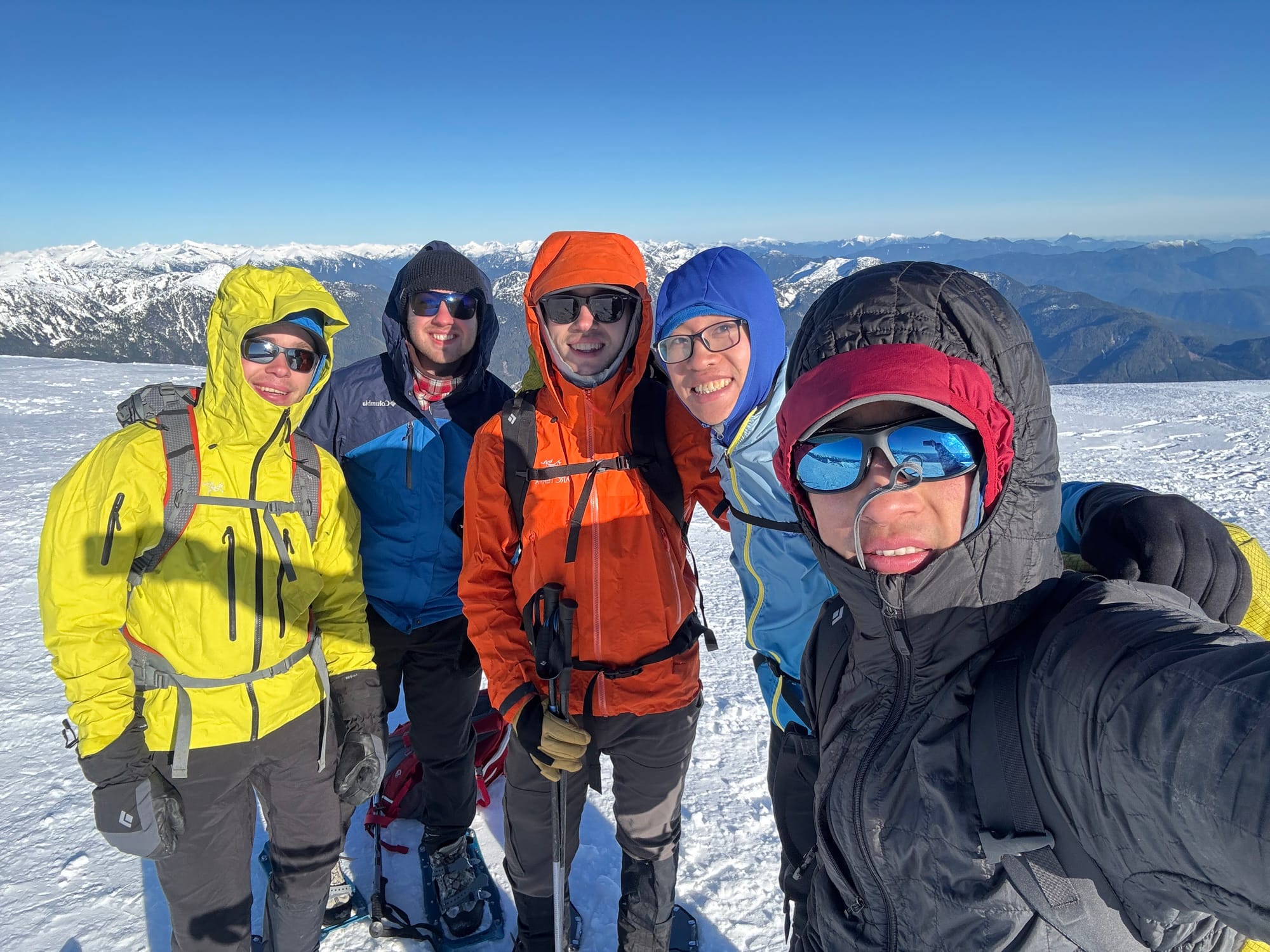
We spent about fifteen minutes on the summit before the cold and the wind inspired us to descend. We found a sheltered spot on the ridge to have lunch, then headed back down our route. Snowshoes came off when we reached the treeline and had to descend that steep section.

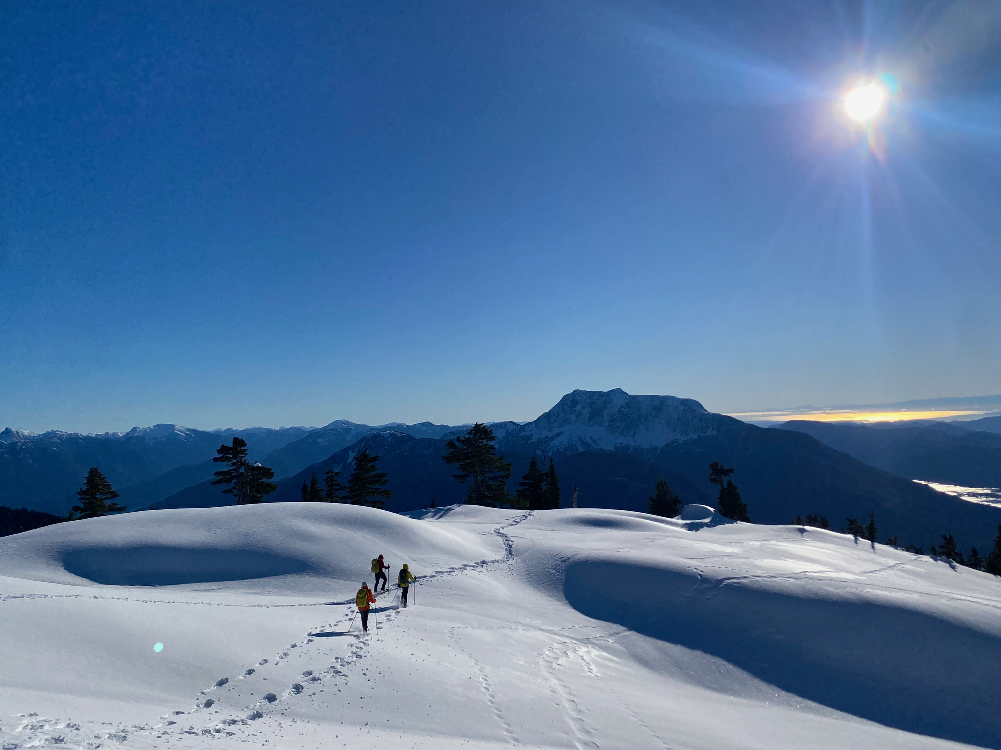
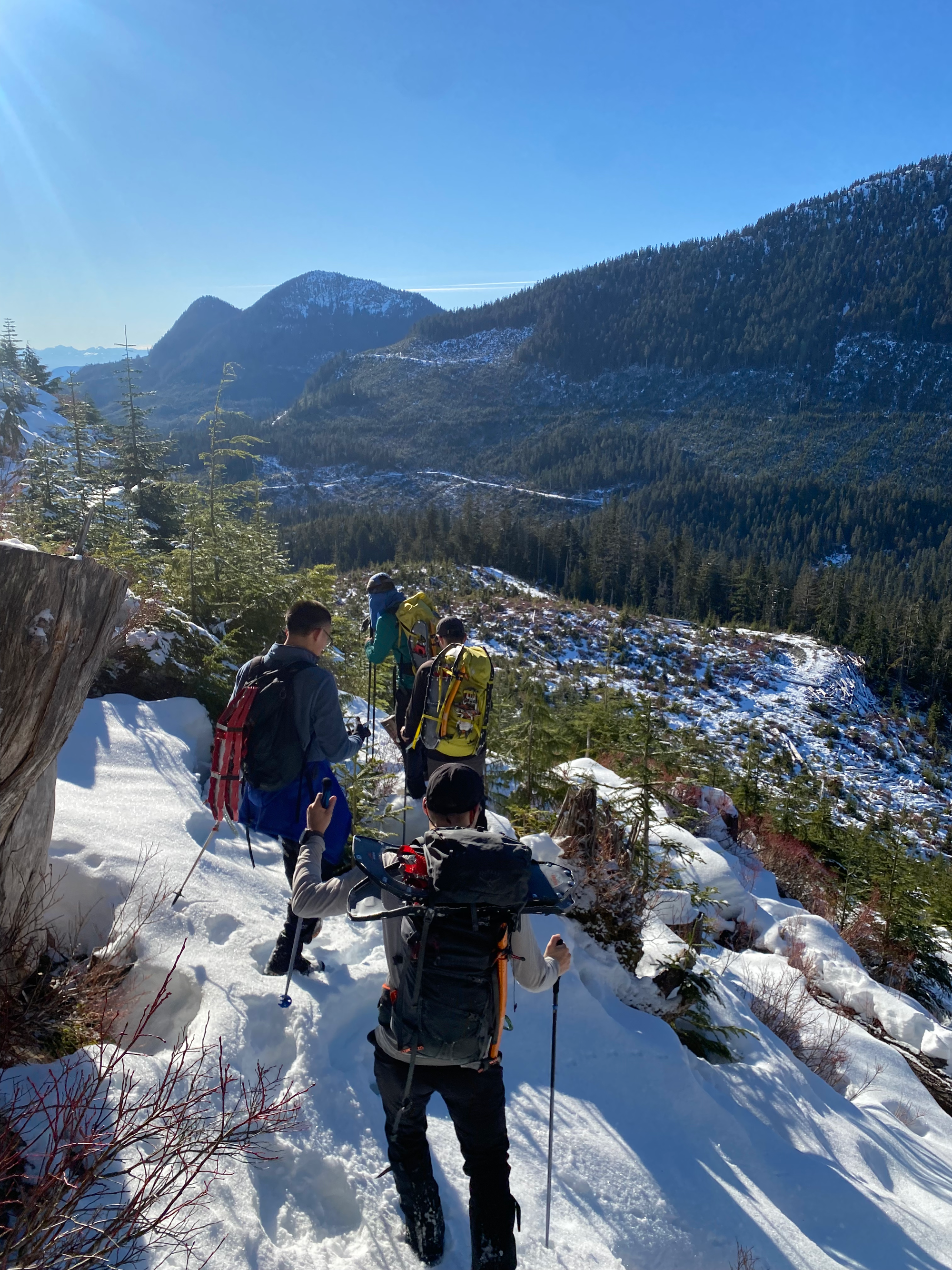
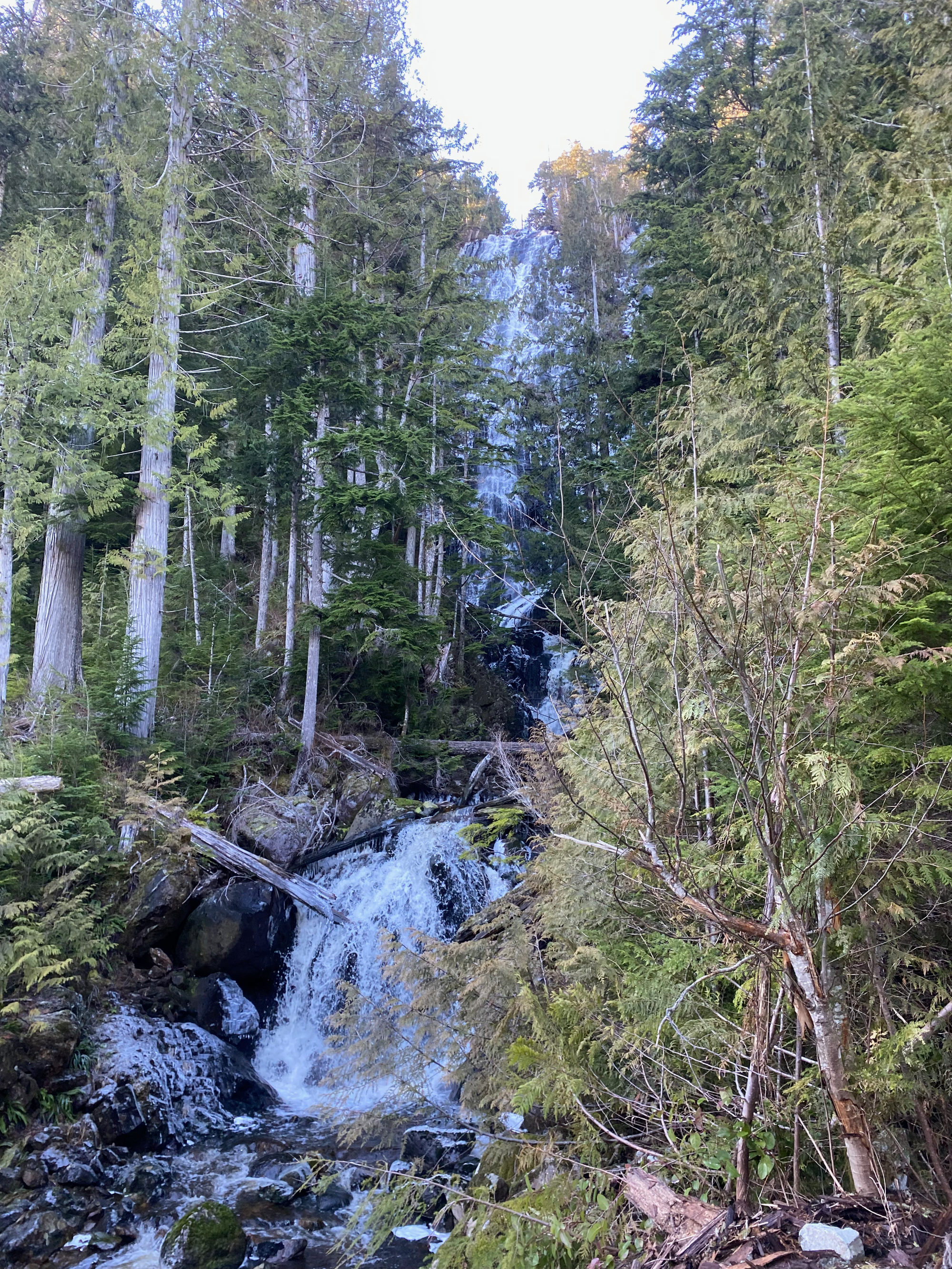
Soon we were back on the road. We jogged/walked down, stopping every few seconds to negotiate another ditch. For most of the descent we could see Estero Peak through the trees and clearcuts. As we crossed the outflow of Anna Lake (about 480m elevation), we noticed a massive waterfall that was also invisible on the ascent. As far as I know it is unnamed, and there’s nothing about it online.
(There is another series of waterfalls in the southern bowl of the mountain, at 1000 to 800m, marked on Gaia. It seemed pretty striking from satellite images but we didn’t get the chance to go there; a gnarly bushwhack would be needed.)
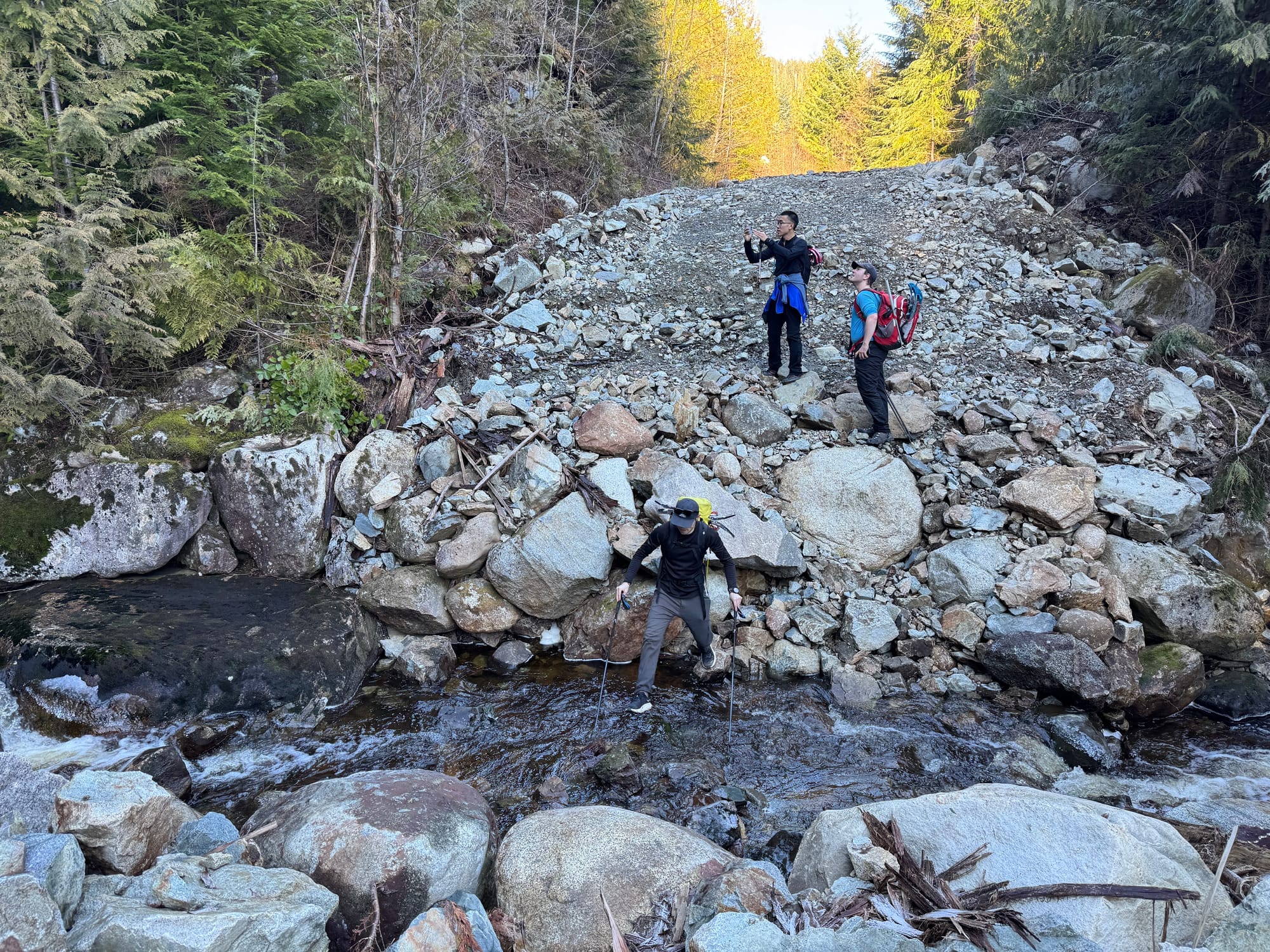
The rest of the plod went by somewhat quickly. A blister on my foot was giving me some trouble but I could still mostly keep up. Some people rock-hopped the first creek crossing but I couldn't be bothered at that point and just walked across.
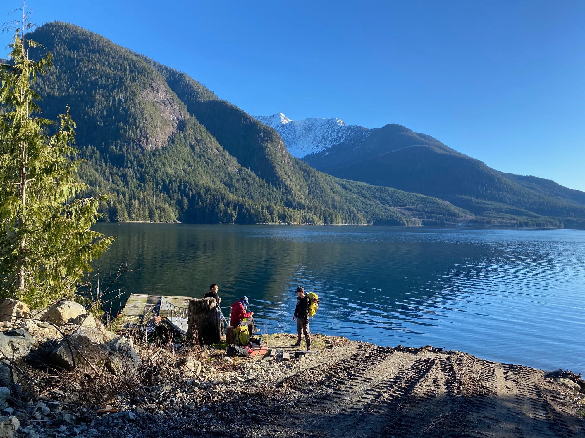
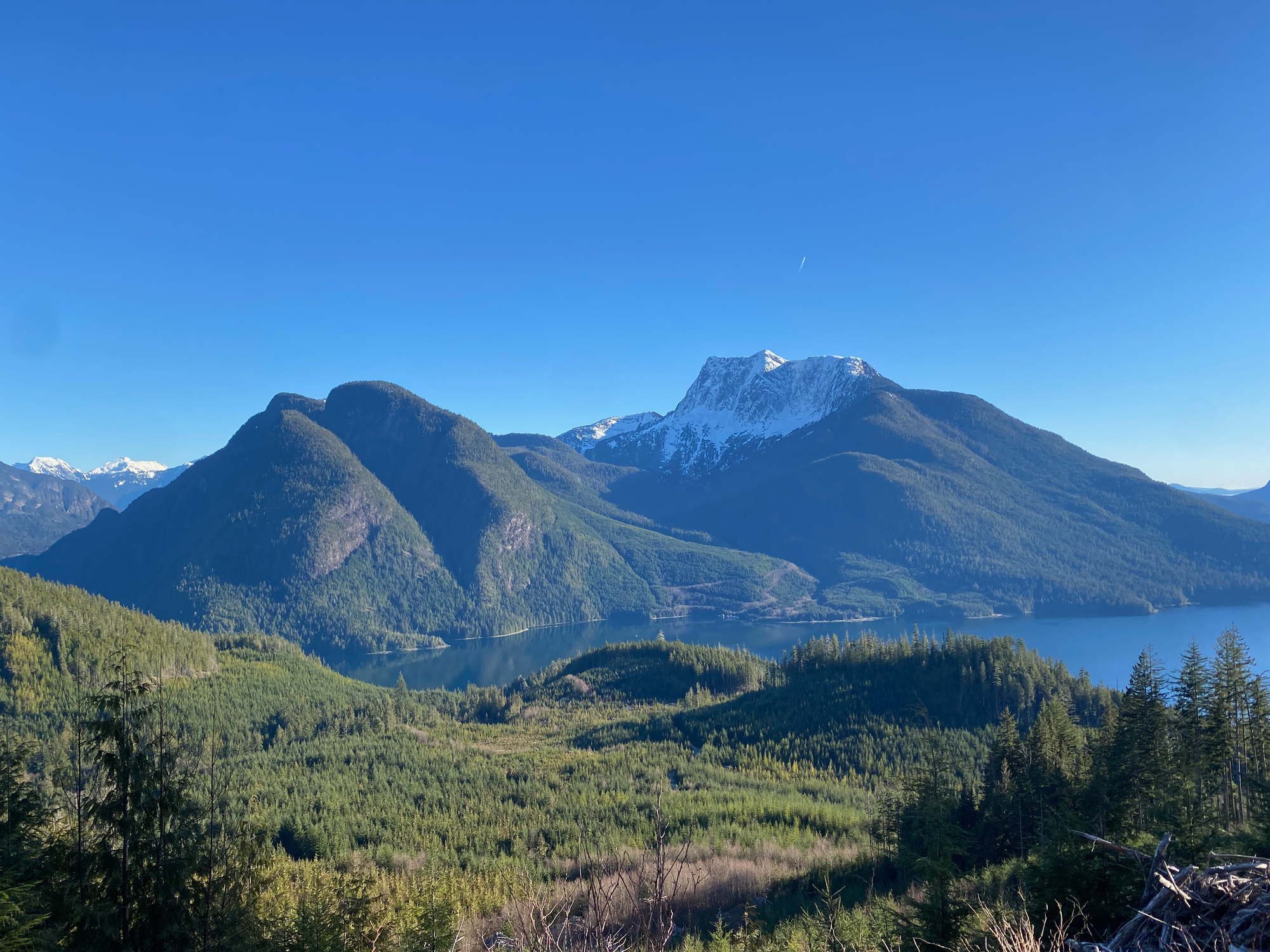
We reached the landing, admiring Estero and Egerton across the water, and Peter was able to pick us up within 15 minutes. As we sped away from the dock, watching Van der Est recede into the background, a pod of dolphins passed by.
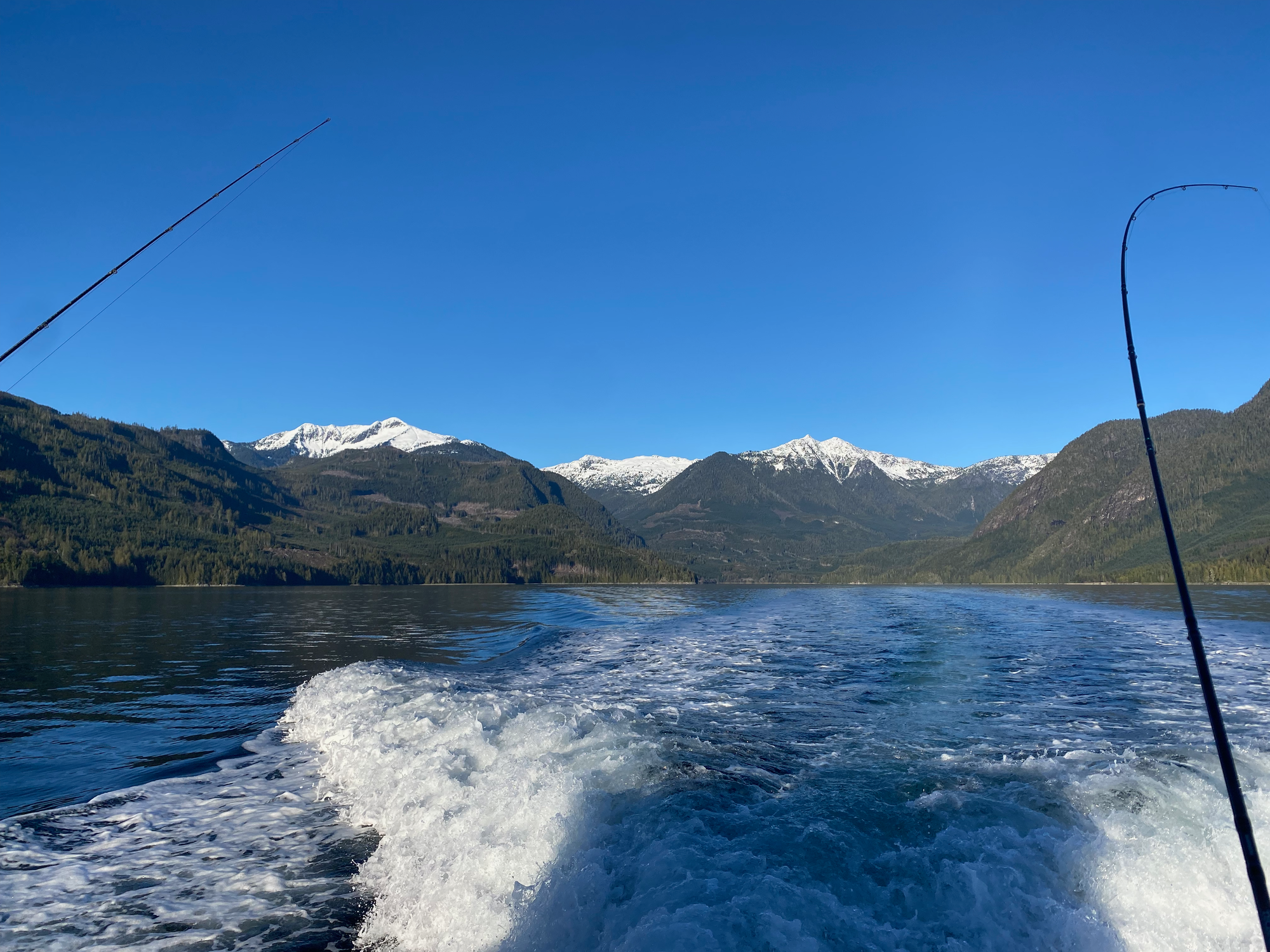
Eventually we reached Elk Bay and drove to the ferry. We managed to book reservations on the last ferries of the night. I managed to stay awake for the drive back to North Van, then crashed. We covered a lot of distance that day!
This was an incredible adventure with perfect conditions and incredible views of an area that very few people have seen. It’s the sort of trip that makes me feel very lucky to live in BC - where else can you get somewhere this remote and back in a weekend? Huge thanks to Steven for organizing this, and to everyone else who came along.


Member discussion