Mount Richardson

Date: October 26, 2025
Distance: 4.2km (from Richardson Lake; ATV access only); 8.85km (from my starting point); 19.4km (from junction with Sechelt-Gray Creek FSR)
Elevation gain: 188m (from Richardson Lake); 291m (from my starting point); 568m (from junction with Sechelt-Gray Creek FSR)
Mount Richardson is an obscure mountain on the Lower Sunshine Coast between the Tetrahedron plateau and Sechelt Inlet. It consists of a plateau with several picturesque lakes and two smaller bumps, one of which has a well-maintained trail to a viewpoint overlooking the town of Sechelt. I would hike elsewhere on a sunny summer day, but this peak is an excellent shoulder season option when other destinations are snowed in.
I was looking for a hiking destination on a cloudy October weekend and noticed Mt. Richardson on a map. For once, the Sunshine Coast lived up to its name; it had better weather than everywhere else nearby.
Some people bailed due to a last minute change in the forecast, but luckily Toby from the VOC was still able to join. The rain was quite heavy when we reached Langdale, but it stopped as we drove west and we didn’t even have to hike in the rain. From Tuwanek, we drove north for 5.2km along the Sechelt-Gray Creek FSR (which also leads to Tetrahedron Provincial Park), which was in good shape.
We then took the Sechelt-Richardson Branch, passing a bear at the turnoff. This road starts off in good shape, although it has waterbars which will stop low-clearance vehicles. As the road goes on, it gets steeper and rougher, with some loose rocks and larger waterbars. Along the way we met two hikers, Tom and Emmi, also from UBC, who were hiking up the road to Richardson. We gave them a lift and they joined our group for the rest of the trip.
There is a creek crossing a few kilometres past the turnoff, but the Subaru made it across easily.
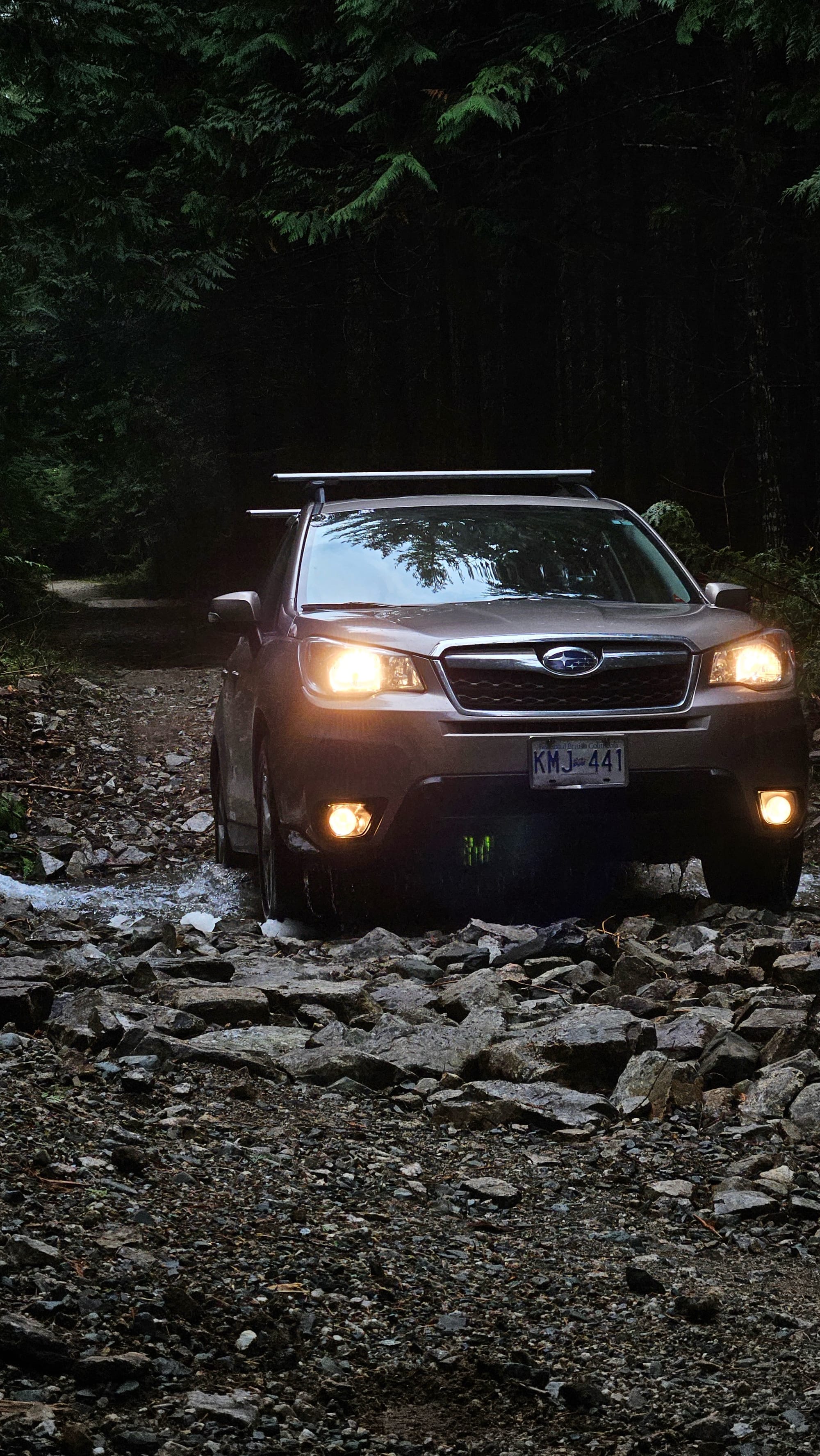
I eventually parked 6km from the turnoff, before an especially steep and loose section.
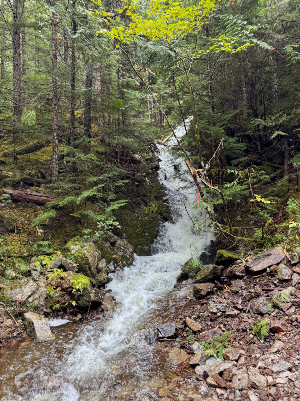
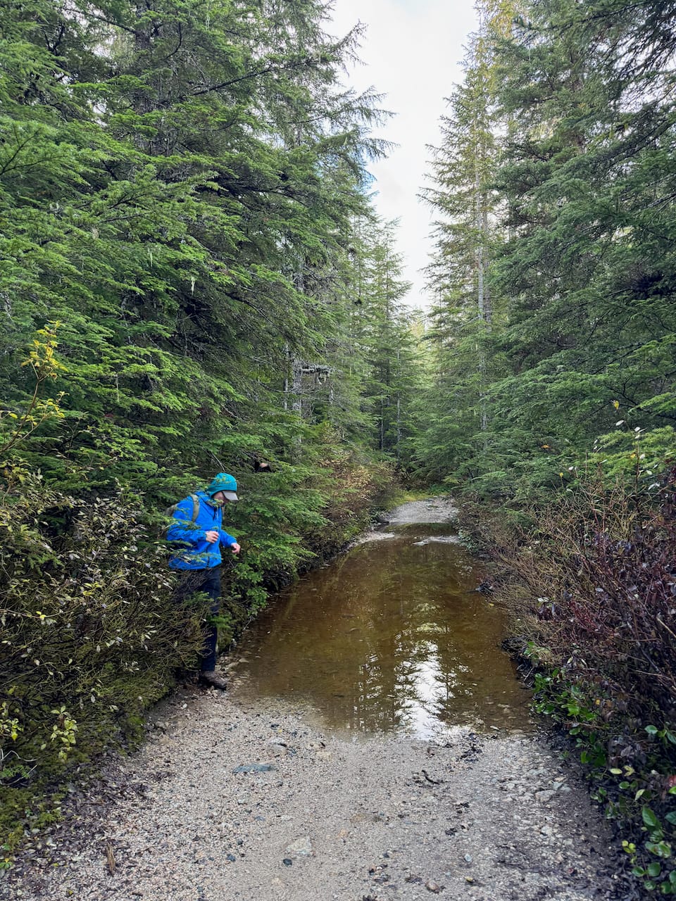
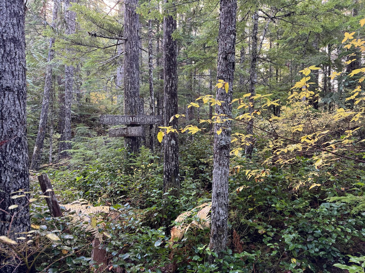
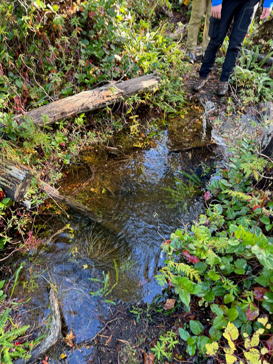
There are a few forks in the road, but the correct route has been marked with extensive flagging tape for most of them. After yesterday’s atmospheric river, there were massive puddles in places. We had to bushwhack around them.
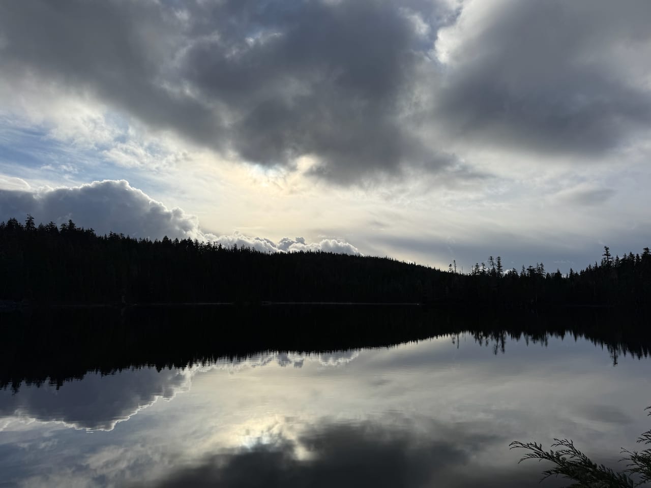
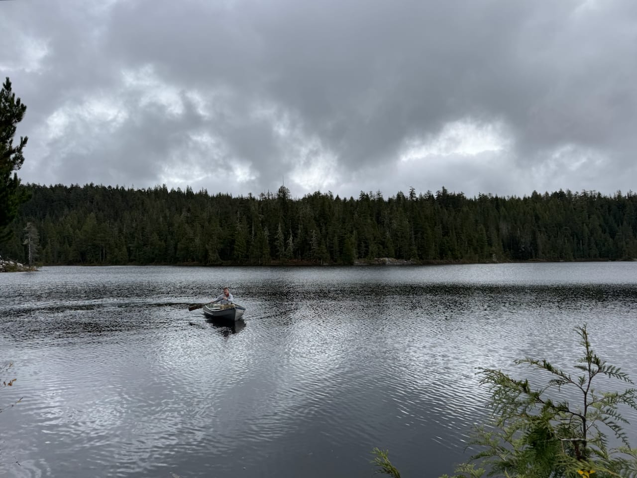
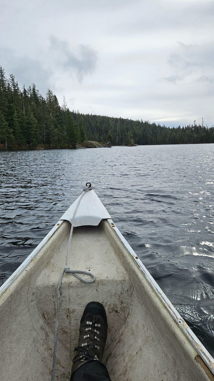
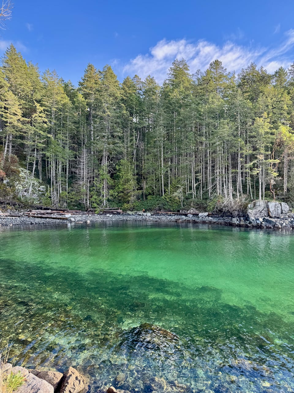
At one point, the route splits. We took the road to Richardson Lake, which I would recommend. The lake was very peaceful.
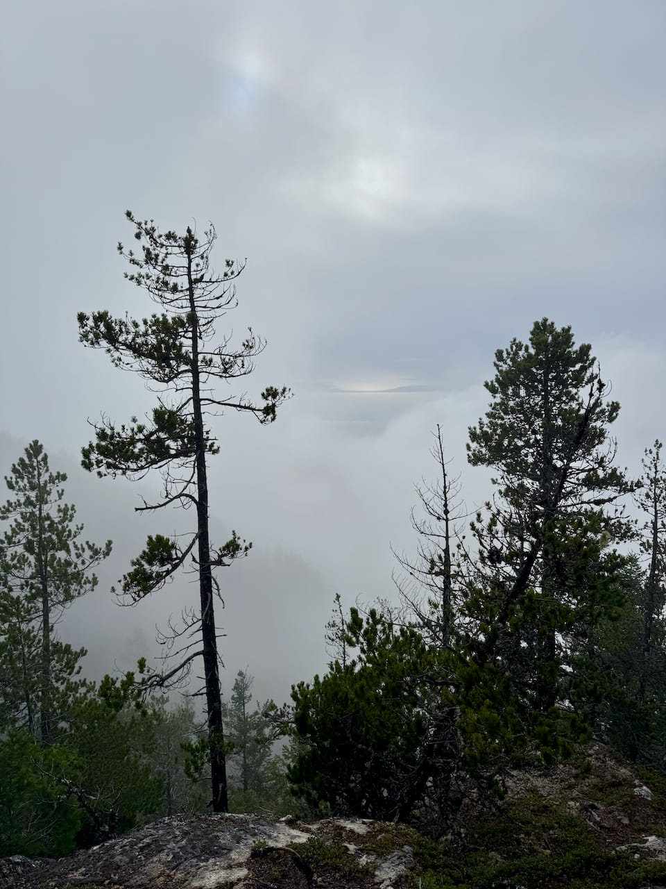
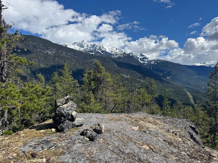
From here the trail follows the lakeshore, then rejoins the main route. Like many Sunshine Coast trails, it is in very good shape, considering how few visitors it gets. The forest was pleasant. I think mountain rainforests after a long rainfall are very peaceful, and this was a prime example.
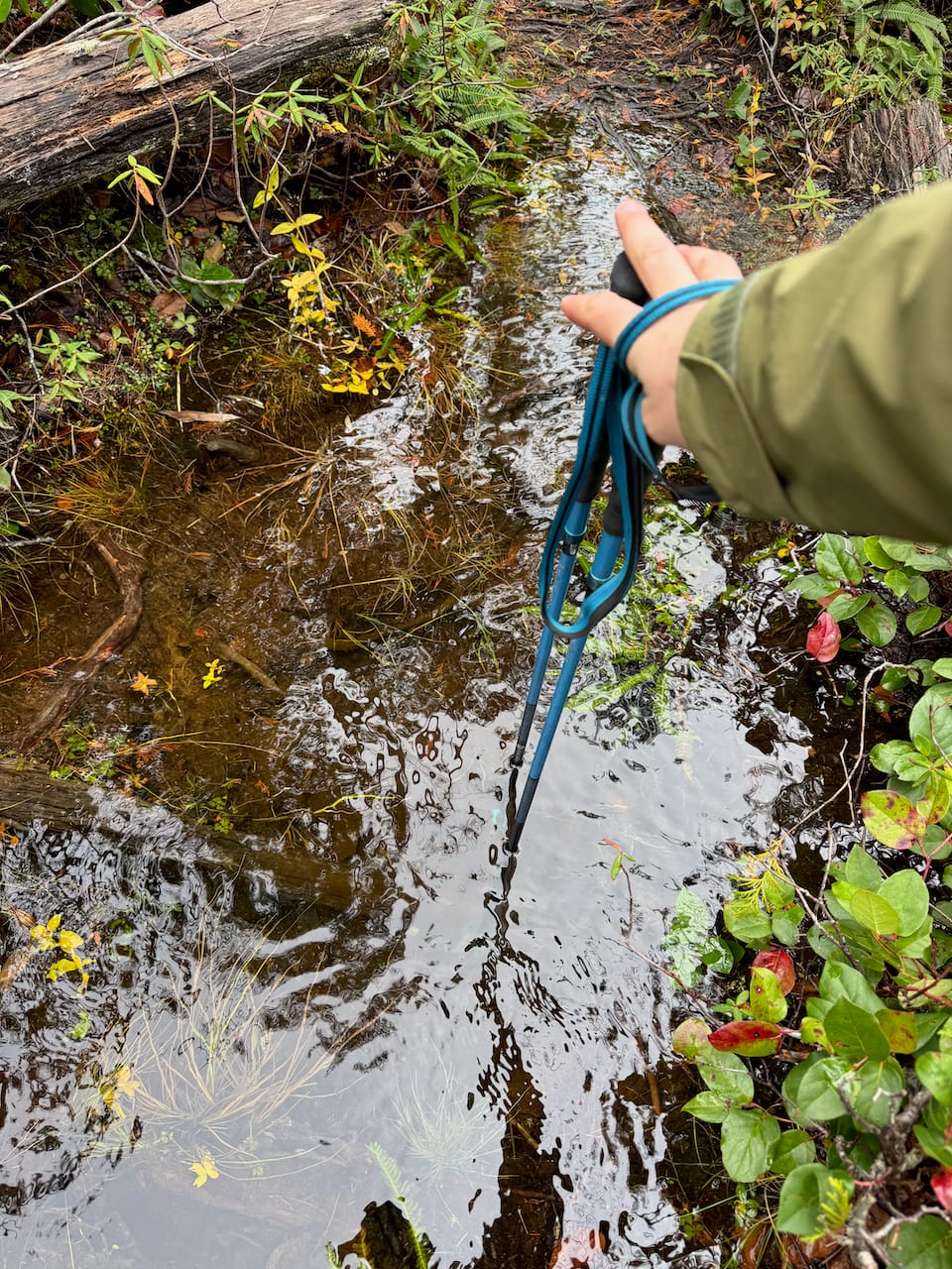
We then wandered south, through a bog and past another small lake. One puddle here was over a foot deep!
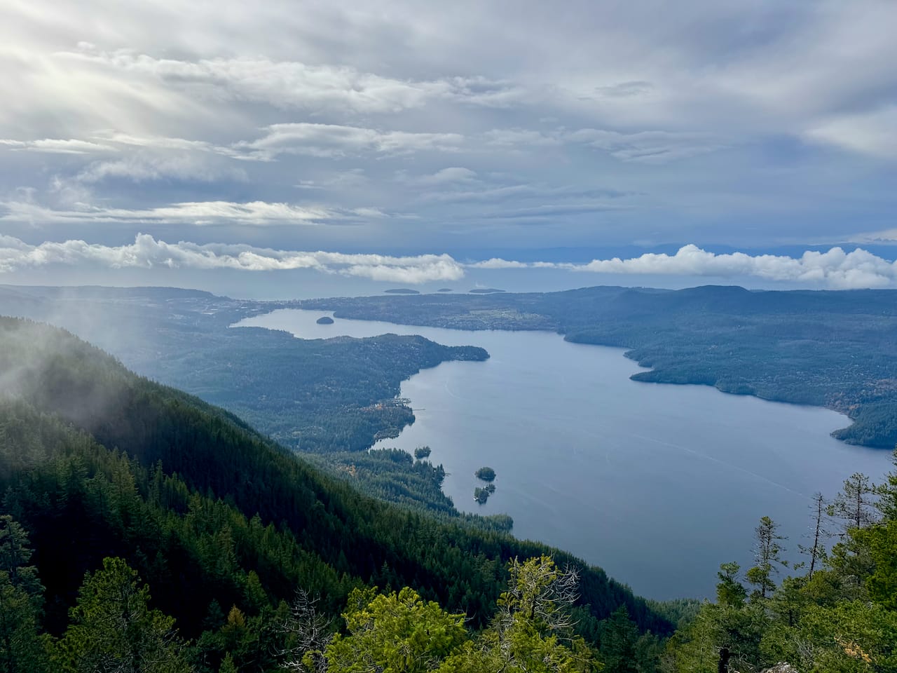
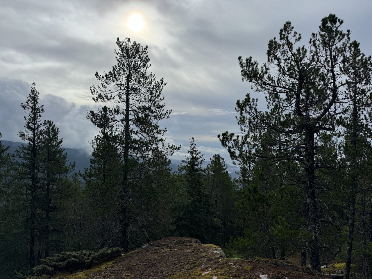
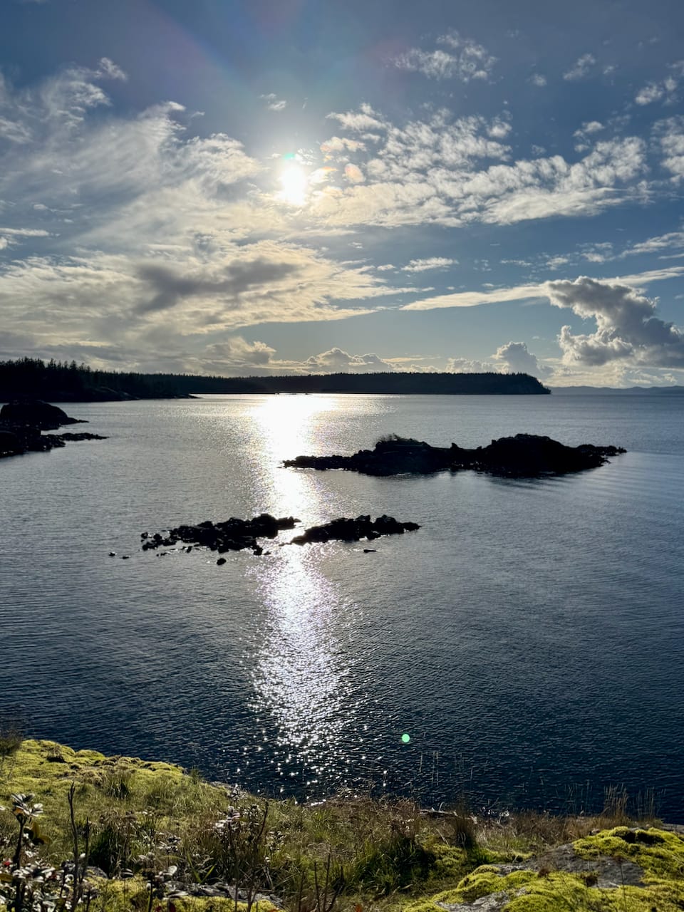
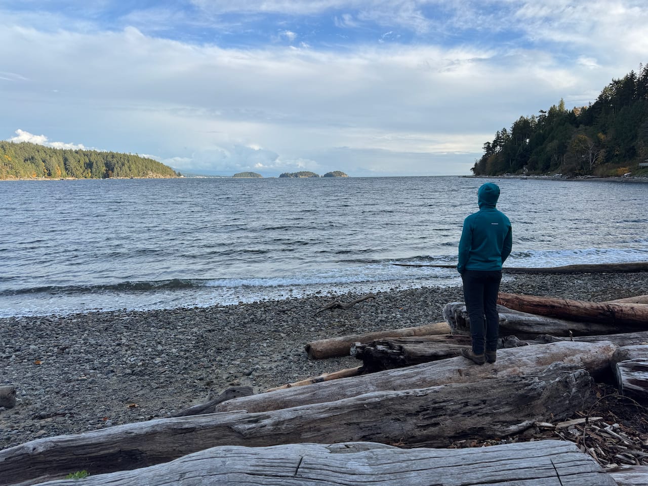
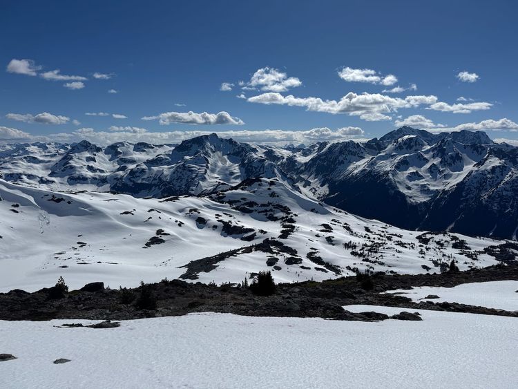
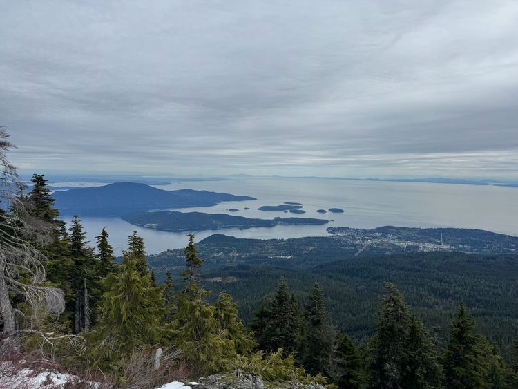
The trail ends at the hiker’s summit, with some views through the trees. The views significantly improved as we scrambled downhill along a bluff. You’re right above Sechelt Inlet and the town of Sechelt. In the distance, shifting clouds provided ephemeral views of Vancouver Island.
95% of hikers will stop here, but this is not the highest point. The real high point is the bump 200 metres to the east. To get there, I went to the highest point of the hiker's summit, bushwhacked into the valley between the summits, then scrambled up some easy but slippery slopes. There are extremely limited views from the true summit. It wasn't really worth the detour. I returned to the hiker's summit and rejoined everyone else.
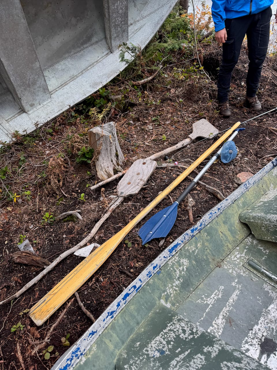
We returned the way we came, stopping for a long break at the lake. There is a rowboat here and an act of piracy might have taken place.
Because of how far we'd driven up the FSR, the hike ended much earlier than expected. We returned to the car and drove back to civilization, dropping Tom and Emmi off on the way. We'd just barely missed a ferry, so we side-quested for a while before catching the next one.
Not bad for a rainy October day.
Member discussion