Mount Mercer
Date: November 22, 2025
Distance: 17.64km
Elevation gain: 1242m
Mount Mercer is a summit east of Chilliwack. It's the highest point of the ridge extending east from the better-known Elk Mountain, and provides similar but better views. You can hike from Elk to Mercer, but it adds quite a bit of distance (summit-to-summit is 7.3km one way), so most people, myself included, will do them as separate trips. This is a great snowshoe trip (although there is some avalanche terrain on the final summit push), and also makes an excellent destination in the shoulder season, which is when I did it.
From the Chilliwack Lake Road, we headed north on the Bench Creek FSR, crossing the river. This road was 2wd accessible. After a couple kilometres, we went north on the Chipmunk FSR, the same road that leads to Mt. Cheam. There were some large waterbars which stopped our 2wd vehicle.
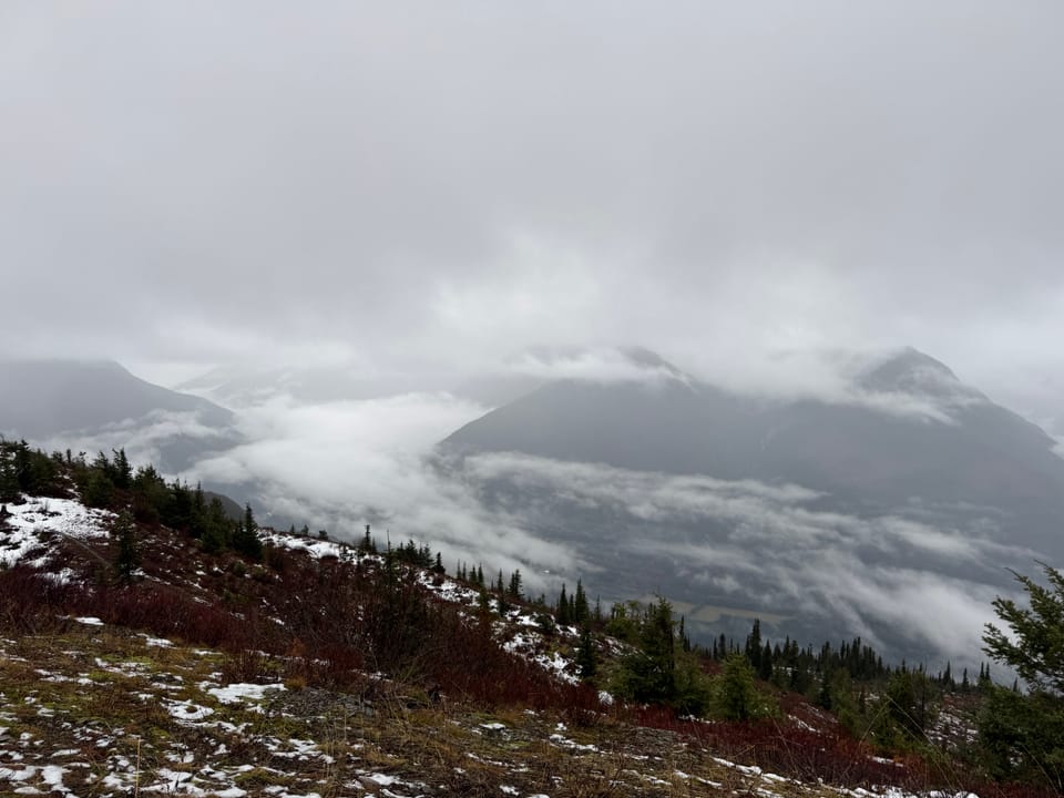
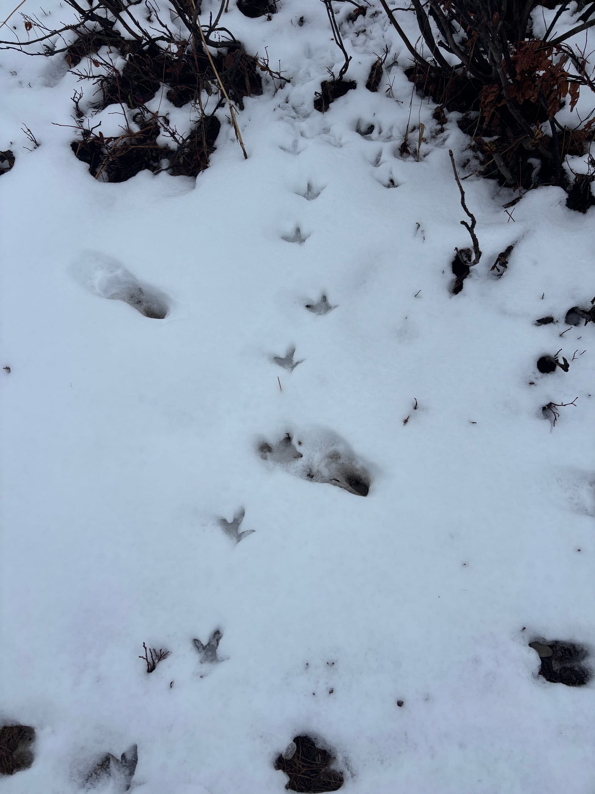
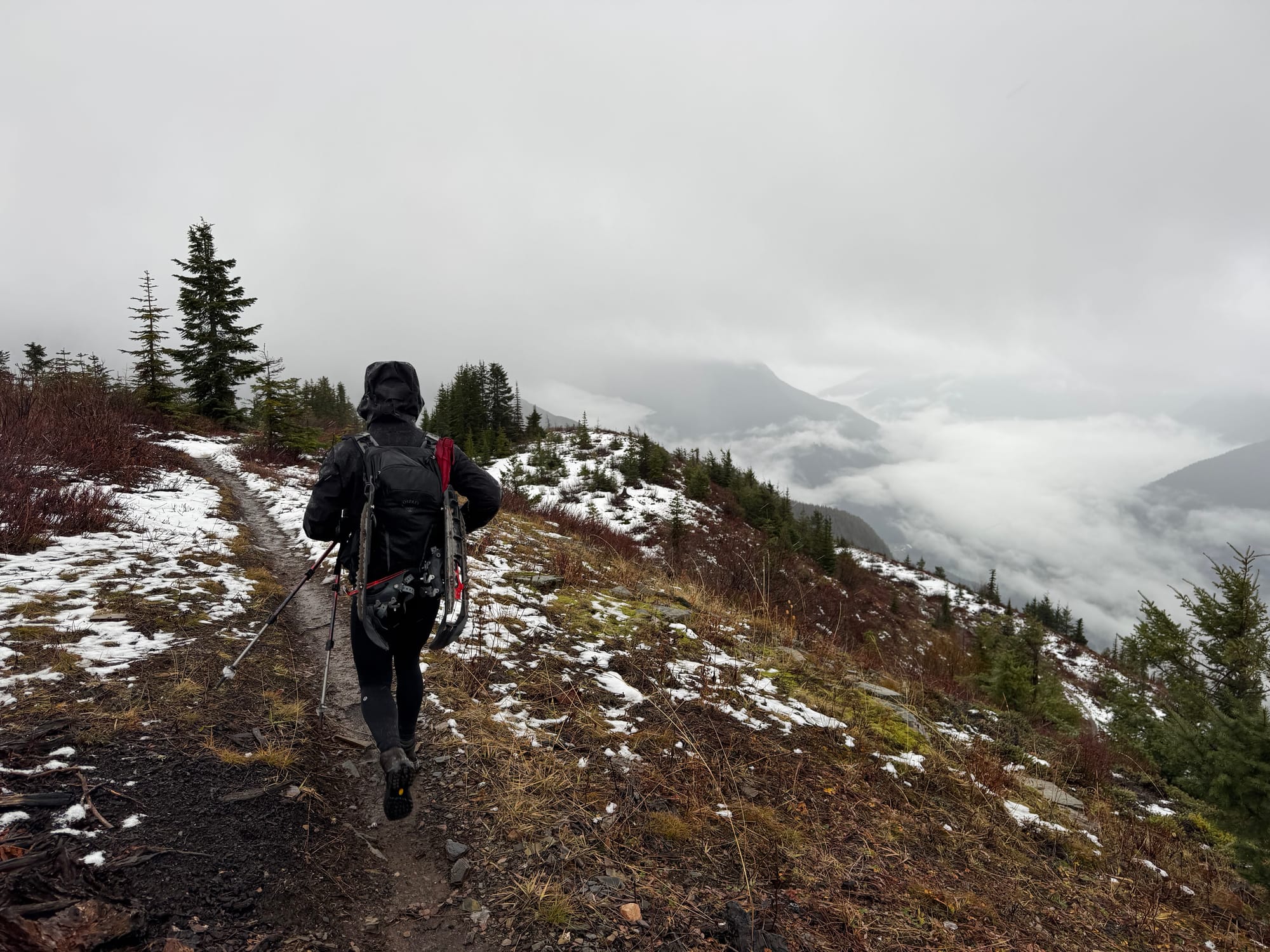
The standard route starts 1.5km from the turnoff, so we didn't have to walk very far. There are many trails on the mountain’s eastern slopes, many of which will lead you in the right direction. Refer to the attached GPS track for our route, which led us through the forest, then joined a FSR through a cut block. The fog gave the forest an eerie atmosphere.
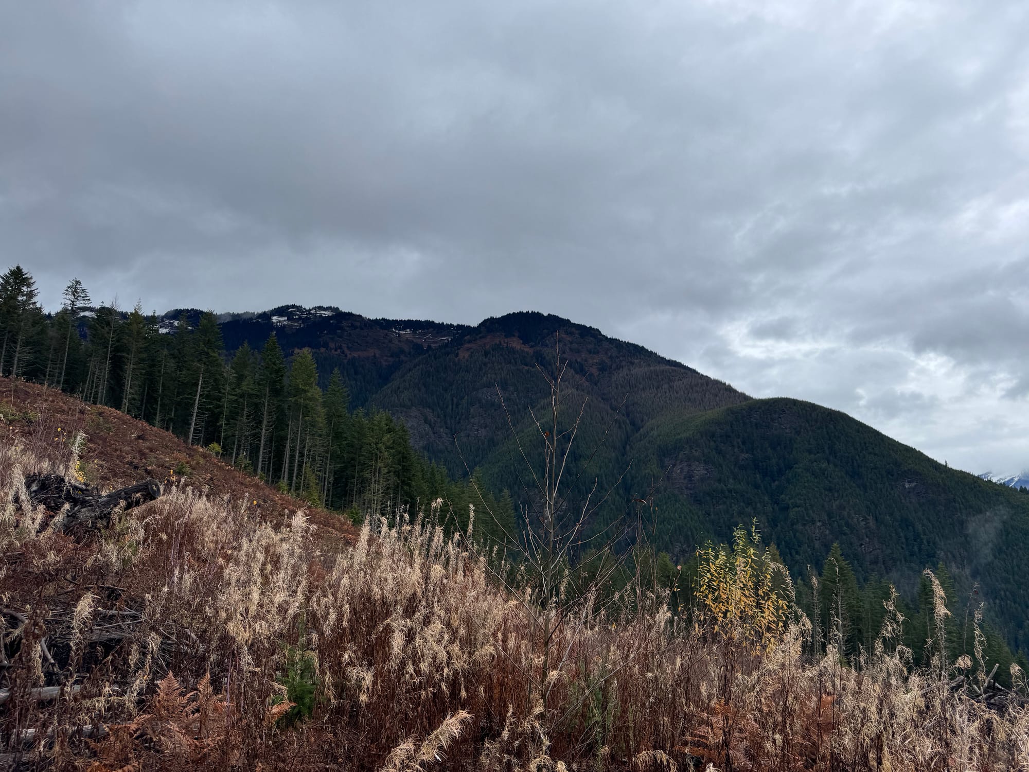
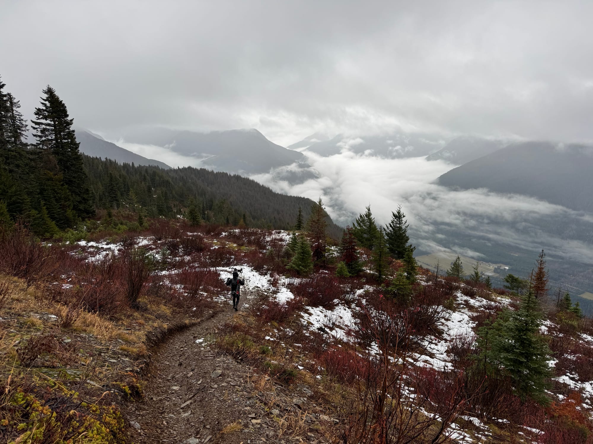
We continued through the forest to another cut block at 1000m. On the way up, we followed the logging road to its end, then walked up the cut block. There’s a faint flagged trail on the other side of the cut block, which is marked on Gaia. Instead of this route, I’d recommend our down track (north), which follows an actual trail for longer.
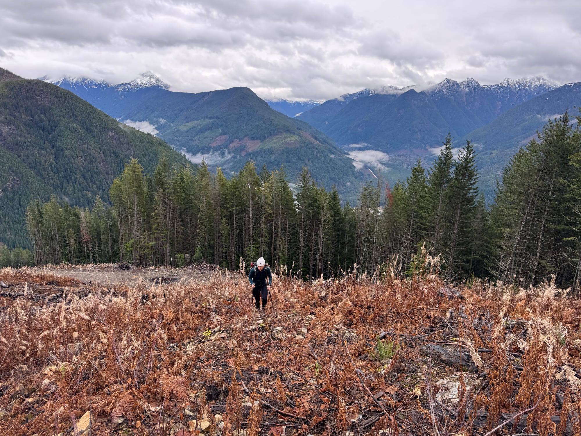
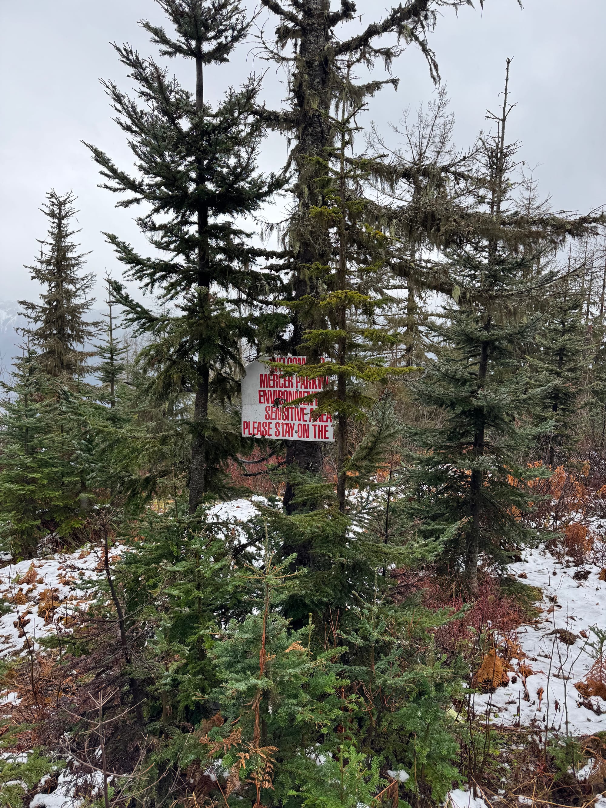
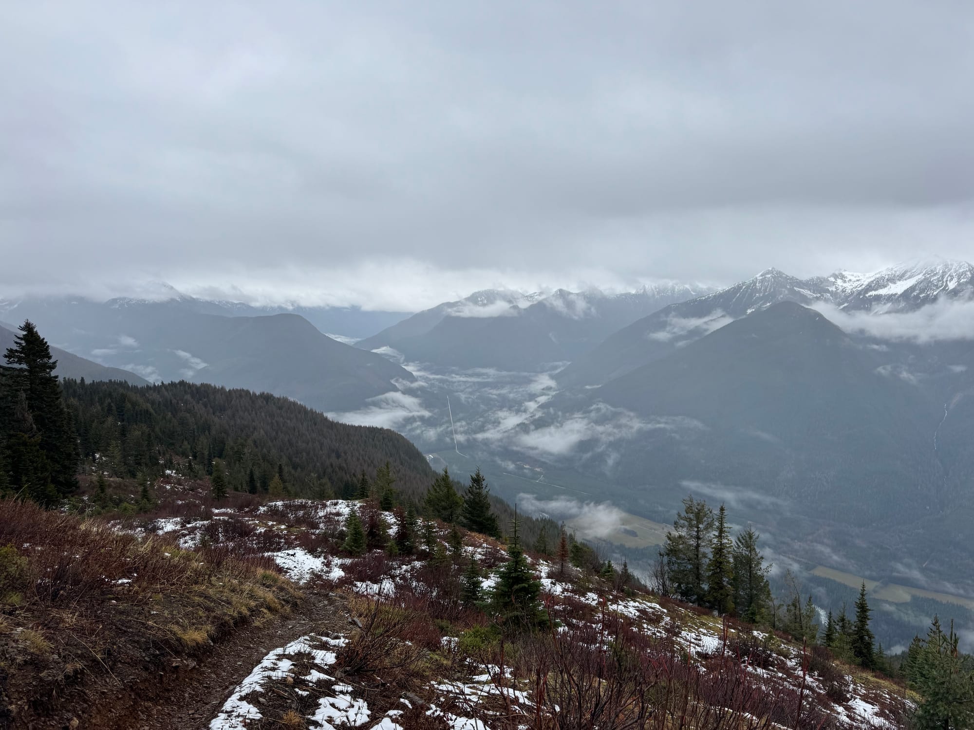
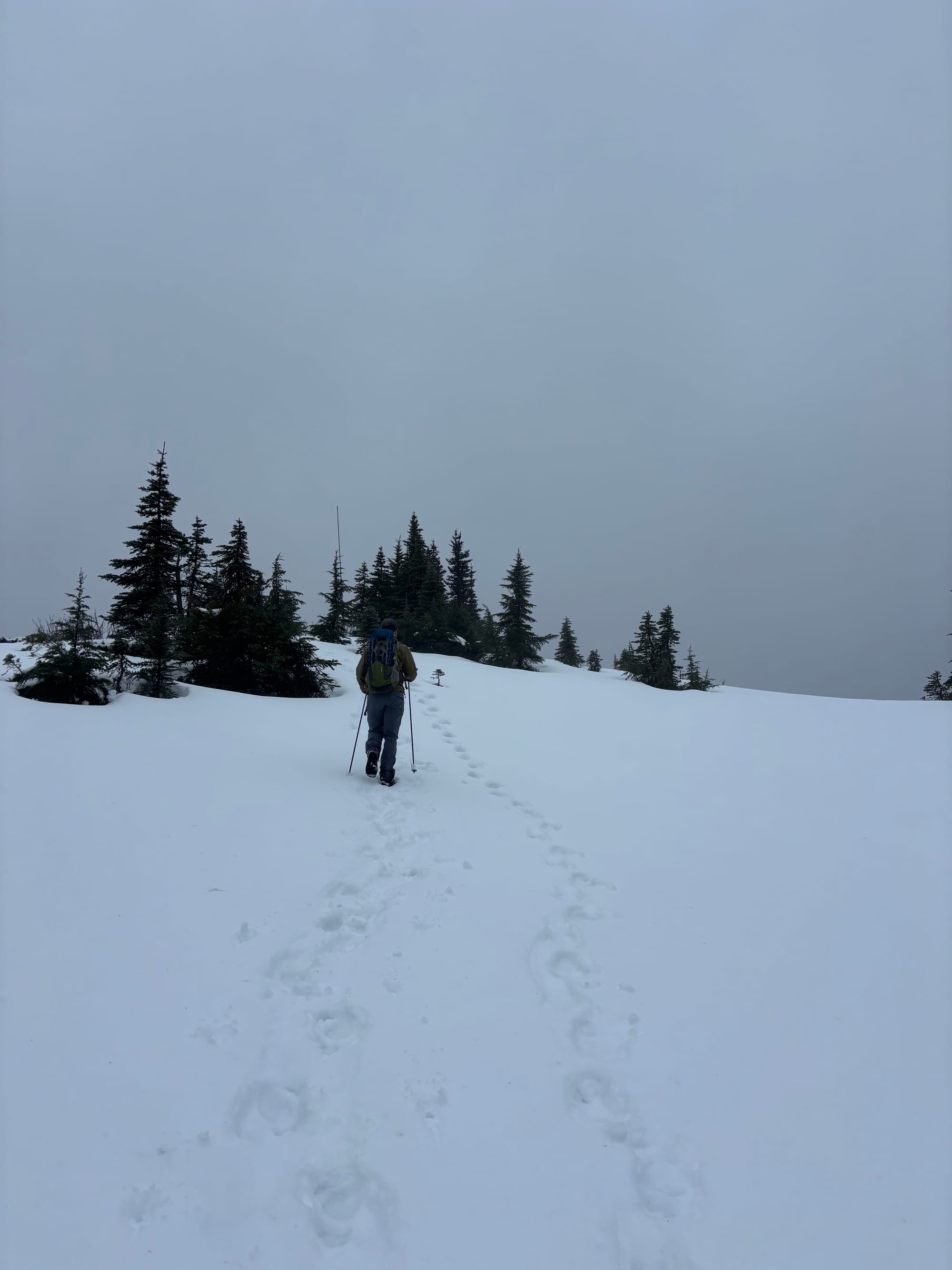
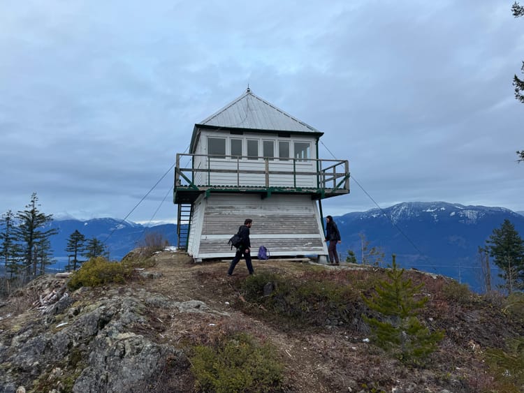
Eventually we reached the well-defined Mercer Parkway, which follows the ridge through forested and subalpine terrain to the summit. When the clouds parted, alpine meadows provided good views across the Chilliwack River Valley and north to the Cheam range. We brought snowshoes but ended up not needing them.
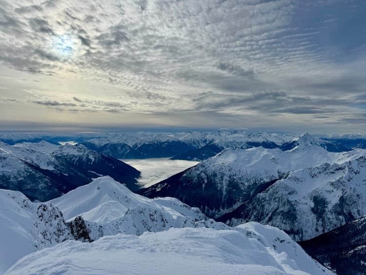
The final push to the summit had one short steep section that could pose an avalanche risk.
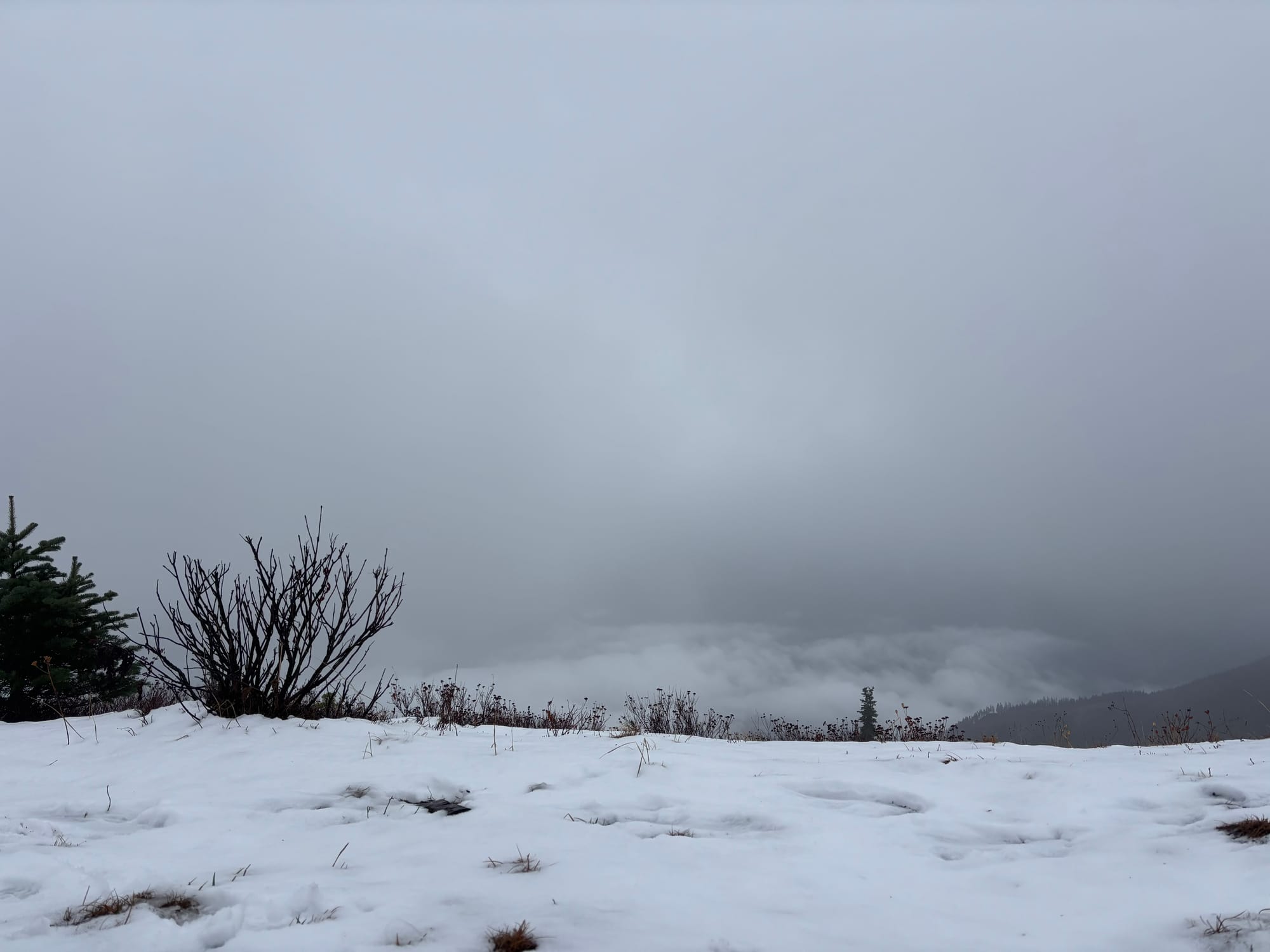
By the point we reached the summit, the clouds had rolled in, but the views would’ve been quite good on a clearer day.
We retraced our steps along the Mercer Parkway and took a different trail to the FSR. We reached the car around sunset.
As far as shoulder season hikes go, this one was pretty nice. I'll hopefully return on a clearer day.


Member discussion