Monastic Peak
Date: March 14, 2025
Distance: Around 11.5km
Elevation gain: Around 600m
Monastic Peak is a wooded hill at the southeastern tip of Stave Lake. It consists of two relatively flat plateaus surrounded by steep cliffs on all sides. “Monastic Peak” is an unofficial name given by bivouac.com, but it seems appropriate. I could definitely picture a solitary Orthodox monastery or Buddhist temple guarded by the cliffs.
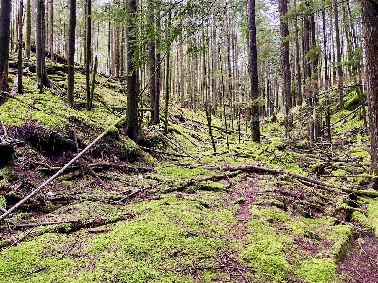
For some reason, several local hikers have climbed this peak in the past few years, coming back with reports of long slogs, tedious bushwhacks, decaying and falling trees, slippery and exposed rock, and negligible views (https://www.peakbagger.com/peak.aspx?pid=82197). There are two “standard” routes up the peak. One route involves bushwhacking on a long-abandoned logging road and up steep slopes. The other route requires scrambling on some soggy, slippery moss-covered bluffs with some exposure. It didn’t seem like a very appealing destination, and I only went there because the avalanche risk was high (at 655 metres, all the snow had melted from Monastic by that point).
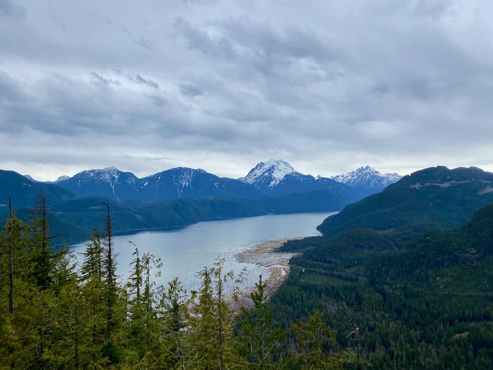
However, I stumbled on a third route to the peak with no exposure, much less bushwhacking, and some superb viewpoints of Stave Lake and the peaks beyond it, especially Judge Howay and Robie Reid. I wasn’t expecting this peak to be as nice as it was and I’d actually recommend it.
The first few kilometres on the Lost Creek FSR were bumpy but manageable. The SL100 branch gently sloped downhill to the west, with a couple sections of loose rock and small ditches. There was a large ditch caused by a creek at 130m. I didn’t think my car would make it back if I drove across, so I parked there. The next two kilometres were easily dispatched on my bike as the road curved around the western and southern slopes of Monastic Peak.
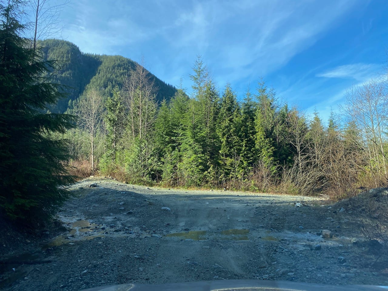
Eventually the road forked, with one branch leading uphill. This was overgrown so I left the bike and proceeded on foot. The road ended at a bluff at 160m.
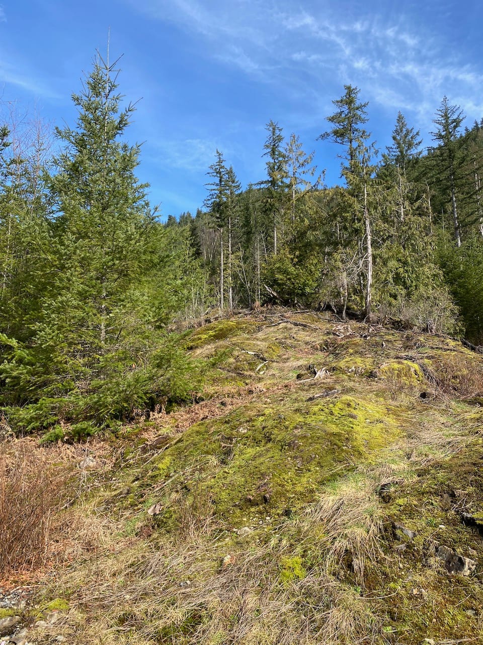
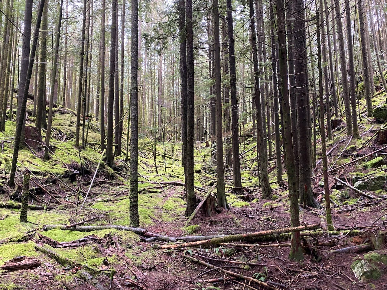
I walked up the bluff for a while, then cut into the forest, following a small creek valley (not shown on Gaia). There were some flat areas beside the creek which could have been part of a FSR at some point. Around 260m the valley flattened out into a wide landing between a small outcrop to the southwest and several steep, massive bluffs on the slopes of Monastic Peak to the northeast.
I continued a bit further up the valley, saw a bluff which looked promising, and started climbing. The rock was covered in a couple inches of slippery moss. It had rained recently and there were some dicey parts. I made it about ⅓ of the way up before the bluffs became even steeper. This route would probably go in dry conditions, but as a solo hiker I didn’t want to risk it, so I returned to the landing. I think most groups climbed a different bluff about 200m to the east, between the creek described below and another creek: https://www.facebook.com/share/p/18tsZWrYze/
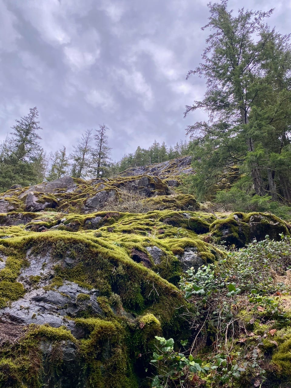
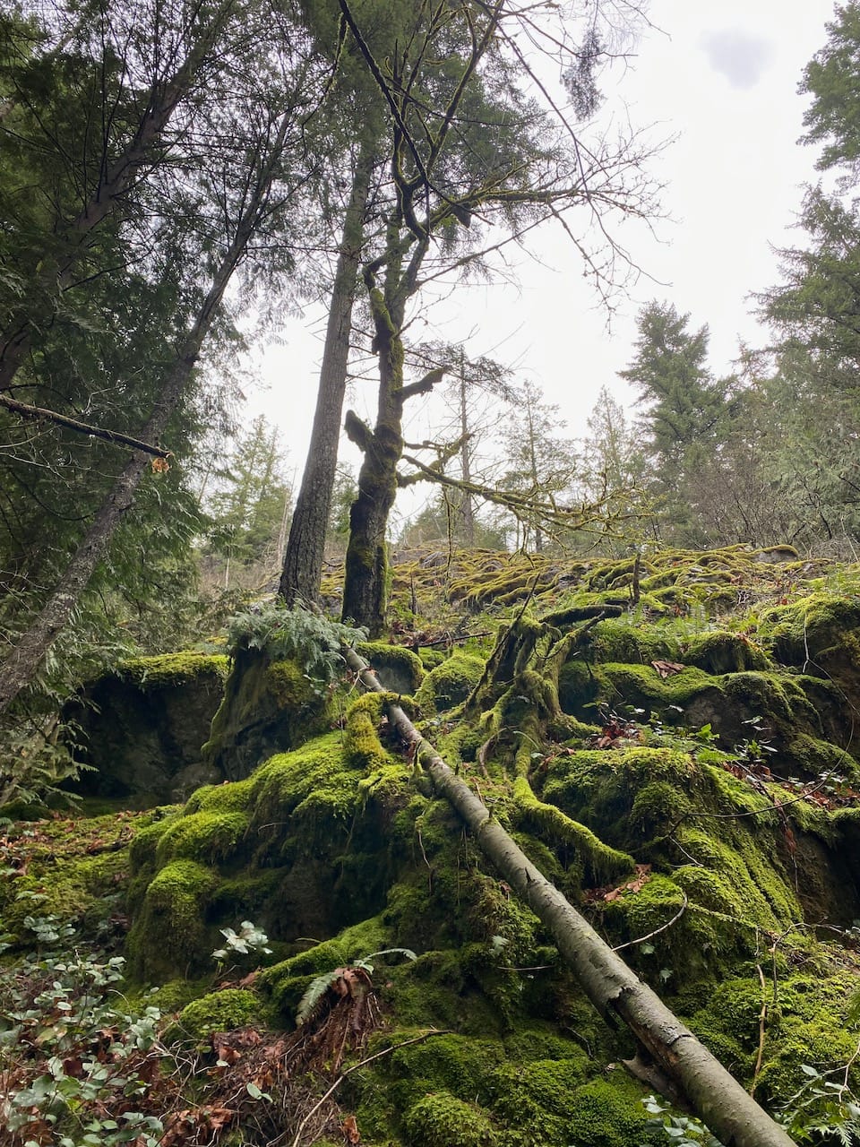
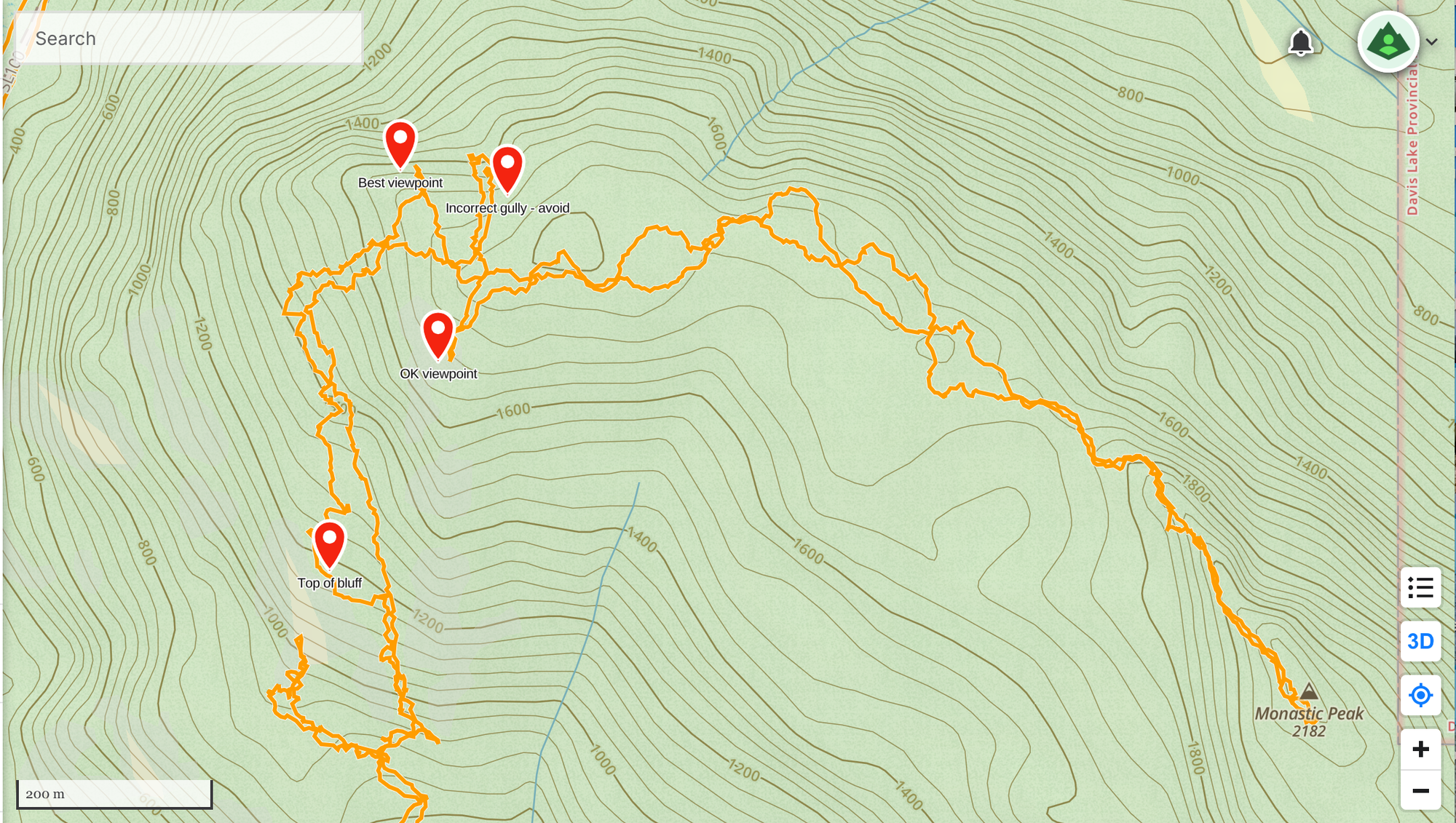
I was about to try the other bluff when I noticed a natural ramp leading to a creek separating the two. The creek is marked with blue flagging tape for logging purposes. This gully was relatively easy to ascend; it was slippery in places, but nothing felt exposed. There was one short class 3 move, which I avoided on the descent by staying in the actual creek bed. In no time I was above the bluffs. I took a detour here to the top of the bluffs, and admired the view of Stave Lake and its marshes.
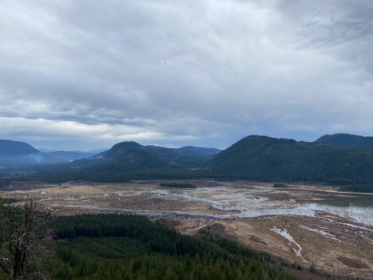
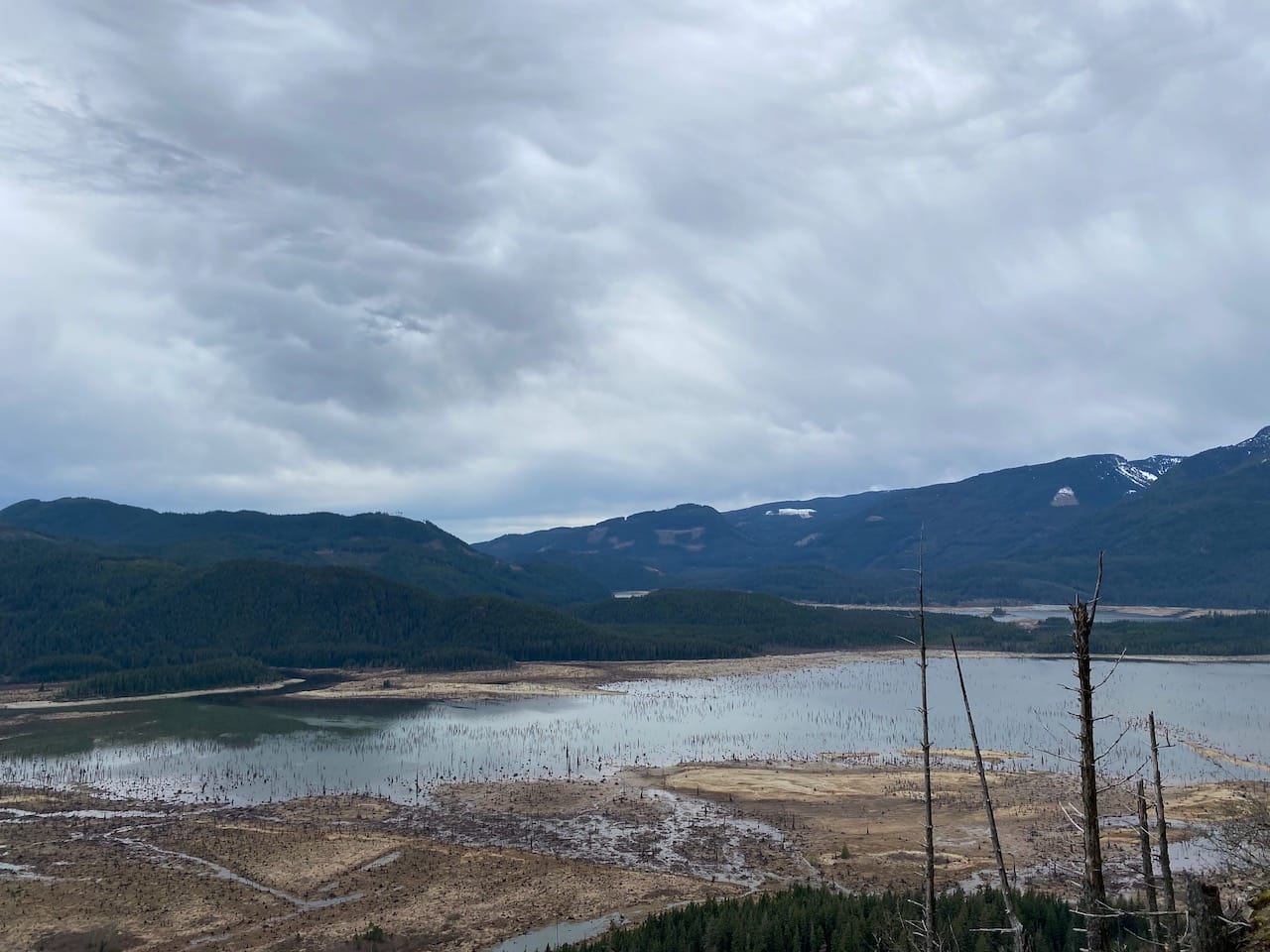
I continued along the bluffs for a while, but the views just became more limited. Eventually I scrambled down to the creek valley, and soon reached another flatter area surrounded by boulders. From there I took the path of least resistance to the ridge.
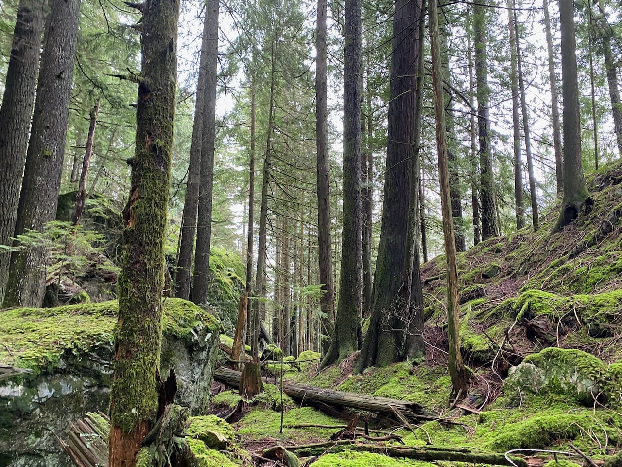
I took a detour towards a patch of open sky amidst the trees and found myself on top of a steep bluff. This place had superb 120 degree views to the north. The looming giants of Robie Red and Judge Howay dominated the view, and the steep drop provided a bird’s eye view of the Lost Creek valley. This hadn’t seemed like a viewpoint from the satellite images, but it turned out to be the best view I found on this peak. I took a lunch break here.
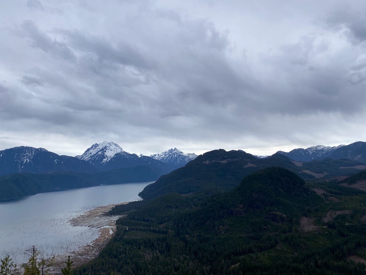
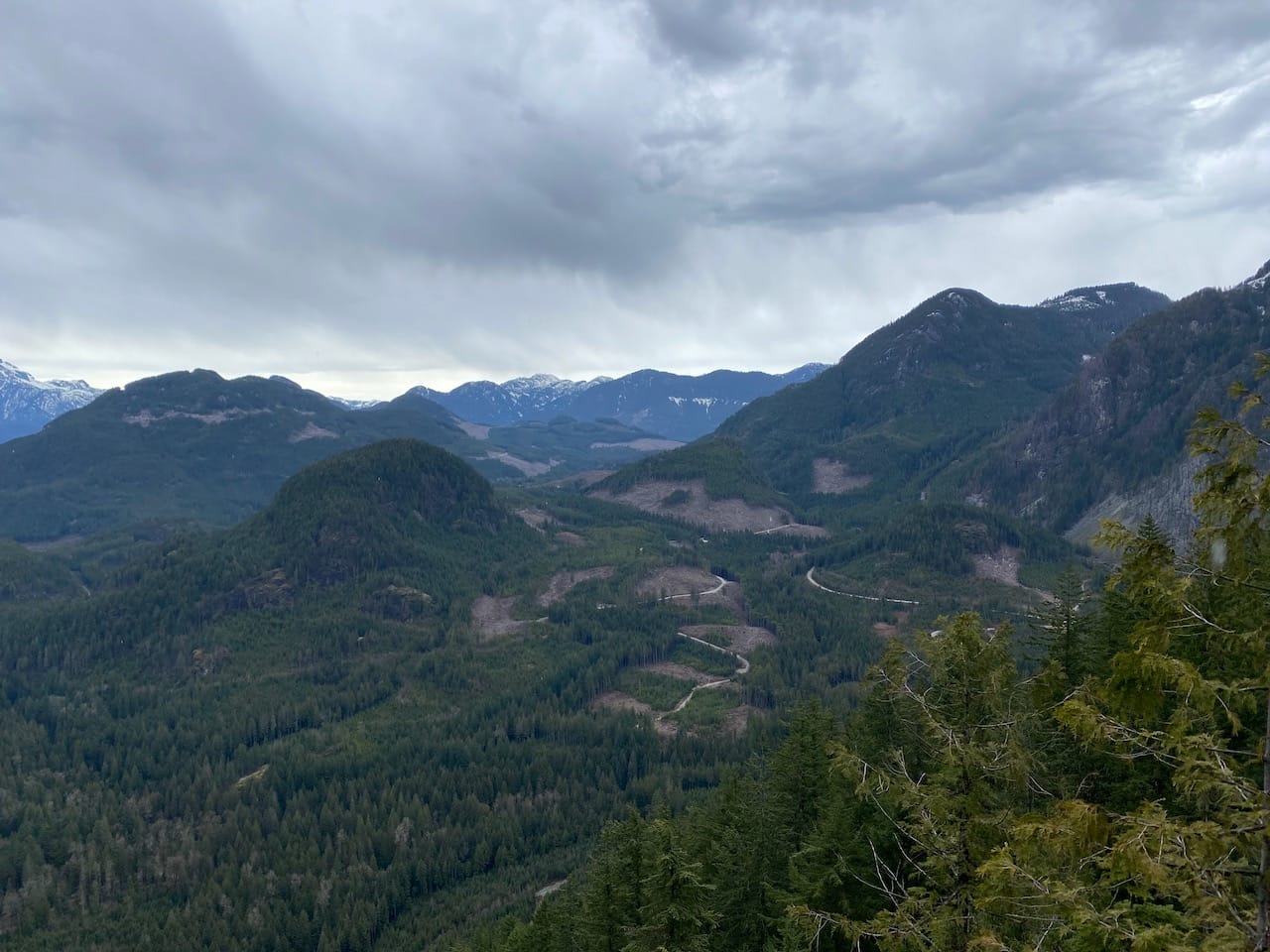
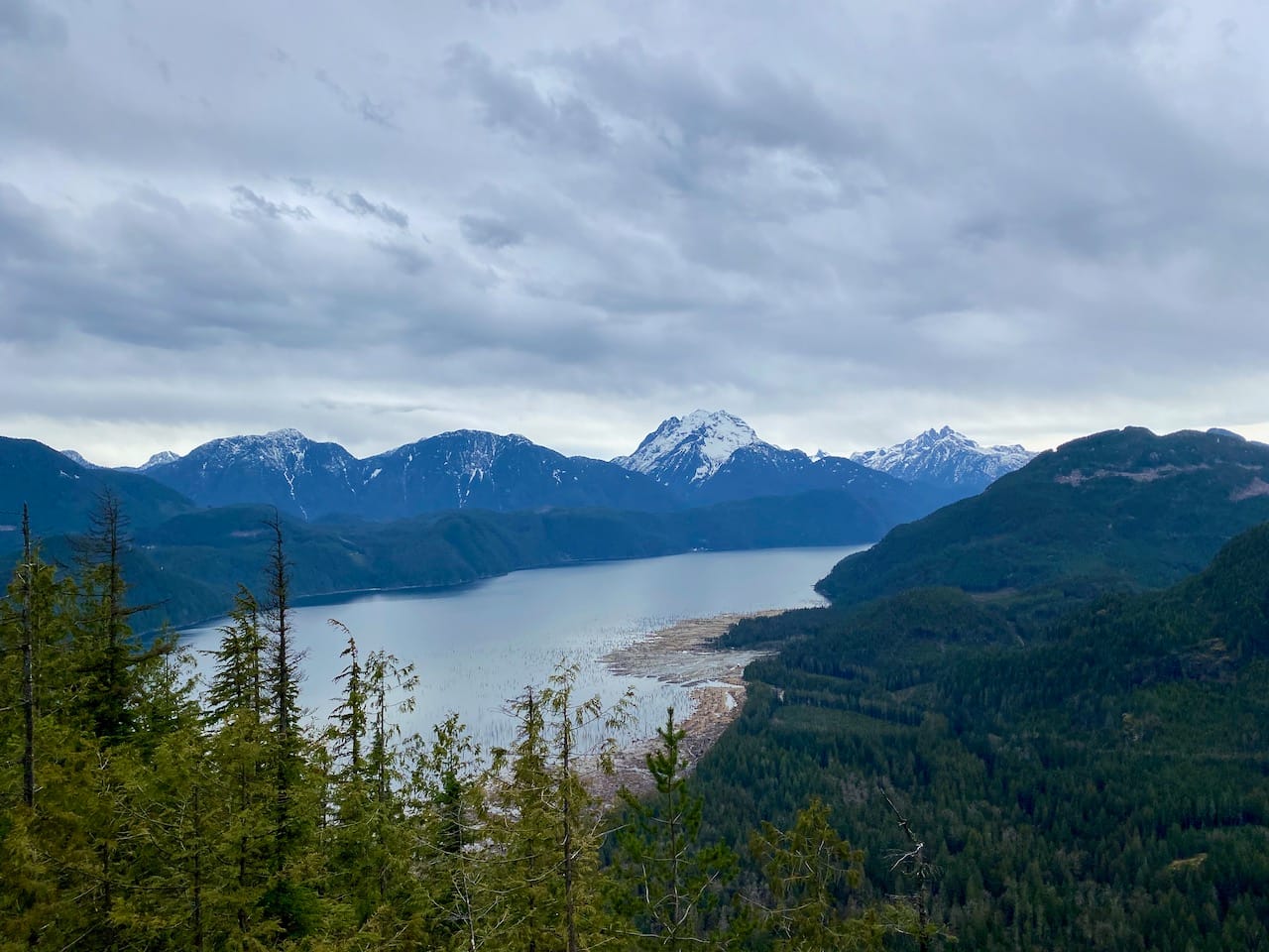
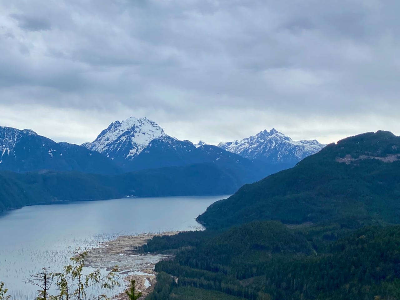
As I finished lunch, dark clouds started to roll in. I wanted to reach the peak and get back to the road before thunderstorms started in the afternoon so I picked up the pace.
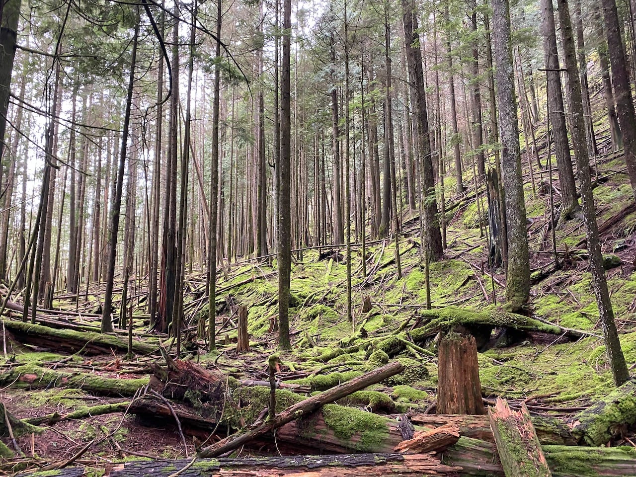
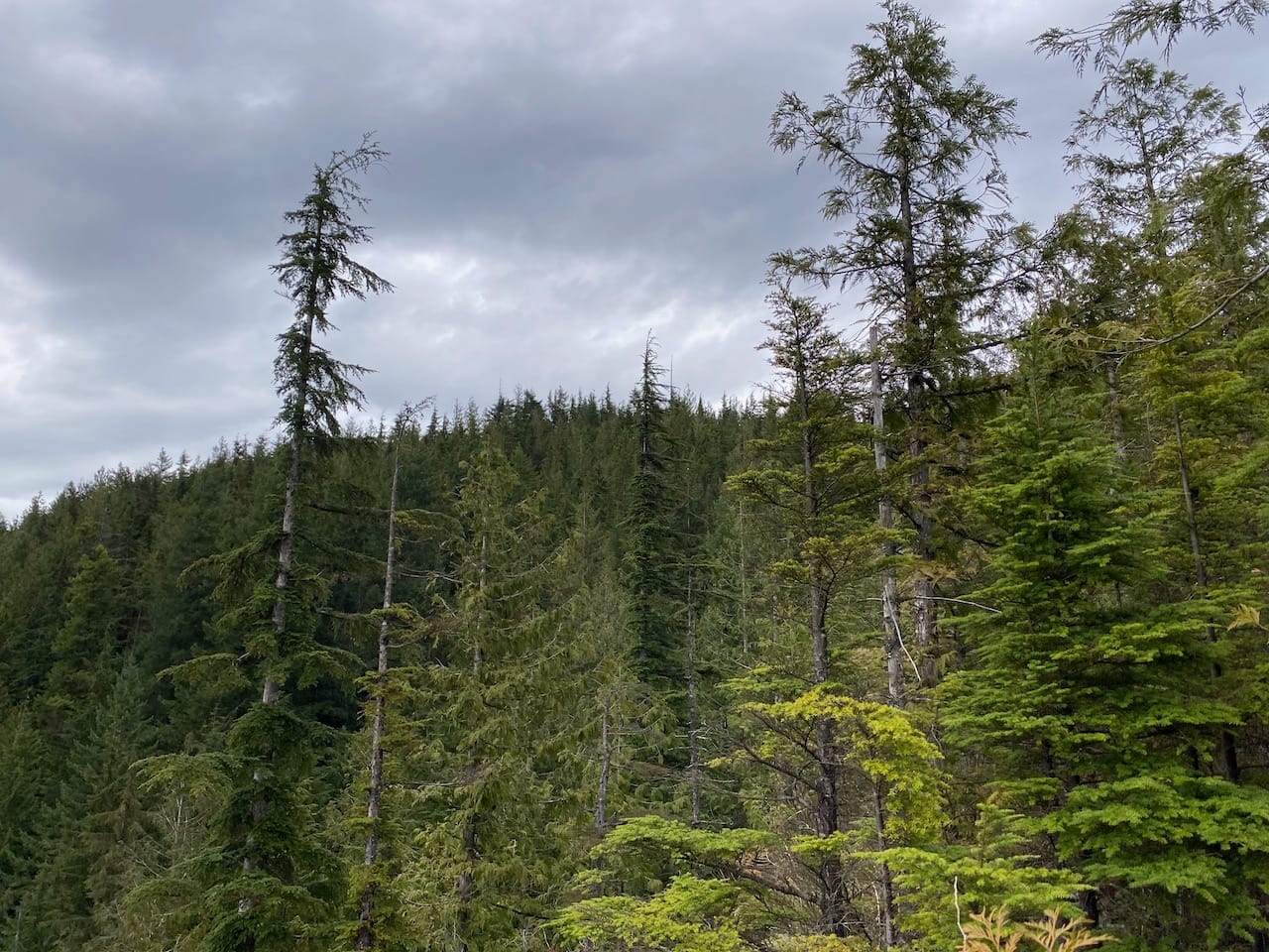
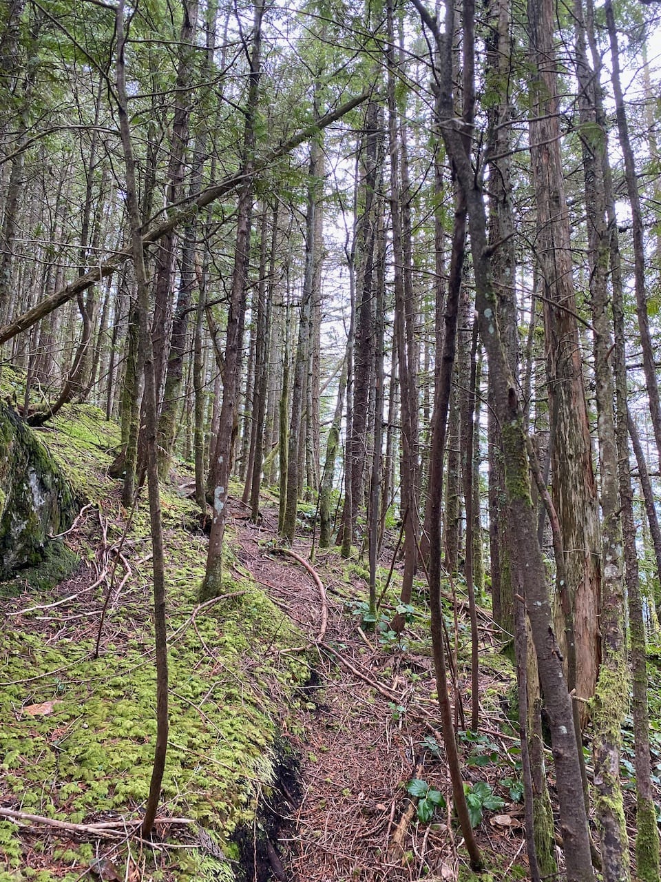
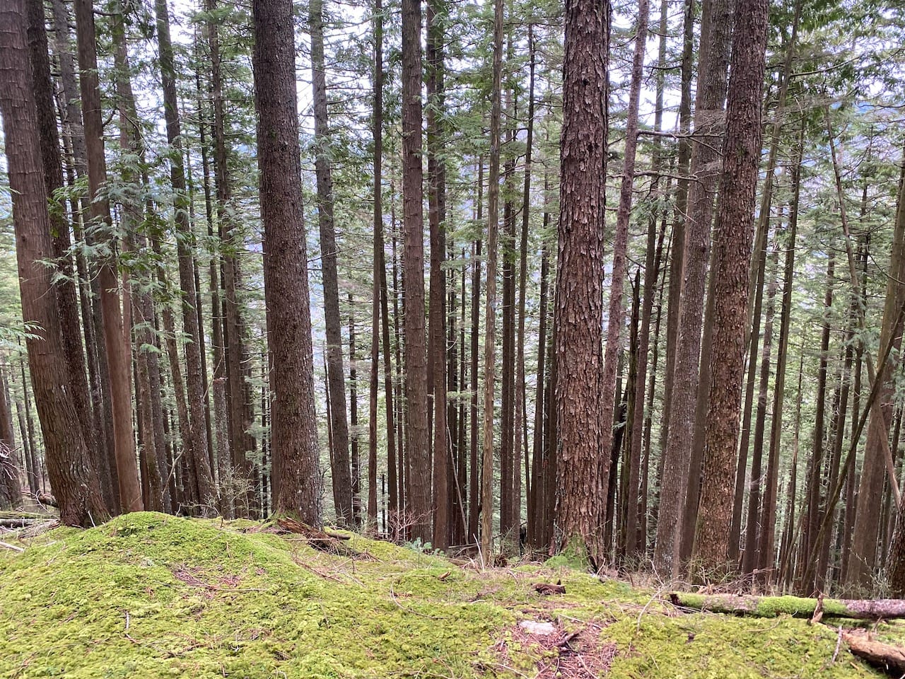
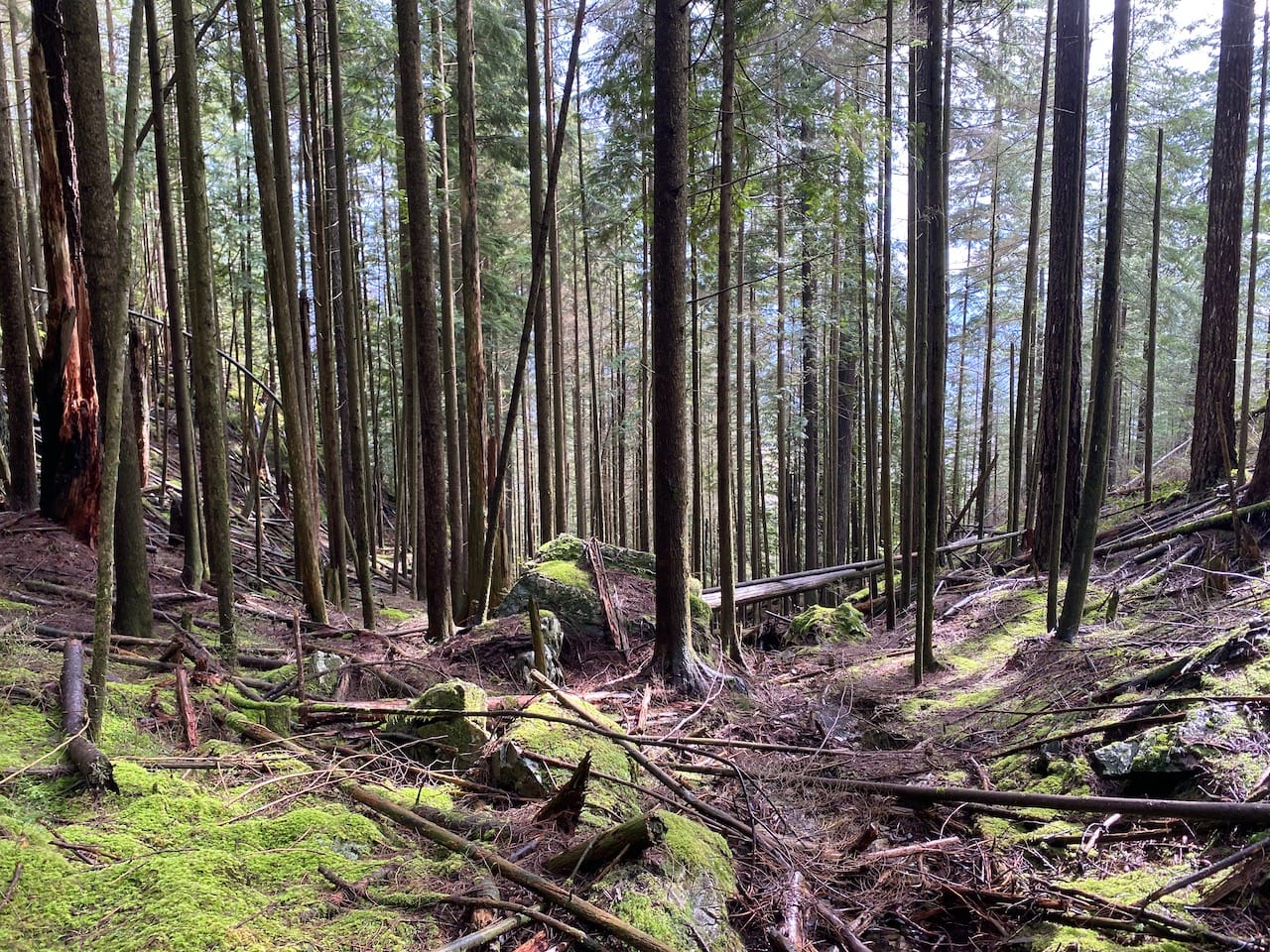
The plateau is densely covered in thin third-growth trees, much of which have fallen over, creating significant deadfall. However, the terrain is more open near the north side of the plateau, allowing me to avoid most but not all of the deadfall. Light rain started and stopped.
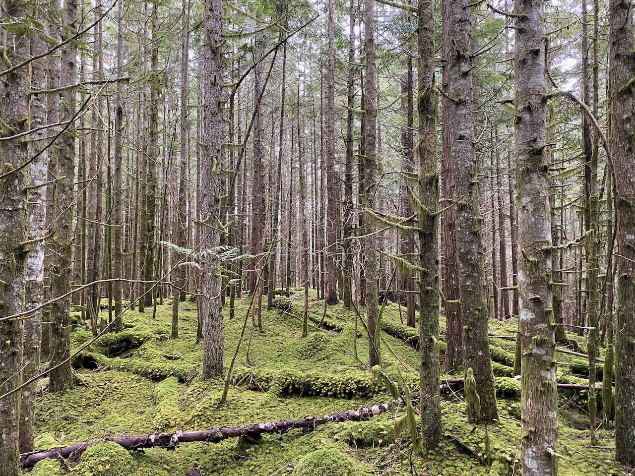
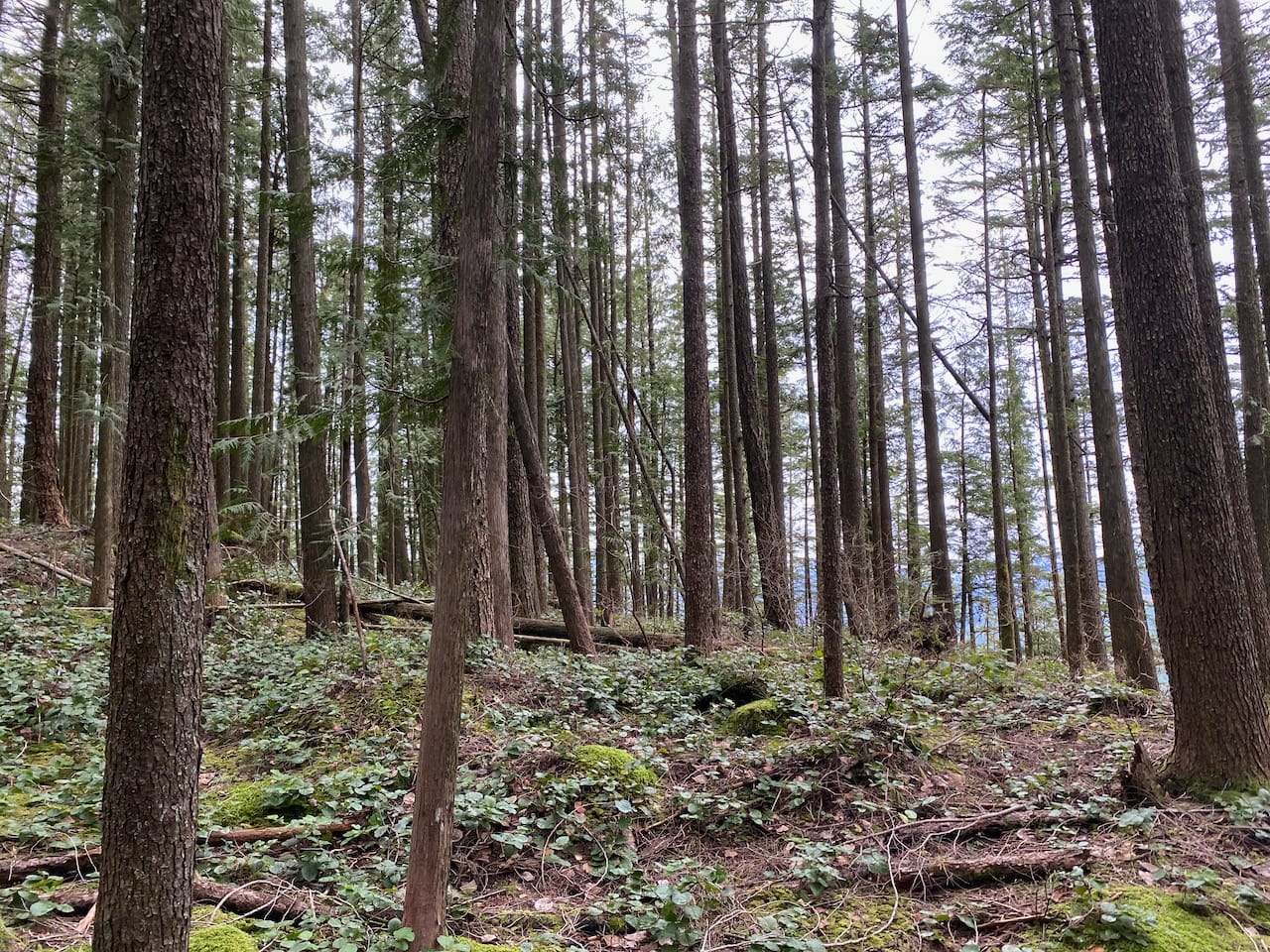
Just below the final climb, my route intersected the main route, where a very faint trail has formed. I followed this trail along the ridge, navigating one fun stretch of class 2 scrambling. One bluff on the way offers some views of Robie Reid. The summit is another forested plateau with no views.
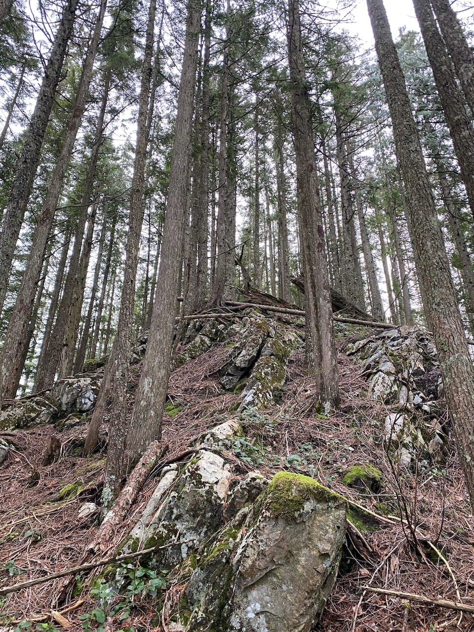
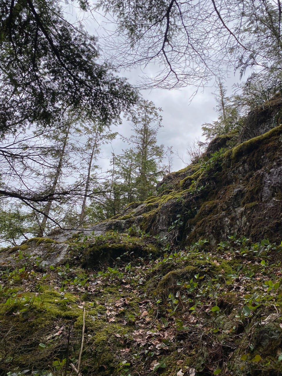
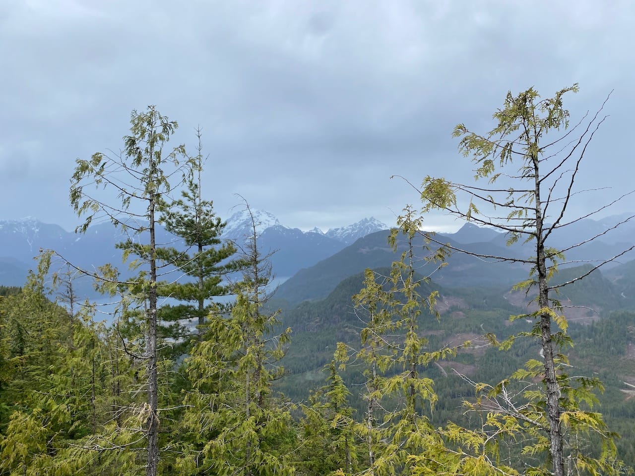
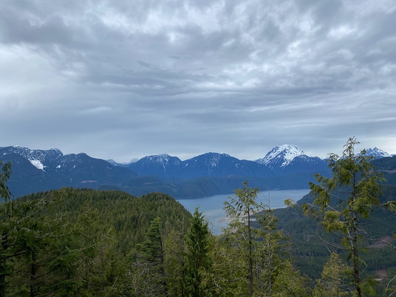
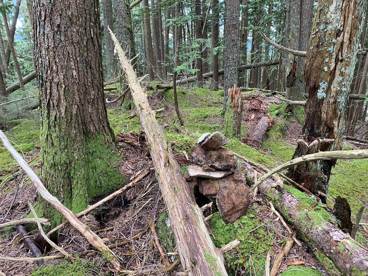
I retraced my steps along the plateau. It was darker now. The dense, rotting forest was eerily still. Calm before the storm. I tried to bypass the detour to the viewpoint, and ended up on another south-facing bluff with OK views of Stave Lake. It began to rain.
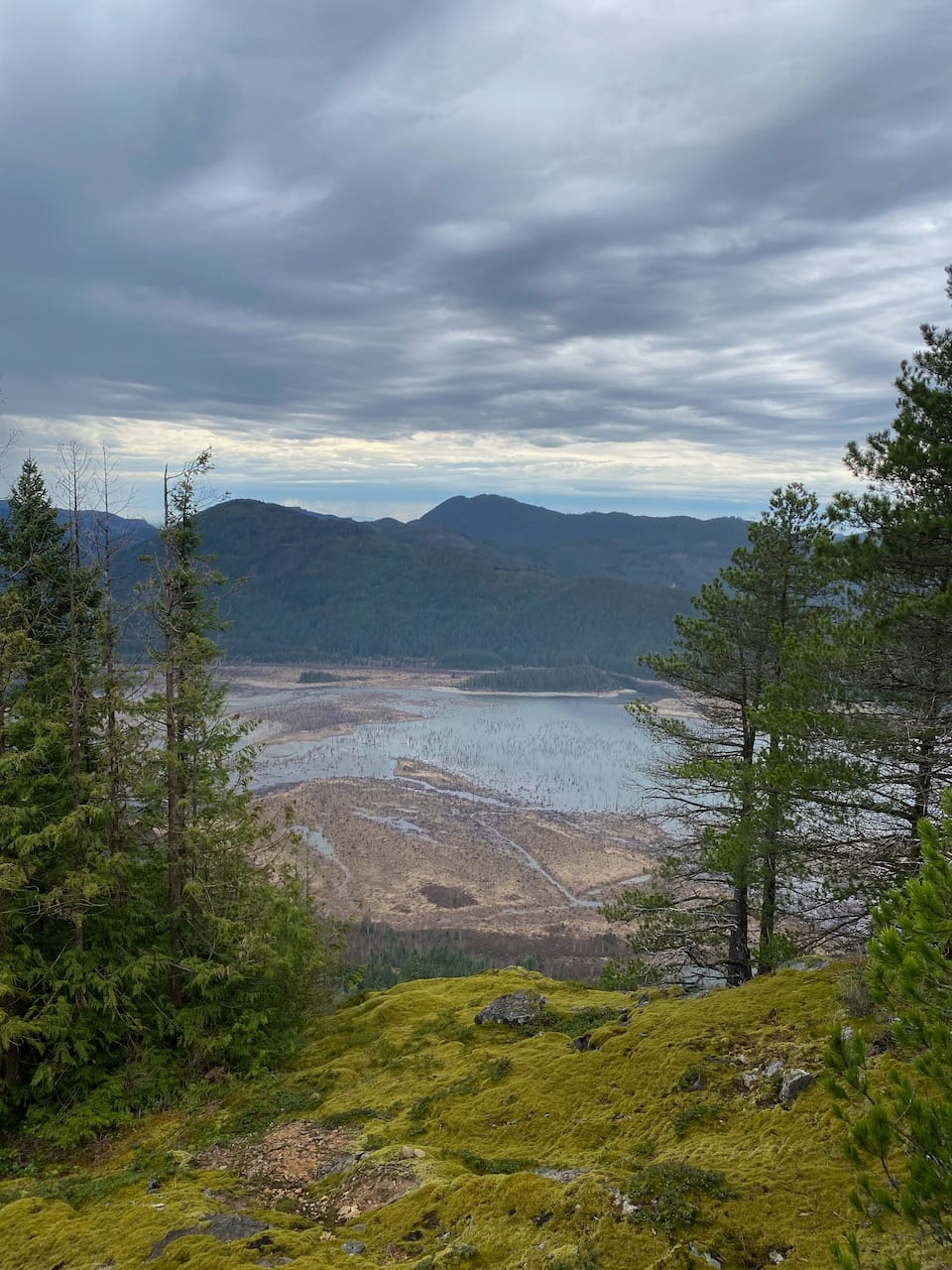
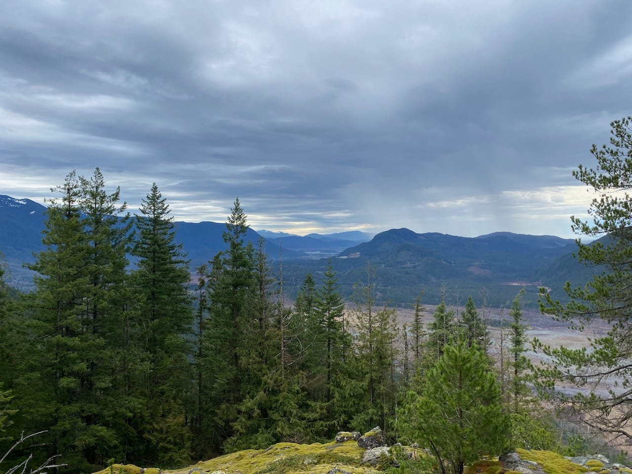
After returning to the plateau I saw some blue flags and followed them downhill for a while, but it turned out to be the wrong creek and I had to retrace my steps.
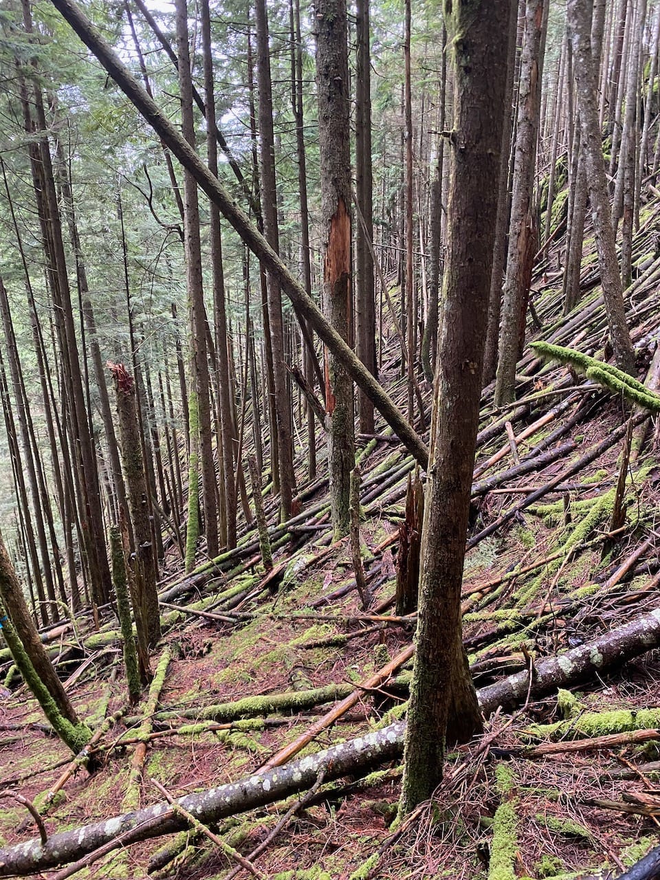
Eventually I found a route down to the second landing, navigating fallen trees and mossy slopes. From there I just followed the creek to the first landing, taking care not to slip.
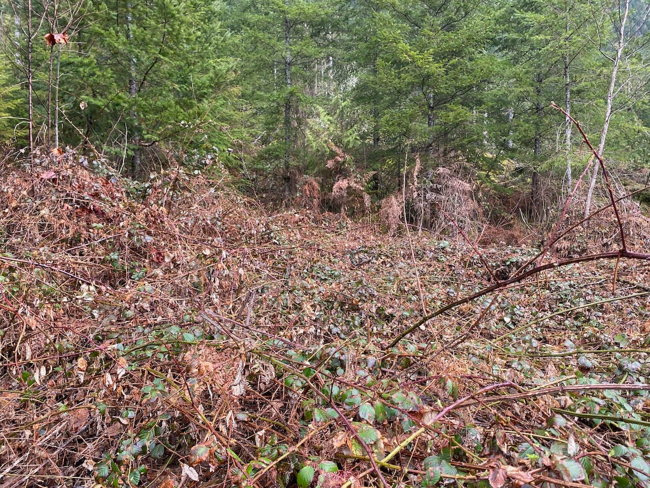
Below the first landing, I retraced my steps, but I exited the forest too far to the west, ending up in a large blackberry patch with frogs croaking all around me. The rain intensified, so I quickly jogged back to the bike and returned to the car, leaving the FSR just before the rain got worse. That concluded a surprisingly enjoyable and scenic adventure.


Member discussion