Gott Peak
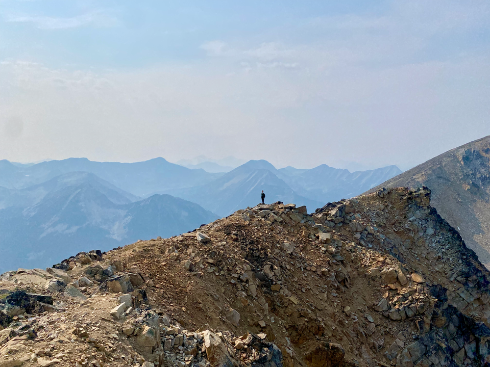
Date: September 8, 2024
Distance: 12.27 km (from the standard starting point at 1670m)
Elevation gain: 873 m
Blowdown Pass is located on the edge of the remote Stein Valley and provides access to many mighty mountains. Of the peaks surrounding the pass, Gott Peak is the easiest, with a well-defined trail to its summit. The long drive (it’s over an hour past Pemberton) deters the crowds that one might expect. The peak made it into the guidebook “Scrambles in Southwest British Columbia”, although there is no real scrambling along the standard route.
The mountain and its adjoining creek are named after Frank Gott, a renowned St'át'imc hunting guide, explorer, WWI veteran, and outlaw from Lillooet. For more about Frank Gott's story, see here and here. His name spawned several silly names for the neighbouring peaks: Gotcha, Notgott, etc. Note that the peak labeled as “Gott Peak” on Google Maps is actually Notgott. Gaia, OSM, etc. and the Scrambles book have the correct names.
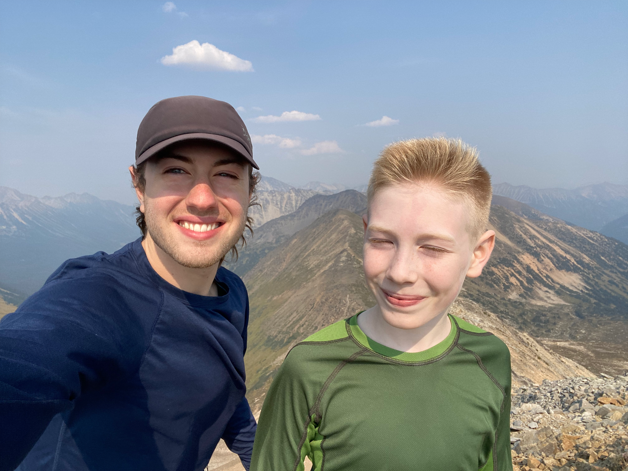
After two consecutive days of strenuous adventures, I wanted a relatively easy hike to do with my brother Angus, and Gott Peak fit the bill. The drive from North Van was long but uneventful.
Gott Peak is accessed from the Blowdown Creek FSR (instead of the Gott Creek FSR further along the Duffey Lake Road). The Blowdown Creek FSR was in good shape for about 10.5km. The road forks at about 1670m elevation, and we took the rightmost fork (southeast), which was in the best shape. This led to a large clearing with some wooden stakes and a faint trail leading east. The GPS track I downloaded was about 150m further uphill, but we decided to explore the trail here to see if it connected. Instead, the trail followed Blowdown Creek through some muddy patches, and faded out after a couple hundred metres, so we turned around.
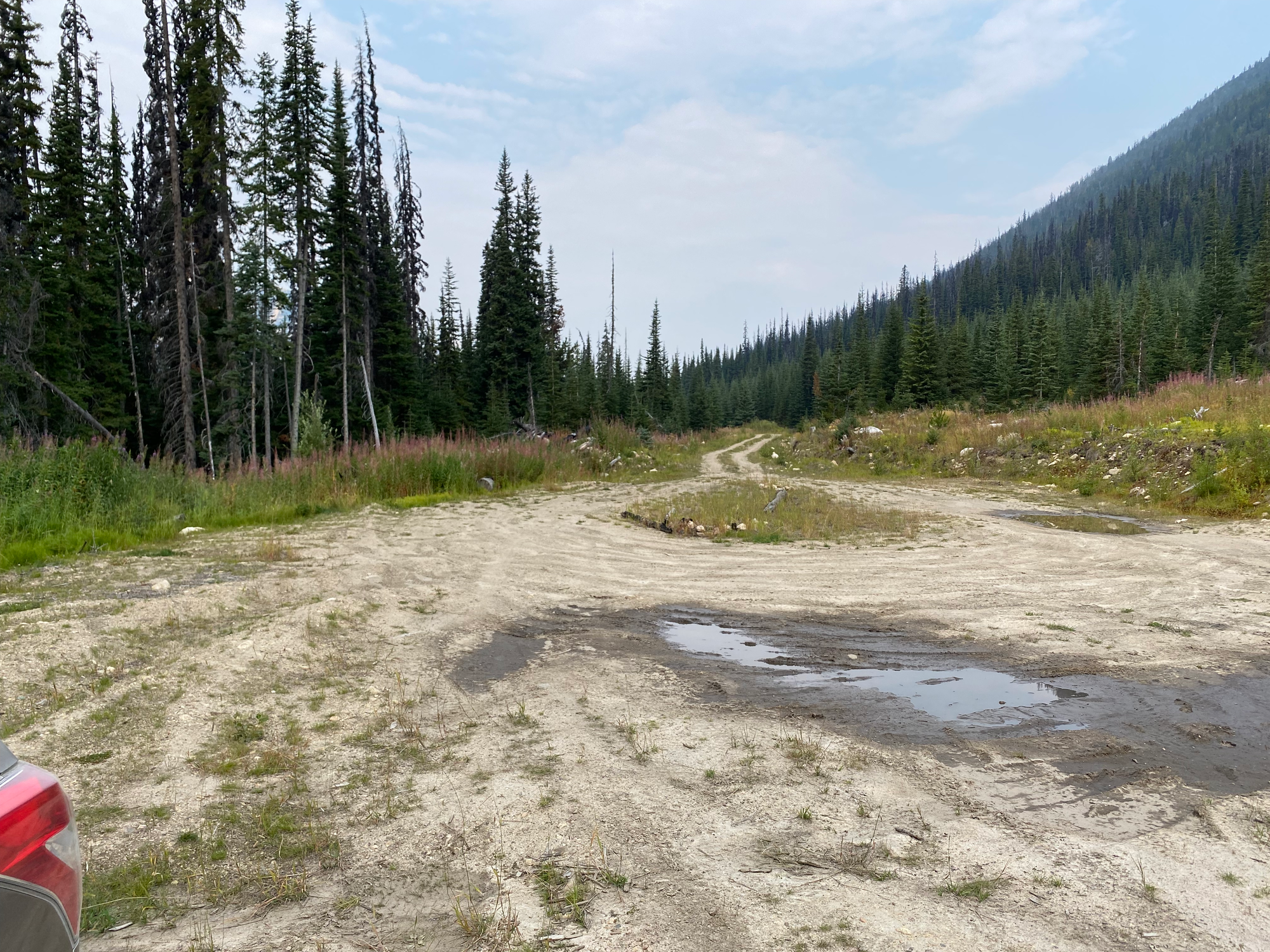
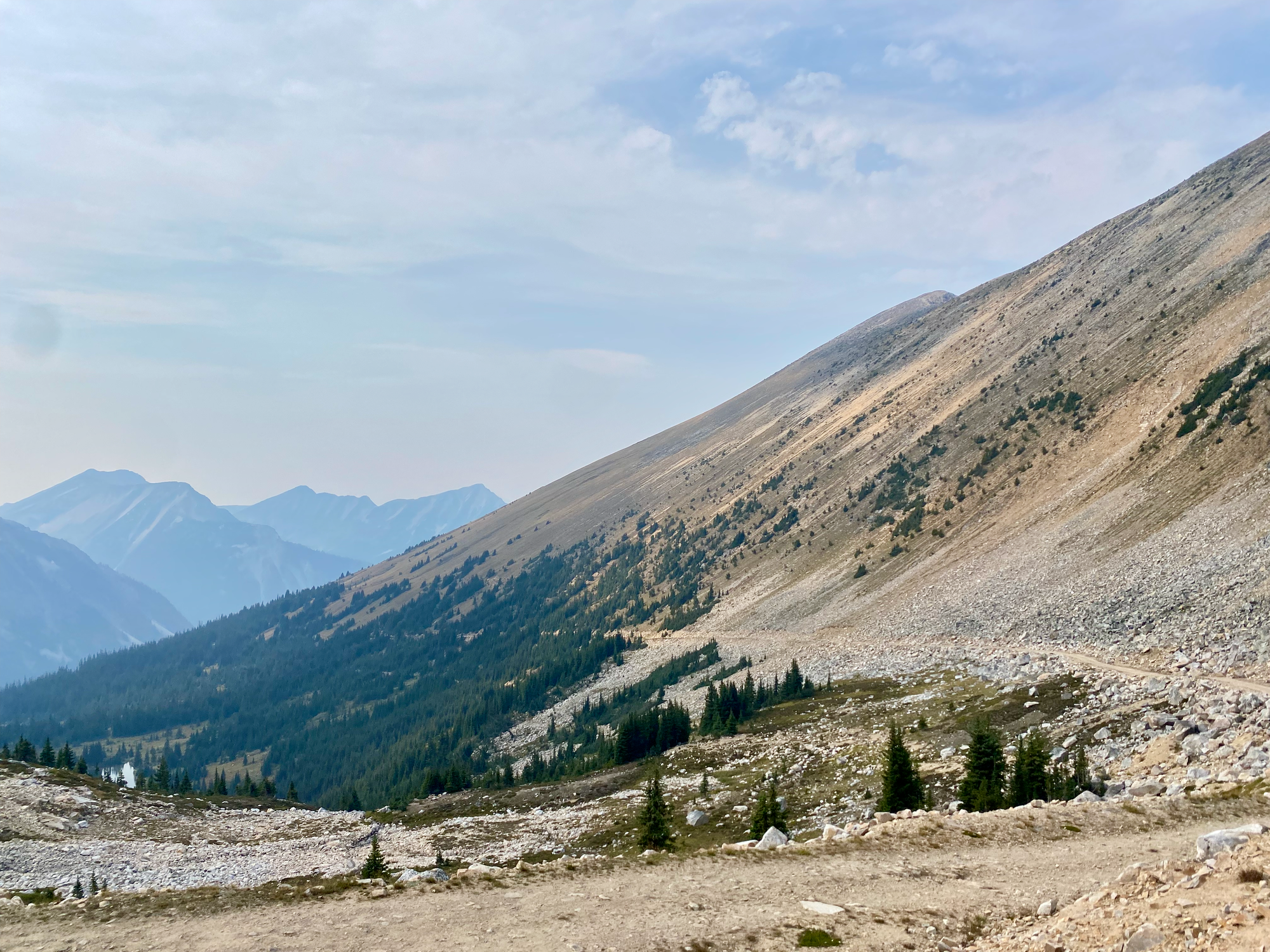
We returned to the fork at 1670m and parked there. The correct path was along a spur road which switchbacked to the north, then headed east. The switchback had a long section of steep and loose rock, stopping our car, but a determined driver with a high clearance-vehicle and little concern for their paint job could make it a couple kilometres further along the spur. Instead, we walked.
At one point we were passed by a large school group or similar, the only other group we saw.
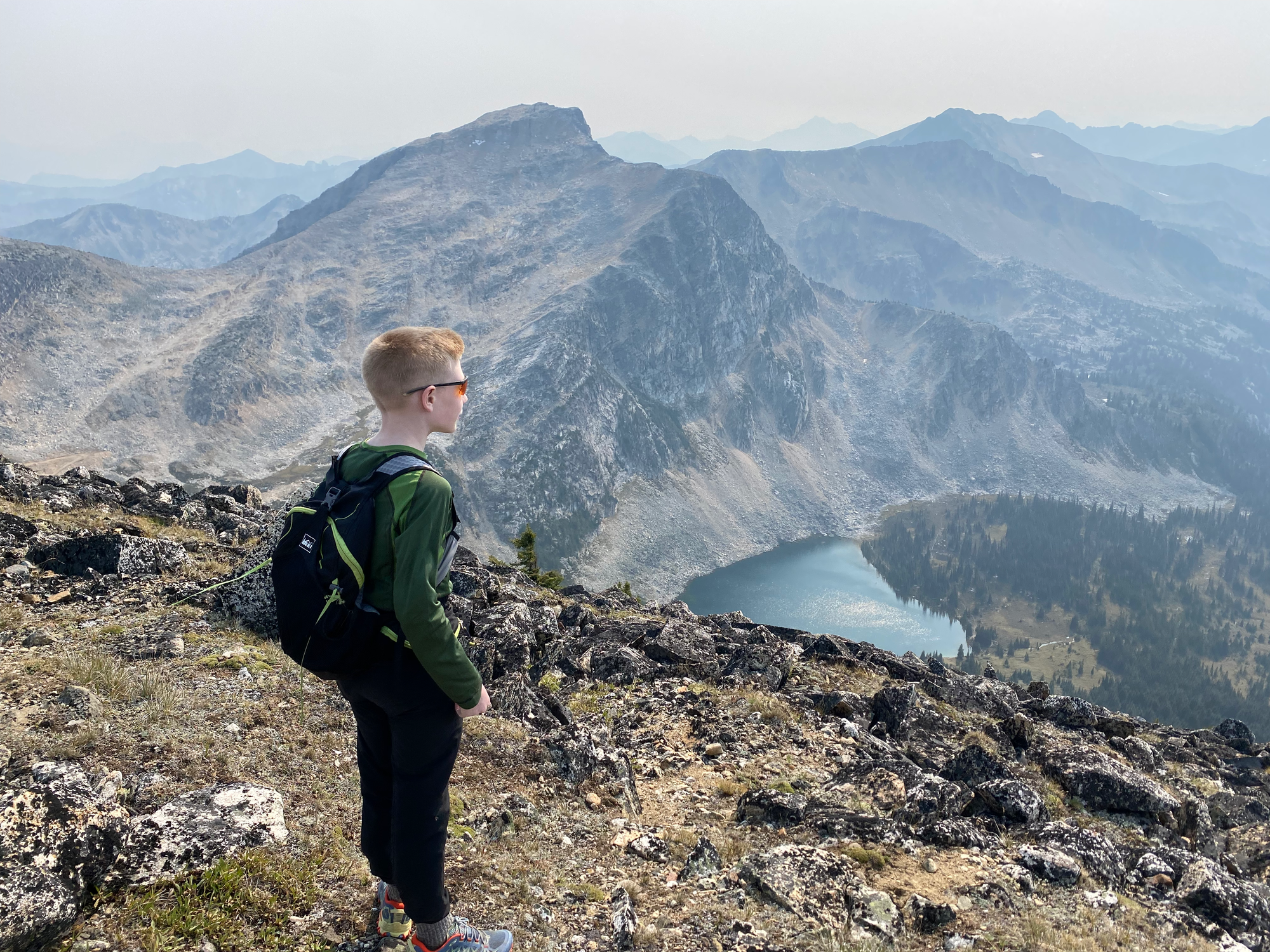
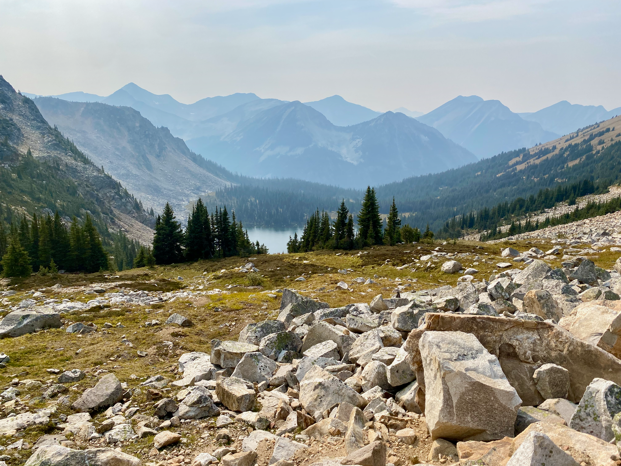
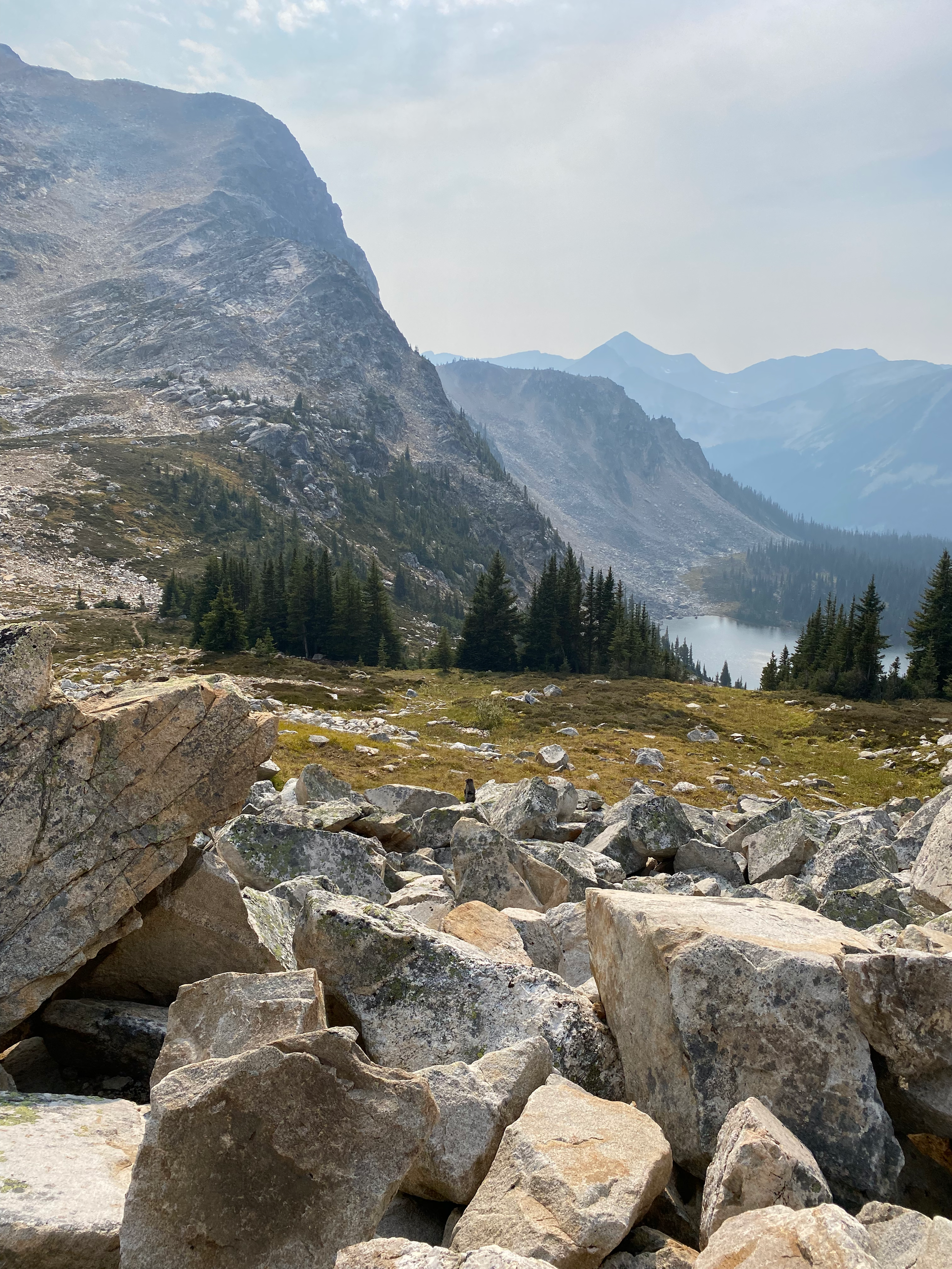
After about three kilometres, we emerged above treeline, giving us views of Gott and Gotcha Peaks and Blowdown Lake. After one final switchback, we reached Blowdown Pass. The road continues east from here - it once led to a mine - but it has been deactivated for motor vehicles. This is one of the western access points to the Stein Valley.
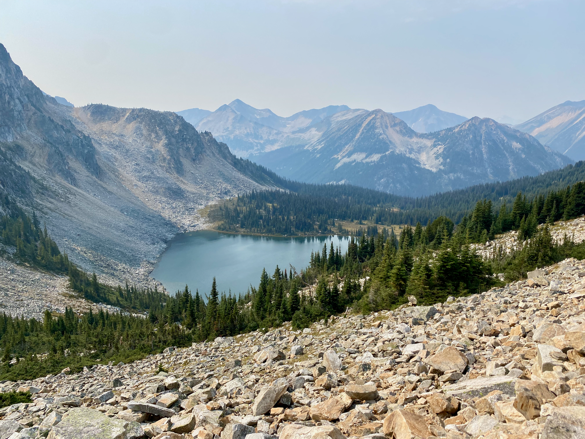
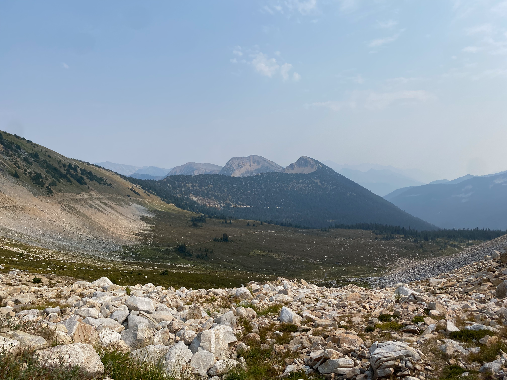
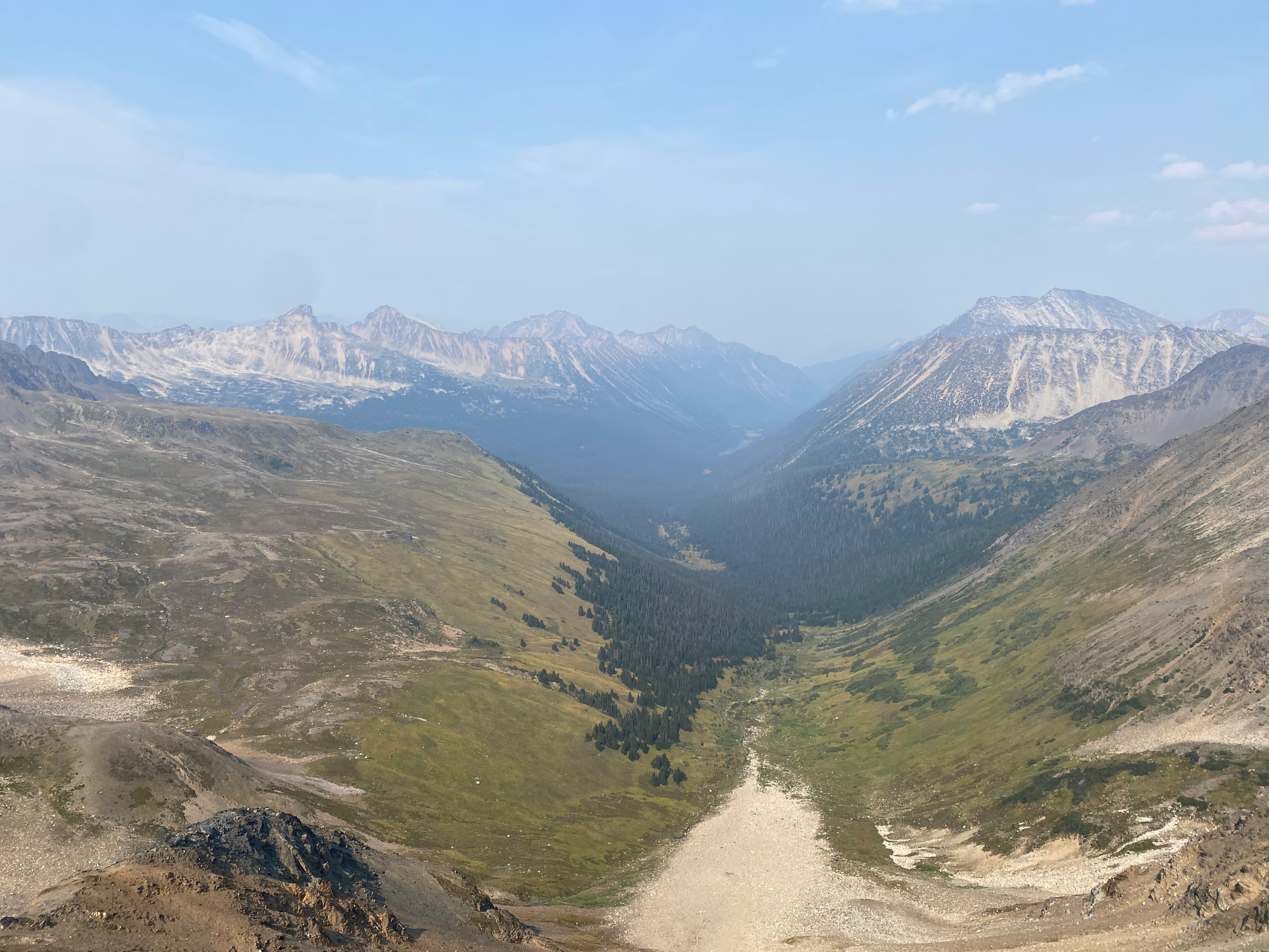
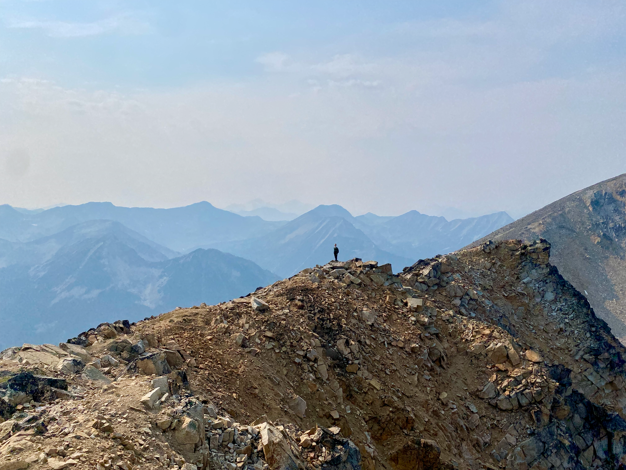
We continued north, following a faint trail up the slopes of Gott Peak to a false summit. From here we had panoramic views of the nearby peaks, although wildfire smoke made the surroundings hazier.
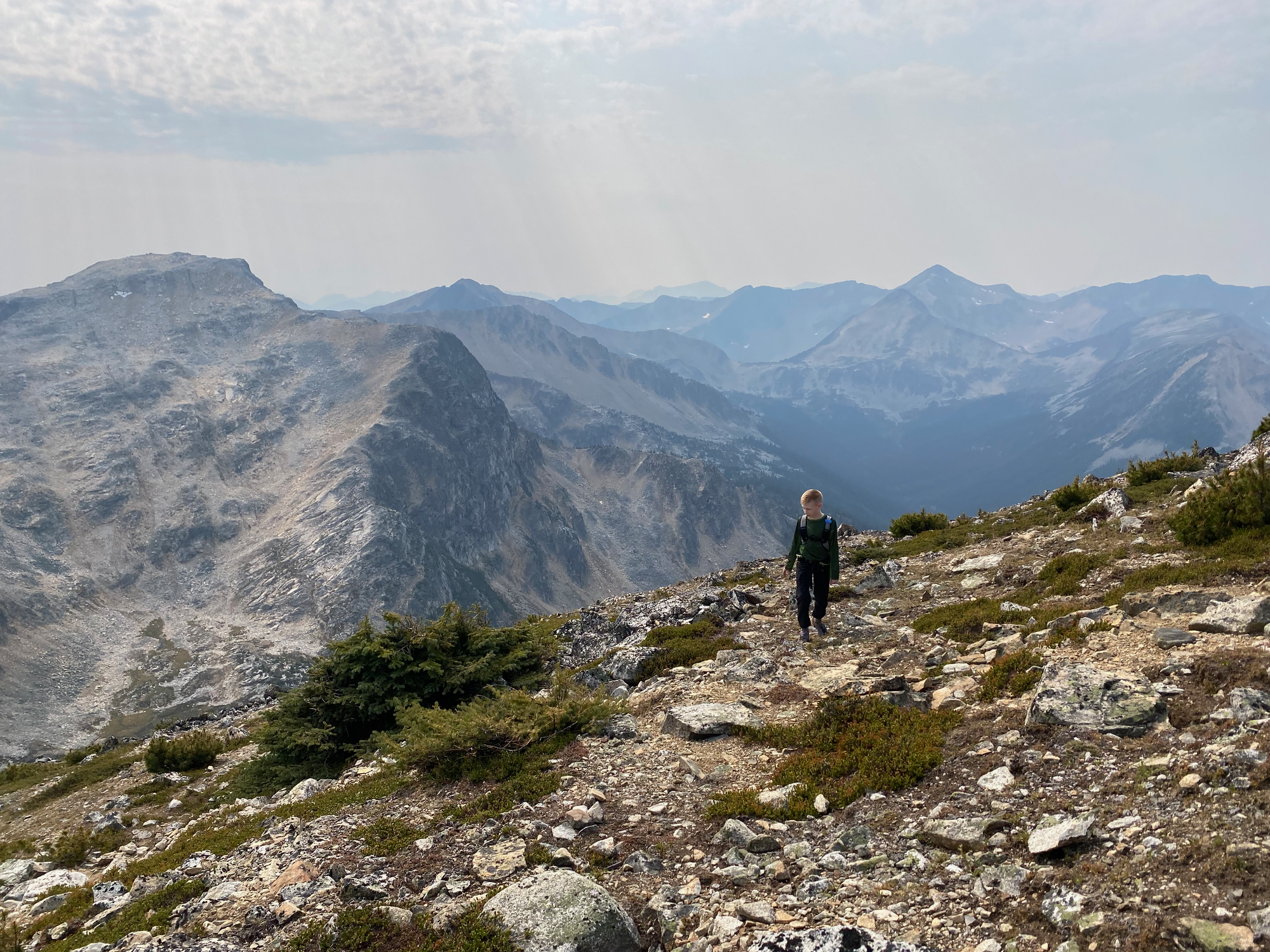
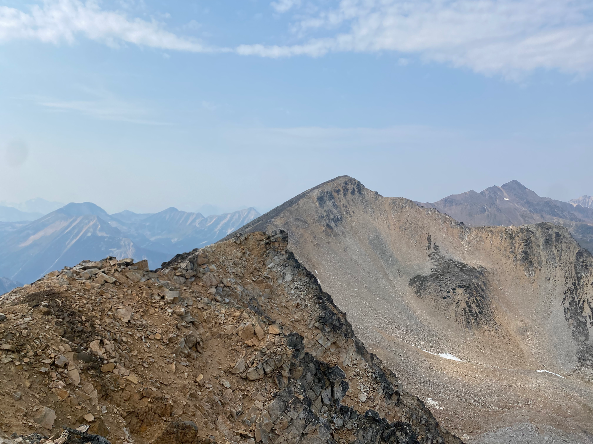
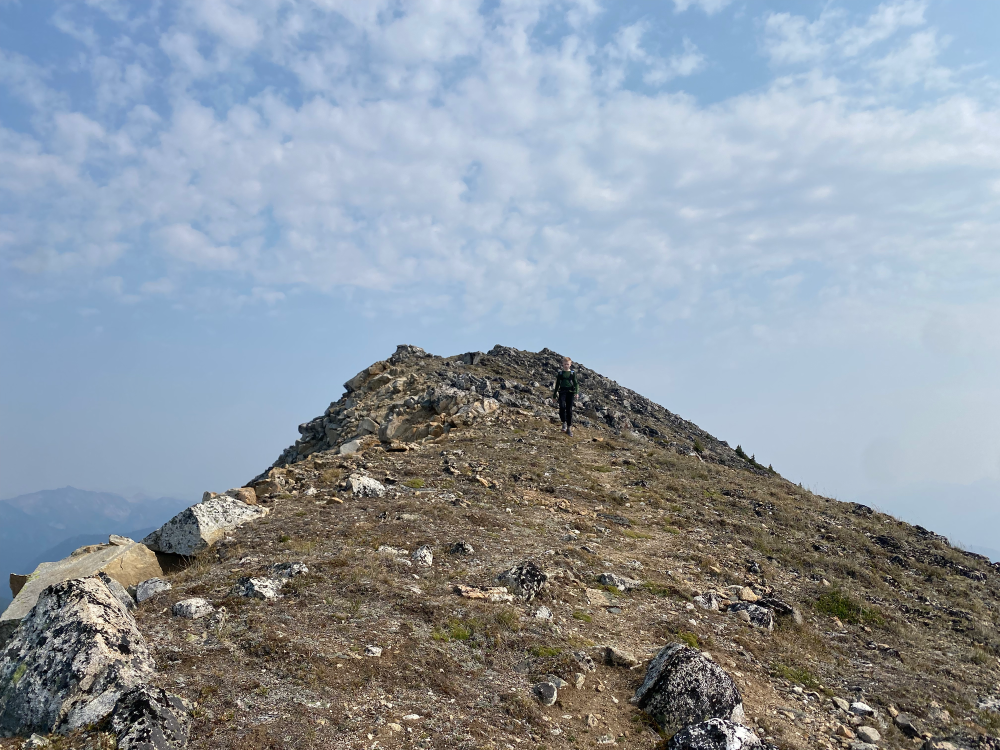
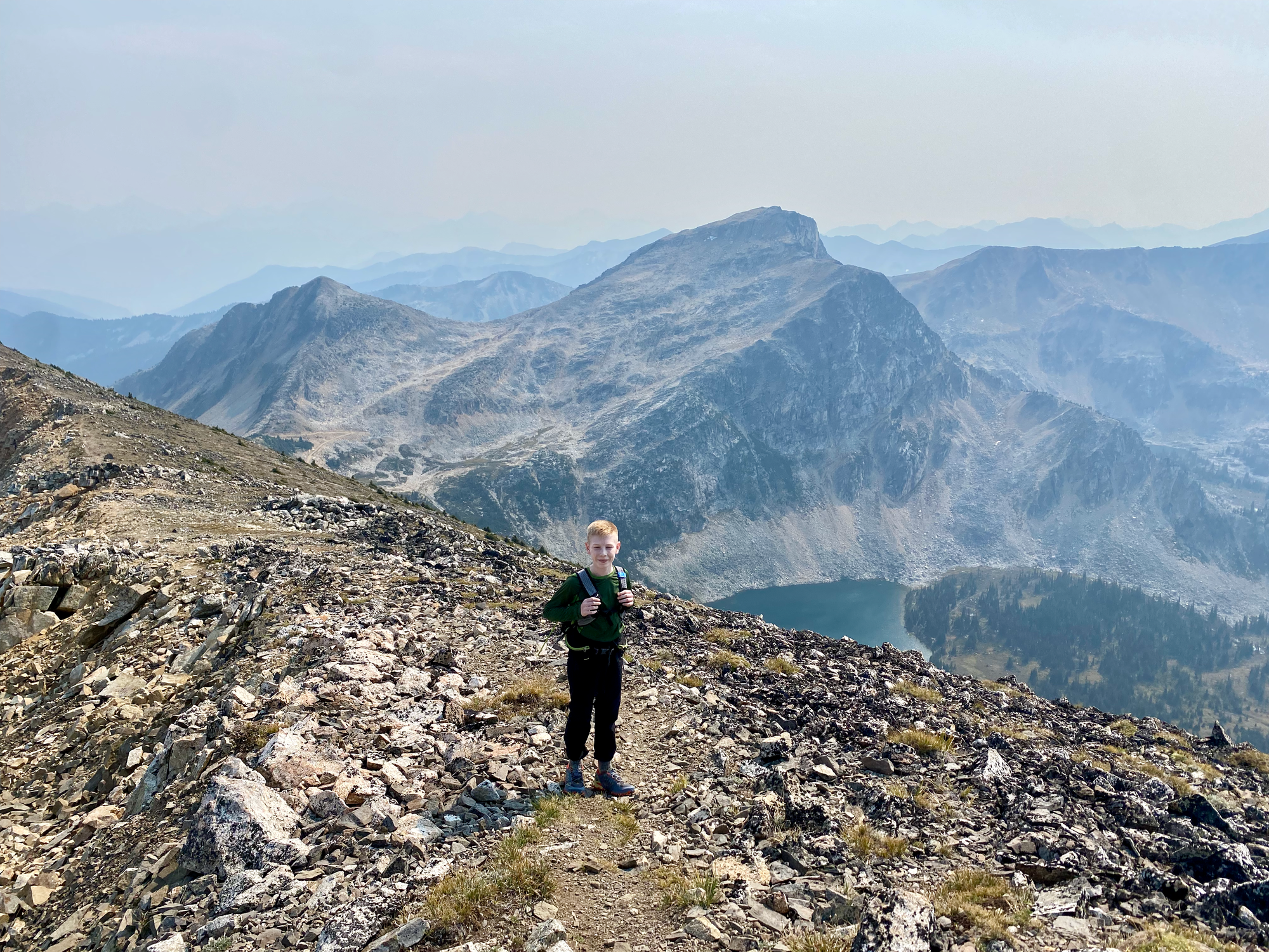
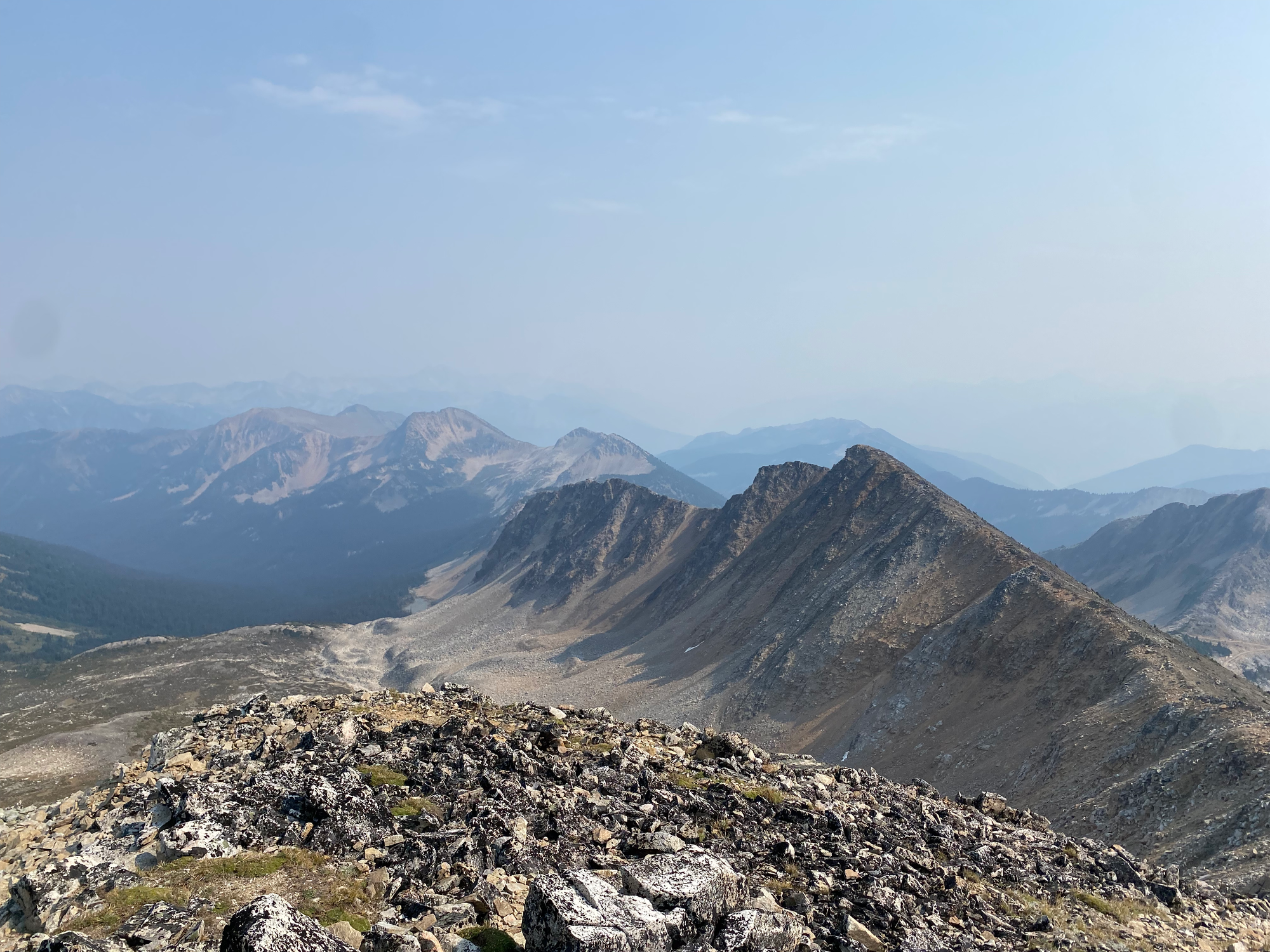
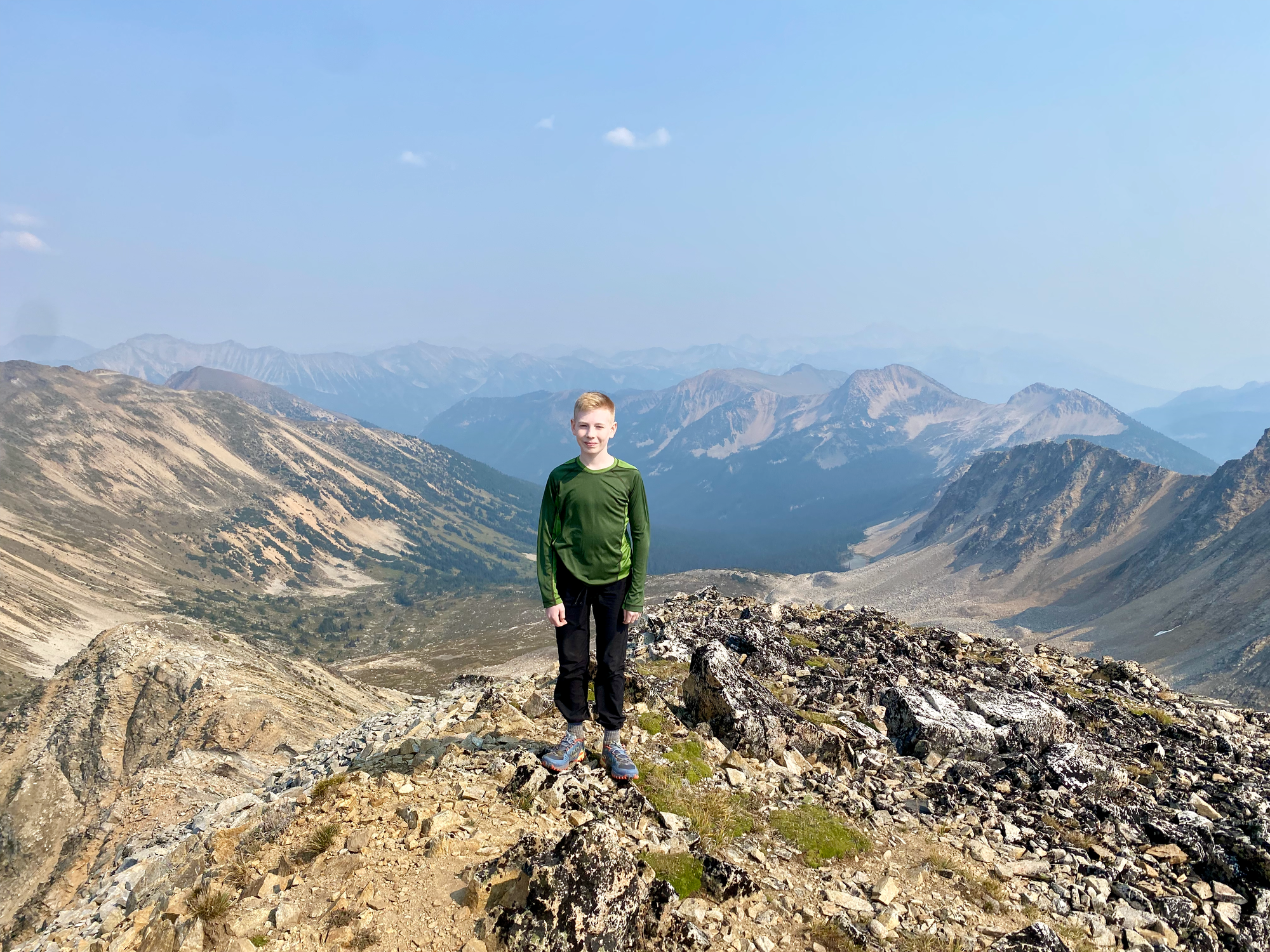
The true summit was about 1 kilometre further east. The ridge between the two sloped somewhat gently to the south and presented no exposure or scrambling. As expected the views were great. The ridgelines continue for miles on either side of Gott Peak and I spent some time thinking about future multi-day ridgeline adventures.
We left the summit at around 2:30pm and returned along the ridge. Some groups have dropped down the meadows on the south side of the peak to cut back to the road, but we didn't do that.
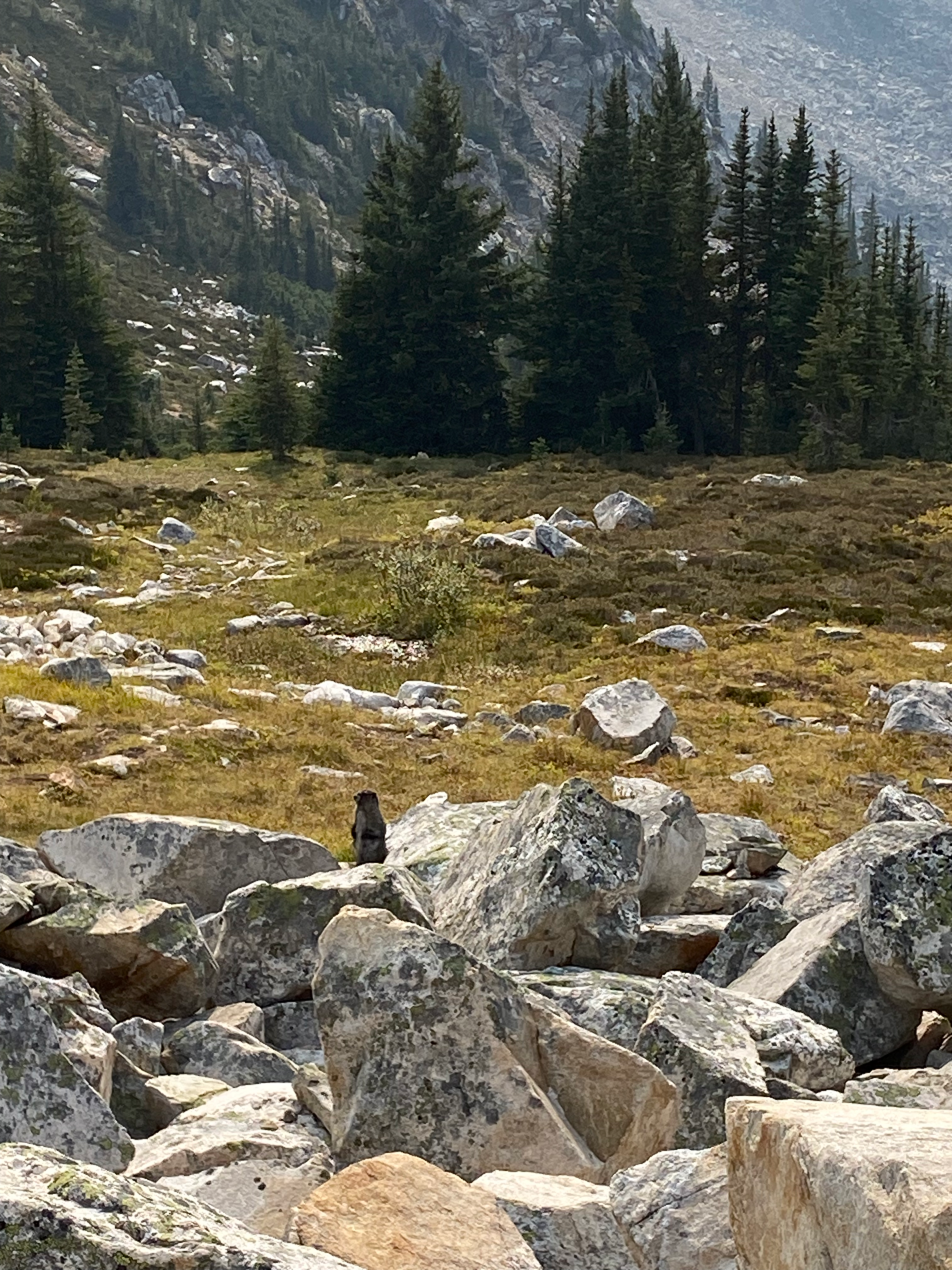
The boulder fields surrounding Blowdown Pass are prime marmot habitat and we saw three different marmots chilling on the rocks. We did not resist the temptation to take lots of Instagram photos. Eventually we made it back to the car and began the long drive home, with a brief stop in Squamish to scout out river conditions for another adventure.
It was a spectacular day with great company and I’m definitely coming back to the Blowdown Pass/Stein Valley area soon.


Member discussion