Cougar Mountain
Date: December 27, 2024
Distance: 11.5km
Elevation gain: 904m
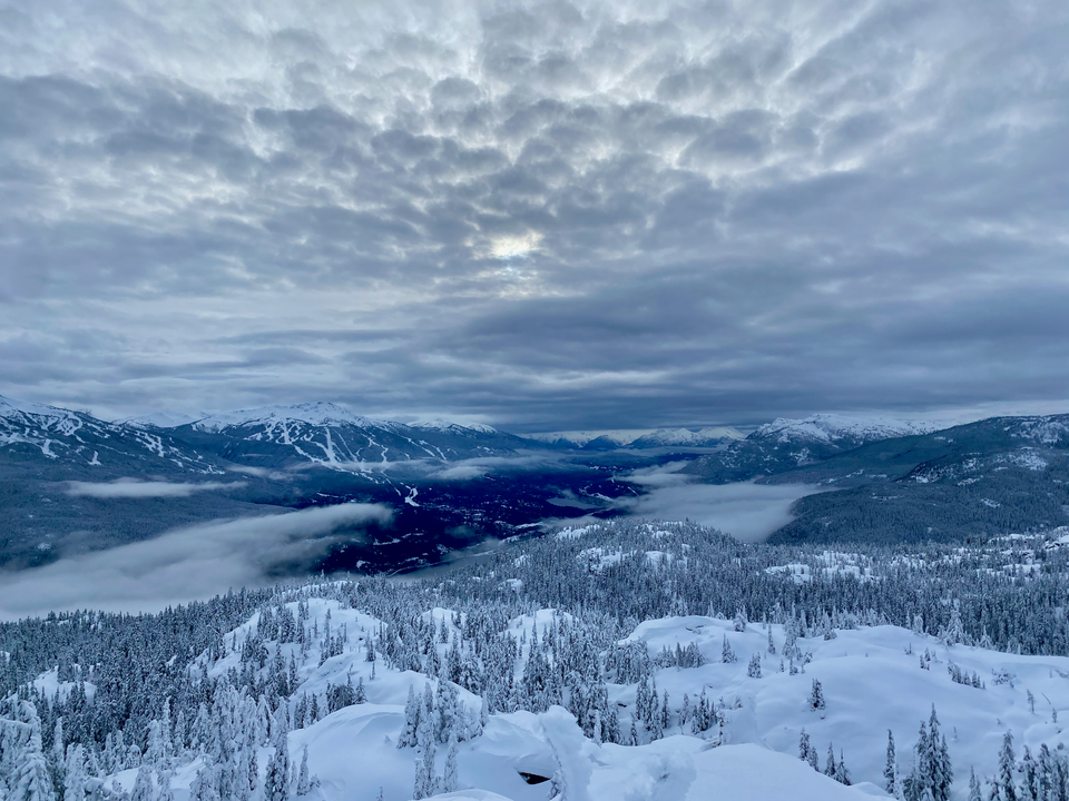
Cougar Mountain is a smaller prominent peak 15 minutes north of Whistler. Its location gives it a good vantage point of Wedge, Rainbow, and Whistler. In recent years, it’s seen a bit more attention as a snowshoeing trip, especially on days with high avalanche risk when other peaks are too dangerous. However, it’s still pretty obscure, partly due to the dicey parking situation, lack of official trail, and non-trivial routefinding involved.
I did a snowshoeing trip to Cougar Mountain in late December. This was an awkward time for this peak, since the route crosses some boulder fields. There was enough snow to cover the boulders, but not enough to avoid postholing. Late January to April would be a better window for this peak, with a deeper snowpack. The peak has also been hiked in the summer and fall, but a decent amount of scrambling is needed.
The original plan for this day was Vantage Peak, but the avalanche forecast was much higher than previously forecasted, the highway was quite icy, and I was alone, so Vantage was off the table. Cougar Peak was on my radar for this sort of situation, since there is far fewer avalanche terrain on this peak than elsewhere in this area. Of course, there are still steep areas prone to avalanches, and caution should be used.
The most commonly used trailhead is at (50.167487, -122.900162), a pullout on the road next to the Whistler sign. This is between two blind corners and is sometimes not fully plowed in the winter. At least one car has been towed here. When I arrived, the pullout wasn’t fully plowed so I parked elsewhere.
The safer option is to park 600m further west, at a plowed area adjacent to the turnoff for the Whistler heliport. From there, I walked along the highway, navigating trees and bluffs on the side of the road. A safer option, which I used on the descent, would be to walk up the heliport road for about 150 metres, then cut north into the forest, connecting to the “Kill Me Thrill Me” mountain bike trail, which leads east to the main route. Do not walk onto the heliport; leave the area immediately if a helicopter is taking off or landing. I see why this peak isn’t done often.
Either way, you should eventually end up on the “Bears n’ Ugliness” mountain bike trail, which heads north through pine-covered bluffs. The snow was very inconsistent up to 800m, and I found myself alternating between deep snowdrifts and bare rocky areas that would have damaged my snowshoes. Things got more consistent around 800m and the snowshoes came on. There were a few steep rocky patches, but all of those could be bypassed. A few open areas would present some views in clear conditions.
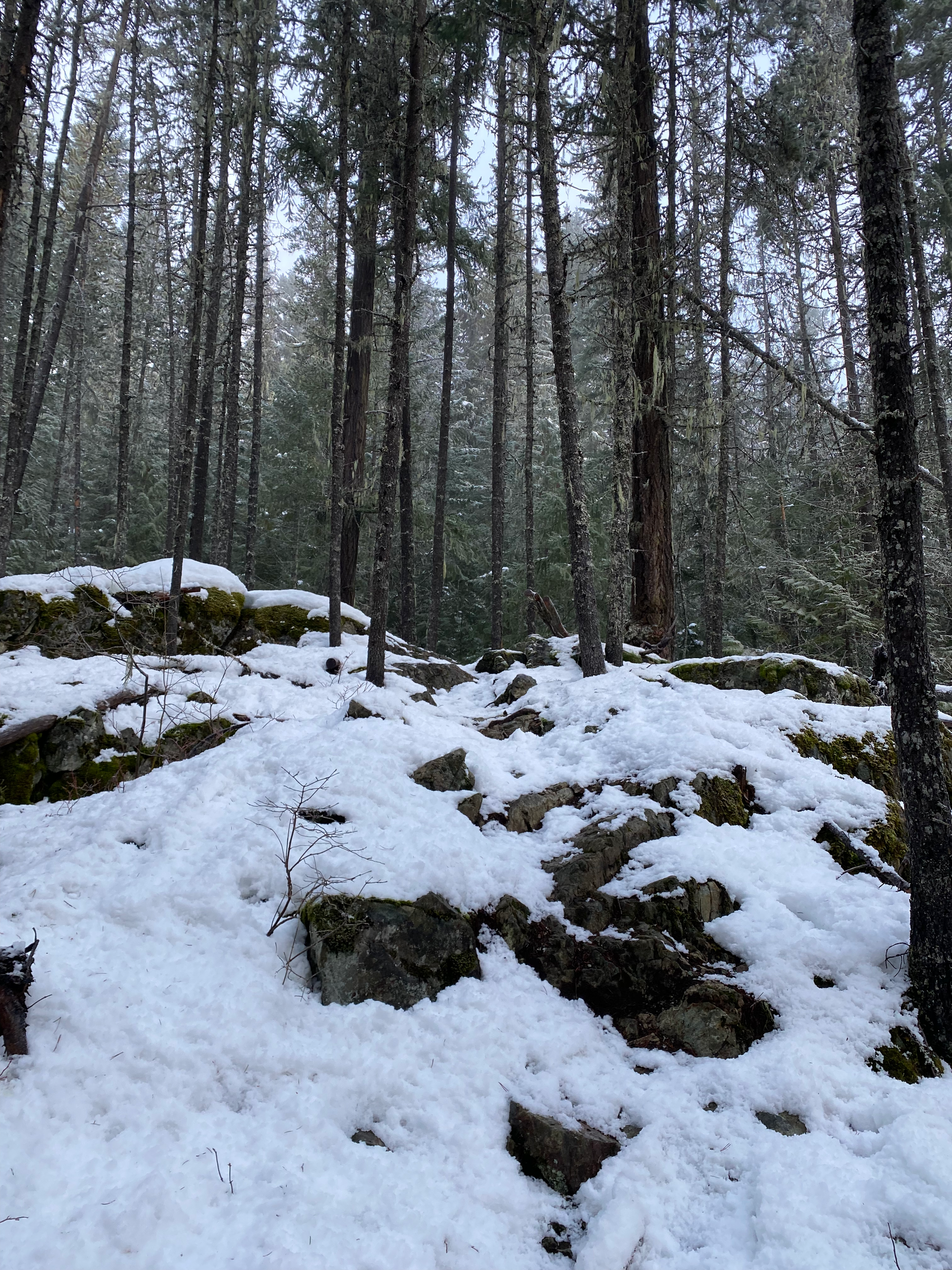
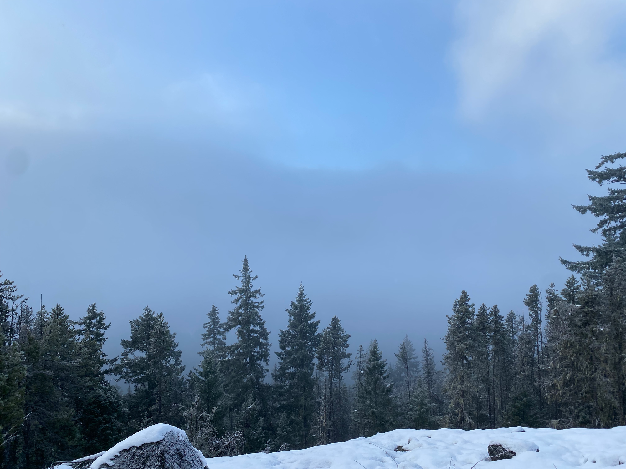
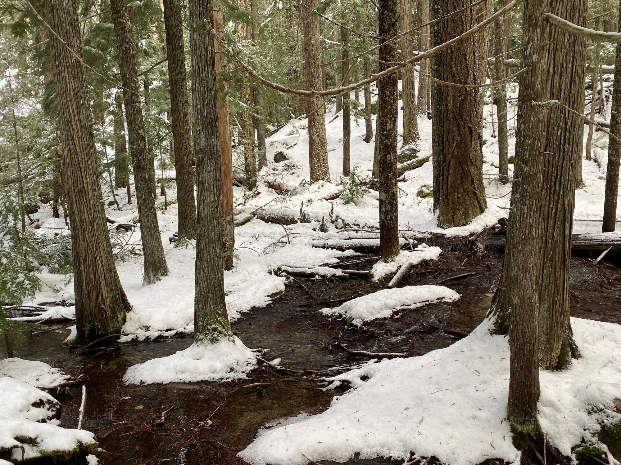
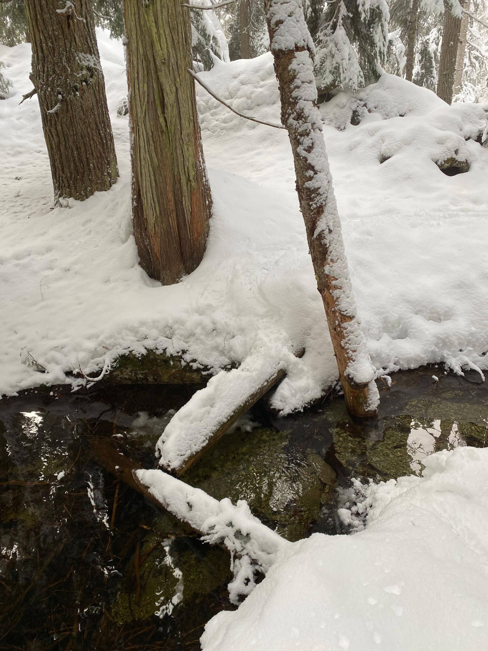
At about 900m the trail started to follow a creek valley through pleasant old-growth forest. The creek had to be crossed at one point, but I was able to stay on snow the whole time.
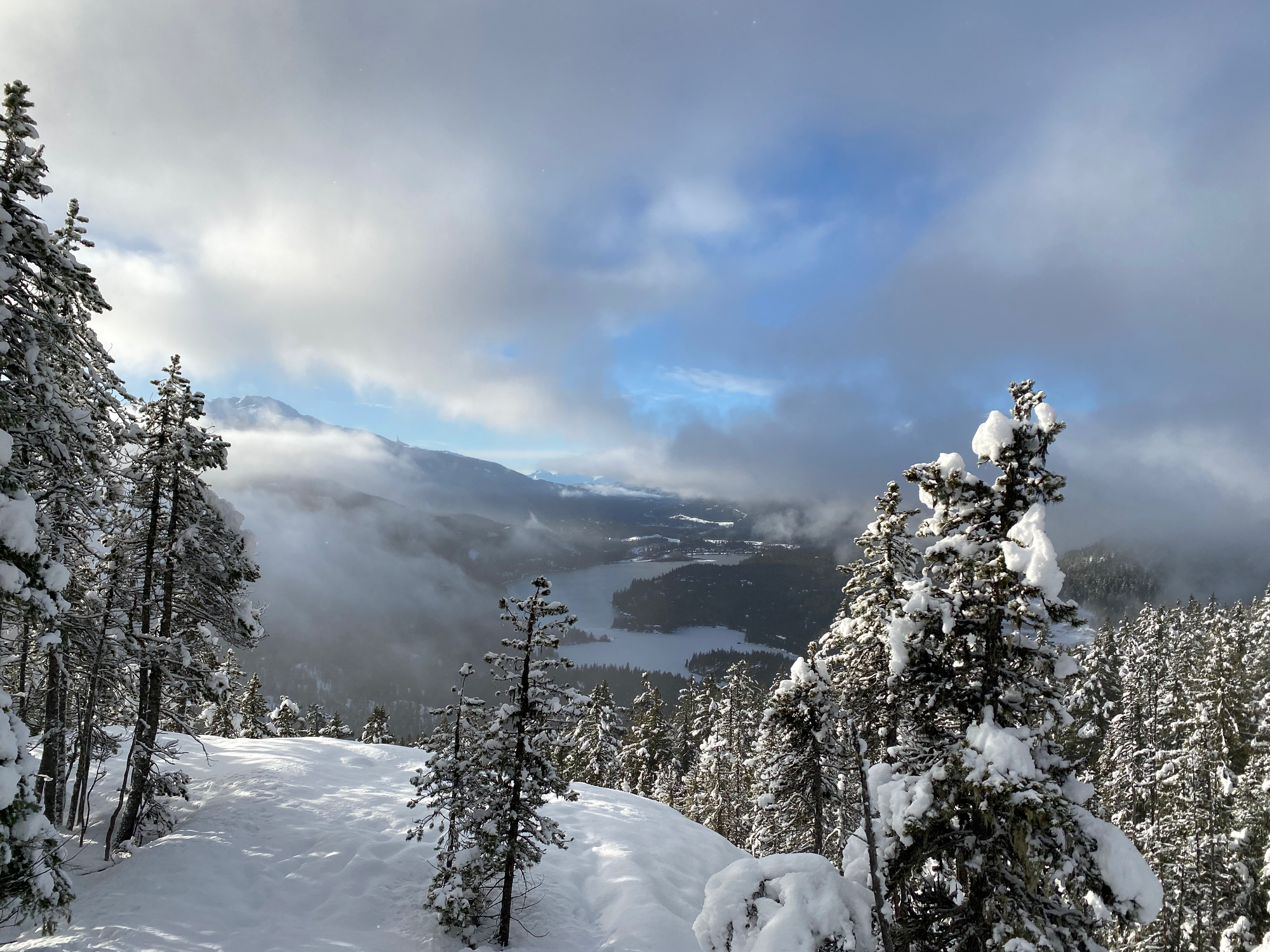
At 950m, a short detour led to an open area with views south to Green Lake and Whistler.
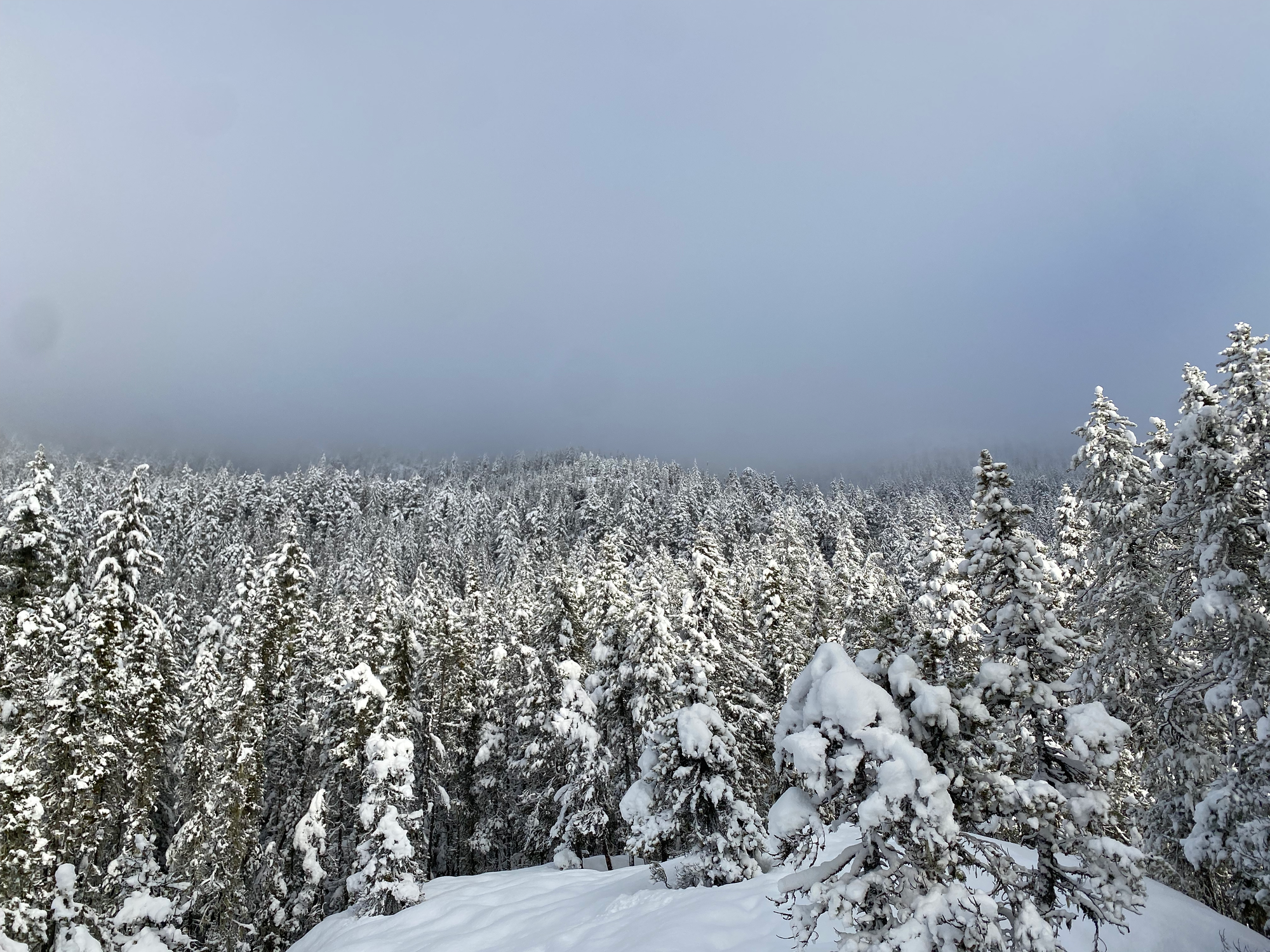
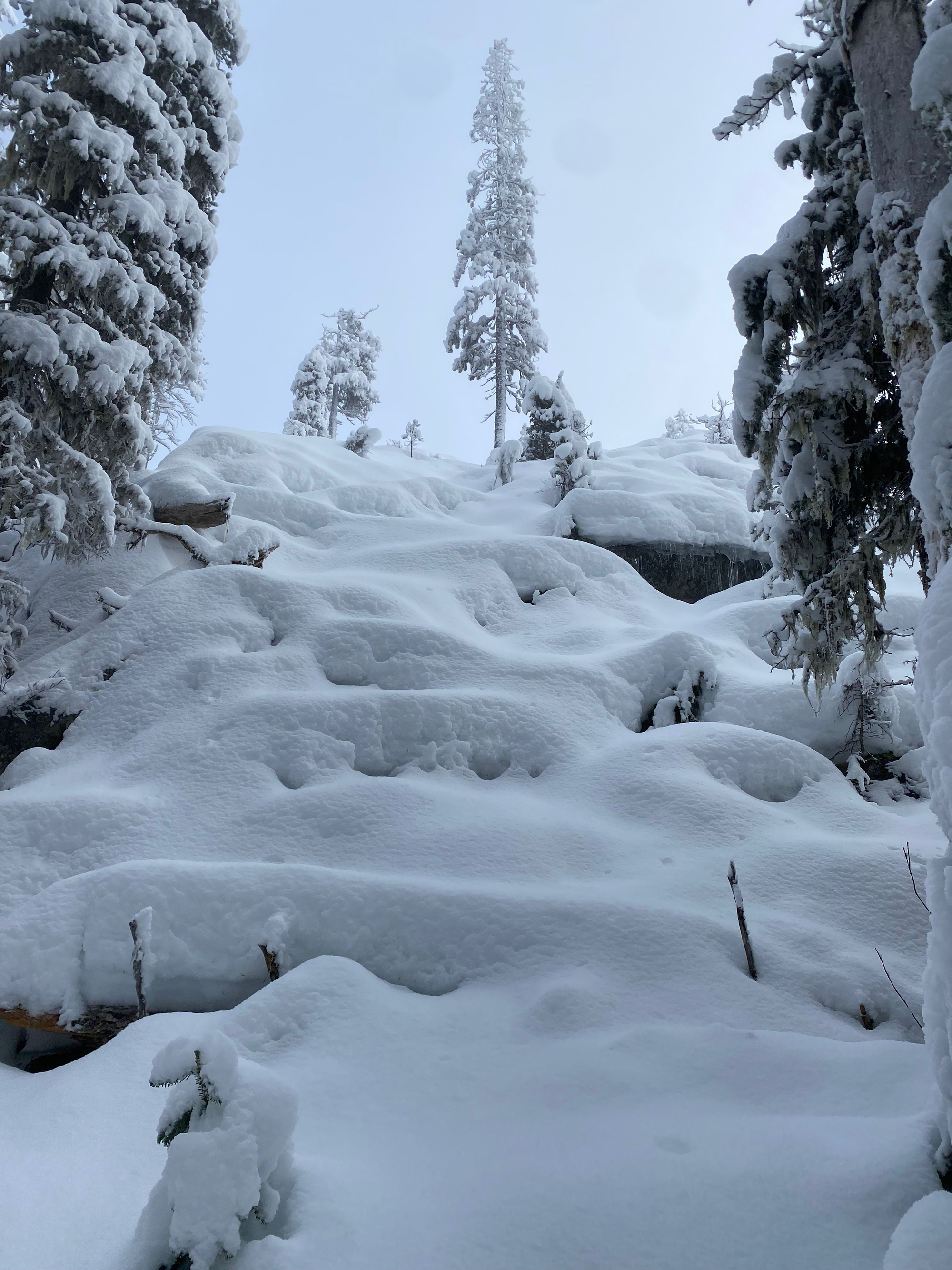
The trail fades out around 1000m, and there is no official route past that. If you’re lucky, someone else will have already broken a trail to the summit. I was not that lucky, and had to trudge through deep snow while finding the best route. This section would have been much easier if I was in a large group to share trail-breaking duties. As a solo hiker, it was a bit of a tedious slog.
In general, the route heads due north, zigzagging up steep slopes in places. I would recommend downloading several GPS tracks from Peakbagger.com or other sites to see how others have navigated this section. There are several cliff bands and large bluffs, but I was able to avoid them. A couple sections involved navigating up boulder fields, which had inconsistent snow cover, leading to some postholing. At one point, a large orange flag marked a creek crossing, which was accomplished with an awkward pole vault. However, the GPS tracks I was following went away from the creek on the other side, so I had to cross it again tens of metres later.
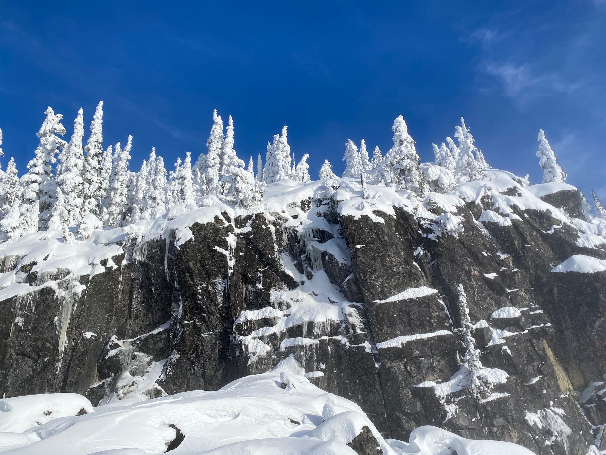
At 1350m, the steepest part of the slog ended below a large bluff. There were good views here.
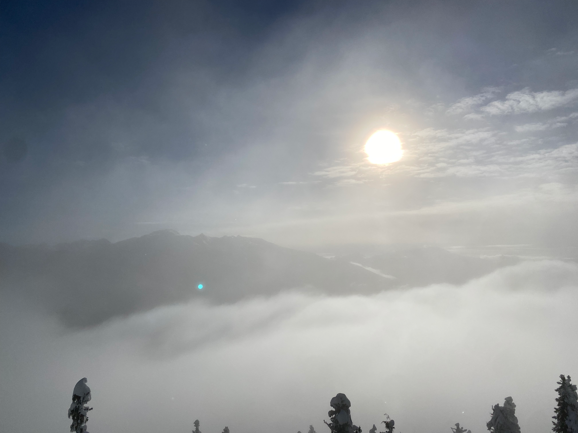
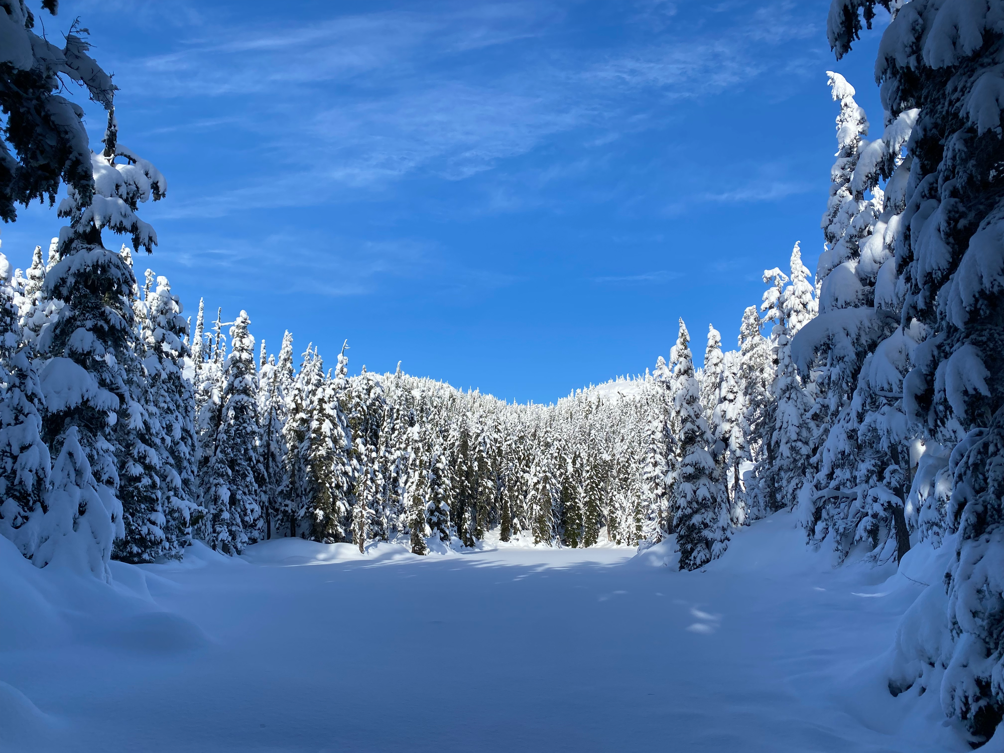
I continued north, walking around a lake. From here, most groups seem to follow one of two routes. You could head northeast along a ridge to a small bump due west of Cougar Mountain, then head east. The other route, which I took, involved heading due north along another valley then attacking the summit from the south. The last vertical 100m had several annoying steep sections and a couple bumps that seemed like the summit, but were not. At least I was fully above the clouds, and started to get good views of the Wedge group.
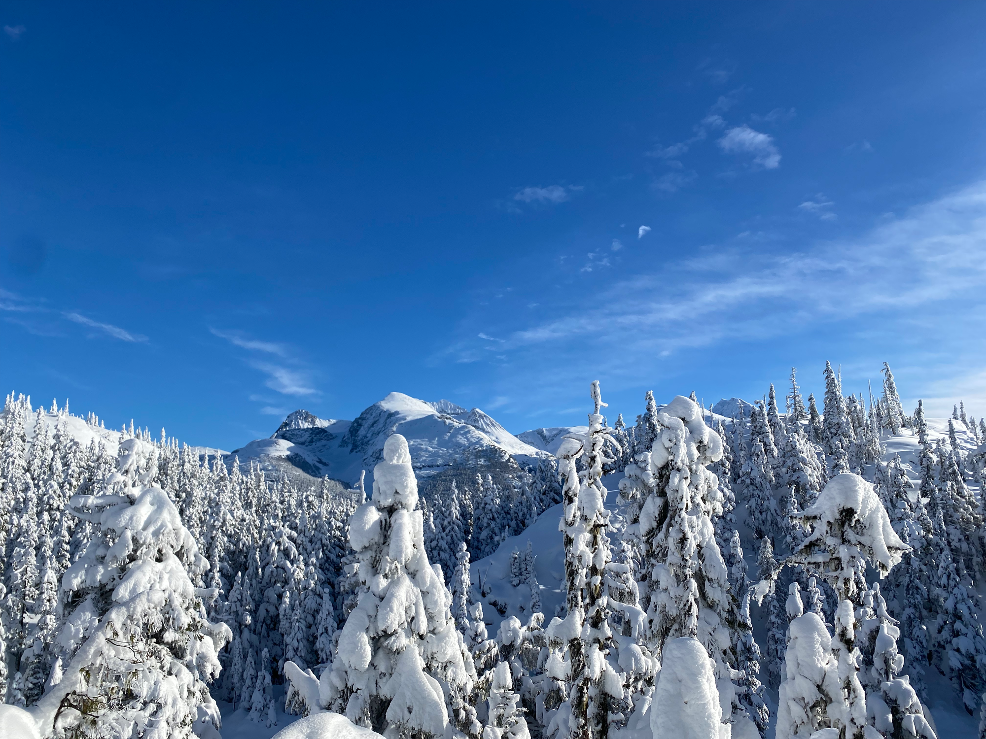
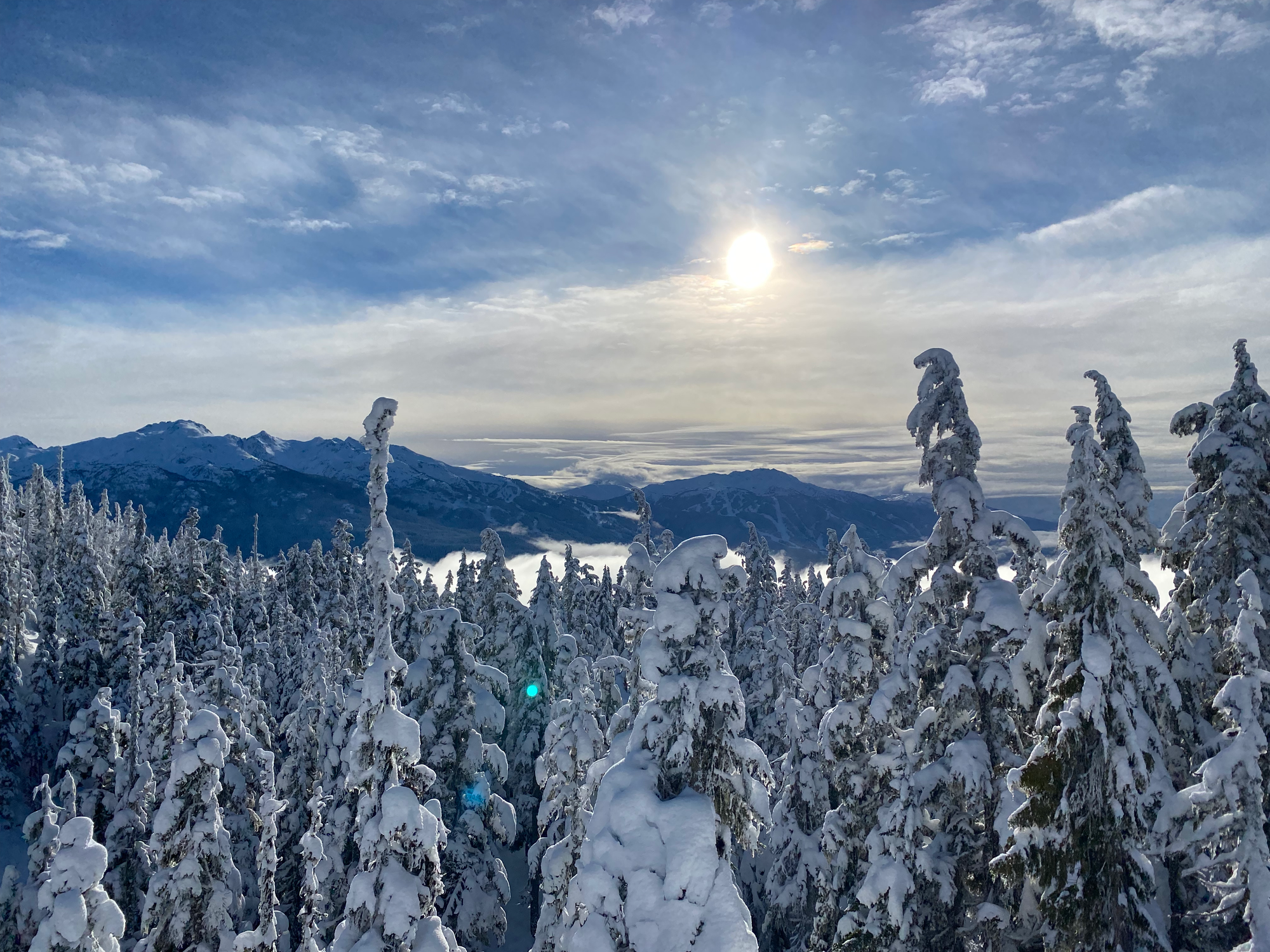
Eventually I was on the southern summit, with panoramic views of the peaks around me. I took a long break here and ate lunch.
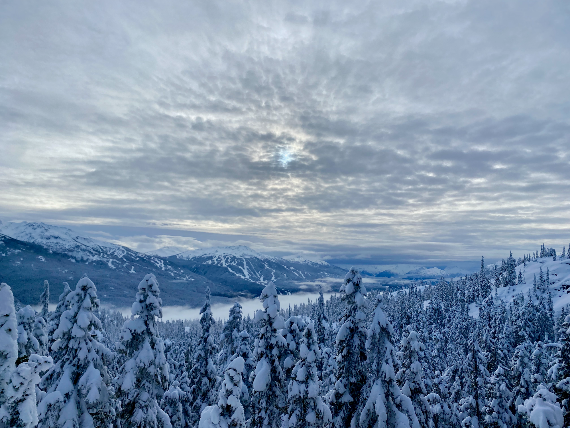
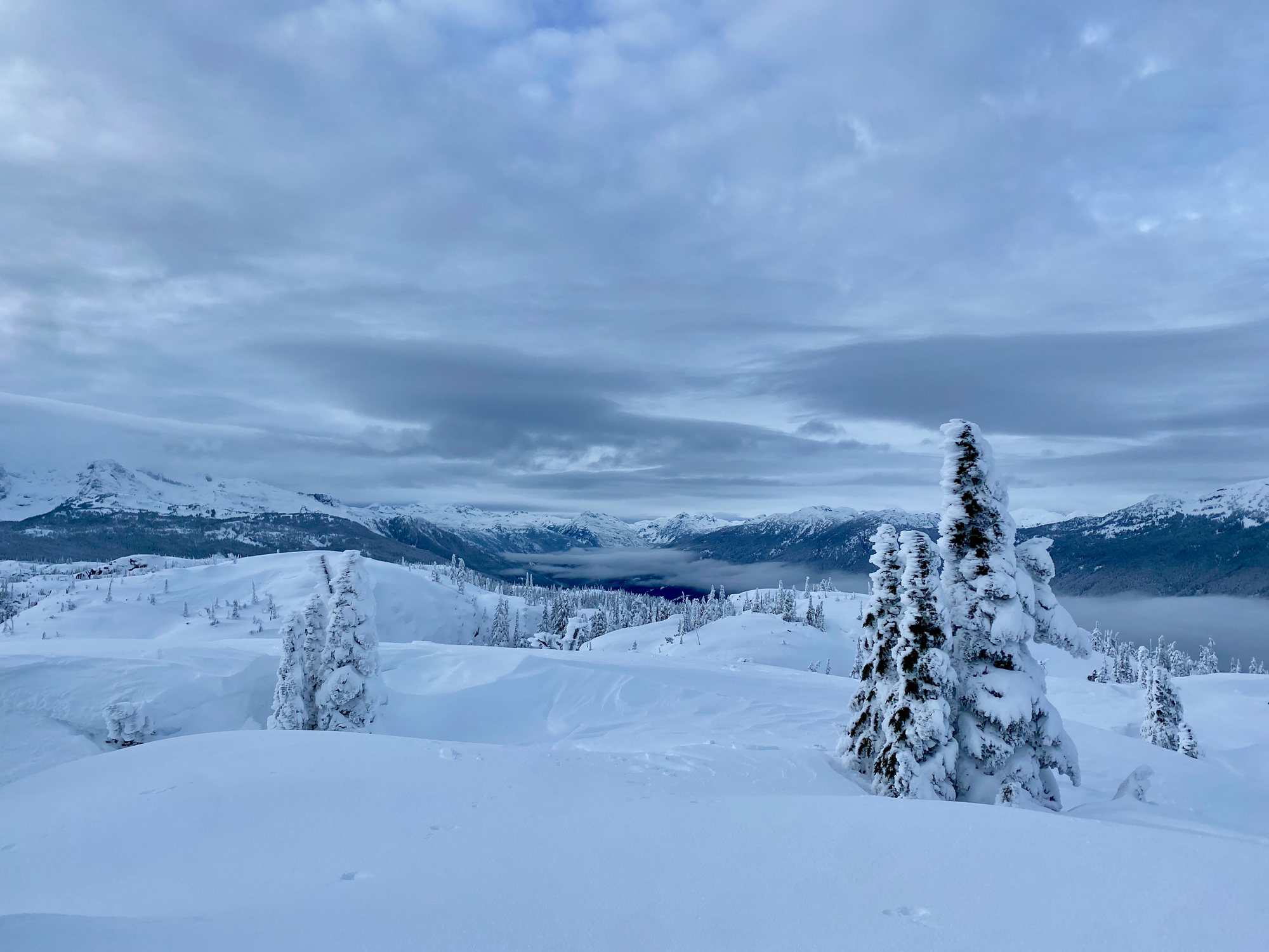
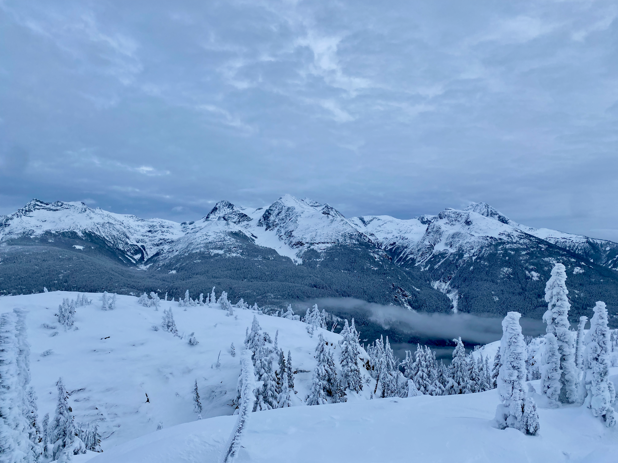
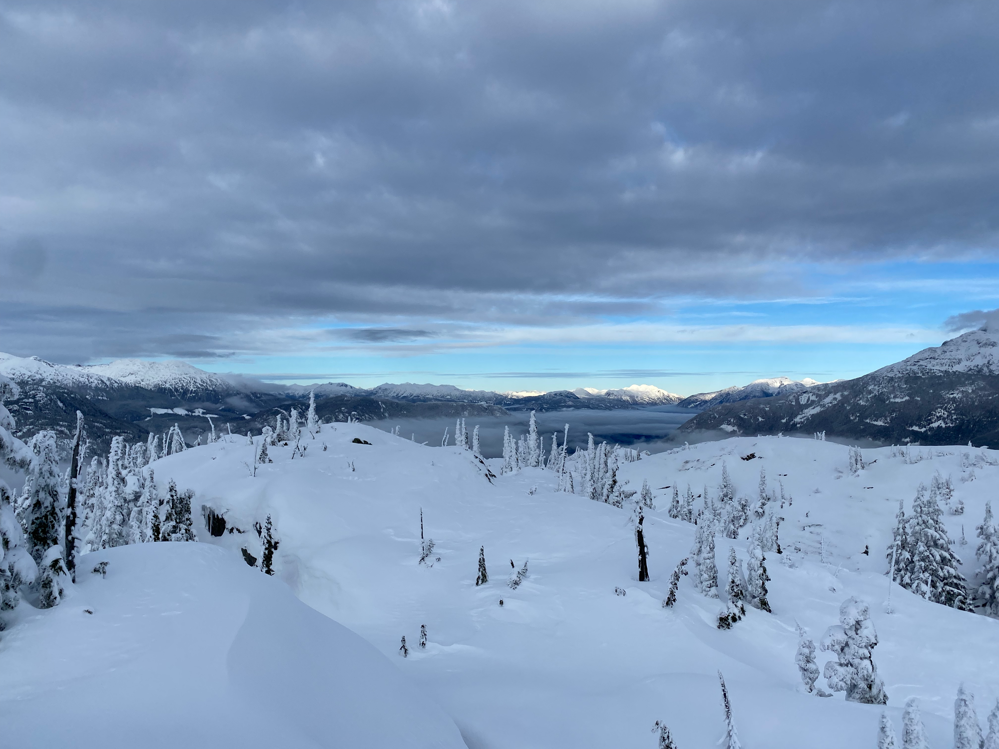
Apparently the bump 90m to the north is slightly higher, but I agree with other trip reports that it really doesn’t look like this is the case. Still, just to be sure, I visited both peaks. The northern bump has good views, but the southern bump blocks most of the views in that direction.
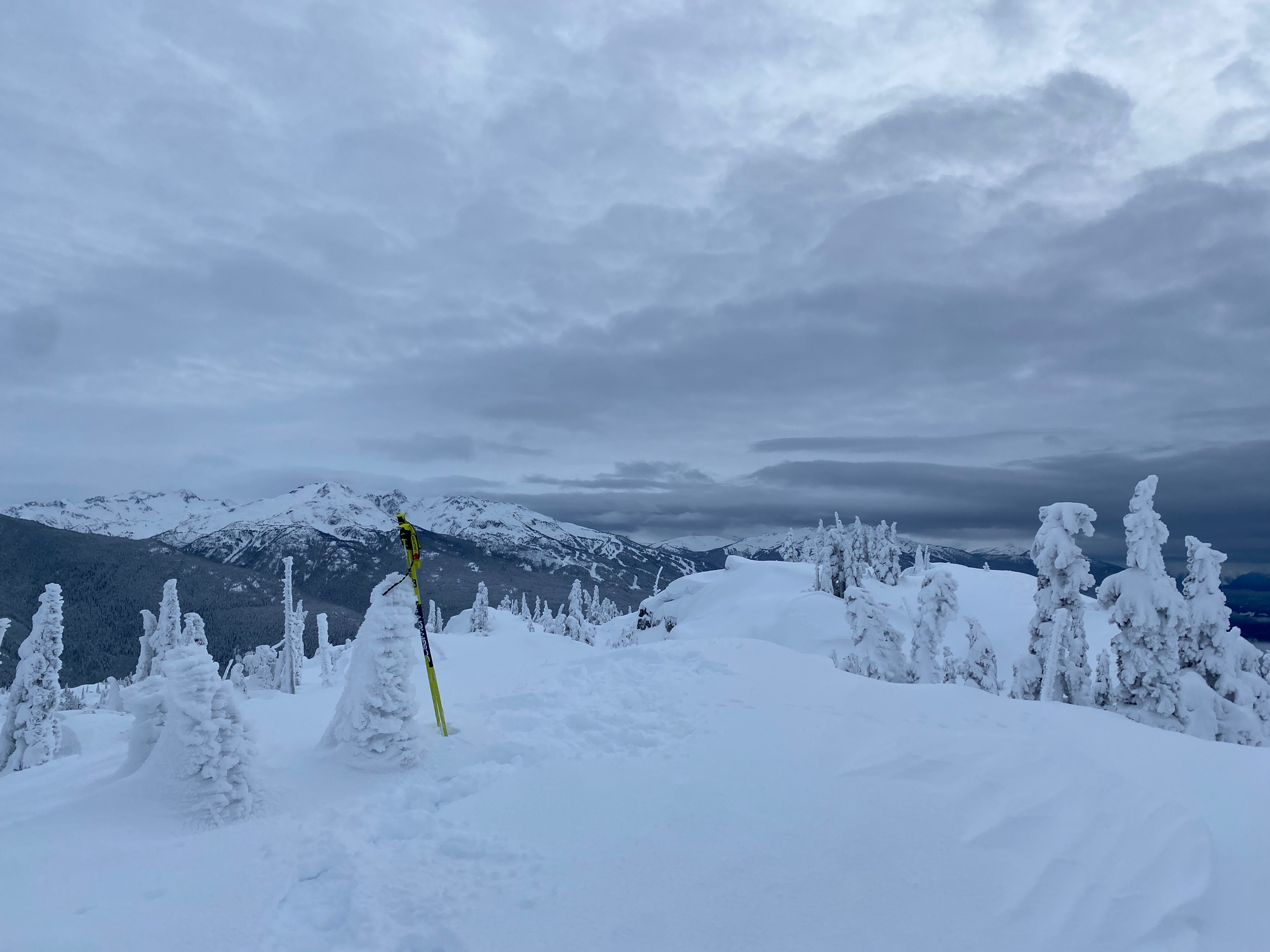
Time was running out so I couldn’t linger on the northern bump. The descent was a bit tedious at first, but someone had helpfully broken more of the trail to the viewpoint, making the surface more solid. It started snowing around sunset. To avoid walking along the road, I traversed above the heliport along a bike trail, then cut down to the heliport road. I drove south through pounding snow and rain, at times having to guess where the lines in the road were. After a couple hours of terrifying driving I eventually made my way home.
It was a bit of a slog, but I’d still recommend Cougar Mountain if the conditions are right.


Member discussion