Cayoosh Mountain
Date: January 1, 2026
Distance: 14.5km
Elevation gain: 1293m
Cayoosh Mountain is a classic mountaineering objective northeast of Pemberton, offering glacier travel, steep slopes, and views across the valley to the mighty Joffre group. It’s relatively close to the Duffey Lake Road, and there is a well-travelled route most of the way, making access easier than many other nearby mountains. It is often done on snowshoes or skis in good avalanche conditions in the winter, although timing is tricky as cornices on the final climb to the ridge must be avoided. I visited Cayoosh Mountain on New Year’s Day 2026 with a VOC group, an excellent way to start the new year! There are a variety of routes up Cayoosh, but this trip report describes the standard route from the east, via the Armchair Glacier.
To quote bivouac.com, “Cayoosh is a variation of Cayuse, the native name for Pony. One story is that a native was riding his horse from Mount Currie to Lillooet and the horse dropped dead at Cayoosh Creek. Once the creek had that name, the name Cayoosh was applied to the peak at the head of the creek.”
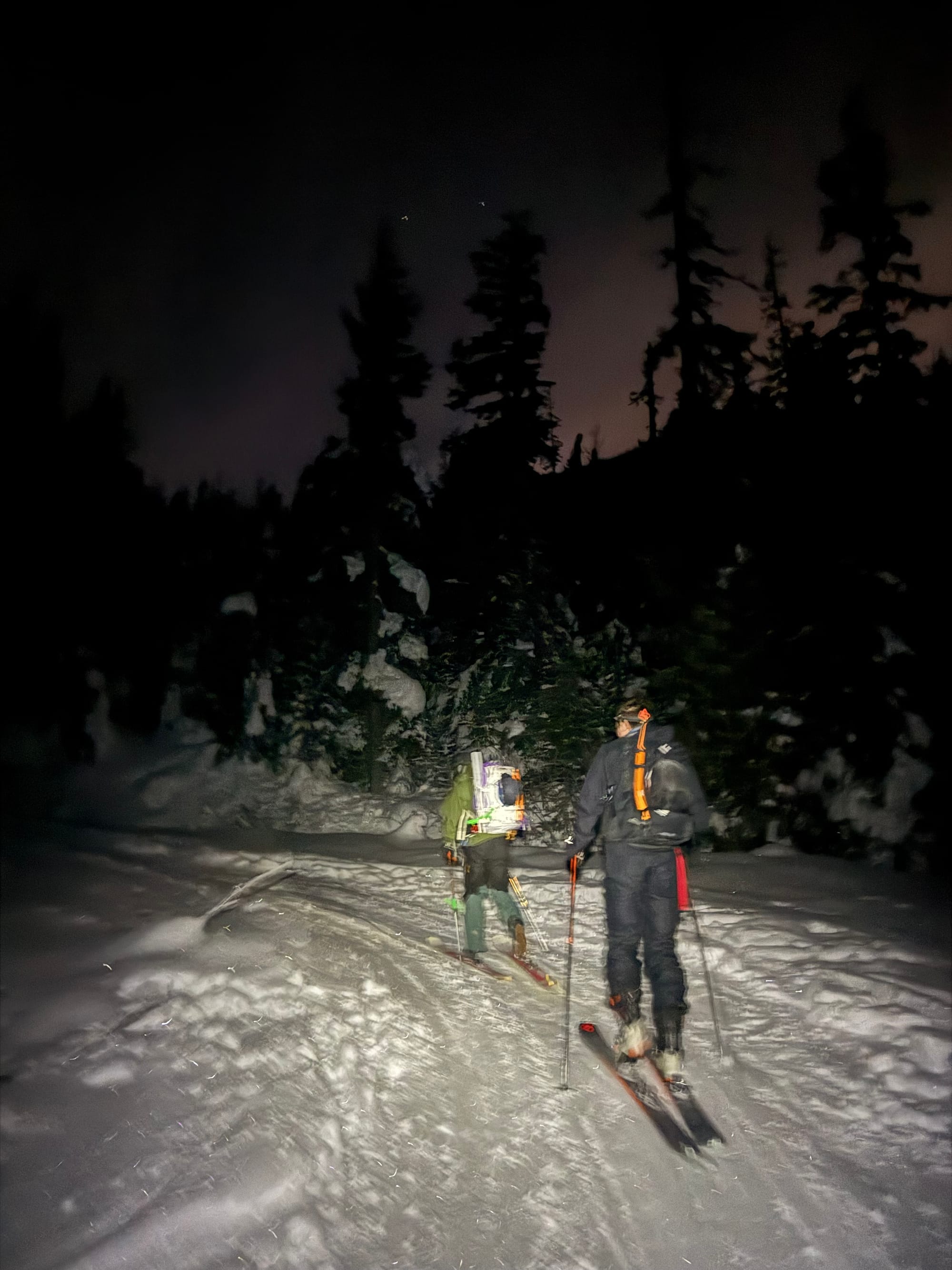
Daniel, Theo, and I met up in the evening of New Year’s Eve and drove three hours north to the trailhead, where we car camped. I’d returned from Montreal a few hours before this trip: luckily, the jet lag worked in my favour, making the 4am wakeup feel much more reasonable. It was now 2026.
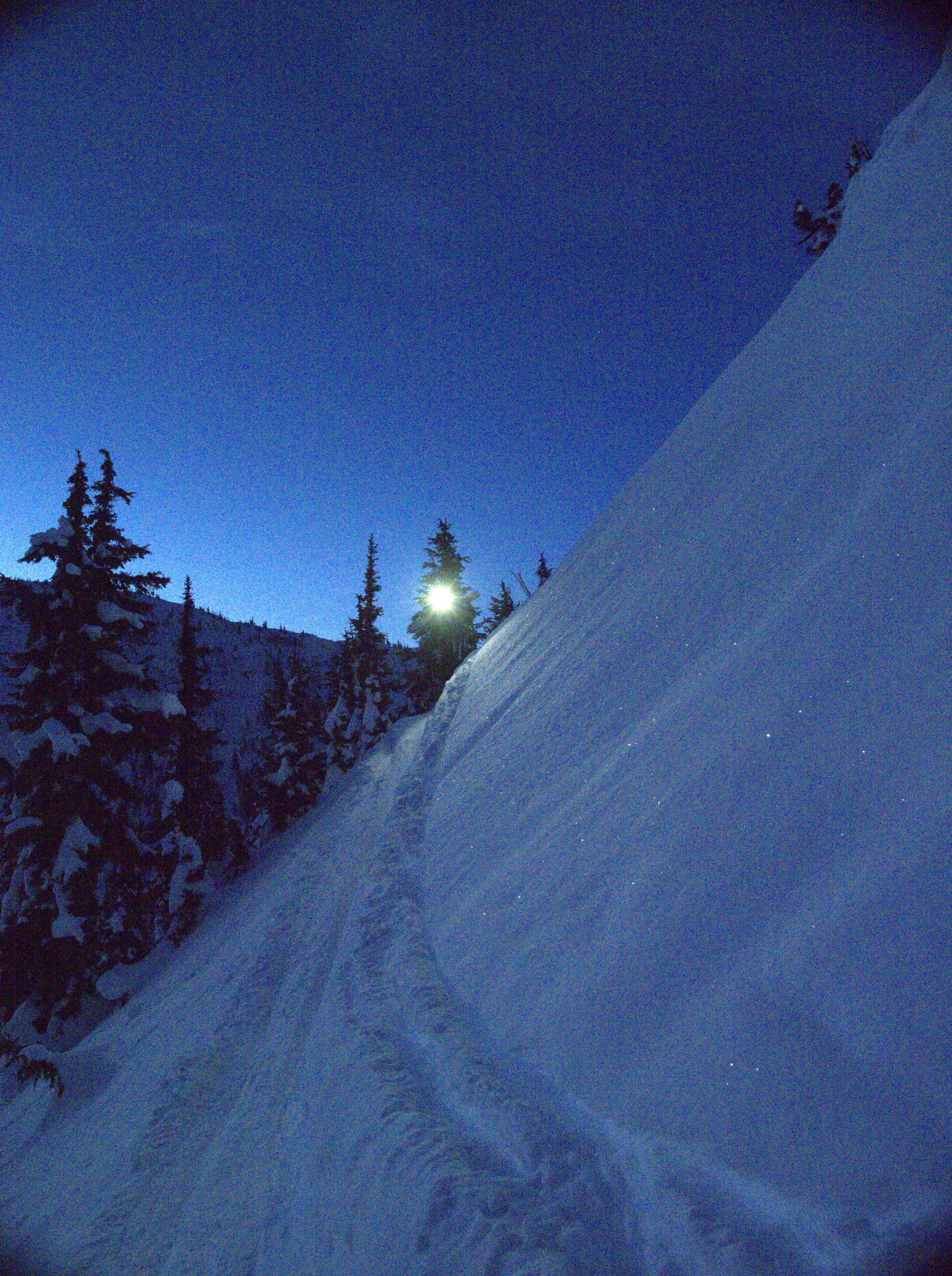
The first few kilometres were along a logging road. This went by quickly in the dark. The road has a decent amount of alder, but thankfully almost all of it was covered.
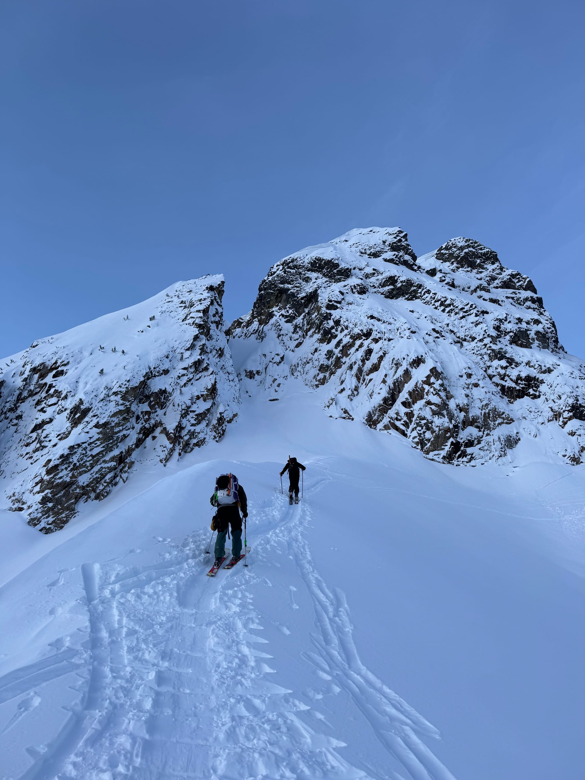
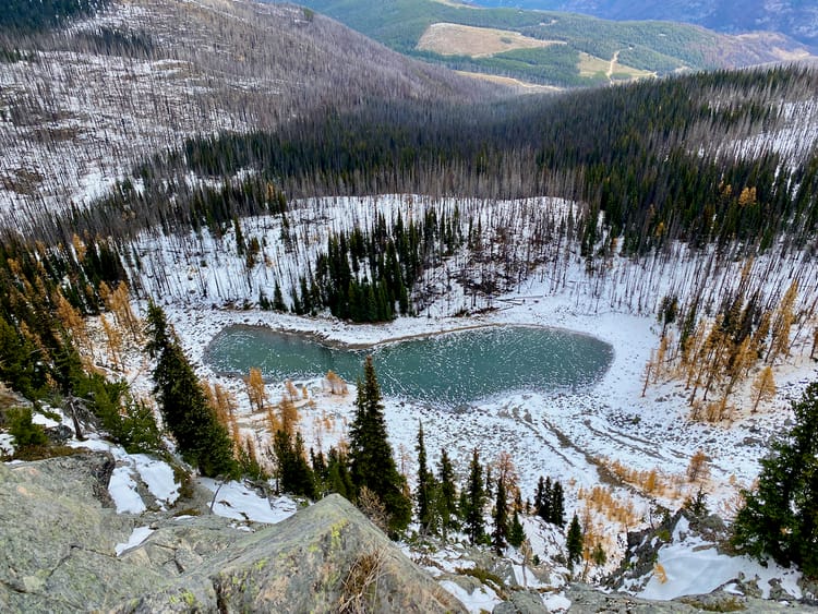
The logging road ends around 1420m. The route climbs a series of snow-covered boulder fields. With the popularity of this mountain, there were plenty of tracks to follow. This eventually led us to a frozen lake around 1630 metres.
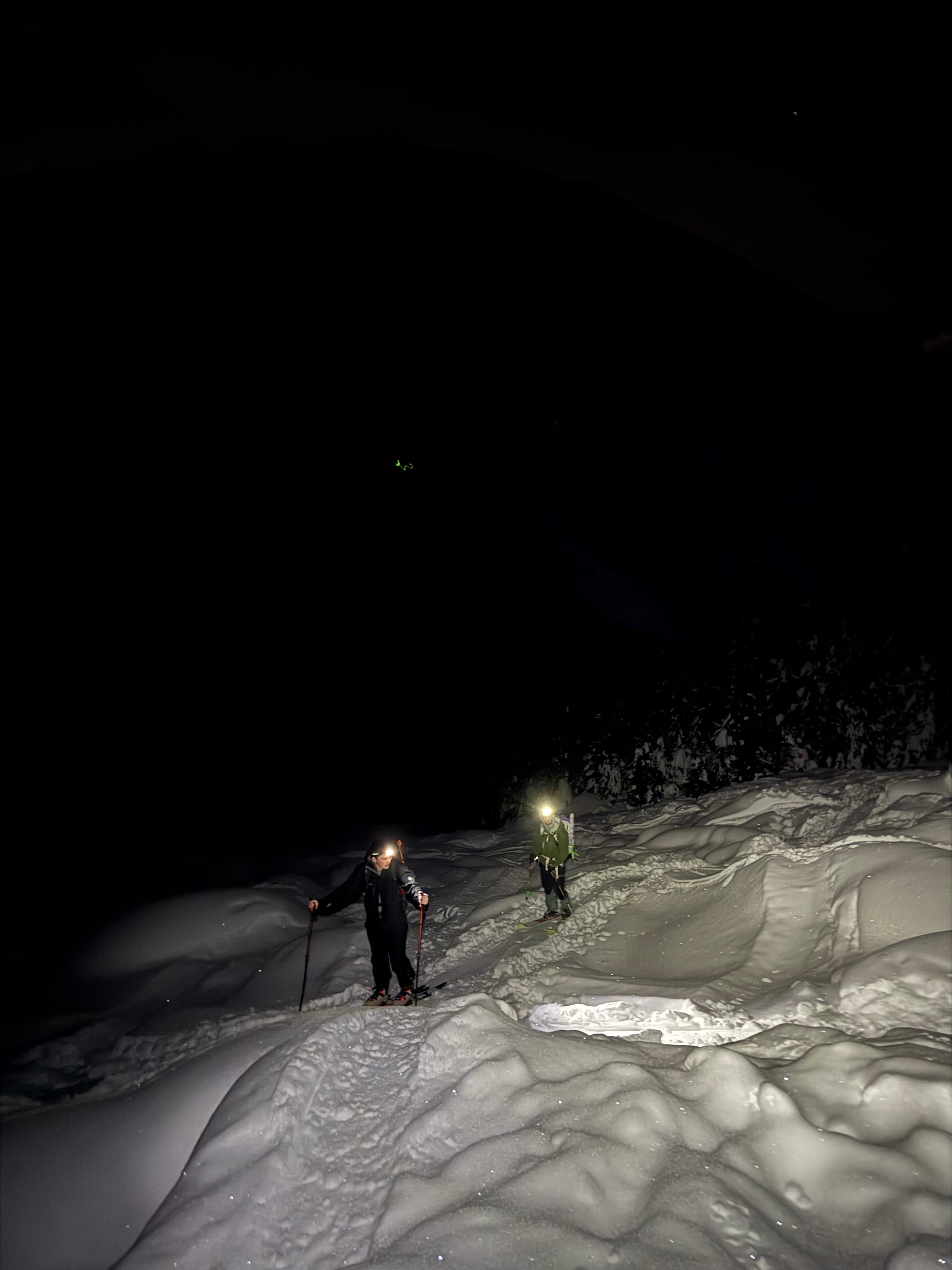
Here, routefinding becomes tricky. You want to head northwest from the lake through a steep forest, then traverse the ridge to the north of the lake. We followed someone else’s tracks, which led us a bit too far uphill, eventually reaching a traverse that was much steeper than it needed to be. At one point we decided to take our skis off and bootpack. After a few steps, one member of our party might have fallen into a waist-deep tree well and almost dropped his skis.
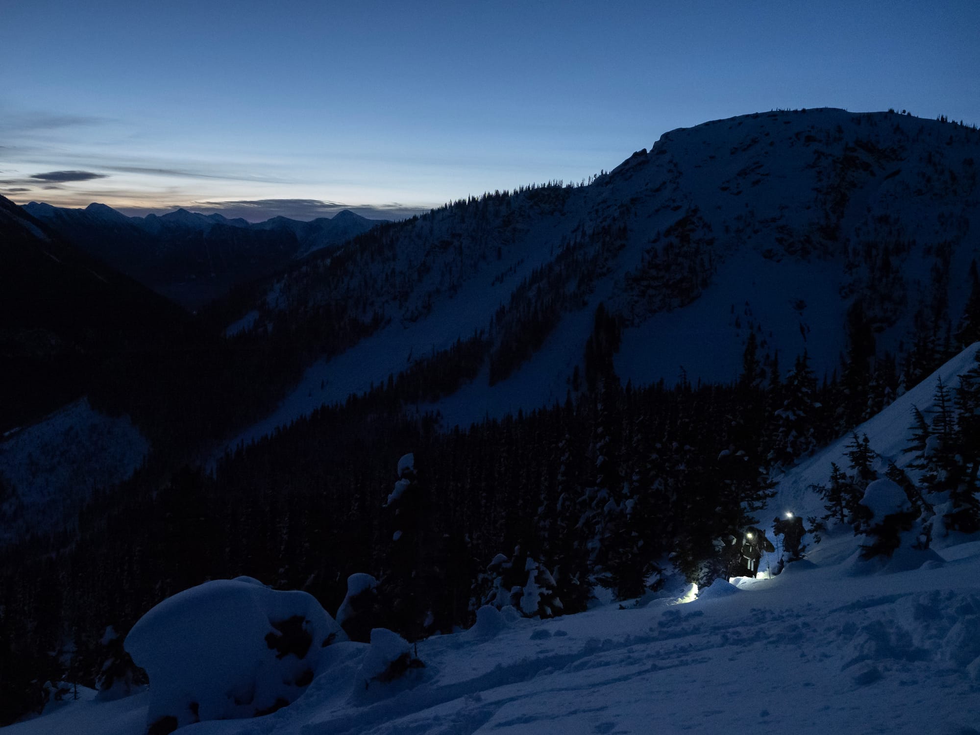
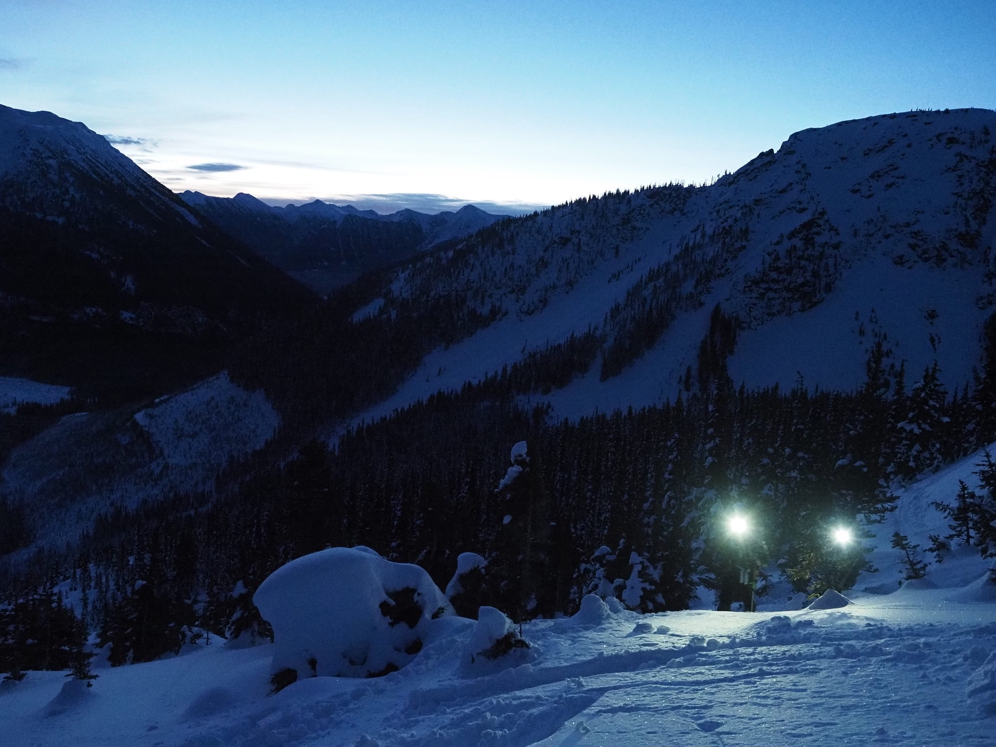
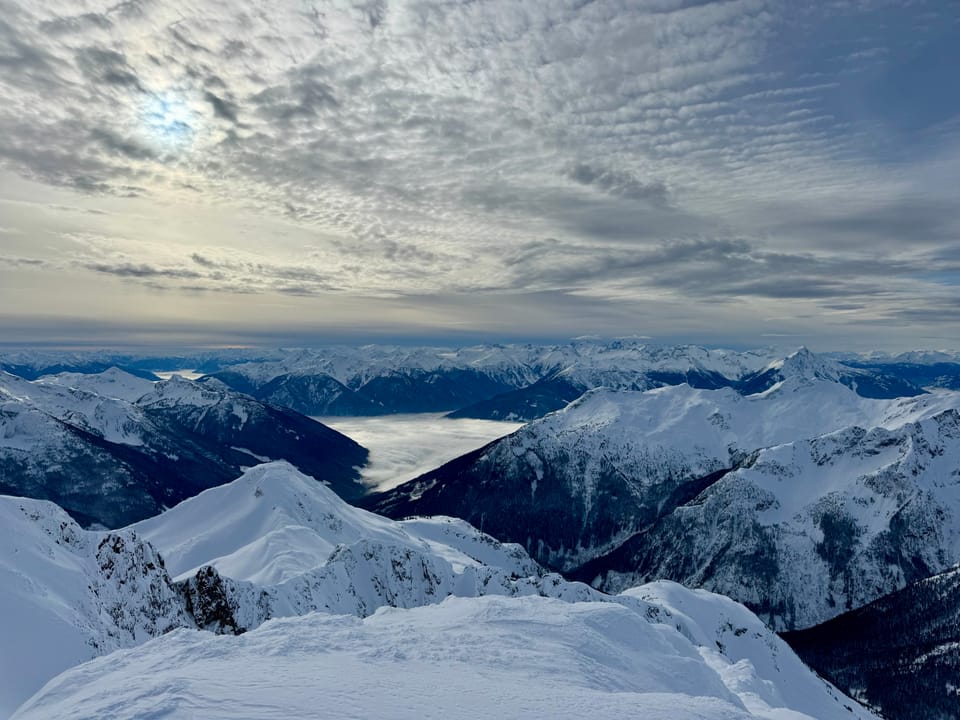
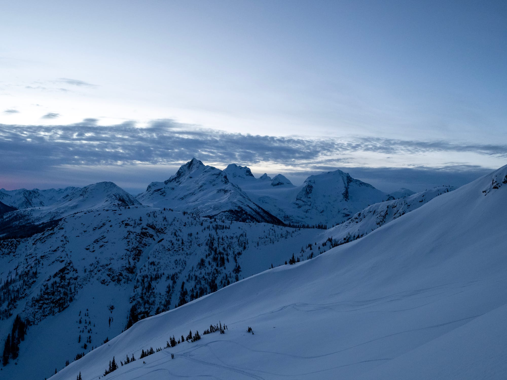
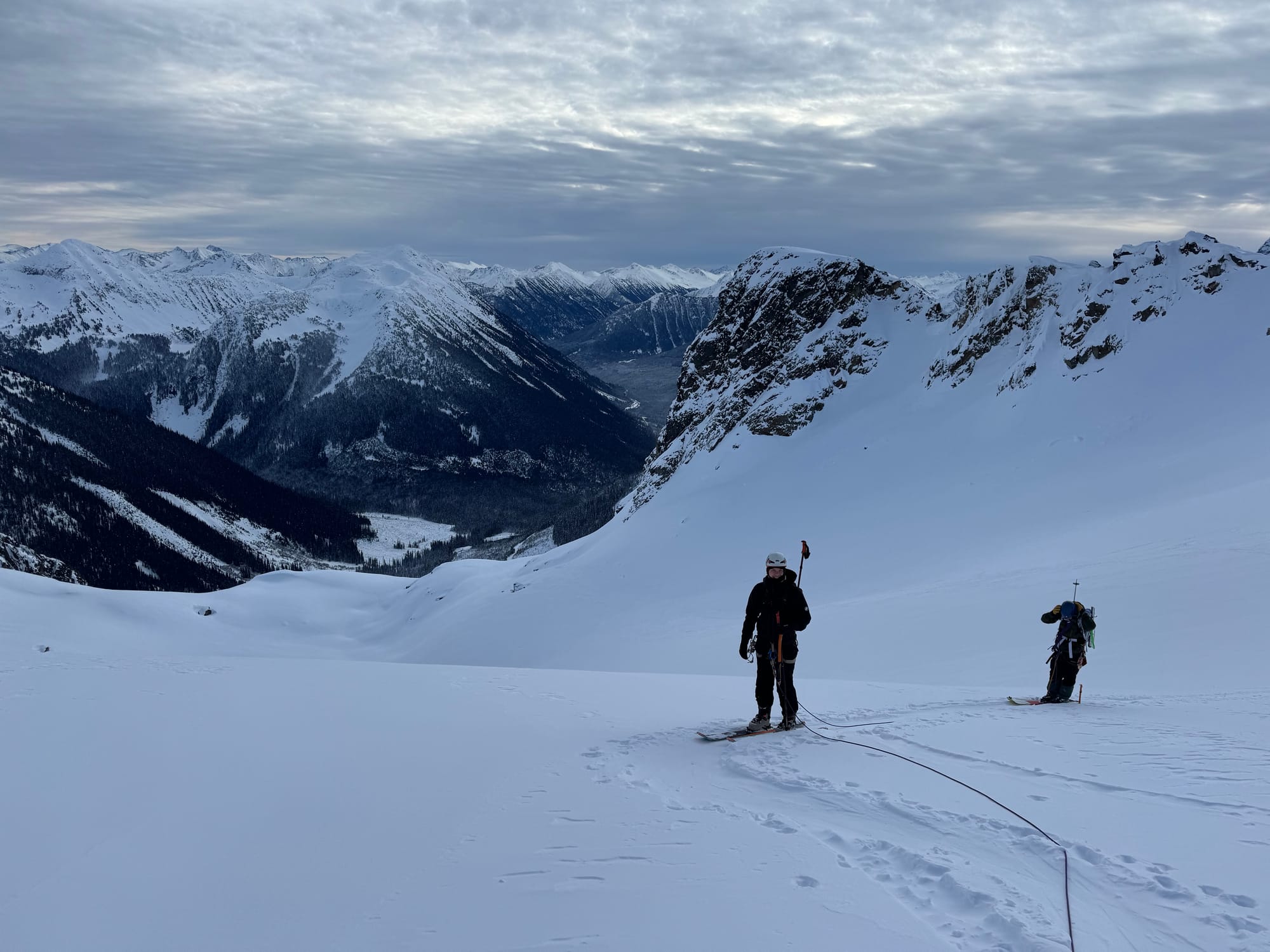
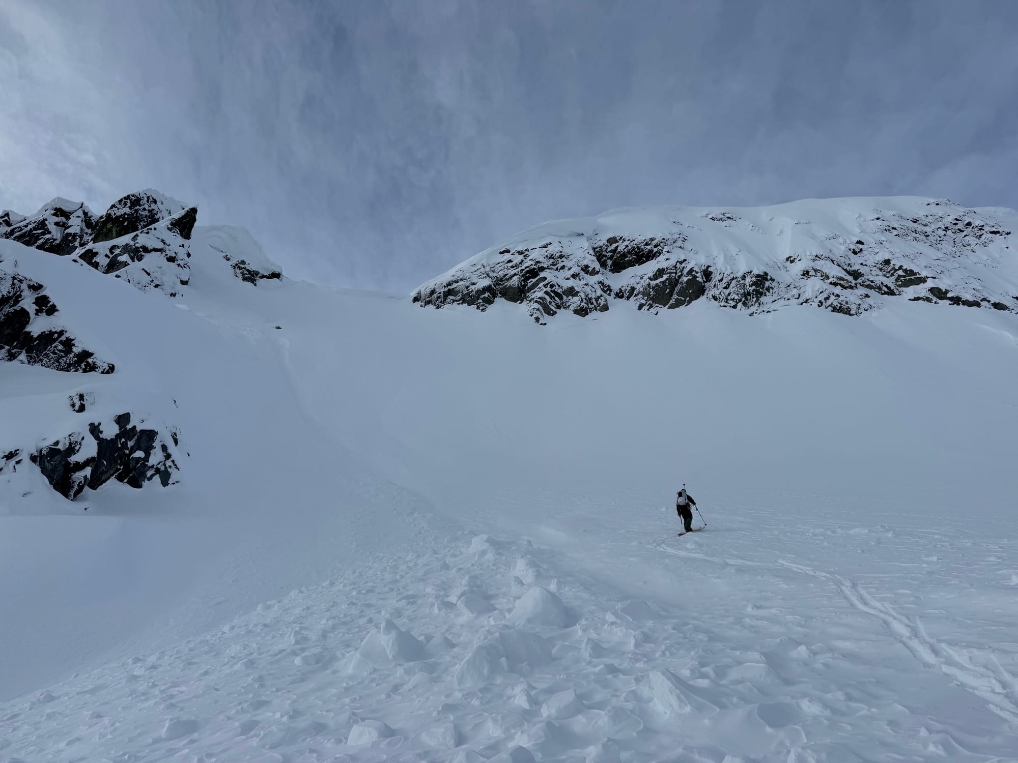
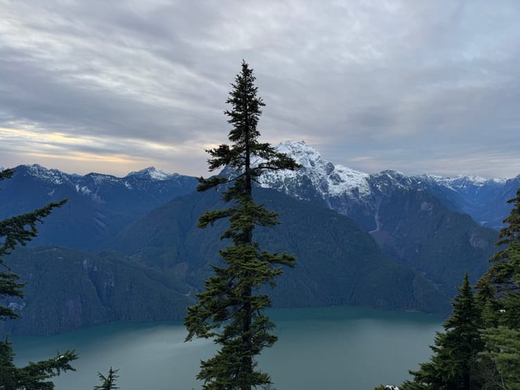
We eventually made it to the bowl below the Armchair Glacier, then headed uphill towards the glacier’s moraine. Once on the glacier, we took a long break and roped up. The sun had risen by this point and the Joffre Group could be seen across the valley.
We continued along the glacier. Most of the crevasses were covered, except for some especially large ones which we avoided.
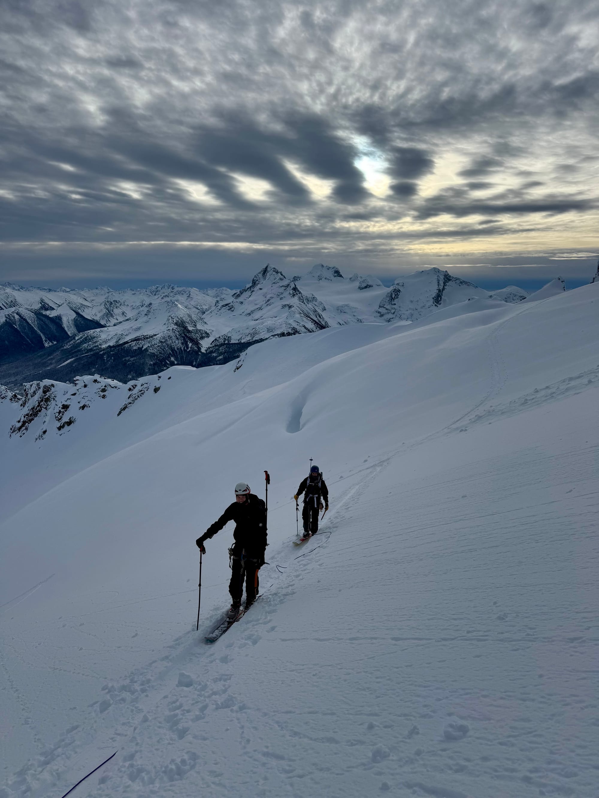
Our next objective was the pass to the north of the glacier. A steep track led up the wall of the bowl containing the glacier.
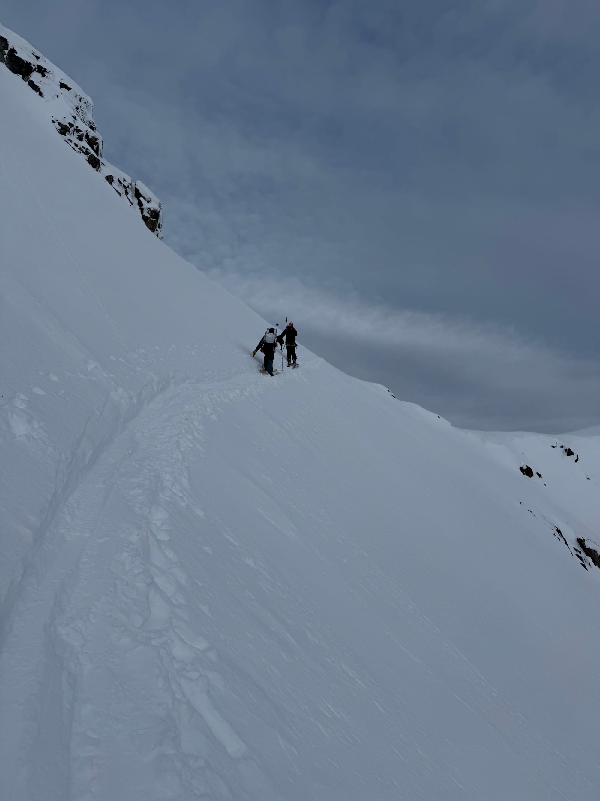
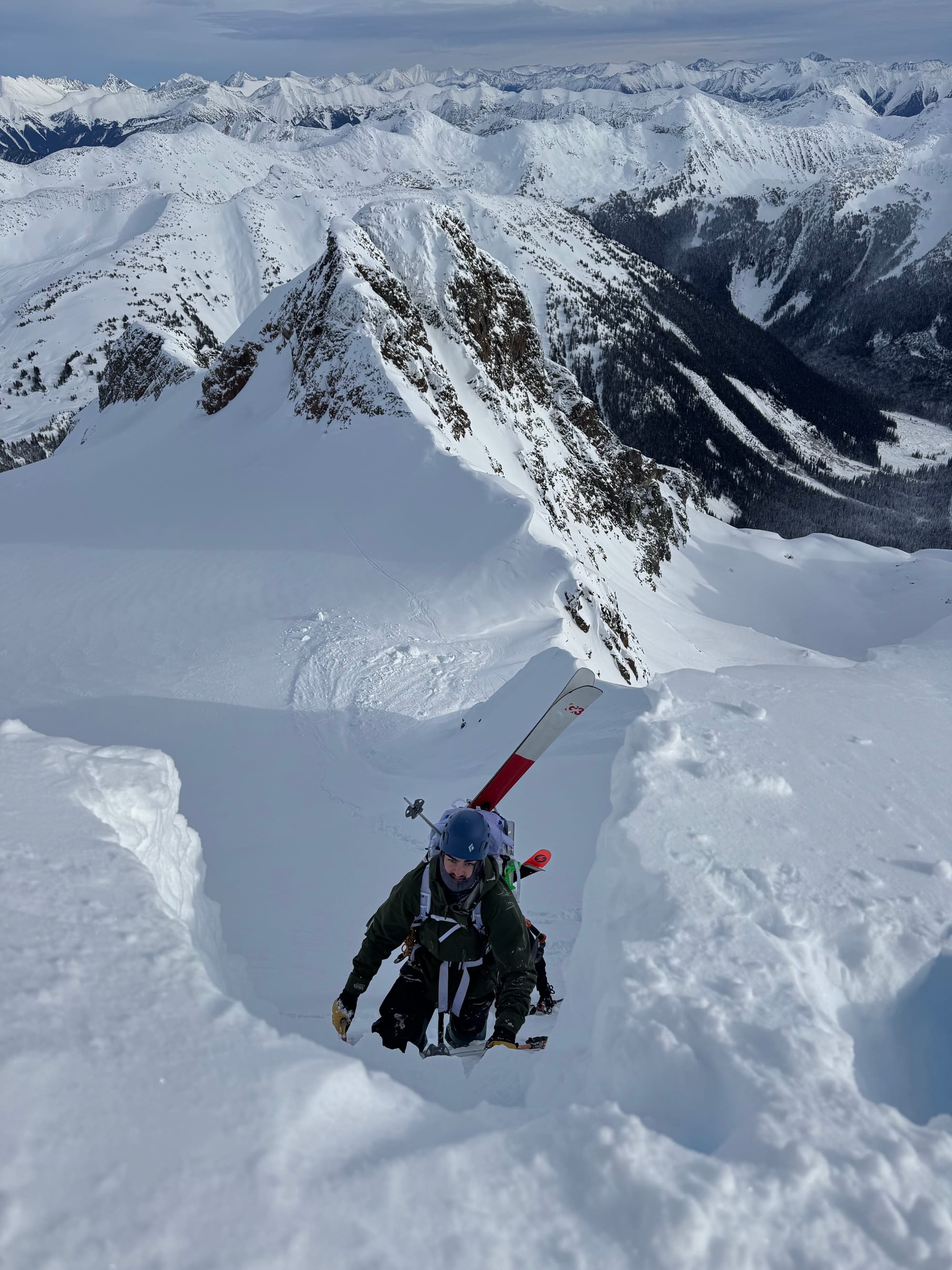
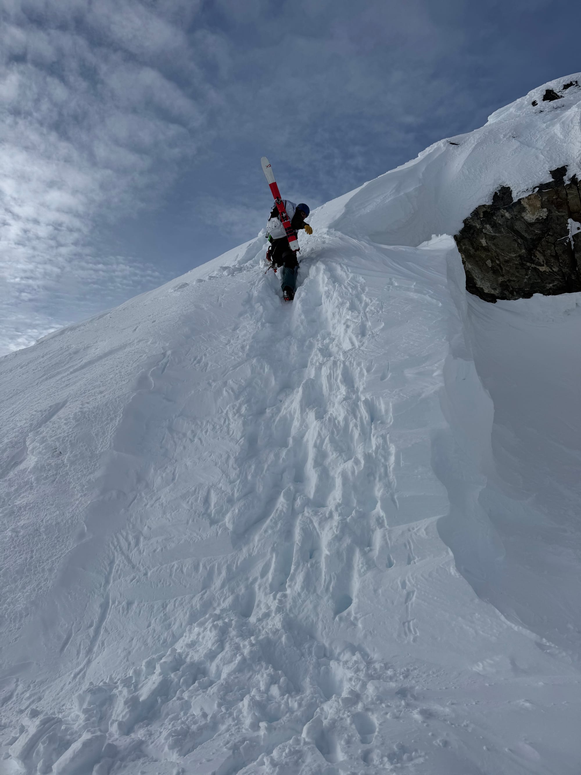
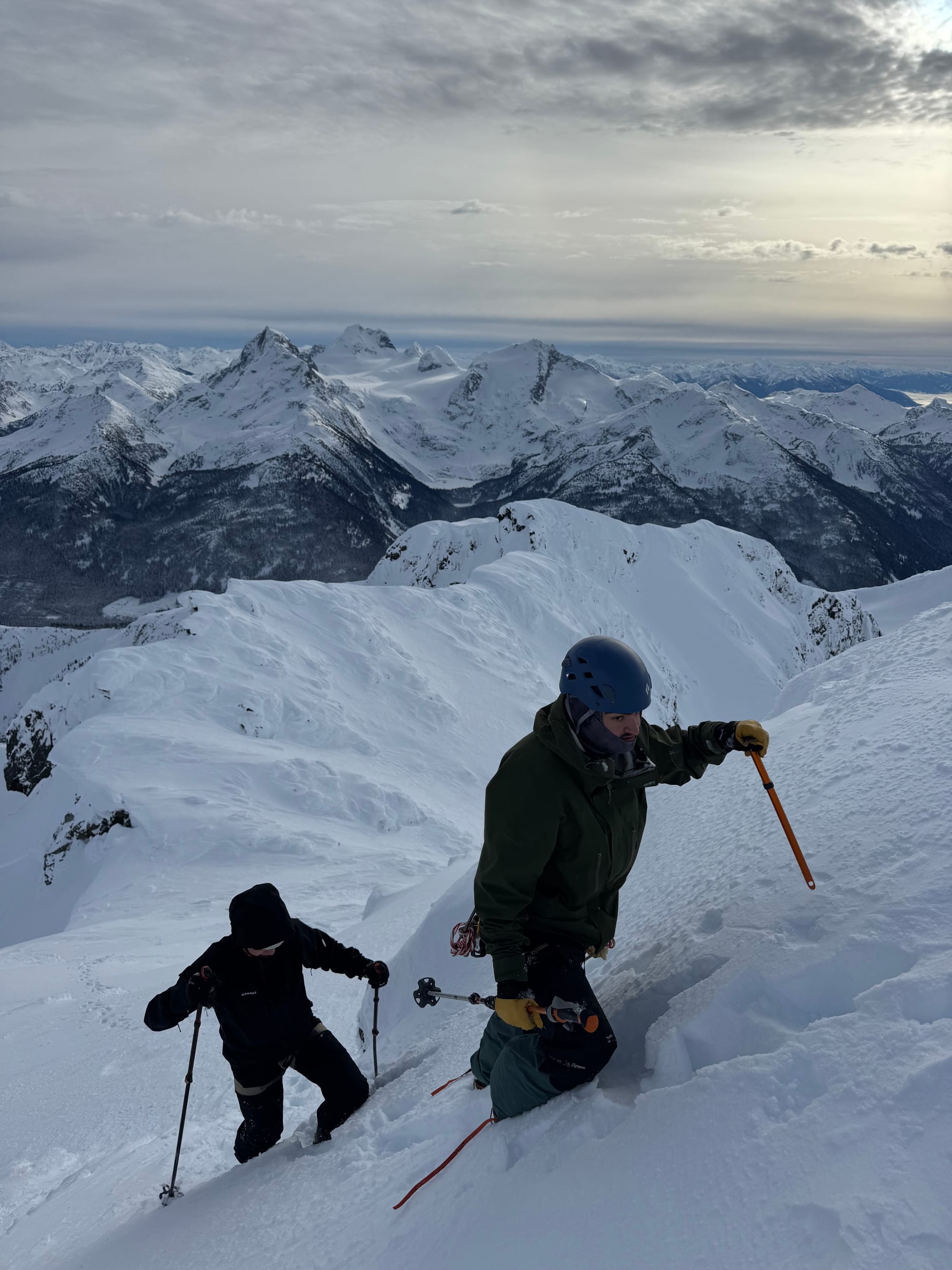
From there, the next challenge was getting to the ridge containing the summit. A long, steep slope leads southwest from the pass, allowing access. However, there were large cornices on each side of the slope, and a smaller cornice at the top blocking the ridge.
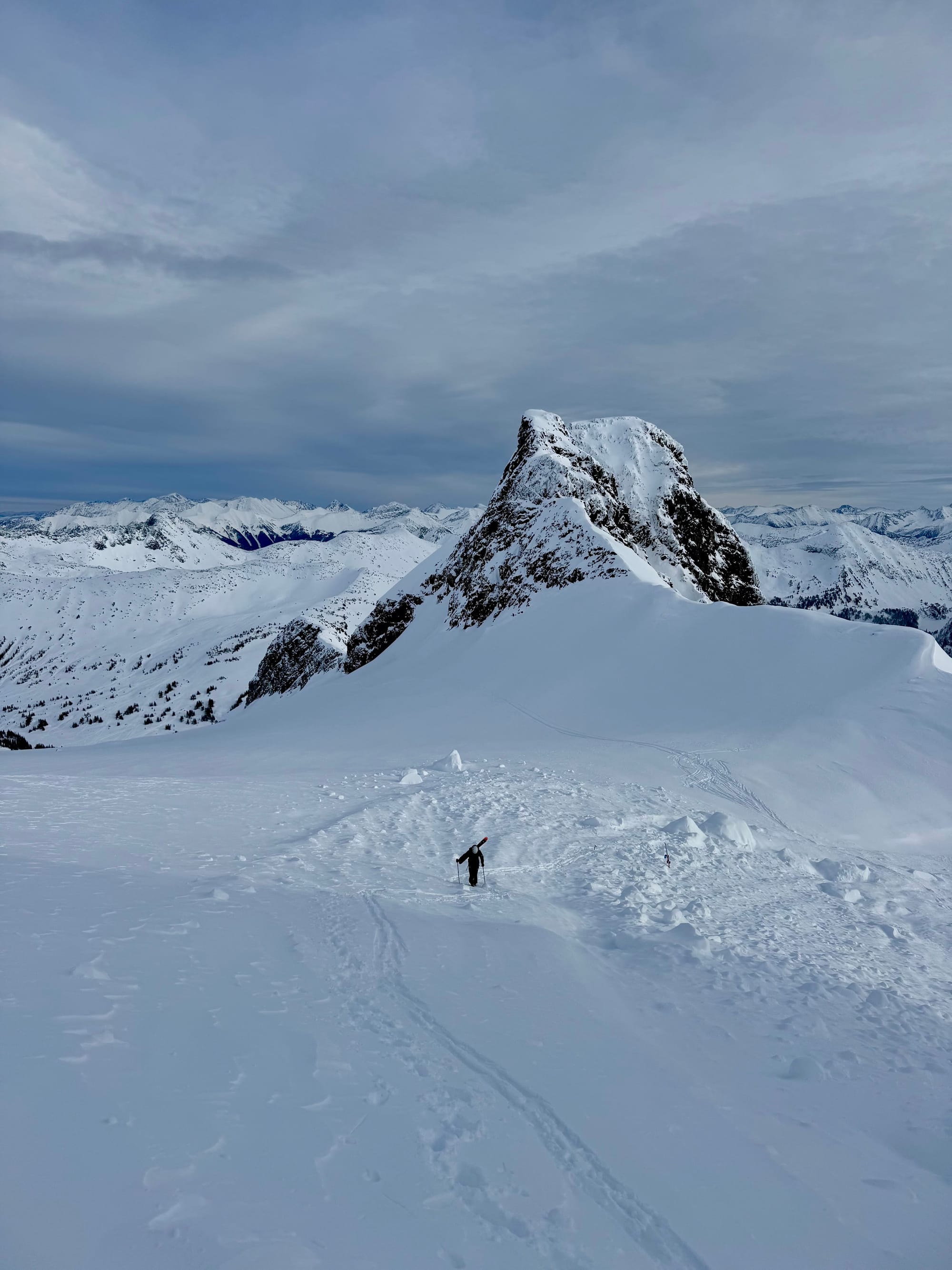
With the low avalanche danger, we decided to continue. We went straight up the middle of the slope, avoiding the larger cornices on the edges. There was no obvious way around the central cornice, but it was small and stable enough that I was able to dig a tunnel through it with my ice axe. We were on the ridge.
The last obstacle was a short steep section of the slope, but this was quickly dispatched. The summit was a walk-up past there. We reached it around noon. Highlights were the majestic Joffre group and the river of clouds in the Pemberton valley.

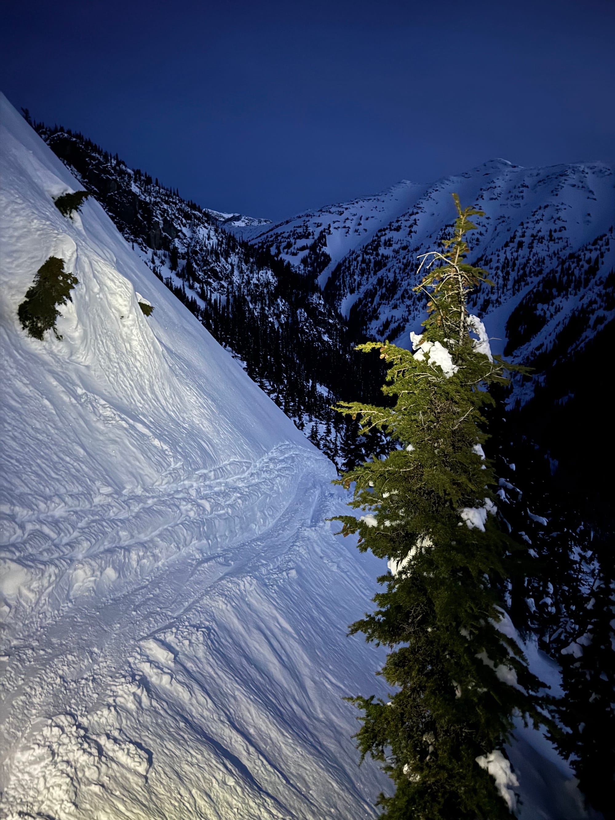
We’d considered descending the Million Dollar Couloir, a classic ski line, but there wasn’t enough snow for that to be feasible. Instead, we retraced our steps down the Armchair Glacier. The snow was deep, but very heavy, and my legs and ankles were definitely feeling it!
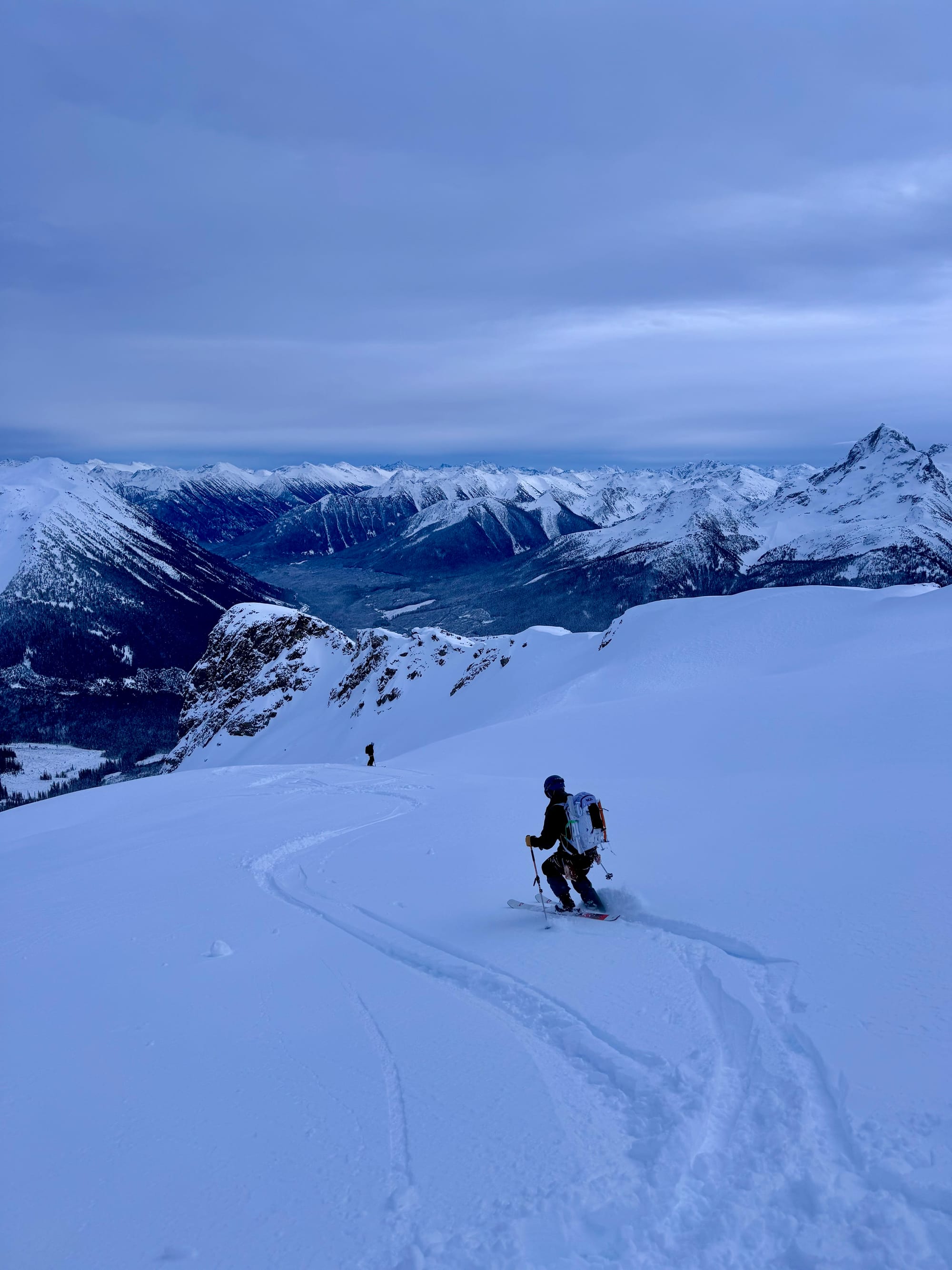
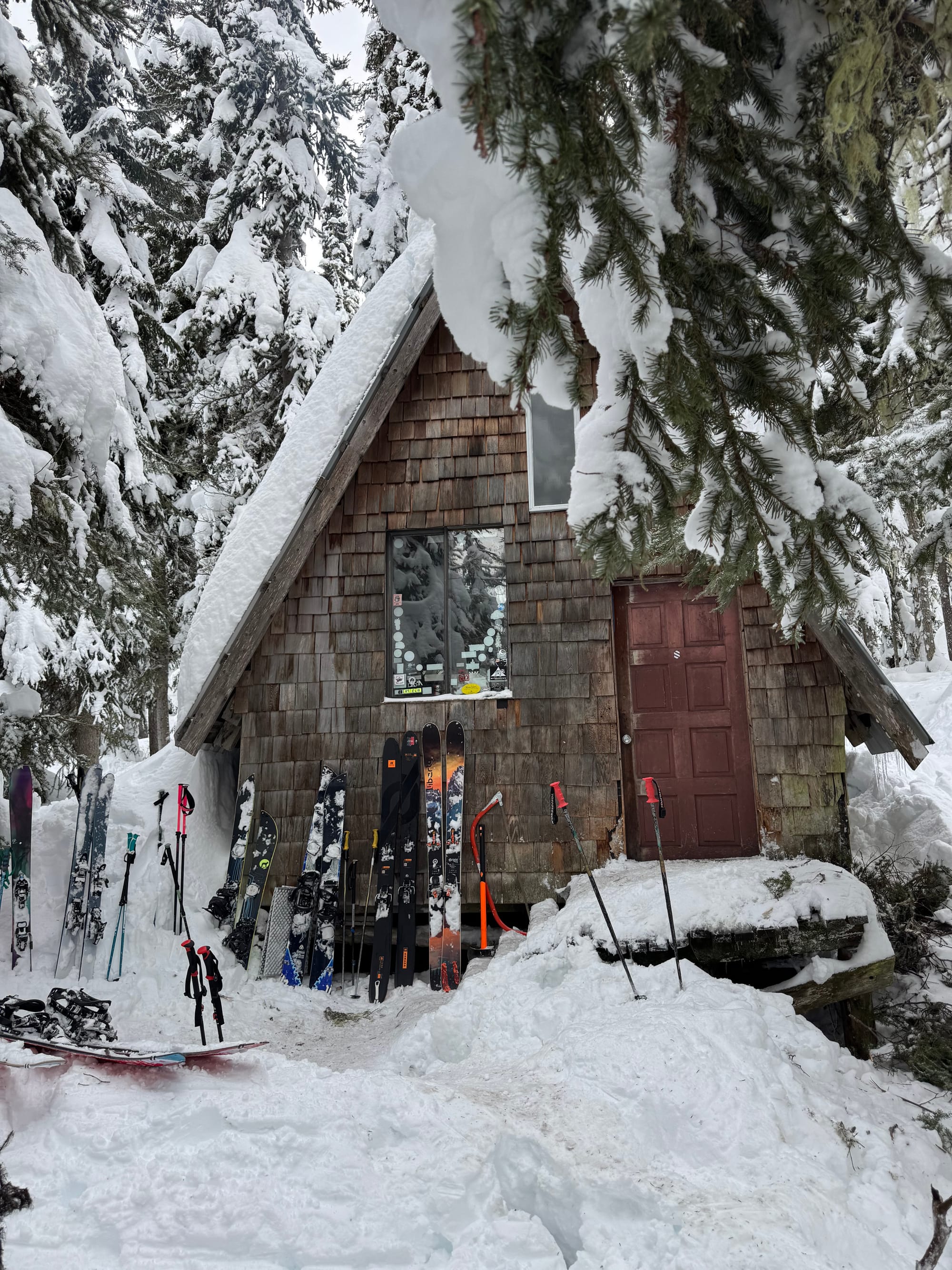
Once off the glacier, we avoided the sketchy traverse to the lake, instead just staying in the valley until we reached the Cayoosh Cabin near the end of the logging road. This route offered some great turns at first, but the routefinding quickly became annoying, with a series of cliffs we had to navigate around. Eventually we made it to the valley floor. The cabin is well-hidden and we didn’t see it until we were right in front of it.
The logging road was a couple hundred metres from there. We were debating whether to walk or ski to the road. We decided to bootpack, but after a few metres and a fall into a small snow-covered creek, we realized the futility of this approach and just put the skins back on.
We skied back to the parking lot, disrupting a large group of locals who were sledding on the last part of the FSR.
This was an awesome adventure with great company: a perfect way to start the new year!


Member discussion