Blinch Peak Summit + Flinch Peak Attempt
Date: January 26, 2025
Distance: 17.65km (more if going all the way to the Flinch summit), including about 6km on bikes
Elevation gain: 1181m
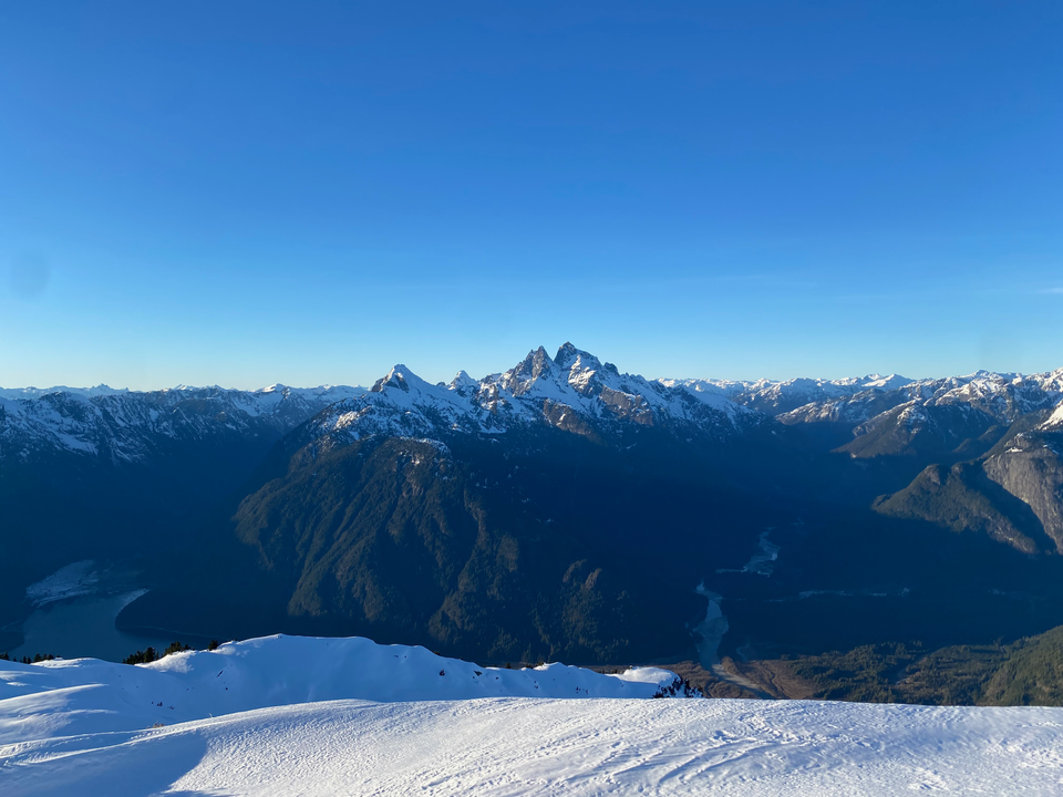
Blinch Peak and Flinch Peak are two obscure mountains to the east of Stave Lake, deep in the wilderness. Blinch is directly across the lake from the towering summits of Mt. Judge Howay and Mount Robie Reid, and offers superb views of said peaks. There wasn’t much information online, but in recent years two parties had explored the area, reporting great views but terrible bushwhacking. (After the ascent, I found another trip report from 1977, which used logging roads in the Blacklock Creek valley which almost certainly no longer exist: https://www.desertmountaineer.com/2021/12/17/statlu-part-3/)
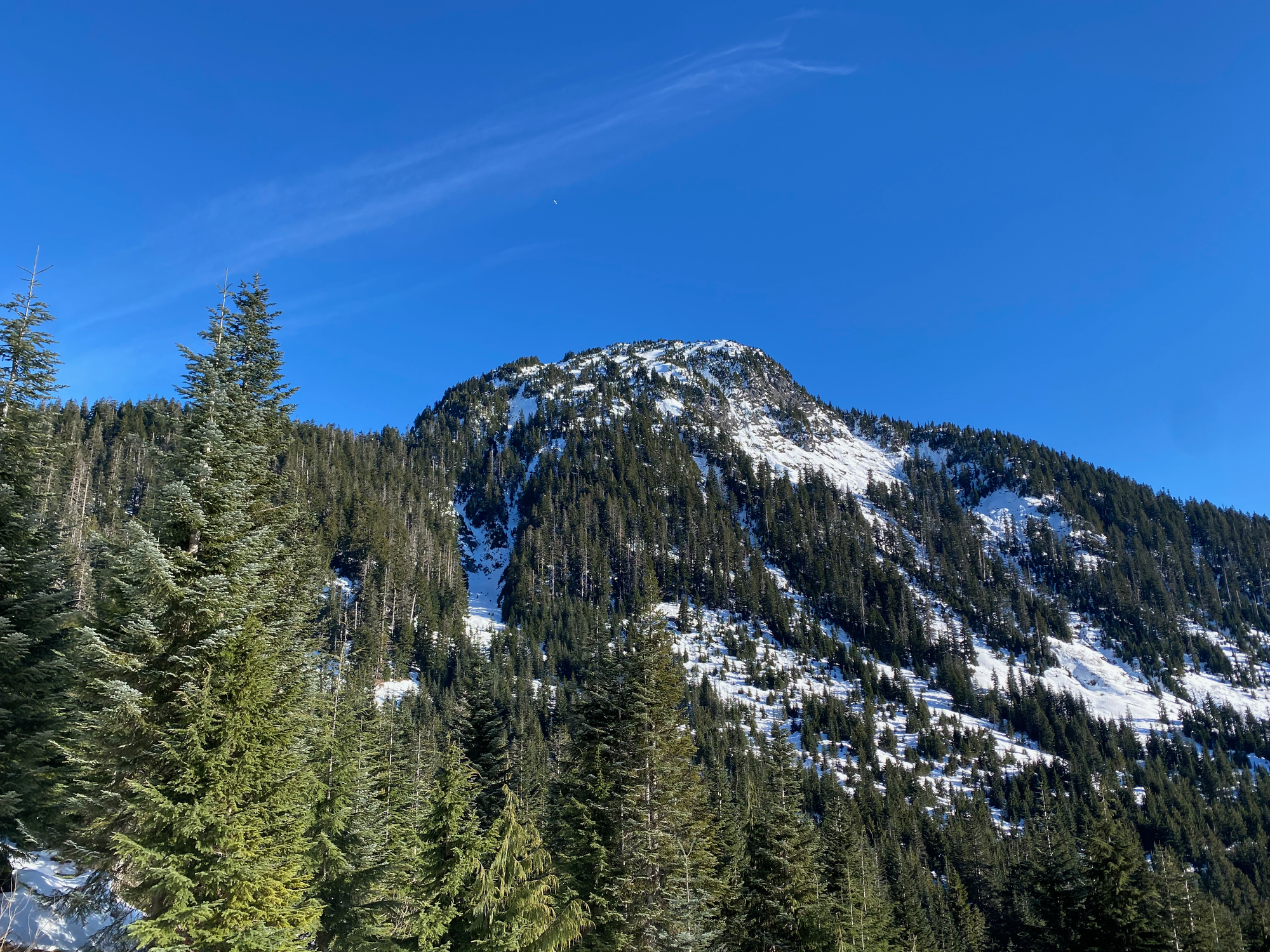
I decided to explore an alternate route to these peaks, ascending a valley immediately southwest of Flinch Peak. This terrain was mostly old-growth forest, including a band of “giant ancient forest”, and would hopefully provide an easier ascent. After climbing Flinch, we’d traverse to Blinch and descend a ridge to the southeast. I posted on the VOC message board and several people signed up; some people bailed, but Paul was able to join. The trip was mostly successful. My route went well, except for a canyon that had to be crossed. We had to bail on Flinch but made it to the summit of Blinch, which was stunning.
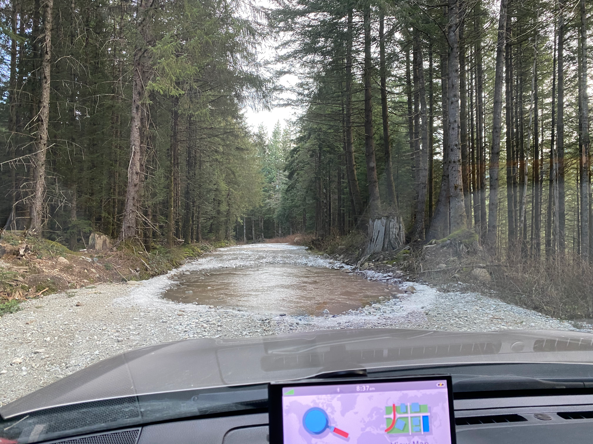
Paul and I met up downtown and drove east, then north, passing through the small farming community of Durieu before venturing onto the Lost Creek FSR. In total we’d be on logging roads for almost an hour. From the start, the road was a bit of an obstacle course with many potholes, which got worse as we ventured further. Around Salsbury Lake, there were several very large potholes filled with icy water, one of which was deeper than expected.
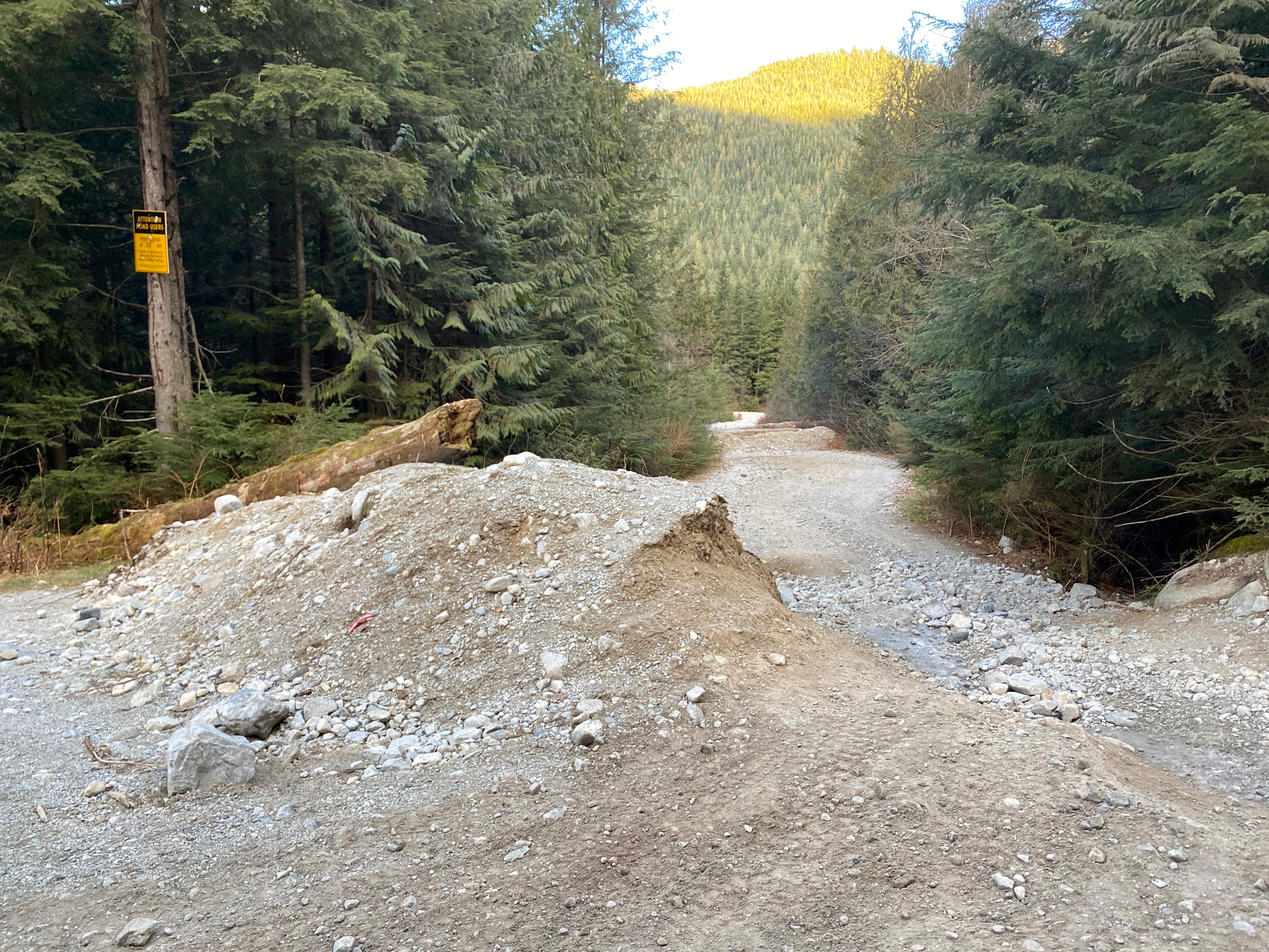
Around 16km, the Lost Creek FSR has been deactivated with large dirt walls for no reason. There was a bypass that could probably be managed with a medium or high clearance 4WD, but it was quite icy and I didn’t want to risk sliding into the ditch, so we parked there. We had brought bikes for this exact situation and they ended up being very useful.
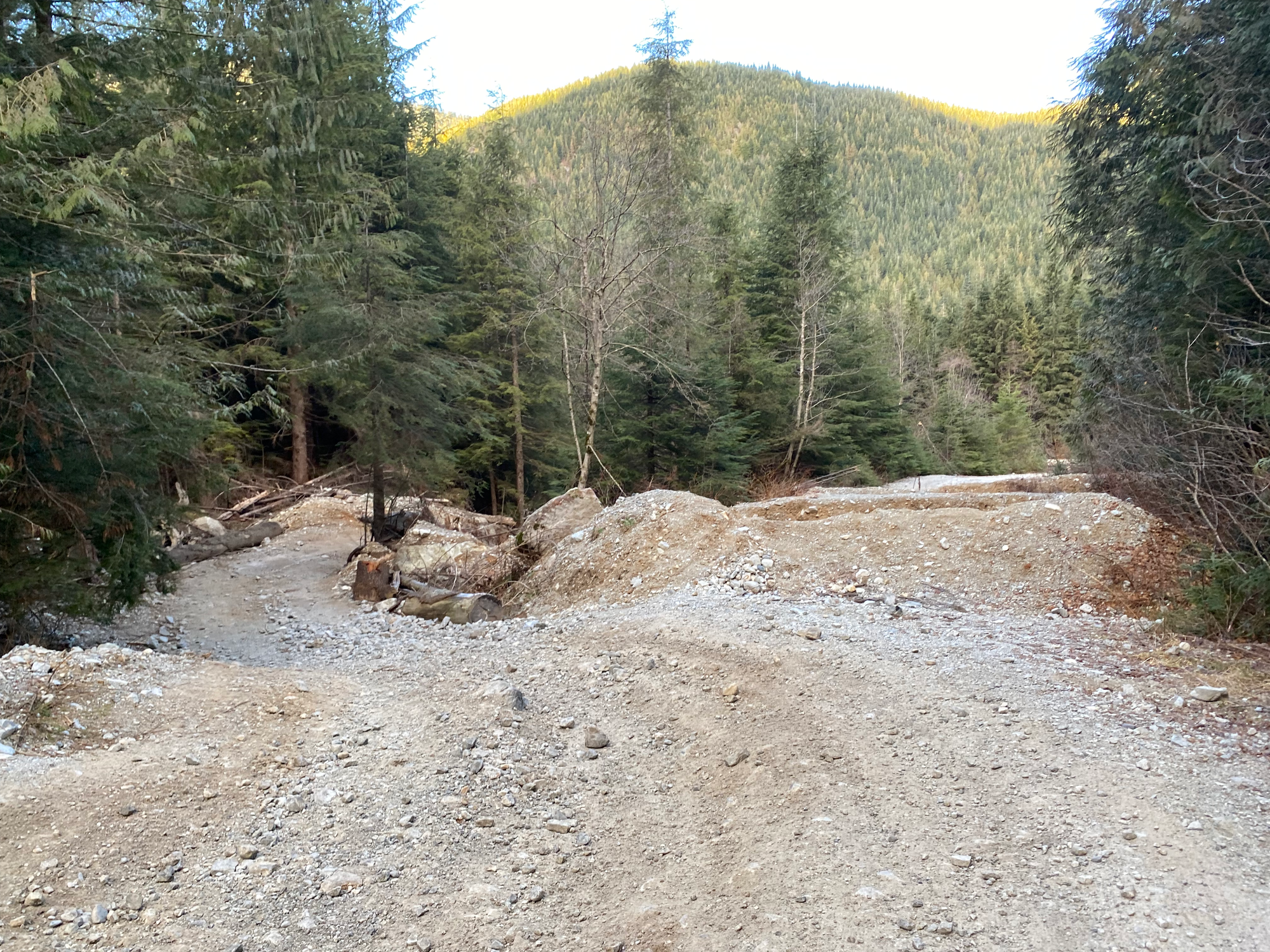
The road surface was very loose as it descended for a few hundred metres towards Terepocki Creek, which is apparently well-known in the Vancouver canyoneering scene. After crossing the creek, the road was in much better shape, perfect for biking apart from a couple large ditches and creek crossings. We ditched the bikes at a large creek crossing about 3km from where we parked, and continued on foot.
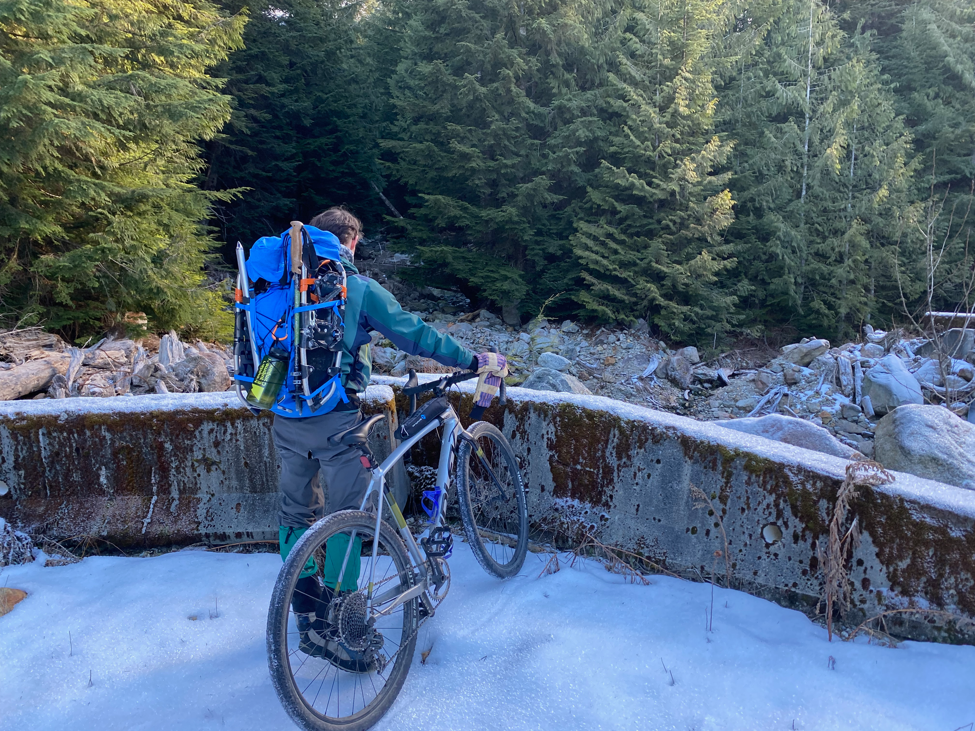
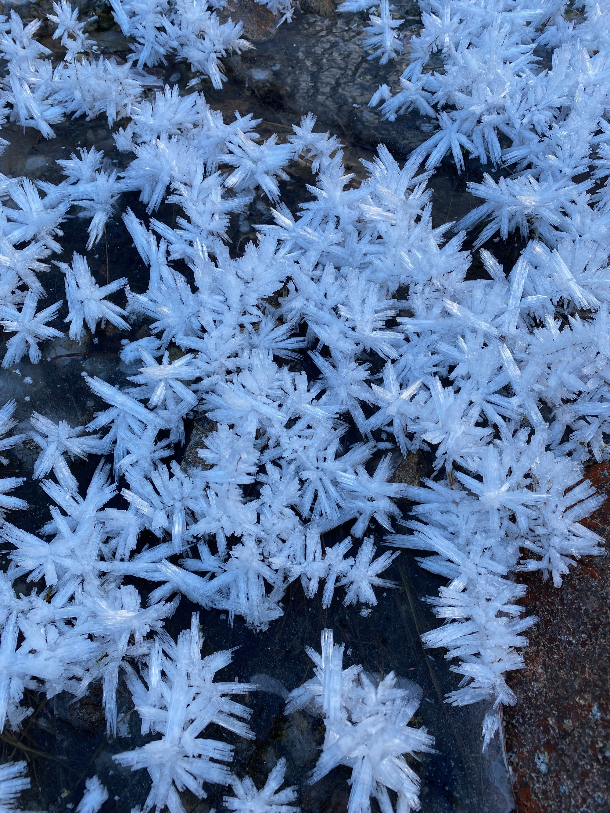
Soon past the creek, we turned right at a fork, onto a road covered in alder. At about 740m we turned right onto another alder-choked branch which was not as bad as expected. This would take us to the valley I wanted to explore.
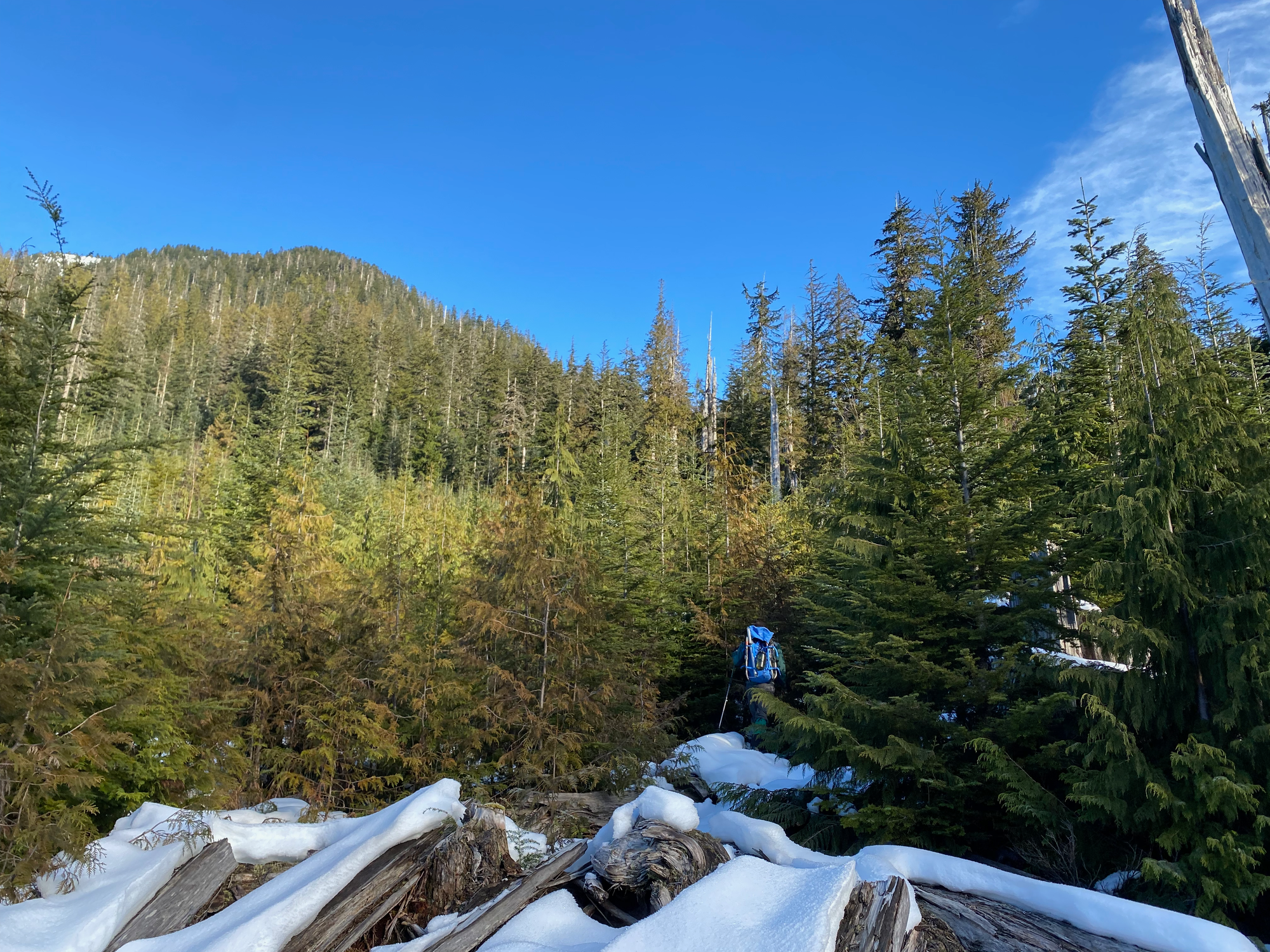
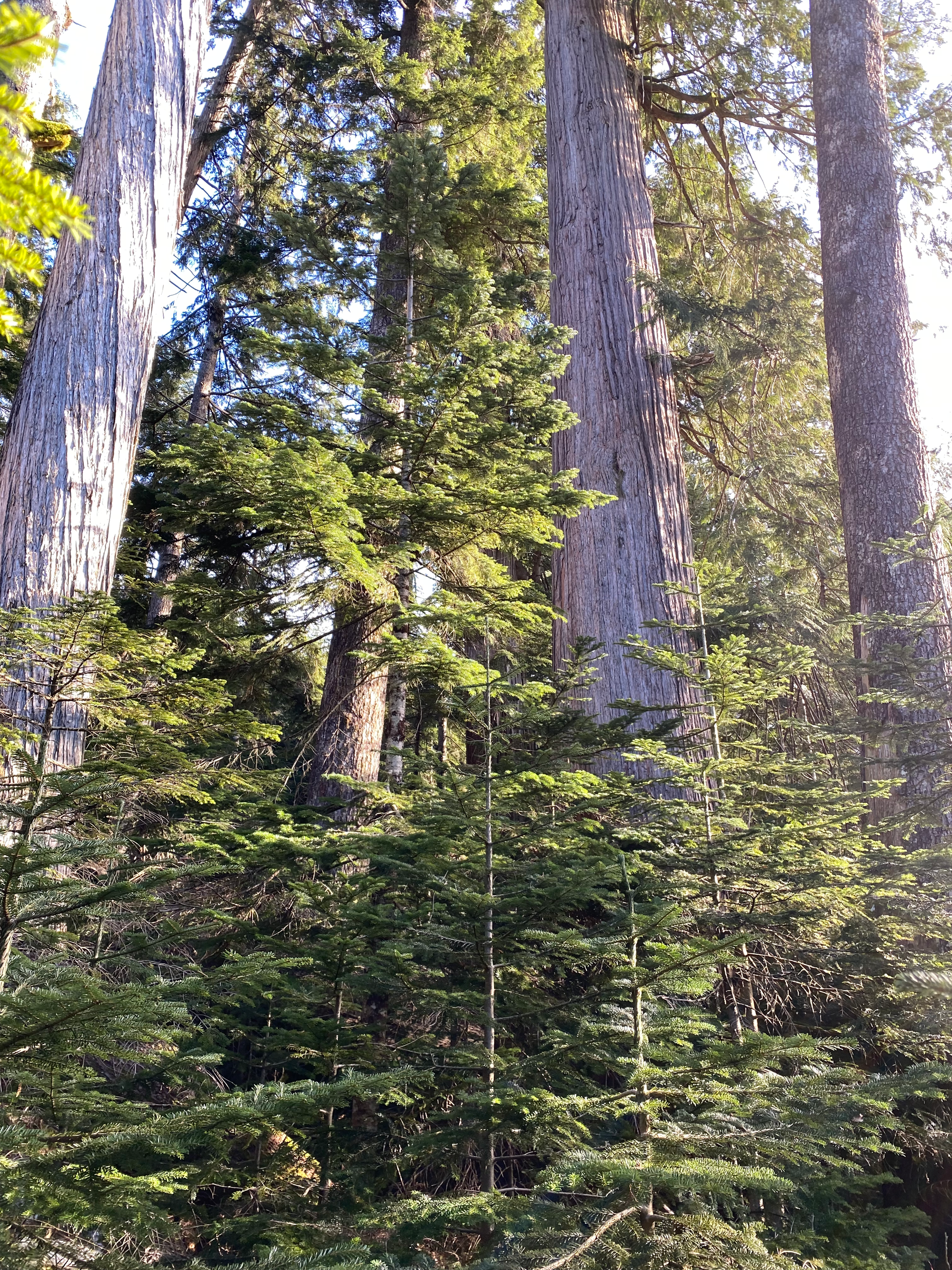
Near the end of the road, we headed northeast into the cutblock. After about 100m we entered an area of old-growth forest, which was far more open and offered much easier travel, with minimal bushwhacking. It turns out we’d gone too far north and west and avoided the “giant ancient forest” on the BC forest map, instead traveling through regular ancient forest. At two points we had to cross small creek valleys.
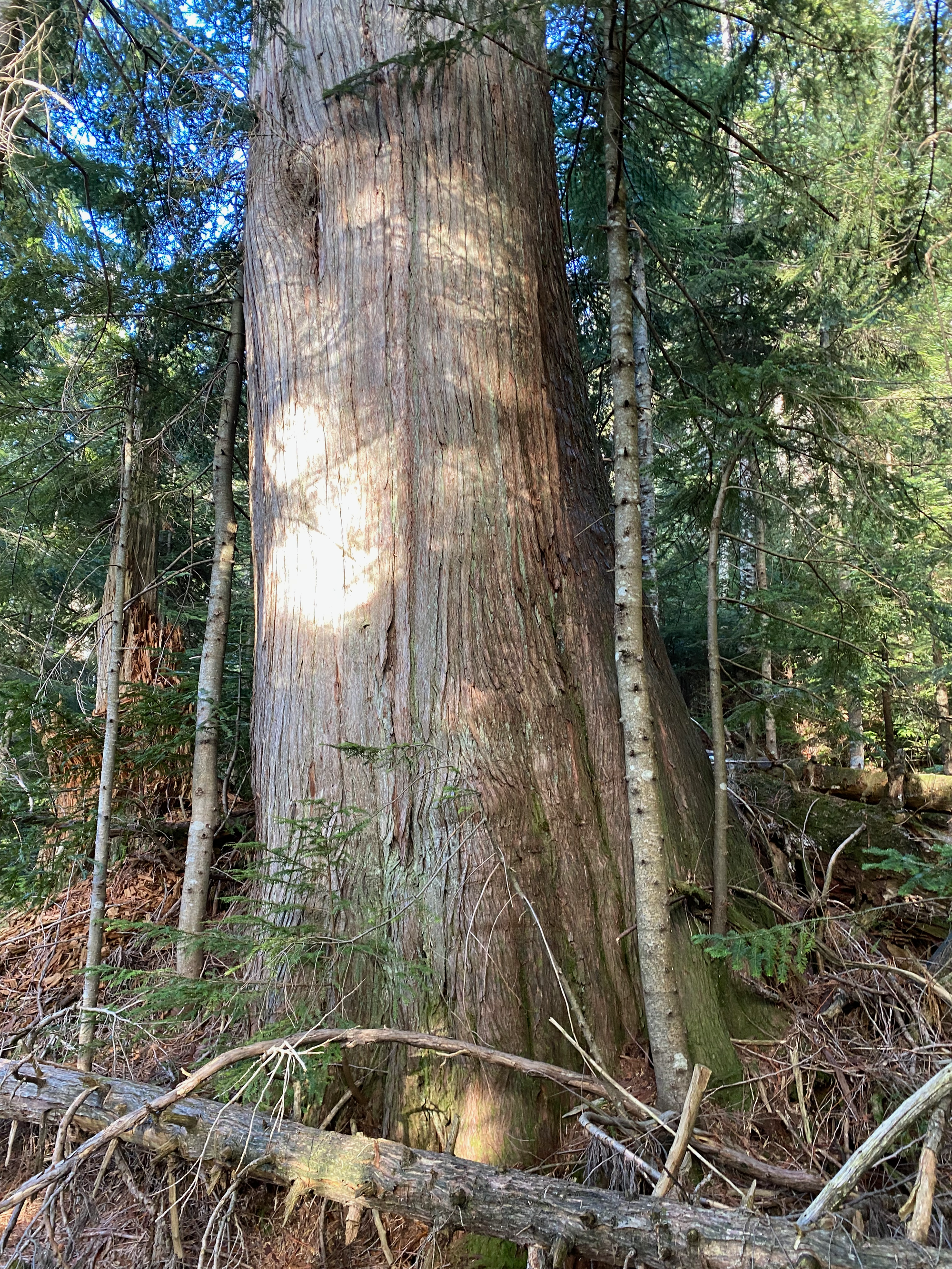
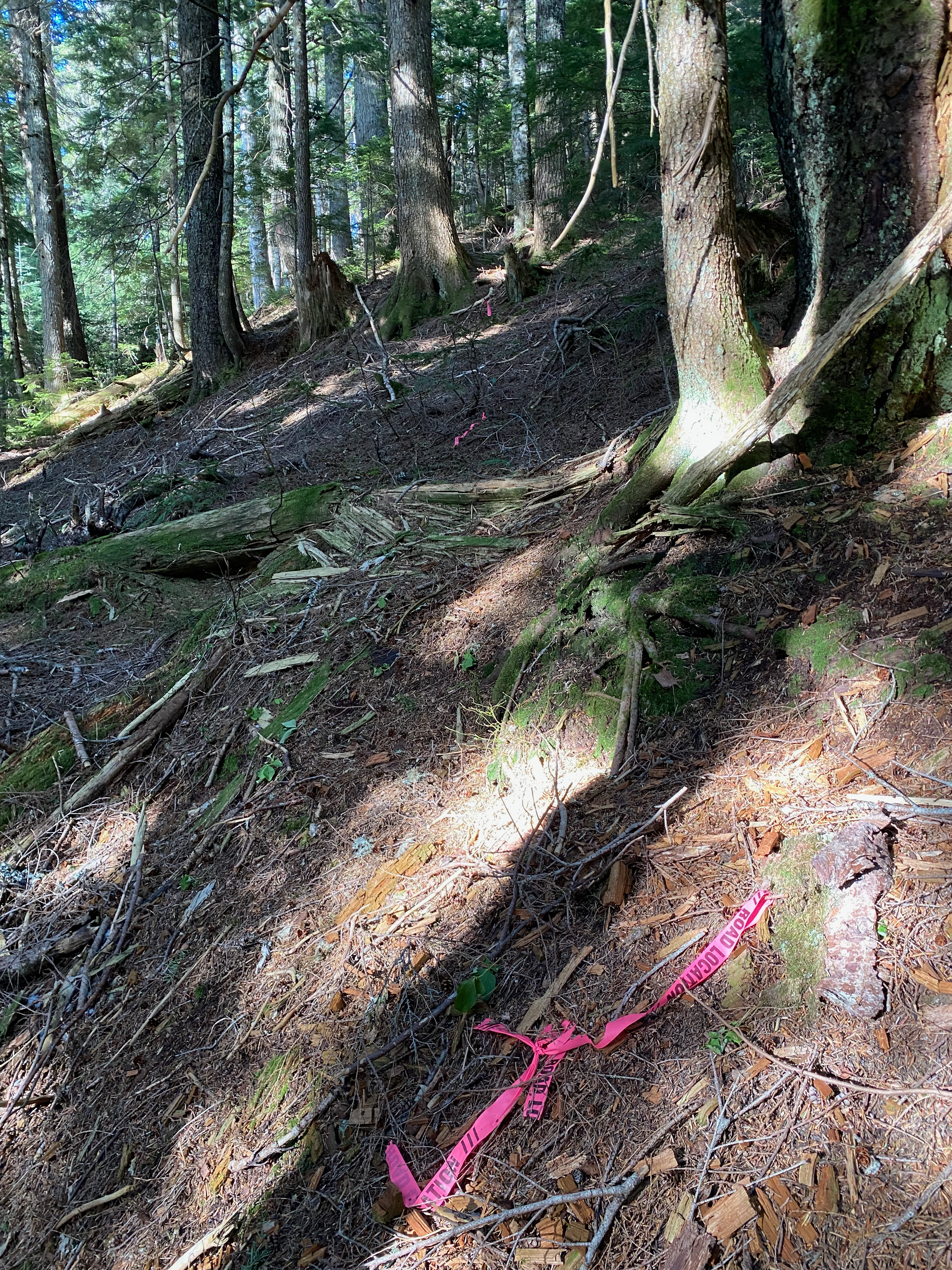
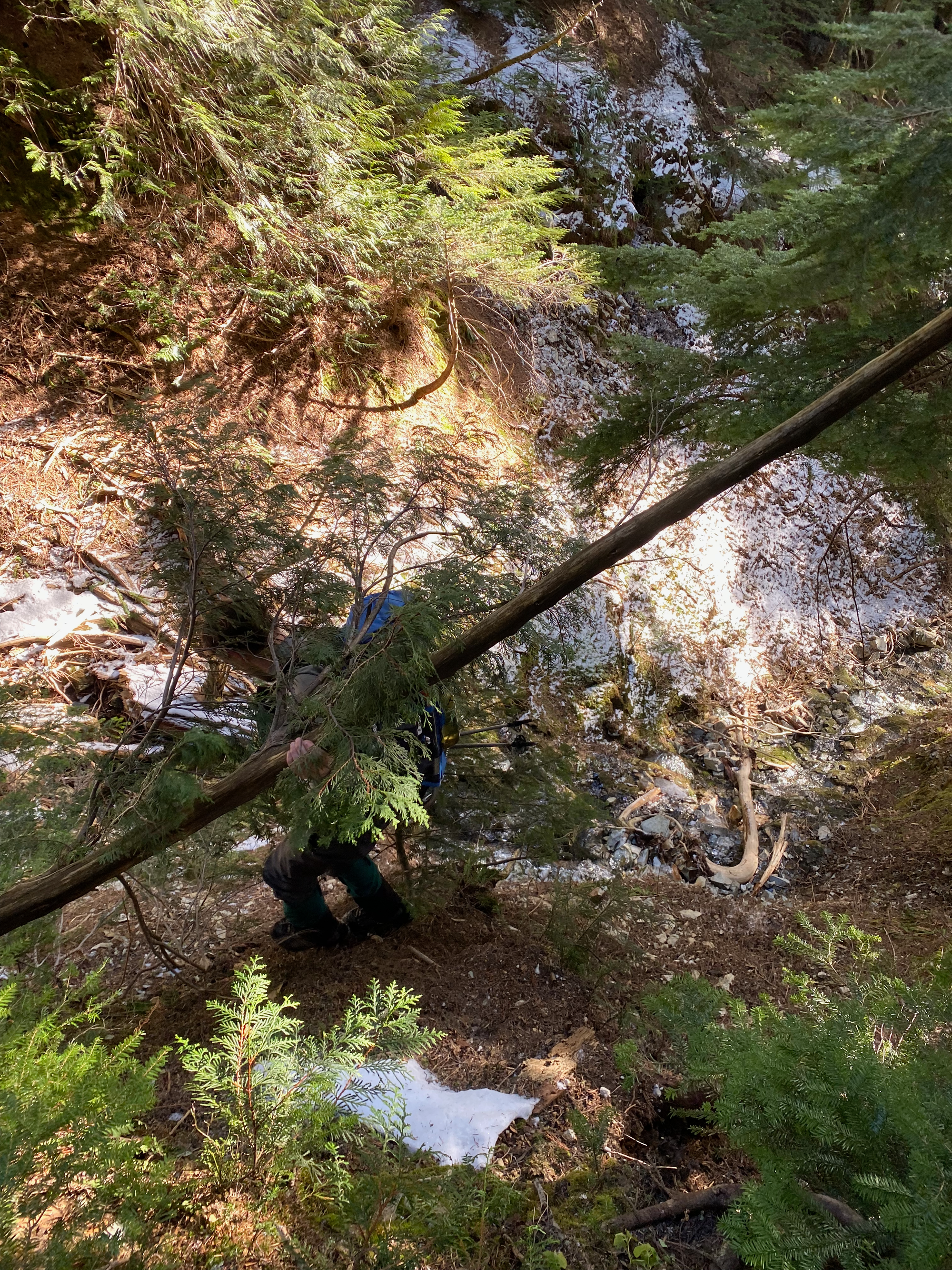
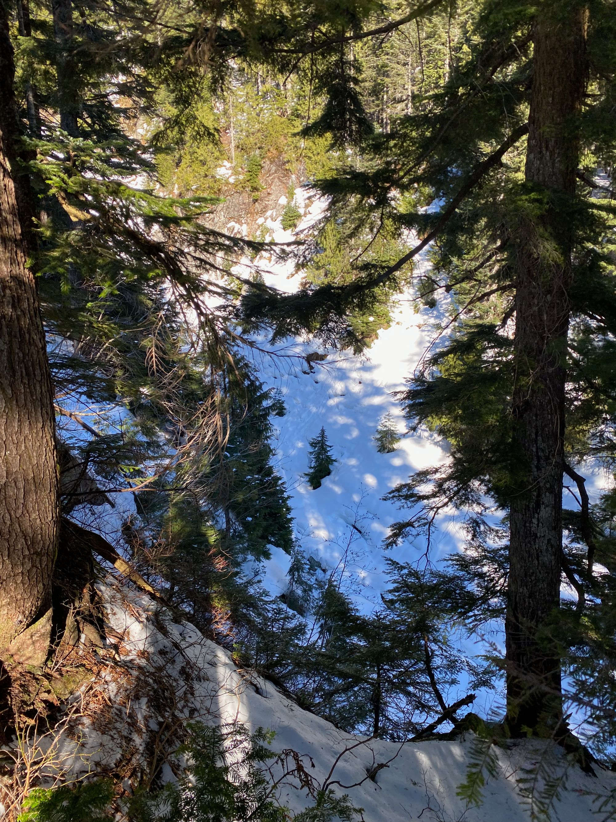
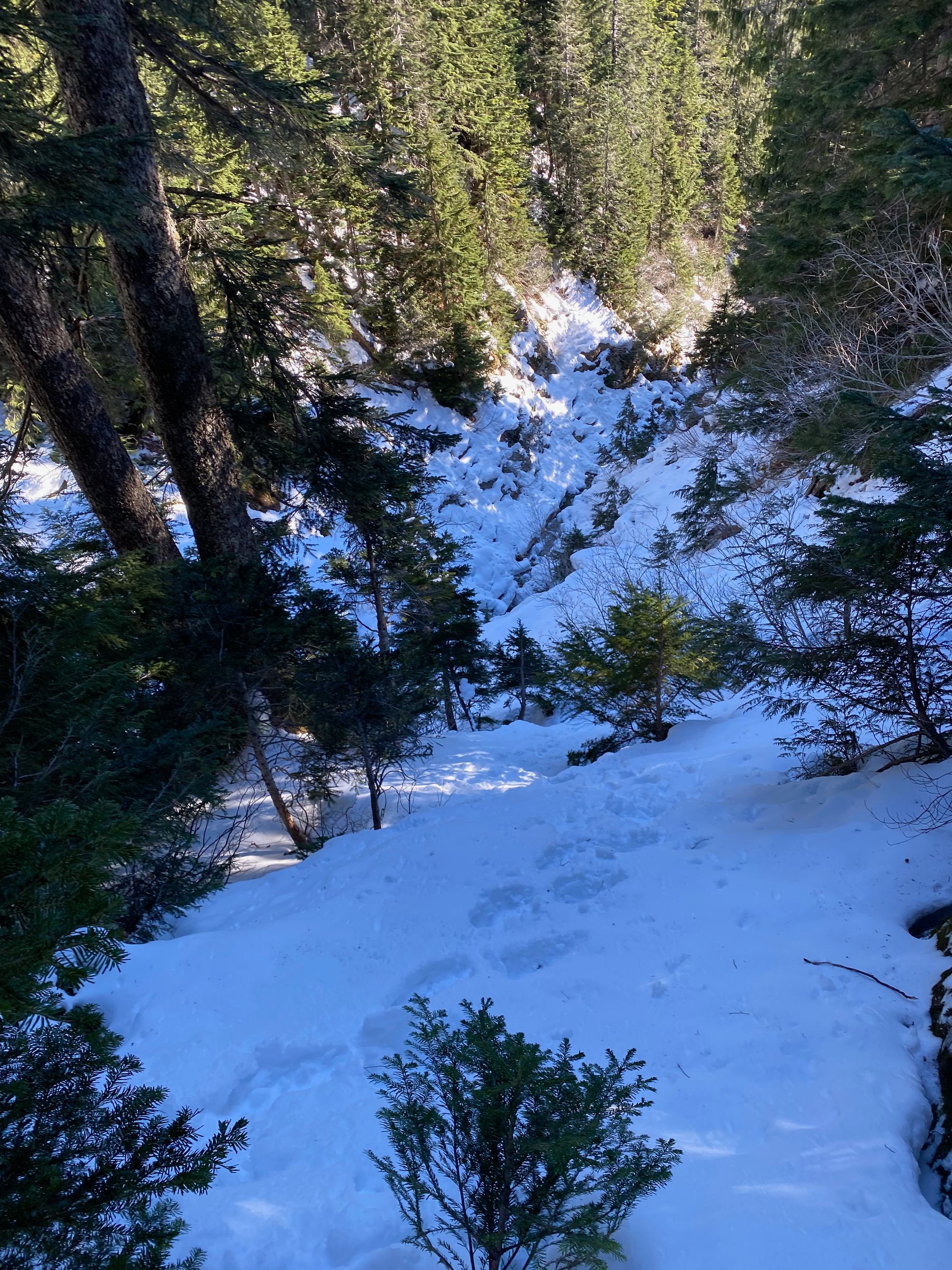
Around 1020m we encountered our first major obstacle, a deep canyon that had to be crossed. There were steep cliffs on both sides but Paul found a natural ramp that allowed access. We put crampons on, climbed down the ramp, and ascended the other side. Future adventurers might wish to ascend closer to this creek and cross further downstream, where the canyon seems to be less deep.
Soon we were at the Blinch-Flinch col. We put snowshoes on and headed east to the base of a steep bluff.
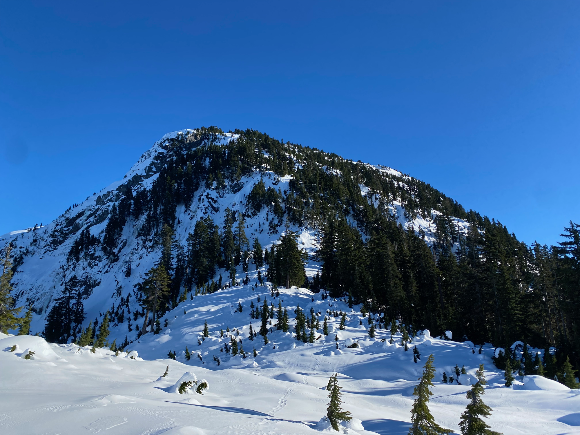
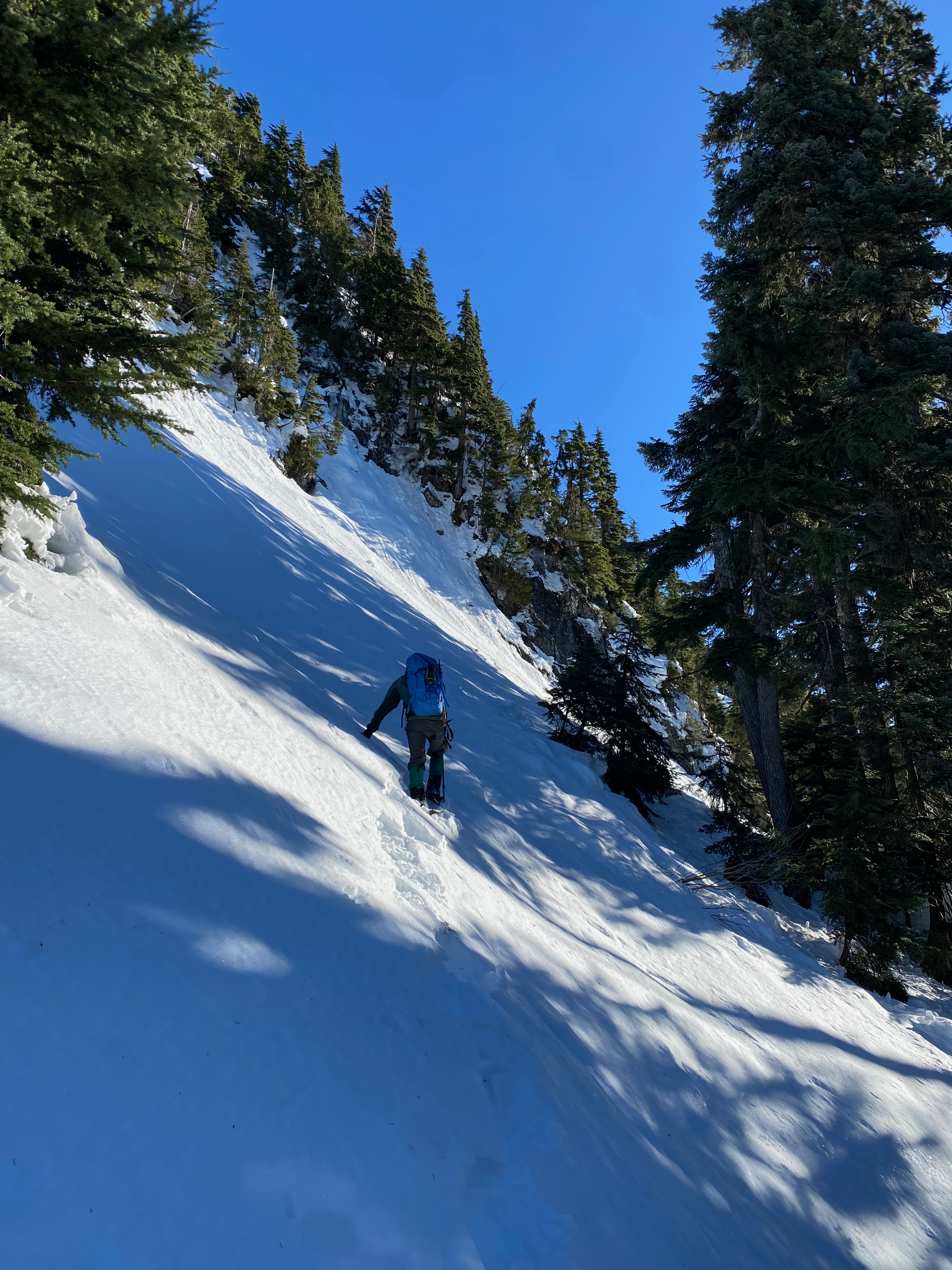
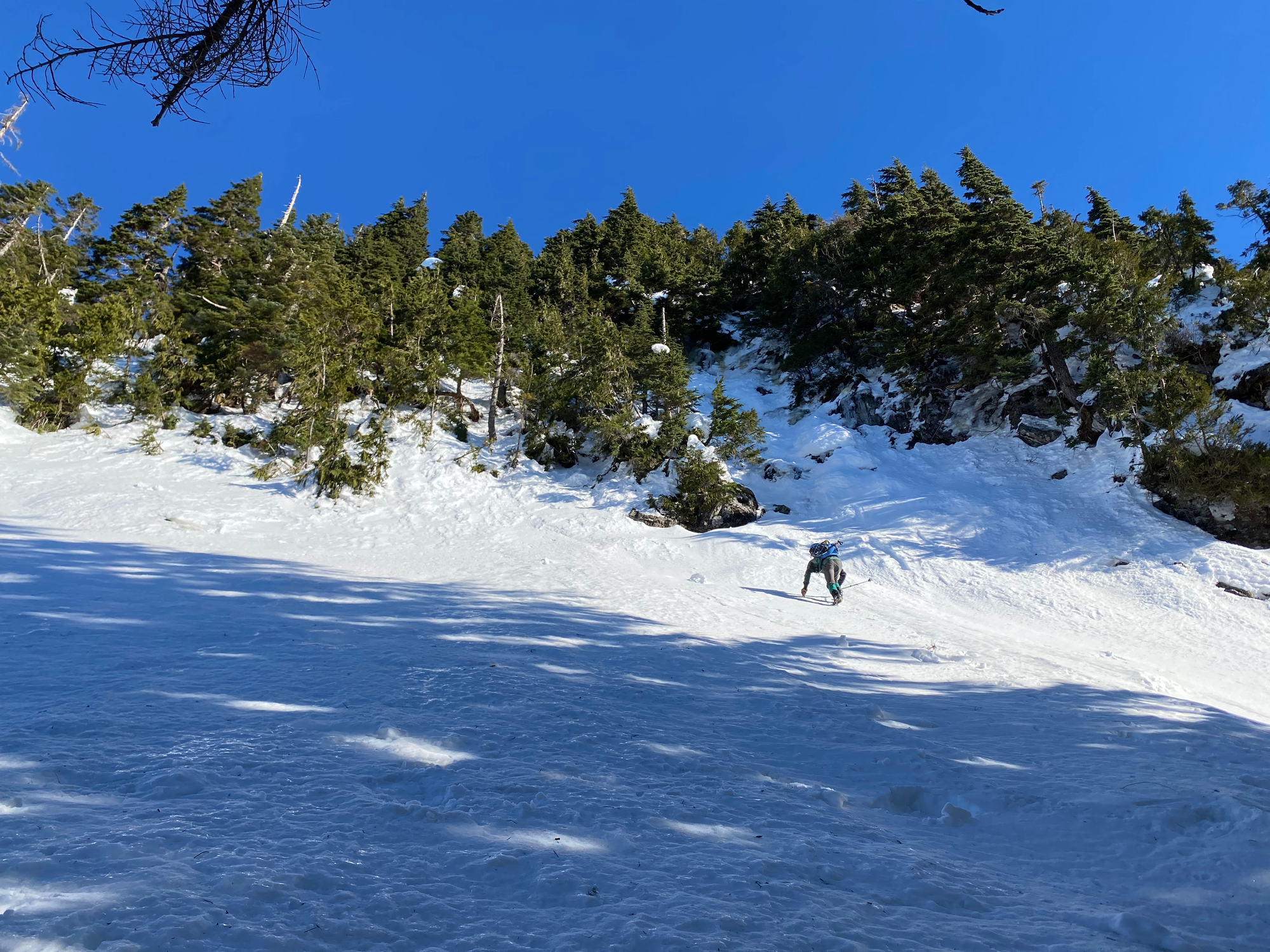
This was going to be the crux of the trip. Steven Song’s group had ascended this bluff directly, using trees as handholds. We tried to do the same, but the snow consisted of a thin crust on top of deep powder and provided very little support. It didn’t seem safe to keep going, and we were running out of time to get Blinch, which was the main goal of the day, so we decided to bail on Flinch.
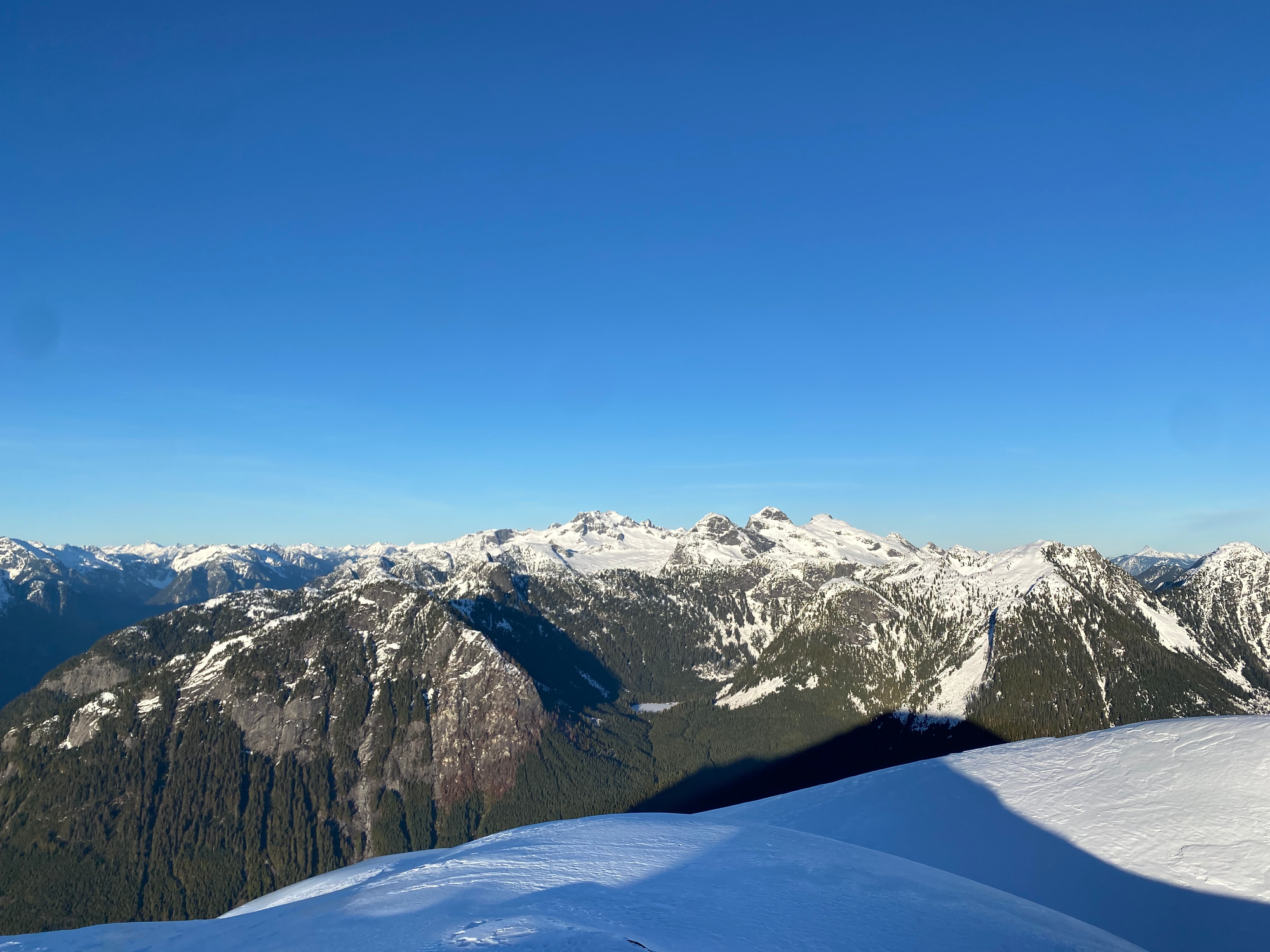
We returned to the Blinch-Flinch col and had lunch, gazing across the valley at some extremely obscure Chehalis-area peaks we’d never seen before.
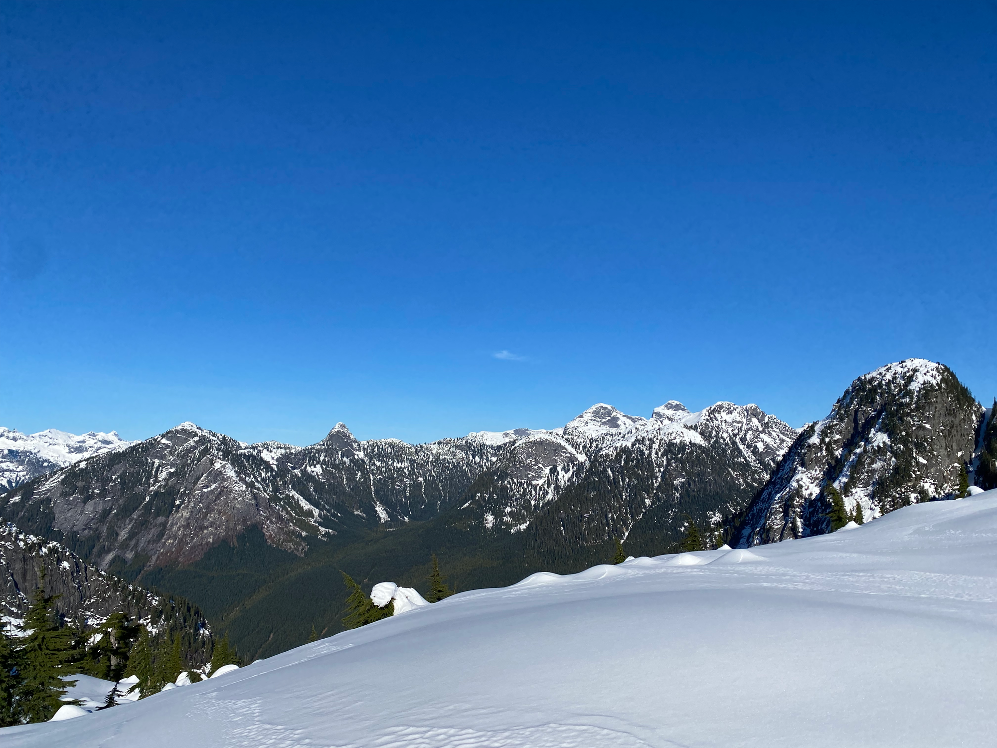
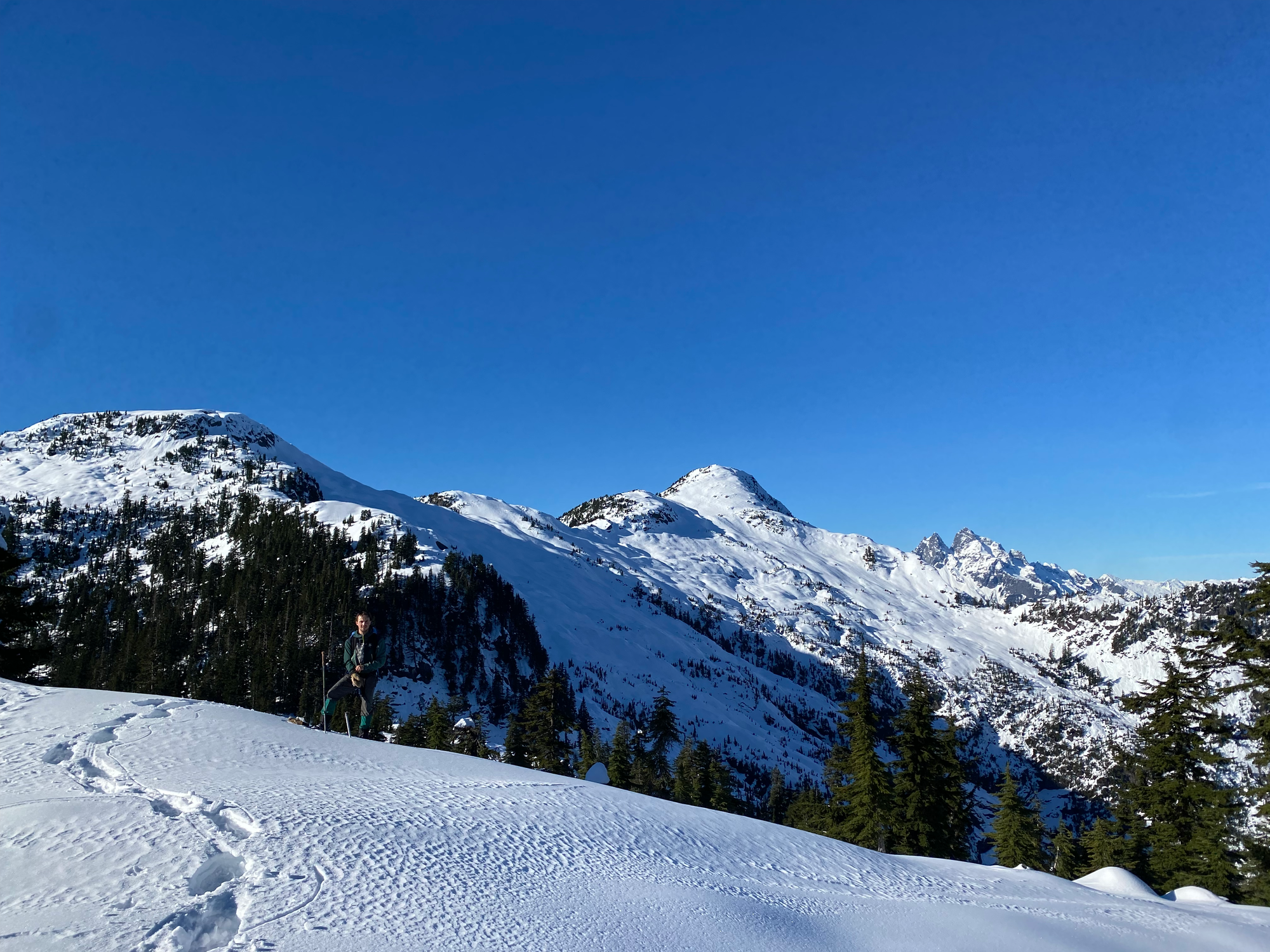
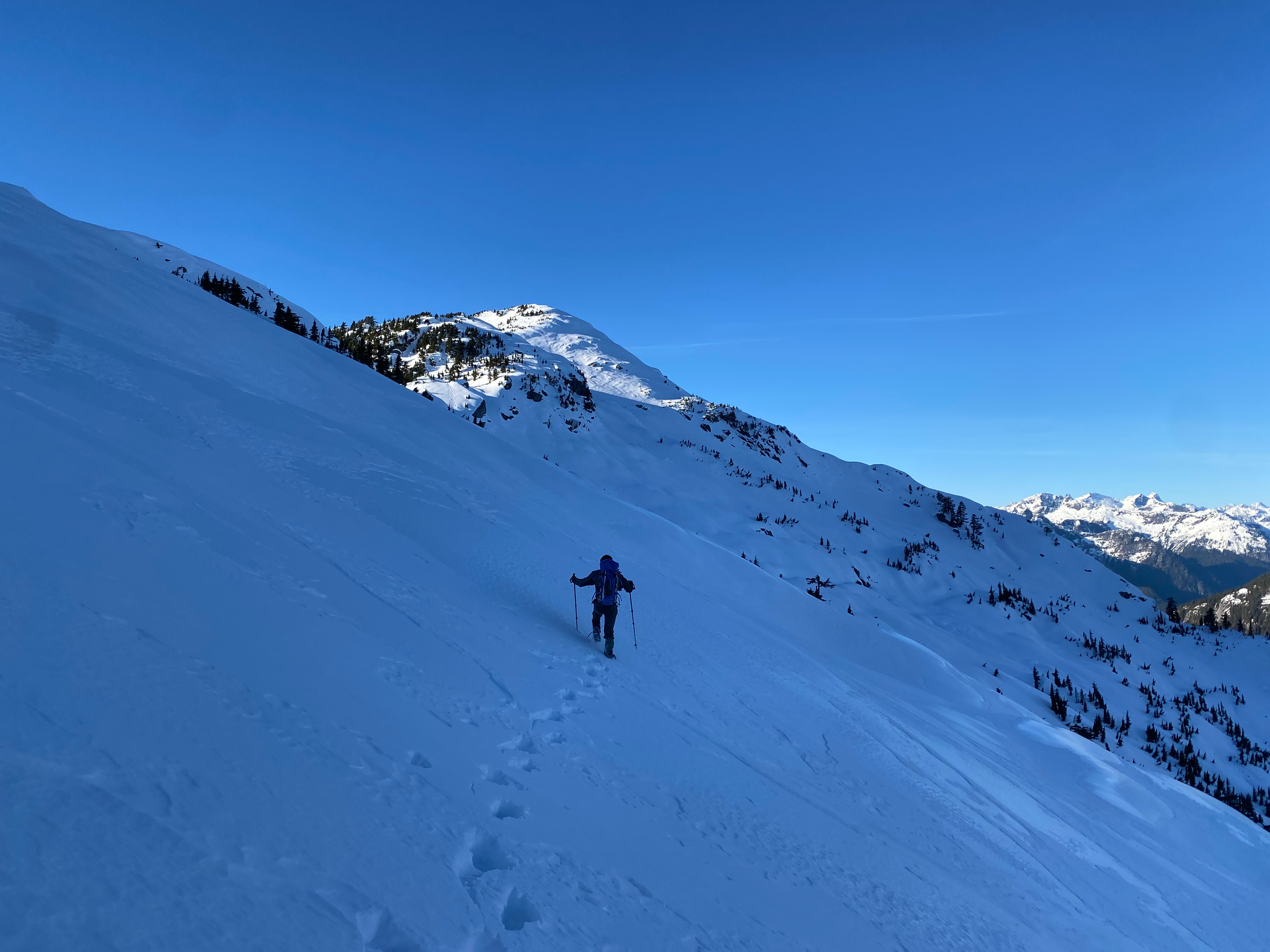
There are several bumps between Flinch and Blinch, so we saved energy by directly traversing their north face to the base of Blinch, taking advantage of the low avalanche risk.
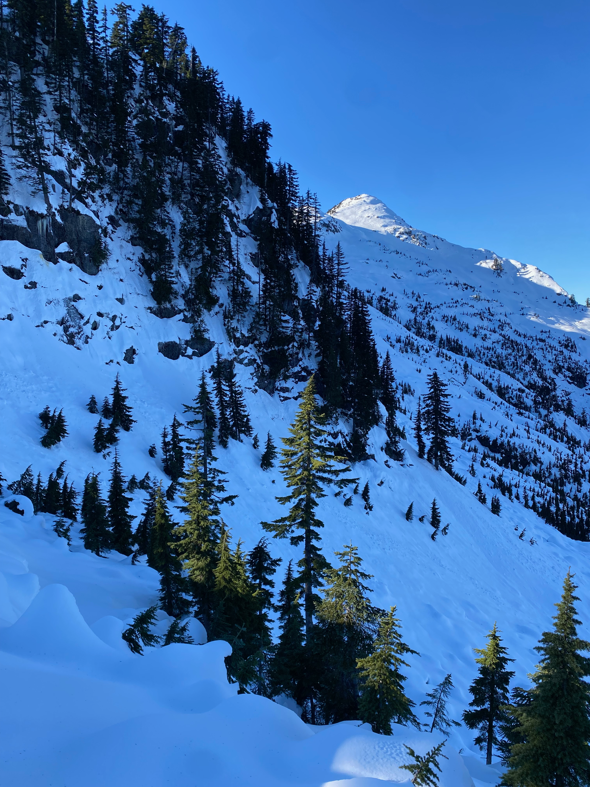
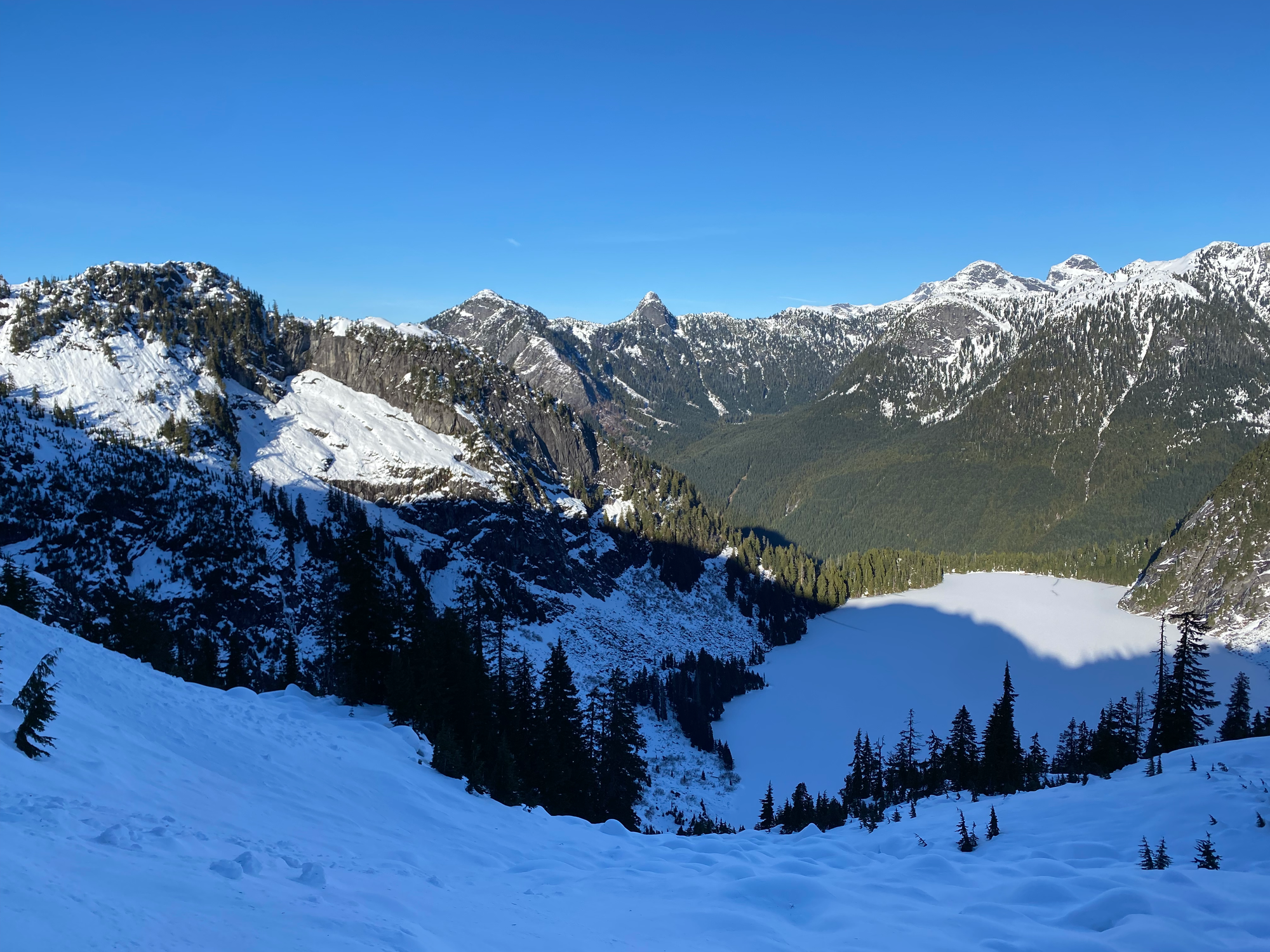
We lost a bit of elevation to bypass a cliff band, then continued heading steadily uphill to the northwest, traversing a few gullies. We ascended Blinch’s southeastern face, passing a few false summits, until we reached the peak.
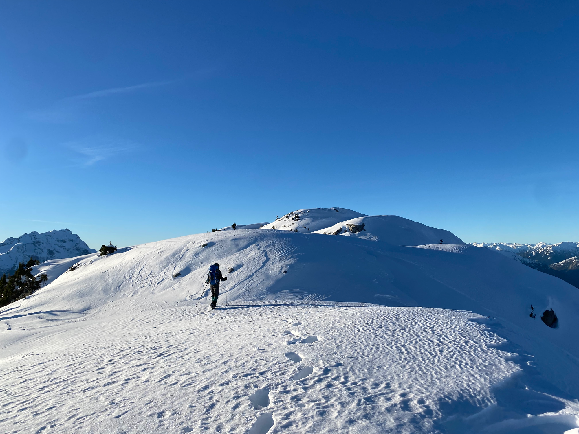
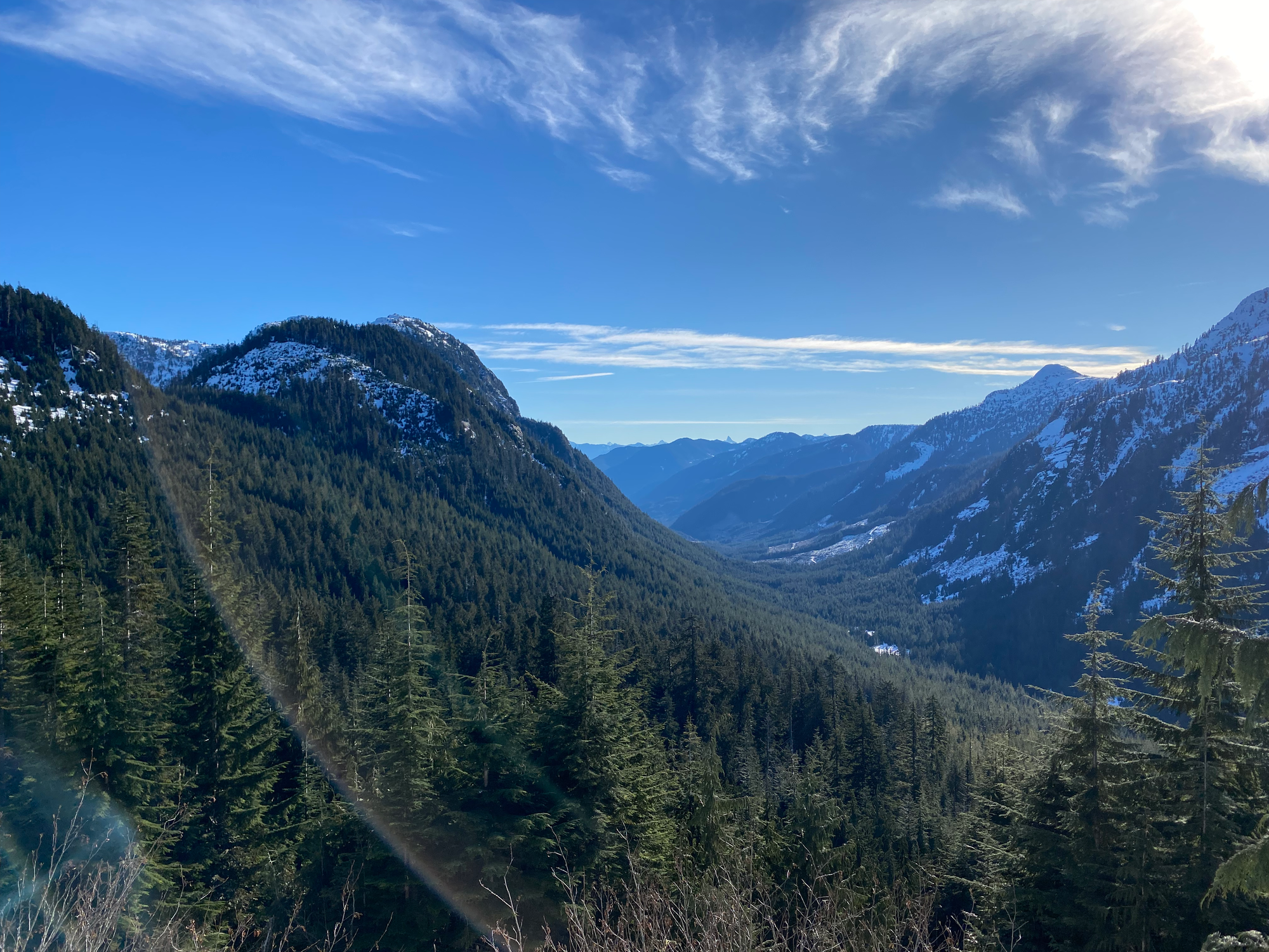
As expected, the views were excellent, with a great vantage point of the Judge and Robie Reid and surprisingly nice views of the Chilliwack peaks to the south. It felt very remote, with only the faintest view of the Fraser Valley in the distance. Sunset was approaching and we could not stay long.
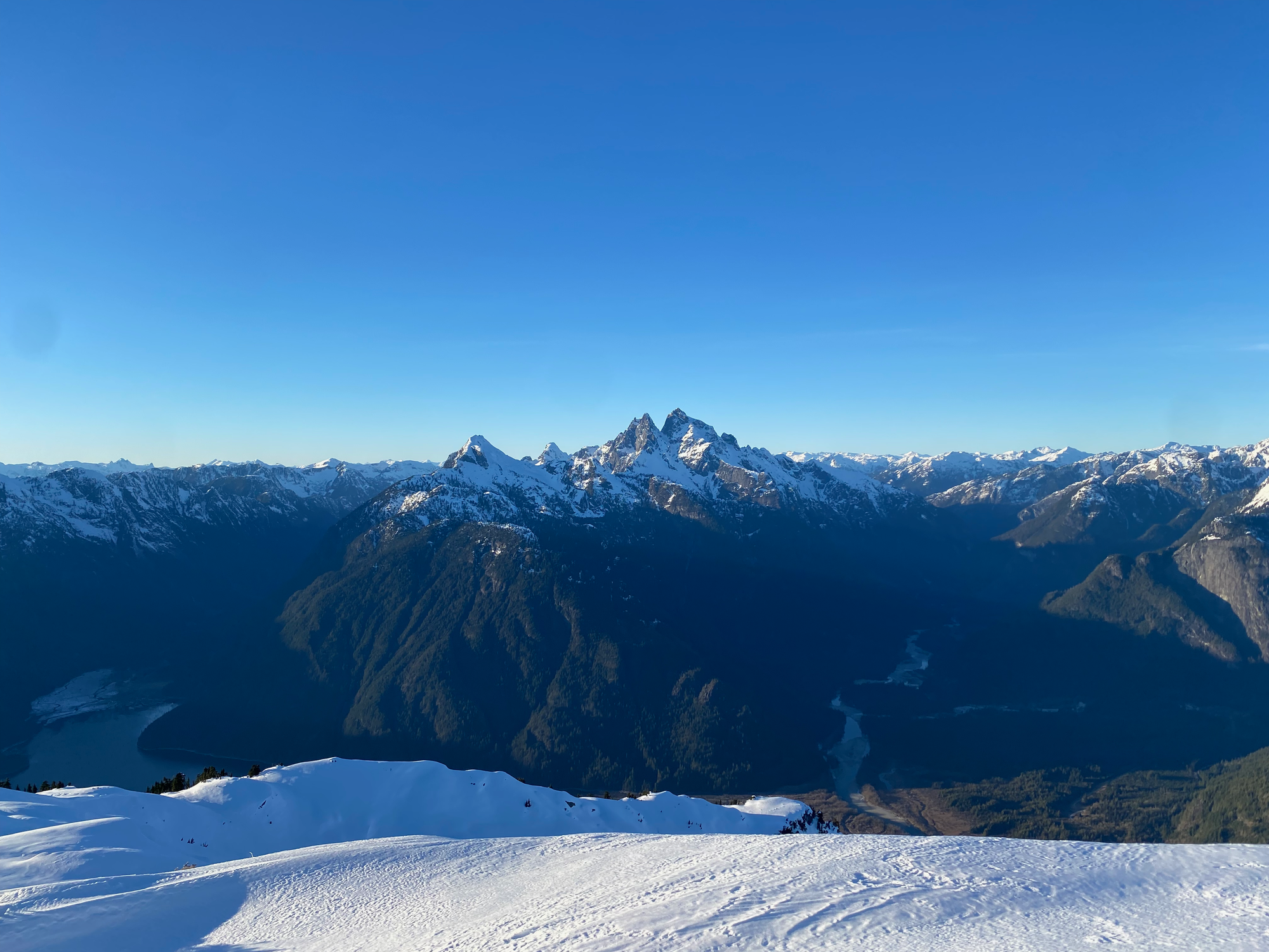
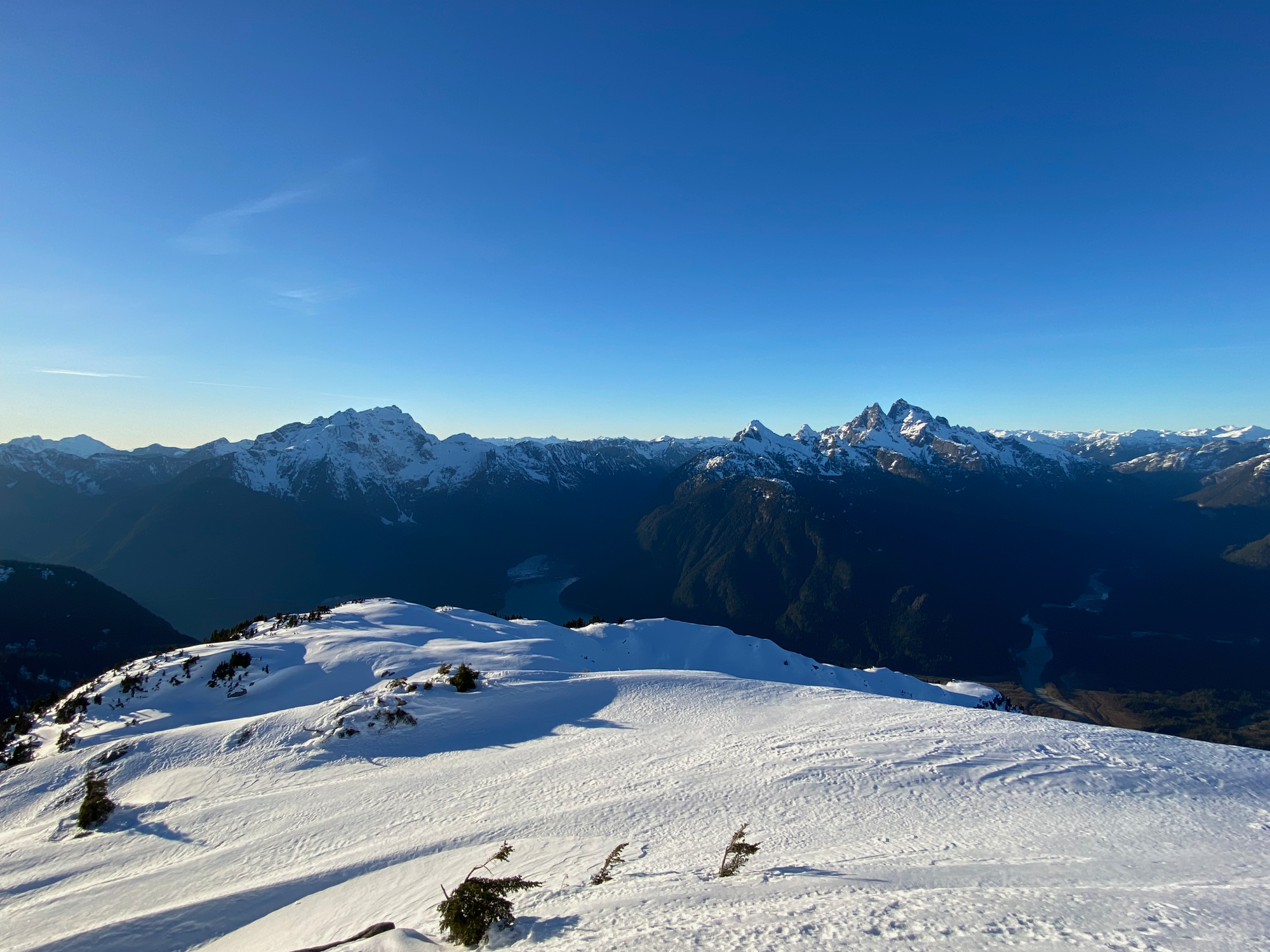
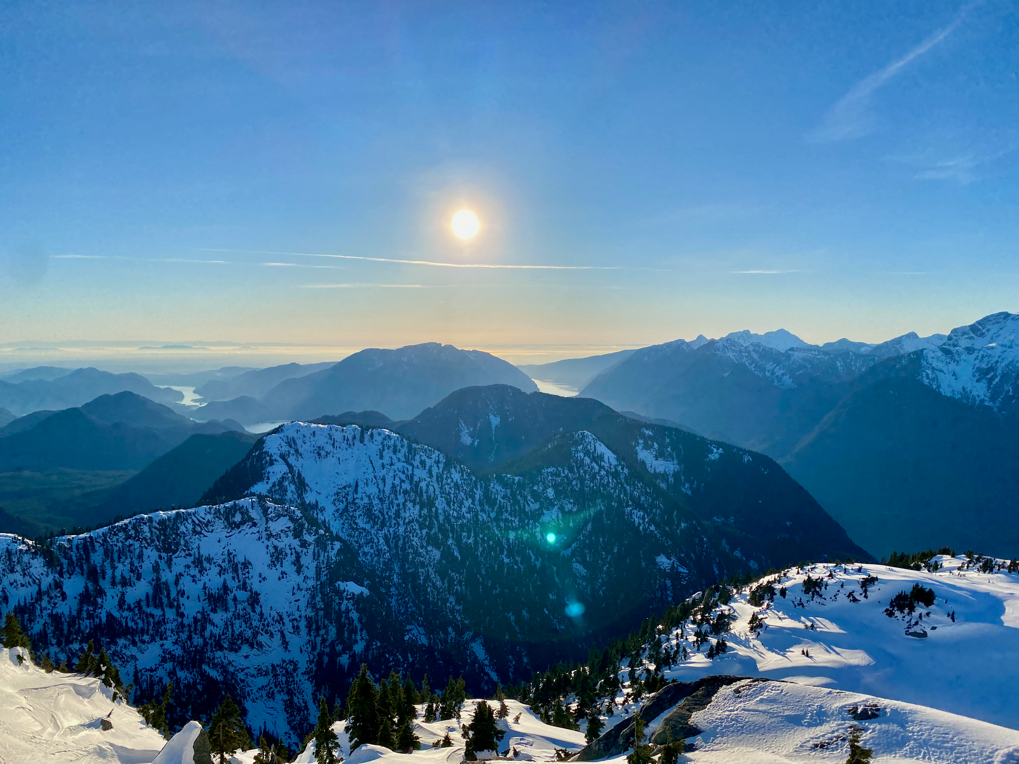
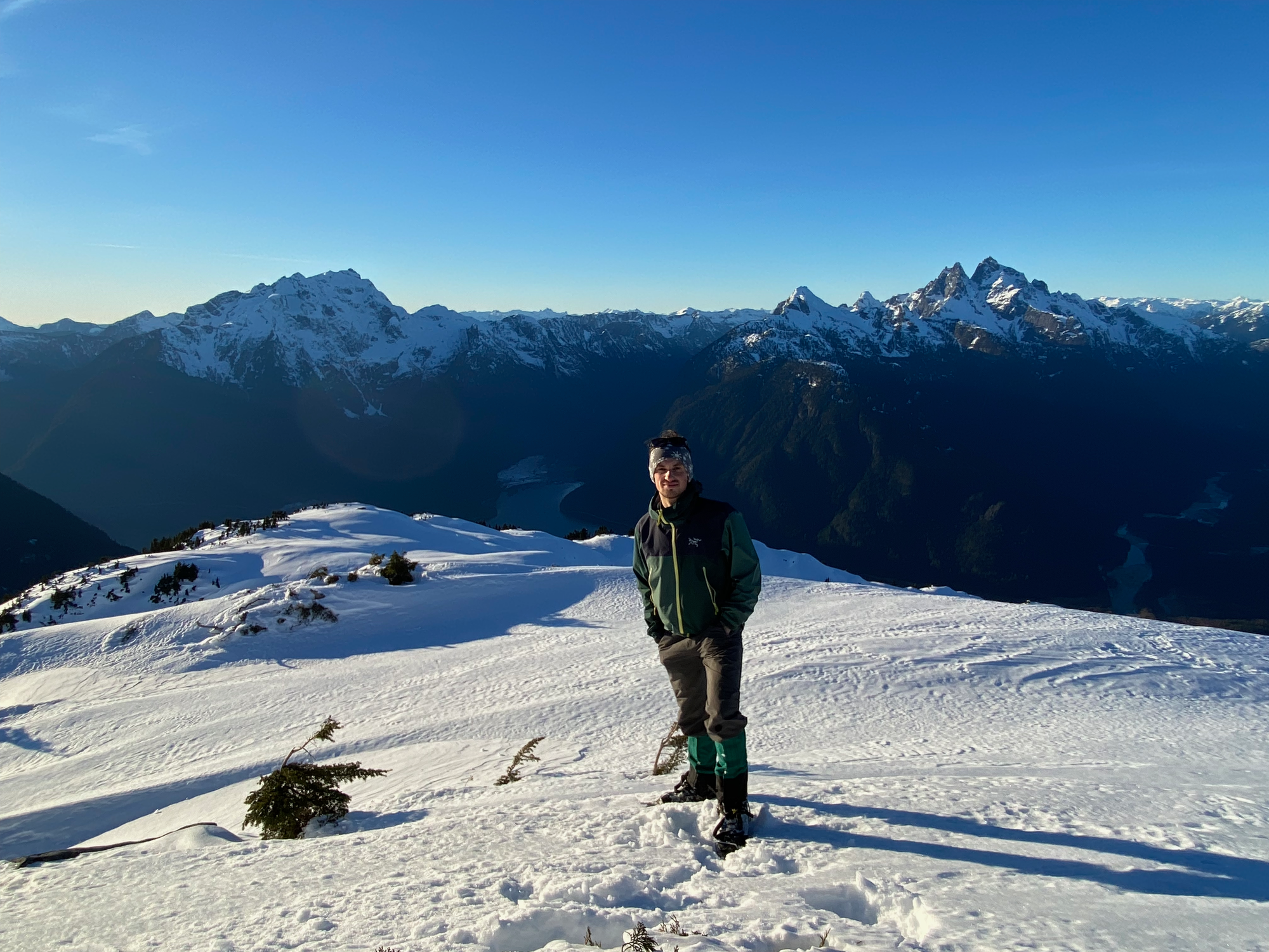
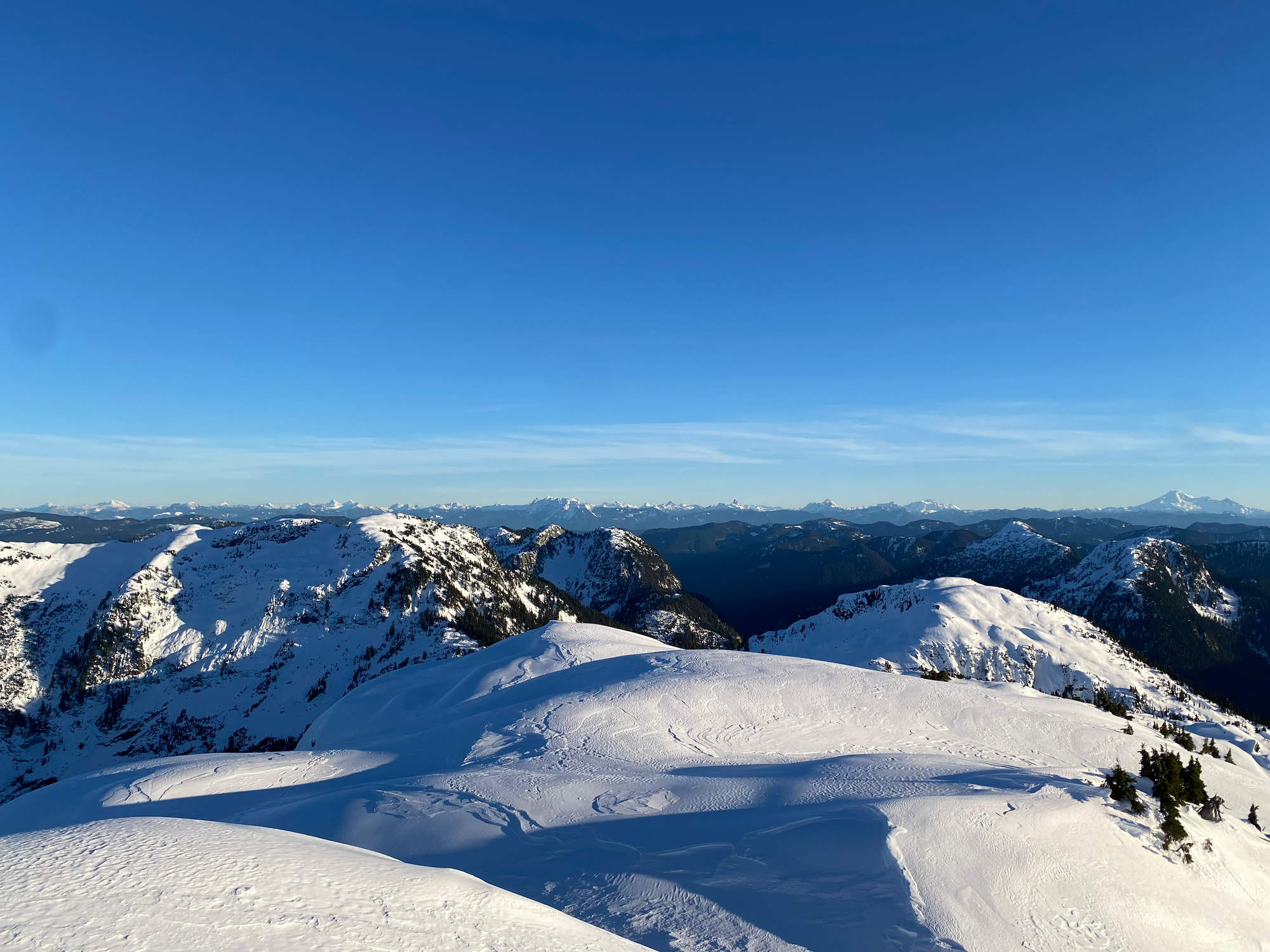
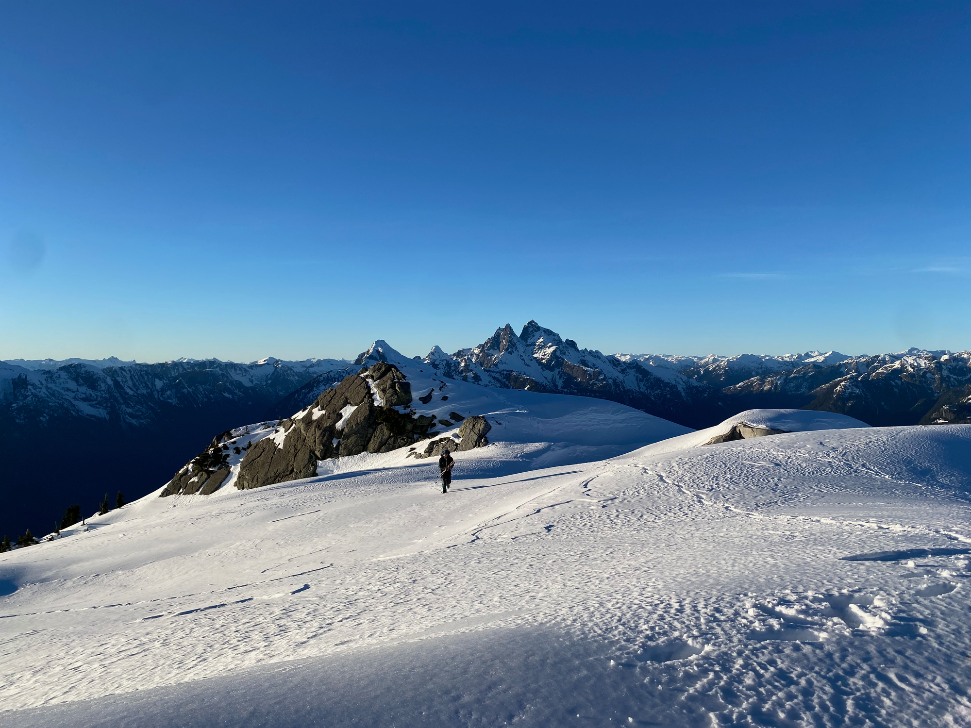
To descend, we followed a track on peakbagger.com. We went to the next bump on the ridge between Blinch and Flinch, crossing a beautiful valley in golden hour to do so. From there, we went down the ridge to the southwest above the canyon, then crossed the canyon to another ridge once the topography allowed. Through the trees we had nice views of the sunset and Mt. Crickmer.
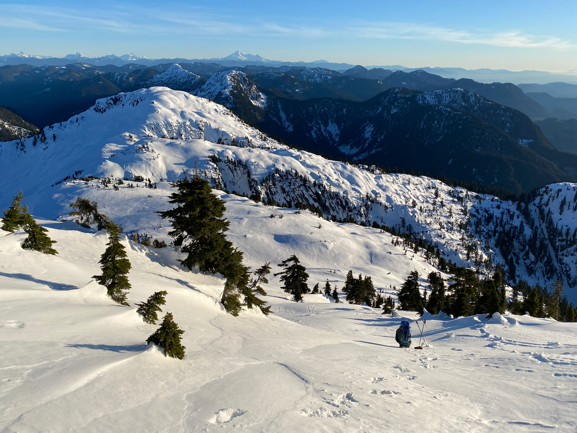
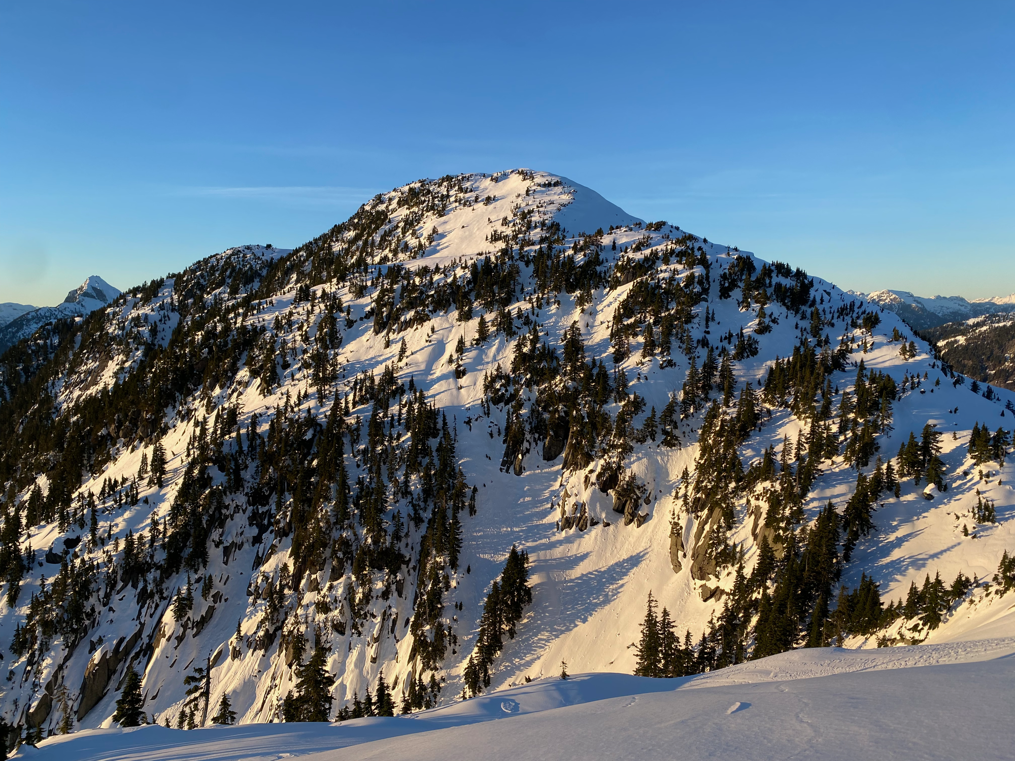
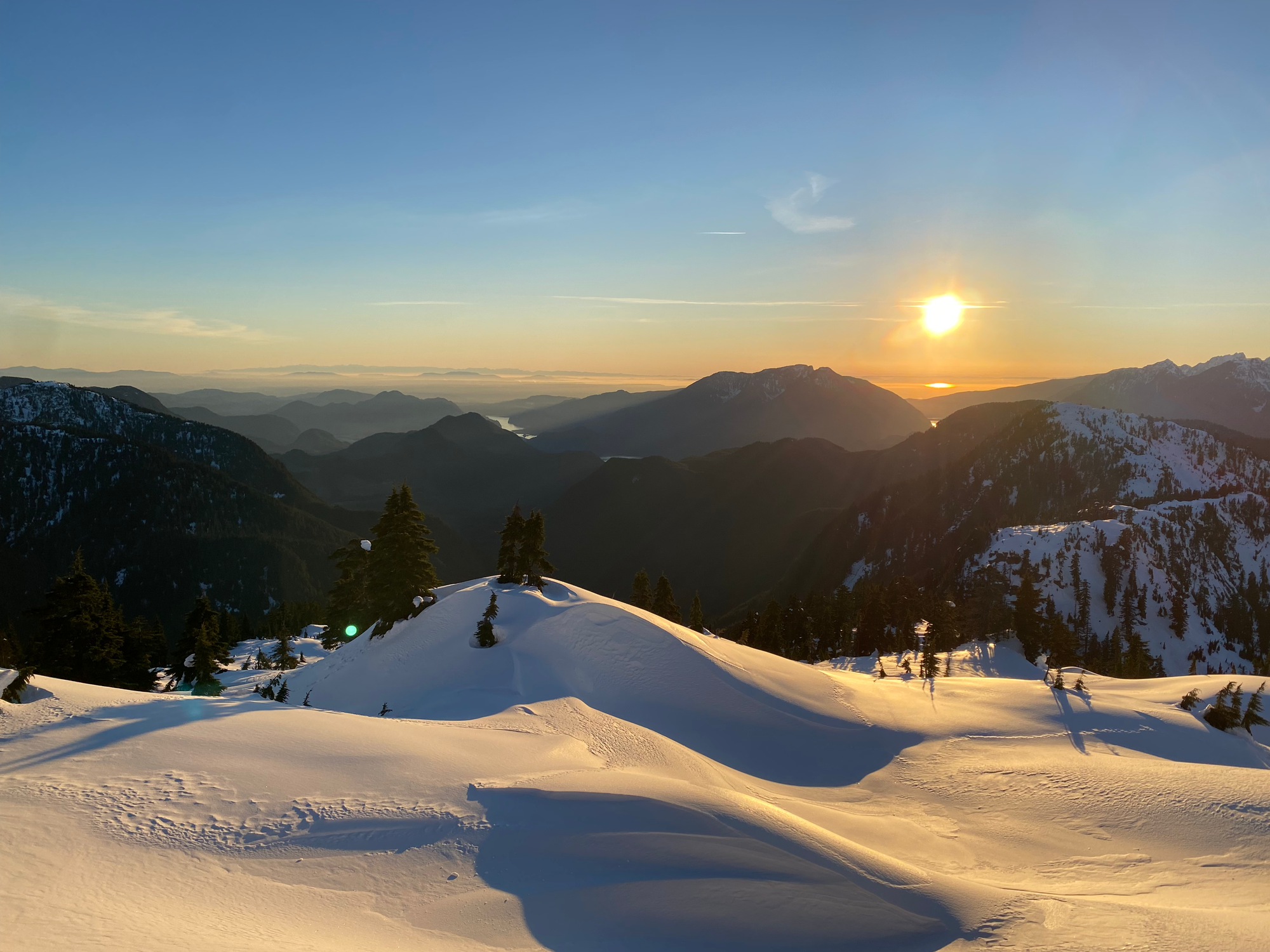
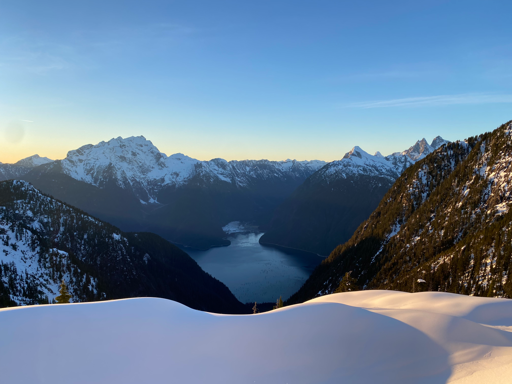
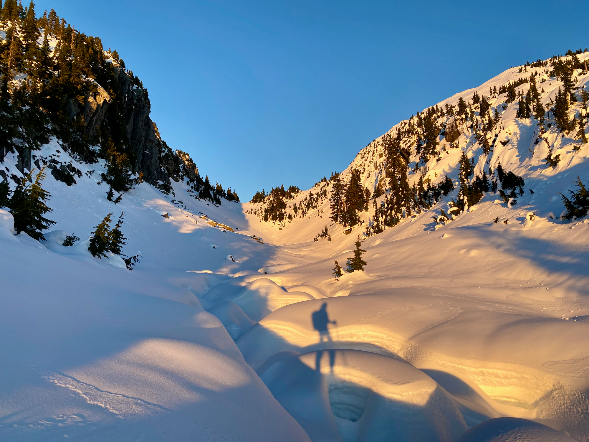
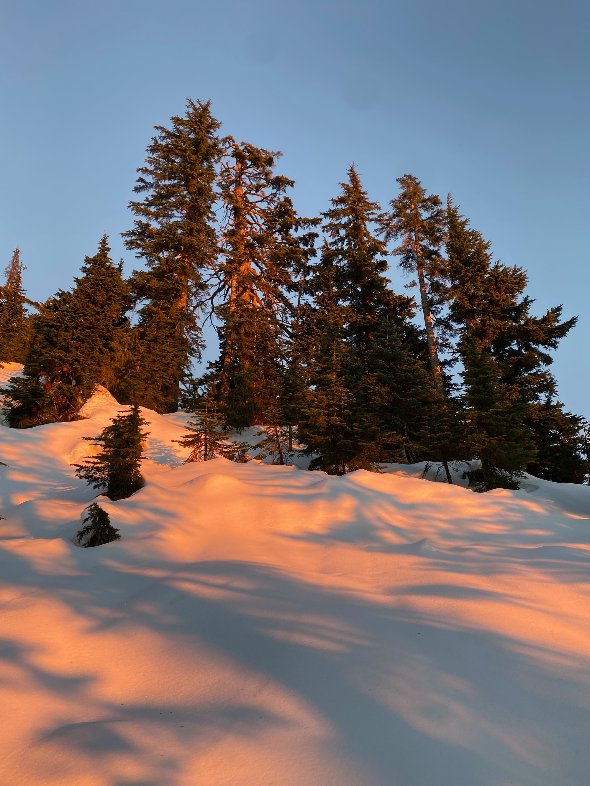
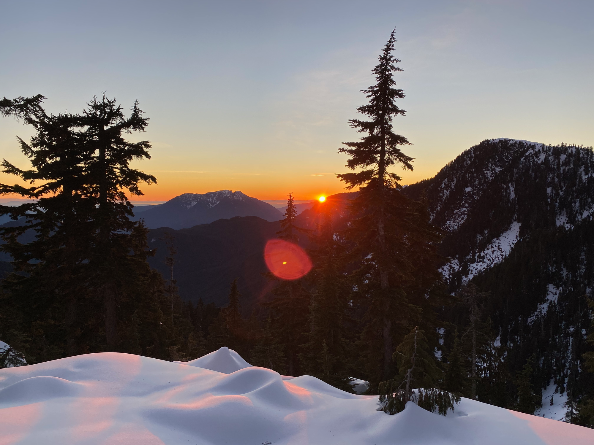
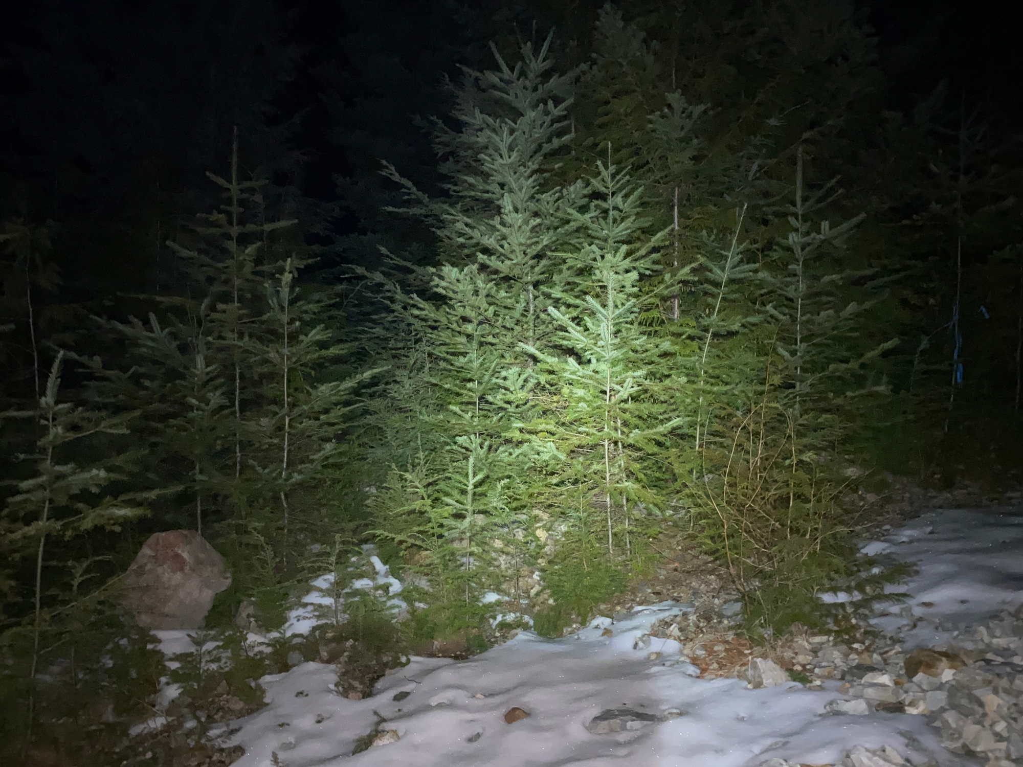
We went down the ridge as the light faded, eventually entering a cutblock. Despite the darkness, we mostly stayed on track, reaching a very overgrown logging road. This road eventually connected to the road we’d left earlier, but it became very difficult to follow for the last 50m or so after crossing a creek. Eventually we reached the other road, jogged back to our bikes, and headed back to the car. This part was mostly smooth sailing, except for a few exciting ice-covered sections. Eventually we made it back to the car and began the long drive home.
This was quite the adventure!


Member discussion