Yak, Nak, and Back
October 14, 2023
Distance: Around 8km
Elevation gain: 800 m
GPS: BestHikesBC Link
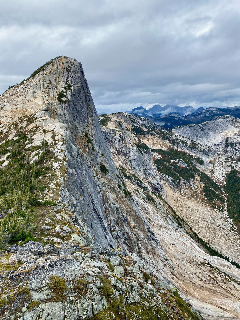
The massive granite wall of Yak Peak’s south face rises dramatically above the Coquihalla Highway. After visiting some nearby peaks, I wanted to explore more, and Yak Peak and its neighbour Nak Peak were next on my list. The most common route involves a walk along the highway, then a steep grind up a climber’s descent trail.
The route starts at the Zopkios Rest Area, a truck stop along the highway. The food truck here provides excellent motivation. The rest area is below Zopkios Ridge, one of many peaks named after obscure ungulates by P. Kubik in 1976. A zopkios, or dzopkyo, is “the progeny of a cattle bull and a Nak (a female Yak), used for packing supplies in Nepal.” (https://apps.gov.bc.ca/pub/bcgnws/names/25955.html)
For the first couple kilometres, the route follows the highway eastward. Watch out for rocks kicked up by trucks. The trail descended north into a swampy area before reaching a memorial for Michael Allen, who died “while descending Yak Mtn” in 2020. Further up the trail, there’s a memorial for Eric Joel Holtz who also died on this mountain in 2020.
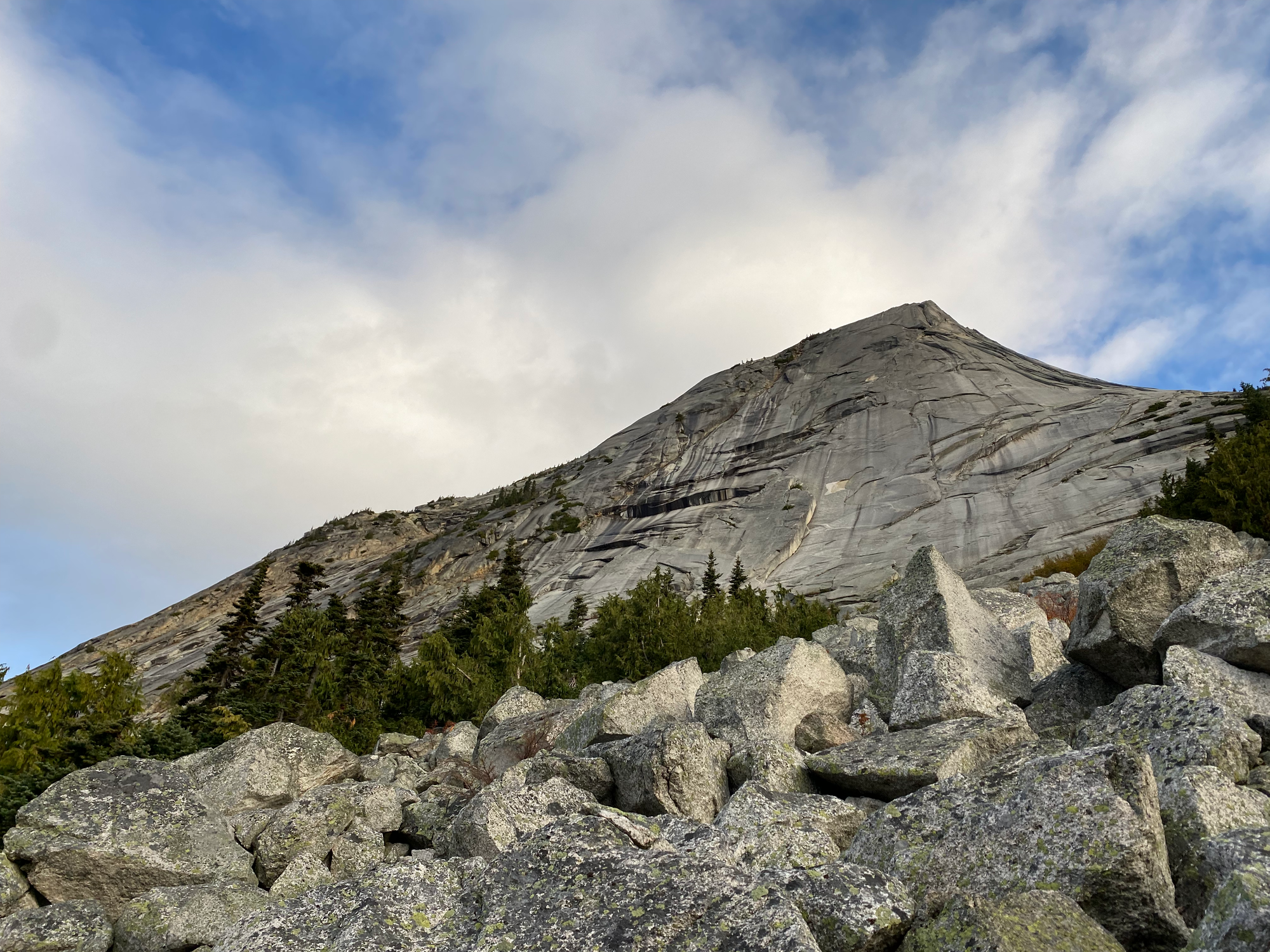
Past the memorial, the grind began as the trail rose several hundred metres in less than two kilometres. After a long stretch in the forest, the trail emerged into a boulder field, offering a good view of the granite wall. Some mild scrambling was needed past this point.
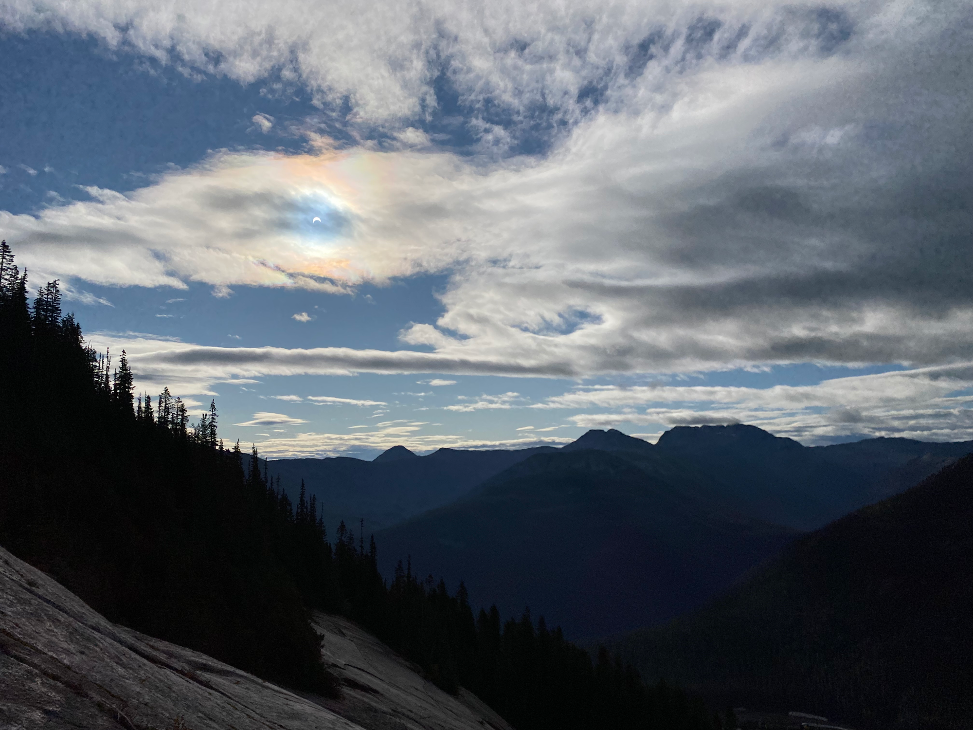
About halfway up, I was treated to a partial solar eclipse. Looking through my phone screen (I had no eclipse glasses), I saw the moon overlap the sun through a cloud. The environment around me felt a little darker and colder. It was interesting, but it didn’t compare to the absolutely mind-blowing experience of a total solar eclipse, which I was lucky enough to see in April 2024.
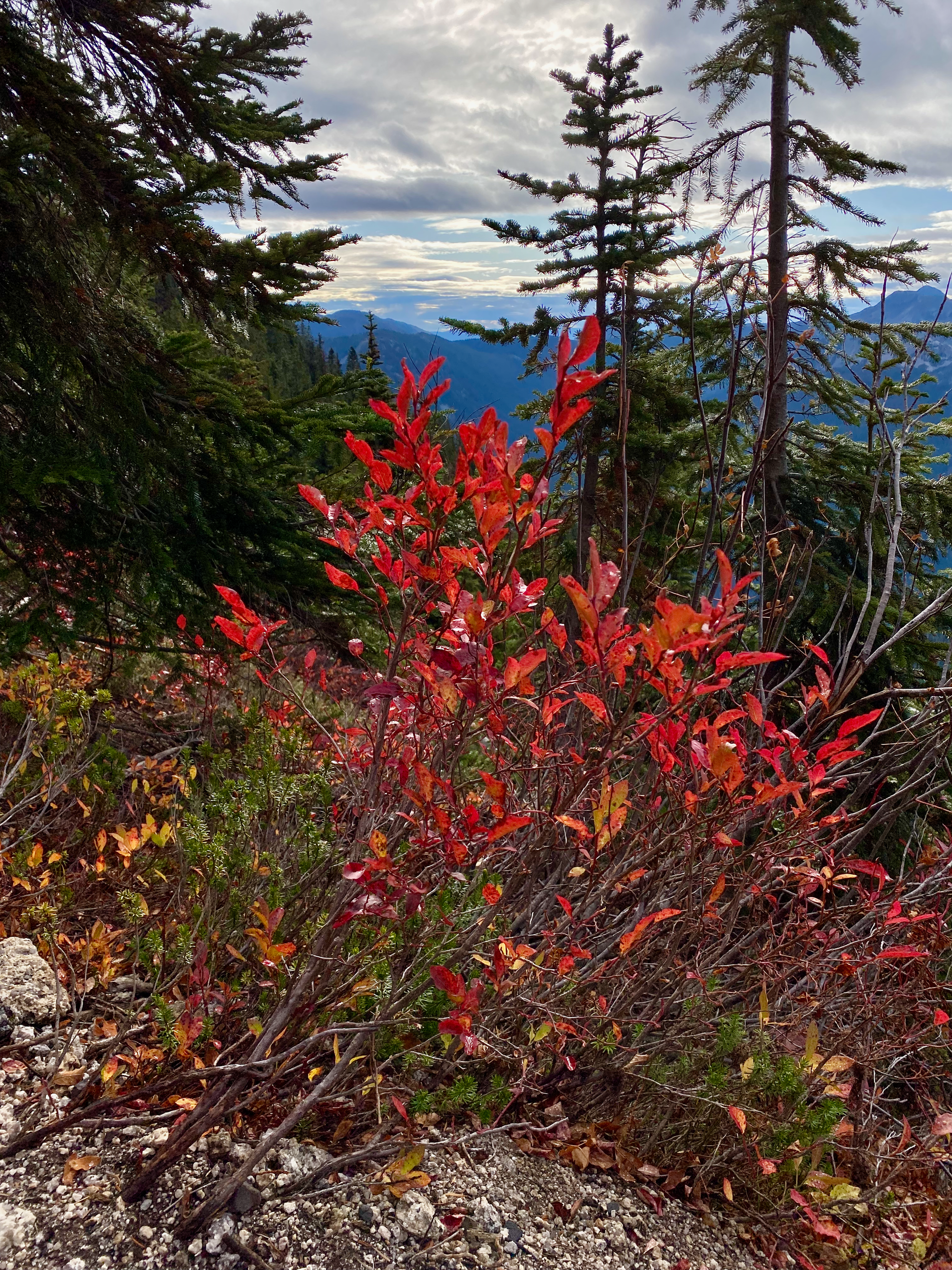
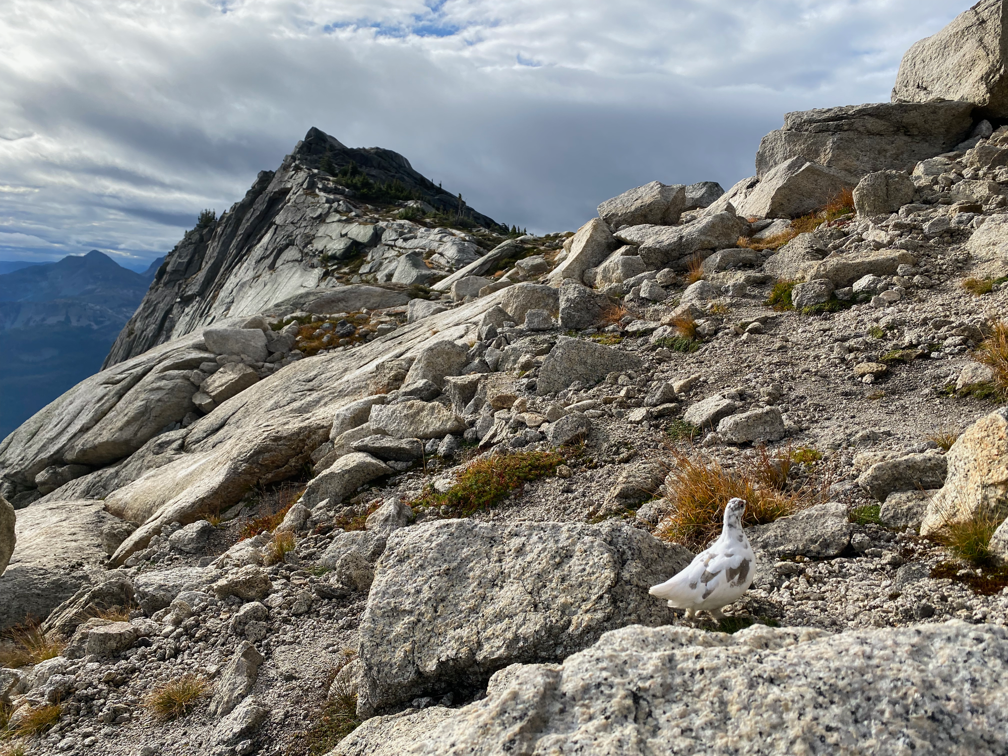
After a while the trail reaches a meadow between Nak Peak and the two summits of Yak Peak. While there I ran into a flock of white grouse.
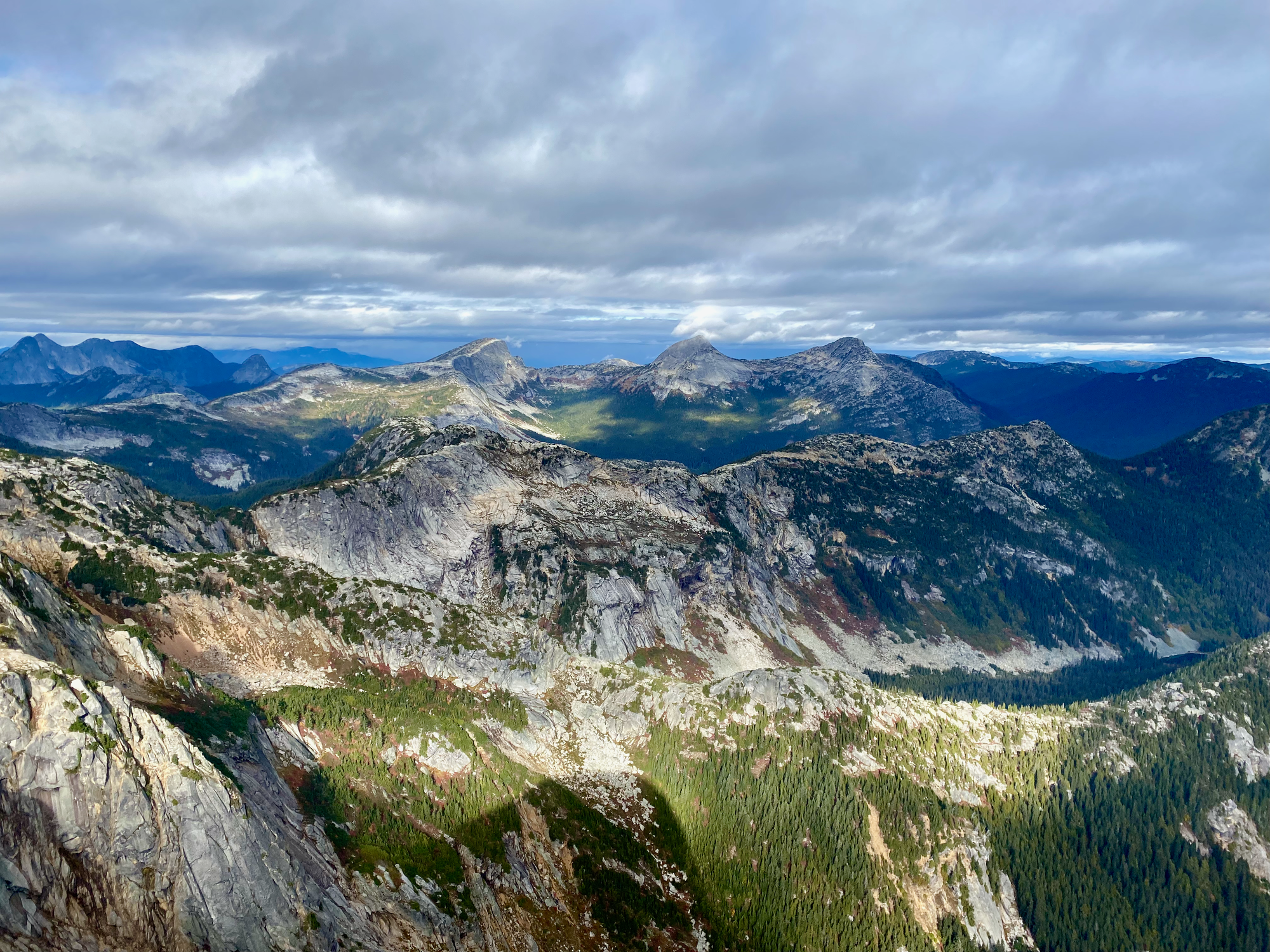
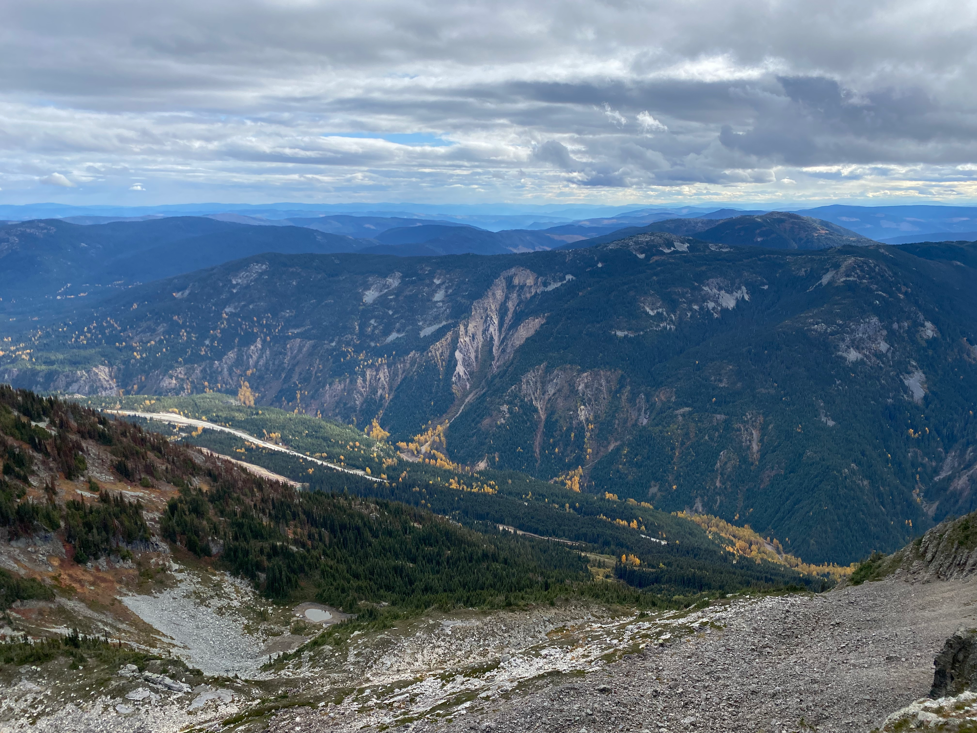
I visited the south summit first, taking a class ⅔ route instead of the normal trail. From there the north (higher) summit was a couple hundred metres walk away. Both summits, especially the north one, had excellent views of the valley and the crazy granite horns this area is known for, such as the Anderson River Group.
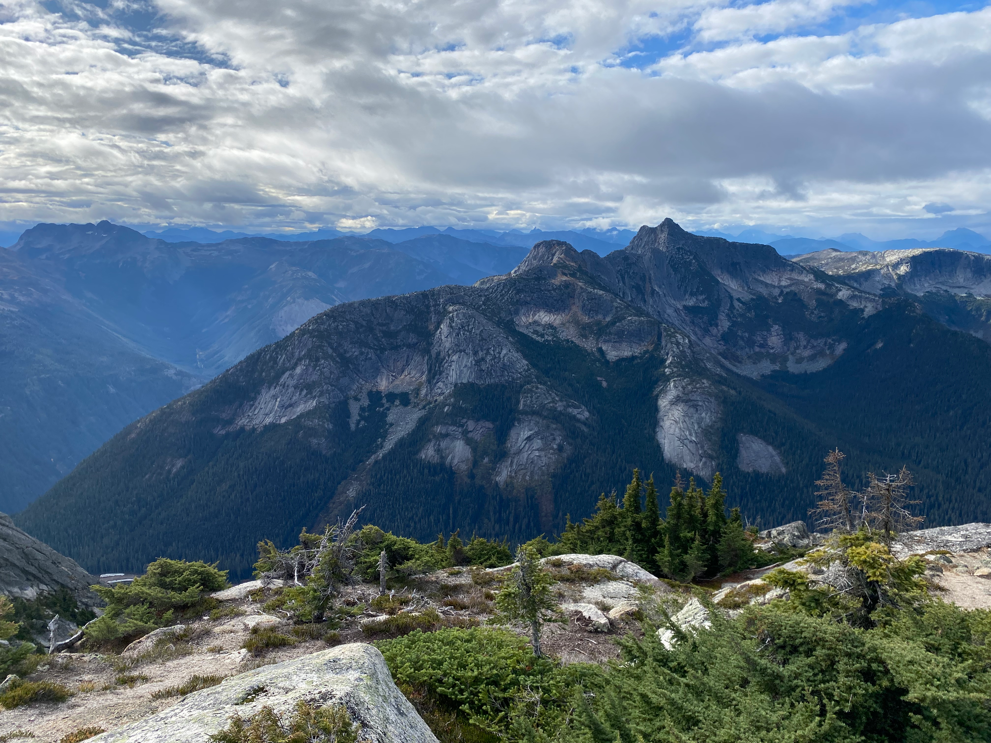
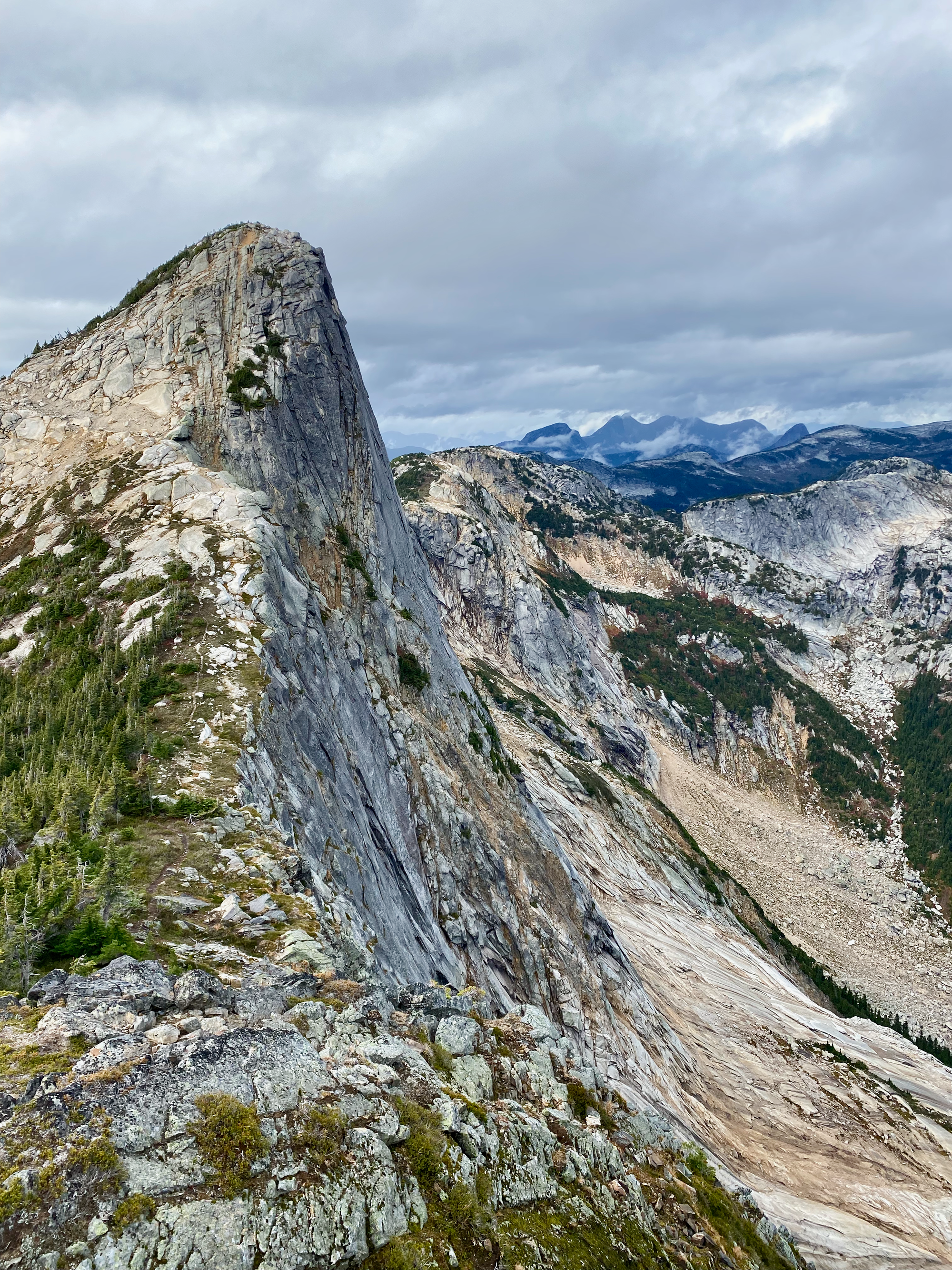
After that I followed the trail to Nak Peak. The route ascends and descends a small bump, passing close to the cliff at one point, before ascending the west face of Nak. Looking back, I had a great view of the sheer North Face of Yak Peak. The summit also offers good views.
Some people continue to Thar Peak, to the northeast, but this route involves some technical scrambling and bushwhacking and the food truck at the parking lot was calling, so Nak was enough. I returned to the main Yak trail and drove west for almost three hours to get home.
Overall, Alpaca Peak remains my favourite hike in the Coquihalla Summit area because it offers closer views of most of the more spectacular peaks, but Yak and Nak are also very much worth the long drive from Vancouver.


Member discussion