Whiteface and Esther Mountains
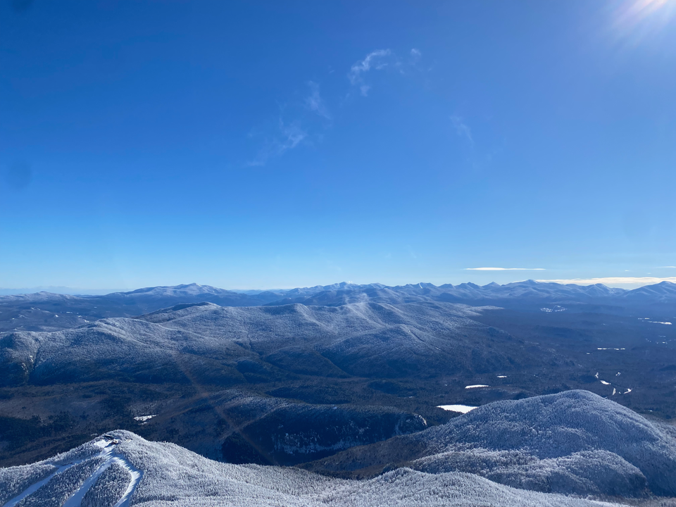
February 4, 2024
Distance: 15.3 km (From Alltrails)
Elevation gain: 1123 m (From Alltrails)
GPS: Alltrails Link
On February 4, 2024 we set out to conquer two of the Adirondack High Peaks. The day started bright and early at 6AM as Finn and I raced to Longueuil to find the last Communauto within walking distance of public transport. Once that was secured, we drove south. The border crossing was uneventful and we reached the trailhead, at a weather research station, around 9AM.
The trail did not hold back as we climbed almost 300 vertical metres in one kilometre, following the route of an old ski run. We huffed and puffed up the slope, interrupted by some snowshoers sledding down on garbage bags. We soon reached a viewpoint at Marble Mountain. Past there, the trail meandered along until we came to the turnoff for Esther Mountain.
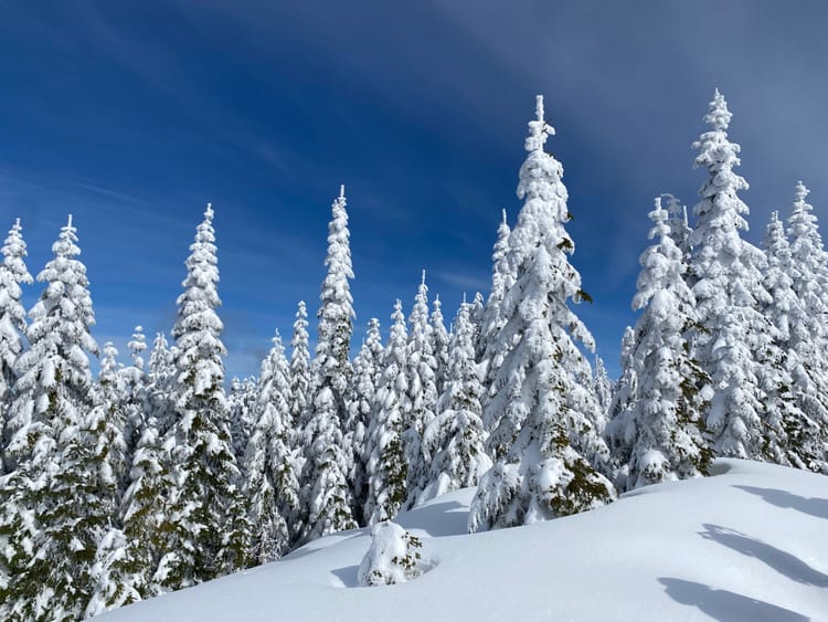
We decided to visit Esther first. The trail passes over Lookout Mountain then winds up the ridge towards Esther. At this elevation, the stunted trees were encased in snow, looking like something out of a Dr. Seuss book. As the sun melted the snow, chunks of ice would fall off the trees and onto our necks.
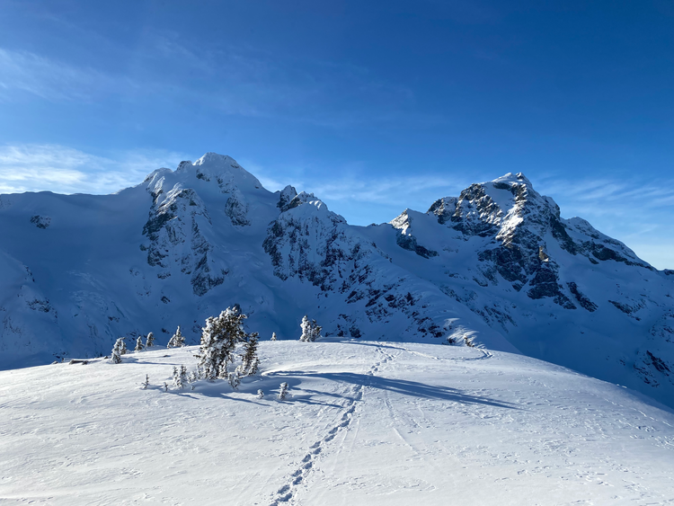
At a nondescript spot in the forest, the trail ended, and we spent some time trying to find it again. It turned out that we were actually on the summit of Esther Mountain. There were no views from the tree-covered summit but an area about 200m back along the trail was clear enough to see Whiteface, so we had lunch there.
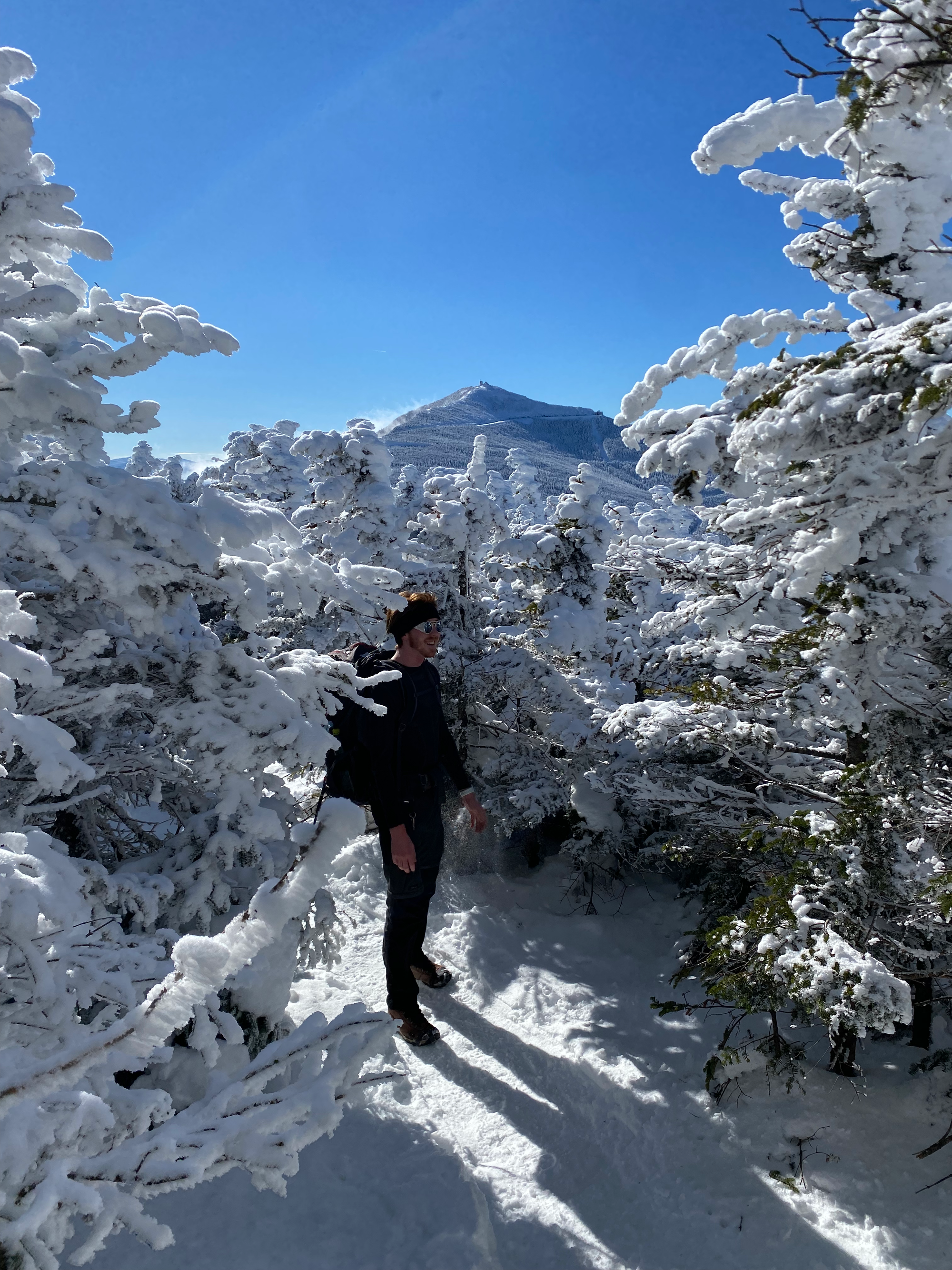
Then onward to Whiteface! We rejoined the main trail and emerged from the forest at the top of a chairlift. The charlift wasn’t running and the sun gave it an abandoned feeling.
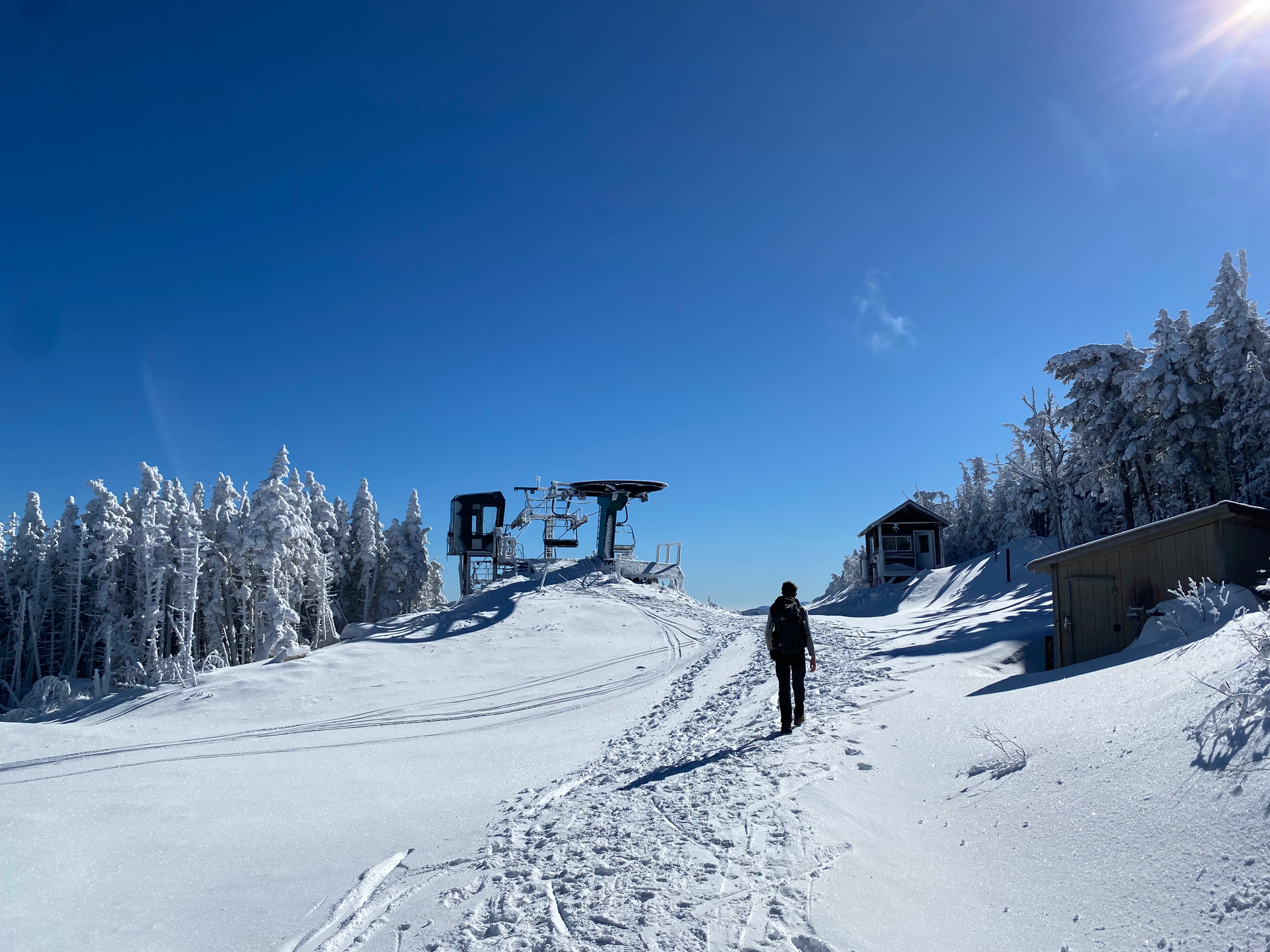
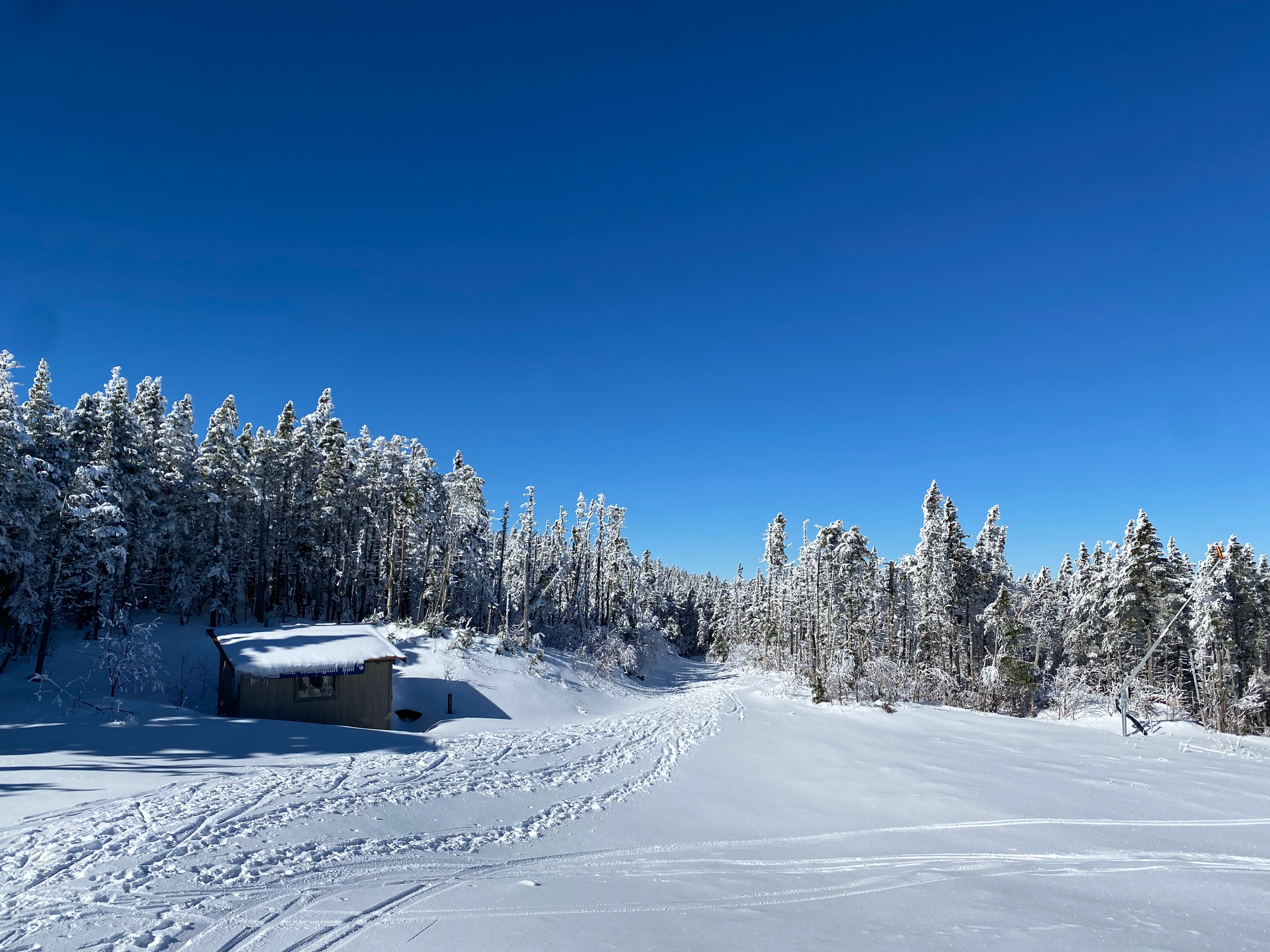
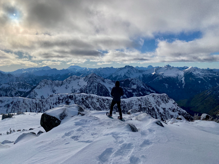
The trail went back into the forest, then broke above the treeline and followed a road. As usual for these mountains, the wind was fierce and we struggled to stay warm in the arctic conditions.
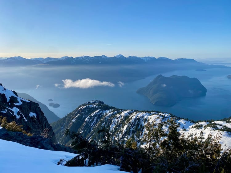
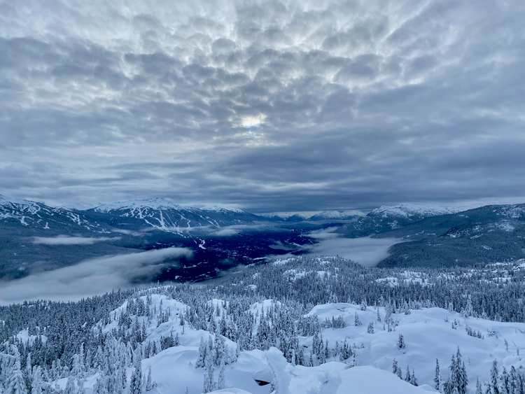
It was a bluebird day and once on the summit, we were treated to 360 degree views of much of New York and Vermont. We could even see the south shore in the distance. Finn was doing some weight training and brought a stove and some instant noodles for lunch; somehow we got the stove working in the wind.
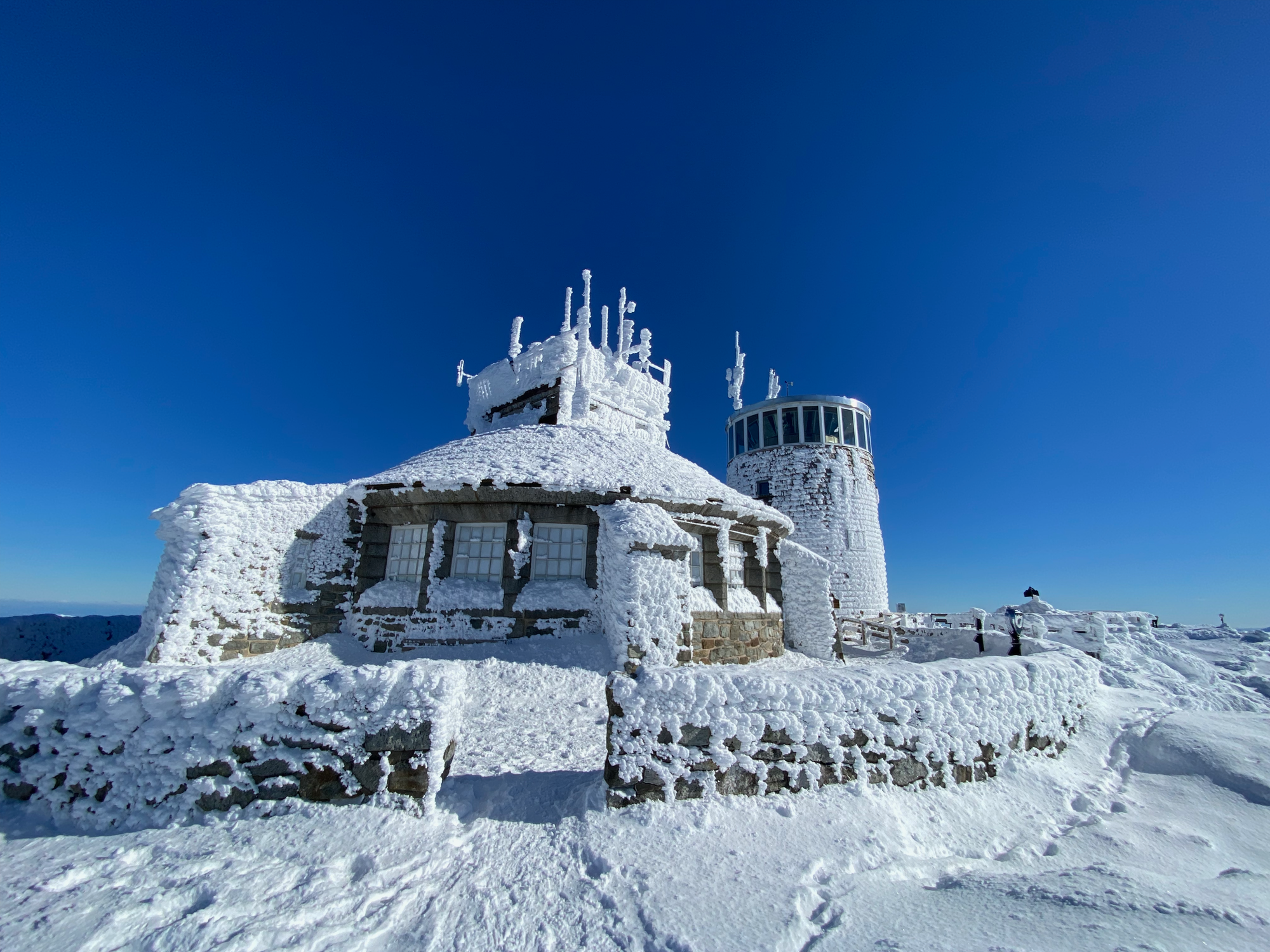
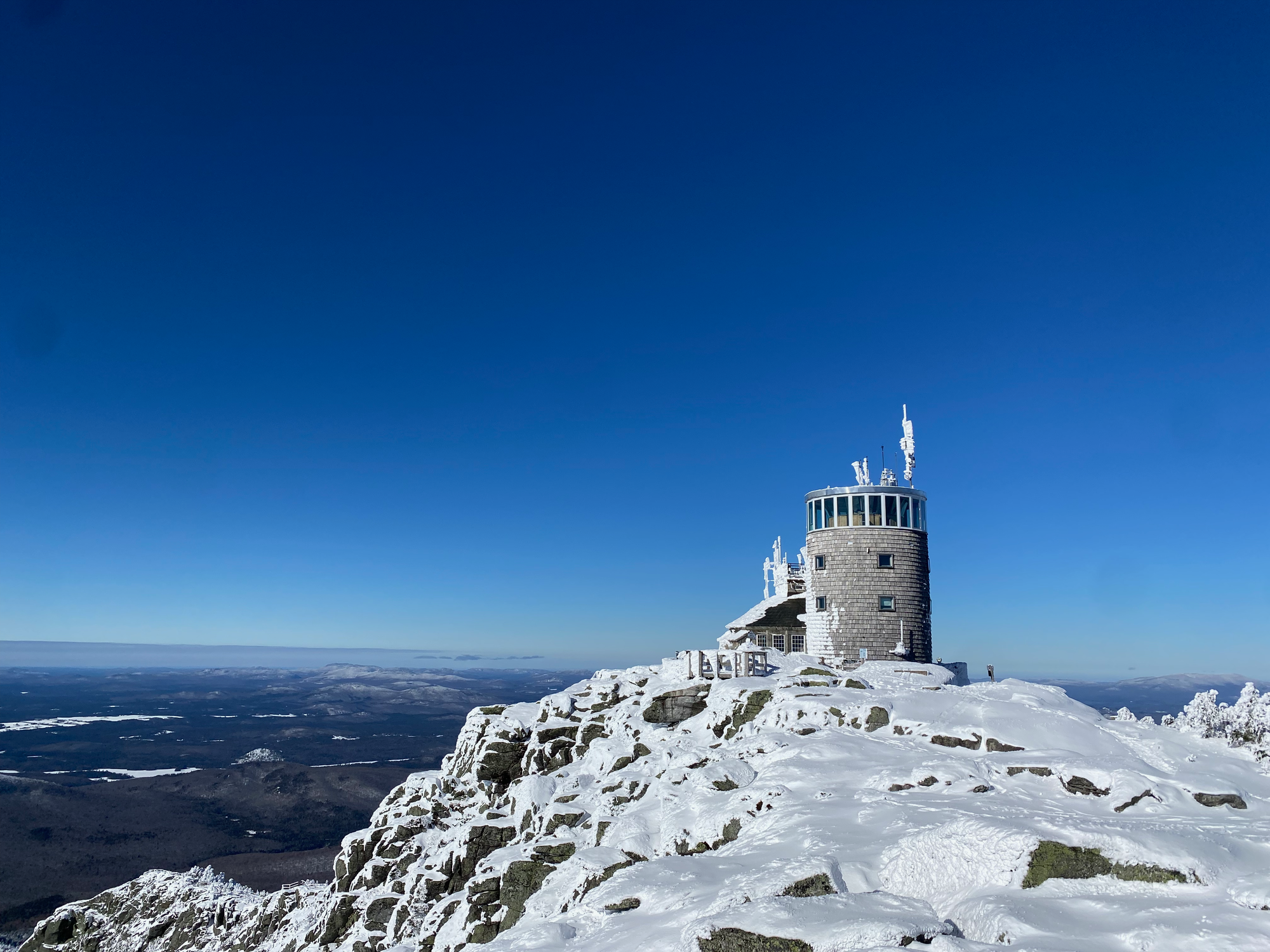
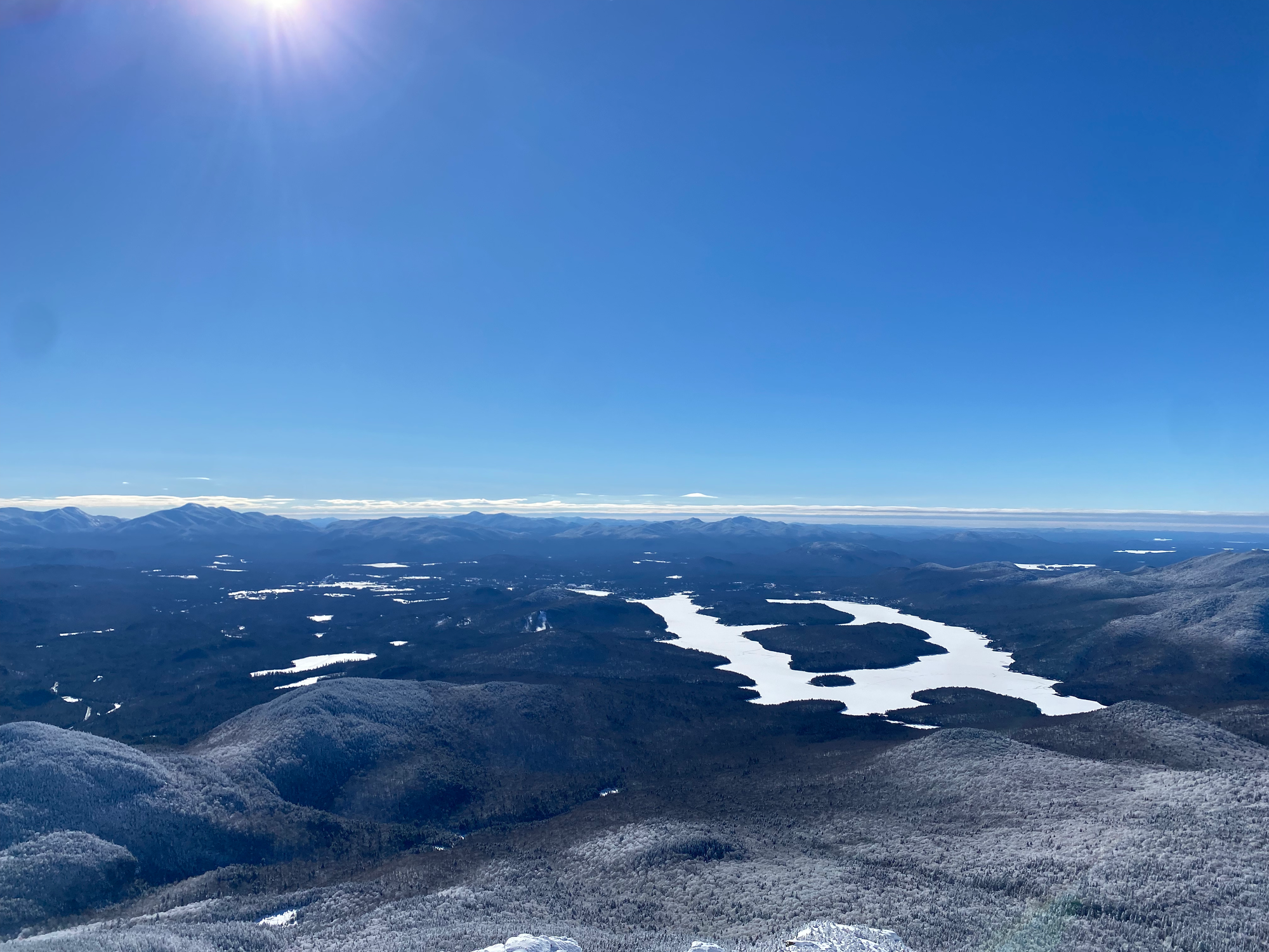
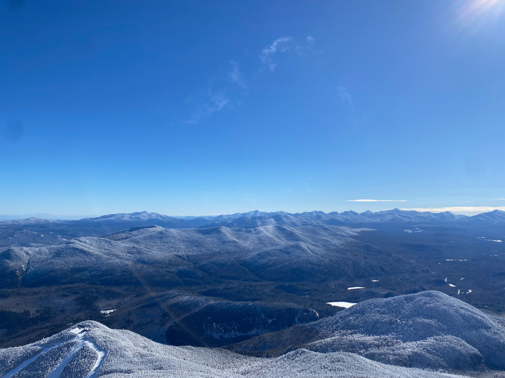
After about 30 minutes on the summit we decided to head down before anyone froze. We quickly made it below treeline and walked/jogged down. Below Marble Mountain, we tried to sled down the trail, but there was a bit too much friction to make that happen. Looking back, it would have been fun to bring a garbage bag for a much faster descent. After a few stumbles we made it to the car.
We drove north. The plan was to get a post-hike meal at the Chick-fil-A in Plattsburgh, but we completely forgot that it’s closed on Sundays. Oh well. Other than that it was an uneventful drive back to Longueuil and an easy metro ride home.
Member discussion