Wesel and Clarion Peaks
Date: May 17, 2024
Distance: 16.59km
Elevation gain: 947m
Wesel and Clarion Peaks are two rarely visited peaks deep in the Squamish backcountry, accessed from the very end of the Mamquam FSR. There’s very little information about them online, except for Simon Chesterton’s trip report from 2014.
My original plan involved another rarely ascended mountain on the Stawamus-Indian River FSR which runs from the Mamquam to the end of Indian Arm. This road is currently the site of a massive construction project and two gates have been set up at 3km and 9.5km. There’s a lot of conflicting information about whether the road is open or not. The BC government's road conditions page for the area said that the road “may be open Sundays and overnight” from May 9 to September 2 so I decided to risk it and hopefully get some more information about opening times.
The FSR has more signs than I’ve ever seen on any logging road. It was in excellent shape and the gate at 3km was open. Near the second gate (9.5km), I pulled over to let a work truck pass. The driver let me know that this gate was closed and guarded, would remain as such for the next 3 to 4 years, and no one was allowed in. I mentioned the BC government website but he hadn't heard of any plans to leave the road open. He also gave me a card with a number I could call to apply for a permit, but he wasn’t sure how to qualify and hadn’t heard of anyone getting one. To confirm, I went to the gate and talked to the guard, who told me pretty much the same thing, except he thought it would only be closed for 6 months. Both of them were polite about it, but they made it clear that no hiker will be allowed past that gate for a long time.

With that settled, I changed plans, and drove to the end of the Mamquam FSR to approach Wesel and Clarion Peaks. It was raining heavily and fog gave the road a very spooky feeling. I finally arrived at the correct spur at around the 29km mark (see gps) around 11:30pm, and car camped.
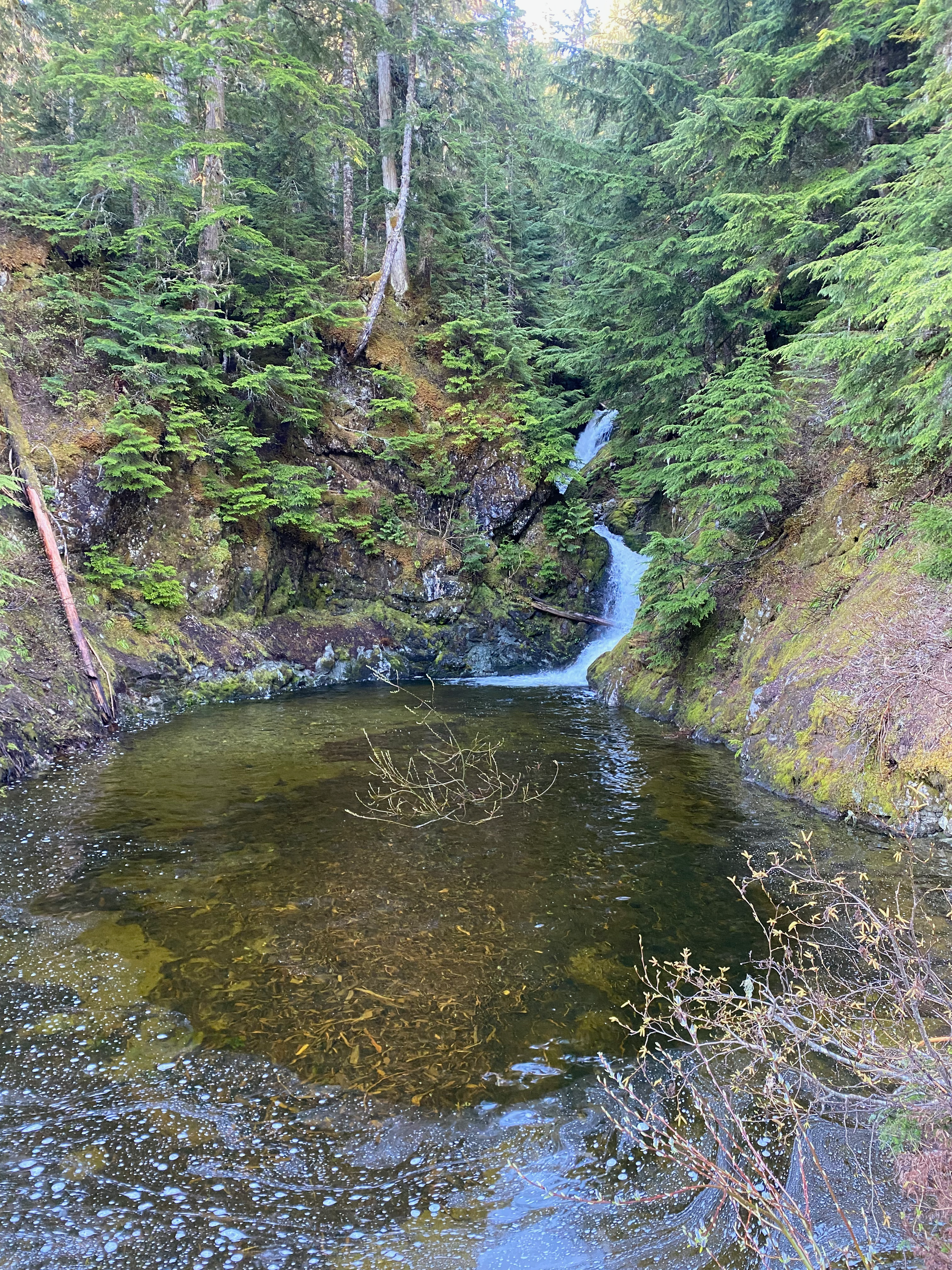
The next morning I woke up to two elk staring at me. After a quick breakfast I drove about 500m up the spur before being stopped at a deep washout. The logging road was nice to walk for the next little while, except for a couple more washouts. At about 1.5km there is a pleasant waterfall and pool.
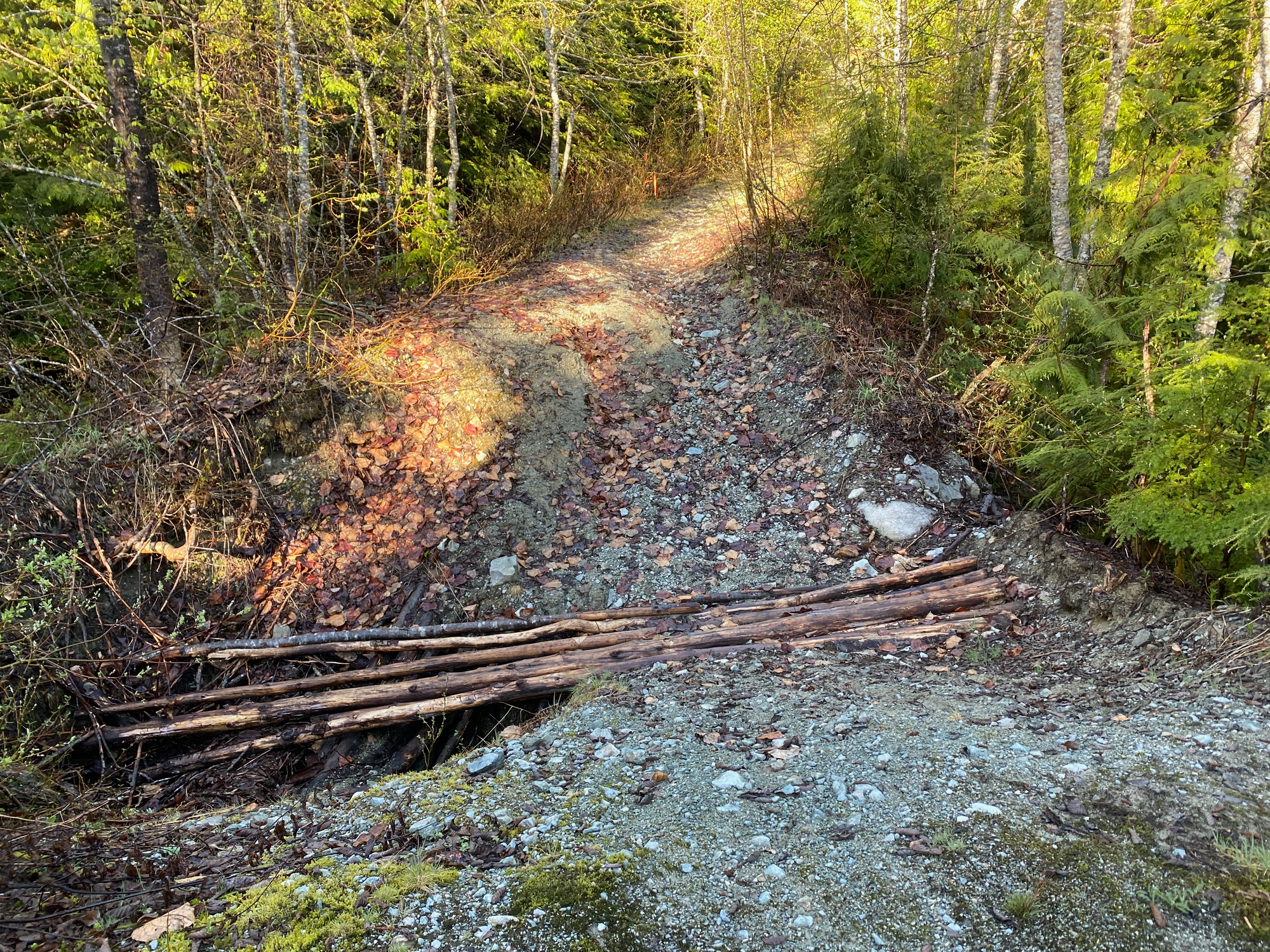
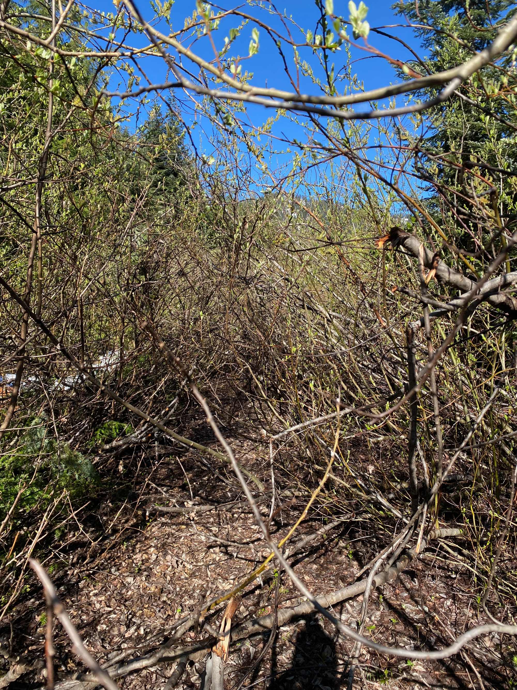
Past the waterfall, the road alternates (aldernates?) between short walkable sections and annoying stretches of alders. There are lots of spurs and I made my way to the end of what must have been the main road, at the base of a cut block.
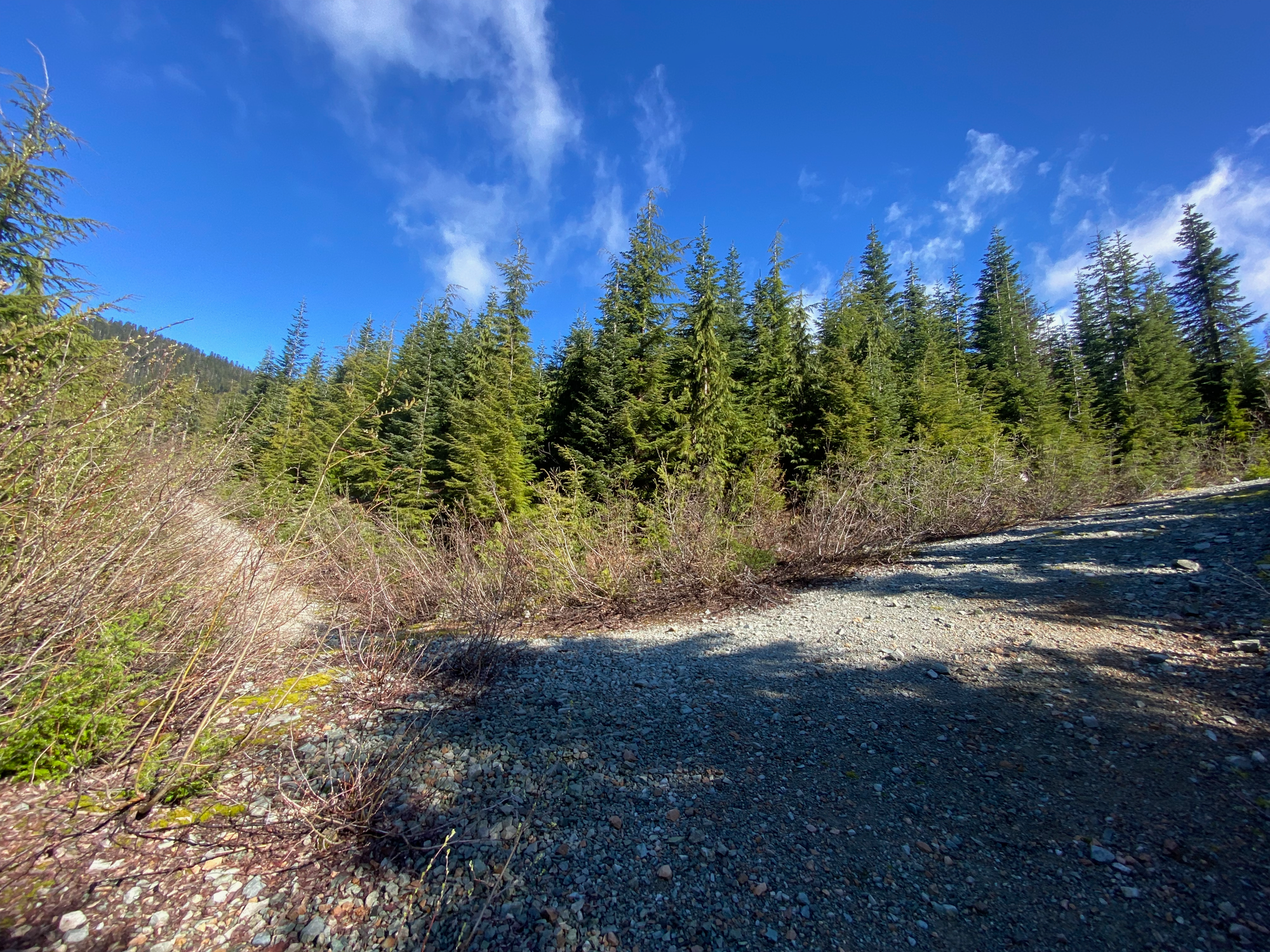
From there a faint prospector’s trail with occasional flagging headed uphill. I soon left this trail to walk on snow, and the snowshoes came on. The ascent got steeper and I sidehilled just below the ridge to bypass a cliff band. An ice axe was helpful here. Eventually I made it to the col between Wesel and a smaller peak.
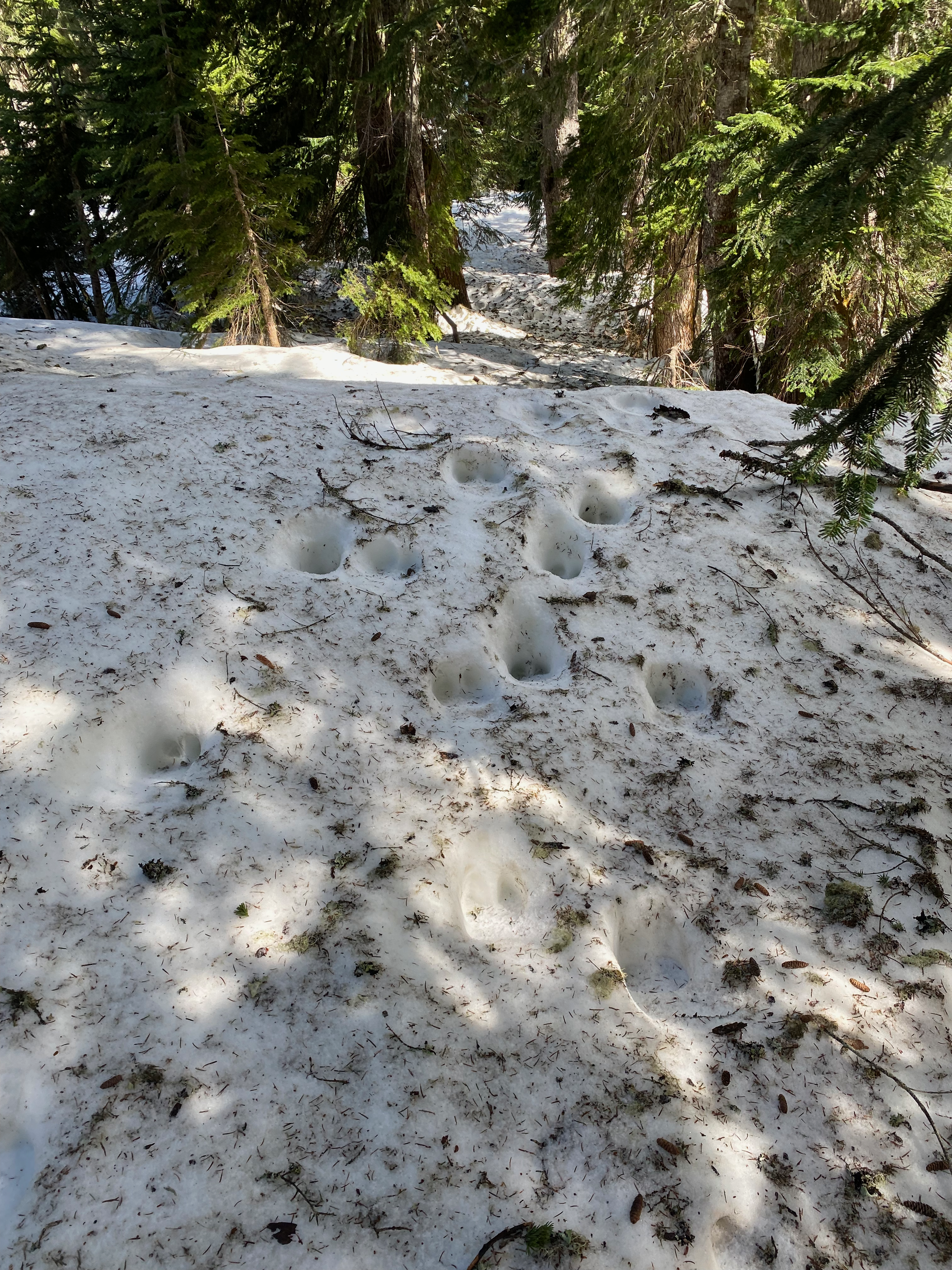

Wesel was a straightforward ridge walk from there. The summit is a wide plateau and nice views could be had by walking around the treed high point.
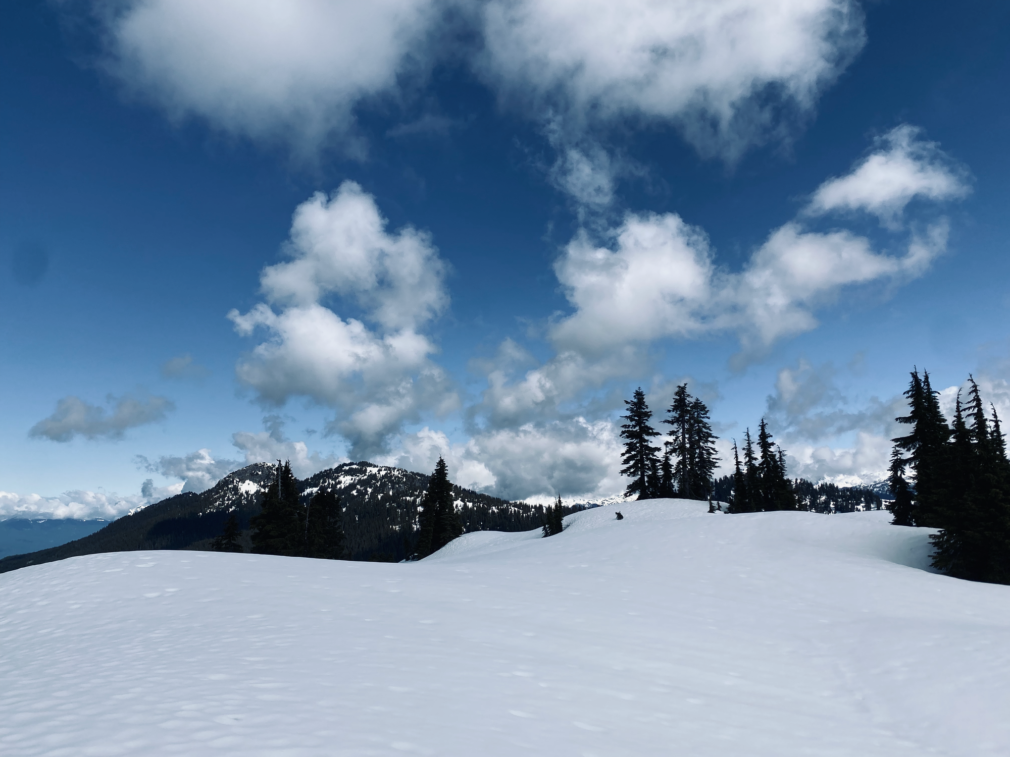
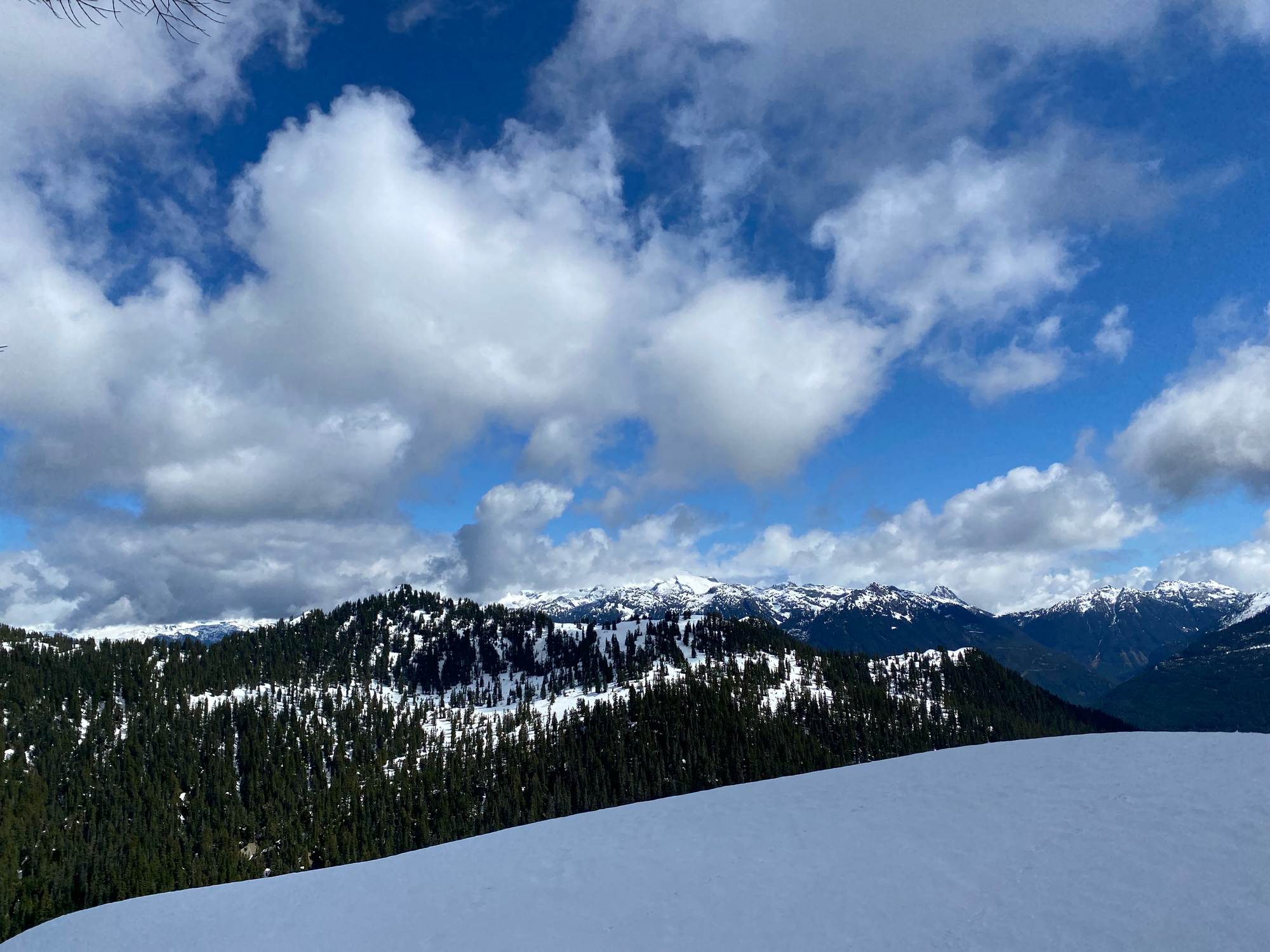
After admiring the views I went south, back along the ridge. I hiked over a small unnamed summit between Wesel and Clarion. I tried to combine the names Wesel and Clarion and came up with the name “Wario Peak”. The ridge seems to be something of an elk superhighway and their tracks were everywhere.
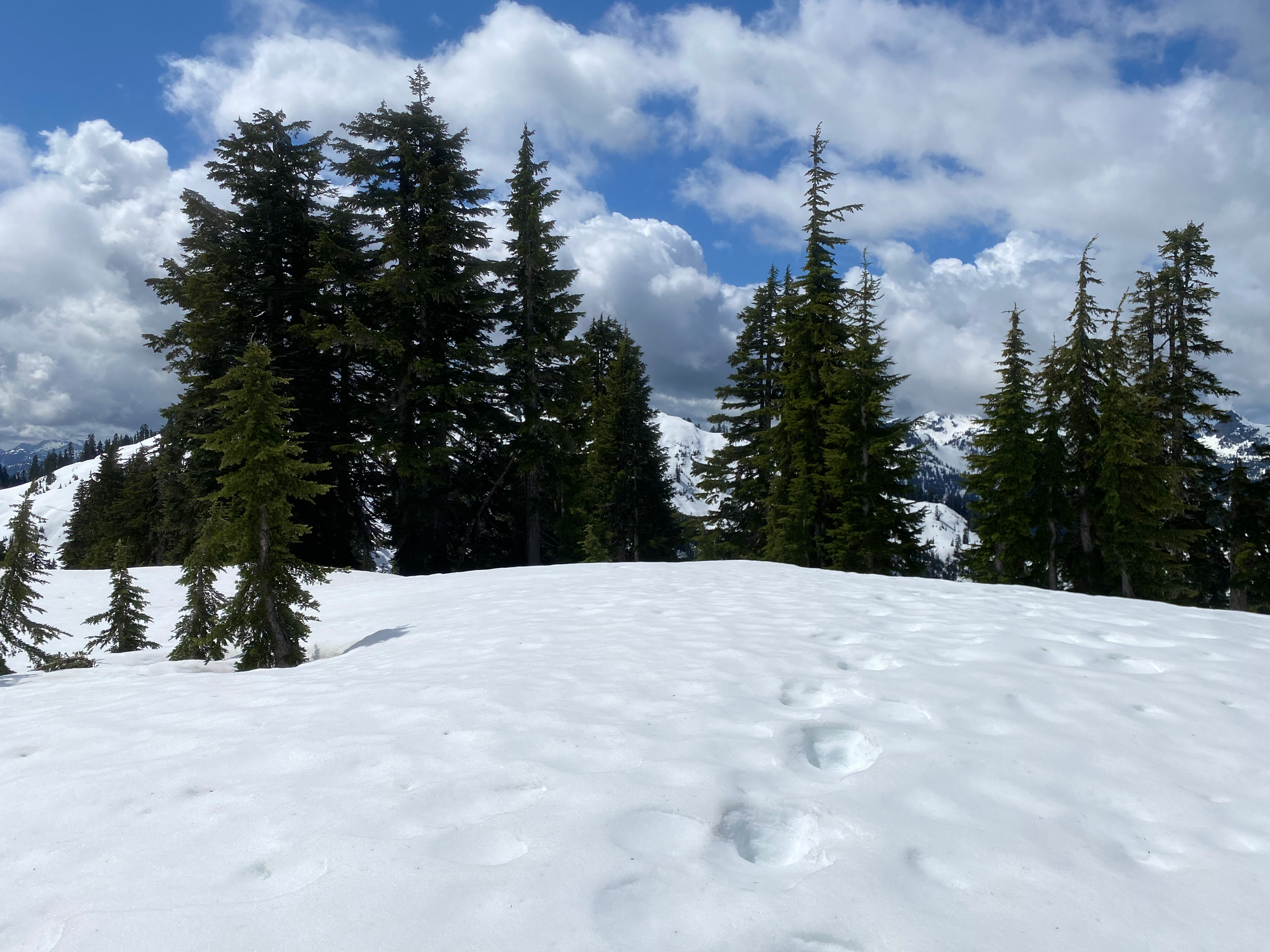
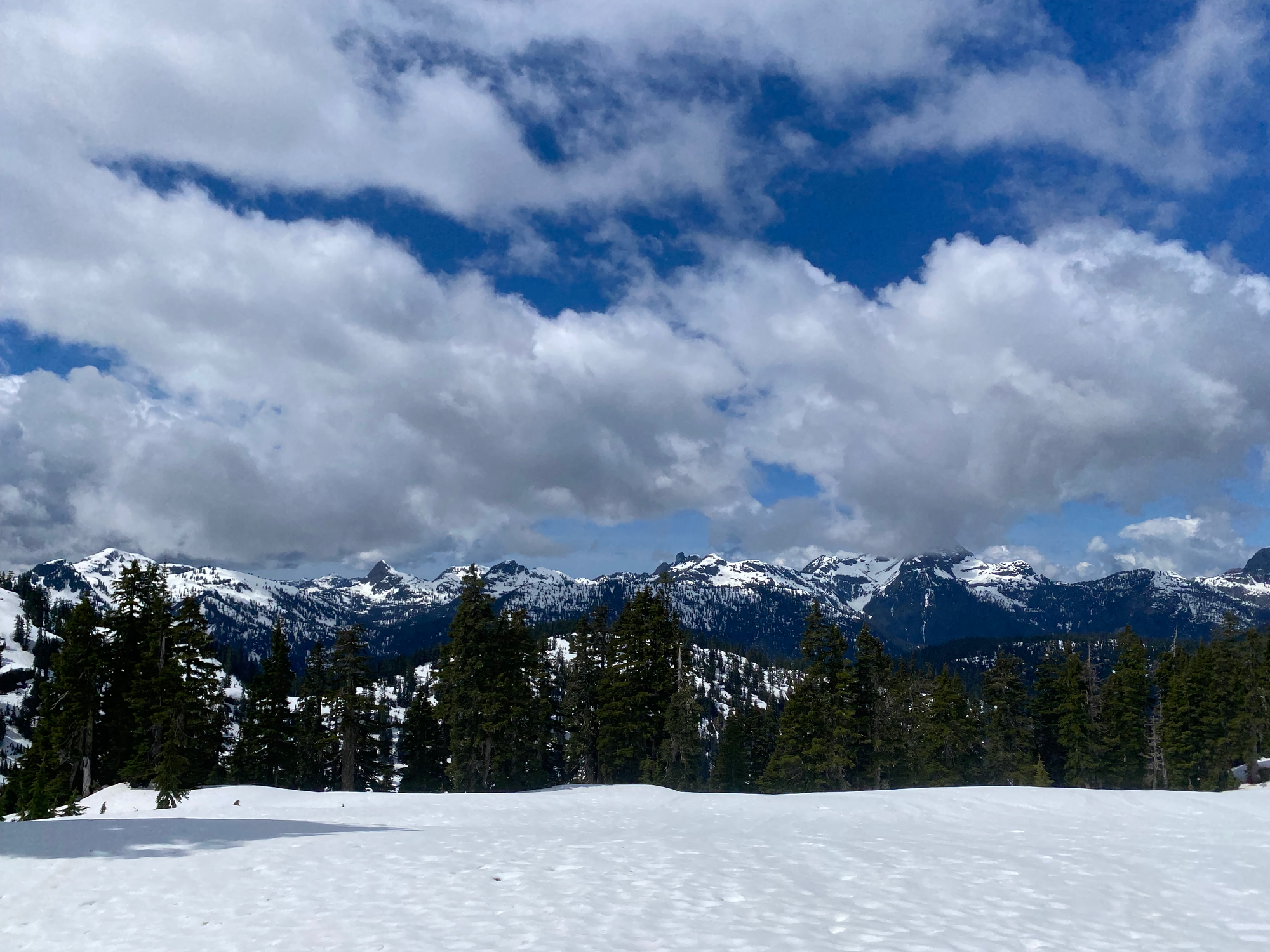
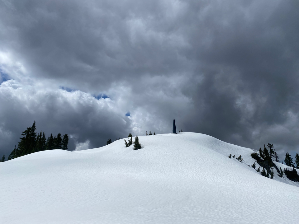
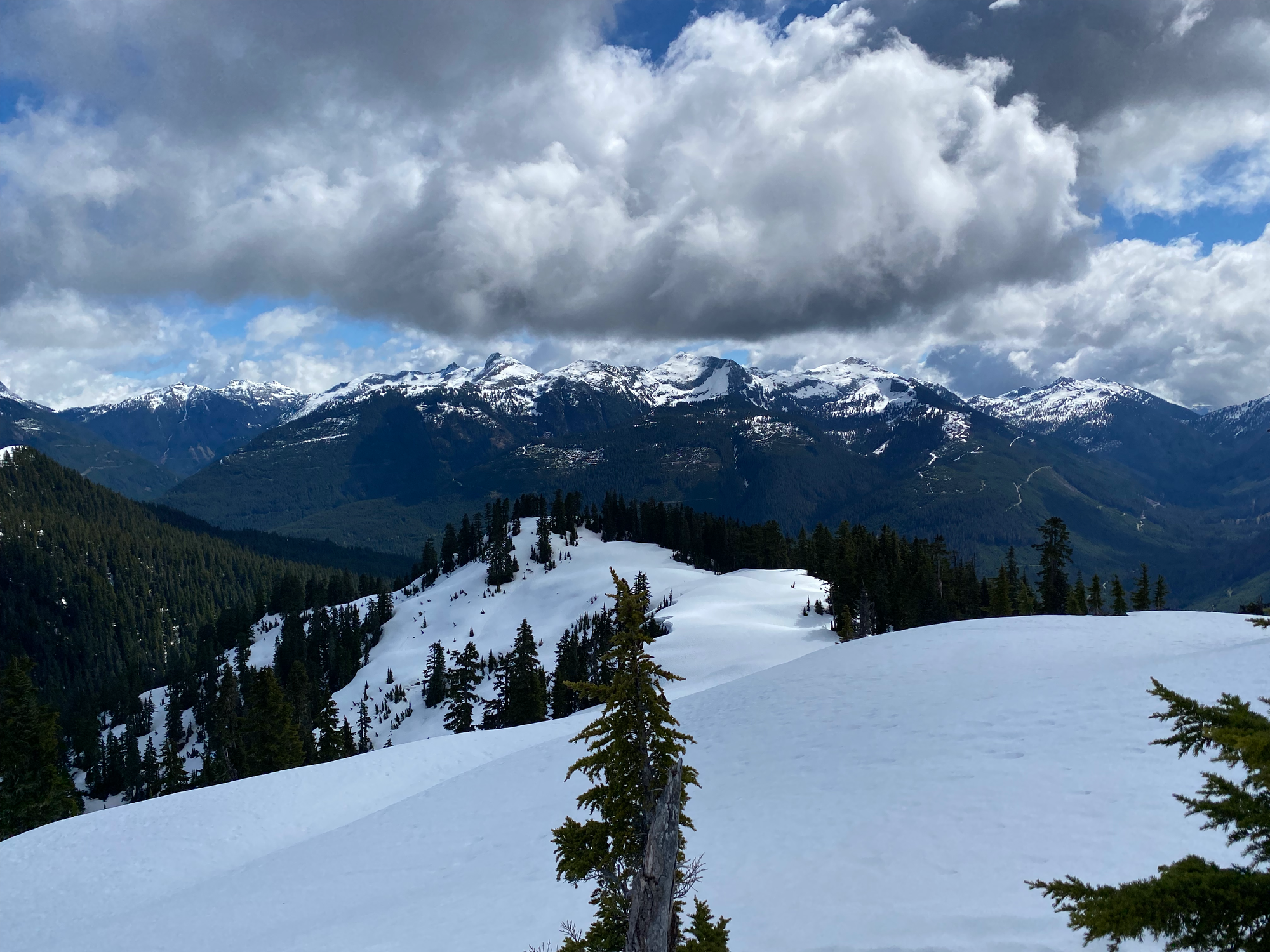
Clarion has four summits, with the second being the tallest. I traversed below the fist one and ascended an easy incline to the second, which has a radio repeater tower. This peak had the best views of the day, with Alpen, Wesel, Mamquam, the Pinecone Lake peaks, and more visible. It has front row seats to Meslilloet and provides an interesting angle on the North Shore Mountains, especially the very obscure ones in the northern Fannin Range (Jukes, Bagpipe, etc.) In the distance I could see the waters of Indian Arm.
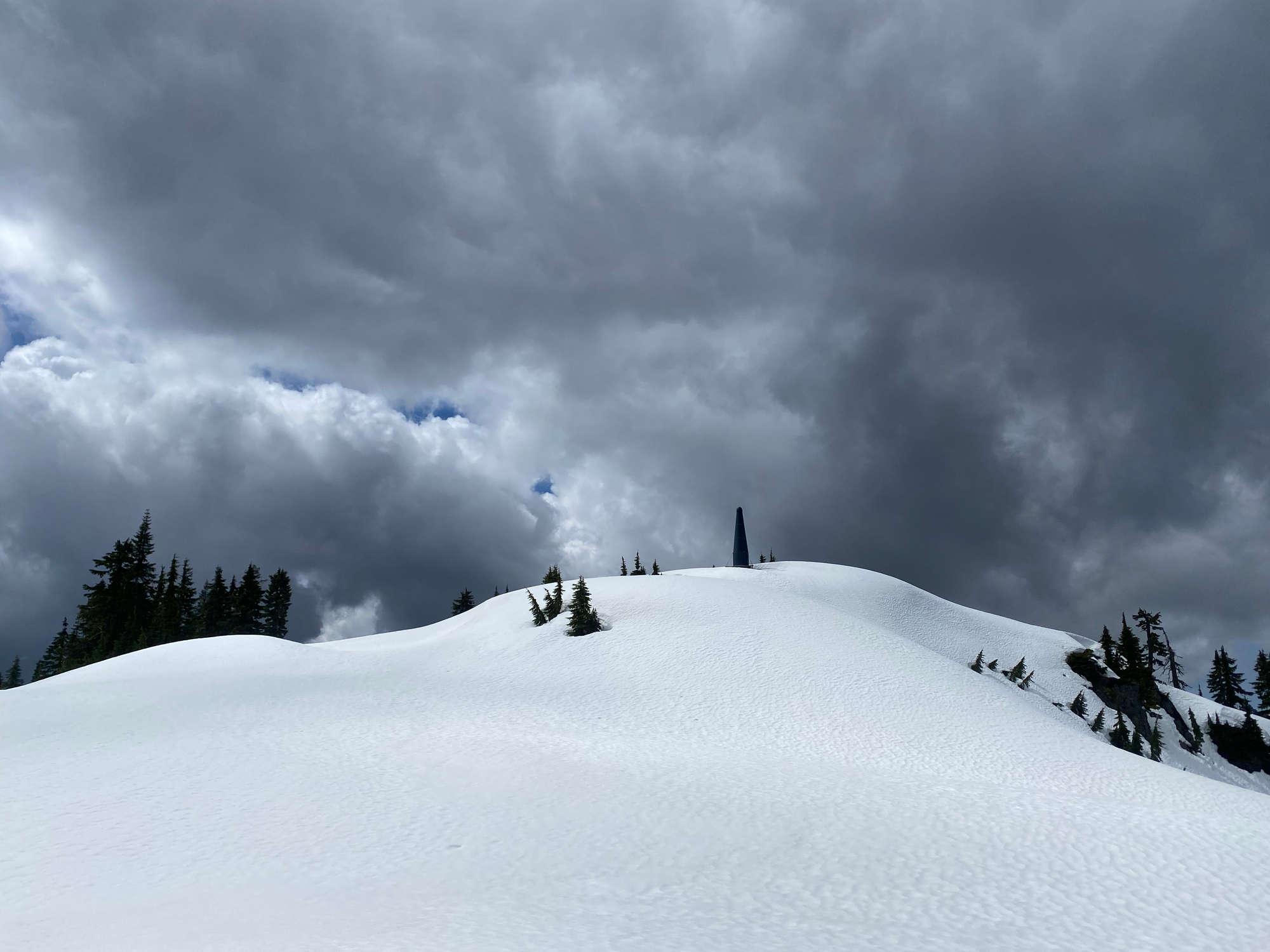
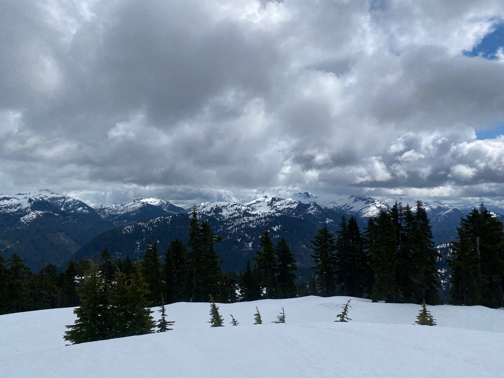
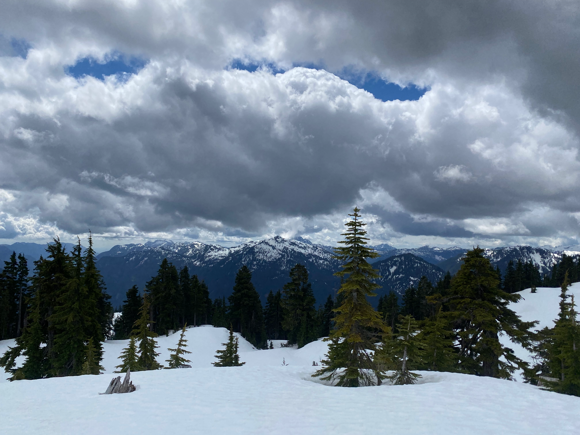
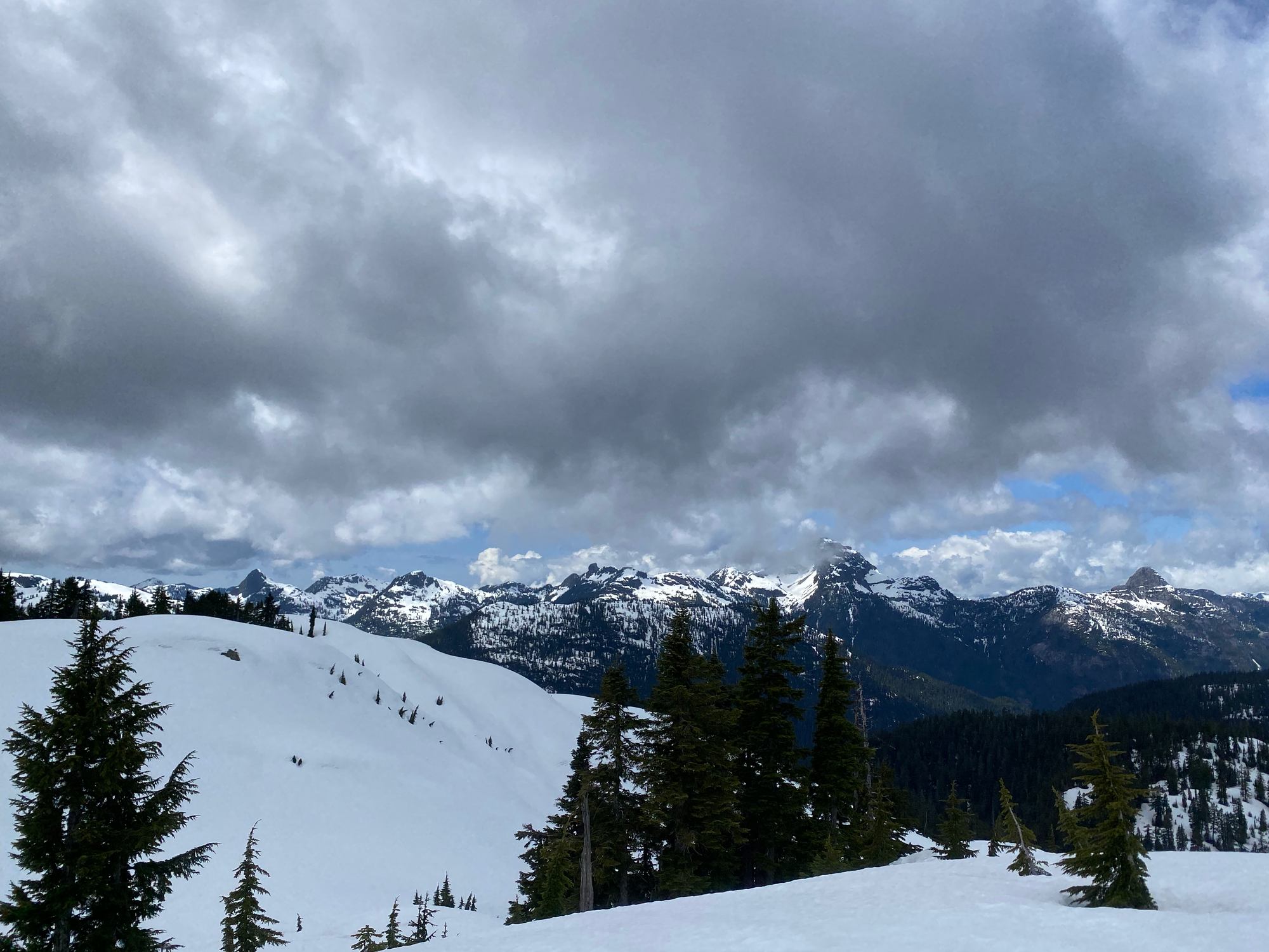
I descended to the east. As noted by Simon Chesterton, the topography funnels you to the south so I had to do a bit of sidehilling to stay on track. After reaching a plateau I put crampons on and prepared to navigate down the cliff band.
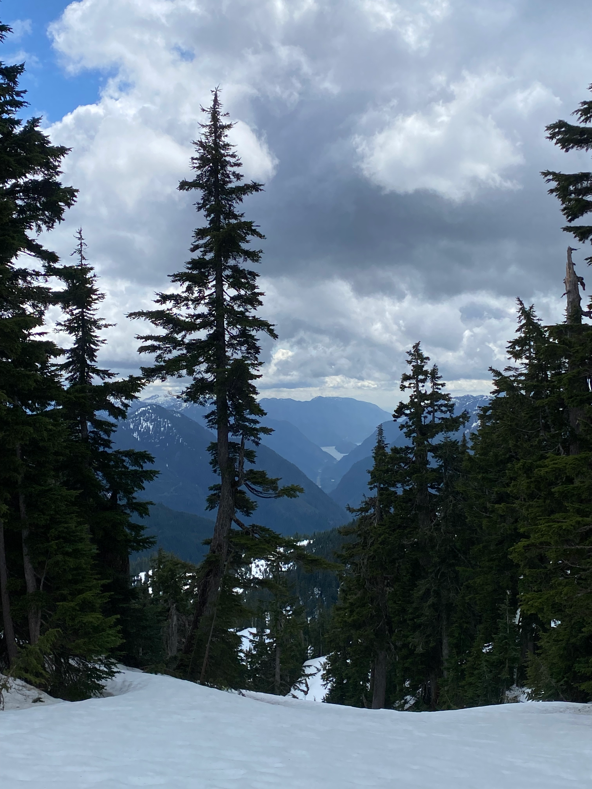
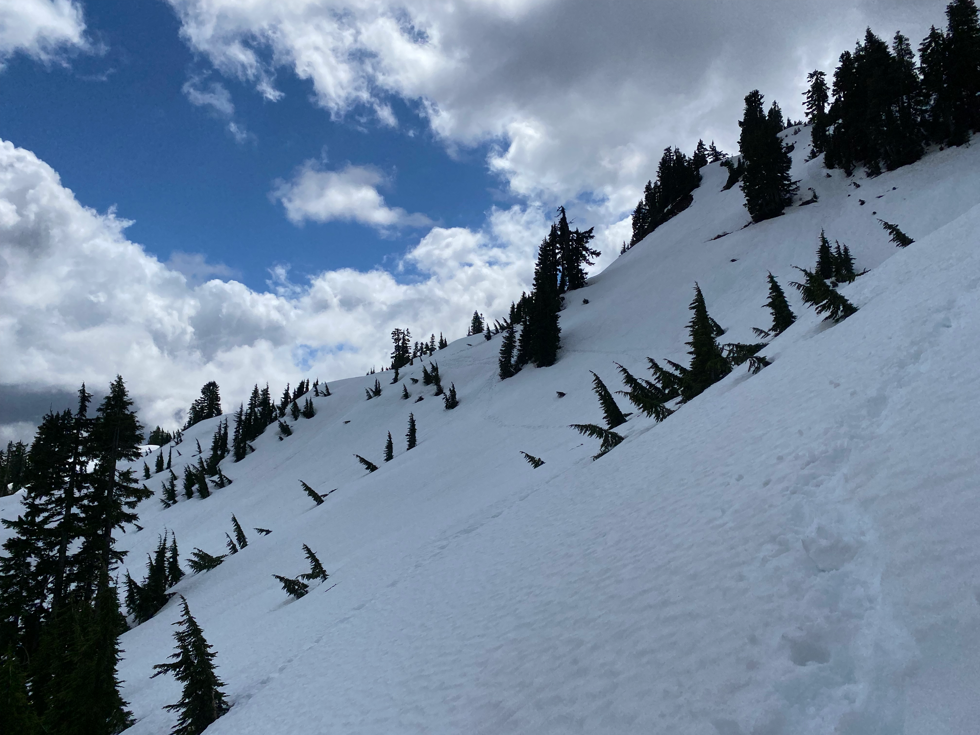
I noticed that lots of elk tracks were converging on the same place. I followed these tracks, which sidehilled to a creek then descended the cliff band along a relatively gentle route, reaching a waterfall. Thanks, elk! Top tier routefinding right there.
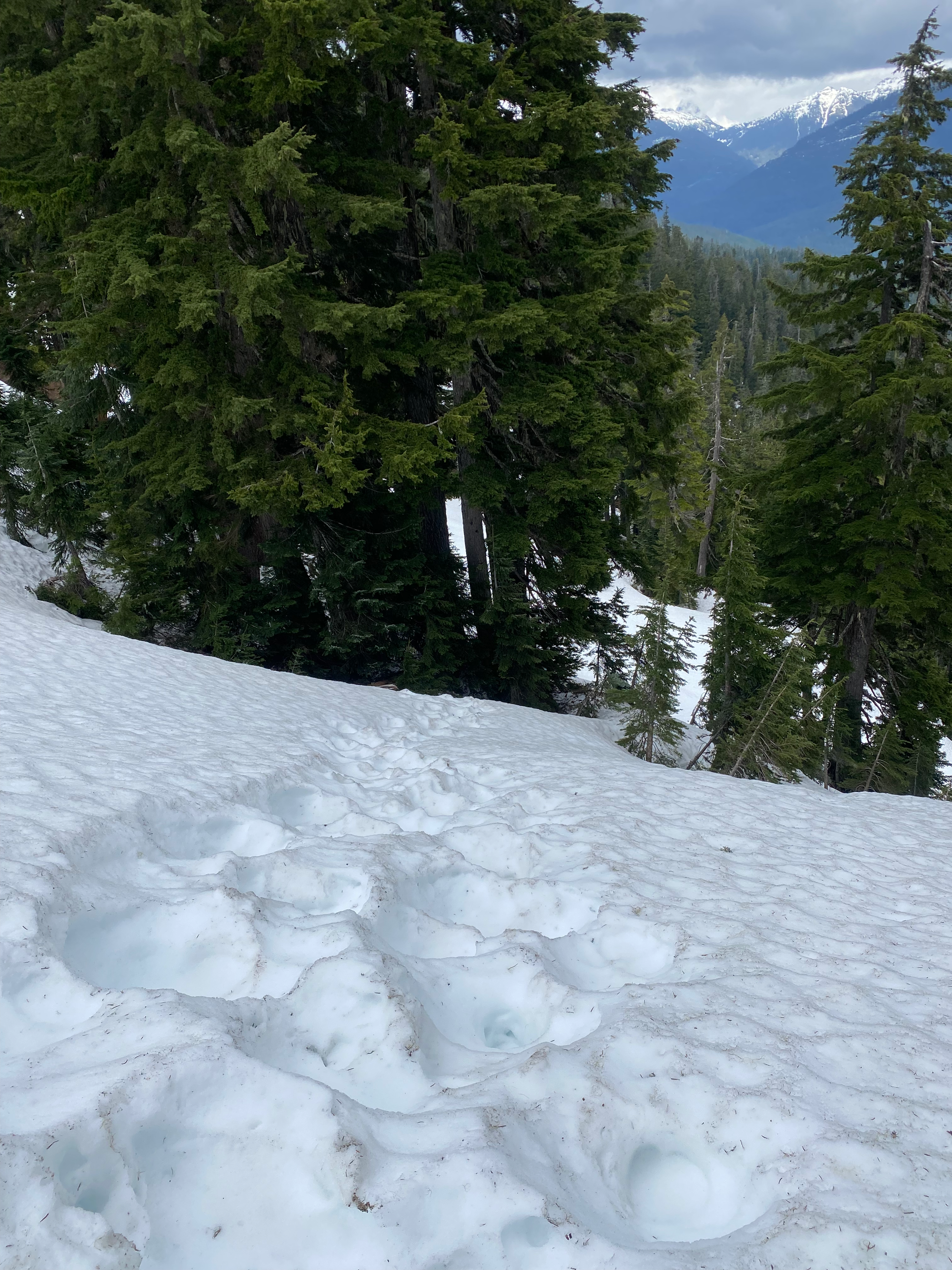
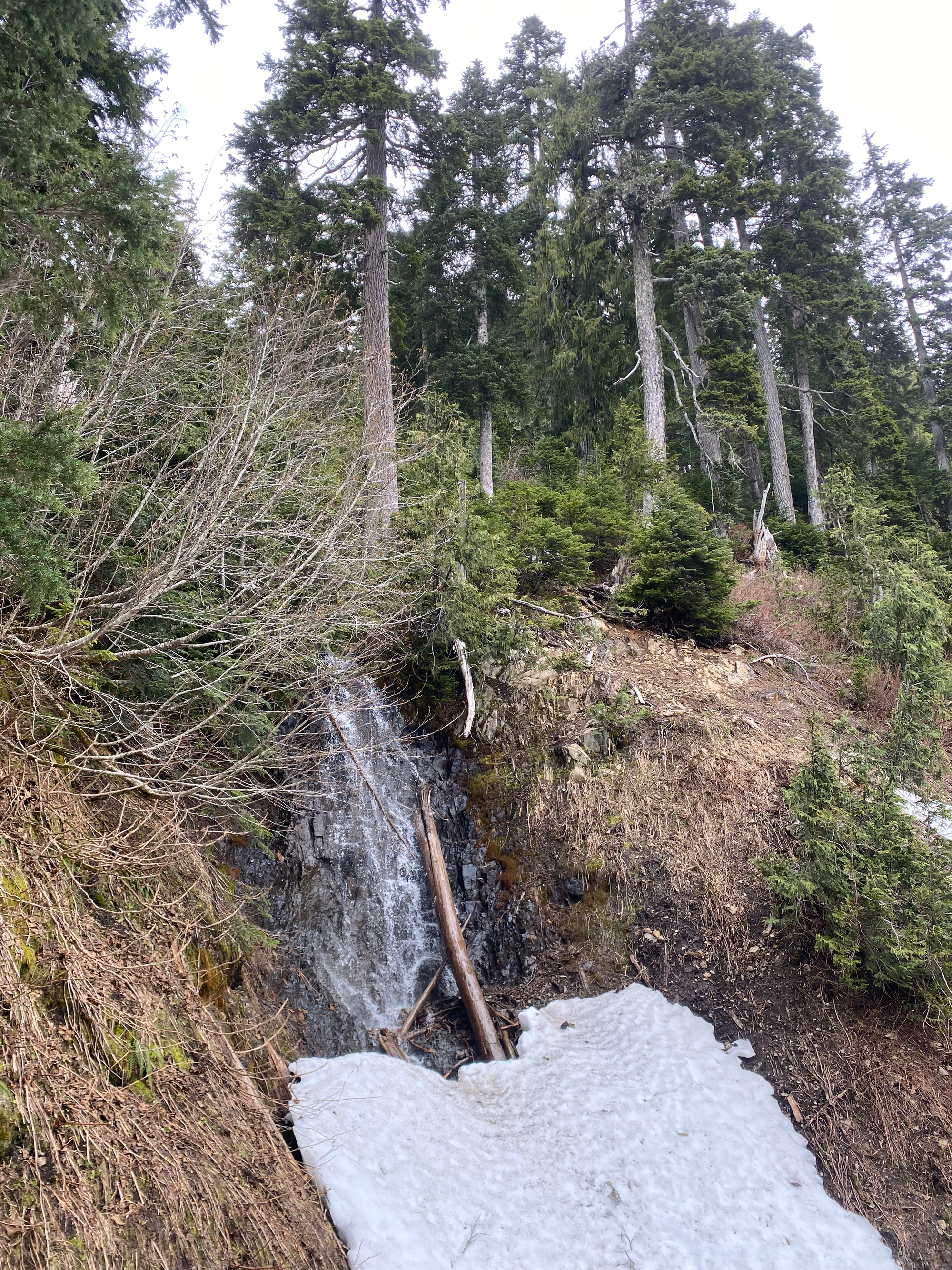
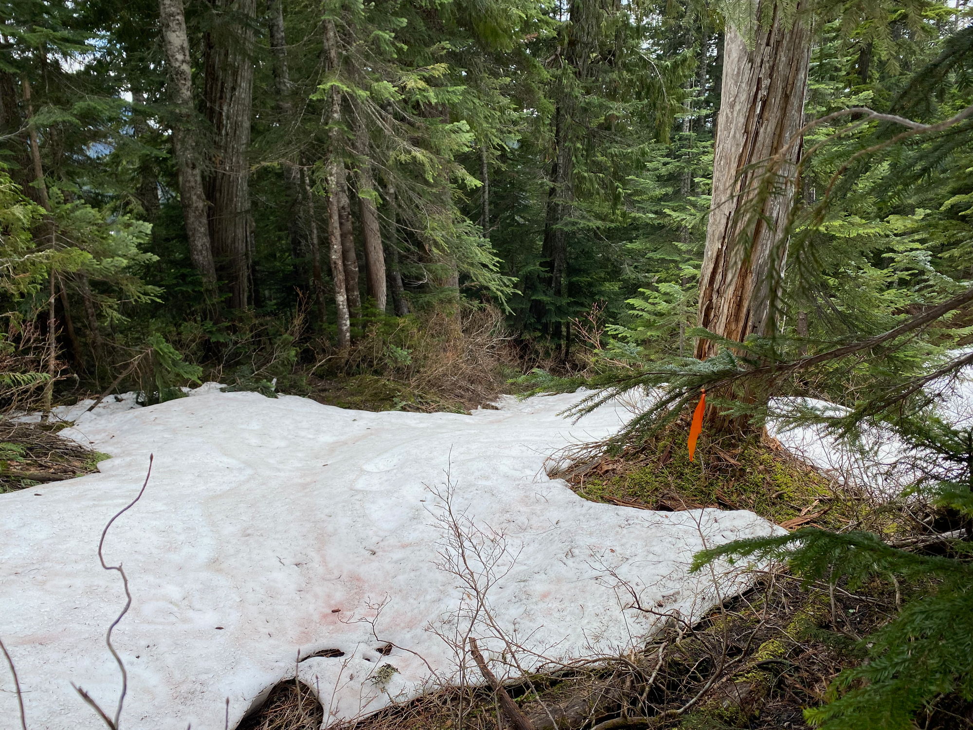
I lost the elk trail at the waterfall - I think it crossed the creek - so I went down the creek valley, eventually crossing into another creek to the north. This route would have some annoying devil’s club sections in the summer. Past the second creek, I emerged onto another overgrown trail with some flagging, eventually punching out onto another spur of the logging road. From there I retraced my steps to the car.


Member discussion