Vedder Mountain

Date: November 27, 2024
Distance: 11.21km
Elevation gain: 388m
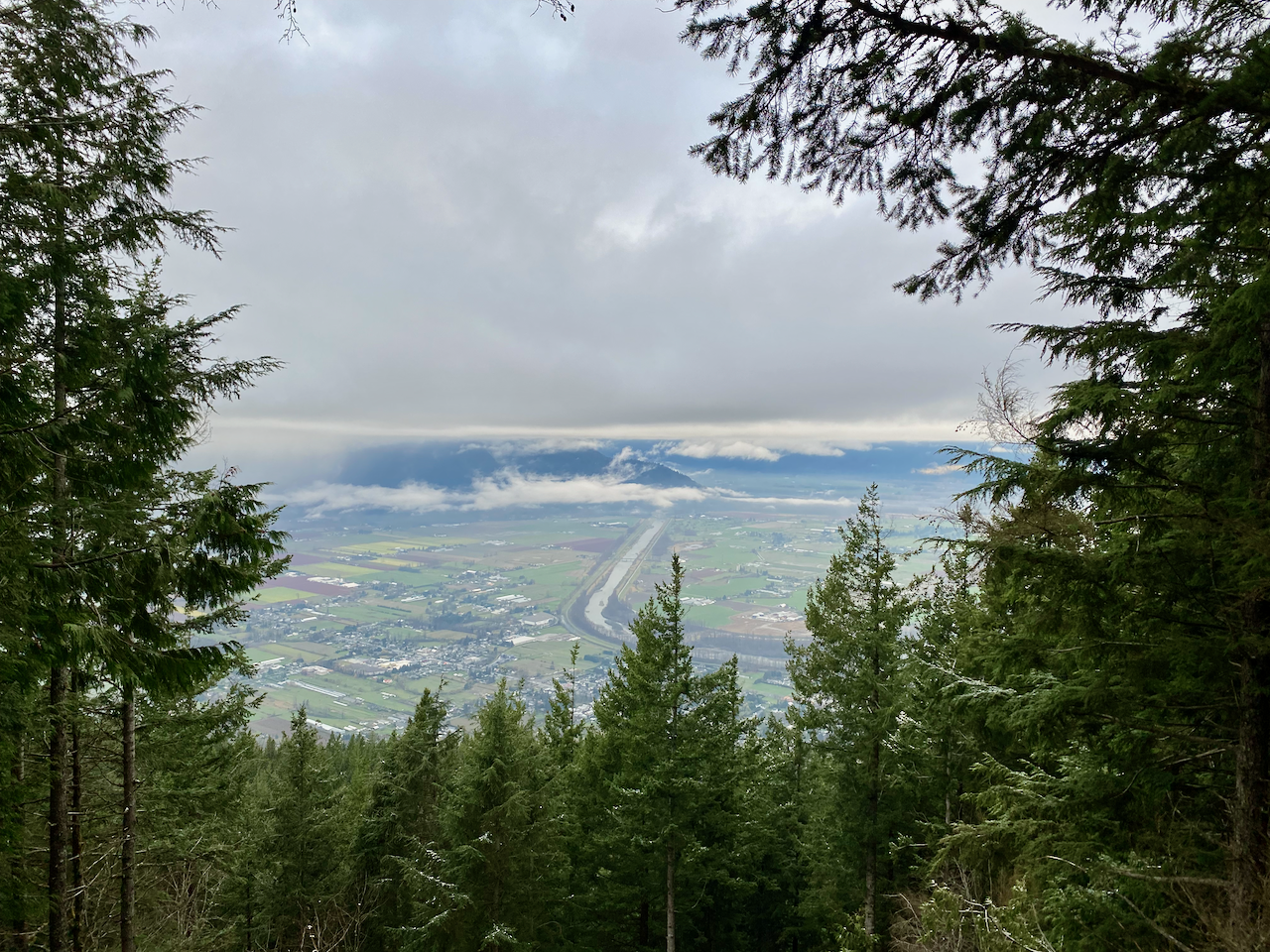
Vedder Mountain is a mostly forested ridge rising above Cultus Lake. The main route to its summit is the Vedder Ridge Trail, a pleasant walk along the ridge for several kilometres, with decent views through the trees. My expectations for this trail weren’t high, but it definitely exceeded expectations. This trail mostly involves gentle slopes (there are a couple of short class 2 sections at the end with fixed ropes, but these aren’t exposed), making it a good option for trail running.
I had a car and wanted to take advantage of decent weather, but I had to be back in North Vancouver by 12:15, which limited my options. Vedder Mountain stood out as a relatively short, avalanche-safe trail (almost no snow) that’s only an hour and a half away from the North Shore, much closer than almost all other peaks in that area.
I woke up early and left town. I took the road to Cultus Lake, passing many RVs and billboards, then headed right (west) on Parmenter Road, passing a steady stream of trucks from the gravel pit. I drove up the Vedder Mountain FSR, which was recently graded and in excellent shape, and parked around 560m at the turnoff to Tower Road.
The first 0.8km follows Tower Road uphill. A large washout right at the turnoff stopped my car, but a high clearance vehicle could drive up this stretch. Past the washout, the road was in good condition.
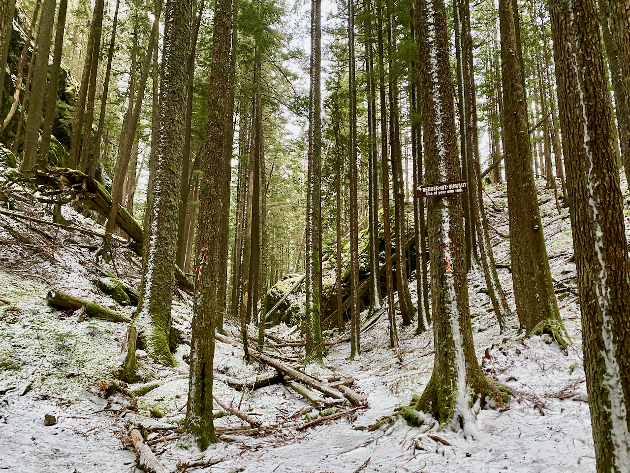
At 660m I followed the well-marked Vedder Mountain Ridge Trail to the west. This trail switchbacks up the side of the mountain to reach the ridge. There are some views through the trees. All the trails here are clearly well maintained and don't have many roots or other obstacles; it was pretty easy to jog for most of the way.
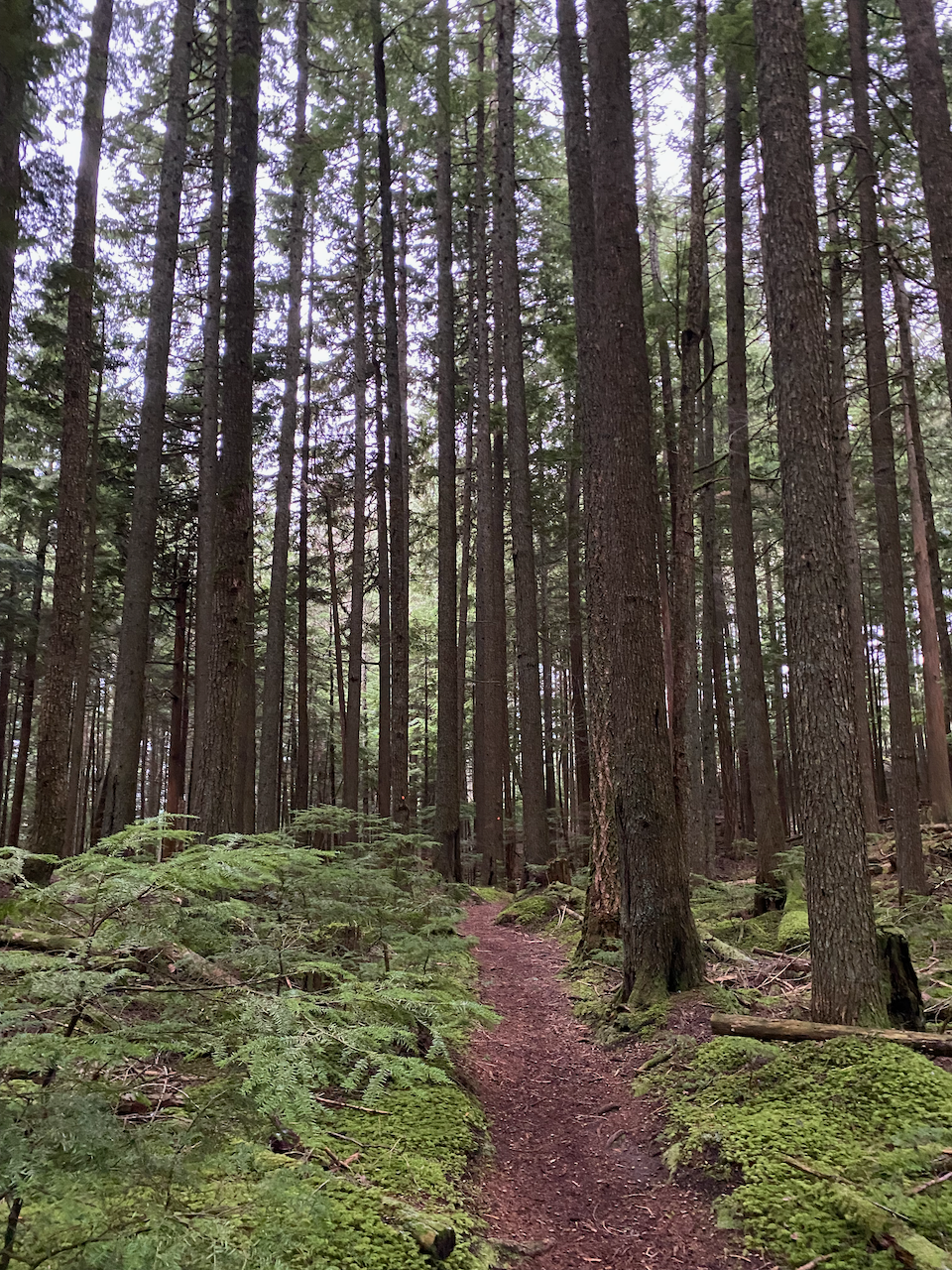
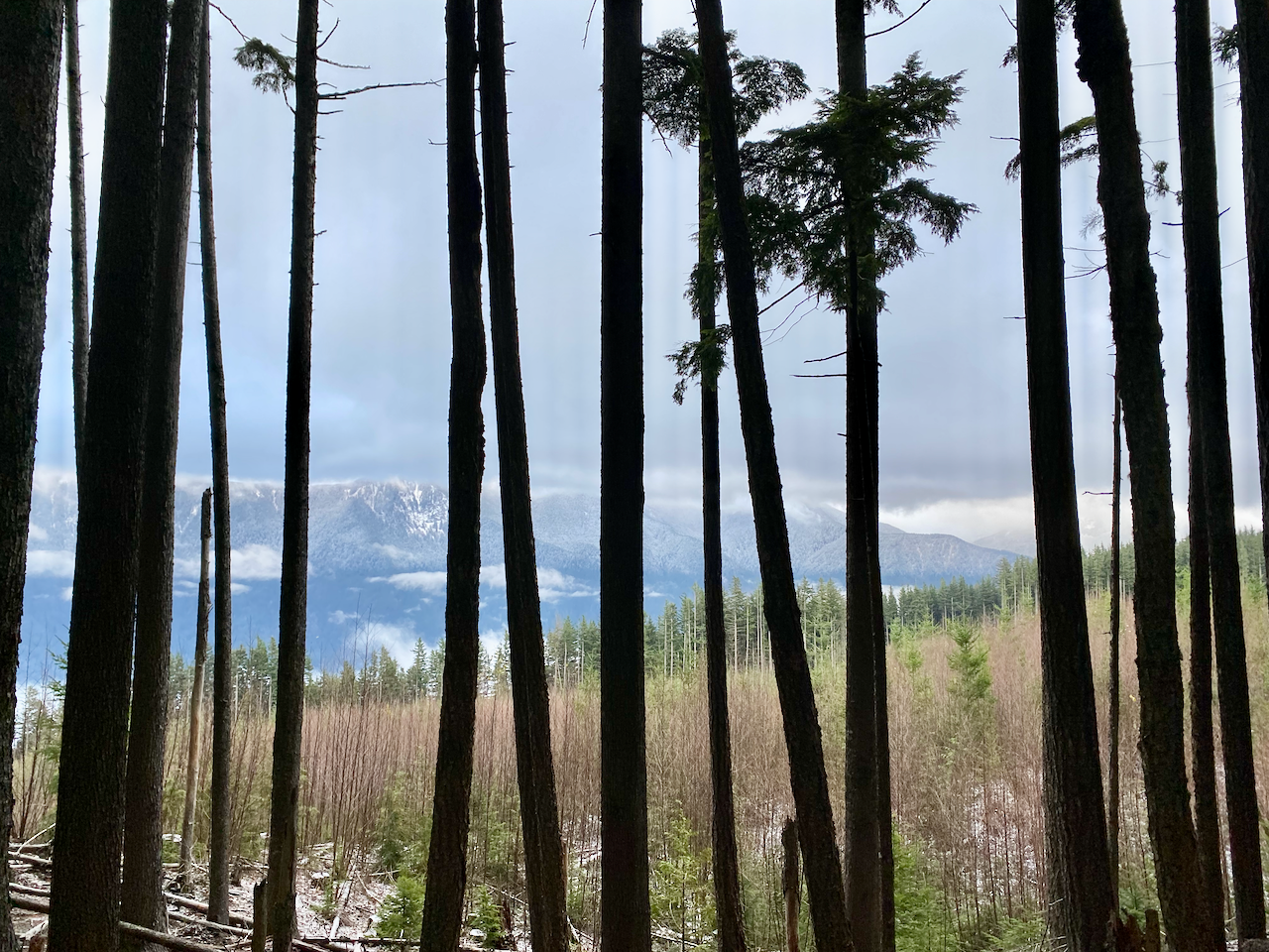
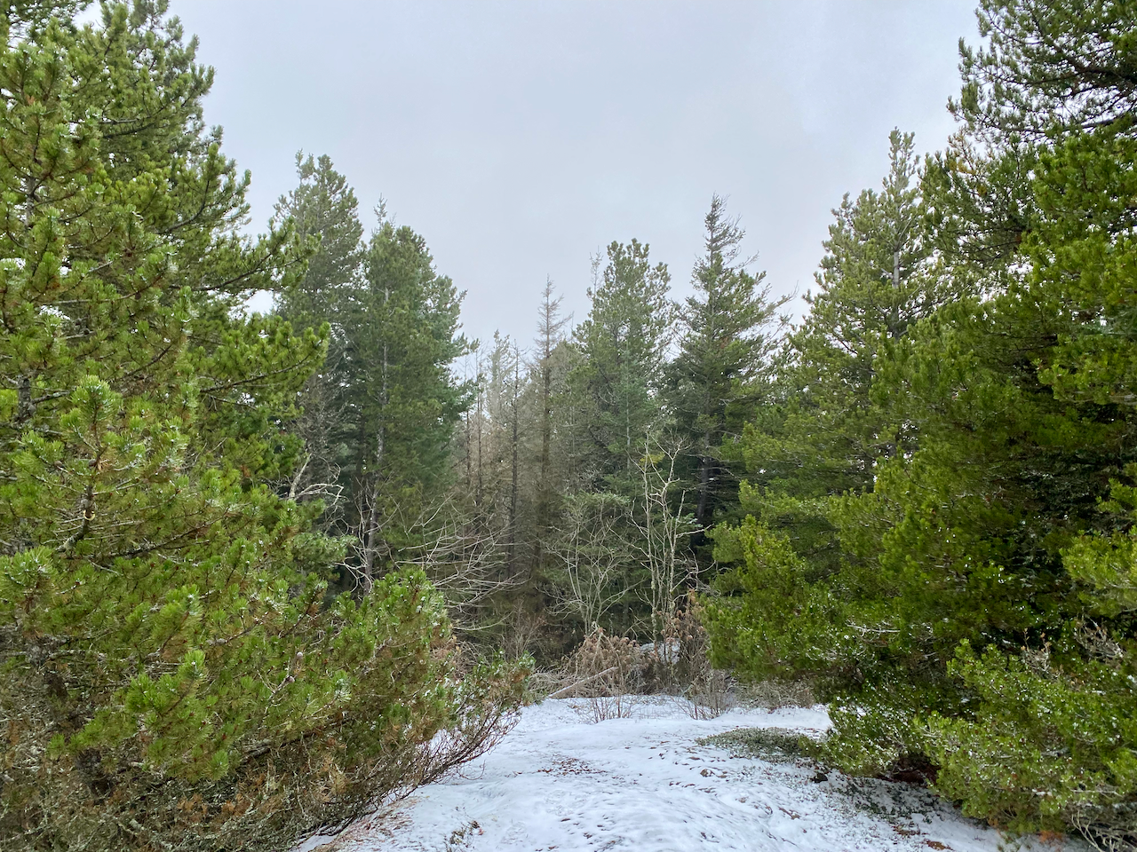
From this point, the trail continued southwest along the ridge, through third-growth forest, past ponds and rock outcrops. There are some short side trails to viewpoints. After about 700m there was a small amount (<5mm) of snow.
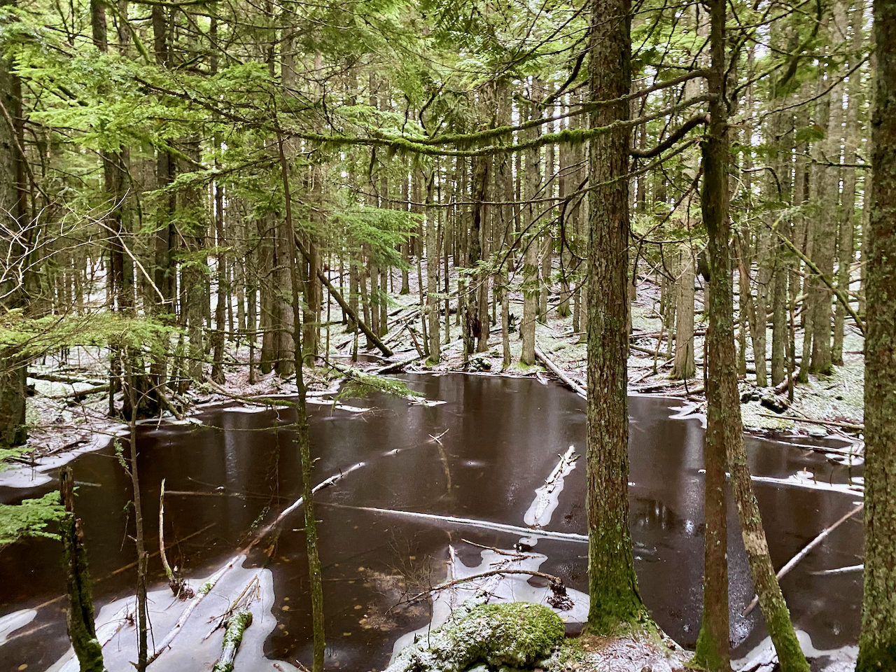
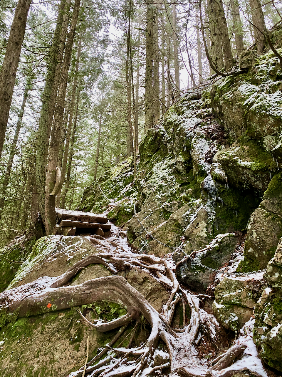
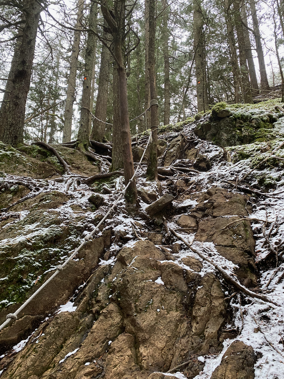
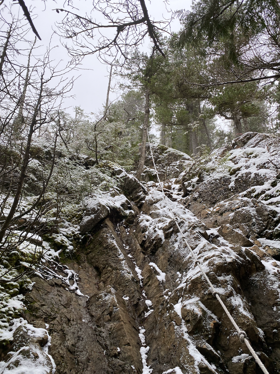
The trail curved around a large pond, then climbed to a junction with another trail. The final push to the summit involved three short sections of class 2 scrambling. Each section has a fixed rope attached. There was more snow here, making the rocks quite slippery, and I might have used the fixed ropes at a couple points…
The summit area had a few more viewpoints through the pines, but these were clouded over. I think the highest point (no views) is an outcrop just past the “north viewpoint”. There is a memorial just below this point.
Time was running out so I didn’t linger. I jogged back to the car through a sudden burst of snow and made it back to North Van with plenty of time to spare.


Member discussion