Tricouni Peak
Date: September 30, 2024
Distance: 18.98km (subtract about 1km each way if you get past the first washout)
Elevation gain: 1369m
Trricouni Peak, north of Squamish, is a popular hike offering relatively easy access to the alpine, bright blue mountain lakes, peaceful meadows, a decent amount of scrambling, and excellent views.
My friend Isidor had a 24 hour layover in Vancouver on his way home from Australia. I suggested a few hikes that would be good introductions to the BC backcountry and he picked Tricouni Peak. I picked him up at the airport at 7am and we headed north to Squamish after buying a lot of canned coffee.
We drove for 28km on the Squamish Valley Road, passing several campsites and the hydro project, then headed northeast on Branch 200 (“High Falls Creek FSR”). The FSR begins with a steep climb. On this stretch, there were several very steep sections with many loose rocks which required careful navigation. 4WD and high clearance recommended. Past that, the road was more manageable, until we came to the turnoff for Branch 250, 7km along the road, which leads to the official Tricouni trailhead. At about 700m elevation we reached a large washout, with loose soil on the other side, that the Subaru couldn’t negotiate. We parked there, which would add 3.5km of walking each way. We’d come this far, and it would take longer to drive to another hike, so we decided to keep going. At this point I really regretted not bringing mountain bikes, which would have made this section much faster. I guess the whole FSR experience was a decent, if unflattering, introduction to BC hiking.
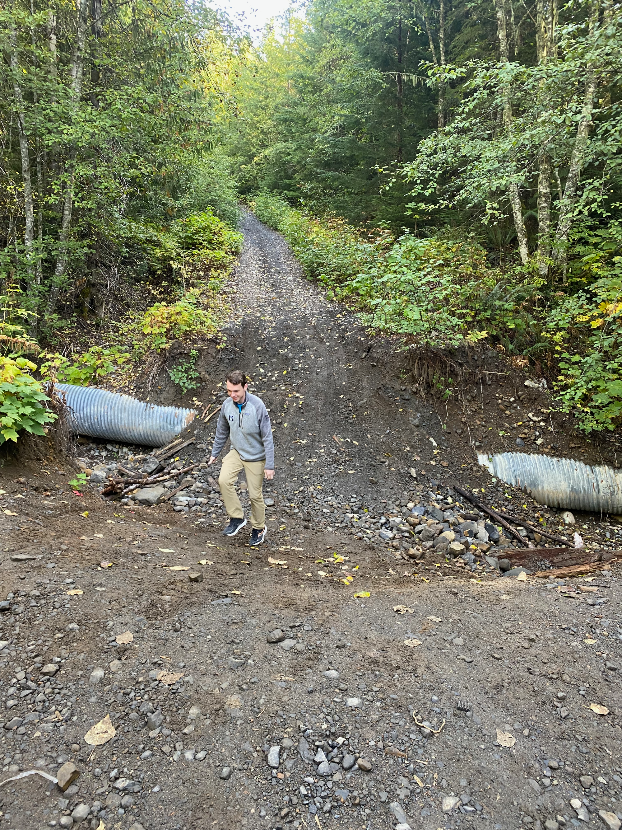
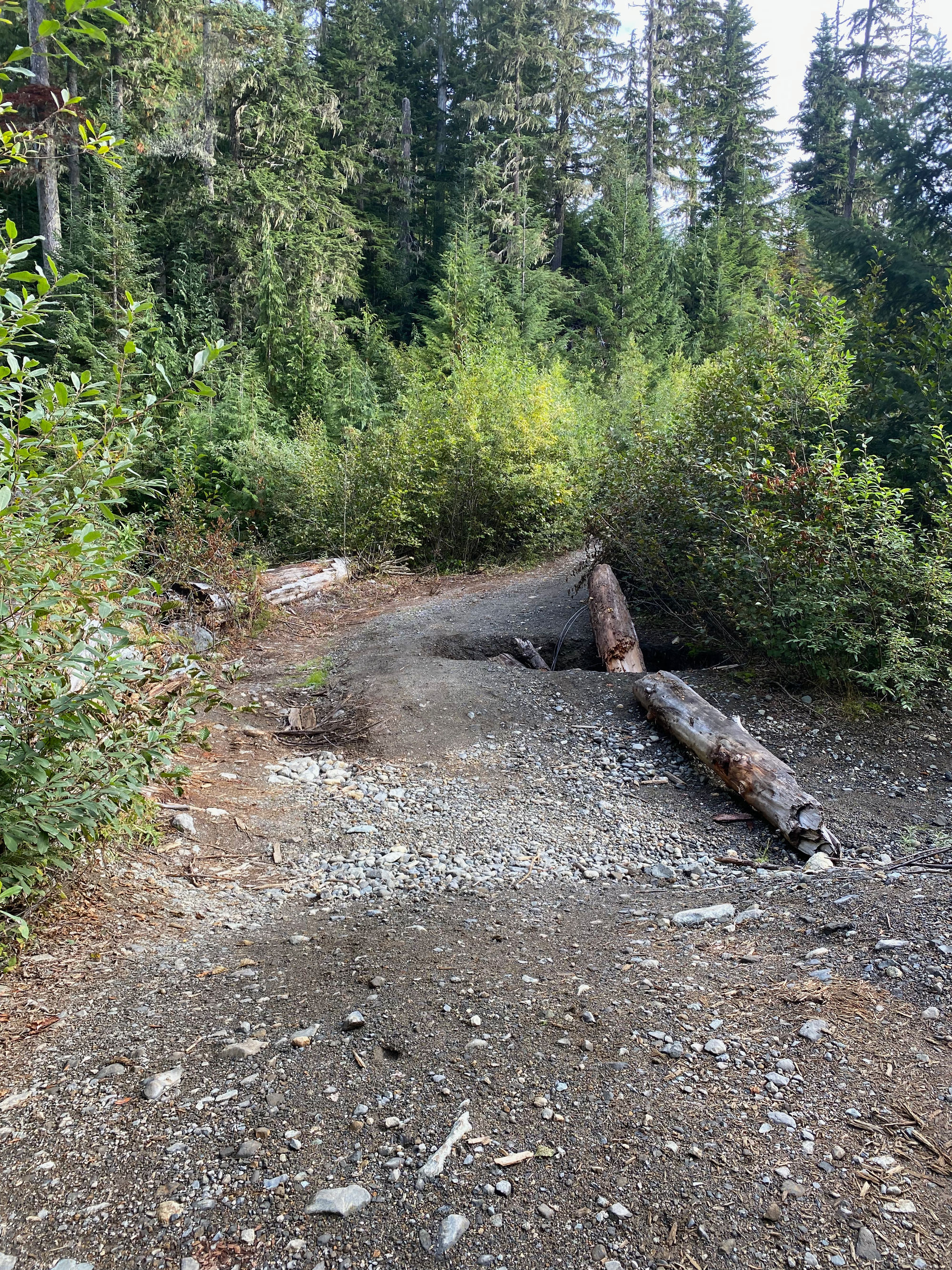
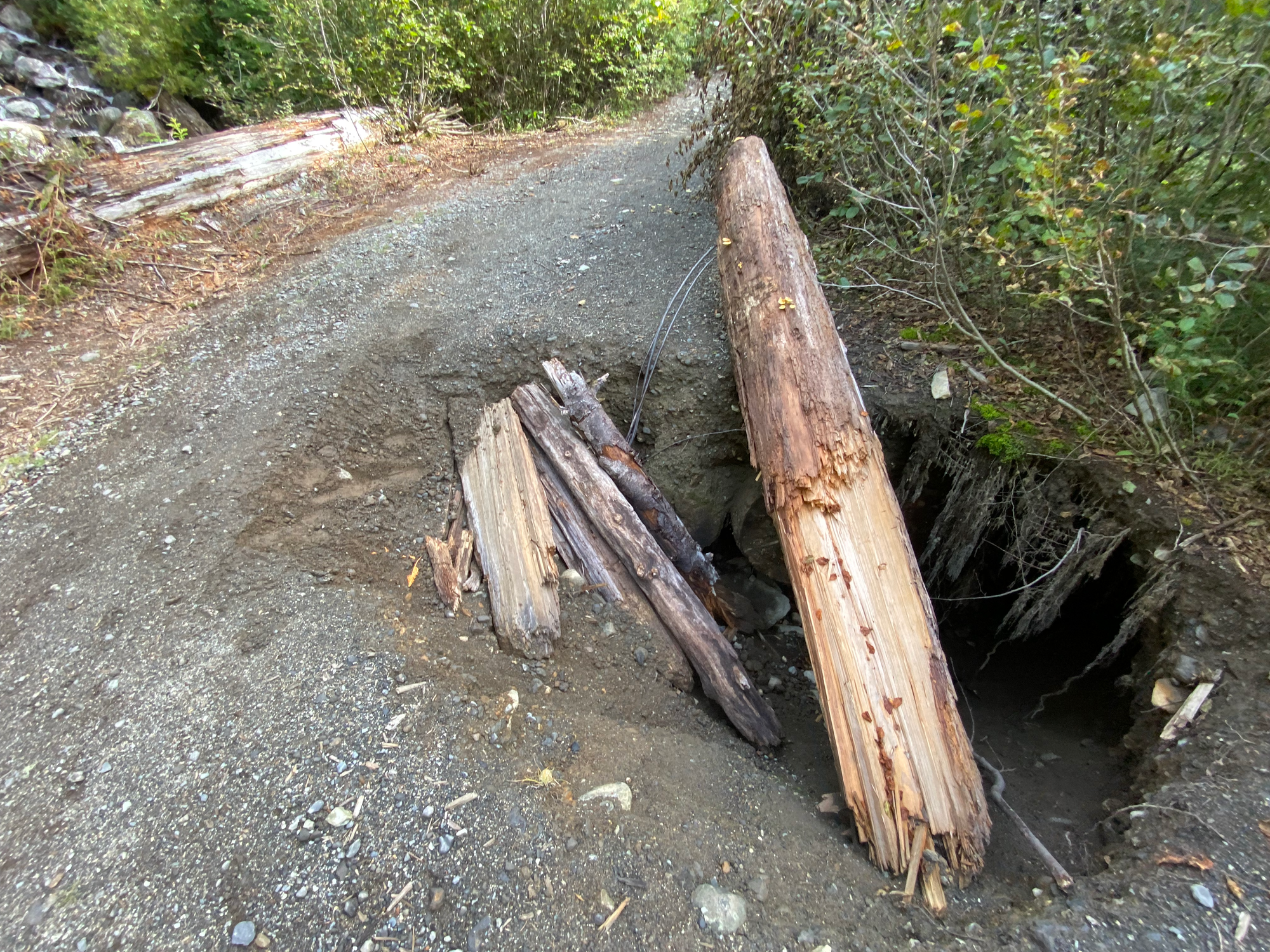
The road is in excellent condition for about 1km after the washout. There was another smaller washout, caused by a little creek, which would be very manageable for any vehicle that could get past the first washout. A few hundred metres past that was a third washout, with a massive sinkhole covering most of the road. We saw two Ford F150 trucks parked right before this washout. About a kilometre past this we reached the actual trailhead, with a large - and empty - parking lot.
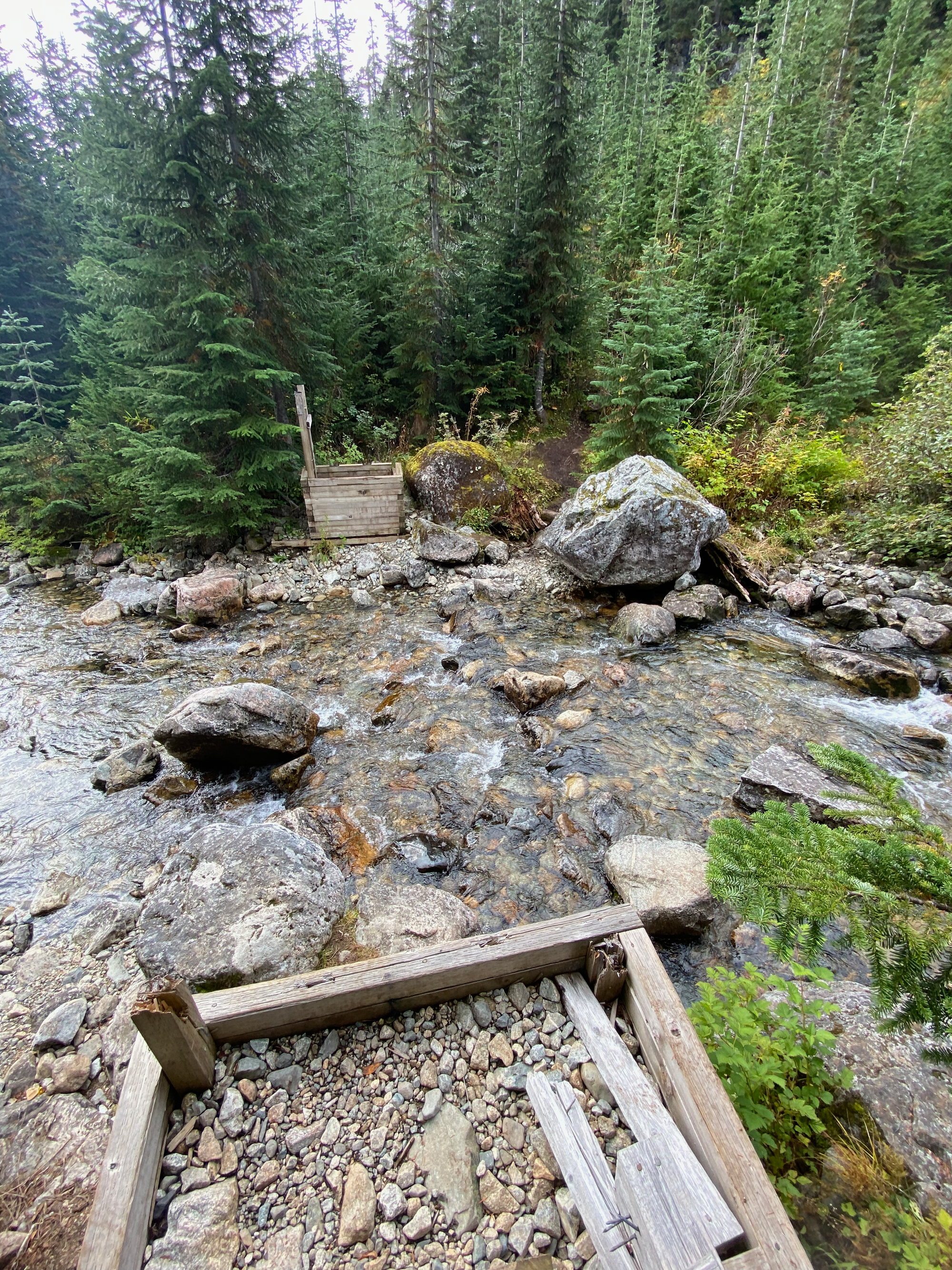
The original trail follows the east side of a creek to Pendant Lake. This route passes through a fragile wetland ecosystem, and is also quite muddy, so a bypass trail has been built, which traverses a boulder field on the west side of the creek. The maintainers of the trail request that people take the western bypass, so we did that. After crossing the creek (doable without getting feet wet, at least at this time of year) we hiked through the forest before reaching the boulders. The boulder field had its ups and downs but at least the rocks weren’t loose. At one point we passed a family with several young children who were moving quite quickly across the boulder field - another classic BC hiking moment for Isidor.
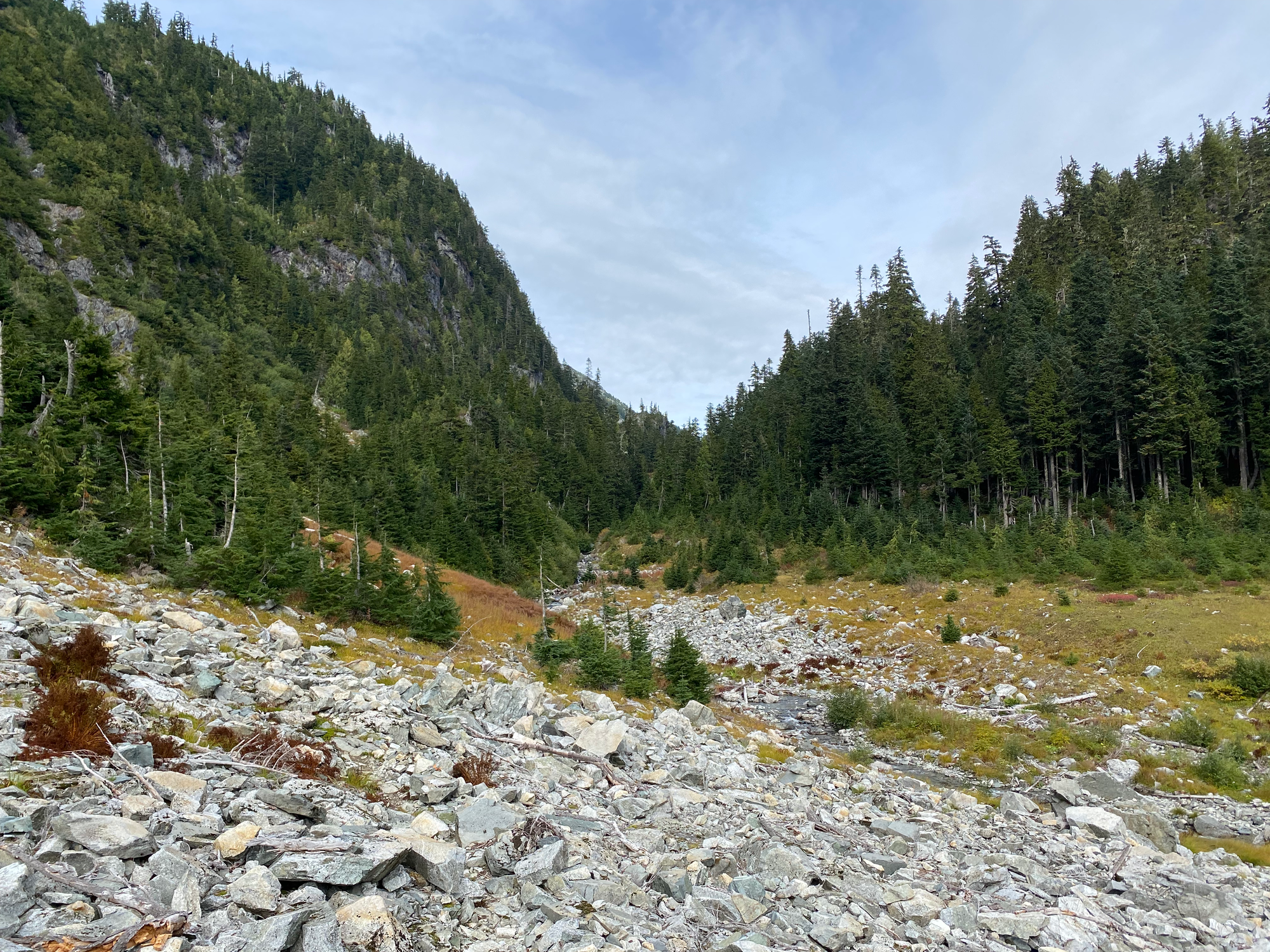
After a few kilometres we emerged into the alpine, crossing a creek to reach Pendant Lake. This was our first glimpse of the actual Tricouni Peak and was a good spot for a lunch break. From this angle, the summit looks quite pointy and difficult. Fall colours were on full display.

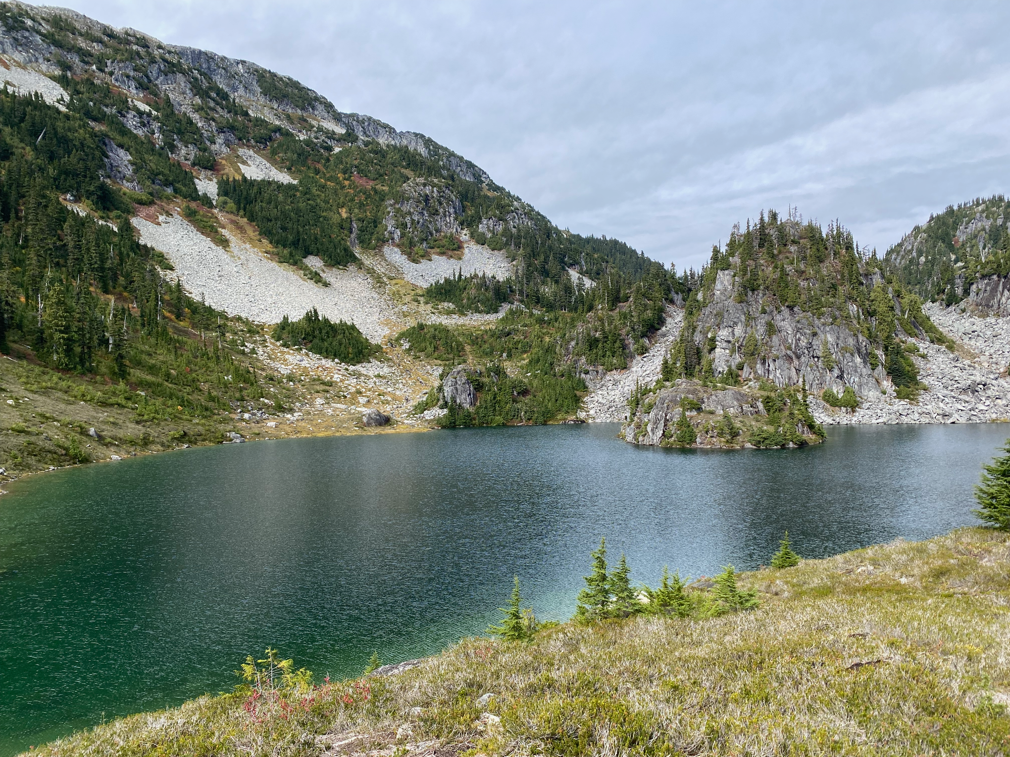
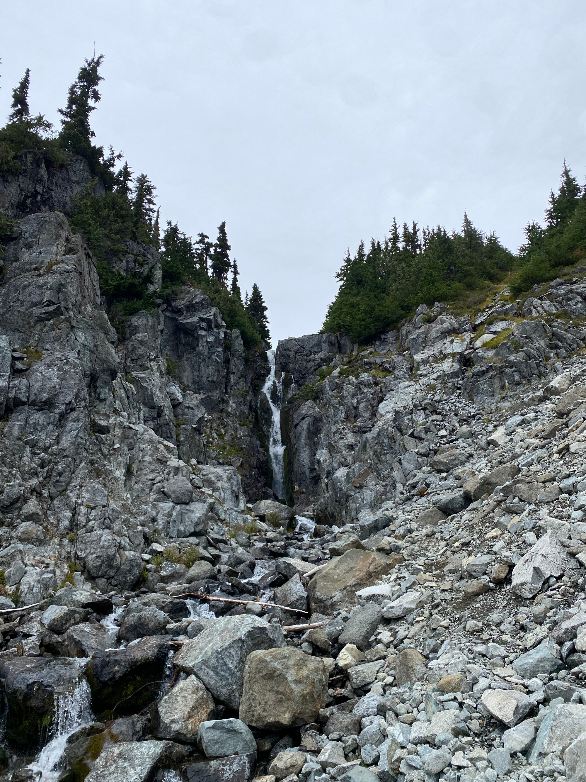
The trail curved east and soon reached the beautiful blue Spearpoint Lake. We wrapped around the lake’s north shore, crossed a creek below a waterfall, then ascended a scree slope to the east. Occasional cairns marked the way.
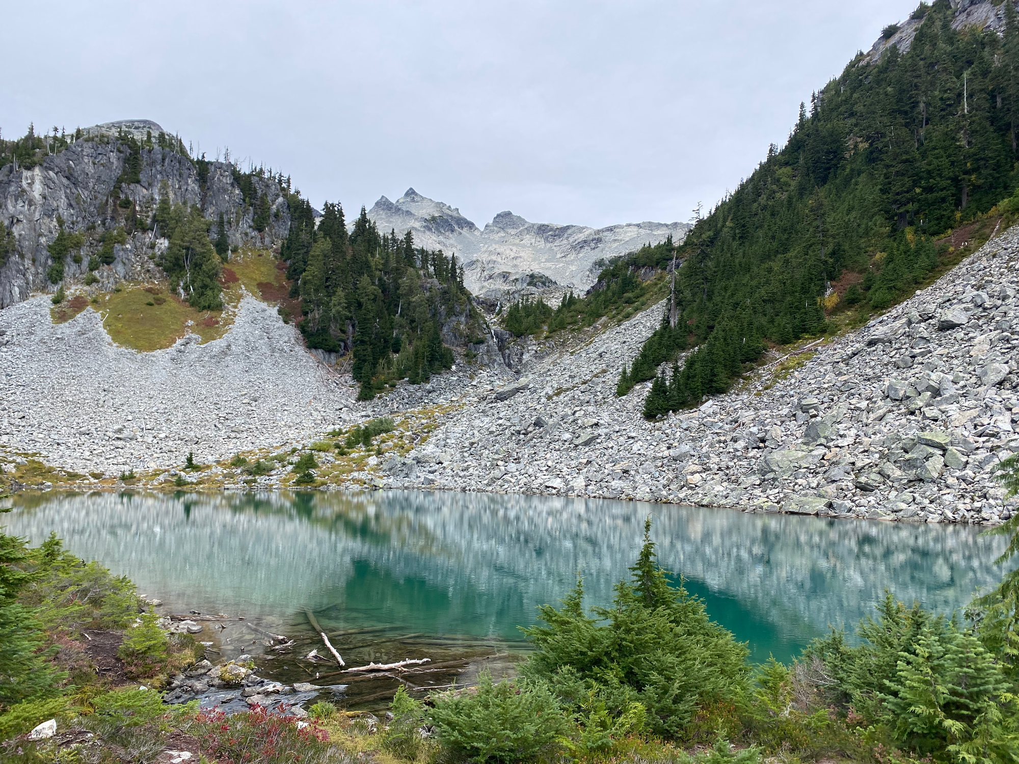
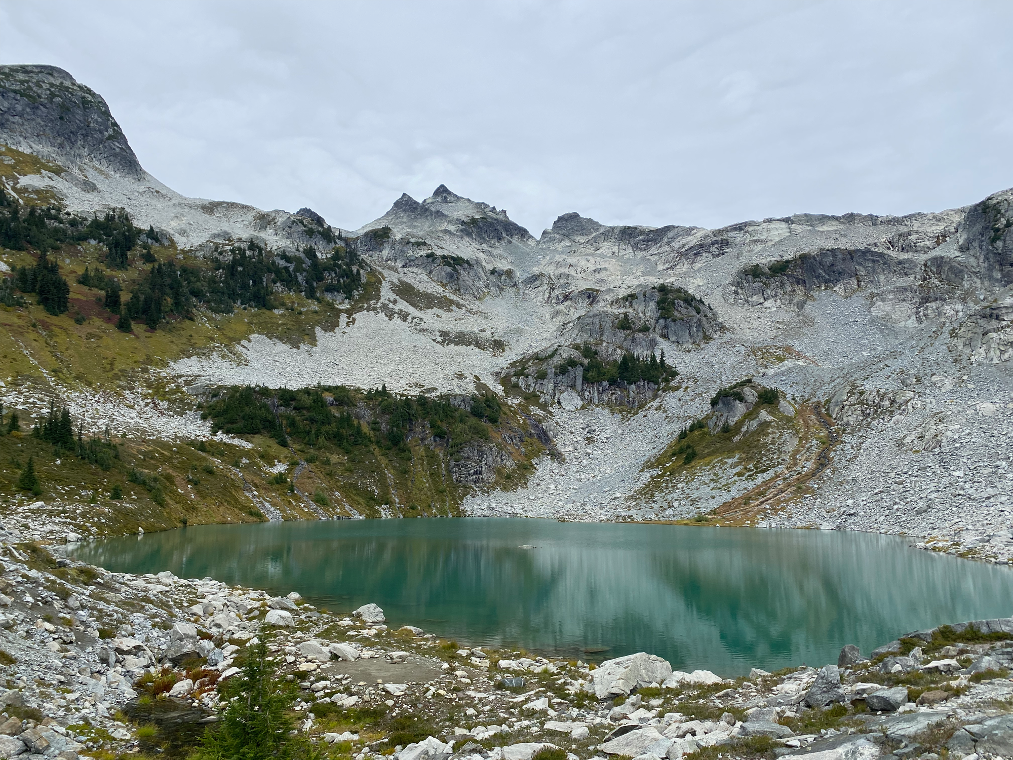
We crossed a short boulder field to reach the third lake, Reflection Lake, probably named after Tricouni Peak’s reflection on a clearer day.
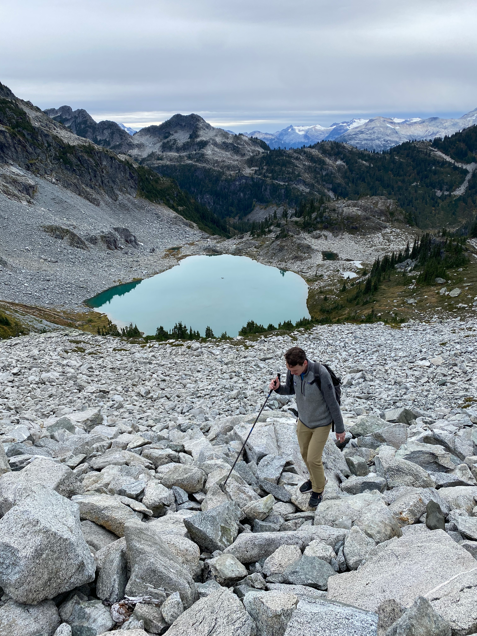
From here we followed Reflection Lake’s western shore before ascending a heather-covered slope to another boulder field. There are many paths here and some additional flagging would be useful to prevent braiding.
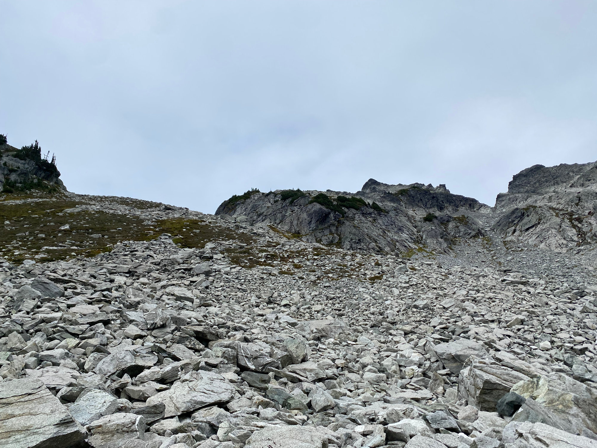
At about 1700m we began climbing a natural ramp, which forms the edge of a valley and bypasses some steep cliffs to the north. At 1850m we headed up a short gully to get above the cliffs, ending up on a bench below Tricouni’s summit. As we ascended the gully, it started snowing.
By this point jet lag had set in and several cups of Timmies’ coffee had worn off. We took a break and decided what to do. We almost turned around, but then the snow stopped, the weather somewhat cleared, and Isidor drank one of the cans of coffee and became more awake. We decided to tentatively keep going, but we would bail on the summit if the weather turned again or climbing became difficult.
We climbed over some more boulders to reach the base of an obvious ridge, which took us most of the way to the summit. The lower part of the ridge involved a short, relatively un-exposed section of class 3 scrambling. This led us to a short scree field and then to a short bench.
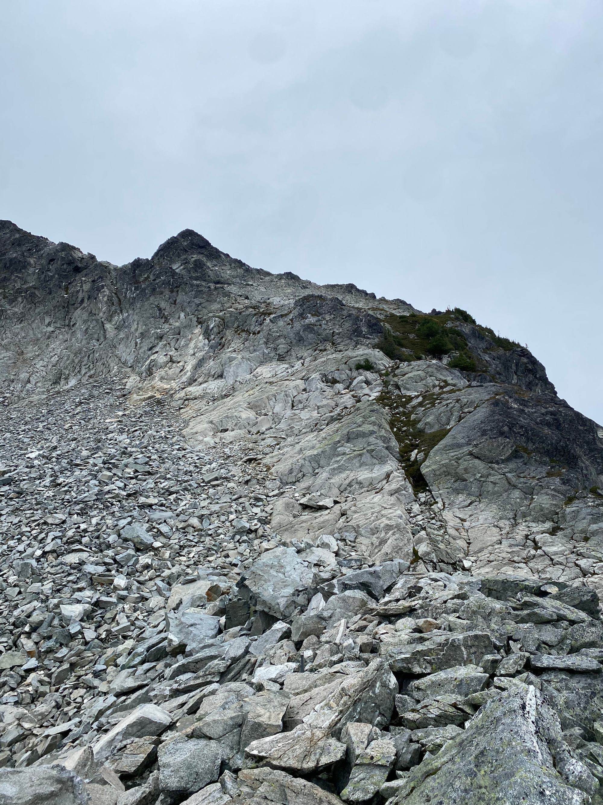
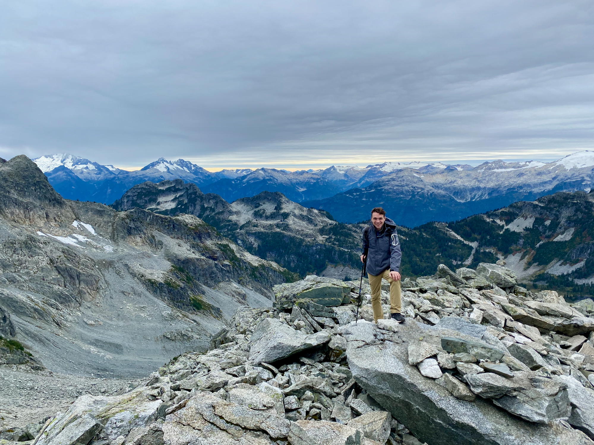
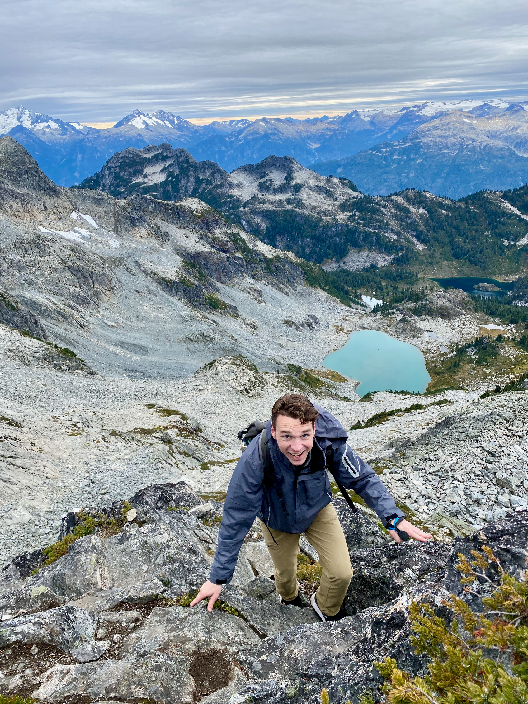
We had reached the crux of the climb, another class 3 scramble up more of the ridge and a small gully. We negotiated that quickly and soon we were on the peak.
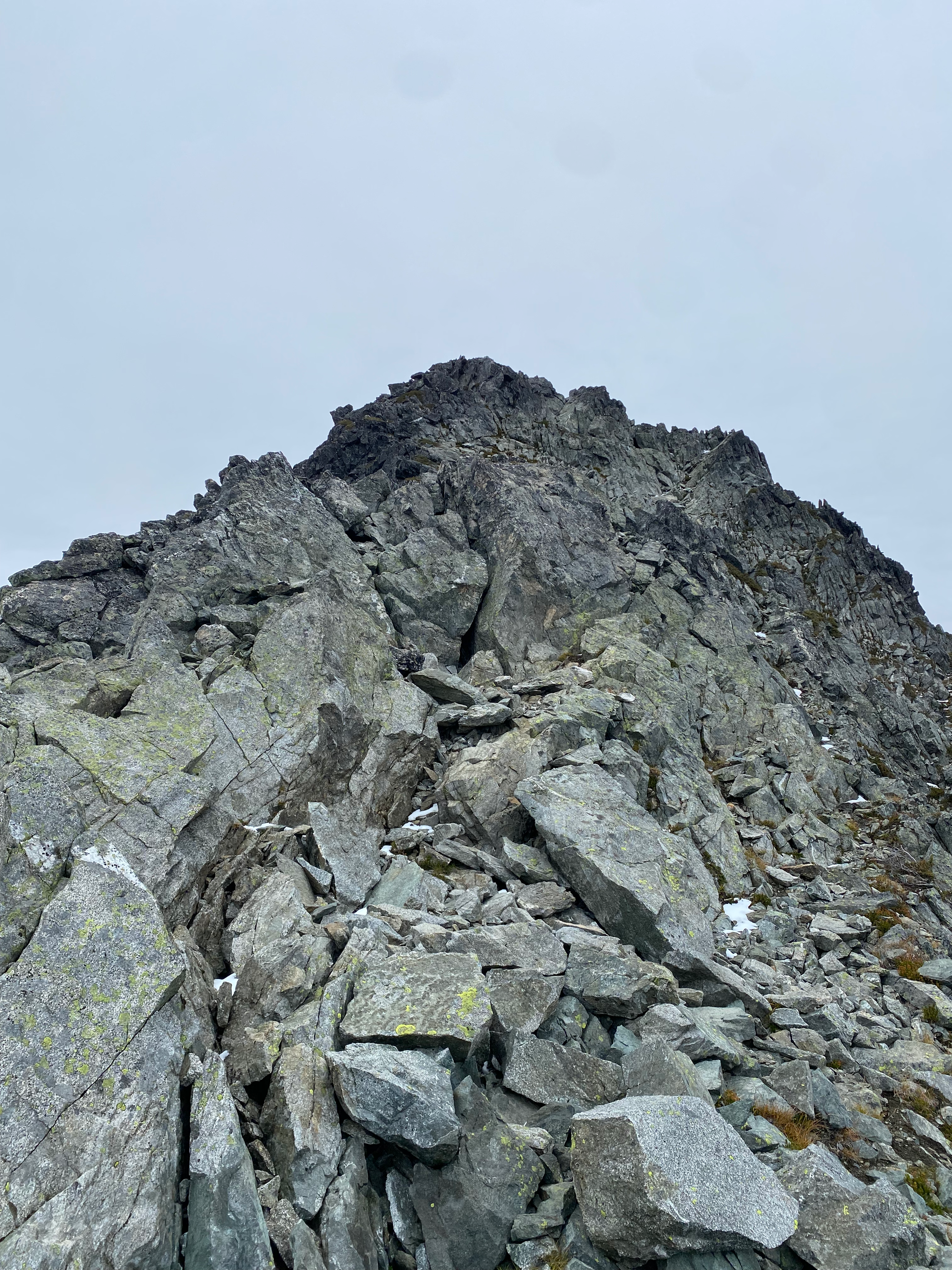
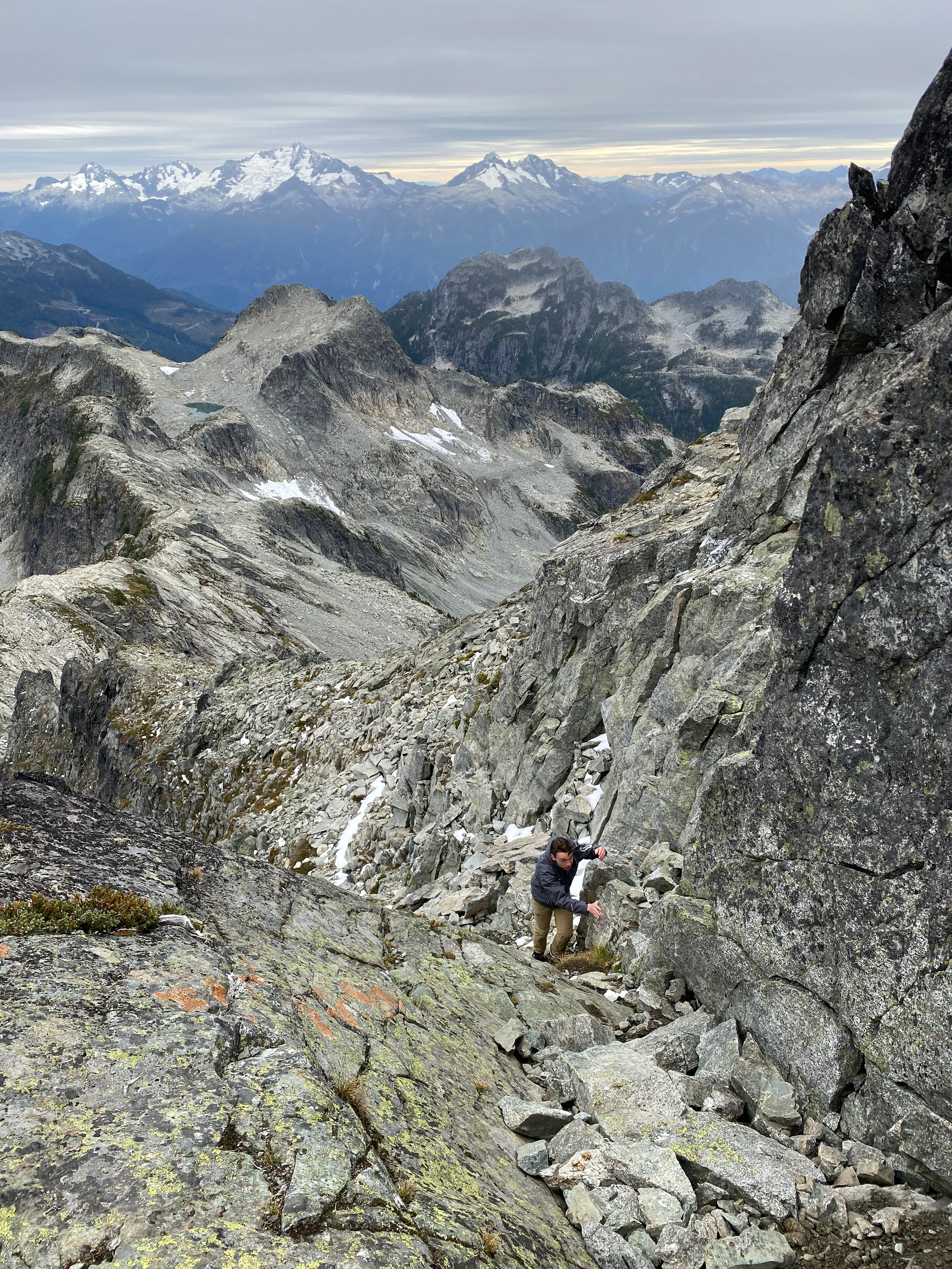
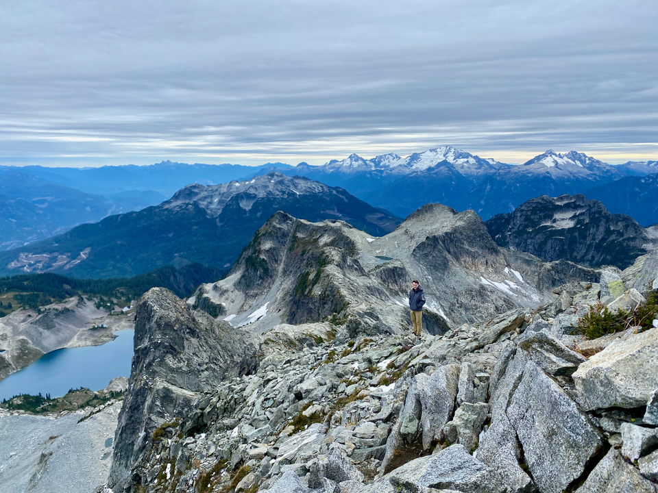
The views were splendid. Far below us were several small glaciers and lakes along the Tricouni-Cypress ridge. This is not a hike for anyone scared of heights! The Tantalus Range was across the valley. Further in the distance, we could see most of the Garibaldi Park peaks and some very remote peaks in the Ashlu area.
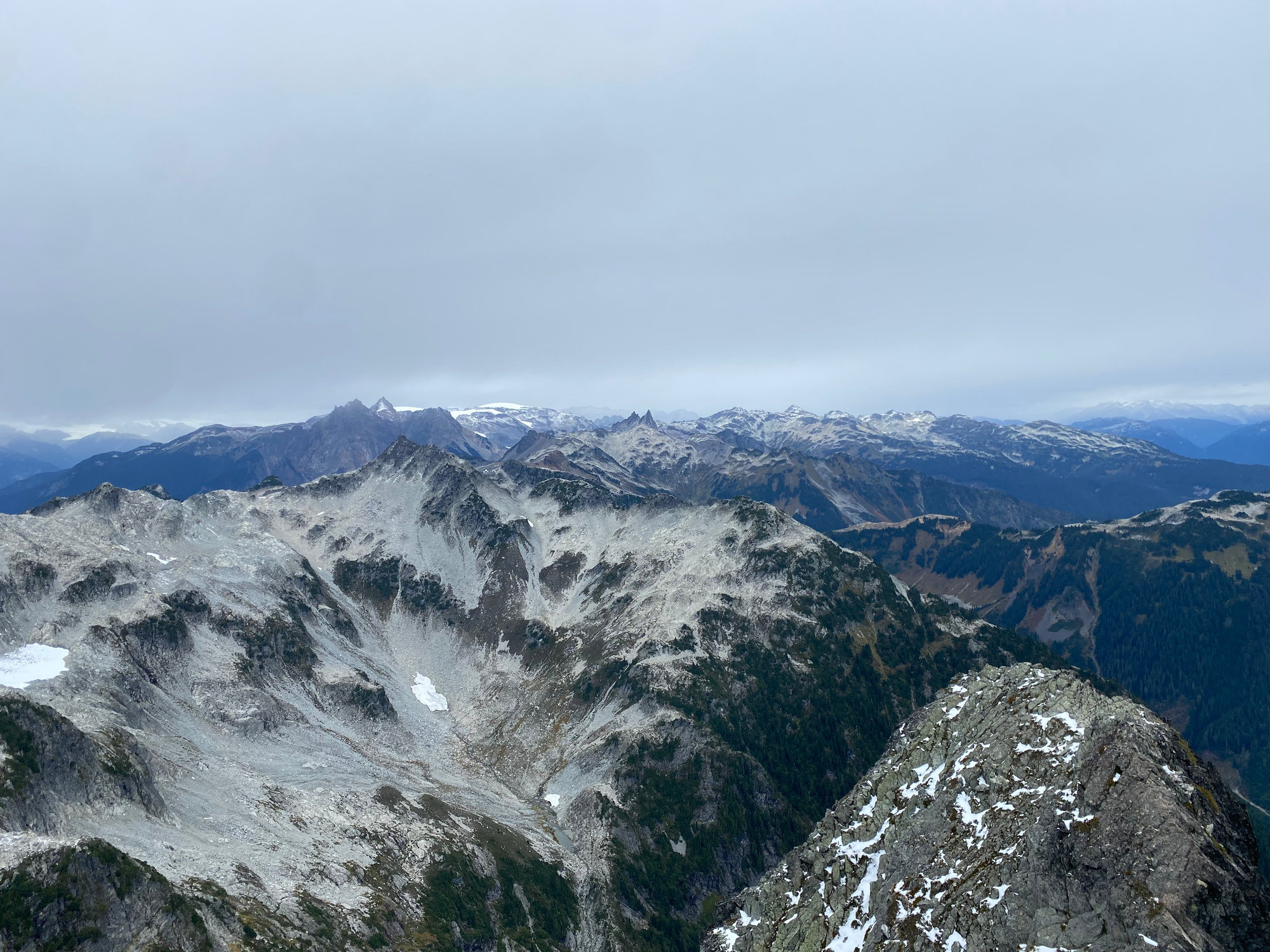
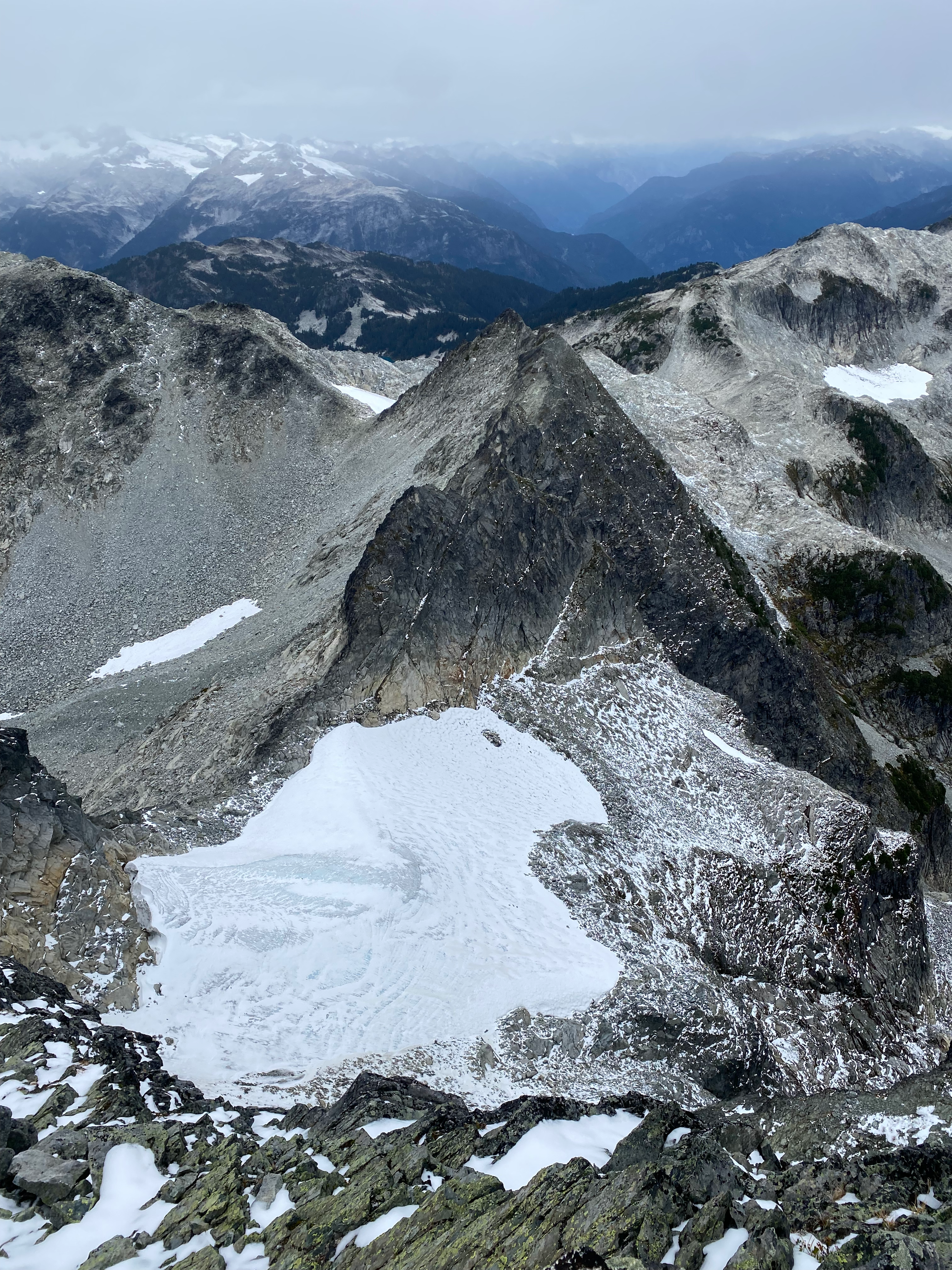
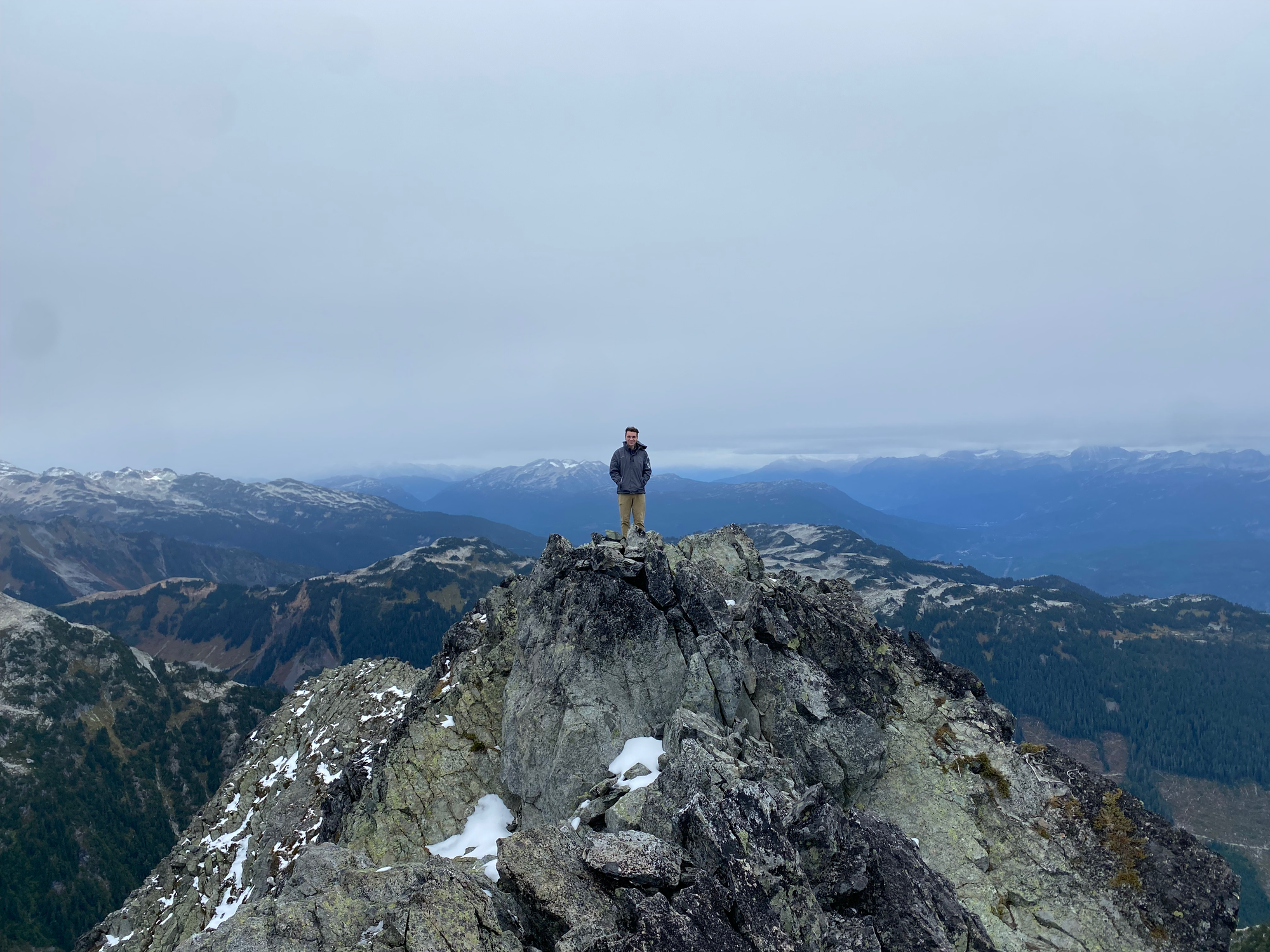
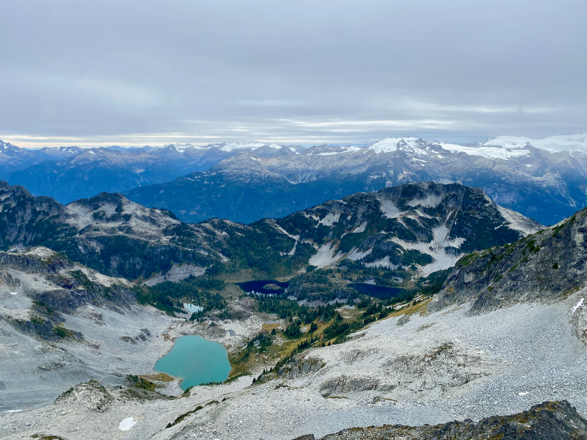
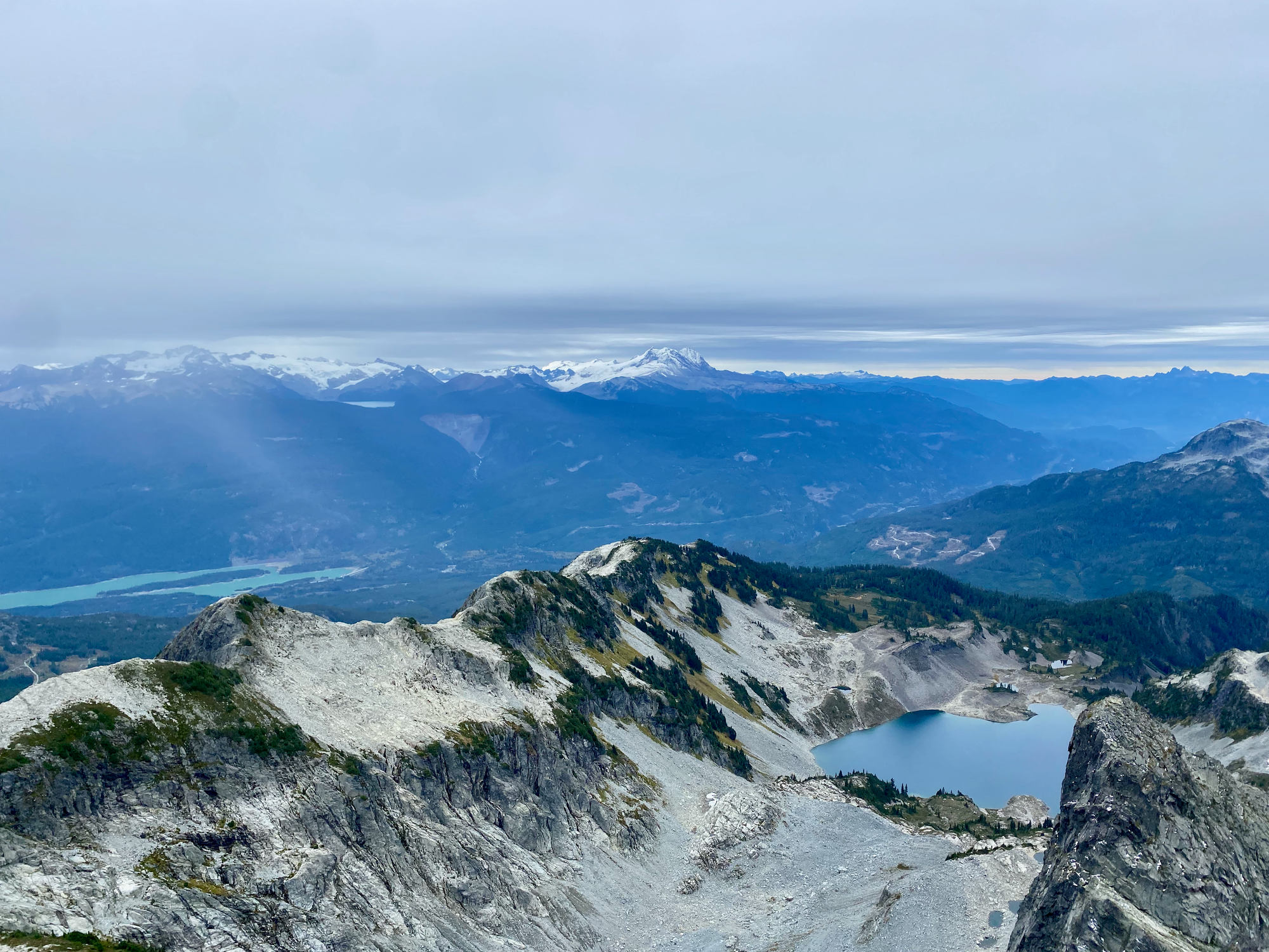
We didn’t want to stay for too long in case it started snowing again. We quickly descended the scramble part and made our way back to the official trail.
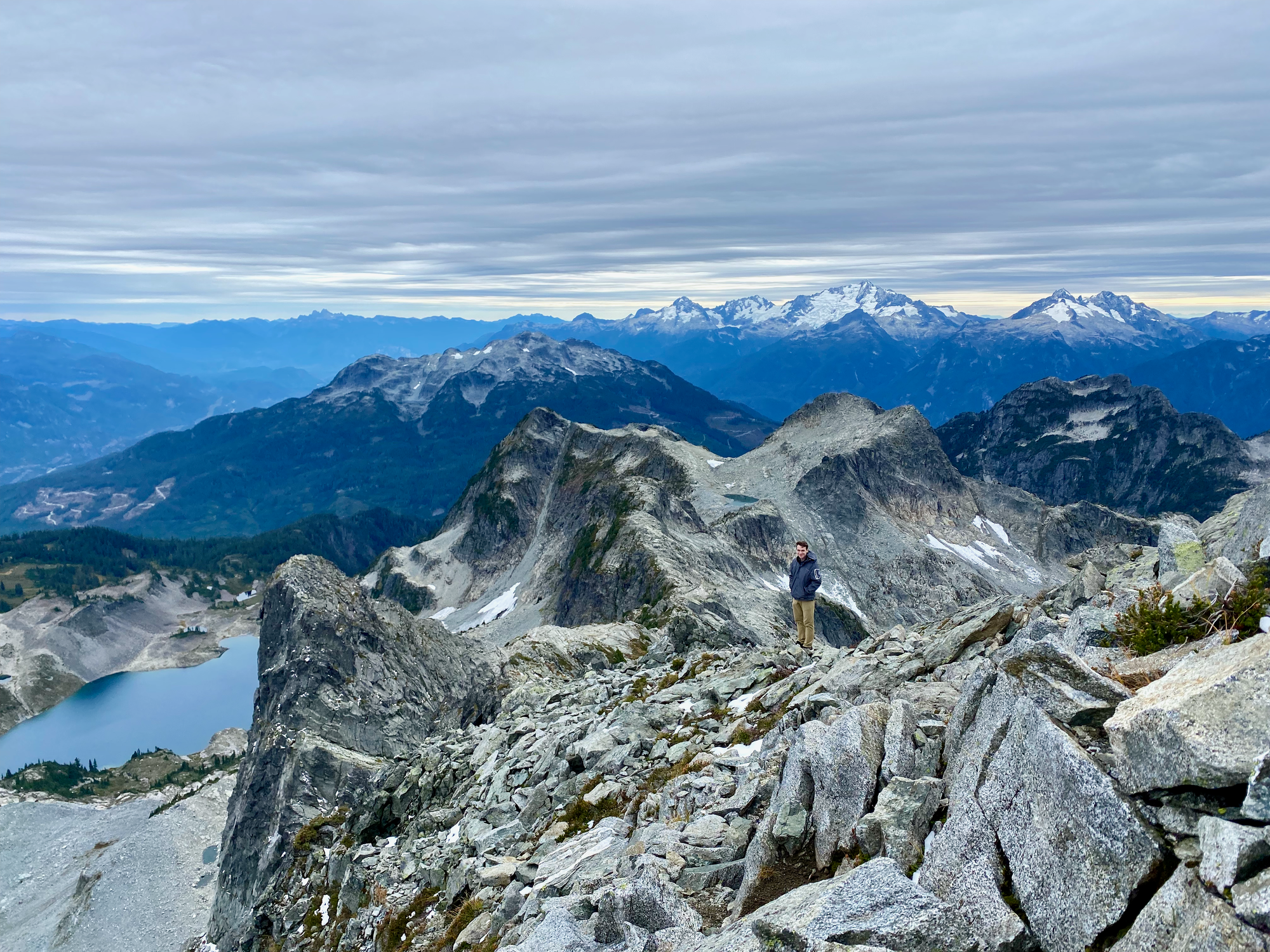
By that point jet lag and the lack of sleep had really caught up. The last canned coffee bought us some more time but it was still slow going. We made it to the official parking lot around sunset and then had to walk another 3.5km to the car, which we reached around 8:30. The planned North Van sushi dinner would have to wait for another time. Instead we had burgers in Squamish and arrived back to Vancouver around 11:30pm. It was quite the adventure, but I hope I didn’t scare Isidor away from BC…


Member discussion