Tetrahedron Peak
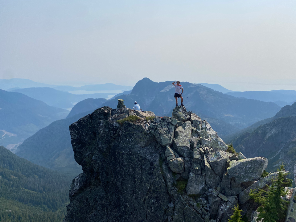
Date: Sept 7, 2024
Distance: 11.45 km
Elevation gain: 1282 m
Tetrahedron Peak, the highest peak in its namesake provincial park, towers over much of the lower Sunshine Coast and is visible from some areas of Vancouver. Like most other Sunshine Coast peaks, the ferry logistics ensure that it sees fewer ascents than it deserves, which is a shame since it’s a relatively straightforward scramble offering excellent views. The area near the trailhead was recently logged, saving several kilometres of FSR walking, and the trail seems to have been recently maintained and flagged, making the peak more accessible than in previous years.
I hiked to Tetrahedron with David and Phil from the SWBC Peakbaggers group. I left home at 5am to avoid Gran Fondo-related chaos and quickly picked David up at Park Royal. We made it onto the highway as they were closing the exits. Despite arriving so early, we barely made it onto the ferry.
Unlike the rest of Tetrahedron Park, Tetrahedron Peak is accessed from the Rainy River FSR, which starts at Port Mellon. We had to check in with a gatekeeper and provide our names, destination, and licence plate number.
From Port Mellon, the FSR heads north into a valley ringed by massive cliffs. After about 8km we turned left onto a new logging road not marked on most mapping apps. Around 1.5km from Rainy River FSR, we bypassed a large rock on the road. Shortly past that, there were more rocks on the road and we had to park (at about 400m).
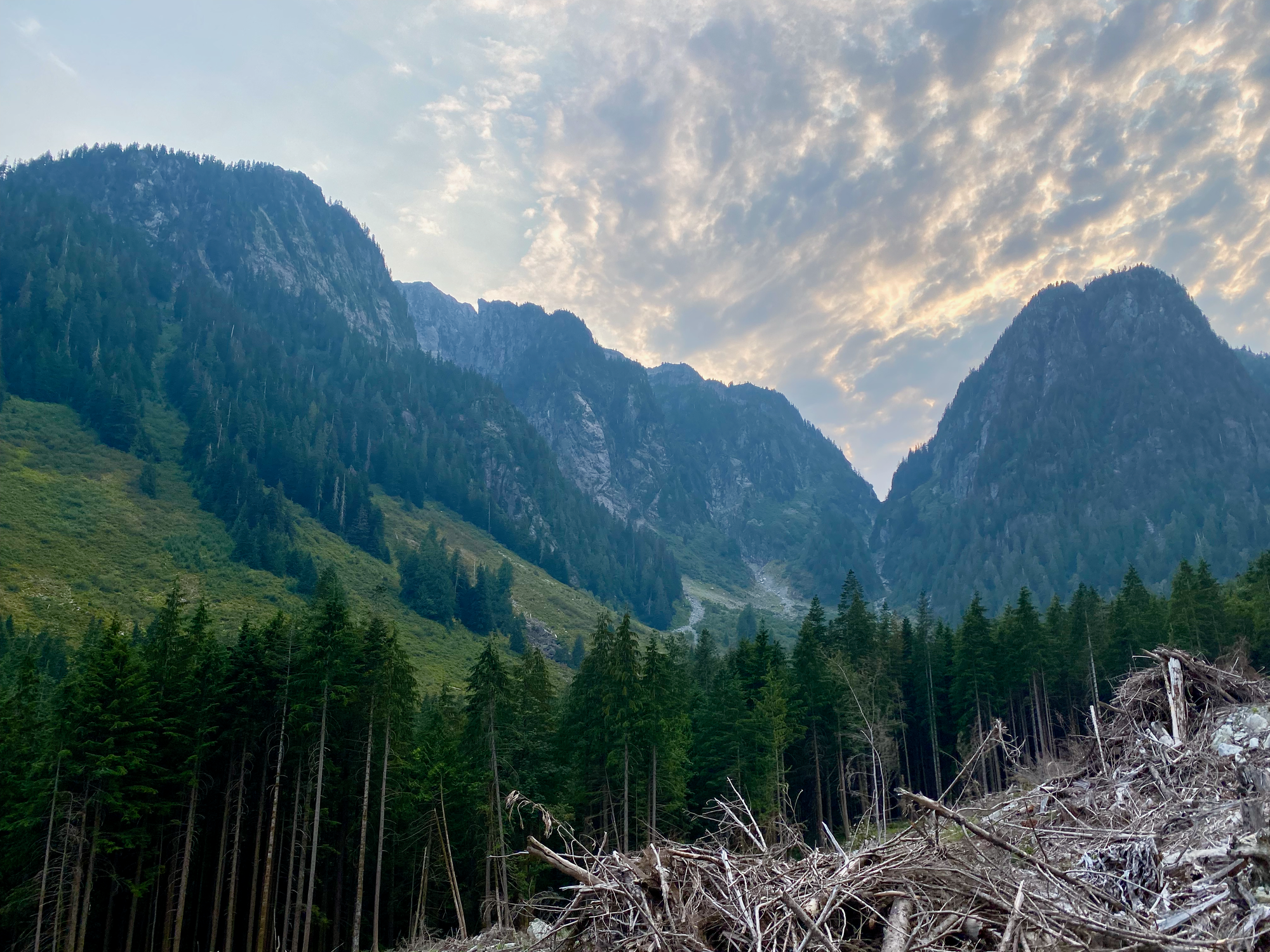
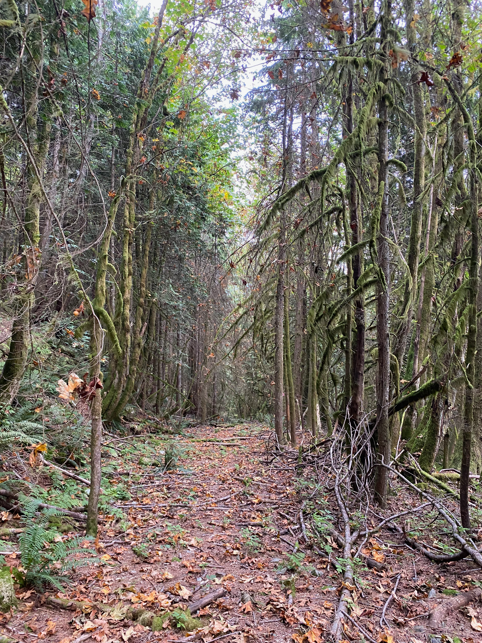
We walked along the FSR for a couple kilometres, then it ended in a clearcut and we walked into the woods. Sone bushwhacking was initially needed, but we soon found the faint trail, marked by orange and pink flagging tape. The trail soon connected with an old but easily navigable FSR, then left it and began a steep climb.
At about 950m the trail left the forest and entered a creek bed to the northeast. This was easy to miss.
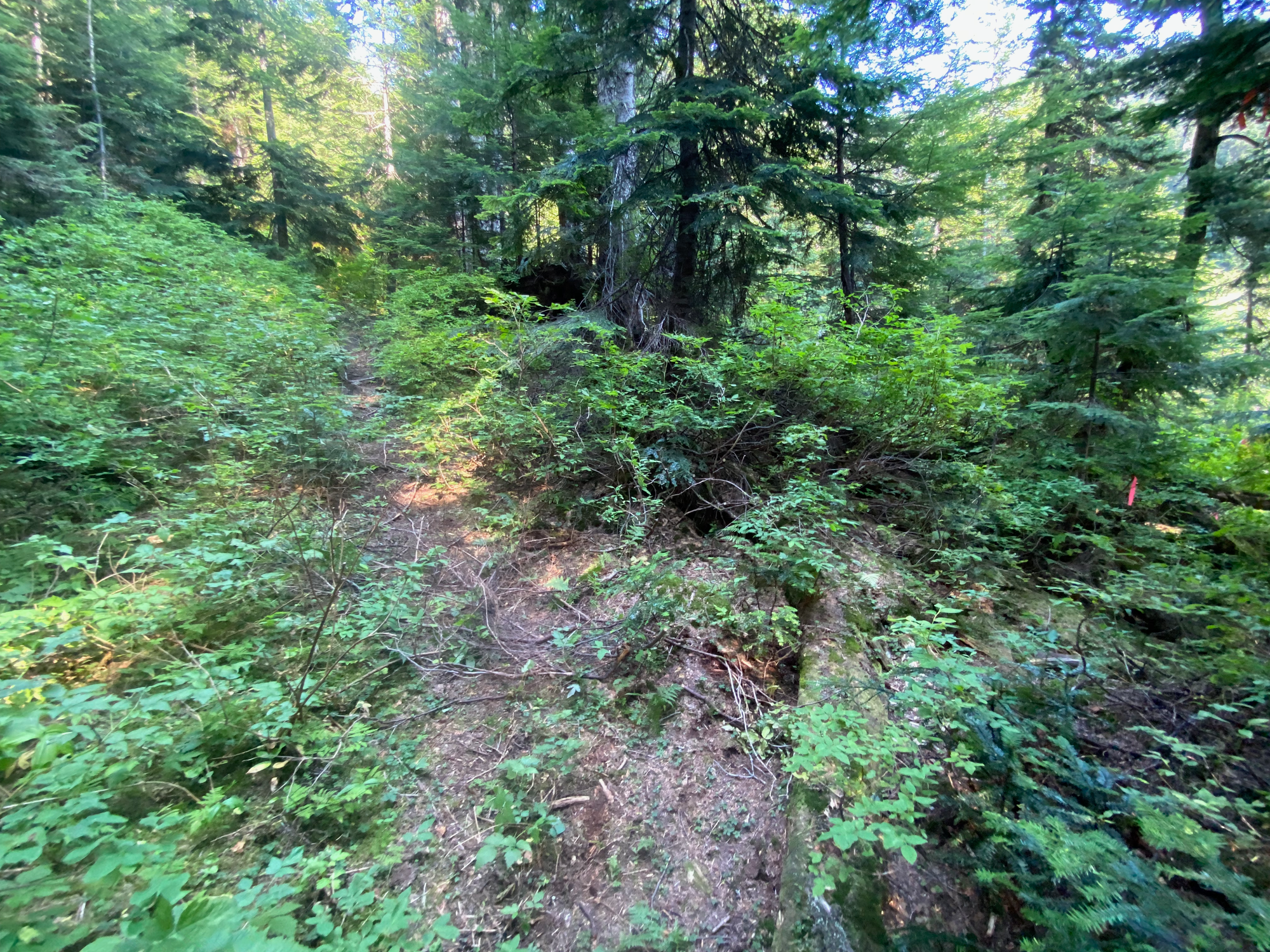
Shortly past that, the creek bed splits. The main trail follows the right (east) fork, but the turn wasn’t well flagged and we ended up on the left (west) fork, requiring us to bushwhack out of the valley at a small waterfall at 1100m, reaching a ridge between the two creeks. The real trail follows the right fork, then climbs to the ridge at 980m; we took this on the way back.
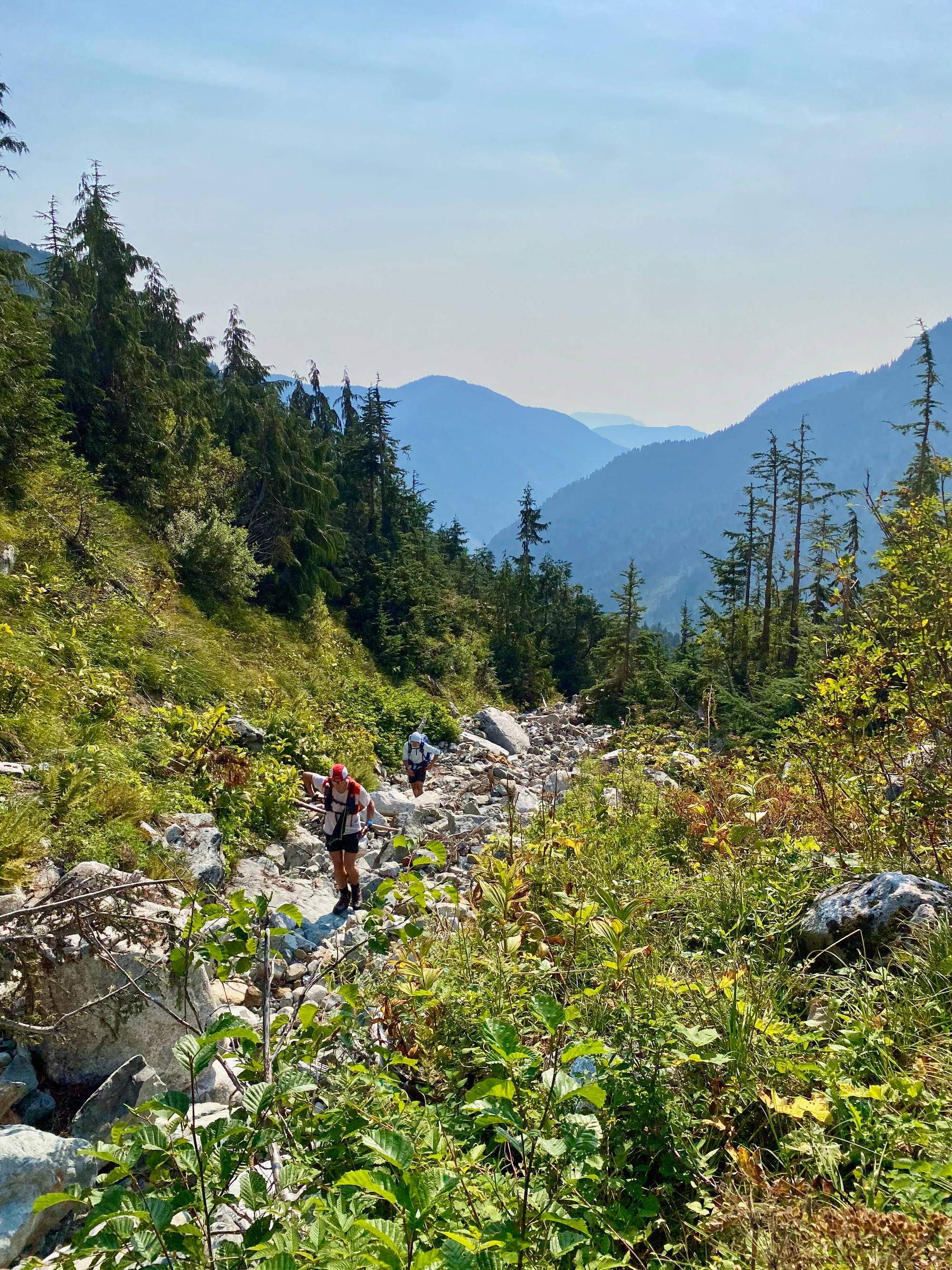
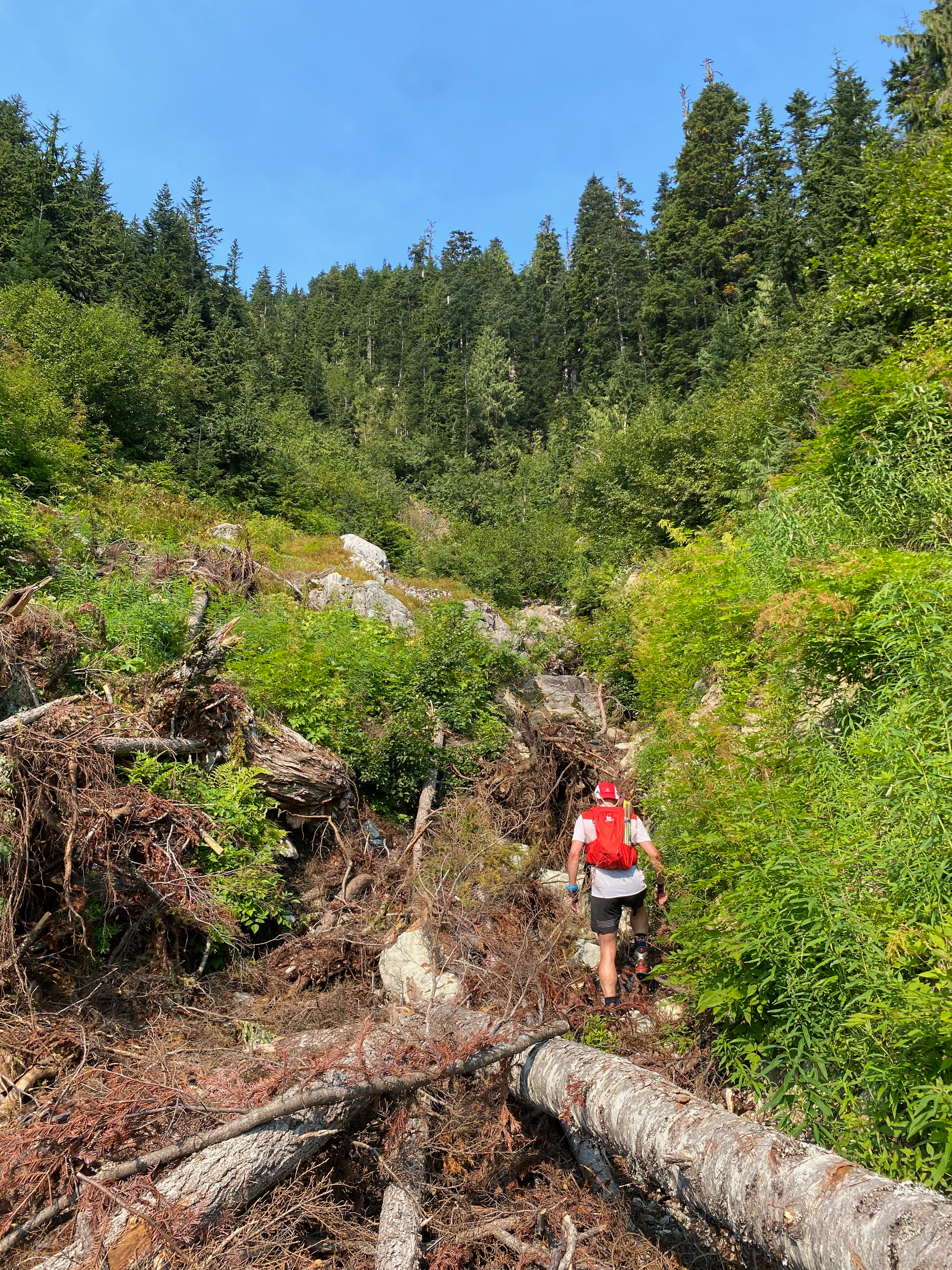
From there, the trail climbed up the ridge at an even steeper angle. Due to the dry conditions, the accumulated pine needles were quite slippery and veggie belaying was needed to stay on track. At one point we startled a bear, who promptly ran away, probably surprised to see humans up there.
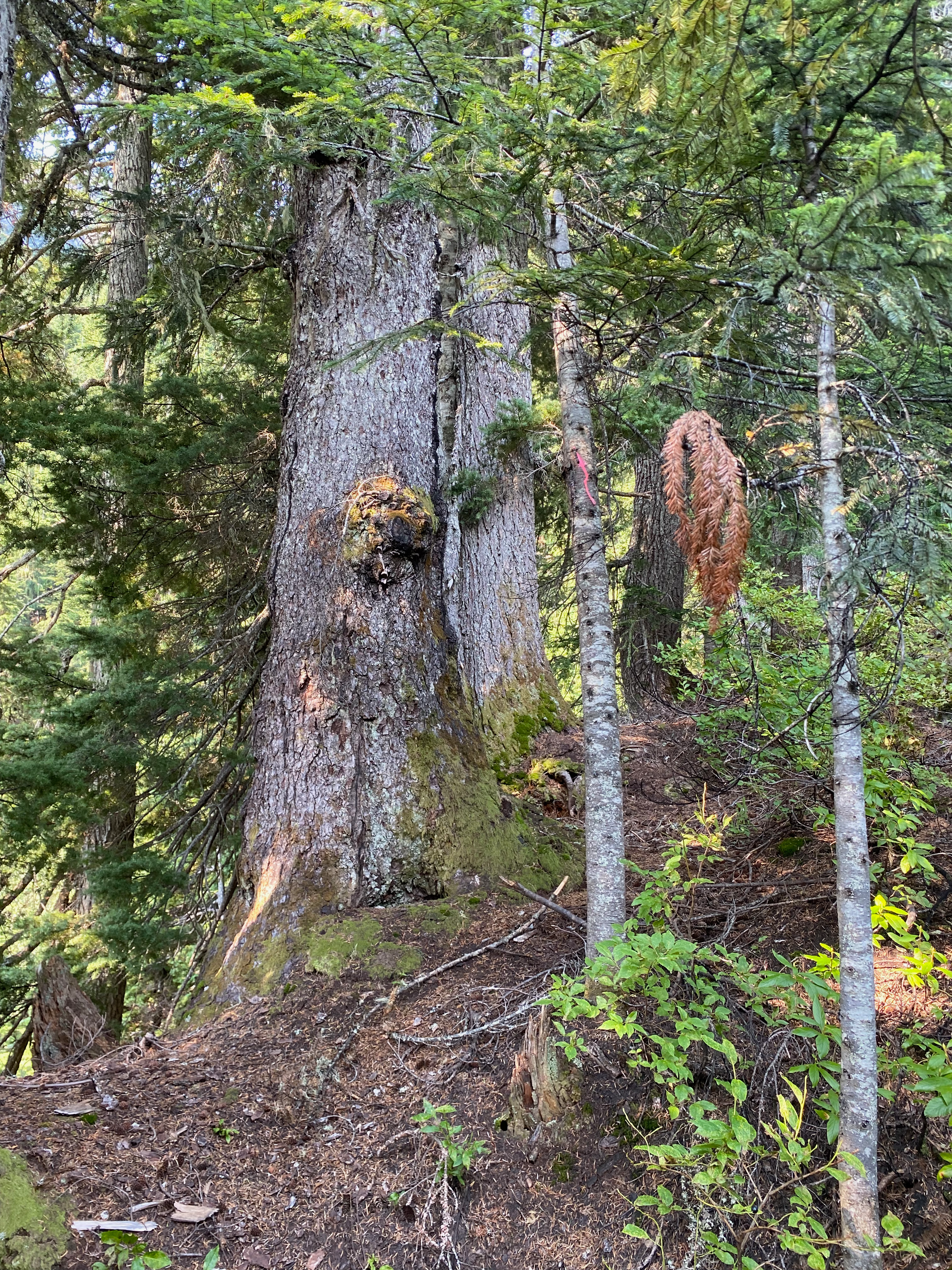
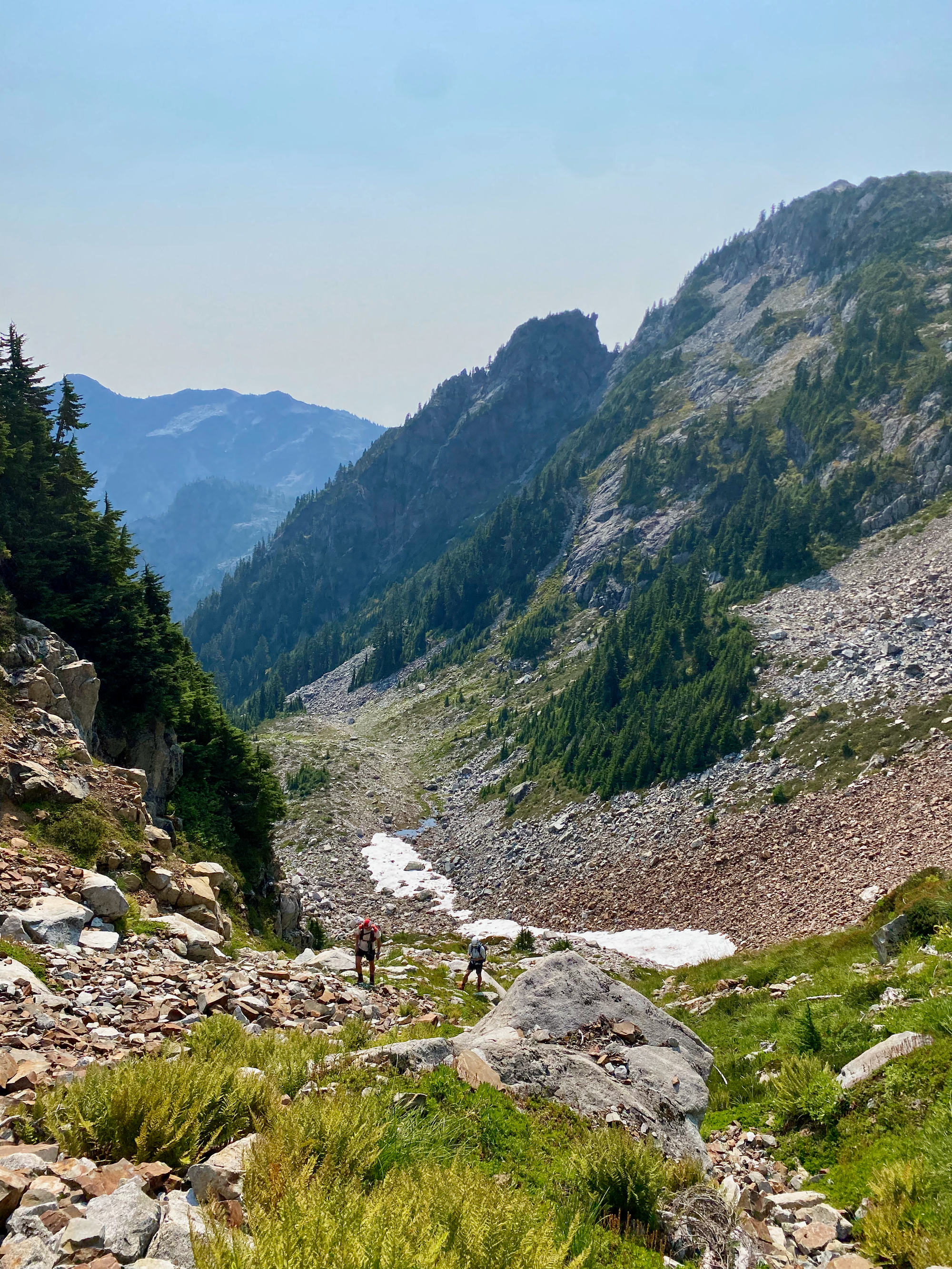
At about 1380m we reached a bowl below Tetahedron’s summit ridge. There is a small snowmelt-fed tarn here which would offer the last source of water.

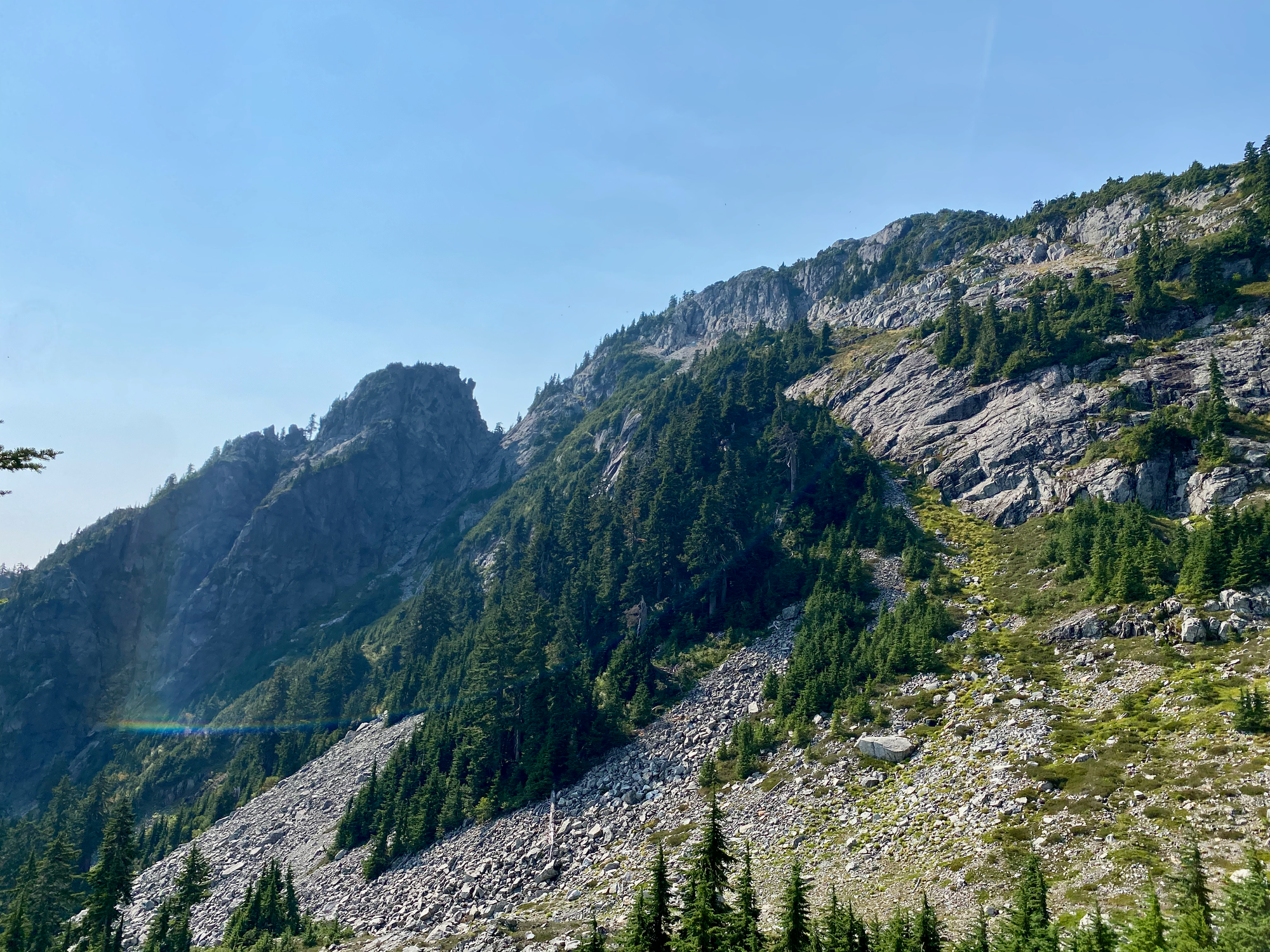
We climbed up a boulder field to the north to reach the base of the summit pyramid at about 1570m, had a short break, then began the final ascent. This involved long stretches of relatively easy Class 3 scrambling, mostly along slabs with little exposure. It would be a good 2nd or 3rd scramble for someone wanting to gain more experience.
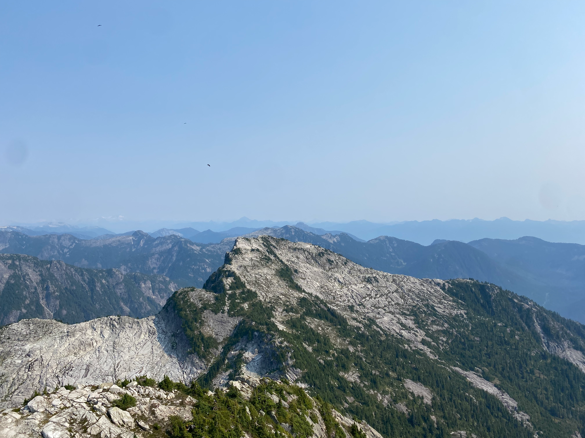
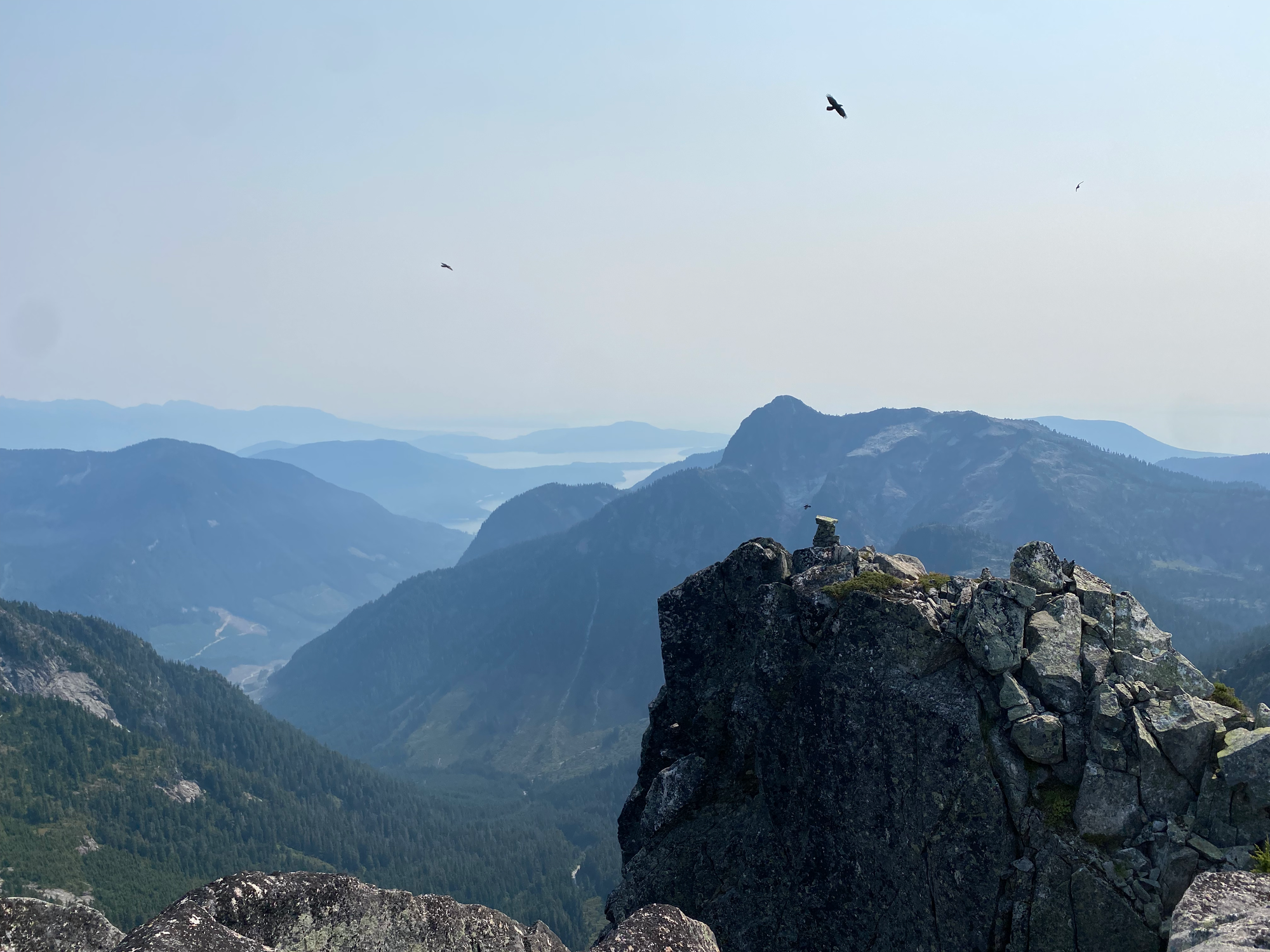
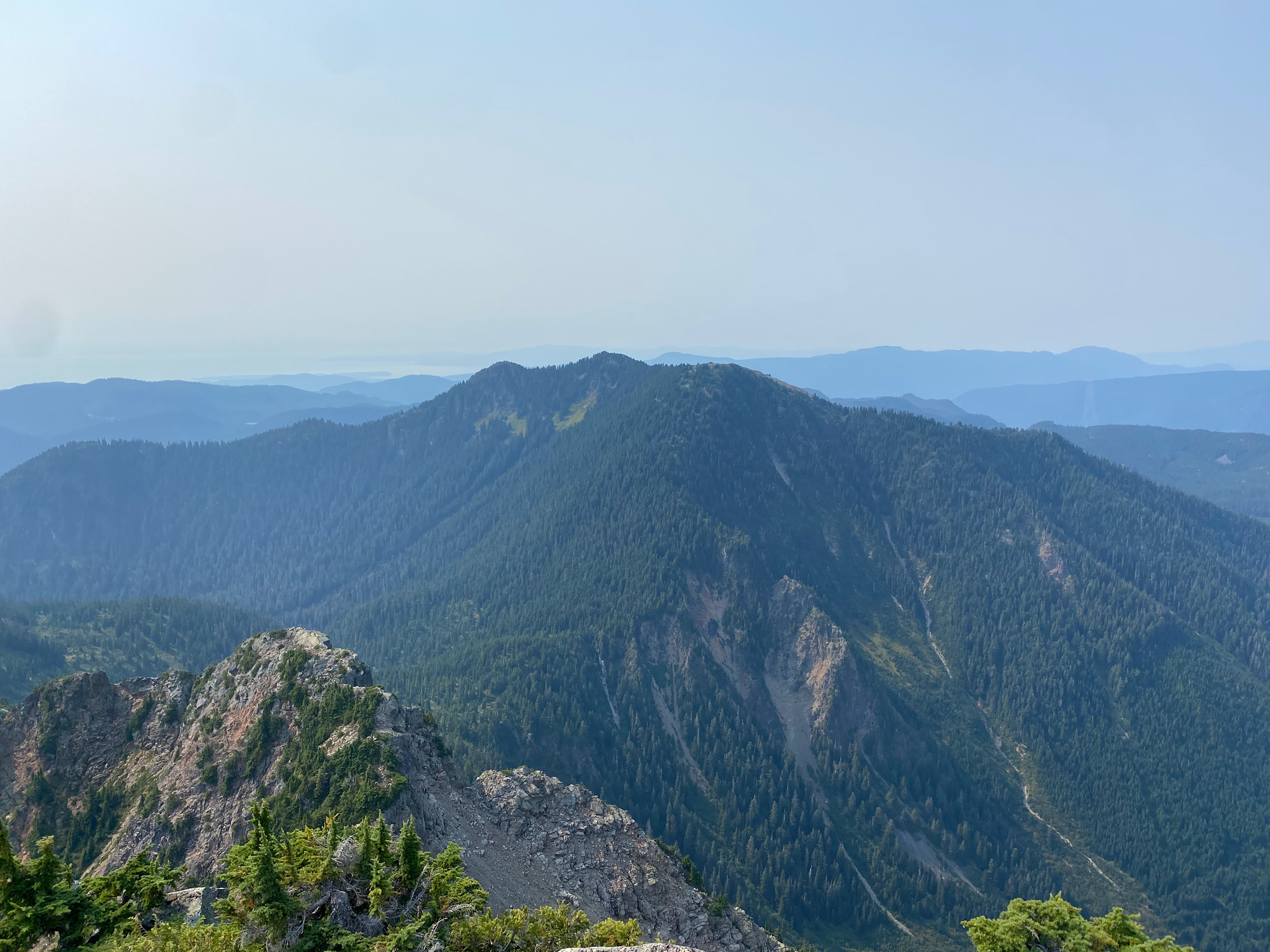
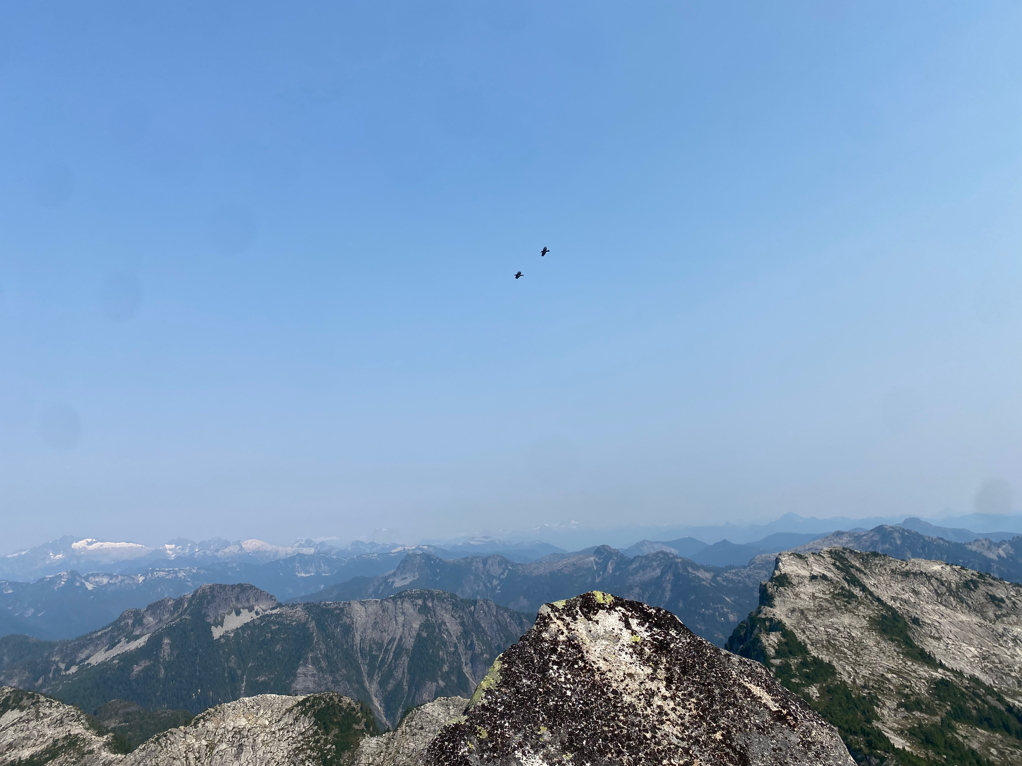
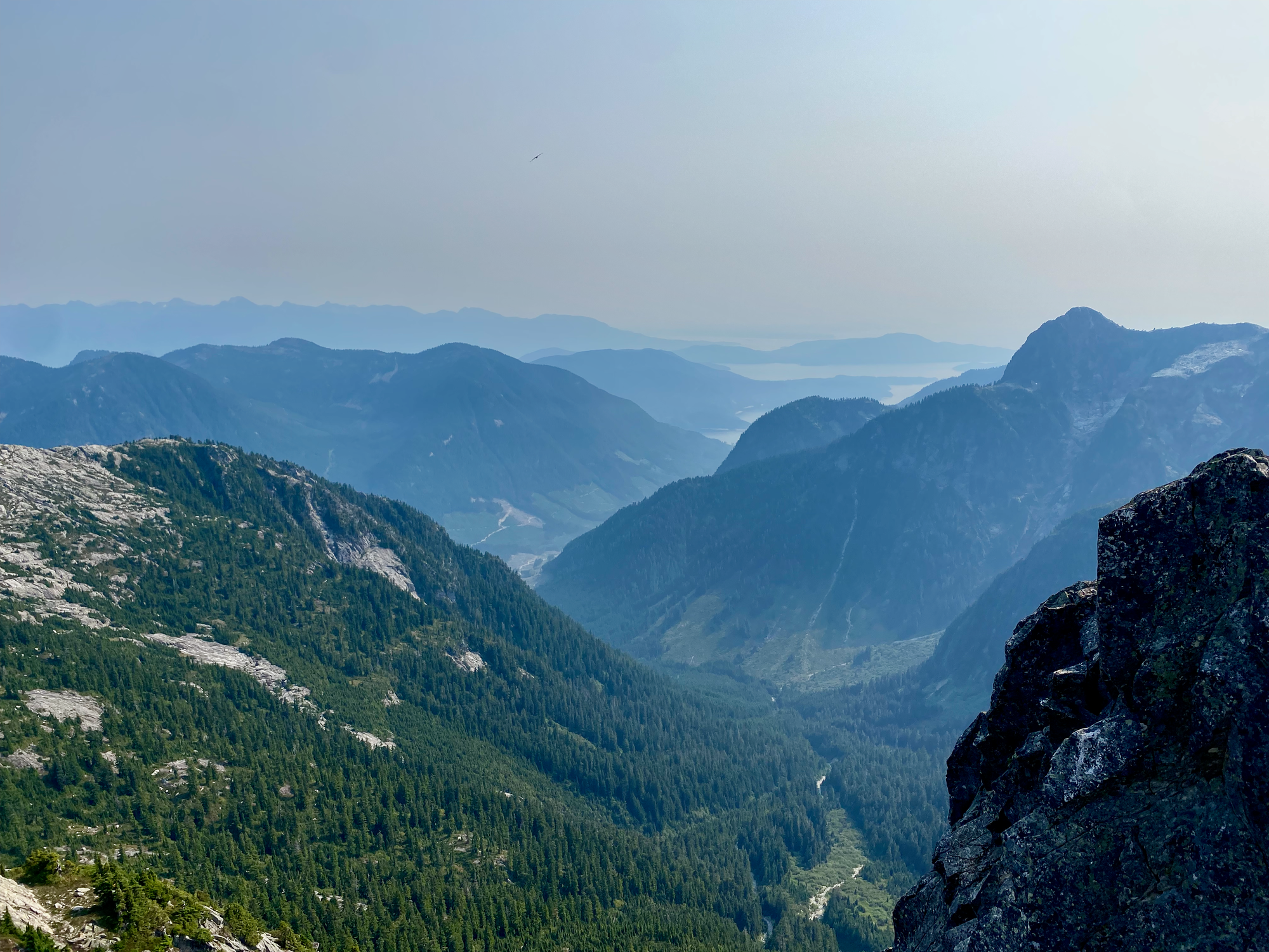
The air was quite hazy so views weren’t as extensive as they could have been, although we did get an impressive panorama of the Sunshine Coast, Tantalus Range, North Shore Mountains, and Howe Sound. Several ravens were circling around on the thermals, giving us a show.
We descended at a reasonably fast pace to make sure we’d get back in time for the 8:15 ferry, slipping and sliding on the needles on the steep section. After leaving the old FSR, we ended up off the main trail, partly because the orange and pink flags seemed to go in different directions. This spit us out at the edge of a cutblock, from which we rejoined the main FSR and quickly returned to the car. After a quick side quest to stash a bike for another adventure, we drove back to Langdale in time for the ferry.


Member discussion