Squamish-Sedgwick-Sunshine Coast Traverse
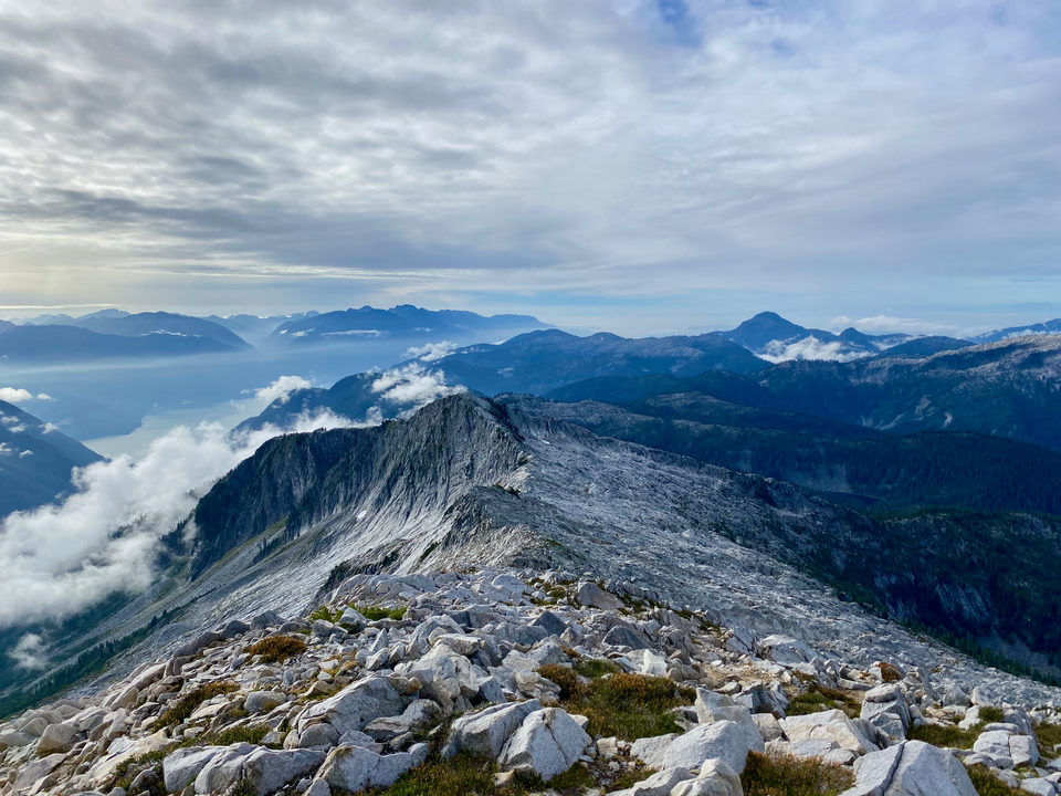
Date: Sept 19-23, 2024
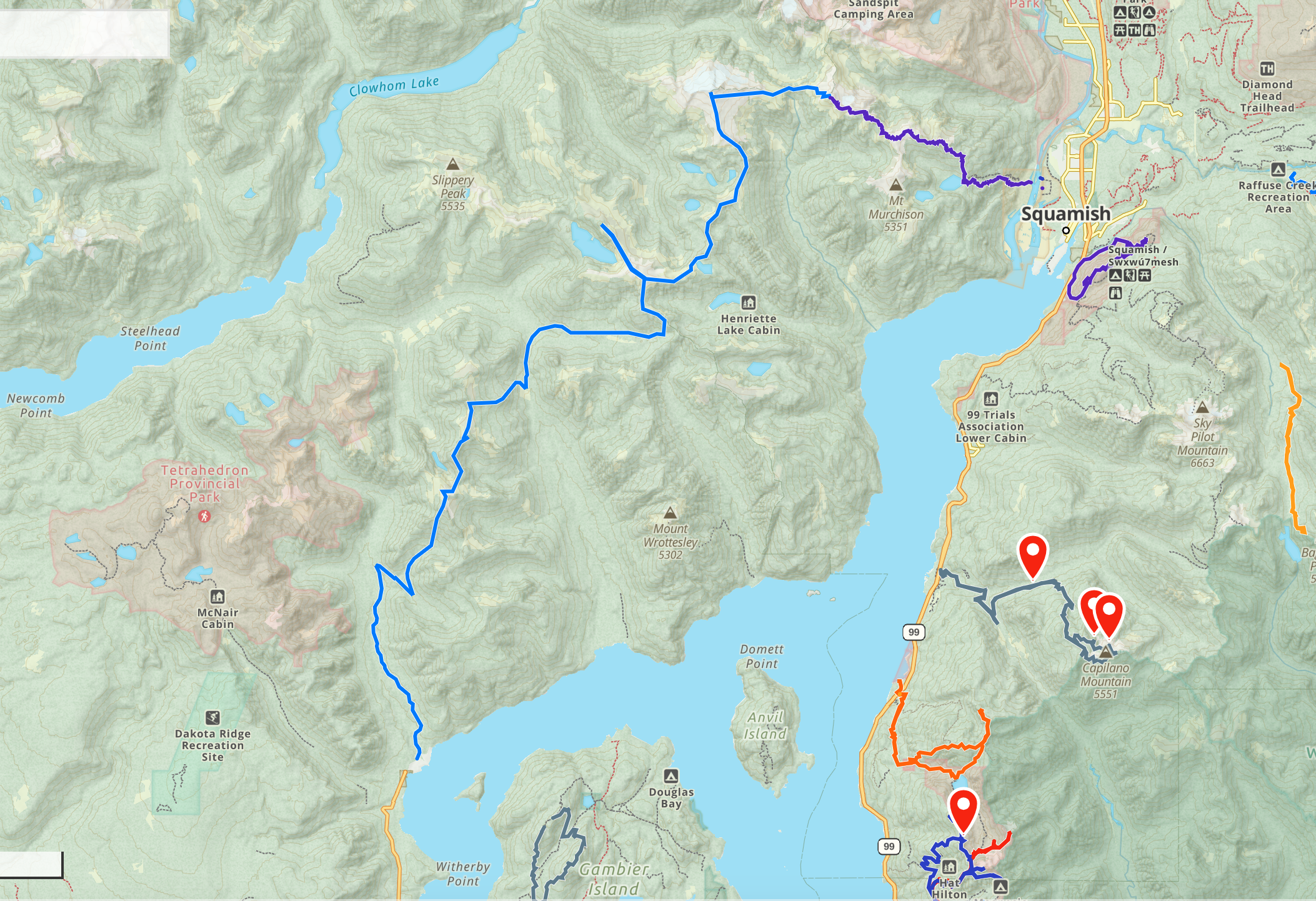
Distance: 76.21 km (including about 7km on bike)
Elevation gain: 5839 m
Peaks: Mt. Lapworth, Mt. Conybeare, Mt. Sedgwick, Mt. Roderick, “Henriette Peak”, Sechelt Ridge/”Nootka Peak”, West McNab Lion, Mt. Varley
Drivers heading north on the Sea-to-Sky Highway, and hikers on the Howe Sound Crest Trail, gaze west towards many remote peaks on the lower Sunshine Coast. These mountains appear in thousands of tourist photos, but no roads lead there, and the area remains unknown territory to almost all Vancouver hikers. From the Squamish side, one must cross the glacially fed and fast-flowing Squamish River to begin climbing. From the Sunshine Coast, hikers have to get past the gatekeepers at the Port Mellon pulp mill, ascend a thousand metres over Mt. Varley’s ridge, then descend again.
The crown jewel of this area is Mount Sedgwick, a 2000-metre pyramid towering over Howe Sound. There used to be a ferry from Britannia Beach to a mill at Woodfibre, at the end of the valley below the peak, but the ferry closed in 2006. More recently, the construction of a LNG plant at Woodfibre has further limited access. Hikers landing by boat are often questioned by patrols. Sedgwick is rarely climbed these days.
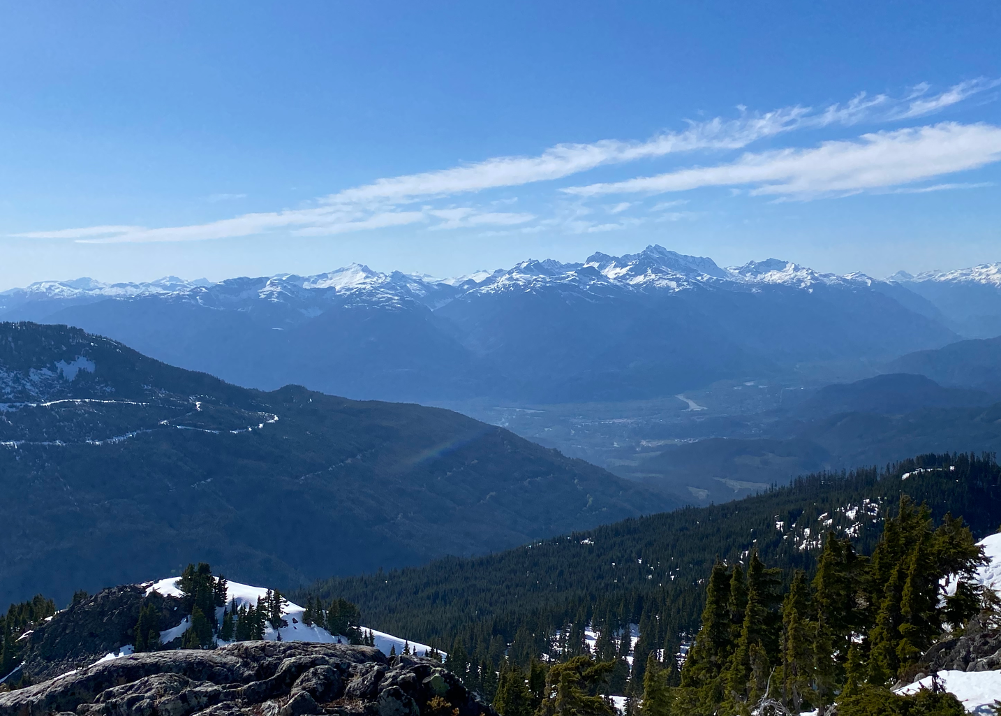
I was looking at ways to access Mt. Sedgwick without getting caught at Woodfibre, and noticed a system of ridges heading west from the southern reaches of the Tantalus Range. I could traverse from the Echo Lake Trail to Mt. Conybeare, then ascend Sedgwick’s eastern ridge. From there, several ridgelines would lead to logging roads, eventually reaching the Port Mellon pulp mill, which connects to the main Sunshine Coast road system. In fall 2023 Thomas Morrissey posted a trip report of this route on the SWBC Peak Baggers Facebook group; his information was very helpful when planning this trip.
Sept. 19: Squamish -> Lapworth/Conybeare ridge
I took the Squamish Connector bus to downtown Squamish and walked down Spit Road to the Squamish River. I spent some time on the beach wrapping important belongings in garbage bags, inflating a newly bought Canadian Tire inner tube - this took a while - then tying my backpack to the tube with paracord. My original plan was to tie rope around my waist, attach the other end to the raft, and swim across.
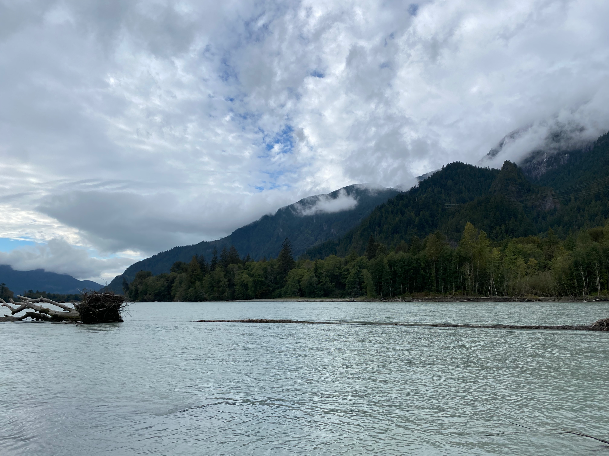
In the distance a fish jumped in the water. A seal appeared and started to chase the fish. This didn’t bode well for the swim: if the seal got to my inner tube I’d be in big trouble. Not wanting to become the first person injured by a marine mammal on a mountaineering trip, I waited for a few minutes to see if the seal would leave. Eventually some paddleboarders came floating down the river and I hitched a ride with one of them (thanks, Carlos). The current was strongest on the western side and the inner tube was caught in an eddy for a few seconds.
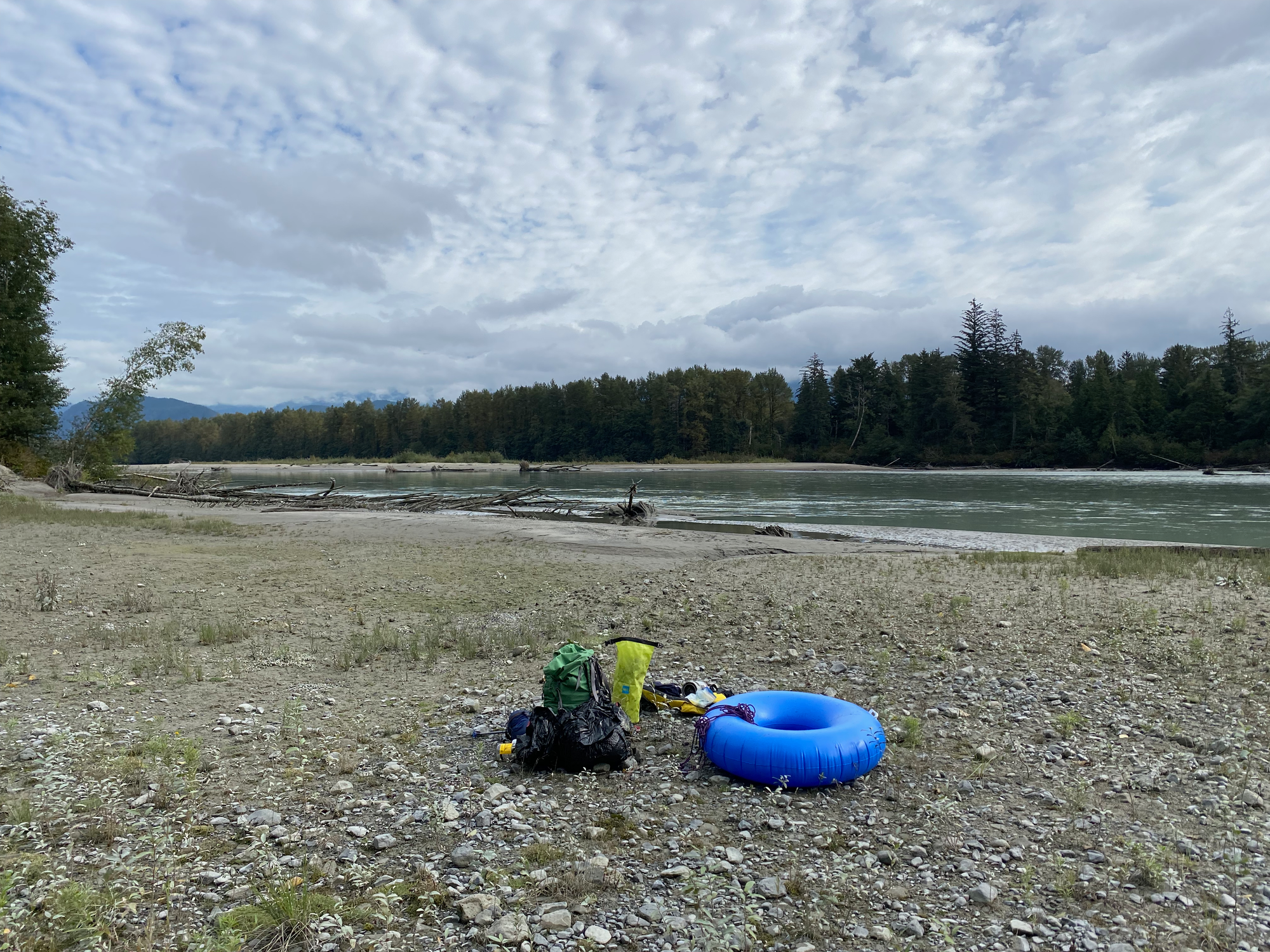
I strapped my life jacket to the outside of my backpack. The inner tube wouldn't fit in the pack, so I decided to give it away to the next visitor. I wrote "FREE" on the inner tube and tied it to a tree root in an obvious place. One of the many hikers, paddleboarders, or kayakers visiting this popular trailhead would hopefully keep it for themselves.
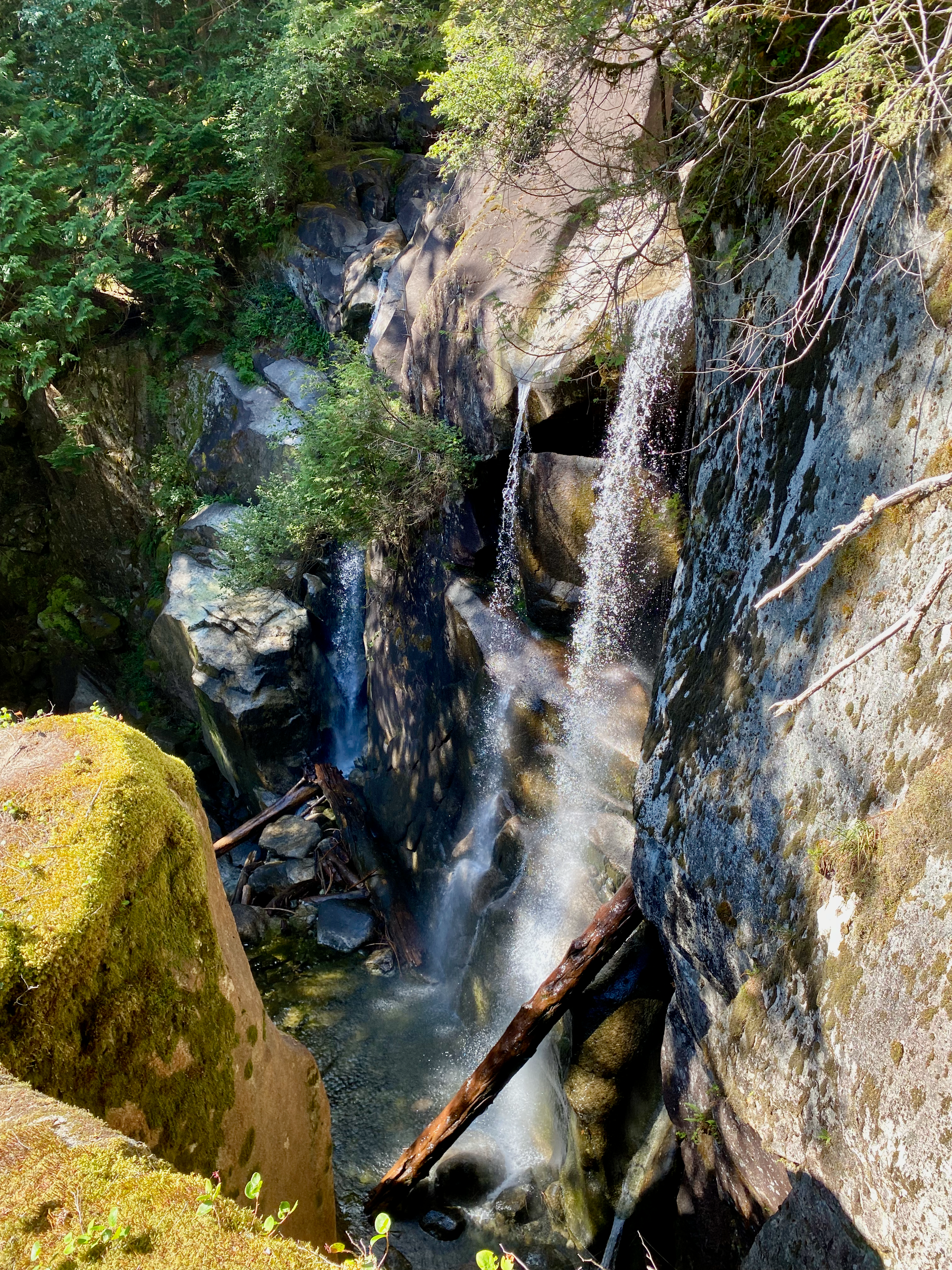
The adventure had begun! I hiked up the Echo Lake Trail to its namesake lake. The trail followed Monmouth Creek past deep granite pools, tall cascades, and granite sculpted into surreal shapes. The second half of the hike featured some cool basalt rock formations.
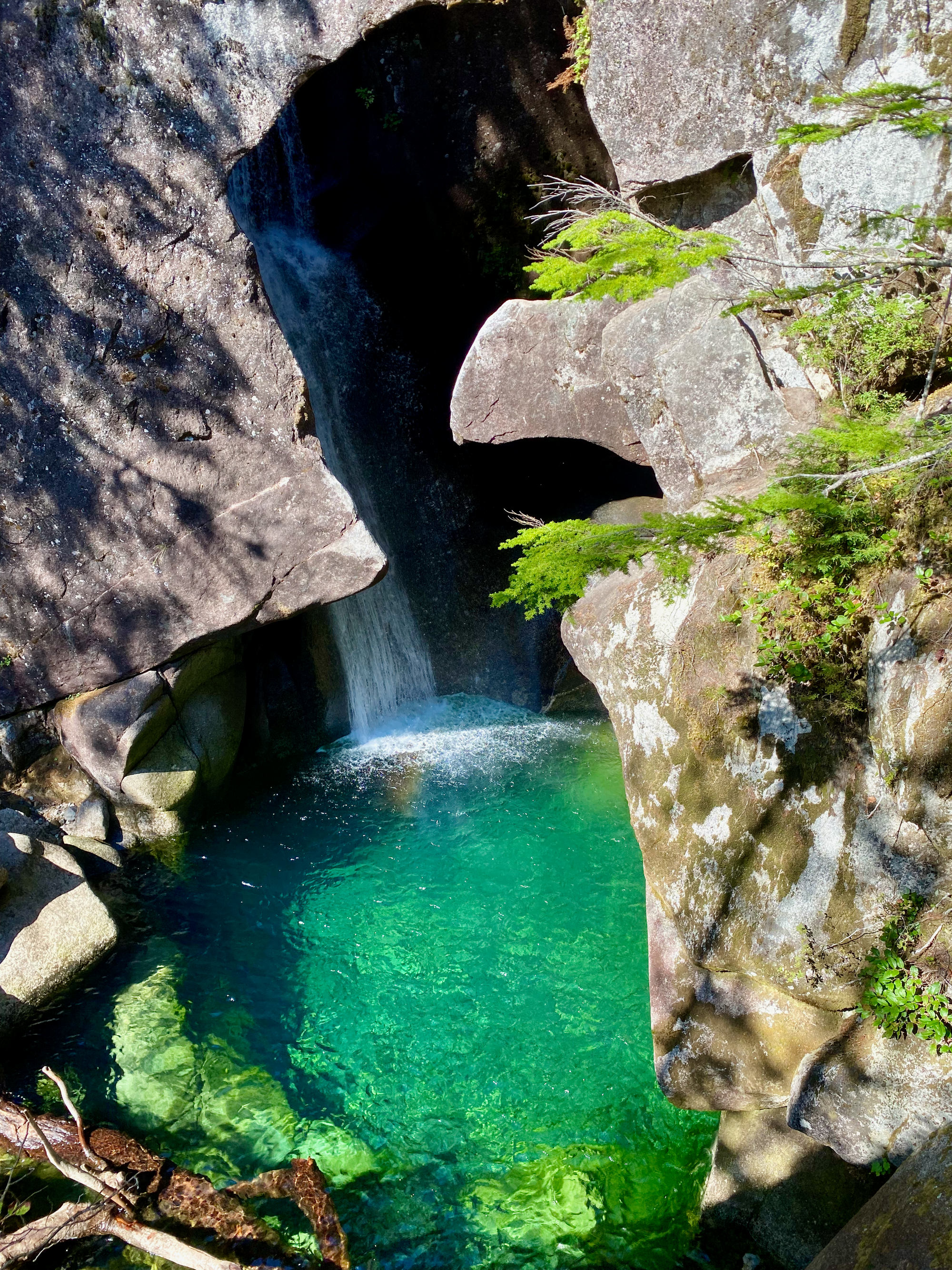
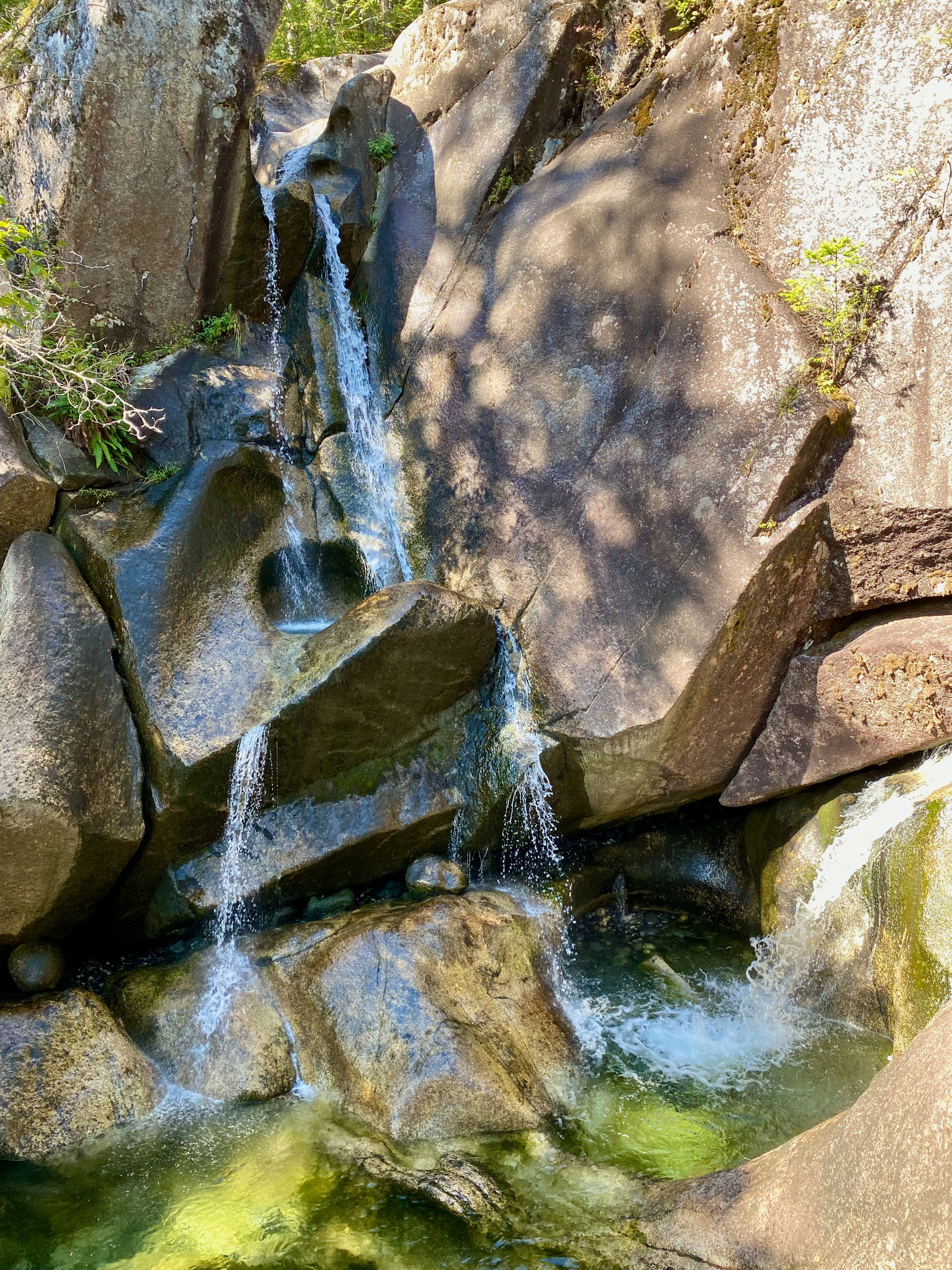
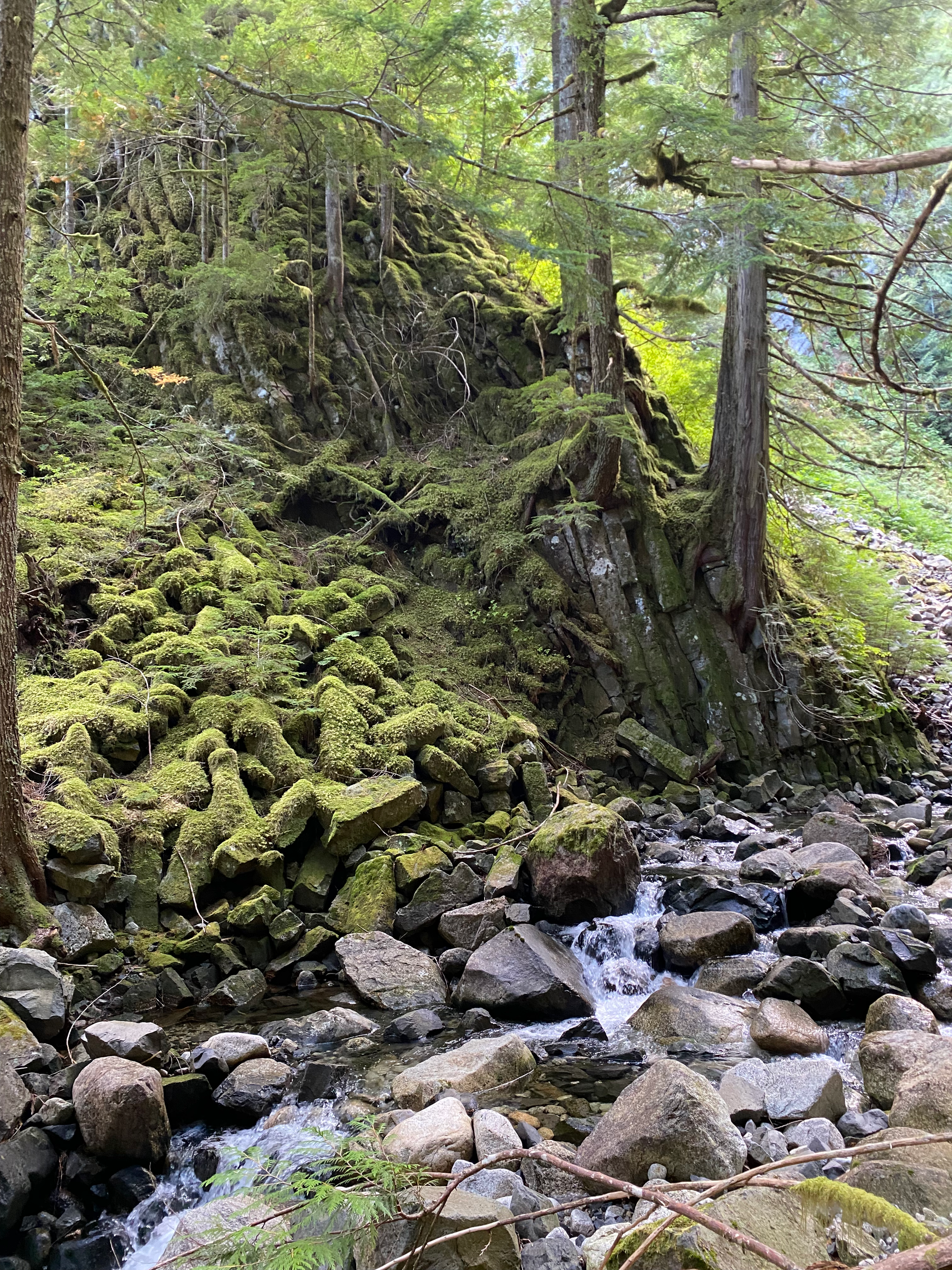
The lake itself was surrounded by peaks and offered several campsites. Clouds rolled in as soon as I arrived there.
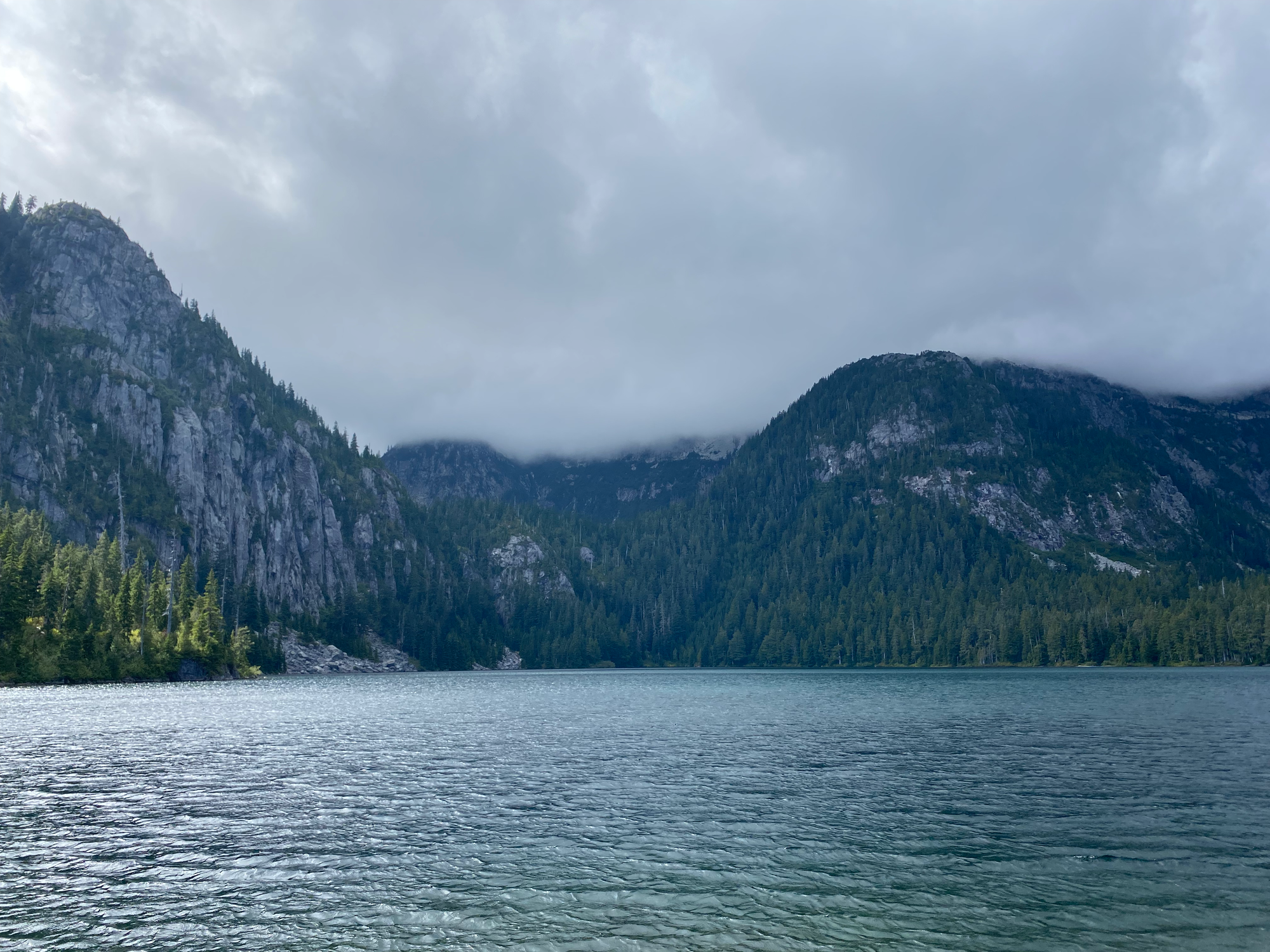
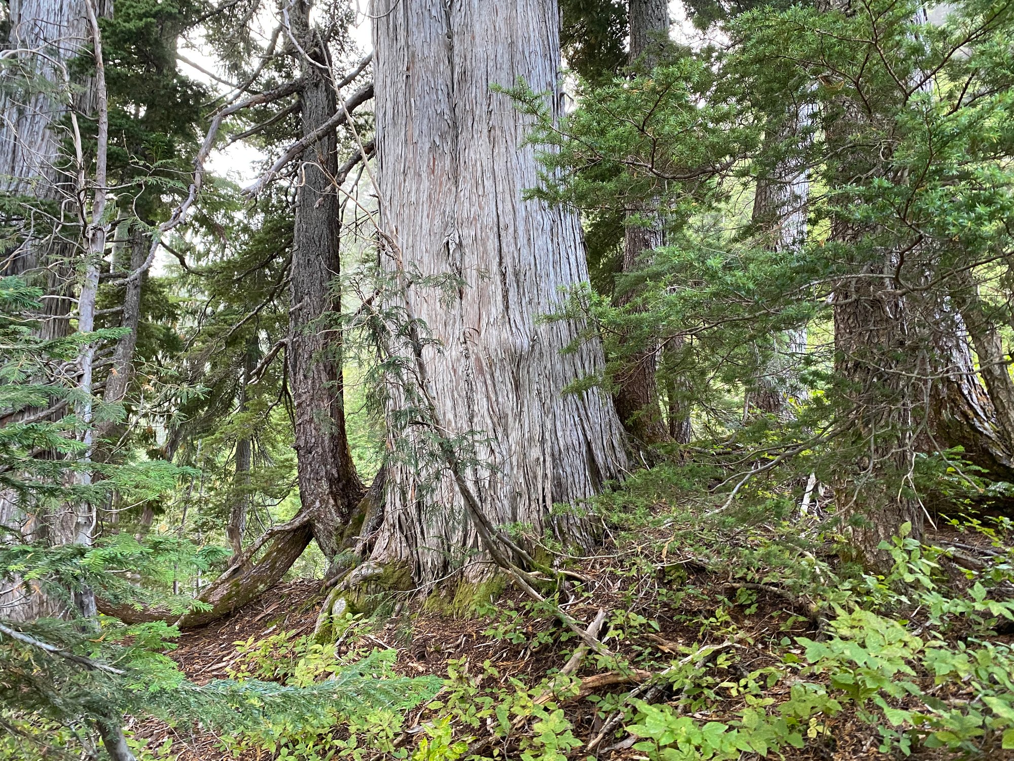
I bushwhacked up the eastern ridge to Mt. Lapworth. There was a faint trail in places with occasional flagging, but for the most part I was bushwhacking. It was pretty easy by coastal BC standards (mostly old growth) except for one cliff band around 1400m.
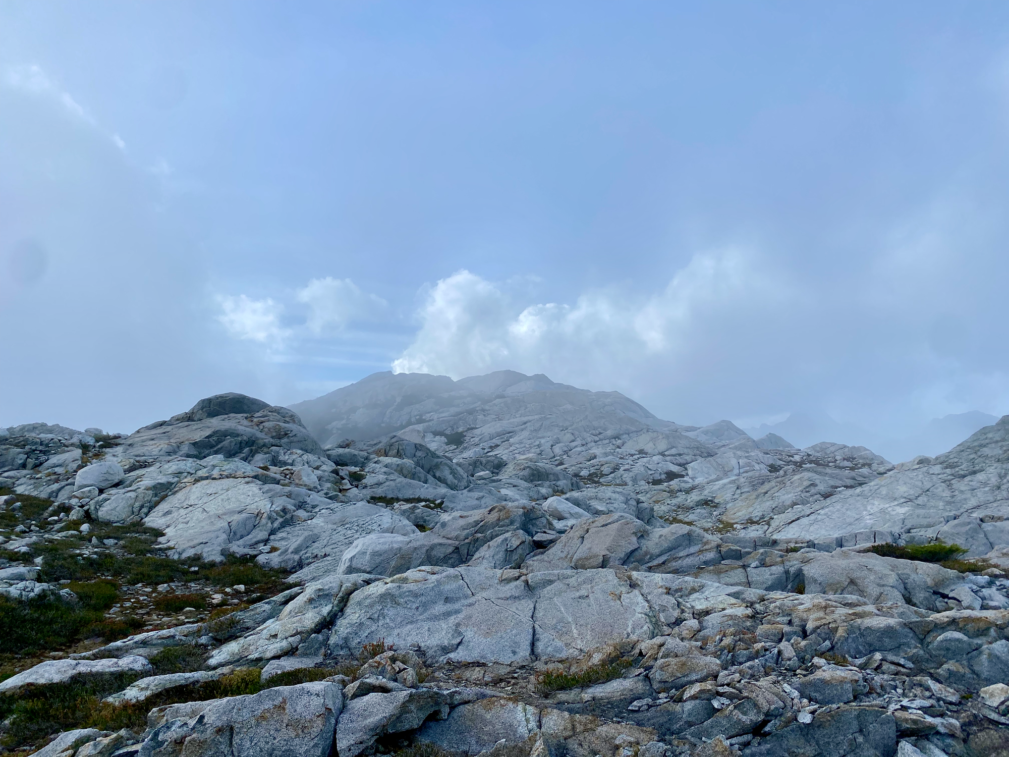
The summit of Lapworth was a granite dome. Through the clouds I caught glimpses of the southern Tantalus Range and an interesting perspective on Squamish. A circle of rocks surrounded the lid of a summit register container, but the rest of the container and the logbook itself were nowhere to be found.
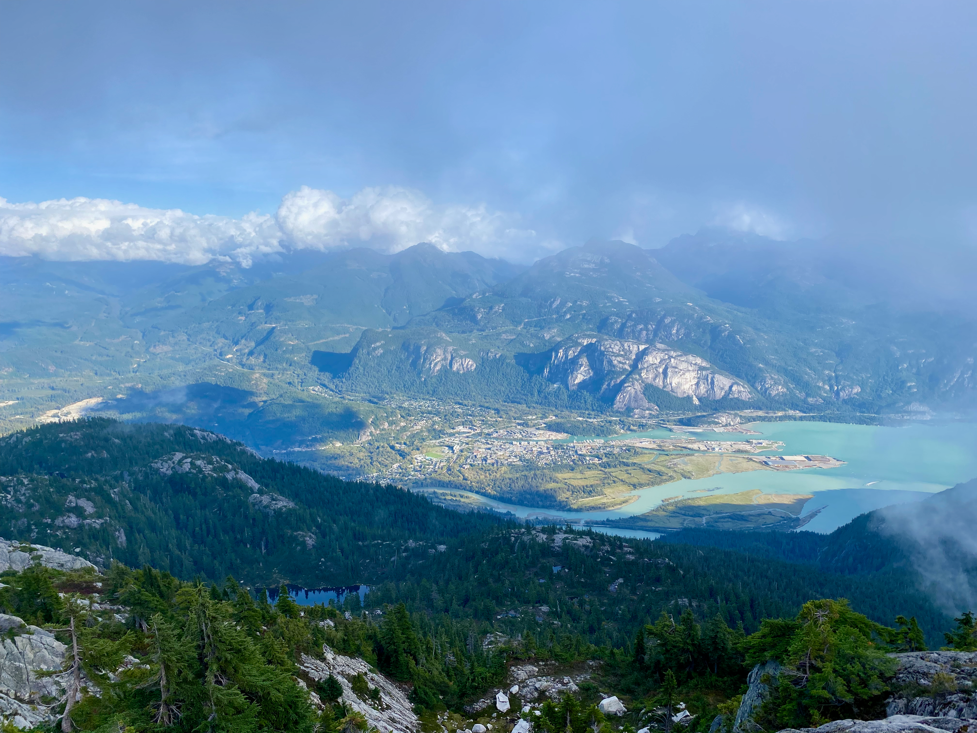
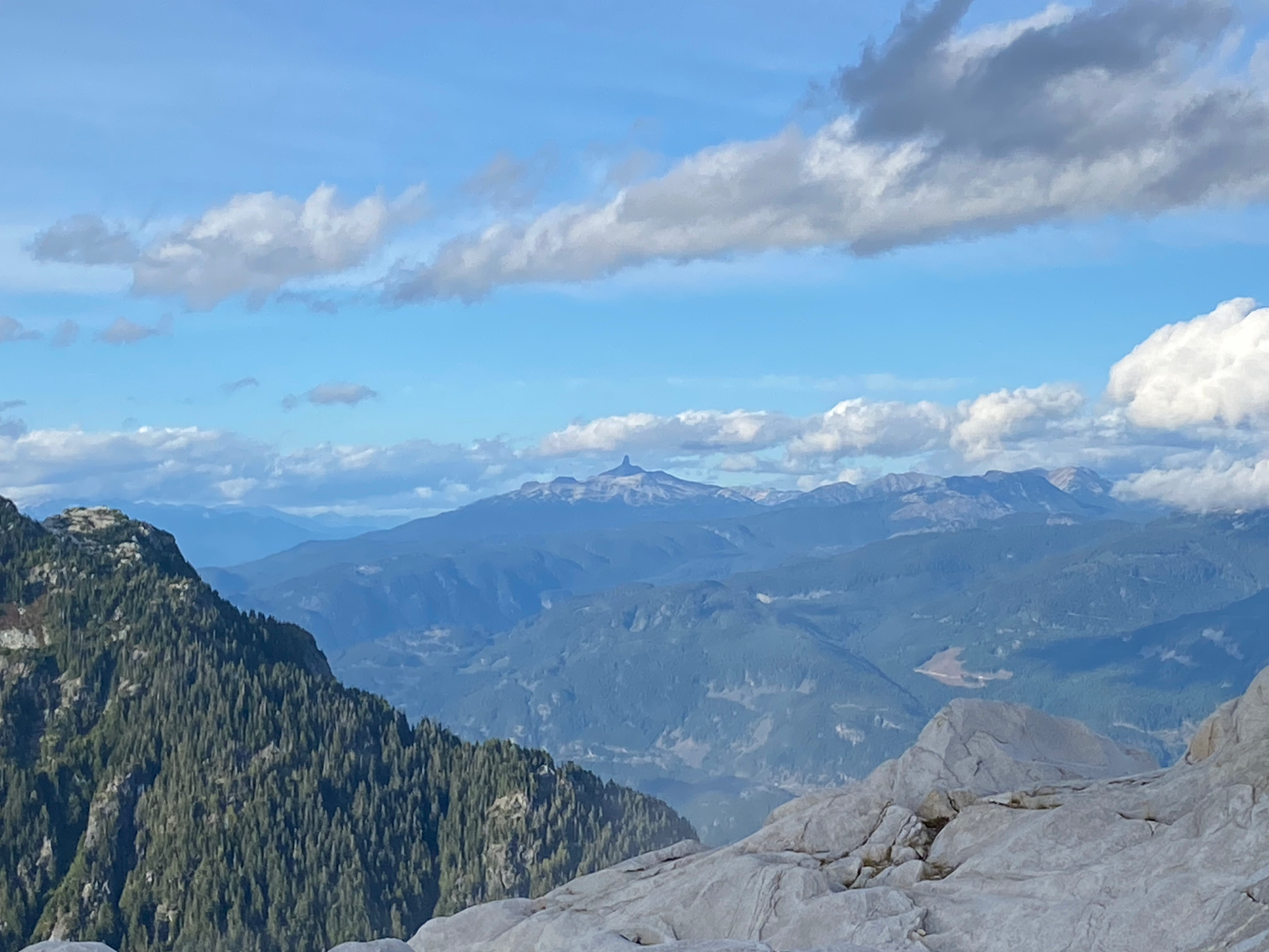
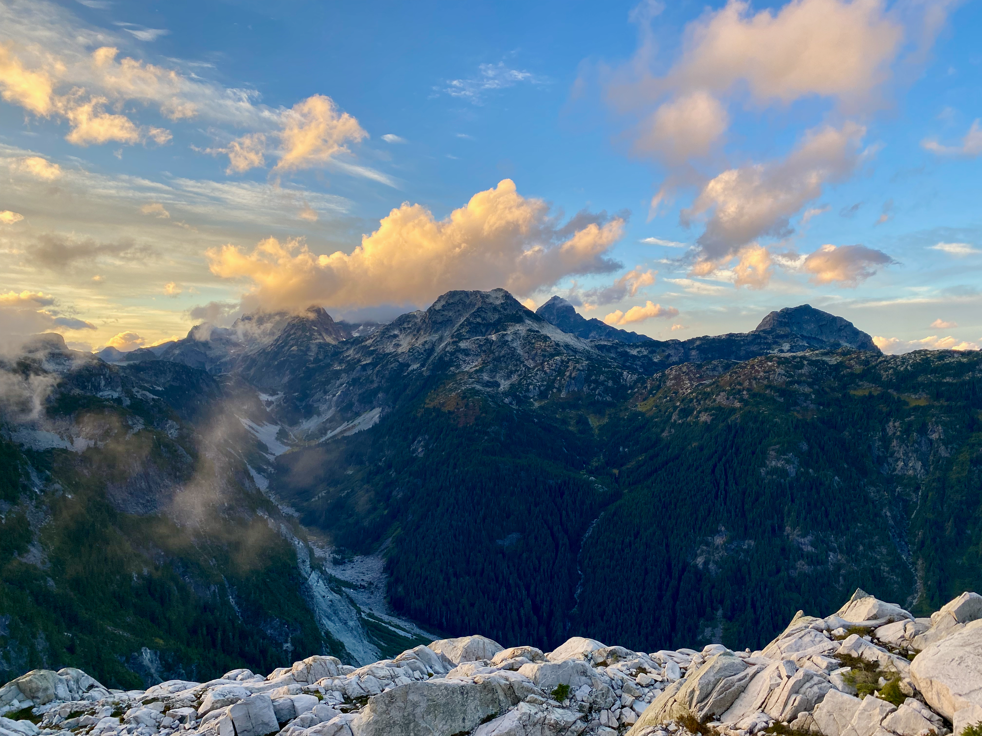
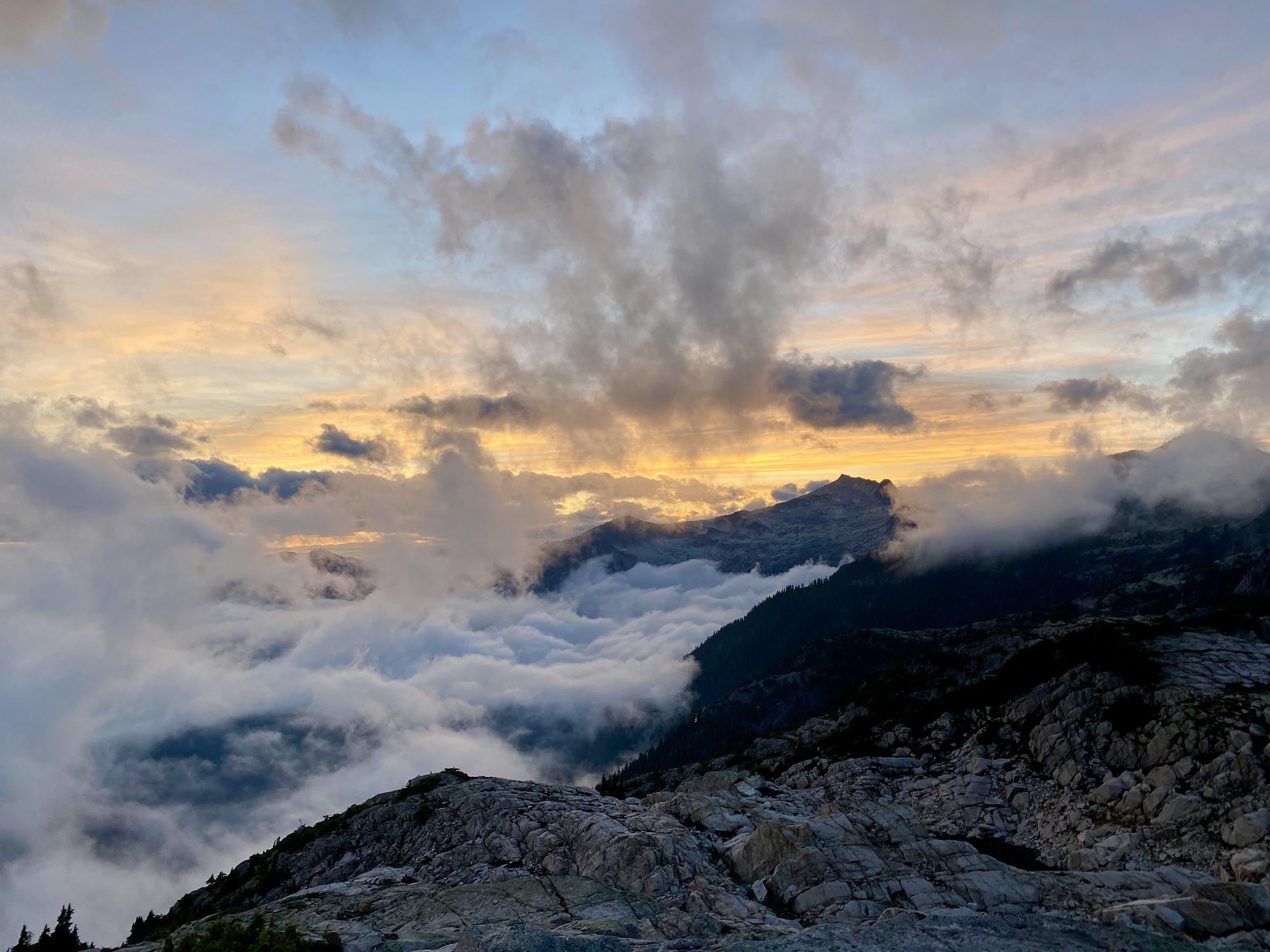
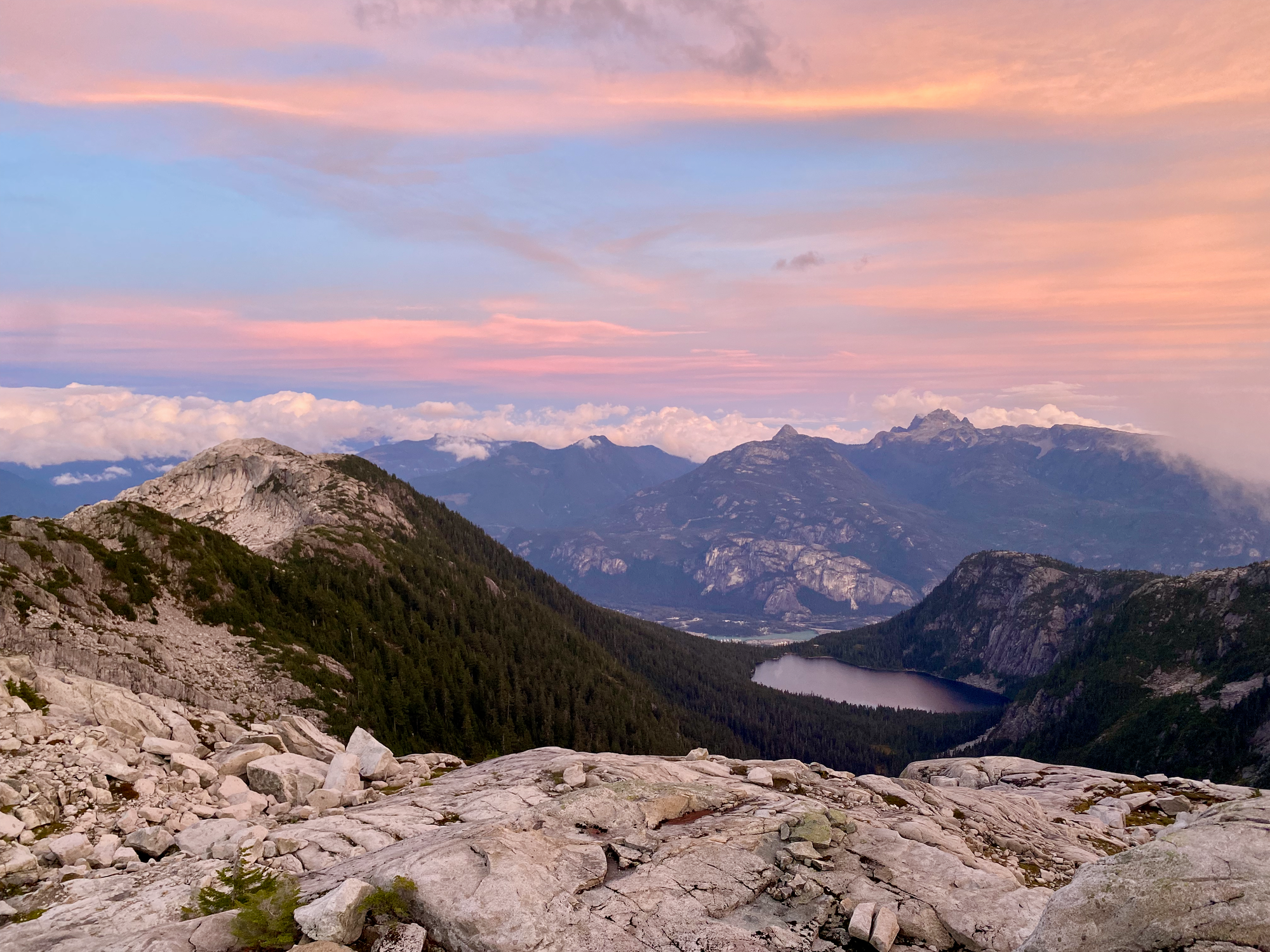
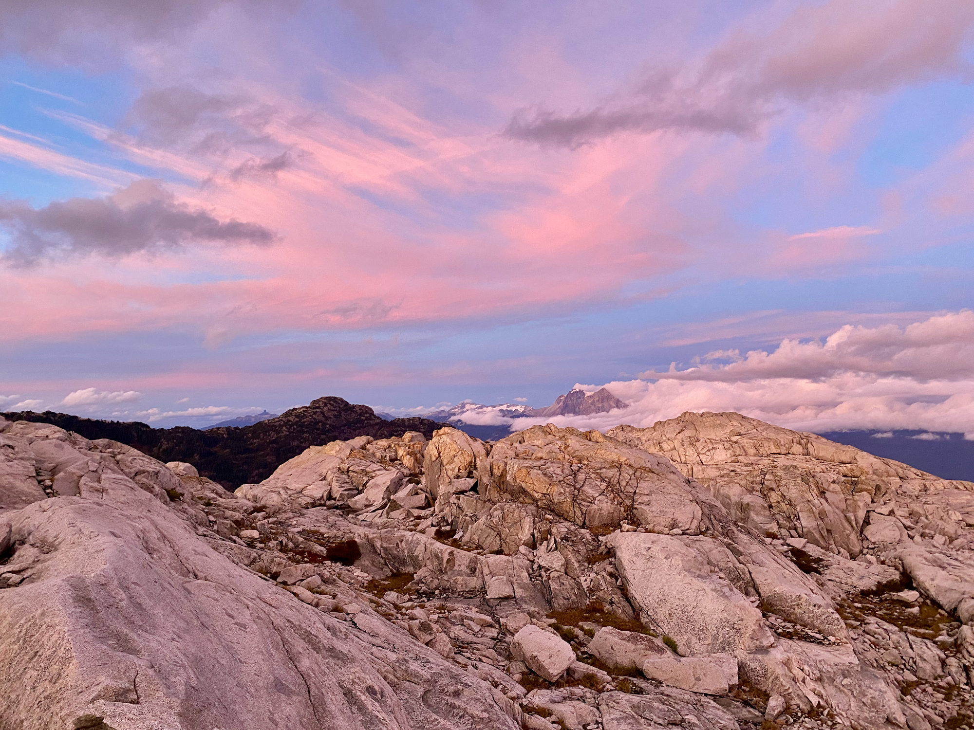
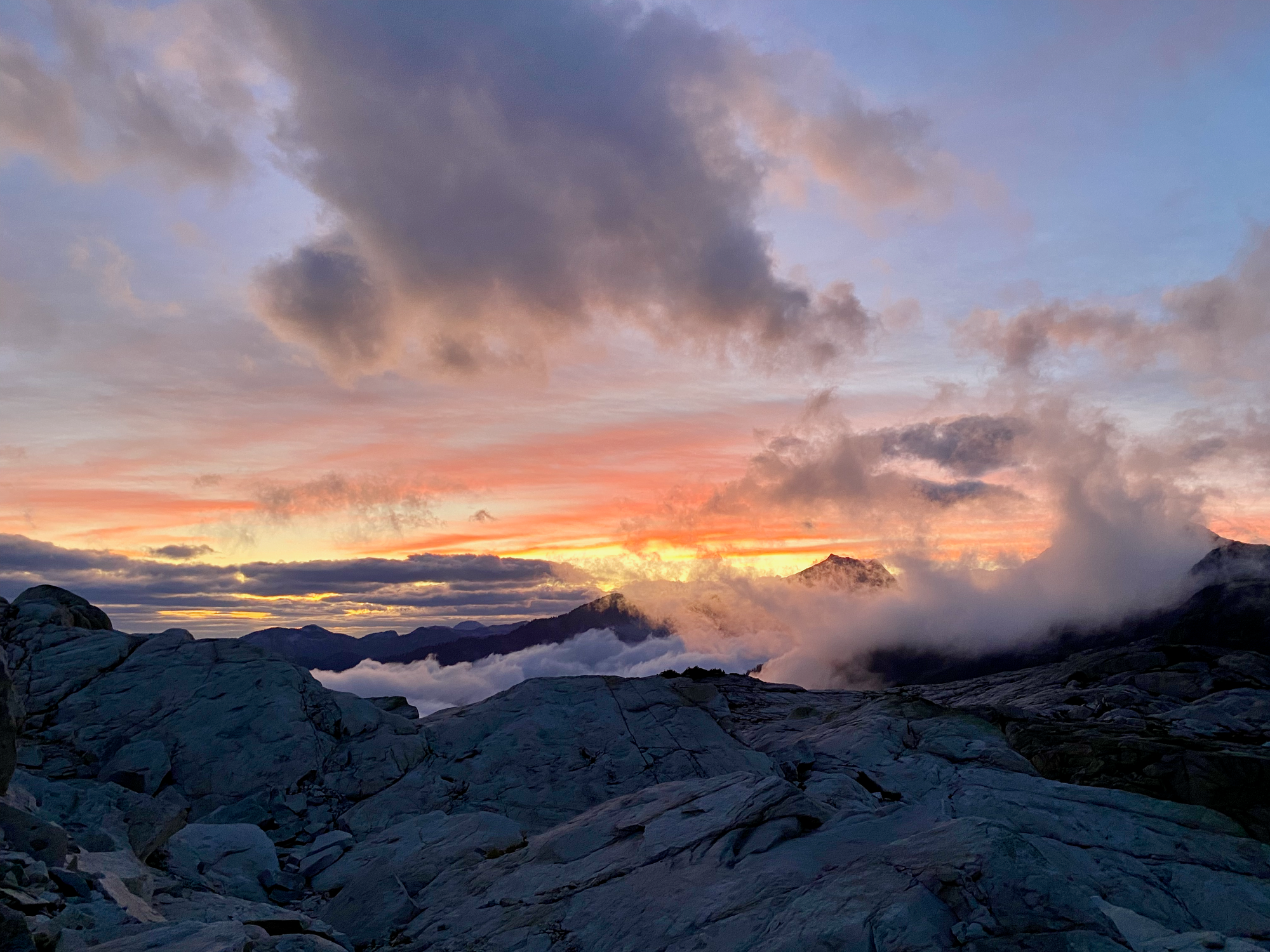
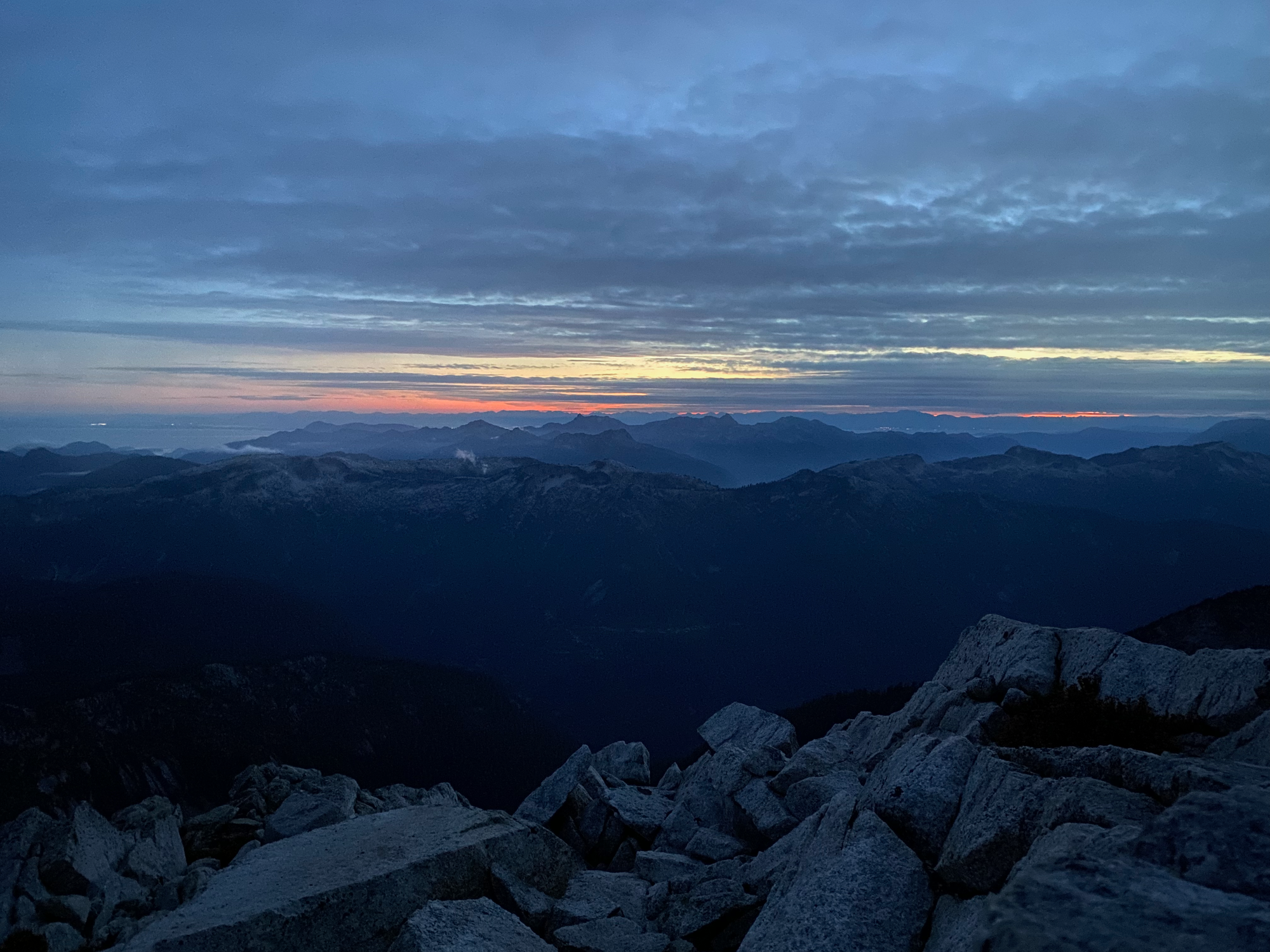
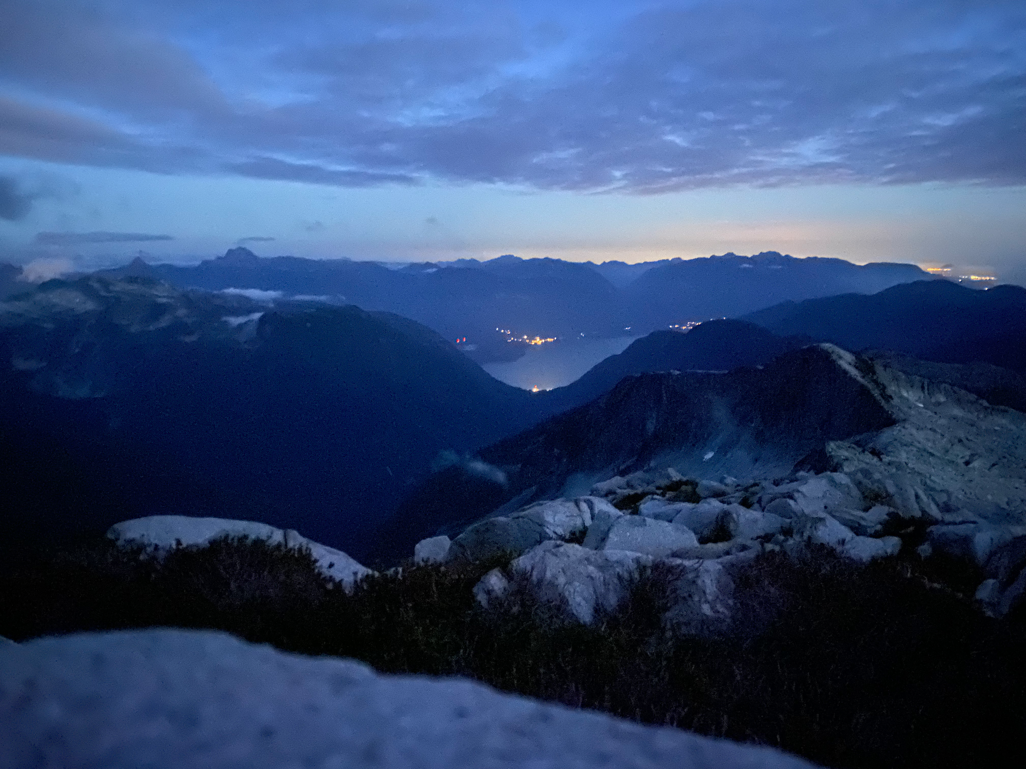
There was still about an hour of daylight left so I continued to the Lapworth-Murchison col and set up camp there. It was mostly easy ridge walking with a couple Class 2-3 sections. Just before sunset, the clouds cleared and I saw Mt. Sedgwick for the first time on this trip. Sunset was spectacular with a sea of clouds in the valley below Sedgwick.
Sept. 20: Lapworth/Conybeare ridge -> Mt. Sedgwick
I continued along the ridge from the Lapworth-Murchison col to Mount Conybeare. The ridge consisted of several tedious small peaks that had to be negotiated, either by climbing up and over or bypassing the bumps to the south/west. Some bushwhacking was needed here, and there were short sections of class 3 scrambling. The trickiest routefinding was on the descent immediately before Conybeare, and the ascent up Conybeare itself. To make things more exciting, a whiteout rolled in at that point and didn’t let up for a while, making routefinding tricky.
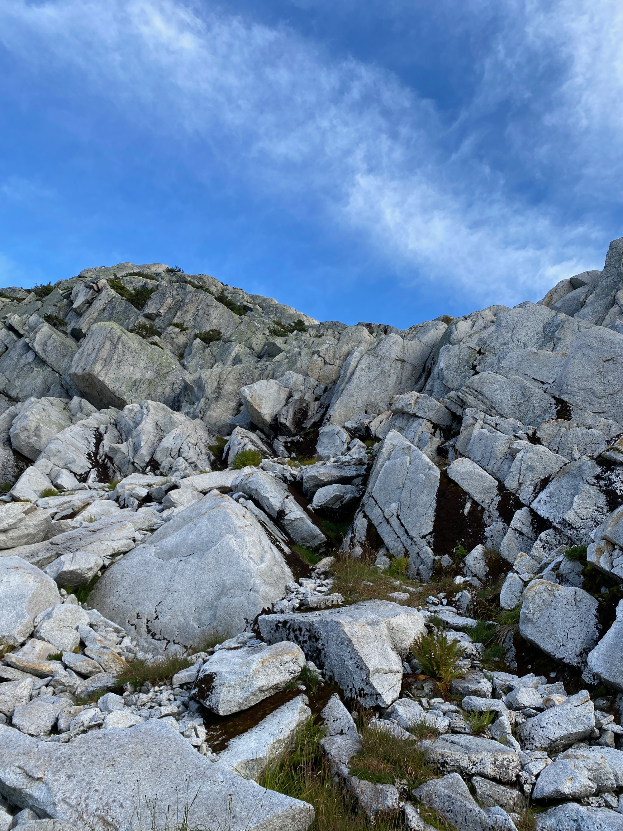
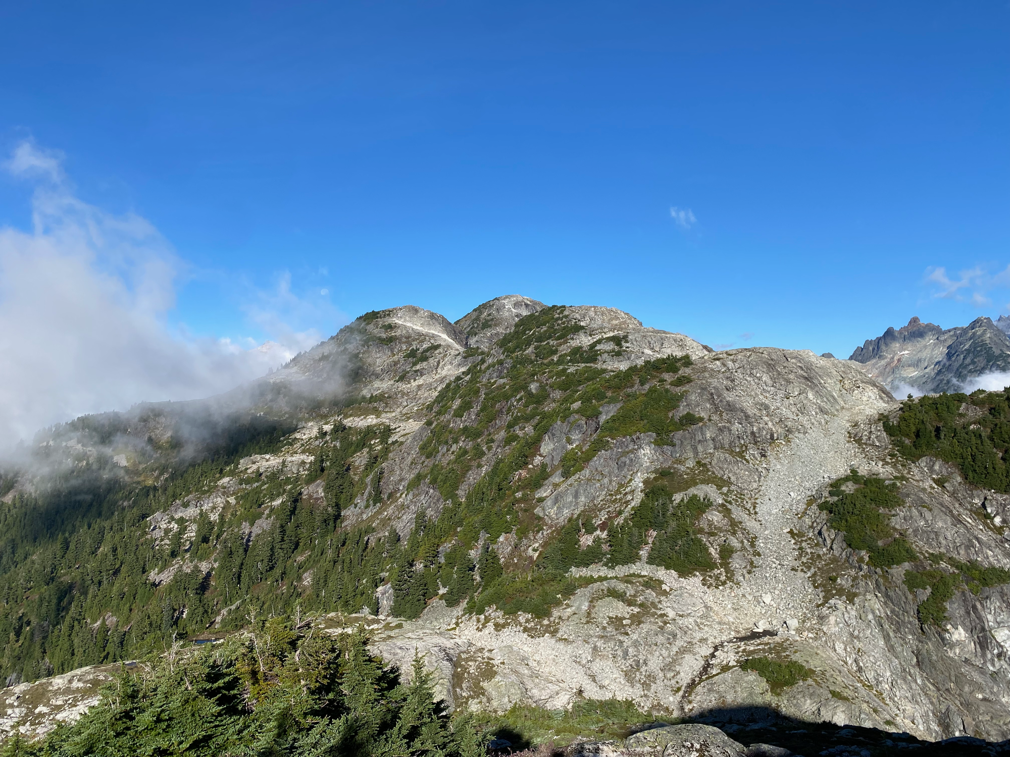
Once on the peak I wanted for a while for the clouds to clear, but only got some partial views of the Tantalus Range. There was a summit register, but the container isn’t watertight and the logbook was absolutely soaked. I tried to write my name but this was a pointless endeavour.
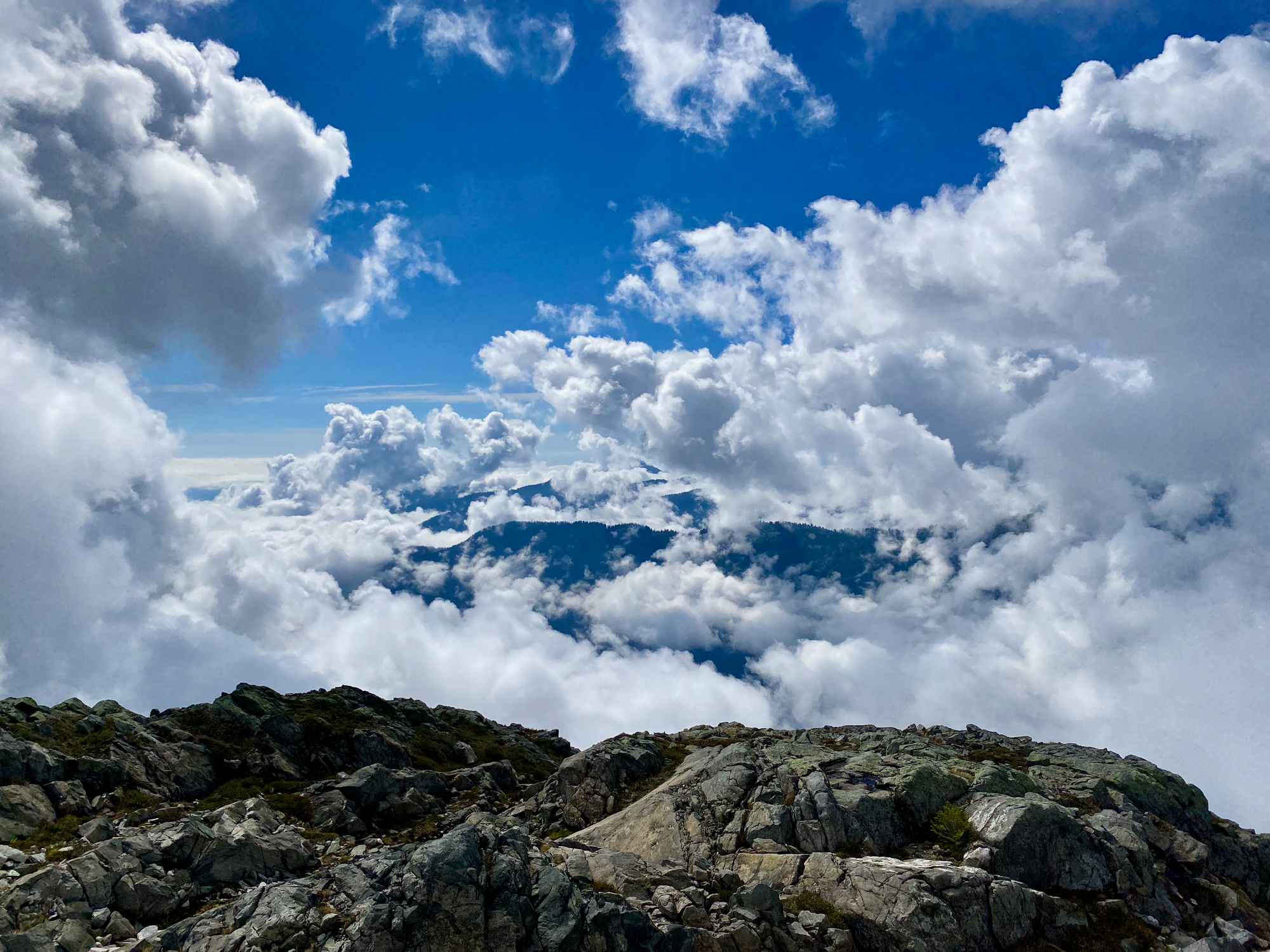
Visibility was quite poor, which made the descent from Conybeare more difficult than it needed to be. I descended a gully to the west, navigated a series of ledges to reach a boulder field around 1650m, then sidehilled to the ridge. Around 1530m I took a detour north to avoid a cliff. The ridge was rejoined at 1400m, and from there it was an easy, mildly bushwhacky, ridge walk to the col.
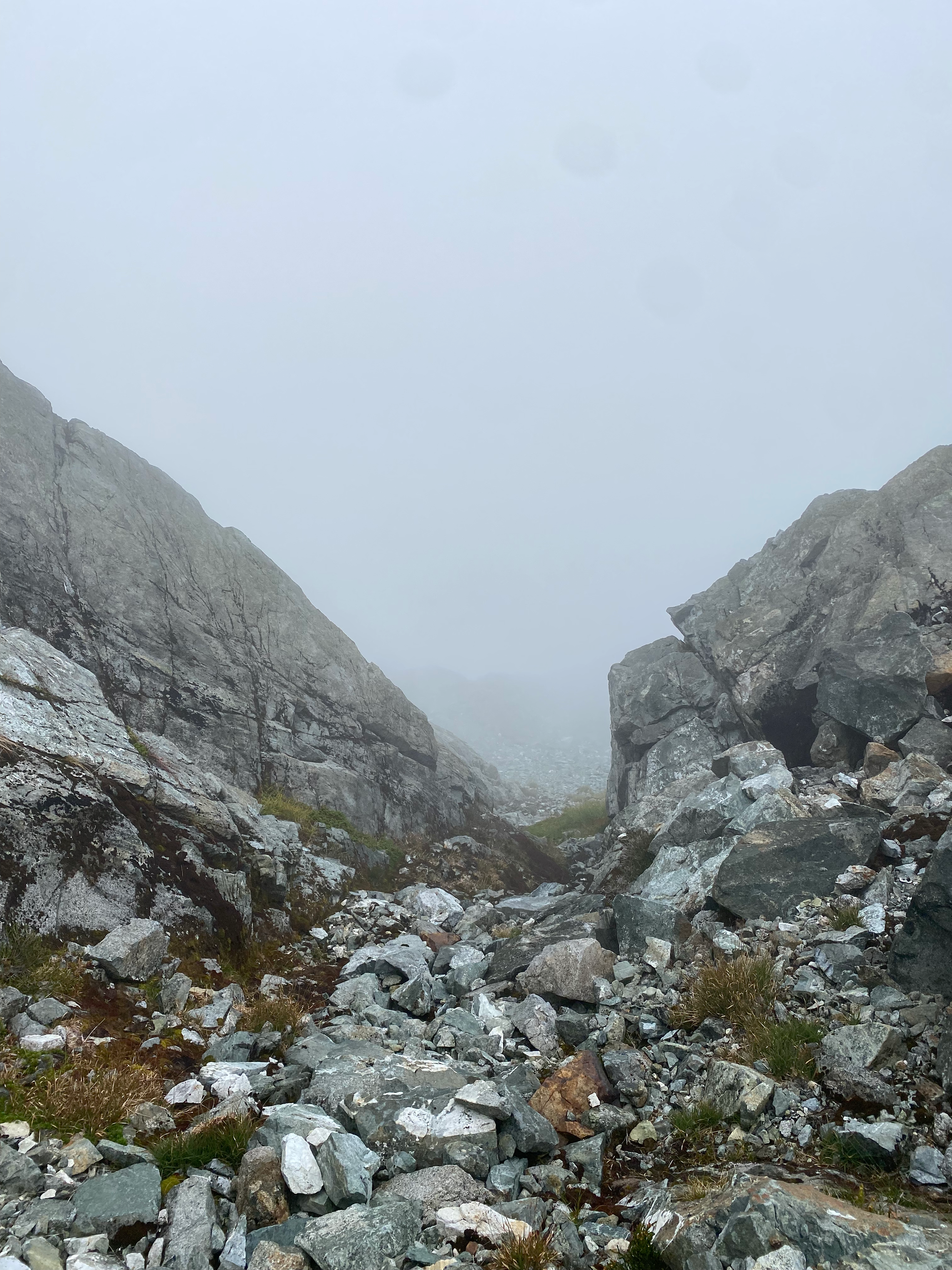
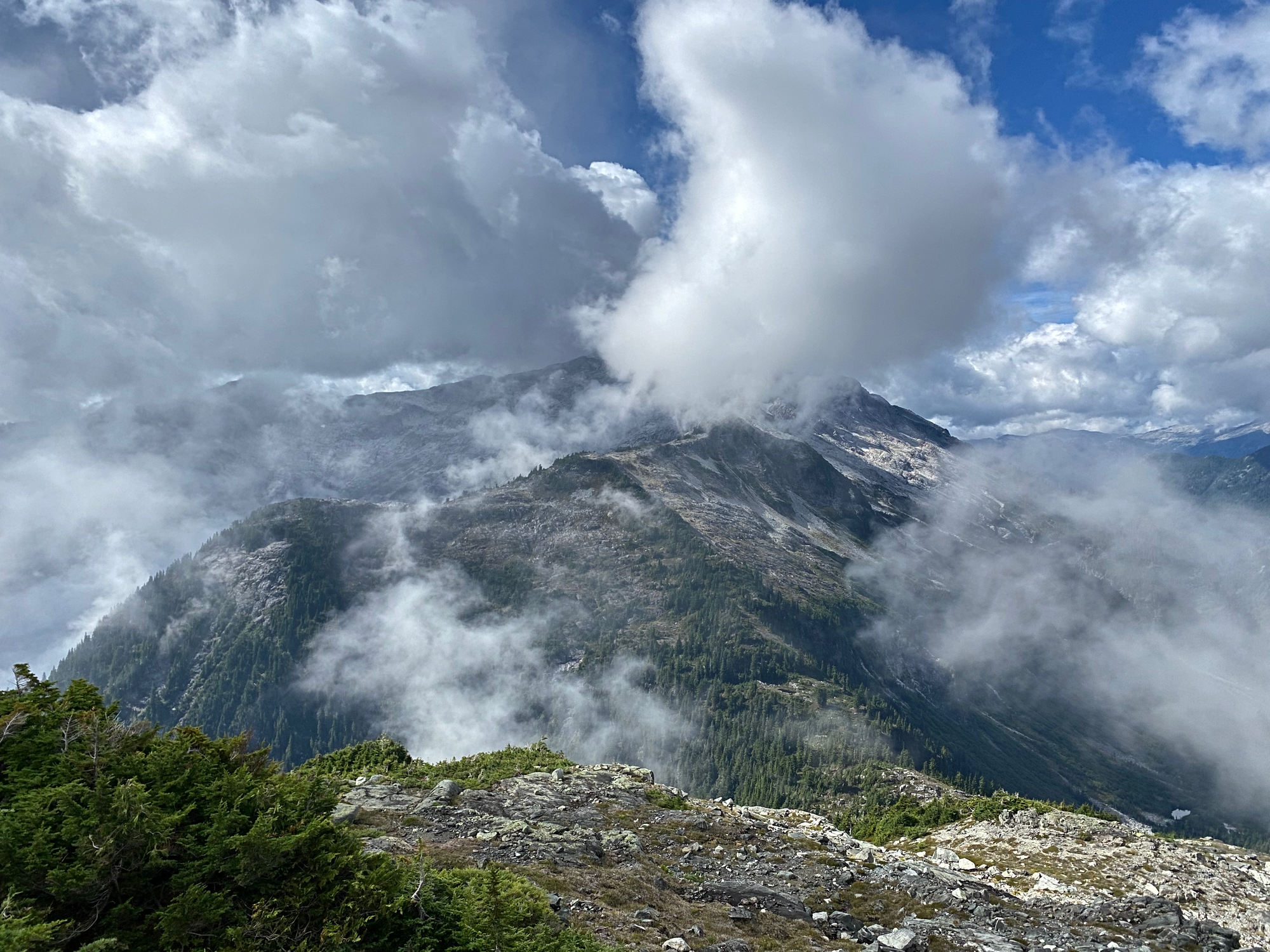
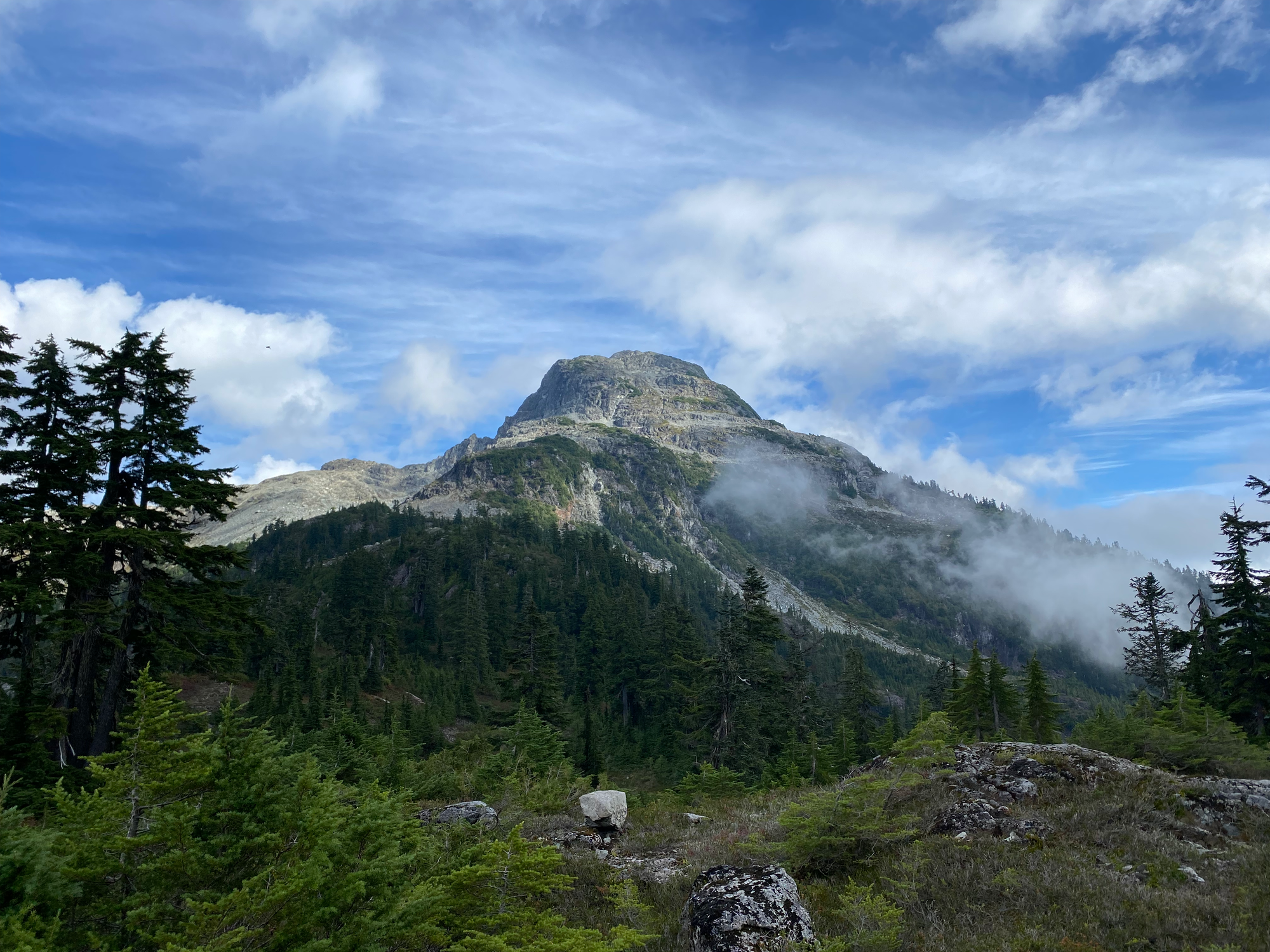
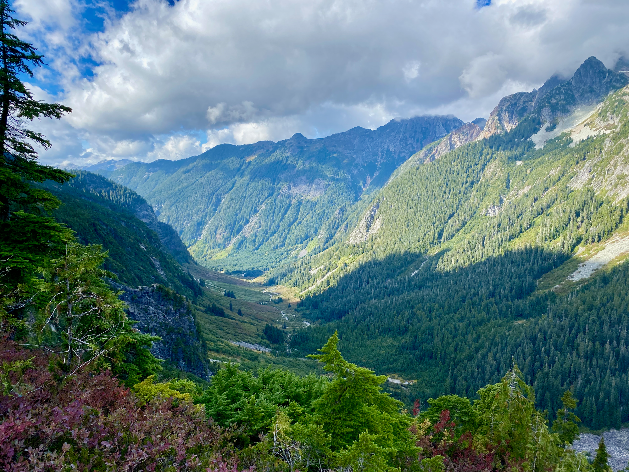
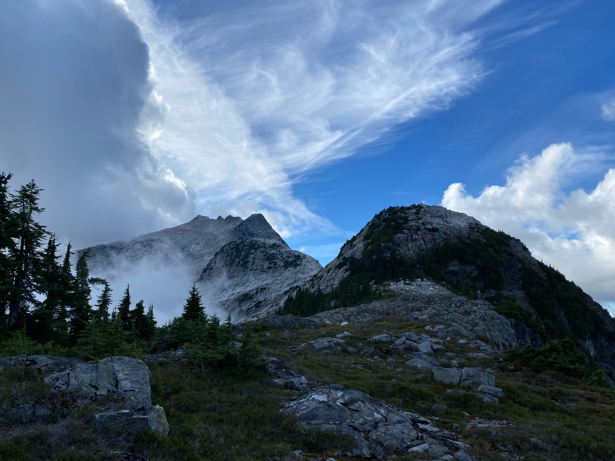
The ascent from the col to Sedgwick wasn’t technically difficult, but it did involve almost 800 vertical metres of elevation gain. I climbed to a bench at 1550m then traversed across Sedgwick’s massive southern face. Every few minutes the clouds would clear, giving me a glimpse of the castle-like summit ridge and the rock face sloping into the Woodfibre Creek valley hundreds of metres below. In the distance I heard the sounds of construction at Woodfibre.
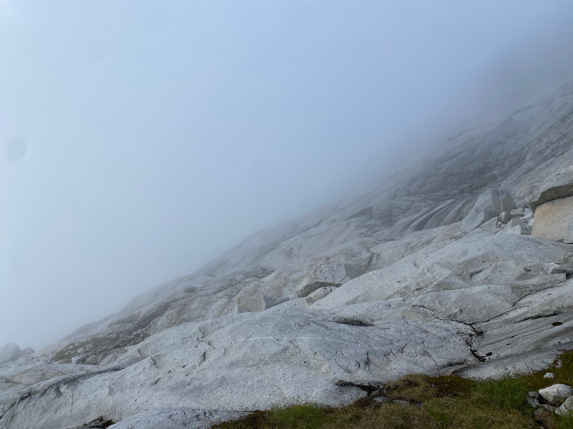
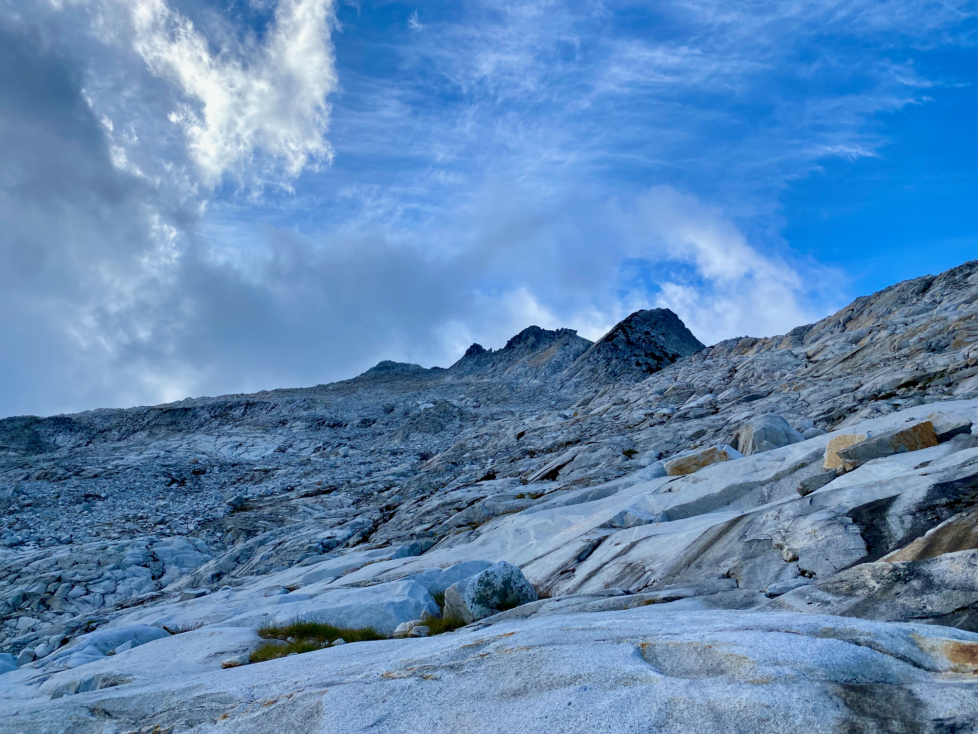
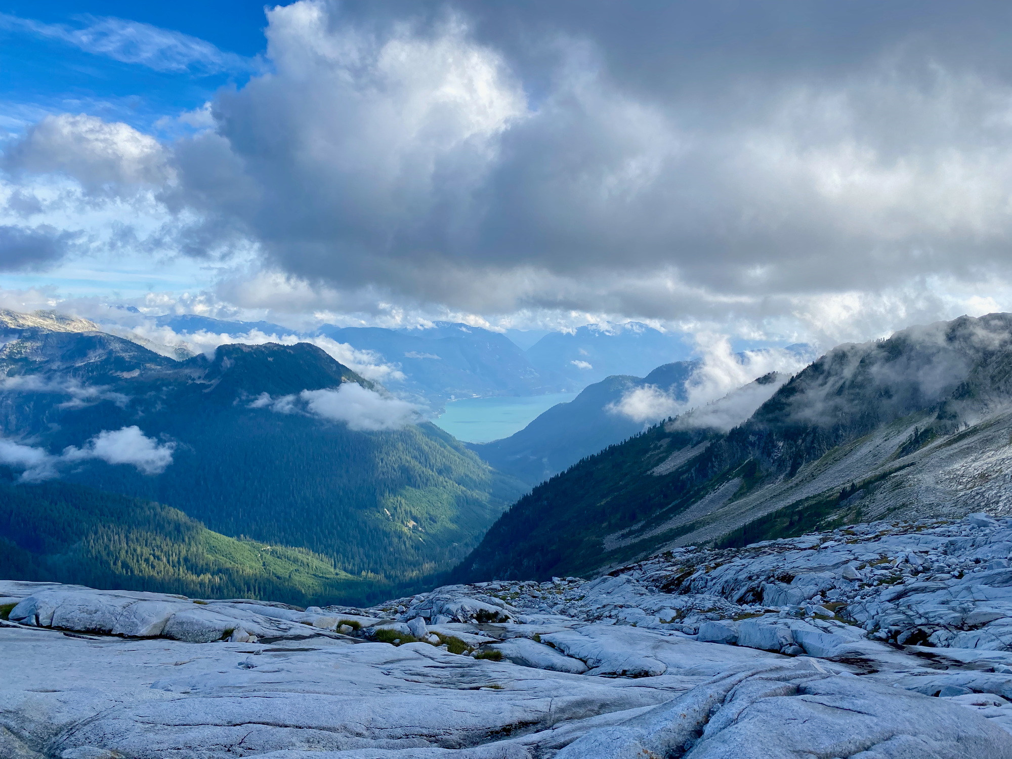

Eventually I arrived at the ridge and a short Class 2 scramble took me to the summit. I had dinner on the summit, and caught fleeting glimpses of views, but still felt a bit robbed.
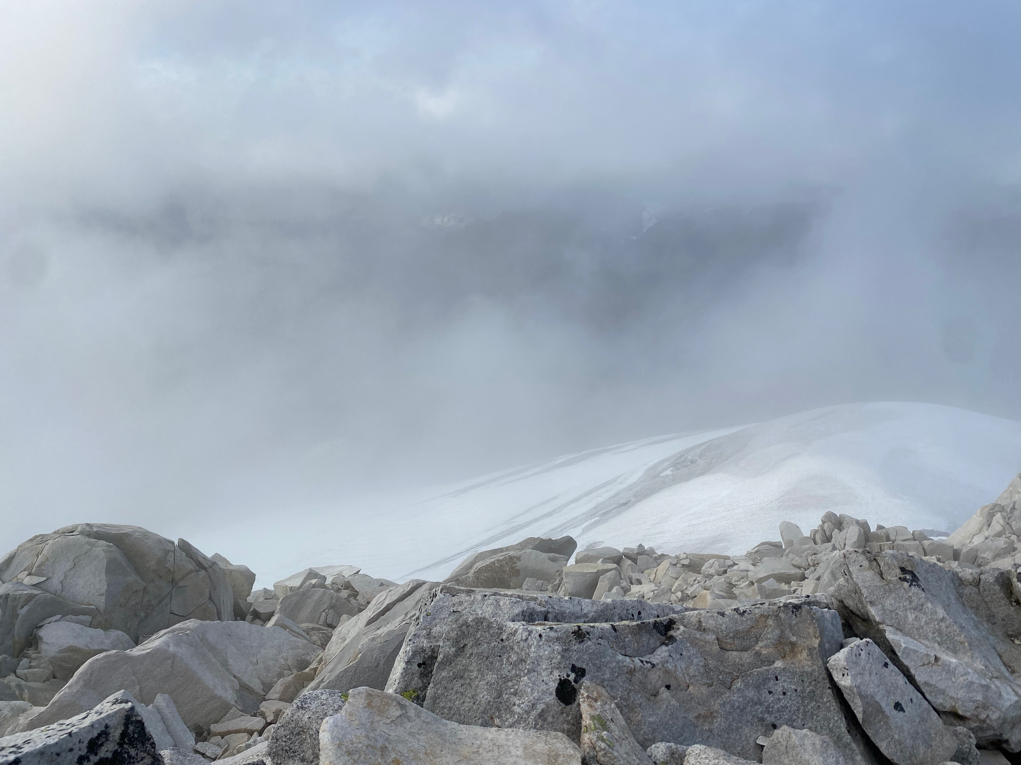
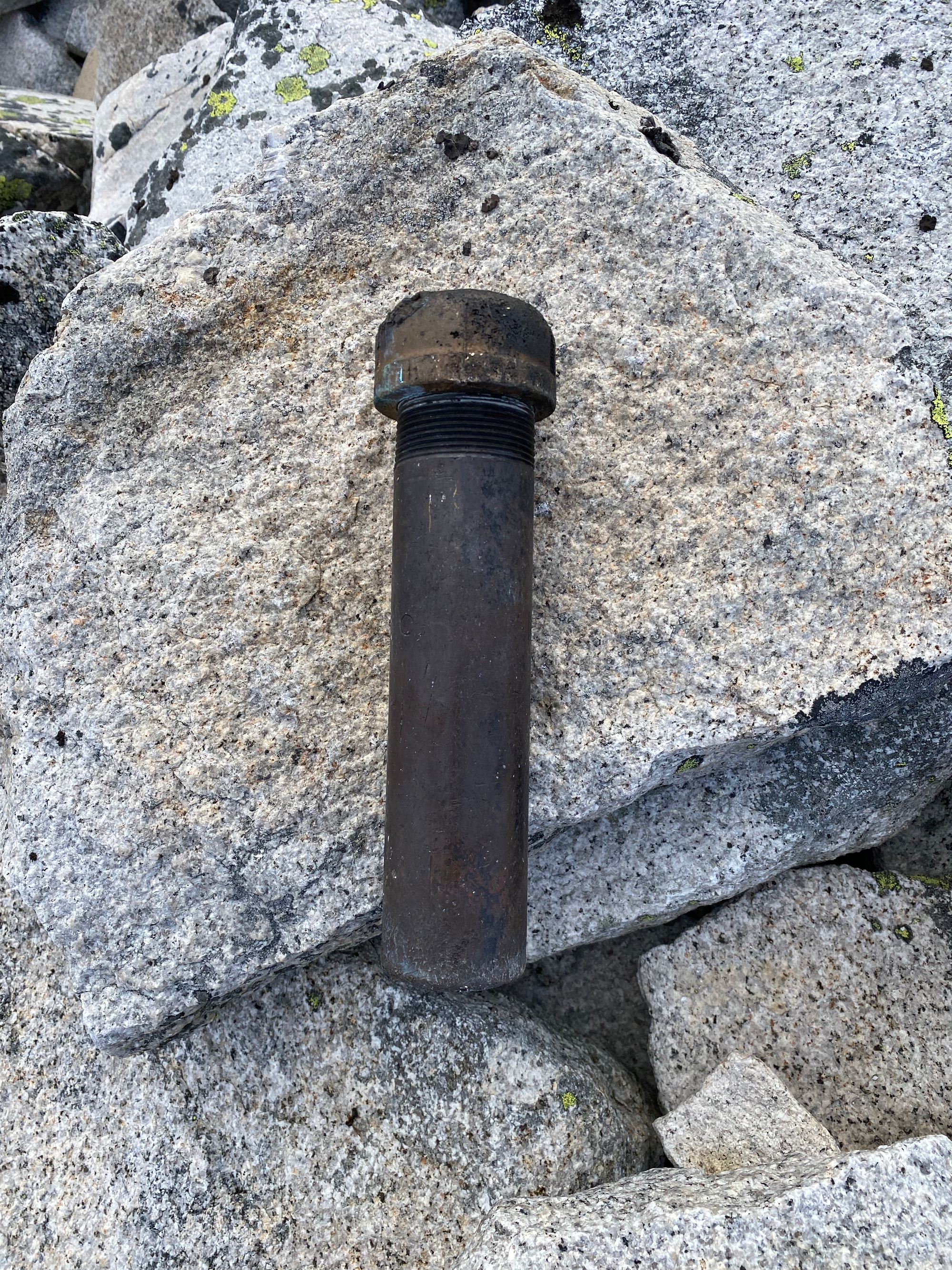
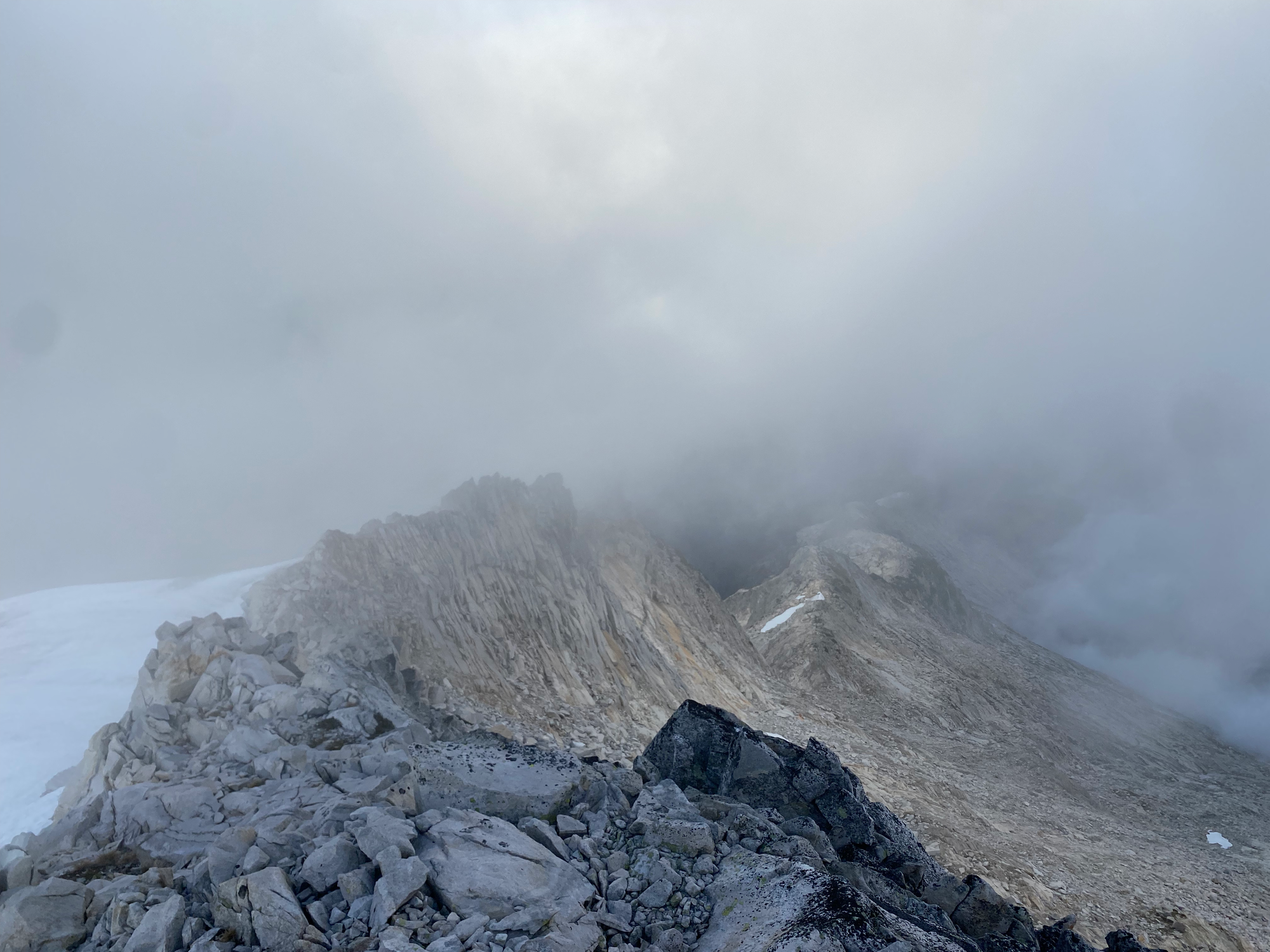
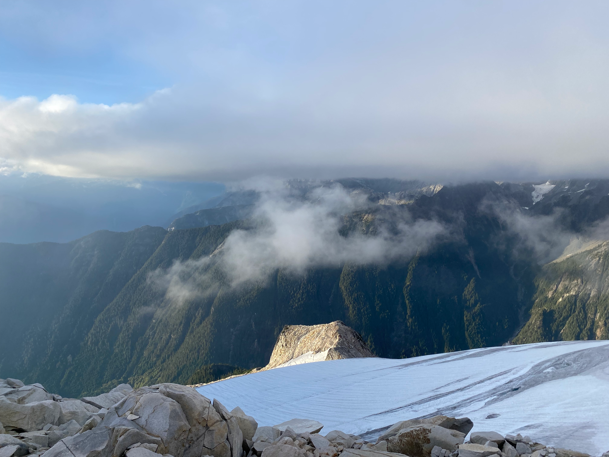
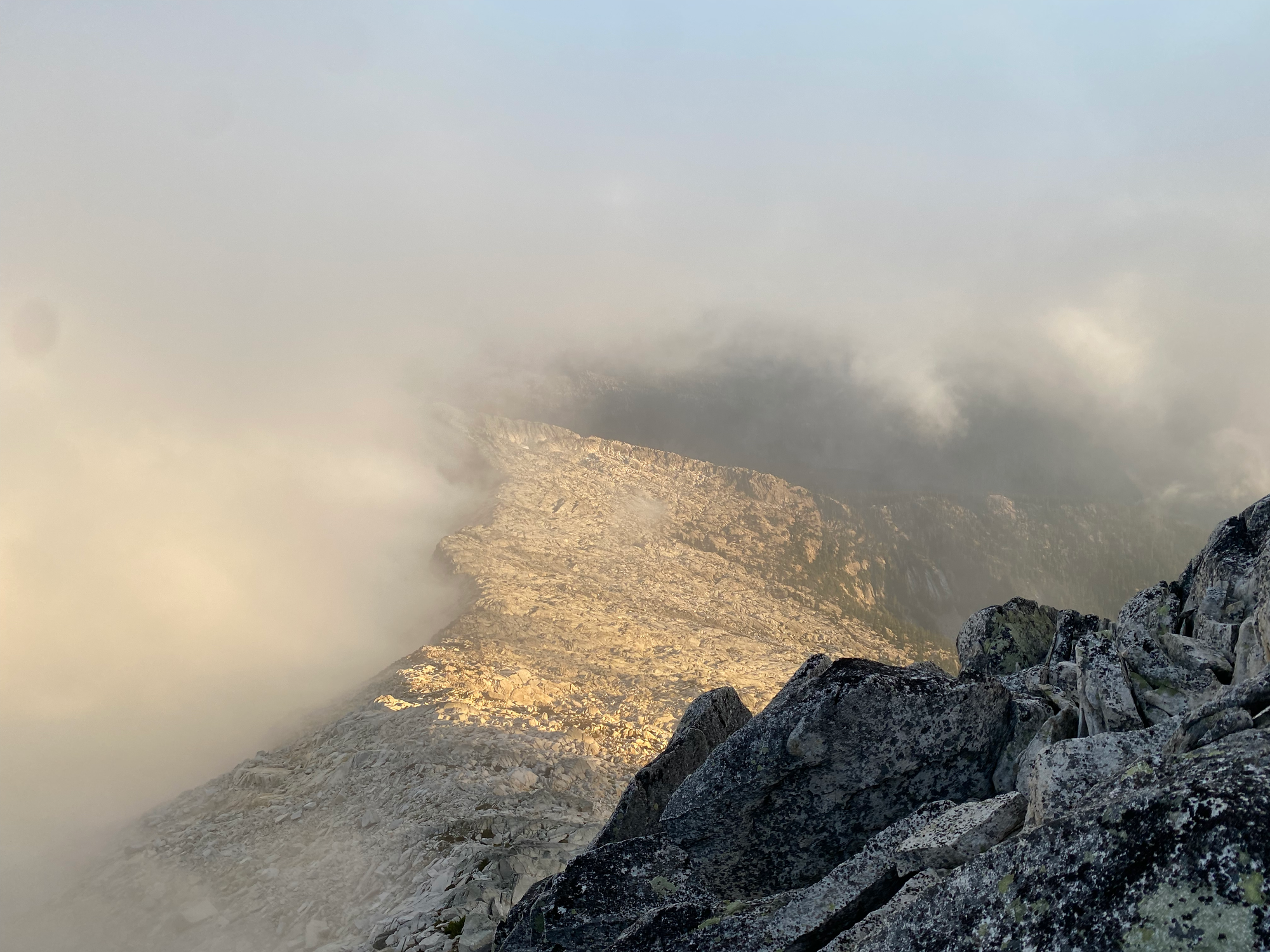
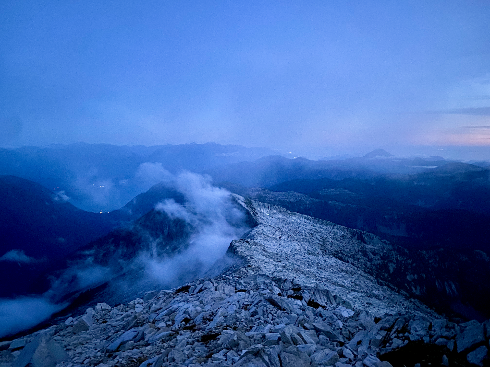
I’d planned to continue a bit further that day, but instead I decided to camp near the summit and come back if/when the clouds dissipated the next morning. From my campsite I could see the lights of Vancouver, Victoria, Nanaimo, and Britannia Beach, but my perch still felt extremely remote.
Sept. 21: Mt. Sedgwick -> “Henriette Peak”
As predicted, the clouds cleared around 9am, and I was treated to one of the best mountain views BC has to offer. To the east were the familiar North Shore and Squamish peaks from an entirely different perspective. To the west was the massive, remote Tzoonie Mountain massif, with even more distant peaks further beyond. The bare granite of Sedgwick’s southern ridge framed the Lower Sunshine Coast to the south. To the north was a wall of cloud over the Tantalus Range, which never quite cleared.
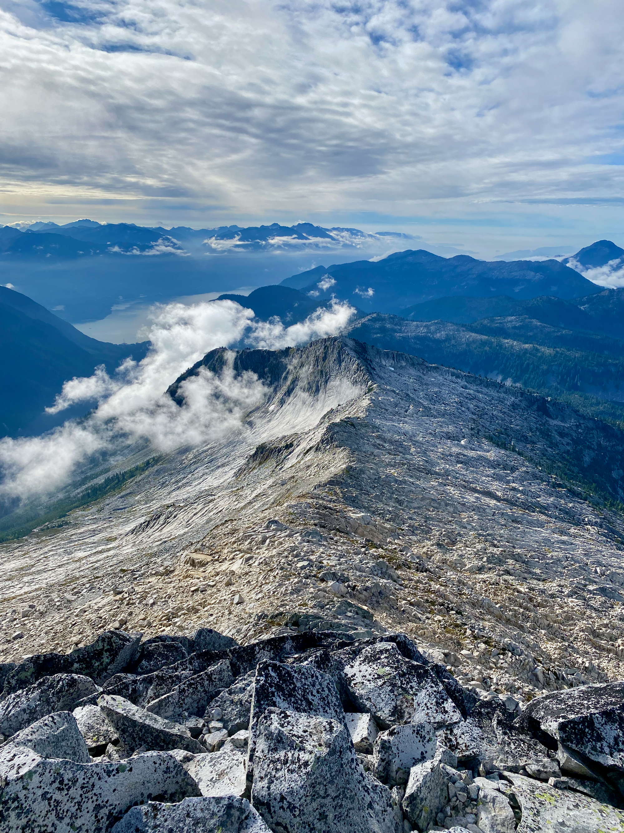
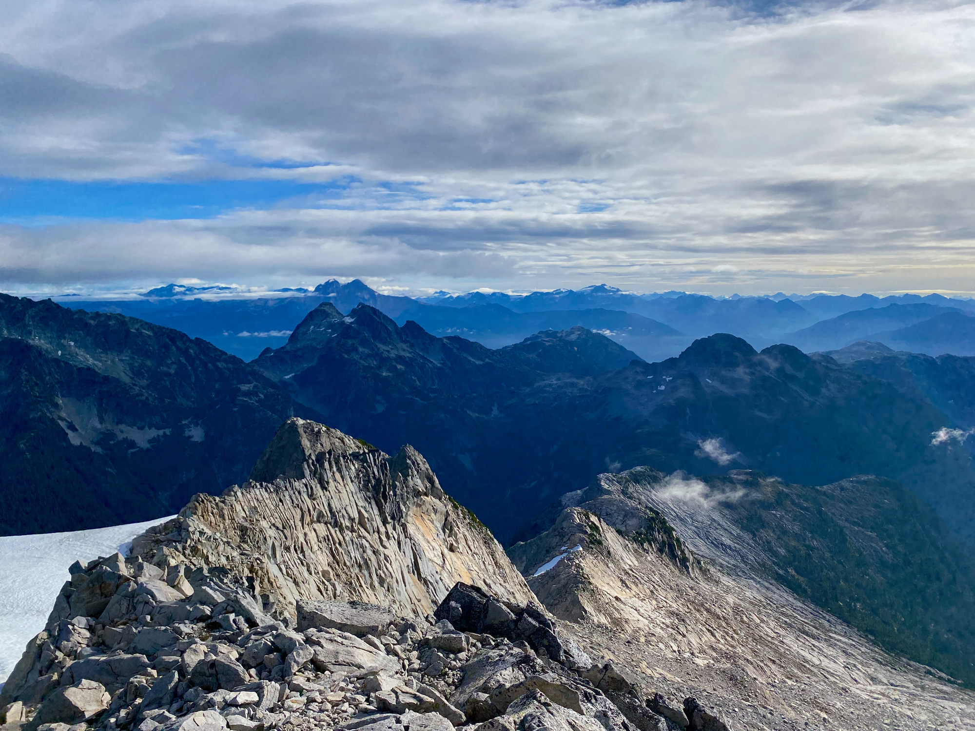
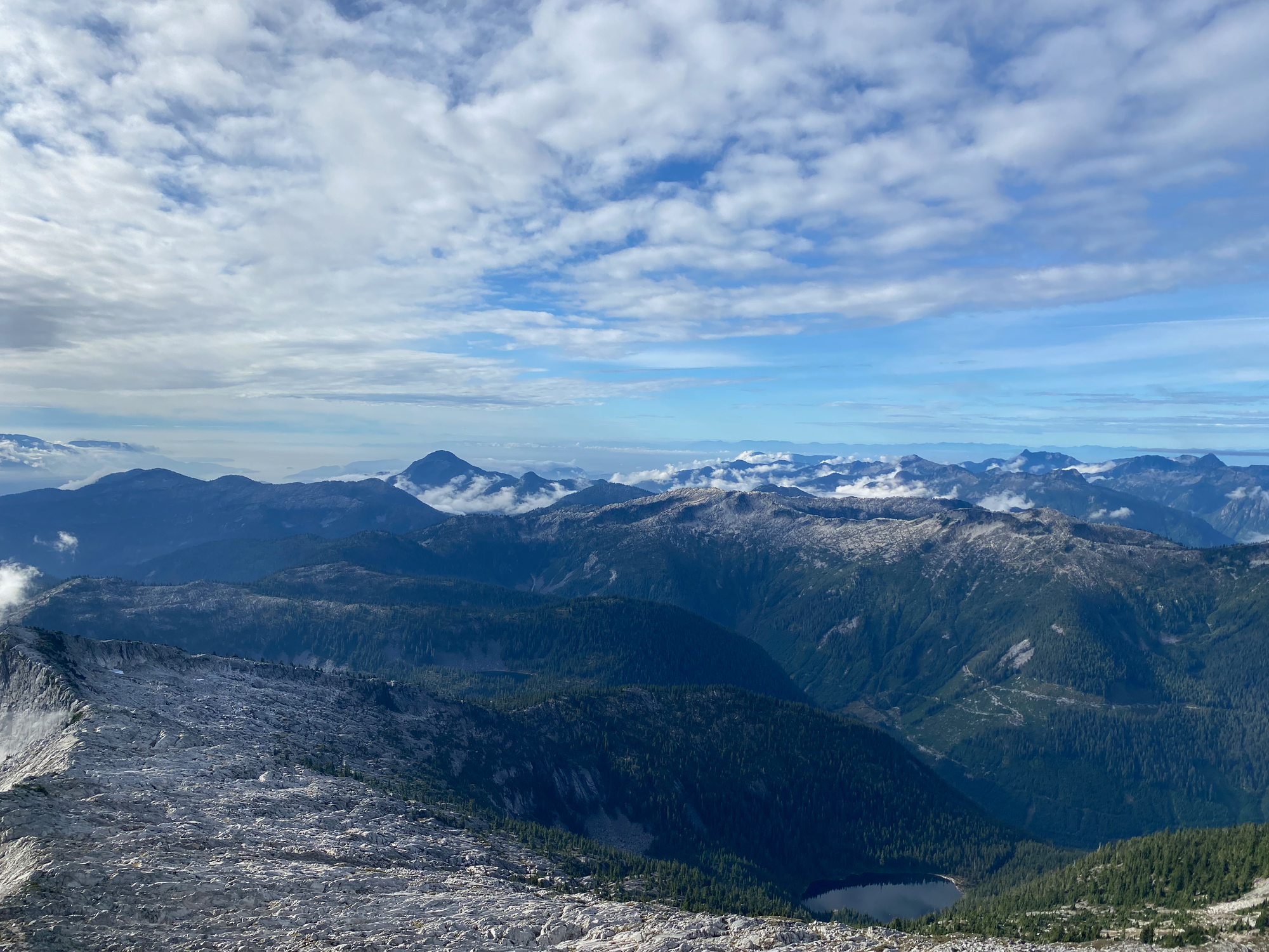
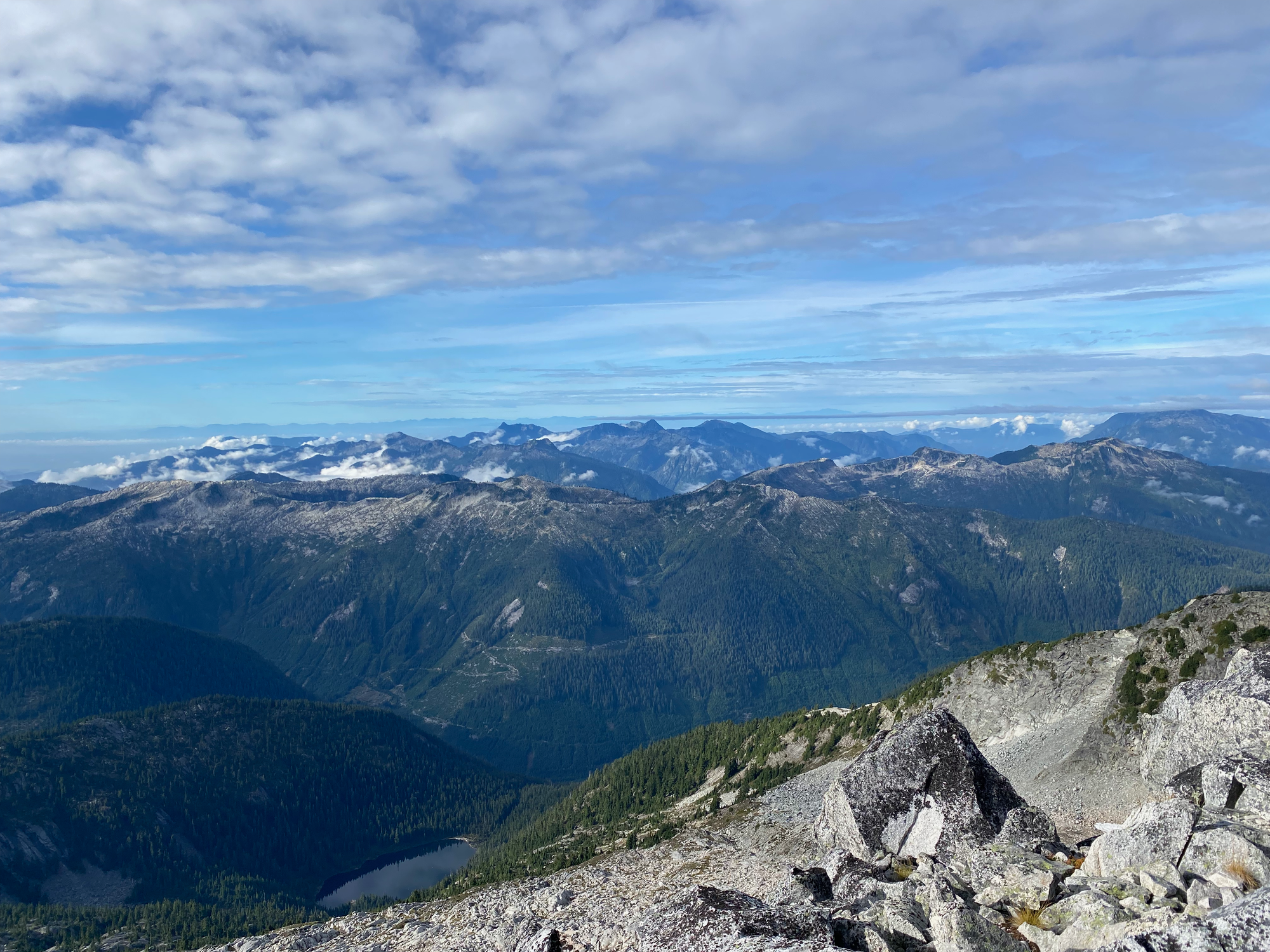
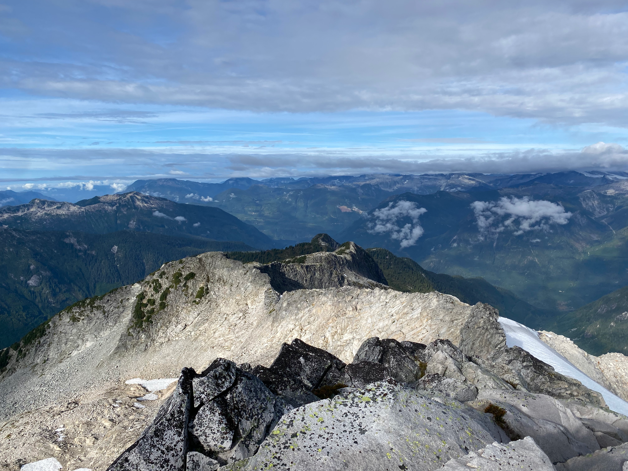
Eventually the clouds returned and it was time to leave. I descended the southern ridge towards Mt. Roderick, which was the typical route to Sedgwick when the Woodfibre ferry was still operating. As noted by Matt Gunn, there are two large flat areas, with tremendous views of the summit pyramid in better weather, which would make excellent campsites. They’re located at 1690m and 1747m, on either side of the sub-summit.
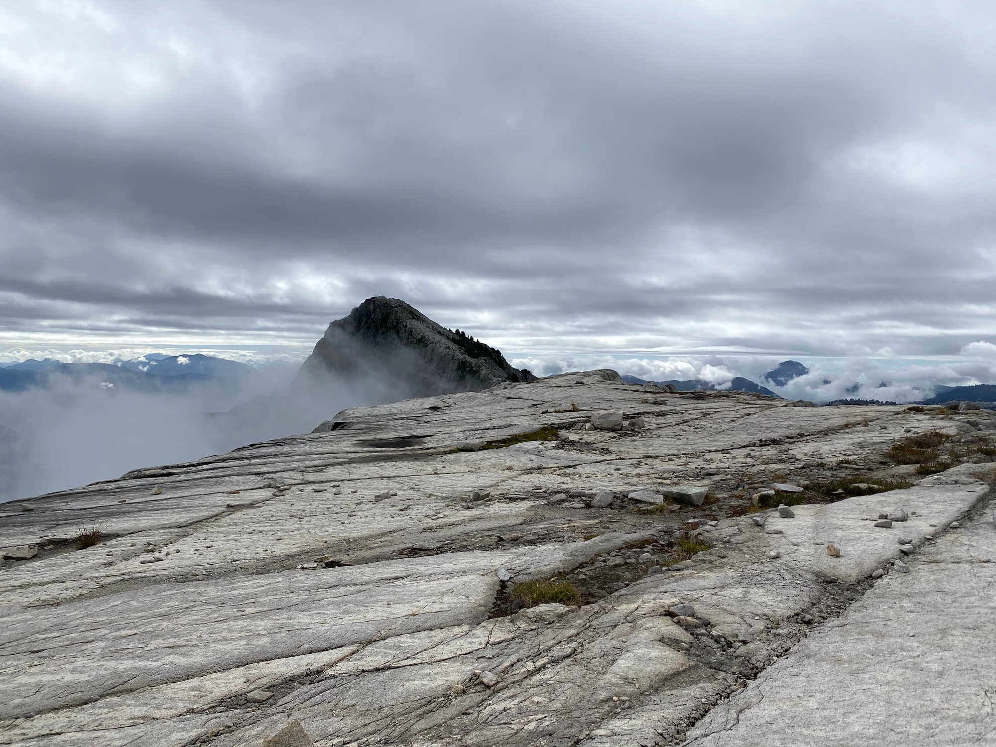
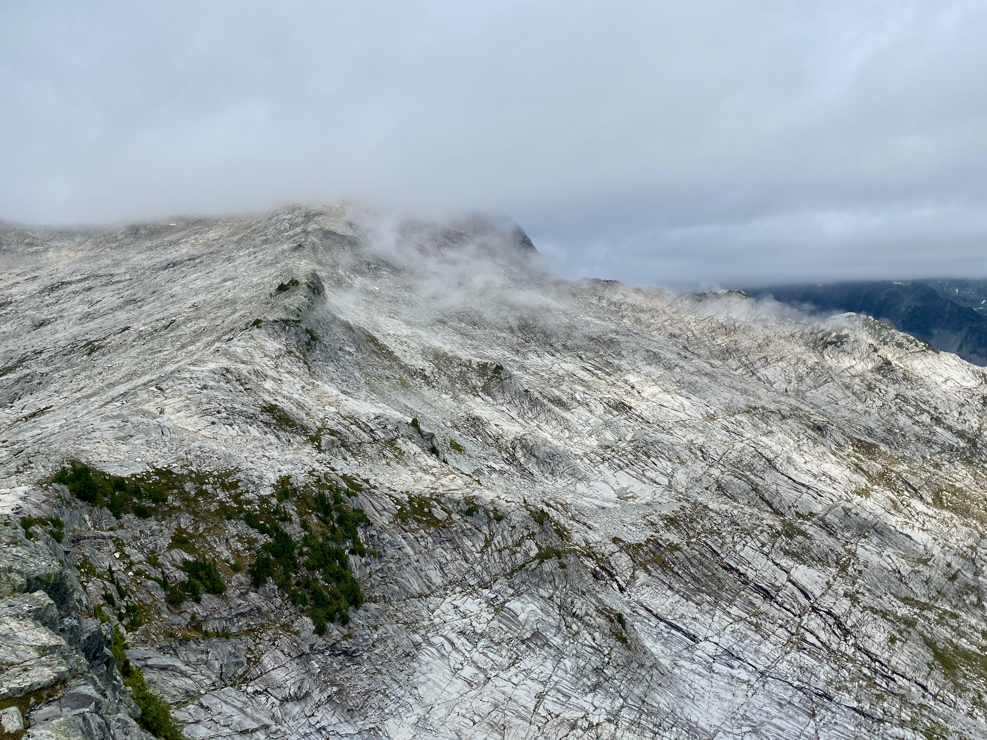
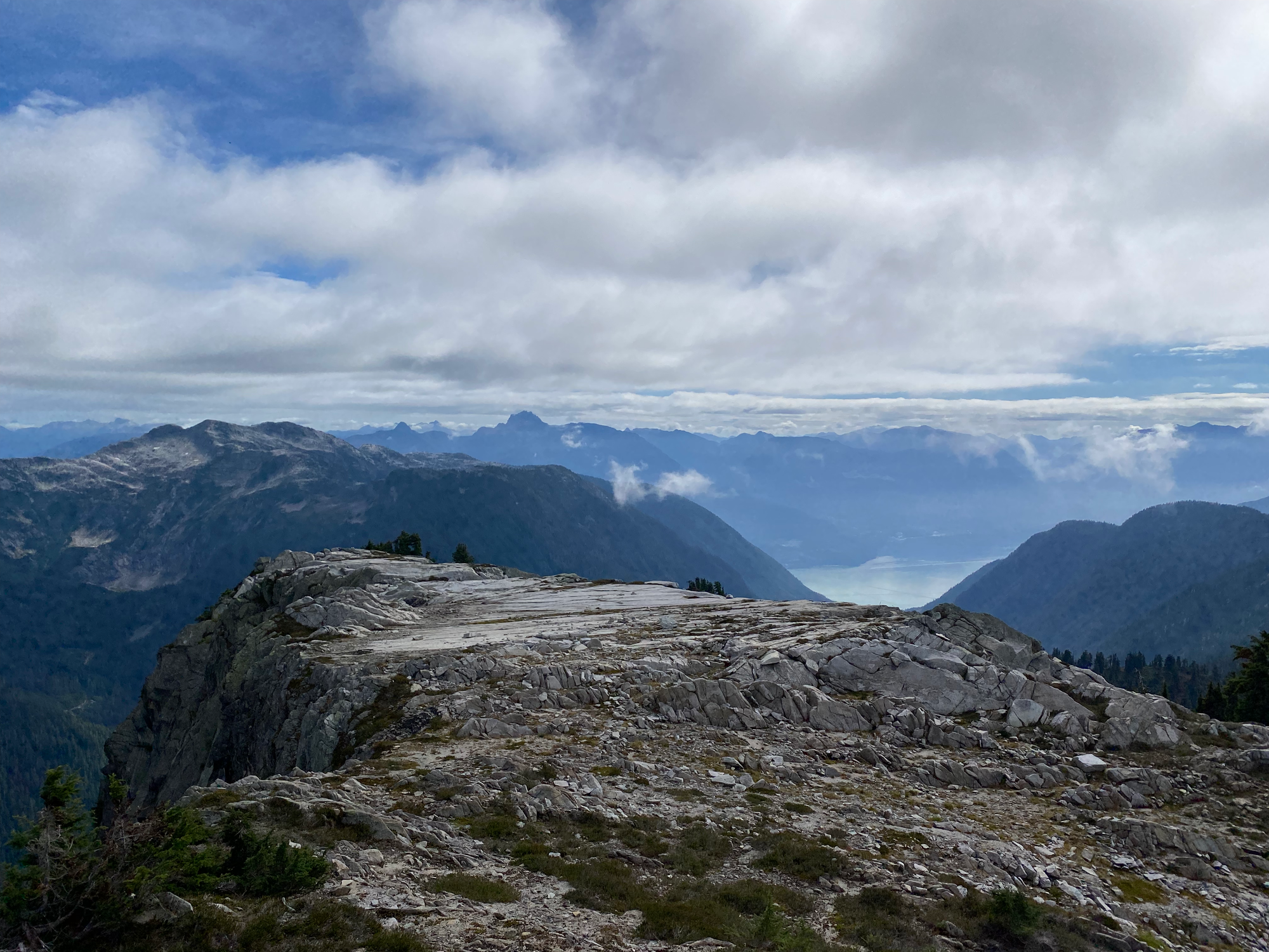
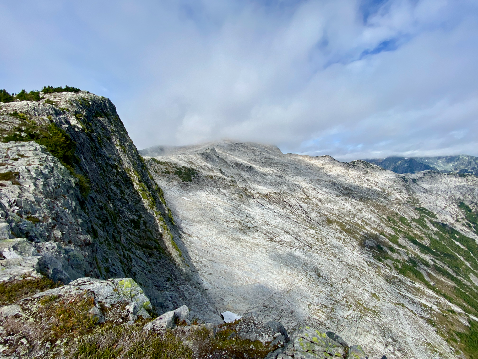
I followed the faint remains of the old Mt. Sedgwick trail, with some interludes of bushwhacking, to Mt. Roderick and “Peak 1400”, two small bumps along the ridge.
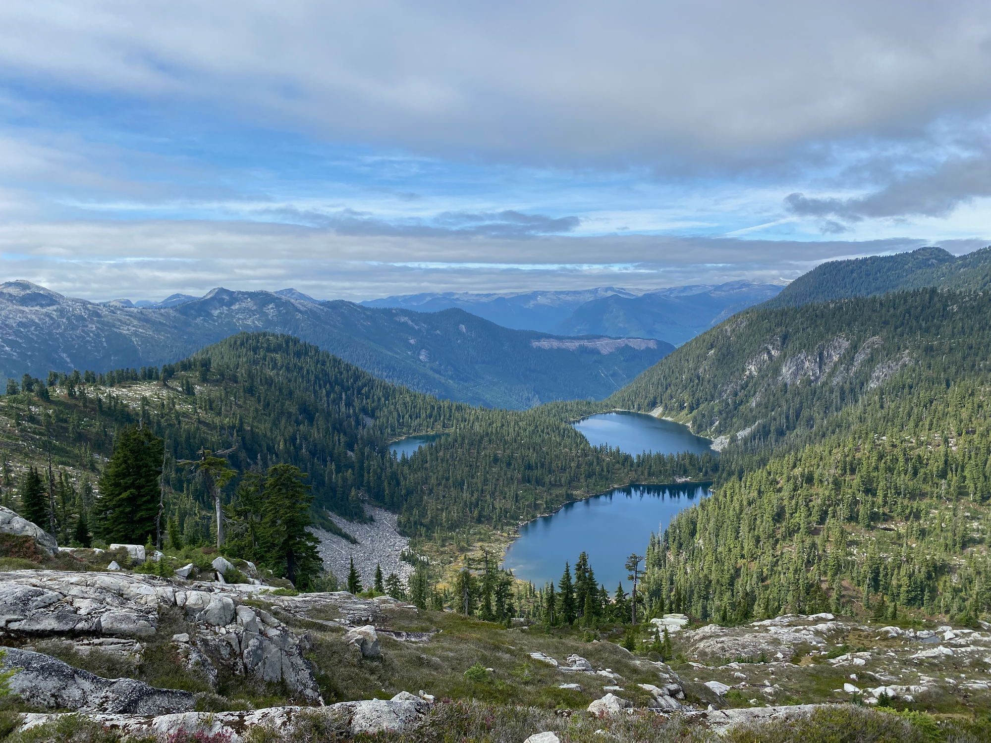
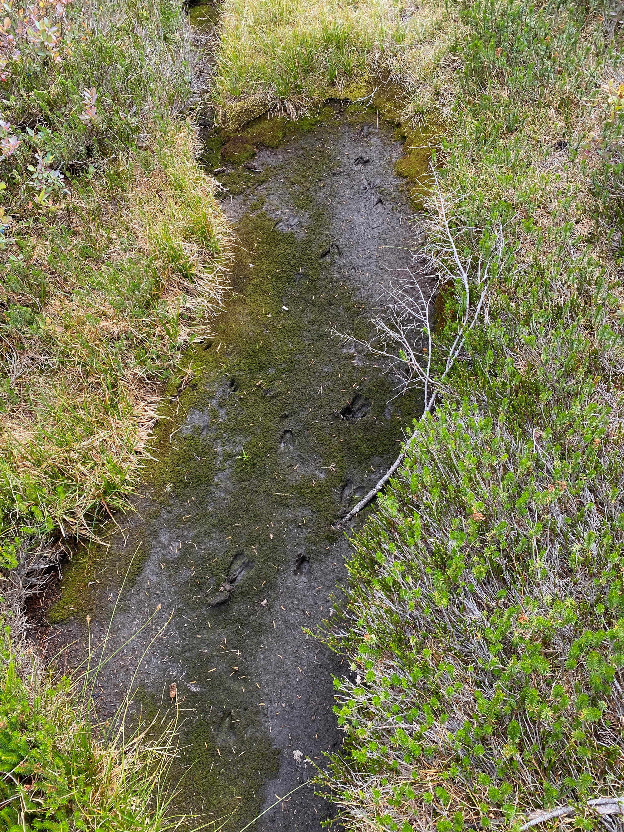
From 1400 I left this route and headed west towards Sylvia Lake, negotiating a few steep veggie-belayed descents. At the lake I enjoyed a very refreshing swim.
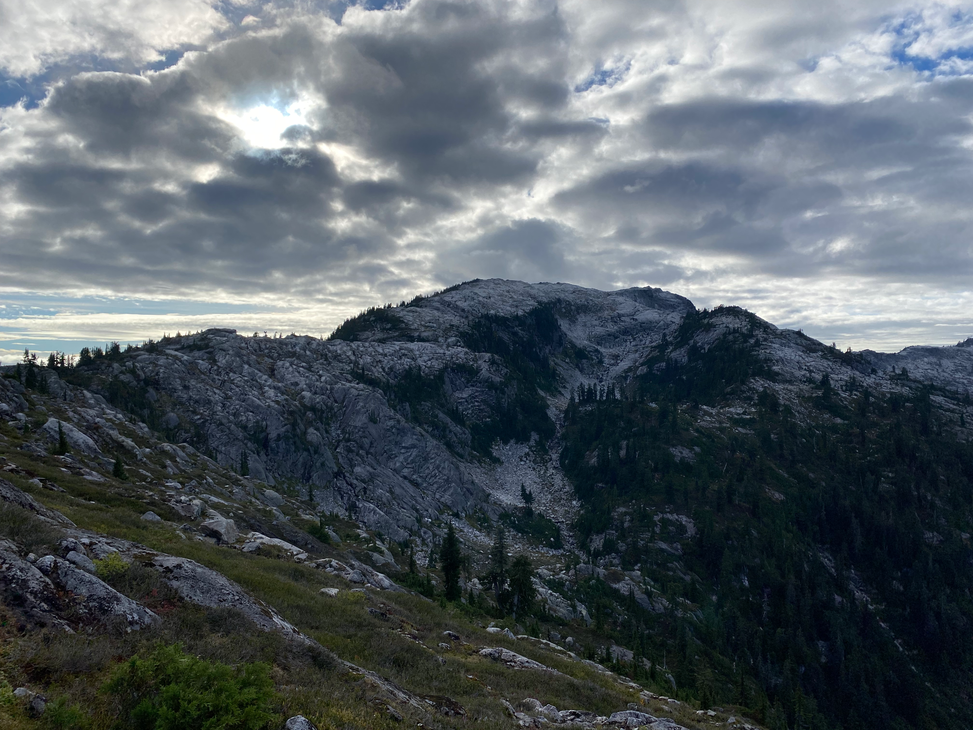
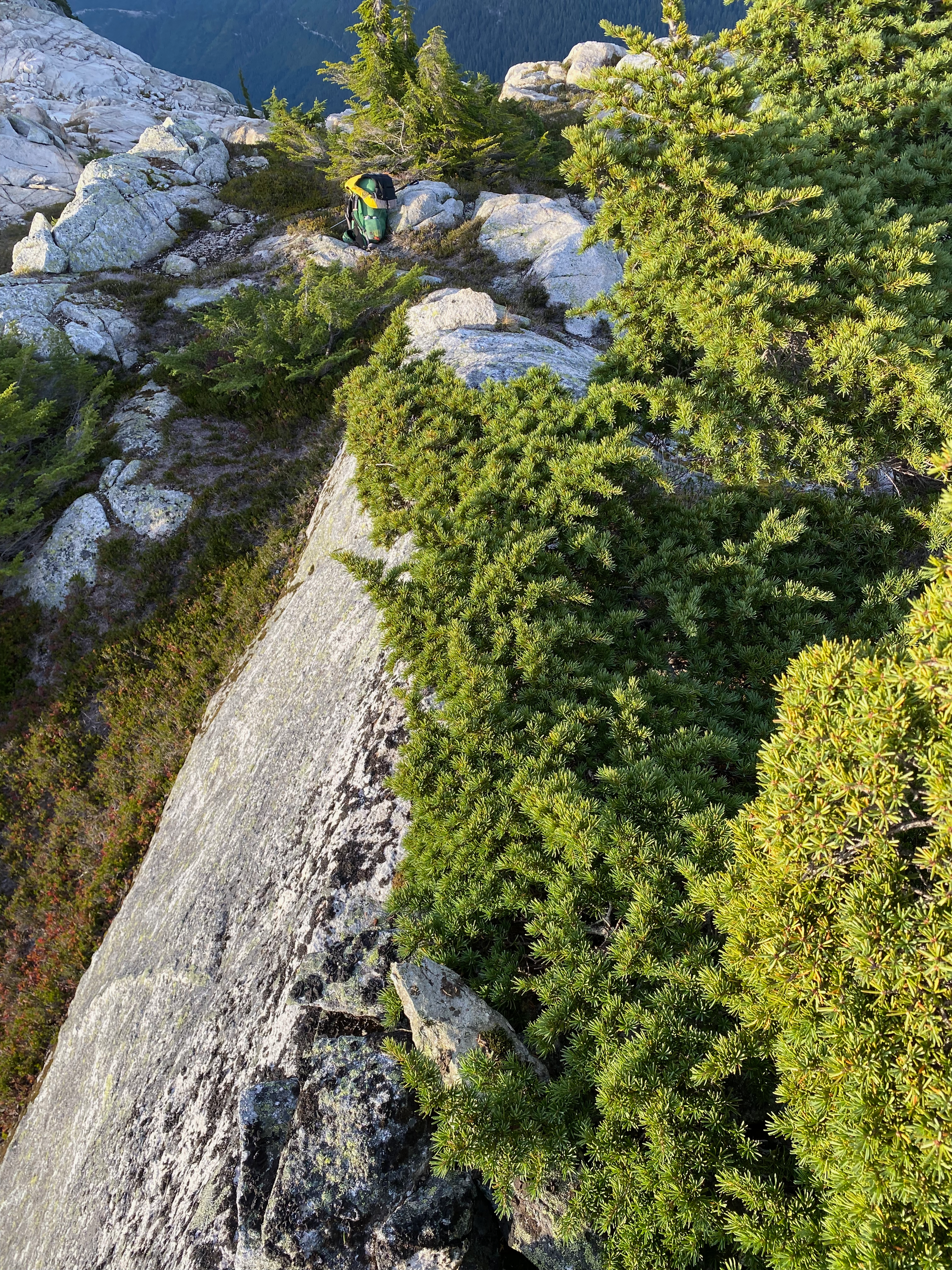
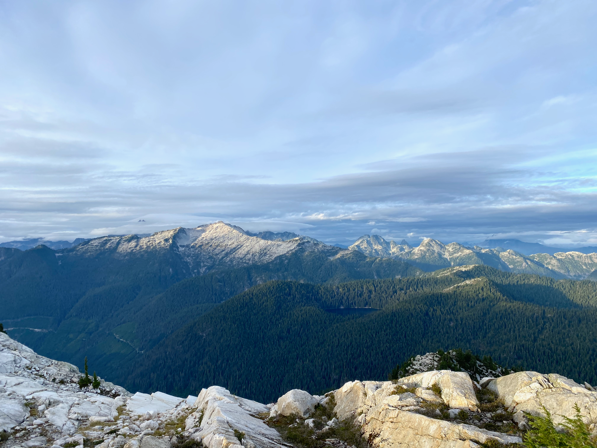
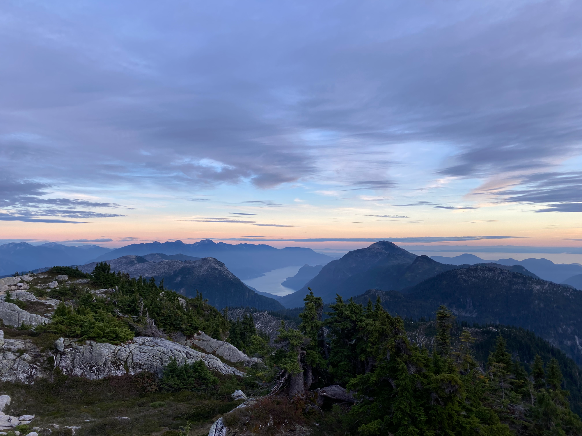
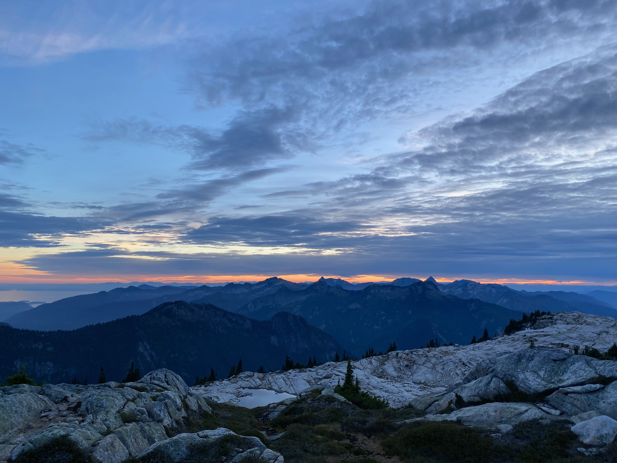
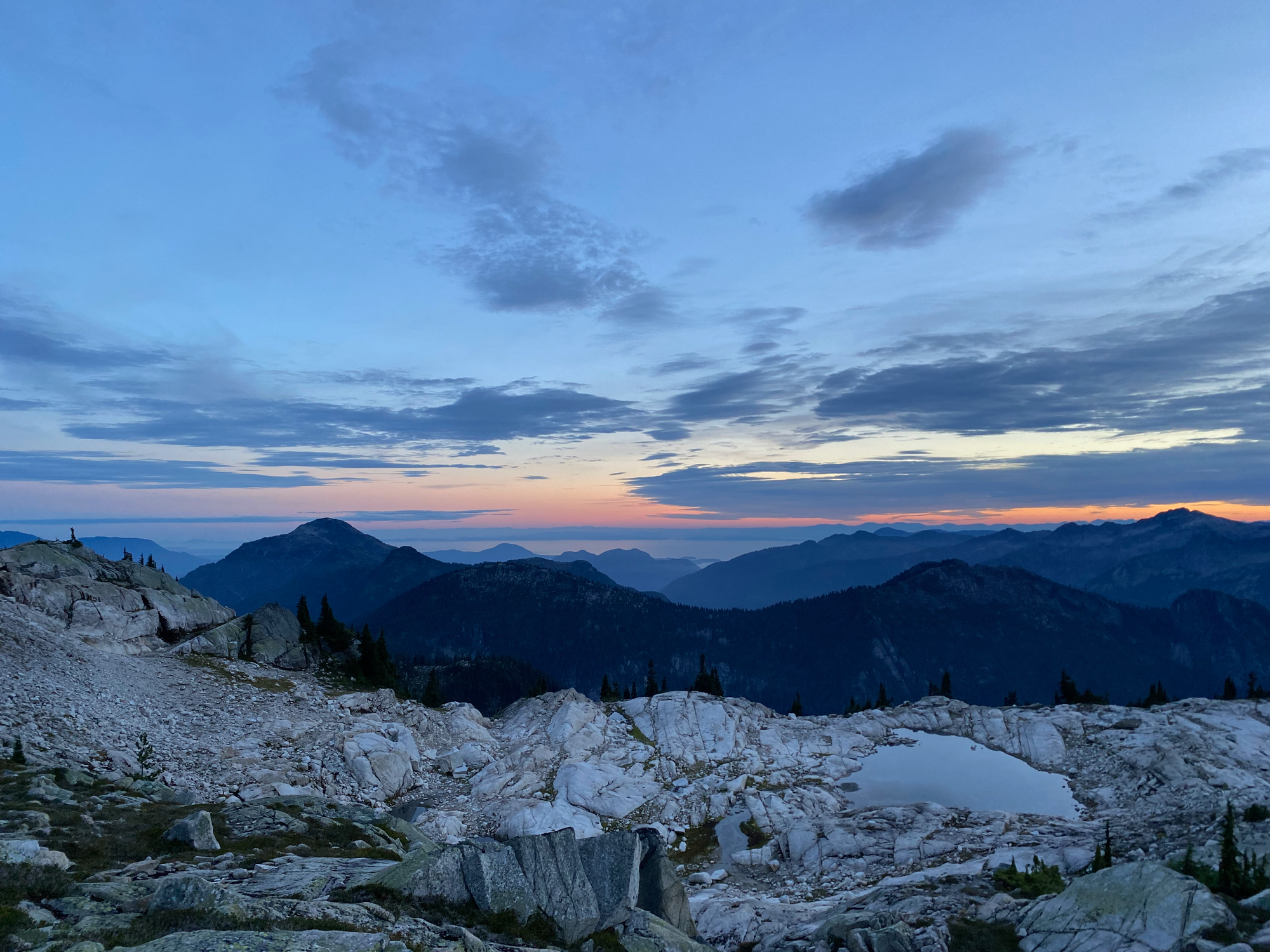
Next up was a ridgeline climb towards “Henriette Peak”. This was pretty straightforward, except for several small valleys and ridges which had to be negotiated around. Henriette Peak consists of a large granite massif with many small bumps, each with a slightly different perspective on Howe Sound and the Sunshine Coast.
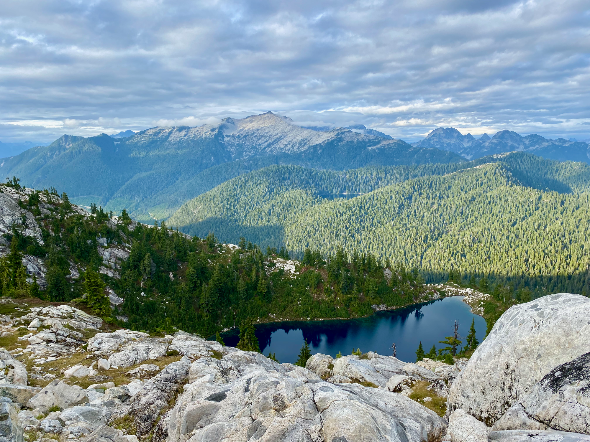
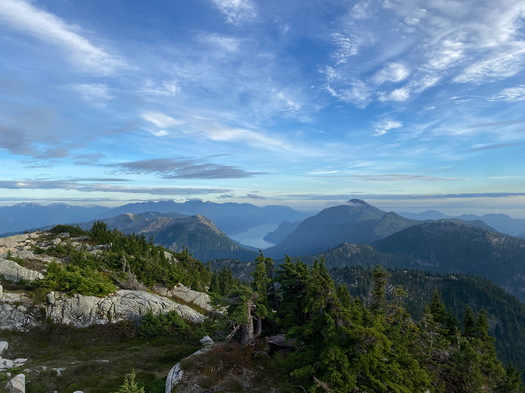
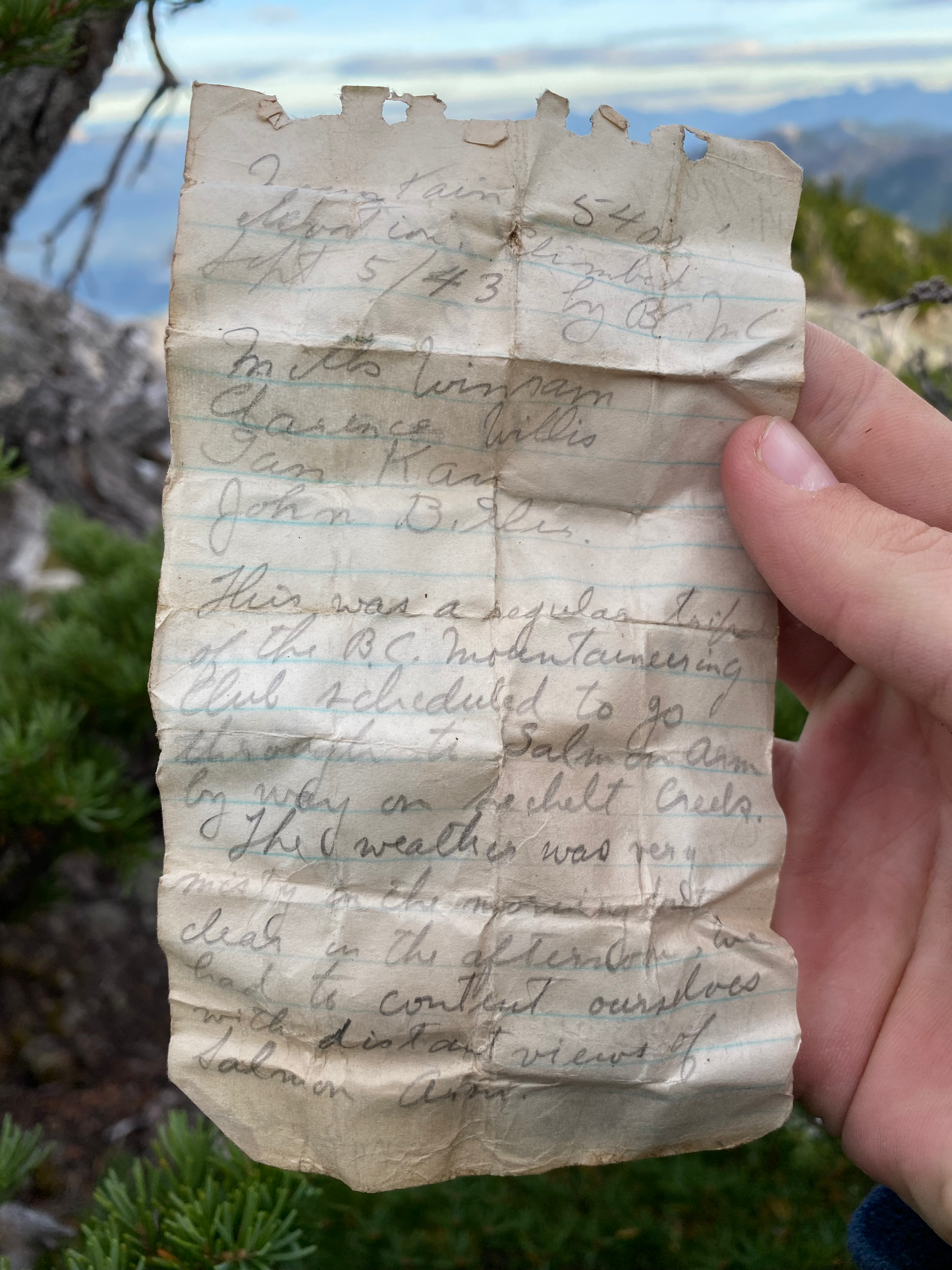
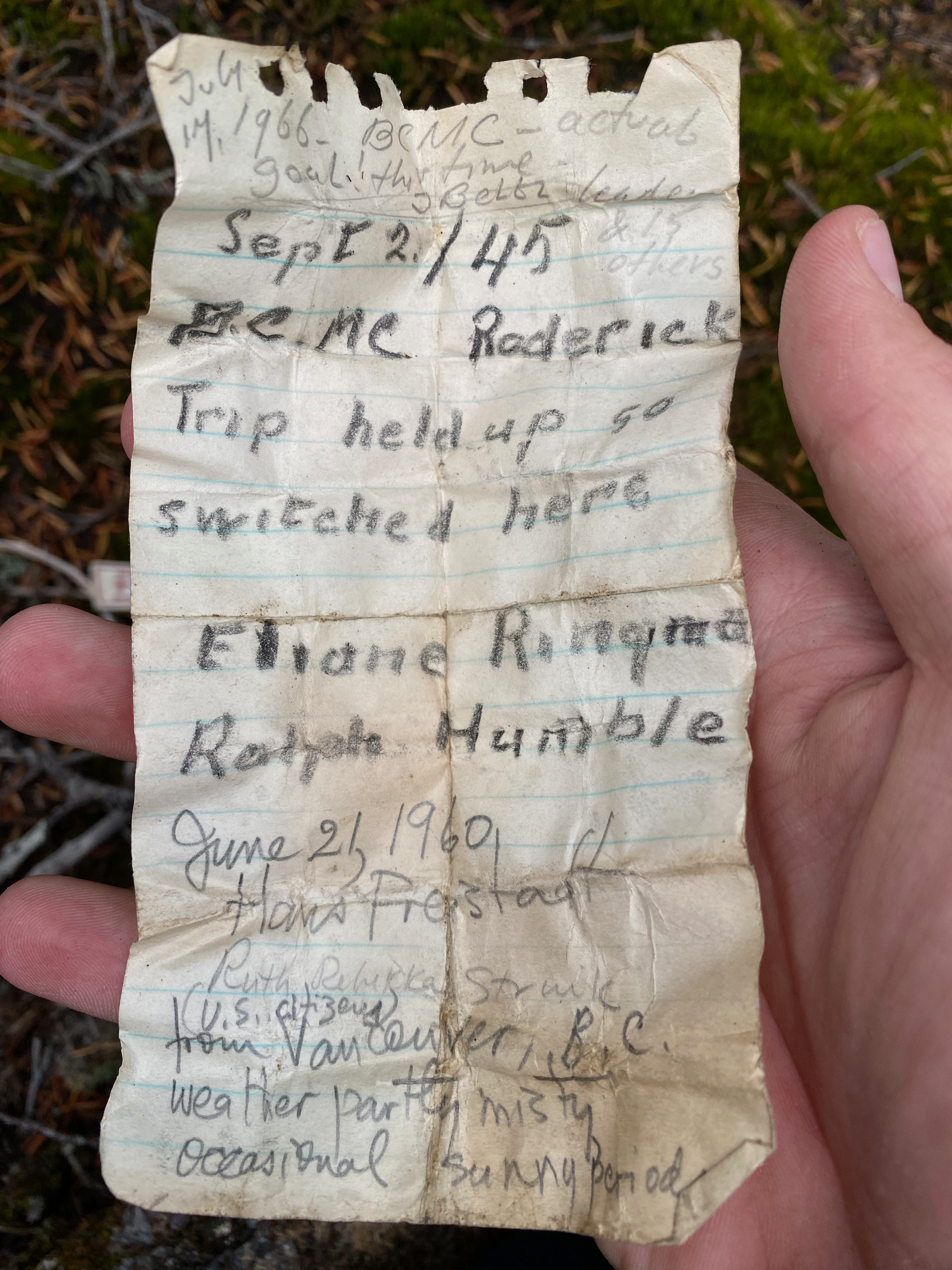
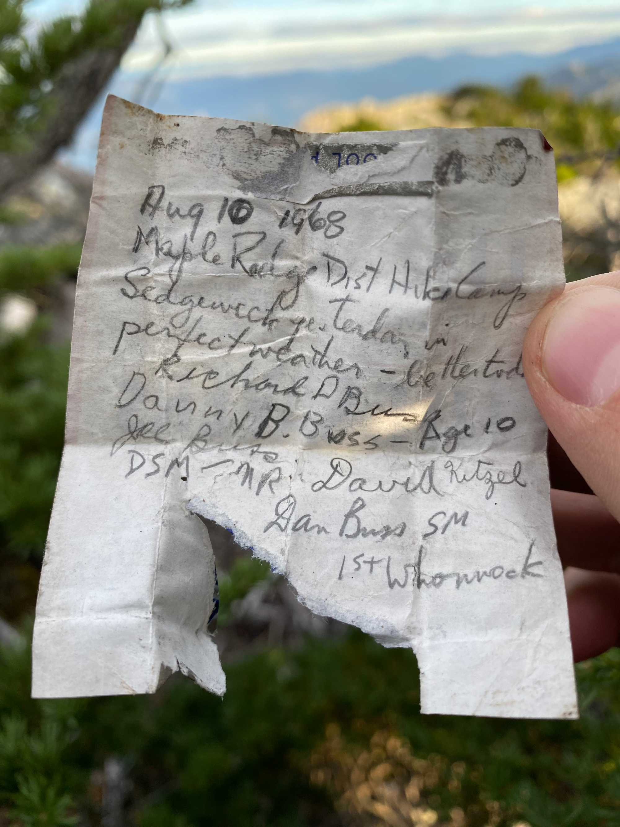
The highest point was a large boulder covered in krummholtz trees. Beneath one of these trees, a well-hidden cairn concealed a small canister containing a summit register. The oldest entry was a BCMC trip from 1943! There were no entries between 1974 and Thomas Morrissey’s trip in 2023.
Sunset was approaching so I camped at a flat area near the peak.

Sept. 22: “Henriette Peak” -> McNab FSR
My original plan was to traverse over Sechelt Ridge, climb the extremely obscure Mt. Donaldson and “Slippery Peak” to the north, then descend from Donaldson to the FSR built for the Woodfibre pipeline. However, the latest forecasts indicated that clouds and rain would roll in mid-morning, and the rest of the trip would be in rainy whiteout conditions. There wouldn’t be any views, and scrambling something called “Slippery Peak” in rainy and slippery weather seemed like tempting fate, so I decided to bail to the pipeline road earlier than planned.
I still had enough time to explore a bit of the ridge before the rain came, so I did a quick 5km out and back from Henriette to “Nootka Peak”, the highpoint of Sechelt Ridge. This was a fun granite ridge walk with very little bush and good views of Sechelt Lake to the south. Nootka Peak had a large, partially collapsed summit cairn but no sign of a summit register. On the way back the rain started.
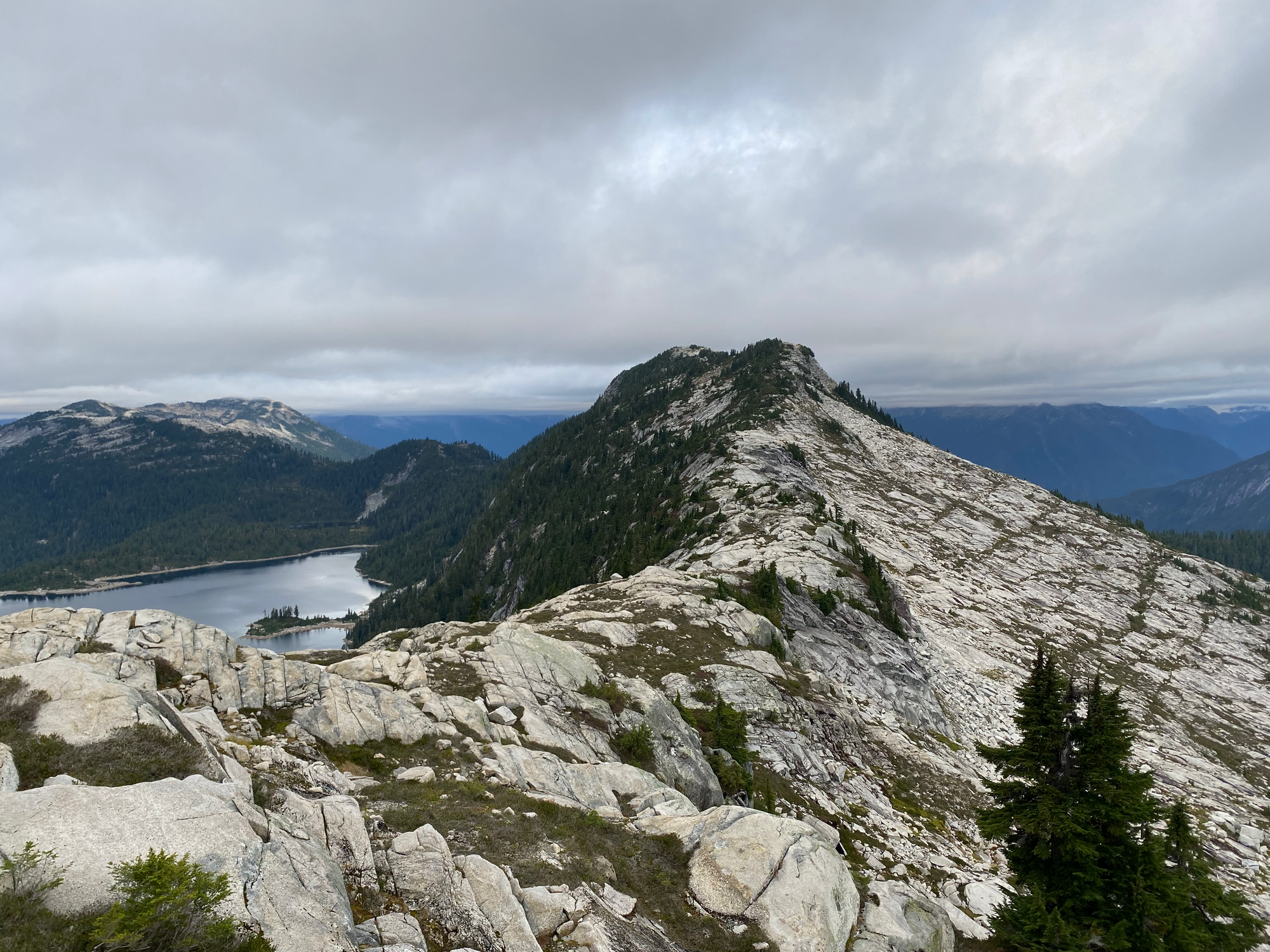
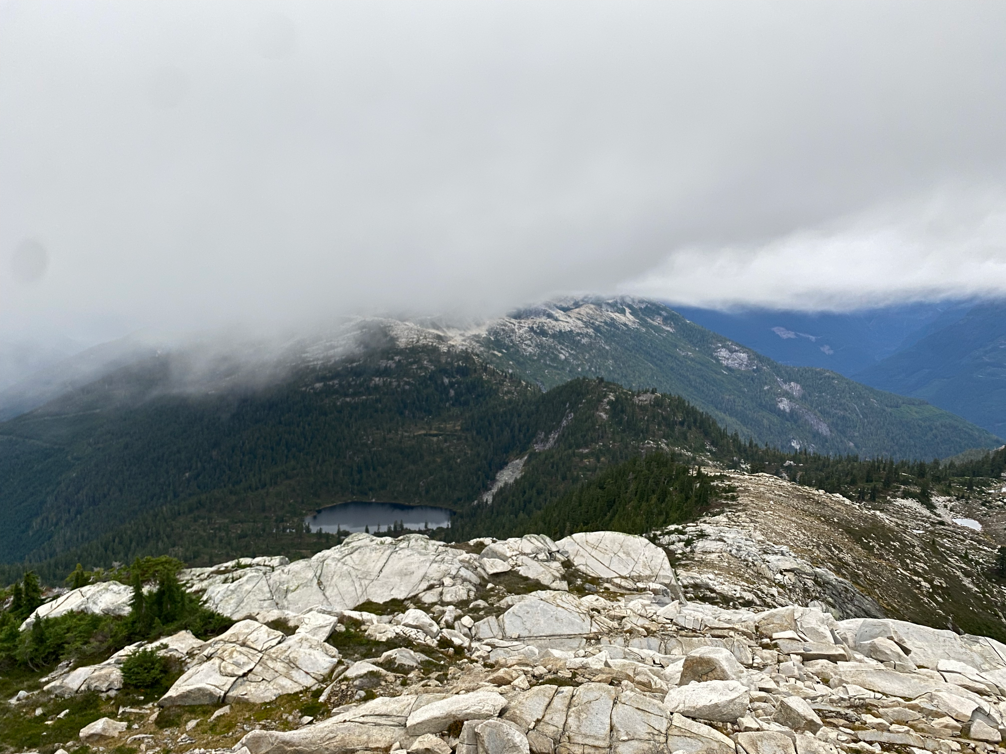
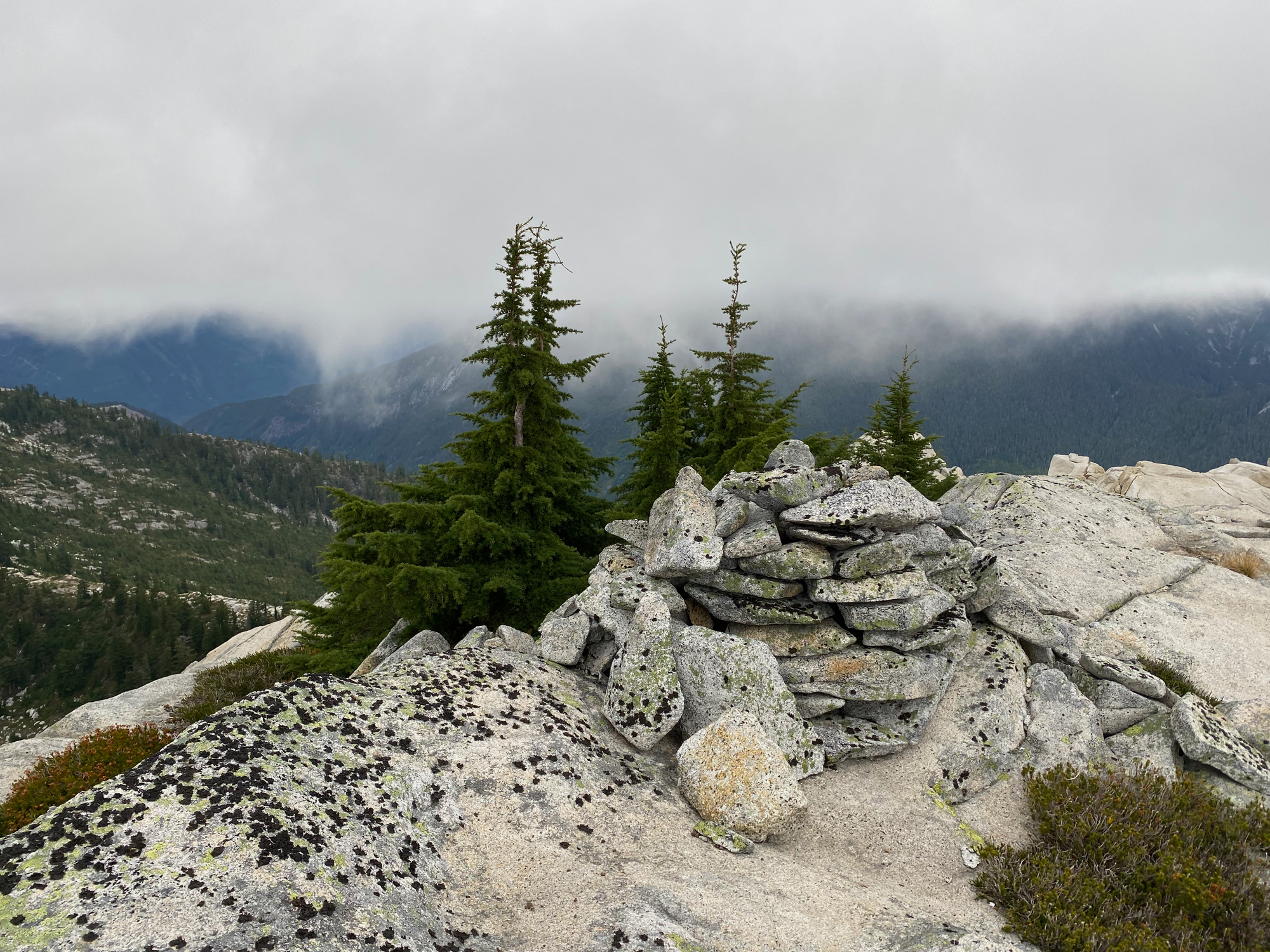
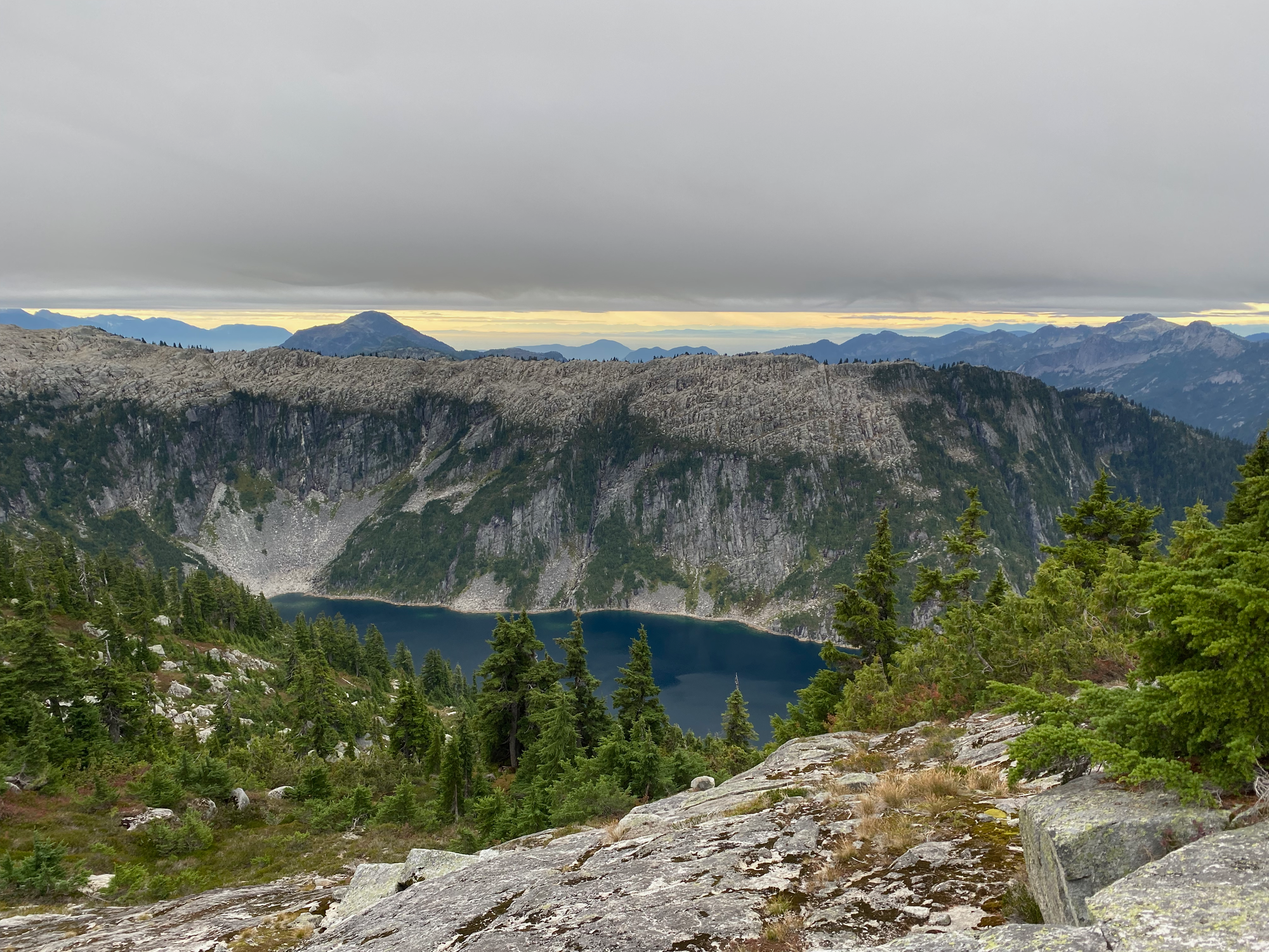
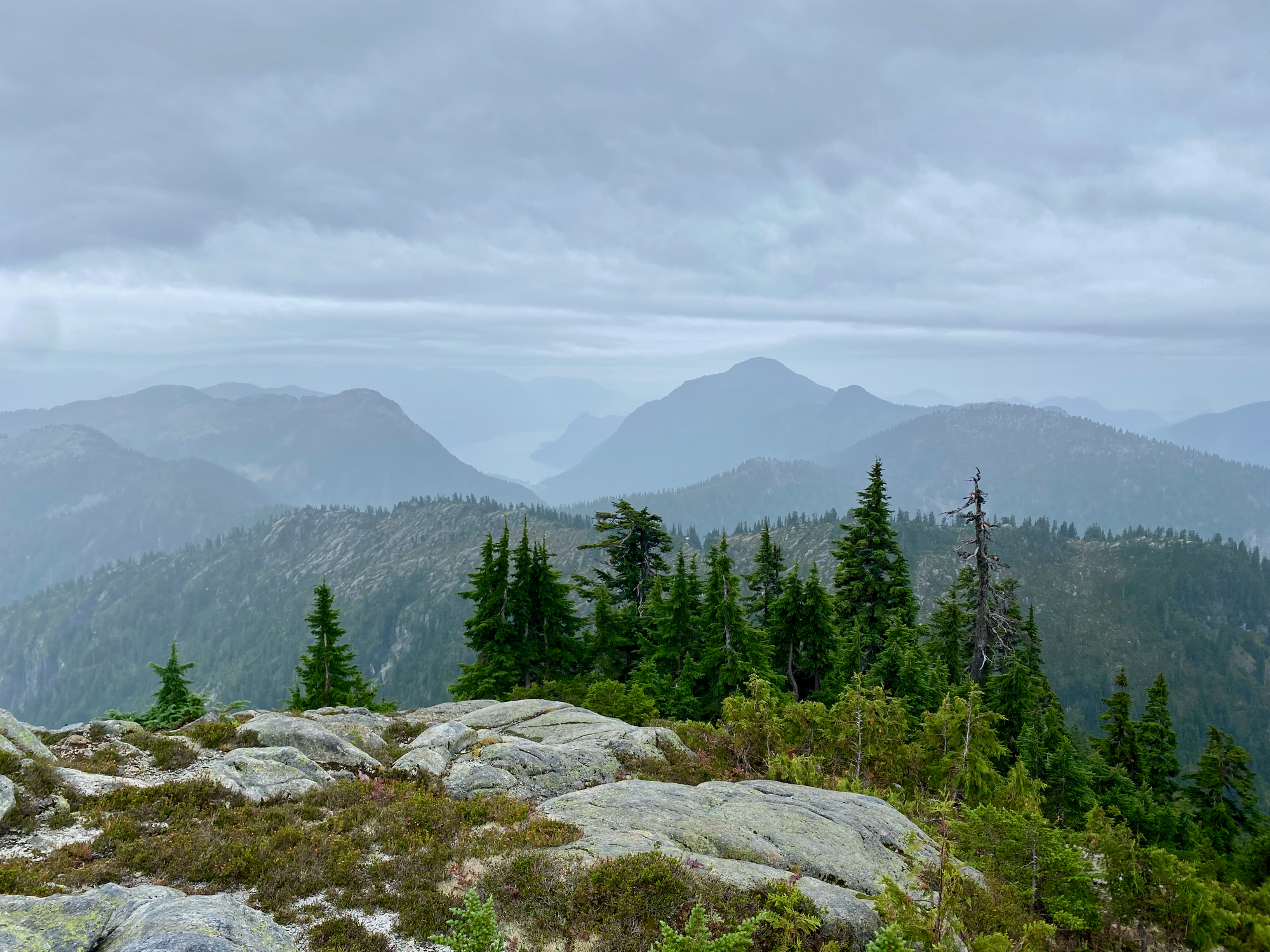
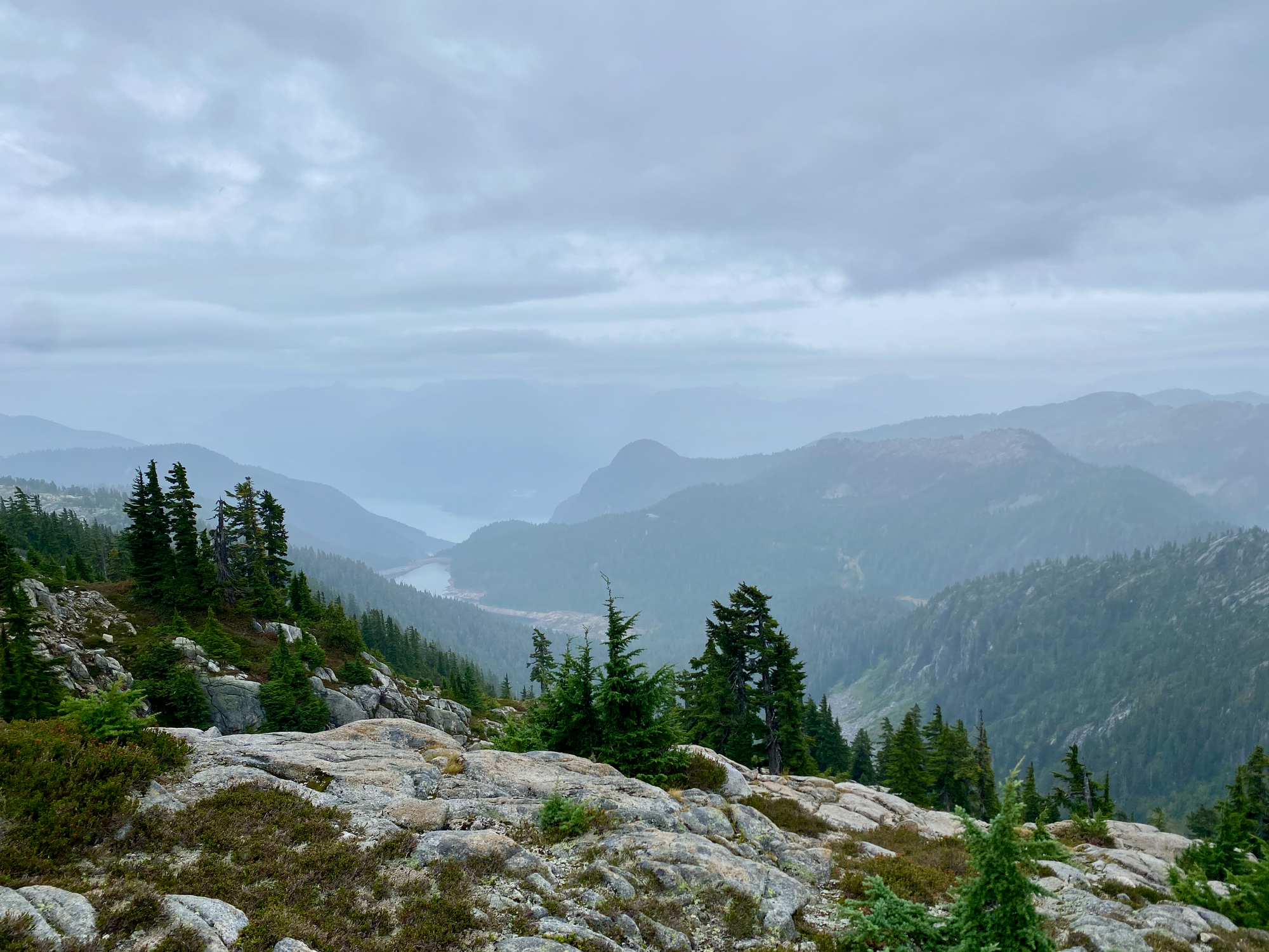
The descent from Henriette Peak was frustrating. Each shrub was covered in water, and within seconds of entering the bush, I was completely soaked. About halfway down I had to ascend 100 metres up a small ridge with steep, shrub-filled gullies. Some microterrain had to be negotiated along this ridge.
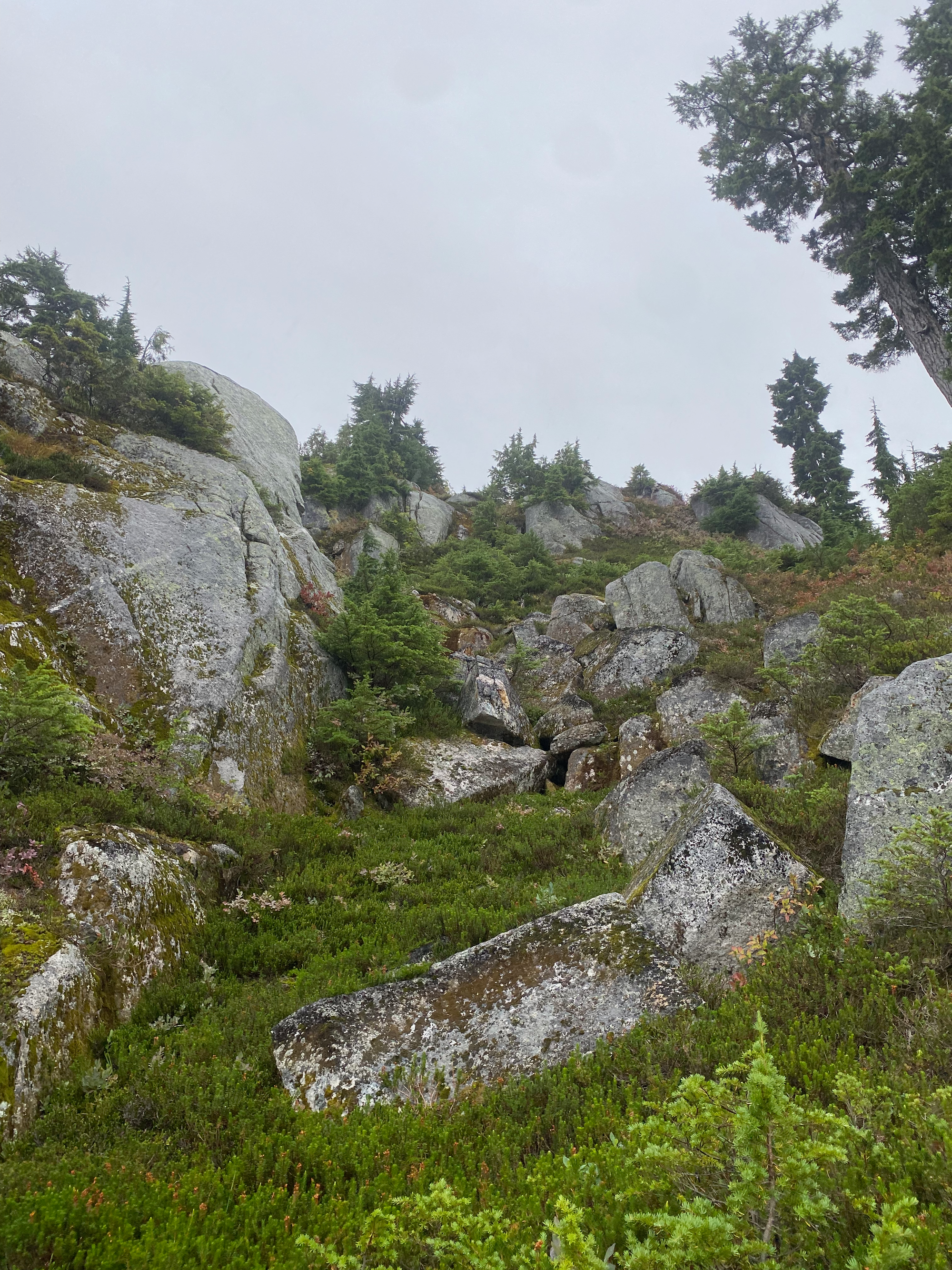
Near the end, I took a shortcut downhill to bypass a granite wall, but the wall kept going for hundreds of vertical metres, and I ended up descending another very steep gully. On the bright side, the gully had several stands of large old-growth trees that had not been seen by anyone in a long time. Eventually I reached an old FSR.
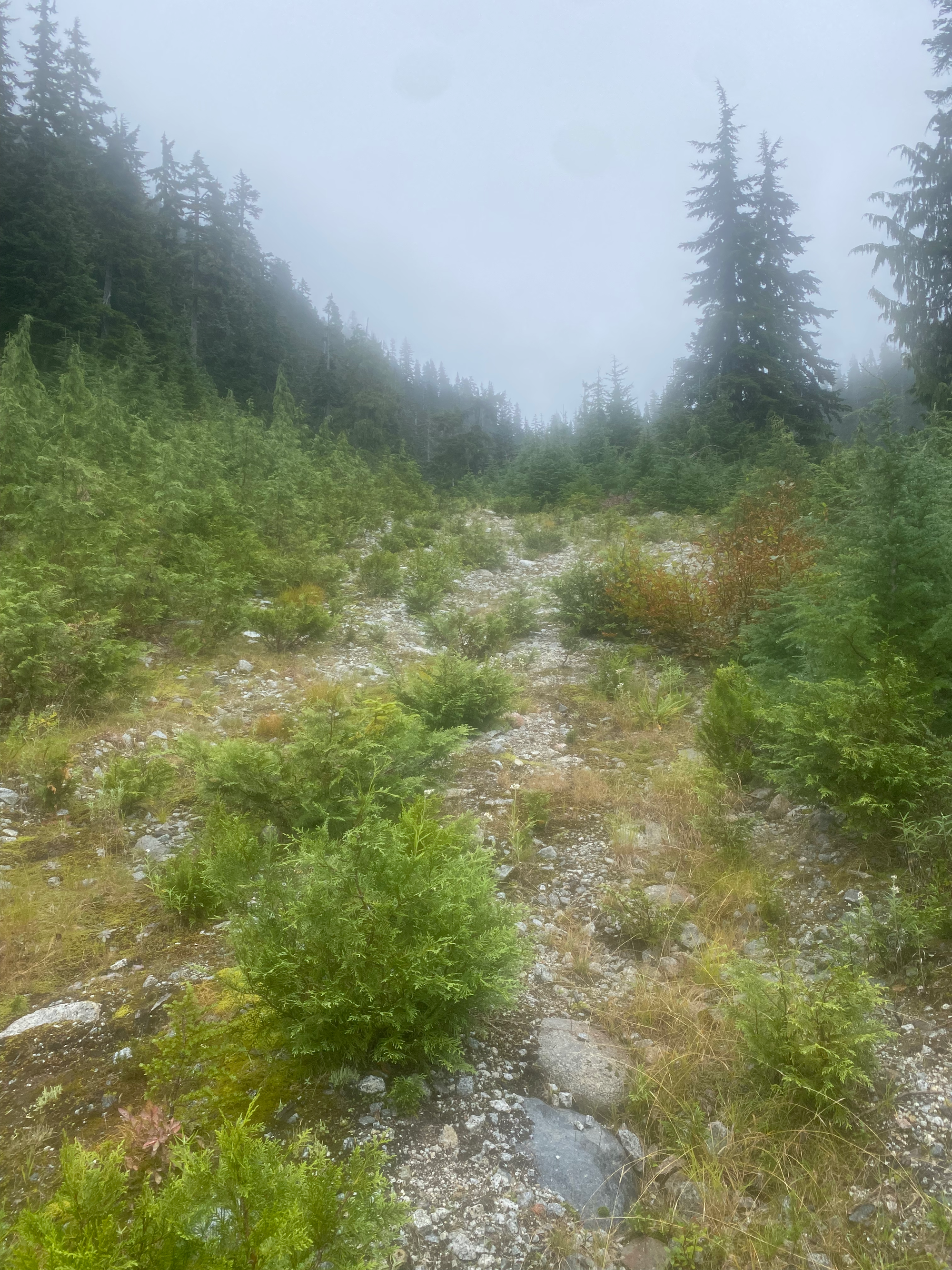
The road led west through alder patches and bogs. After a couple kilometres it joined a much newer road.
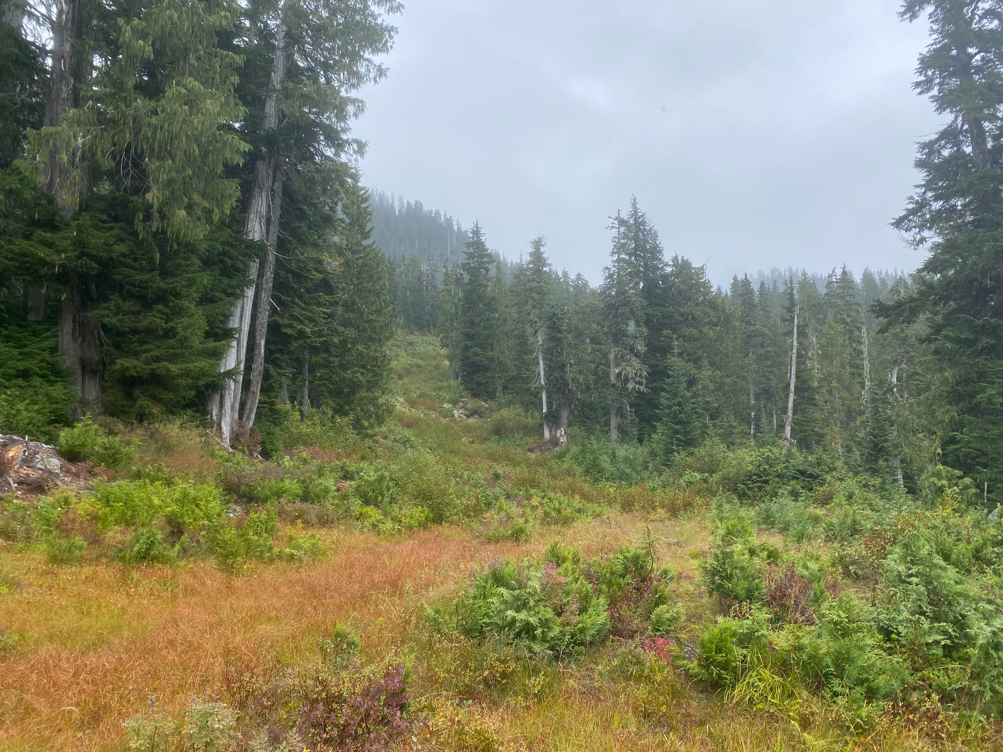
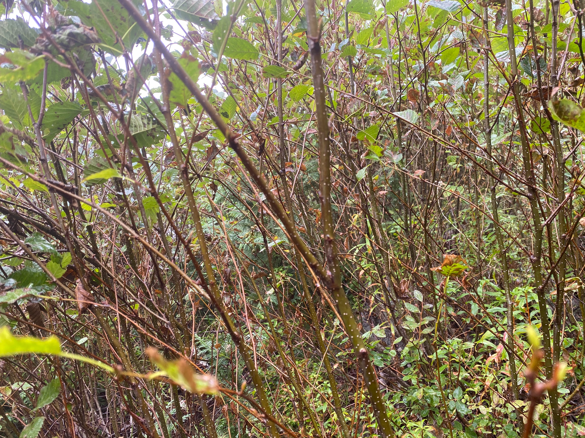
Thanks to logging and pipeline operations, a large array of new roads have been built recently, most of which aren’t shown on my maps or any mapping applications. Luckily I had recent satellite images of the area. The new road I was following split into several branches, which dead-ended at a powerline, but satellites showed another new road heading west on the other side of the powerline. This road had markers indicating the path of the LNG pipeline. A kilometre or so later, the pipeline markers continued along an abandoned road to the southwest, which I followed to Sechelt Creek. I walked through the creek, which was about ankle-deep, but I was so soaked that that made no difference. After about 50 metres I reached the McNab FSR which was in much better shape (could be driven by most cars). Note: about 200 metres to the northwest along McNab, there is a brand-new bridge over Sechelt Creek, which seems to connect to the road I left earlier.
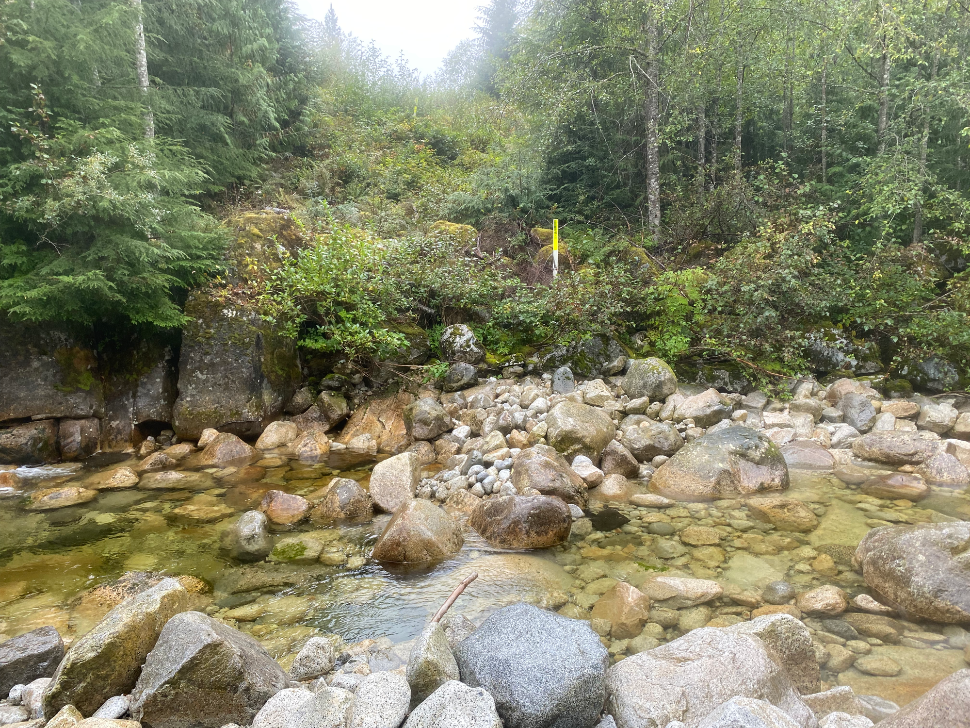
I walked down the road for a couple kilometres then made camp by the side of the road, enjoying my (mercifully somewhat dry) sleeping bag. Over sixteen hundred vertical metres of ascent awaited me the next day…
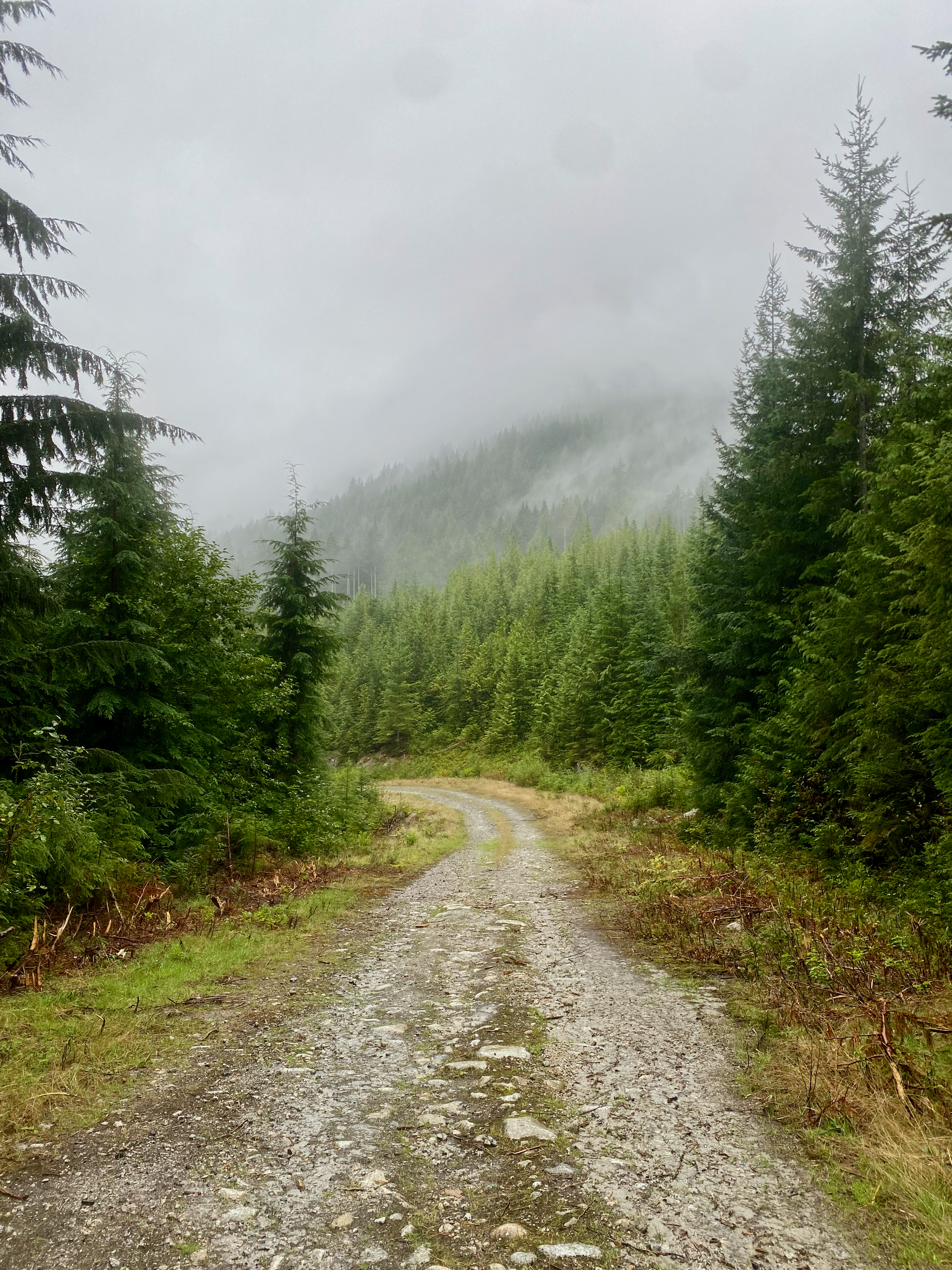
Sept. 23: McNab FSR -> Port Mellon
I had to get over the ridge containing Mt. Varley to get to my destination, Port Mellon. My plan was to scramble up a spur to the south of McNab Creek, then head south on the main ridge.
I climbed up McNab Creek for a few hundred metres to avoid a cutblock, then headed for the ridge.
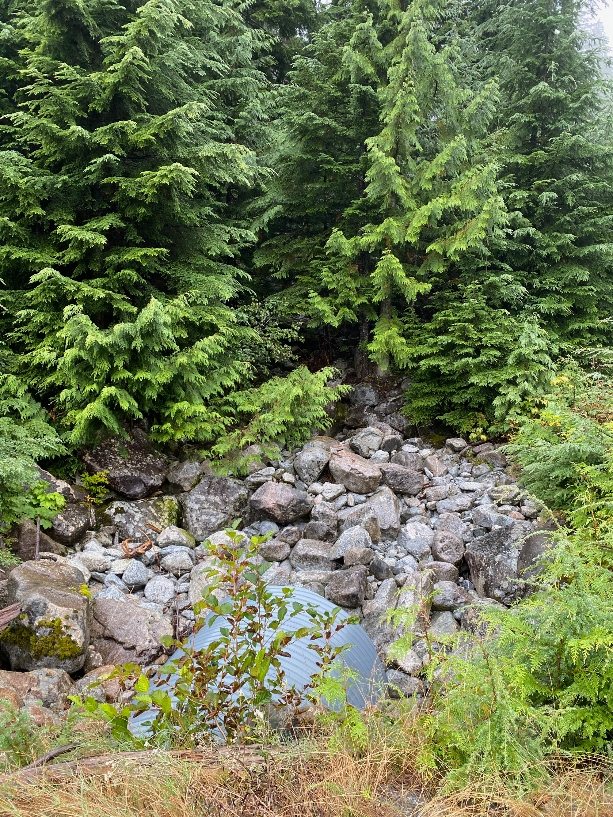
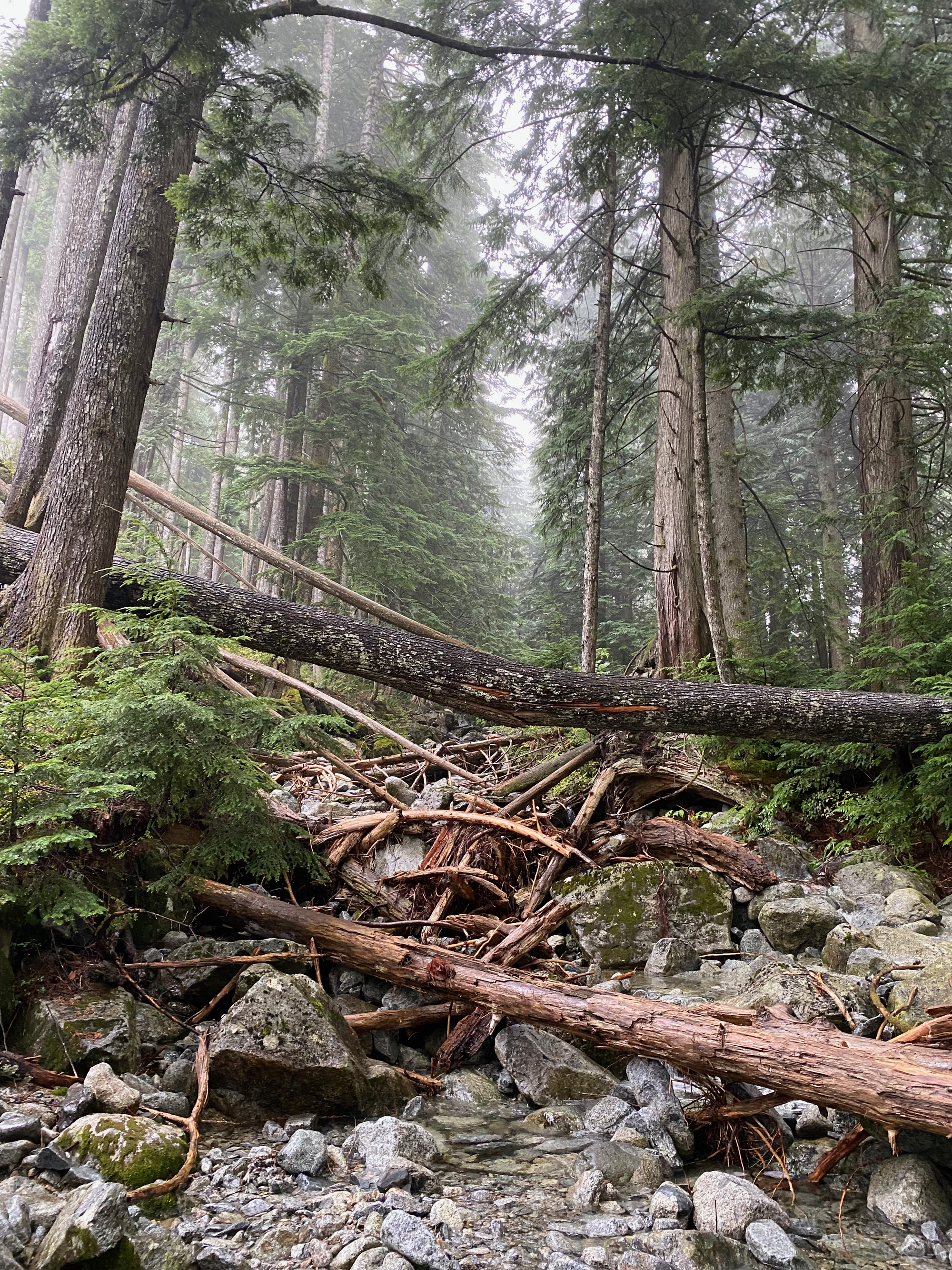
The bushwhacking wasn’t too bad at first but it got much denser as I approached the subalpine. The rain hadn’t stopped and I was soaked as soon as I left the creek bed. There was one flagged section around 980m that would be an easy class 3 scramble in dry conditions but a slippery death trap in this wet weather. This was bypassed to the left (southwest) with a short ascent up a steep gully, using blueberry bushes for support. I ended up on a small bump 1000m above my camp, then went south.
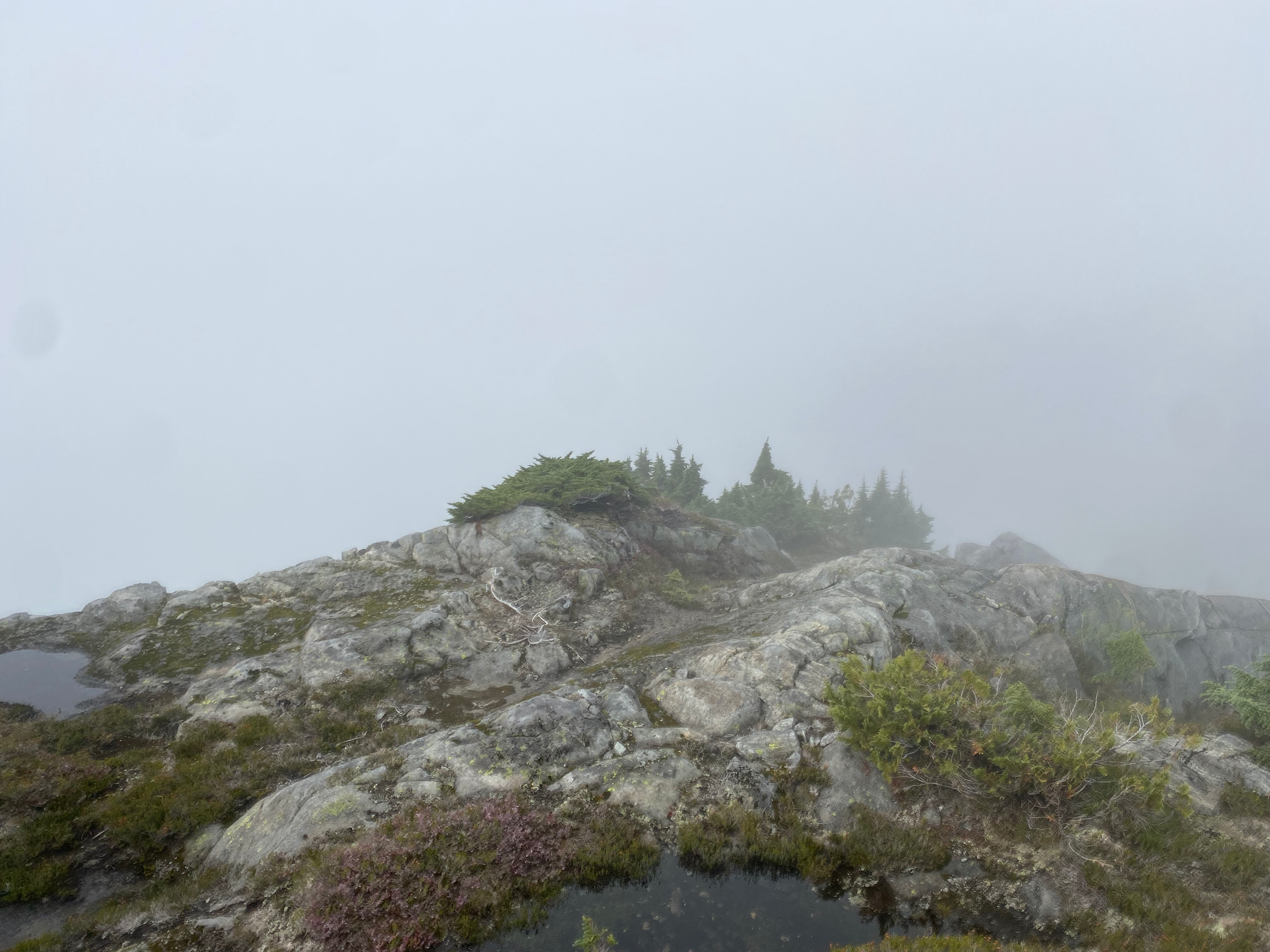
The ridge contains two small peaks known as the “McNab Lions”, although they’re much shorter and less technically demanding than the original Lions. I traversed gently sloping granite at about 1450m altitude, climbed to the base of the West Lion, and easily scrambled up the peak from there. There is some broken weather equipment (?) on the peak. I couldn’t even see the East McNab Lion and didn’t bother with it. According to Fairley it’s slightly more technical than the West Lion but still not too difficult.
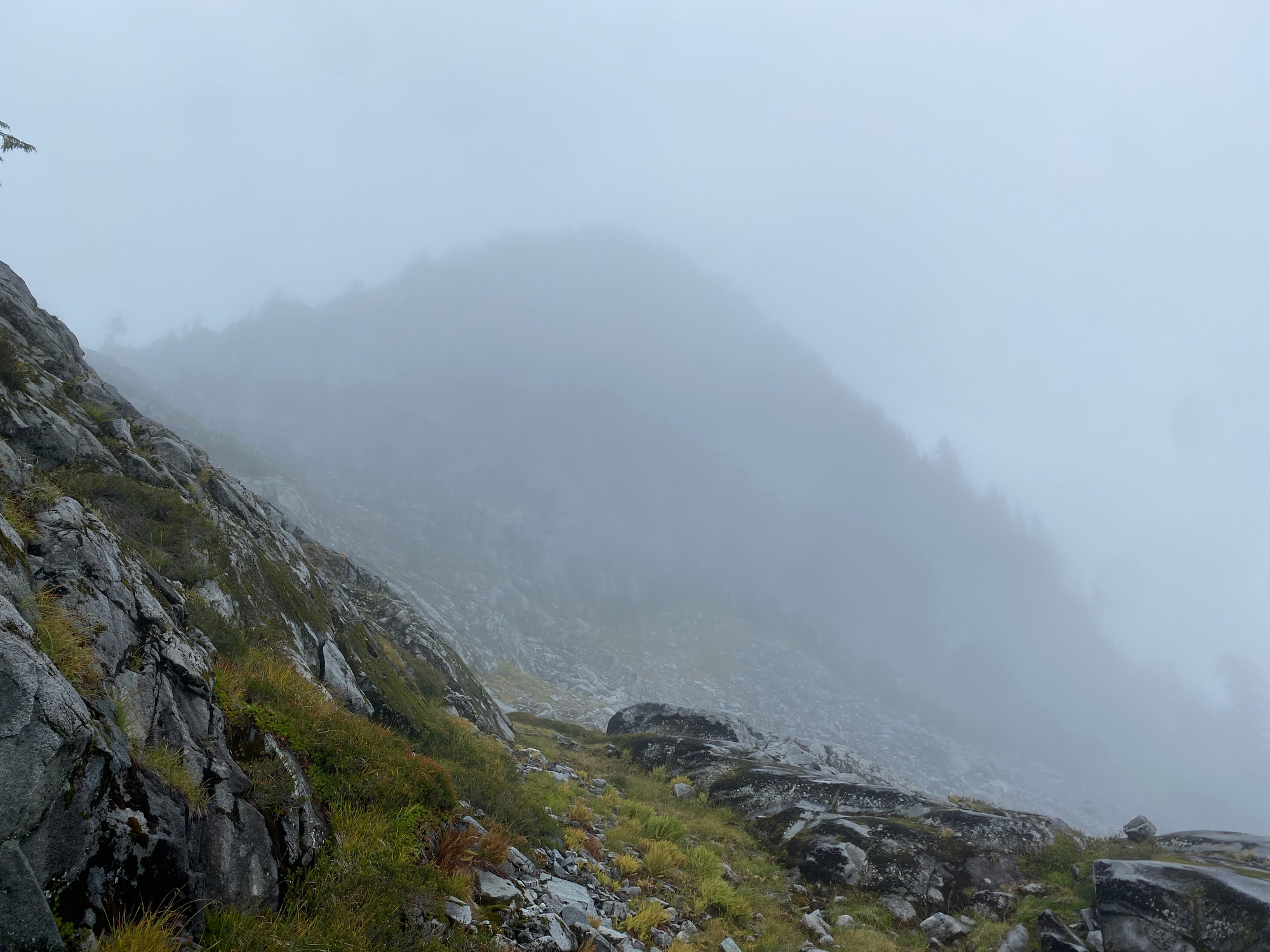
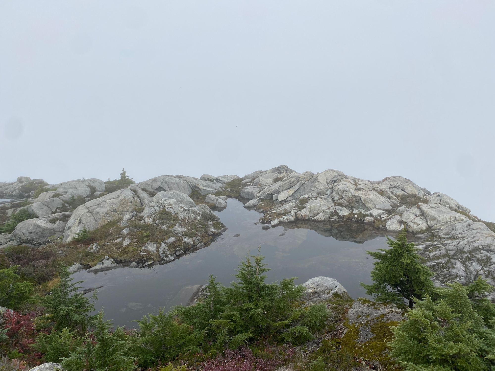
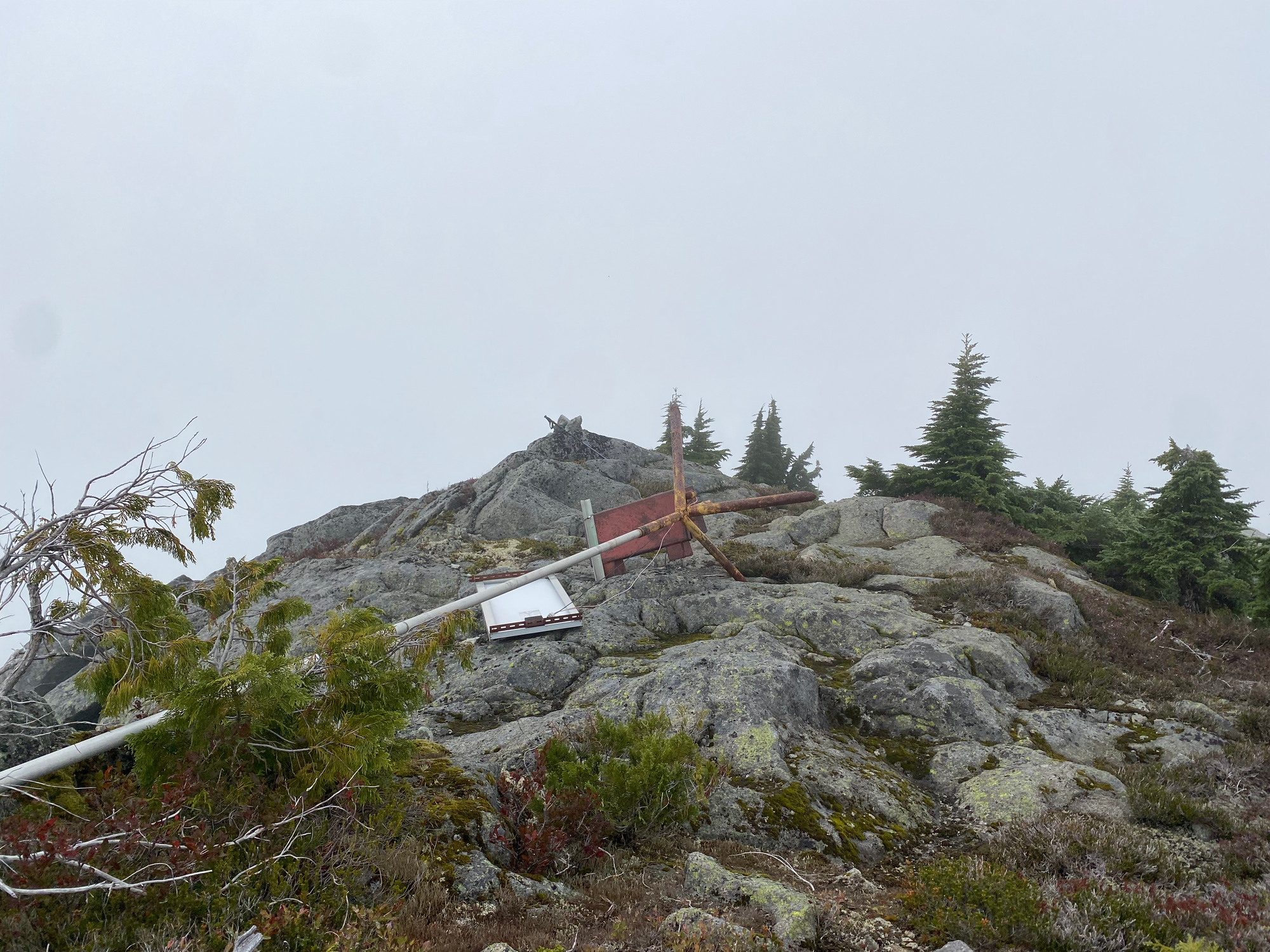
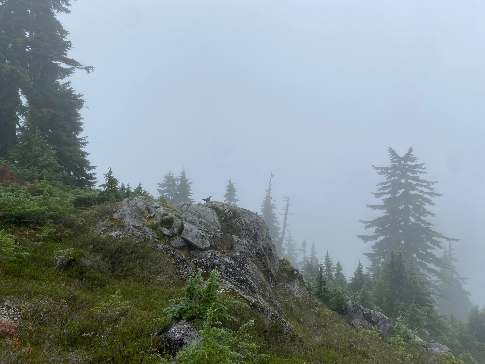
A few small bluffs and micro terrain scrambles later, I was at the base of Mt. Varley. A granite wall loomed up in front of me so I traversed to the right (west) to gain the ridge. It turned out that this was only a false summit: the true summit involved a traverse along down-sloping blueberry bushes that would be straightforward in dry conditions but was a bit dicey in the rain. Throughout all of this the clouds never cleared and there were no views.
To descend I headed due south between two creeks, then popped out at a cutblock. There was plenty of shnarb to walk through and at one point I fell in a large hole. I crossed an alder-choked road, descended a boulder field, then reached another old FSR around sunset. This eventually connected to a much newer FSR that connected to the Rainy River mainline.
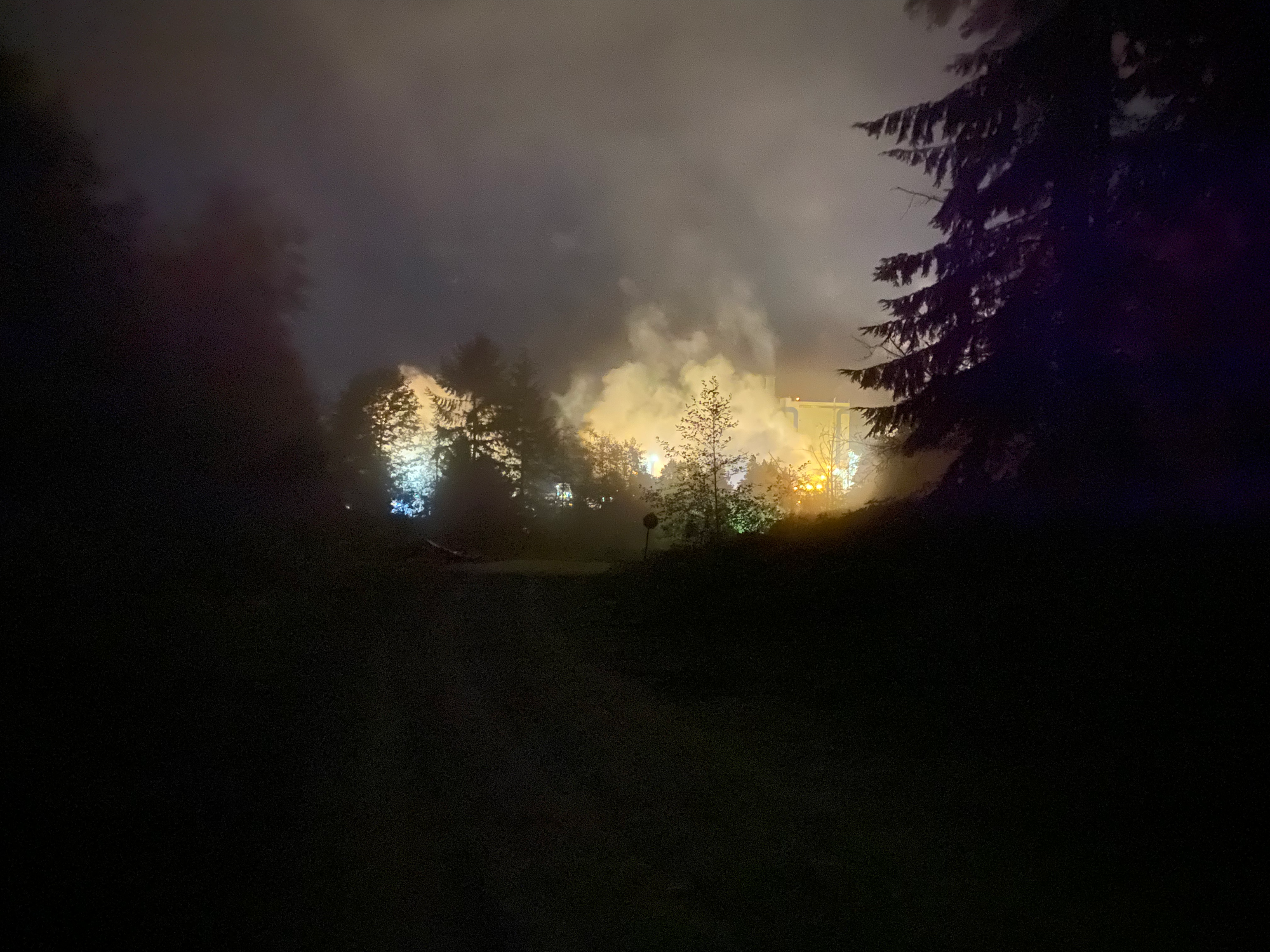
At the Rainy River FSR, I retrieved a previously stashed bike - hard to find in the dark - and biked about 7km to Port Mellon. Something was wrong with the bike; the front wheel was wobbling and at one point I wiped out. In the distance the lights of Port Mellon glowed like a wildfire. I eventually made it to the mill, biking past massive industrial plants.
The gatekeeper, the first person I’d seen in five days, was quite concerned (in a friendly way) when she heard what I’d done. Mostly for my safety, but also because Port Mellon has no standard administrative procedure for people who exited but didn't enter and are therefore not in the logbook. I caught a ride from the gate to Langdale (thanks, Phil!) and arrived in time to catch the last ferry home.


Member discussion