Sootip Peak
Date: November 16, 2024
Distance: 12.25km (from spur road at 1150m to peak via summer trail), 8km (from start of summer trail to peak), about 11km (winter trail, starting at the cabin)
Elevation gain: 886m (from 1150m spur road), about 650m (from summer trailhead)
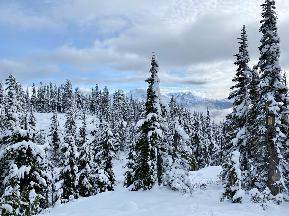
Sootip Peak is an obscure peak to the north of the Soo River between Pemberton and Whistler. Its location gives it excellent views of most of the major Whistler-area peaks, especially the Wedgemount Lake peaks and Ipsoot. It’s become more popular recently, especially since the area was recently logged, improving road conditions.
It’s mostly a mountain biking destination, but it also lends itself well to hiking. Its relatively high elevation and lower (not low) avalanche risk makes it a good shoulder season snowshoeing/touring destination. However, the access road (Soo River FSR) is closed to motor vehicles between December 1 and May 31, cutting the snowshoeing season short.
There are two routes to the peak. The more direct (western) trail ascends directly to the base of the summit. The more scenic winter route (the Alltrails route) heads east from a biker’s cabin, then north to gain the long ridge leading to the peak. It then continues west along the ridge, passing many picturesque alpine lakes, to meet with the direct trail below the summit.
Attempt 1 (November 3, 2024) (Ridge Route)
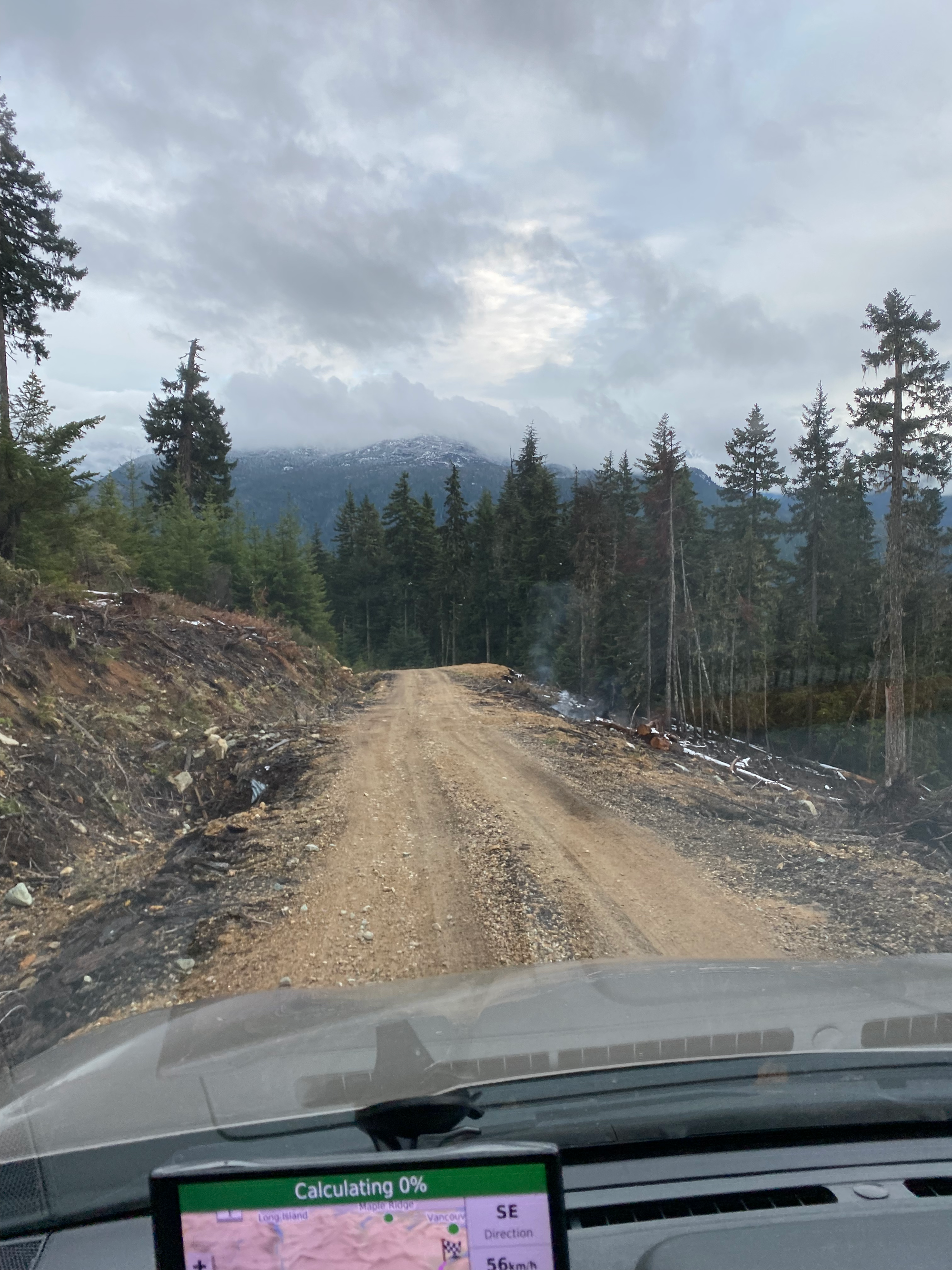
After a couple weeks of bad weather everywhere, there seemed to be a decent weather window around the Whistler/Pemberton area, so Sootip Peak seemed like a good destination. The turnoff to the Soo River FSR was easy to miss. After about 8.4km, I headed north (right) on the branch leading to the Sootip trailhead. This had a few steep sections and some waterbars but was very doable with my medium clearance AWD vehicle.
At about 1150m, a spur road branched off into a very recent cutblock. There were several smoking piles of recently burnt deadfall. Alarmingly, I could smell smoke at various points along the ridge.
The road got snowier and slightly rougher from there. There was too much snow for me to drive to the parking lot at the cabin, so I had to turn around and park on a spur road at 1340m. This is one of the very few parking spots between the 1150m spur and the trailhead.
From there, I soon reached a T-junction at 1350m. The right (east) road brought me to the cabin in 0.5km.
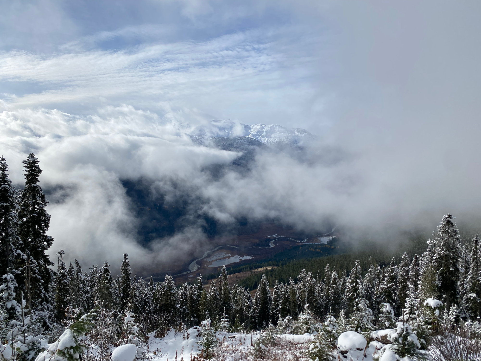
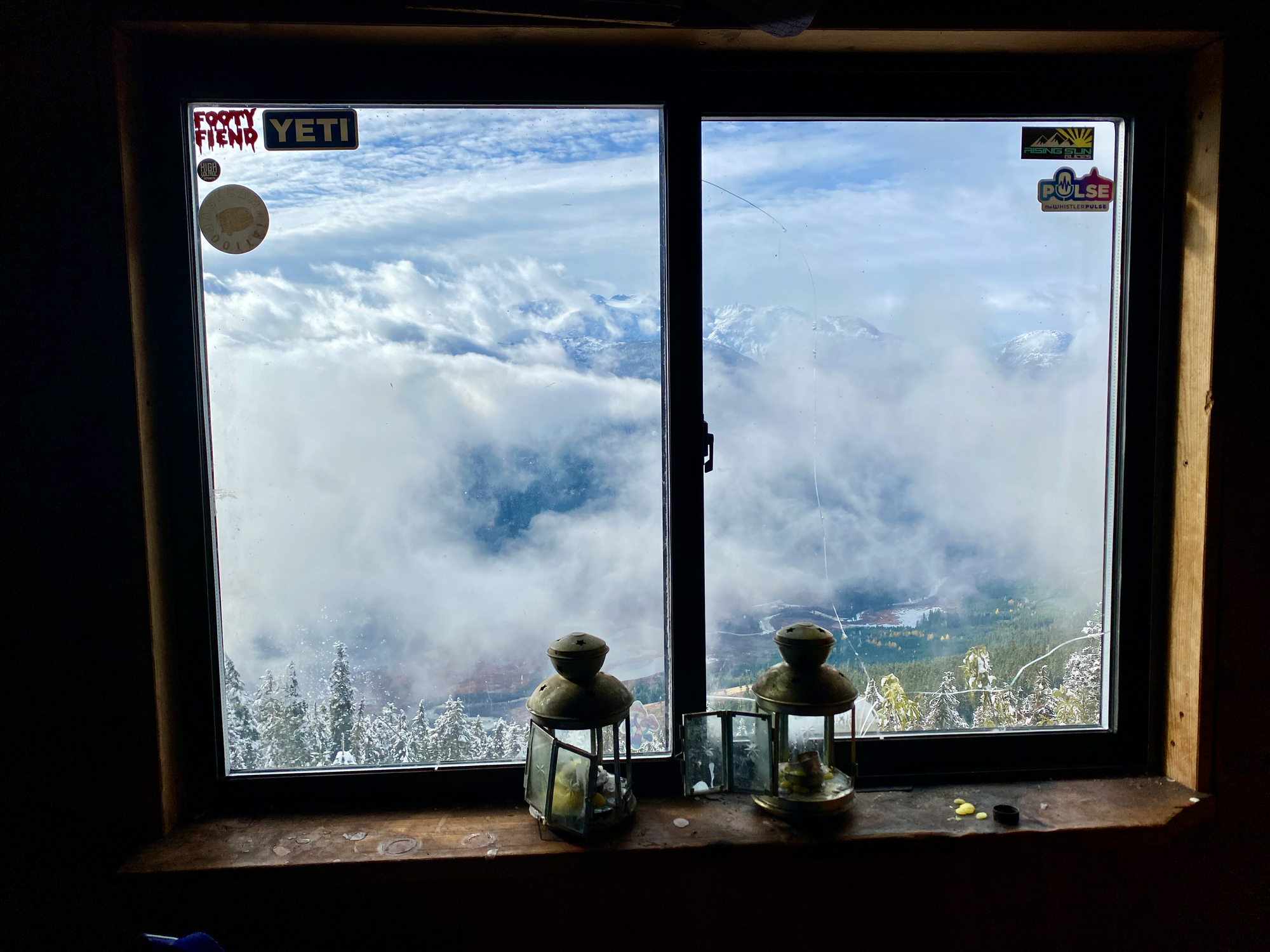
The ridge trail starts at the cabin, heading east, then north. At about 1600m I passed a flat area with the first of many lakes. The trail ascends a creek then crosses it to gain the ridge. The creek wasn’t quite frozen yet so the crossing was awkward.
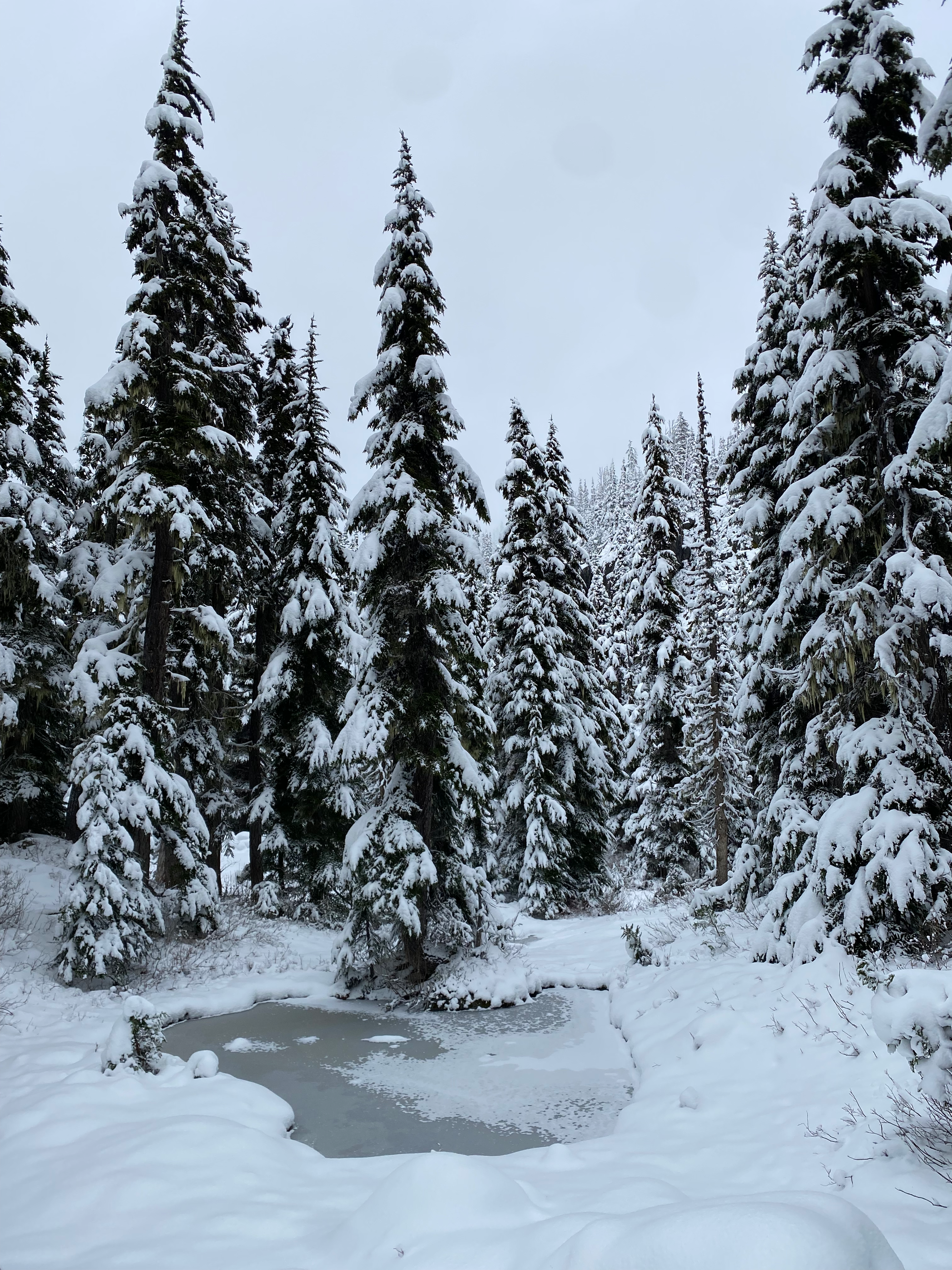
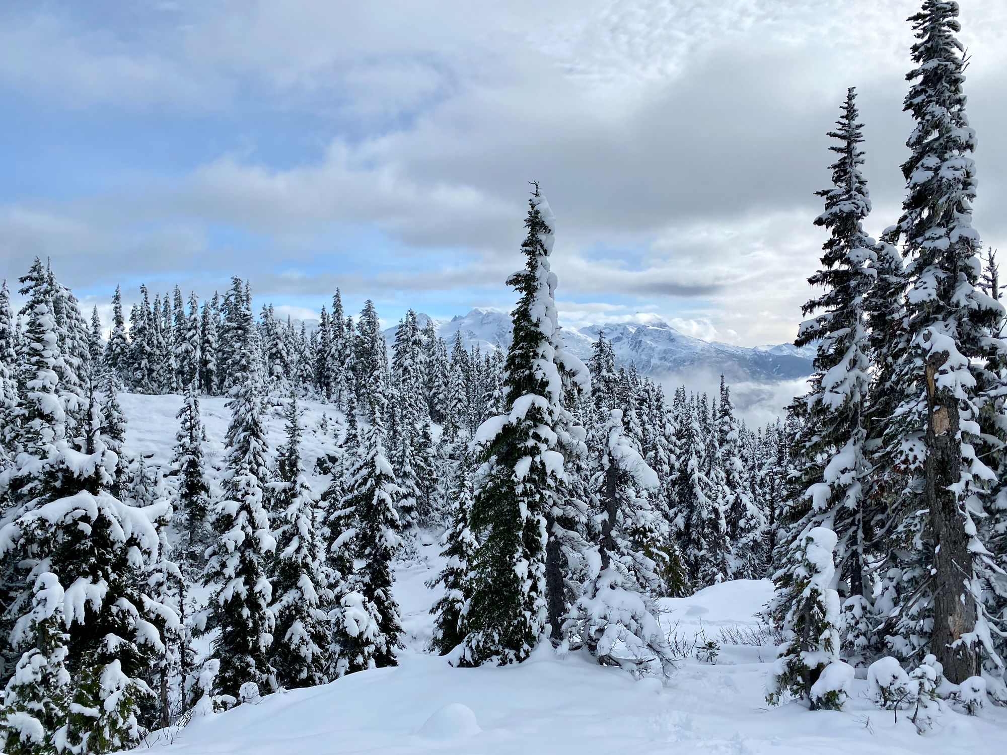
After that, the route meandered west along the ridge. There were several ups and downs, mostly gentle, and many more lakes. At first there were good views of Wedge, Currie, and other peaks through the trees, but then a whiteout rolled in. Trail breaking became increasingly annoying as I gained elevation.
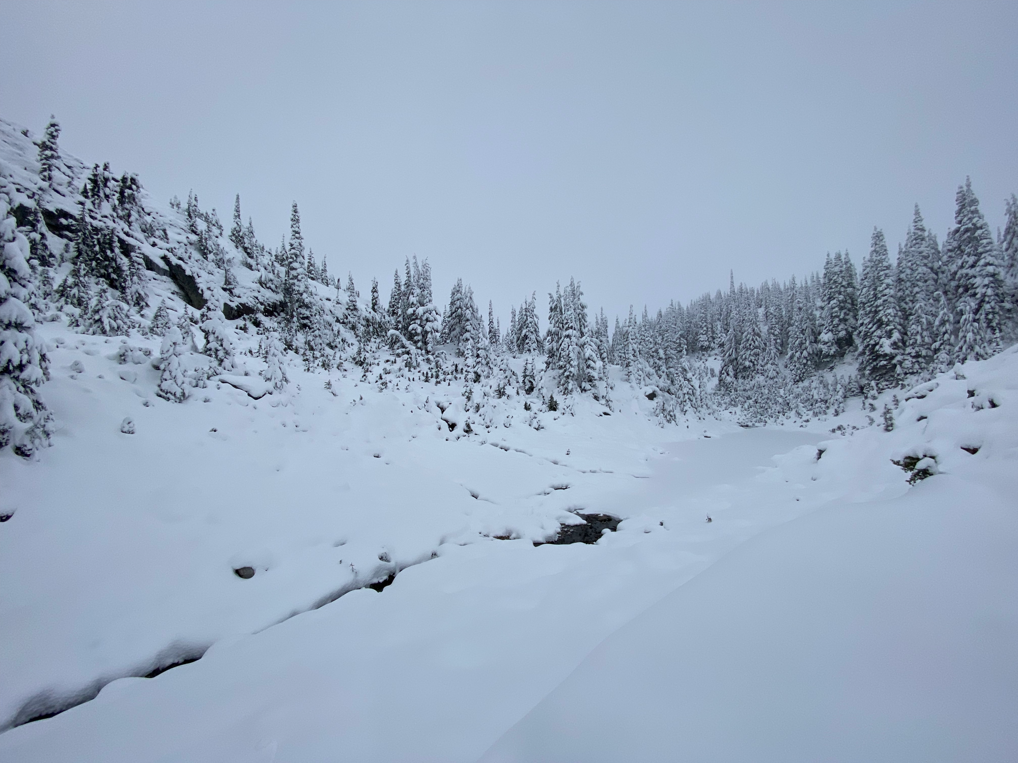
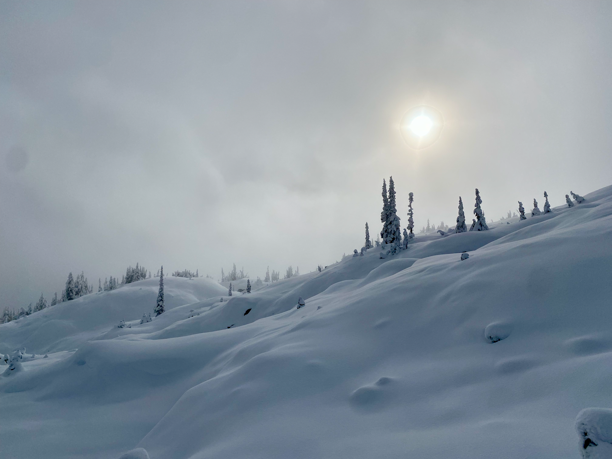
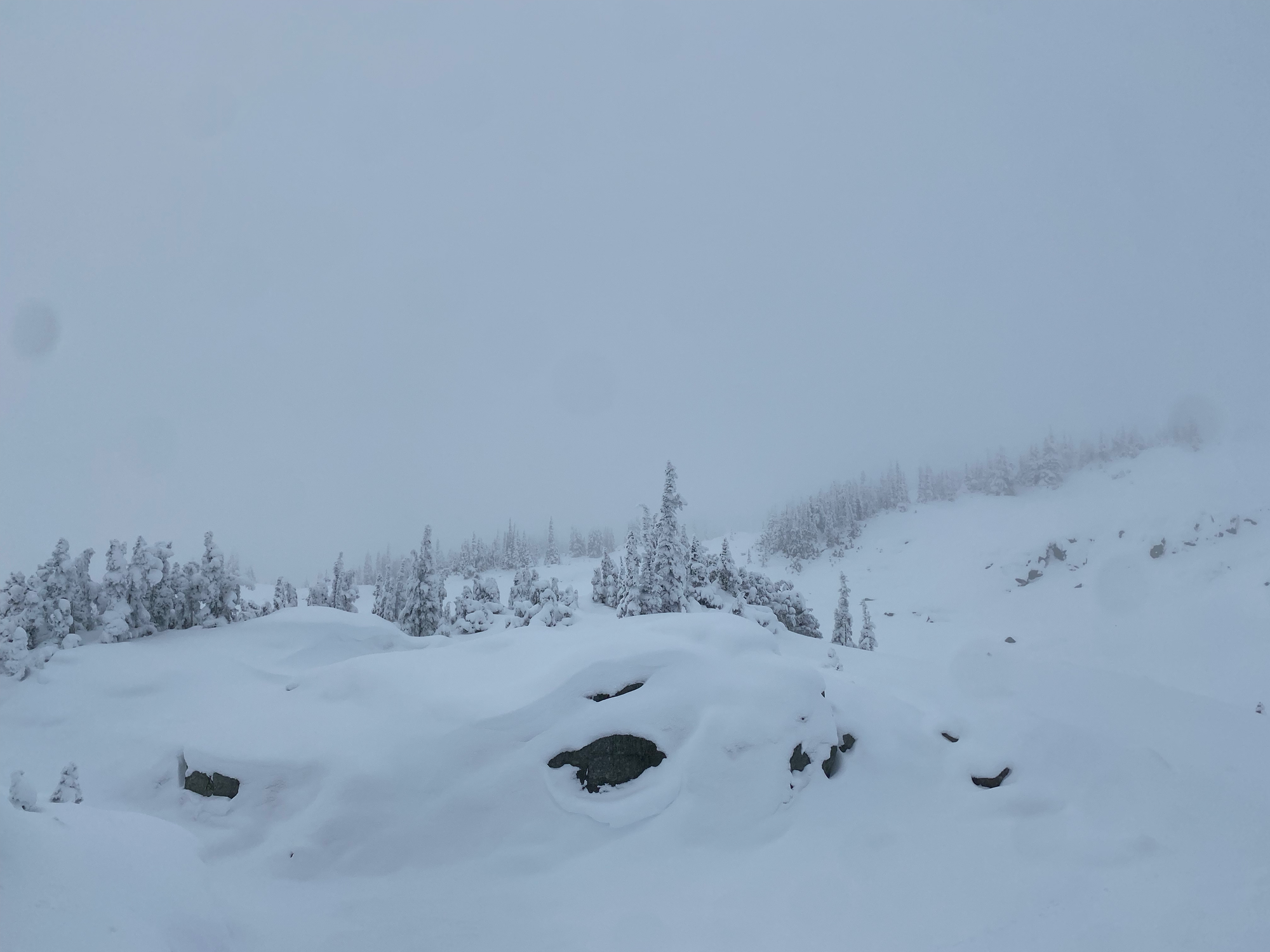
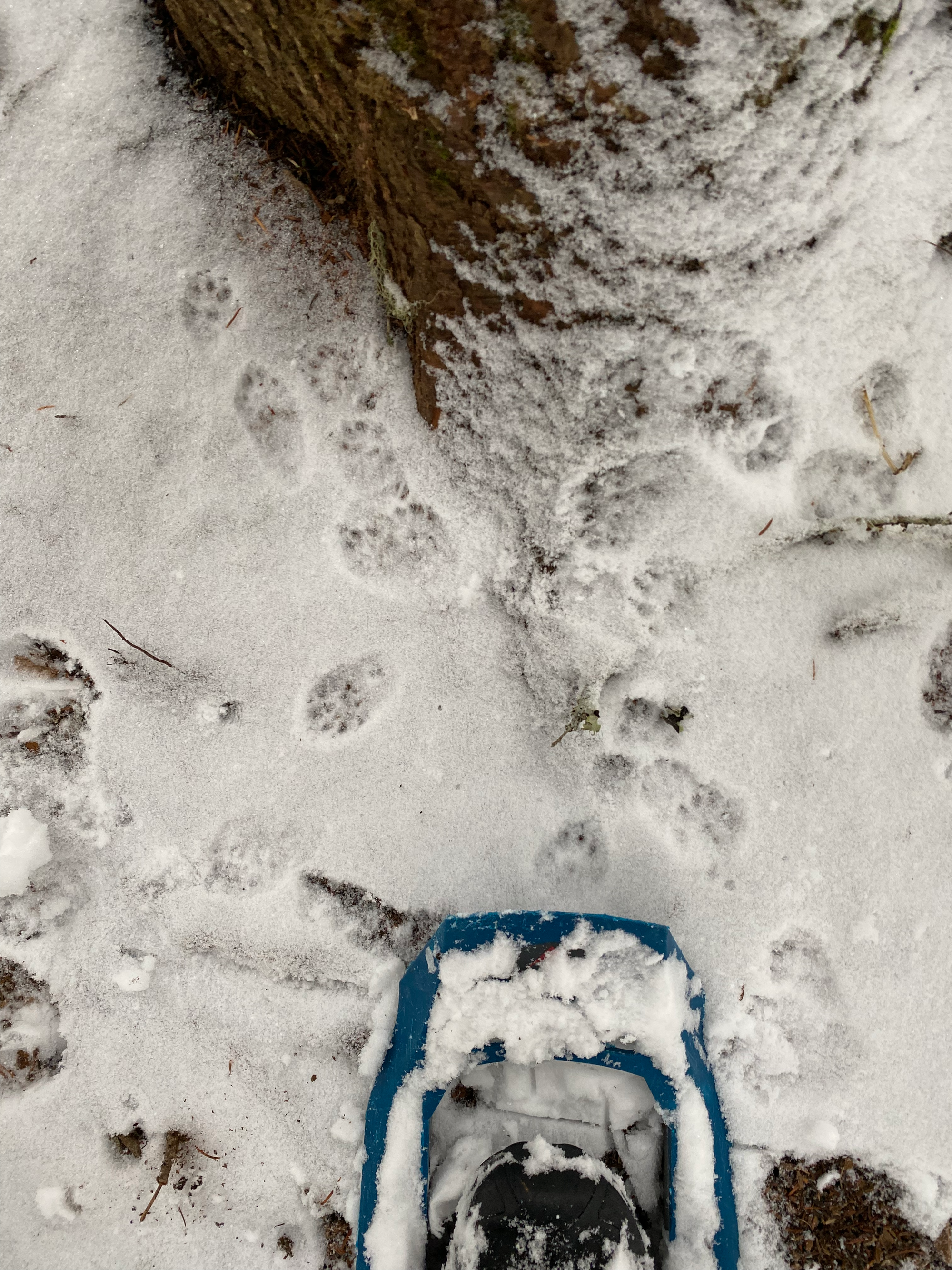
At about 1850m I reached the junction with the direct trail. I was running out of time, and there would be no view on the summit anyway, so I decided to just explore the summer trail. It descended a wide valley, then entered the forest. At about 1400m it swings east to connect with a branch of the FSR, where I met a family with several young children building snowmen. A brief snowball fight took place, then I returned to my car.
Attempt 2 (November 16, 2024) (Direct Route)
There was another weather window a couple weeks later. I messaged various outdoor groups and Robert and Erik joined me for another attempt at Sootip. We made it to the peak, taking the western route both ways.
Snow started around 1000m. We parked at the spur at 1150m and walked up the FSR for about 2km. At the T-junction, we headed left, and soon we were on the main trail.
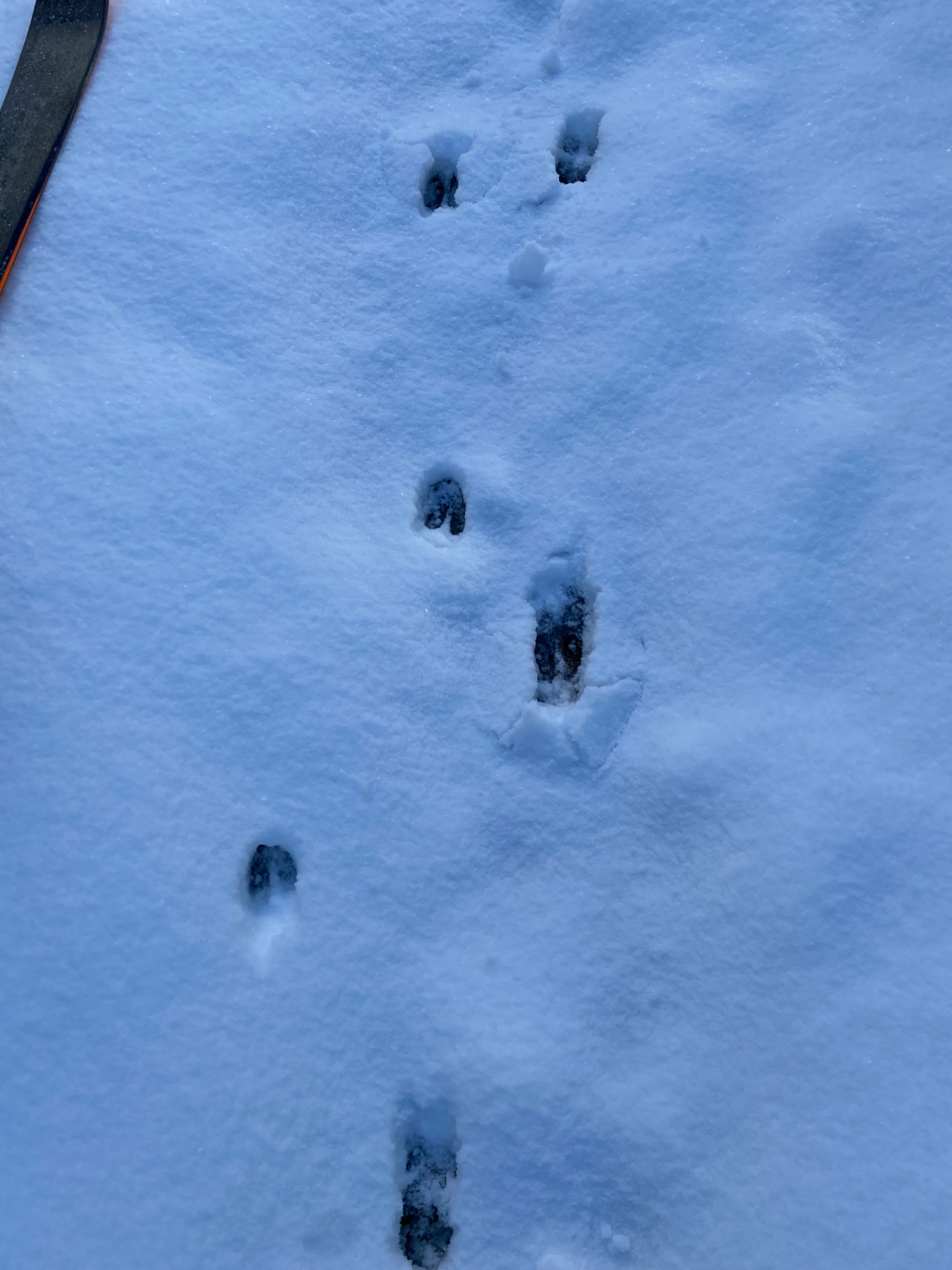
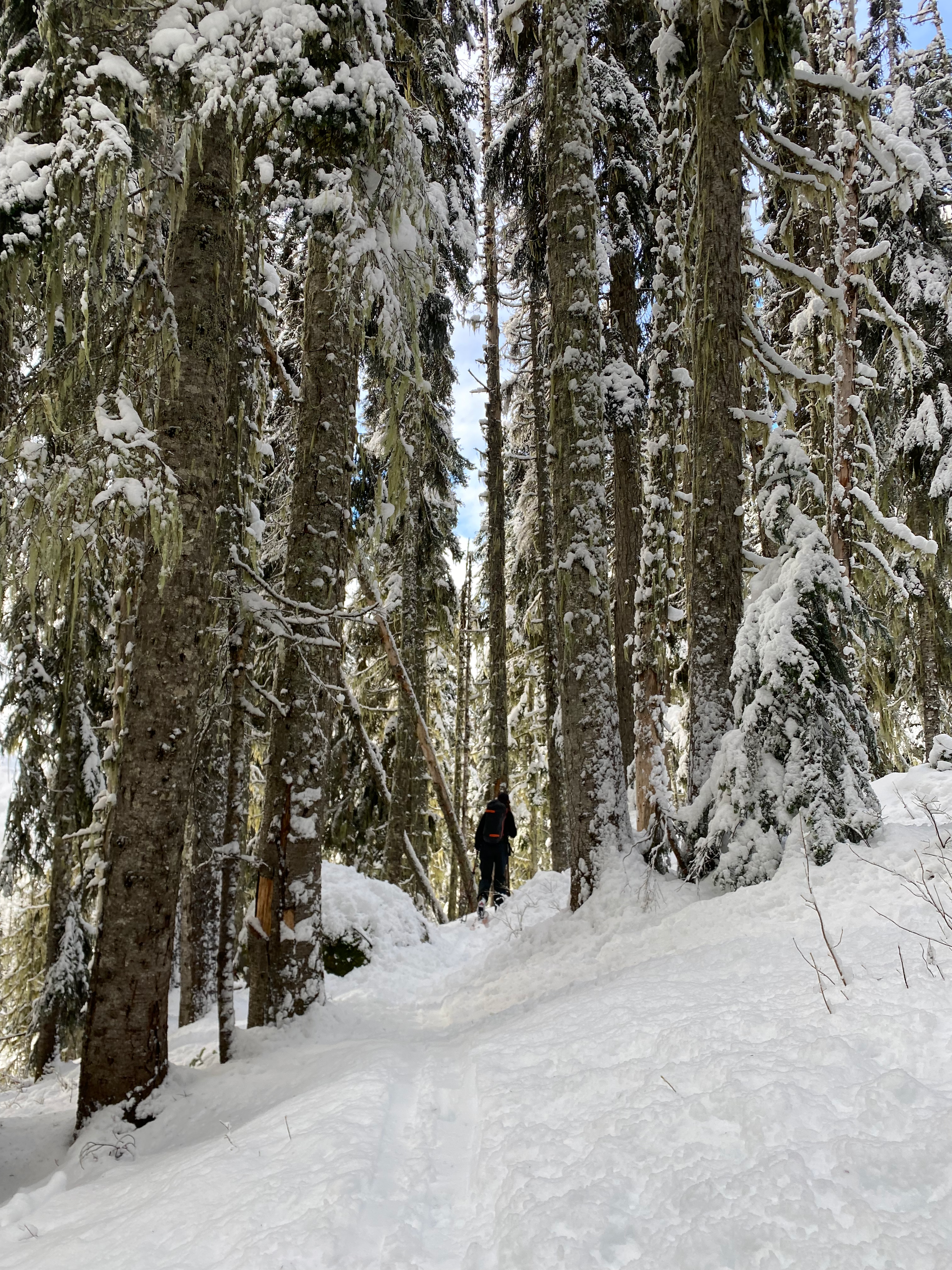
The mountains had just received a massive amount of snow, making trail-breaking difficult. It didn’t help that my pole broke. Even with Erik breaking trail on skis ahead of us, Rob and I still sank up to our knees, then up to our shins.
At about 1750m we left the treeline. The summit was just barely visible through the clouds, so we went northwest towards it. There was a long stretch with some ups and downs, then a steeper final push due west to the summit.
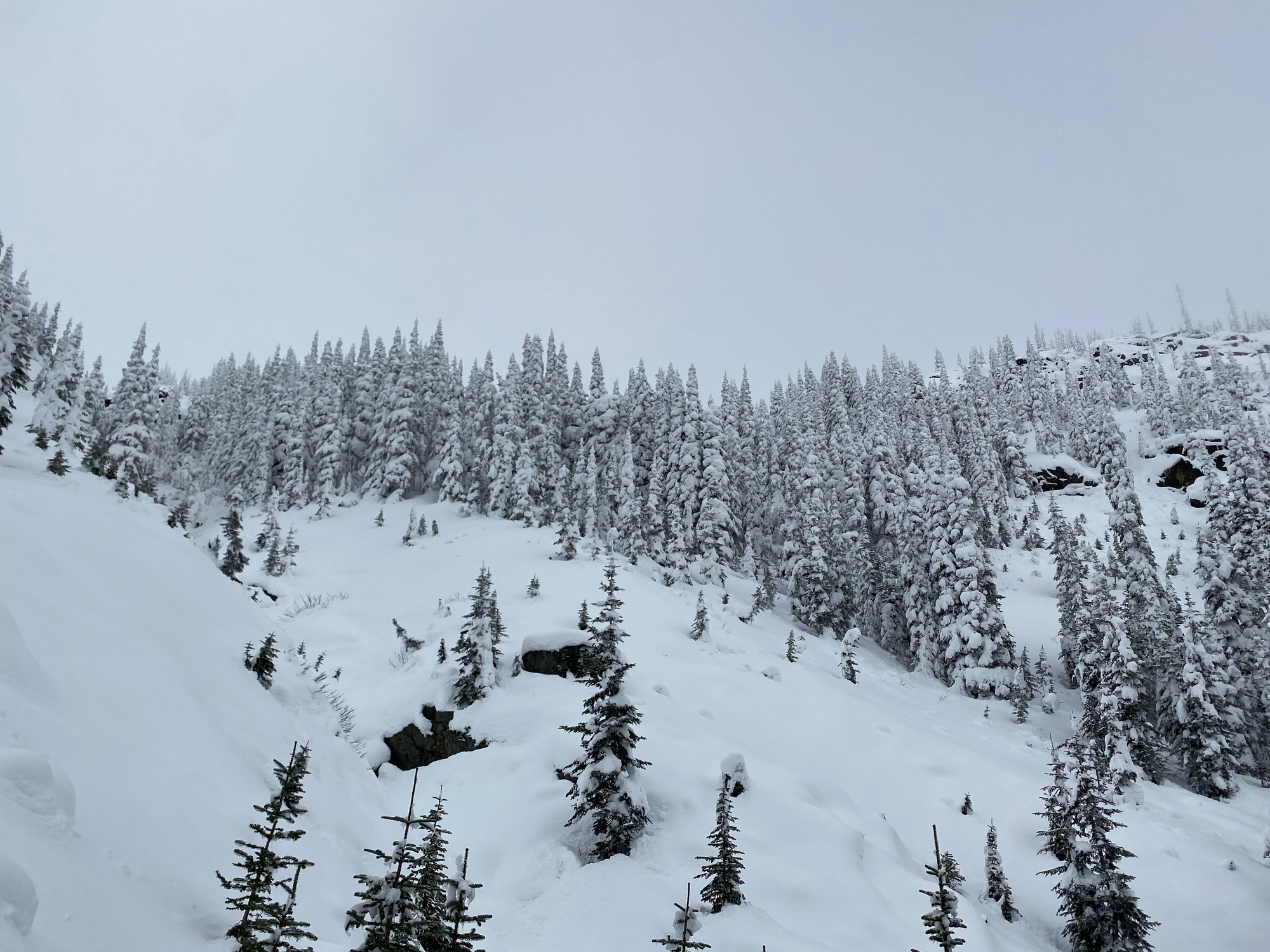
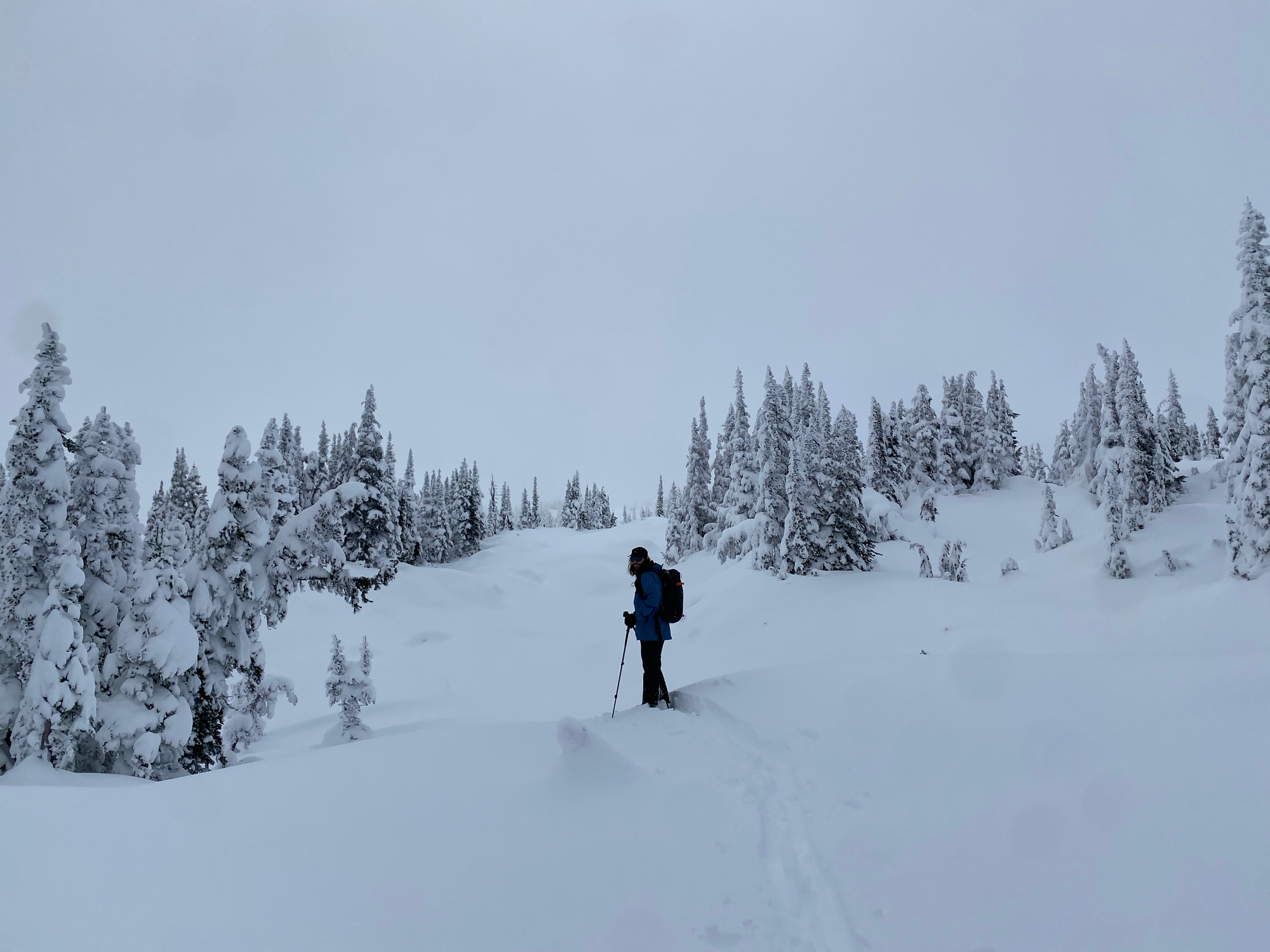
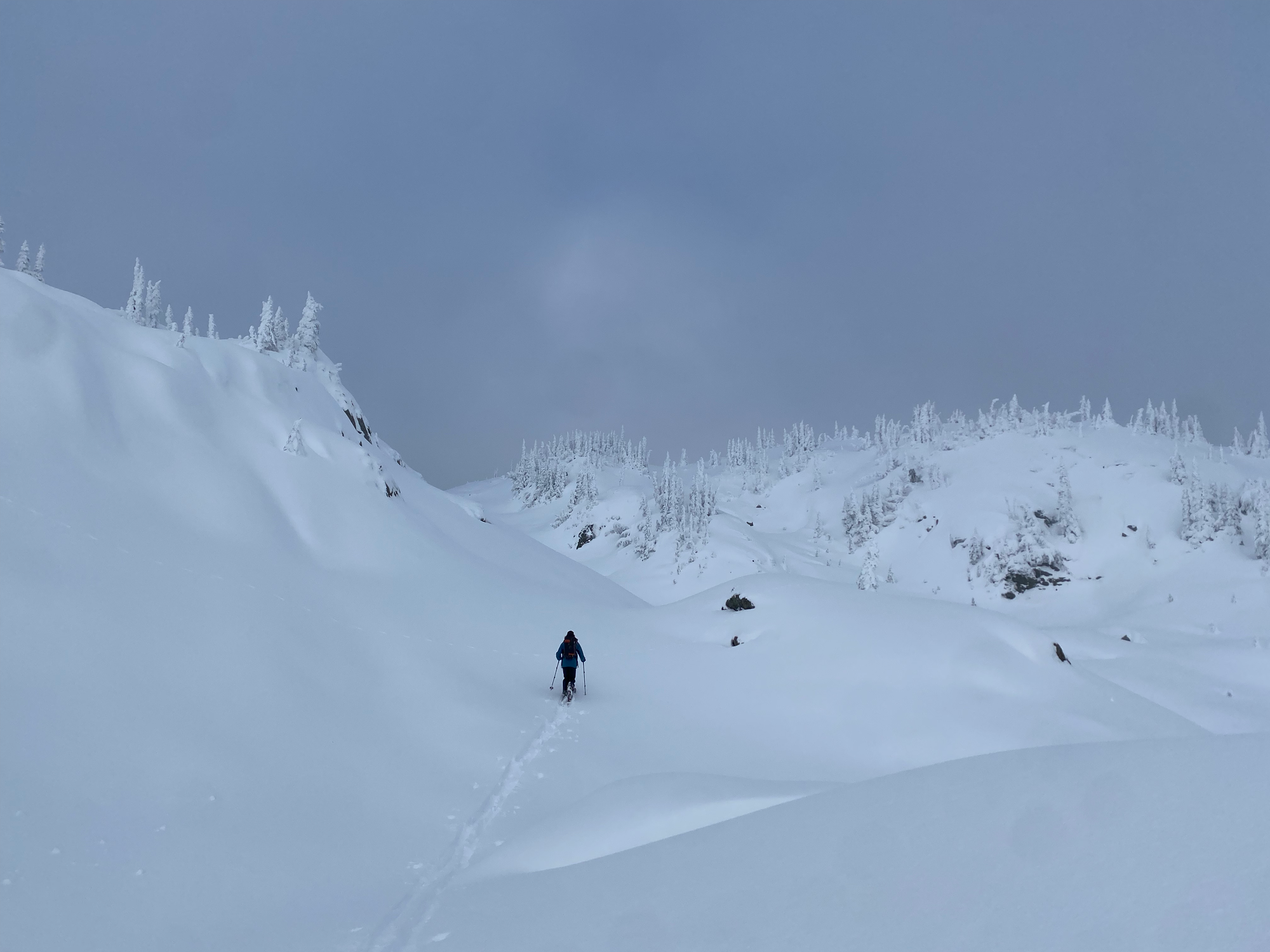
The summit was a wide plateau. It was mostly cloudy, but every few minutes we’d get a good view of Ipsoot across the valley to the north.
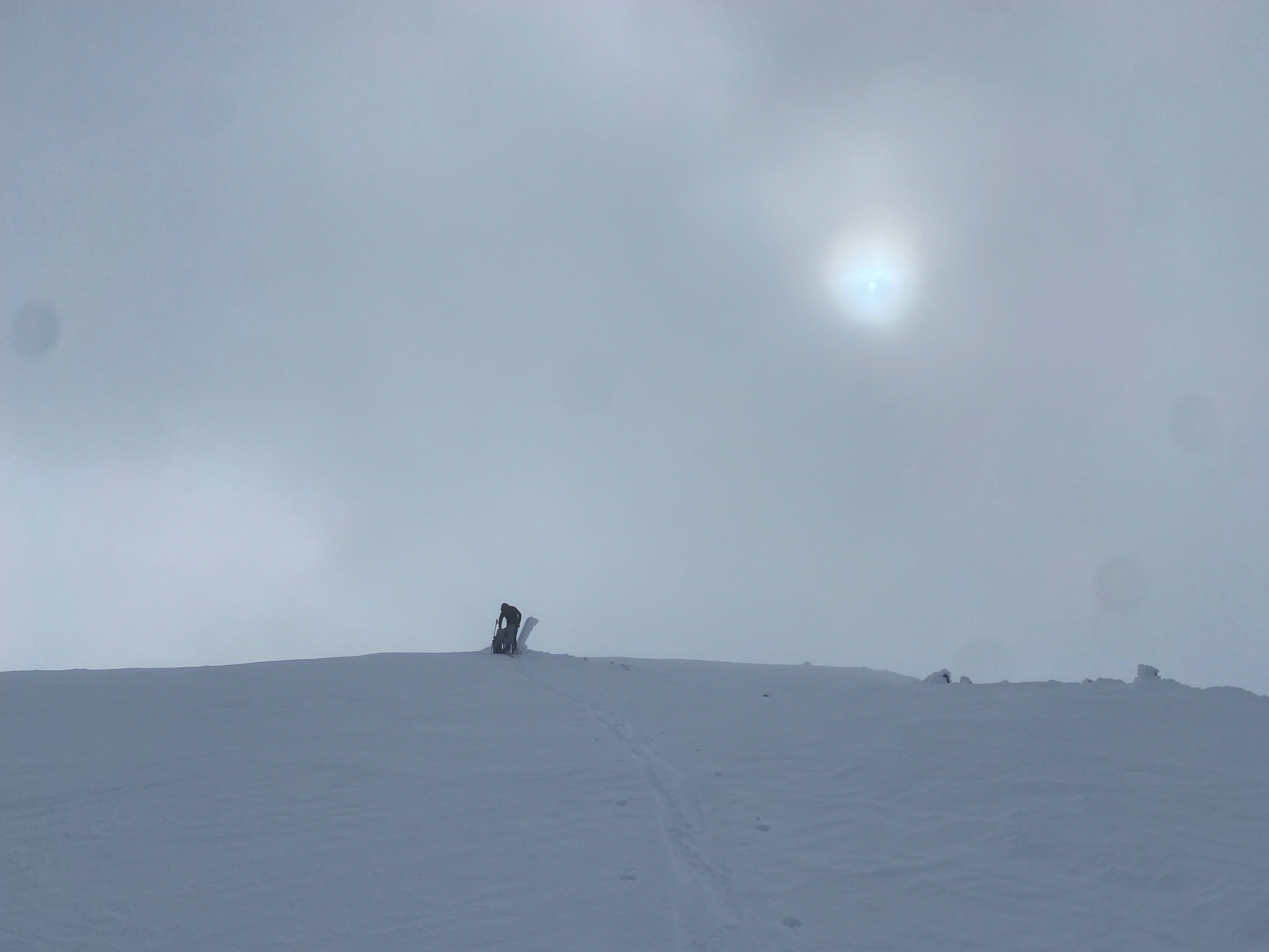
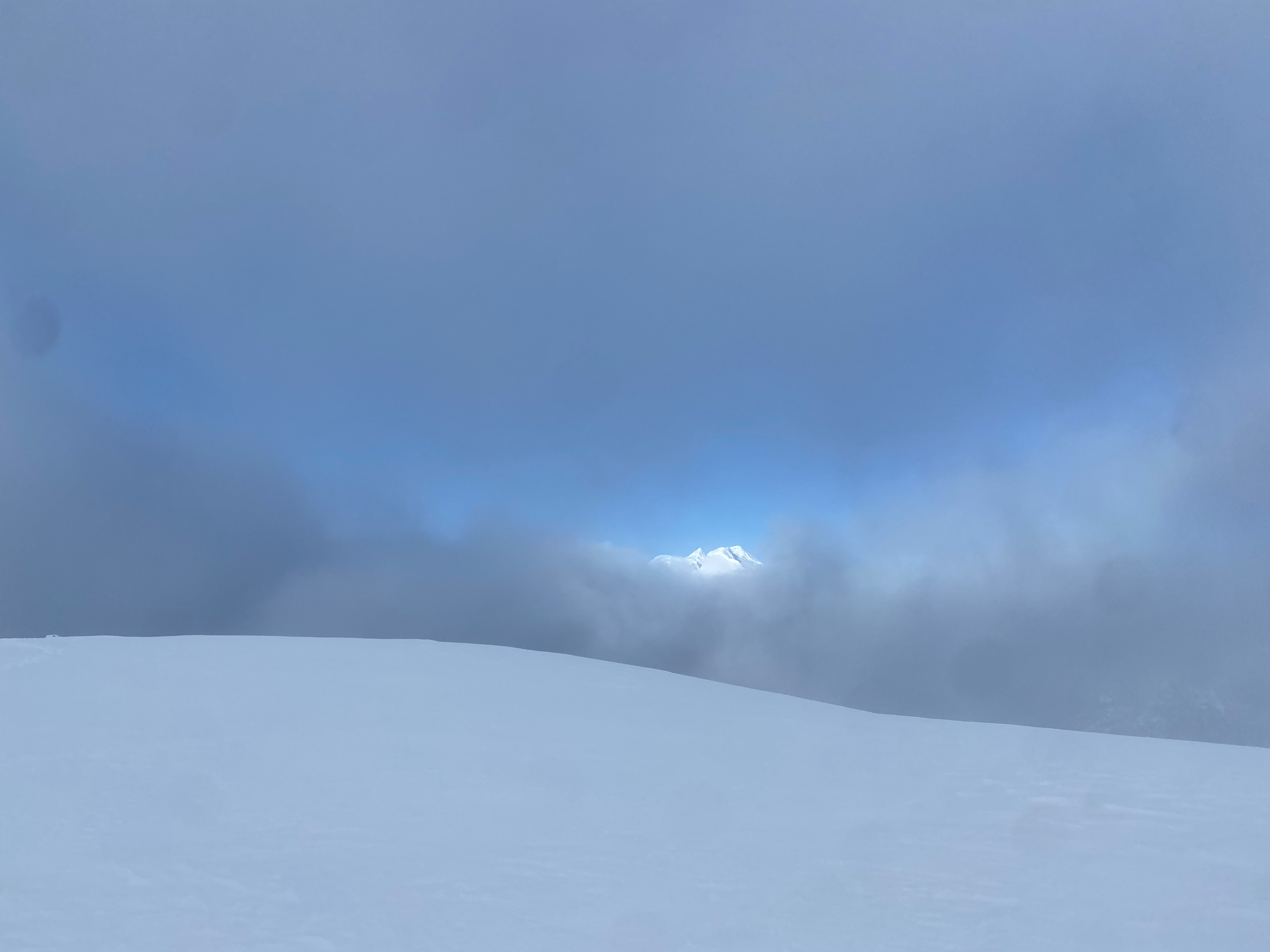
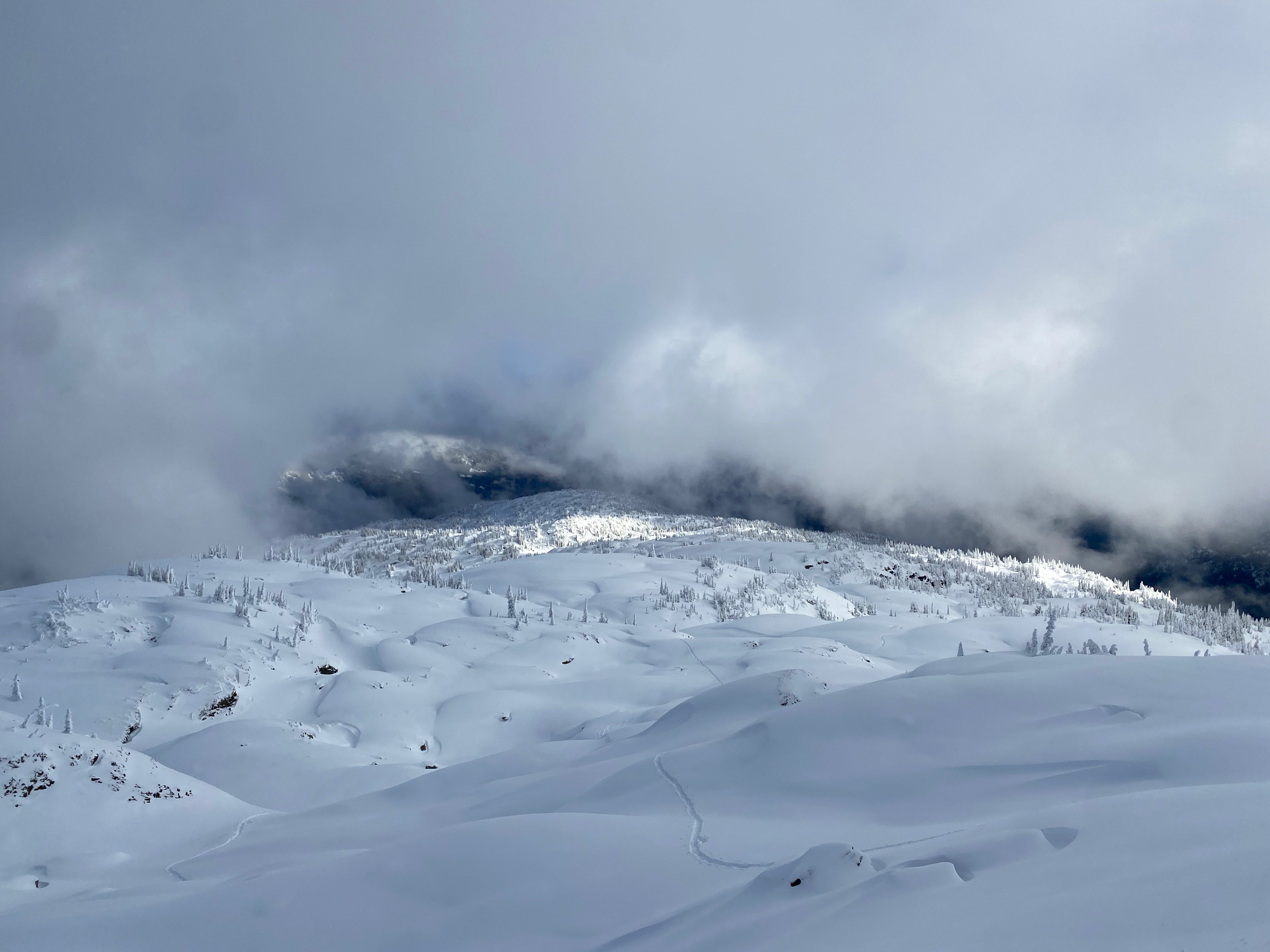
We walked around the plateau then headed back the way we came. The clouds started clearing on the way down, and we were treated to intermittent but scenic views of the ridge, Wedge, Weart, Rainbow, etc. With a trail already broken, it didn’t take long for us to return to the car.
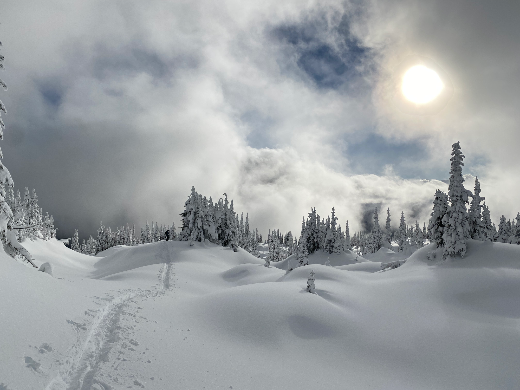
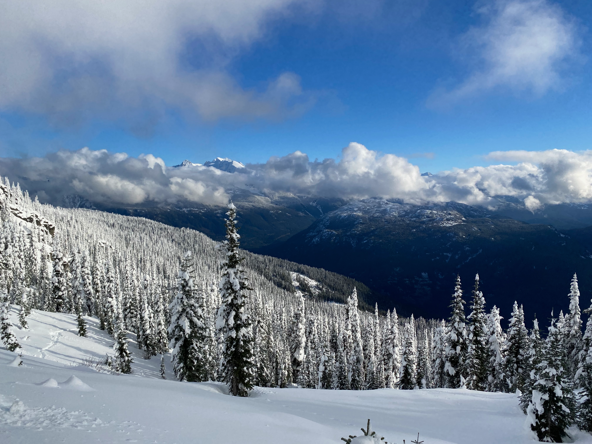
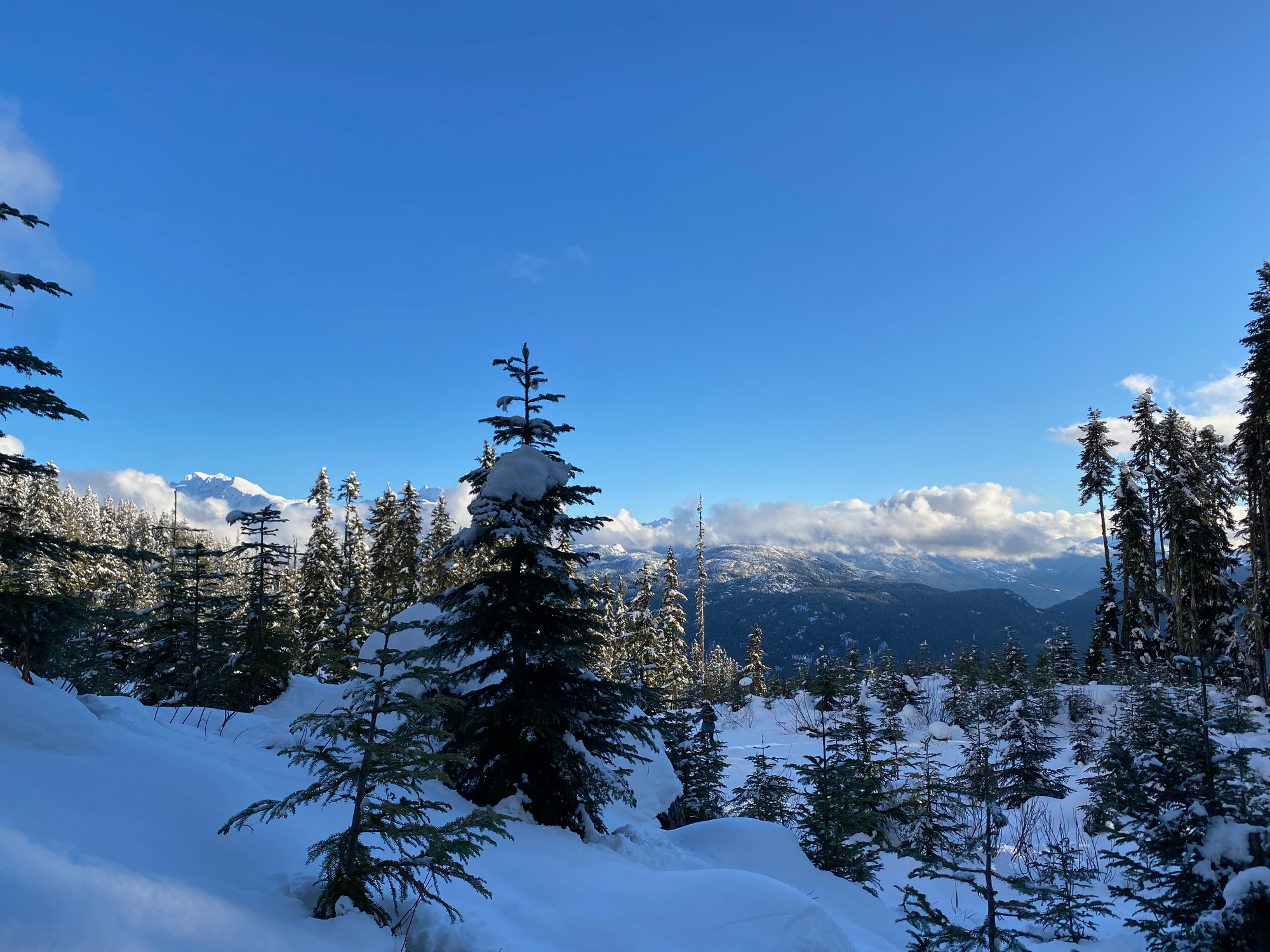
Of course, all the clouds cleared at that point, and it was a bluebird day by the time we reached the highway. After a long stop at Whistler’s slowest gas station, we made it back to the Lower Mainland.


Member discussion