Pinecone Lake Peaks (Gillespie, Seed, Pinecone)
Date: September 5-6, 2024
Distance: 20km
Elevation gain: 1909m
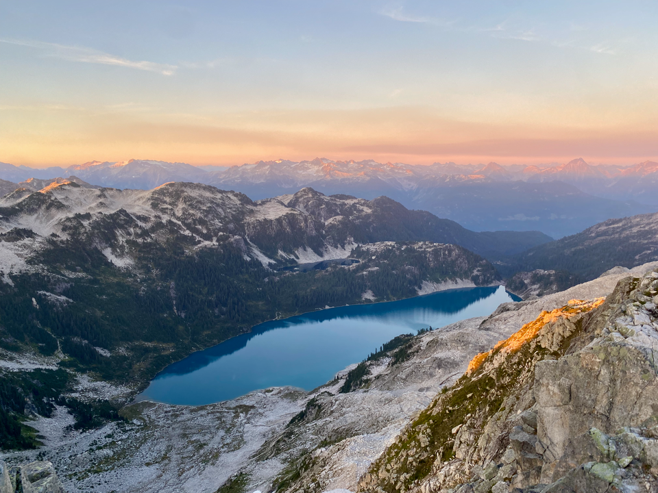
Mount Gillespie, Seed Peak, and Pinecone Peak surround the picturesque Pinecone Lake in the remote northern part of Pinecone Burke Provincial Park. This area is the most accessible part of the Pitt River’s watershed, which is encircled by provincial parks on three sides and Pitt Lake on the fourth, protecting it from pesky hikers. In recent years, active logging has taken place up to the park boundary, allowing hikers to drive to 1400m elevation and reach the Pinecone Lake peaks from there. On top of this, Seed Peak is a relatively straightforward hike, and Gillespie is a relatively easy class ⅔ scramble, so this area has seen a lot of attention in the past couple years. Get there while the road’s drivable!
To access the trailhead, one has to drive to Squamish then head east on the Mamquam FSR just past the Stawamus Chief. From there, a side road branches off the Mamquam FSR near its end. I was able to drive to the trailhead in a 4x4 medium clearance vehicle. The last couple hundred metres are steep with lots of loose rocks. I’m not sure if the area is still being logged - I didn't see any trucks, and there's a sign warning about active logging but it's been tossed into the bushes and I only spotted it on the way out.
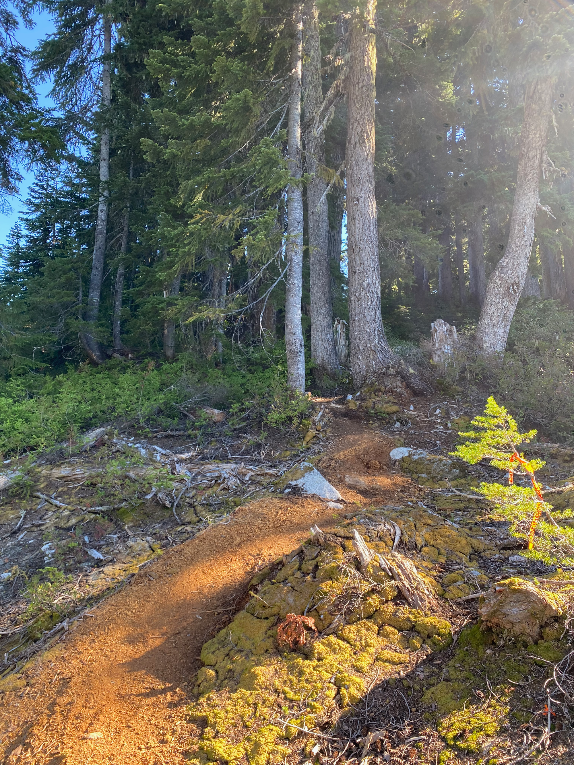
I walked through the cutblock for a couple hundred metres before reaching a well-defined and flagged trail that led into the trees. From there it ascended “November Peak”, a small ridgeline bump that nevertheless offers a good perspective on the much taller Seed, Pinecone, and Gillespie. As I was descending November Peak, I startled a large bear, who sprinted into the bushes as soon as it heard me. I haven’t seen bears move that quickly that often!
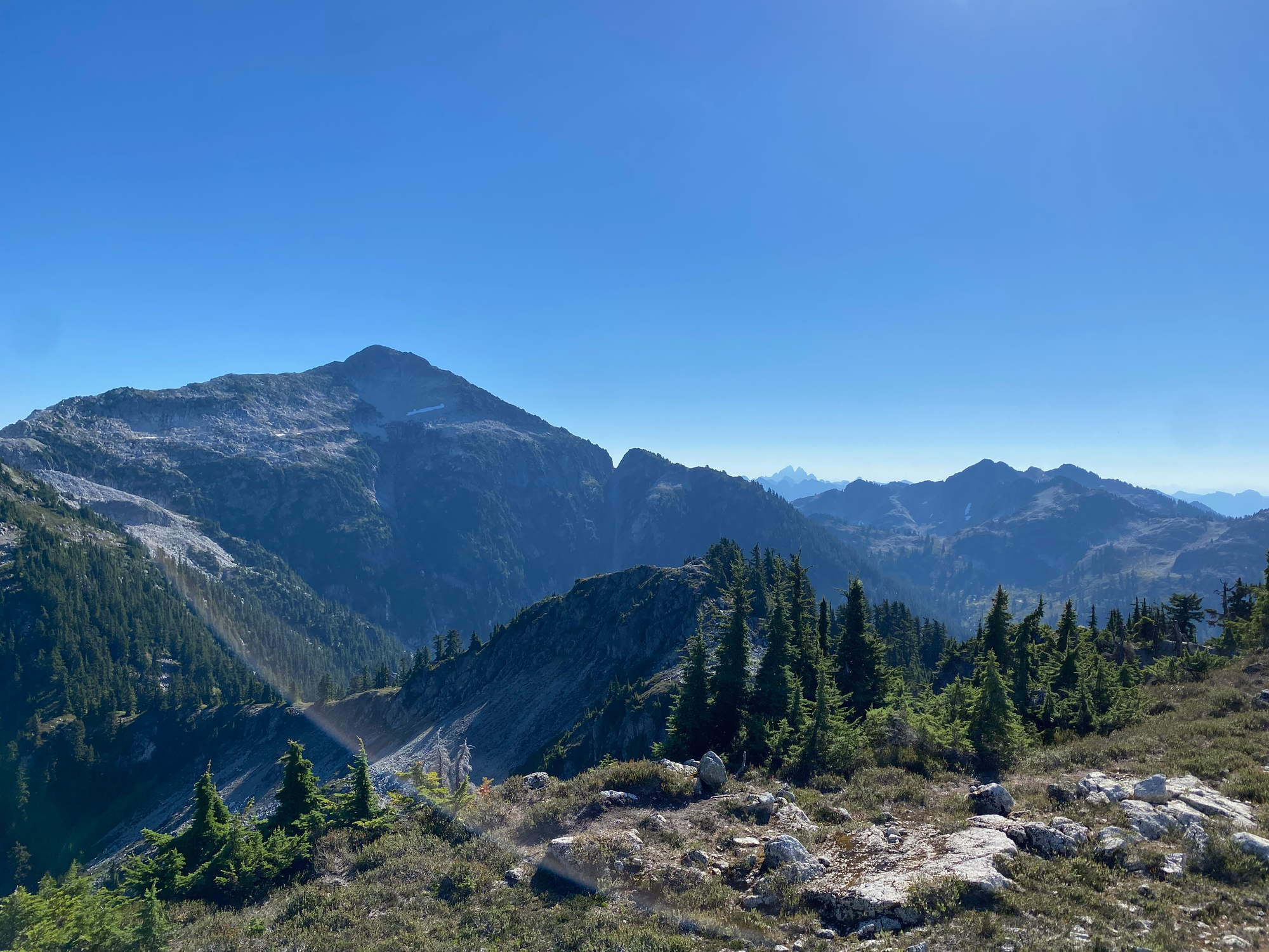
The trail dropped then climbed, reaching a small tarn soon after entering the alpine.
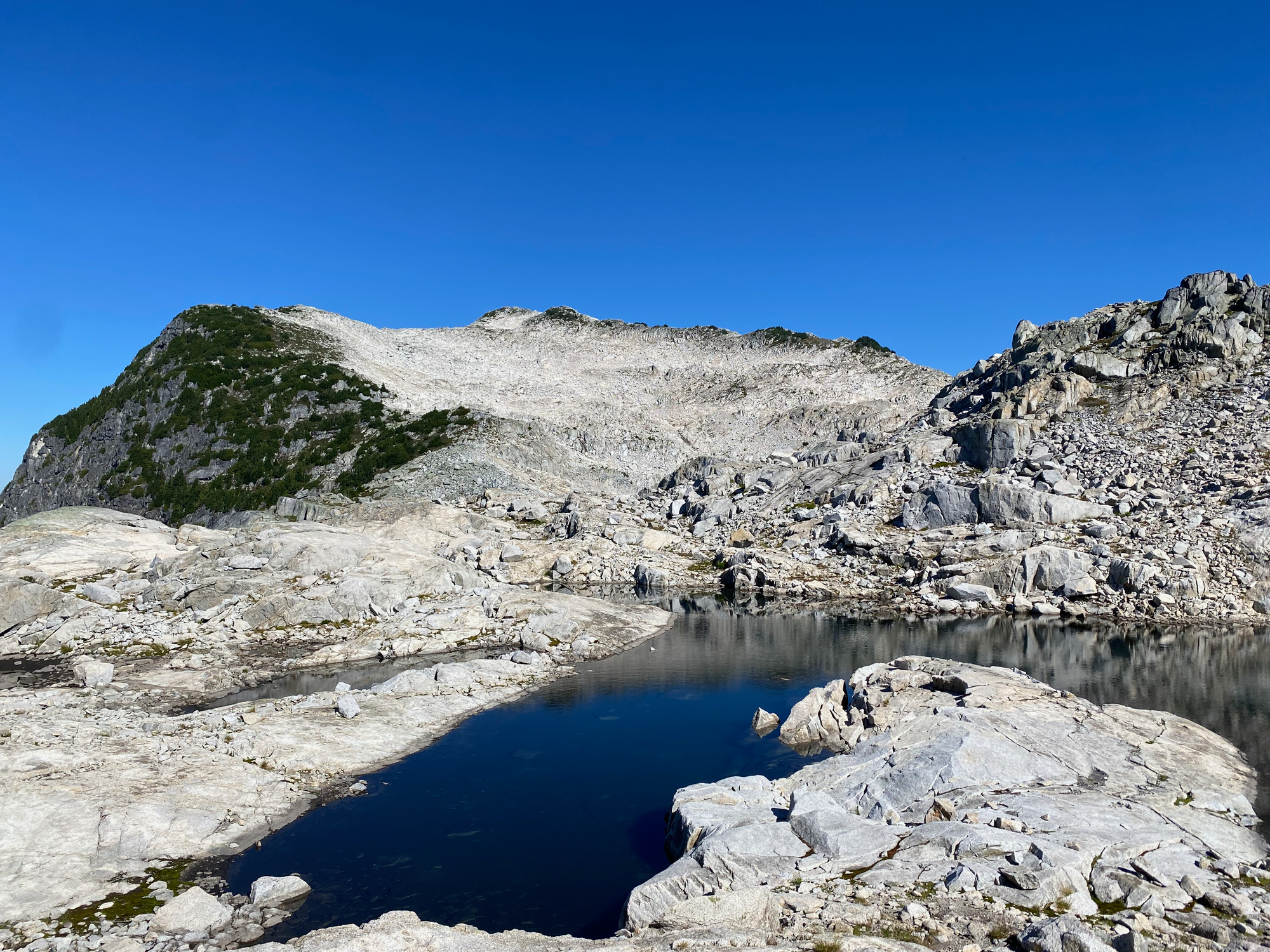
Once at the tarn I went to Mount Gillespie first. I scrambled down to the outflow of the glacier (less steep than it seemed from the tarn, which was a recurring theme for this peak), walked around the lake (including a short section on rocky ice) then scrambled to the Seed/Gillespie col.
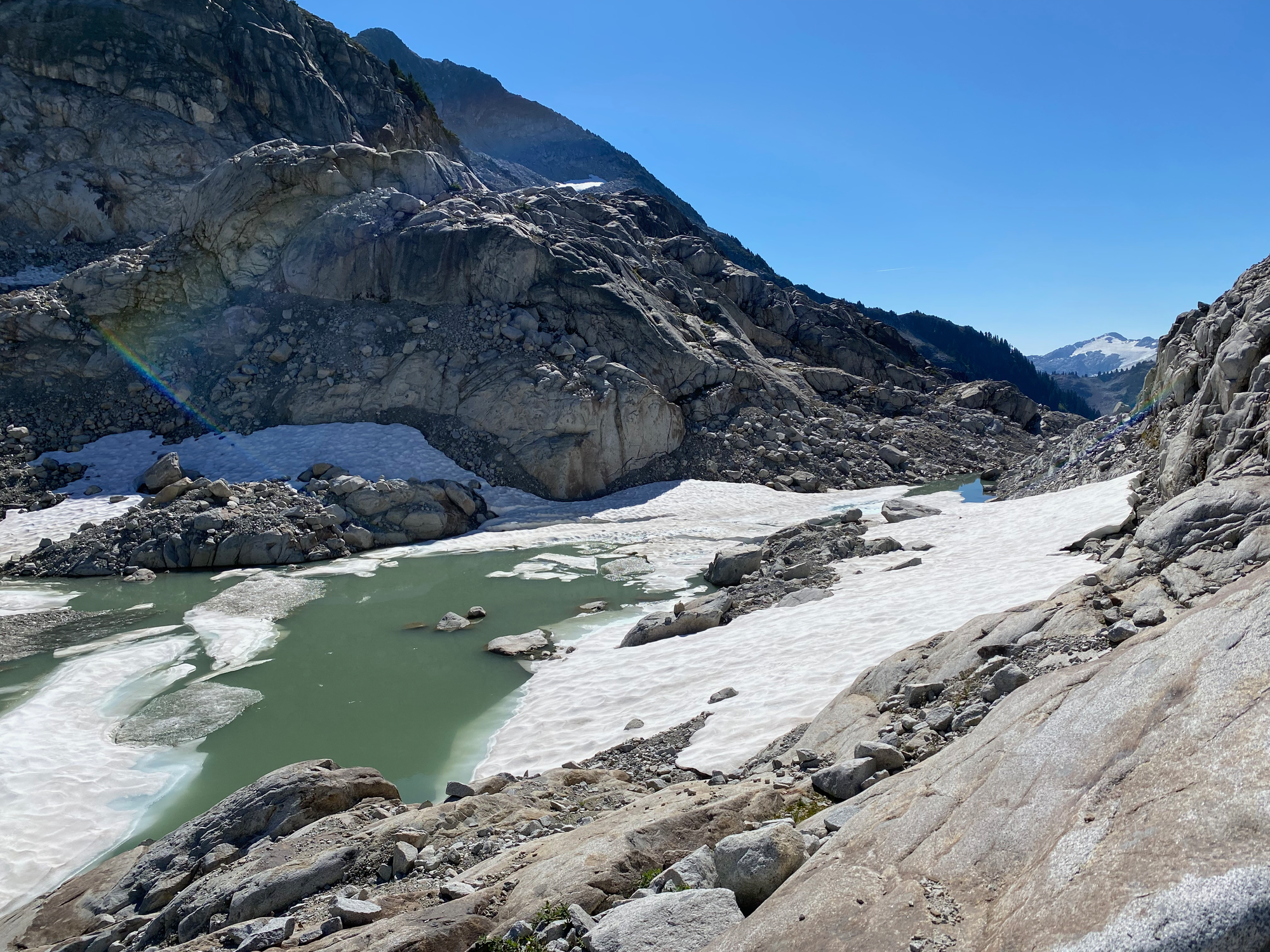
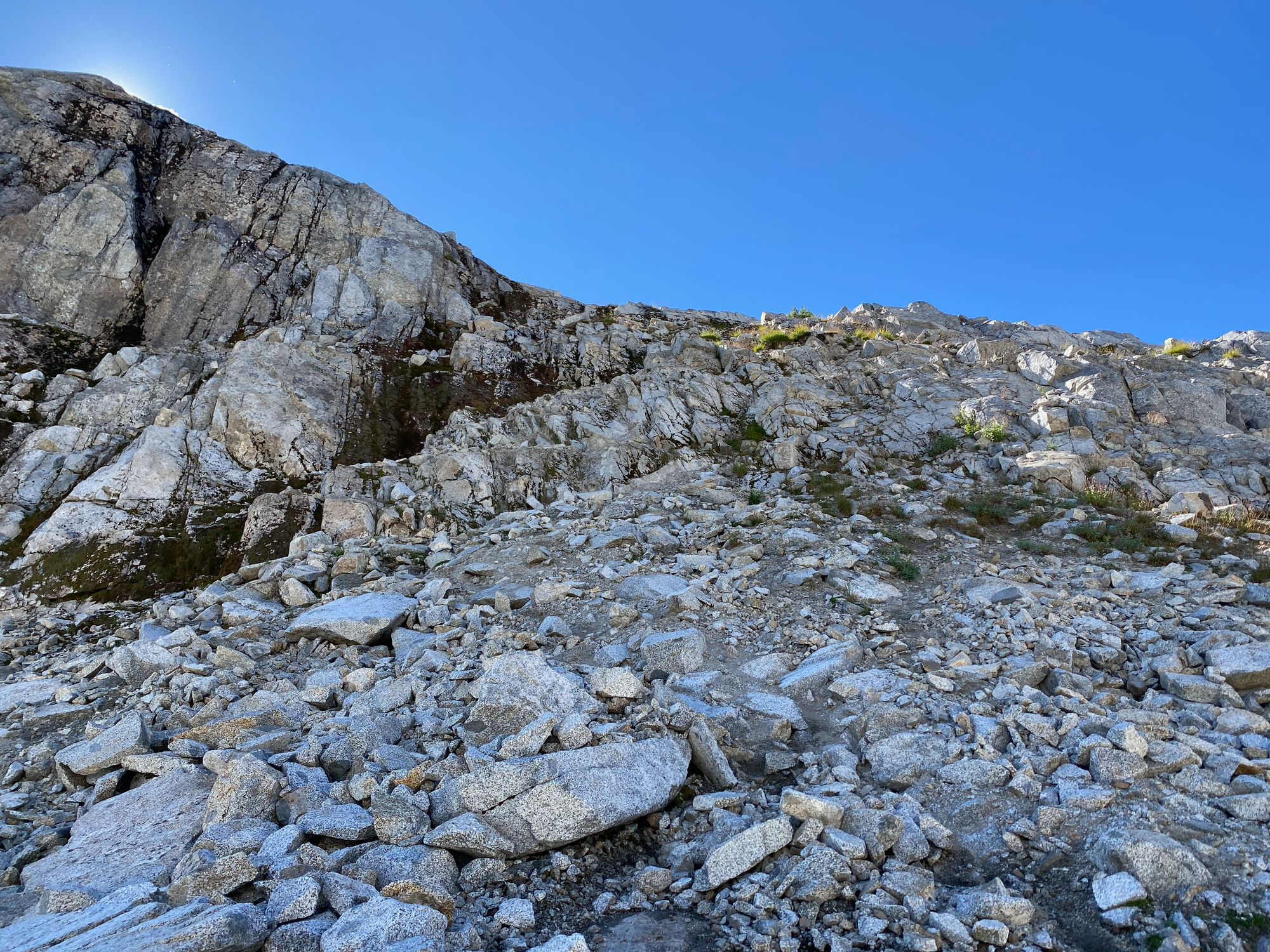
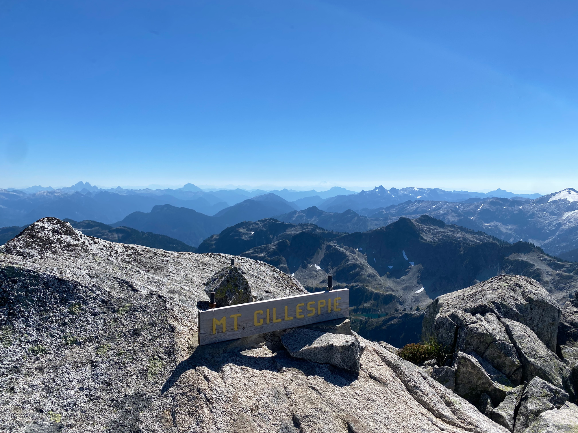
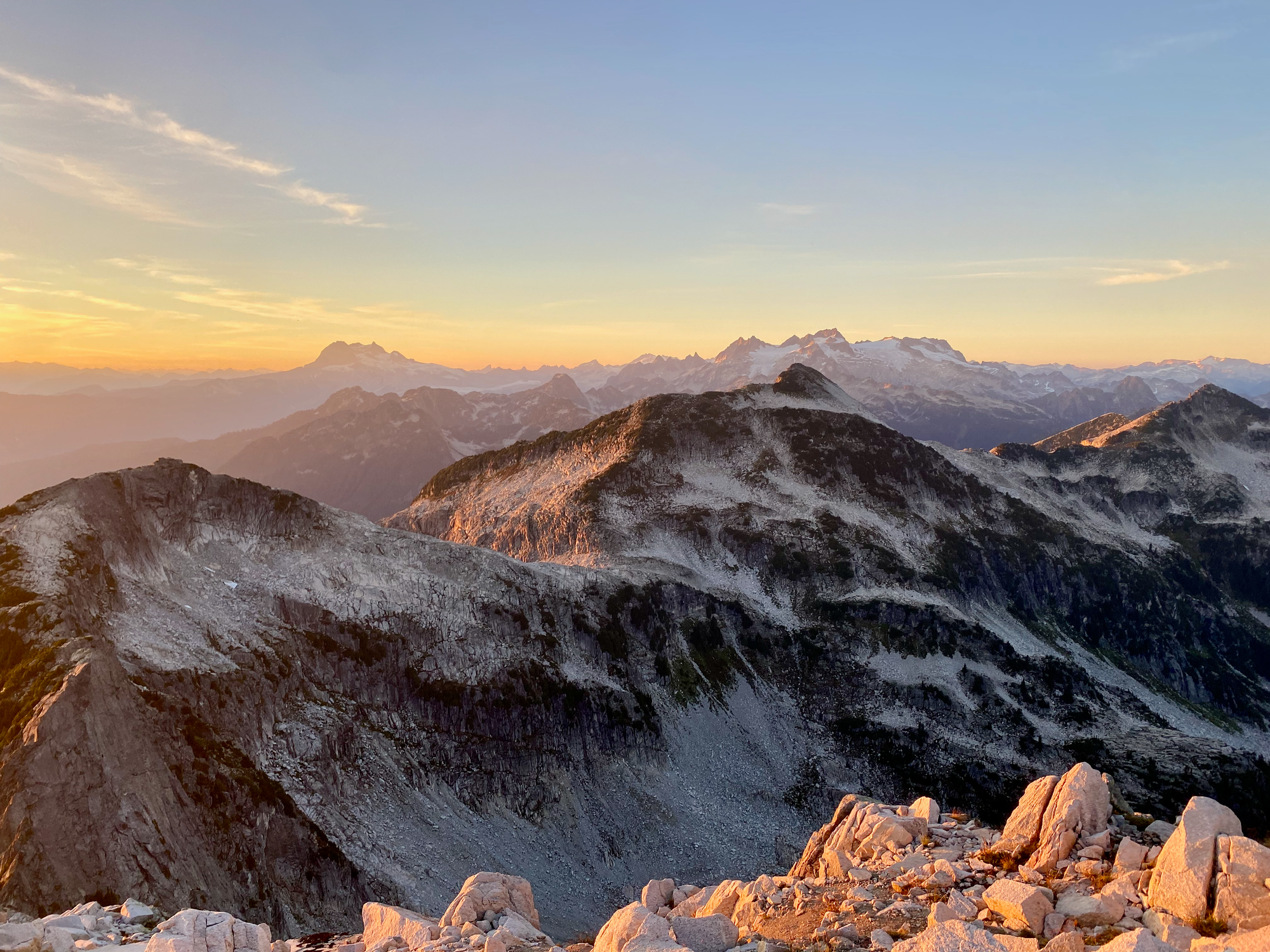
From there it was mostly Class 2 with class 3 sections at the col and summit. The summit register container was smashed and the register was nowhere to be found. Views were great.
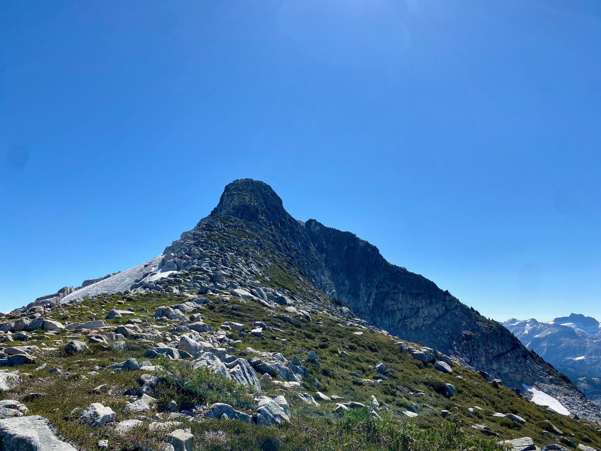
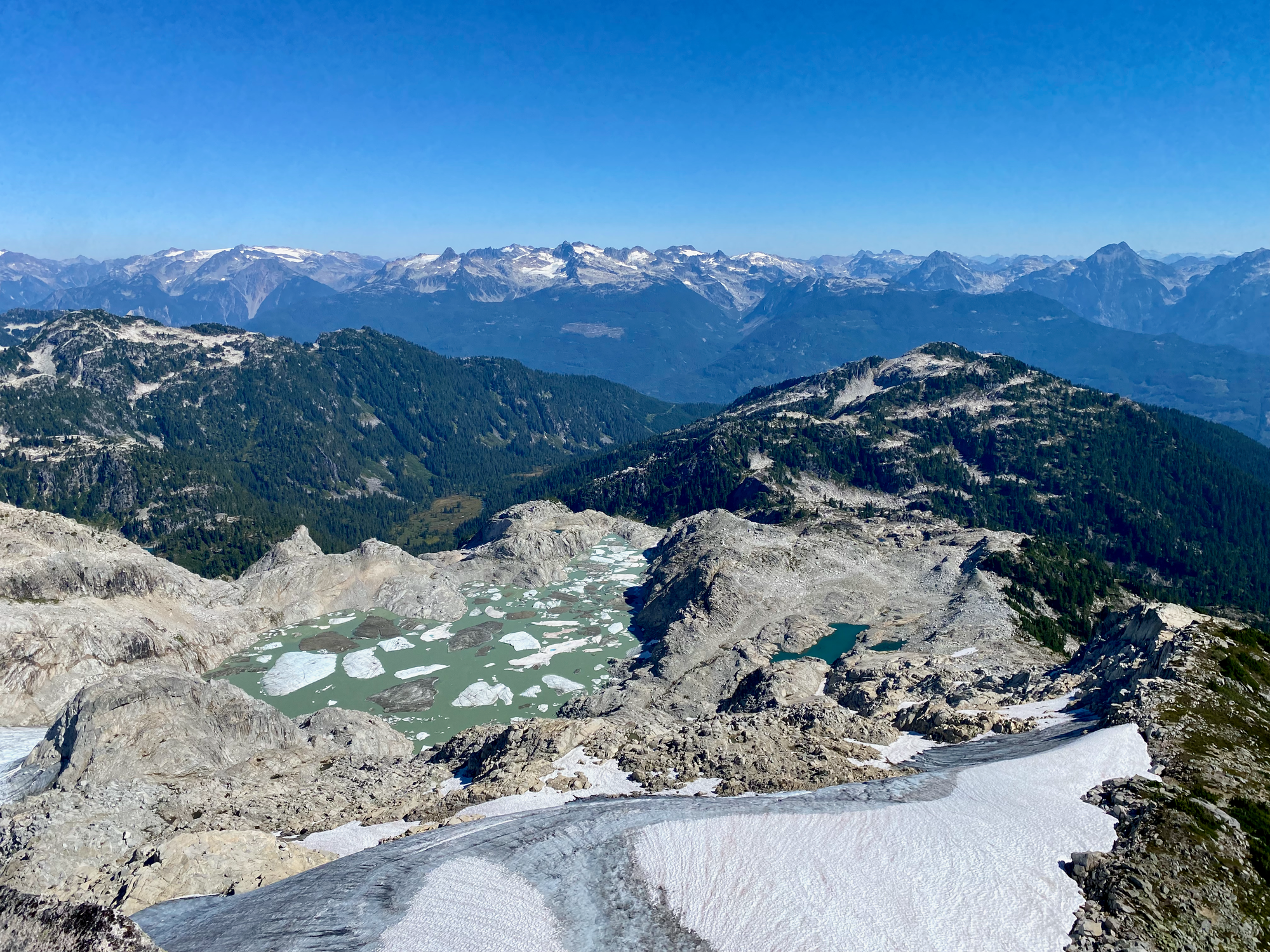
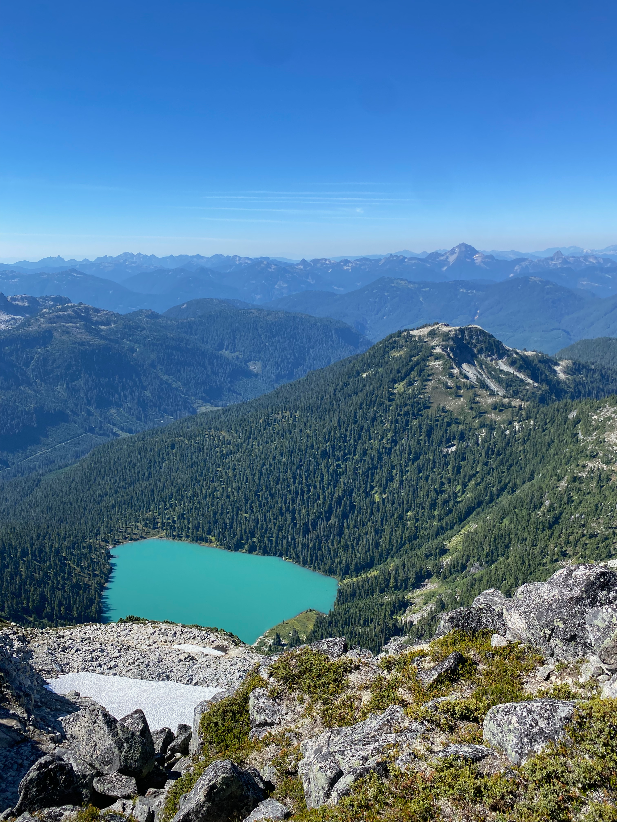
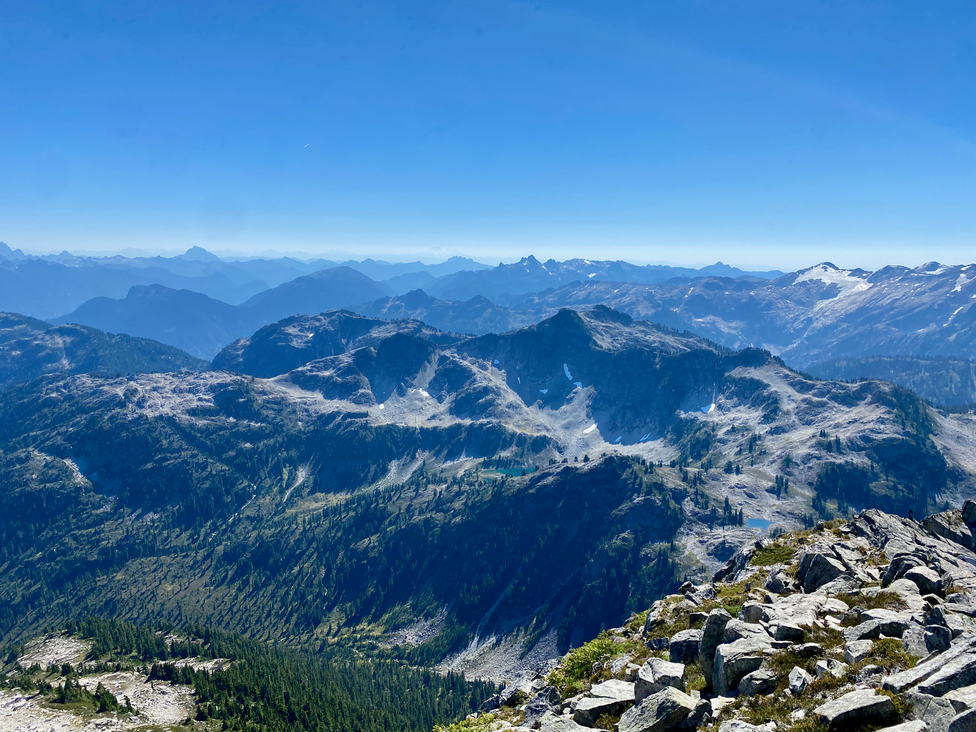
I retraced my steps to the col and scrambled over a series of small bumps (another recurring theme) towards Seed Peak. This was mostly class 2 with some class 3, especially near the col, but you could definitely take more difficult routes if you wanted to.
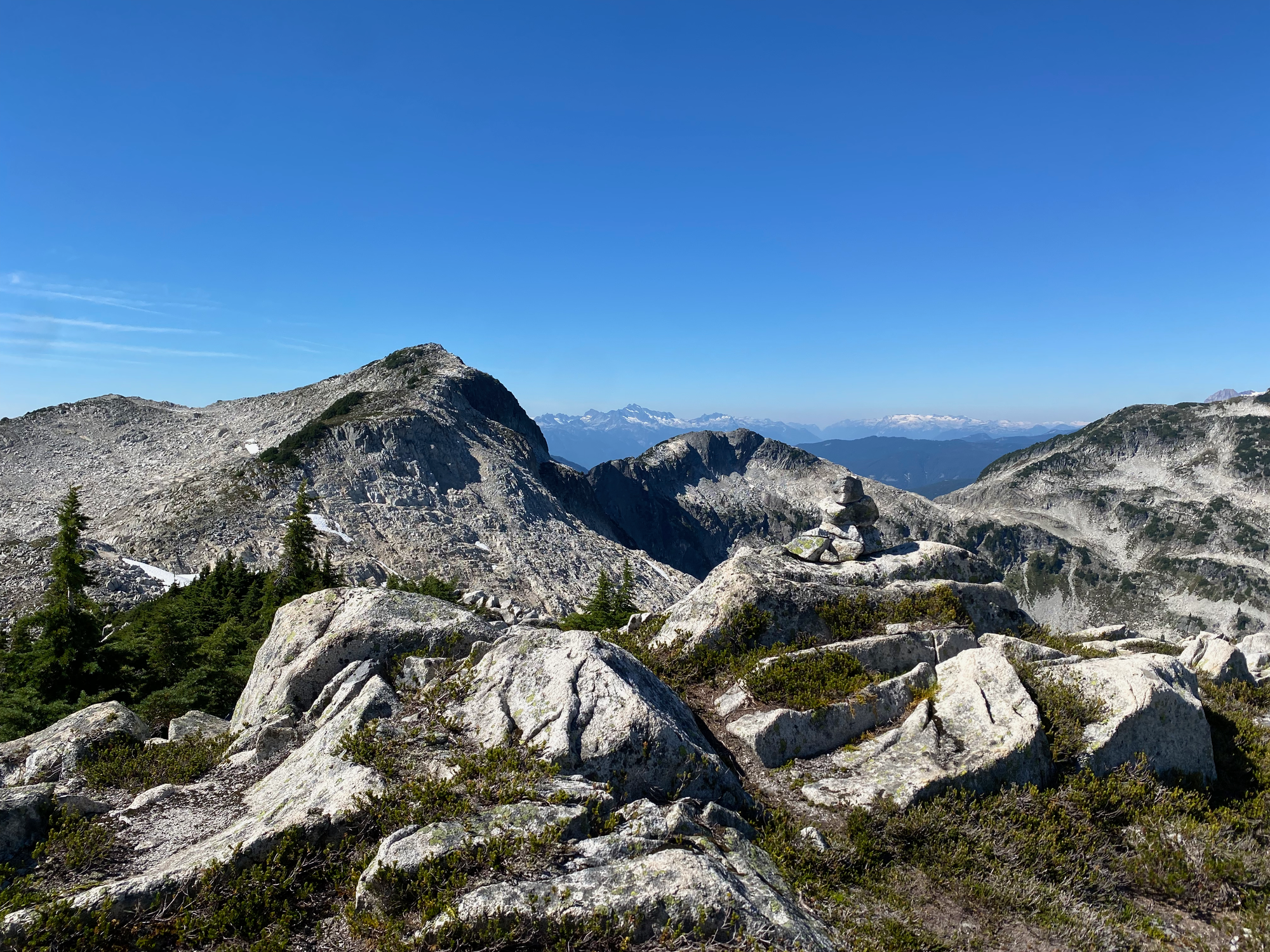
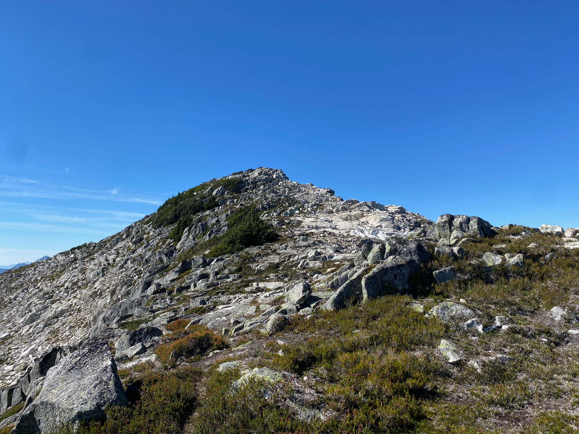
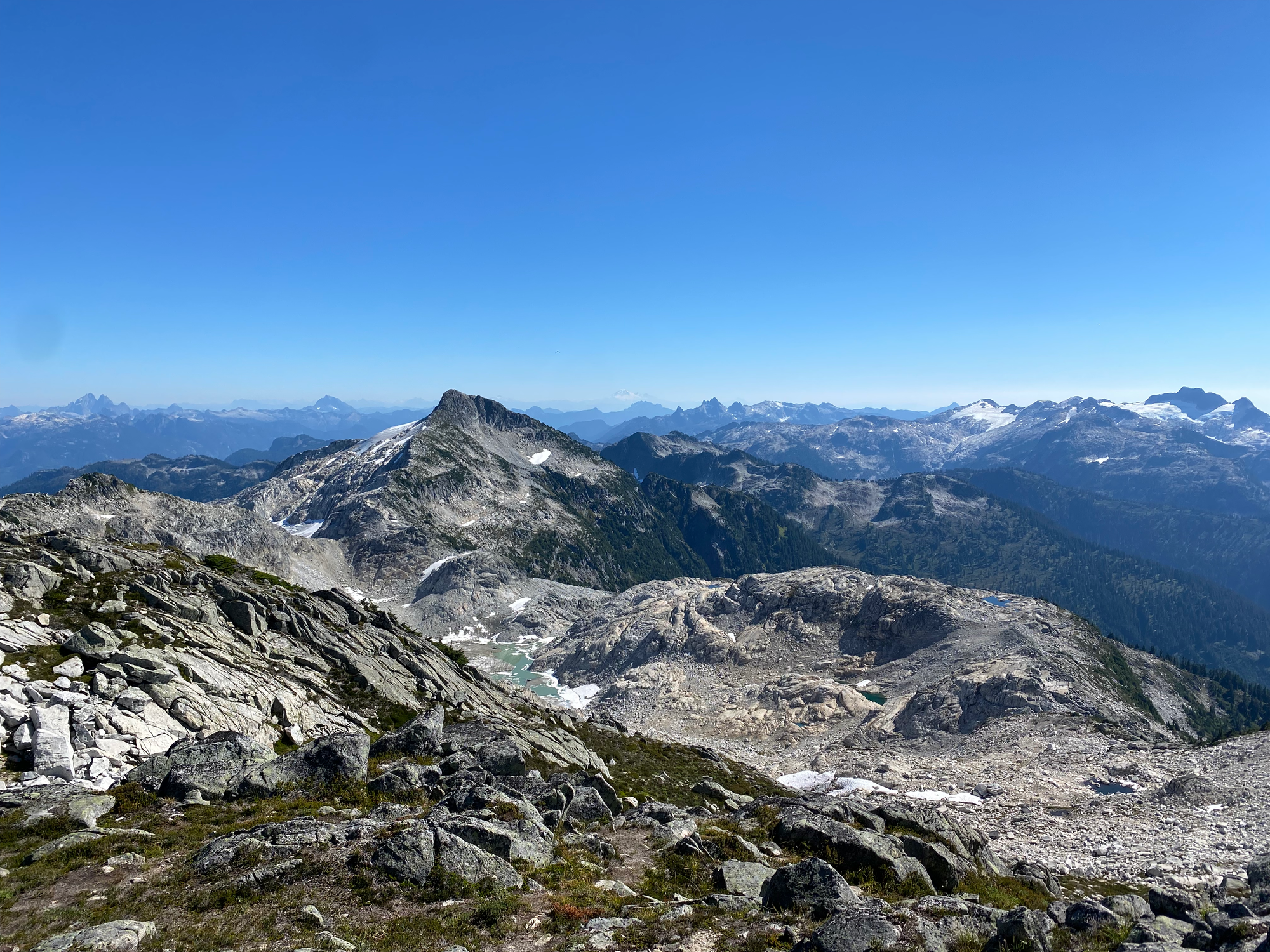
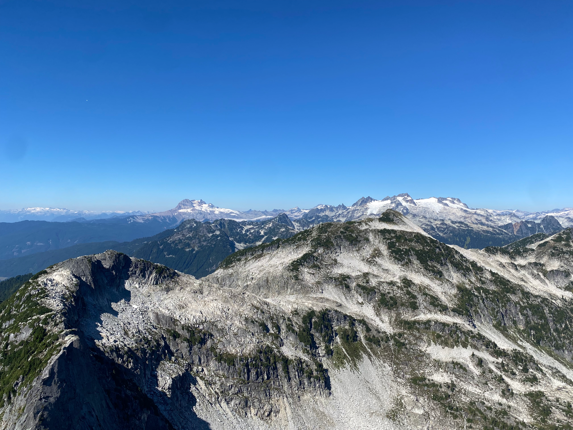
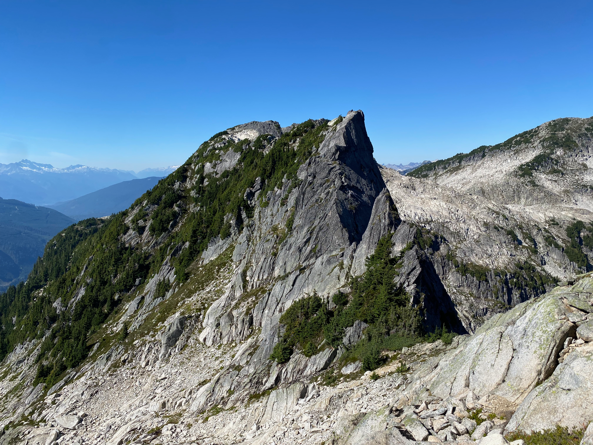
The route from Seed to Pinecone involved a tedious traverse over “Knothole Peak”. To avoid the knife-edge pinnacle on the SE face of Knothole, I had to drop off the west side of Seed’s ridge around 1870m and traverse to a steep heather-filled gully, which ended up on the “Knothole Peak” ridge after gaining lots of elevation. After that I followed the ridge towards the Knothole/Pinecone saddle.
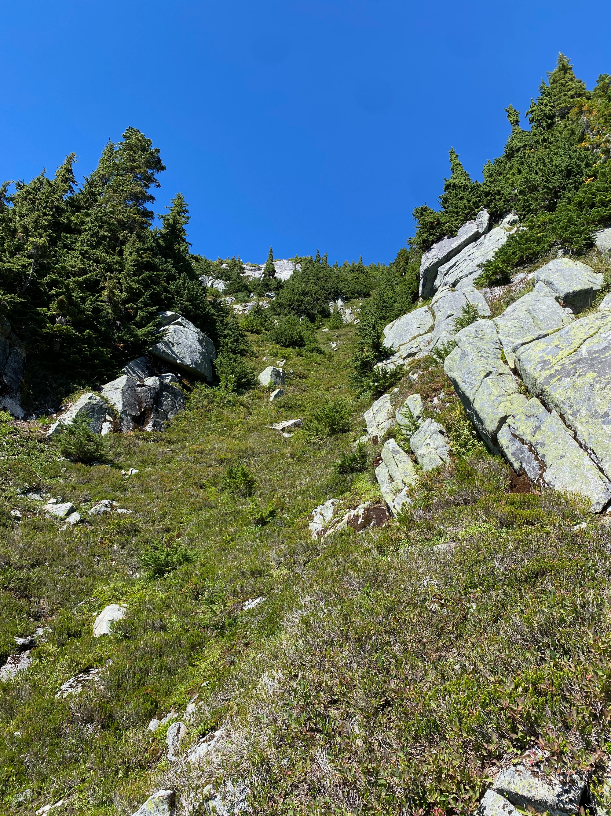
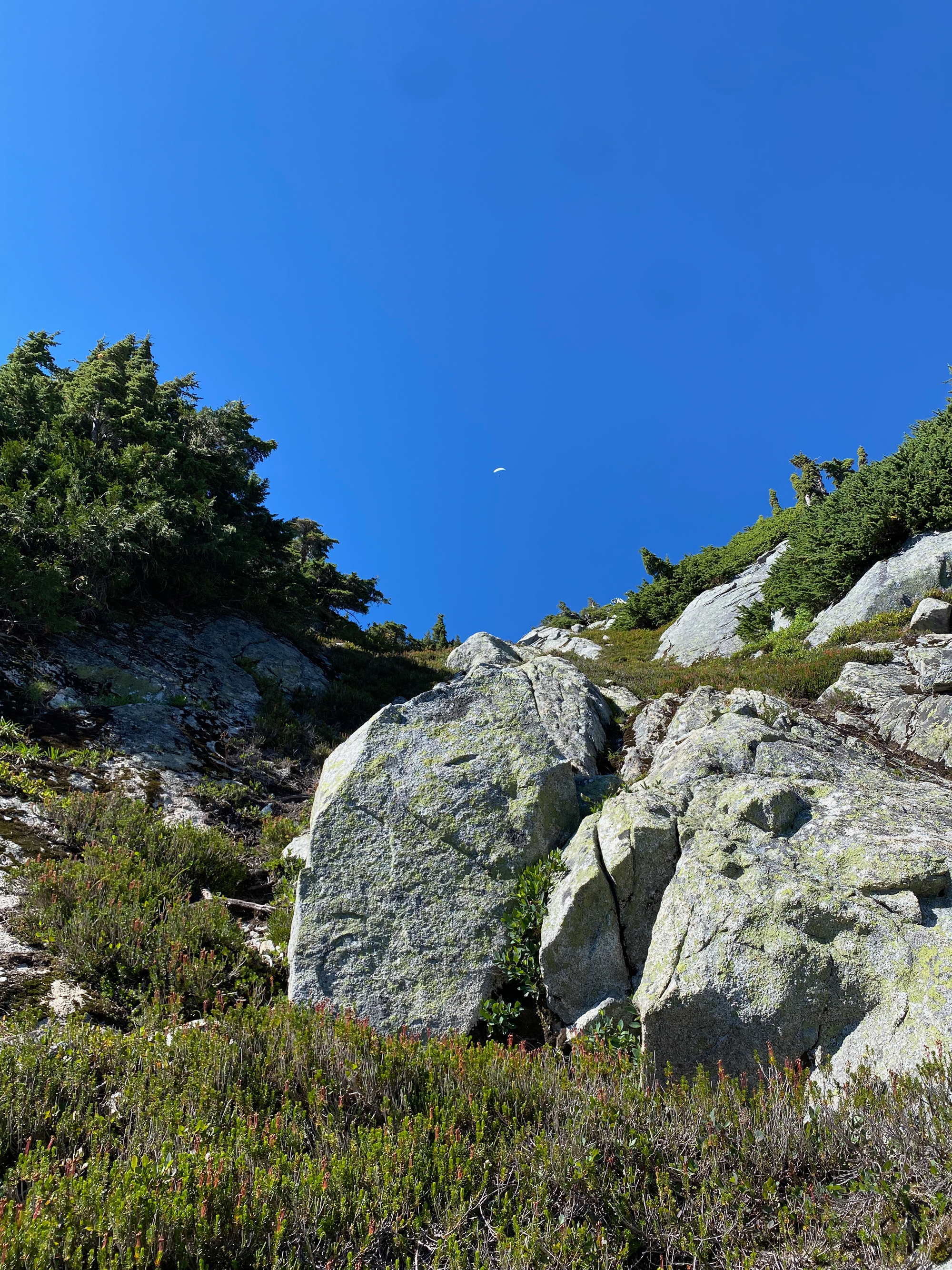
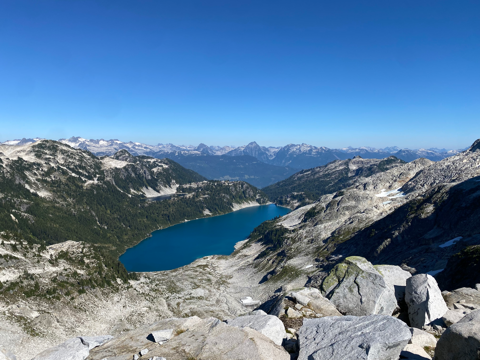
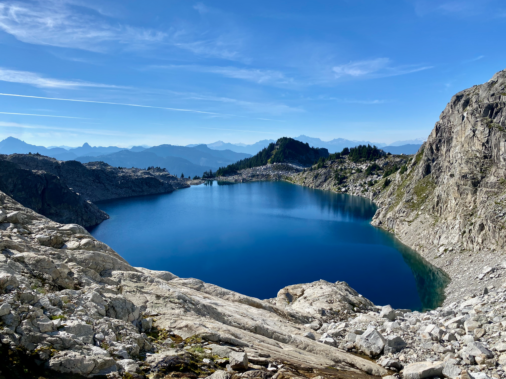
At the saddle, the heat was getting to me and Knothole Lake was calling so I took a short detour to explore the lake, get some water, and cool off. Very refreshing!
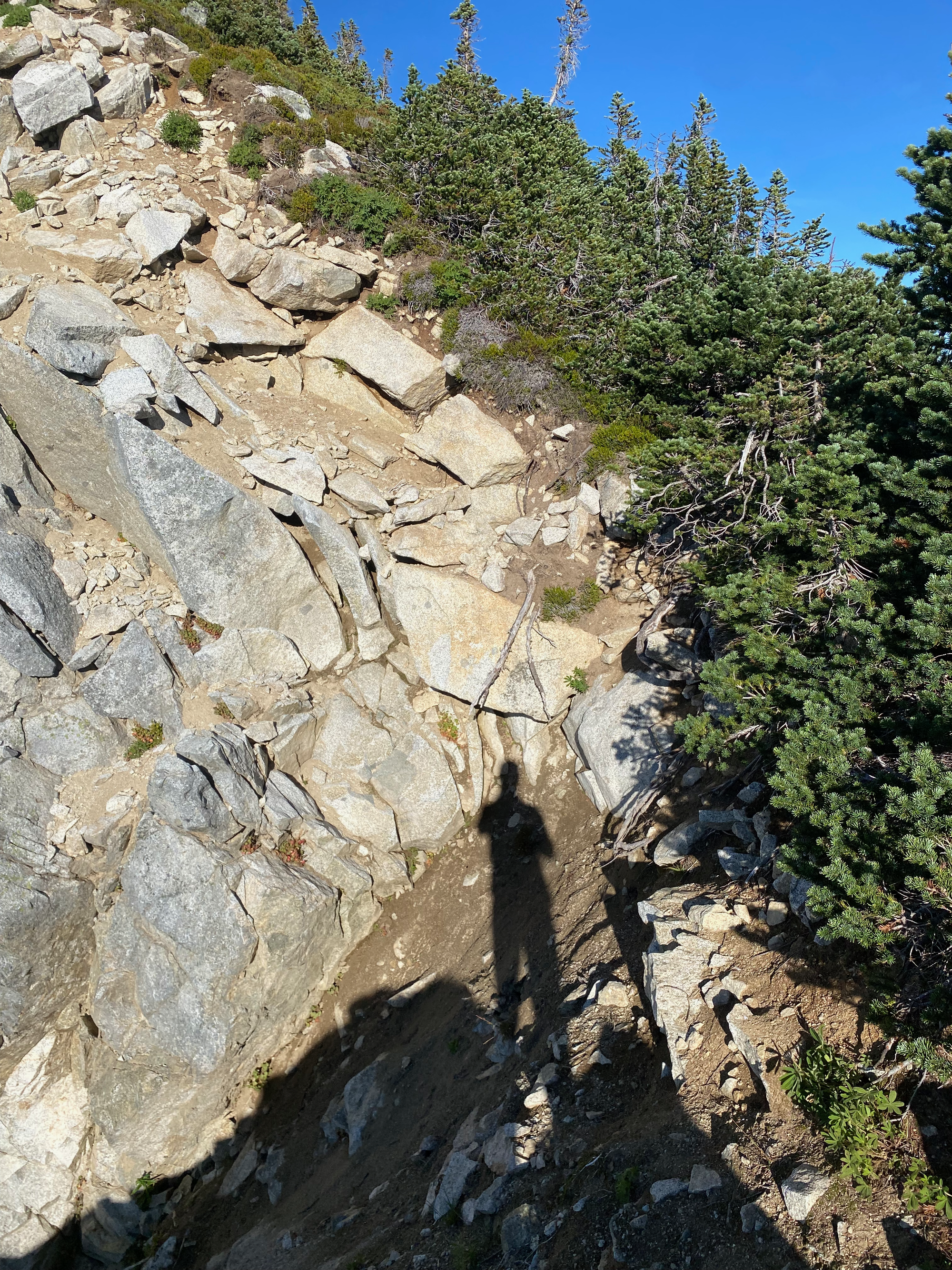
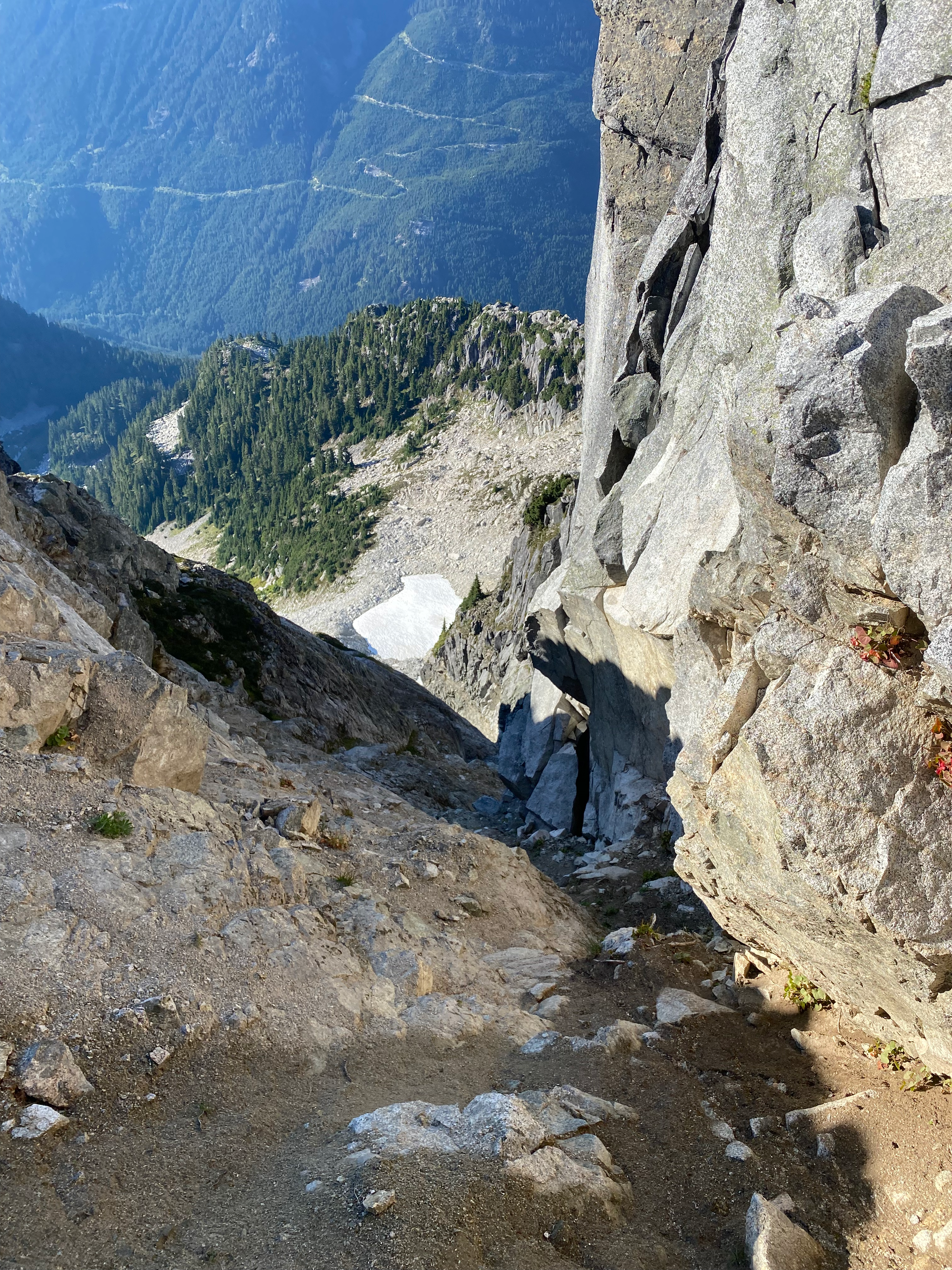
One last ascent to Pinecone Peak followed - mostly class 2/3. The crux was a section around 1990m where I had to traverse above an exposed gully. On the way back I thrashed through some trees to avoid this, which wasn't fun.
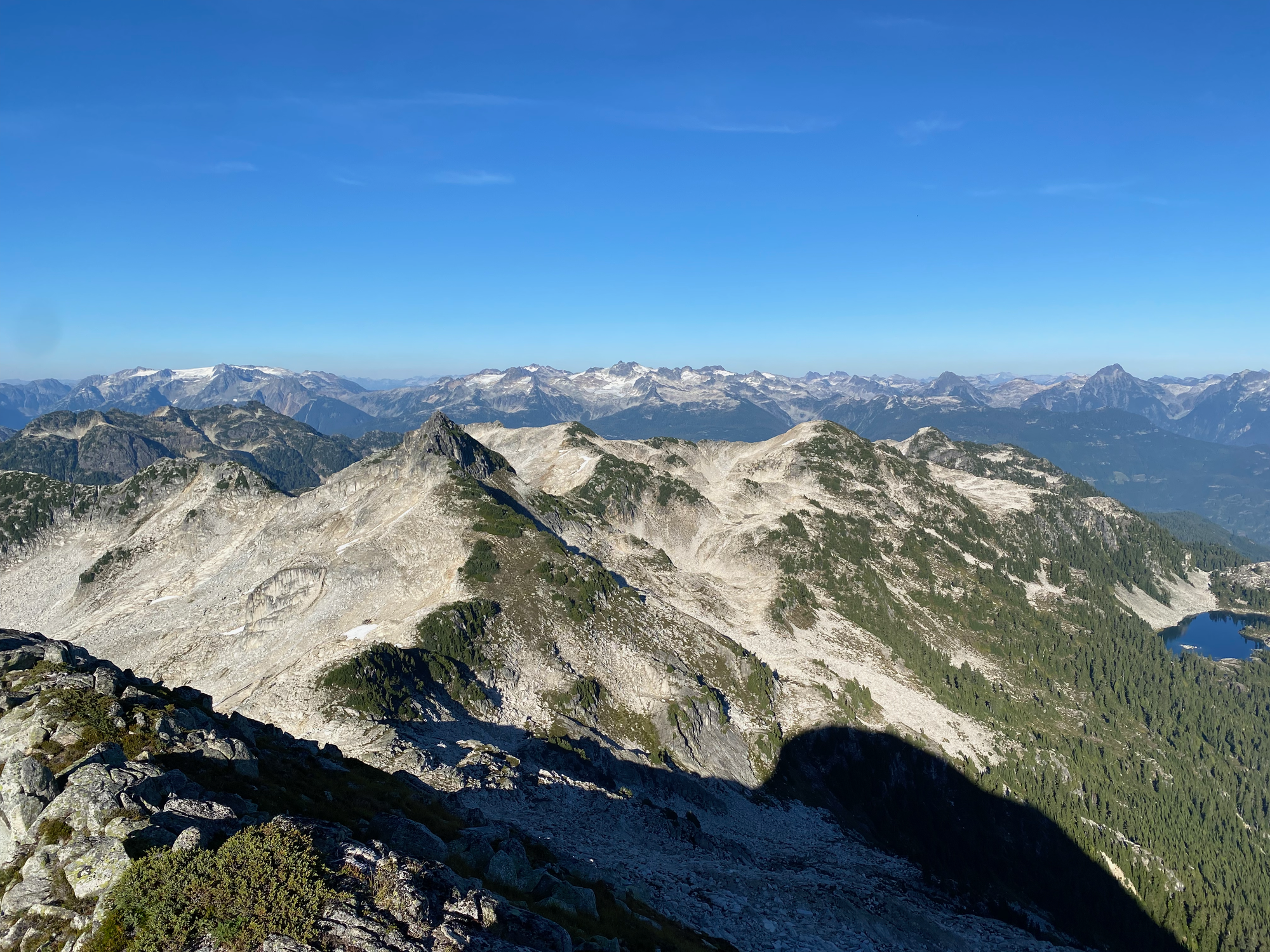
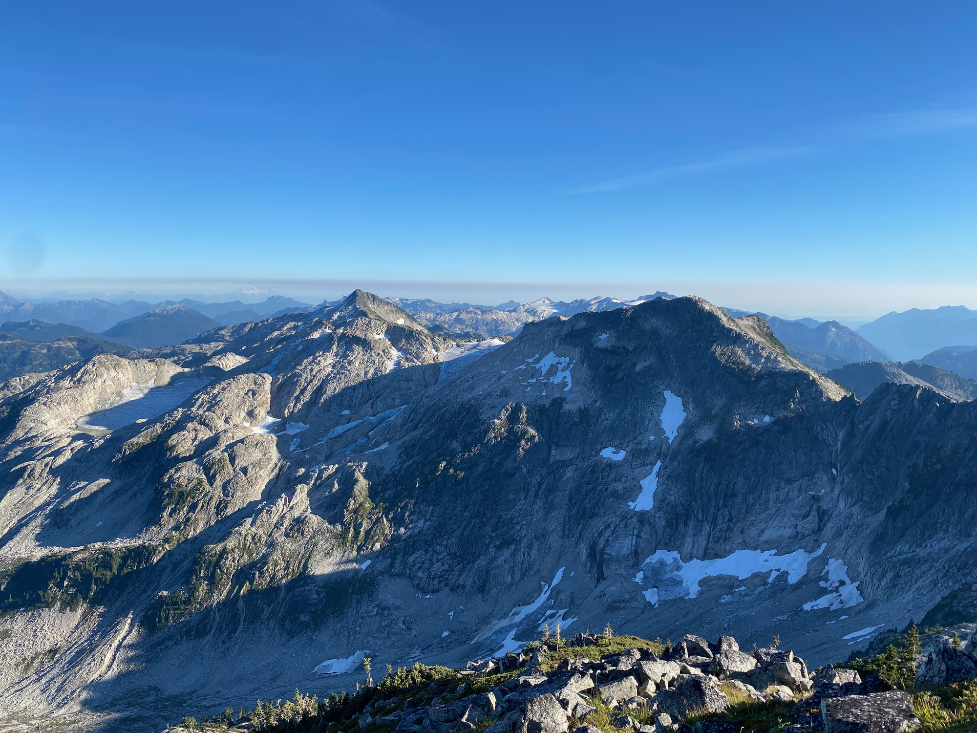
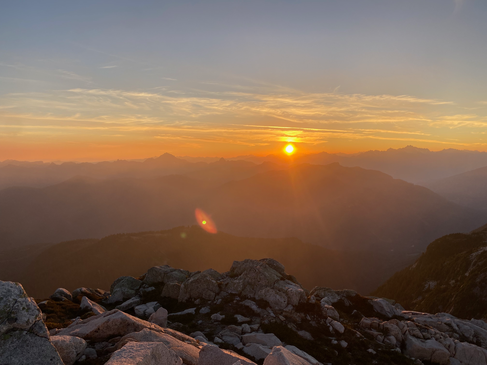
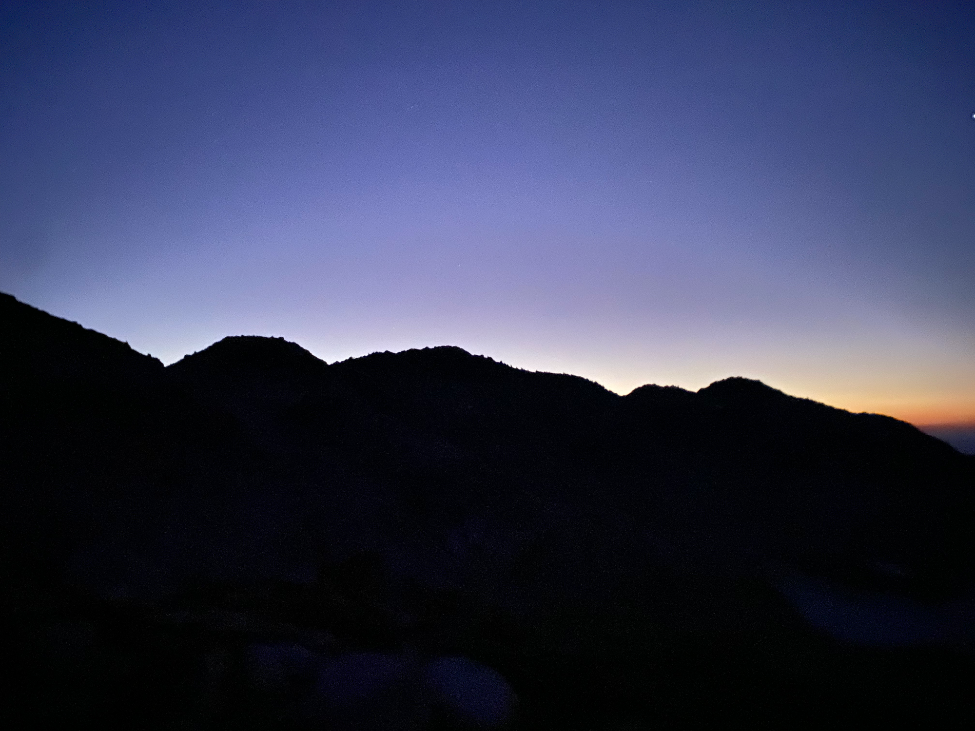
The ascents seemed much longer on the way back. To avoid meeting the bear in the dark, I camped on top of Seed Peak and hiked down the next morning. At one point I was woken up by a massive rockfall near Pinecone Peak. I woke up around 5am and headed back as the sun rose, making it back to North Van in time for an appointment.


Member discussion