Peak 2689 (“Devout Peak”) Attempt
Date: August 24, 2025
Distance: About 9.5km round-trip from the GDT
Elevation gain: 1135m
Peak 2689 (“Devout Peak”) is a prominent peak in a remote corner of Jasper National Park, 22km northwest of Mount Robson. It towers above the Smoky River valley, which contains the first part of Section G of the Great Divide Trail.
I had this peak on my radar as a potential GDT side trip: there was very little online information and no beta, but photos and topo maps made it seem like it might be doable. My plan was to ascend a valley running west-east to the south of Devout Peak, then climb to a flat area southeast of the summit, then scramble up the southern ridge. In the end I had to turn around 150m from the summit due to a risky section of exposed scrambling. It was still an enjoyable detour, but there are better GDT side trips out there.
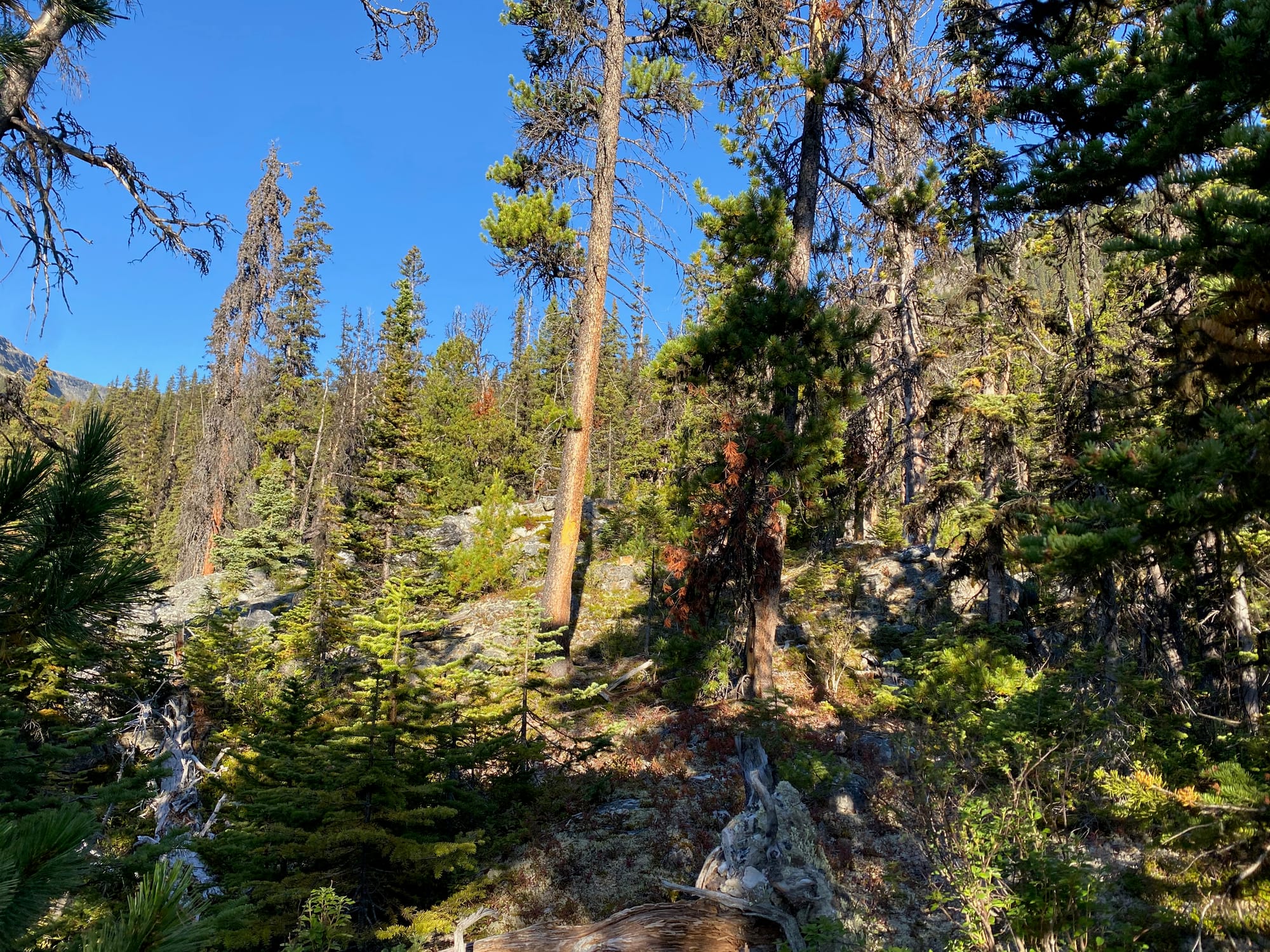
I left the Great Divide Trail about 1km north of the Carcajou river, heading west into the forest. In retrospect it would’ve been more efficient to leave the trail a few hundred metres further south. The first kilometre or so involved the standard Rockies bushwhacking, easier than what I'm used to on the coast.
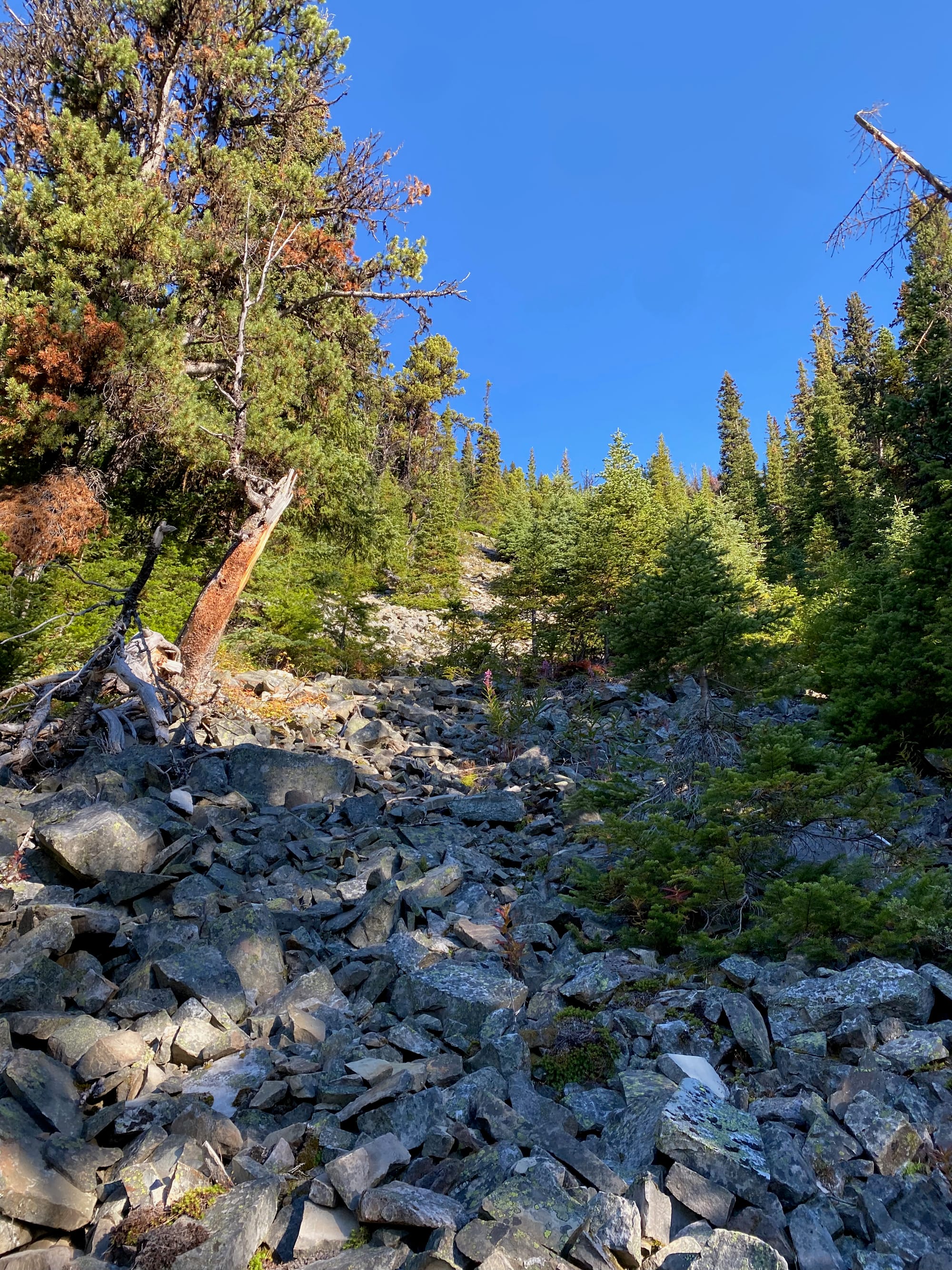
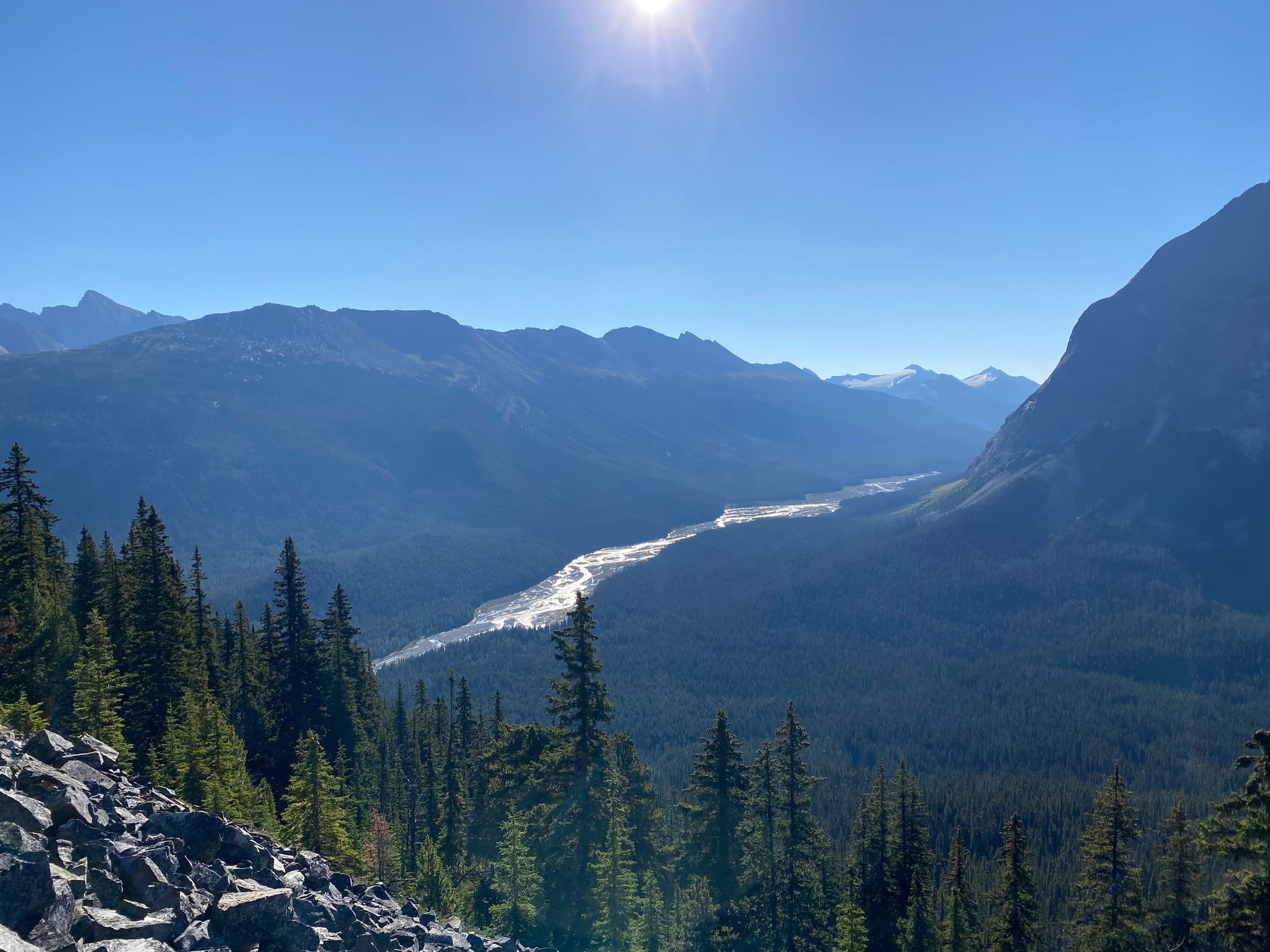
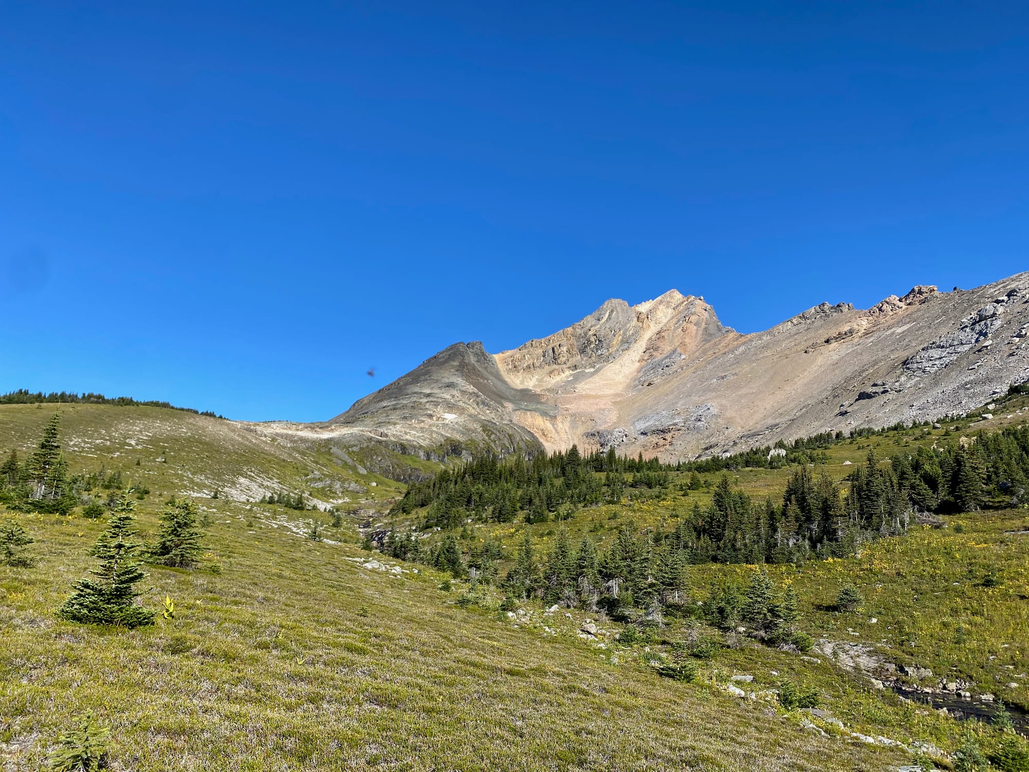
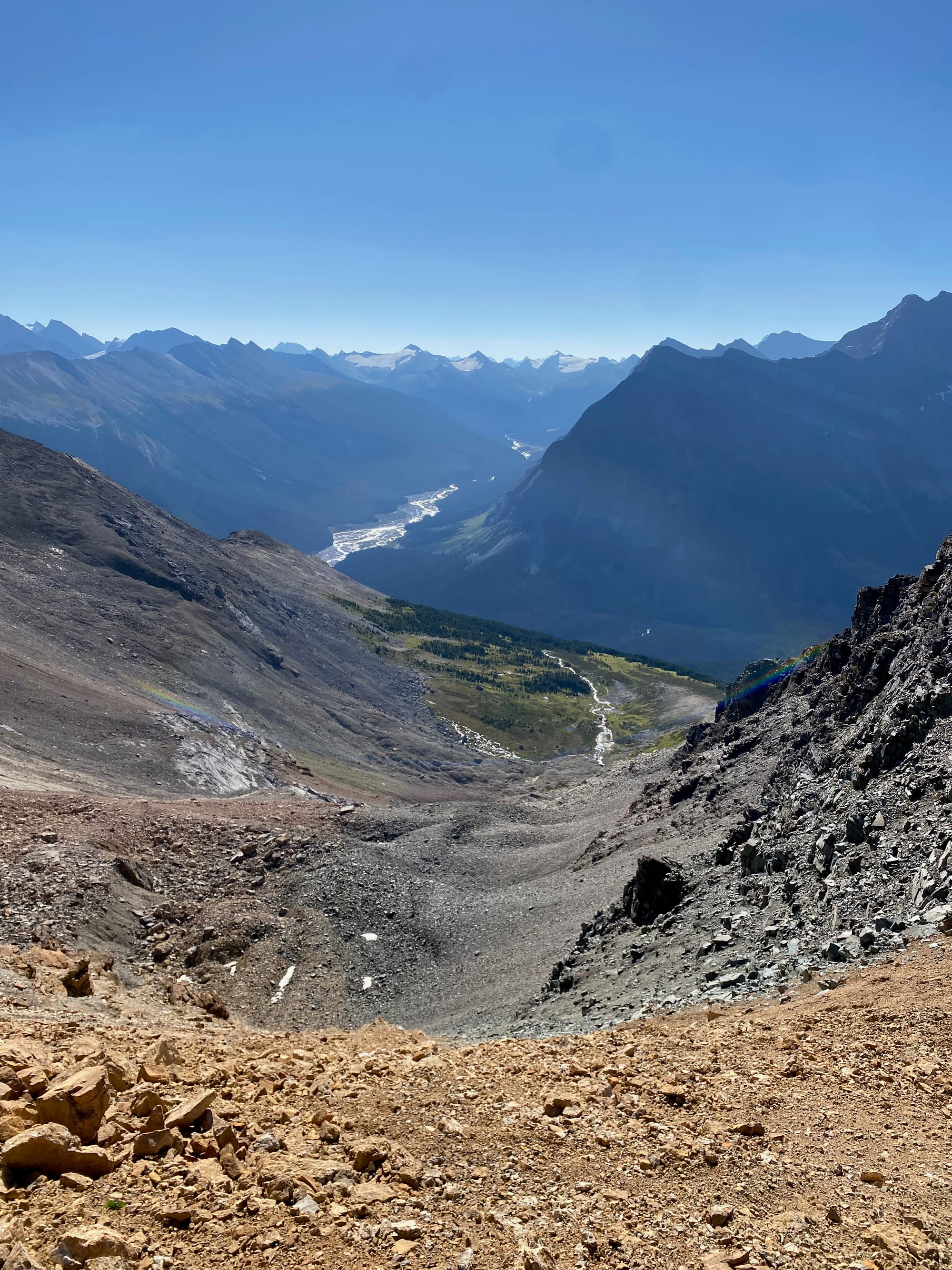
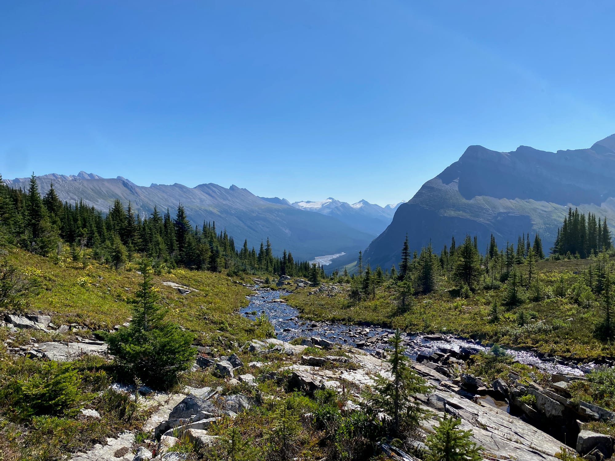
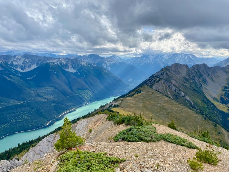
Eventually I started ascending the northern side of the valley. This got steeper and steeper. Around 1750m I reached a boulder field which made travel faster. Near the top of the boulder field I started getting brief views of the Smoky River, already far below me.
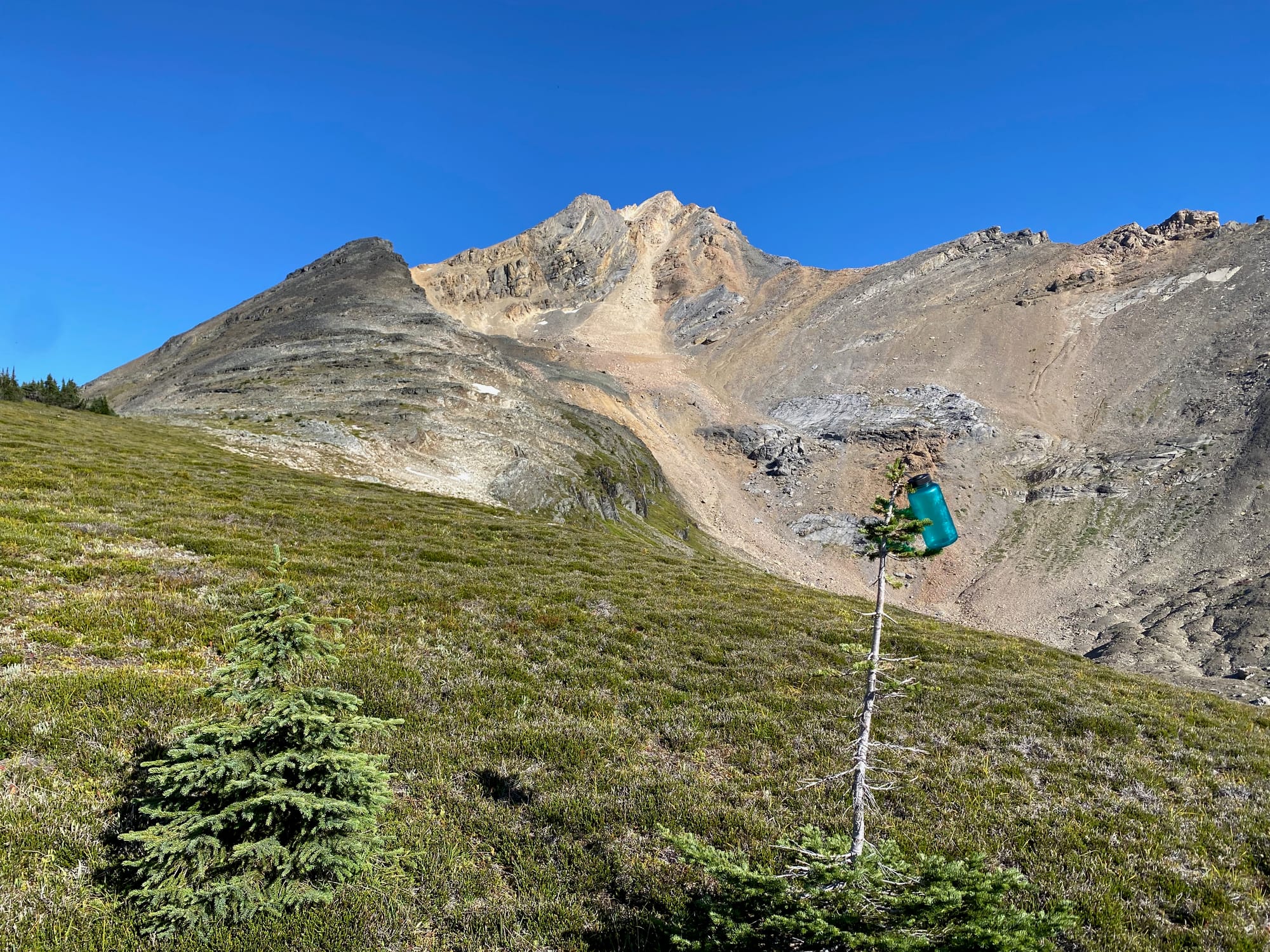
Past the boulder field, the terrain got less steep. I walked northwest through a series of small meadows, which eventually opened up into a larger meadow around 2050m with a picturesque stream running through it. The summit and its two false summits came into view.
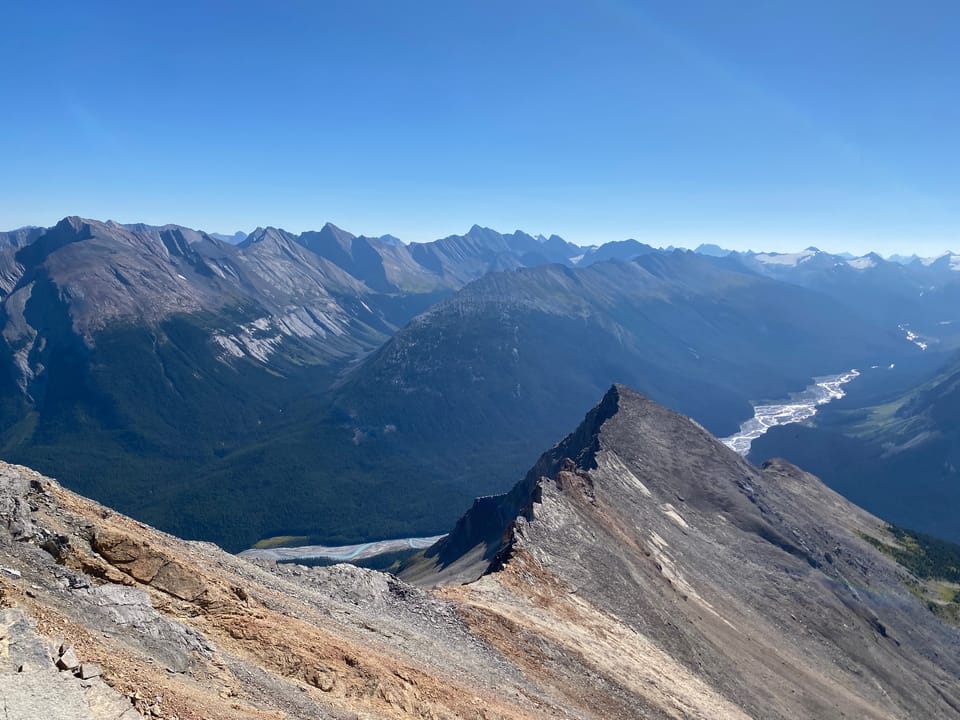
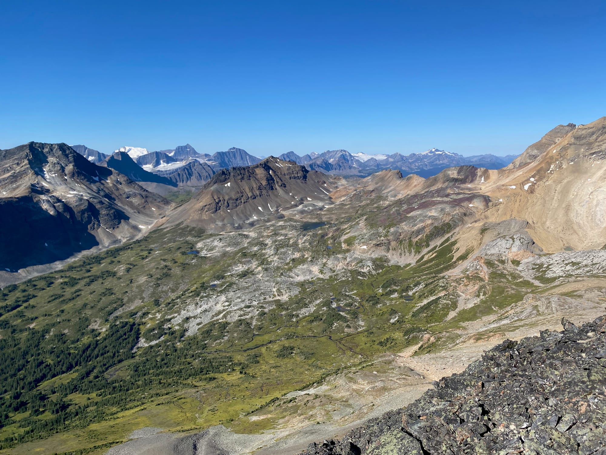
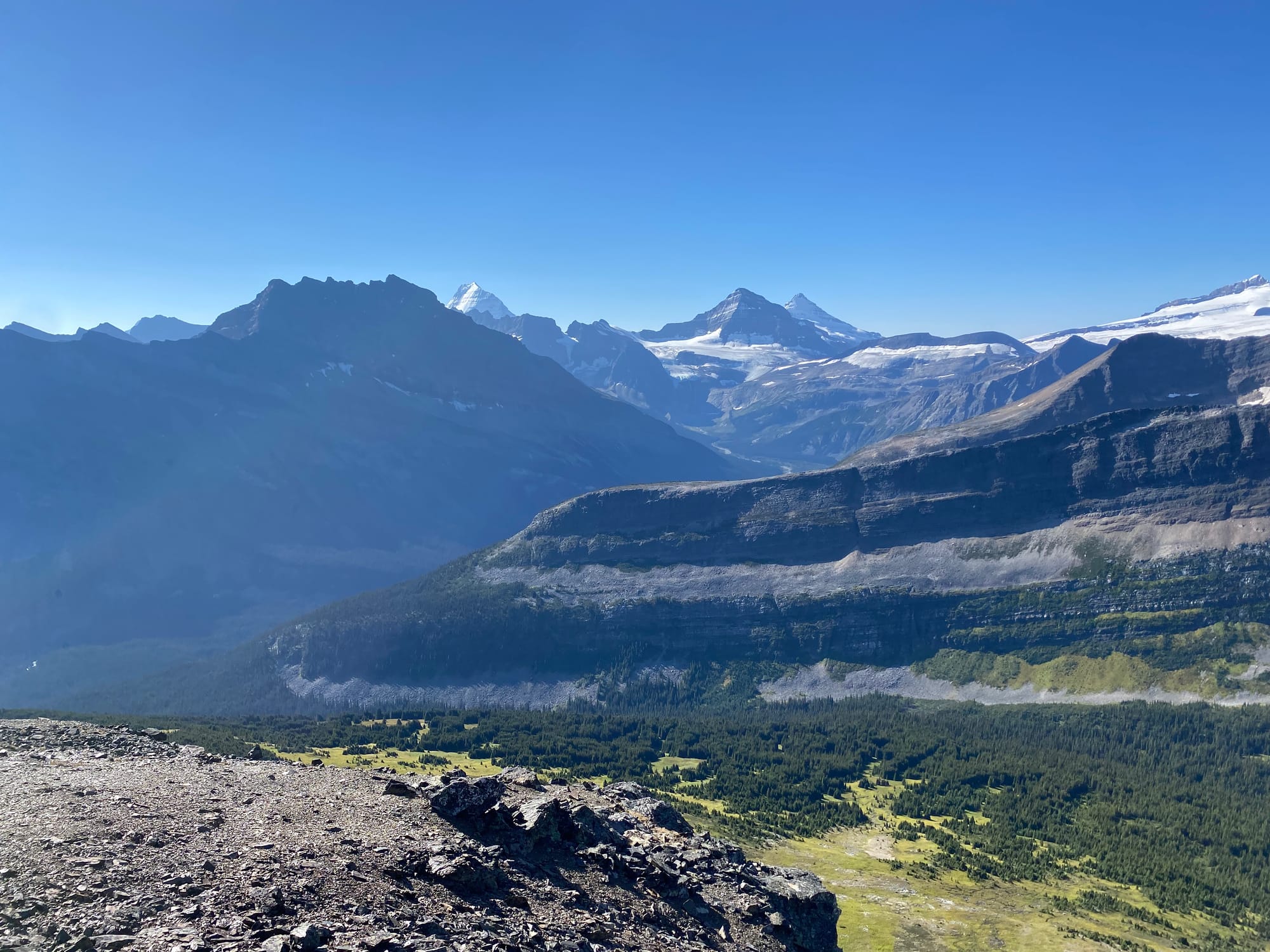
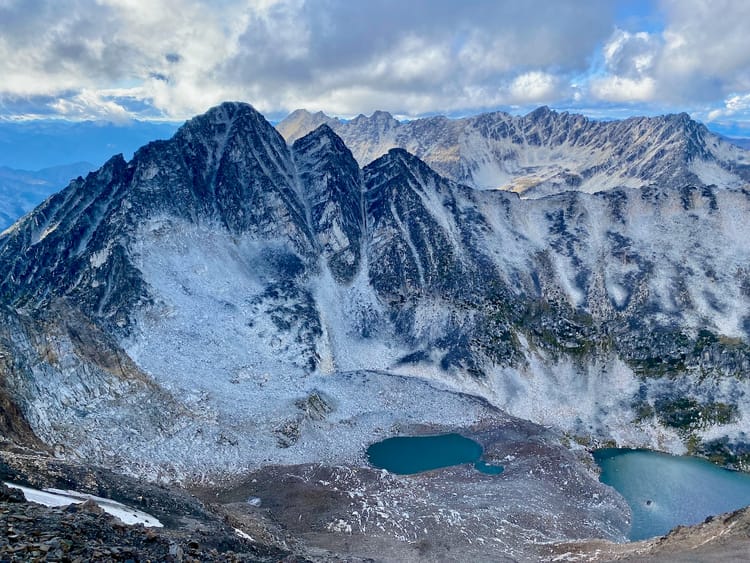
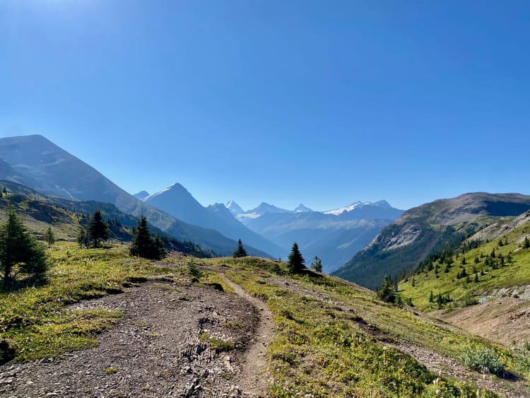
From there I walked up the southern ridge to the first false summit at 2450m. This never exceeded class 2 scrambling. New perspectives could be found of Carcajou Pass and the rarely visited basin to the south of Whiteshield Mountain and Mount Jessie. Mount Robson, which had been hidden behind another mountain, finally made an appearance here.
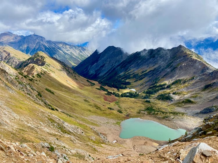
It looked like there might be a tricky down climb from the first false summit, but luckily this wasn’t the case. It was an easy walk to the base of the next false summit. Two types of rock joined here, creating a striking line.
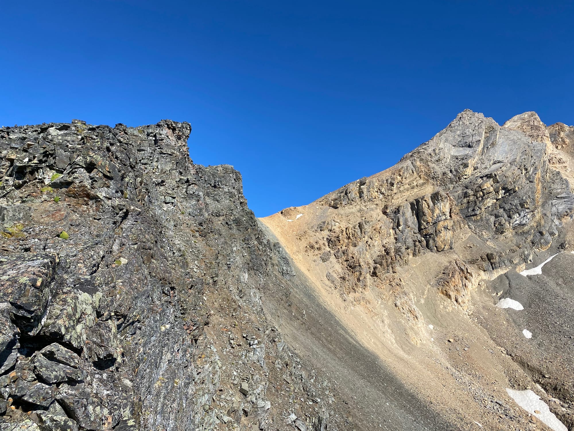
The route to the second summit involved some brief class 3 scrambling up a chimney between narrow fins of rock. The terrain was starting to get exposed. I eventually reached the top of the second false summit at 2550m, revealing the rest of the route.
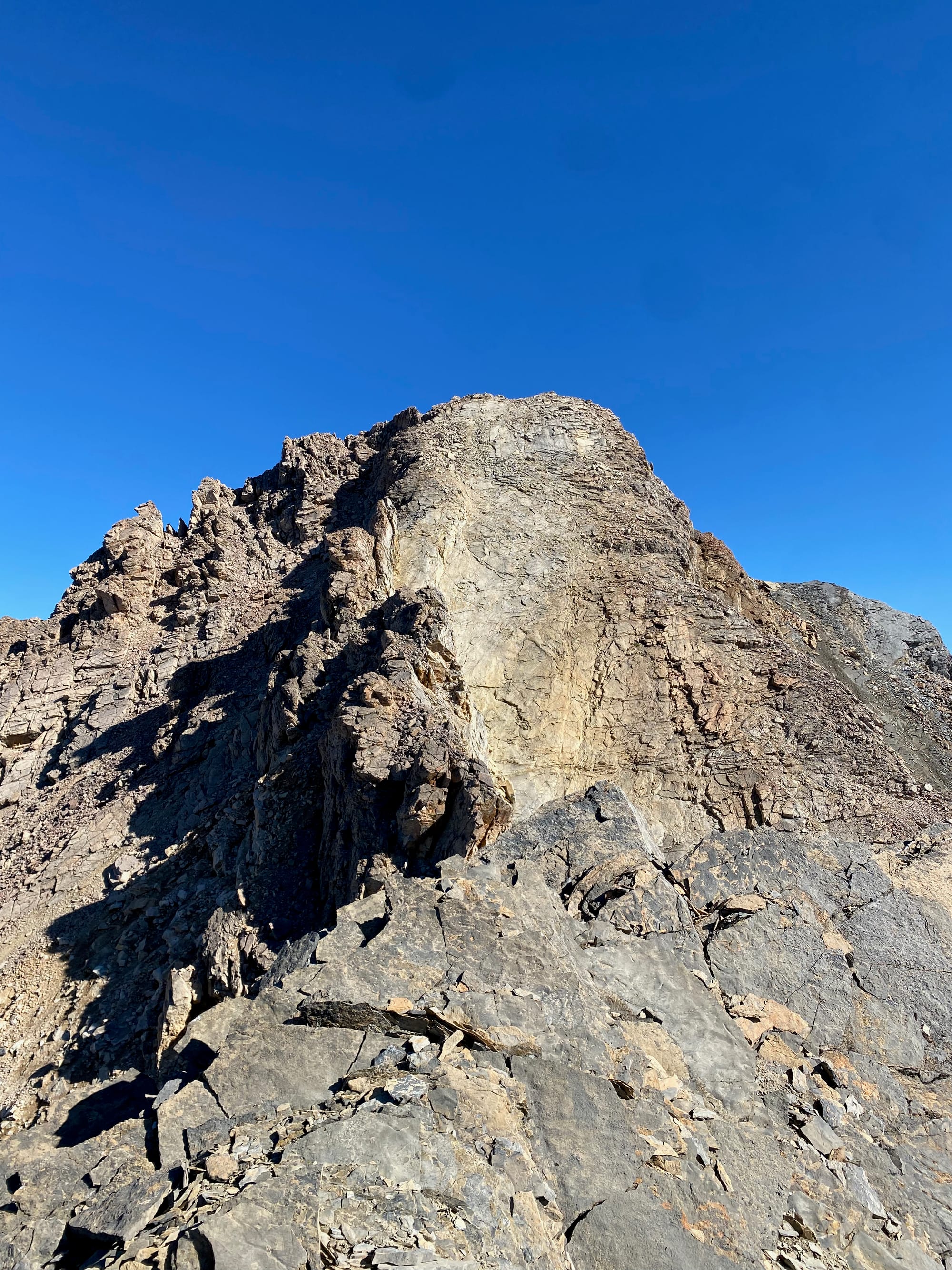
Up next was a steep downclimb, followed by a series of jagged pinnacles along a narrow ridge with massive exposure. Past that, a steep slab guarded the peak. If I was with other people closer to civilization, I might have continued. In such a remote area, at least a day’s hike from the nearest person, I didn’t want to take such a massive risk. It was time to turn around.
I returned to the flat area past the first false summit, had lunch, admired the views again, and took advantage of the altitude and good weather to send some inreach messages.

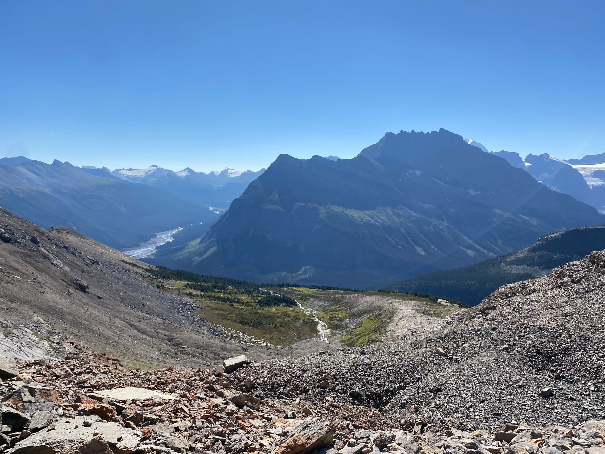
Once that was done, I headed down, taking a shortcut down a steep scree slope to bypass the first summit. This led me into the bowl below the peak. From here I headed west to re-join my ascent route, then retraced my steps to return to the main trail.
Member discussion