Nicomen Mountain
Date: March 14, 2025
Distance: 14.8km (out and back to Nicomen Mountain), about 17km (with Little Nicomen Peak detour)
Elevation gain: 1258m
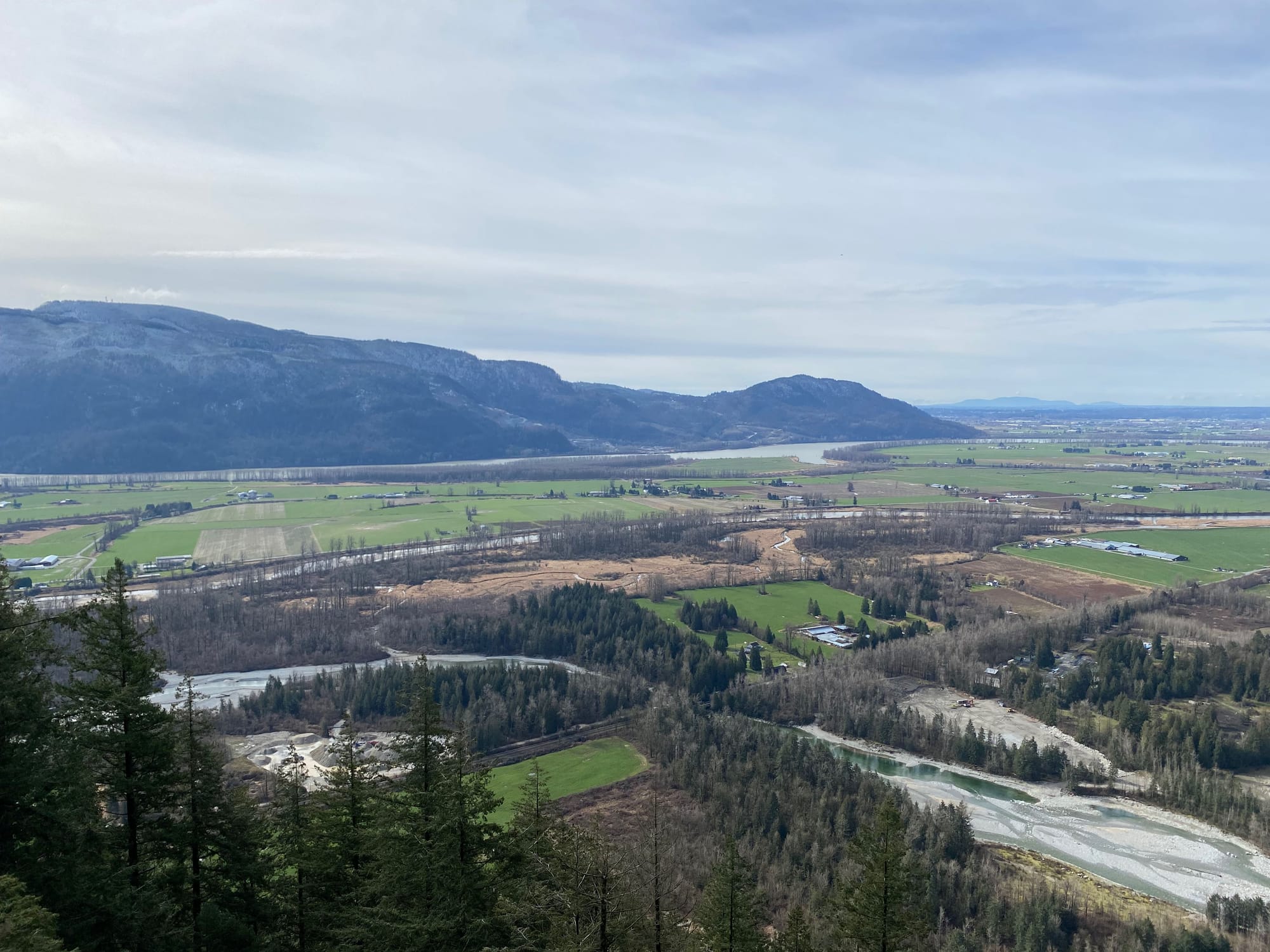
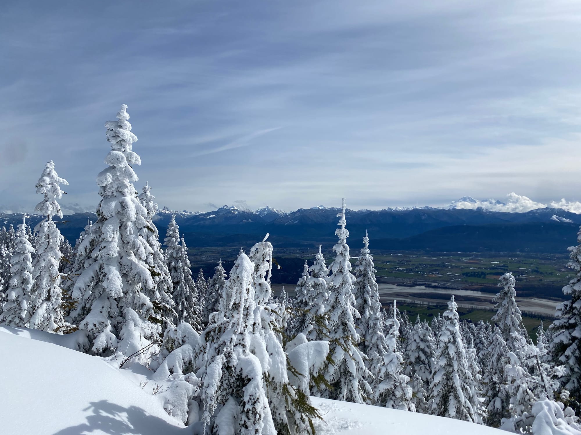
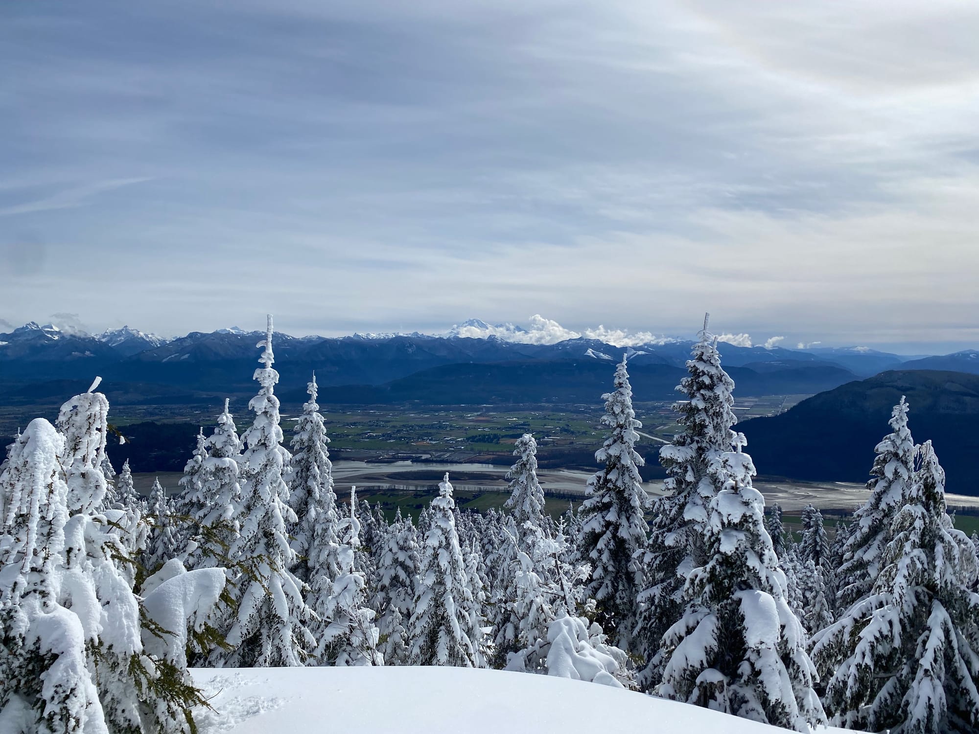
Nicomen Mountain is an obscure peak near the town of Deroche. In 2020, a Mission local, Craig Bresett, marked and cleared a trail to the summit, linking decommissioned logging roads and existing trails on the mountain’s lower slopes and clearing a route for the rest of the way. An open area just past the summit provides expansive views of the Fraser Valley, the peaks around Chilliwack, and Mount Baker.
Nicomen is still an obscure destination, but it’s well worth the trip. It’s a good snowshoe objective, although the trail starts near sea level so you’ll have to carry the snowshoes for a while. It would also be a good trail run in drier conditions.
On the way back, I added a detour to Little Nicomen Peak, a paragliding launch spot also providing a good vantage point over the Norrish Creek valley.
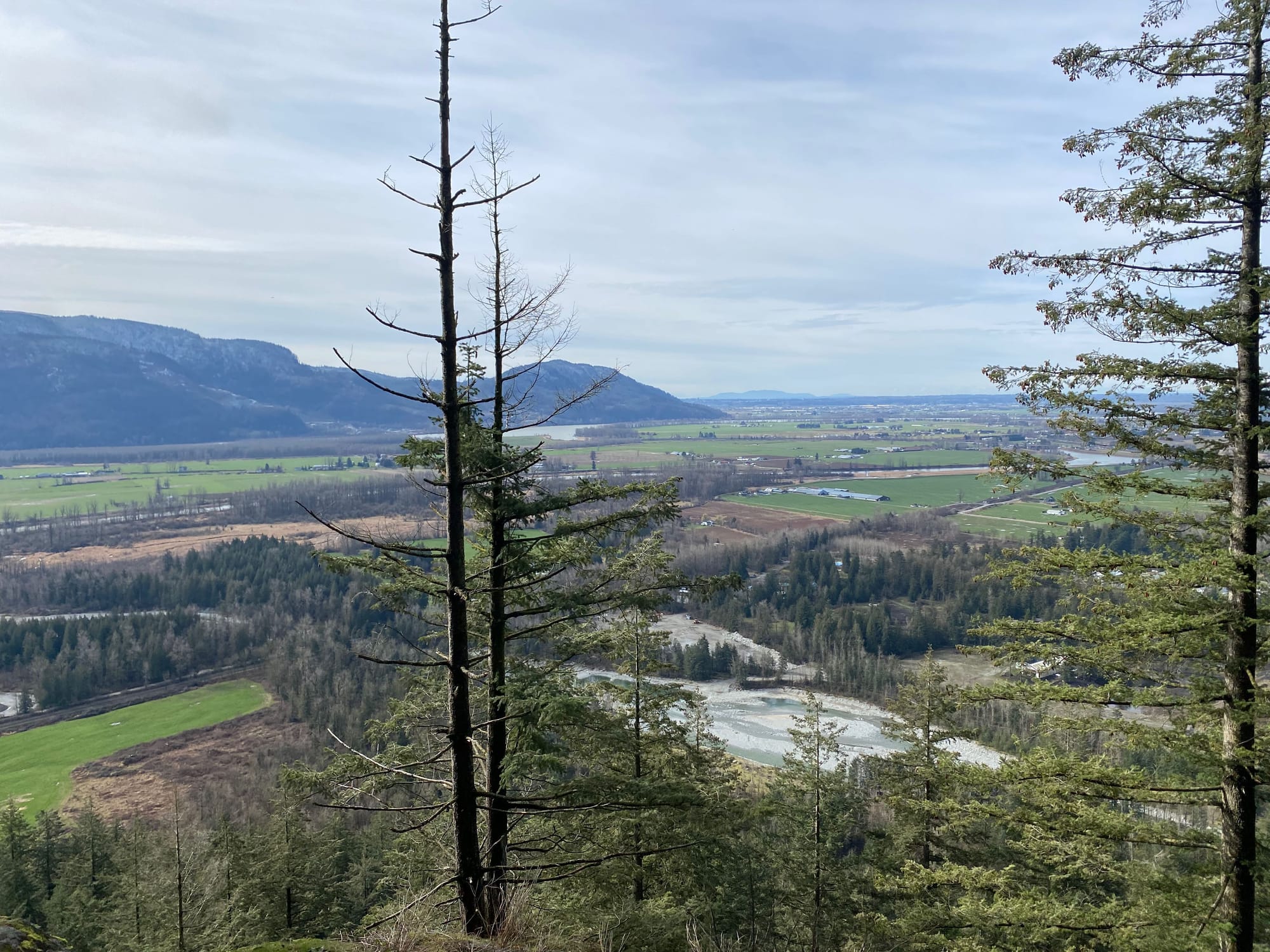
The first few kilometres are along the more well-trod Raven Bluffs trail. The trailhead is at a bridge where the unusually-named Hawkins Pickle Road crosses Norrish Creek. I walked north, crossed the train tracks (watch out for trains!), then followed the trail along the side of the creek. Eventually it headed inland, then began a steep climb up the slopes of Raven Bluffs. There were several viewpoints along the way, some on the trail and some accessed by short spur trails.
At one point I met two local hikers returning from a hike to the bluffs. We chatted for a while and they encouraged me to post a trip report.
At 350m the trail forks, with the Nicomen route heading southeast (right). If you pass a cabin you’ve gone too far.
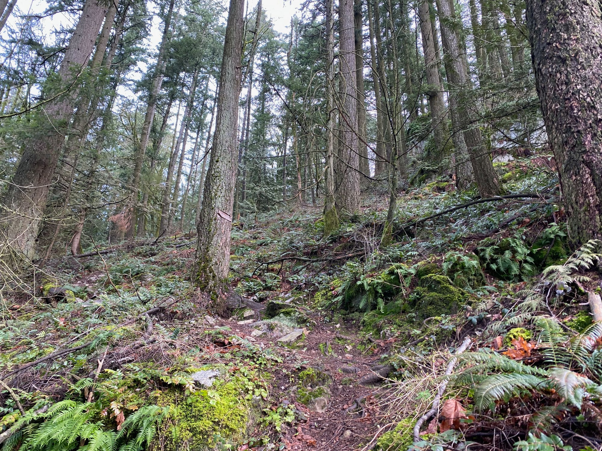
The trail passes a couple more viewpoints, one with a bench, then connects with an old FSR, well-marked with flagging tape.
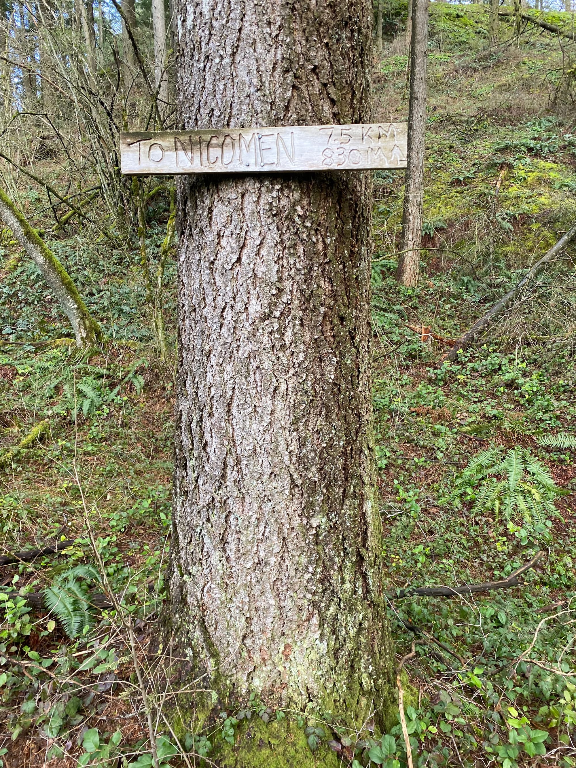
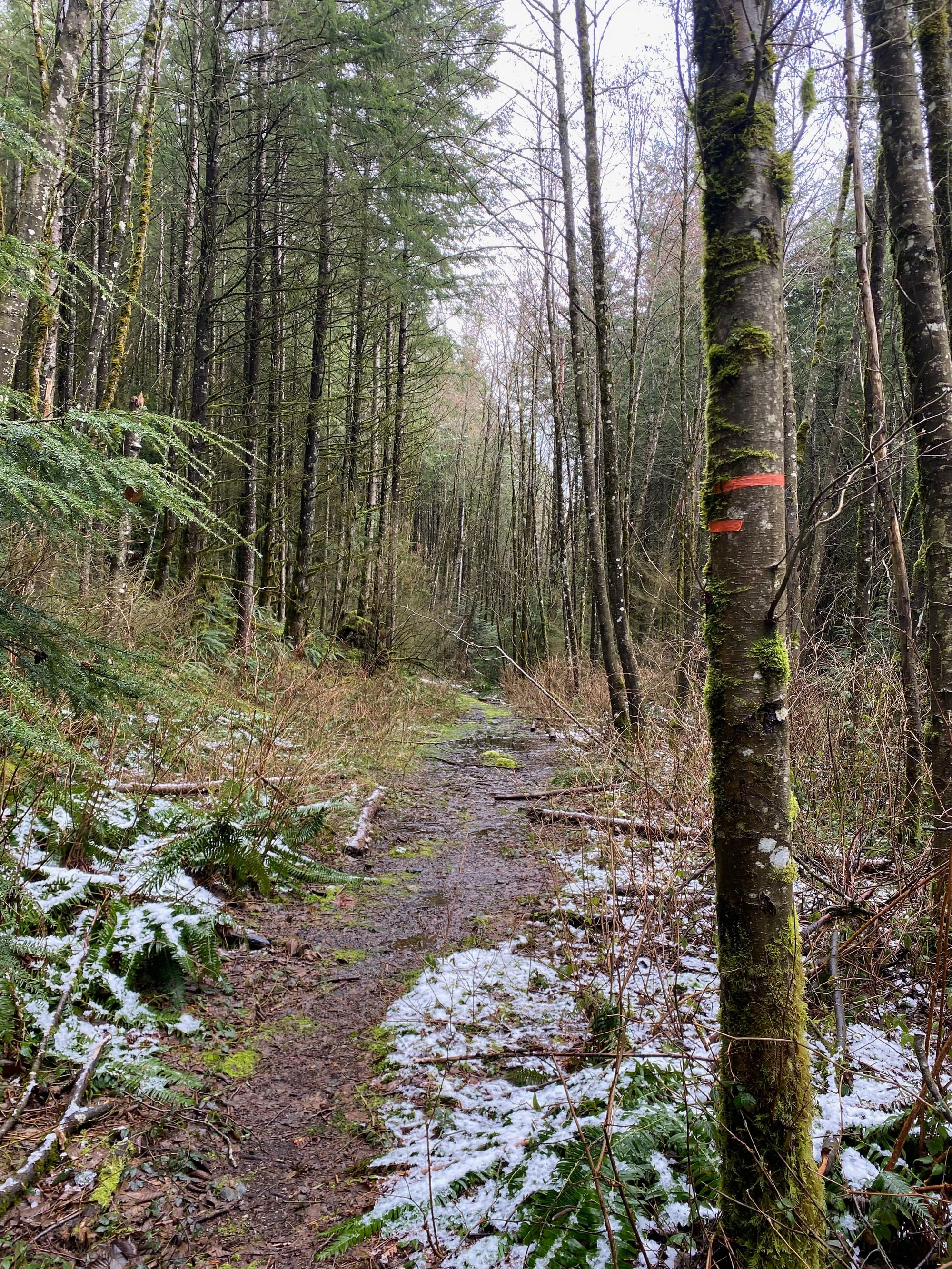
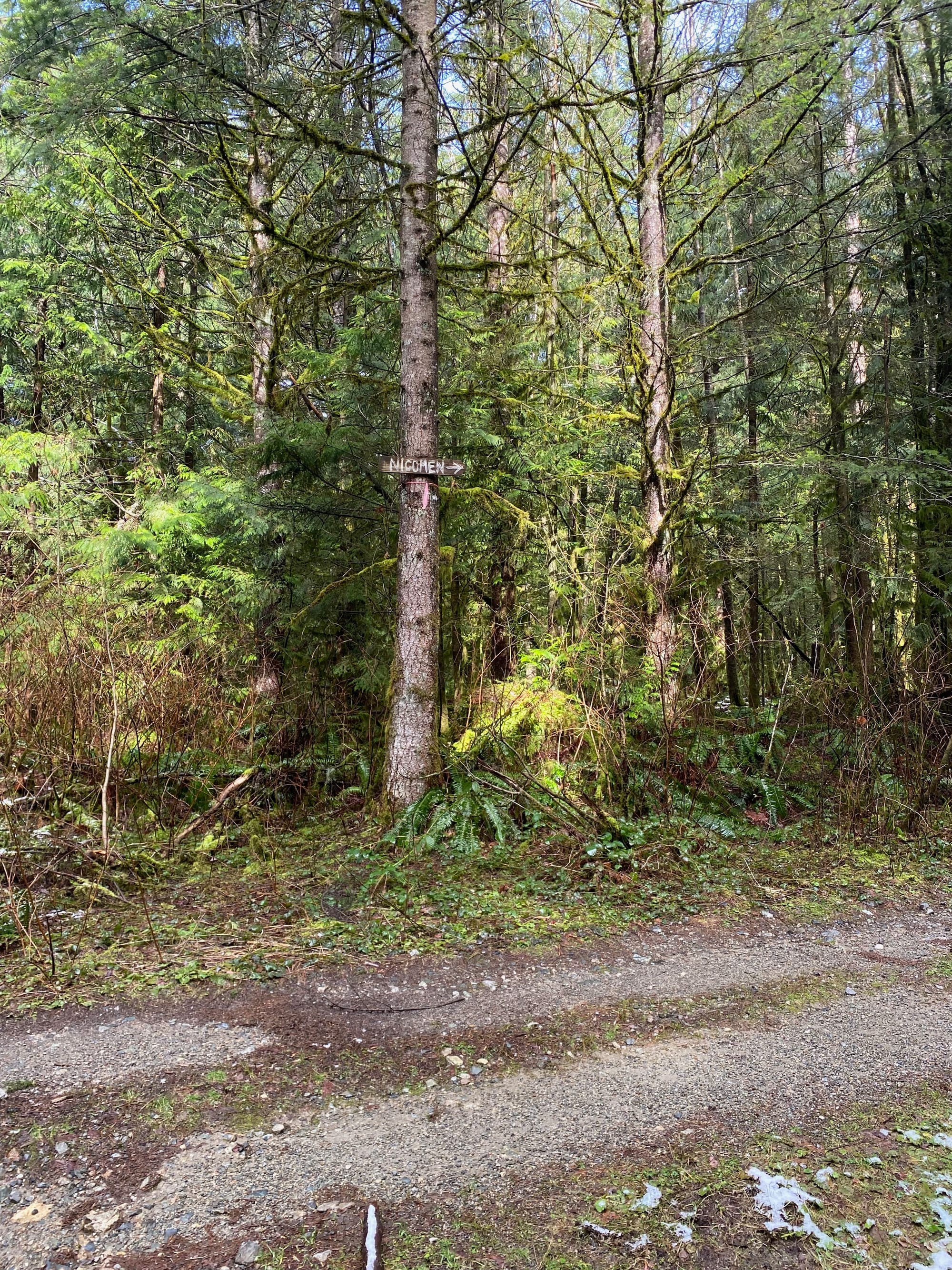
This eventually intersected a newer FSR with a sign towards Nicomen Mountain. Turn right here (left leads to Little Nicomen Peak).
After a couple switchbacks, I reached a hairpin turn with a good view across the Norrish Creek valley, then headed east to the end of the road.
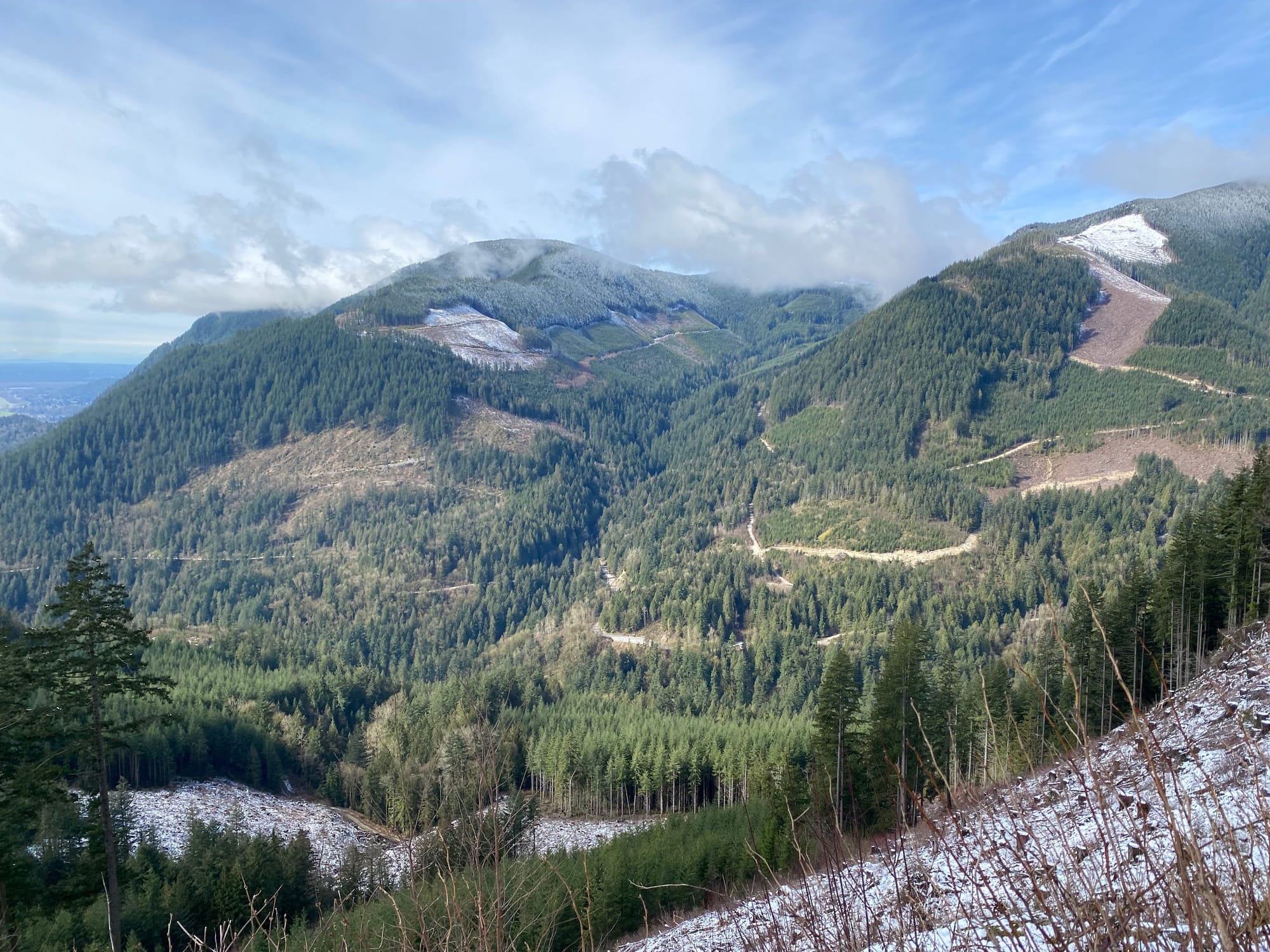
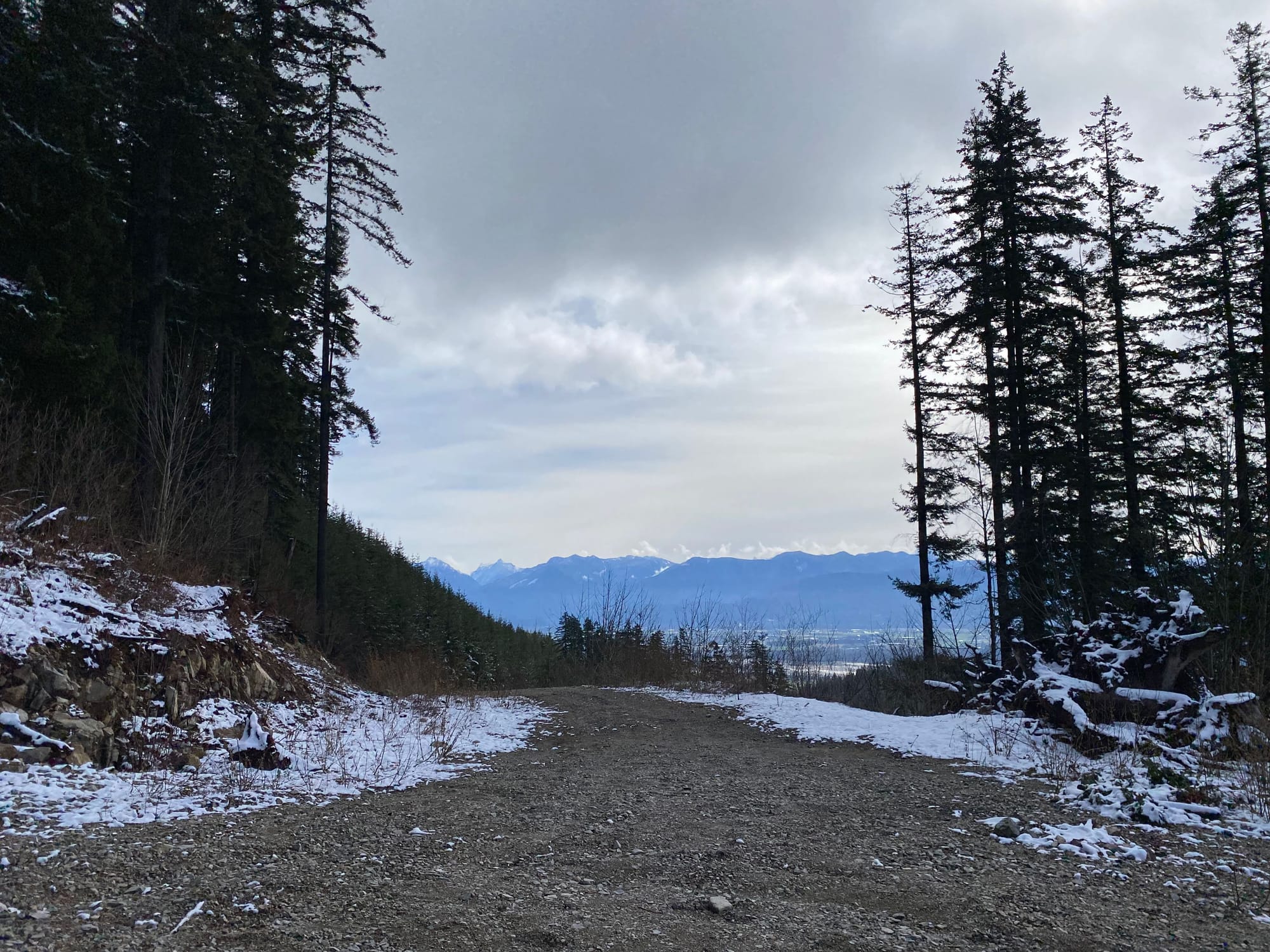
At this point I’d completed two-thirds of the distance but only slightly over half the elevation gain. As expected, the next section was quite steep as it led out of a clearcut and into second-growth forest. Once in the forest, the grade eased. The trail was well-marked and a flag was always in sight, a testament to the effort spent on building the trail.
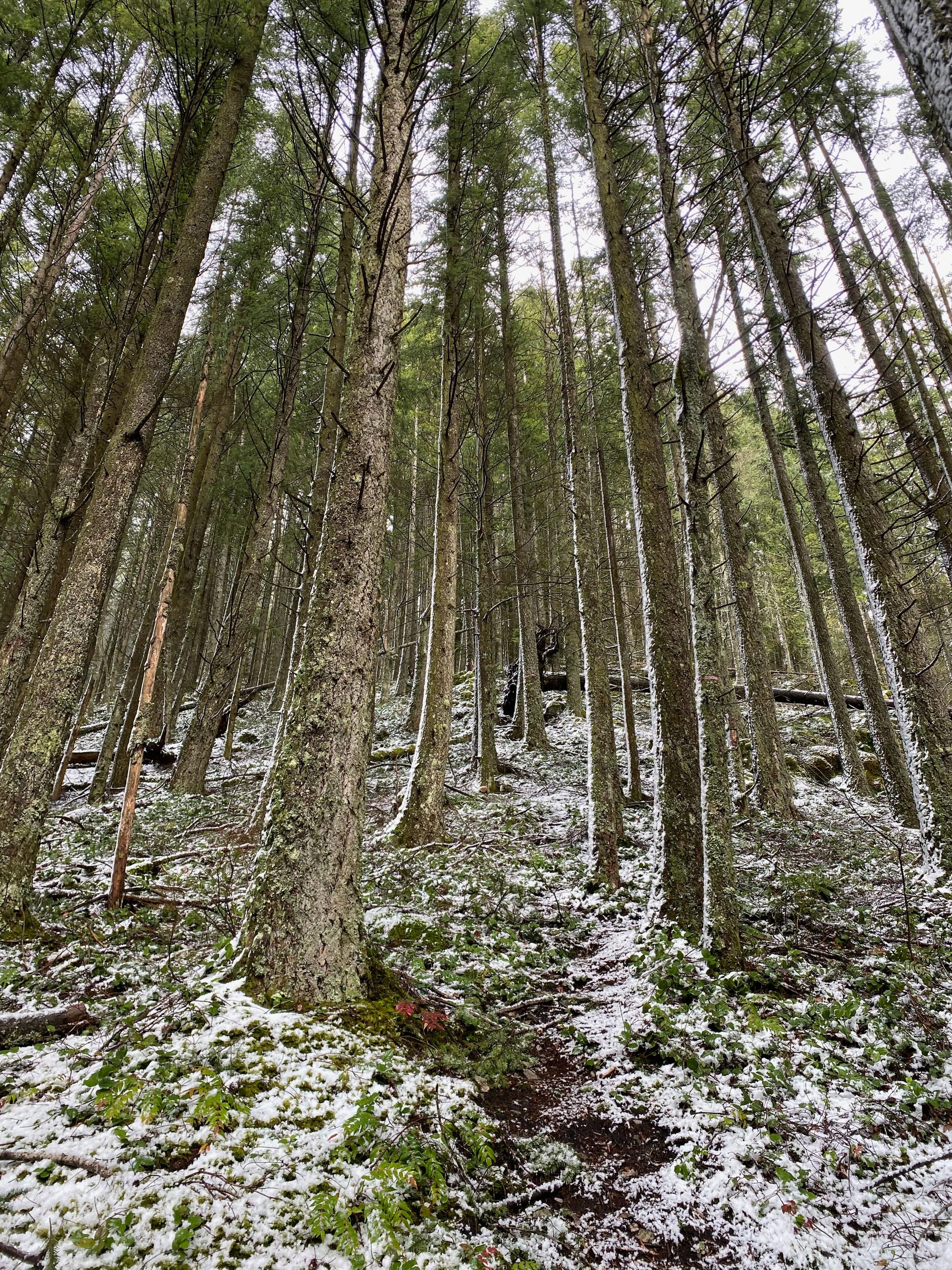
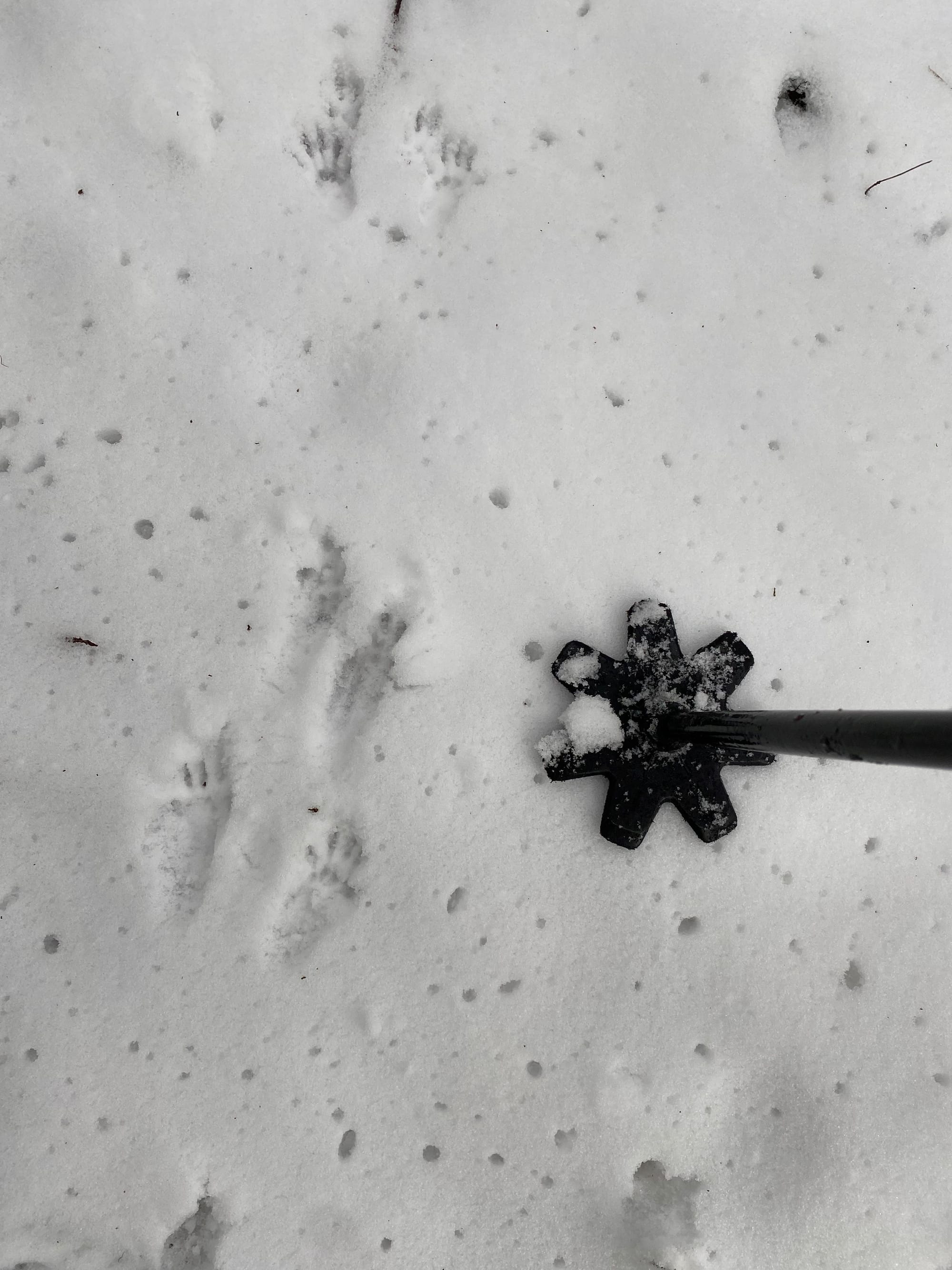
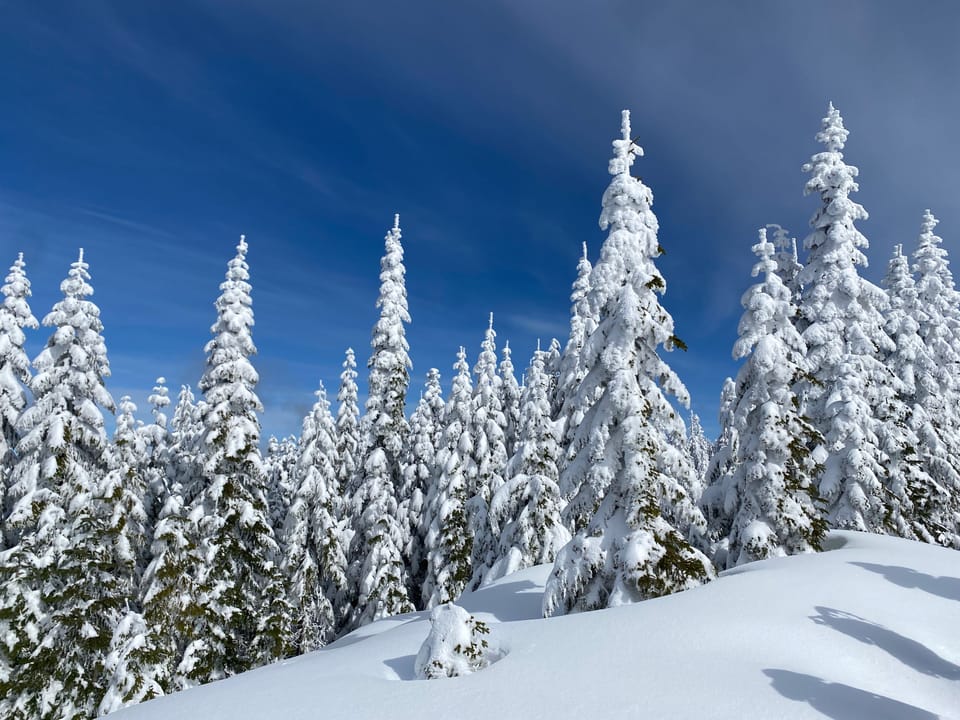
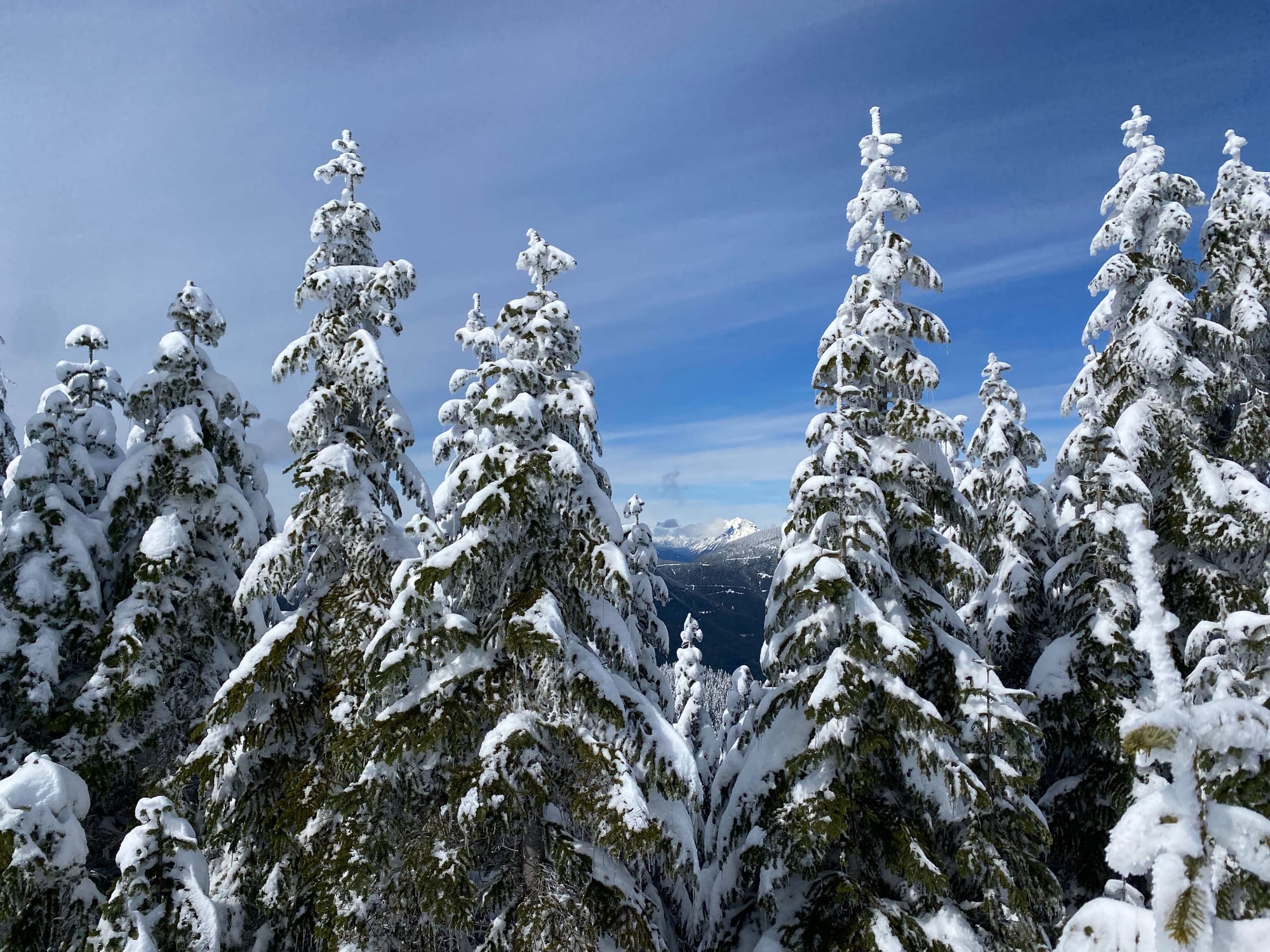
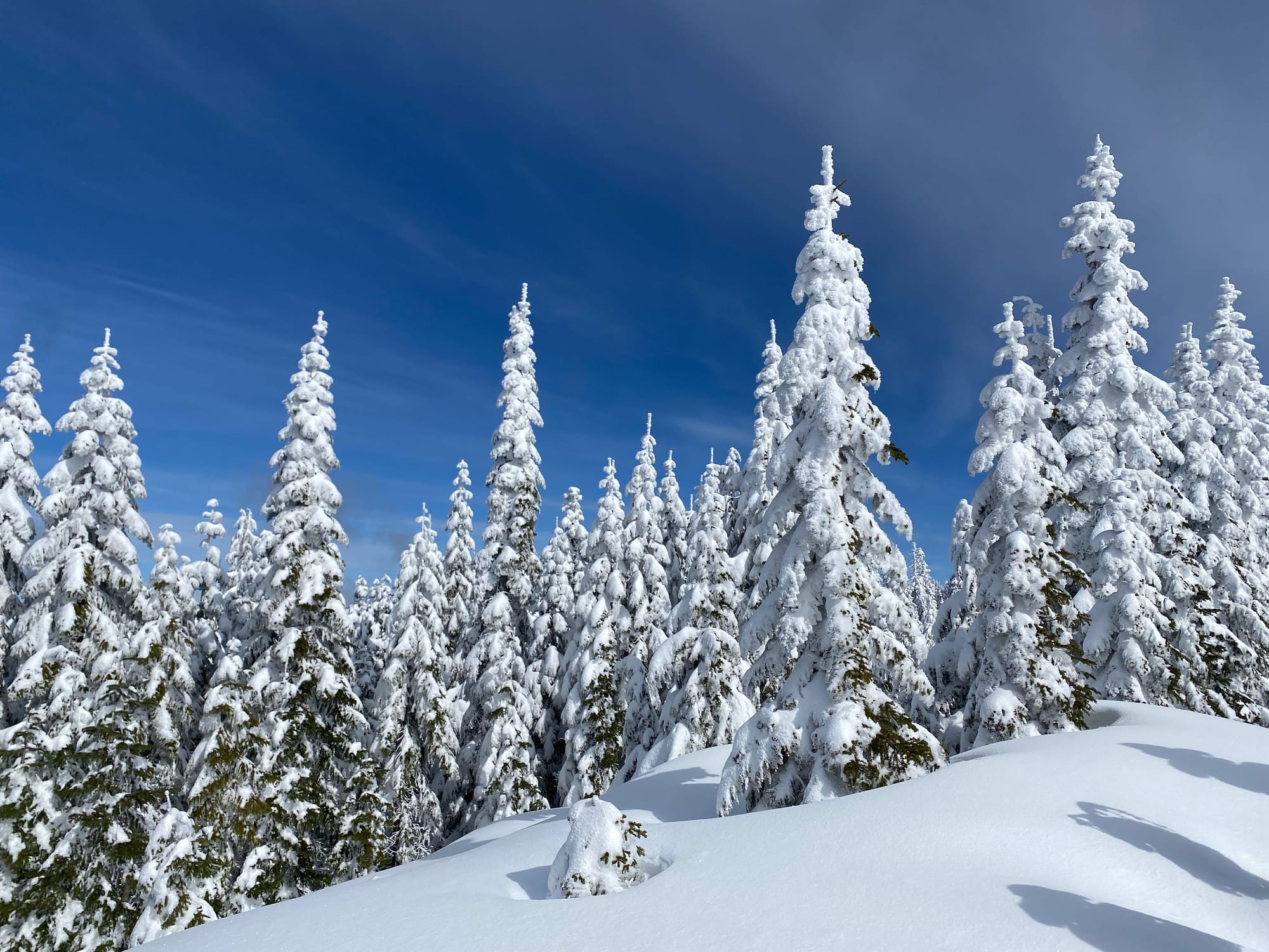
At 900m a small open area provided views to the east. At this point, the snowshoes came on. It had snowed recently, and soon I was trudging through deep powder.
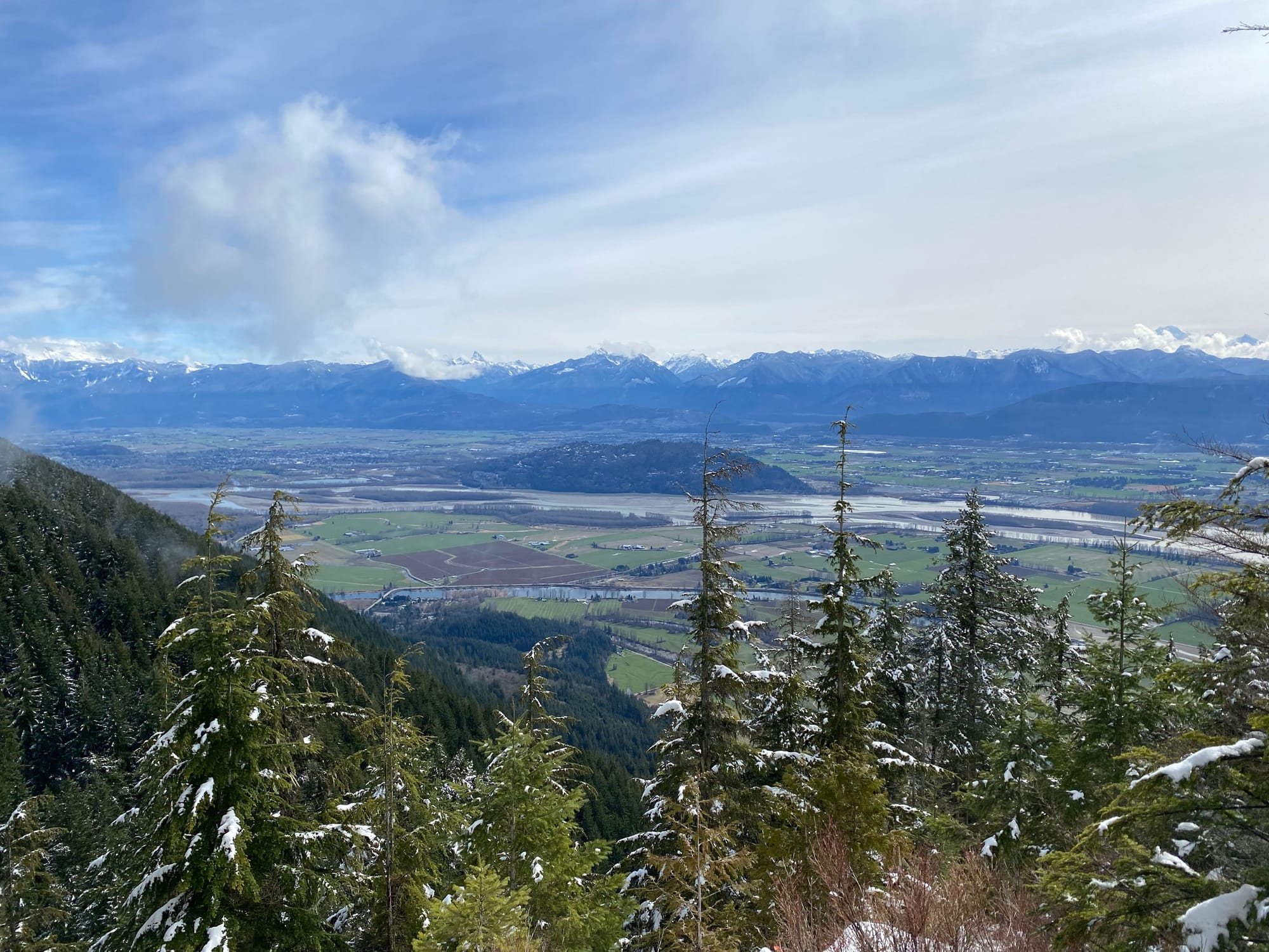
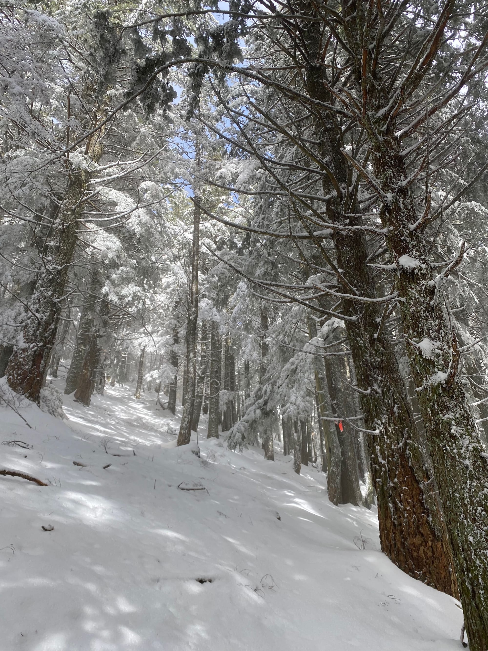
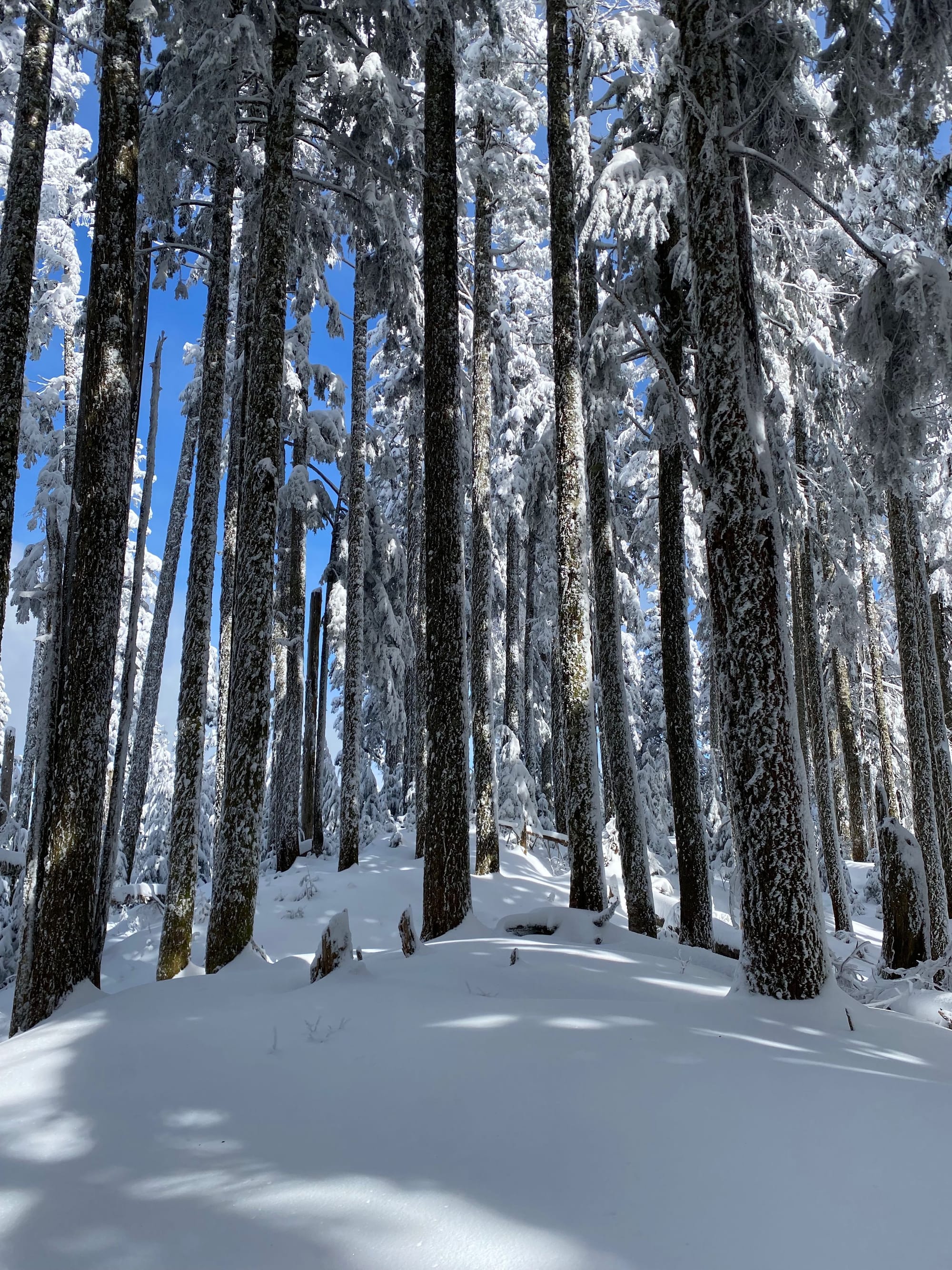
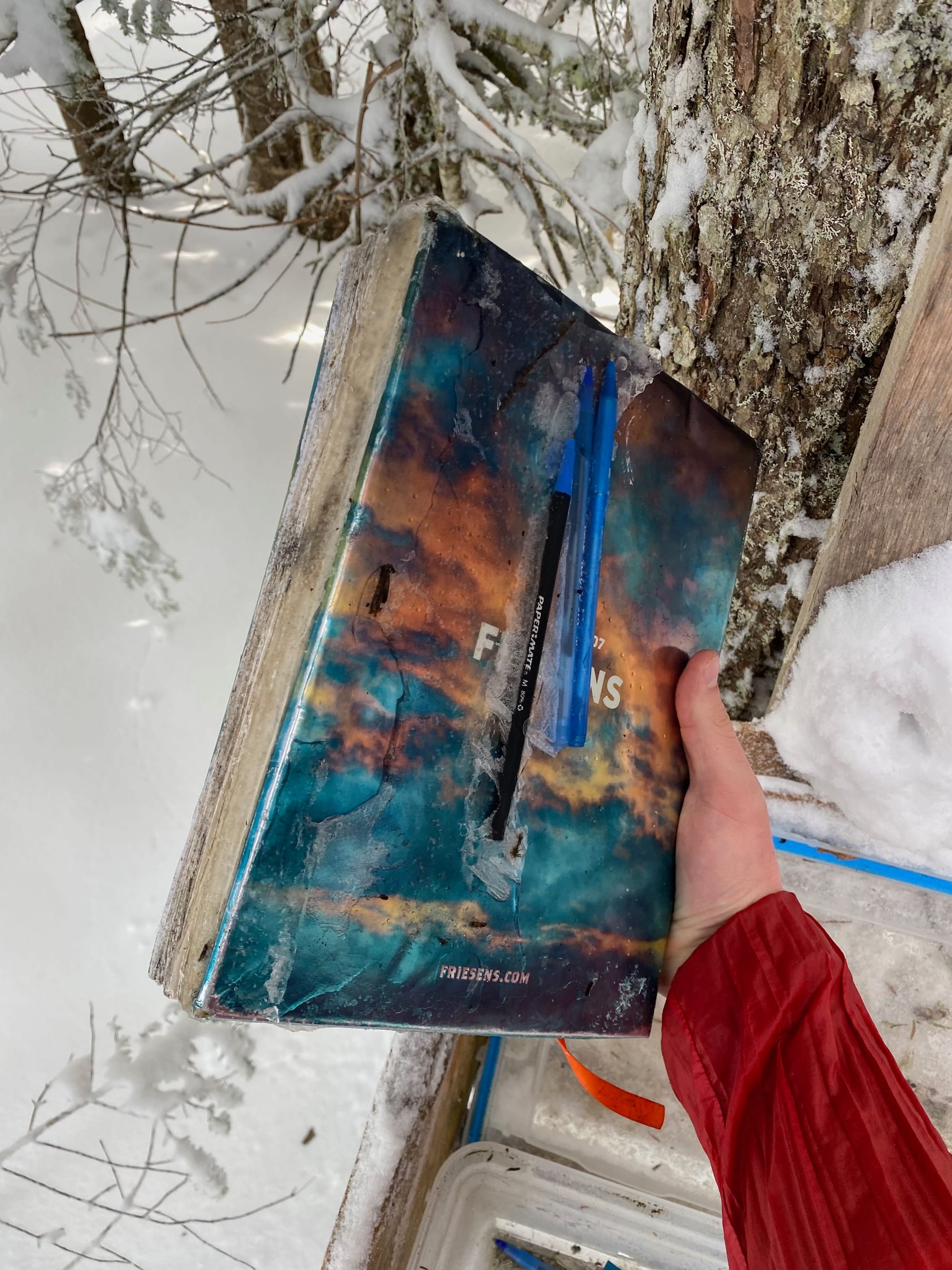
I eventually reached the ridge and headed east. From here the trail was a bit harder to follow, thanks to the snow, but the destination was clear. After a short steep section I was on the summit. There was a limited view to the north. A wooden box contains a logbook; unfortunately, the logbook and several pens were encased in ice Han Solo-style and the book could not be opened.
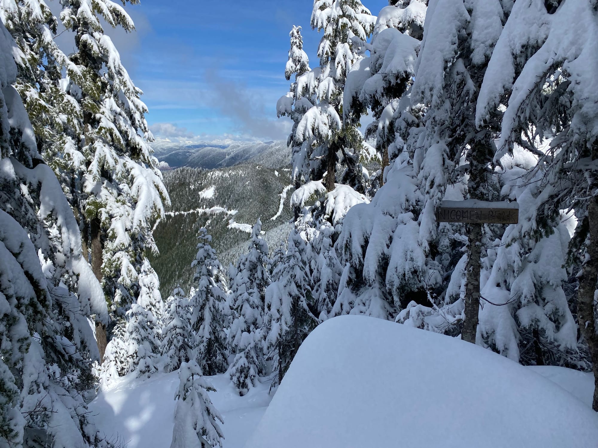
The trail continues east for another couple hundred metres. The first viewpoint is limited, but the second is much more open and was well worth the detour.
I took a short break on the summit. Unfortunately I’d spent a bit too much time faffing around in the morning and had to return to the trailhead quickly for an event in the evening.
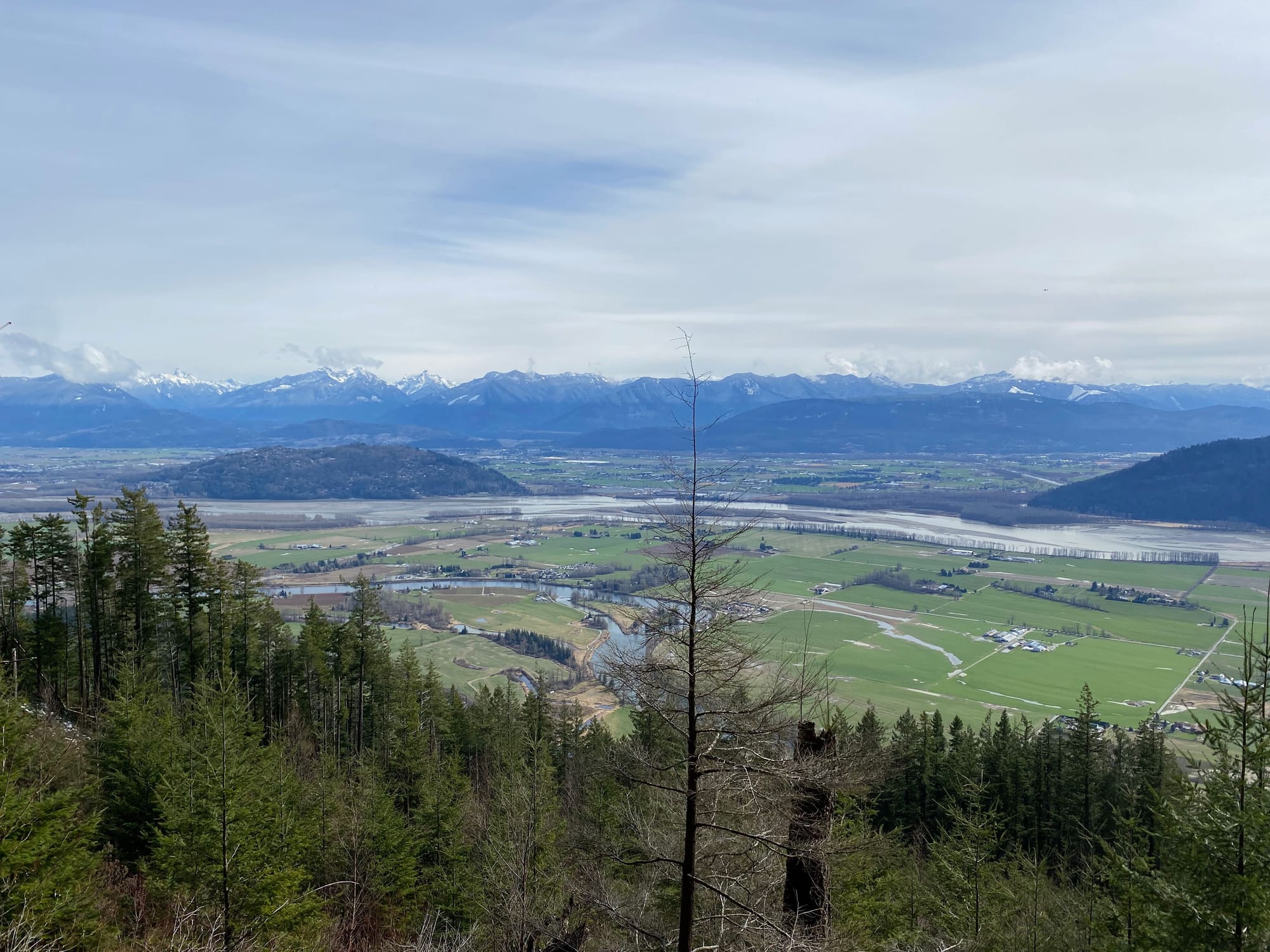
On the descent, I took a detour to visit Little Nicomen Peak. At the spot where the older FSR intersects with the new one (about 380m), I continued on the newer FSR to the paragliding launch pad, enjoyed the views, then conntnued along the main Little Nicomen trail to the southeast. This trail was a bit difficult to spot from the paragliding launch. There’s plenty to explore along this trail.
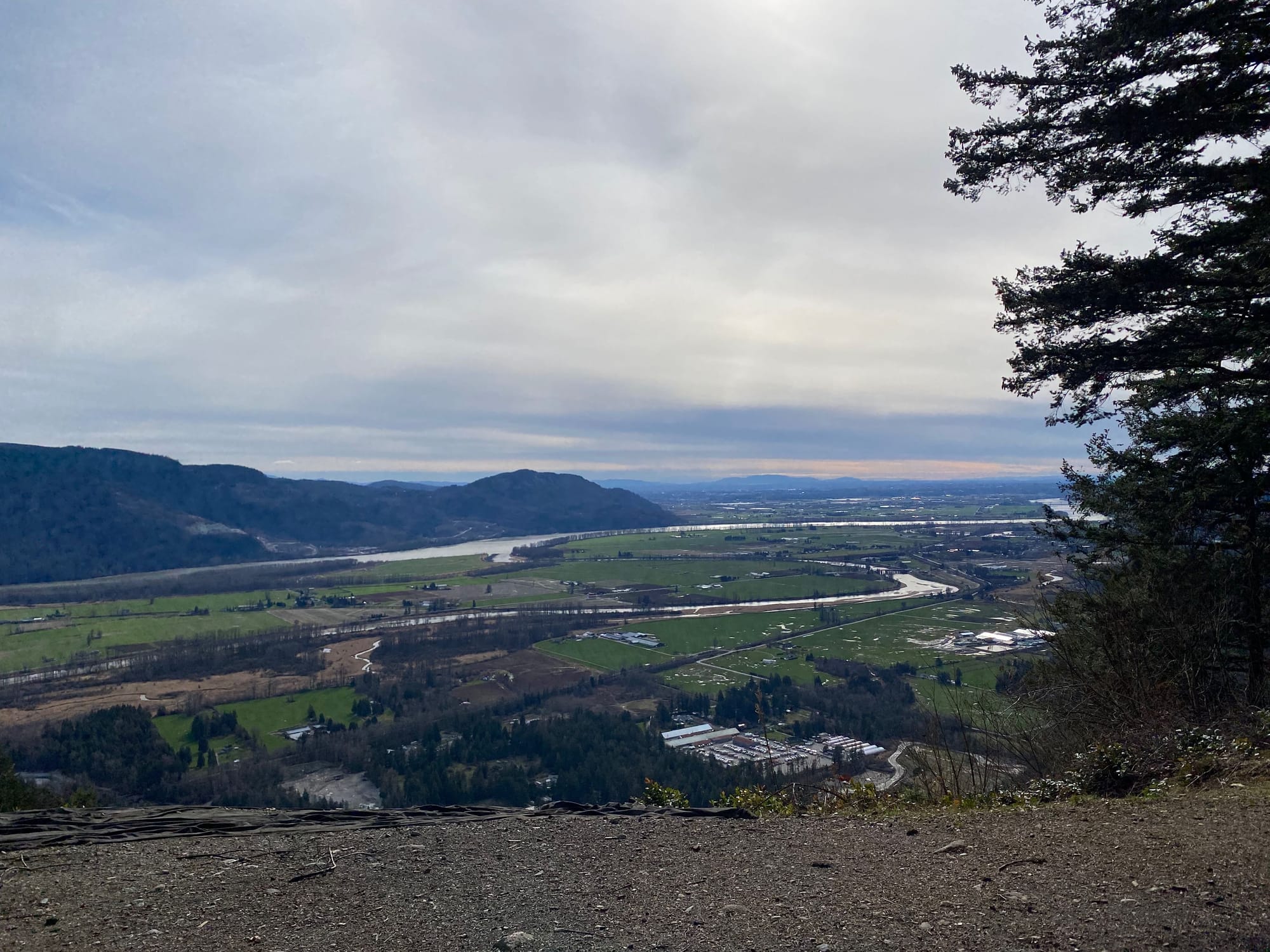
This route eventually joined the main Raven Bluffs route. I jogged back to the trailhead, barely avoided getting stuck behind a train, and began the long drive back to the North Shore.


Member discussion