Mt. Capilano
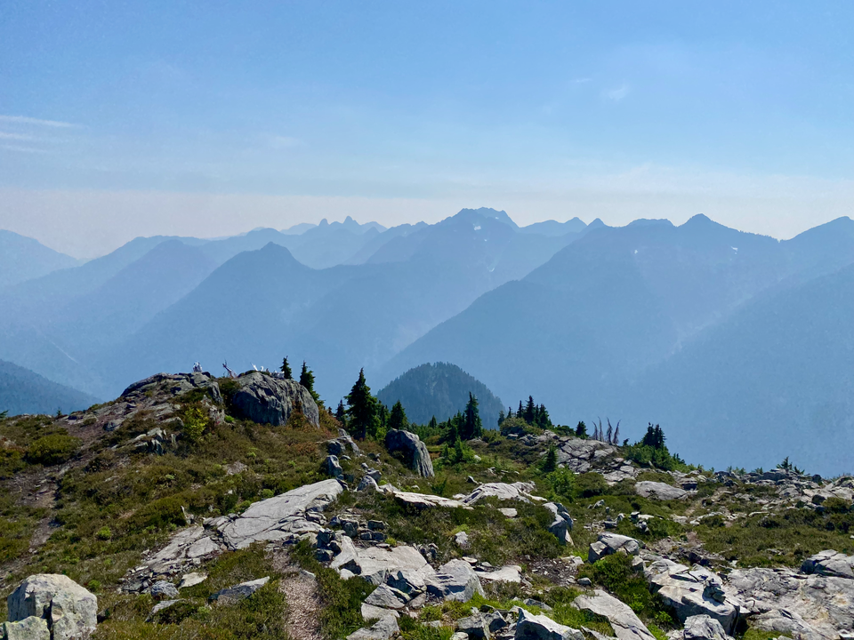
Aug 26, 2023
Distance: 29.62 km (incl. about 14 km by bike)
Elevation: 1909 m
Mt. Capilano is an obscure and underrated summit rising above Furry Creek and Howe Sound. It’s received more attention lately due to its inclusion in the Bagger Challenge (https://www.baggerchallenge.ca/). The Mt. Capilano massif includes a few smaller bumps, some of which have unofficial names (Beth Peak, Gordan Peak) while others are more obscure.
The standard trail, which I hiked in 2019, goes south of Gordan Lake to ascend Capilano’s west face. I wanted to explore a new route, looping around Gordan Lake and ascending some of the peaks to its north. I couldn't find any records of anyone else doing that route. I’d recommend it for hikers looking for some more adventures and easy scrambling.

A gate 100m from the road used to sometimes be open, but now it’s almost always locked. I parked my car here and biked up the logging roads to the abandoned Furry-Downing road. There are diminishing returns for the bike here, and I should’ve ditched it near the landslide after the second major creek crossing, the trail gets much narrower and rockier from there. The long bike/logging road slog approach scares most people away, but the mountain will see more traffic once the extension connecting it to the HSCT is completed.
Past the landslide, the logging road narrows to singletrack. At one point I heard something moving in the forest and had an eerie feeling that I was being watched. I sang some songs to scare whatever it was away; if anyone heard me, I’m so sorry. I looked up to see an owl staring at me.

The trail to Beth Lake was pretty straightforward. On the way up I met legendary peakbaggers Antti and Anni on their way down from Capilano. Bagger Challenge volunteers have marked a trail from the main route to the summit of Beth Peak, by far the most interesting and prominent Capilano subpeak, with a good angle on Beth Lake. Here the adventure began.
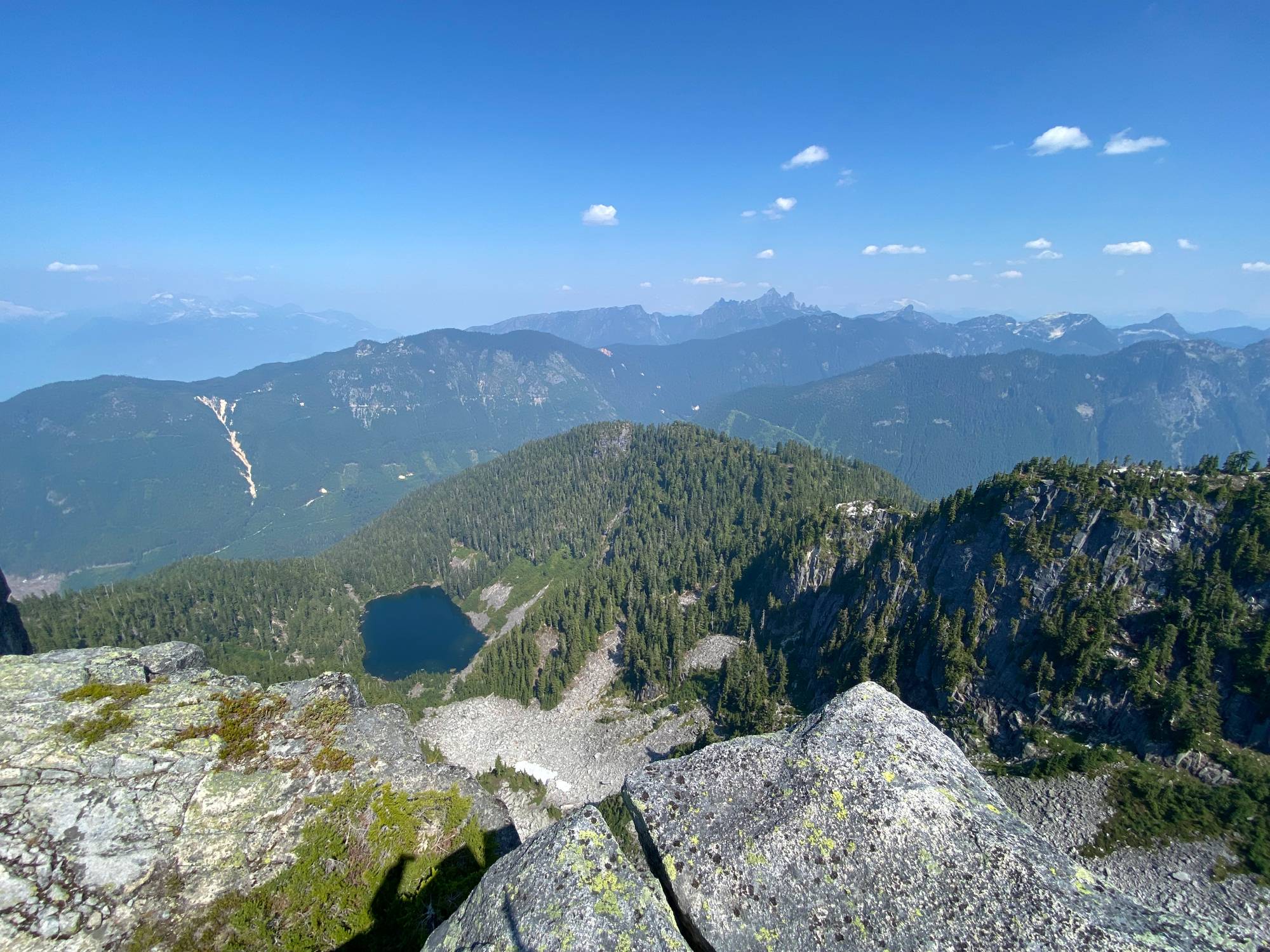
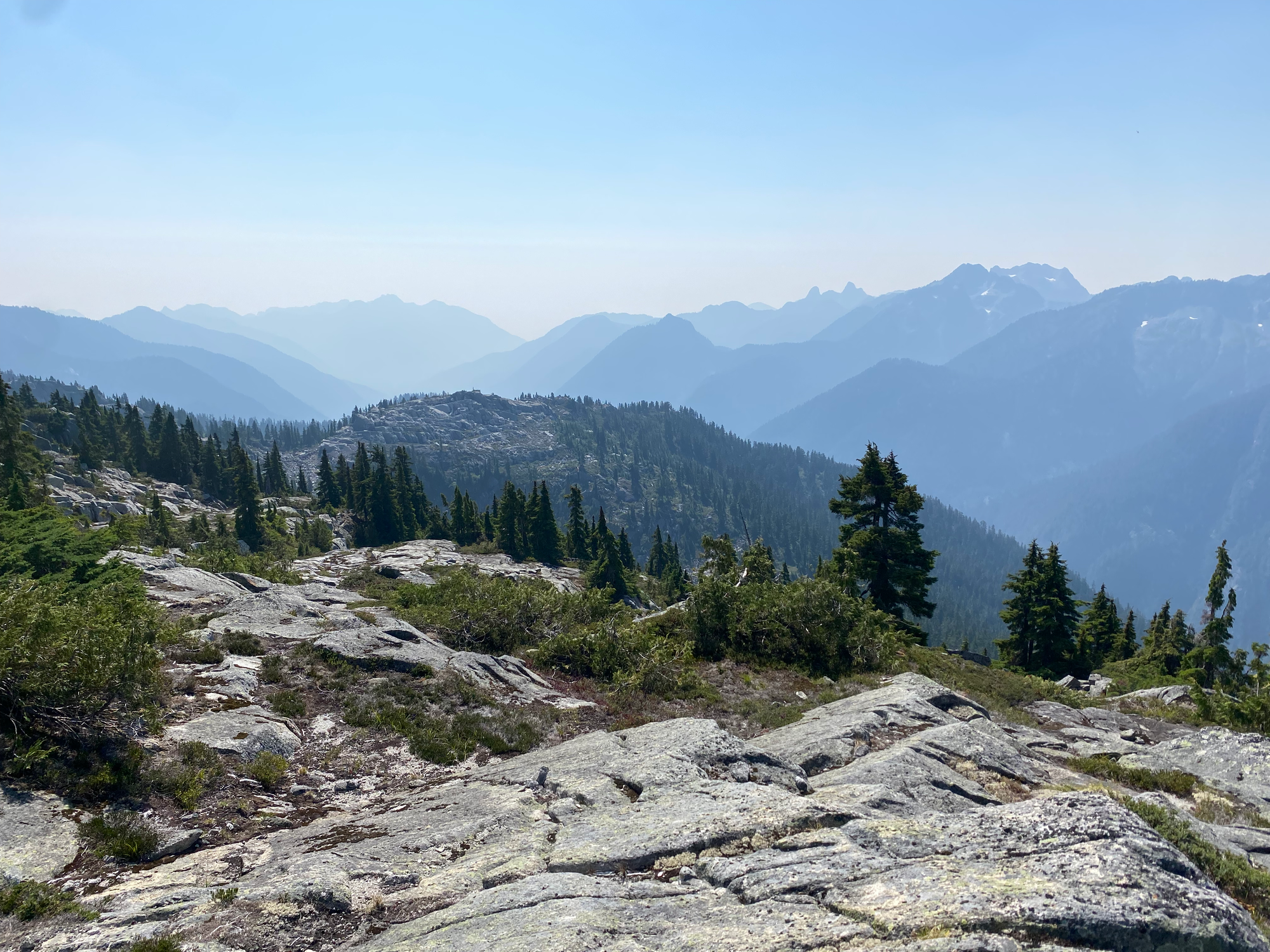
From Beth Peak, I walked down a gentle slope with several tarns then veggie belayed up peak A. The true peak is in a grove of trees. Views are OK.
A veggie belay descent around some cliffs took me to a dry creek bed which acted as a ramp to get me to Gordan Lake.
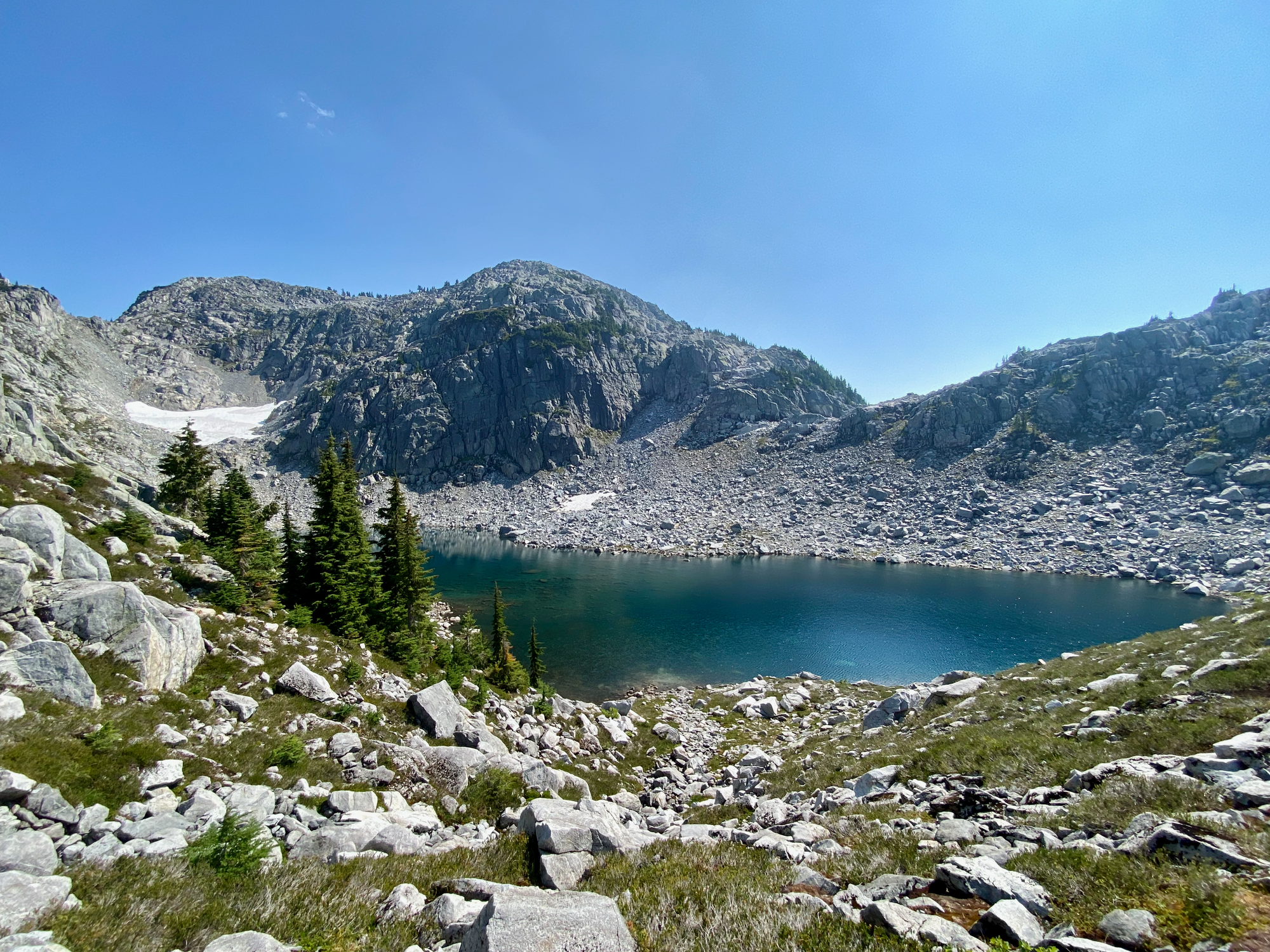
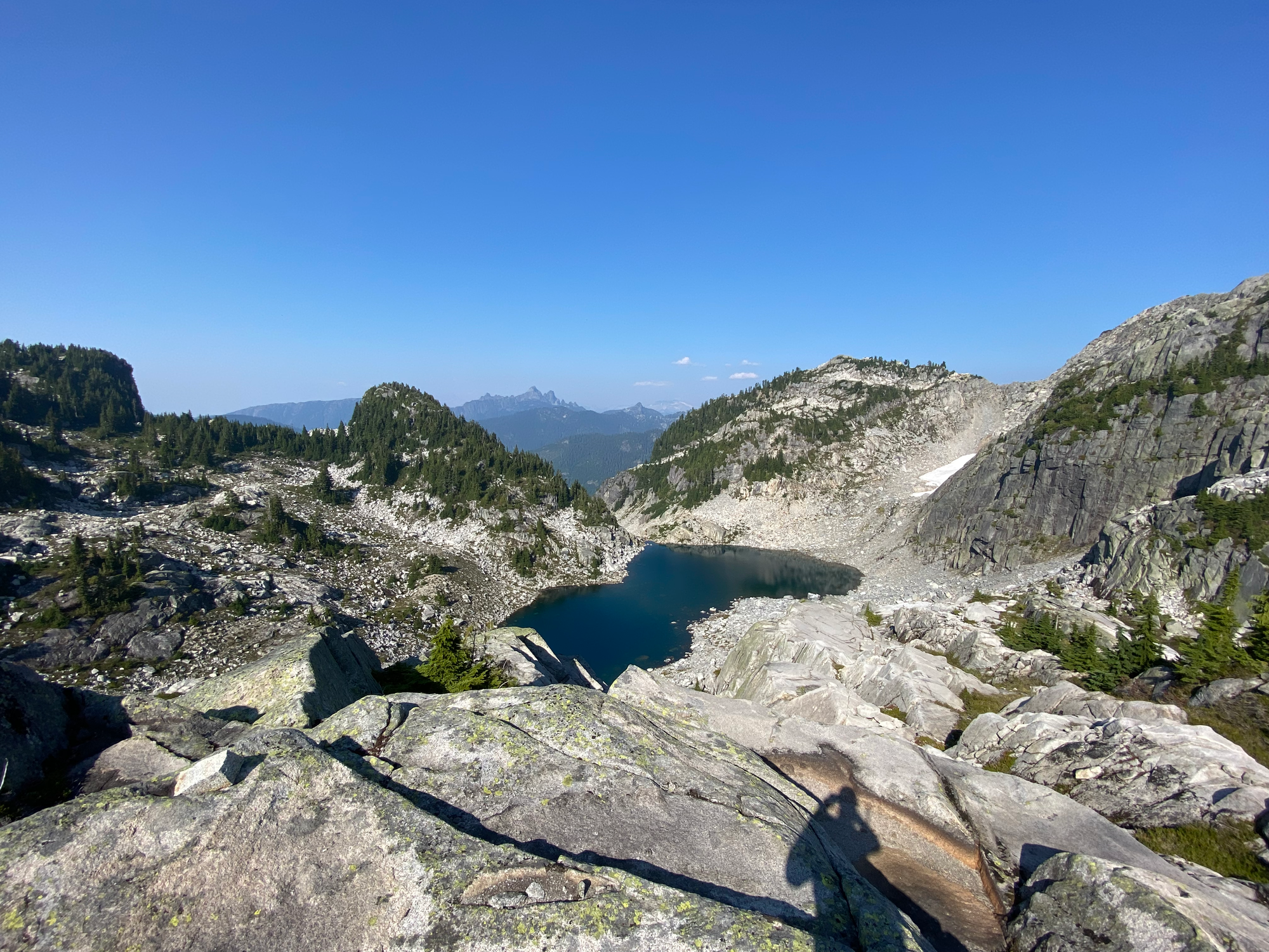
I refilled my water and relaxed for a while, then went up to peak B by following a small creek then scrambling up the side of the valley. There was some snow in the valley but I went nowhere near it. Peak B has a great view of Beth Peak, Peak A, Gordan Lake and the main Mt. Capilano massif - it’s basically Capilano’s Magnesia Peak.
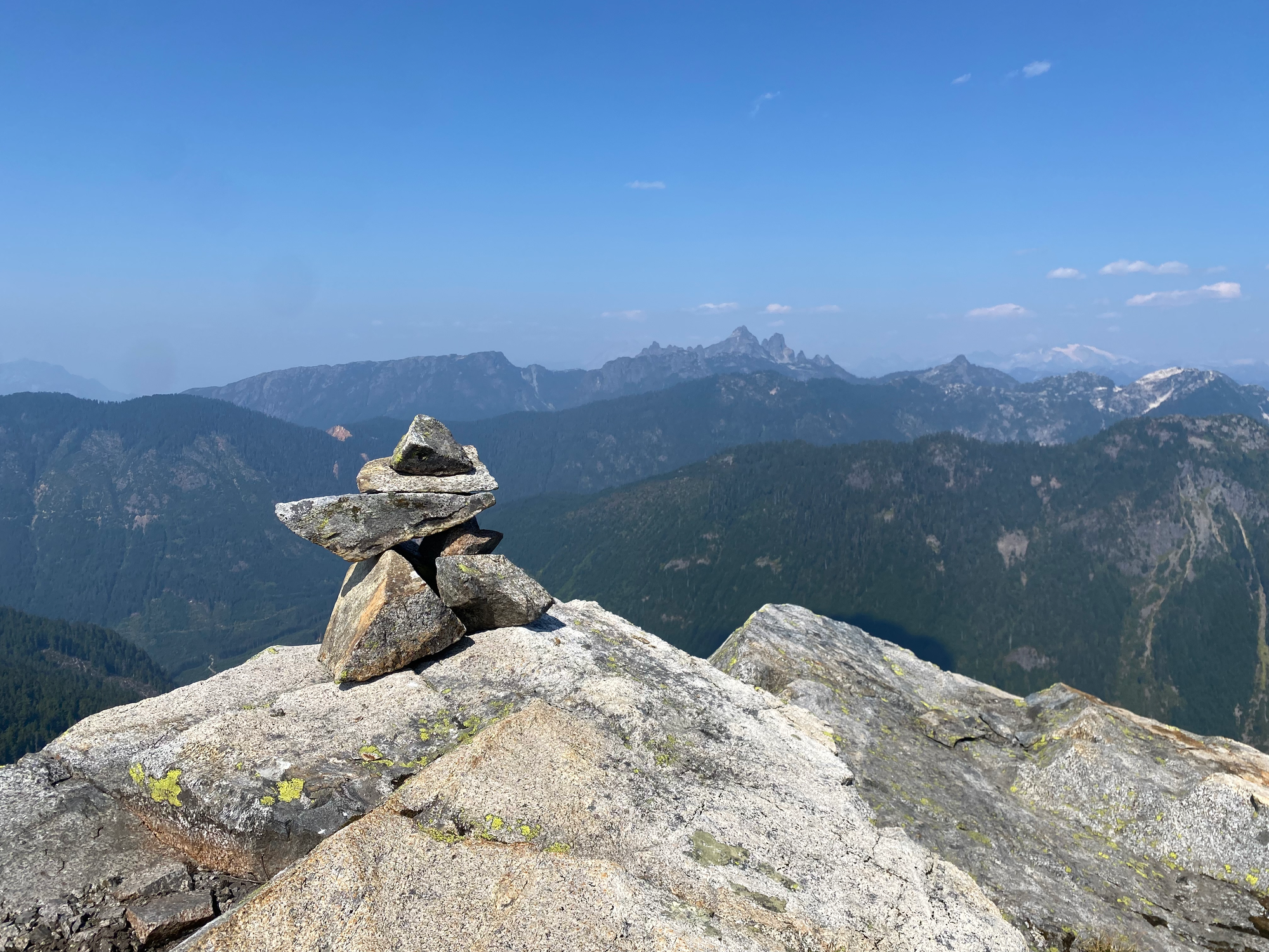
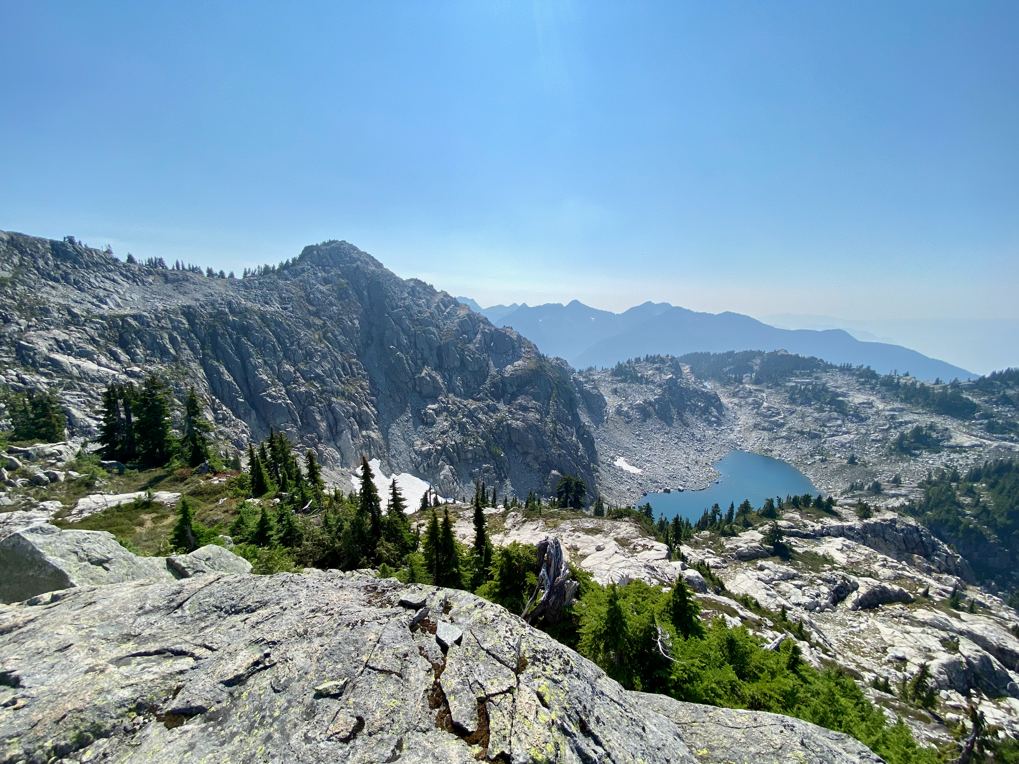
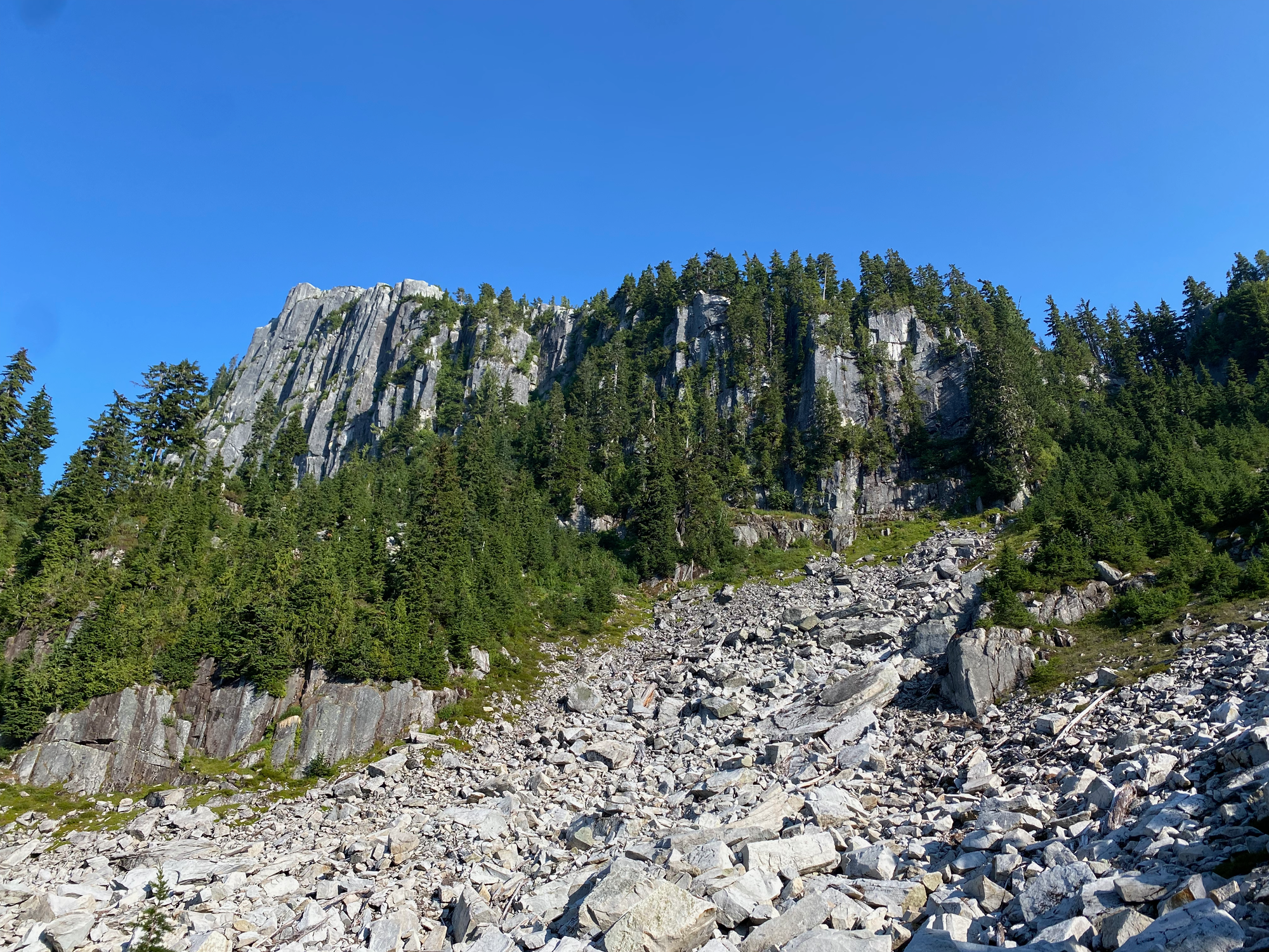
The route to peak C, a Class 2/3 scramble, was the steepest part of the day but ended up being much easier and less exposed than it seemed from the lake. It would be a bit sketchier if snow were present, though. Peak C is basically an extension of the Capilano ridge and has views of Appian/Eastcap to the south. The ridge continues to a couple more bumps that I didn’t visit.
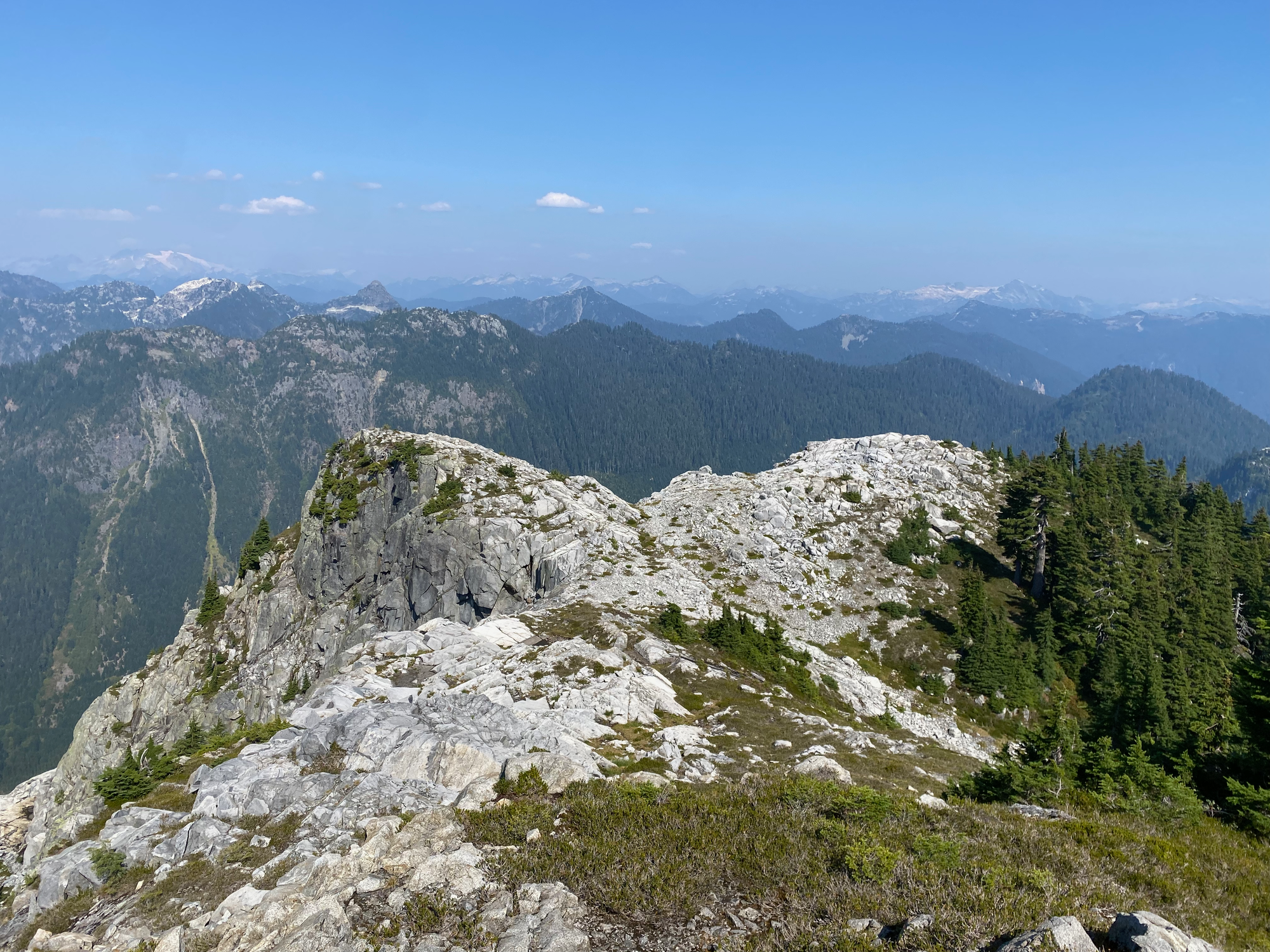
From peak C, it was a short scramble to the main peak, with excellent views in all directions.
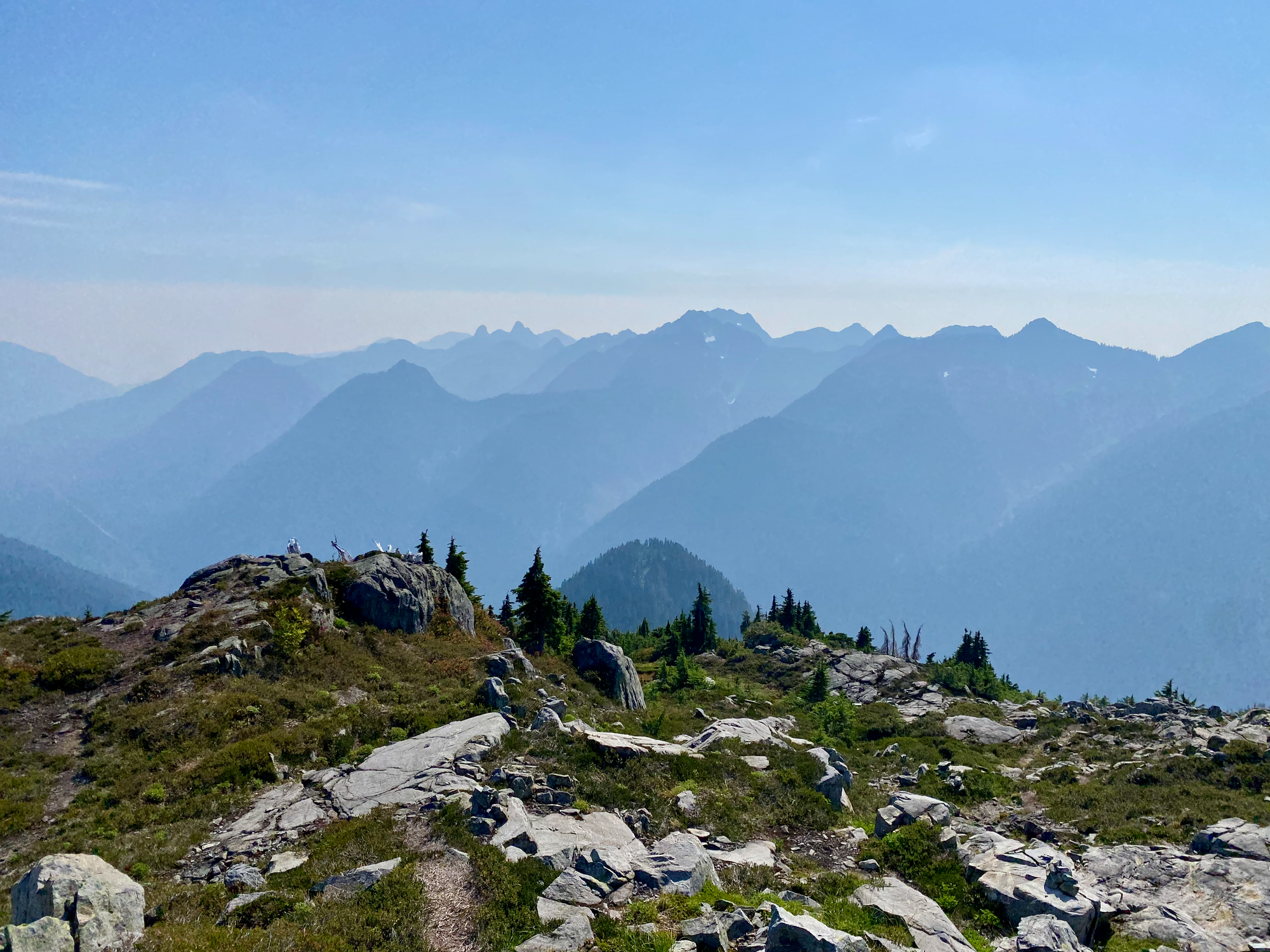
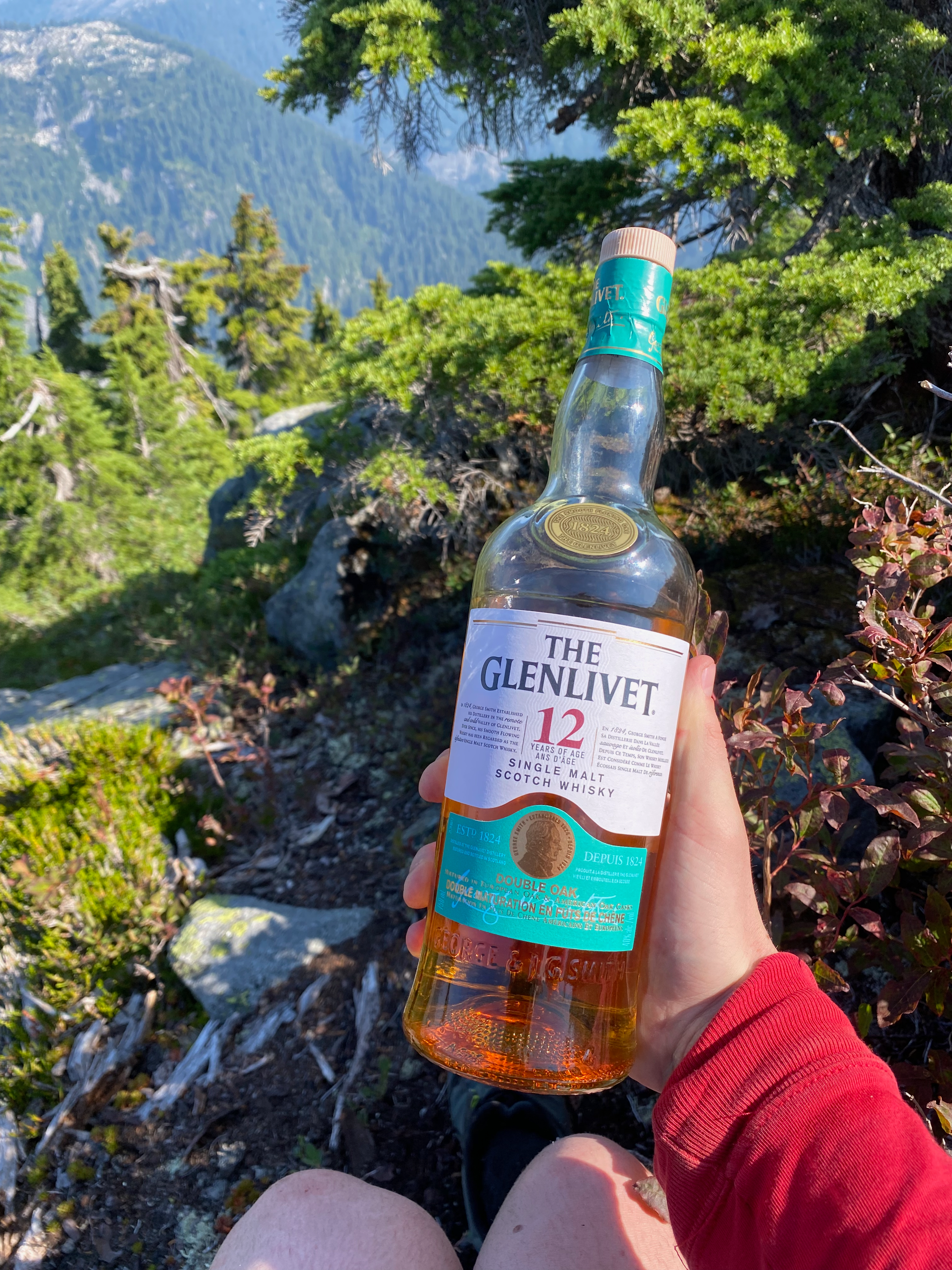
From there I was on a marked trail. To wrap up the adventure, I quickly tagged Gordan Peak and West Cap and enjoyed a very refreshing swim in the tarn near Gordan Peak. The bike made the descent much easier and I cruised to the trailhead just before sunset.
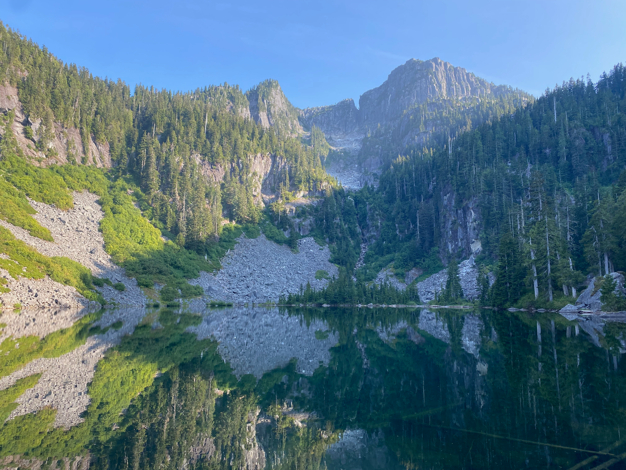
Another great day in the mountains!


Member discussion