Mt. Laughington
November 18, 2023
Distance: 21.56 km
Elevation Gain: 1537 m
GPS:
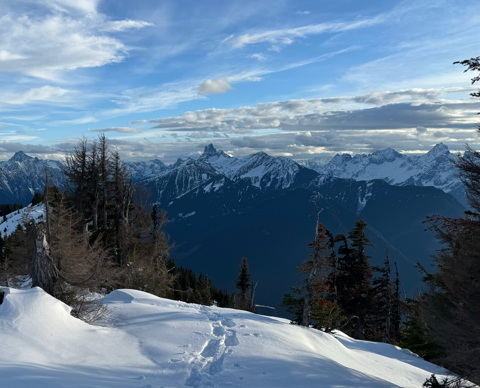
Mt. Laughington in the Chilliwack River Valley is a smaller peak in the shadow of the mighty Cheam Range. Because of its location, it offers front-row-seat views of the Cheam Range, and the views of Mt. Slesse and others to the south are also nice. Like many other Chilliwack peaks, it’s named after a soldier from Chilliwack who lost his life in the Second World War: Harry Laughington (1924-1944).
Dad and I drove up Chilliwack Lake Road to the Foley Creek FSR. The road was OK at first, but then we drove right at a T-junction and had to navigate through some absolutely massive potholes. You could probably swim this section if you wanted to.
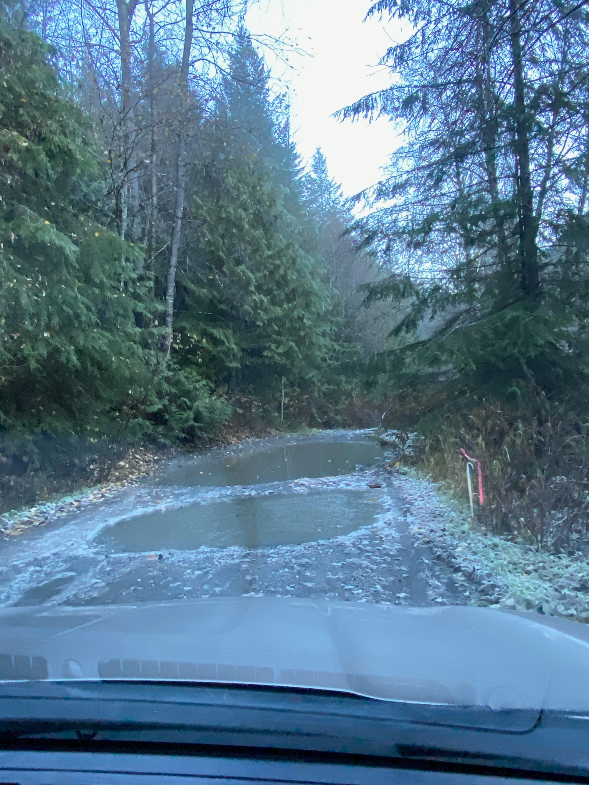
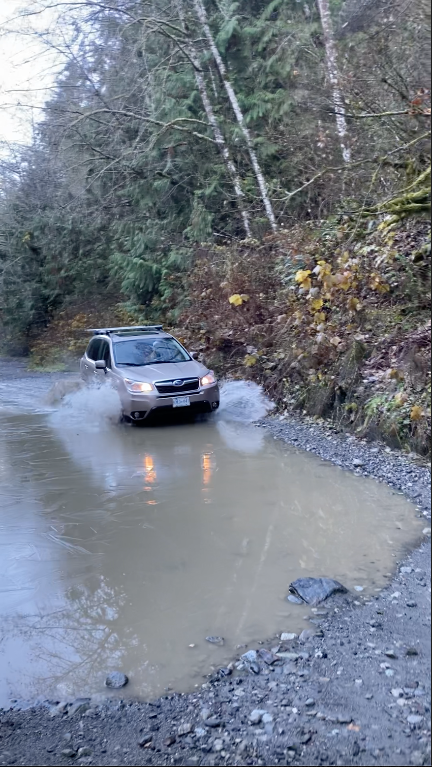
At one point the road seemed to be washed out, but there was a bypass to the left that the Subaru was able to negotiate. Then we branched off onto the Airplane Creek FSR, which immediately sent us up an extremely steep slope before switchbacking up the mountainside. We parked around the 580m mark, where there was a massive cross ditch. Apparently some intrepid 4WD drivers keep going past that.
The first few kilometres were uneventful as we plodded up the logging road as it switchbacked. In hindsight a bike would have been useful. Snow started at 1100m so we put our snowshoes on.
Around 1170m the trail left the Airplane Creek FSR and headed southwest along another FSR. This FSR used to be a rough slog through alders but luckily, a group had cleared most of them a couple years ago. There was one short alder-choked section left.
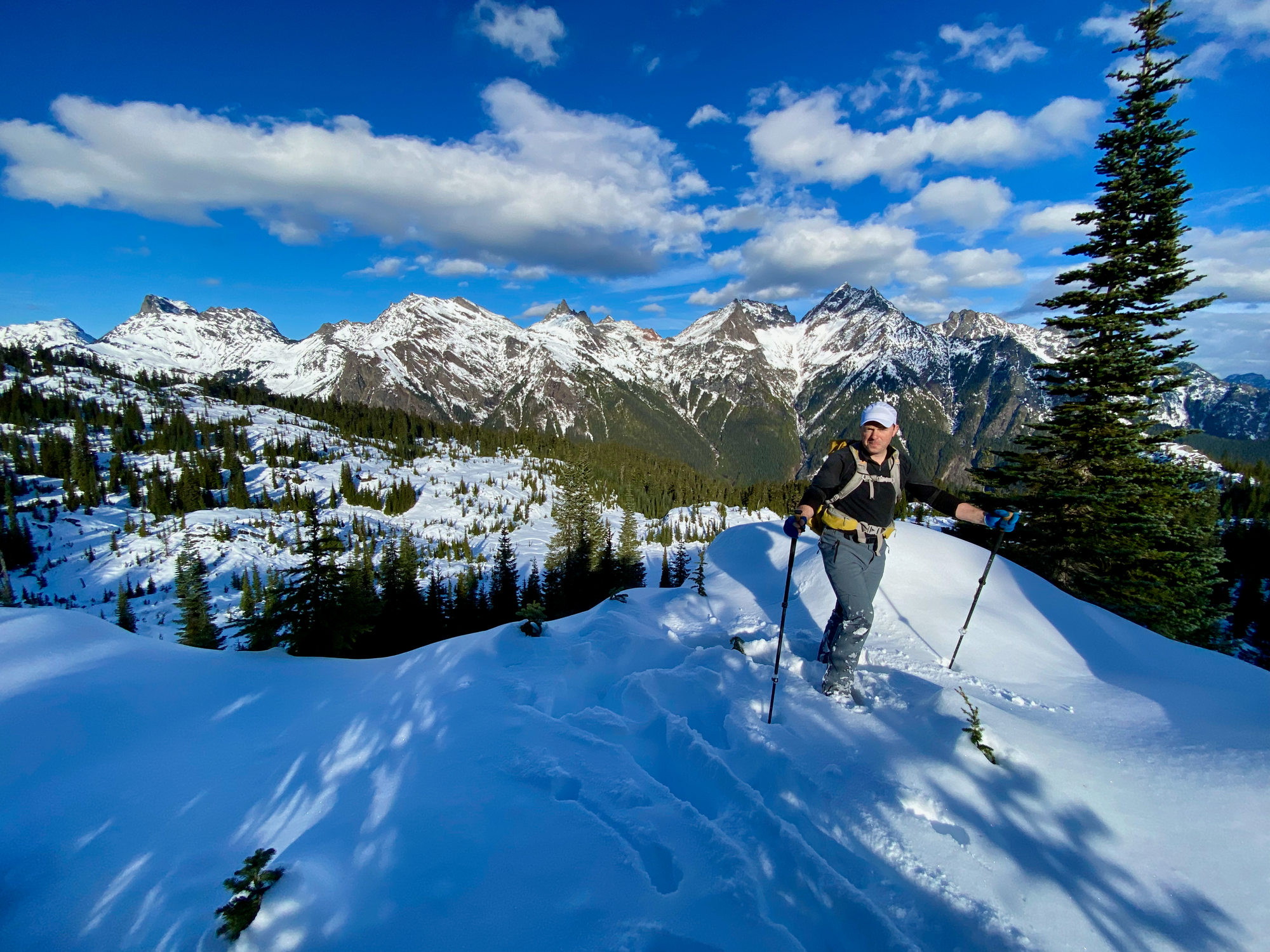
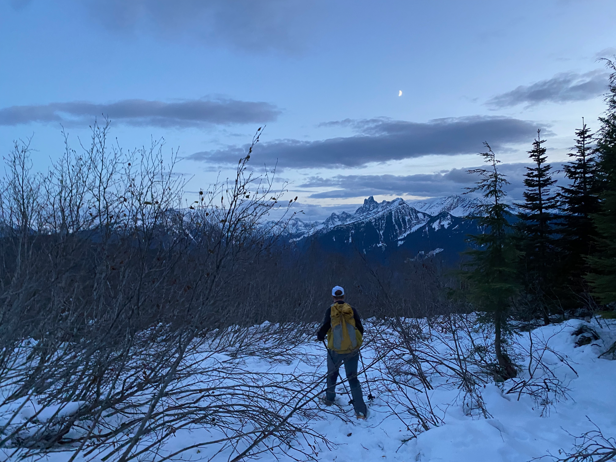
Eventually the trail left the FSR, but it was still very well-marked from there. We stayed on the ridge, hiking over many minor bumps and enjoying several viewpoints of the Cheam range and Slesse.
At one point we heard several gunshots in the valley! We hope it was a hunter. It occurred to us that Mt. Laughington is directly above the Ford Mountain Correctional Centre.
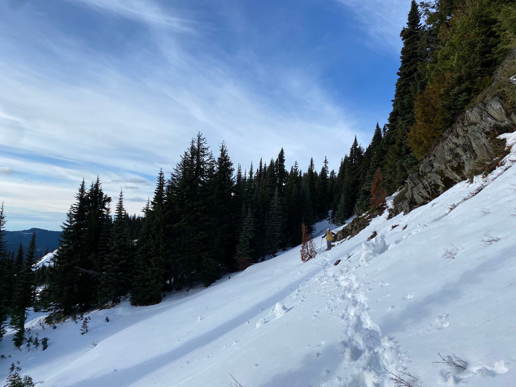
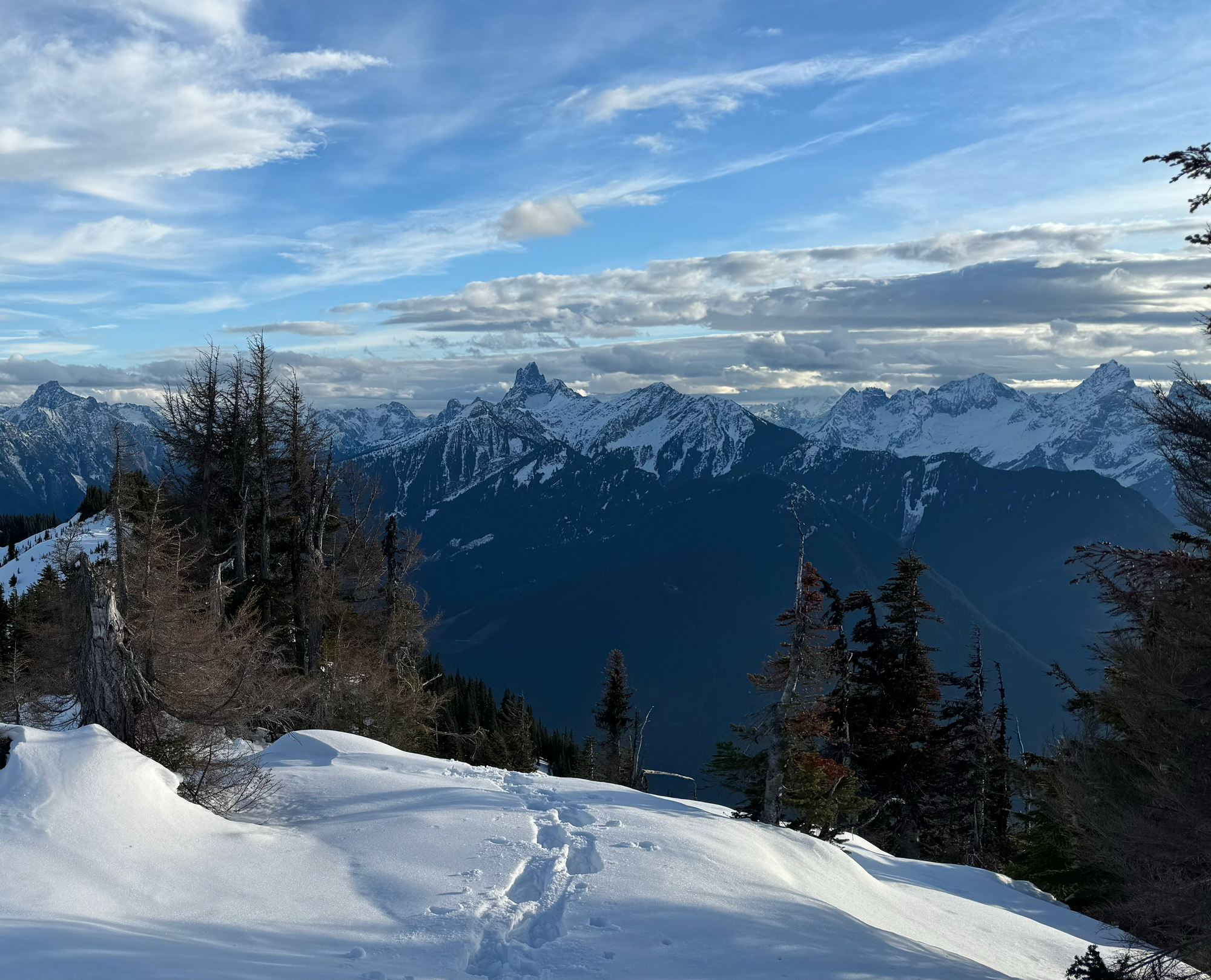
The ridge took longer than expected but the summit was rewarding.
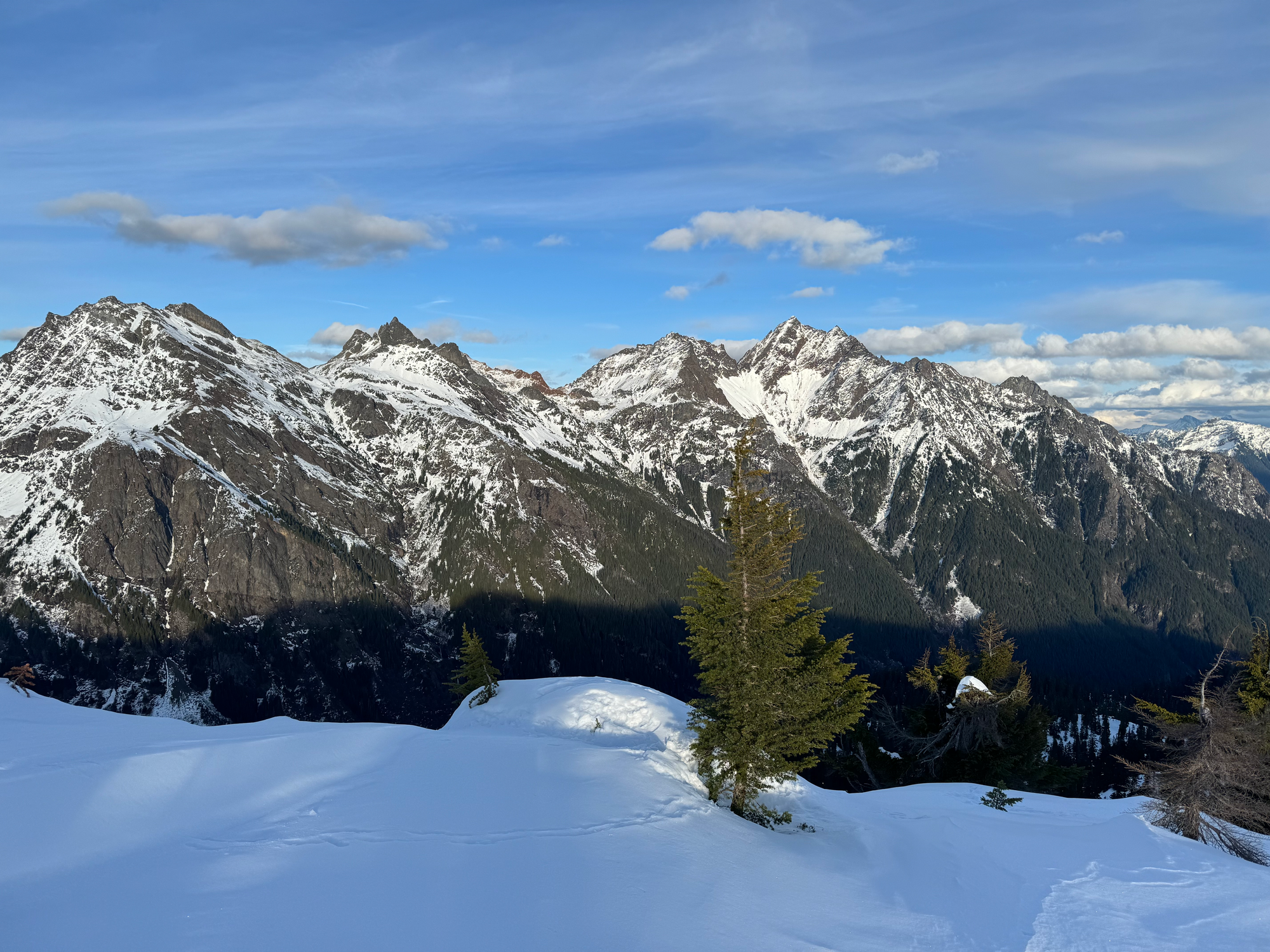
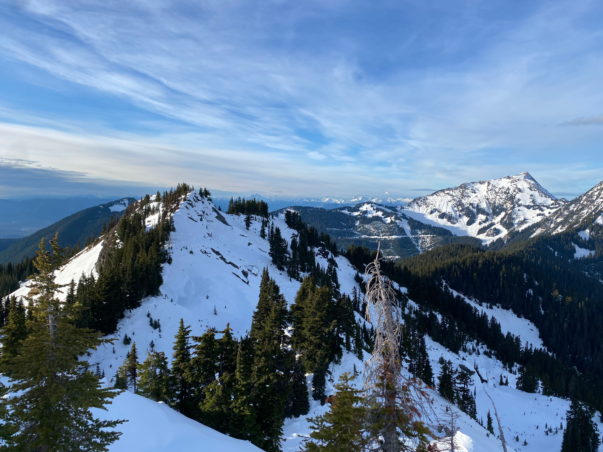
The sun set as we passed the alders. After a long walk on the dark logging road and a sketchy drive through the craters, we were on our way home.


Member discussion