Mount Woodside
Date: November 23, 2024
Distance: 3.95km
Elevation gain: 127m
Mount Woodside is a forested bump to the east of the Harrison River near Harrison Mills. There’s a paragliding launch point halfway up the road to the peak which offers great views of the valley, but the actual summit has very limited views through the trees. Until earlier this year, it was possible to drive almost to the peak, but a spur road was recently deactivated, adding slightly under two kilometres each way. Many people combine this peak with the slightly taller Mount Agassiz, further down the road, but we were running low on gas and didn’t do that.
Dad and I visited Woodside as a side trip after snowshoeing to Cartmell Peak. After a brief stop at the Kilby Farm historic site, we drove a couple kilometres east of Harrison Mills and turned left on the Woodside Mountain FSR. The turnoff was narrow and easy to miss.
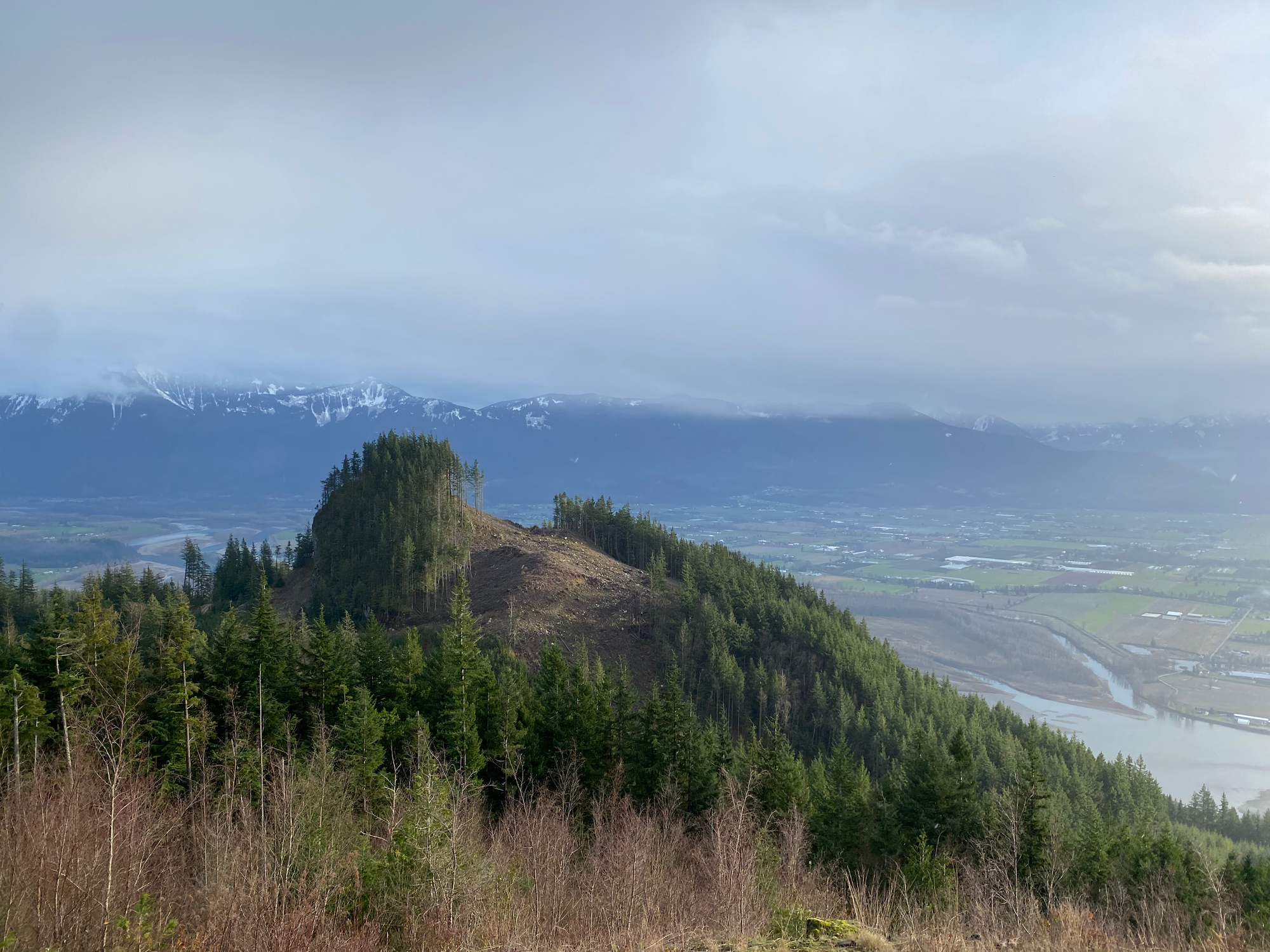
The road switchbacked up the mountain. It was muddy and steep in places, but otherwise not too bad. We passed the Woodside Spire (a climbing crag) and a turnoff to the paragliding launch. There were some good views through the clearcuts, which were better than anything on the actual summit.
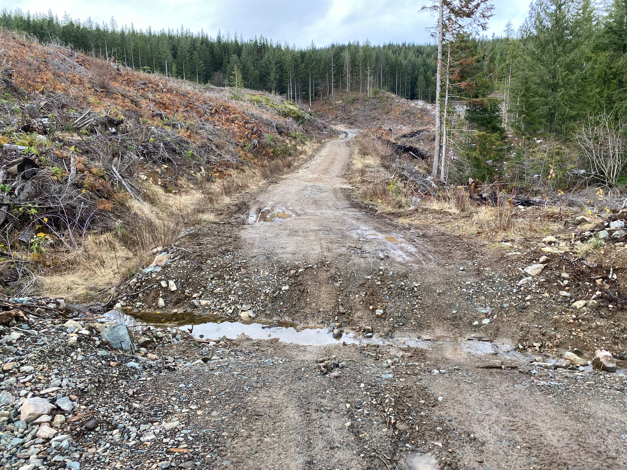
The spur to Woodside branches off at about 780 m elevation. A series of very large ditches had been excavated along the first few hundred metres, blocking any vehicle except very high clearance trucks or ATVs, so we started walking here.
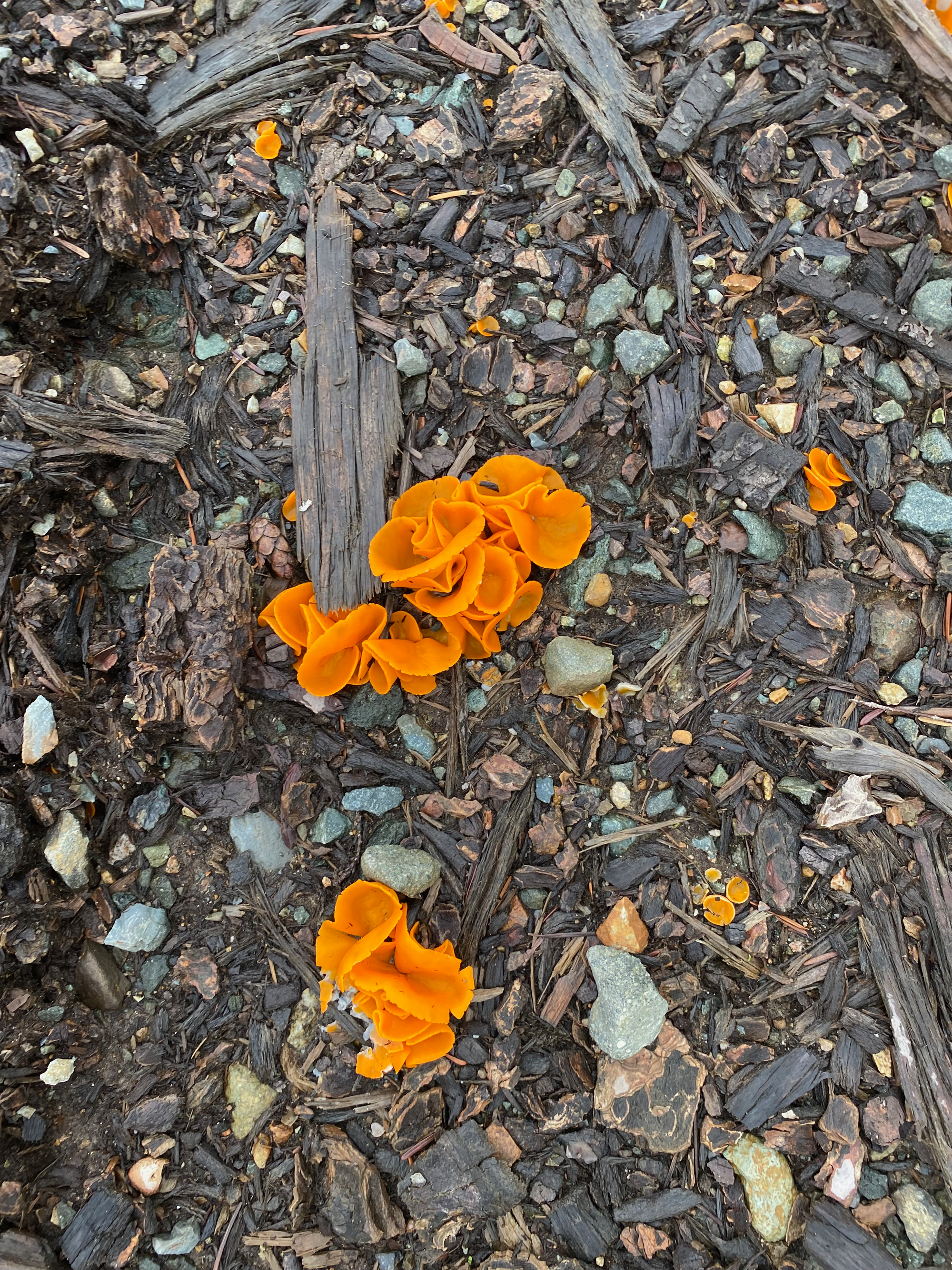
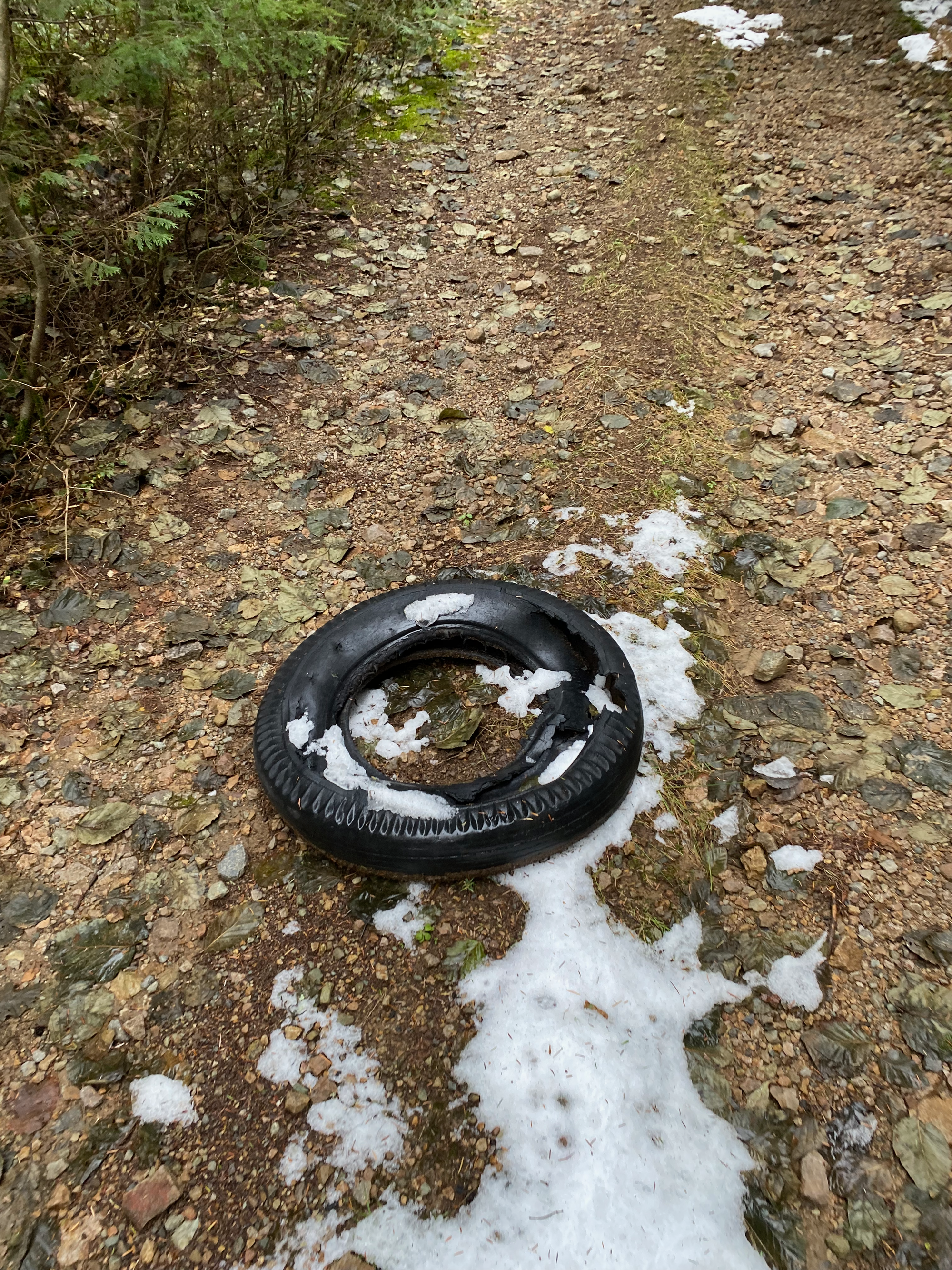
There isn’t much to say about the walk. For some reason, two destroyed tires were lying in the middle of the road about halfway up. The road ends at a radio tower.
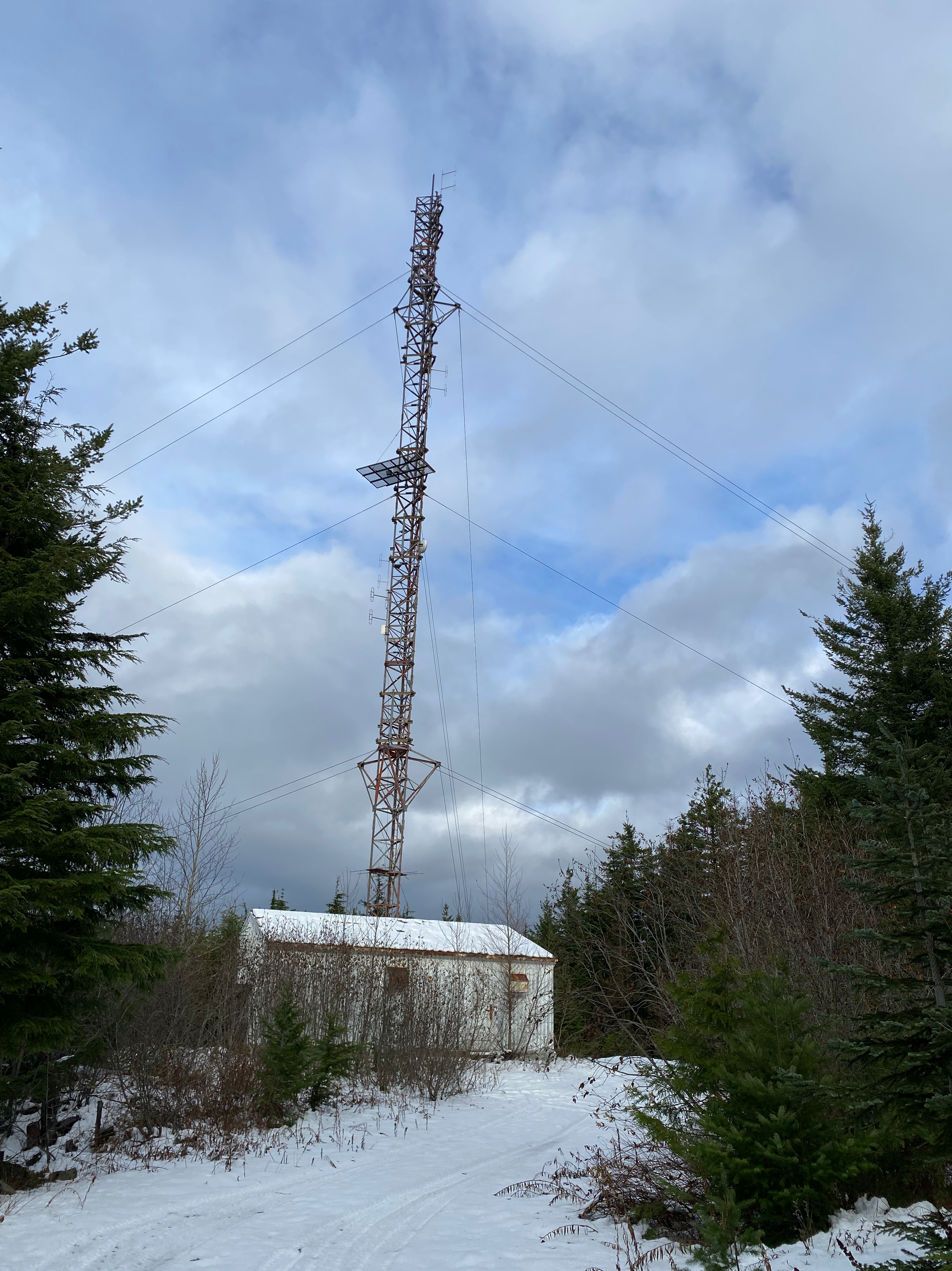
There are several bumps in this area, and there’s some debate about which one is the highest, but the current consensus is that a bump to the northwest of the tower (the summit marked on Peakbagger) is higher. It is also the only place in the area with any views. We headed northwest into the woods then came across a very faint trail probably made by other peakbaggers.
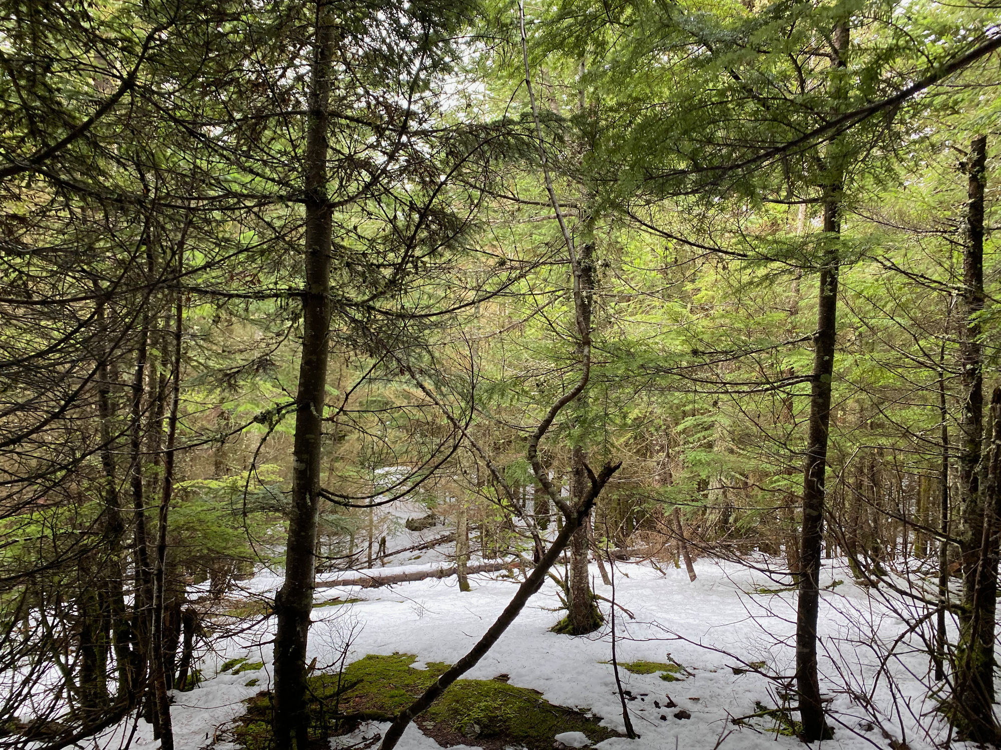
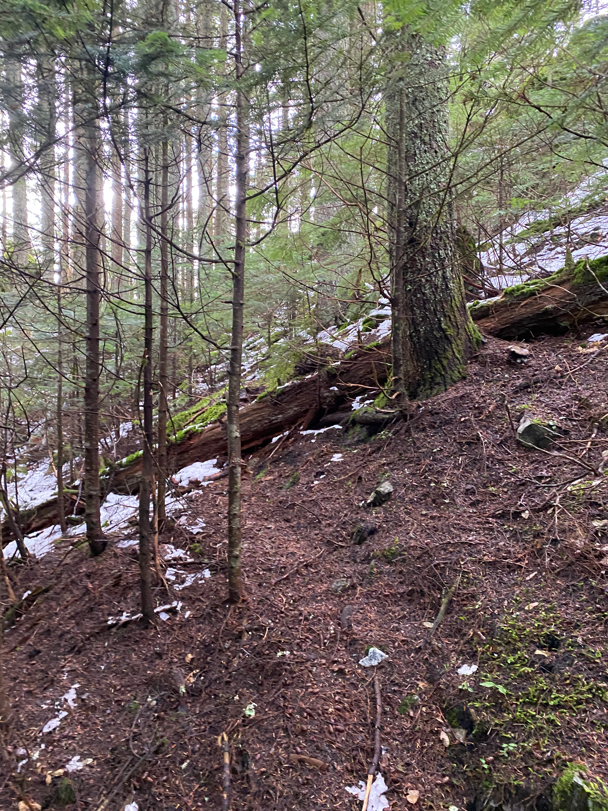
This led up a rocky outcrop to a local maximum with another radio tower. There were extremely limited views of the Harrison River to the west.
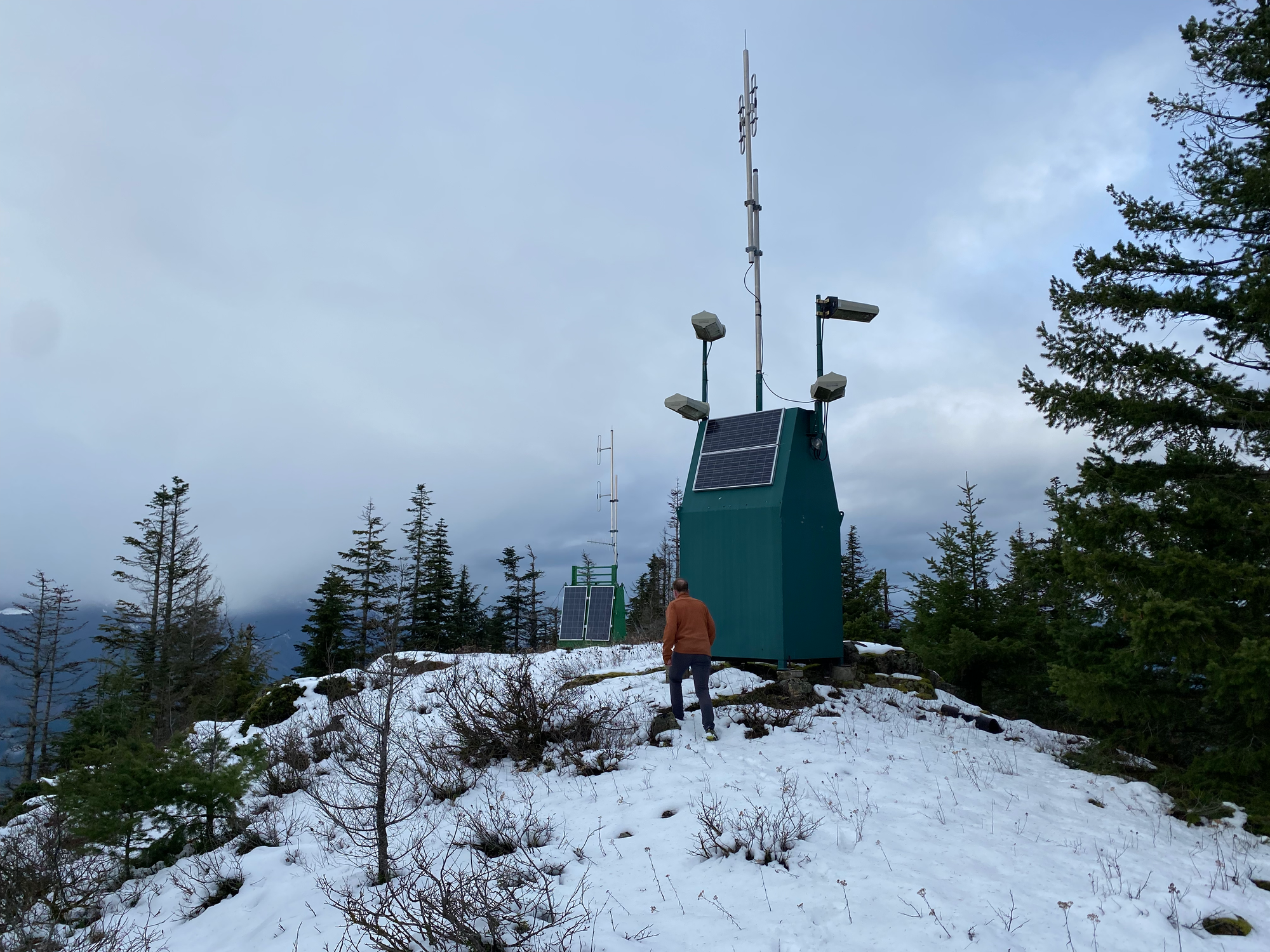
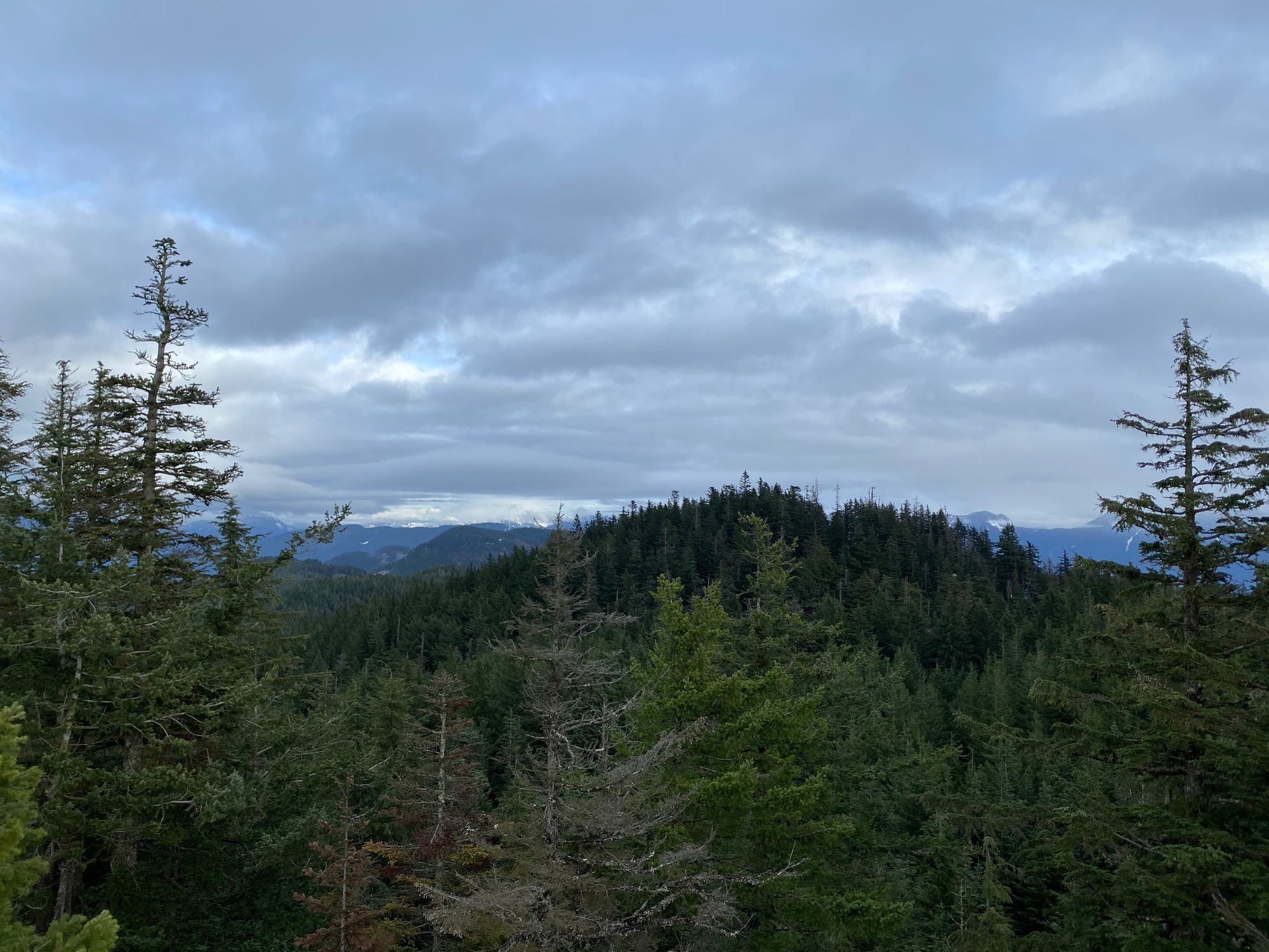
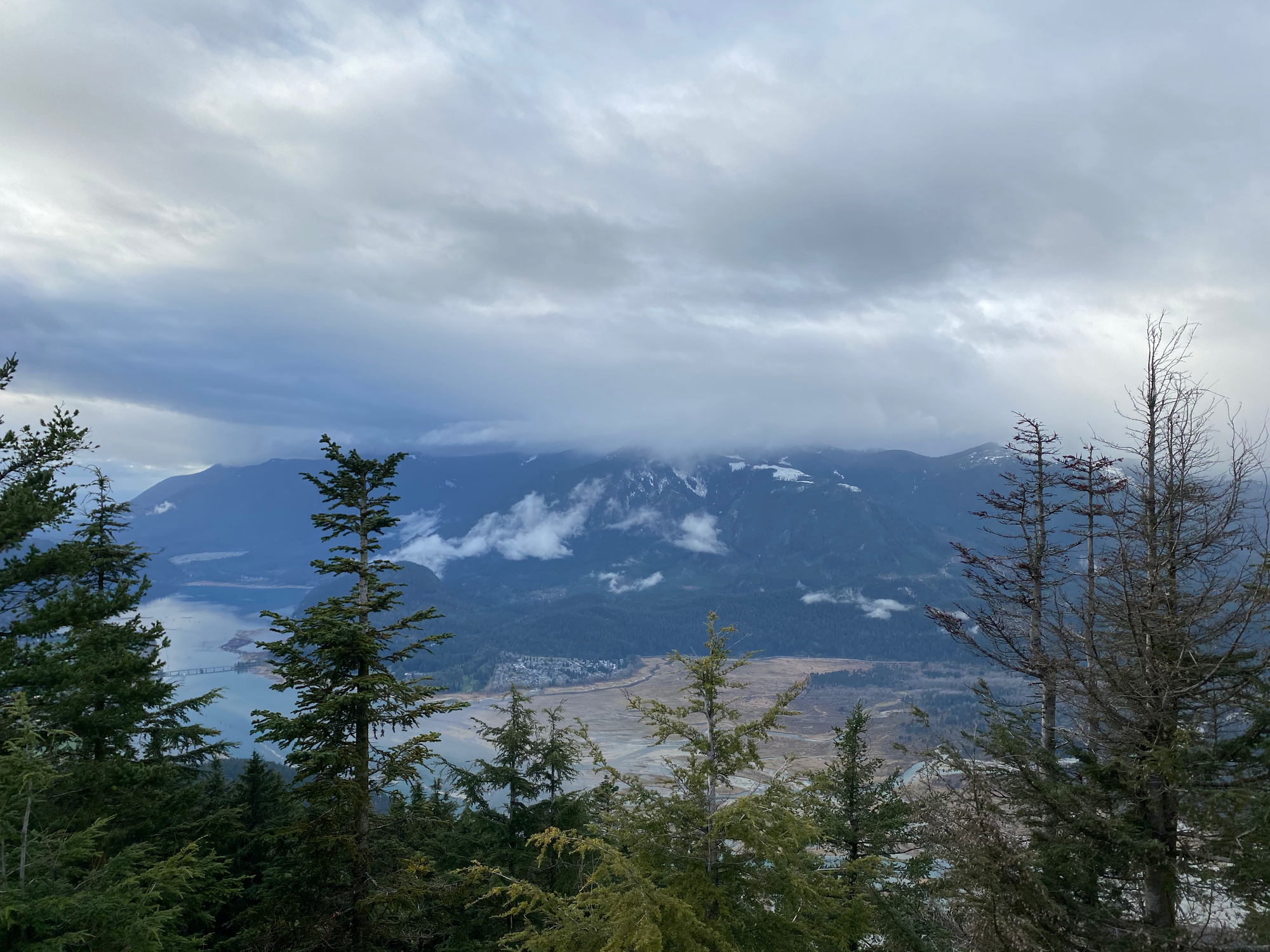
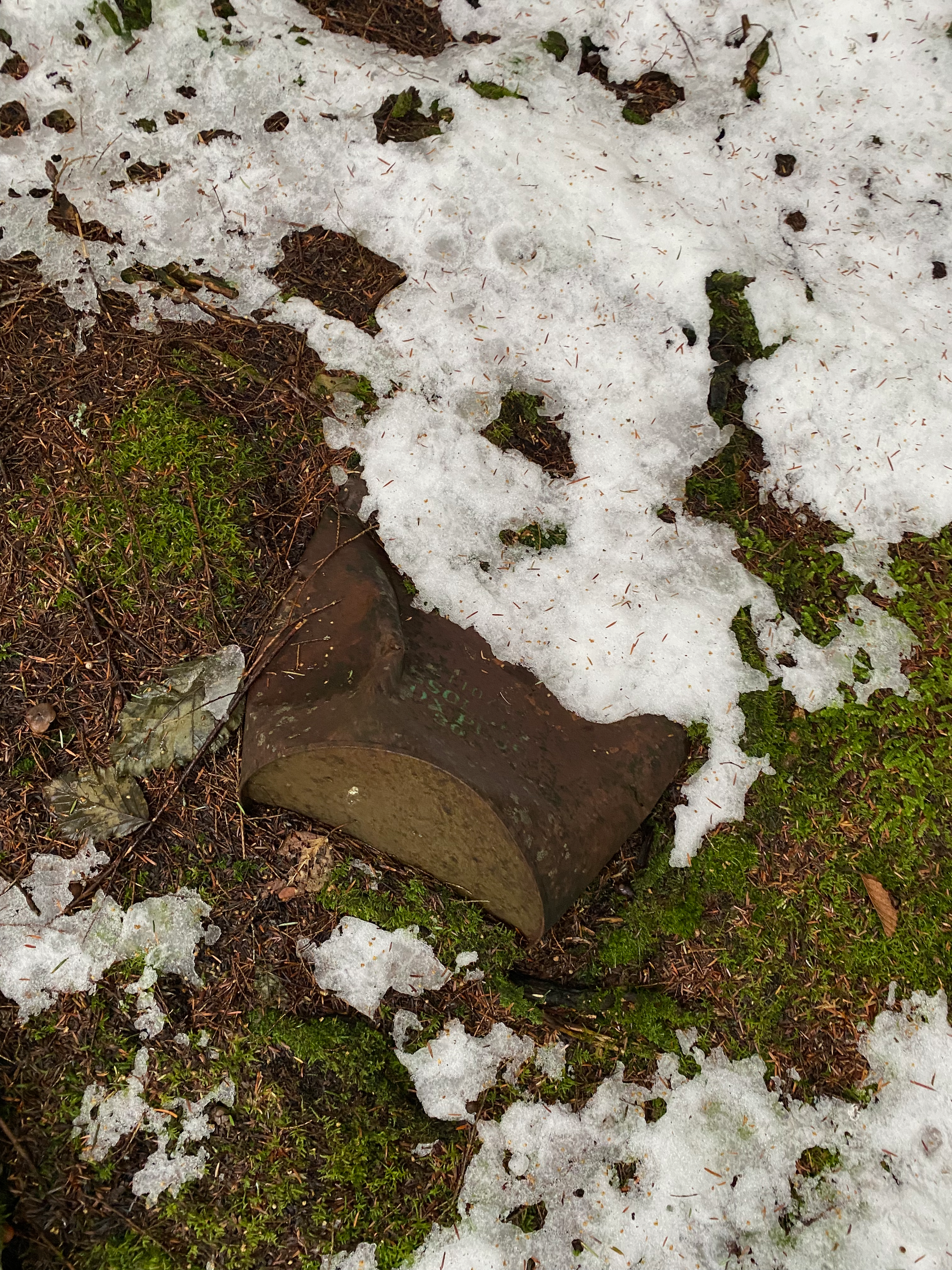
There wasn’t much to do here so we returned to the road and soon made it back to the car. As we walked through the last cutblock, it started raining.
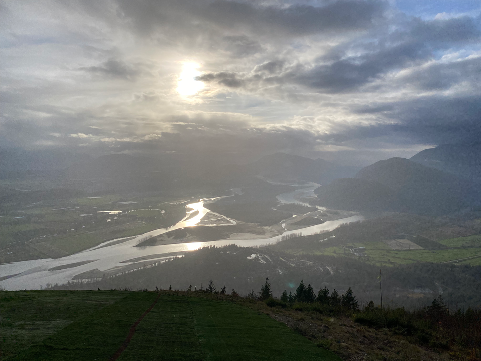
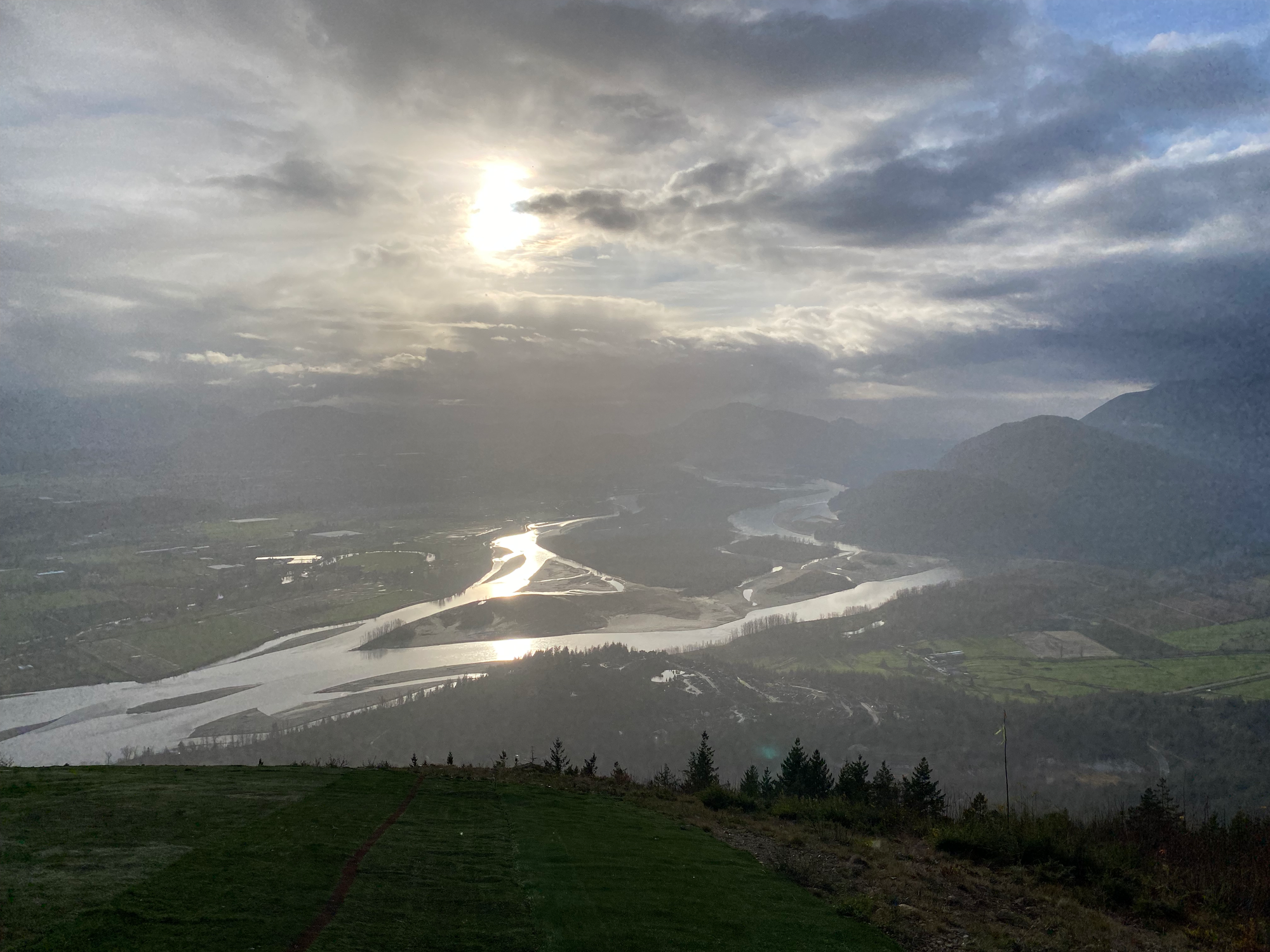
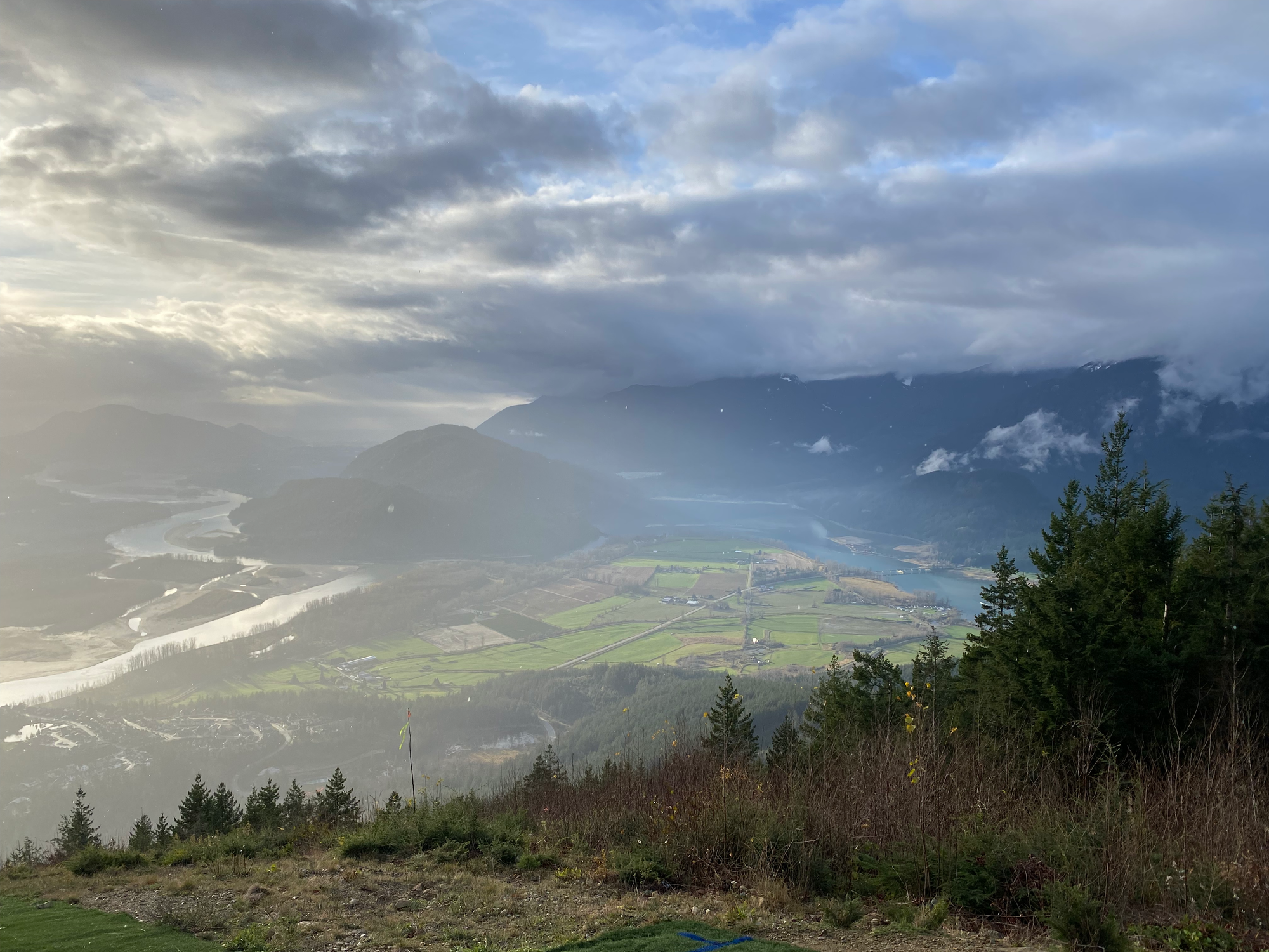
On the way down we stopped at the paragliding launch site. As expected, it had the best views of the day, with a 180 degree panorama of the Harrison River and Fraser Valley. The rain resumed so we didn’t stay for long.


Member discussion