Mount Washington (Ammonoosuc Ravine, Jewell Trail)
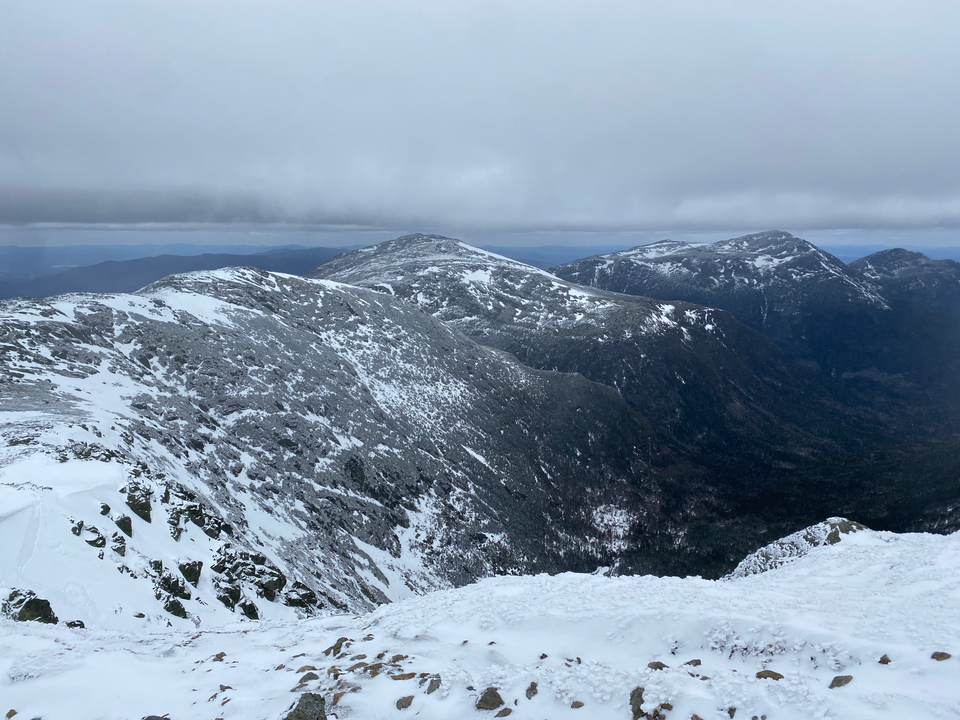
Date: April 21, 2024
Distance: 14.2 km
Elevation gain: 1035m
At 1917 metres, Mount Washington is the highest mountain in northeastern North America. It’s known for its extreme weather, being located at the convergence of several weather patterns. For a long time it held the world record for the fastest measured wind speed, at a mind-blowing 372 km/hr. Although a road and a railway lead to the summit in the summer, the weather makes this peak one of the most dangerous in the country. We went on a relatively calm day in April (“only” 40 km/hr winds), but it was still very much winter up there, and hikers should be prepared for extreme temperatures.
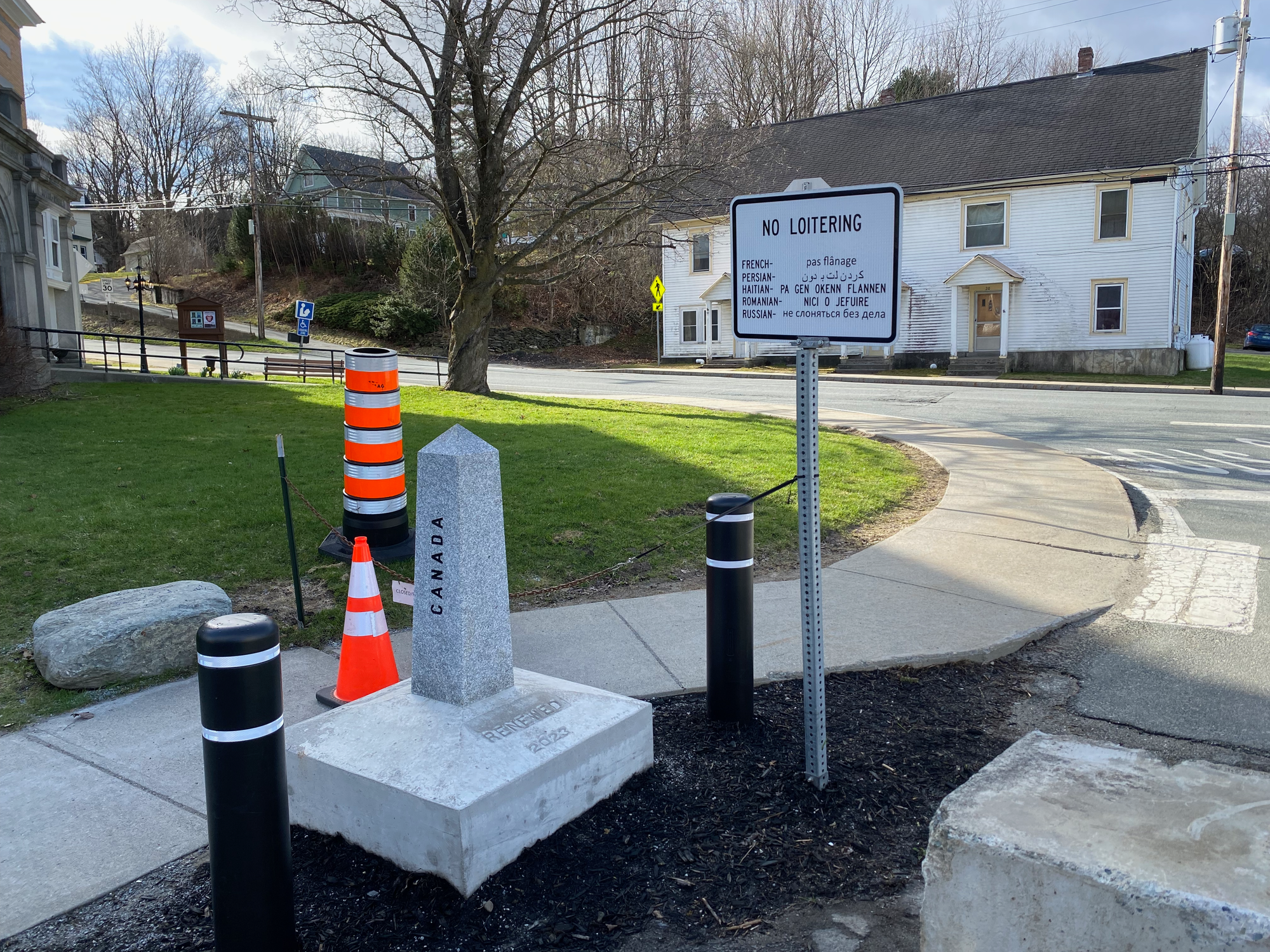
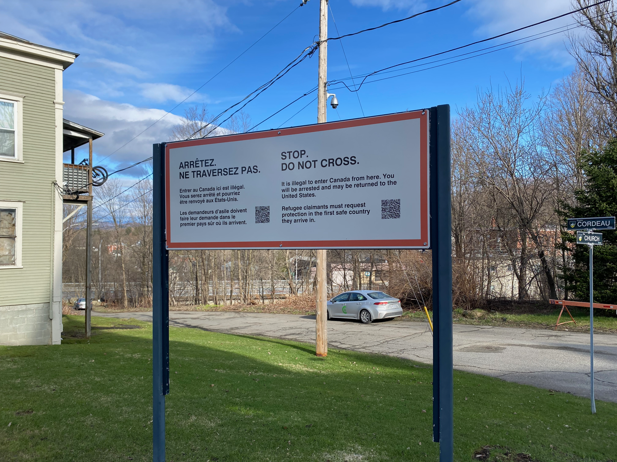
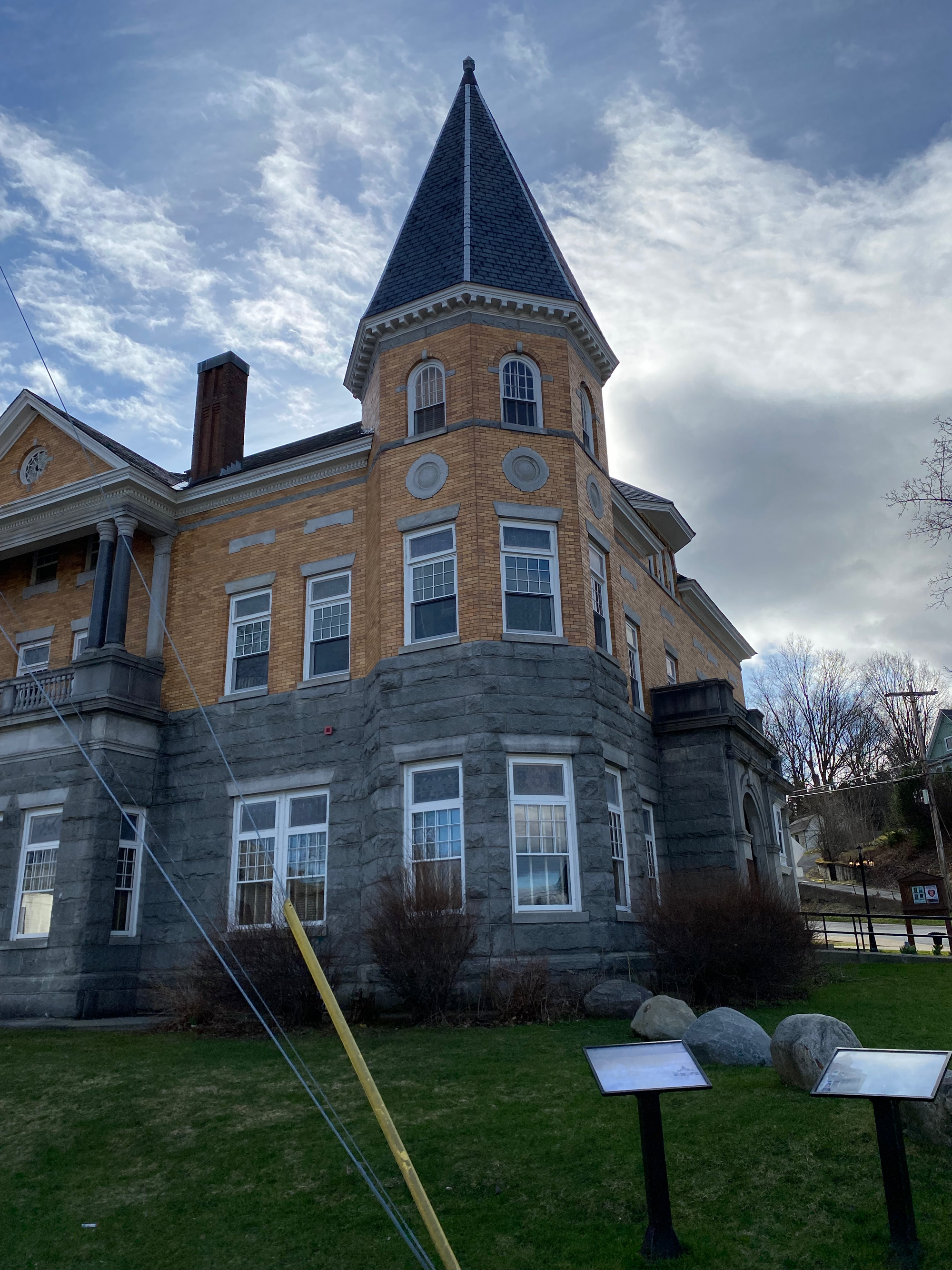
The mountain is over three hours from Montreal so we left early. Along the way we stopped in the town of Stanstead, Quebec, effectively the same town as Derby Line, Vermont, separated by the border. It reminded me of Point Roberts, Washington, another border anomaly. Posts mark the border, roads are blocked off, and signs warn against loitering. Running errands must be extremely annoying. We visited the Haskell Opera House and Free Library, located directly on the border. The entrance is on the American side; apparently you’re allowed to cross the border to access the building, but Border Patrol watches the sidewalk closely. Unfortunately the library was closed.
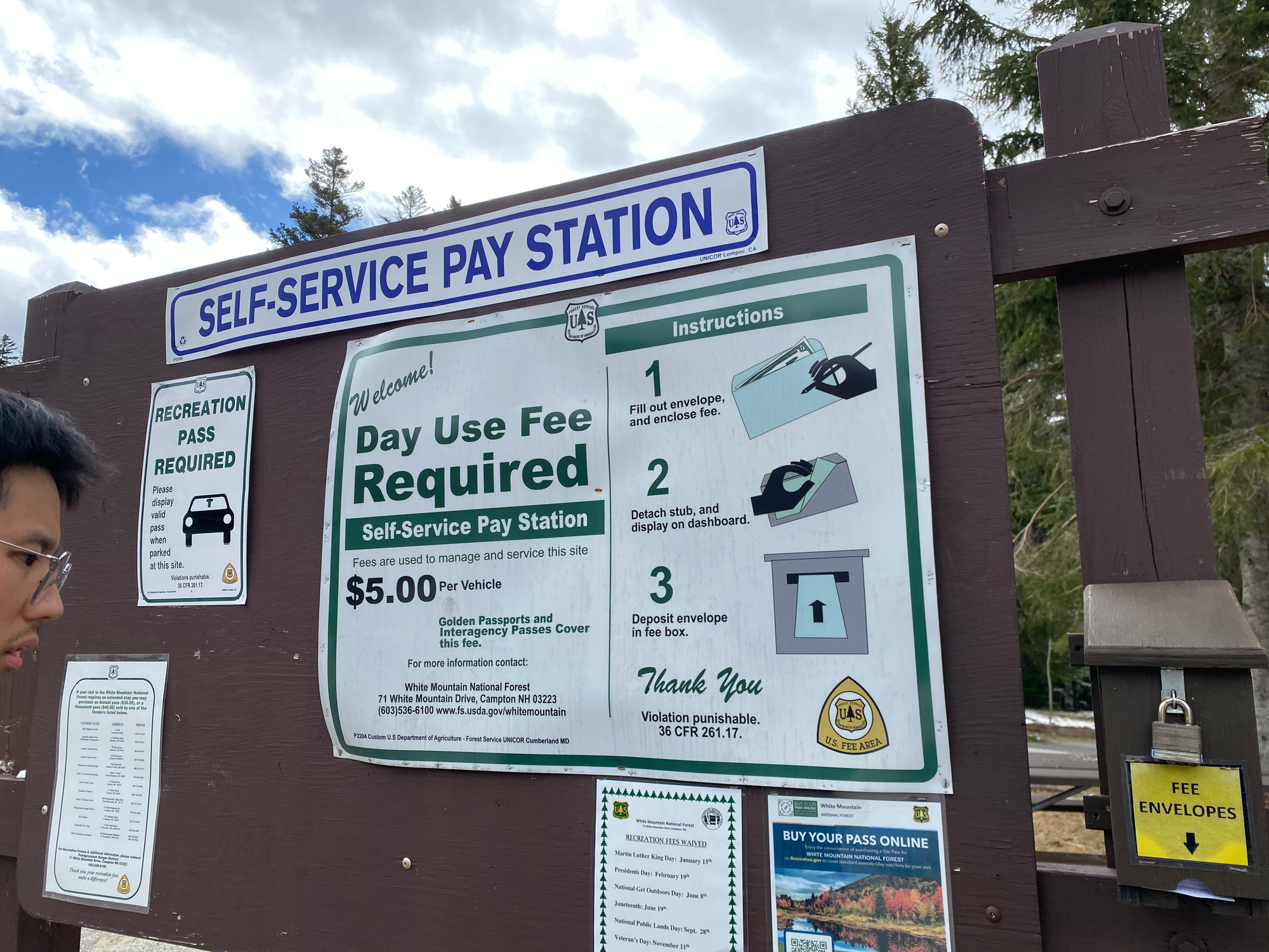
After crossing the border (legally), we drove for a couple more hours to reach the trailhead. We decided to take the Ammonoosuc Ravine Trail up and the Jewell Trail down. Both of these trails climb the mountain from its west side. We had heard that parking on that side was $10 USD per person at the railway base station’s parking lot, so we brought lots of $10 USD bills, but there’s actually a cheaper parking lot about 1km down the road operated by White Mountain National Forest, where parking is $5/vehicle, payable there. We only had $10 bills so we ended up leaving them a generous tip. Bring a pen to write your details on the envelope.
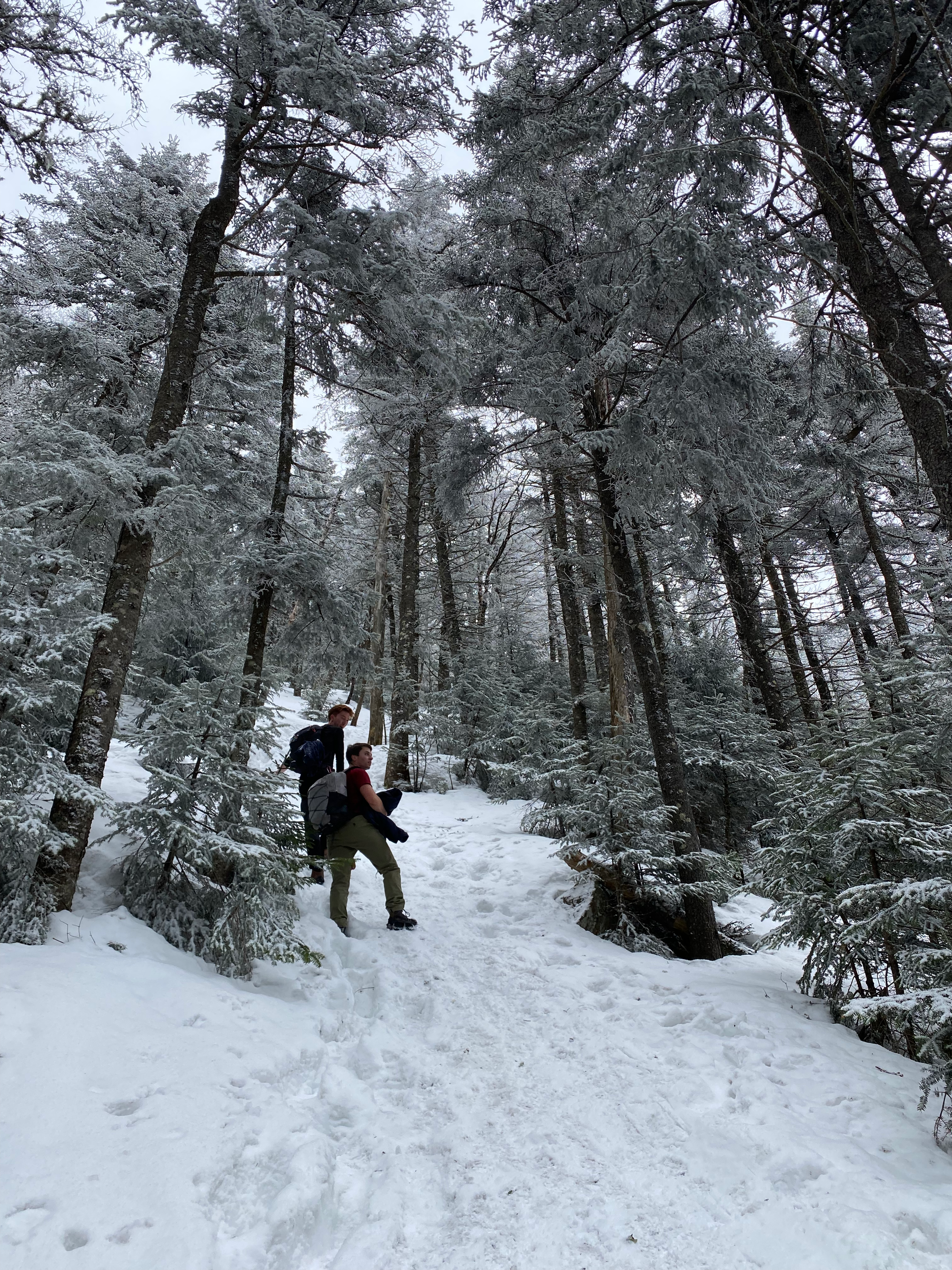
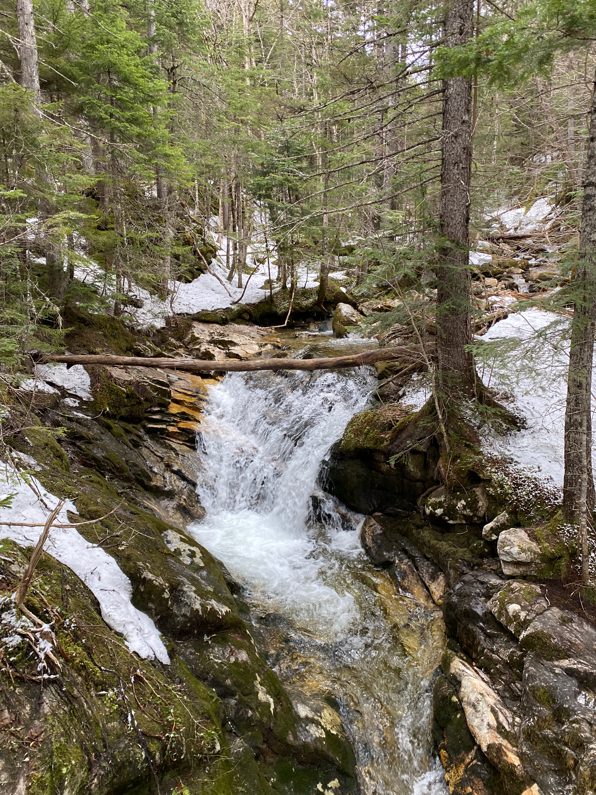
The mossy forest and surprisingly rugged mountains reminded me of BC. Snow began immediately after leaving the parking lot so we strapped on our spikes. The Ammonoosuc Ravine trail follows the creek through the ravine past several waterfalls, then climbs very steeply to the Lake of the Clouds Hut. This section was a tedious grind.
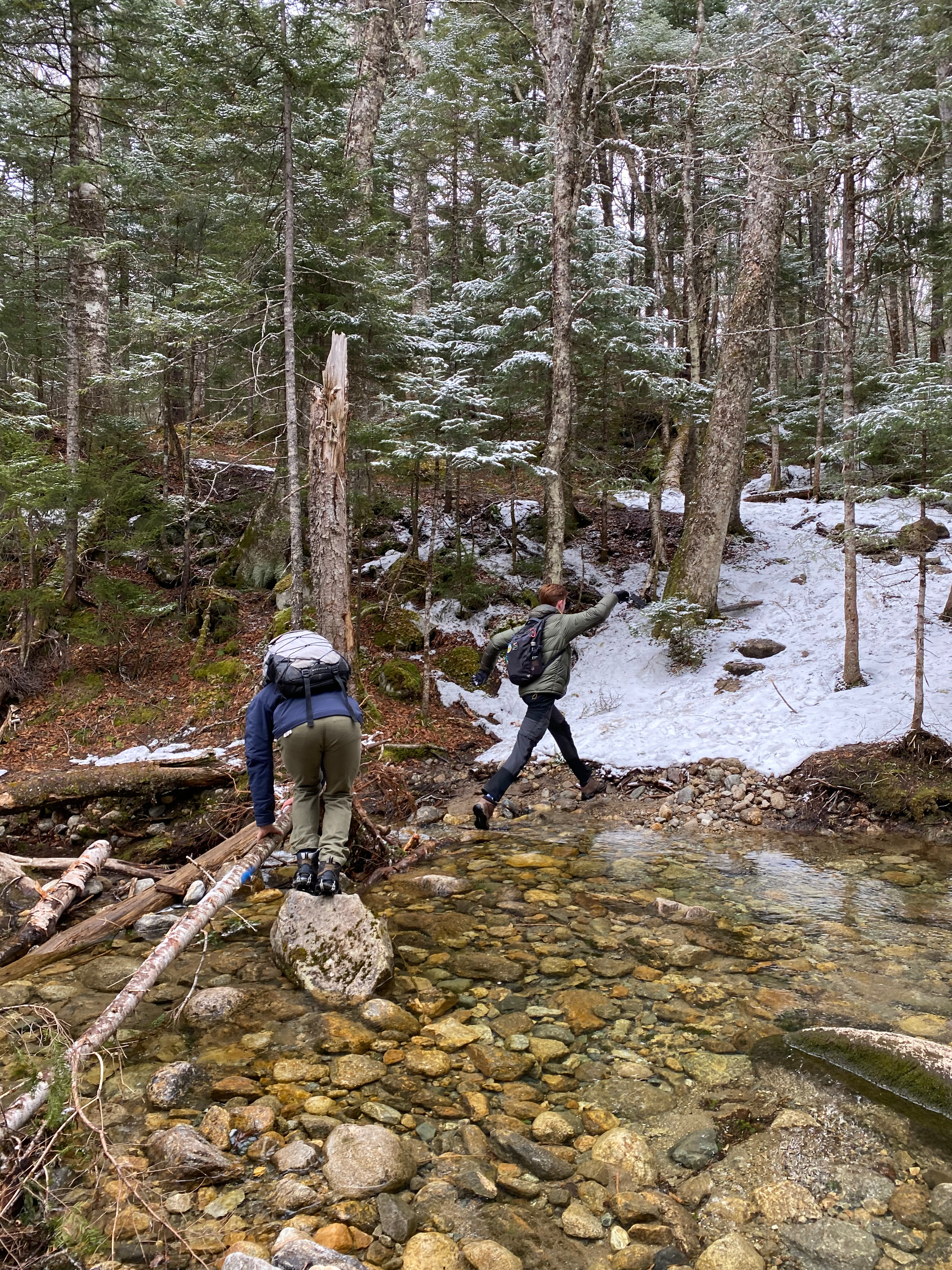
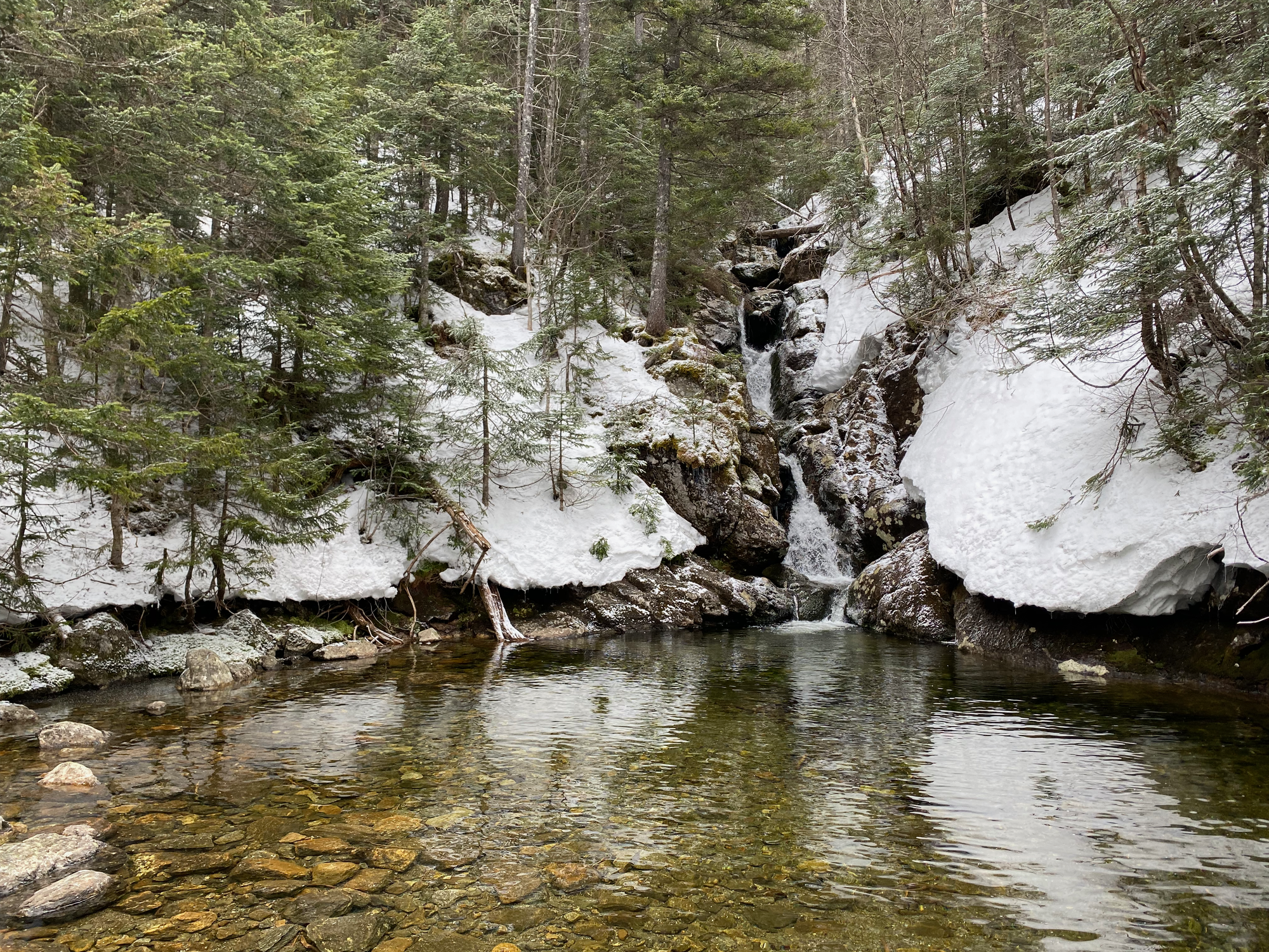
Along the way, we were warned about a guy wearing jeans, a T-shirt, and leather boots. We passed him at one of the waterfalls; somehow he’d made it to the summit and back. A few kilometres later a girl passed us, wearing running shorts and seemingly unbothered by the cold.
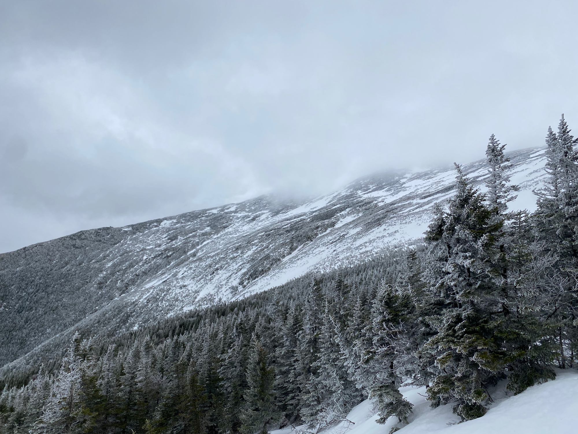
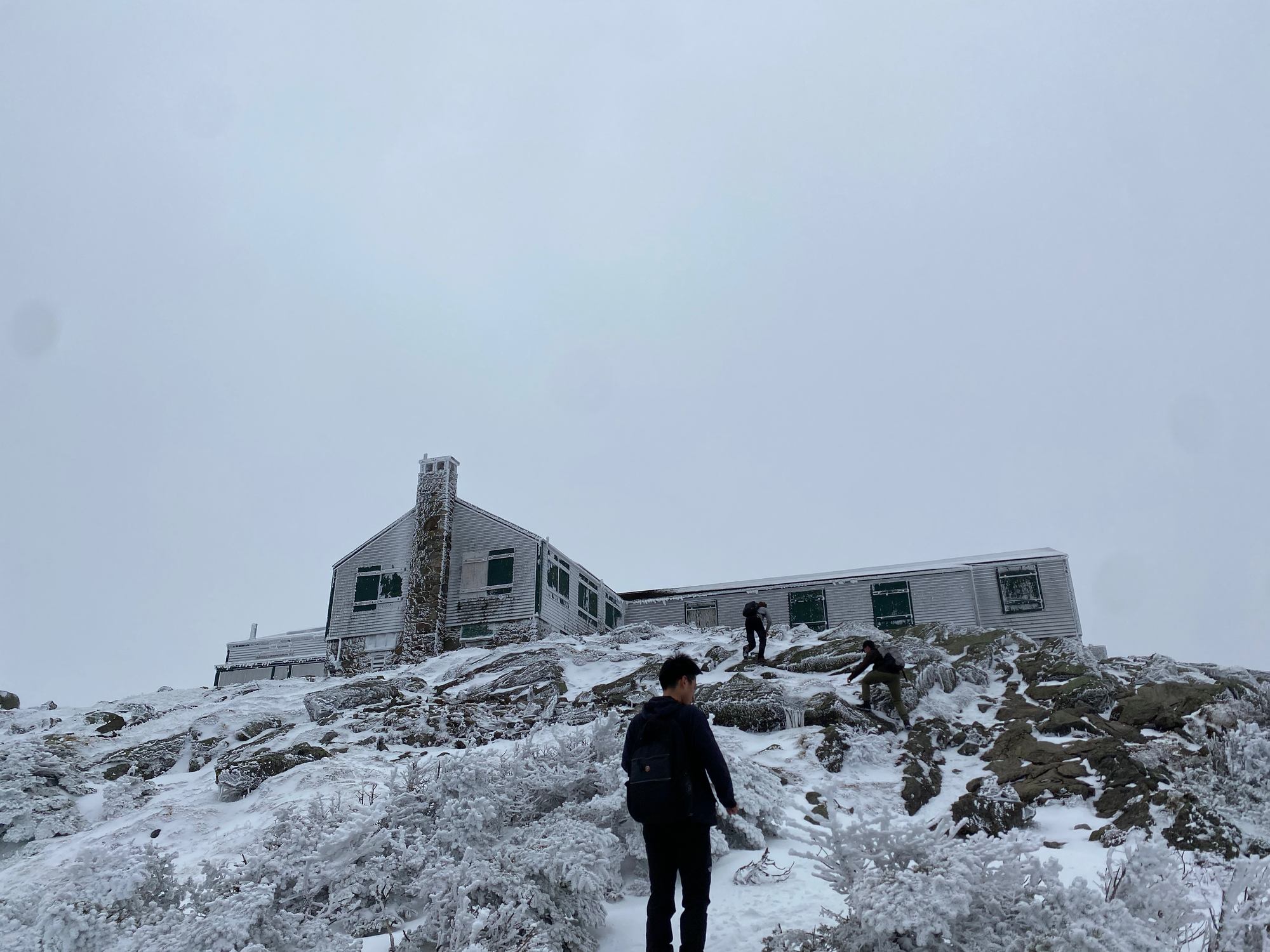
We stopped at the Lake of the Clouds Hut to eat lunch. From there we had a good view of the summit ridge, but the summit itself was covered in clouds which never lifted. I wanted to climb Mt. Monroe, only half a kilometre away, but was outvoted.
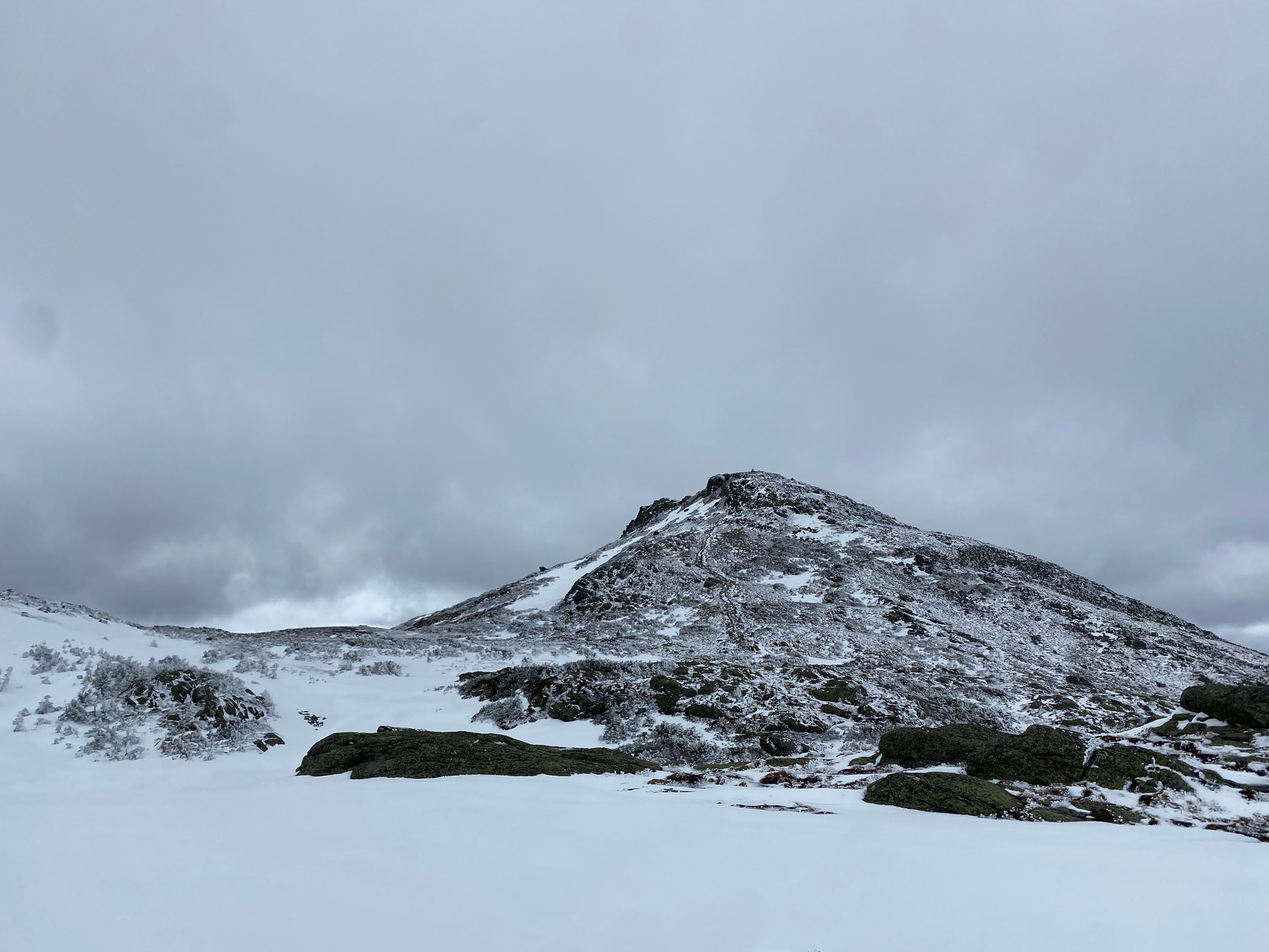
To get to the summit of Washington, we walked along the Crawford Path, a section of the Appalachian Trail. The wind had blown much of the snow off the path and I almost removed the spikes in places.
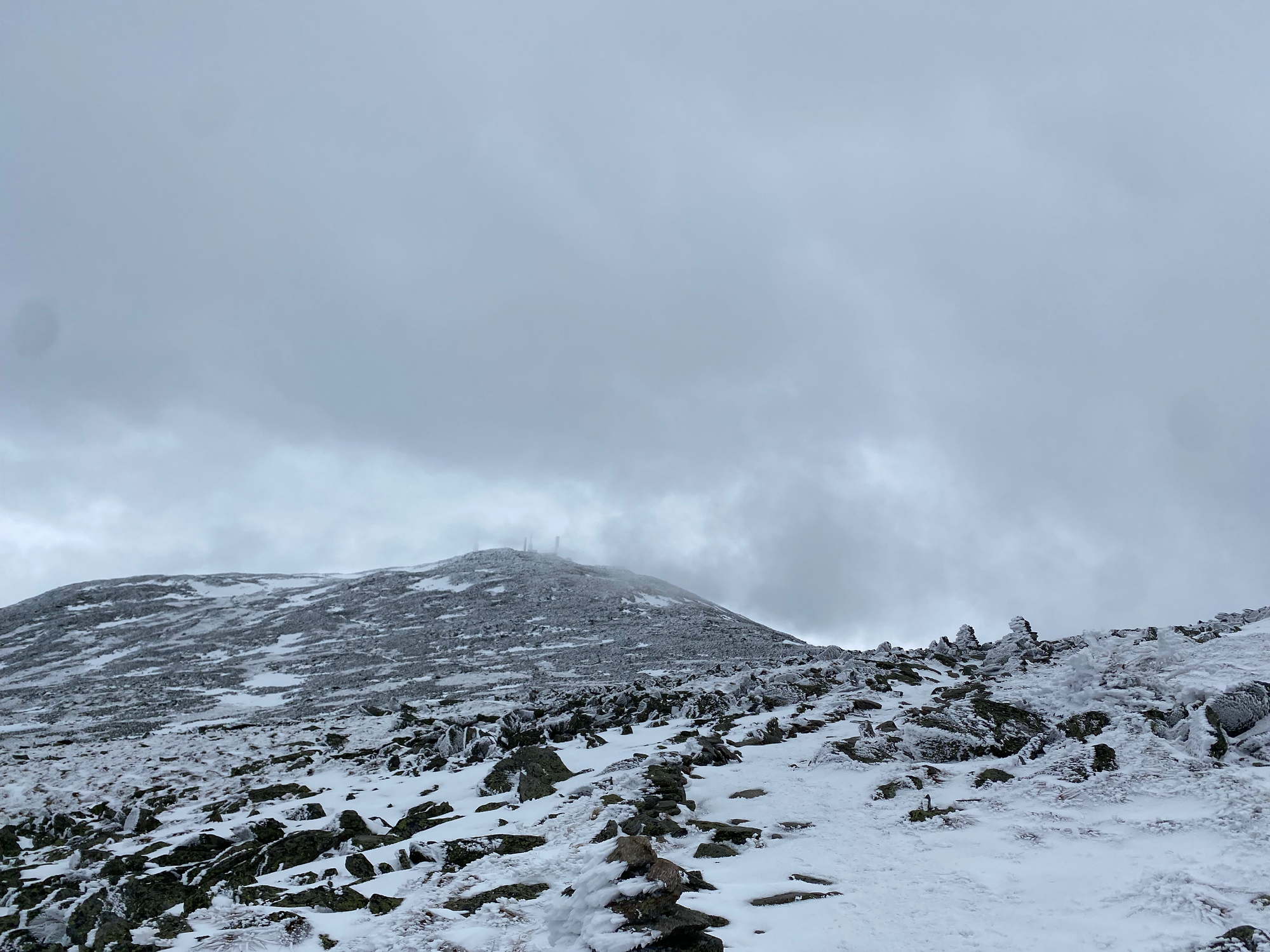
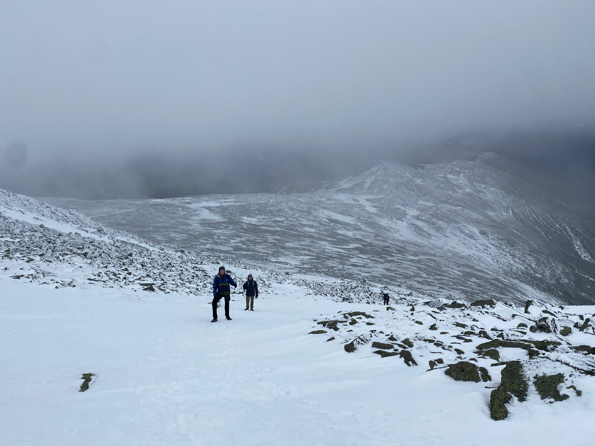
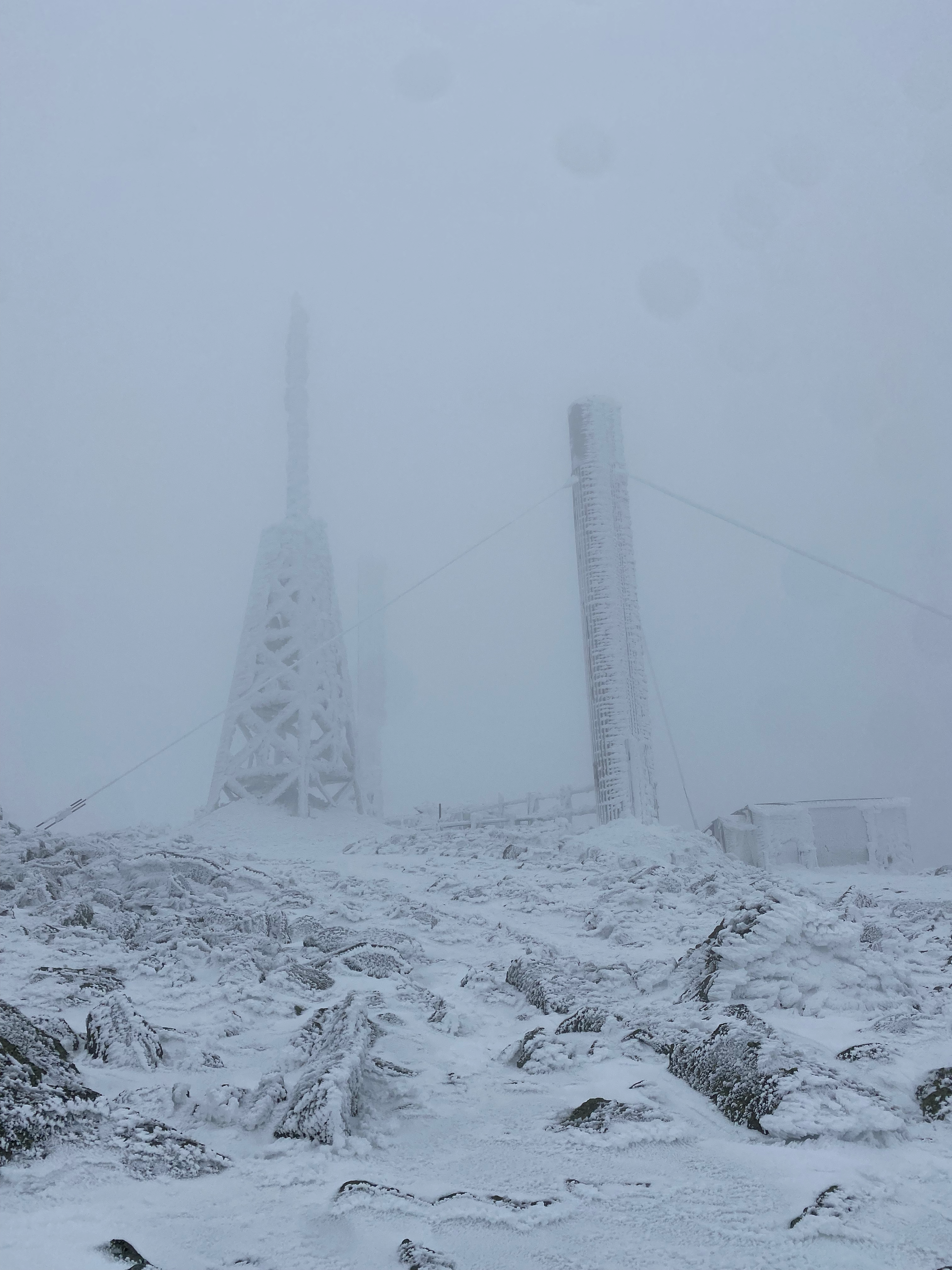
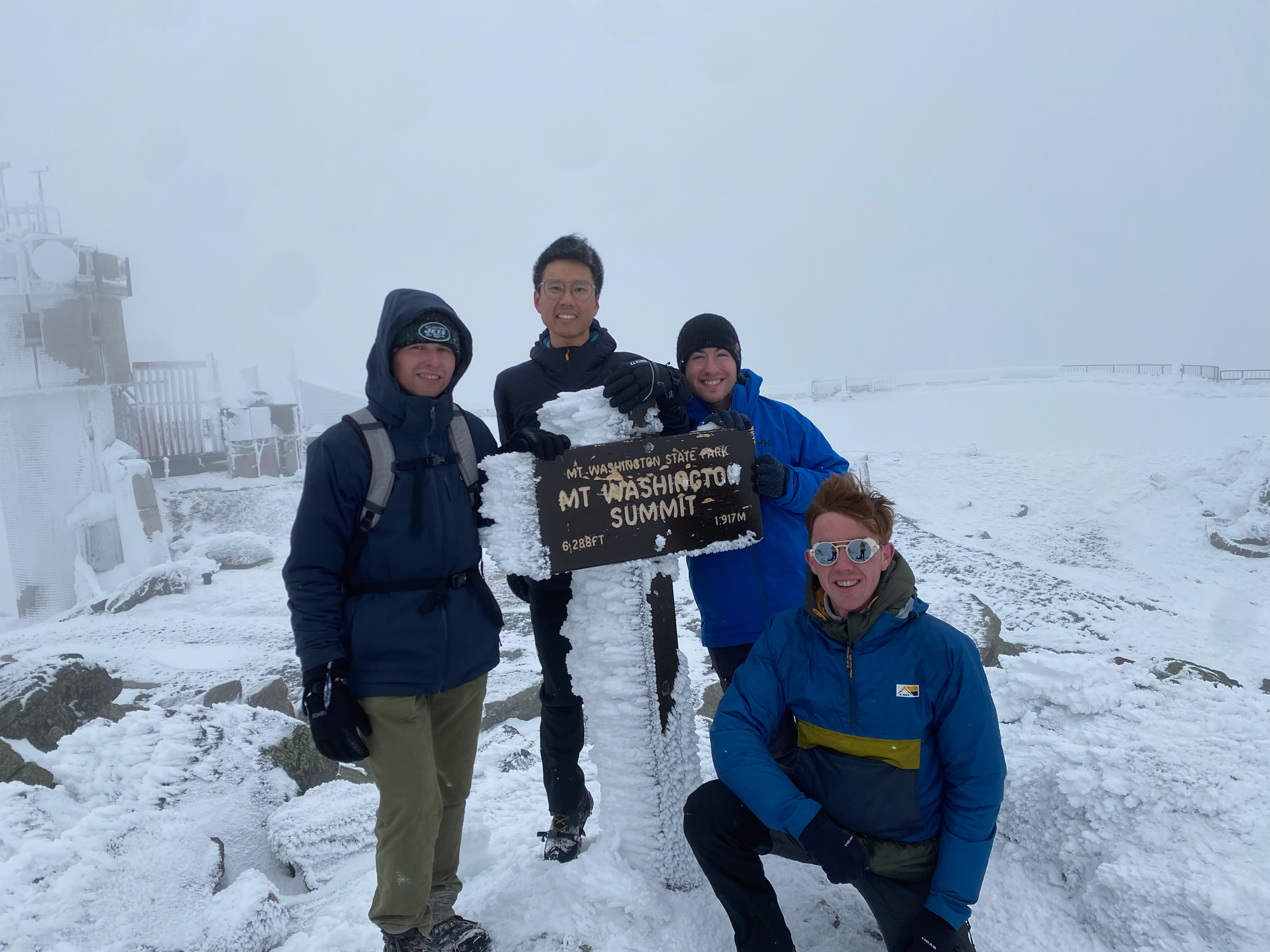
The path ascends the western slope of the mountain, then forks; we took the right fork to reach the summit. At the last second the buildings on the peak loomed out of the clouds. We took the obligatory group photo then huddled behind a wall to eat lunch. The windchill was below -20° C so we didn’t stay long.
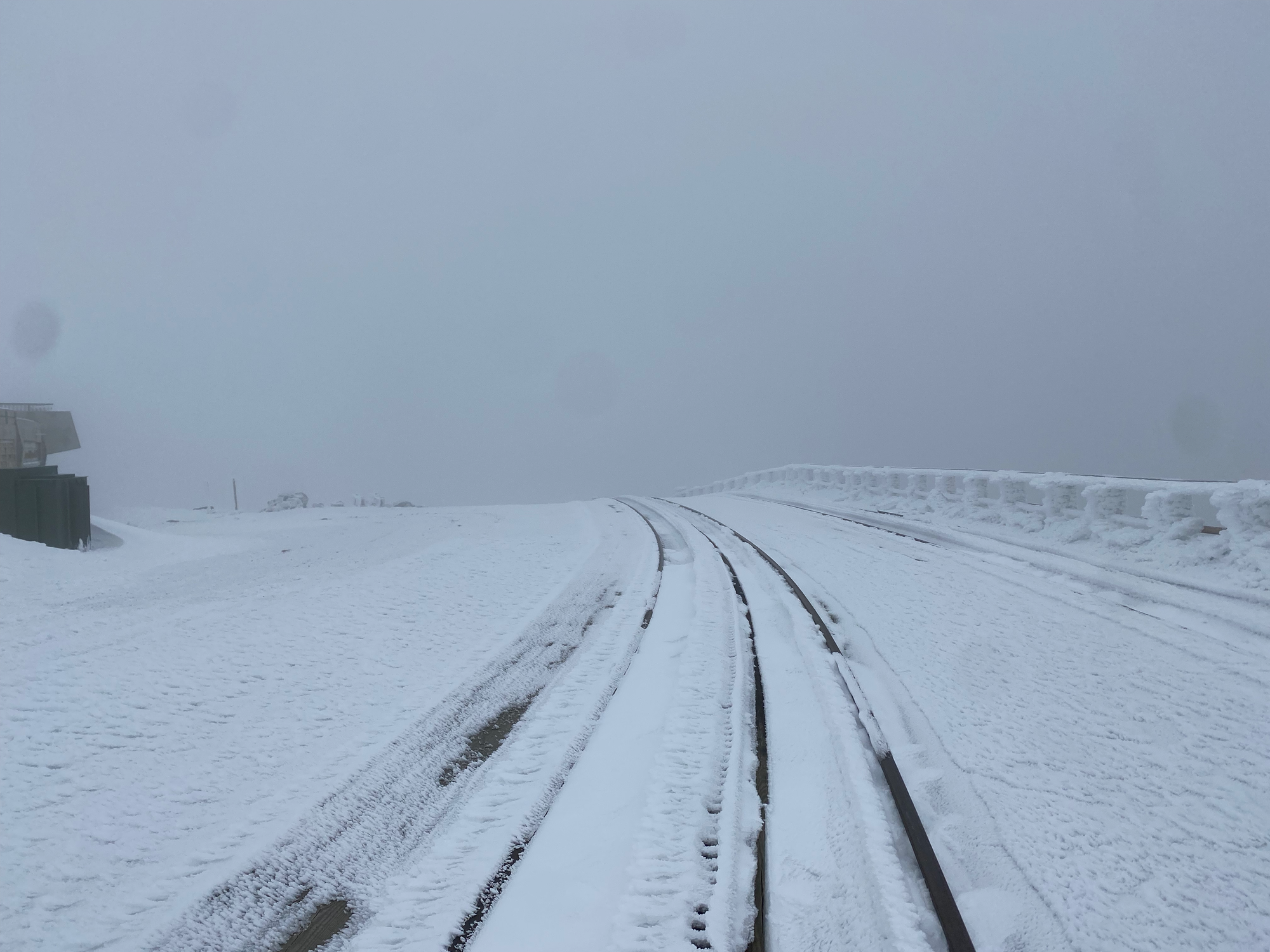
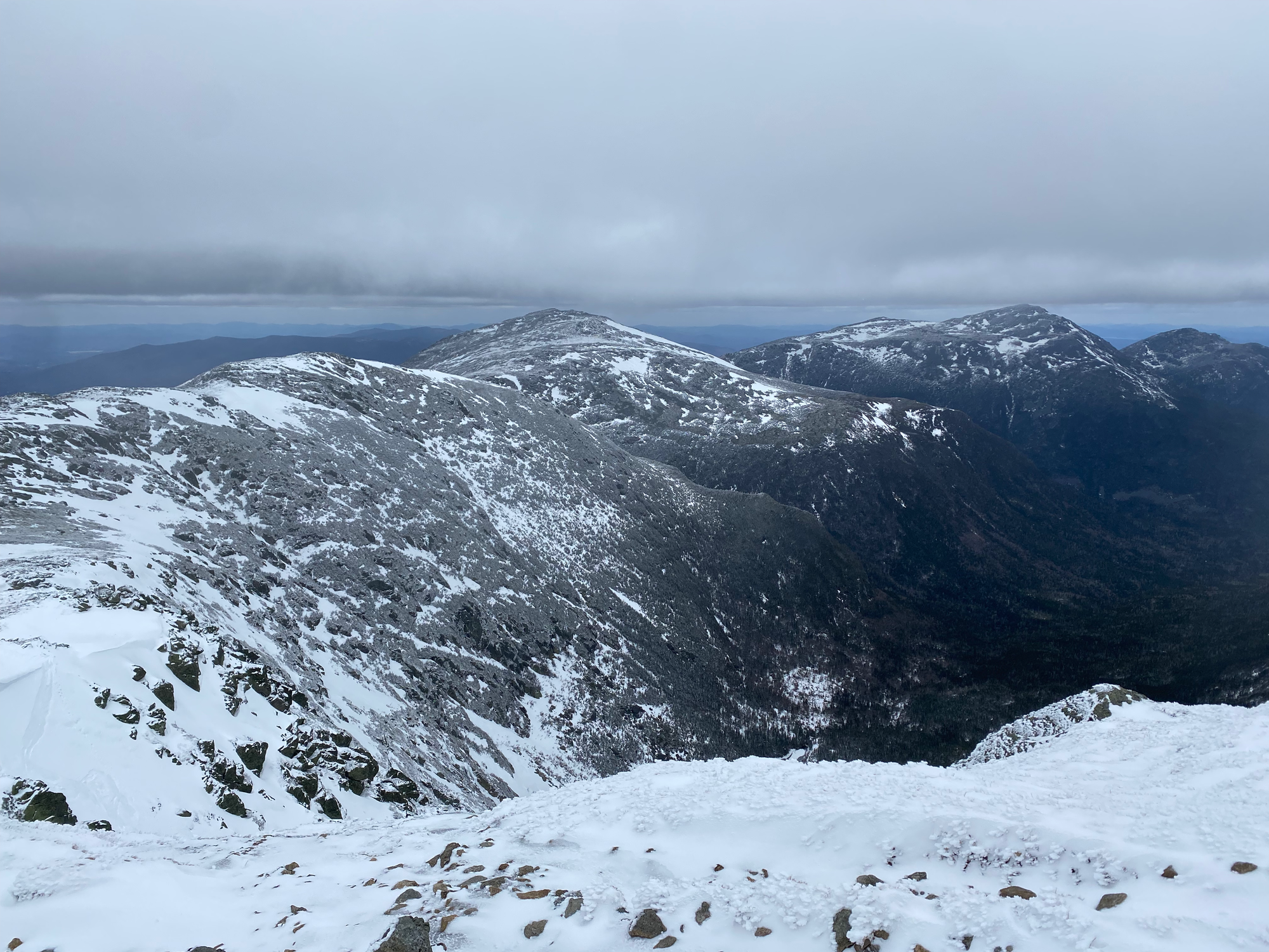
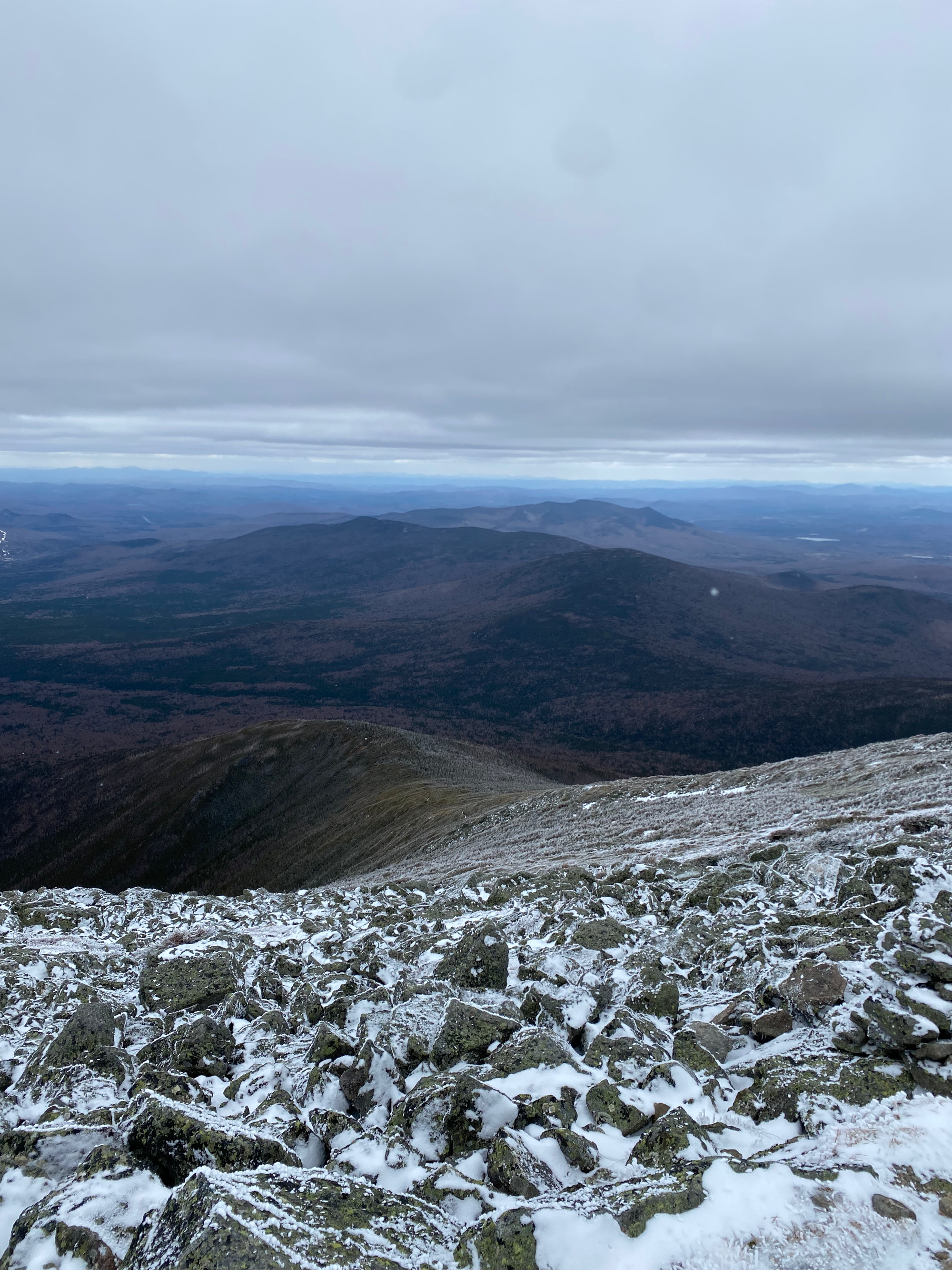
We followed the cog railway for about 1km then detoured to the Gulfside Trail. Once we were below the clouds, we were treated to spectacular views of the northern Presidential Range. This section passes close to a cliff so I was very happy we weren’t in whiteout conditions. We took a left (west) on the Jewell Trail, which descends another ridge on the west side. As with the Crawford Path, some sections had all the snow blown off, so we kept taking our spikes off and putting them back on. We stopped at the bridge over the Ammonoosuc River to relax before returning to the car.
Despite the weather and clouds, it was a great time, and I hope to return someday to do the full Presidential Traverse. It won’t be in spring, though.


Member discussion