Mount Wahleach
Date: December 4, 2024
Distance: 8.76km (from my starting point at 750m), 10.36km (from fork in road at lakeshore)
Elevation gain: 864m (from my starting point), 940m (from lakeshore)
Mount Wahleach is a small mountain in the shadow of the Cheam Range near Chilliwack, offering sweeping views of said range. If you want to experience the Cheam Range without massive elevation gain or dealing with crowds, this is the hike for you! If there weren’t trees in the way, it would have one of the best views in the province. Even then, it’s still a worthy trip, and the hike is relatively short, although there is no marked trail.
My original plan was to go ski touring near Whistler, but my phone pranked me by activating sleep mode and automatically setting all three alarms to silent mode. I woke up too late to join the trip, and ended up choosing Mount Wahleach as a short, scenic hike that could be completed before work. I quickly got my snowshoe gear together and drove out to Chilliwack. The fog started to clear and I could tell it was going to be a rare bluebird day, all the better to enjoy the view.
I turned south onto the Jones Lake Forest Service Road, about two-thirds of the way between Chilliwack and Hope. The road steeply switchbacks up a hillside, then follows a canyon to Wahleach/Jones Lake, where there is a campsite offering excellent views of Mount Cheam and Lady Peak. The road was in good condition until the main campsite. Past that, it followed the shores of the lake and became pockmarked with potholes.
About two-thirds down the lake (at 49.217144, -121.611693), the road forks, and I took a branch road heading uphill (southwest). This branch road has many waterbars, which started out deep but wide, and then became narrower. I stopped at 750m, and most people will probably park here or earlier, but high clearance vehicles and ATVs could probably make it to an elevation of about 900m, resulting in a 5.76km round trip.
I walked up the logging road, regretting my decision not to bring a bike. The area was logged recently, and the giants of the Cheam Range could be seen through the clearcuts.
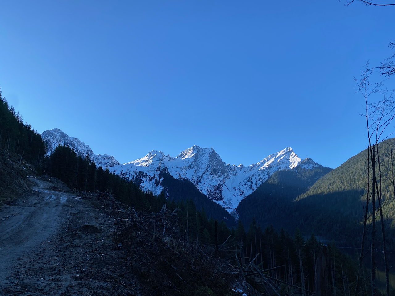
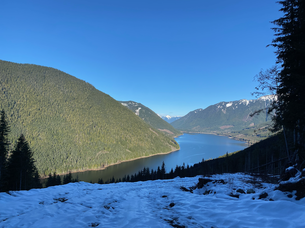
After passing a X-junction, I reached another branch road at about 900m, guarded by a large ditch. This took me to a cutblock. There is no flagged trail, so I made my way to the treeline. There was enough snow to hide obstacles, but not enough to support my weight, making things annoying. Thankfully the cutblock isn’t very overgrown yet.
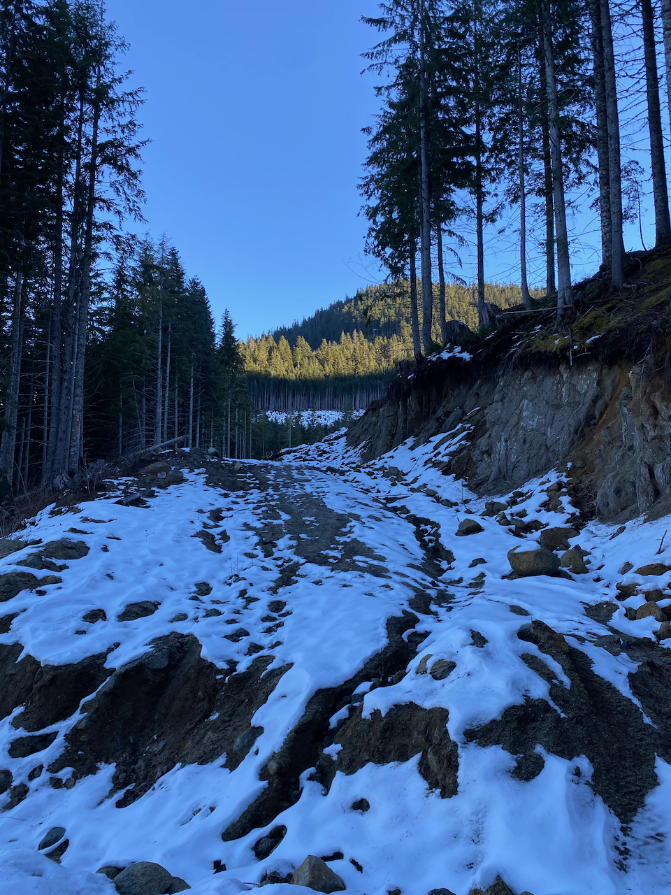
I soon reached the treeline, entering a third-growth forest dense enough to be dark and spooky but not dense enough to impede navigation. After a few minutes of bushwhacking, I came across a faint trail which roughly followed the GPS track I downloaded from Peakbagger, but clearly gets a lot of use from local deer. It wasn’t too difficult to follow the deer tracks, which churned up the soil, but some flagging here would be useful. (If you’re using my GPS track, I suggest following the down track (north), which stays on the deer trail for longer.)
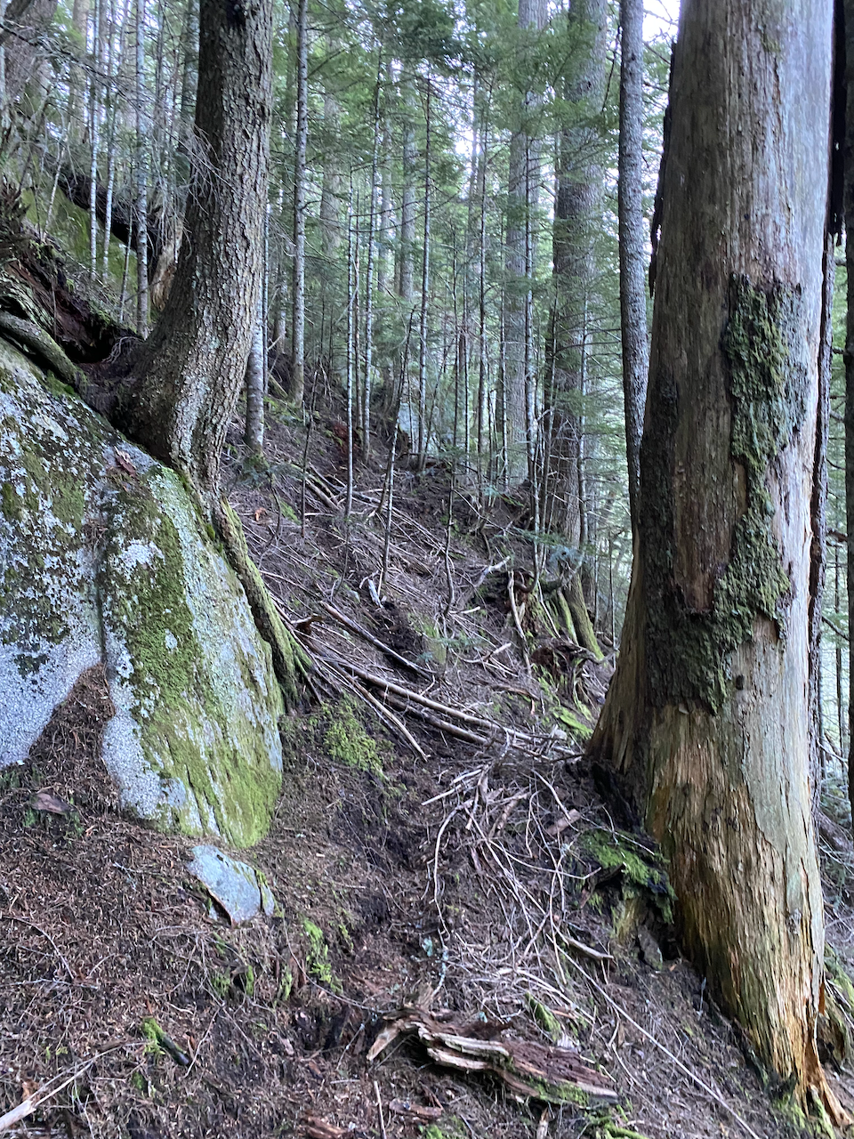
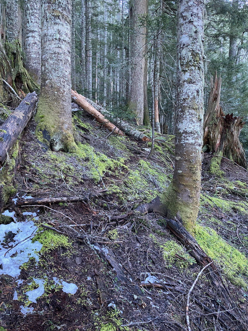
This led me to the col between Wahleach and an unnamed bump to the north, at which point the snowshoes came on. I took the path of least resistance up Wahleach’s north face through a system of natural ramps. A steep bluffy section near the end would pose some avalanche risk.
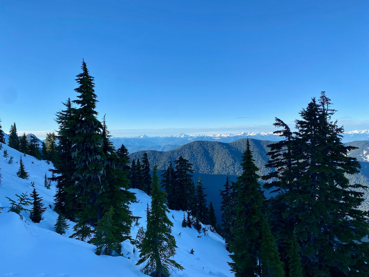
The summit is a wide plateau. To the north were good views of Mount Barr and more distant peaks in the Chehalis area.
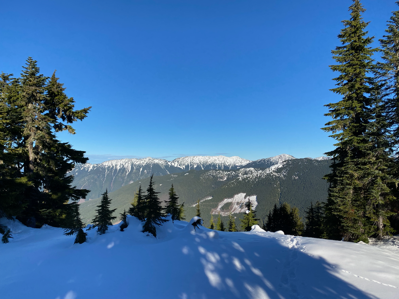
The highest point was treed, but more views could be found by walking around the plateau.
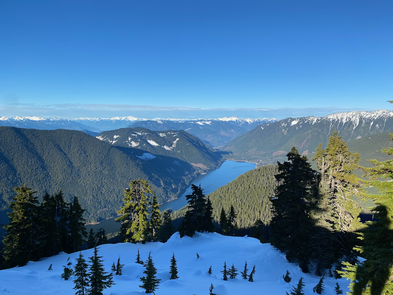
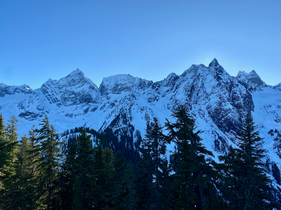
The best views were from a small bluff southwest of the highpoint, where the massive north faces of Welch, the Still, Stewart, Knight, Lady, and Cheam towered hundreds of metres over me. Be mindful of cornices in this area. For a few minutes, the sun hid behind Stewart Peak - the poor man’s total solar eclipse.
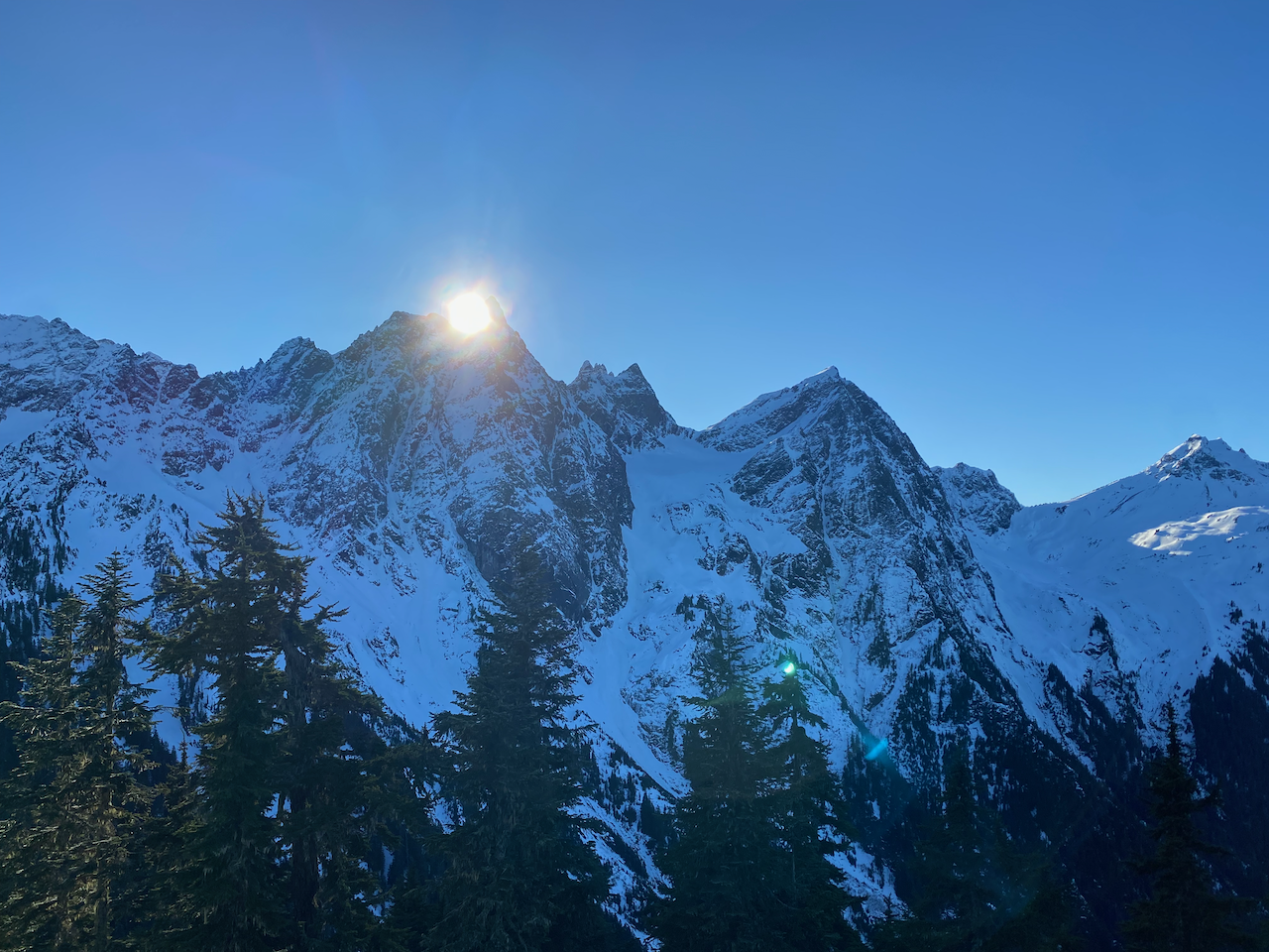
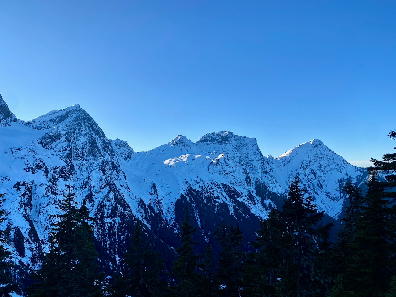
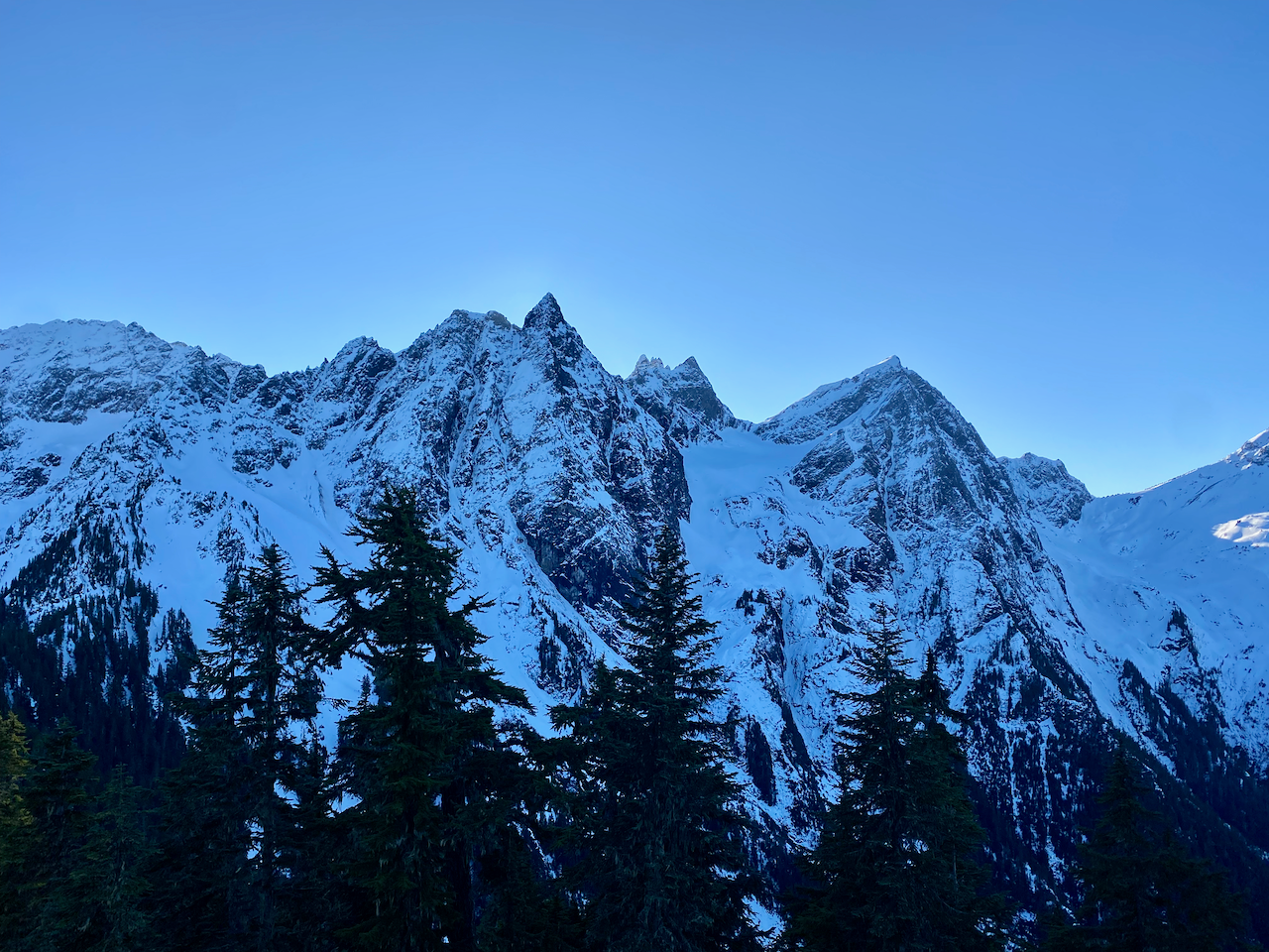
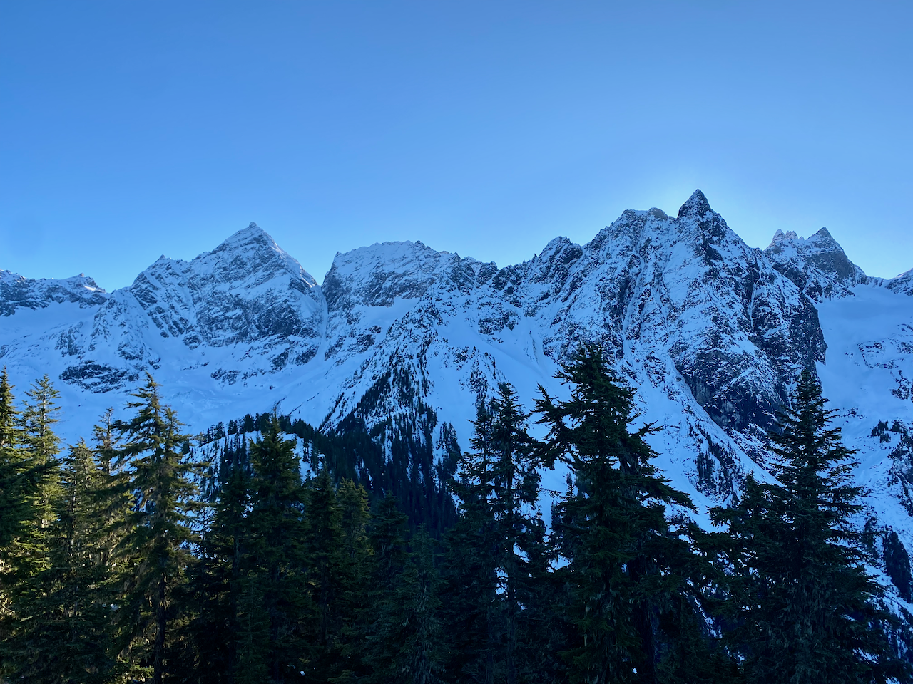
This would be an excellent sunset view, but I didn’t have that much time. On the way down I stayed on the deer trail for longer. Eventually I lost the trail near the treeline and descended the last few metres to the cutblock. The rest of the hike was uneventful and I made it home with a few minutes to spare before work.


Member discussion