Mount Stewart
Date: August 12, 2025
Distance: About 7km round-trip from the GDT
Elevation gain: 1300m
At 3312 metres, Mount Stewart is the tallest peak in the remote White Goat Wilderness between Banff and Jasper national parks. From the south, it looks like a fang with sheer cliffs on its eastern face. It’s at least a day’s hike from the nearest road, and sees few ascents. However, it’s only a class 2 scramble by its easiest route, albeit a long slog up scree slopes. The rewards: 360 degree views over some incredible scenery. This peak is quite a demanding detour from the already incredibly demanding GDT, but if you happen to have the time, stamina, and weather, I can’t recommend it enough.
I was hiking the Great Divide Trail and had some time to kill in the area due to my permit schedule. I spent some time looking at maps to find potential side trips, and noticed Mount Stewart rising directly above the GDT. The GDT is nice, but there aren’t enough easily ascendable peaks along this section; this trip would fix this issue. I came across a trip report from 2015 on explor8ion.com (https://www.explor8ion.com/2015/09/12/stewart-mount/) which described the one class 2 / 3 route up this peak. The weather was on my side so I decided to go for it.
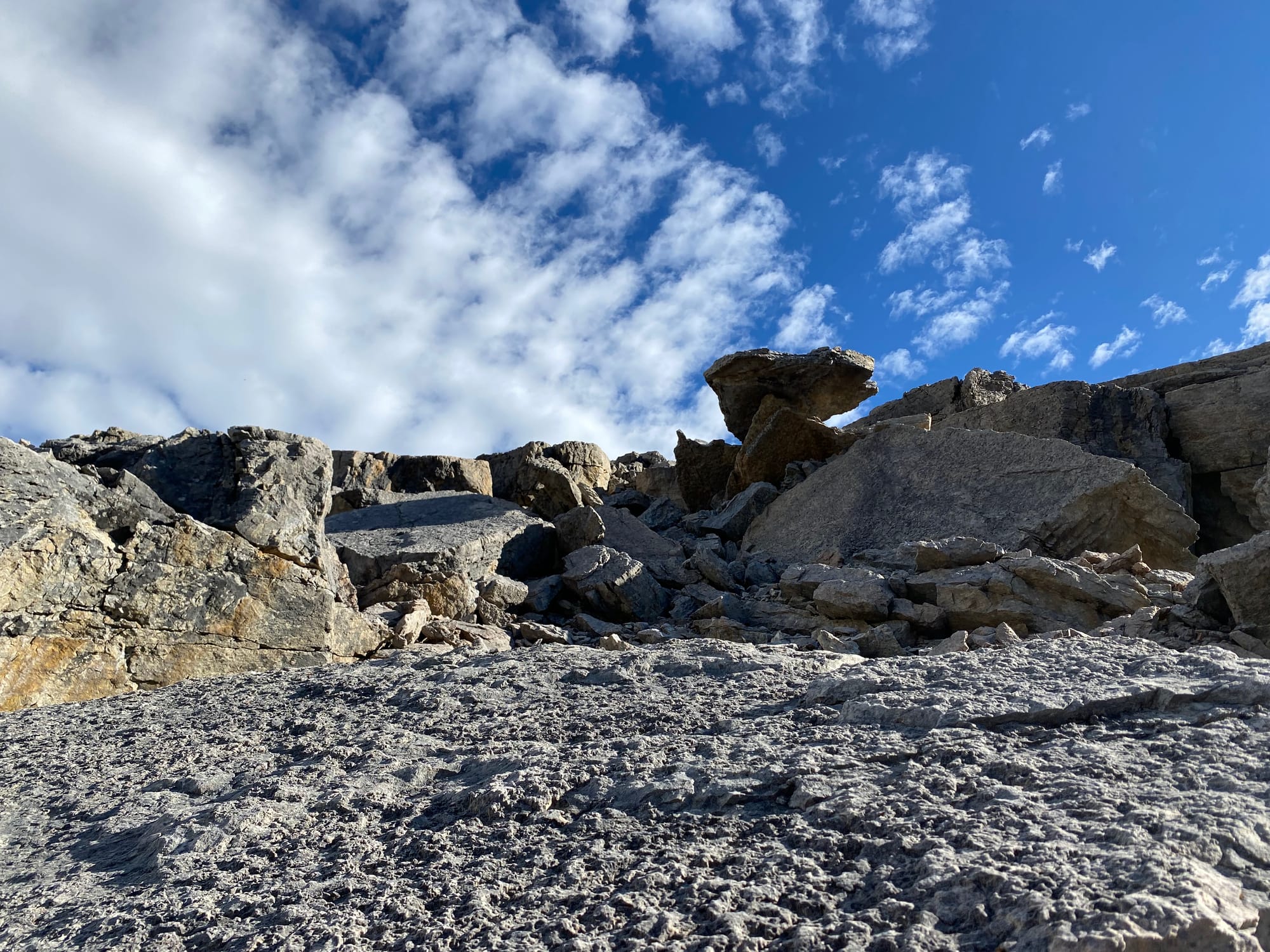
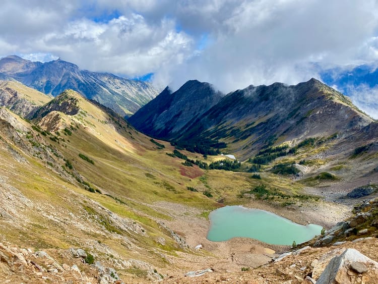
I’d spent the night at a clearing just off the main trail. From here I went uphill through some very mild bushwhacking, then reached a boulder field. I continued along the eastern edge of the boulder field until I was above treeline, then headed northeast on scree. Already, the peaks across the valley dominated the view.
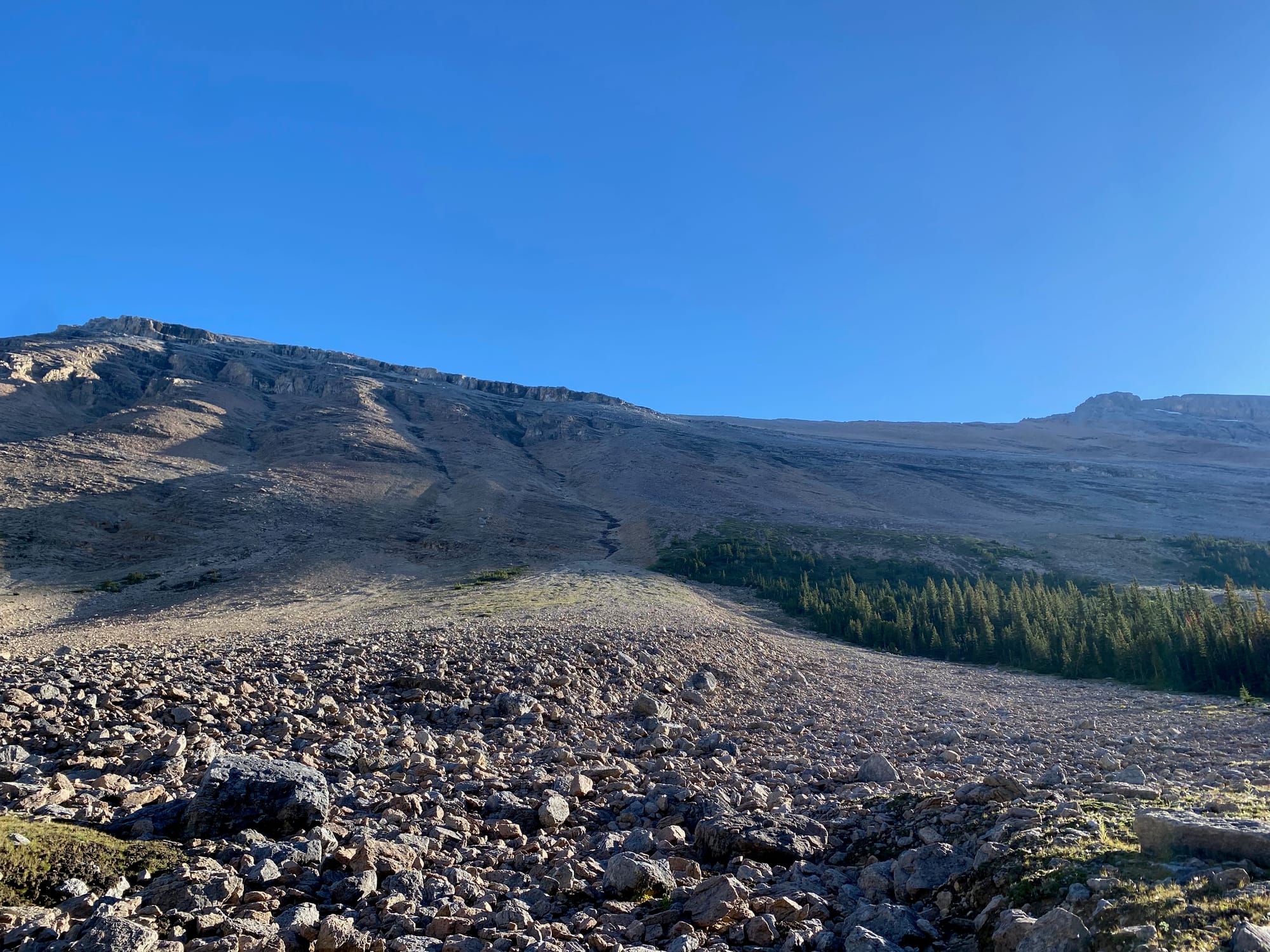
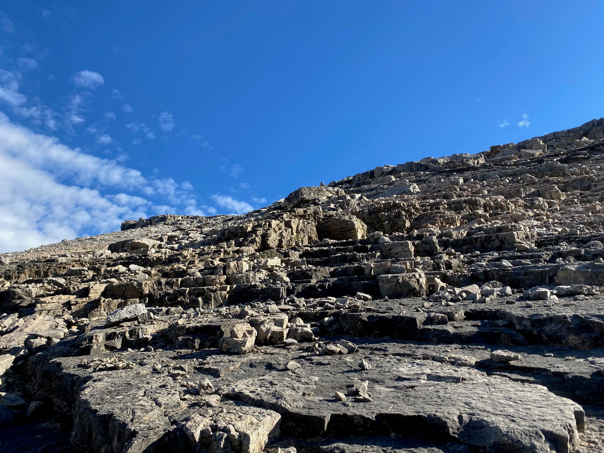
Around 2500m, there was one cliff band, but this could be passed with some class 2 scrambling, maybe Rockies class 3 in places. I kept heading northeast until around 2600m, when I turned northwest towards the summit.
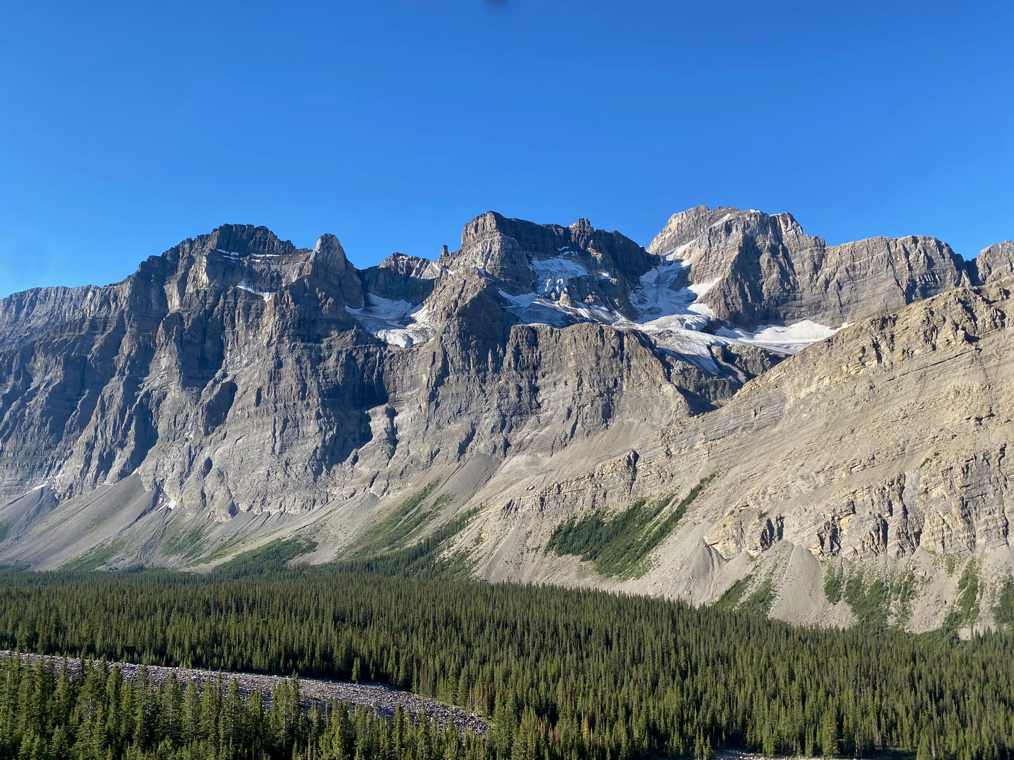
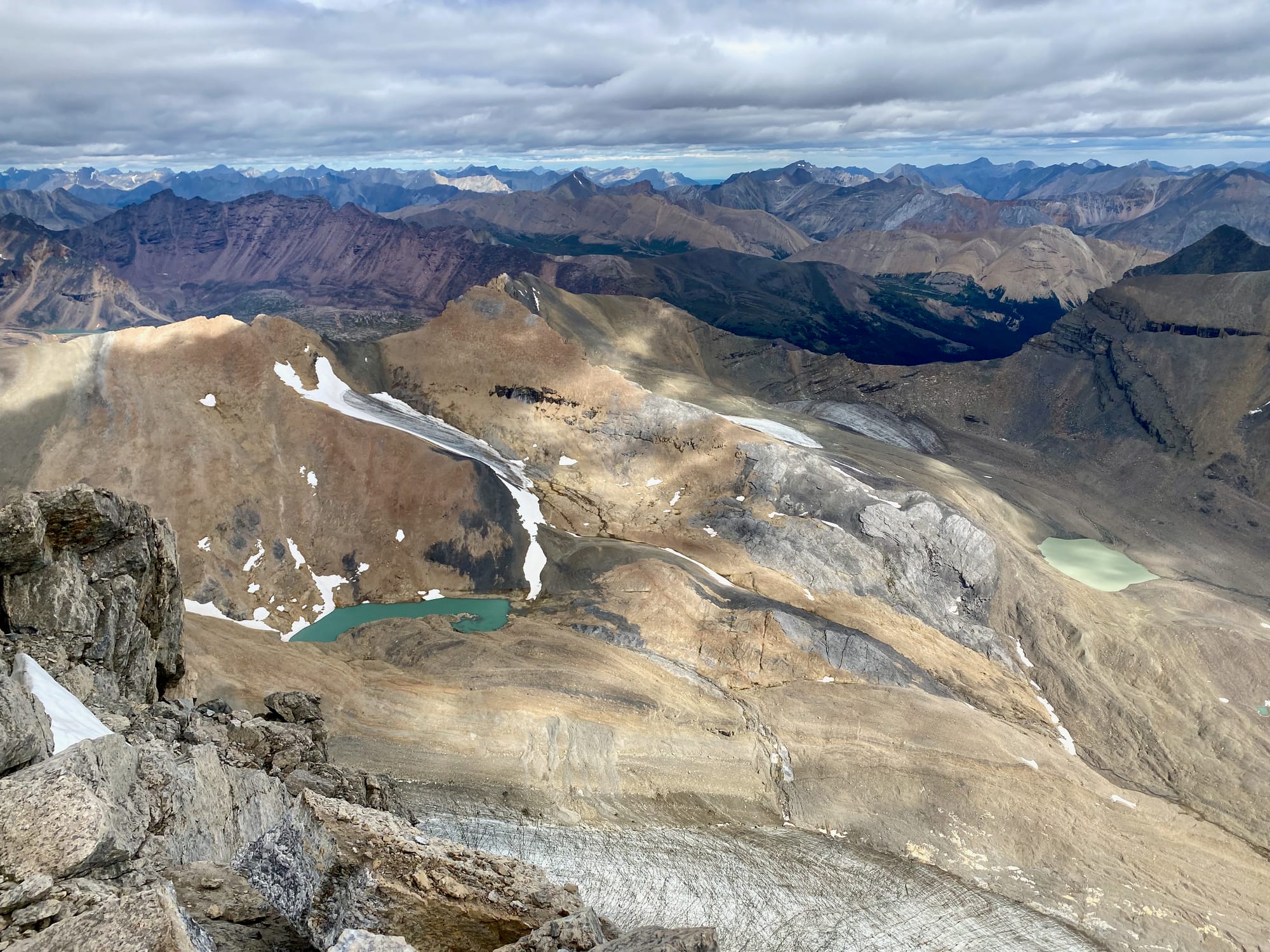
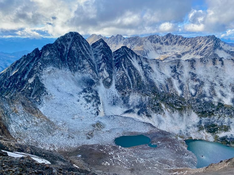
This section was very foreshortened. The thing that looks like the summit is actually the summit, but it is much further than it looks. The peaks on the other side of the valley still towered above me, their summits so far away, and it was alarming to realize I'd have to climb over a hundred metres higher than them to reach the summit I sought. Still, with the views being what they were, I couldn’t complain.
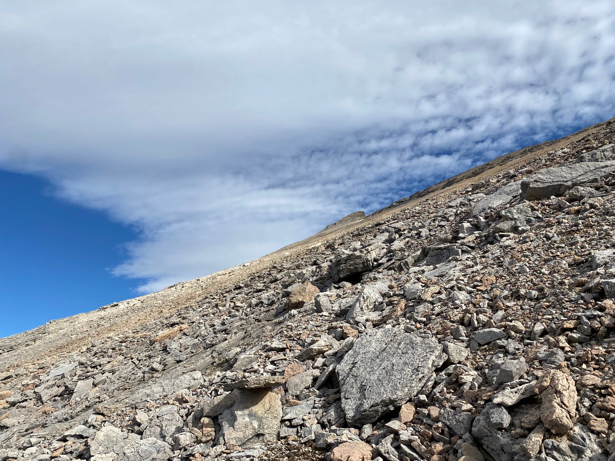
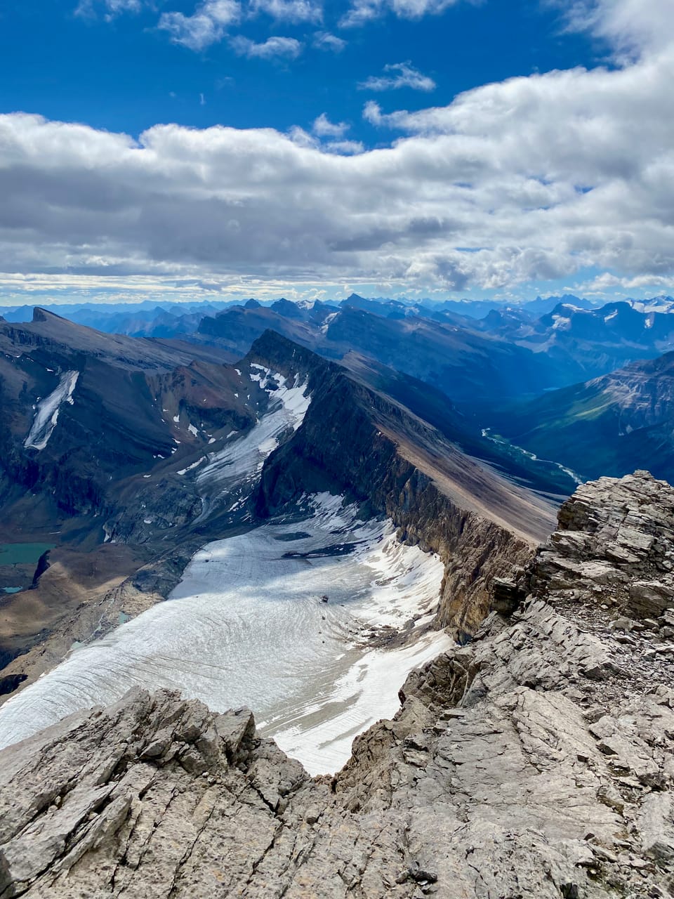
The scree grind continued. The ridge gets steeper and narrower, with fearsome cliffs to the north and east, but it’s still very wide. At no point would a fall have sent me off a cliff. Things got steeper and steeper, but eventually I reached the summit!
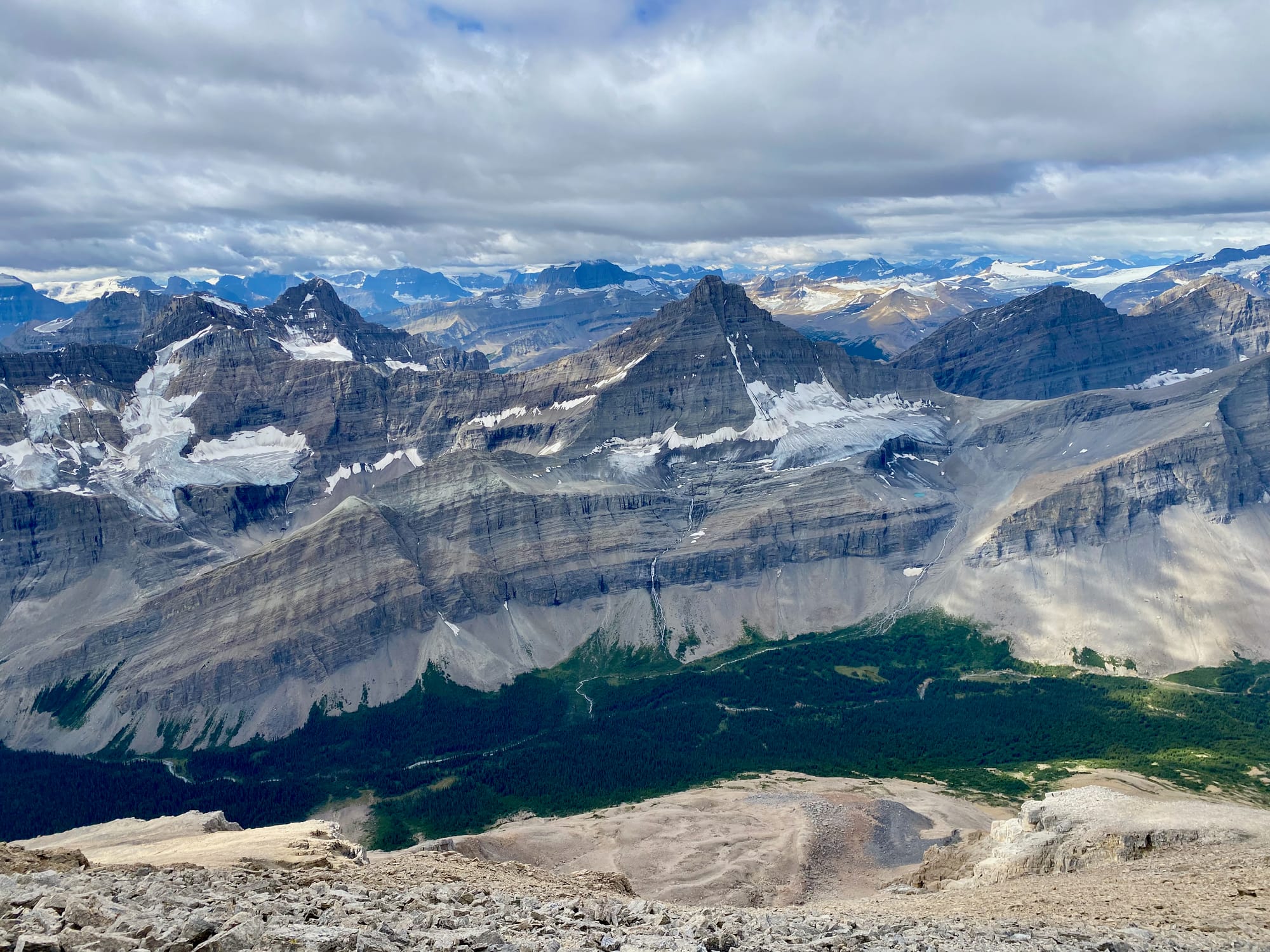
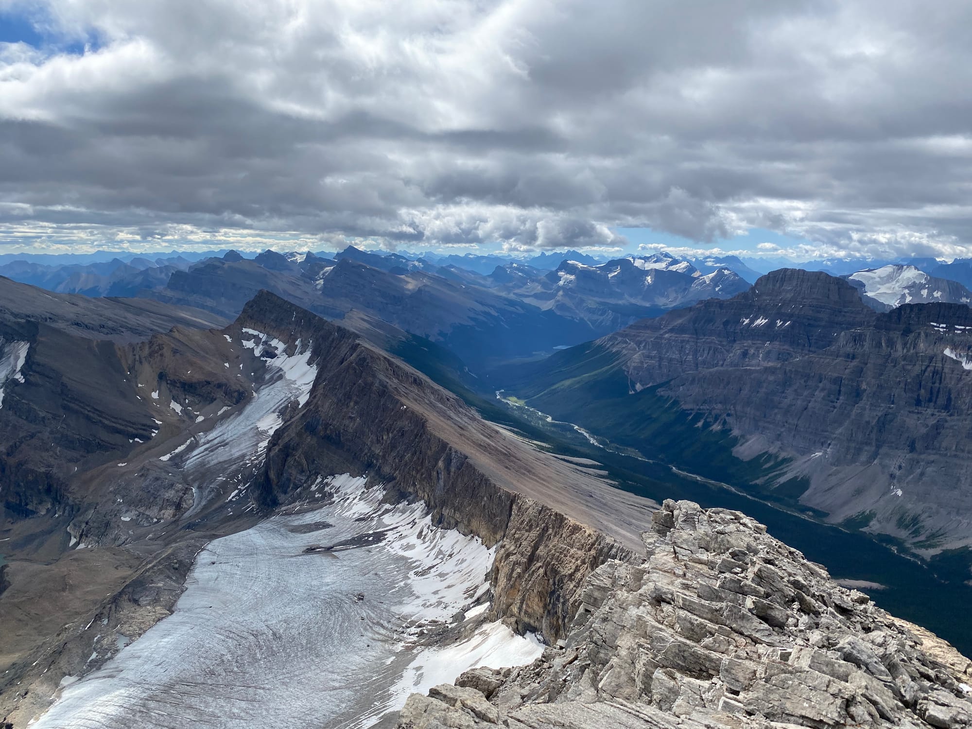
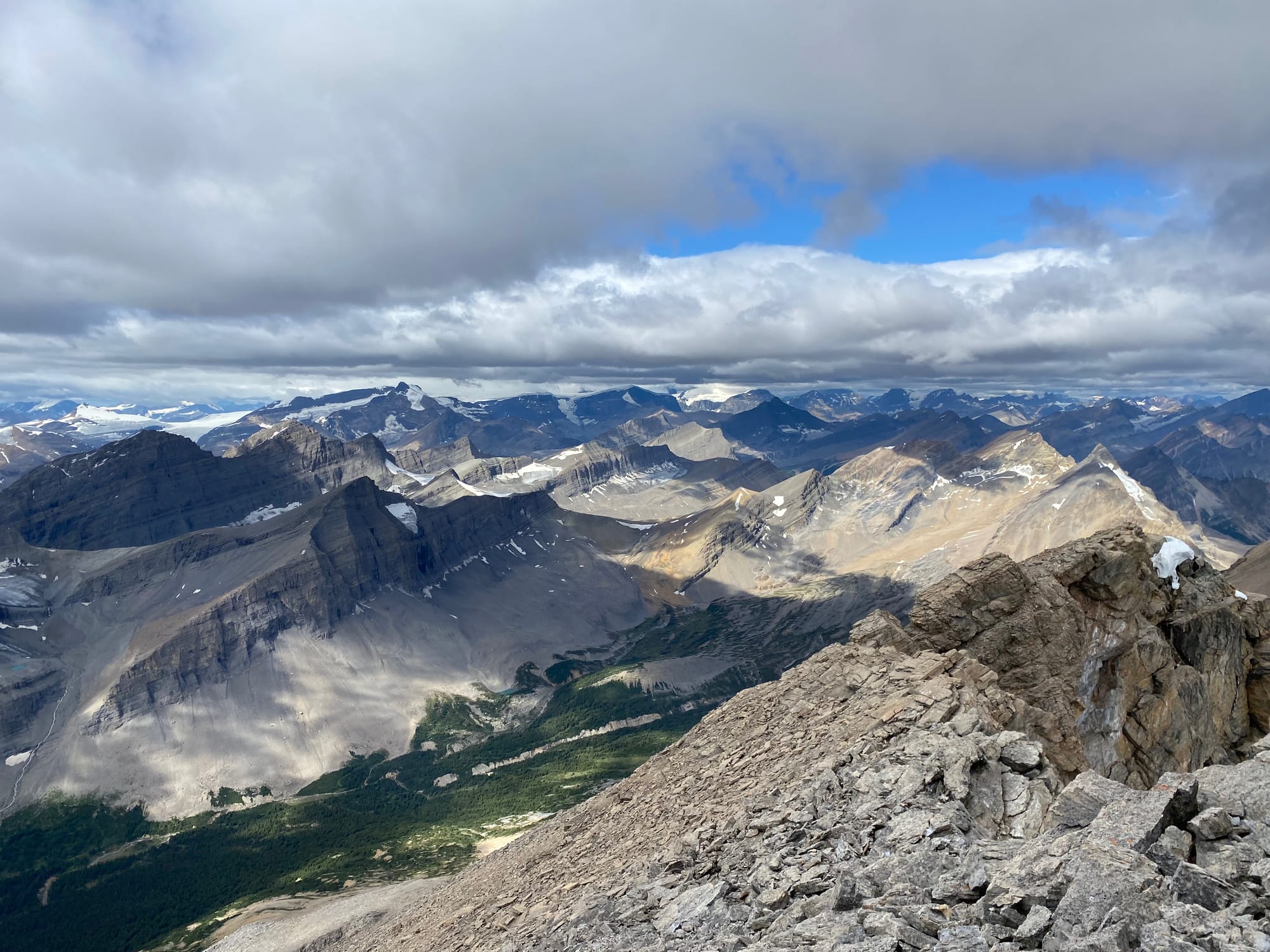
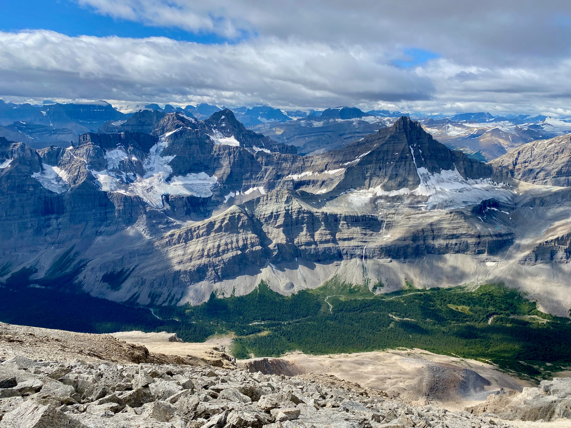
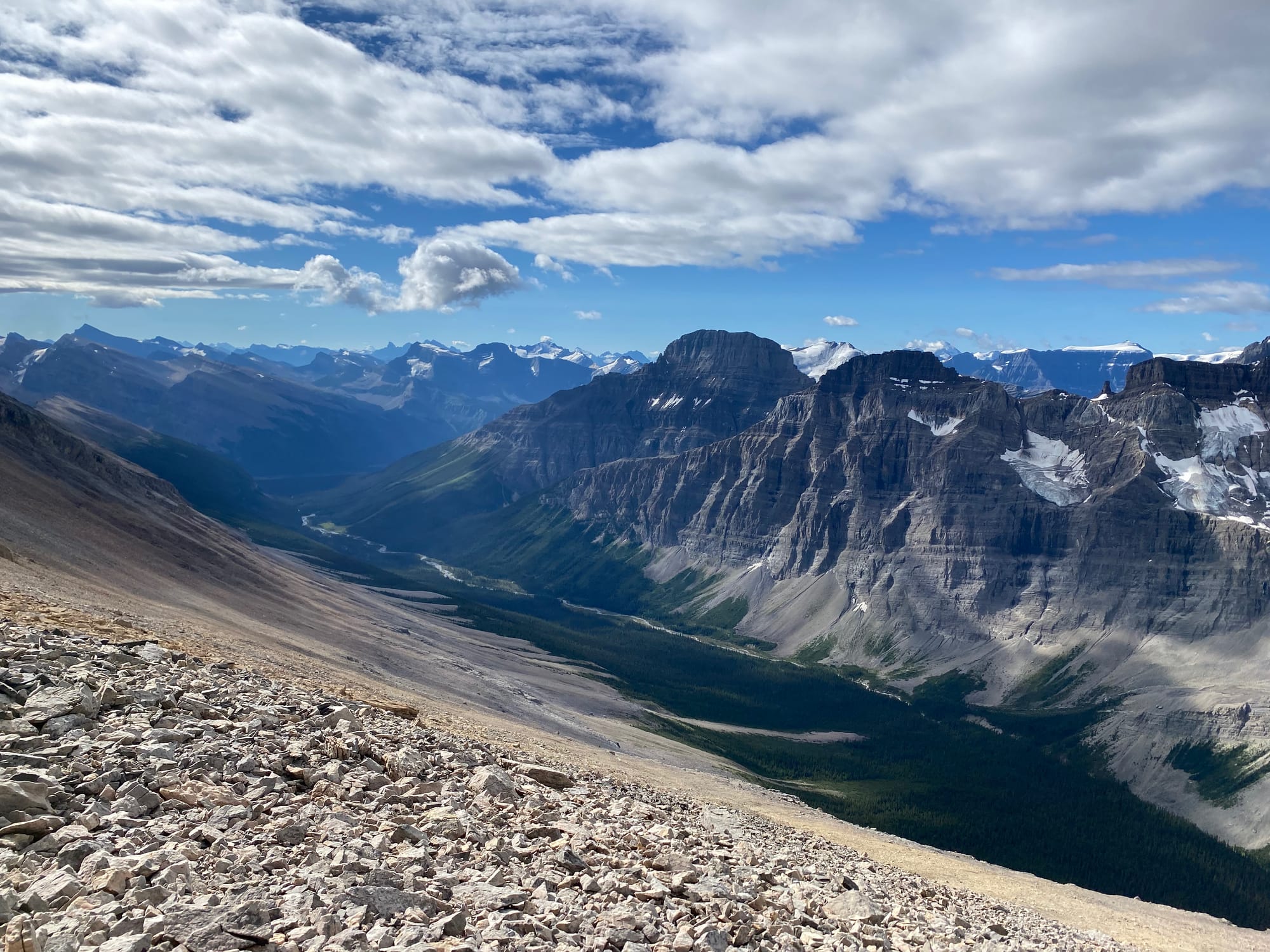
I’d been in the Rockies for almost two weeks but this view still took my breath away. It really put my GDT trip into perspective: I could see almost all the ground I’d covered since leaving The Crossing, and much of the terrain I'd have to cross in the next few days to get to Jasper. I relaxed on the summit for over an hour, taking everything in.
The Rockies don’t let you see these kinds of views for long. As had happened many times before, clouds rolled in and it seemed wise to descend quickly. I retraced my steps to the GDT and continued that adventure.
Member discussion