Mount Porter, Iron Mountain, and Great Central Peak
Date: September 16, 2024
Distance: 13.86km (About 7.5km if only hiking to Porter and Iron)
Elevation gain: 903m (About 500m if only hiking to Porter and Iron)
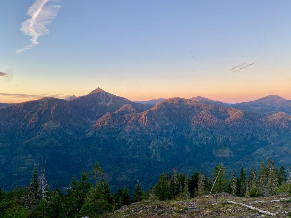
These three mountains form a long ridge between Sproat and Great Central Lakes on Vancouver Island. Access is from the Pacific Rim Highway, about a third of the way from Port Alberni to Ucluelet. Porter and Iron offer excellent ridgeline views of the mountains of the central island. Great Central has no views or trail, but it’s 3 metres higher than Porter so it’s quite prominent. I used the Alltrails route and Matt J. and Matteo S.'s Peakbagger trip report for navigation. I’d recommend Porter and Iron as a hike, trail run, or snowshoe, but Great Central would only really be enjoyable for peakbaggers.
Monday was the last day of my Vancouver Island weekend trip; I had to catch the 1:40 ferry to make it home in time for work. This hike caught my attention since the access road wasn’t gated (unlike most other hikes in the area) and the stats were short enough for me to make it to the ferry on time. (It ended up taking longer than expected…)
The trail is accessed from a system of logging roads past the Taylor Flats bridge. If approaching from the east, Google suggests leaving the highway at 49.290323, -125.225028, but this approach has a large pit that caused significant damage to an Alltrails user’s high clearance 4x4 (https://www.alltrails.com/trail/canada/british-columbia/iron-mountain). I took another turn at 49.2899340, -125.2392168, which was in much better shape. Active logging had taken place recently, and the road was in great shape up to 950 metres. A careful 2WD driver could probably make it there. Past 950 metres the road deteriorated; someone with a high clearance 4X4 could make it another 0.4km through waterbars and pinstripy areas, but is it worth it?
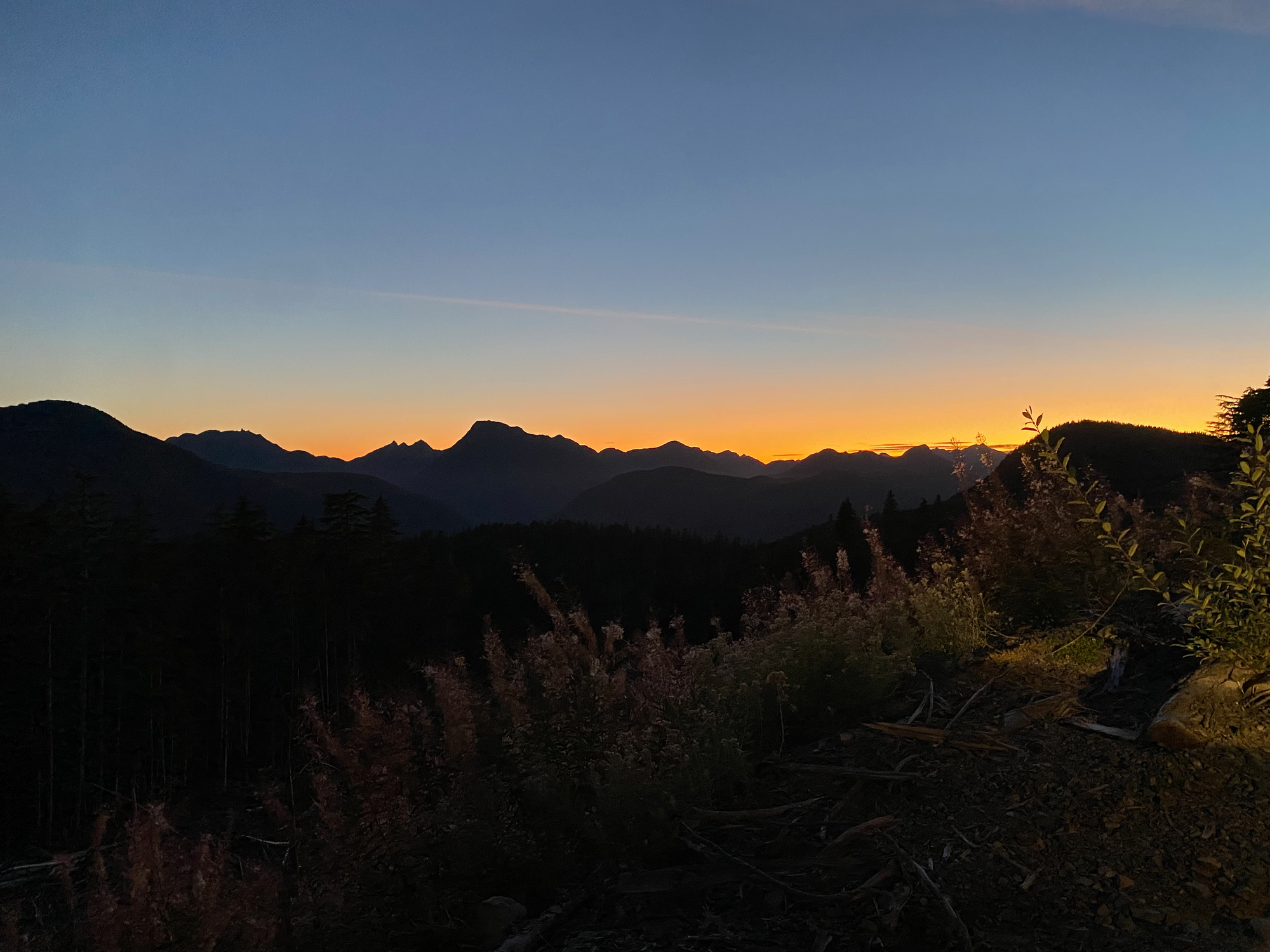
I car camped at the furthest drivable point and began hiking early in the morning. After leaving the logging road, the trail climbs to the ridge through the forest. It’s extremely well marked and is maintained by local volunteers (thanks!). Most of the ridge is old-growth forest. I caught the last remnants of sunrise at the first of many bluffy viewpoints.
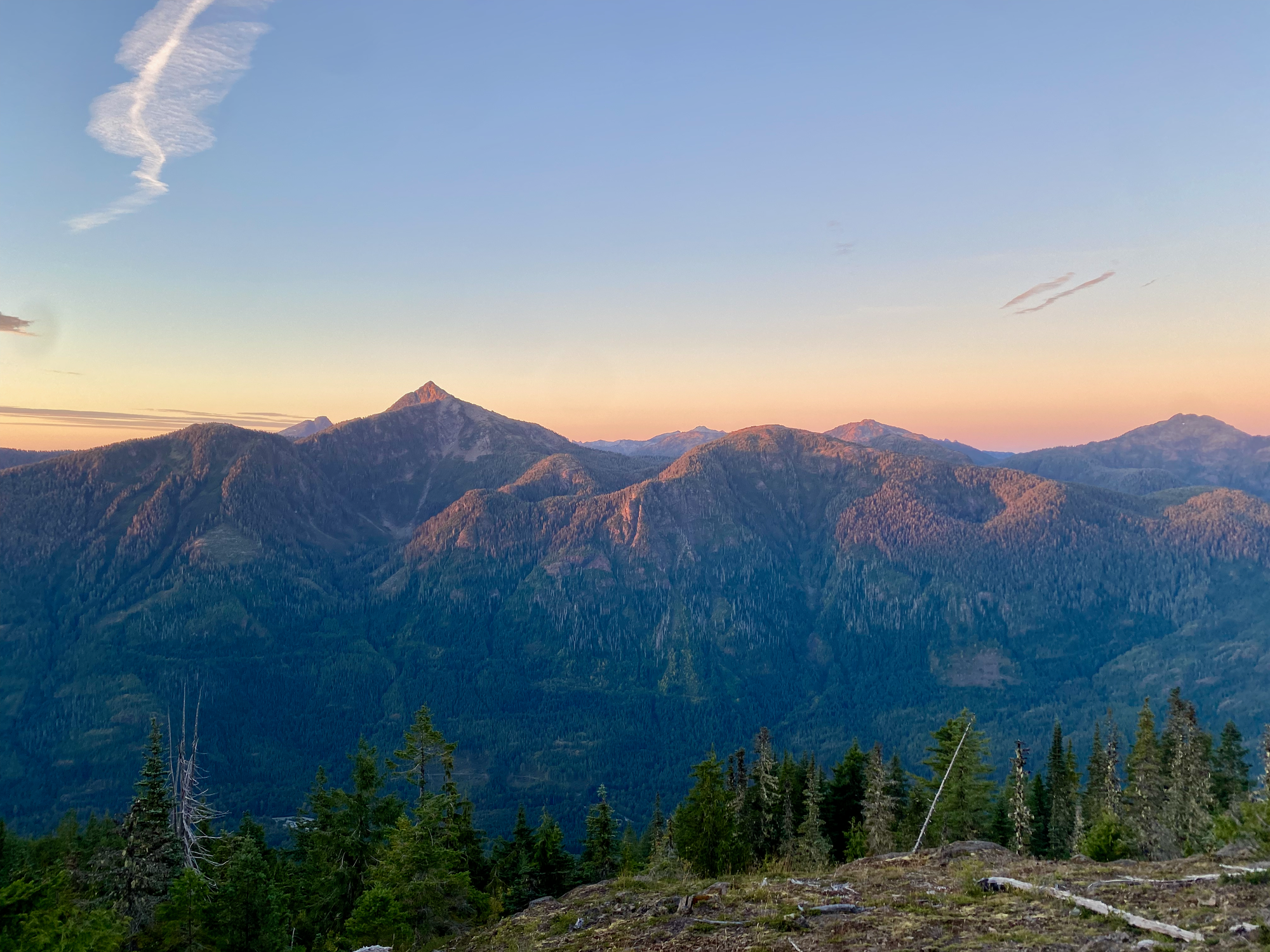
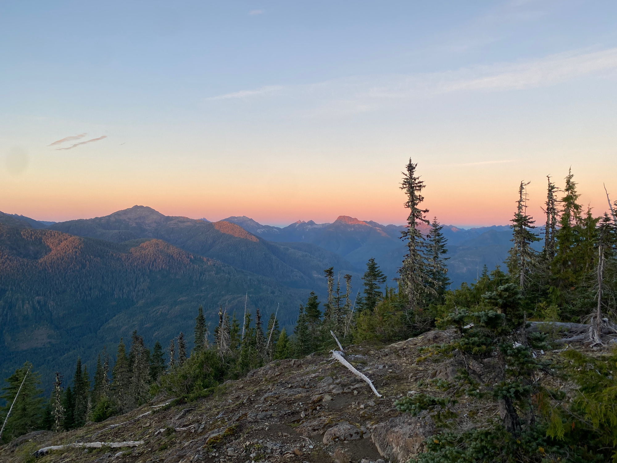
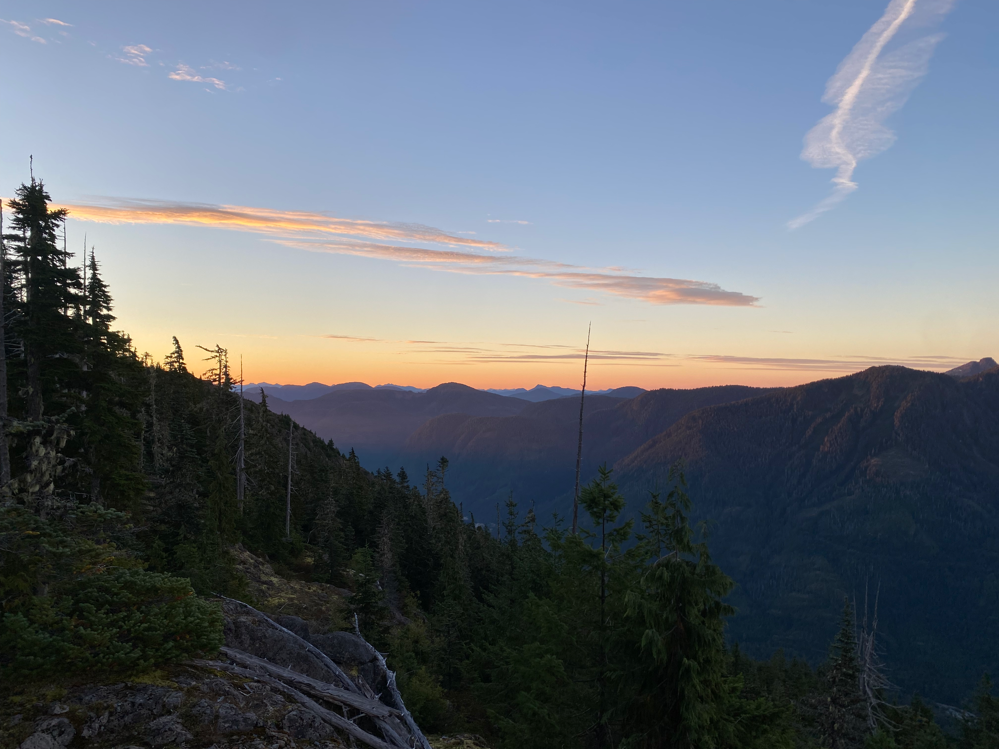
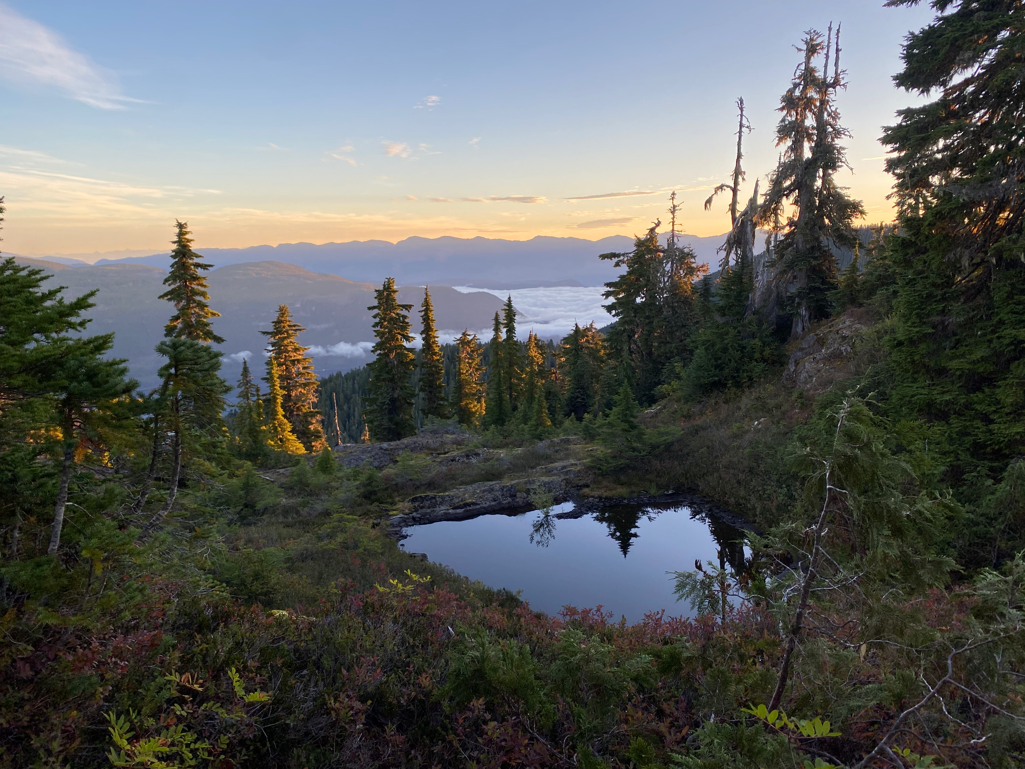
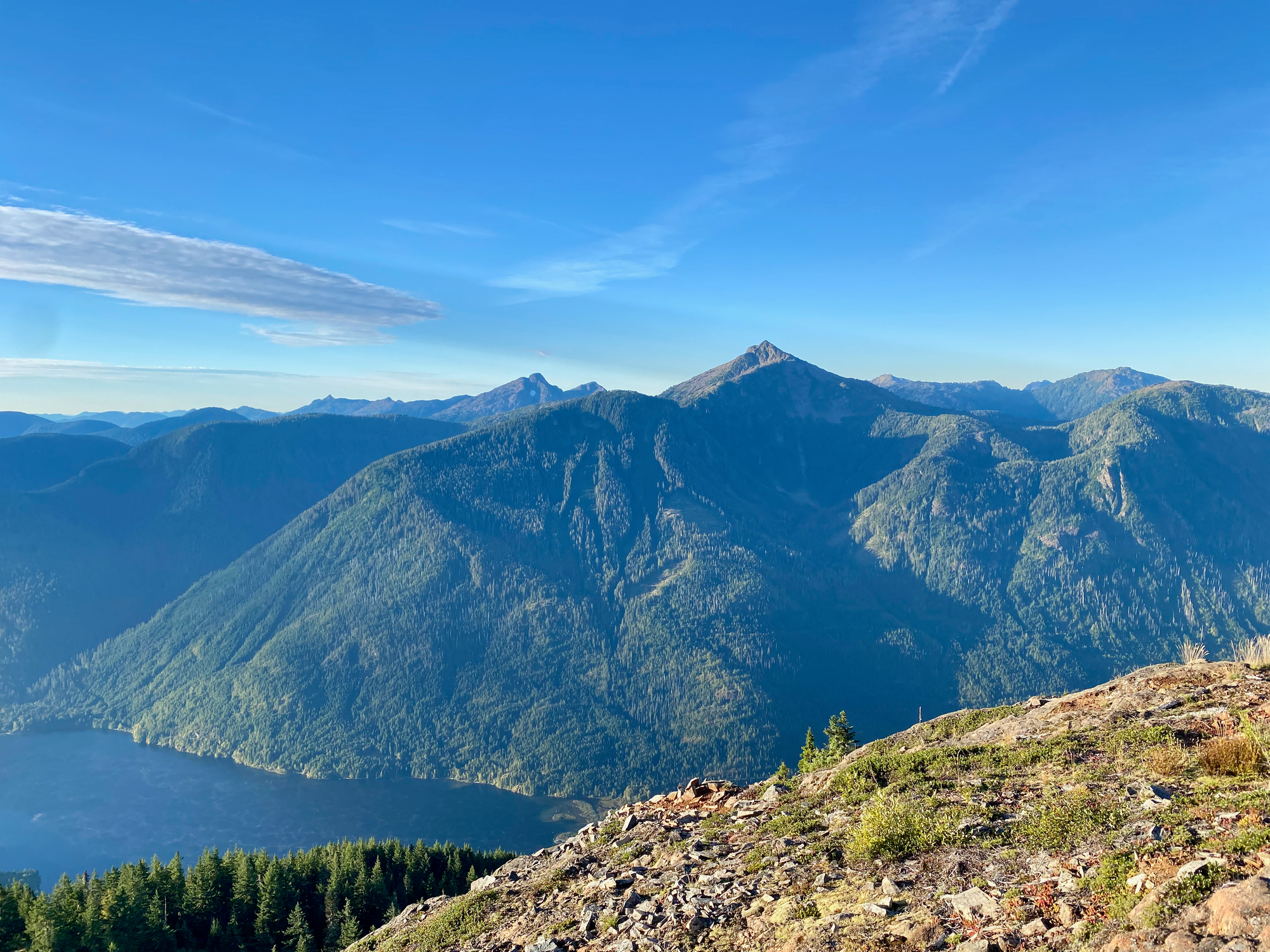
I arrived at Mount Porter about 3km from the car. The mountain has good views to the north and west, a summit register, and an interestingly-designed square repeater tower.
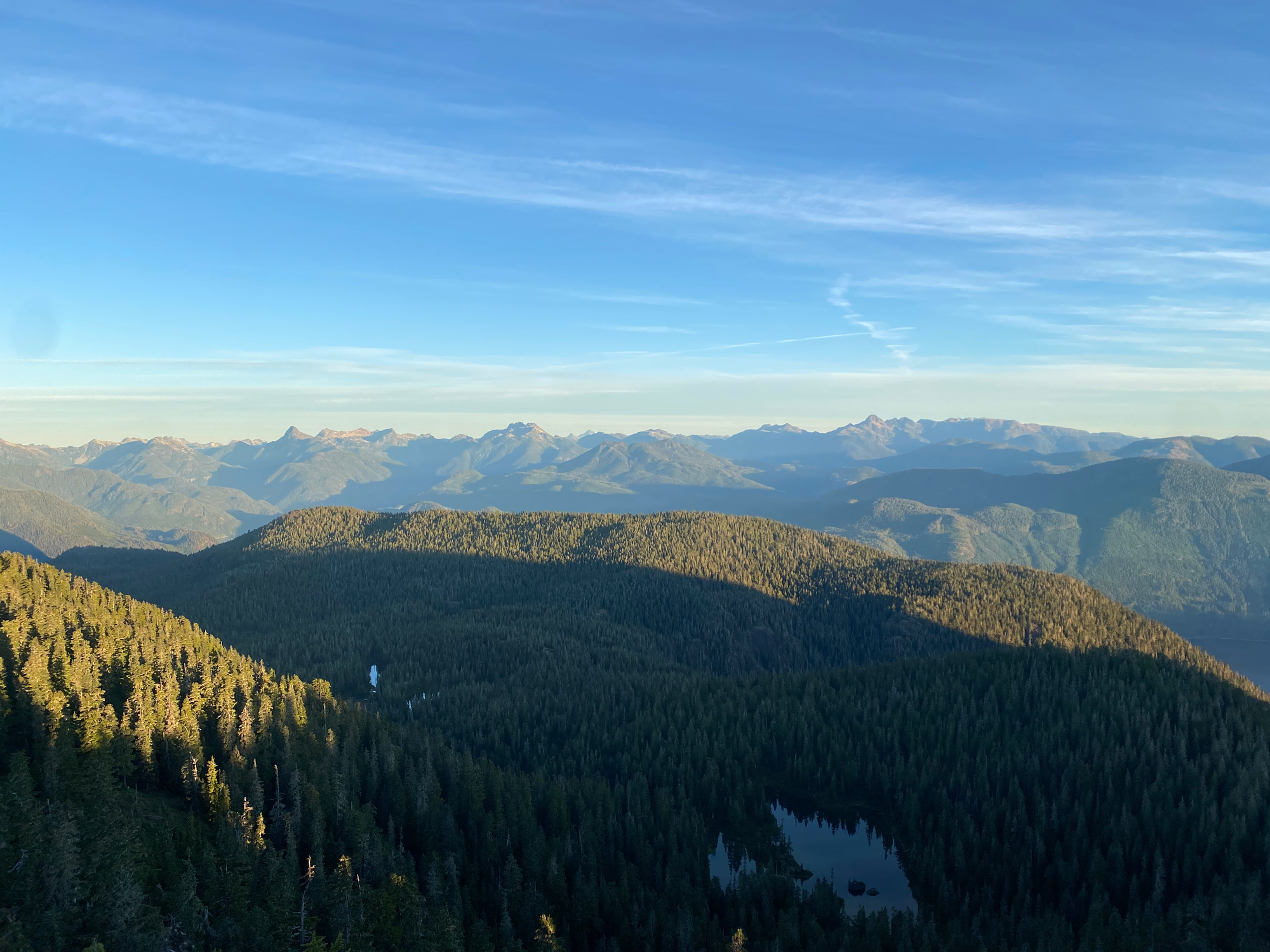
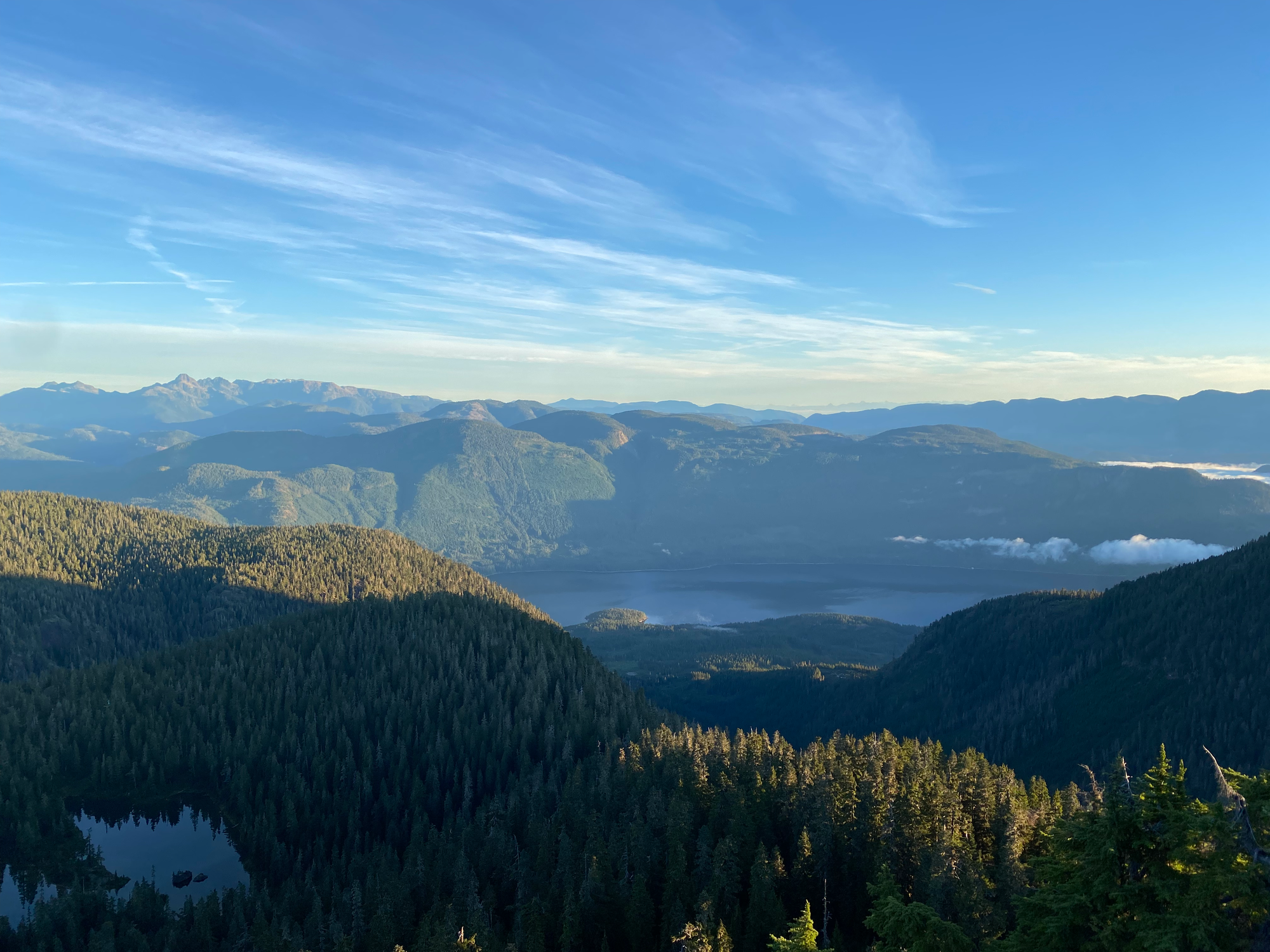
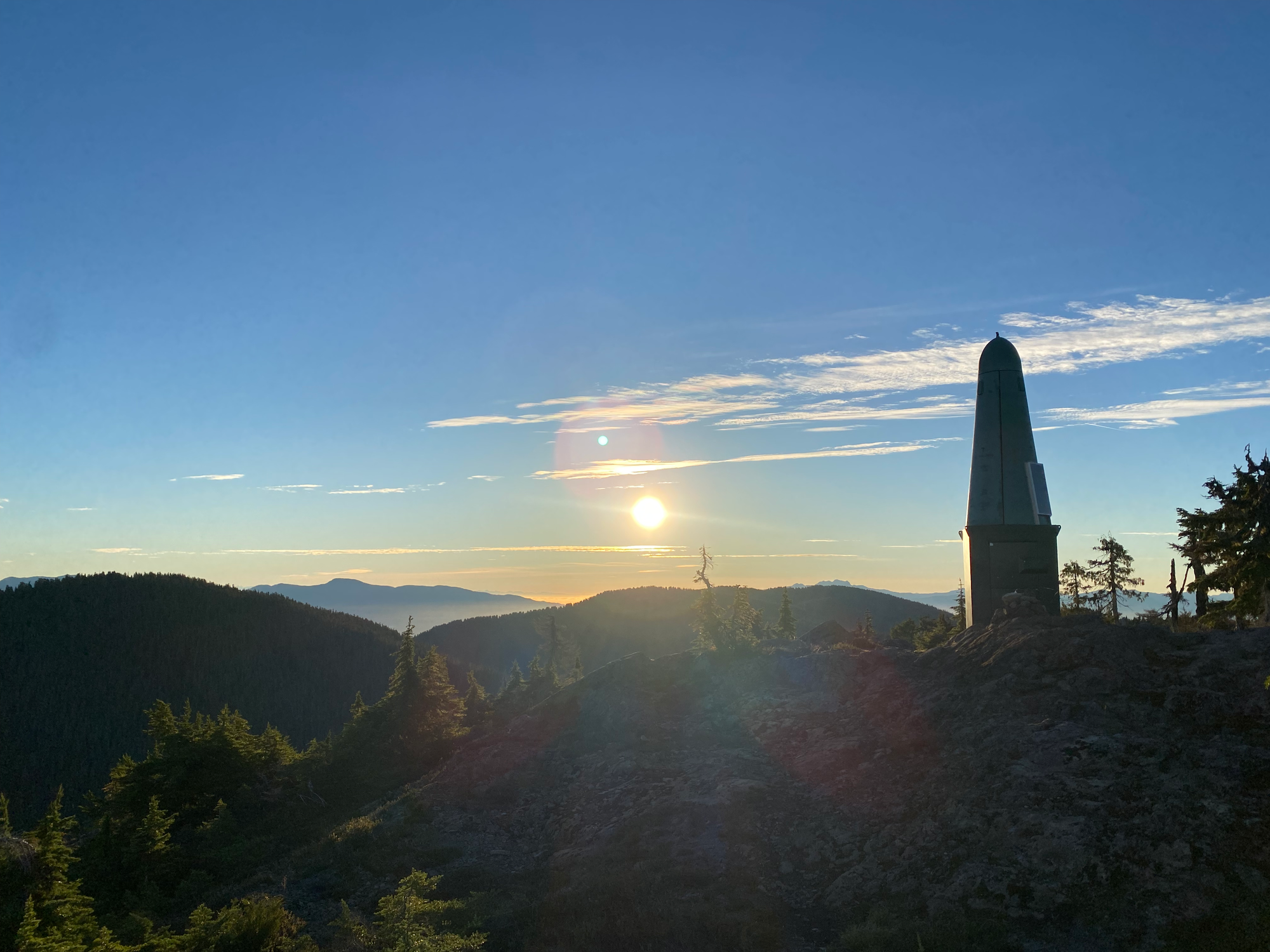
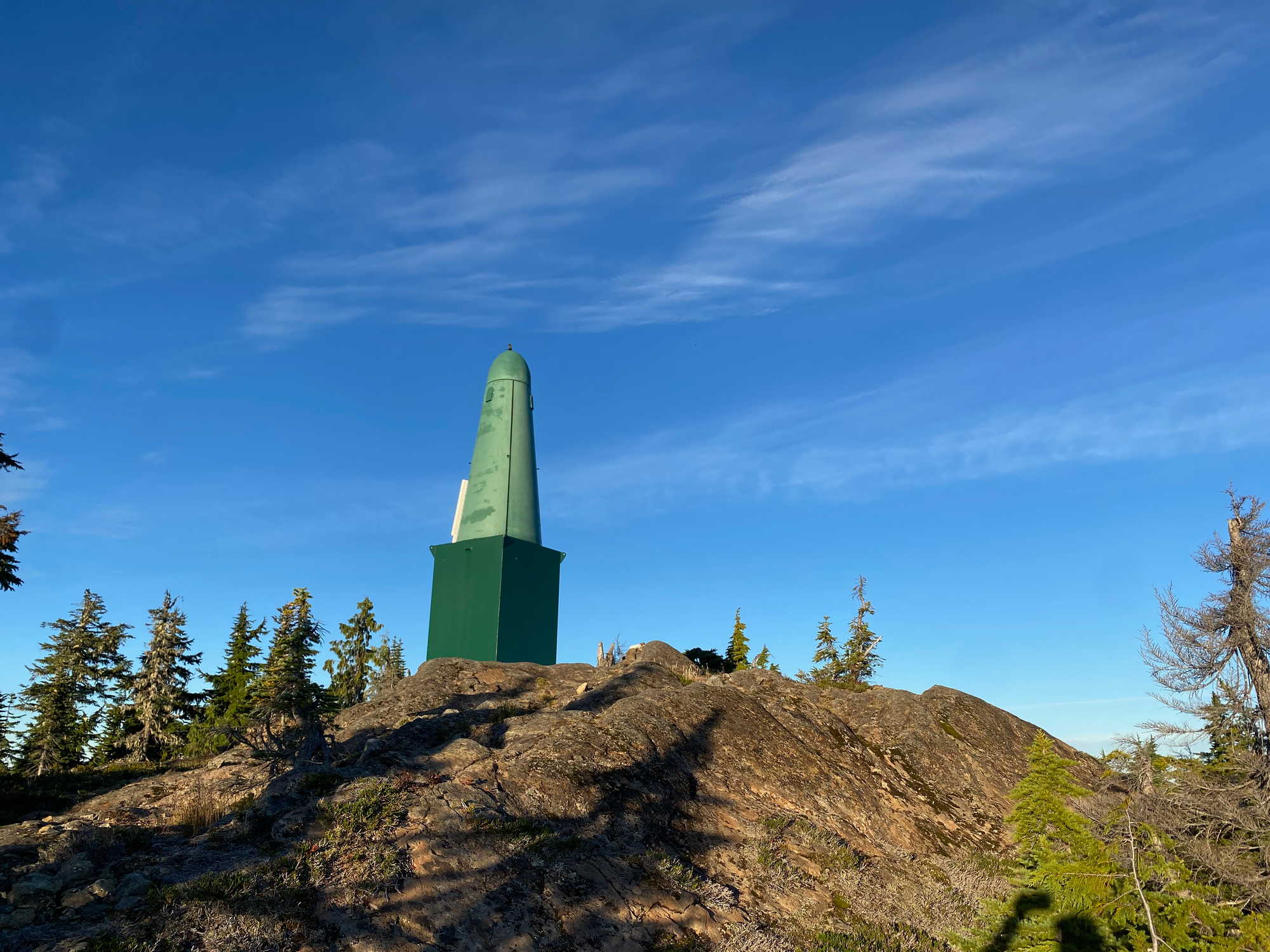
Iron Mountain was a short descent and ascent from Porter. It also offers great but not panoramic views. A bluff to the east of the summit, with front-row seats to Klitsa Mountain and area, would be a good campsite or picnic spot.
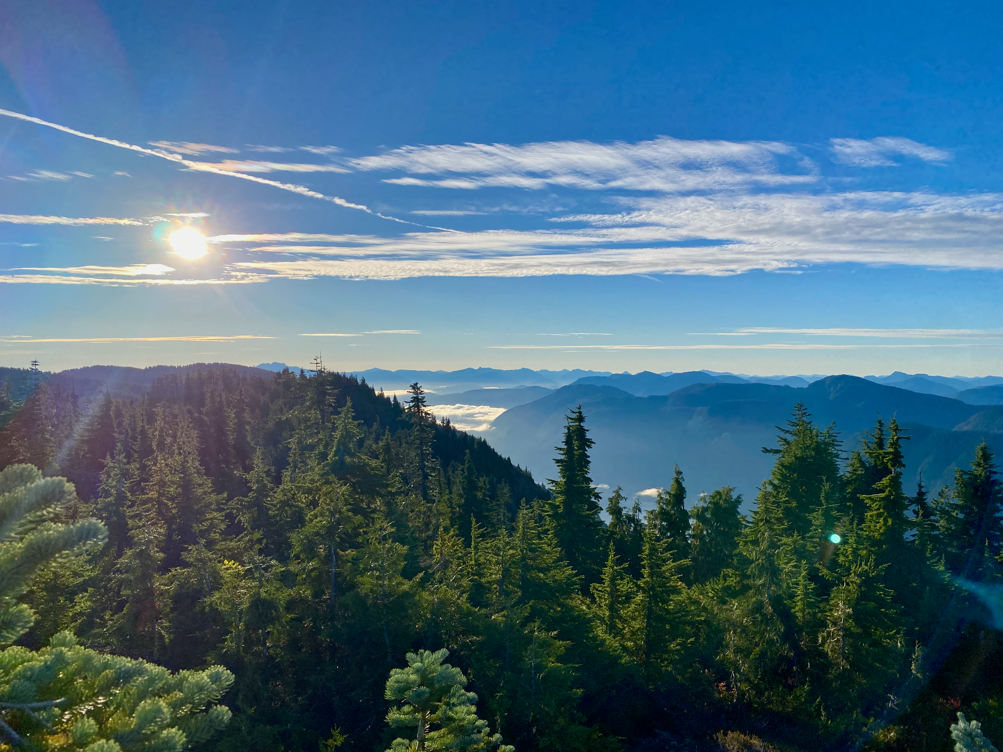
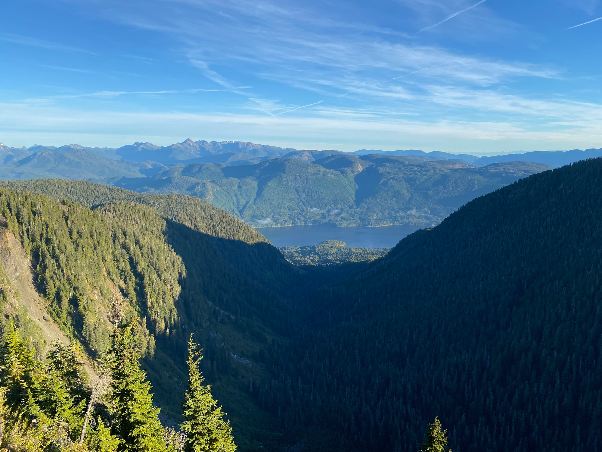
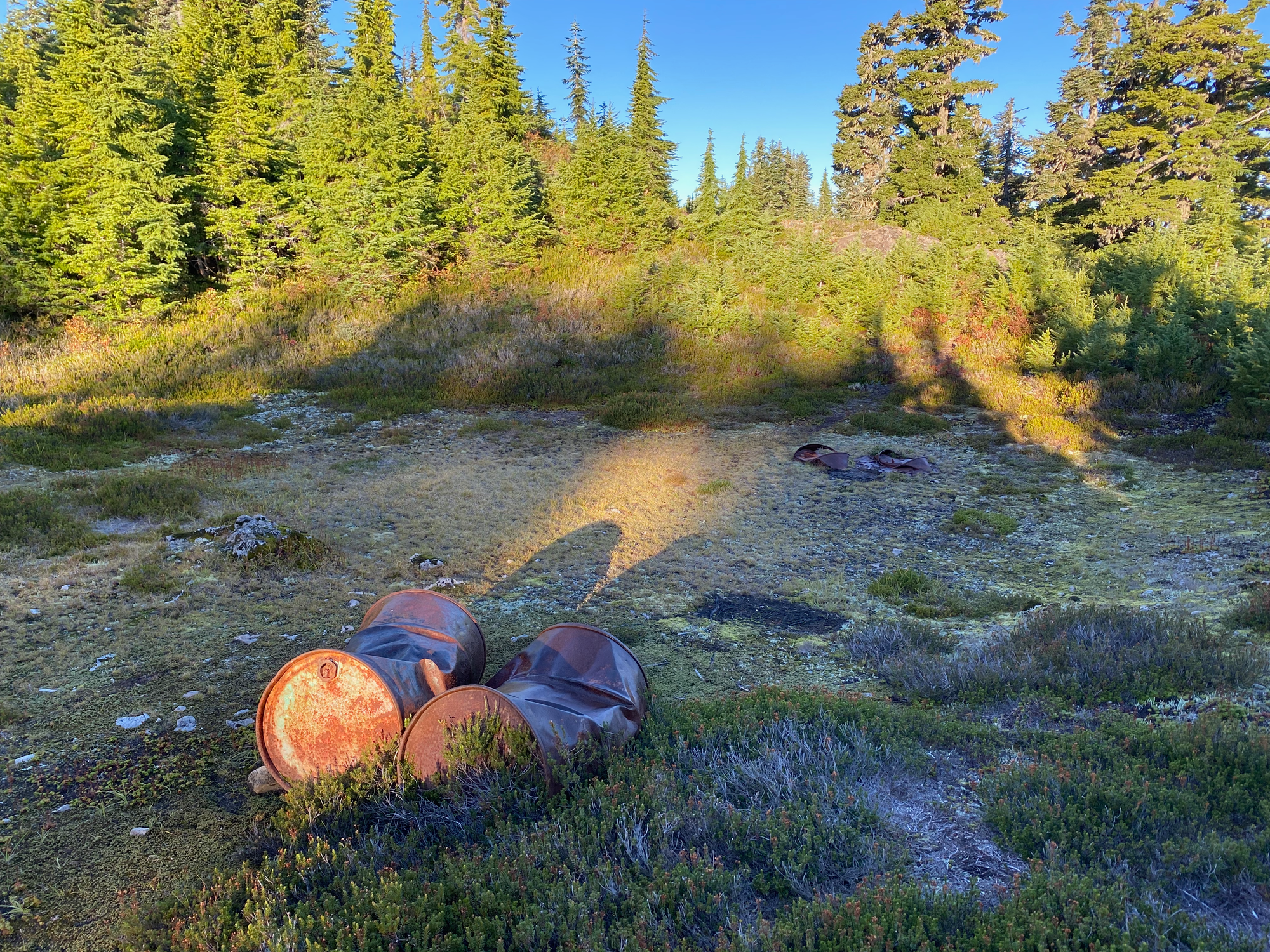
To my surprise, the flagged trail continued to the east. There’s a large clearing a few hundred metres east of Iron’s summit containing several iron barrels, probably the source of the mountain’s name. I wonder if a mining operation was attempted here at some point.
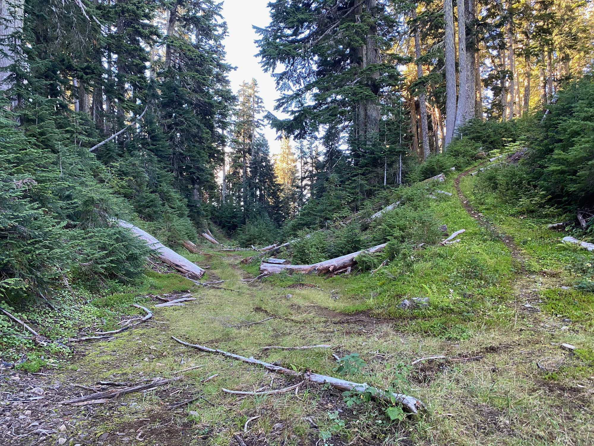
From there, the trail descended to the east before connecting to a recent quad track. There’s another system of logging roads further east and I’m guessing the trail and/or track link up with that. I had no time to investigate, as Great Central Peak beckoned to the north.
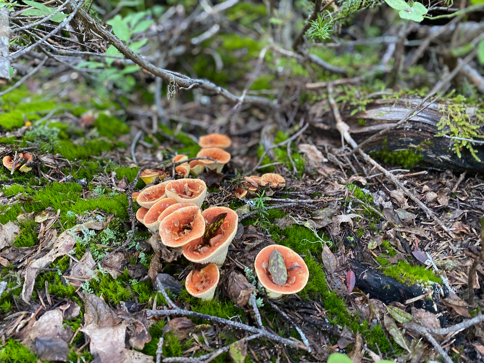
The name “Great Central Peak” conjures up an image of a massive rocky mountain towering over the island. In fact, this peak is unofficially named after the nearby Great Central Lake, and it’s a small forested bump only a couple metres higher than Porter. I bushwhacked north along the gentle, wide ridge that led towards the peak. The forest is old-growth, and a small fire burned much vegetation recently, so the bushwhack was pretty mild by coastal BC standards. At times I followed a very faint trail through the vegetation, probably a bear trail judging by the amount of (fresh!) bear scat. No scrambling was needed (or even possible) except for a very short mossy class 2 section that could easily be bypassed. The summit was a large flat area covered in forest and meadows, with the highpoint marked by a rock cairn. Views were limited but the forest was pleasant.
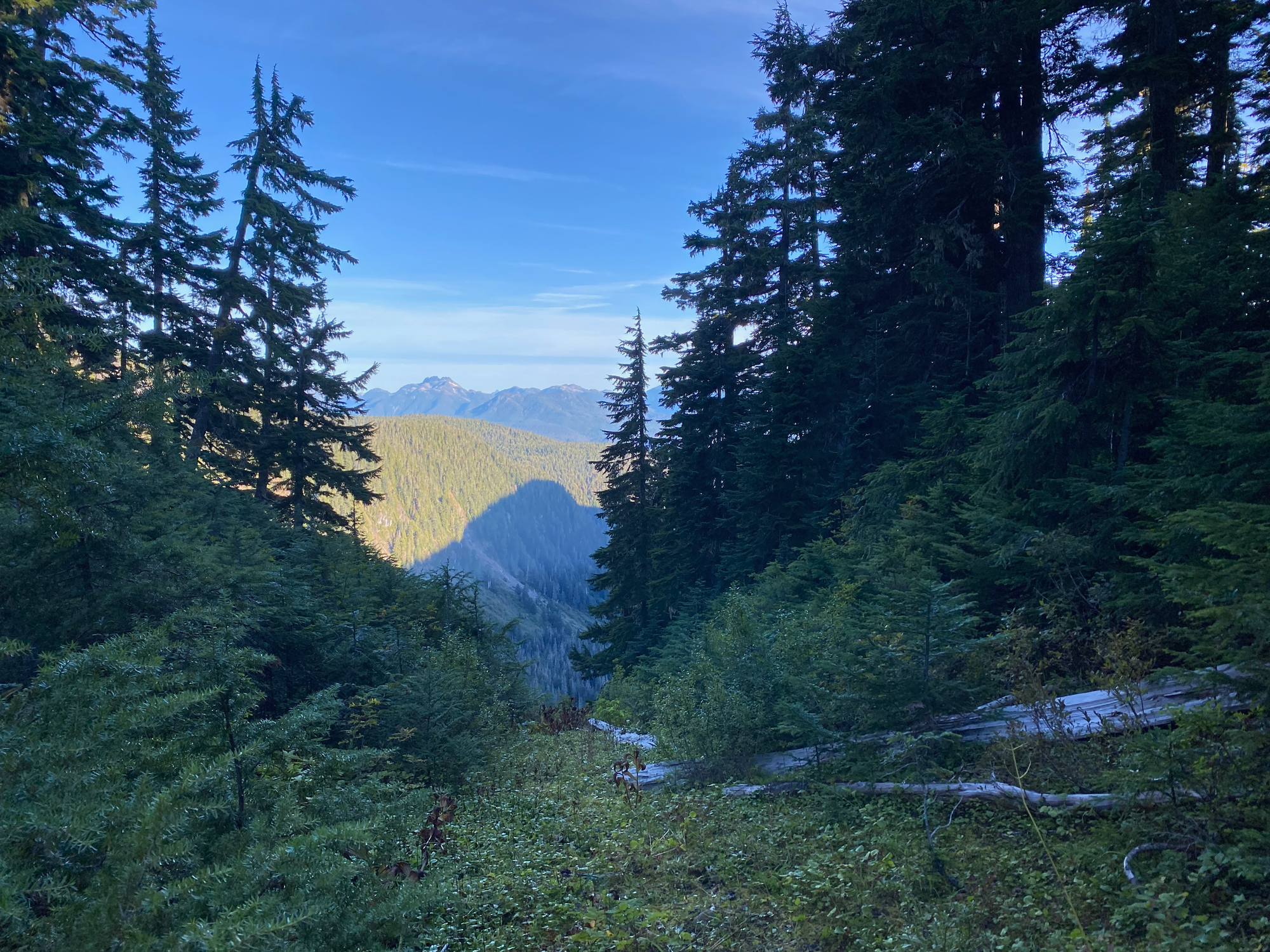
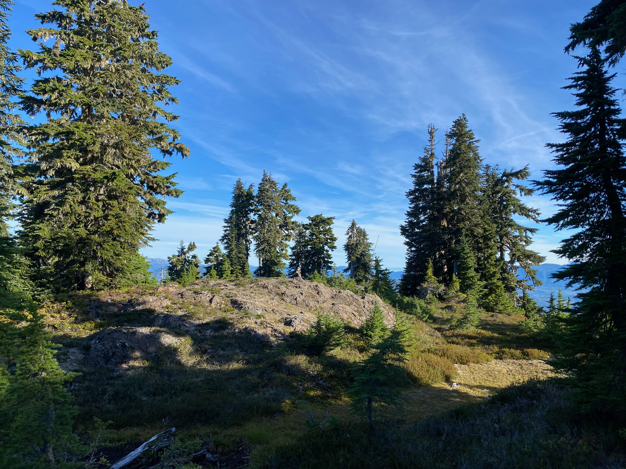
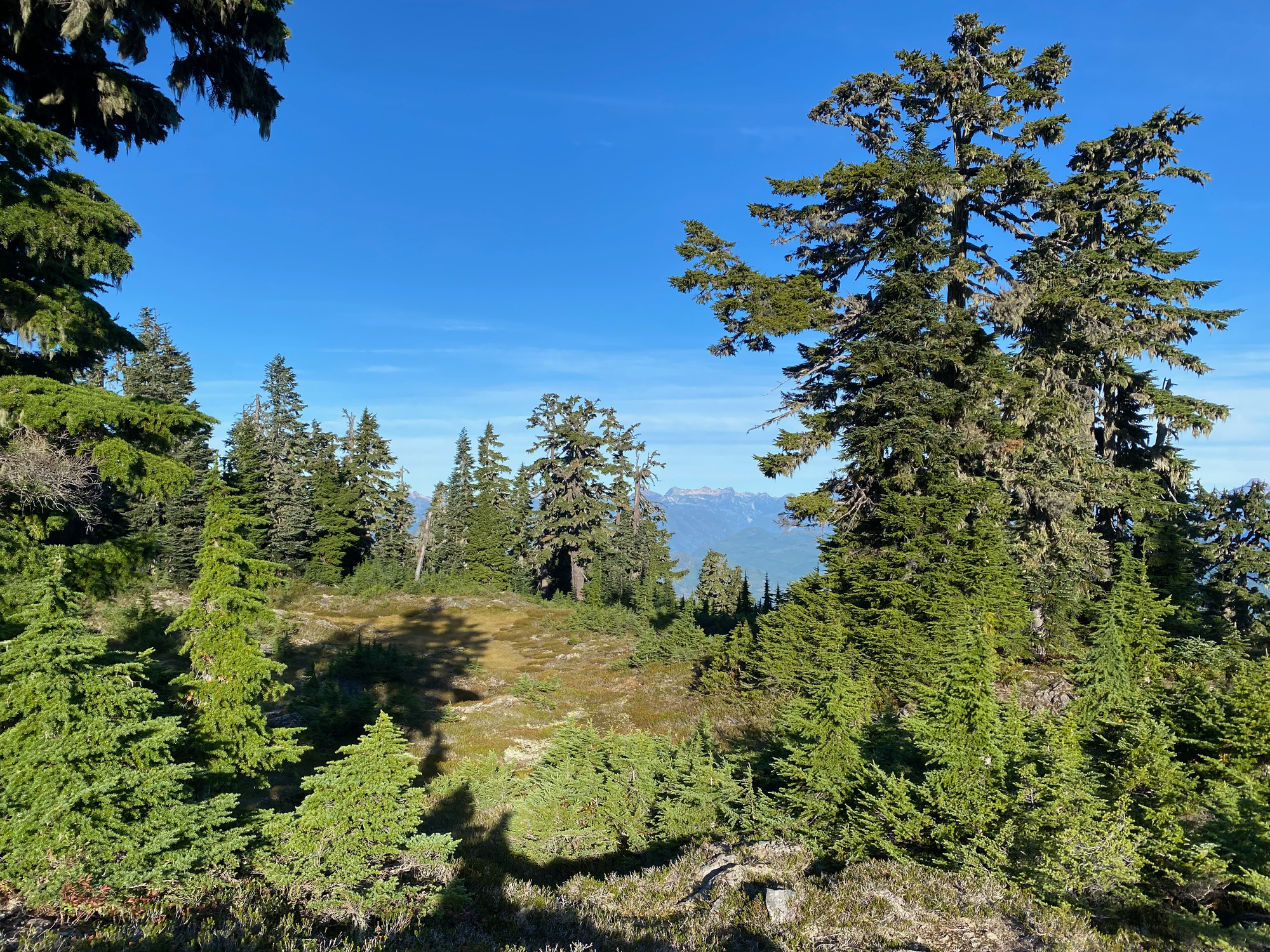
It was time to return to the car. Luckily, once I rejoined the main trail, the surface was ideal for trail running.
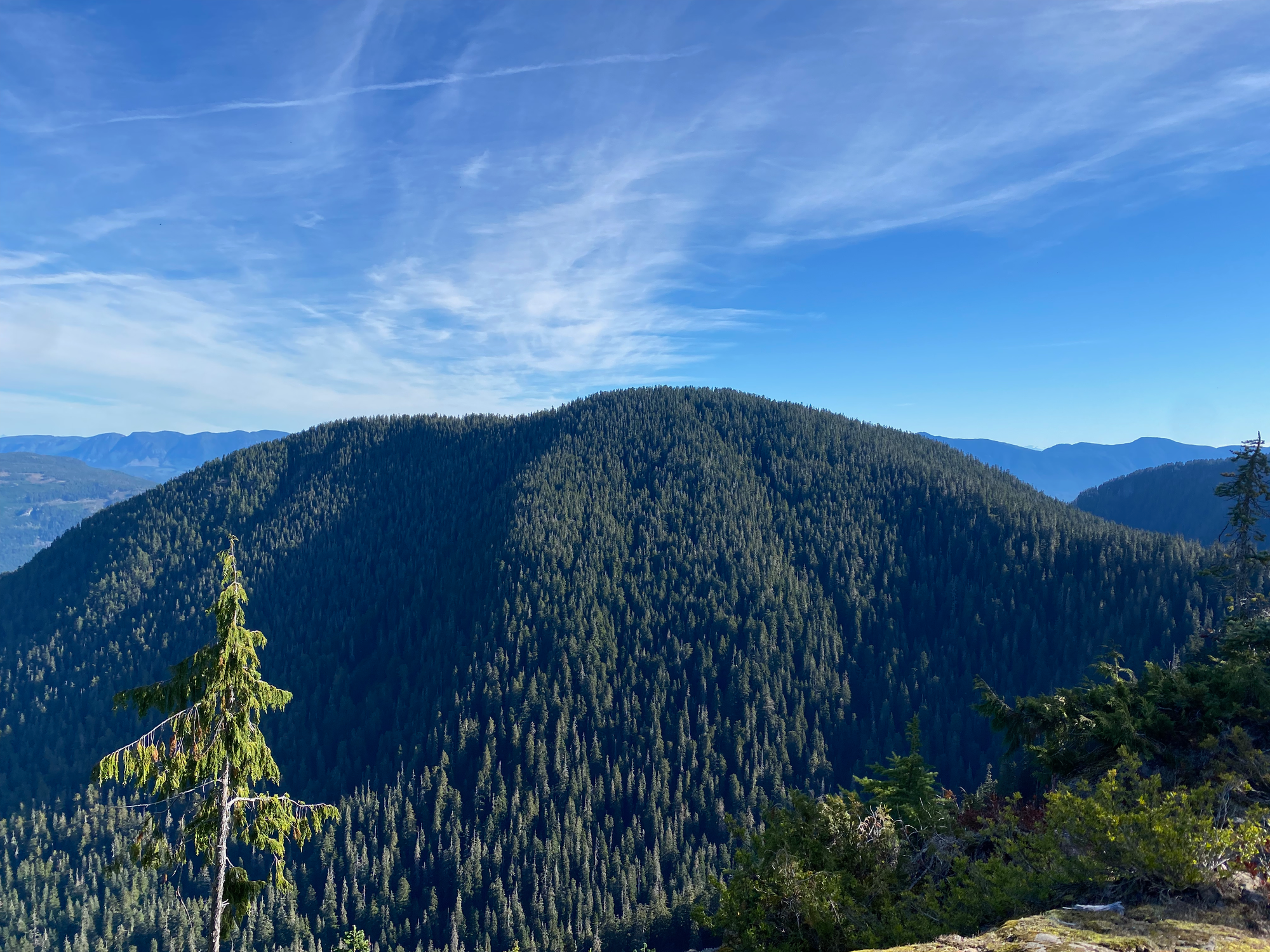
On the way back I was stuck behind hundreds of RVs returning from their vacations in Tofino. Every time I passed one I‘d be free for a few minutes, then the passing lane would end and I’d be stuck behind the next one. Luckily the ferry was quite late so I made it with plenty of time to spare, arriving home just before work started.


Member discussion