Mount Mansfield via Sunset Ridge Trail
Date: January 12, 2024 (Trip report written December 2024)
Distance: 10.4km (winter), 8.6km (summer)
Elevation gain: 890m (winter), 770m (summer)
At 1339 metres, Mount Mansfield is the highest mountain in Vermont, and is one of only two peaks in that state where alpine tundra can be found. As a result, it has expansive panoramic views. As described on Summitpost https://www.summitpost.org/mount-mansfield/150938, there are several routes to the top. We wanted to do a loop involving the Sunset Ridge Trail and Laura Cowles Trail, the two most common routes, but ended up taking the Sunset Ridge Trail both ways.
I was back in Montreal for one more term, with the goal of exploring more of the hikes in the area, so Mount Mansfield seemed like a good destination for a snowshoeing trip. I’d recently joined the McGill Outdoors Club, and was able to find two other hikers, Finn and Hayley, who were also interested.
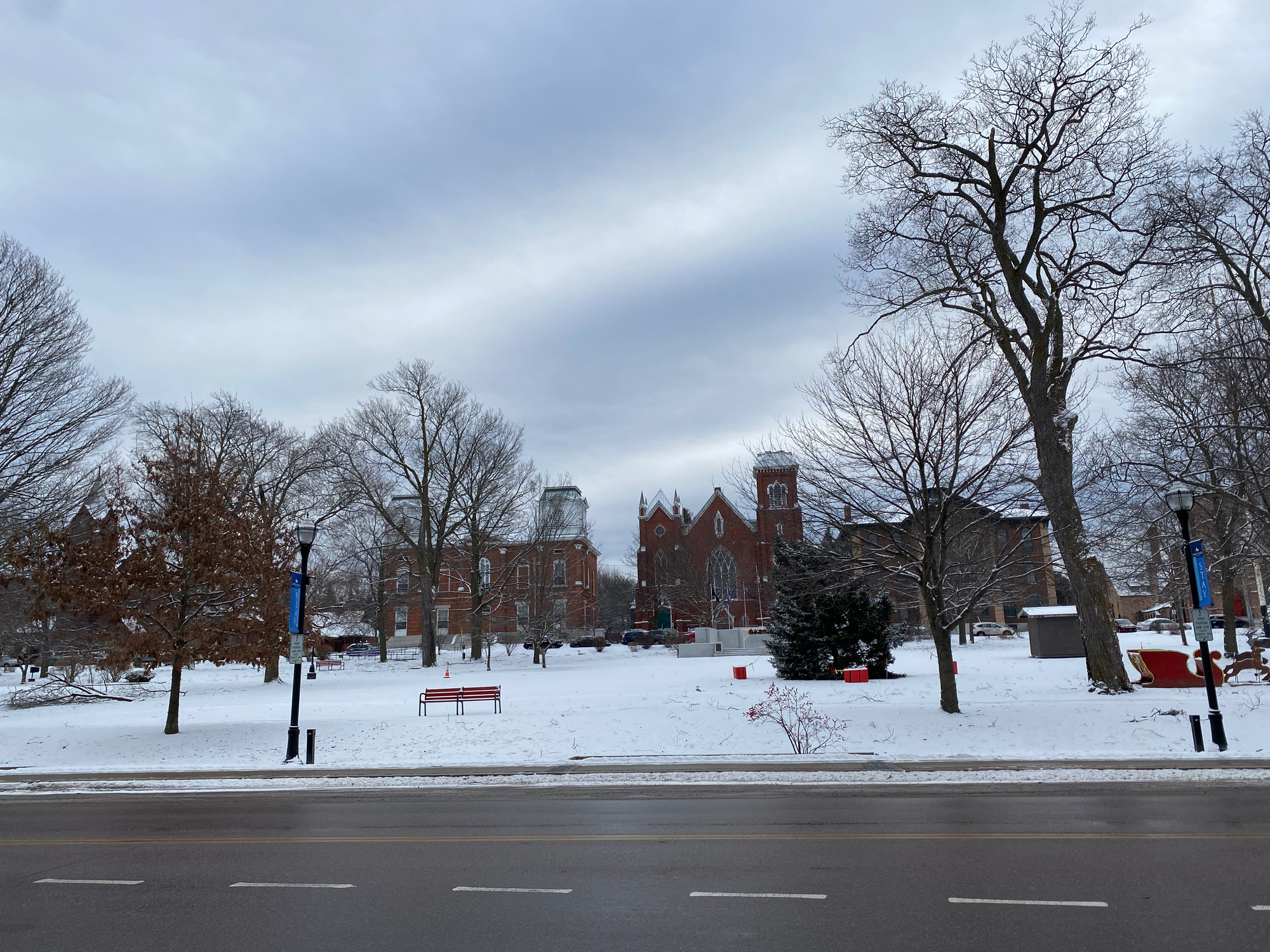
We left Montreal in the morning and headed south, stopping for coffee in St Albans, Vermont, a picturesque town that looks exactly as you’d expect a Vermont town to look.
The trailhead is along the road to Underhill State Park, about two hours away from Montreal without stopping. In winter, the upper part of the road is closed, so hikers must park about 1.1km from the trailhead.
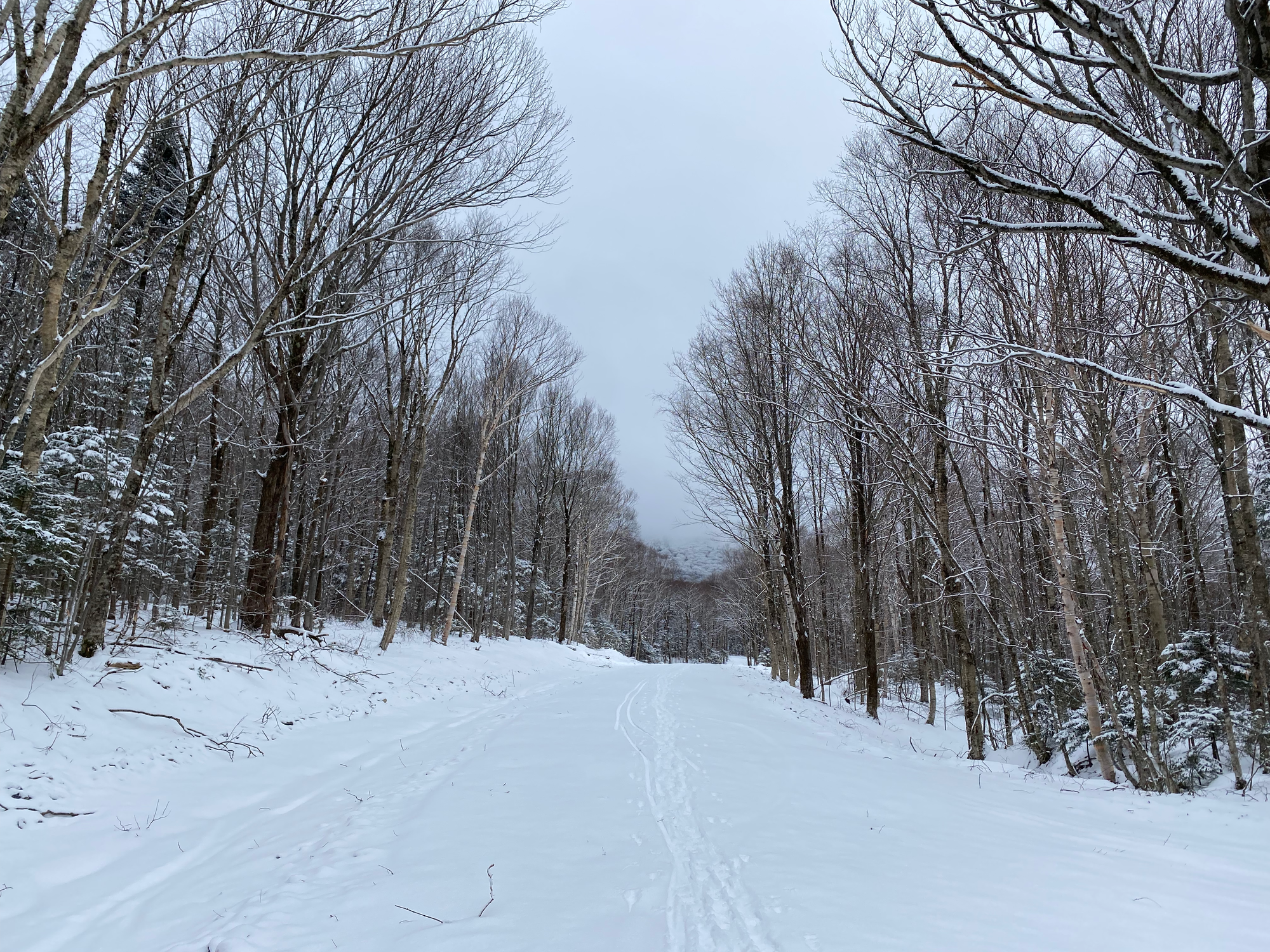
We snowshoed up the closed road, then kept going along a former logging road. For this stretch, you could either follow the logging road, or take a trail that shortcuts between the switchbacks.
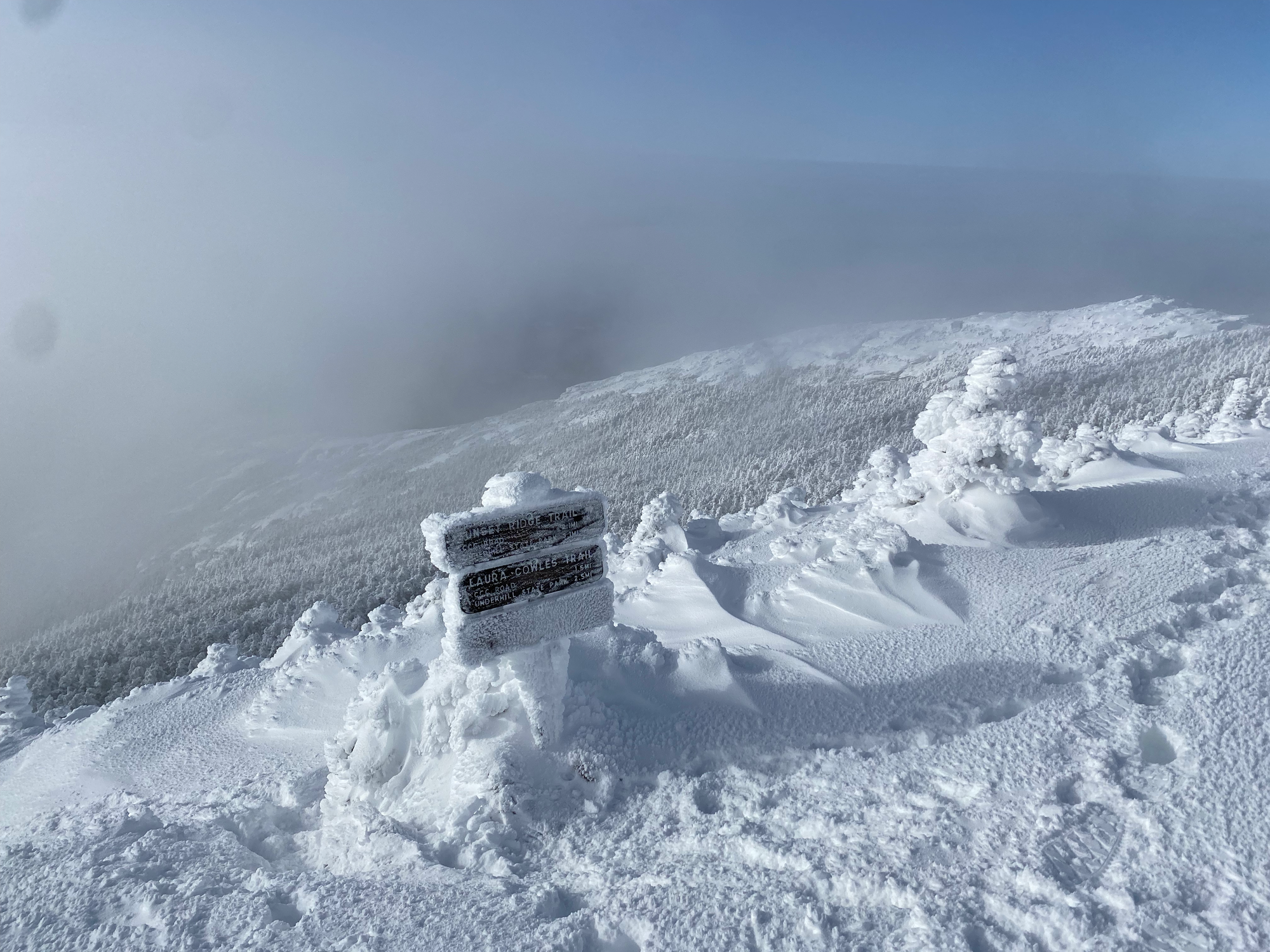
We soon came to the junction with the Laura Cowles Trail, marked with a sign. It wasn't broken out, so we decided to stay on the Sunset Ridge Trail both ways.
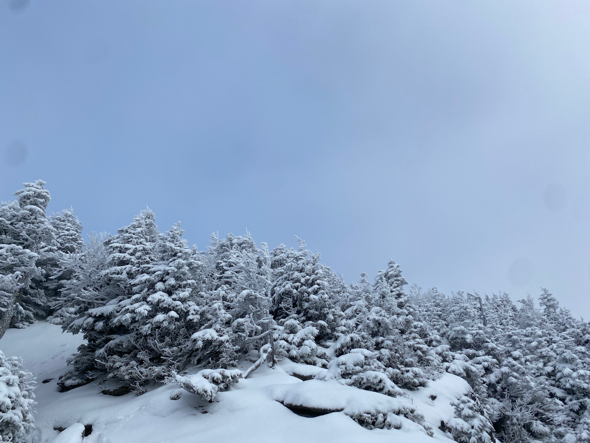
The Sunset Ridge Trail switchbacks up the mountain, reaching the ridge at 1050m. Once on the ridge, there were several open areas exposed to the clouds and wind, with occasional snow. Some steep areas required us to grab branches and rocks for support. As we ascended, the trees thinned out, and the weather became even colder.
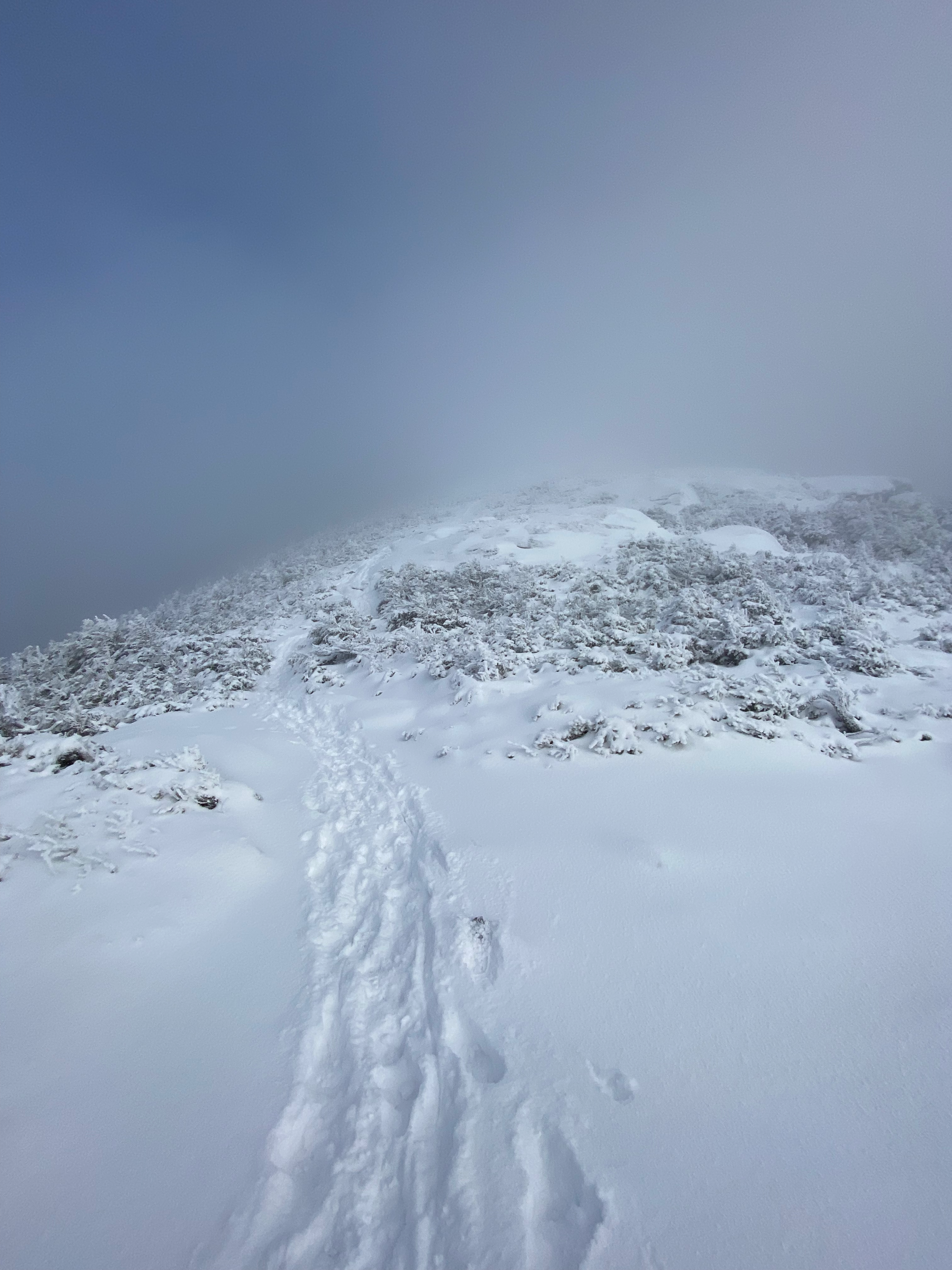
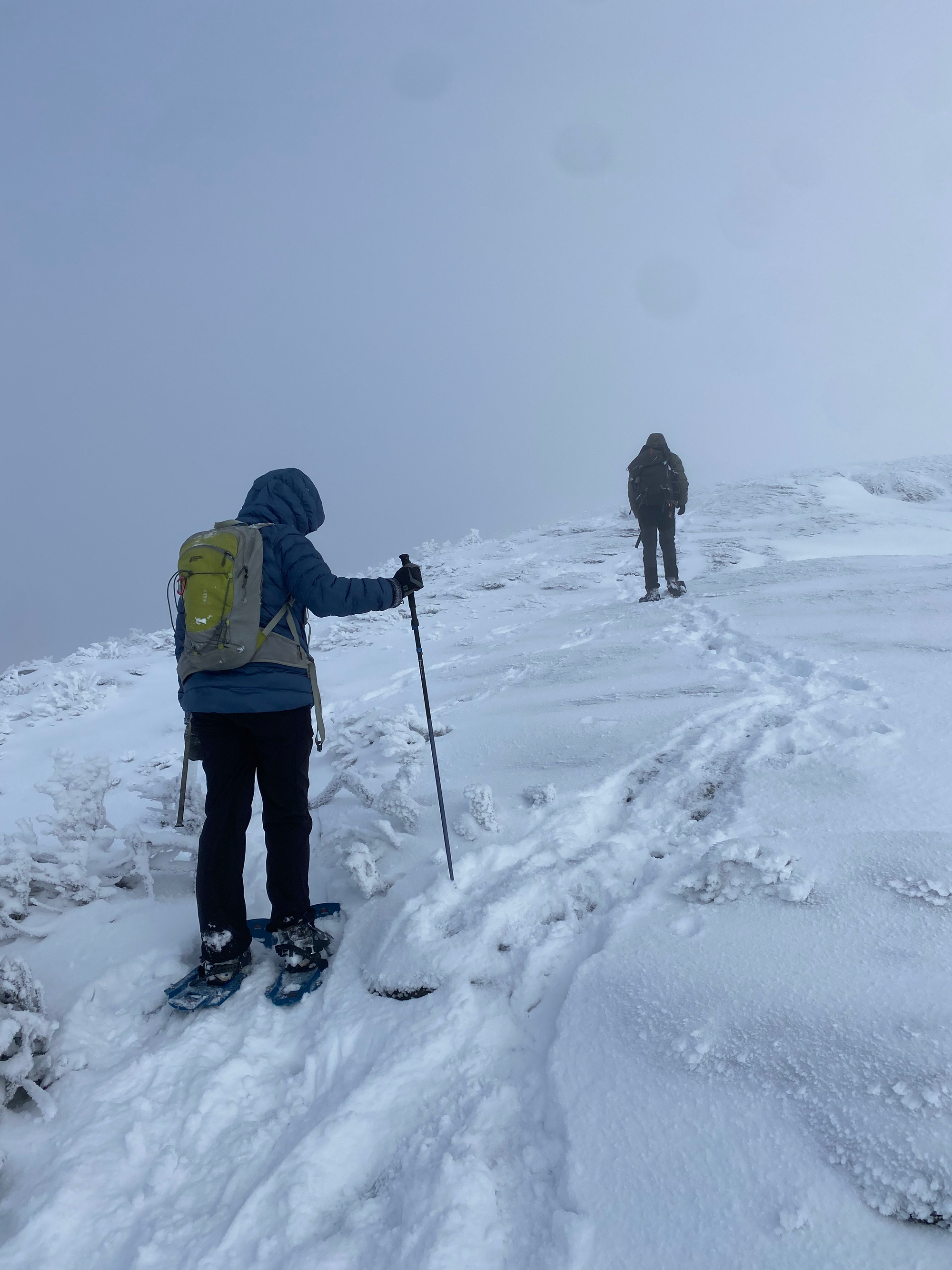
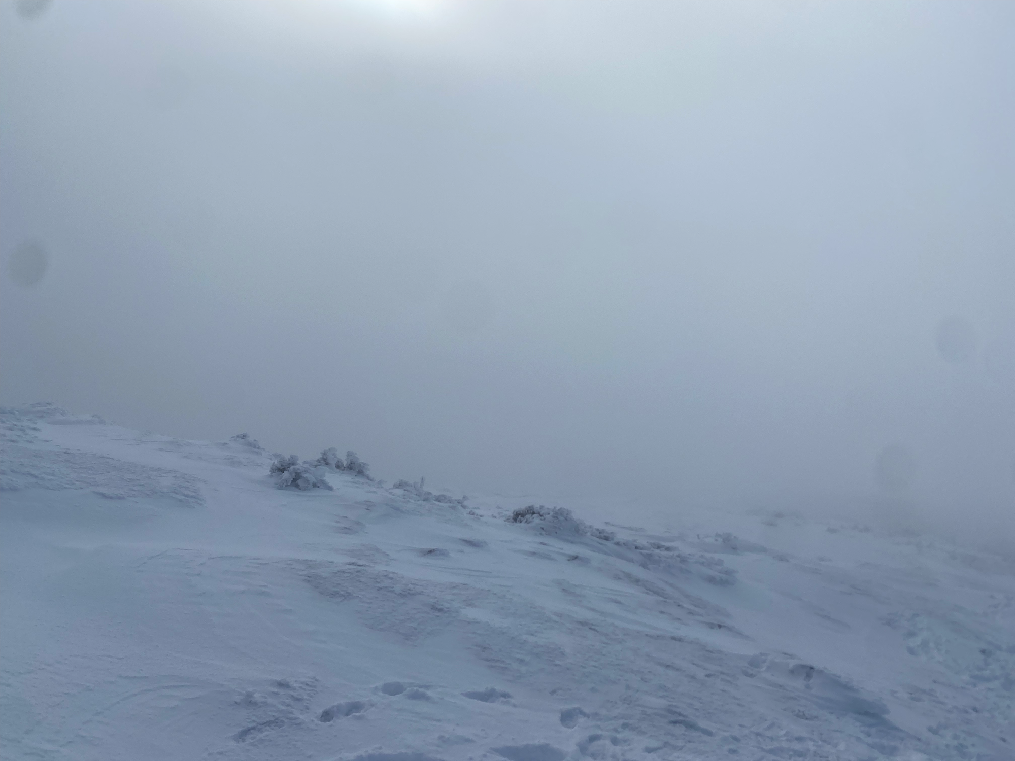
The trail traversed the southwestern face of the mountain, intersected with the Laura Cowles Trail, then reached the Long Trail, a 439km thru-hiking trail that includes the summit of Mount Mansfield.
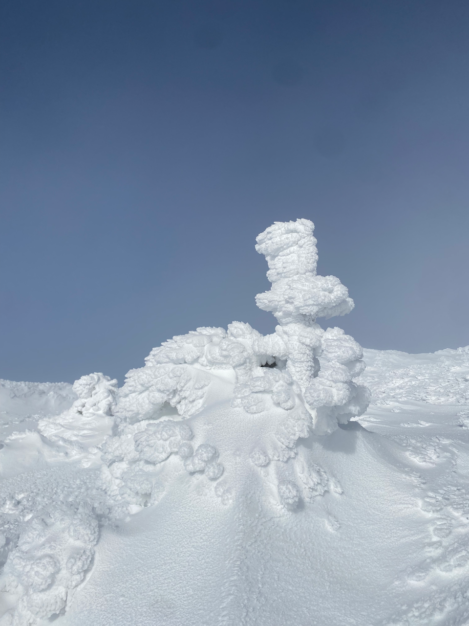
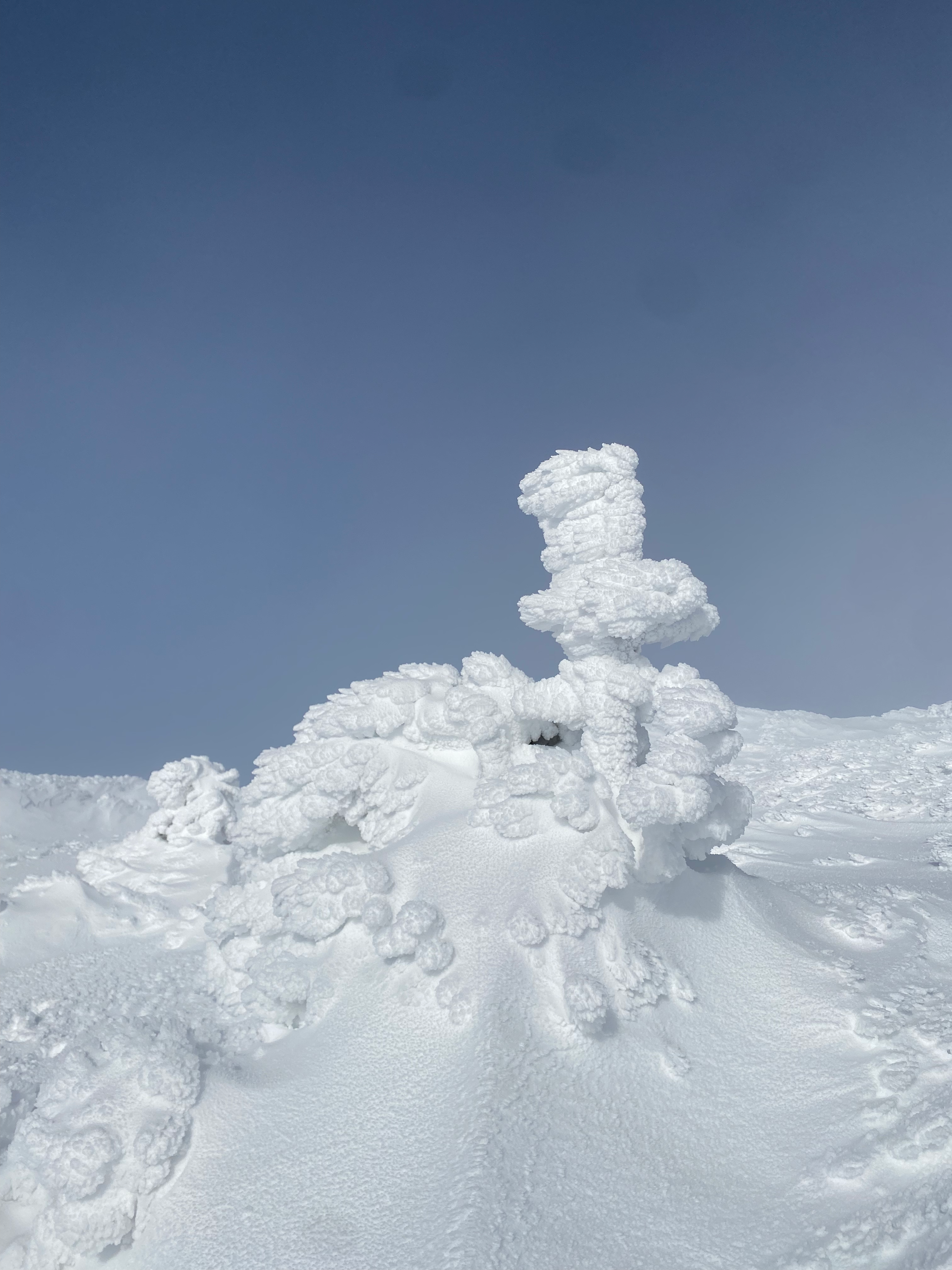
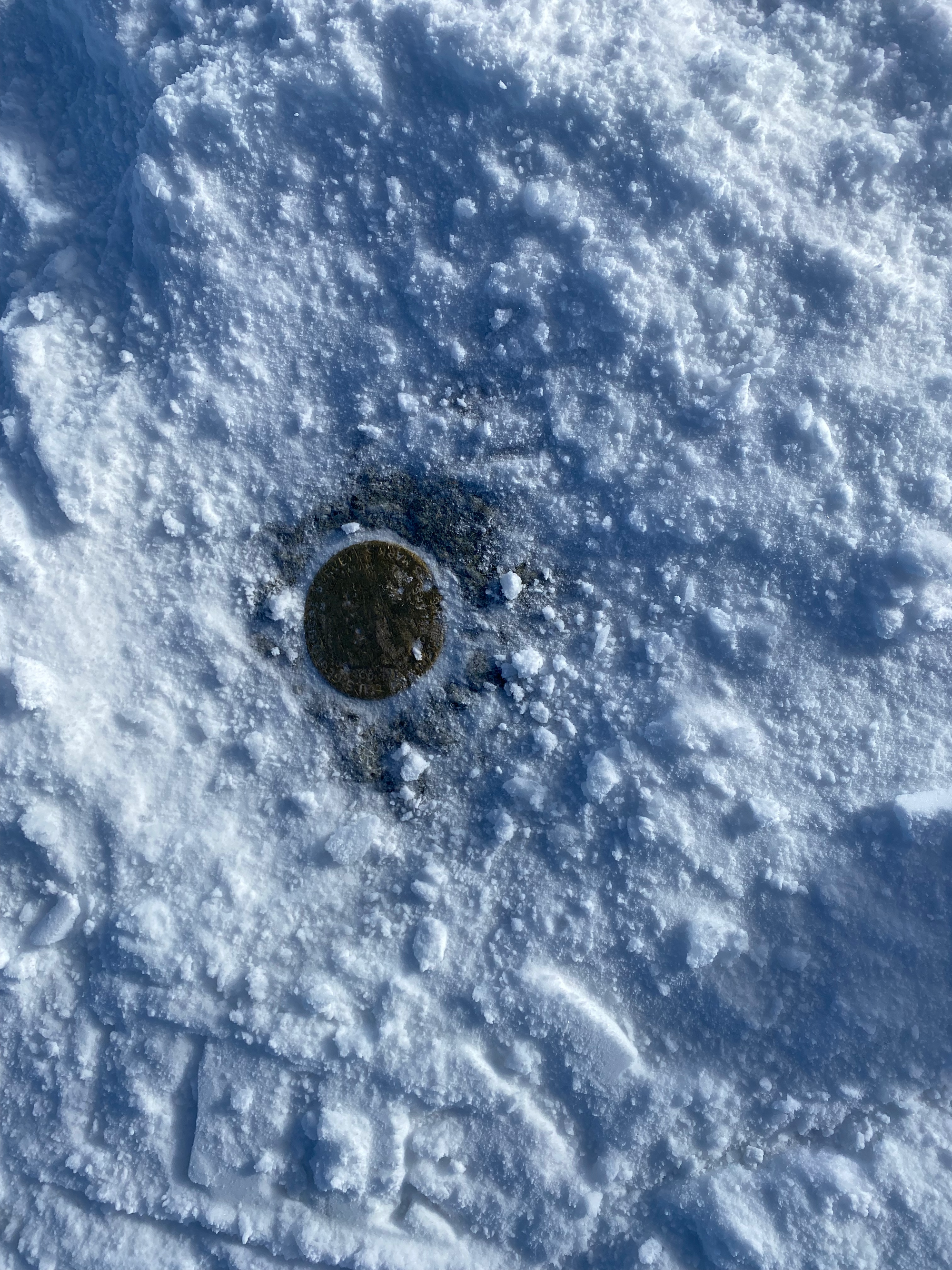
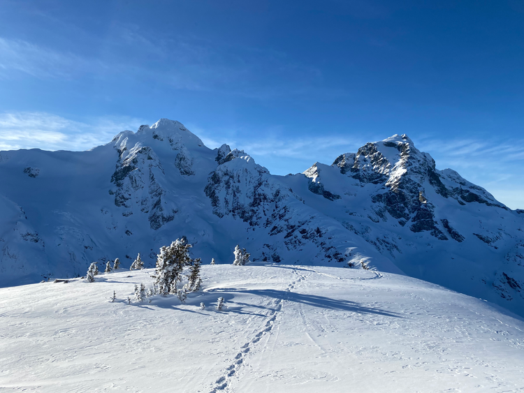
I continued 200m north to the summit. This section was extremely windy and cold. Snow had gathered around the stunted trees, creating a scene out of a Star Wars movie set. I hung out on the summit for about five minutes, walking around to stay warm, before heading down. On the way down, the clouds started to clear.
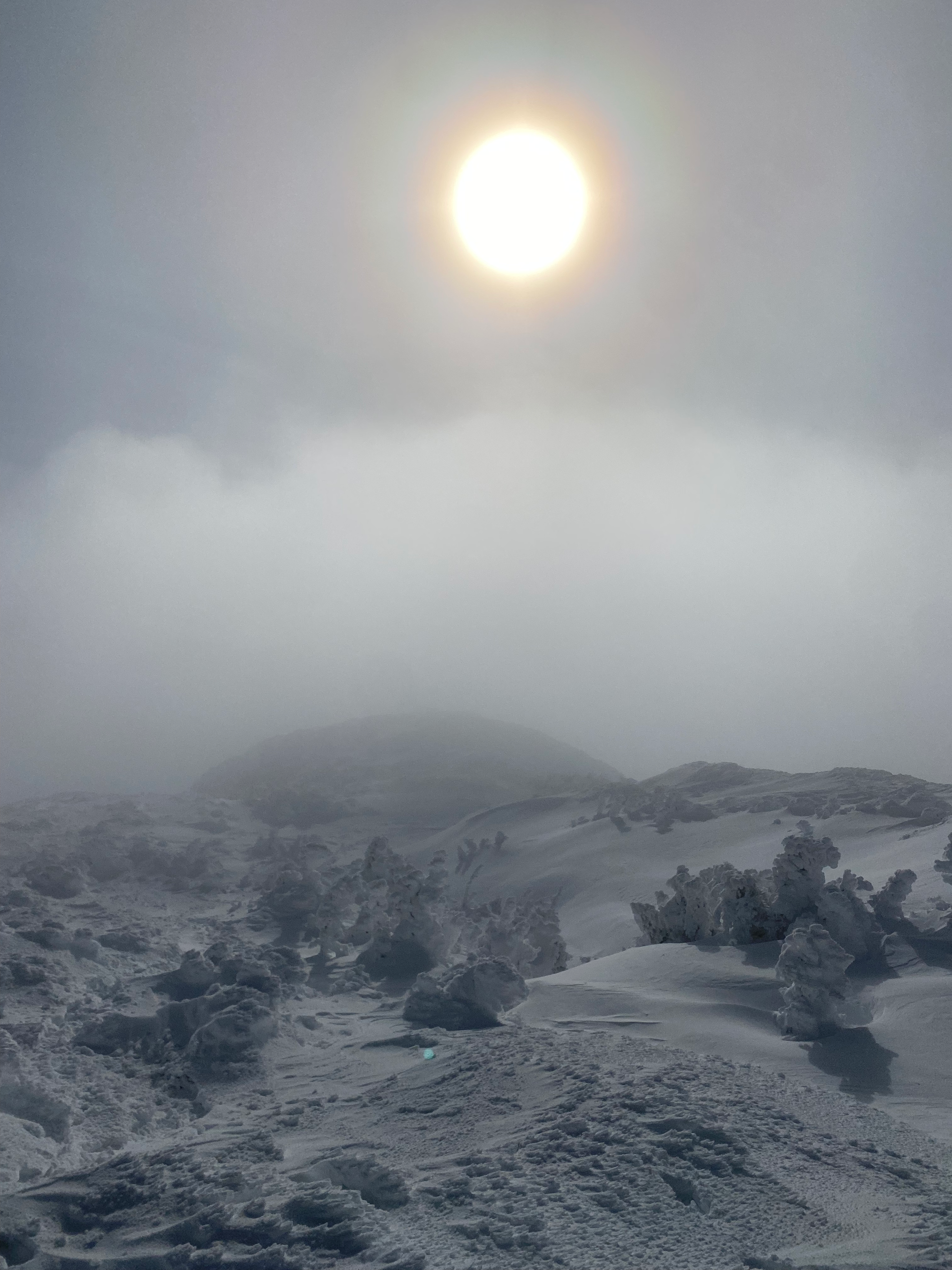
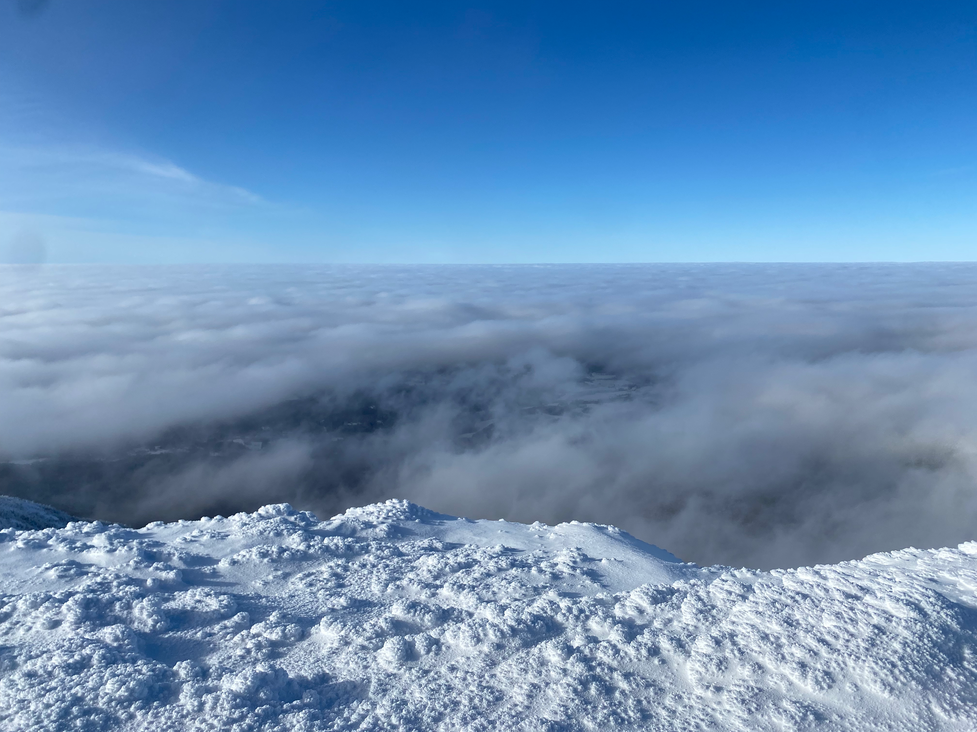
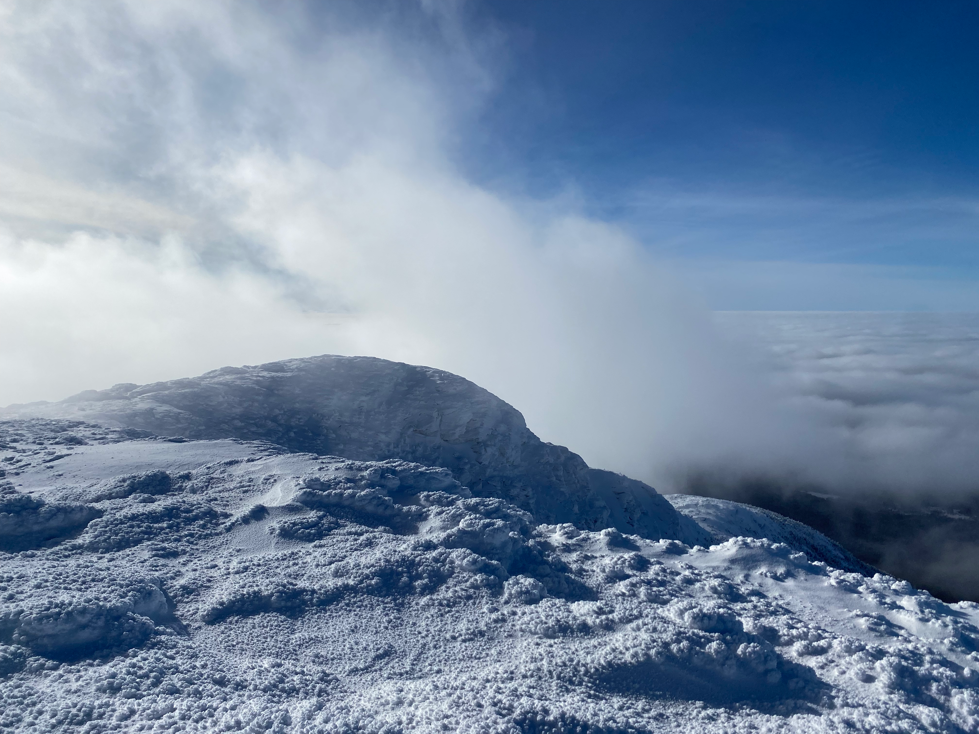
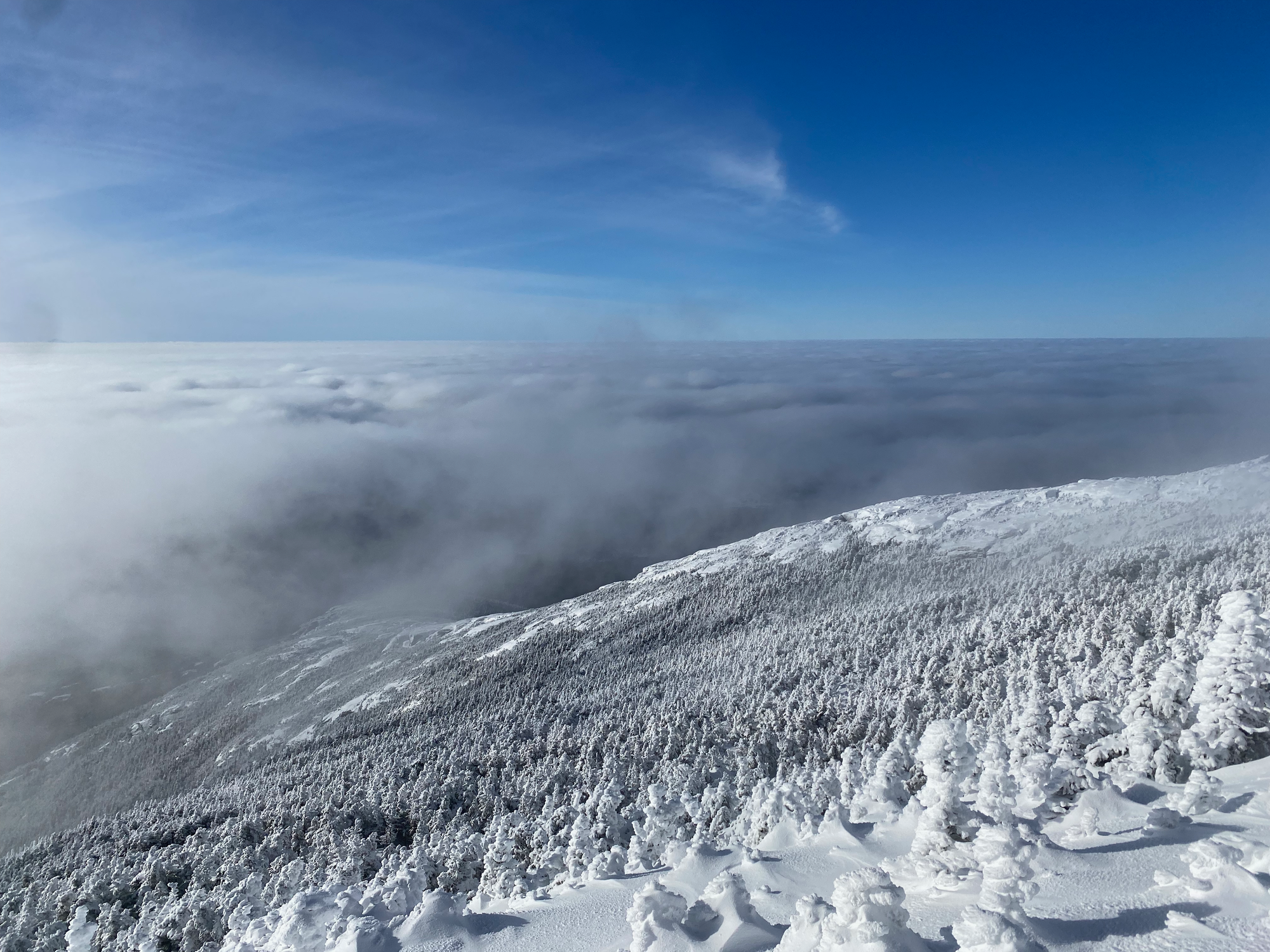
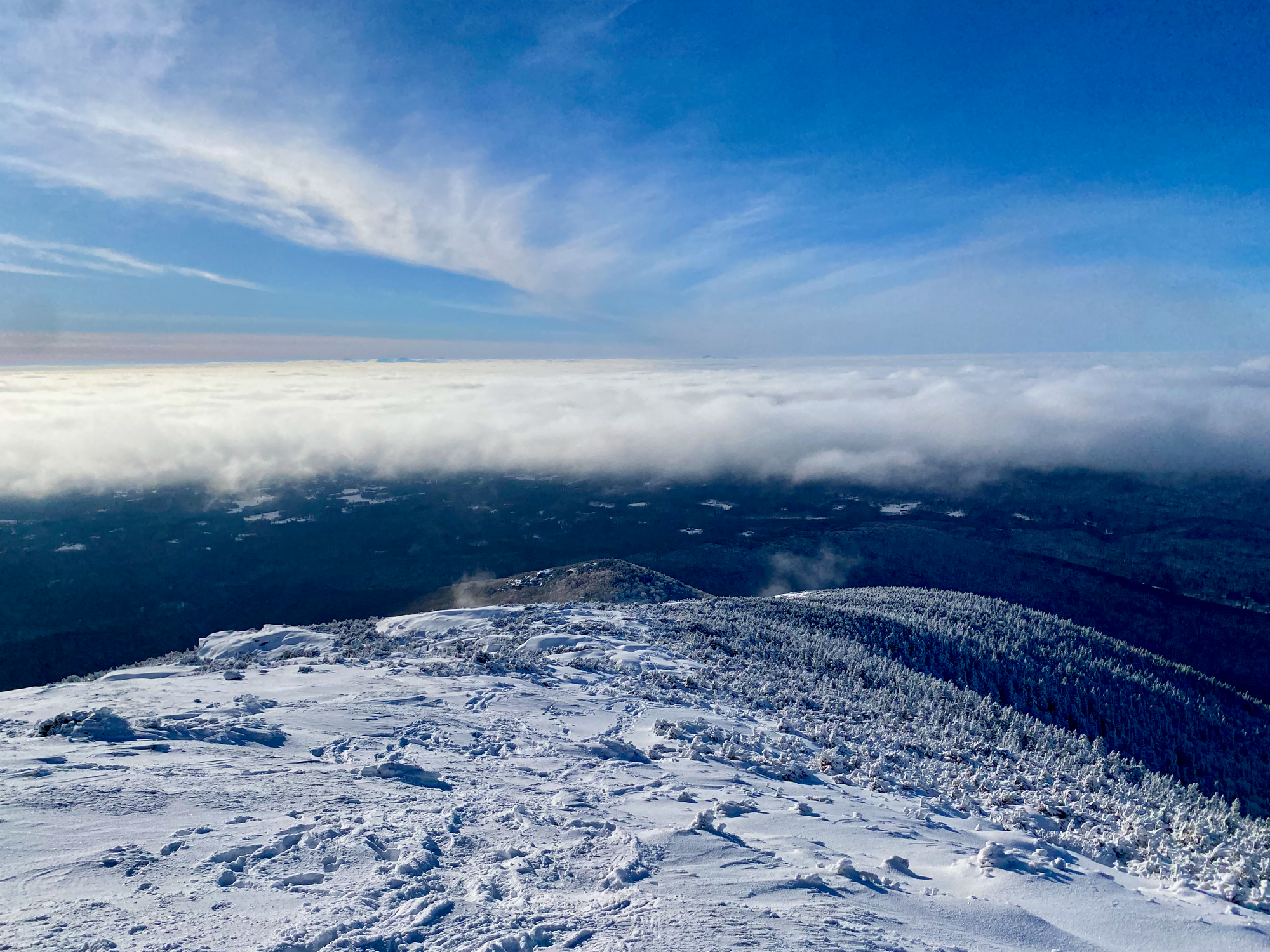
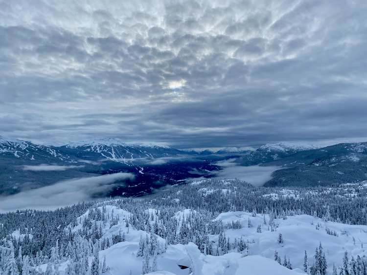
By the time I reached the ridge, the upper clouds had cleared, leaving a sea of fog stretching as far as I could see. In the distance, the higher peaks of the Adirondacks and the Whites rose above the cloud ocean. I’ve only seen this a couple times, and this was my first time seeing it outside British Columbia. It was stunning.
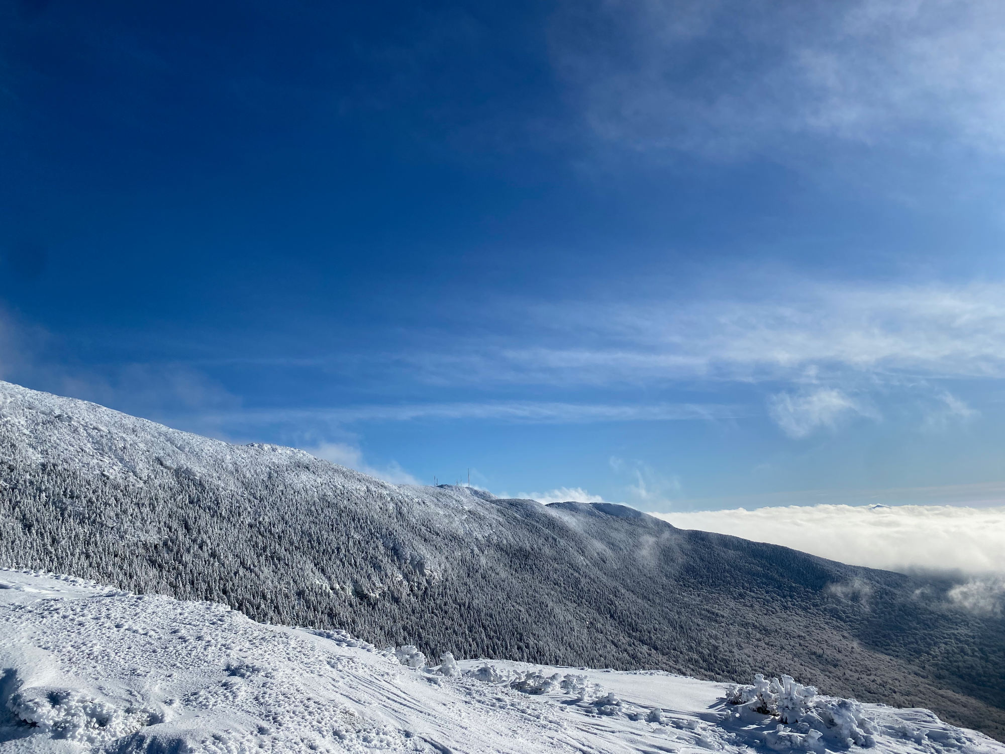
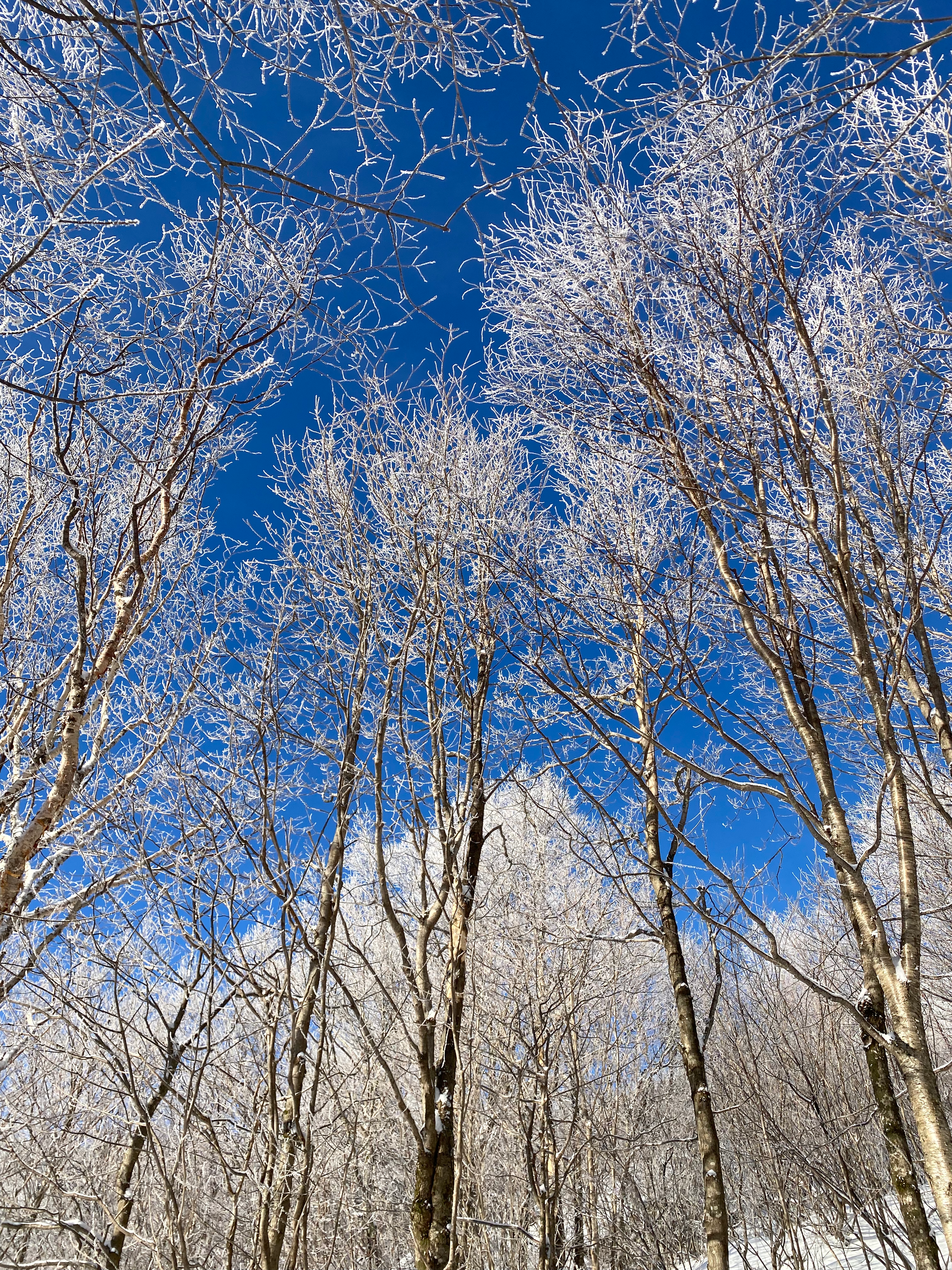
Of course, all the clouds cleared once we were a couple hours below the treeline. From the logging road, we finally saw the summit towering above us. We returned to the car and drove back to Montreal, stopping en route for some poutine.
A great start to the term.
Member discussion